Day 130 9/6/17 16 miles
So last night, before going back to the trail, a bunch of us went out to eat at the Mexican place in town and I have to say it wasn’t the best burrito I’ve ever had. The portions were good but then they covered it in like velveeta cheese or something, it was weird. I was talking to a couple there and the guy was a retired firefighter from Ohio. When I explained to them what we were up to he left the tip on our meal so that was cool. Thanks Tom! After supper QB and I hitched back to Marias Pass, where we got off trail earlier in the day, and found a spot in the woods to camp.
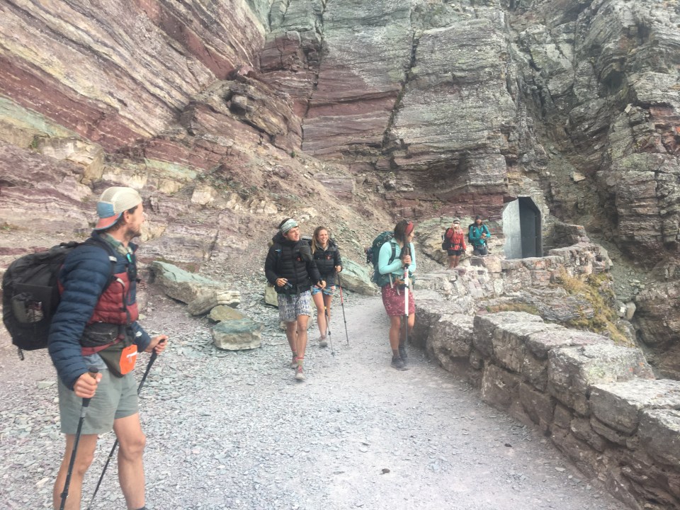
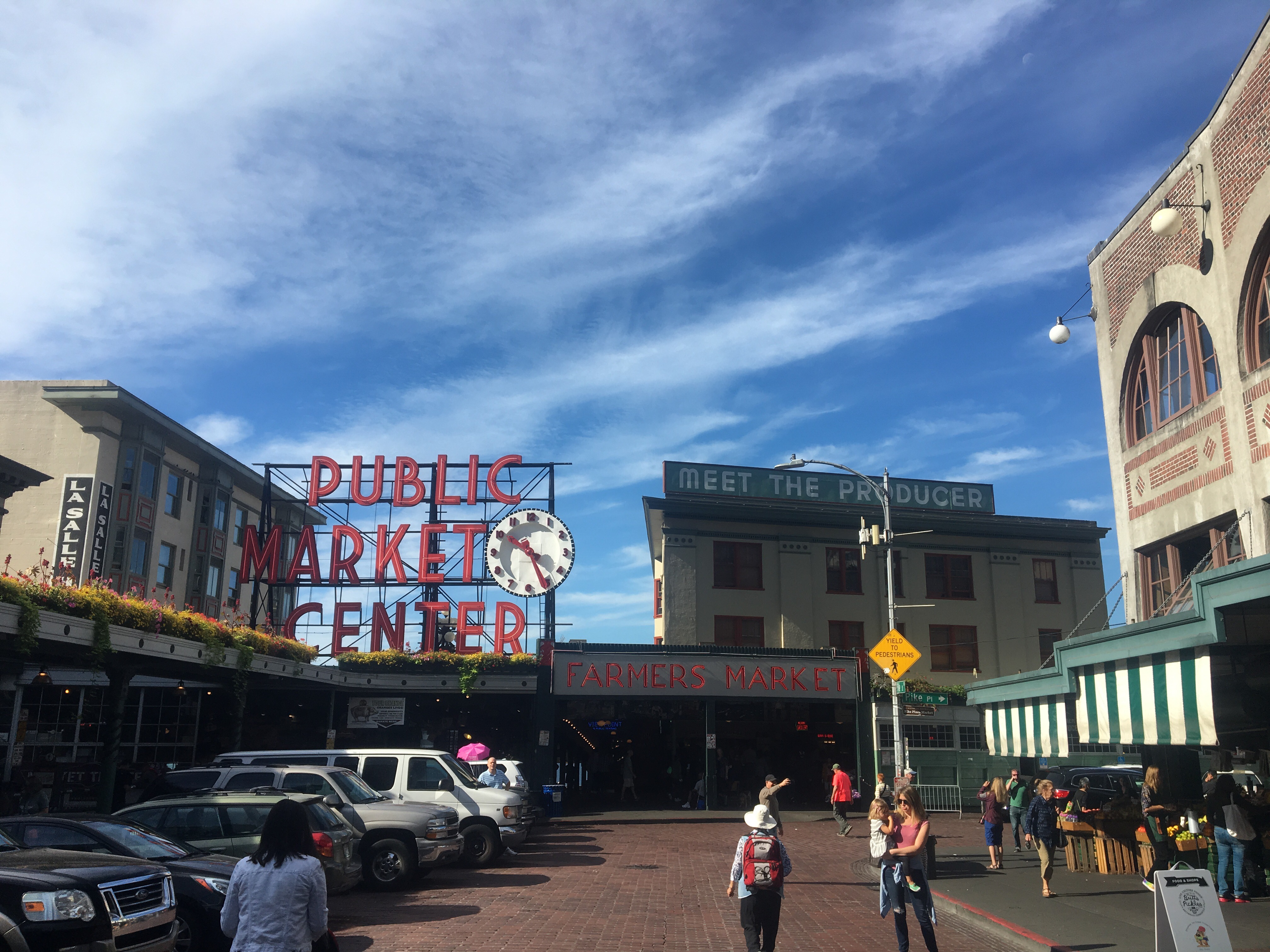
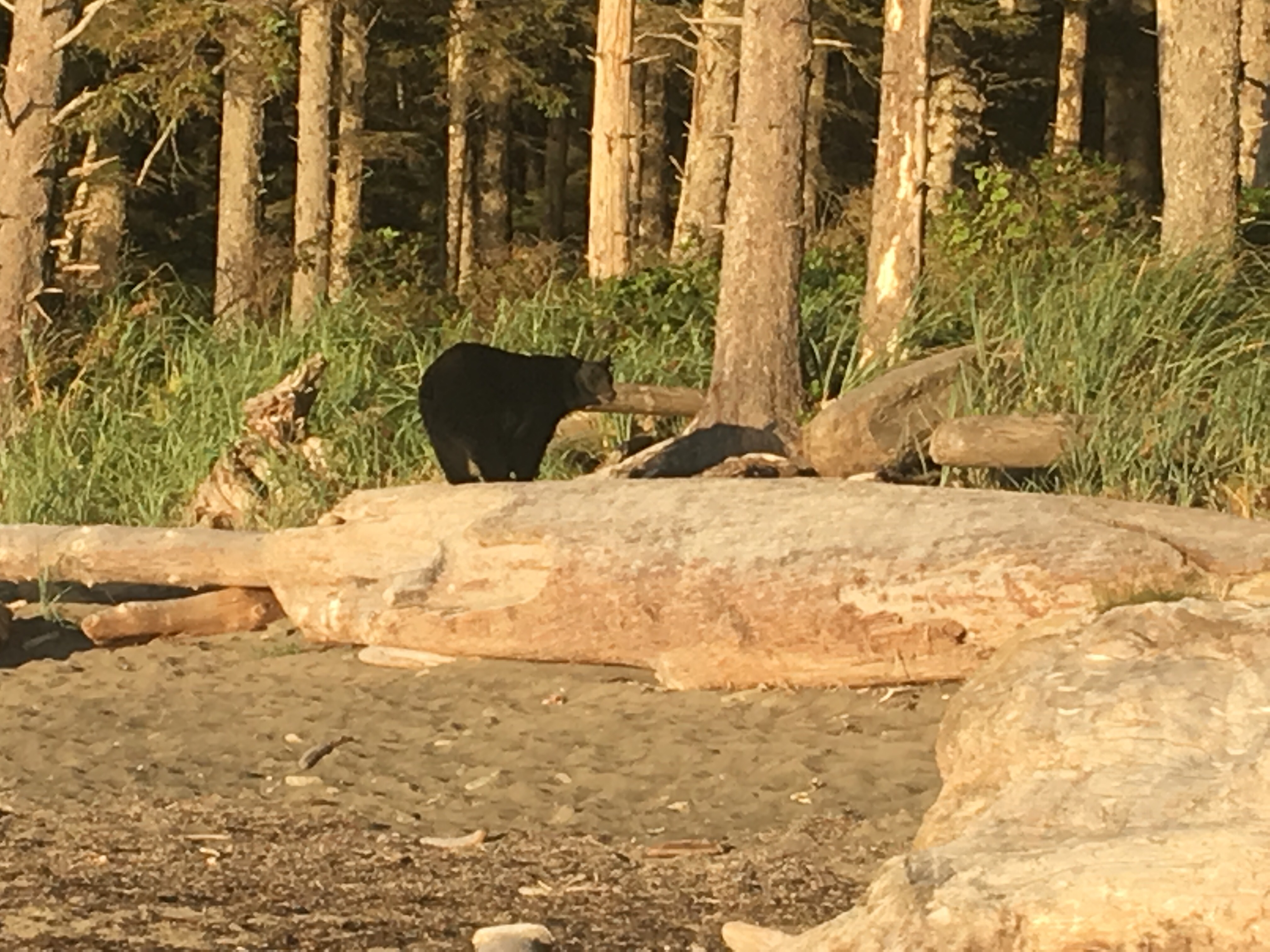
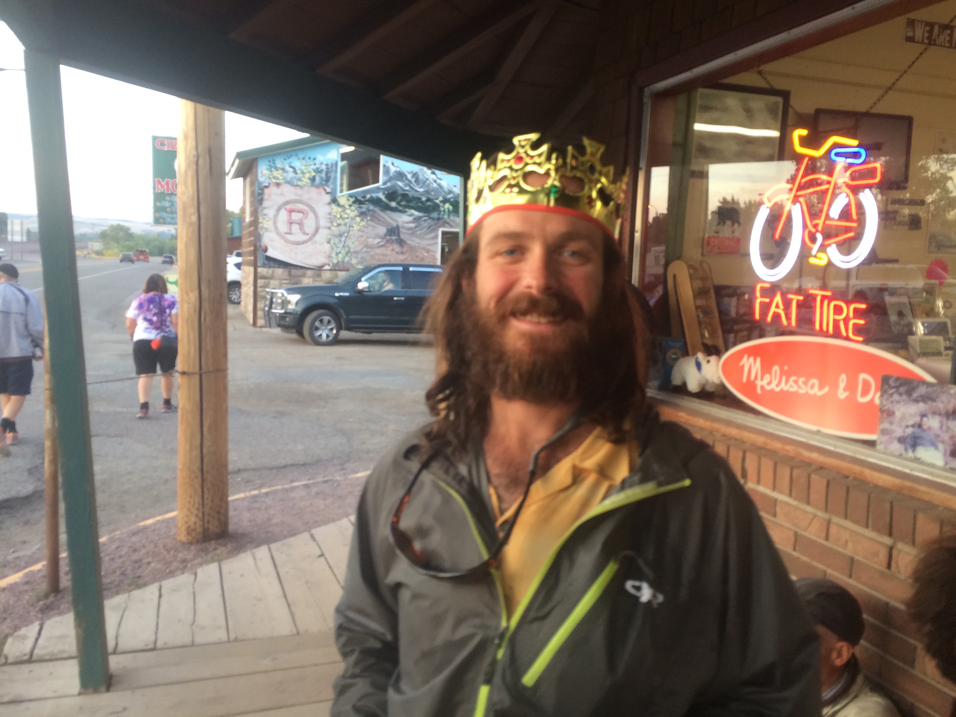
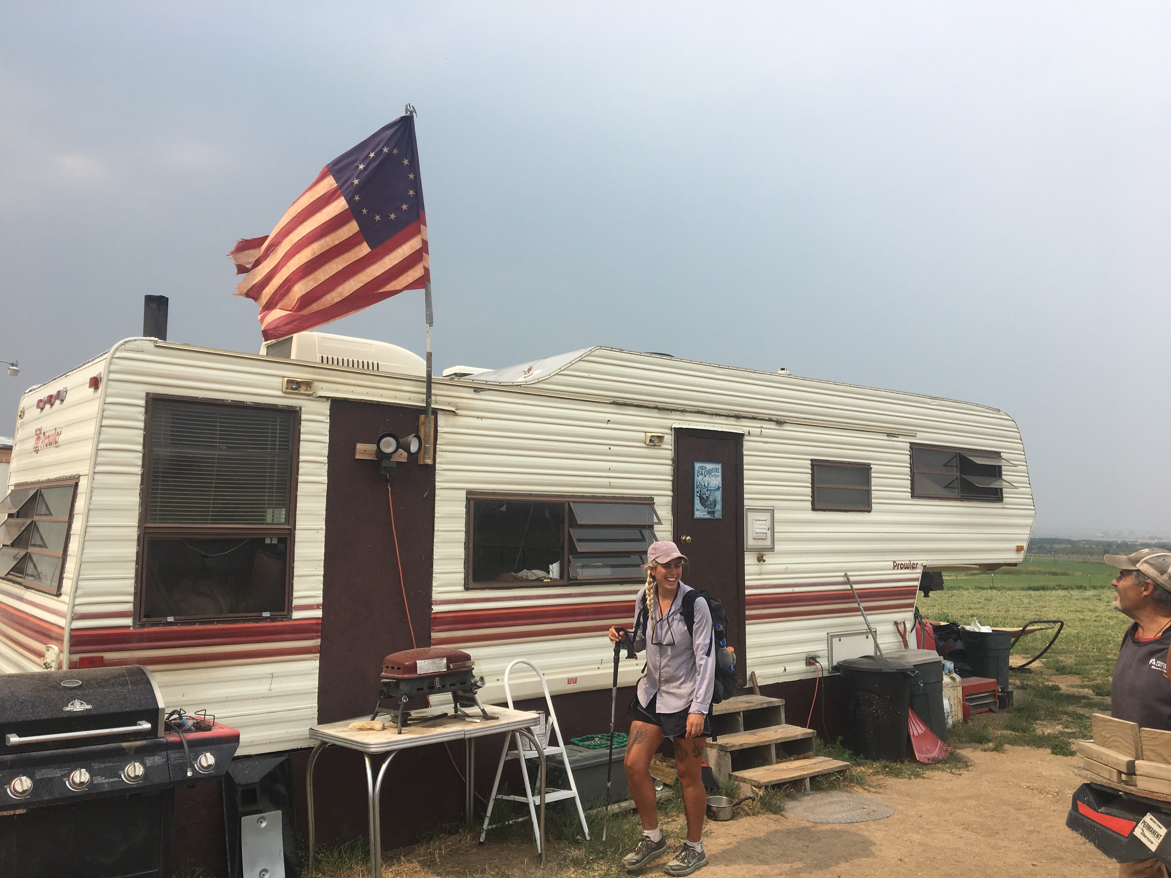
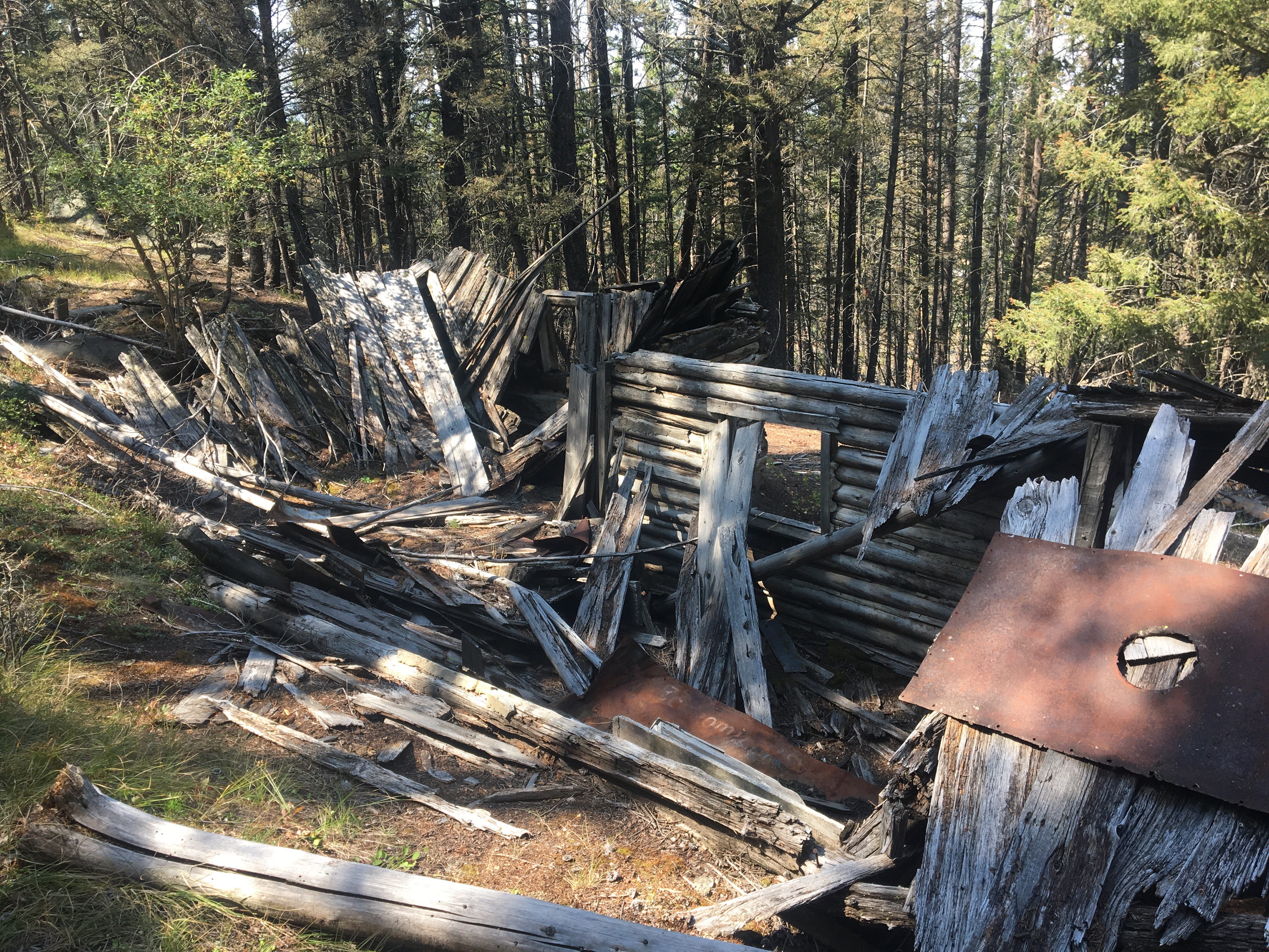
This morning we got up and started cruising right into town. We crossed rt 2 and some railroad tracks and got into Glacier NP but since our permits don’t start until tomorrow night we’ll be walking back into East Glacier Village and spending the night there. From Marias Pass the trail kind of parallels the road and the tracks all the way to town. There wasn’t anything too spectacular to see from trail, or maybe there was, it was just too smoky to see much of anything. About a mile from town I saw and heard a small dark brown bear crashing through the woods 15-20 feet to my right. It scared the bejesuses out of me but I recovered quickly. Once again QB didn’t see it but she did hear it. Current bear score 12-2 in my favor. We got to town and ate a couple times at the Two Medicine Grill, which I recommend. I did laundry and showered for the first time in a week and got a room half off at the Circle R motel because it didn’t have a TV. Fine with me, I feel like hotel TV’s only play Forensic Files anyway. 
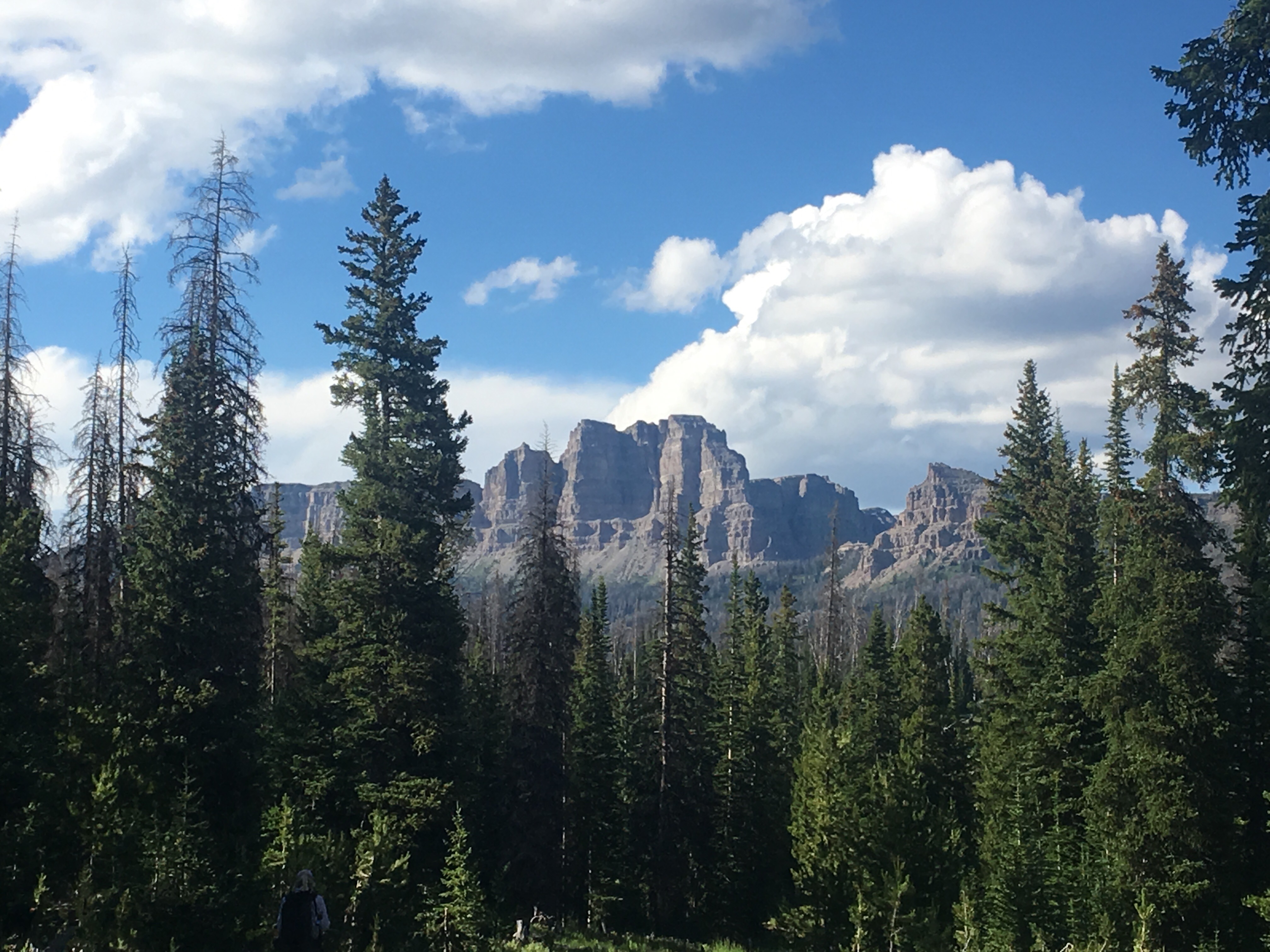
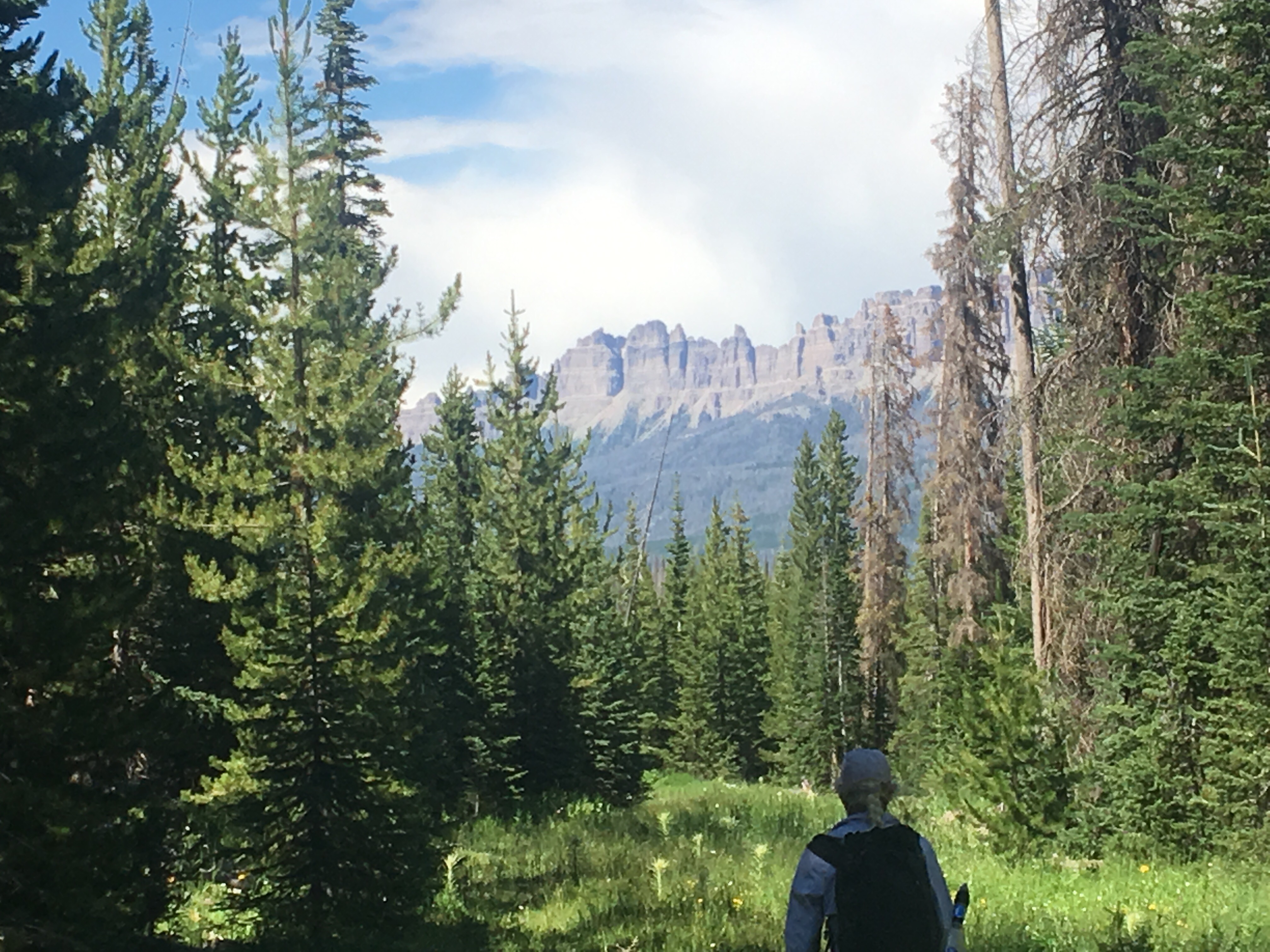
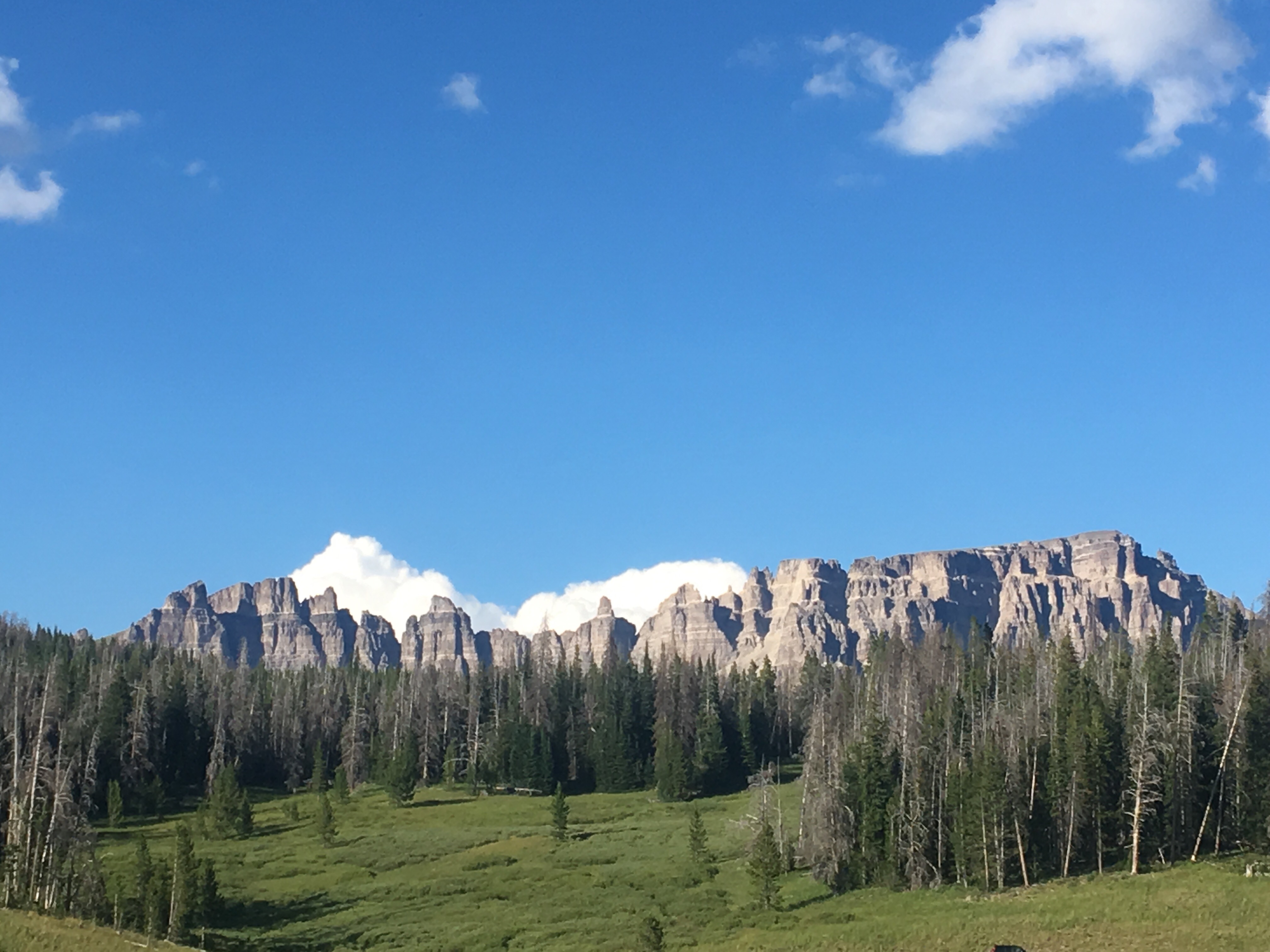
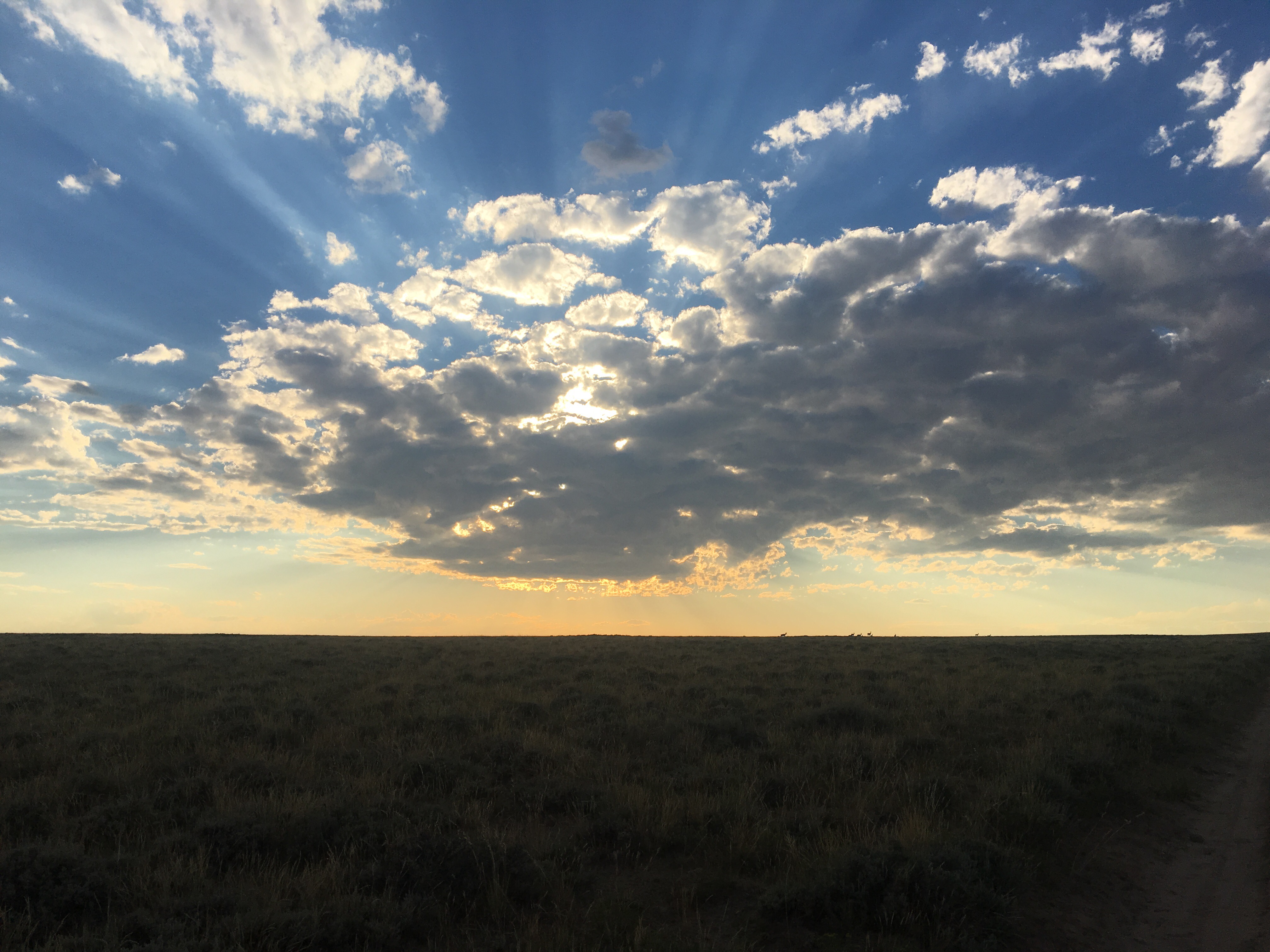
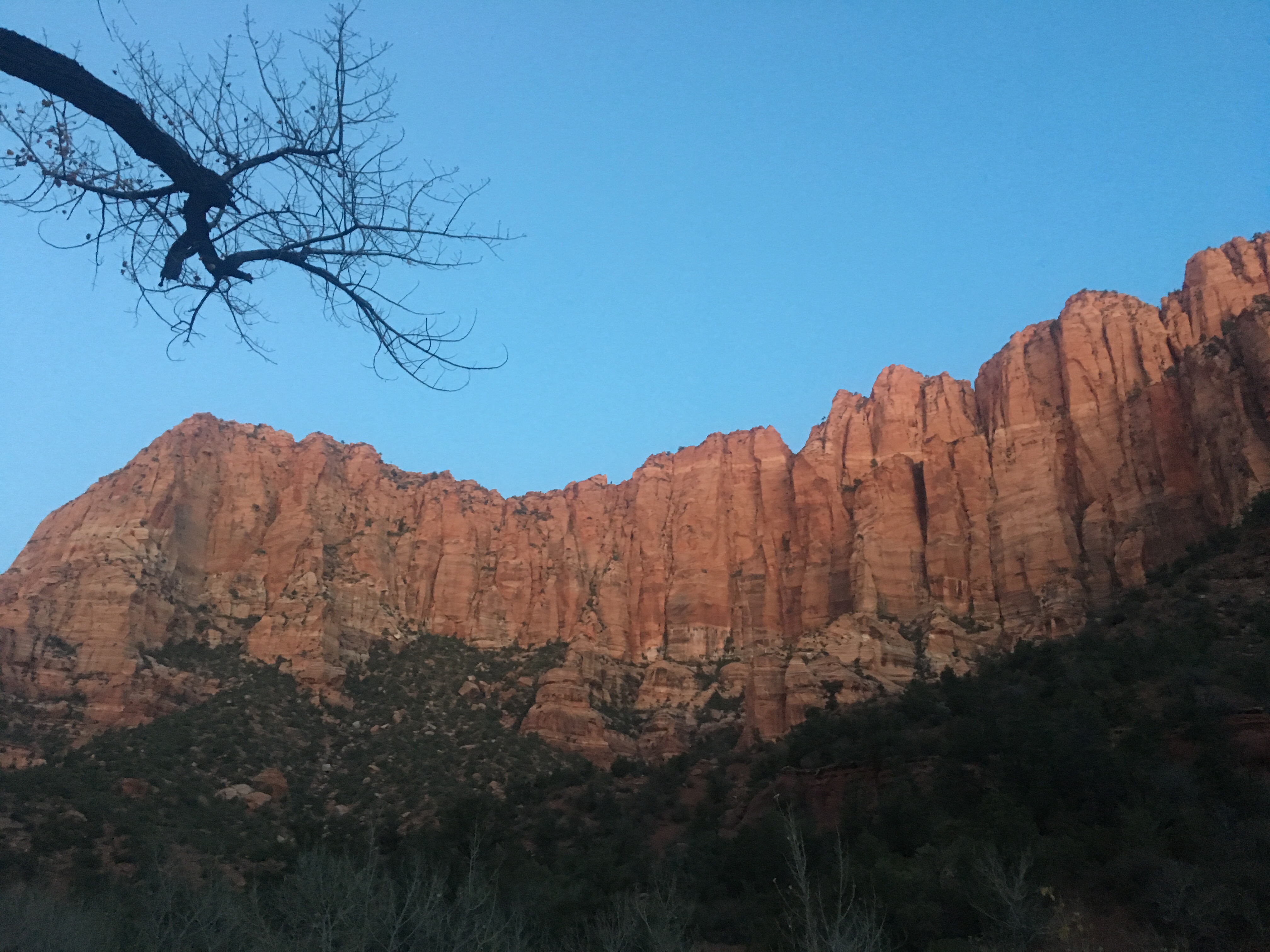
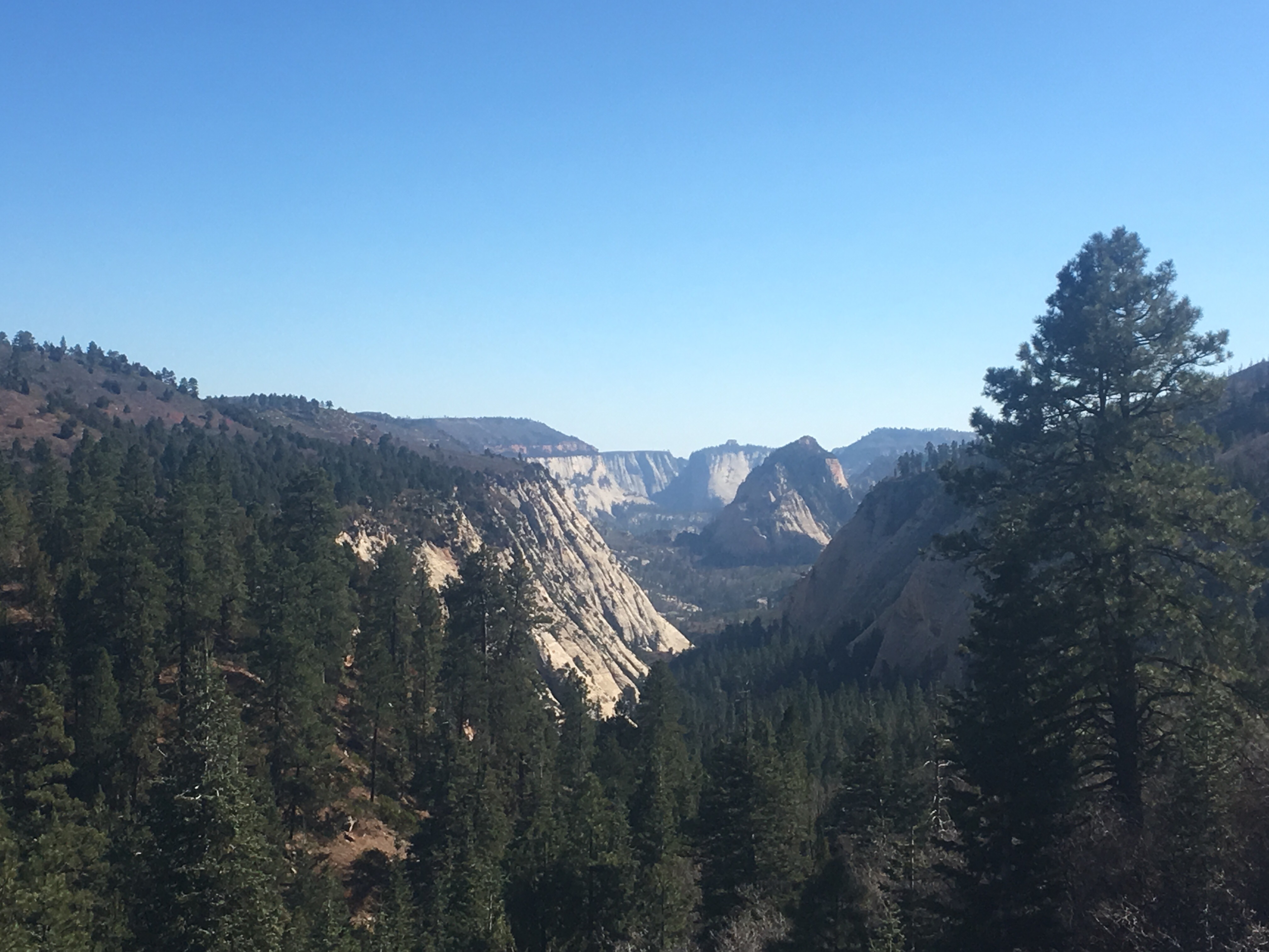
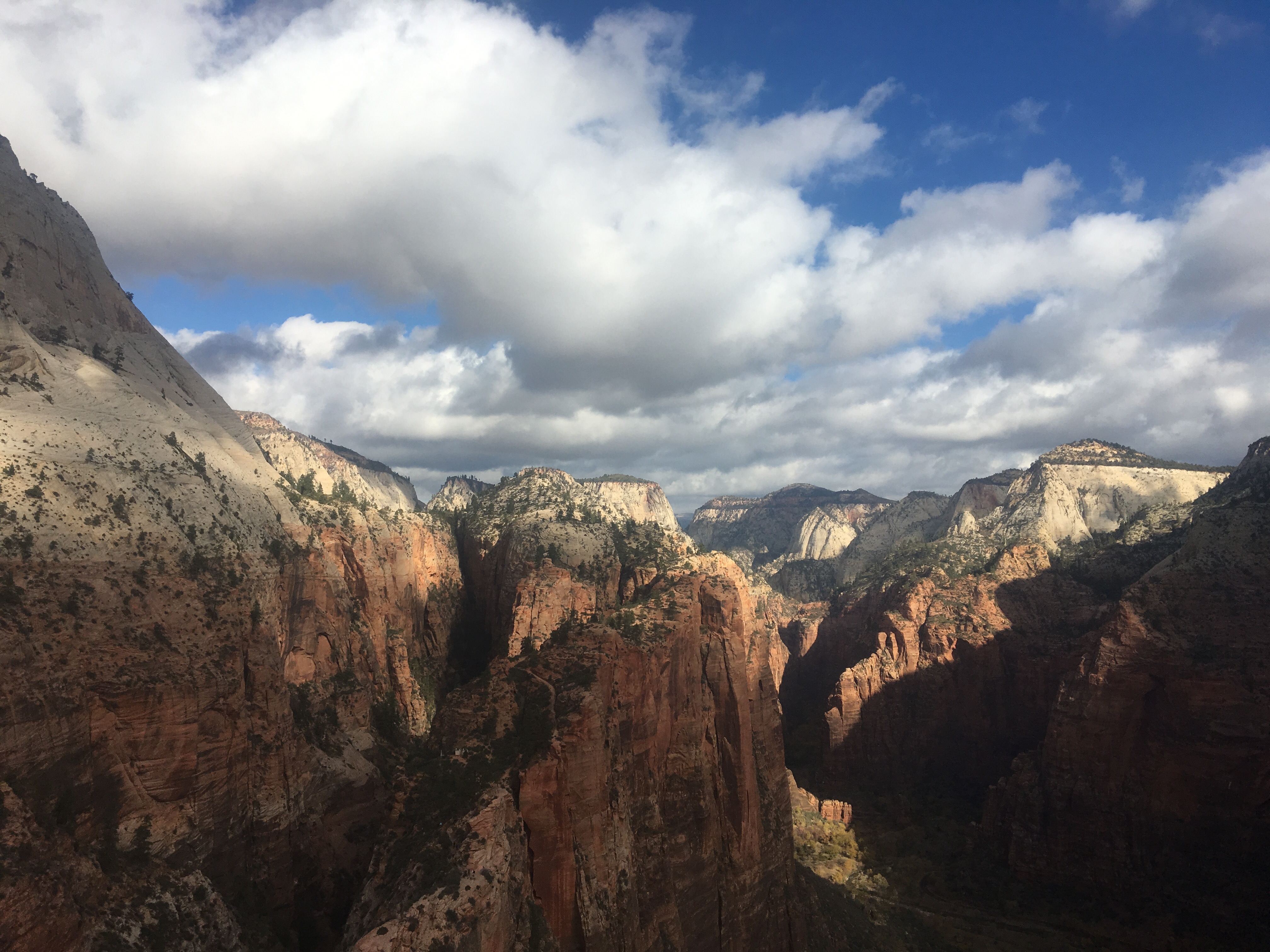
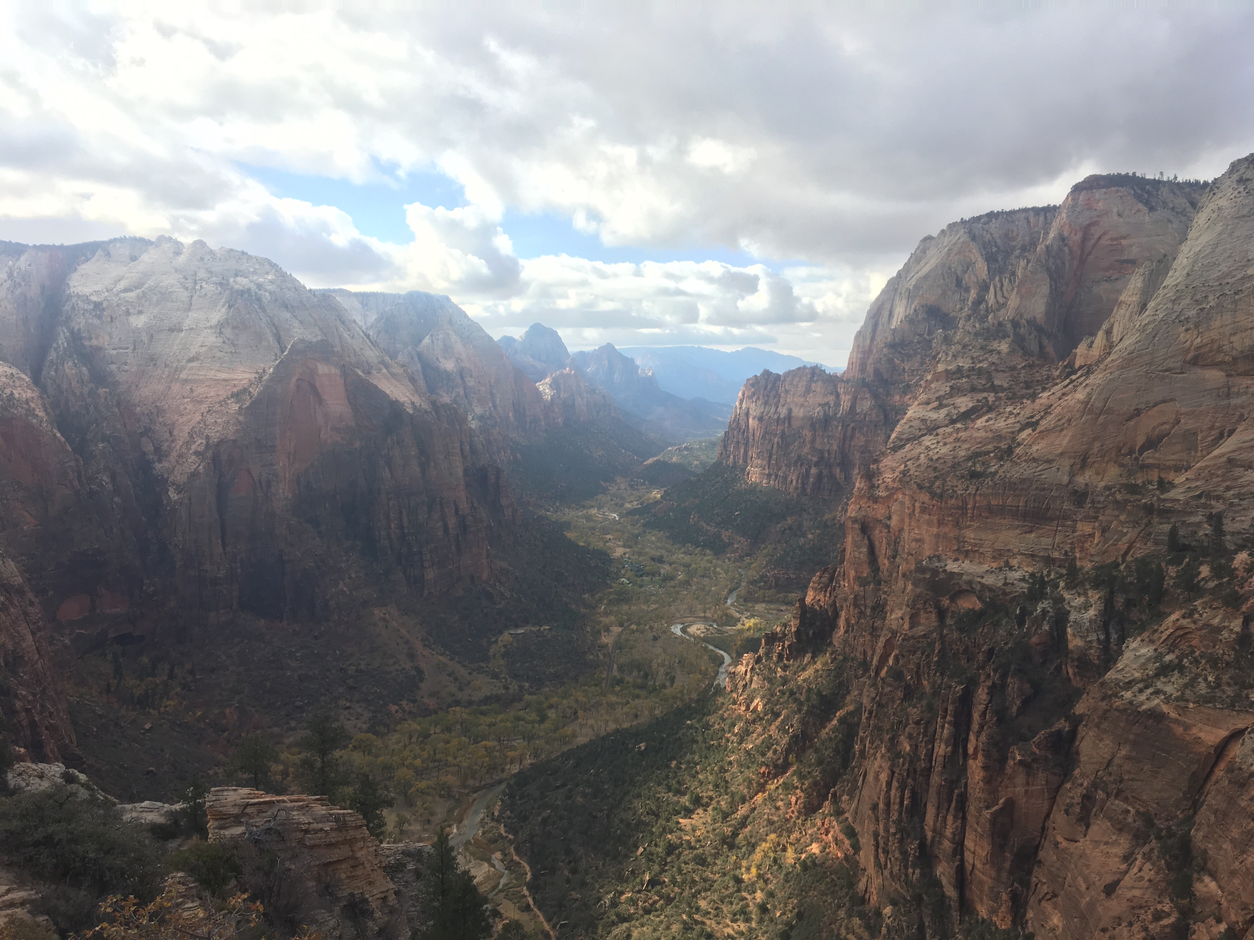
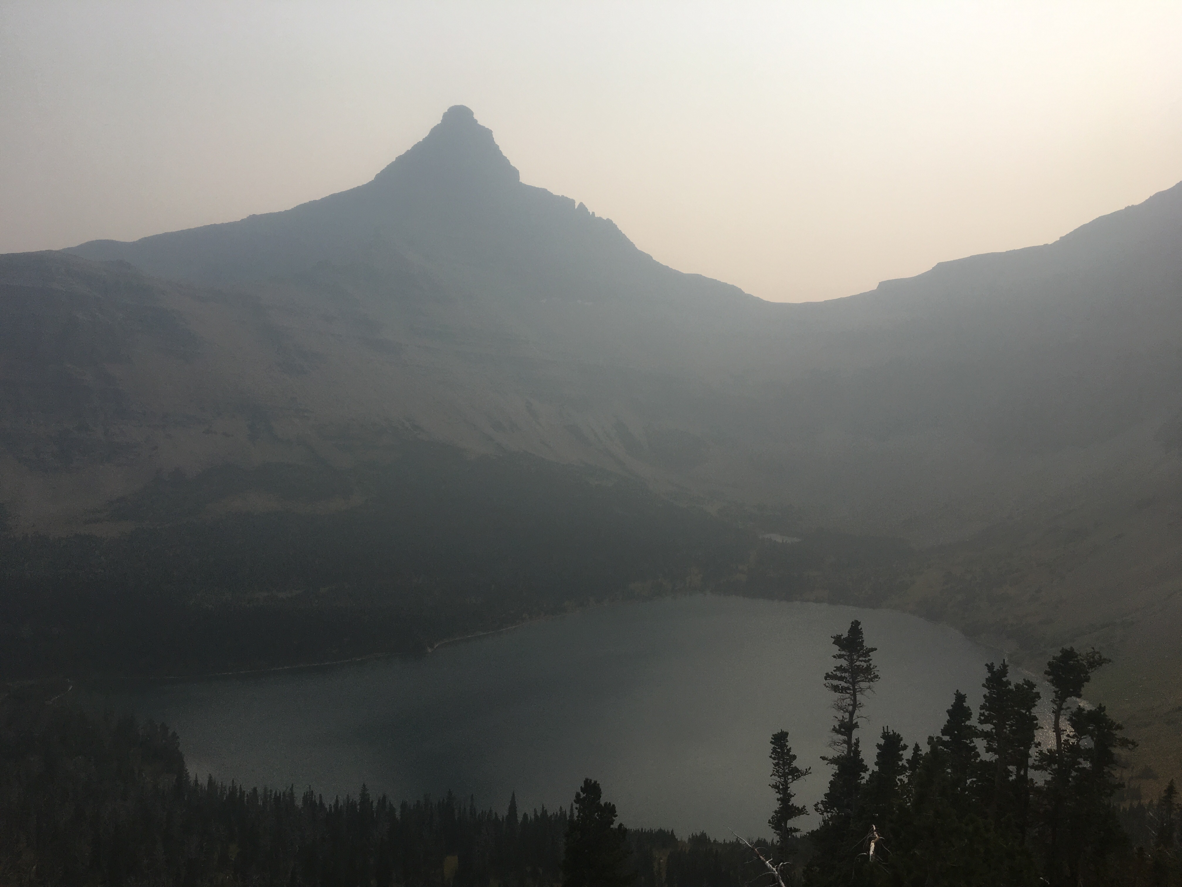
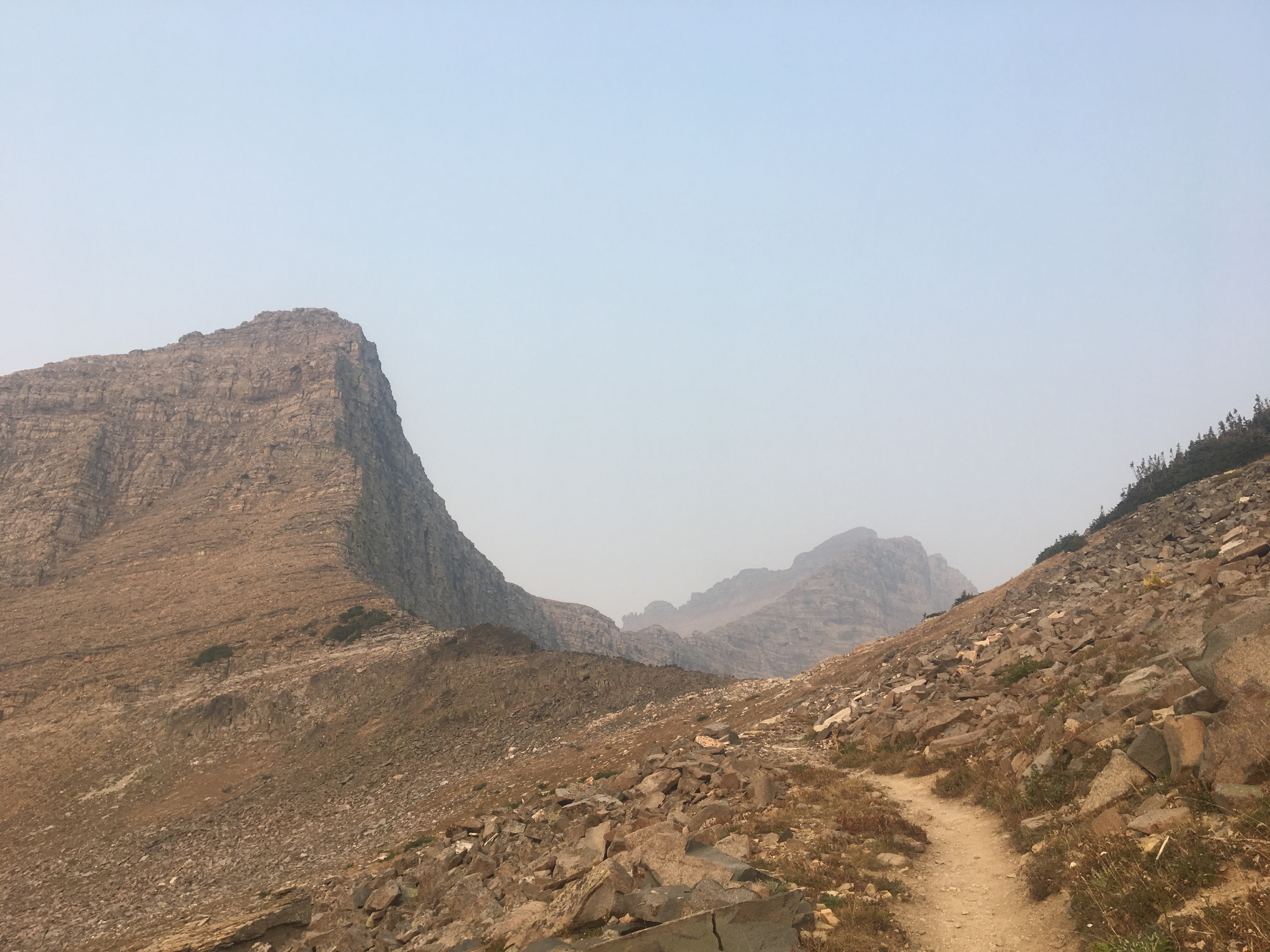
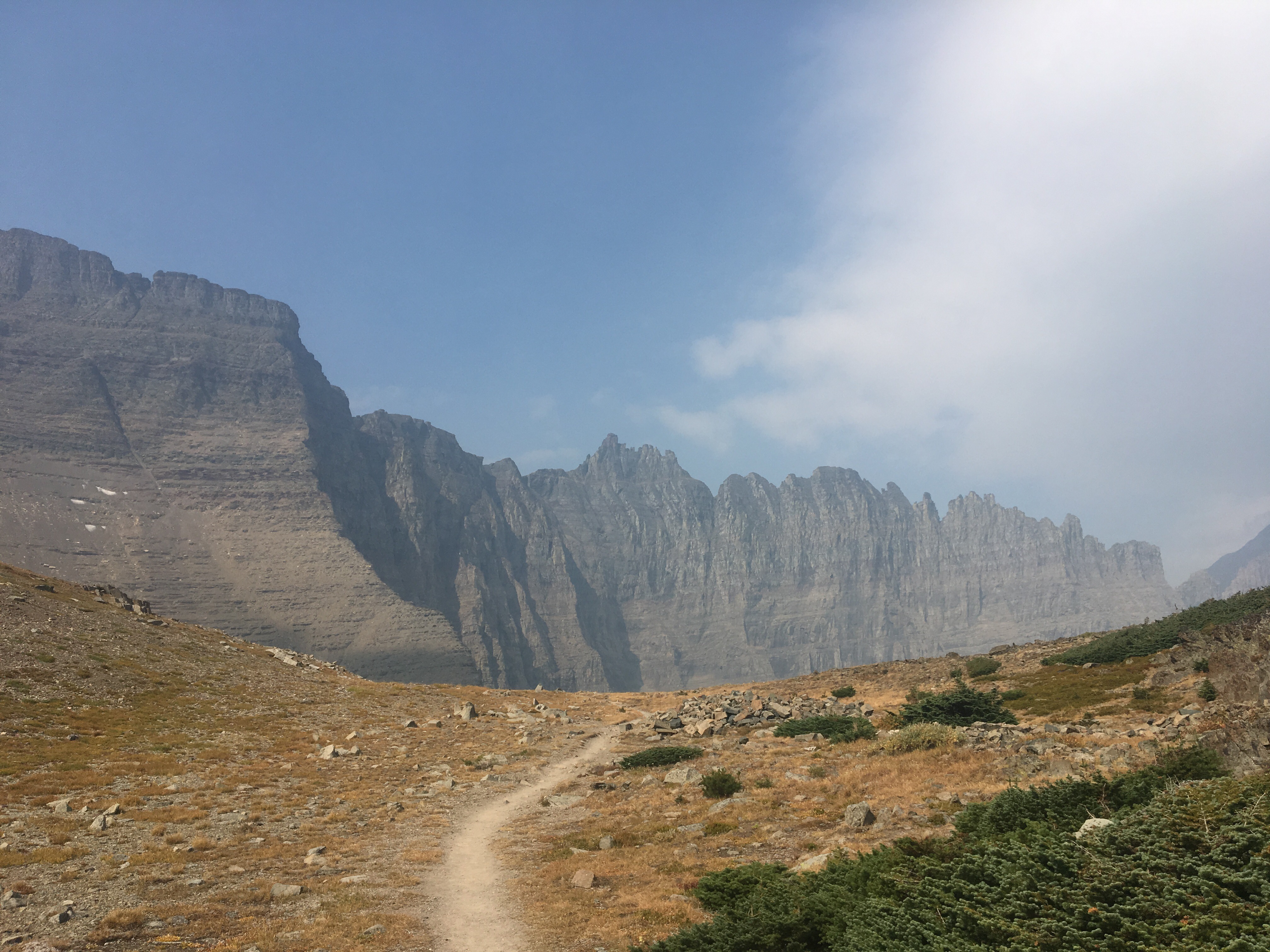
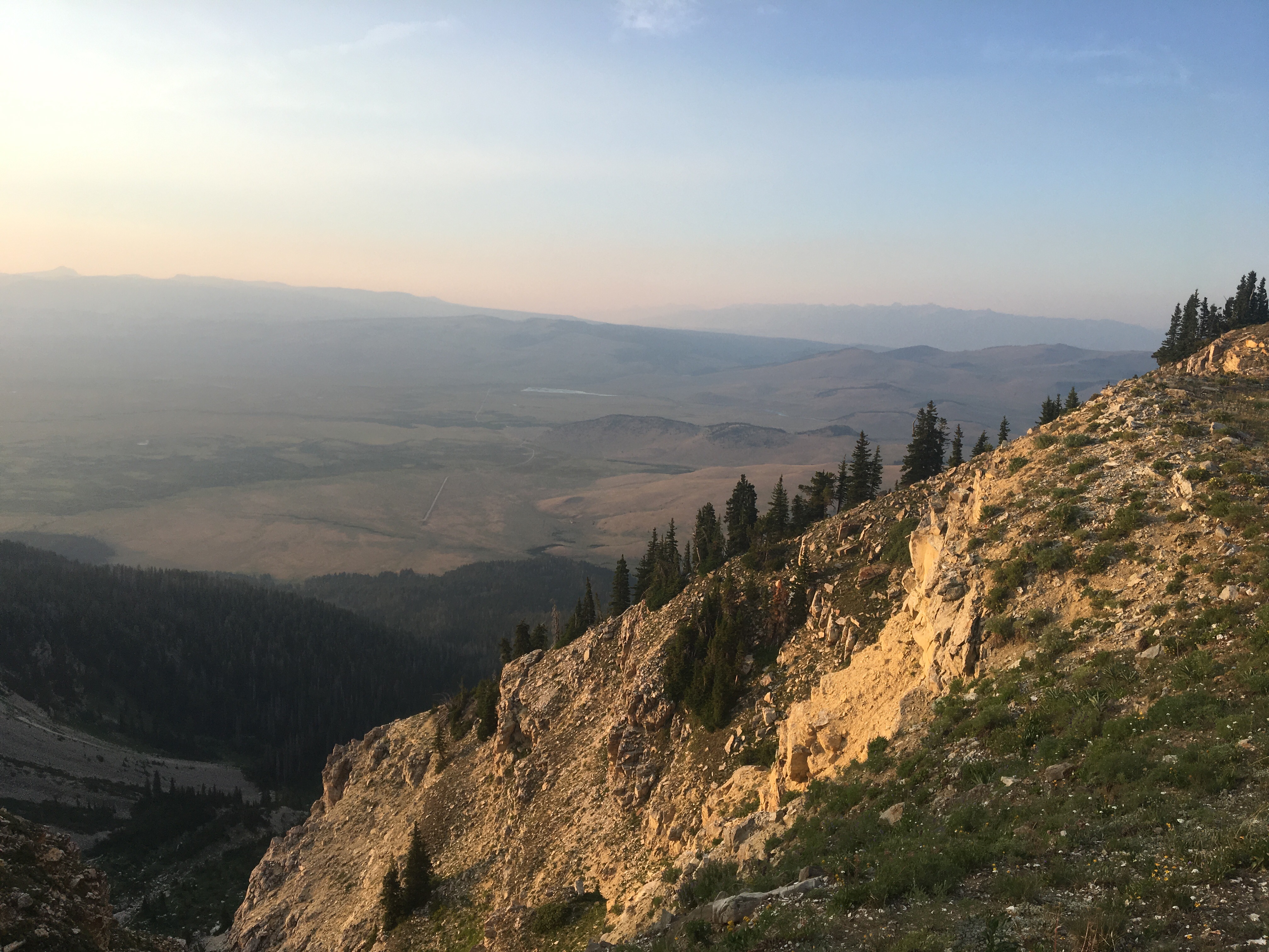
 Smoky!
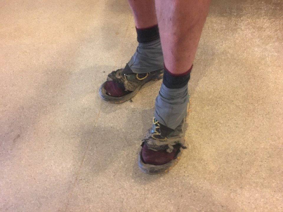 Ran into Recalculating in town and he’s become quite feral since I first met him in New Mexico, his shoes look like they got struck by lightning
 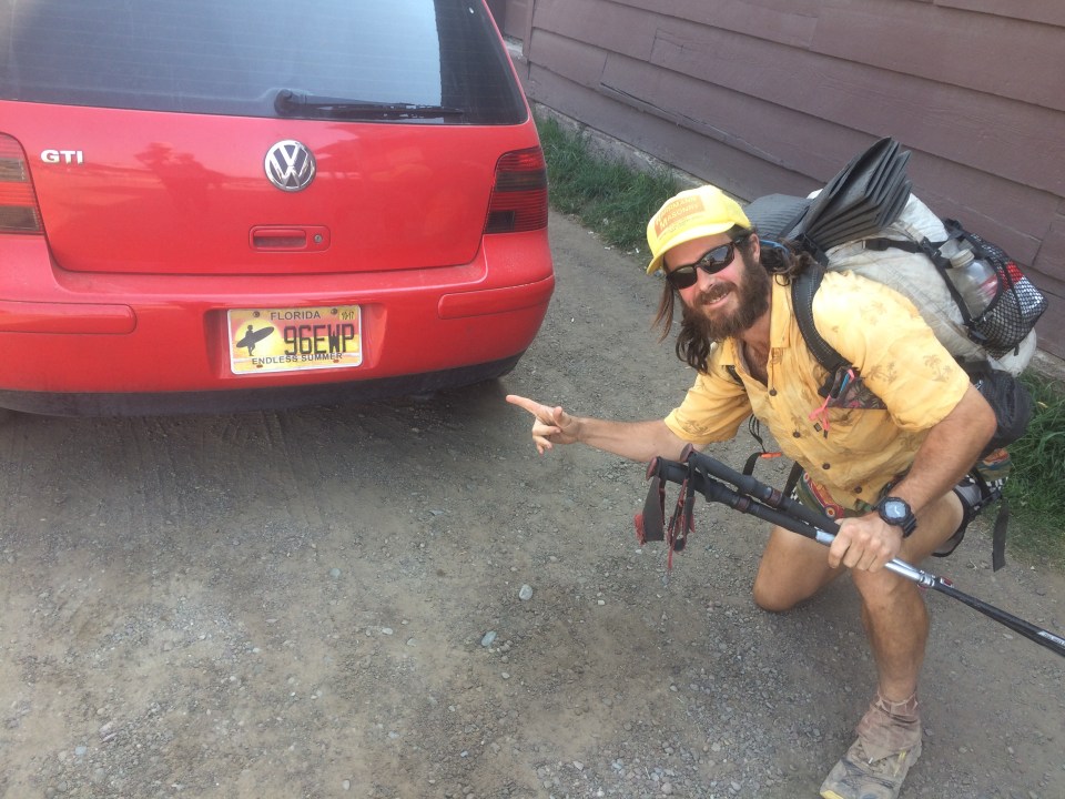 This license plate has my name on it
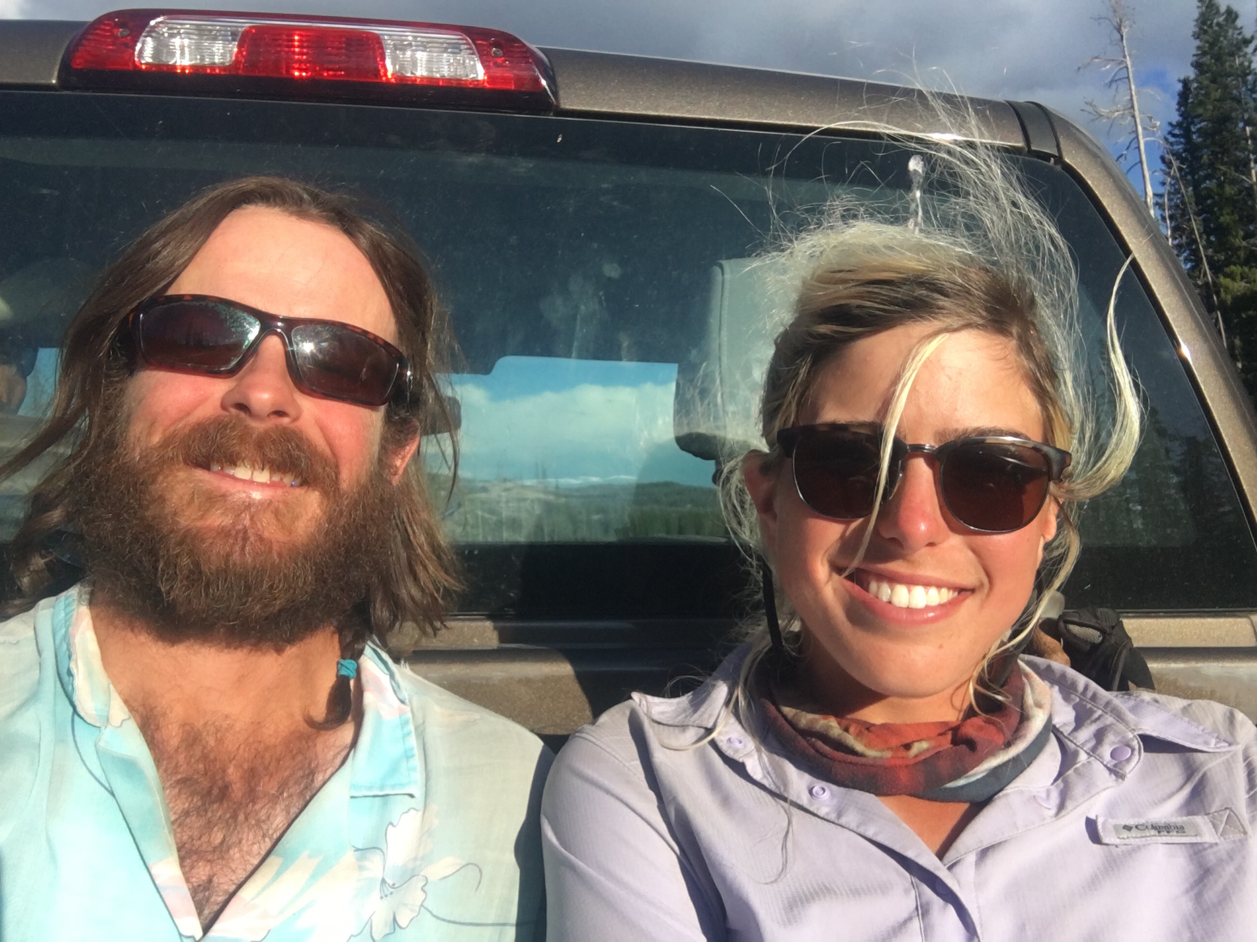
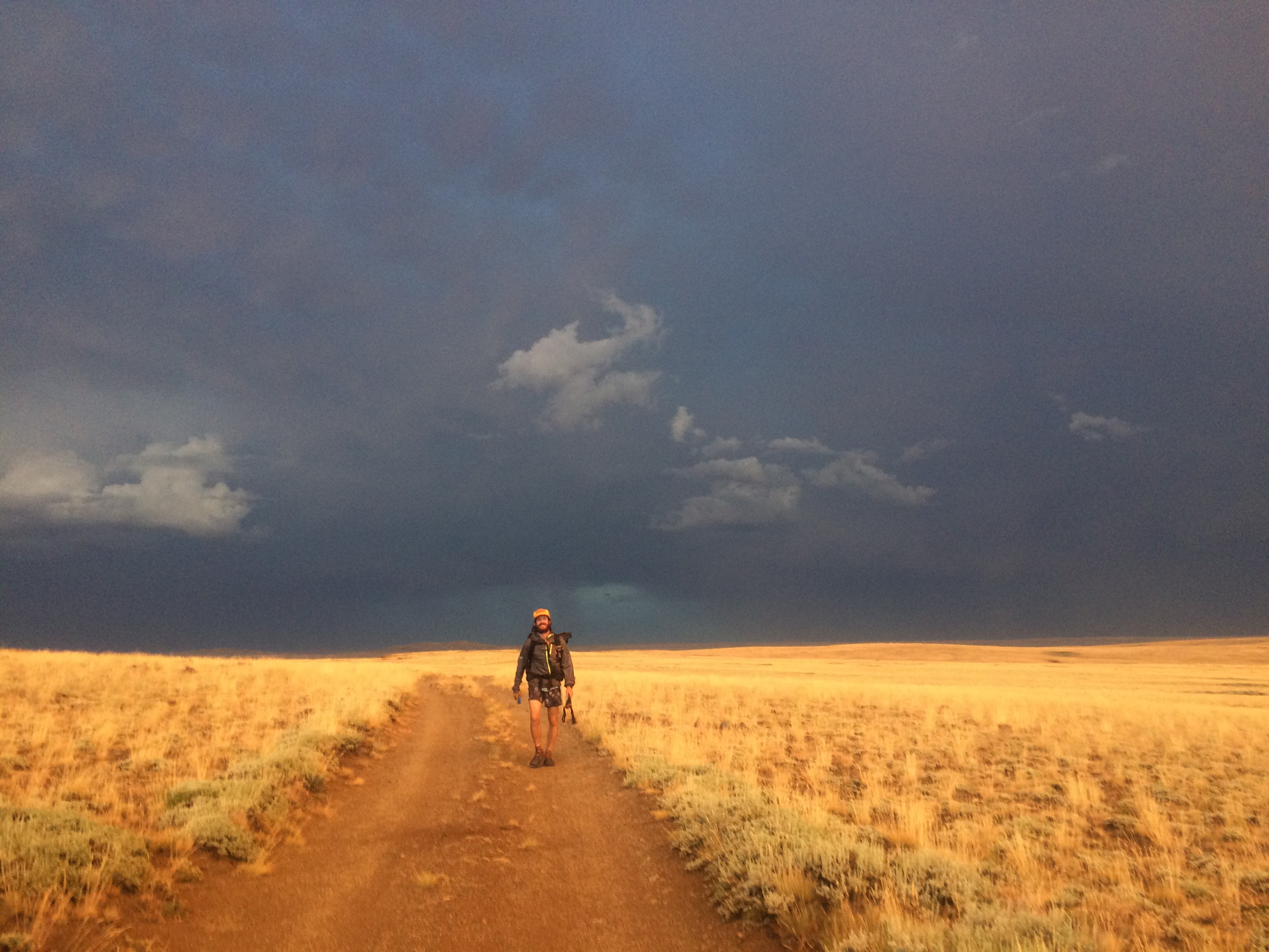
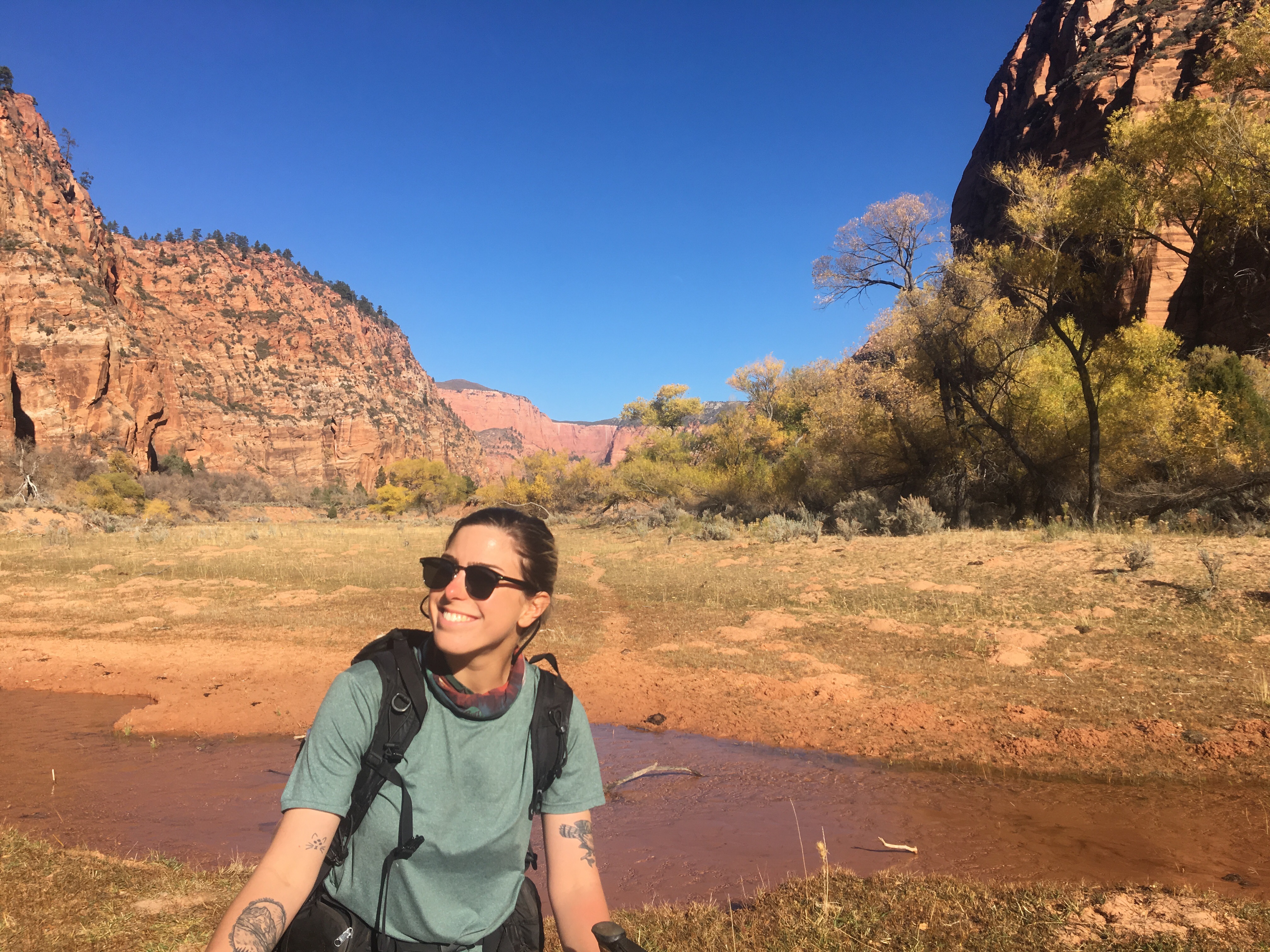
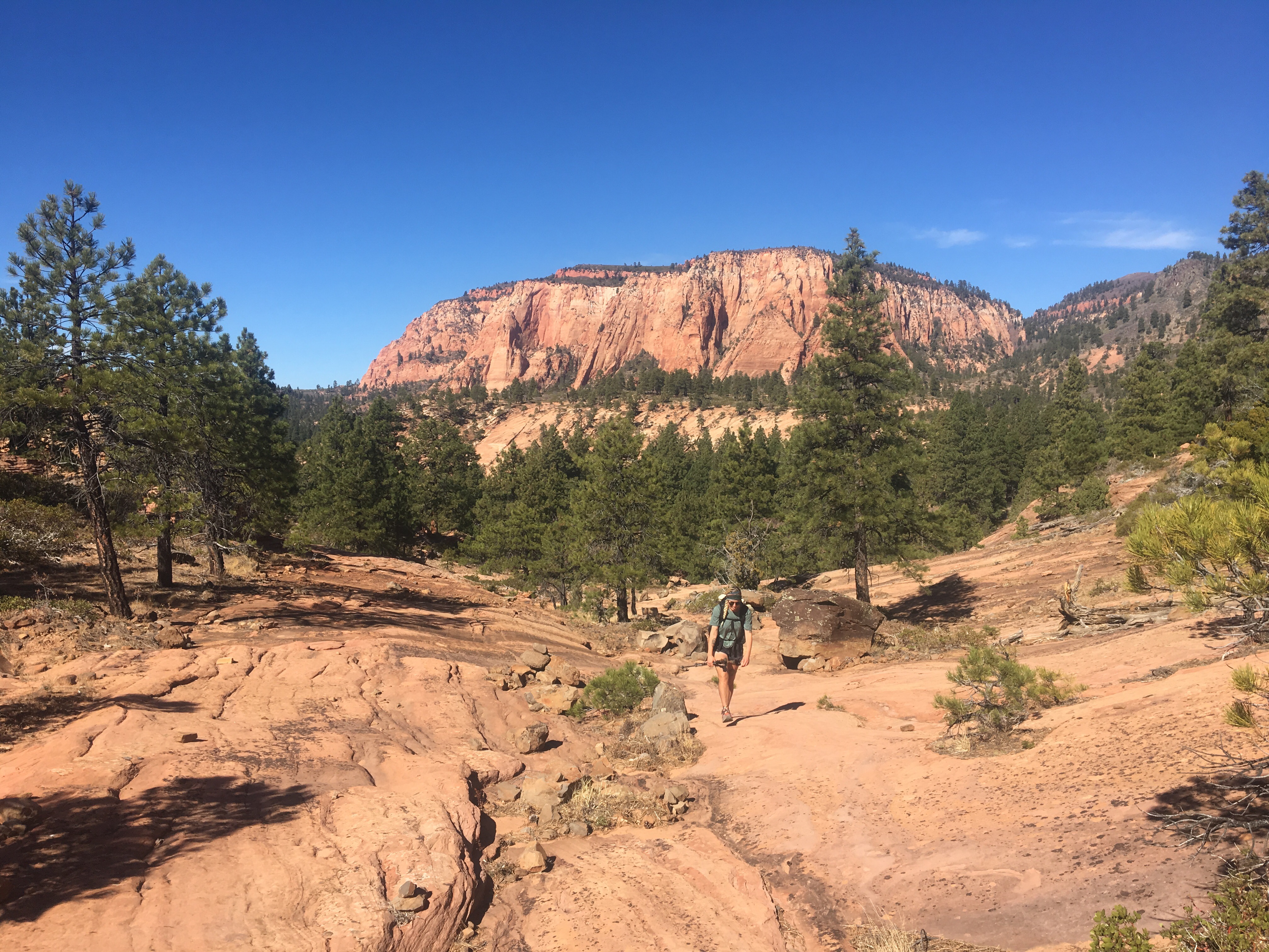
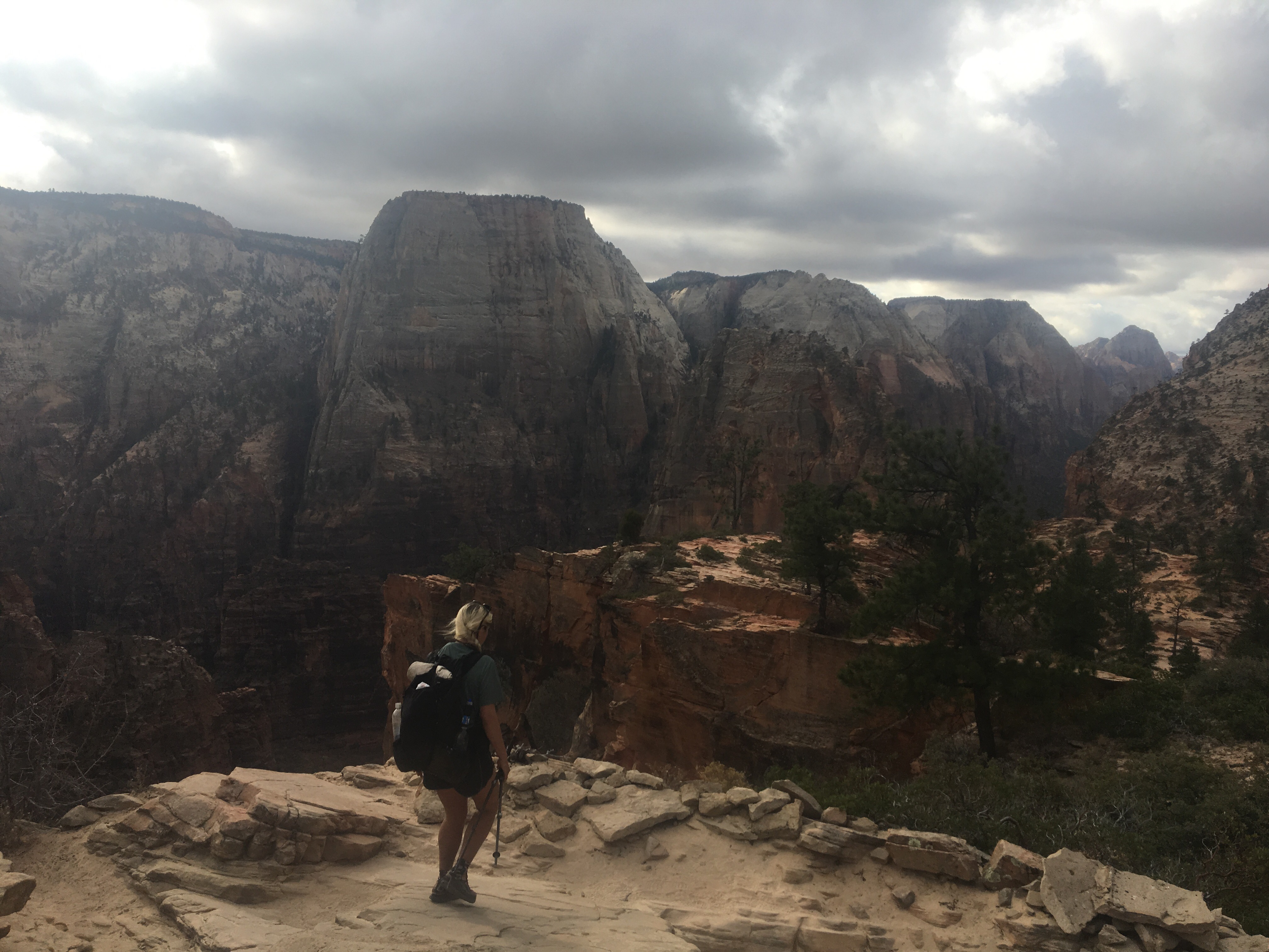
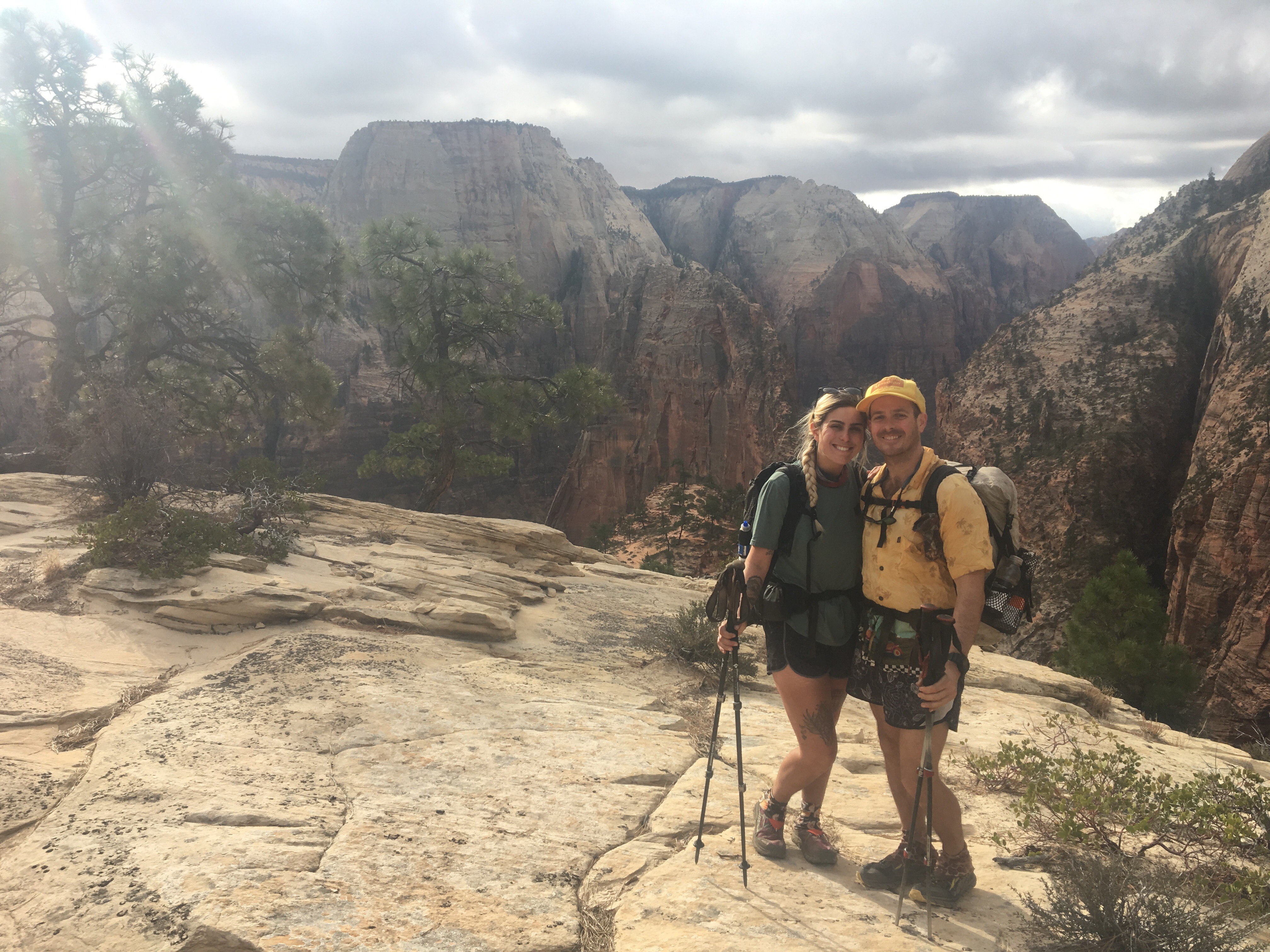
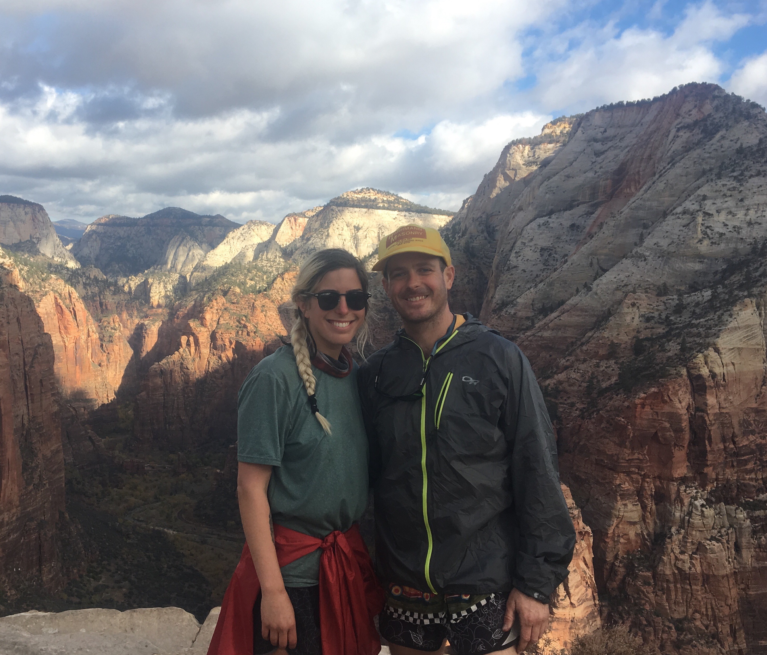
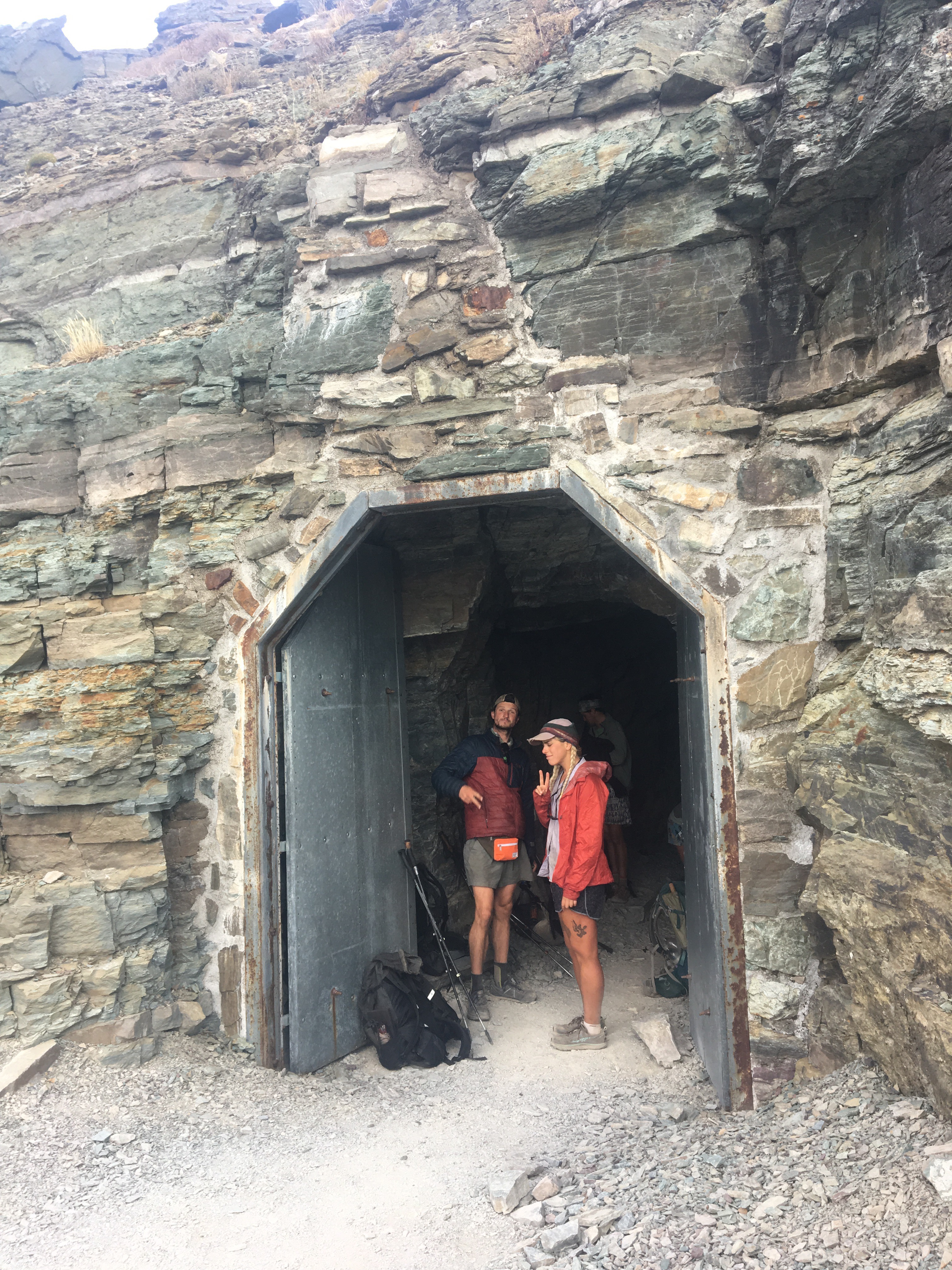
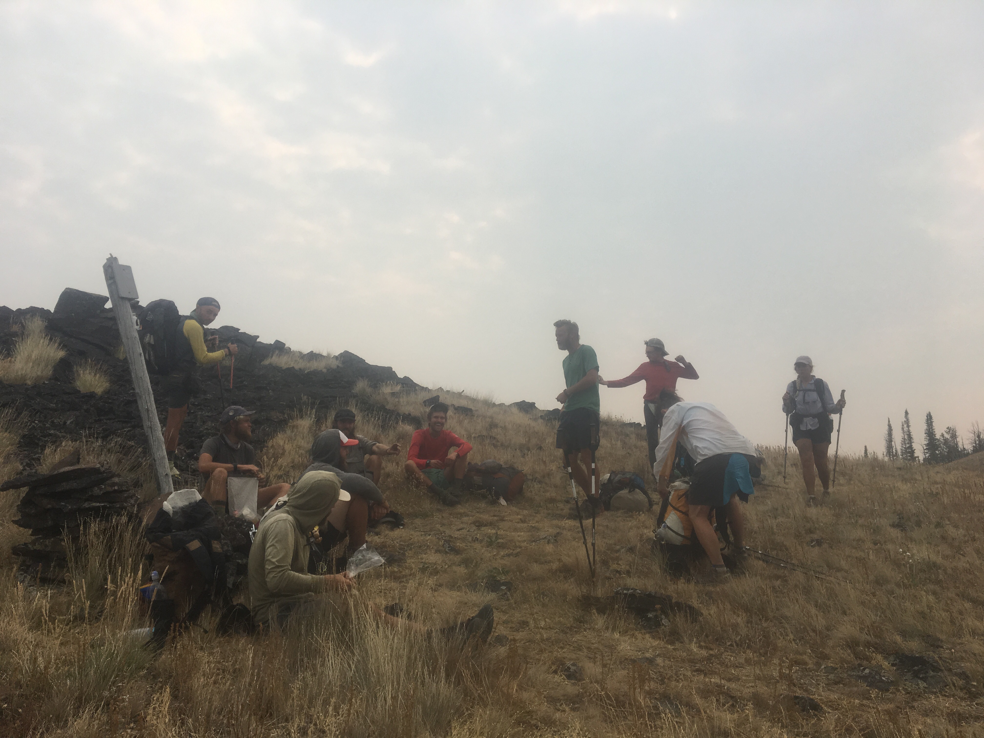
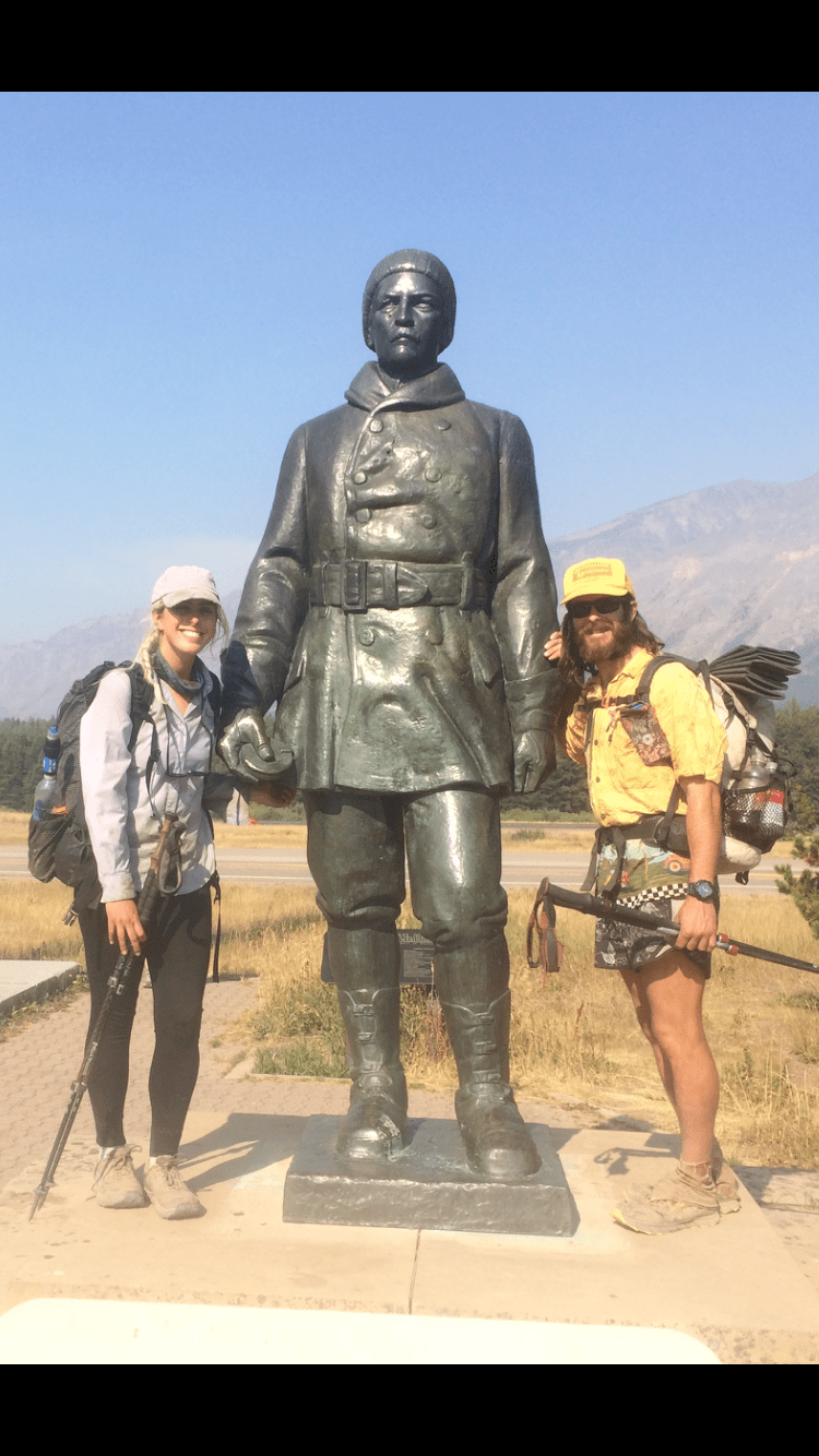 Me and QB and some tall guy
Day 131 9/7 25 miles
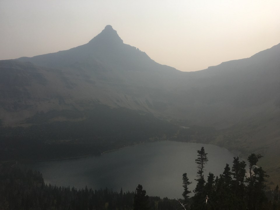
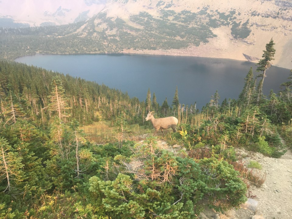
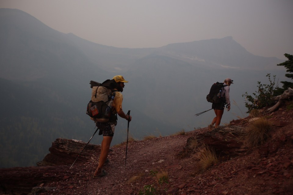
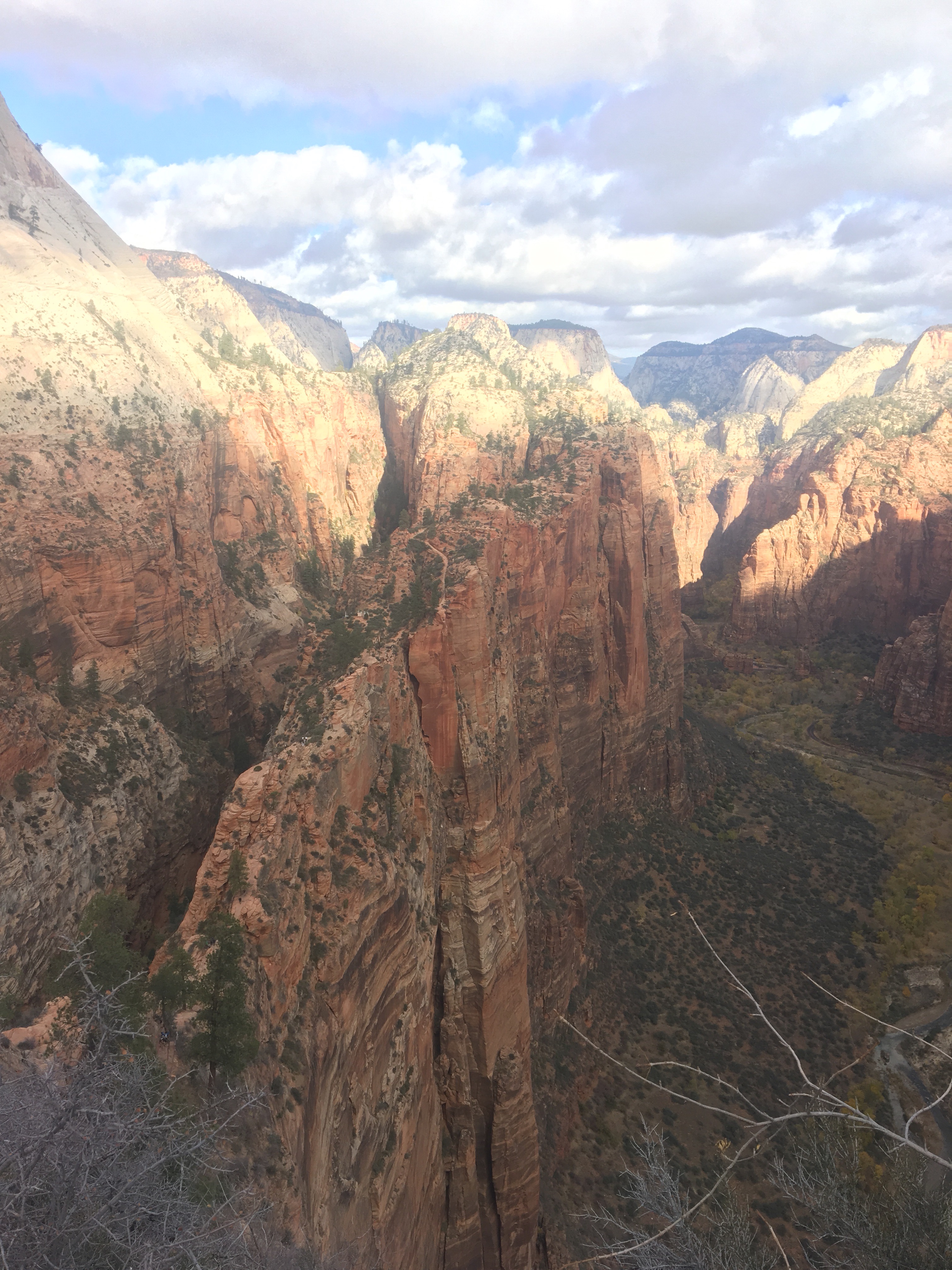
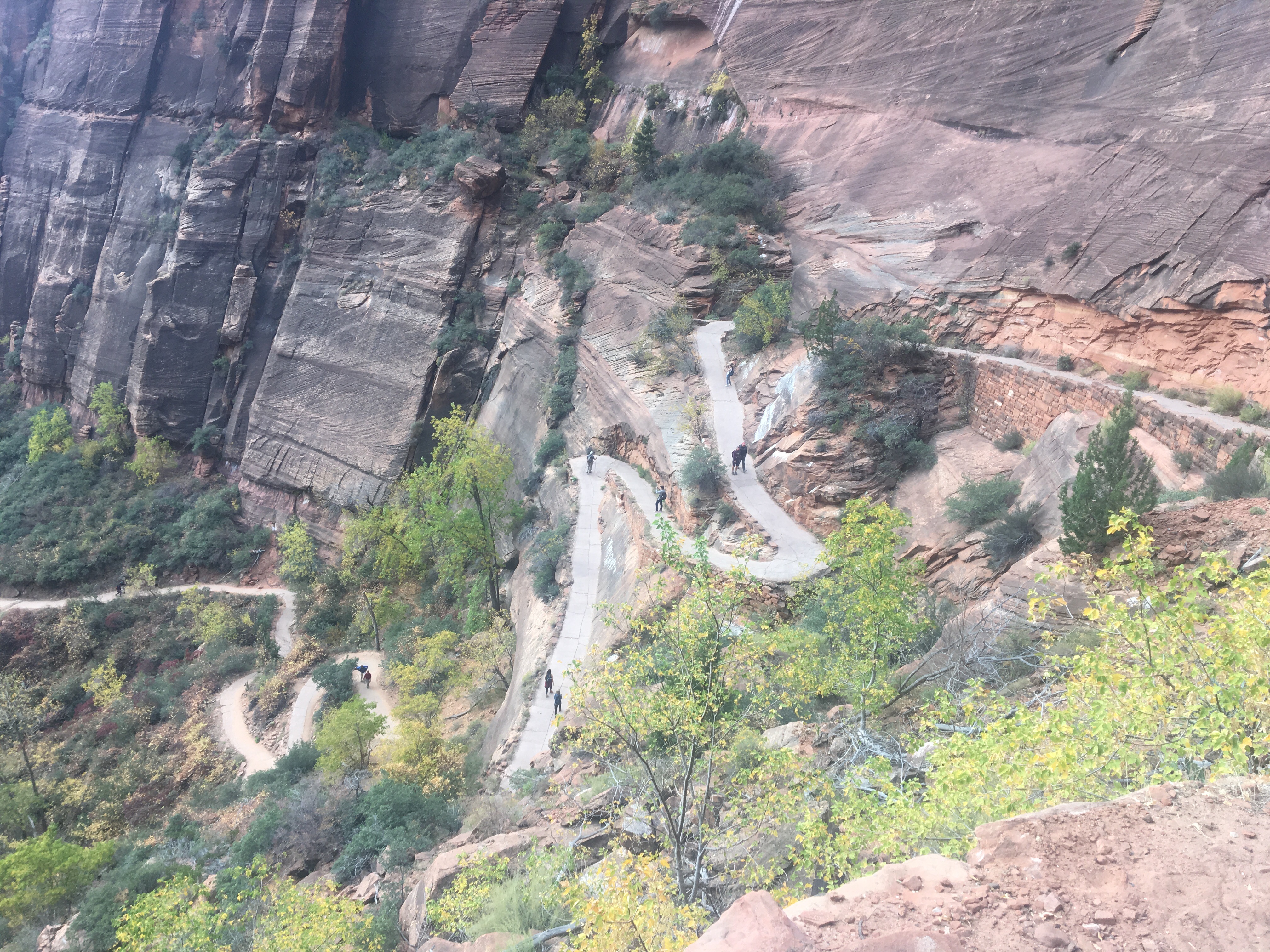
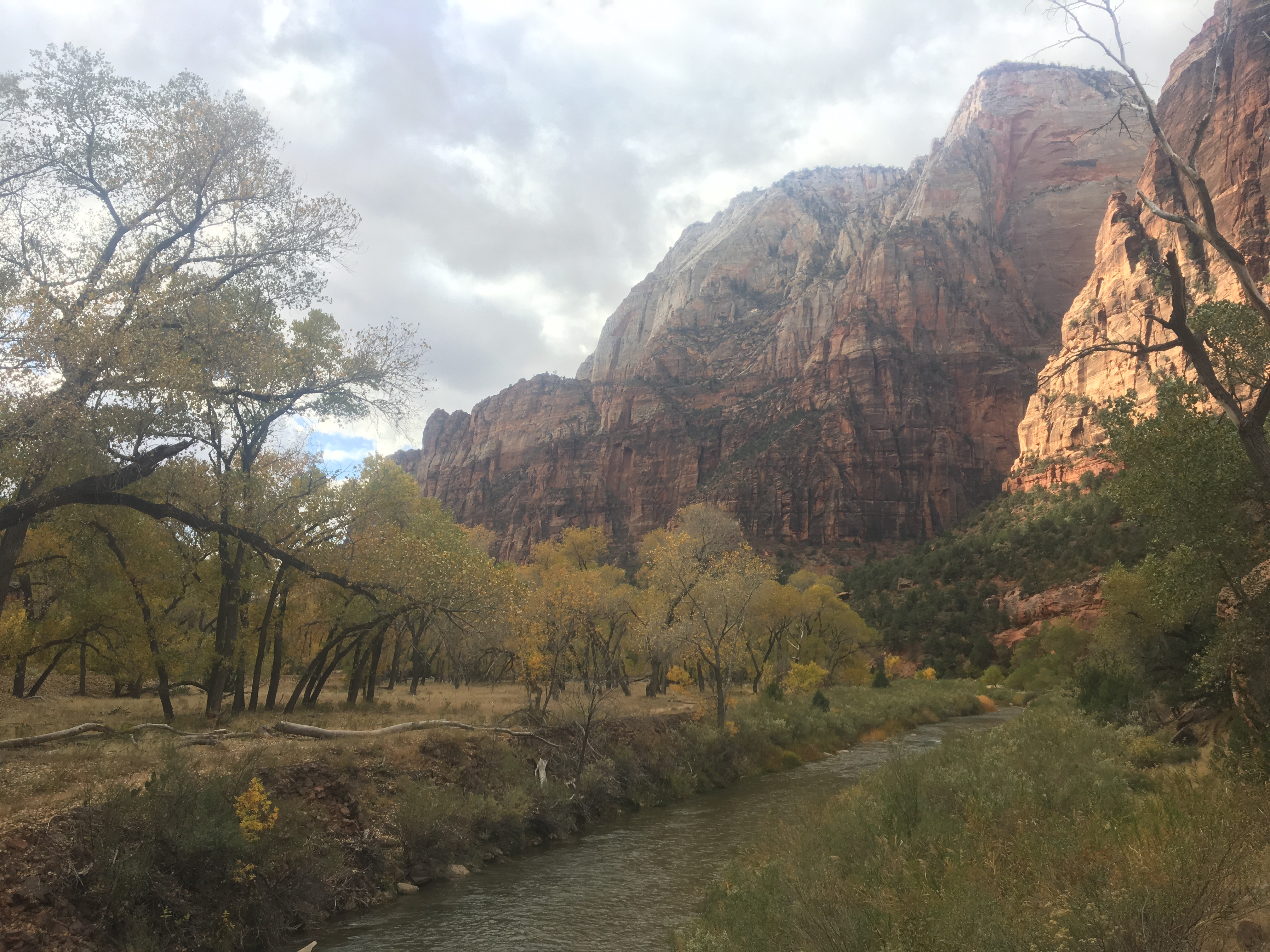
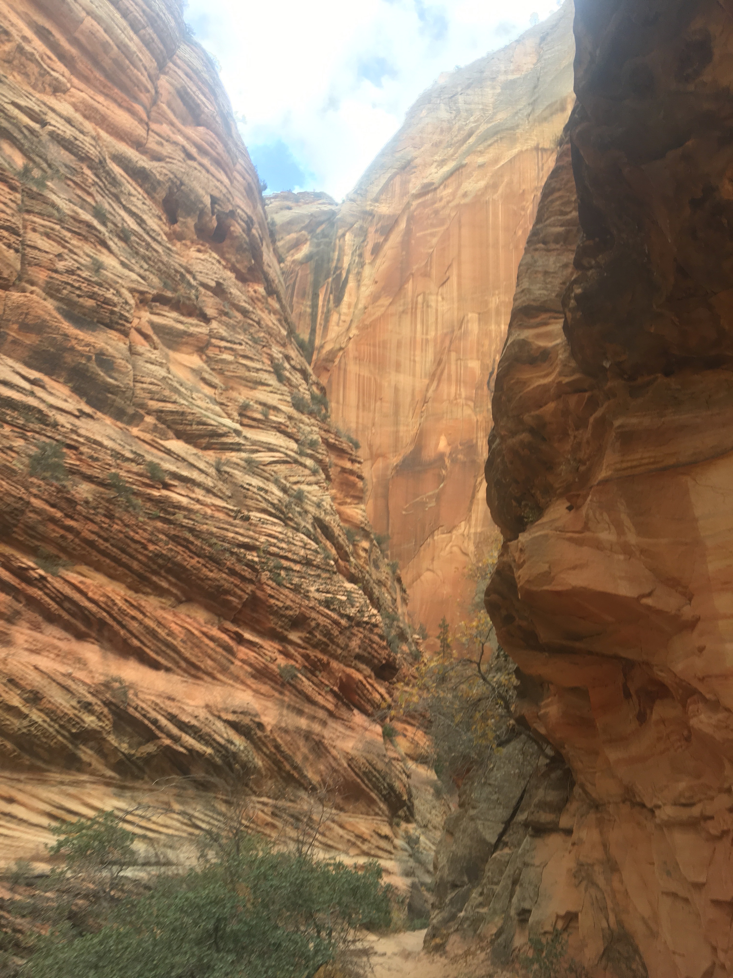
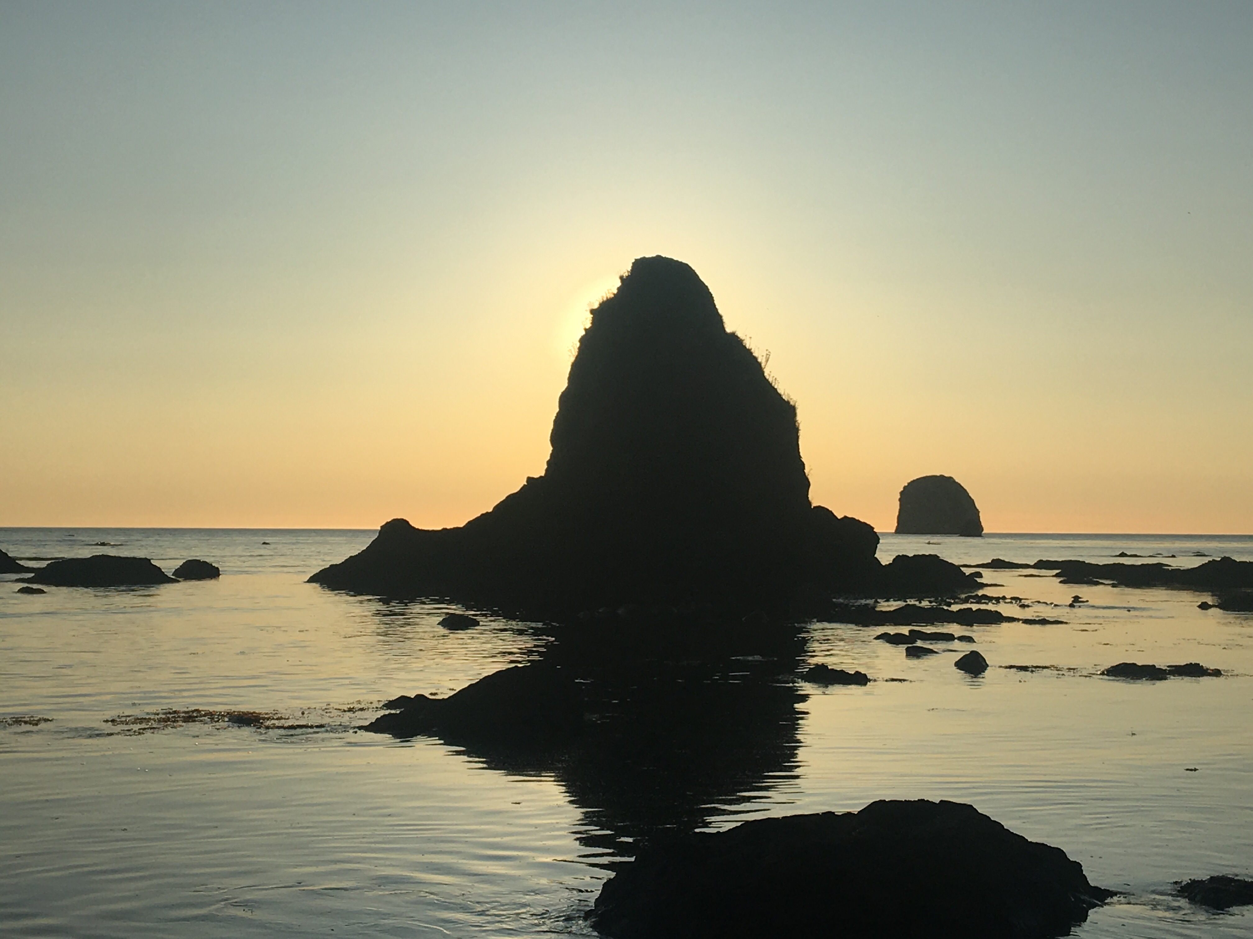
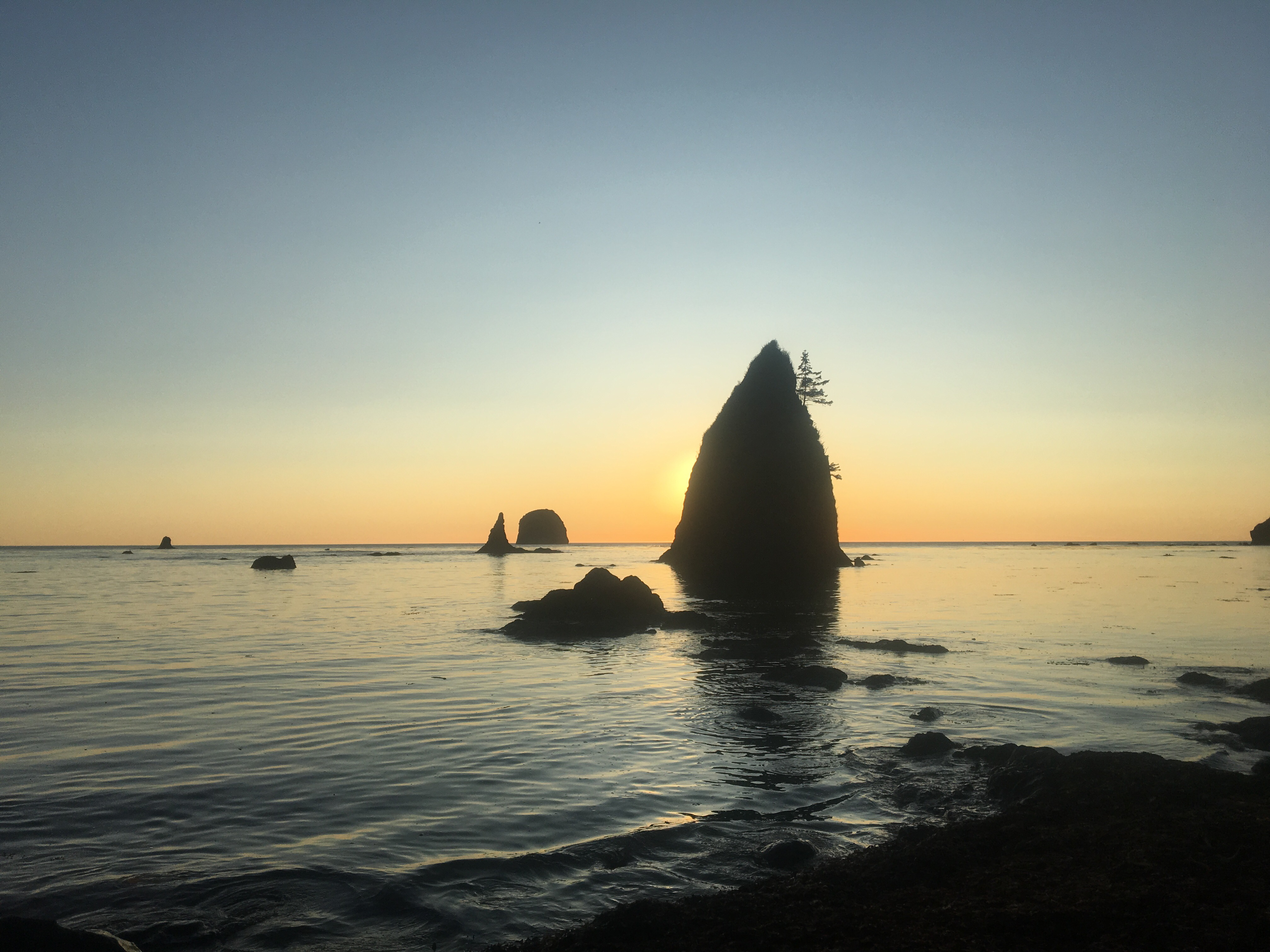
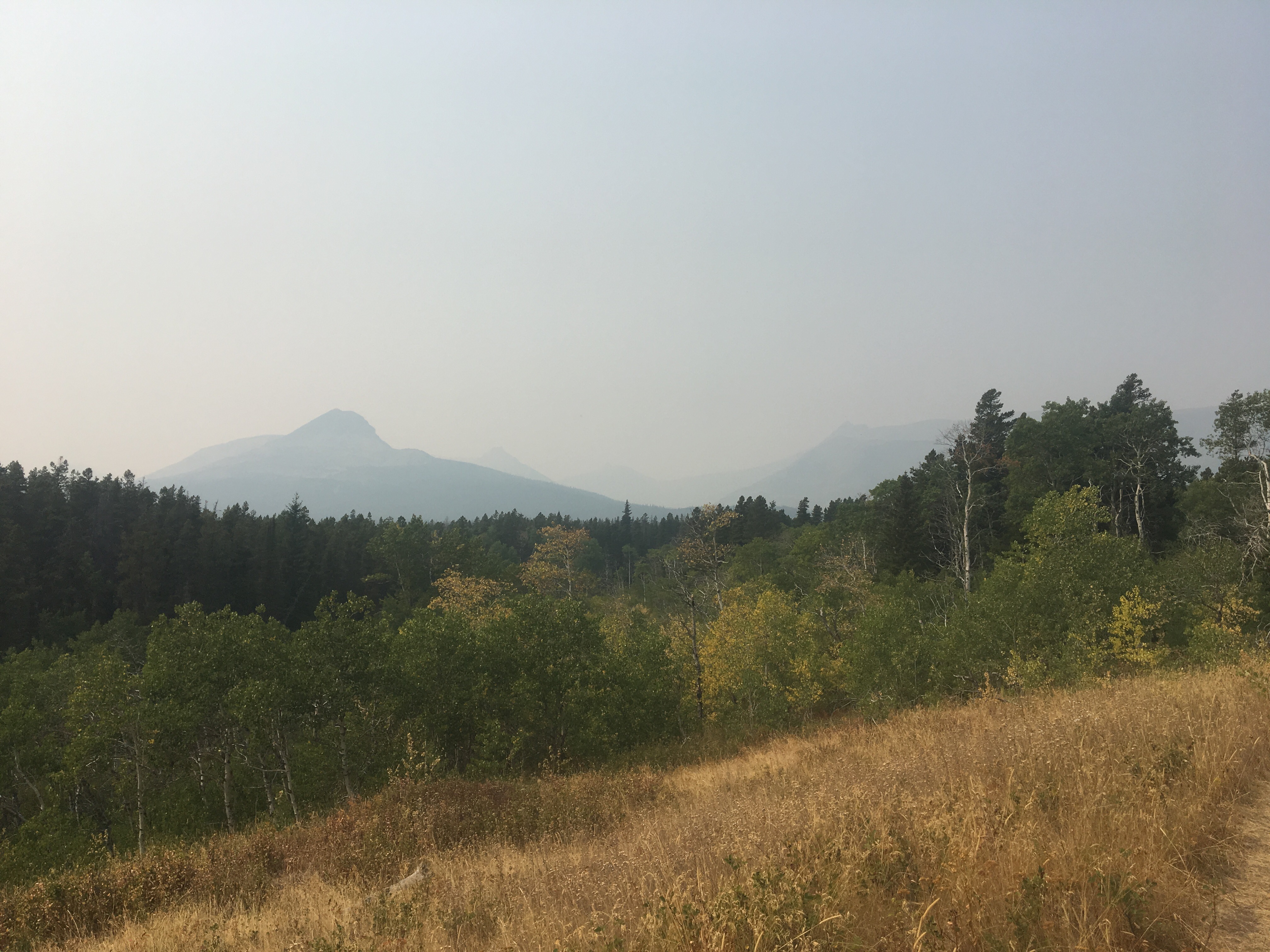
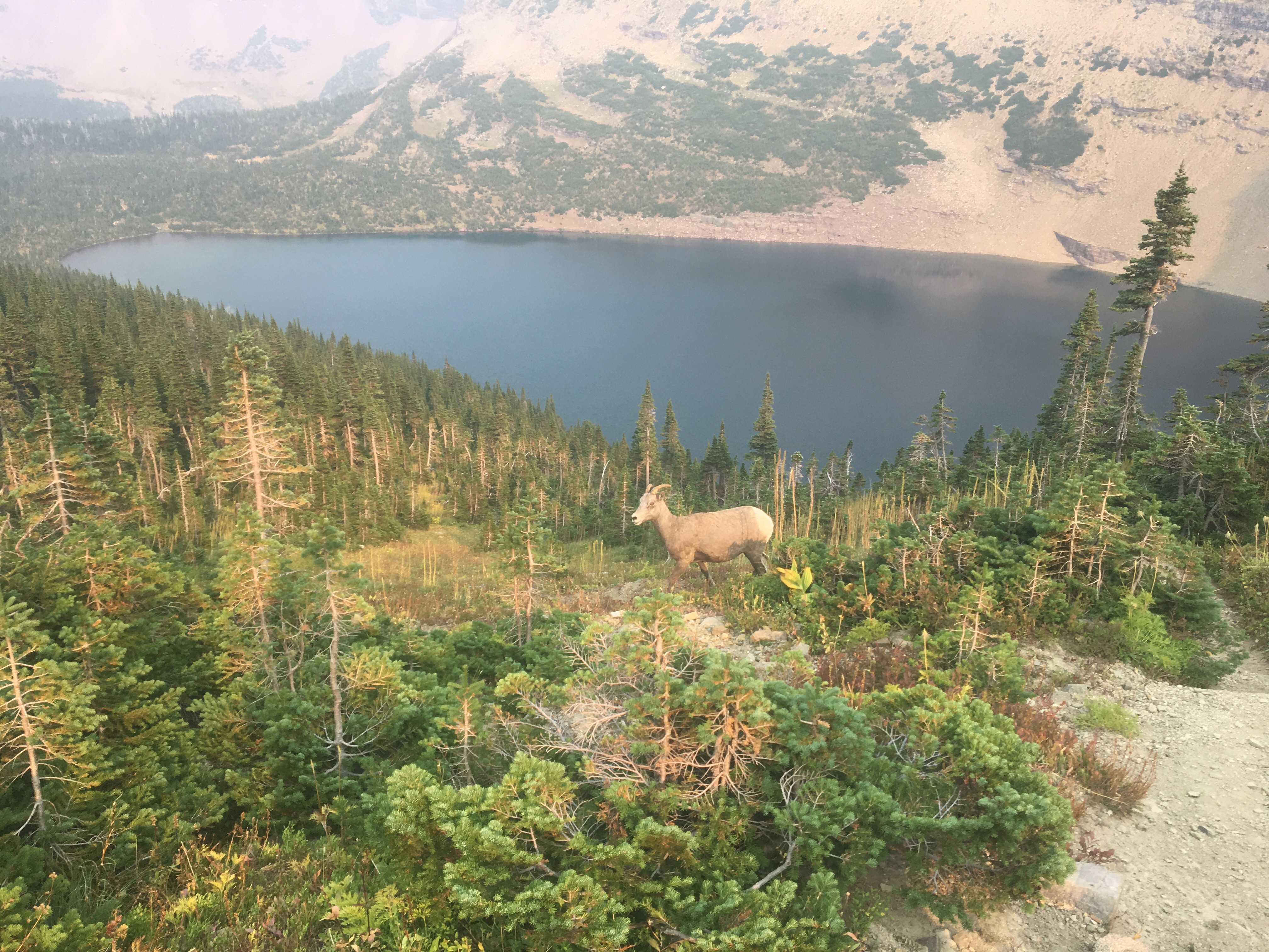
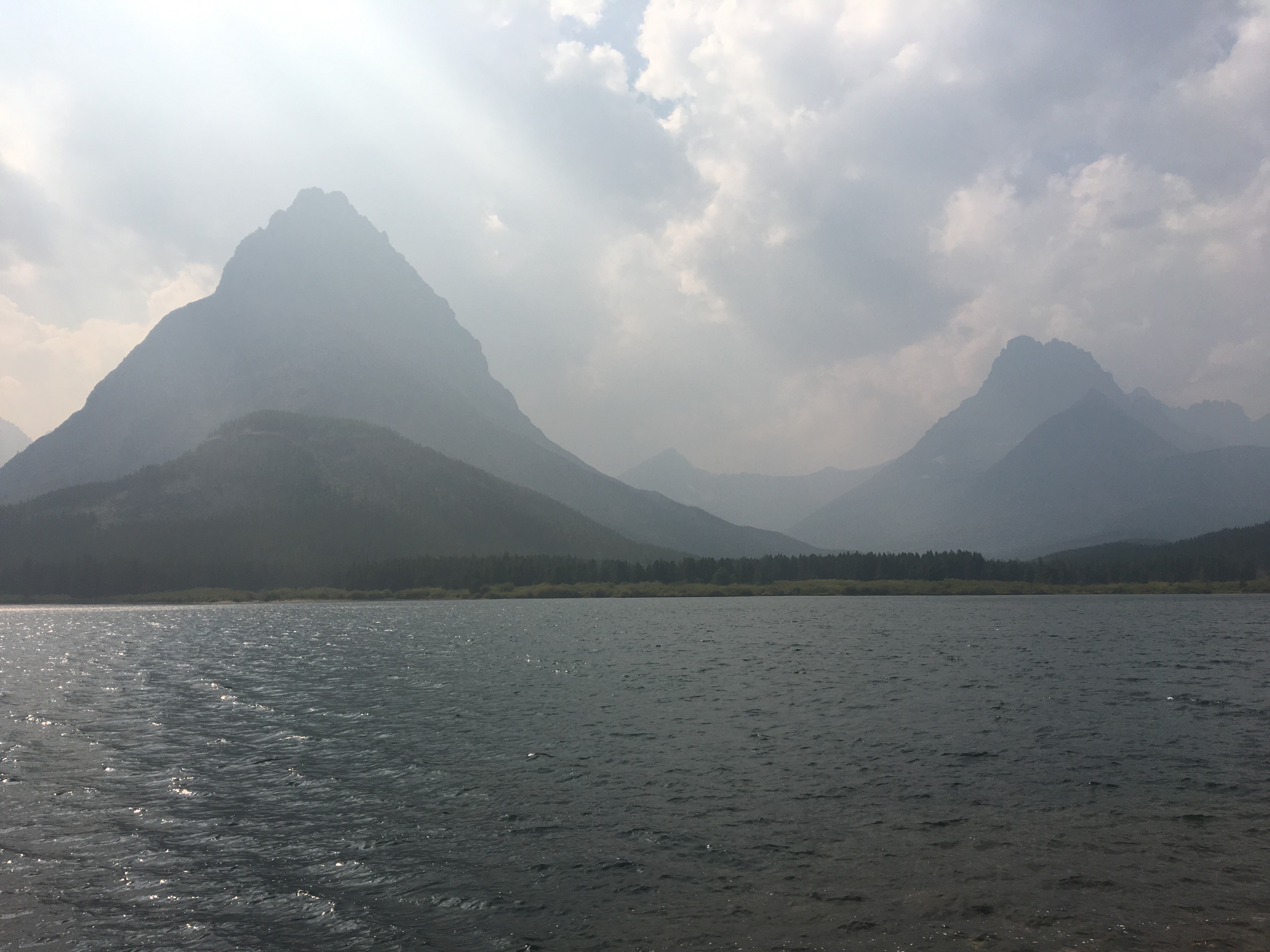
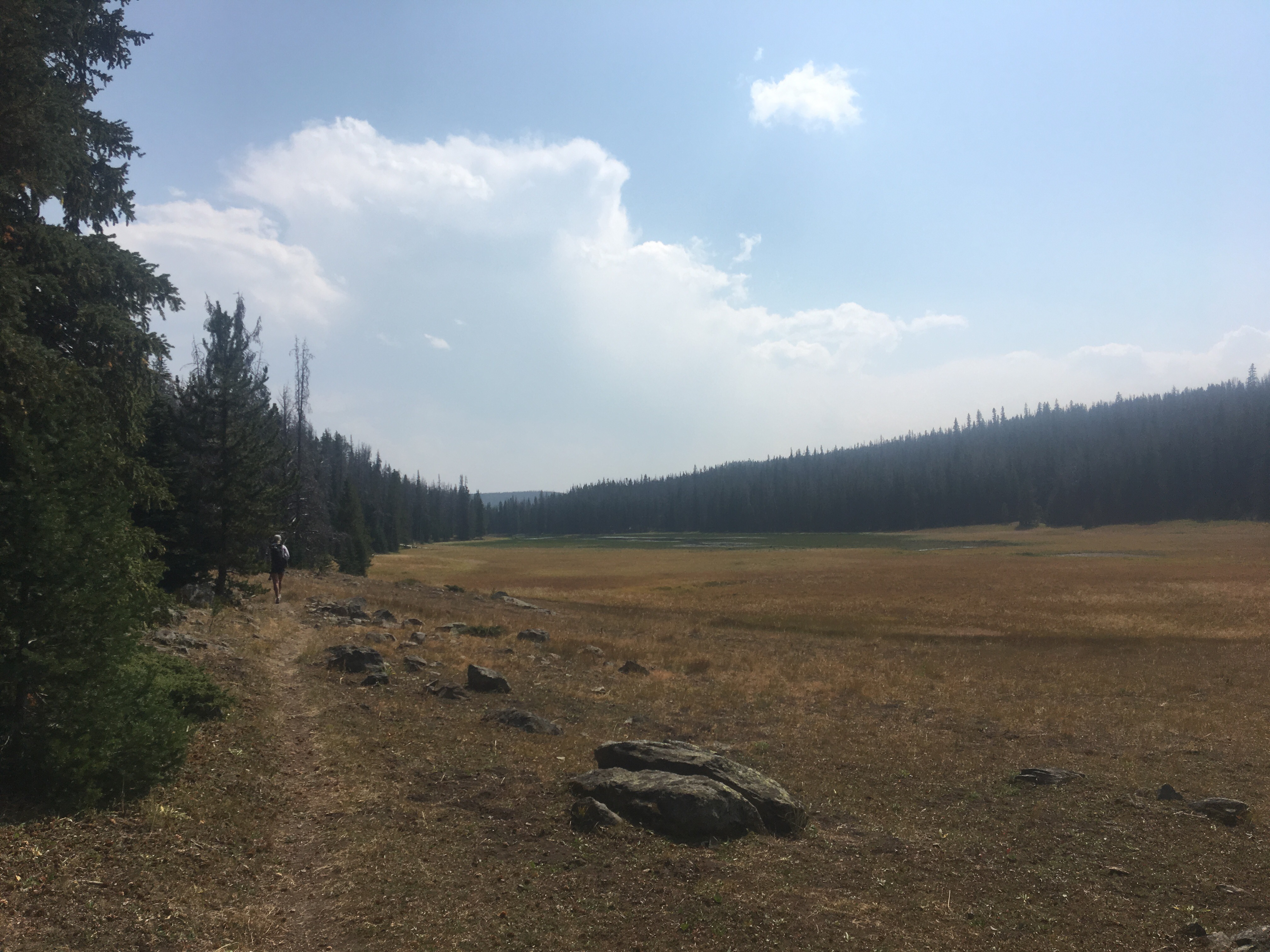
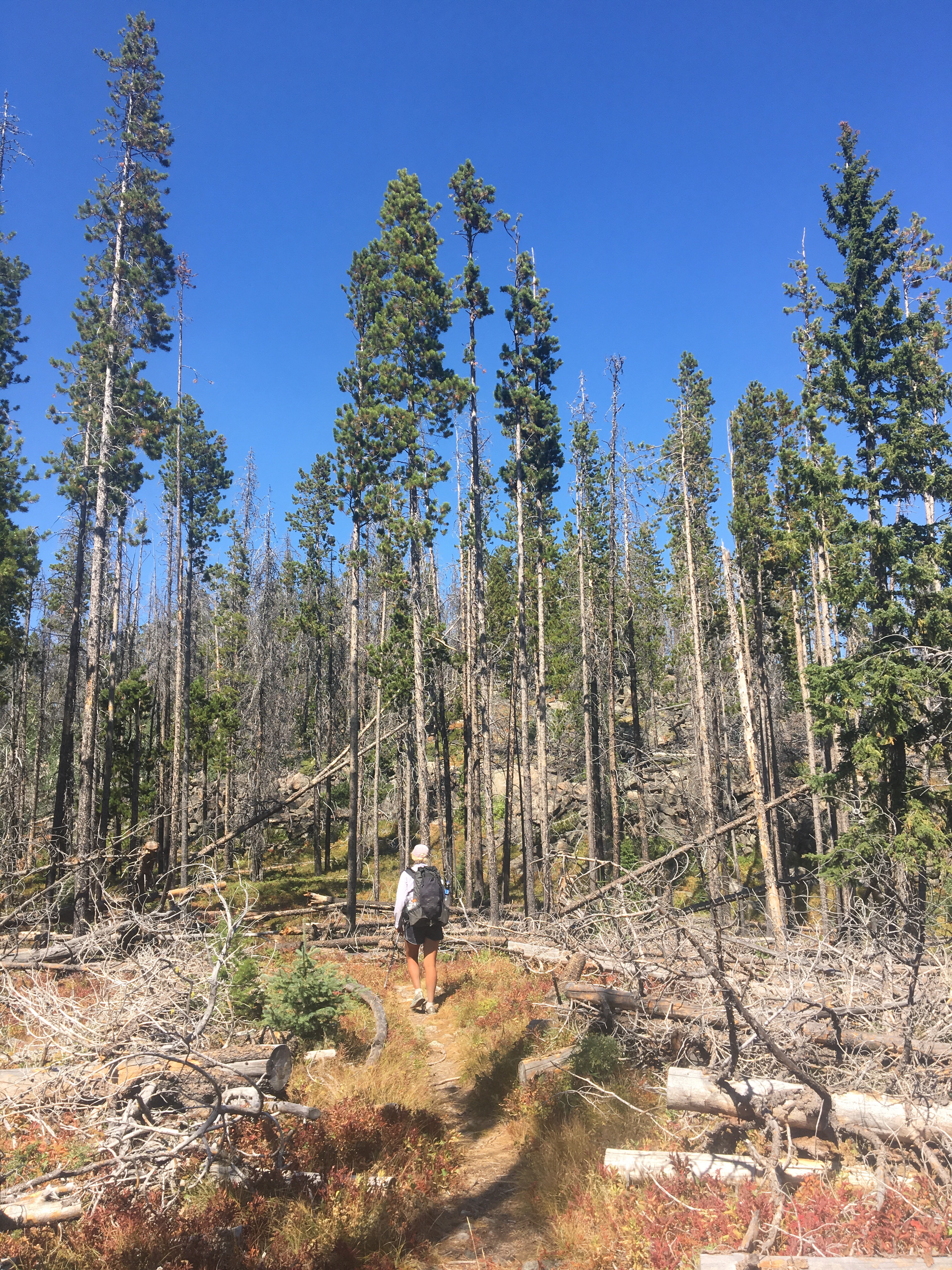
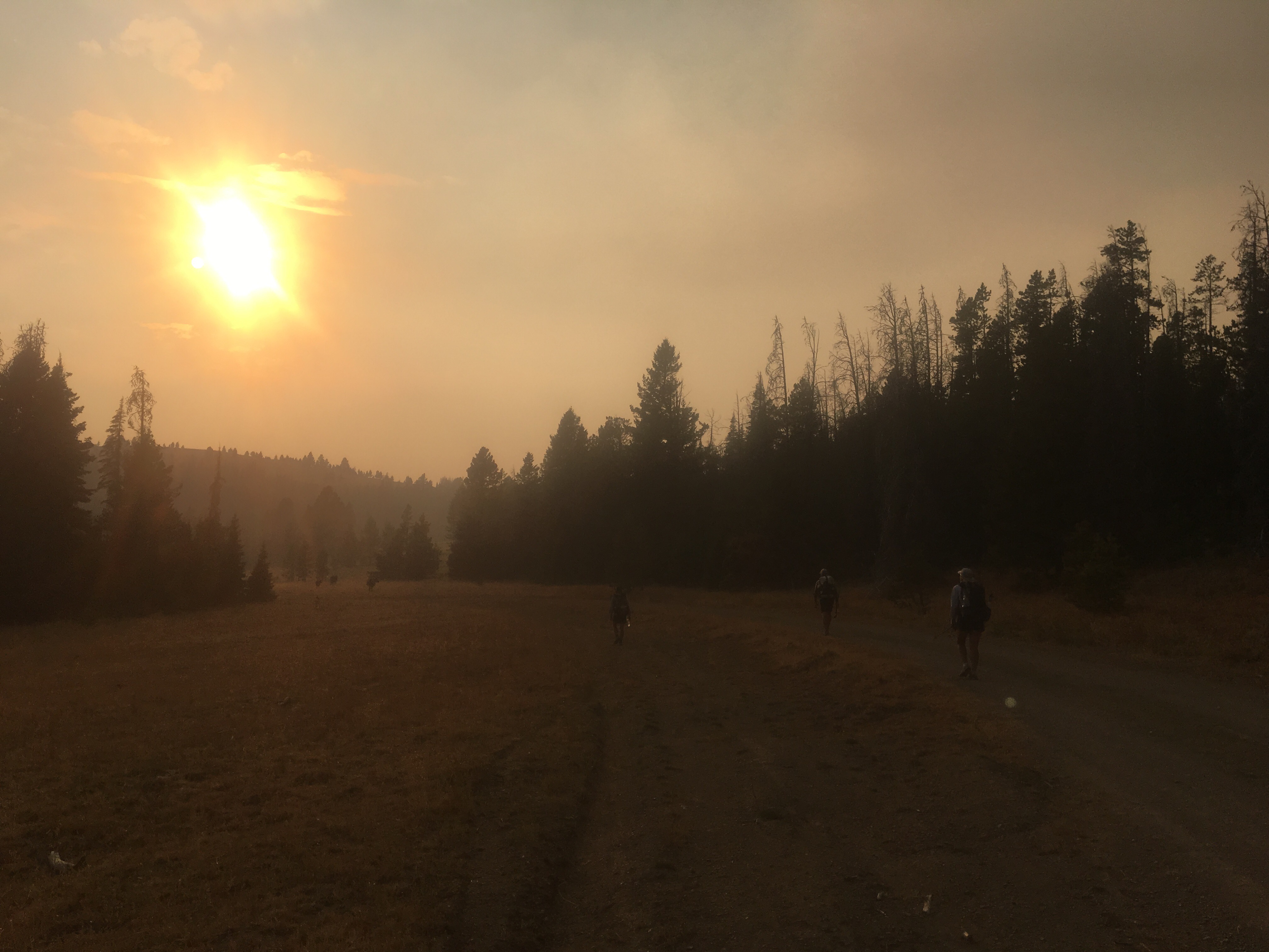
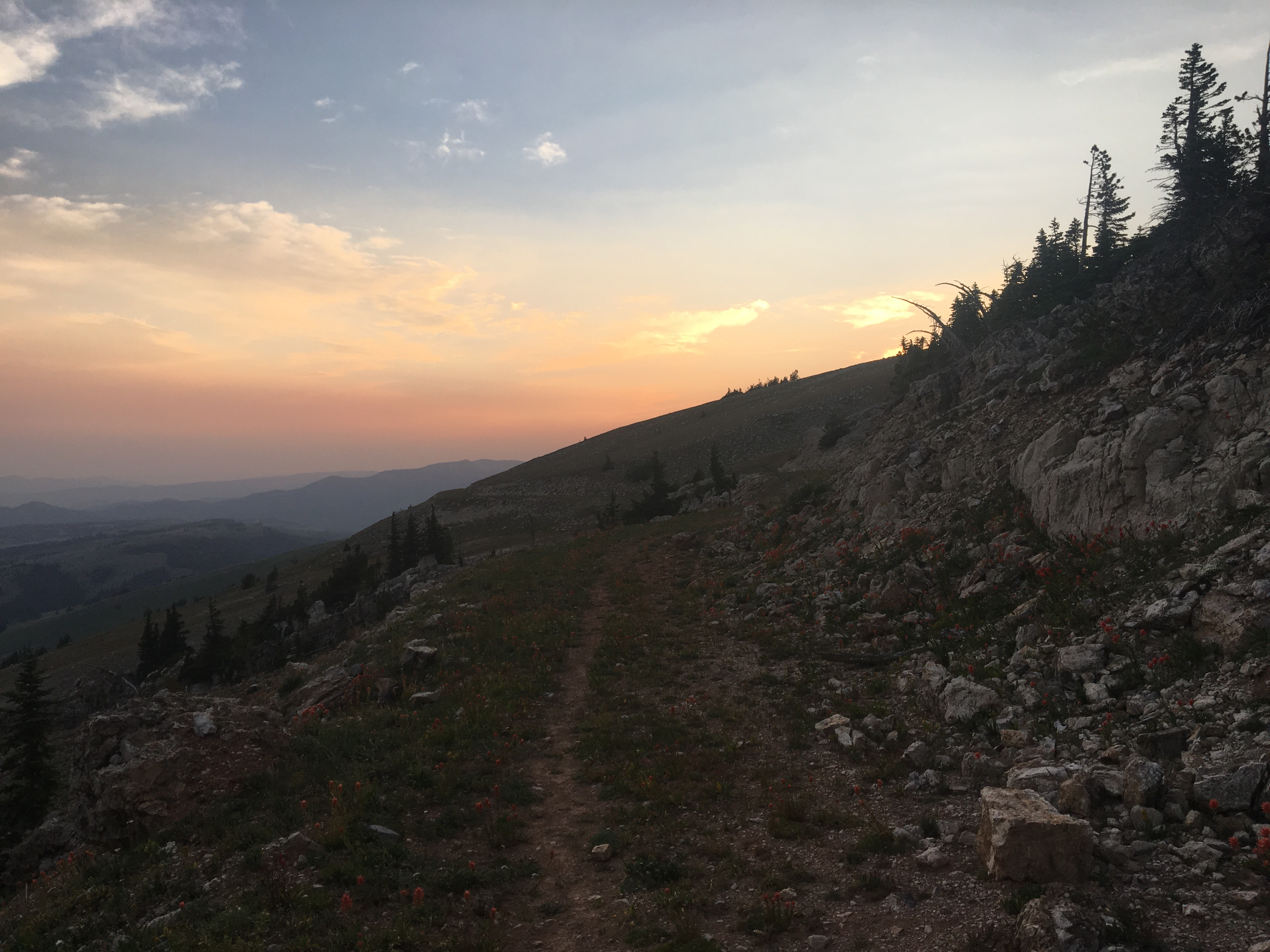
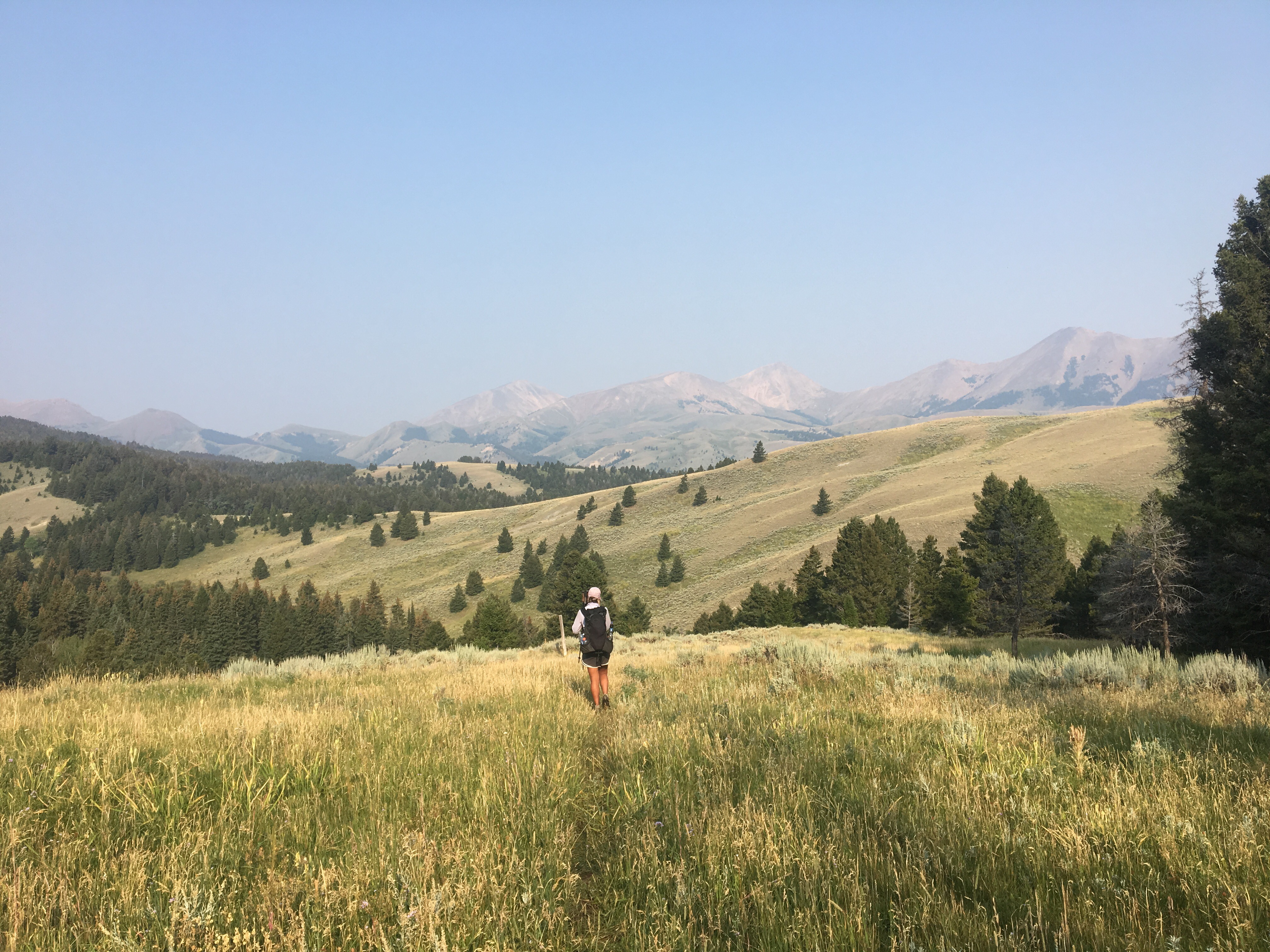
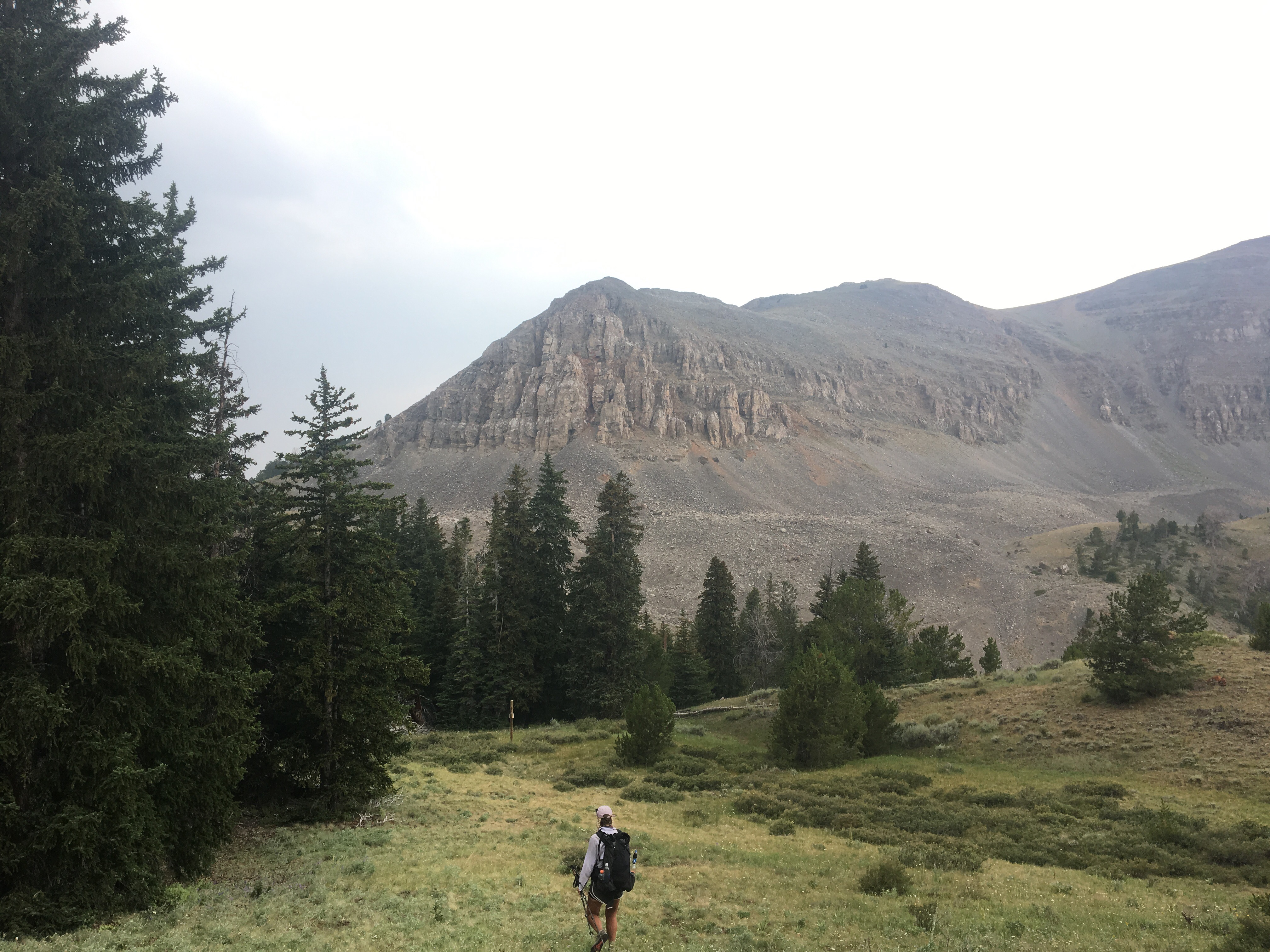
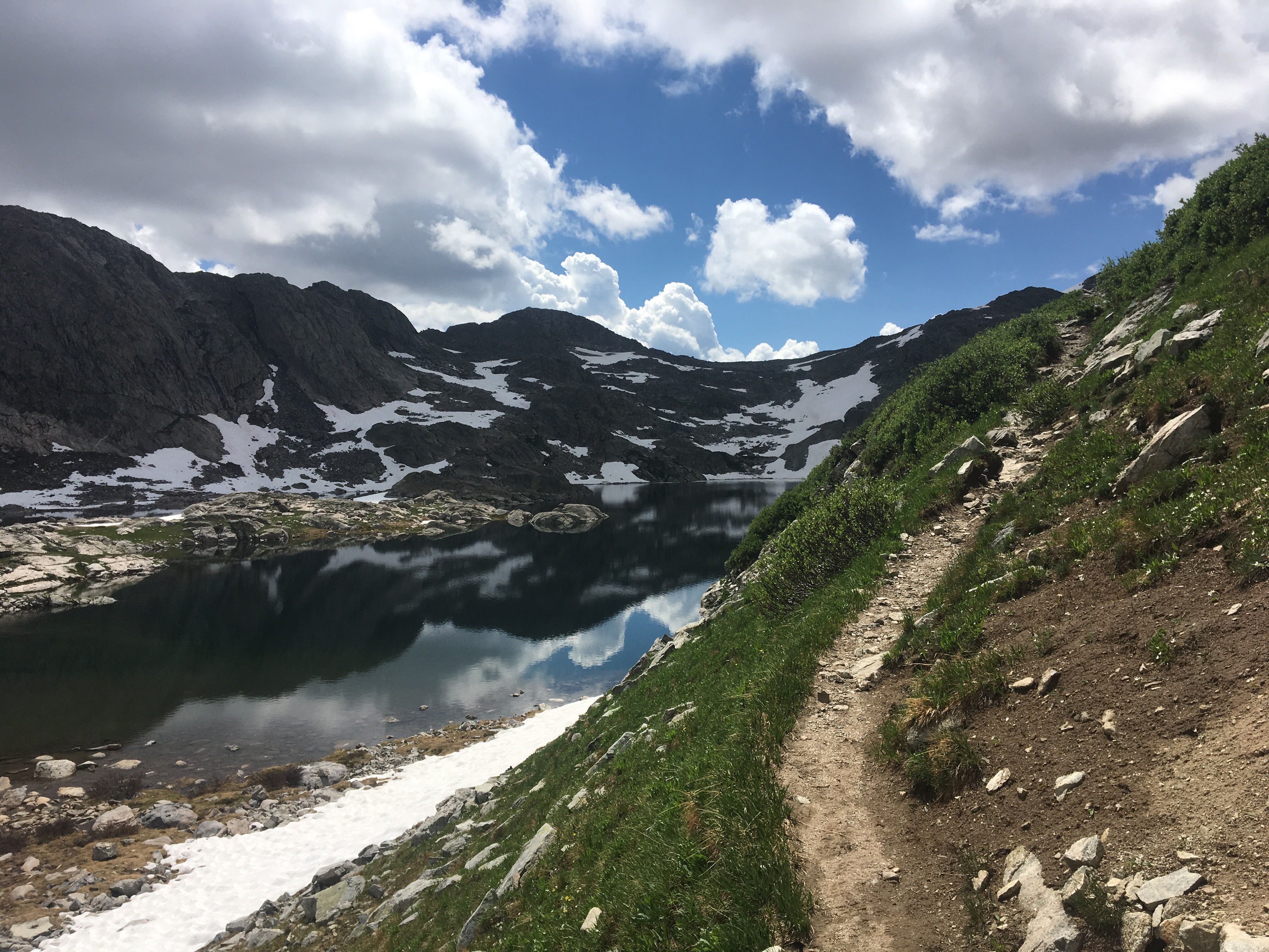
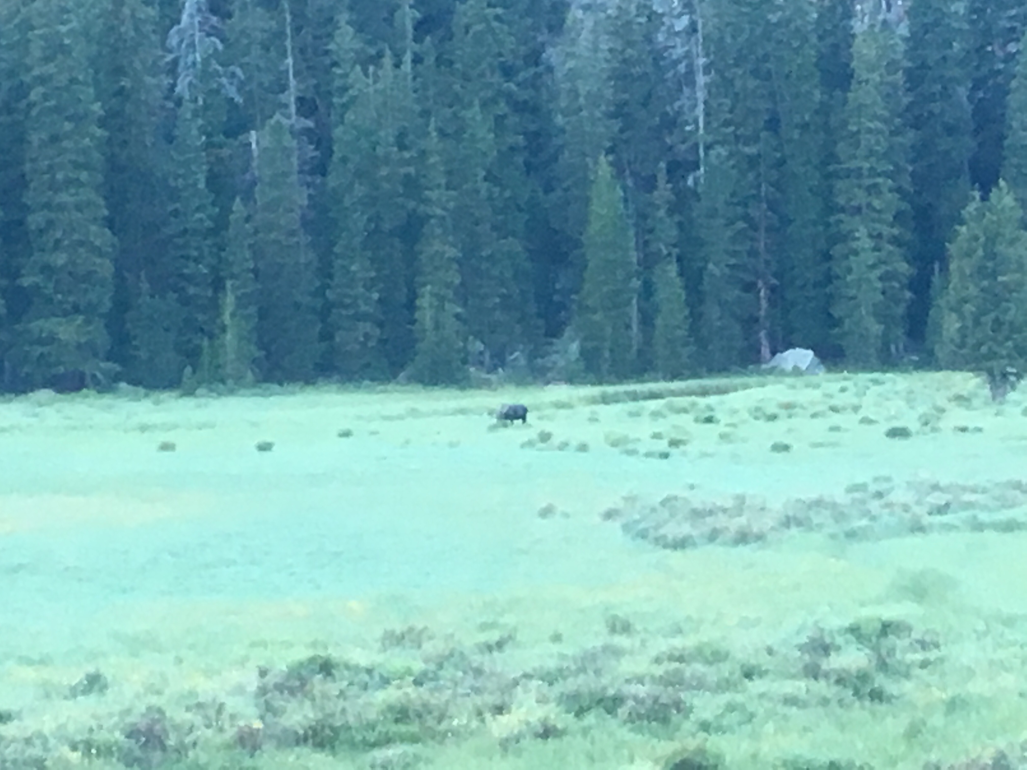
Right away this morning QB and I devoured a huge breakfast at the Two Medicine Grill; omelettes, pancakes, hash browns, even a slice of pie. After breakfast we got back on trail and into Glacier NP starting with a nice stiff climb up to Scenic Point. For a while we walked with Recalculating, who unlike most thru hikers has a wife and 4 young kids at home, pretty awesome situation but not the norm out here. Glacier has been incredible so far, even with a blanket of smoke from the wildfires hanging in the air. I’d love to see this place on clear bluebird days so that’s why I’ll definitely have to come back. The smoke however, puts a whole new paint job on things and makes the mountains and the lakes look really cool. I’ll let the pictures below speak for themselves. Plus I saw a bunch of animals, a moose laying around in the grass and probably about 25 bighorn sheep including a little baby. We’re camping at the Atlantic Creek site and also camping here tonight are Garbelly and Critter who we’ve been keeping in touch with but haven’t seen since Winter Park.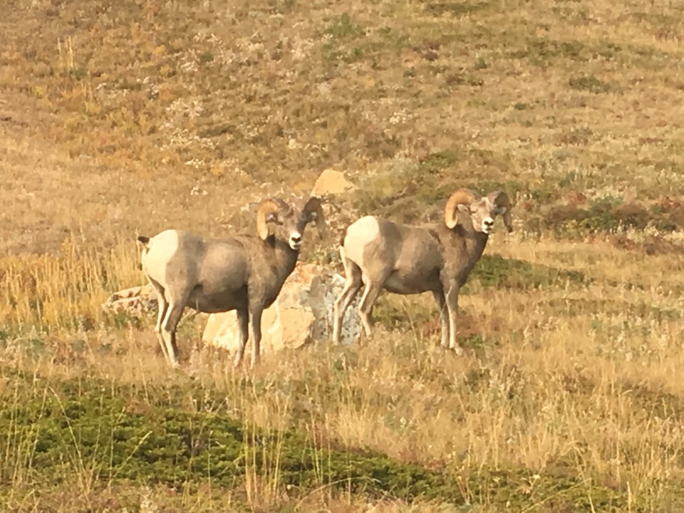 A couple of bros just chilling out
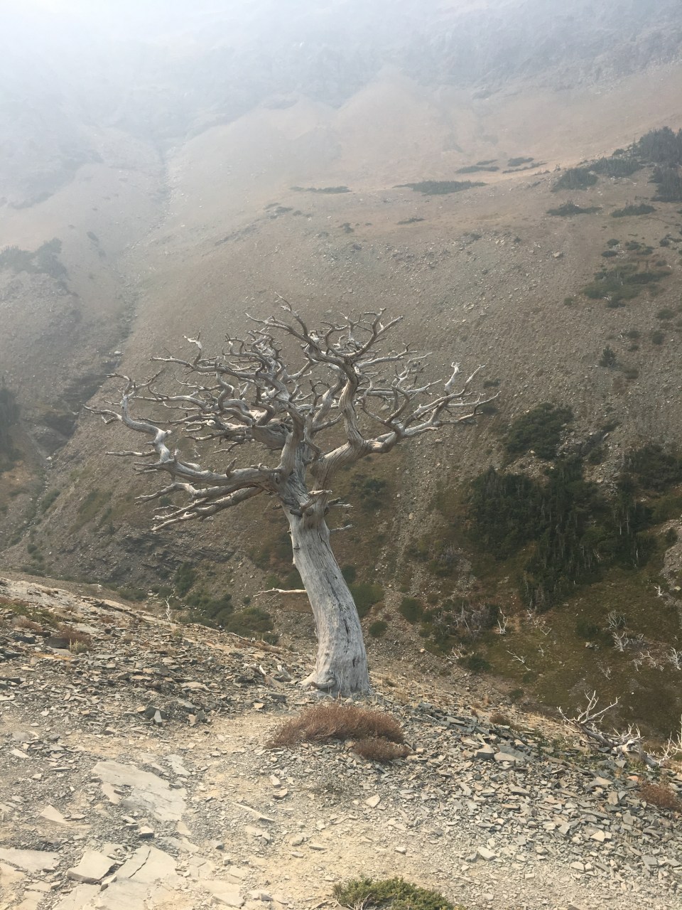


Day 132 9/8 25 miles
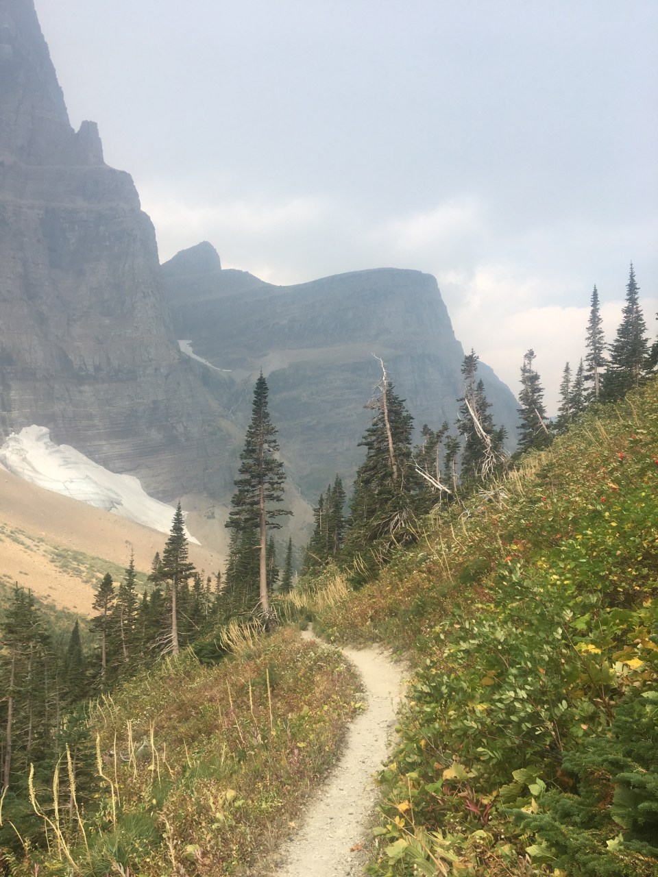
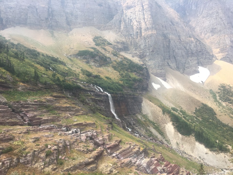
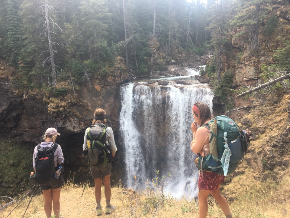
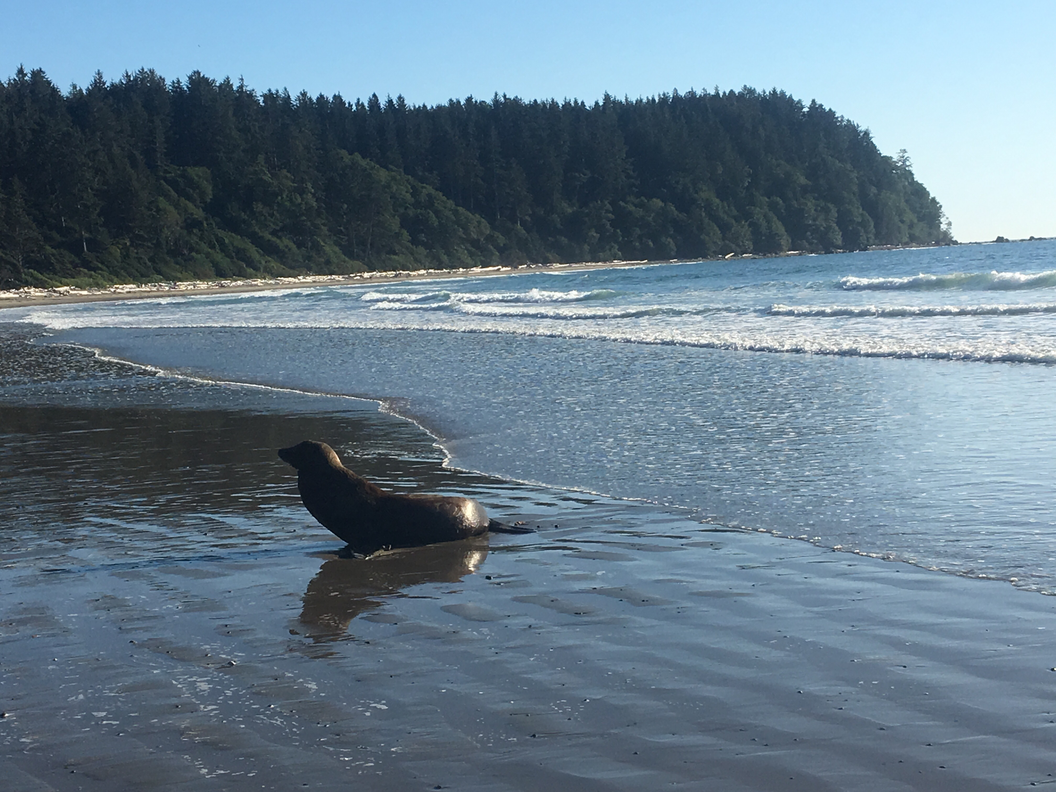
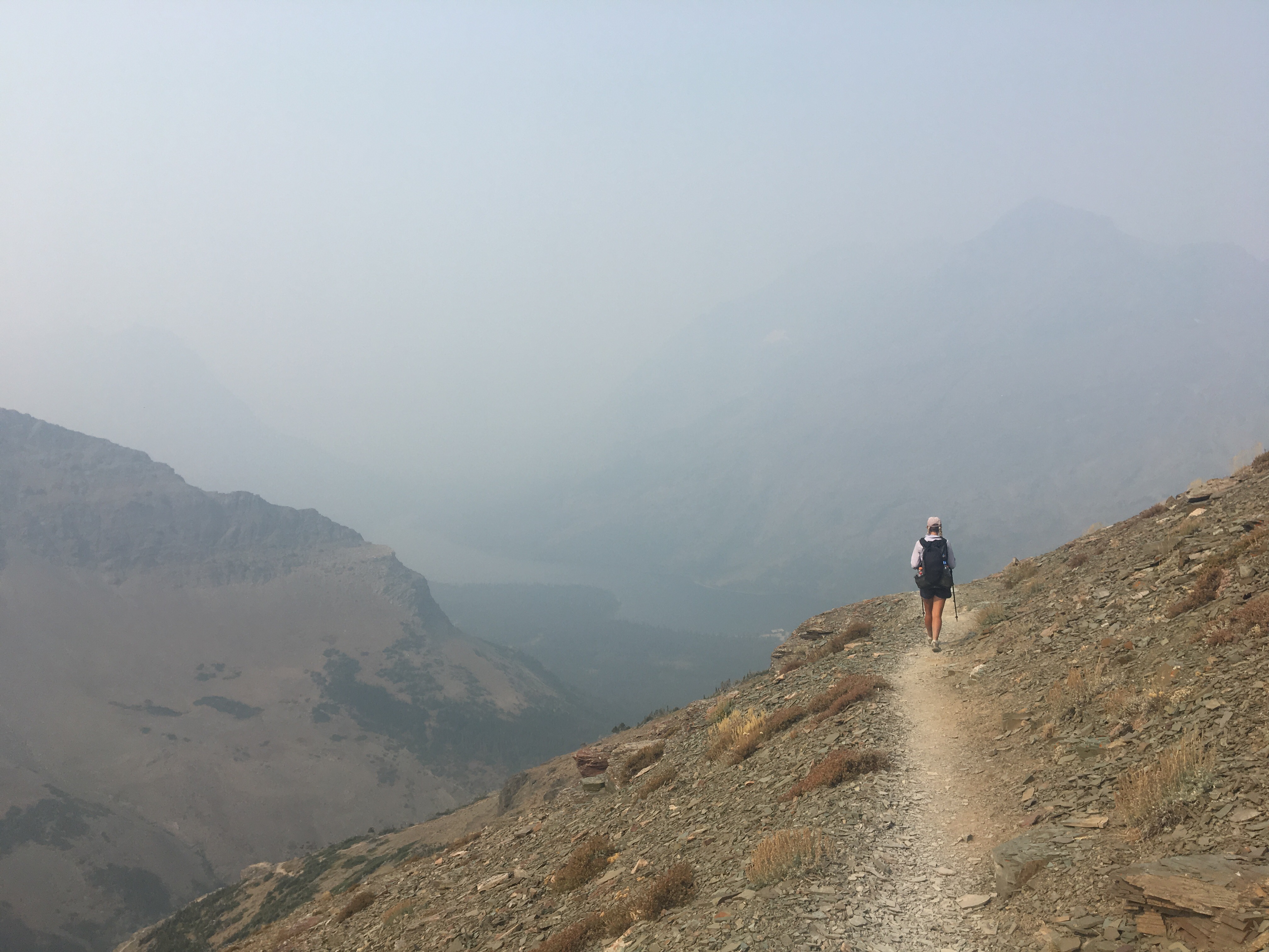
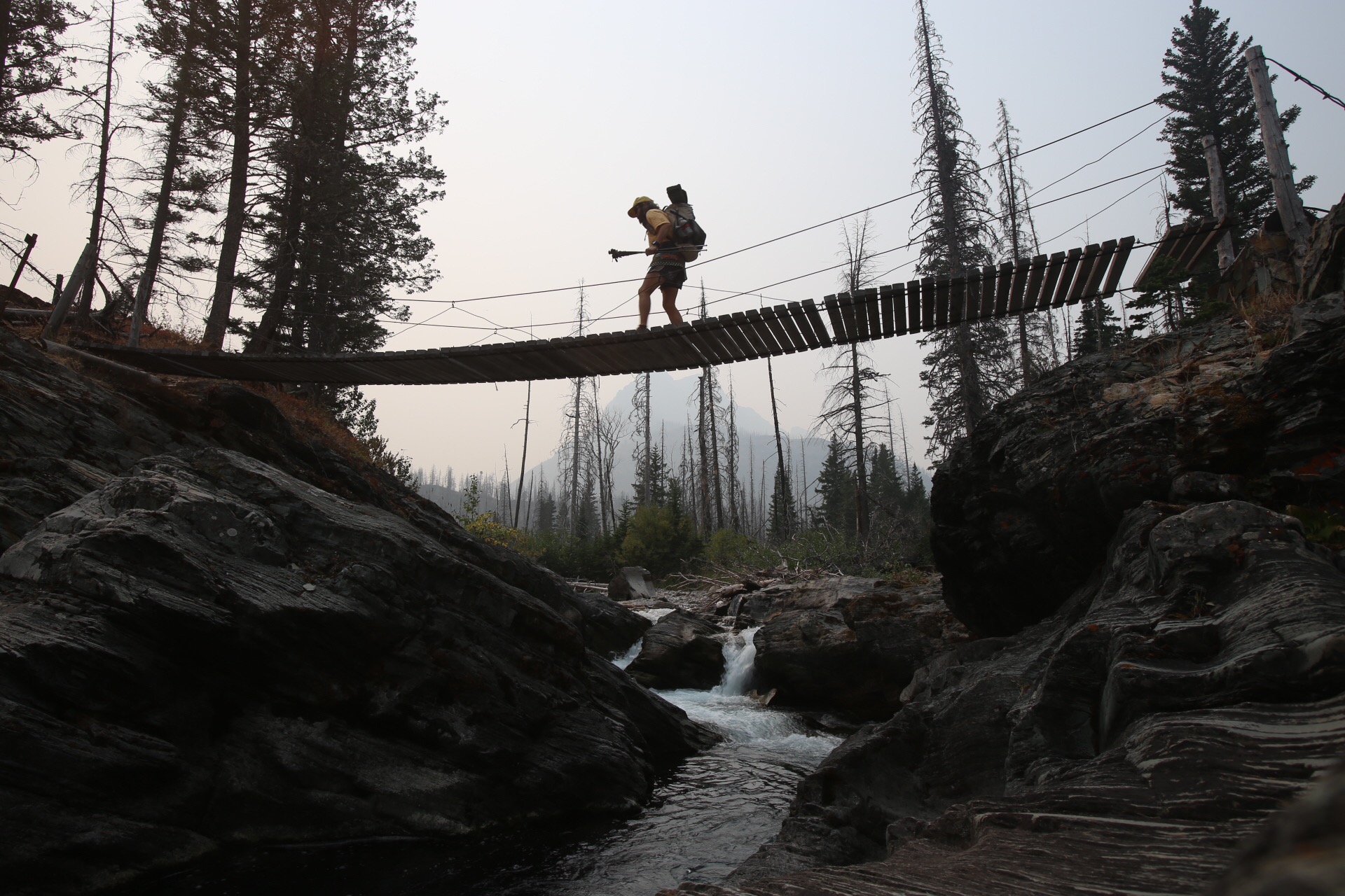
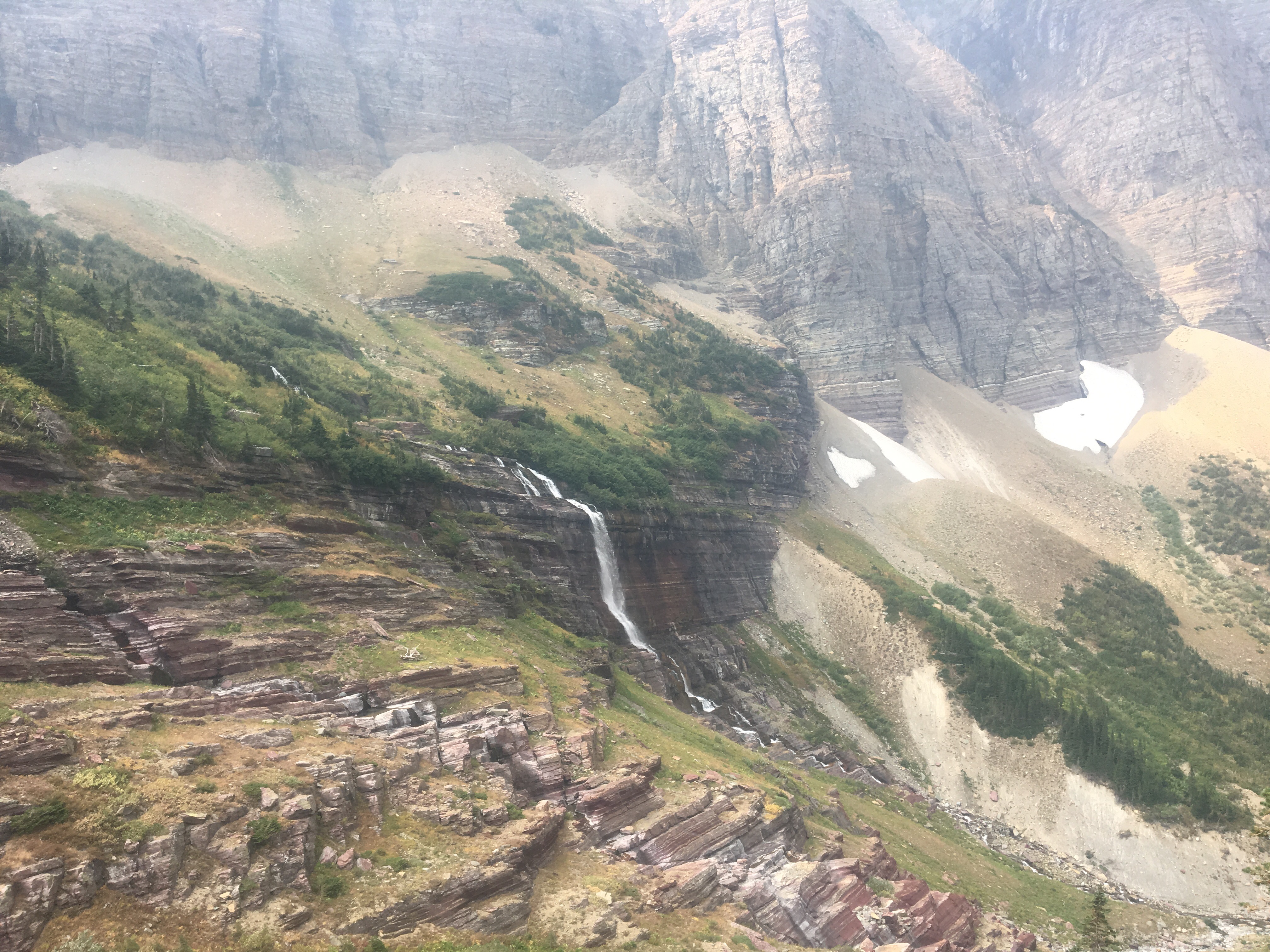
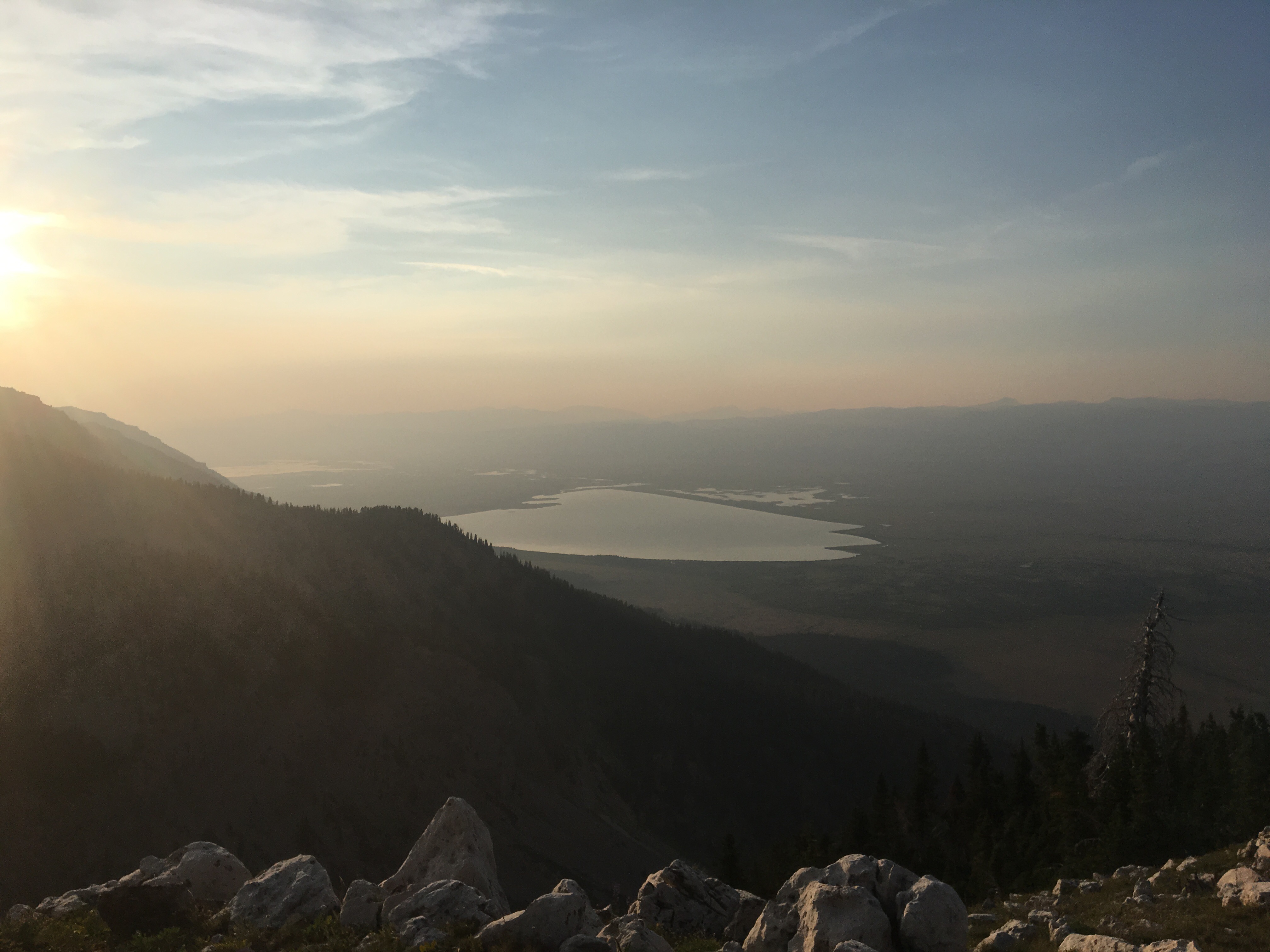
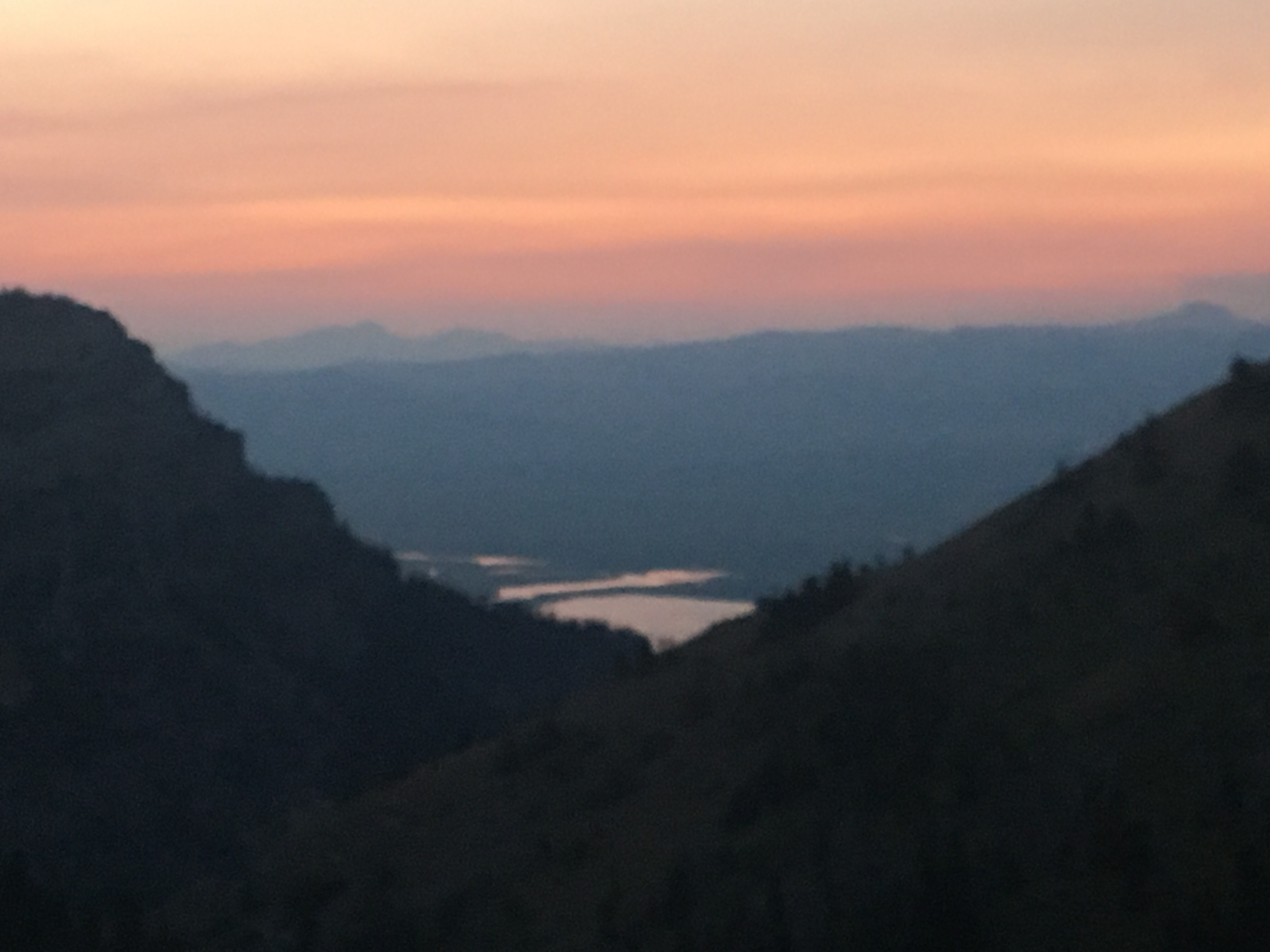
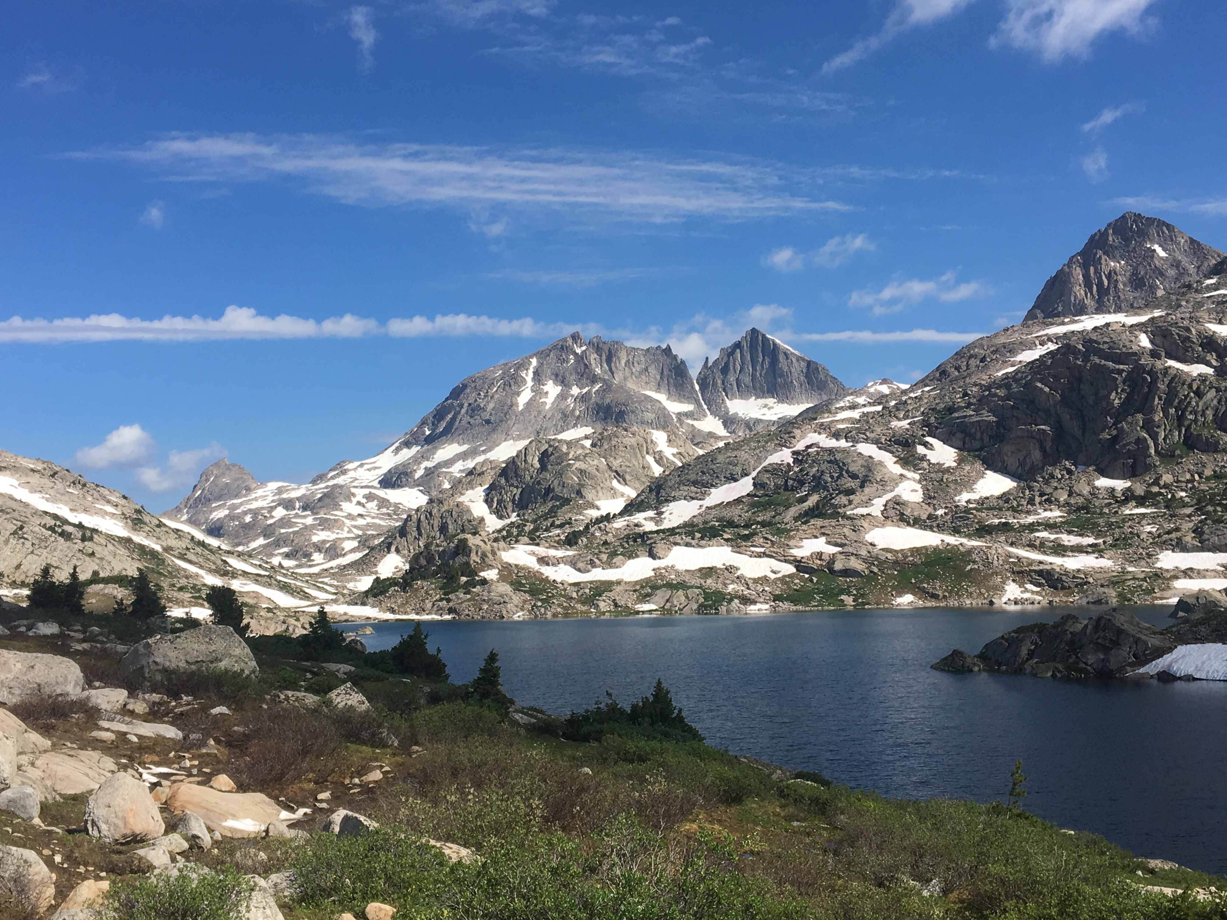
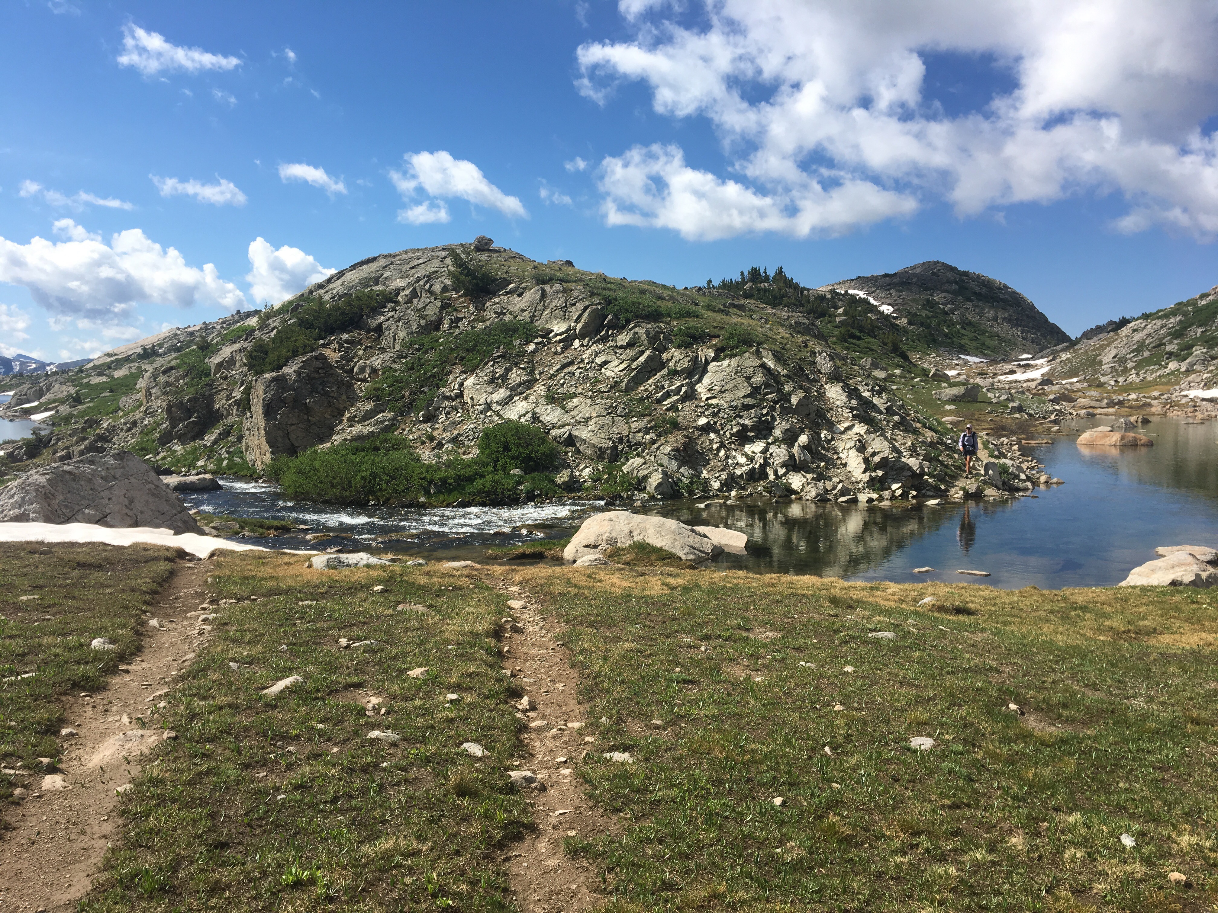
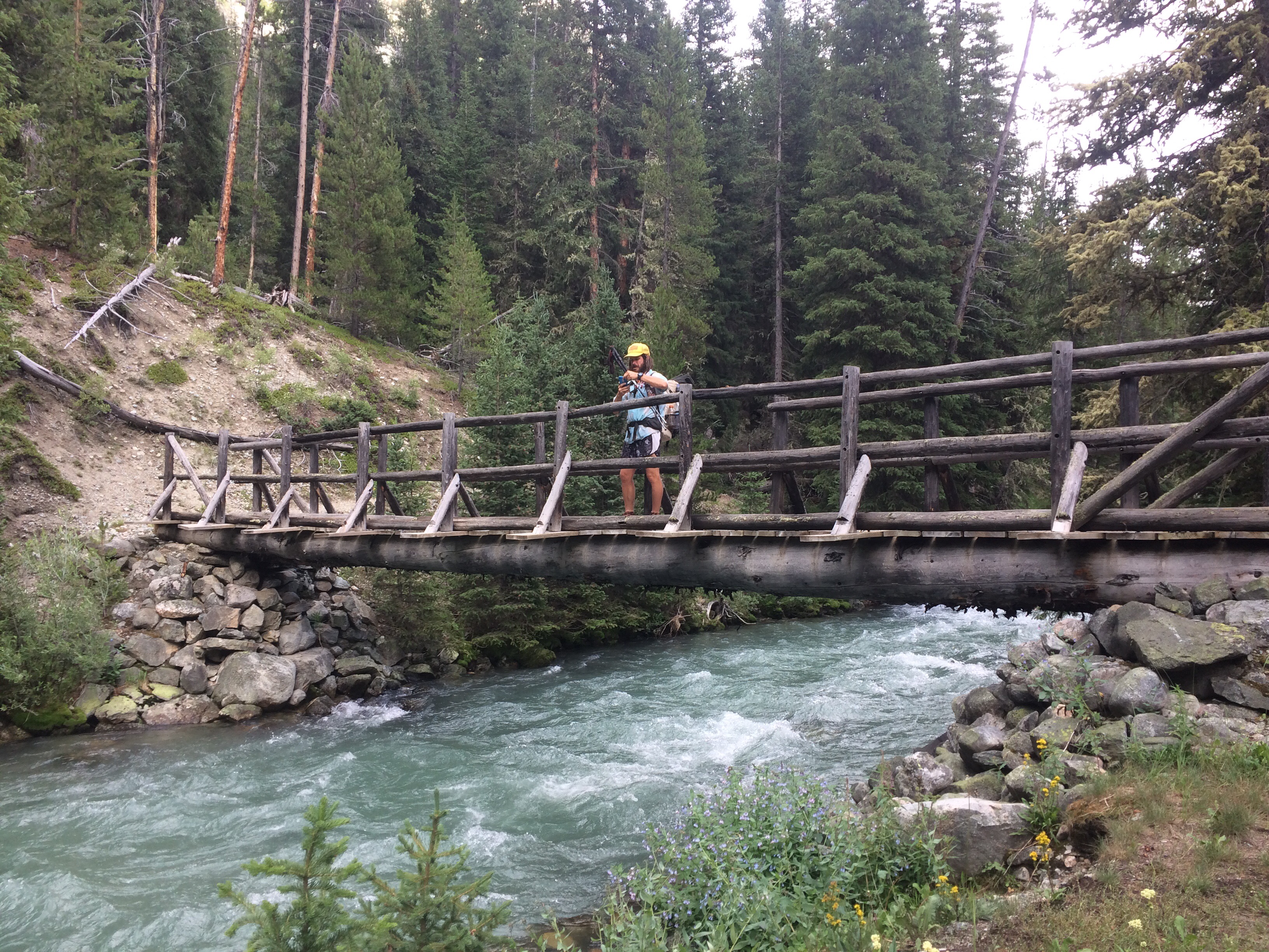
Today was the day! We hiked with Critter and Garbelly for most of the day and started off with a steep climb up to Triple Divide Pass. Although smoky, this was one of the most incredible passes I’ve ever been up and over. There’s three sides to Triple Divide Peak (just to the West of where we crossed); any water that lands on the west flows to the Pacific, water landing on the east flows to the Atlantic and water landing on the north flows to the Arctic Ocean. So cool! While climbing up the Pass, Critter spotted a moose down in the valley from at least a half mile away, then we had a bighorn sheep directly in front of us on trail and on our way down we saw 4 mountain goats way up on the side of a steep wall. The rest of the day the trail was pretty relaxed but there was lots of water. We stopped to jump off rocks into an awesome swimming hole at Red Eagle Creek. In the afternoon we walked along Lake St Mary which was tough to get a good view of because it was super smoky but it’s obviously a spectacular sight. I got another chance to swim at the bottom of Virginia Falls then we stopped again at St Mary Falls. Because of the wildfire situation, QB and I weren’t able to get our backcountry permits so tonight we had to hitch to Rising Sun CG where we’re camping at the hiker walk-in site. Ideally we wanted to camp in the backcountry for our last couple nights on trail but it’s no big deal, I’m just glad the park is still open and I really hope it stays that way. This campground has a restaurant and we were able to get some good food, plus a couple guys that were eating there recognized that we were thru hiking and bought us dessert. 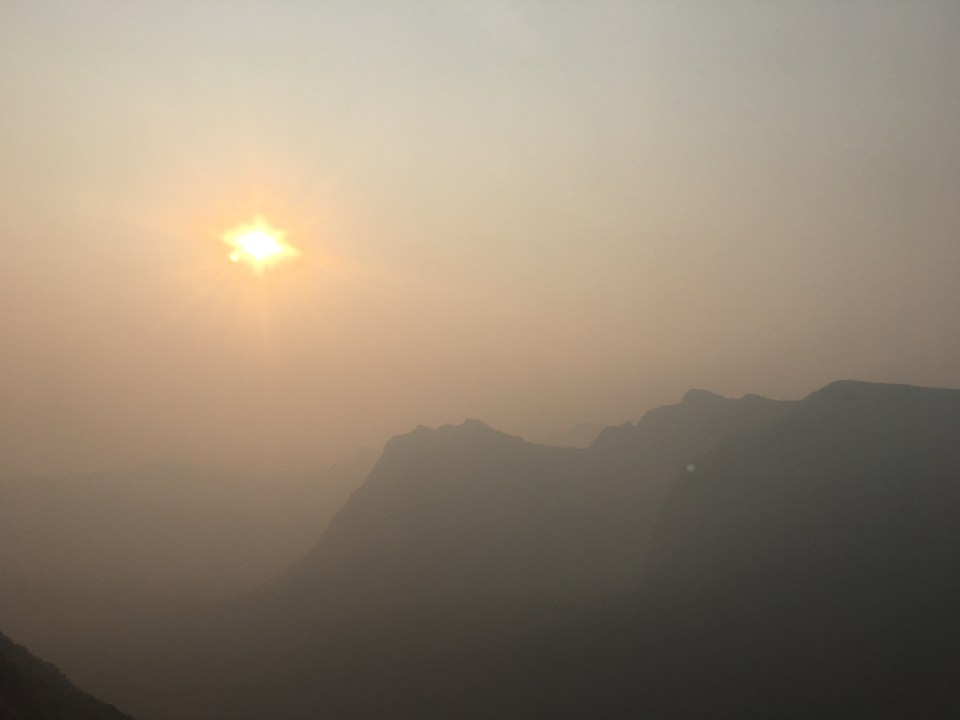
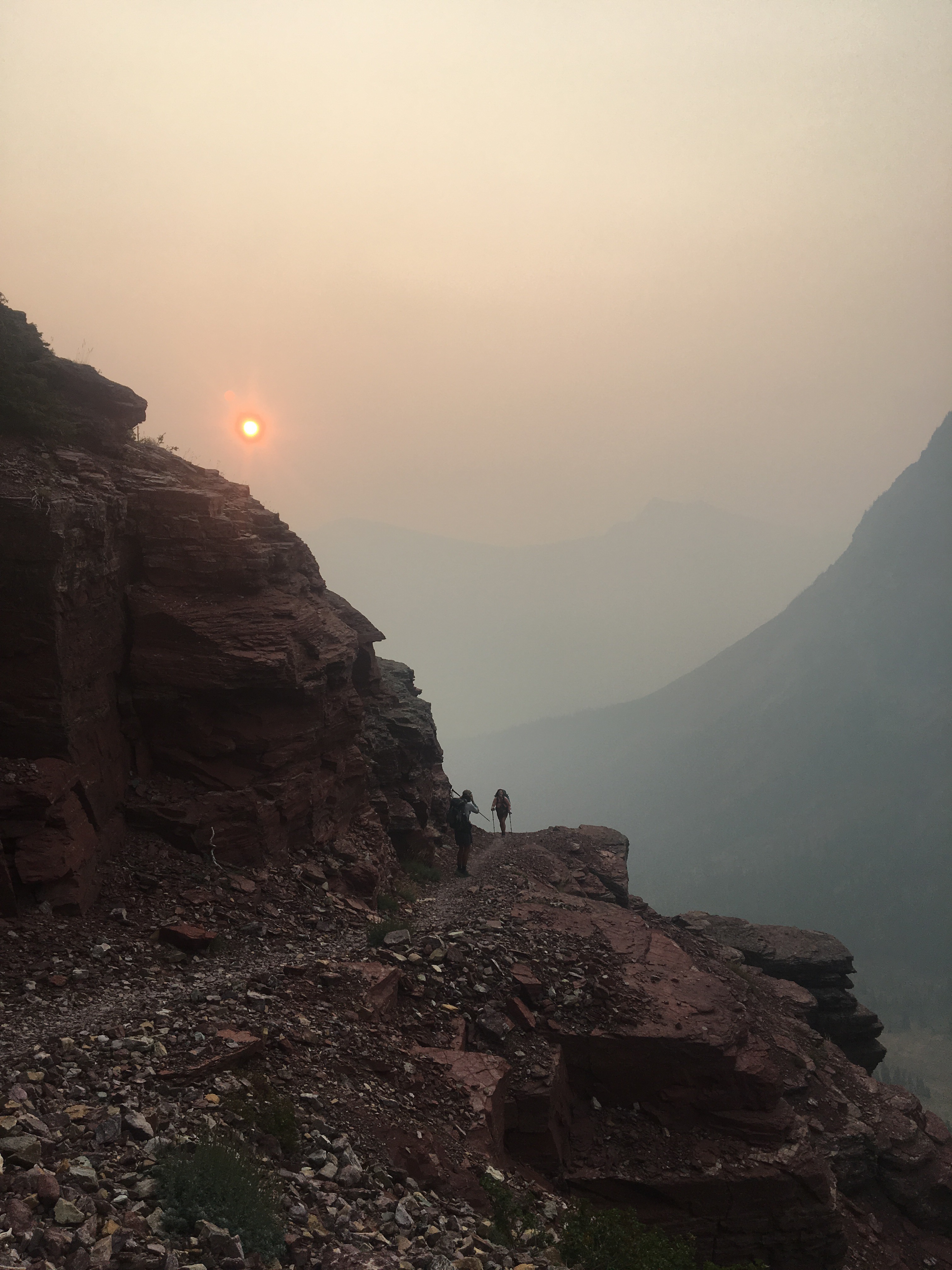
 Garbelly and Critter walking through the smoke
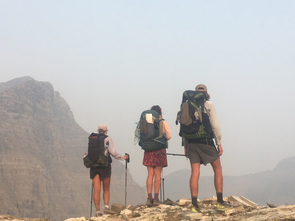

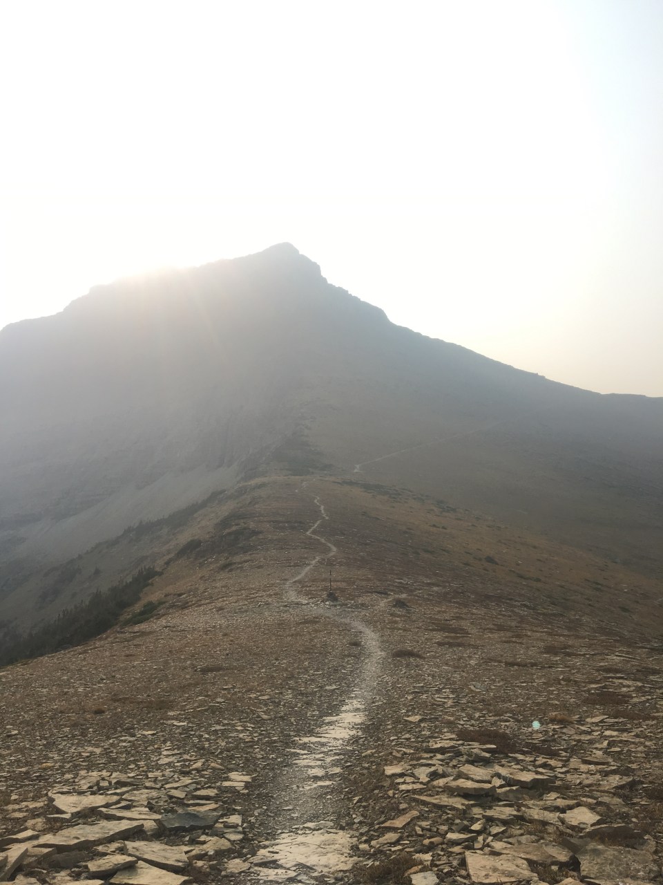
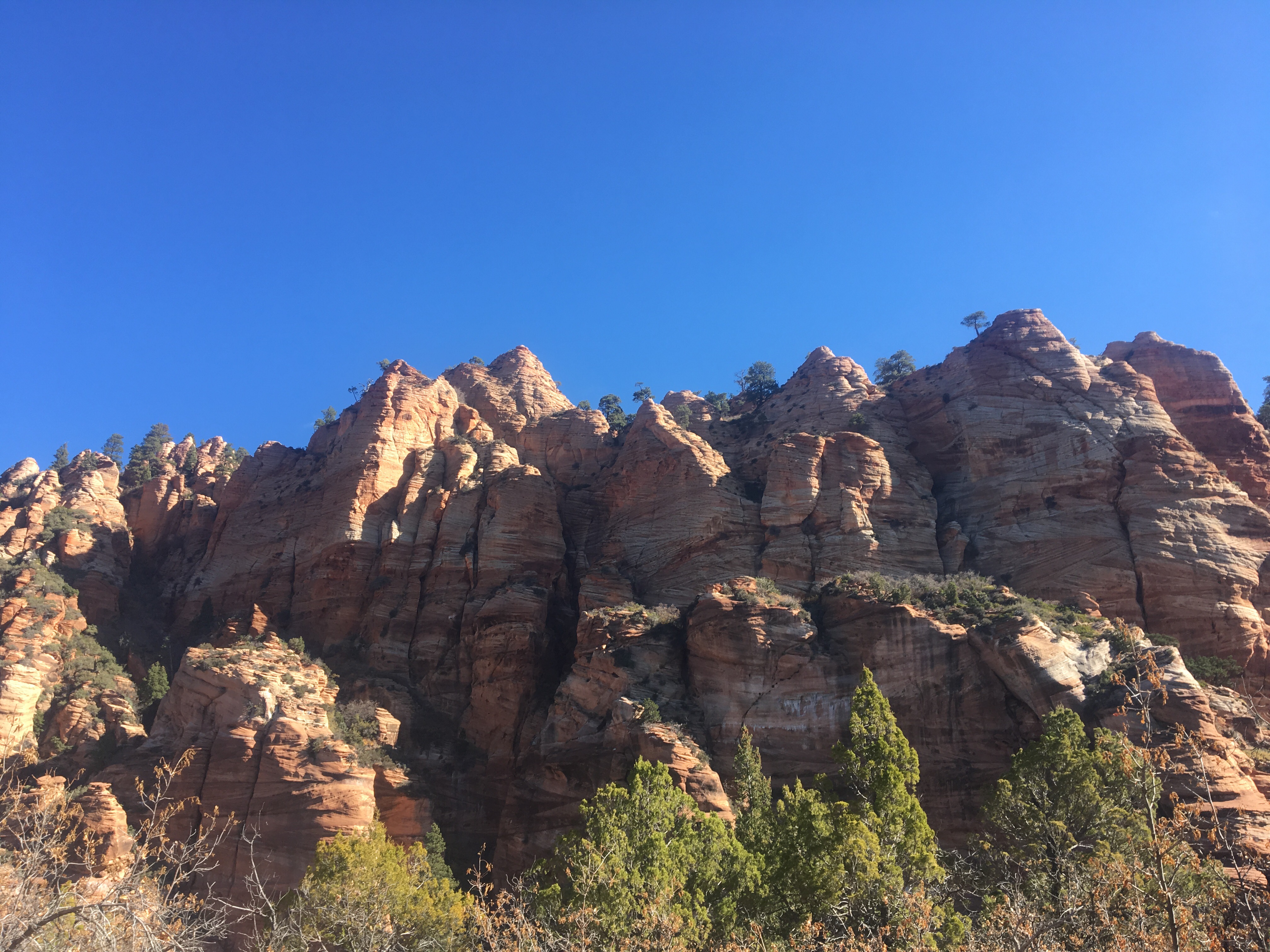
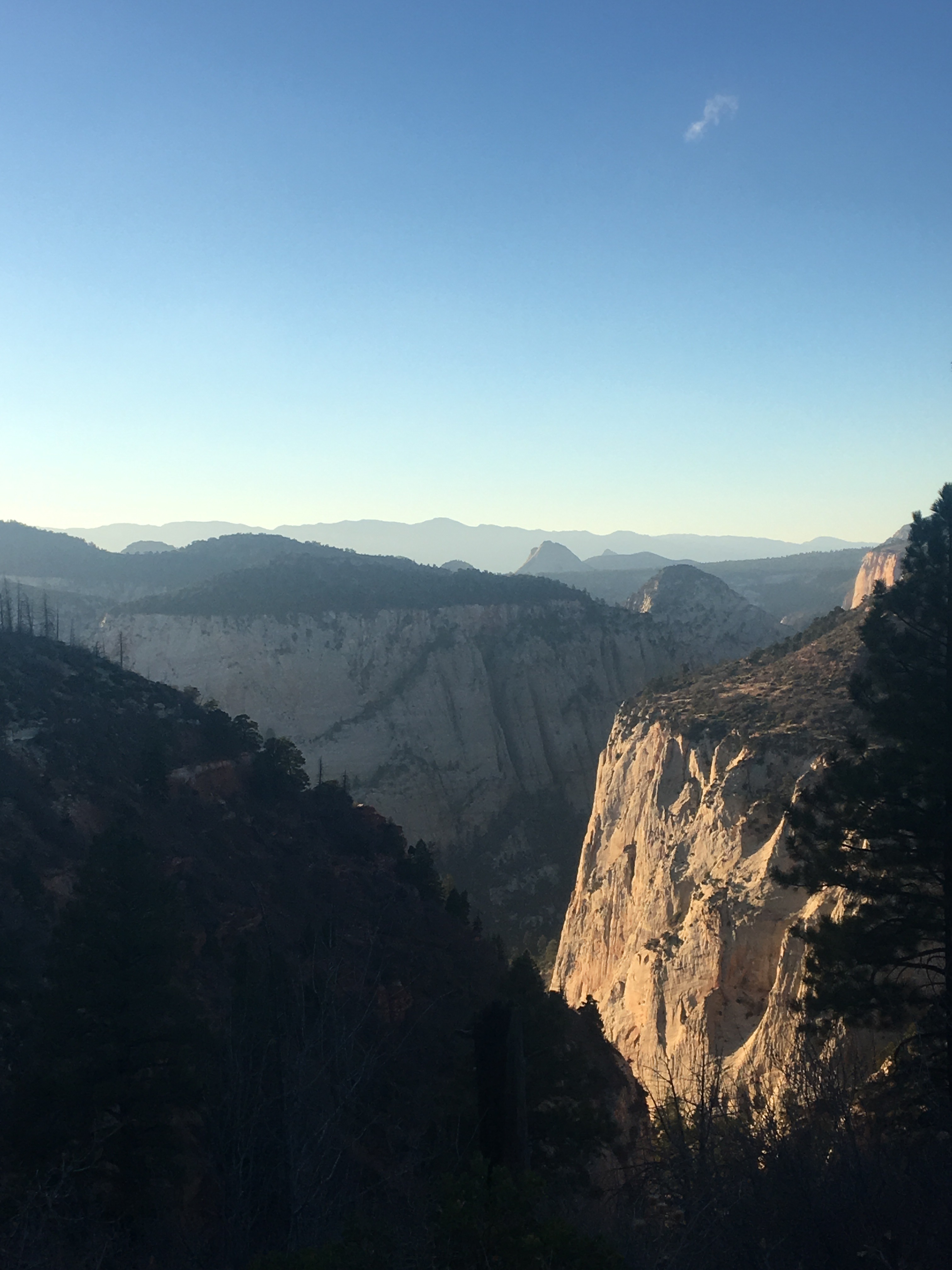
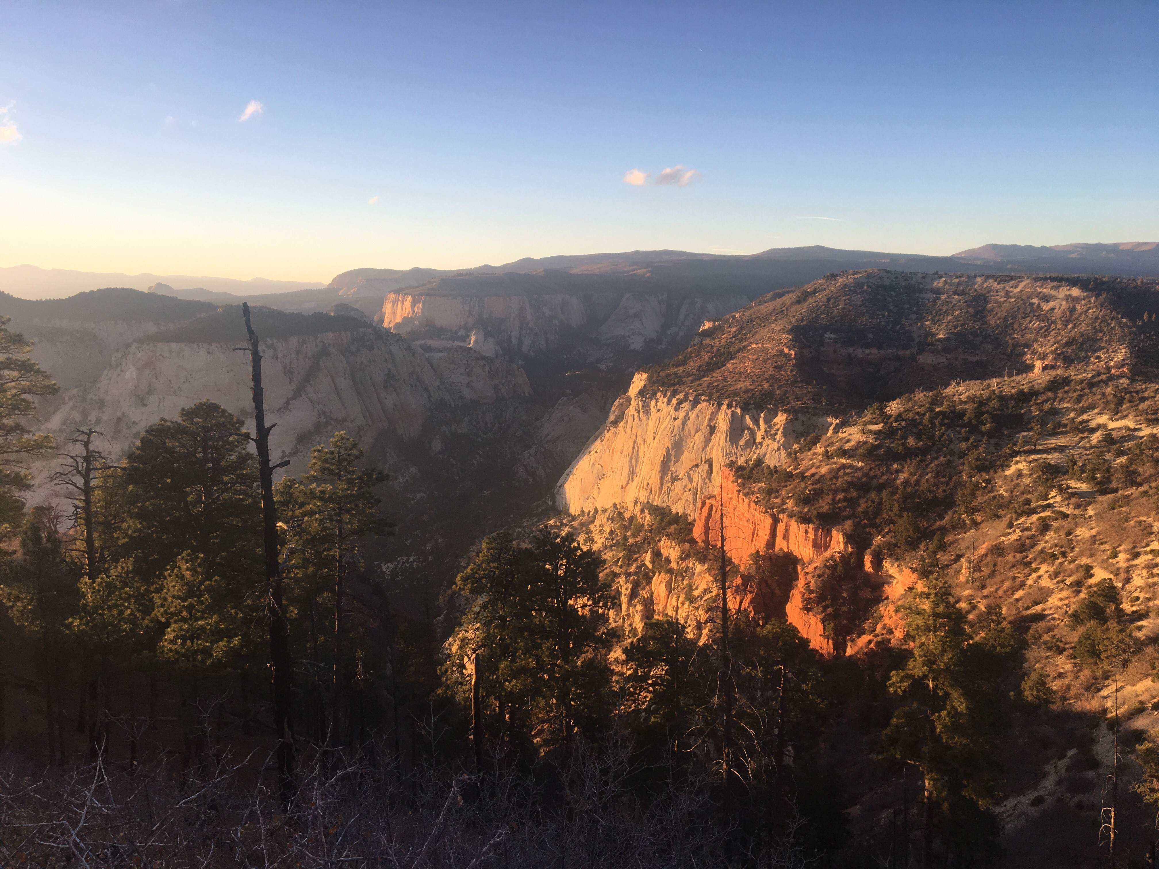
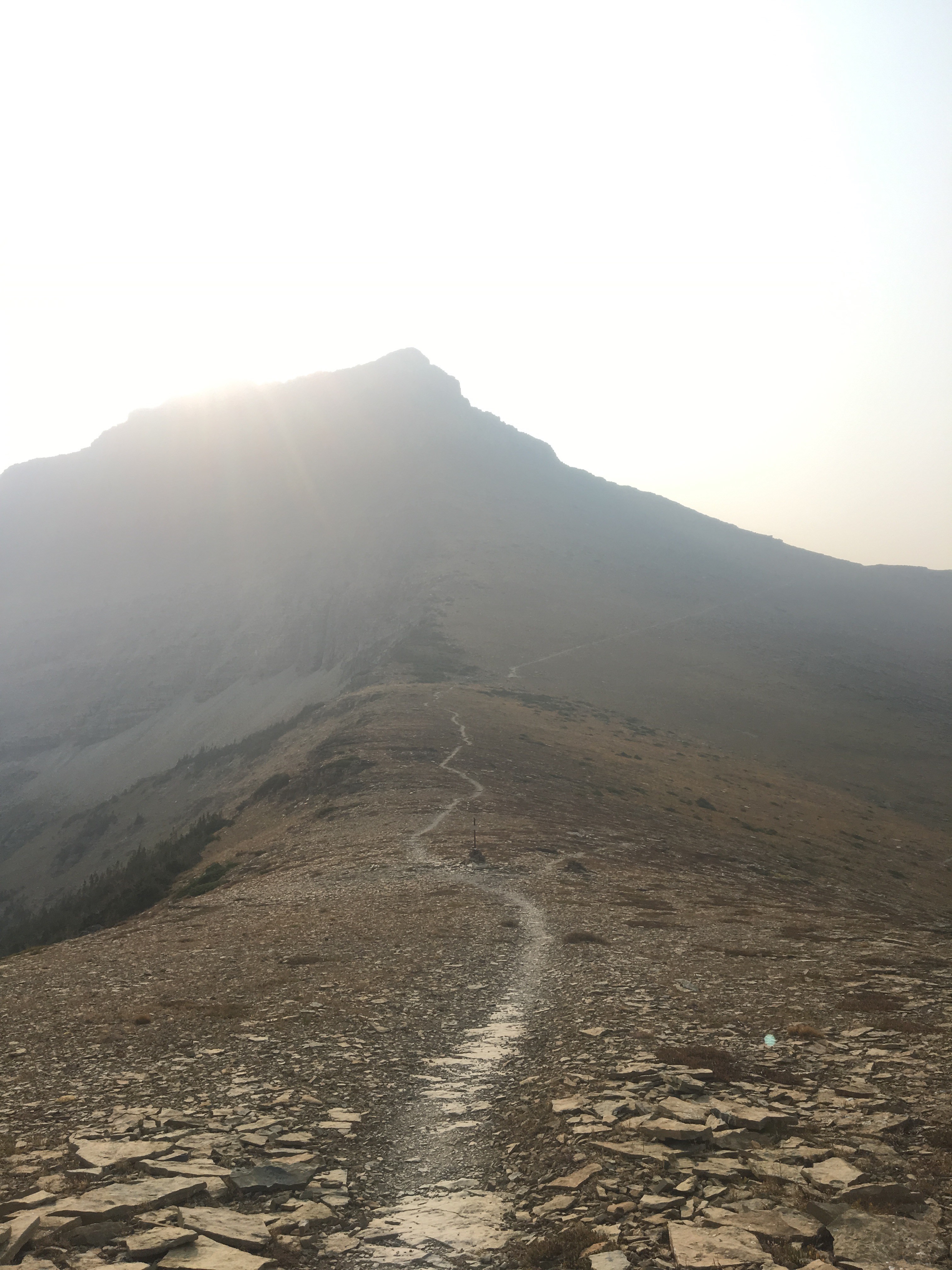
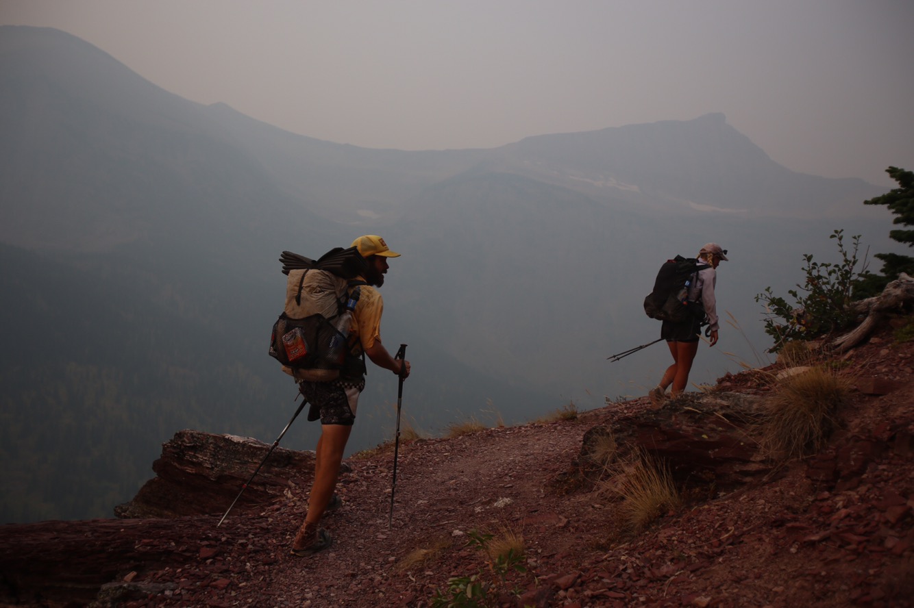
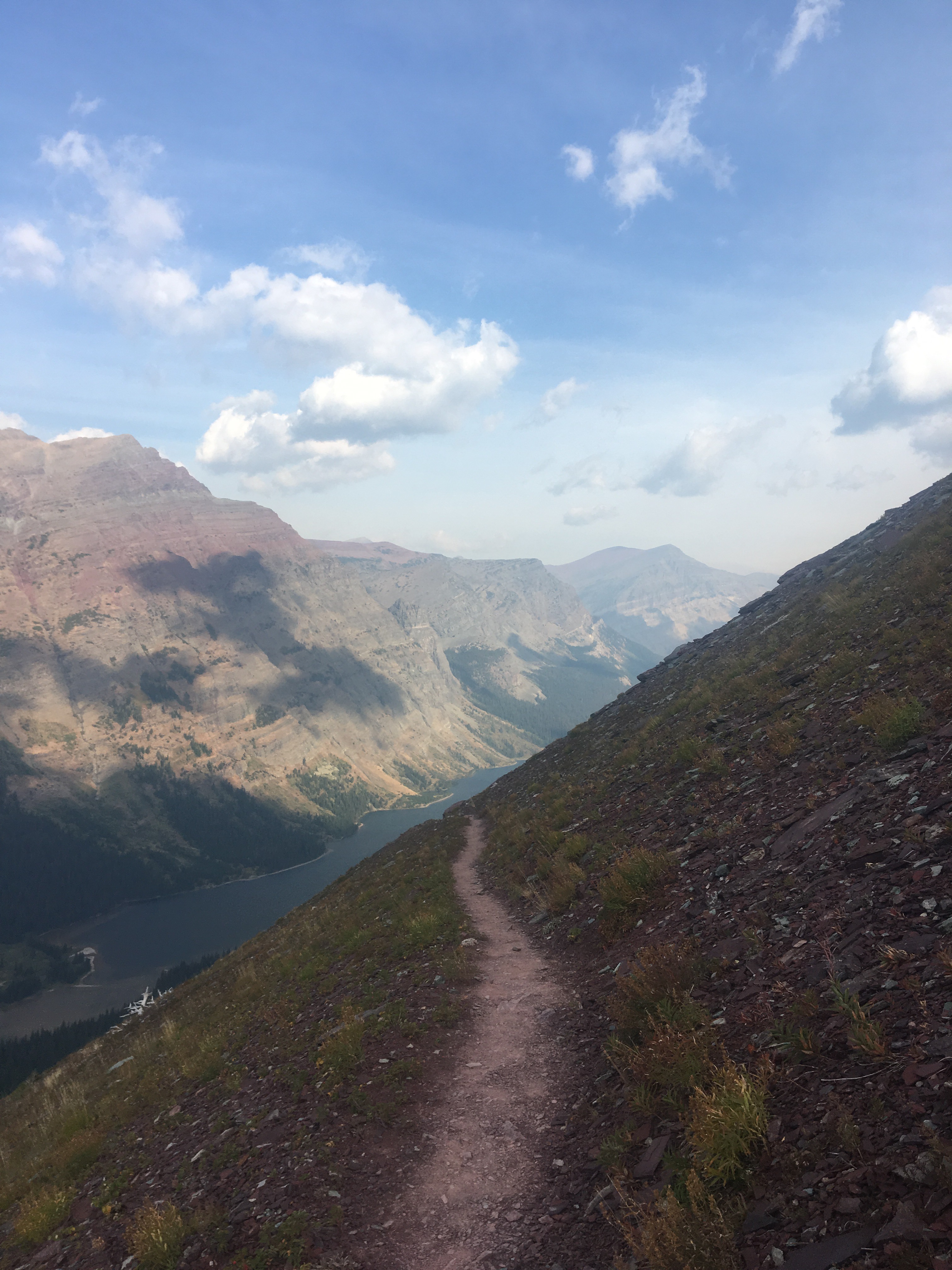
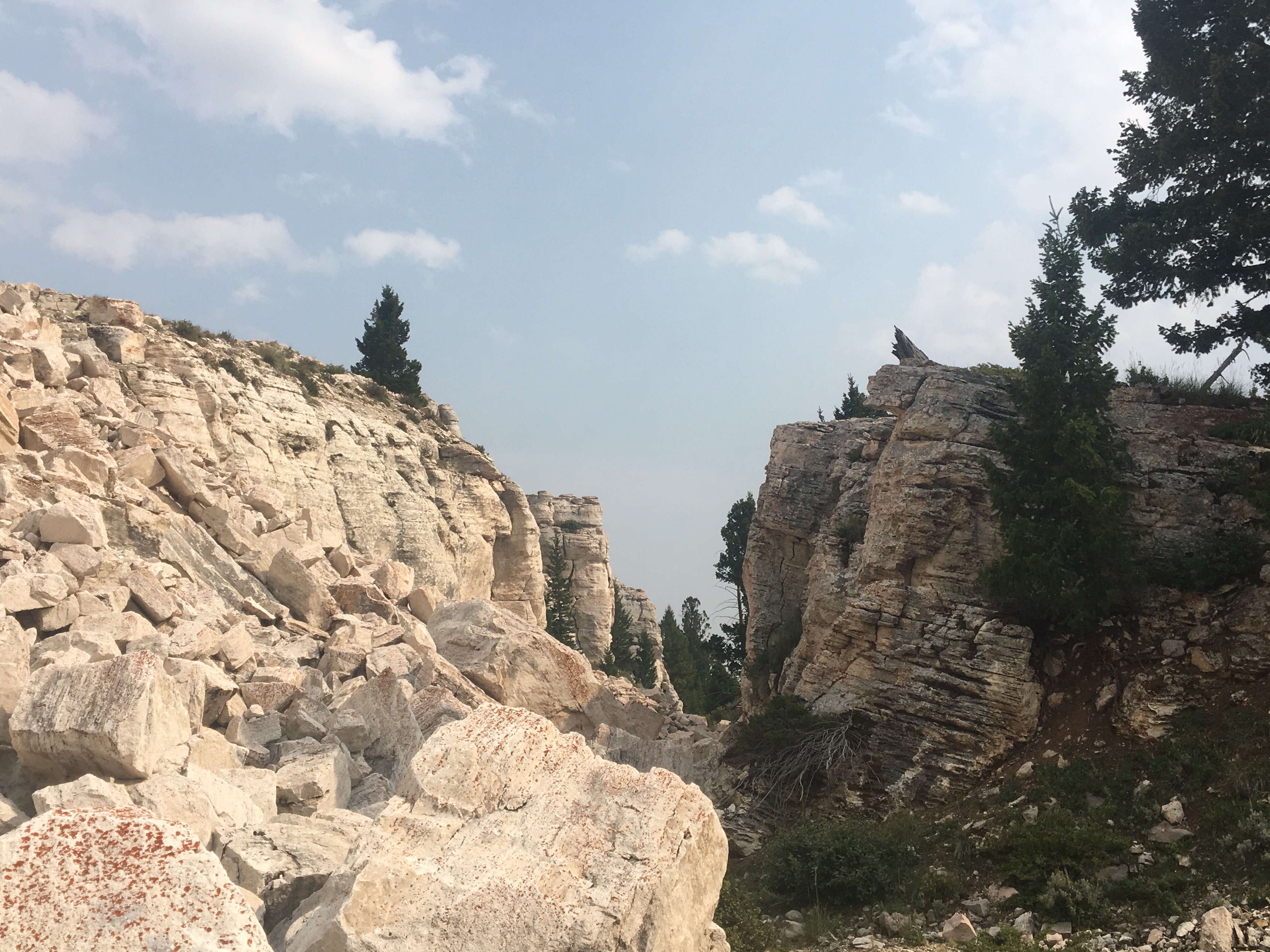
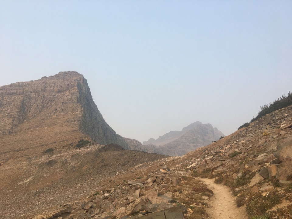 Triple Divide Pass
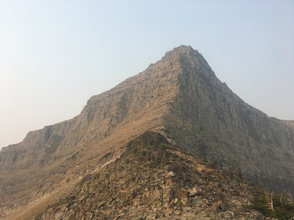
 Cannonball!!!
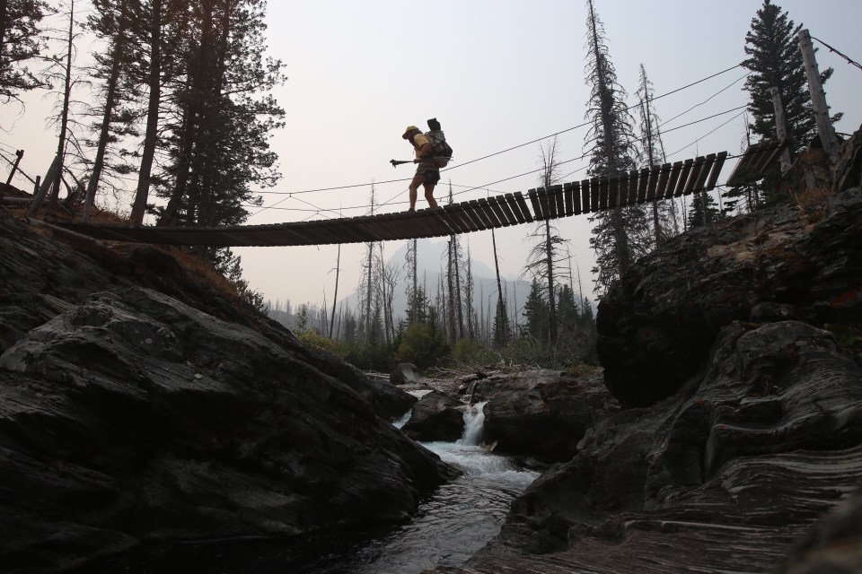
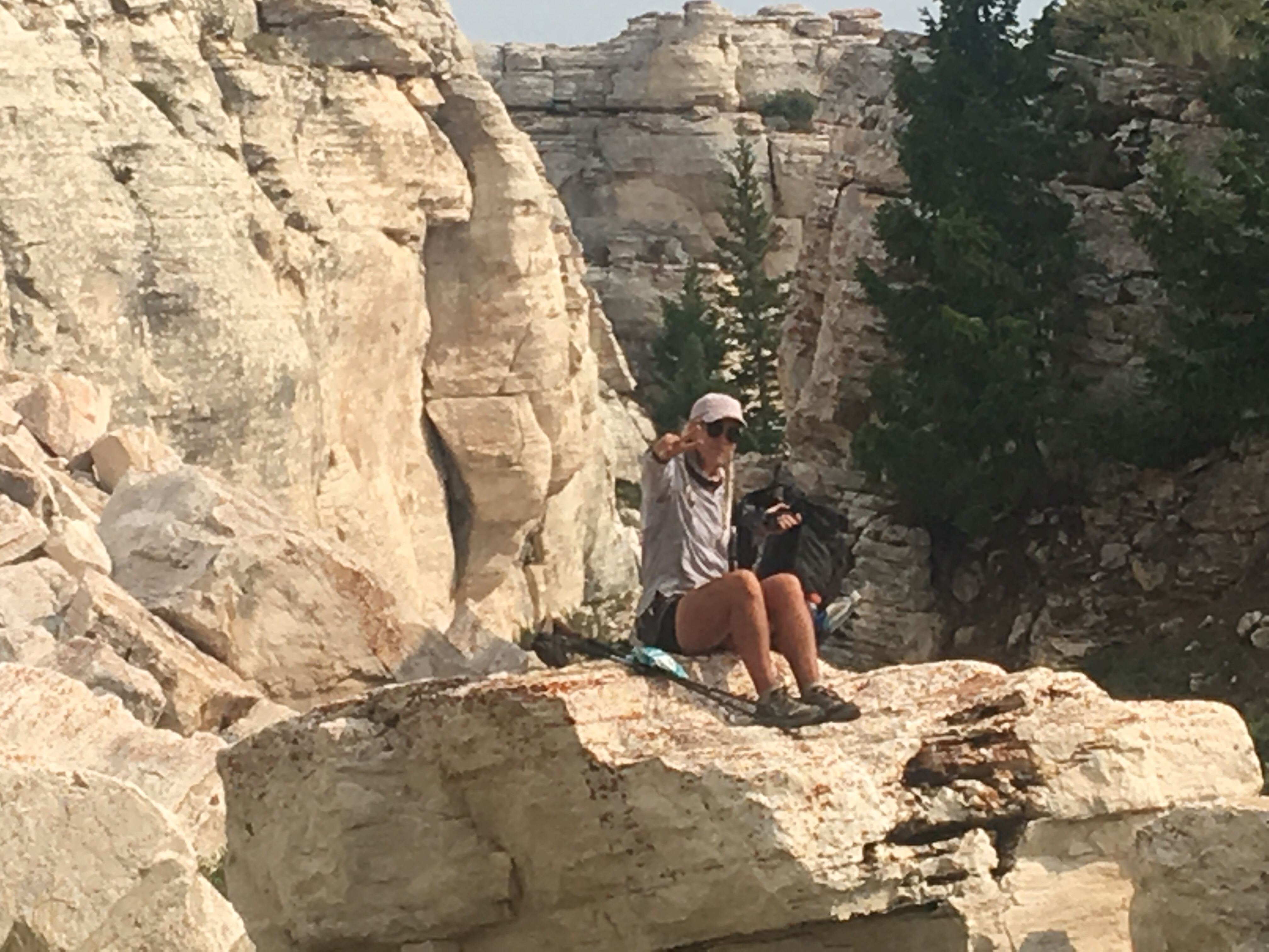
 posing so hard
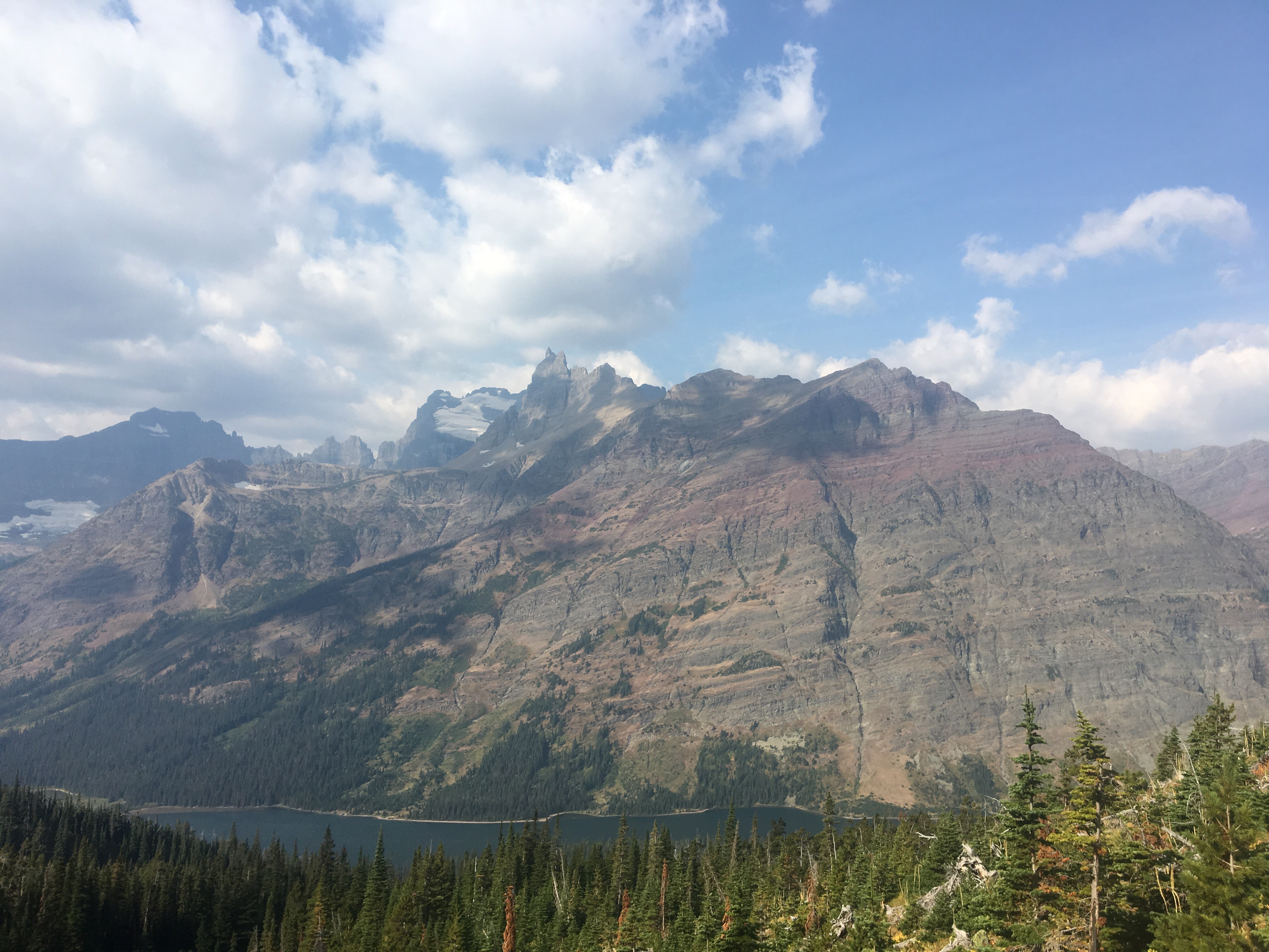
  Triple Divide Pass
  Swam where the mountain dolphins live
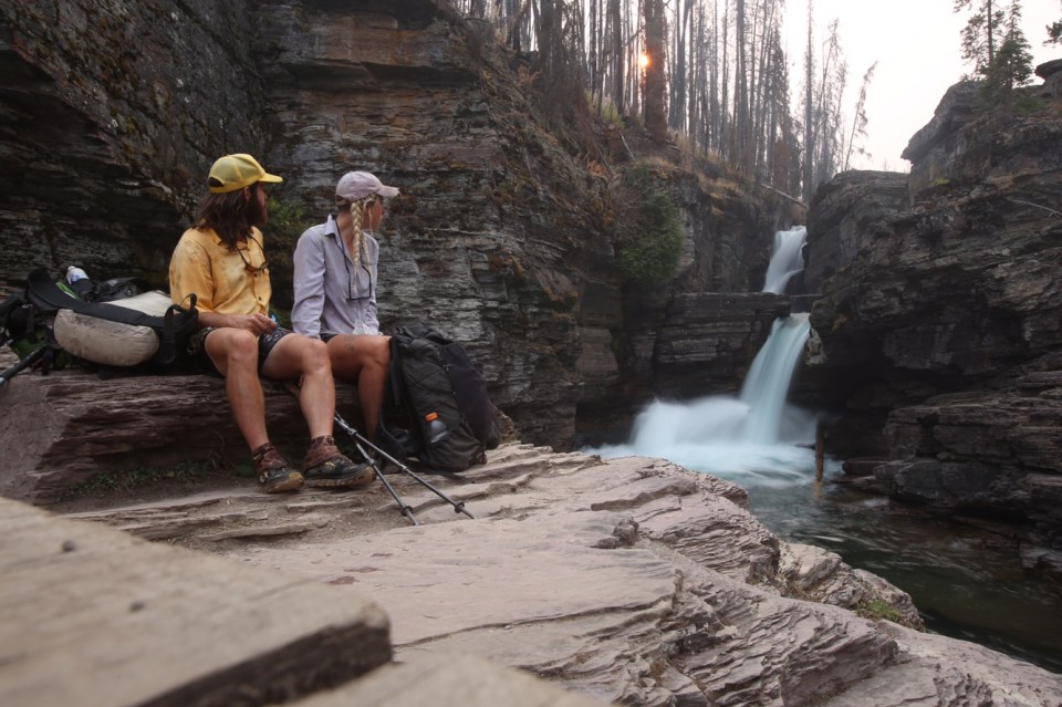
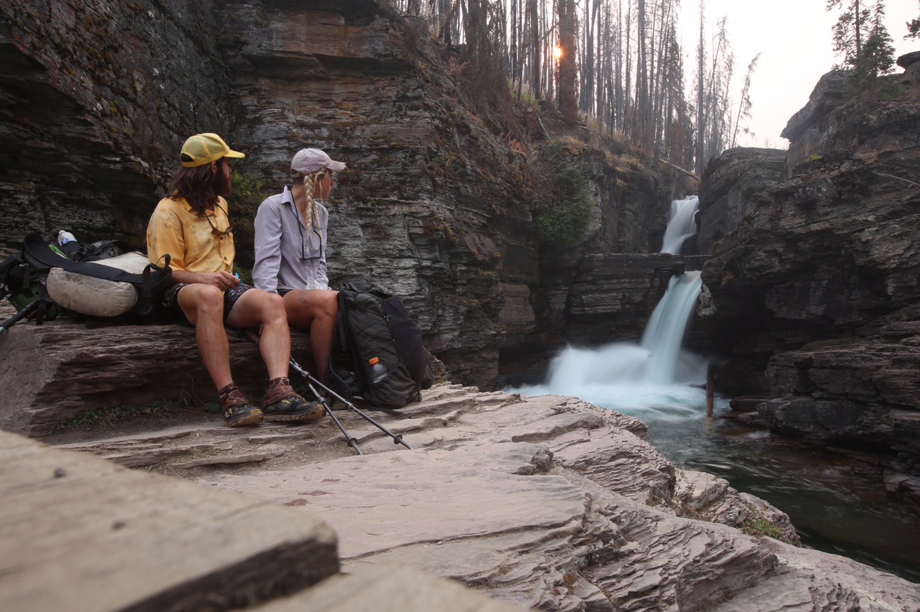
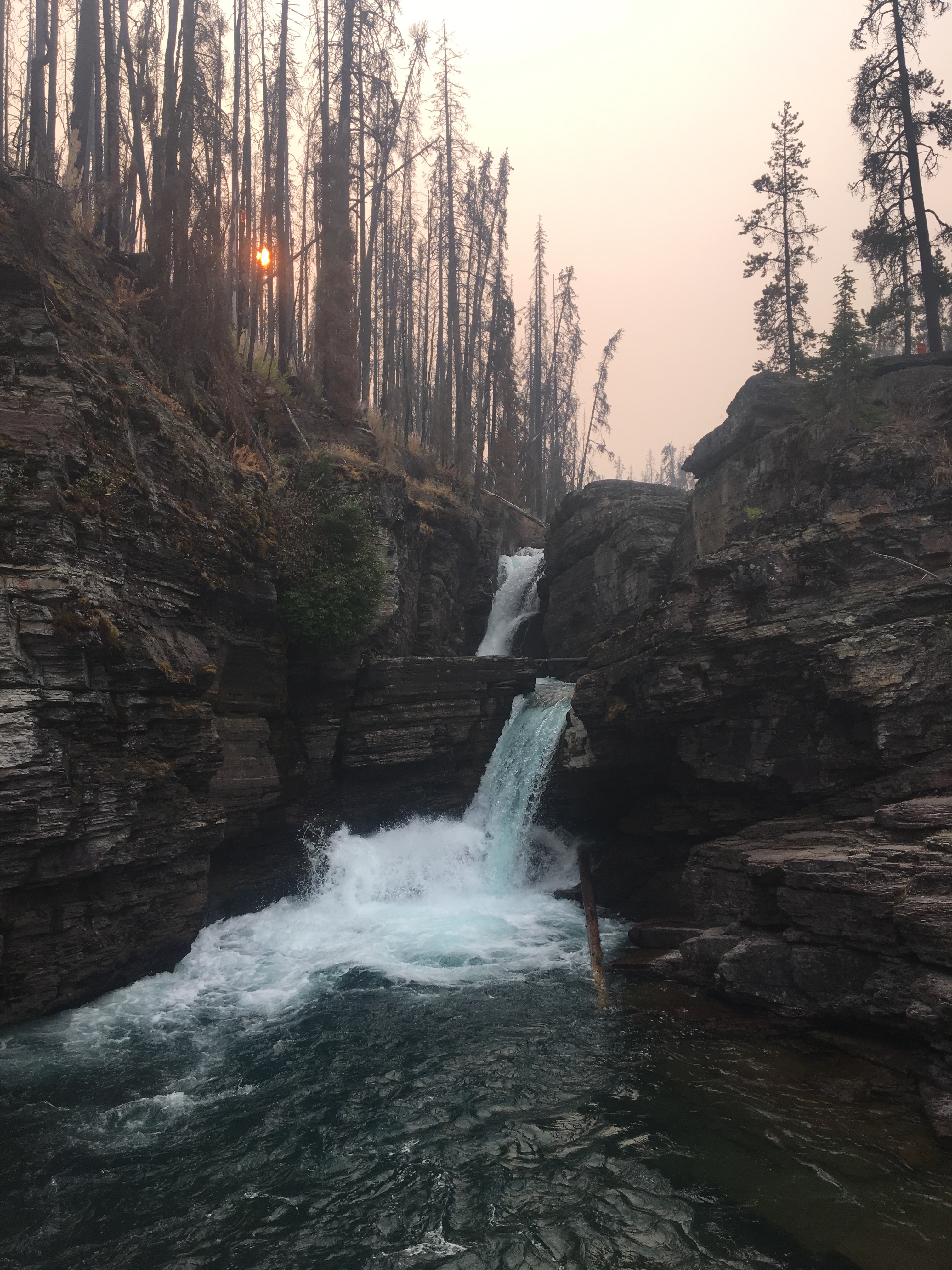
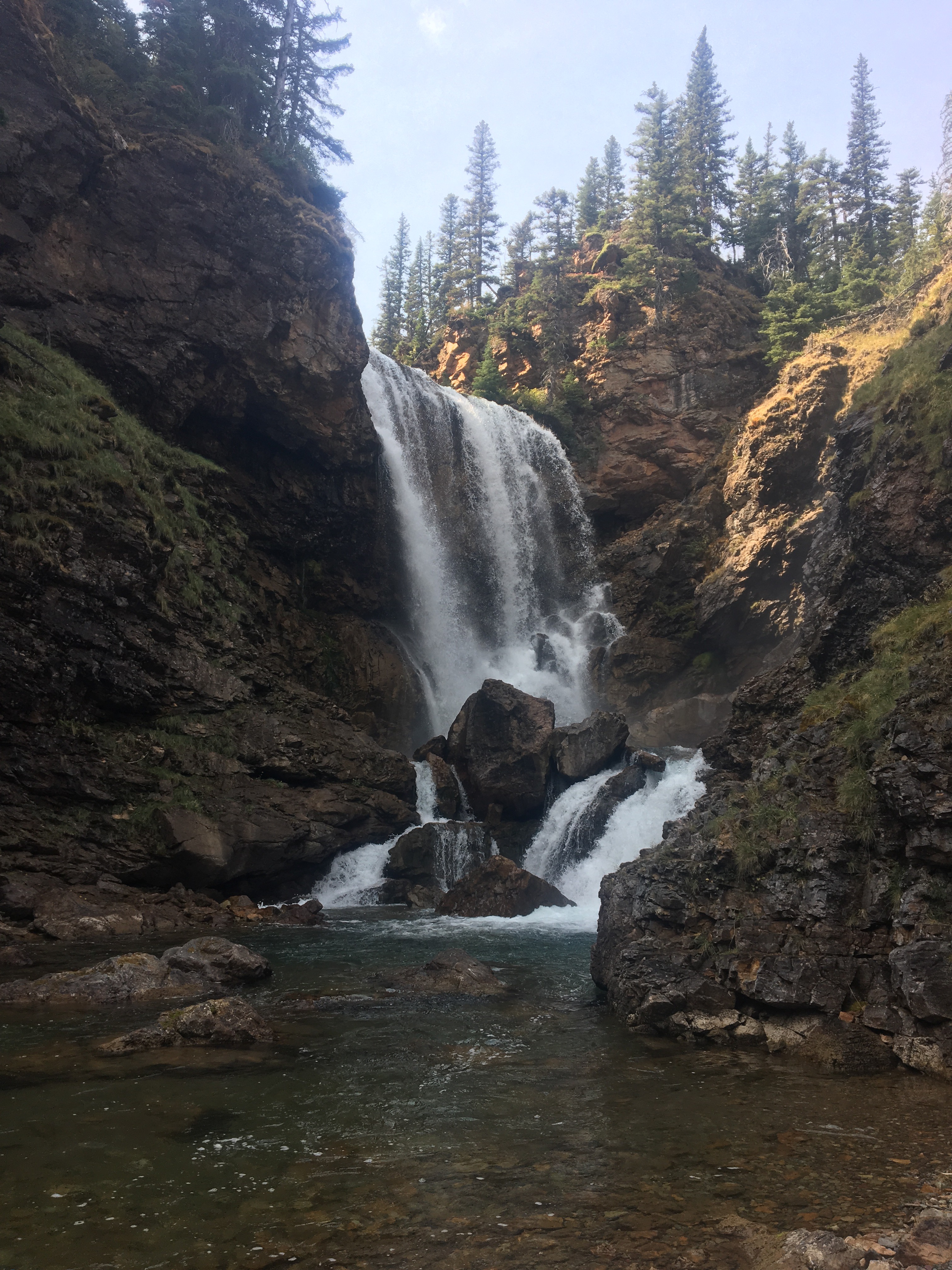
  St Mary Falls
Day 133 9/9 14 miles
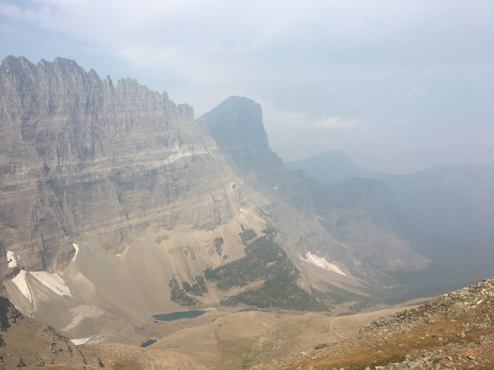
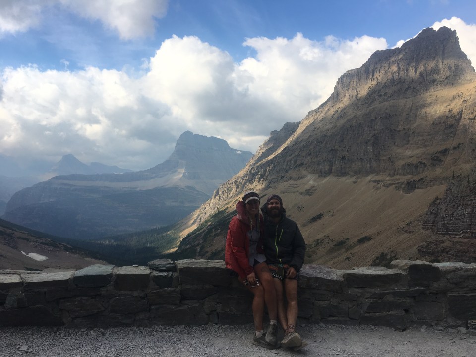
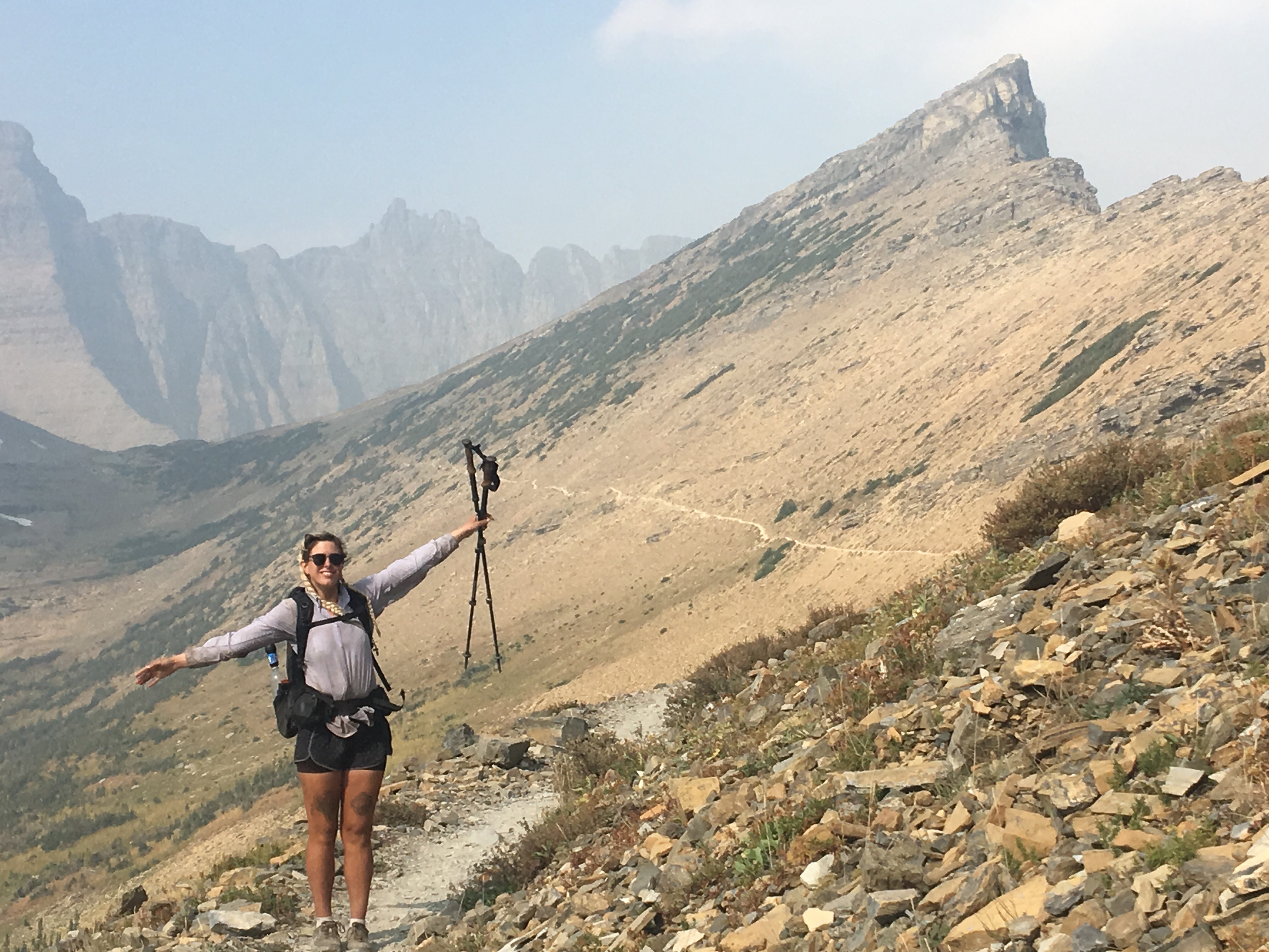
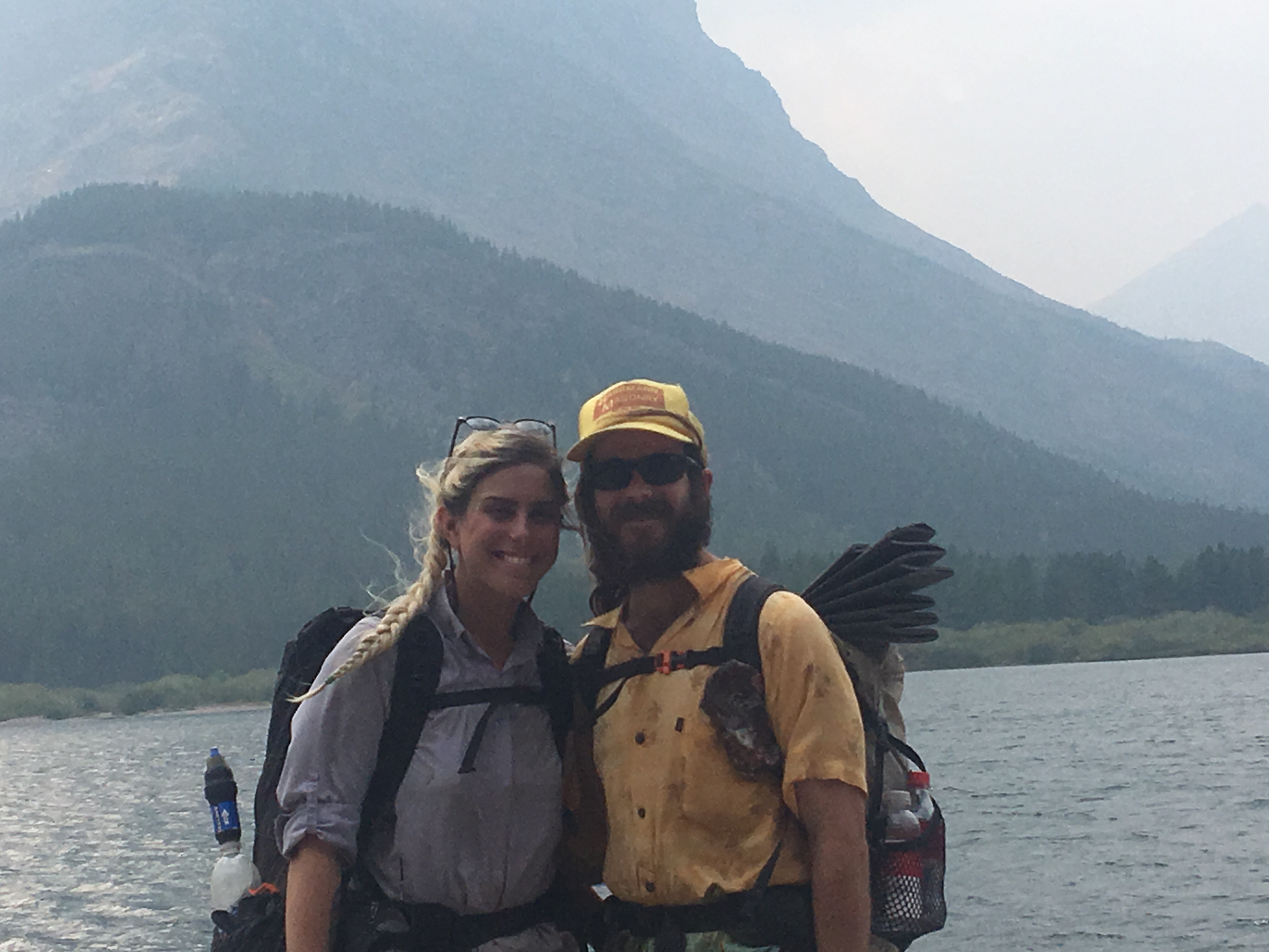
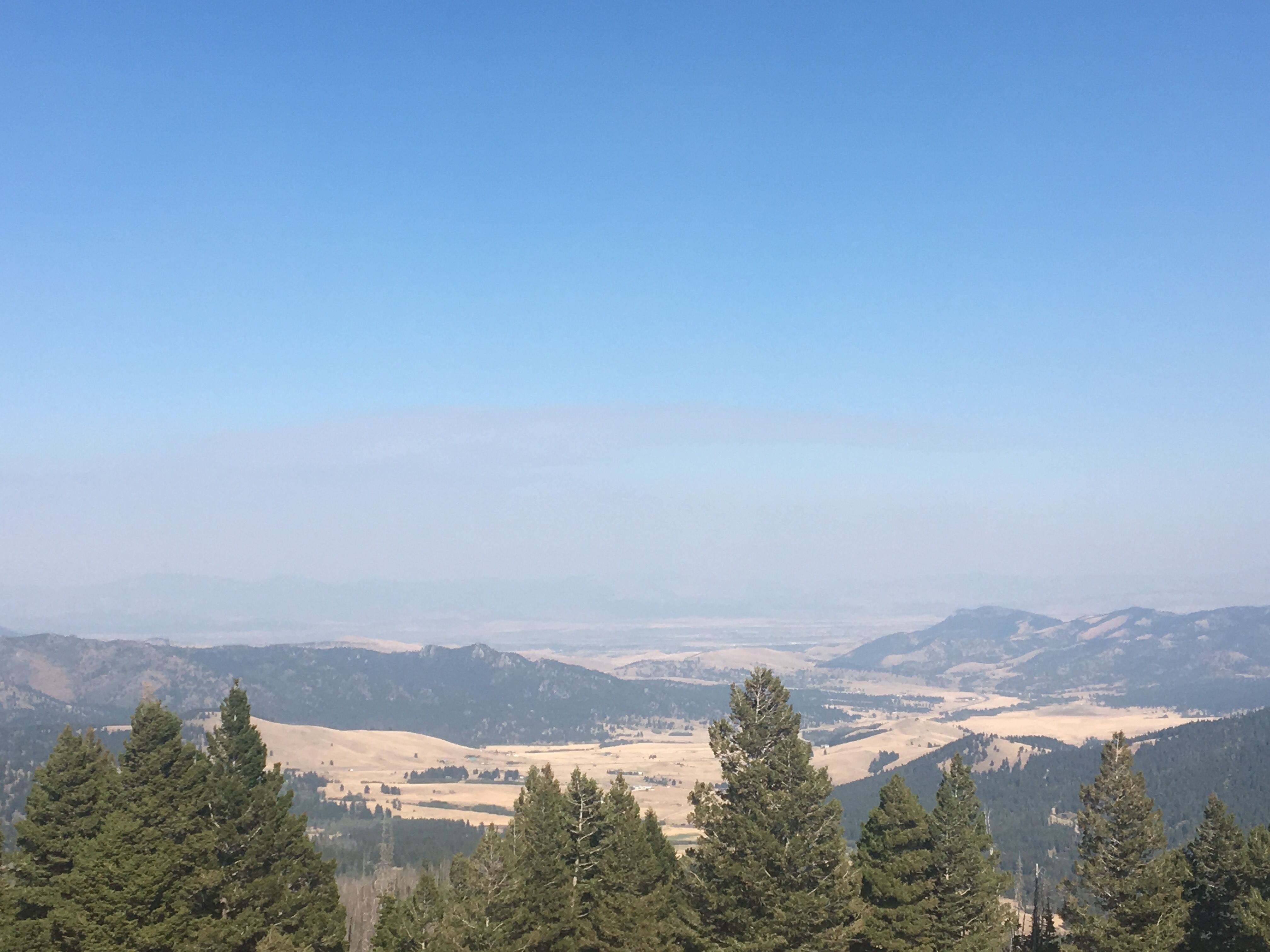
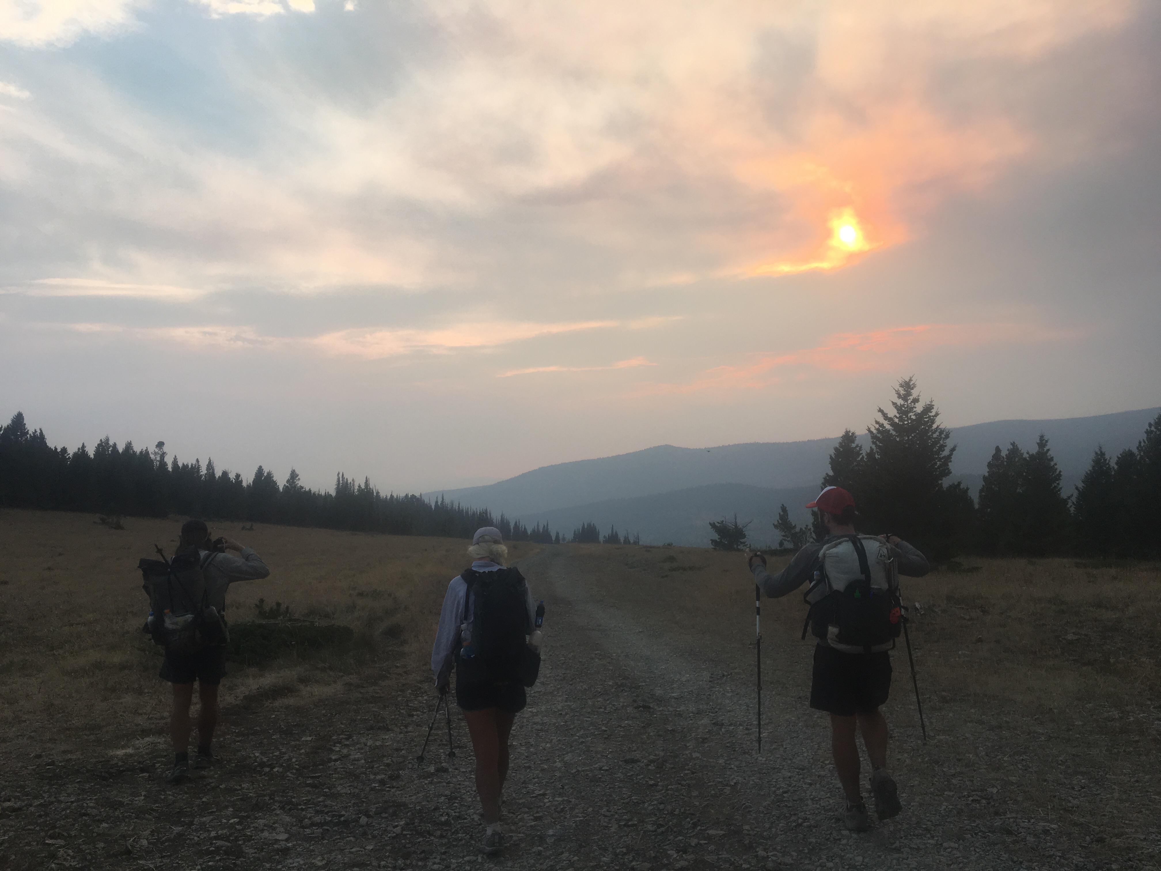
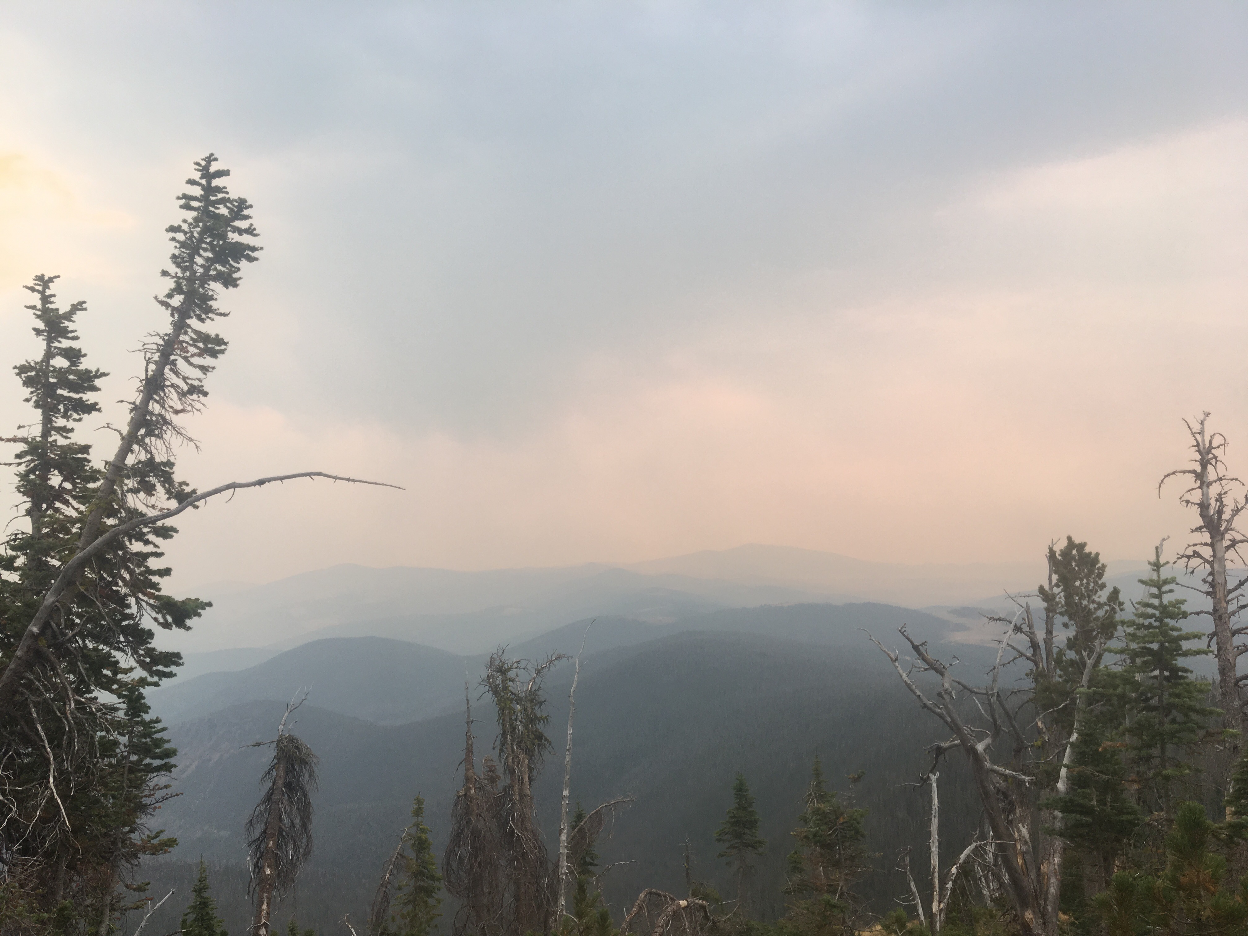
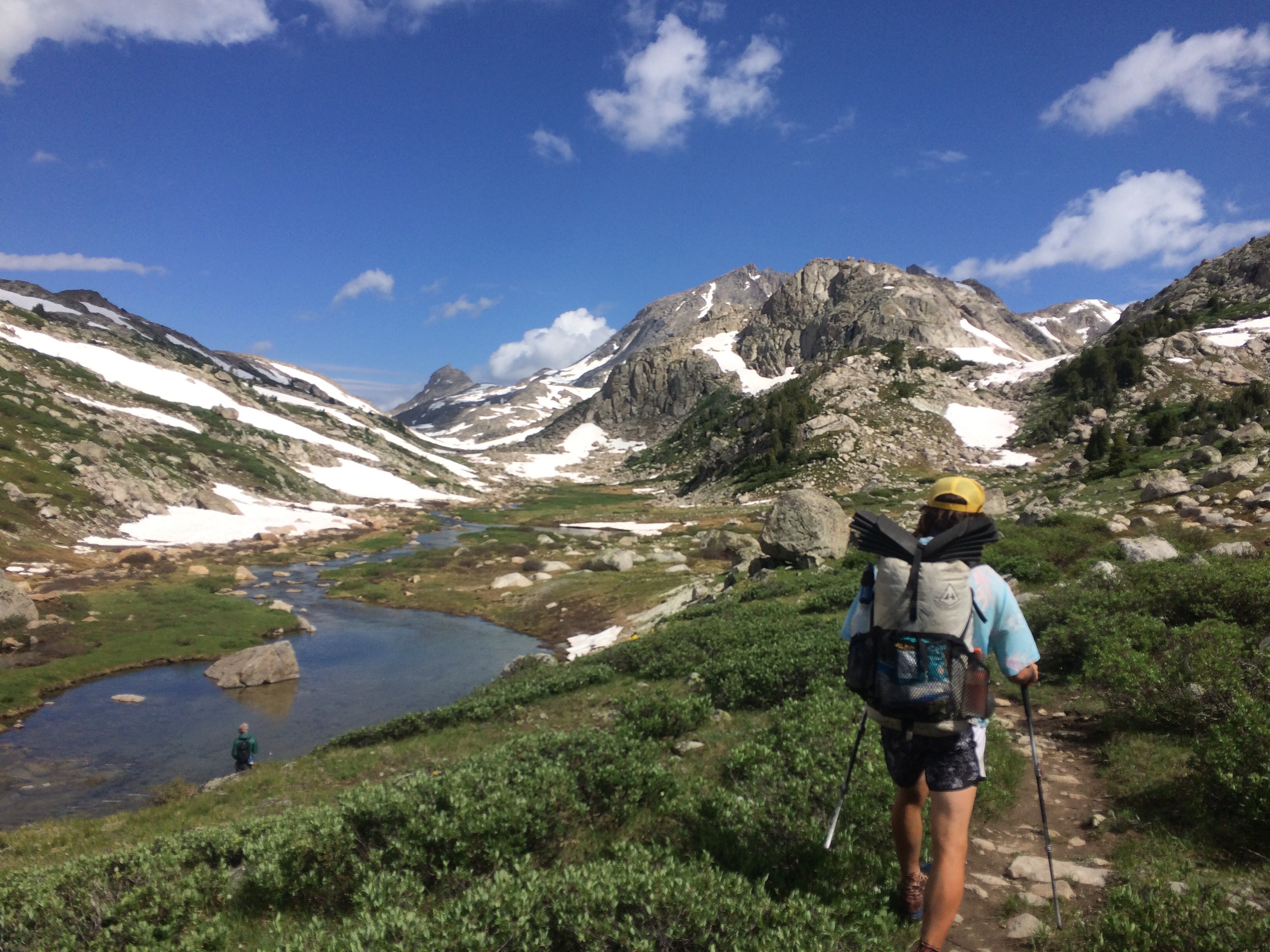
Before leaving Rising Sun we grabbed some sweet potato pancakes at the restaurant. It’s so tough to pass up a good meal when it’s close by. We had a short 14 mile day until the next campground so we weren’t in a hurry. Once on trail we climbed way up to Piegan Pass and the views were just awesome. I know I said yesterday that Triple Divide Pass might have been the most impressive pass I ever climbed but that title only stood for a day. Today the smoke had cleared some and we had some better views. It really was amazing. It was super windy on the way down but that probably helped get some of the smoke out of the area. We could see cascading waterfalls, aquamarine lakes, and jagged peaks all over. After we got down to the valley it was a relaxing 5 or 6 miles into Many Glacier, another front country campground with a store and restaurant. There’s lots of other thru hikers here tonight also. Garbelly and Critter, Maine Man, Flip Flop, Liam and Kate, Spindrift and James all are camping here and planning to finish tomorrow. A bunch of us went to supper tonight and it was a lot of fun. It’s weird, I felt like there weren’t many hikers around for most of the trail but I’ve seen lots throughout Montana and especially the last couple hundred miles. They say nothing brings people together like a common enemy, like the school kids rallying together against the lunch lady. In this case it’s the wildfires causing the thru hikers to bunch up right at the end.  Queen B. Macklemore
 Piegan Pass
 Swiftcurrent Lake
Day 134 9/10/17 20 miles
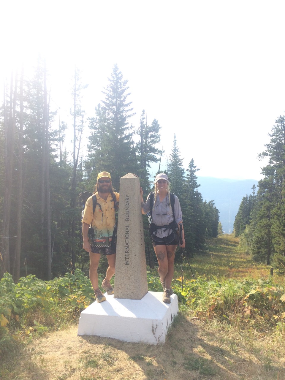
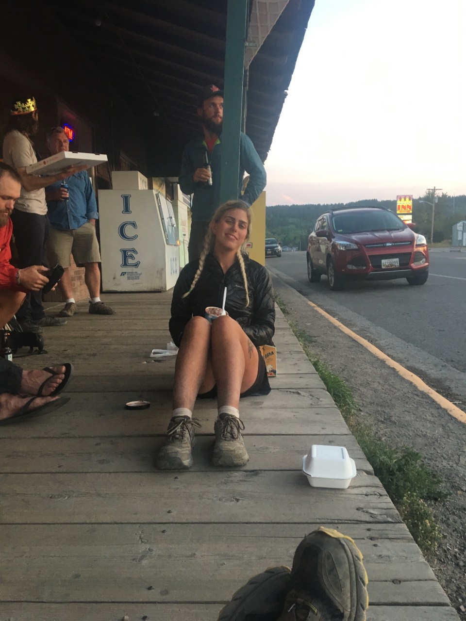
What a day! First of all last night was crazy windy, all night long blowing wicked loud. Even with my earplugs in I hardly slept and it seemed like everybody had the same problem. Even with minimal sleep everybody was still pretty jacked up for our last day. We set off with a big crew of hikers; Garbelly, Critter, Flip Flop, Liam and Kate. From Many Glacier we climbed up to Ptarmigan Pass that has a tunnel going 150 feet blasted through the Pass. It was awesome! We all chilled out up there for awhile enjoying the view, then went through to the other side and the trail down was absolutely spectacular! I can’t believe somebody decided to build a trail and this tunnel up here. We walked half a dozen more miles before coming across Dawn Mist Falls and took the little side trail to it. This was the last highlight of the trail and my last opportunity to jump into freezing cold water so of course I did. After the falls it was only 6 or 7 miles until the road and the border crossing at Chief Mountain. We crossed the border, did the damn thing, got our passports stamped, and took a bunch of pictures by the monument. From the border our friend had rides up to Calgary and QB and I hitched south. We got a fun ride from Ina, Karen, and Jules (an AT long distance hiker herself) back to East Glacier. There are lots of hikers in town and after pigging out at the restaurant we hung out with all them out front. 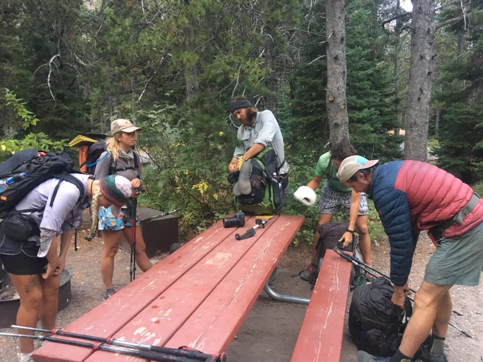 Breaking camp on our last morning
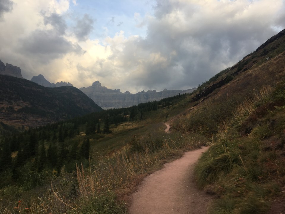
 Pride Rock?
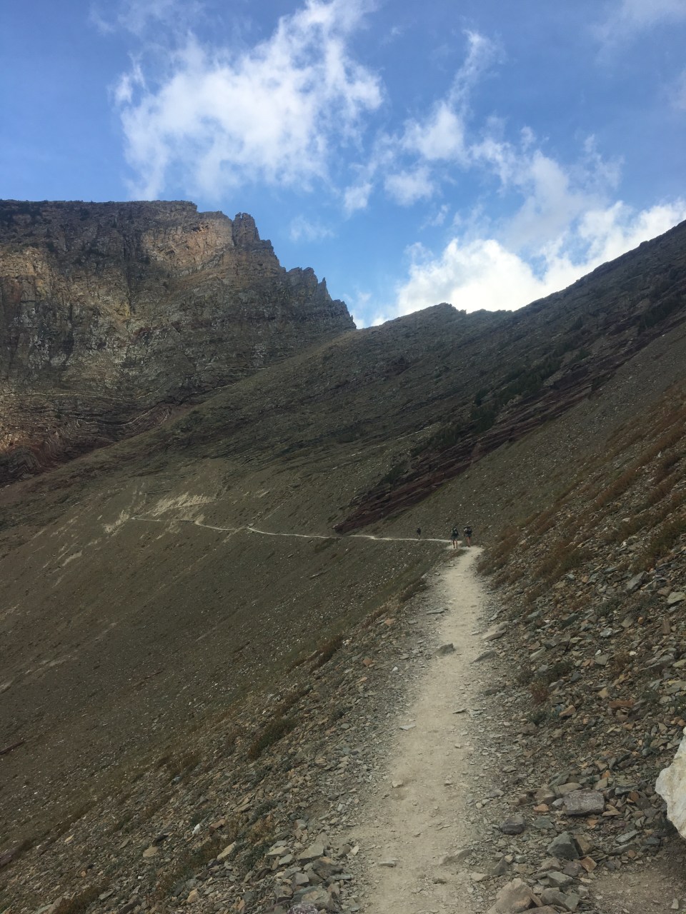
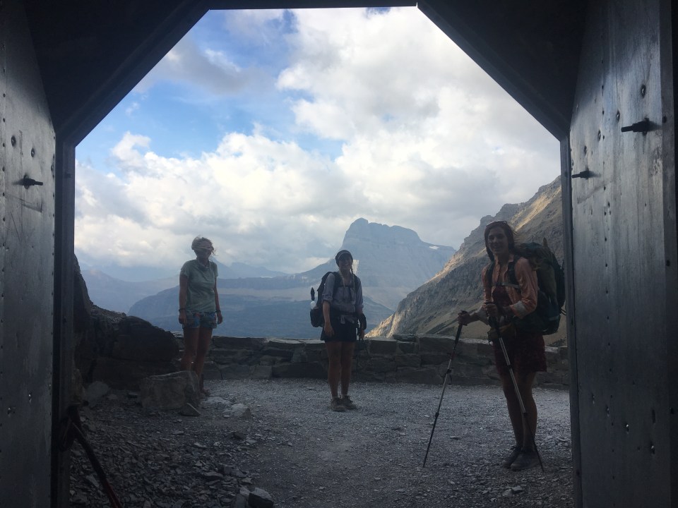 Ptarmigan Ptunnel
 Walking out of the tunnel
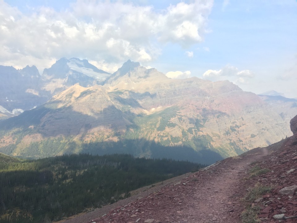


 QB, Garbelly and Critter at Dawn Mist Falls
  Dawn Mist Falls
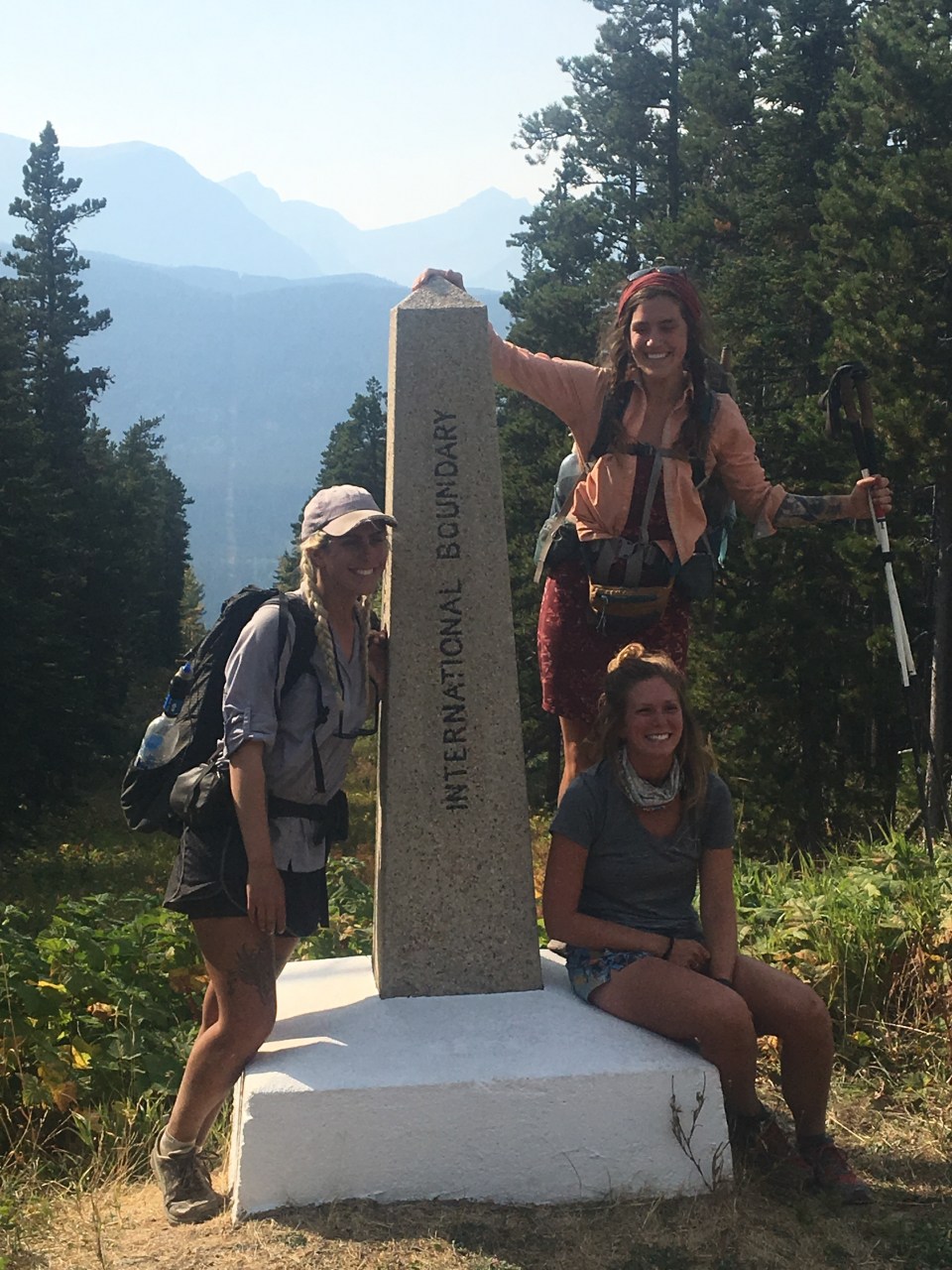
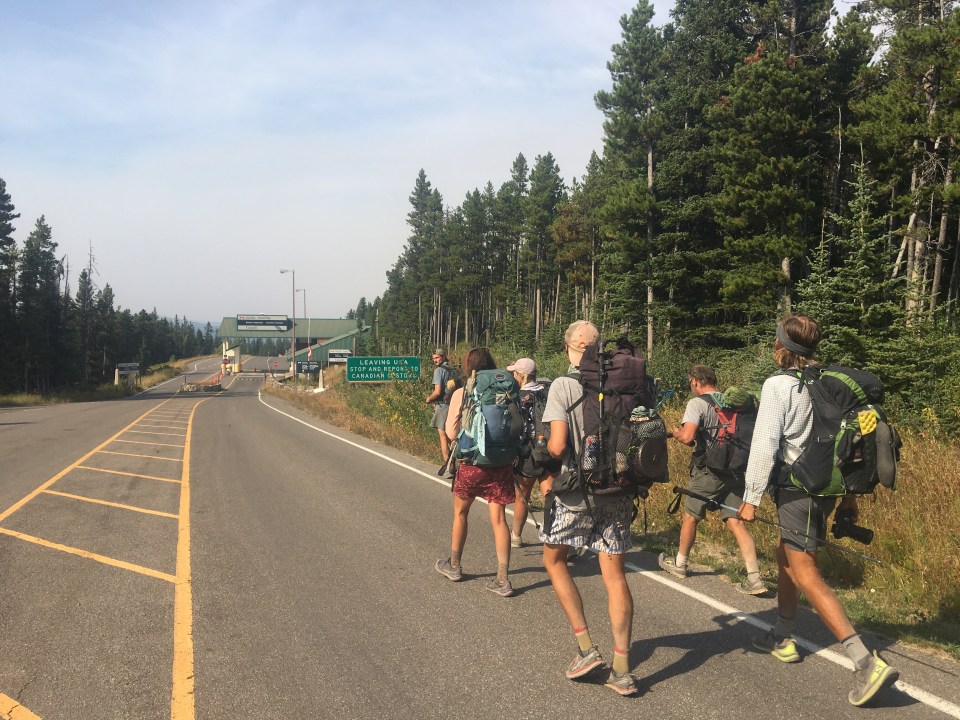 A bunch of kids walking to Canada
 This trail was overwhelmingly dudes, it’s cool that we finished with 3 women; QB, Critter and Kate
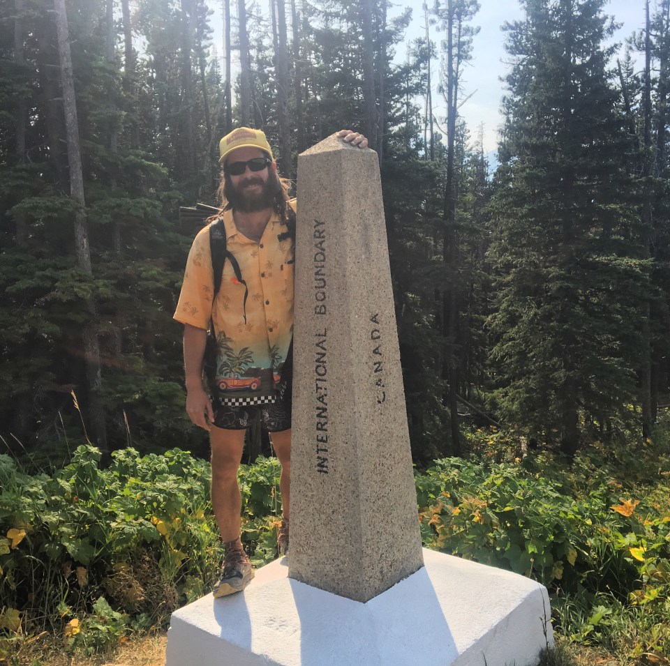


Over the course of 134 days I walked roughly 2800 miles from one imaginary line to another (QB had her total mileage at 2795, I’ll go through my journals later but that seems acurate). The trail was significantly harder than I thought it would be, but also more incredible than I could have ever imagined. Finishing the trail hasn’t exactly sunk in yet and I’m sure it will take a while to digest. I’ll have it forever and I will look back fondly at this summer on the CDT. The fact that there are so few hikers on the trail makes for a tighter knit community. Probably like going to a small high school or something. I met some great people out here that I look forward to seeing again. Oh yeah, I will definitely be back here too. The CDT introduced me to so many great places that I definitely plan to explore more.
I have so much gratitude for everybody who helped me get through this trail; trail angels, folks who gave me rides, people who took me in and fed me or gave me a place to crash for a night, friends who came out to hike with me, all the support I’ve got from this blog and encouragement from friends following my hike online (it holds me accountable in a way, a good way, and provides motivation to finish this grueling hike). Thank you to my parents and family for their continued love and support and especially to my hiking partner Queen B who made this summer so much fun and without her, I would not have made it.
-Endless
PS All My Love!!! And thanks for reading
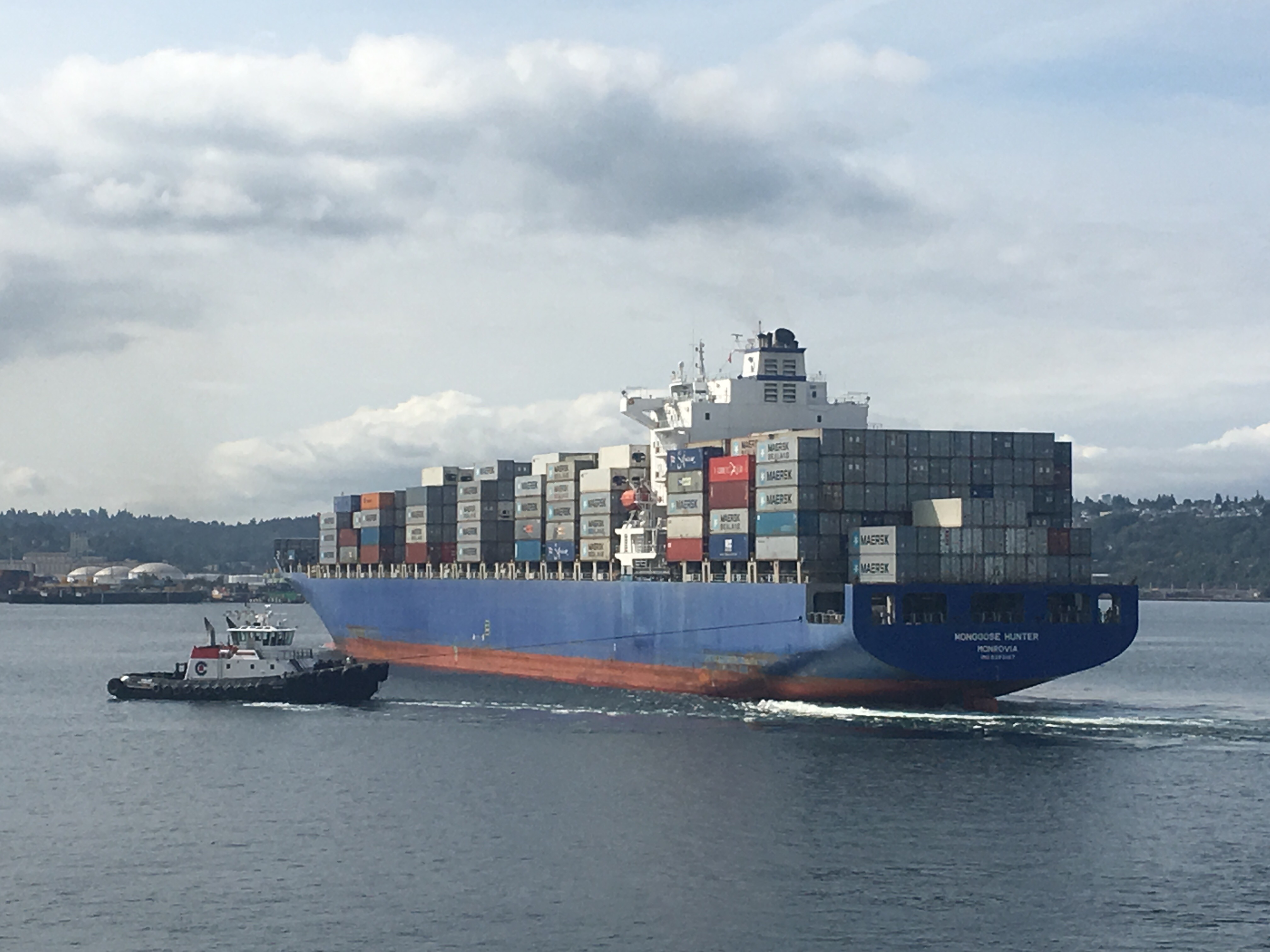
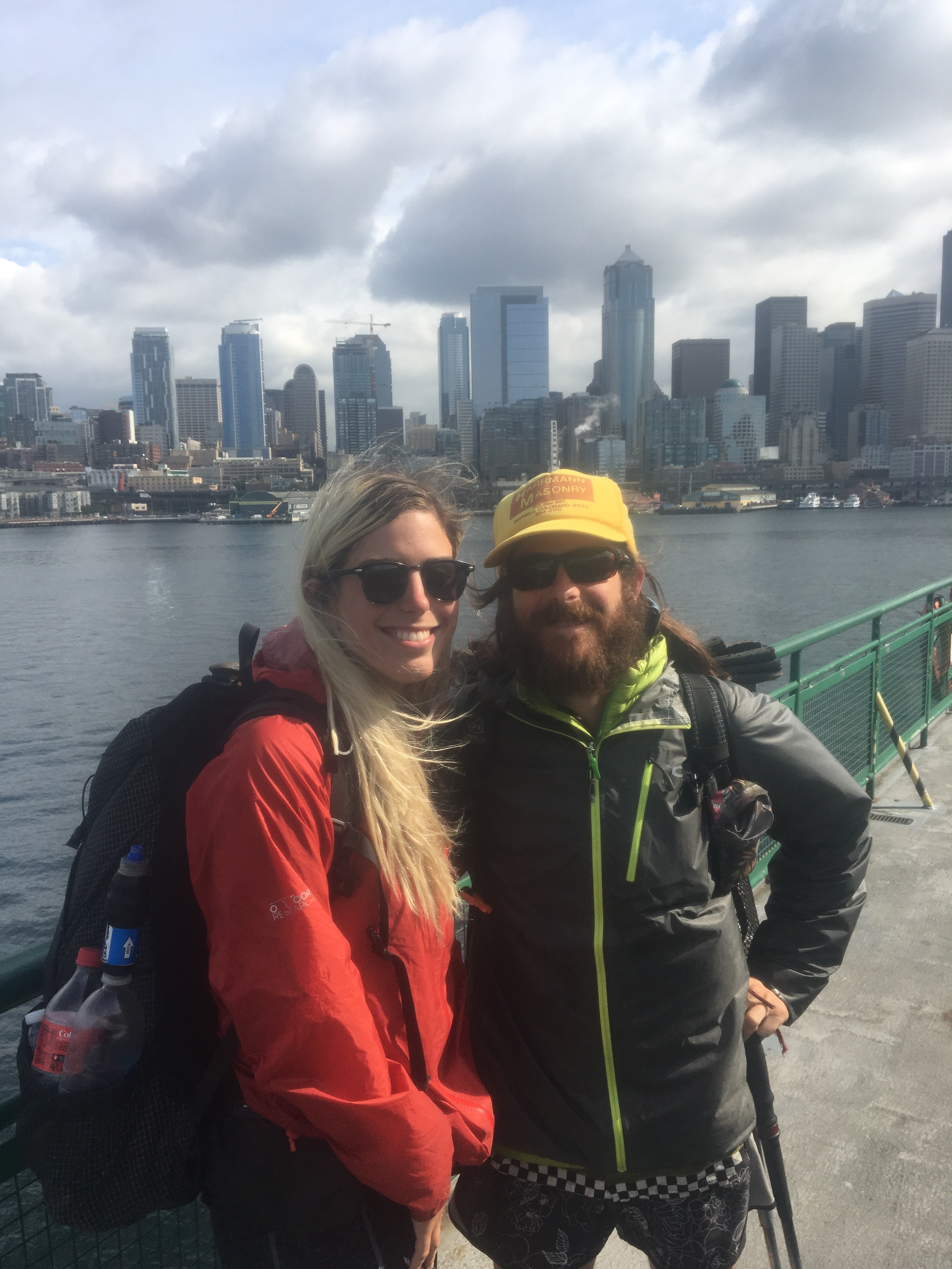
PPS from East Glacier we are catching a train to Seattle and hiking for a few more weeks. The train should be fun, I don’t think I’ve ever taken anything longer than the commuter rail from Lynn to Boston. Originally we planned on hiking the last 350 miles of the PCT so QB could finish her triple crown but due to fires might have to come up with an alternative plan. Stay tuned there should be more posts in the next few weeks. And seriously thanks for reading, it has been a pleasure writing this blog and I appreciate the feedback I’ve got. If you want to see different pictures feel free to follow me on instagram @endlesspsummer


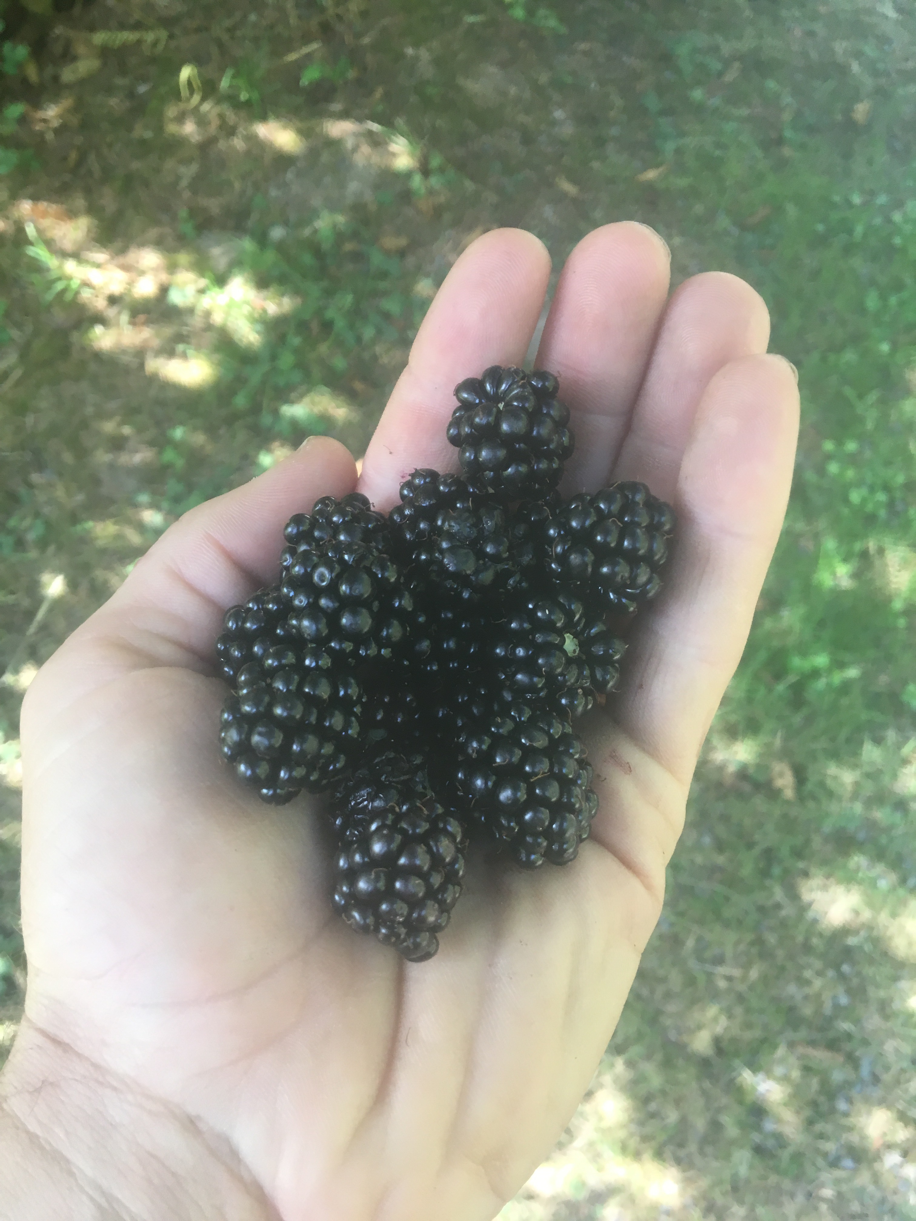 like 12 blackberries
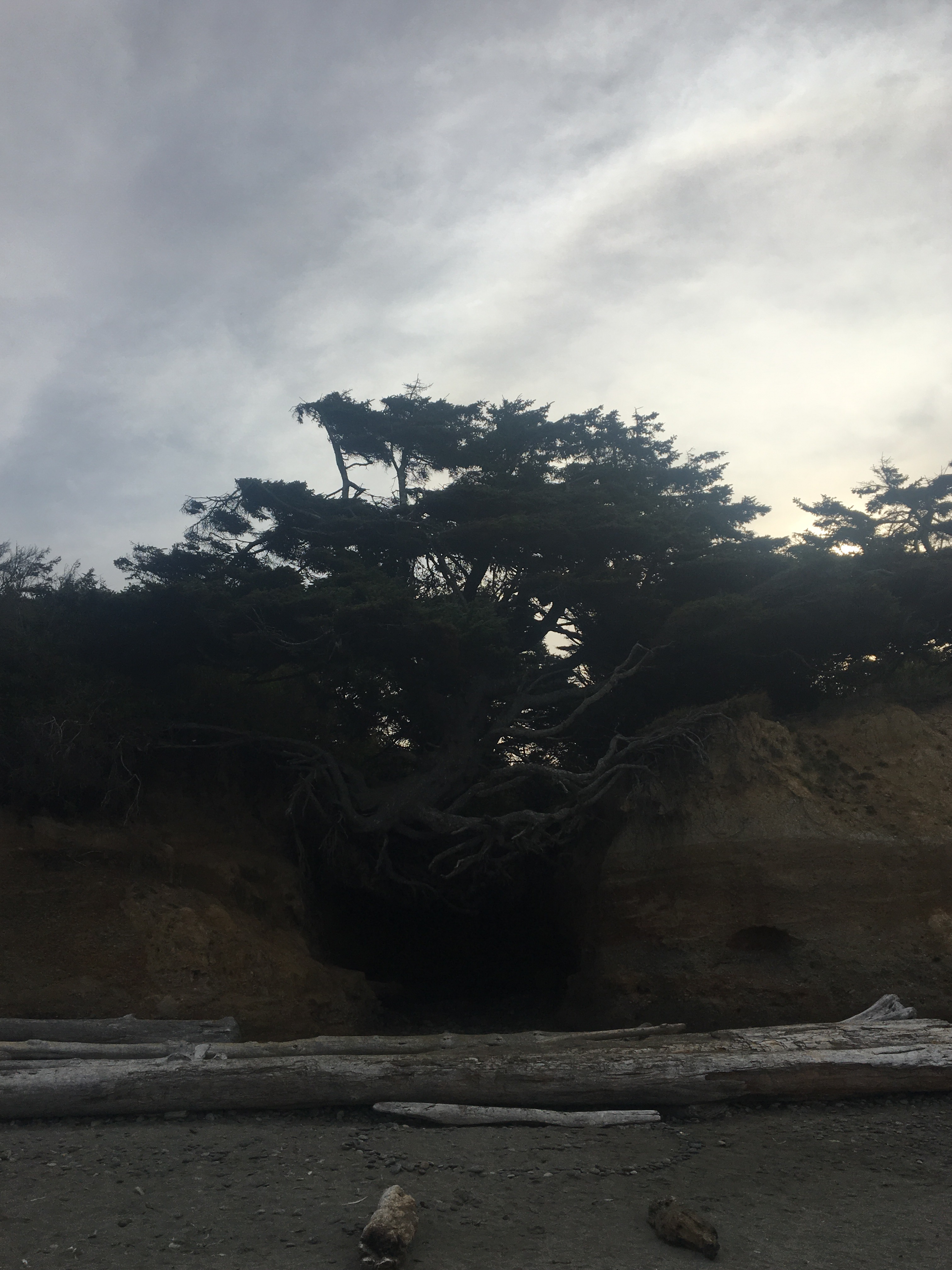

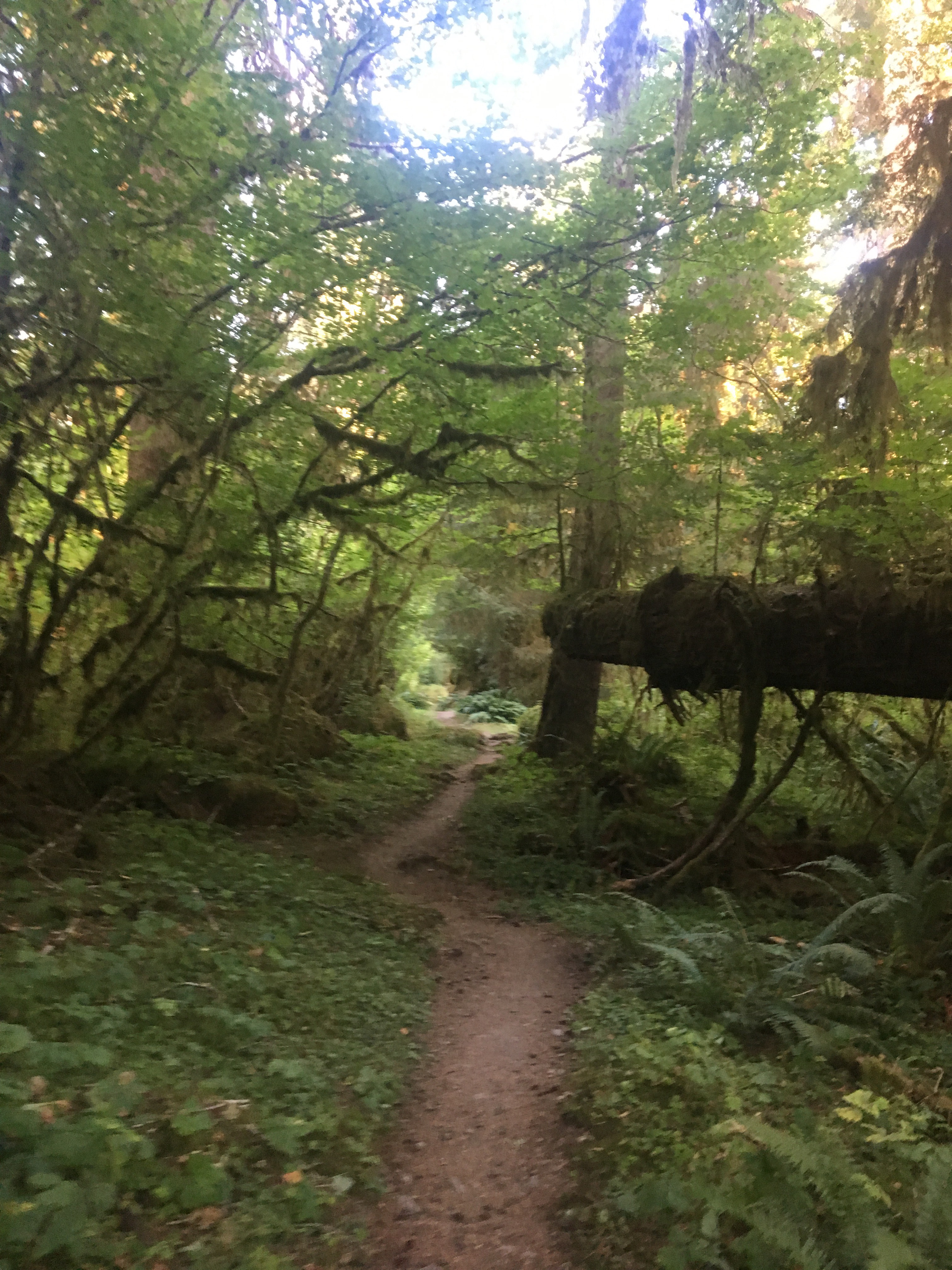

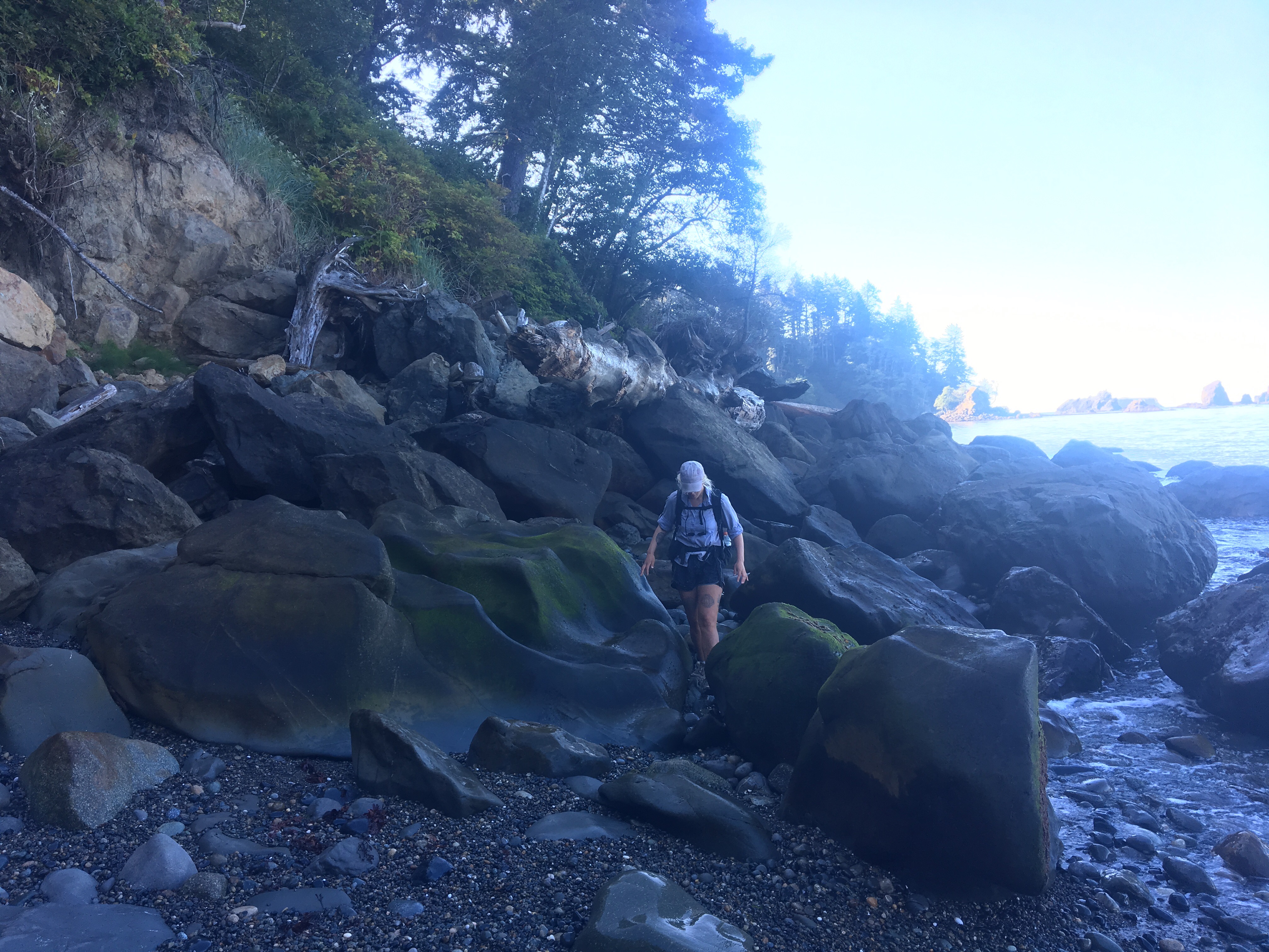
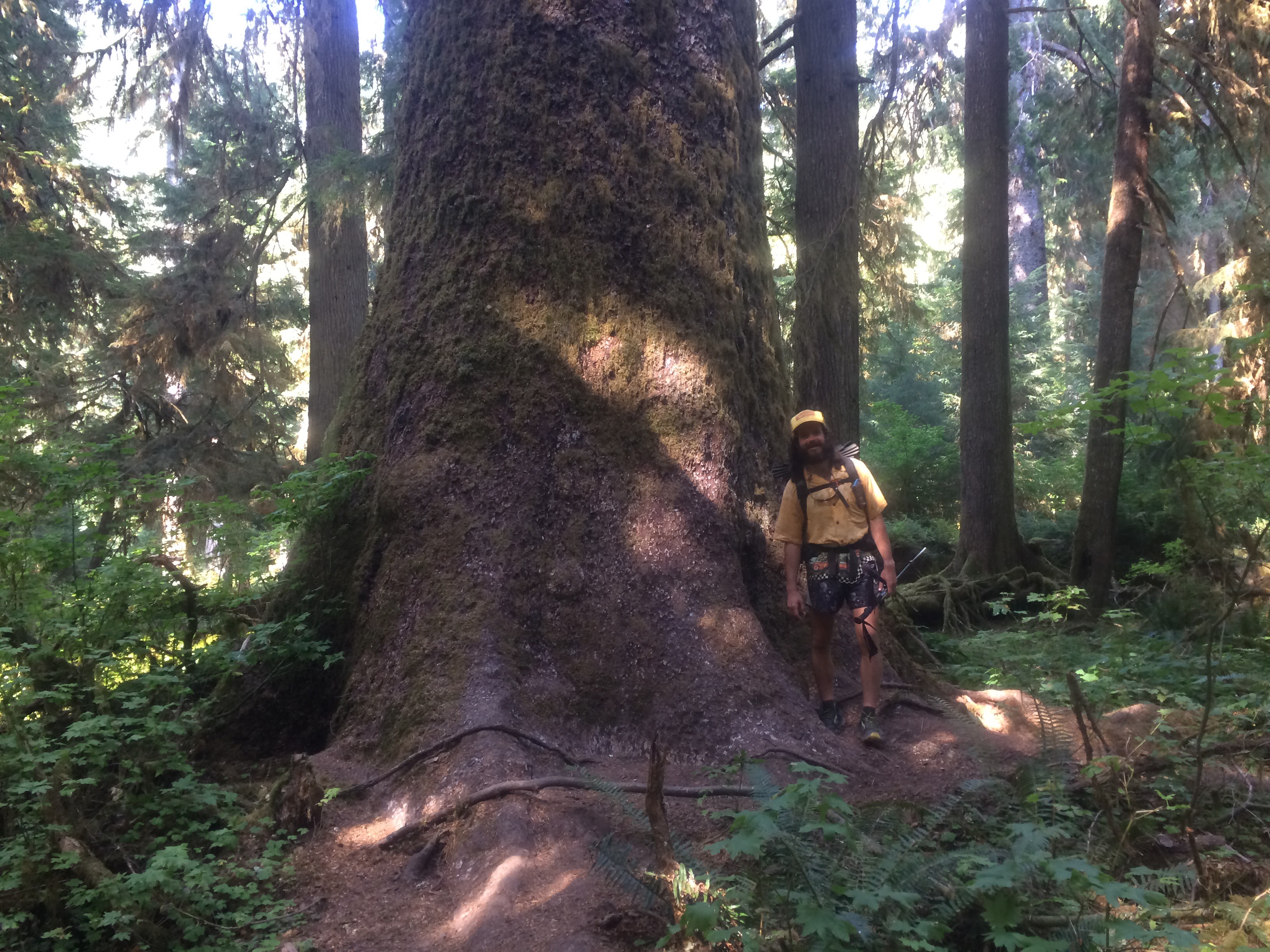
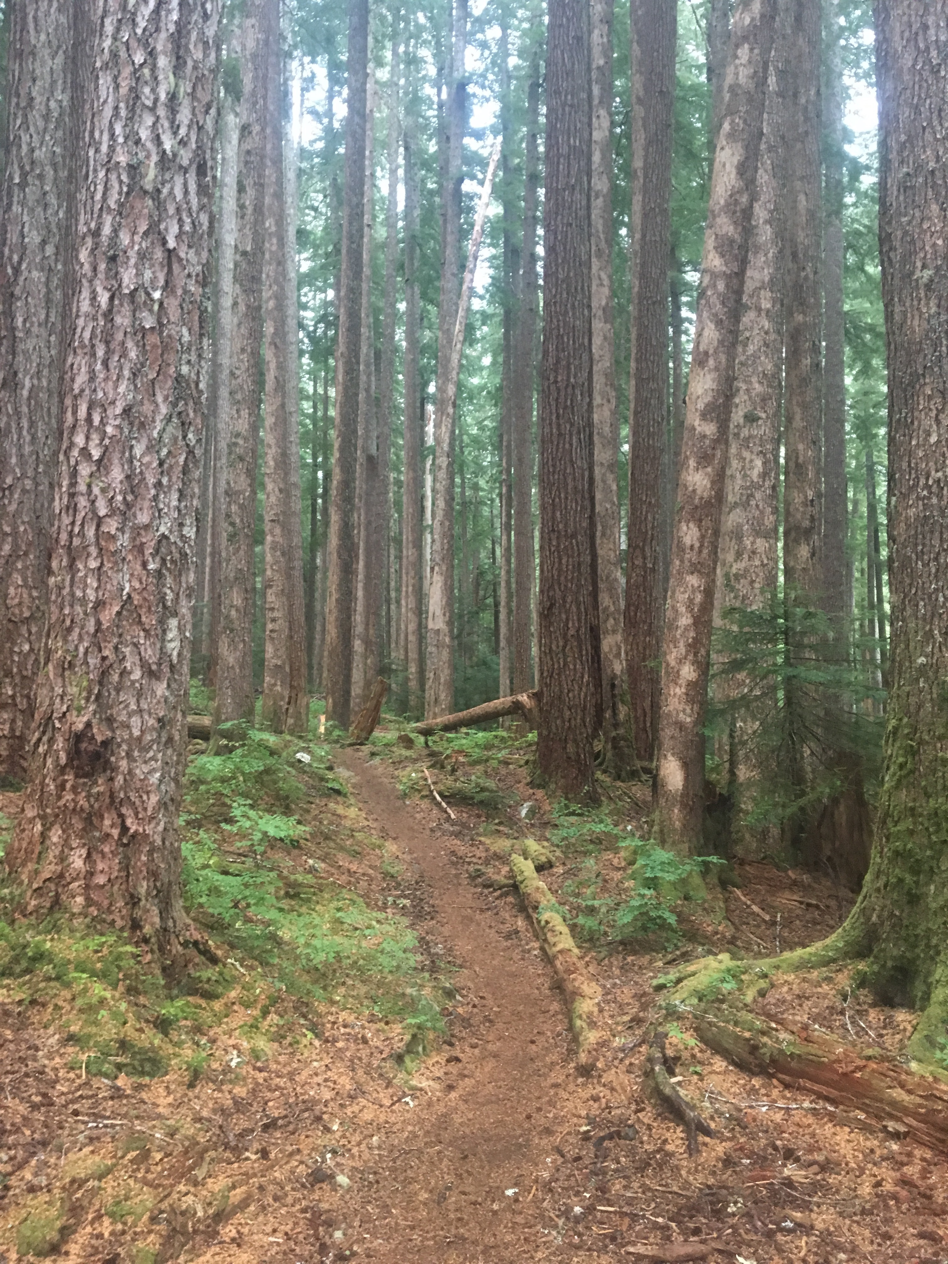
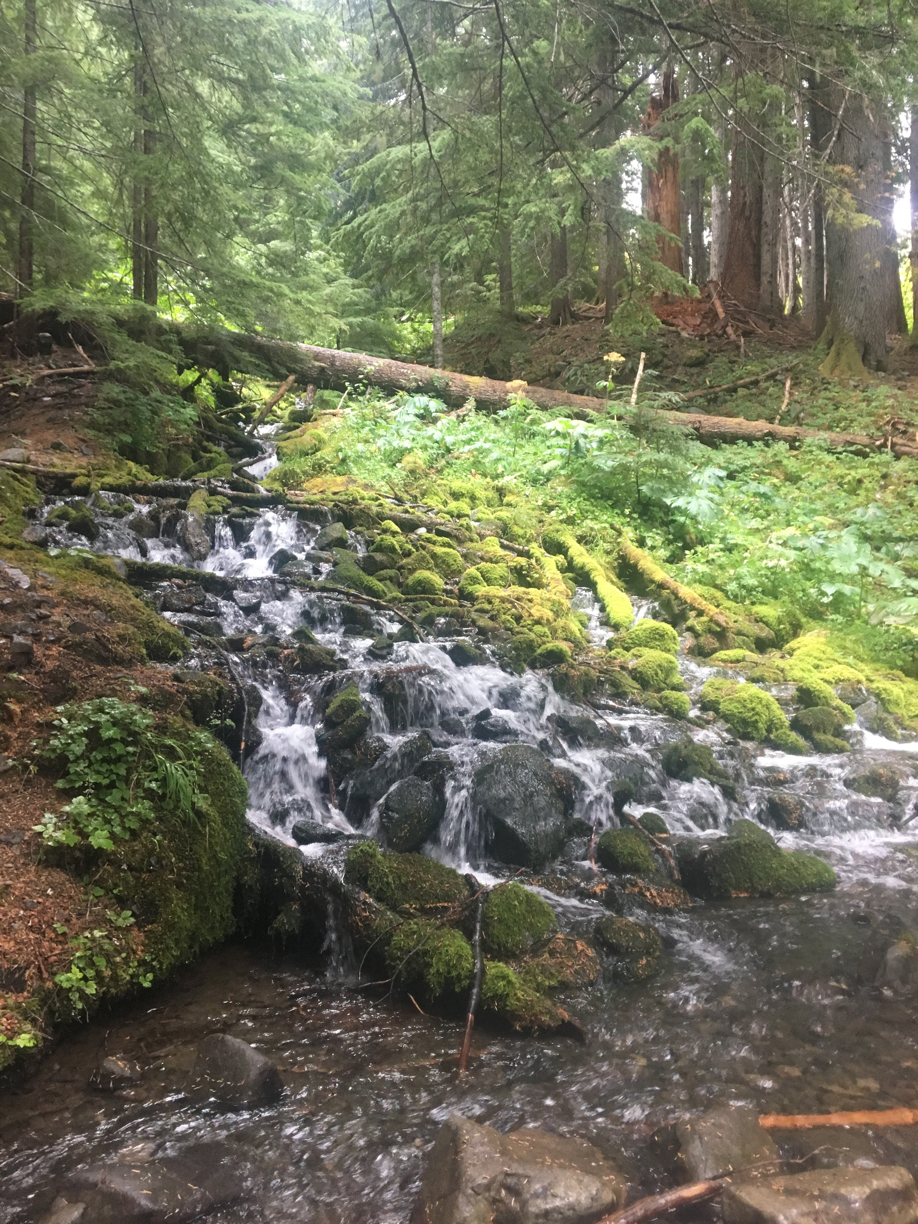
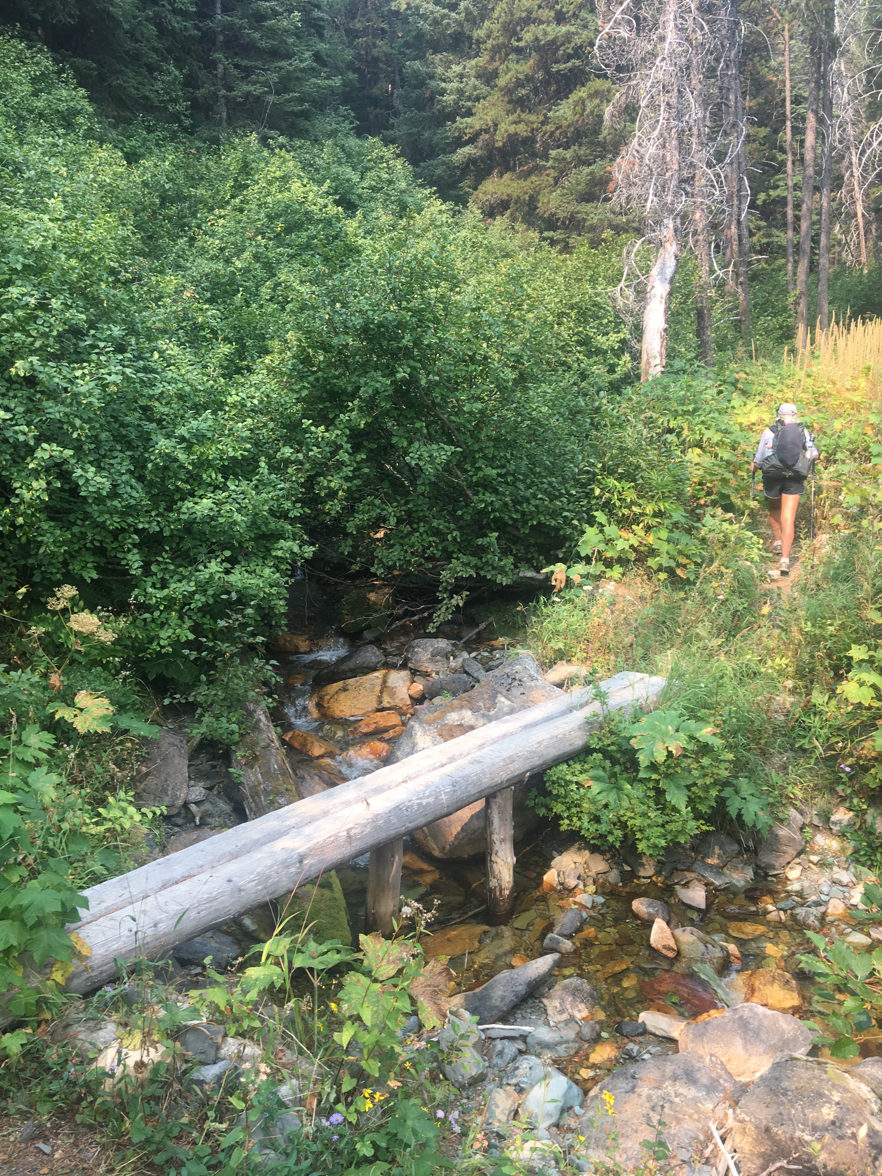
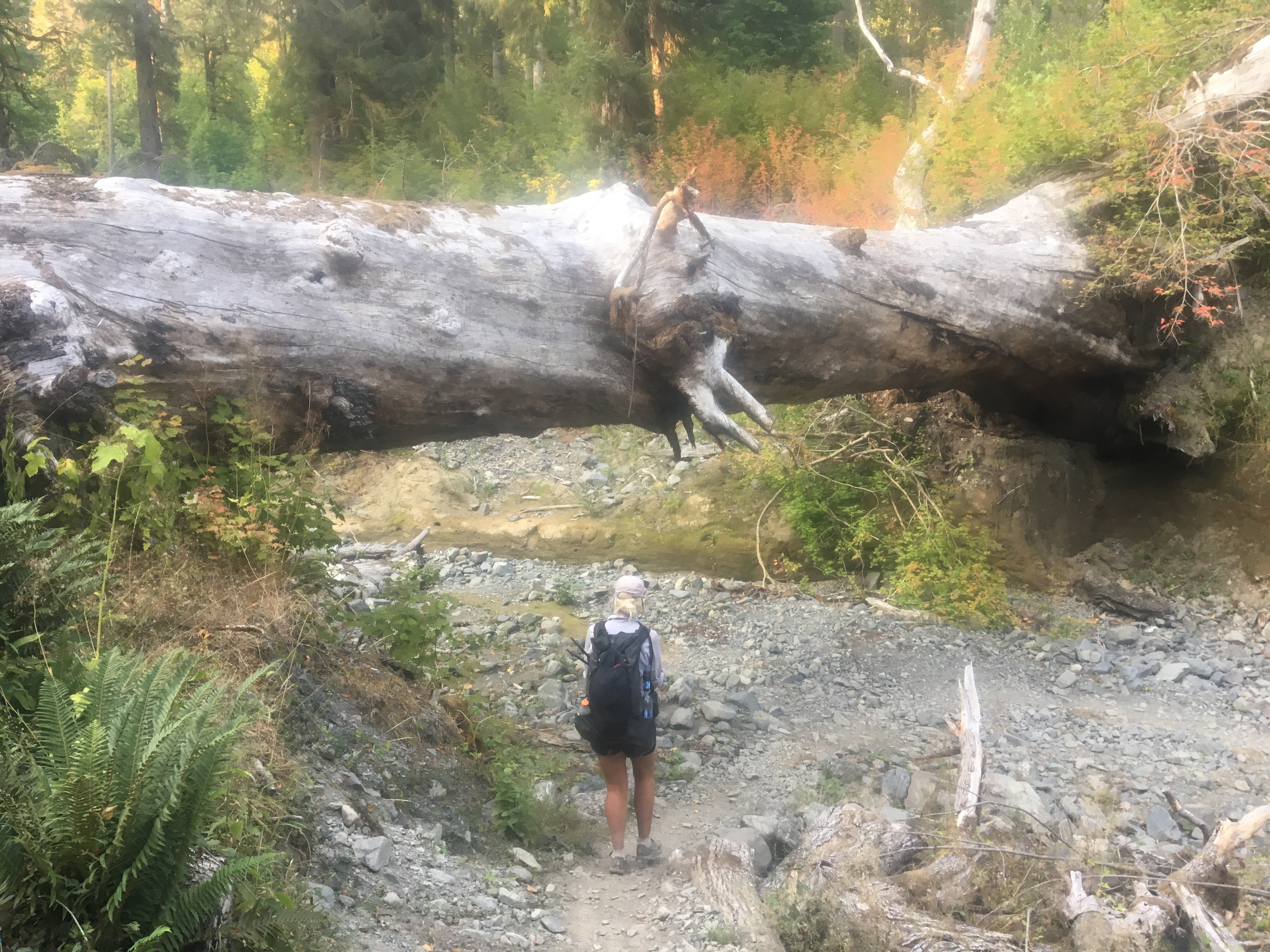 this tree fell down and became a bridge


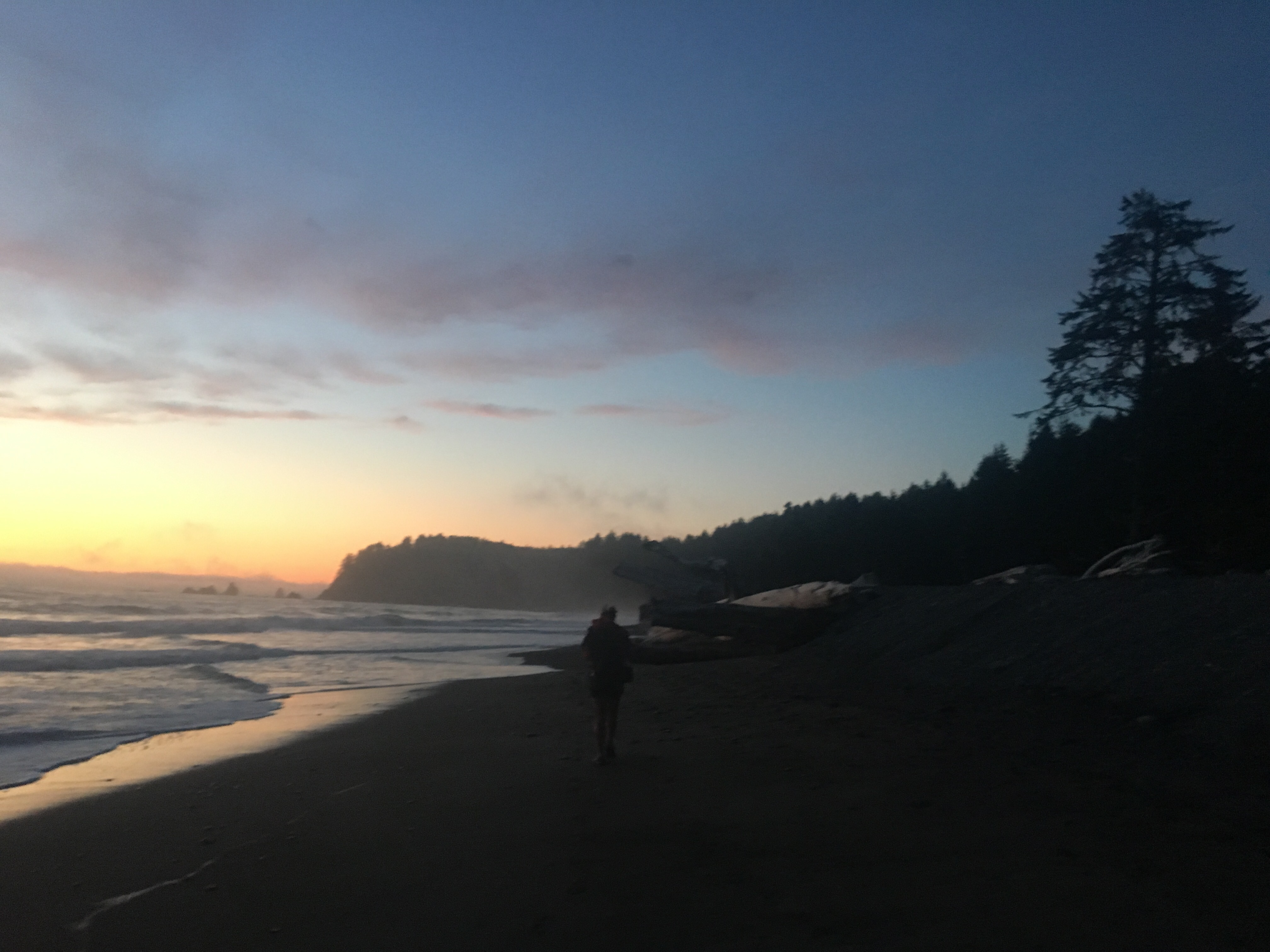
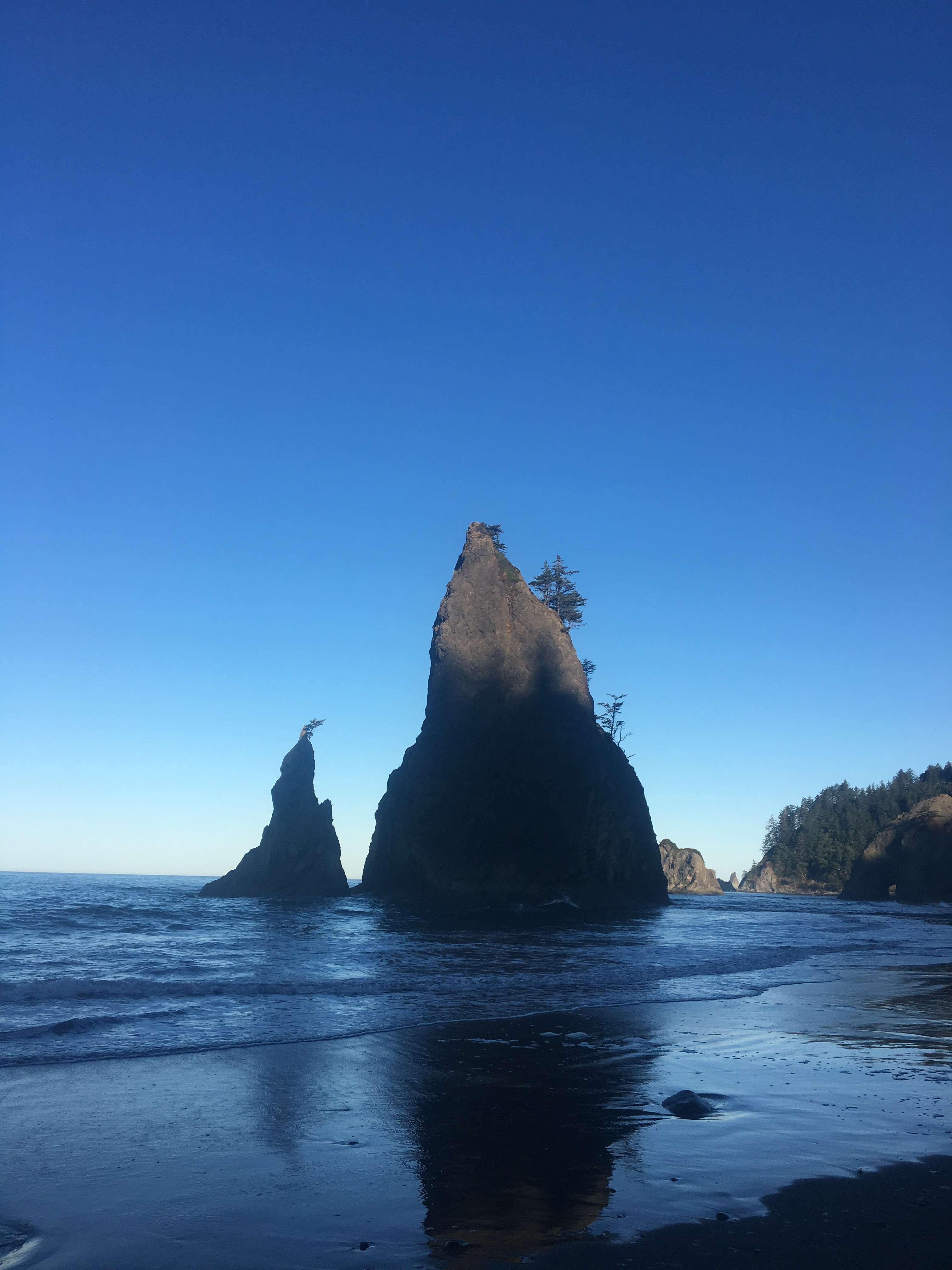
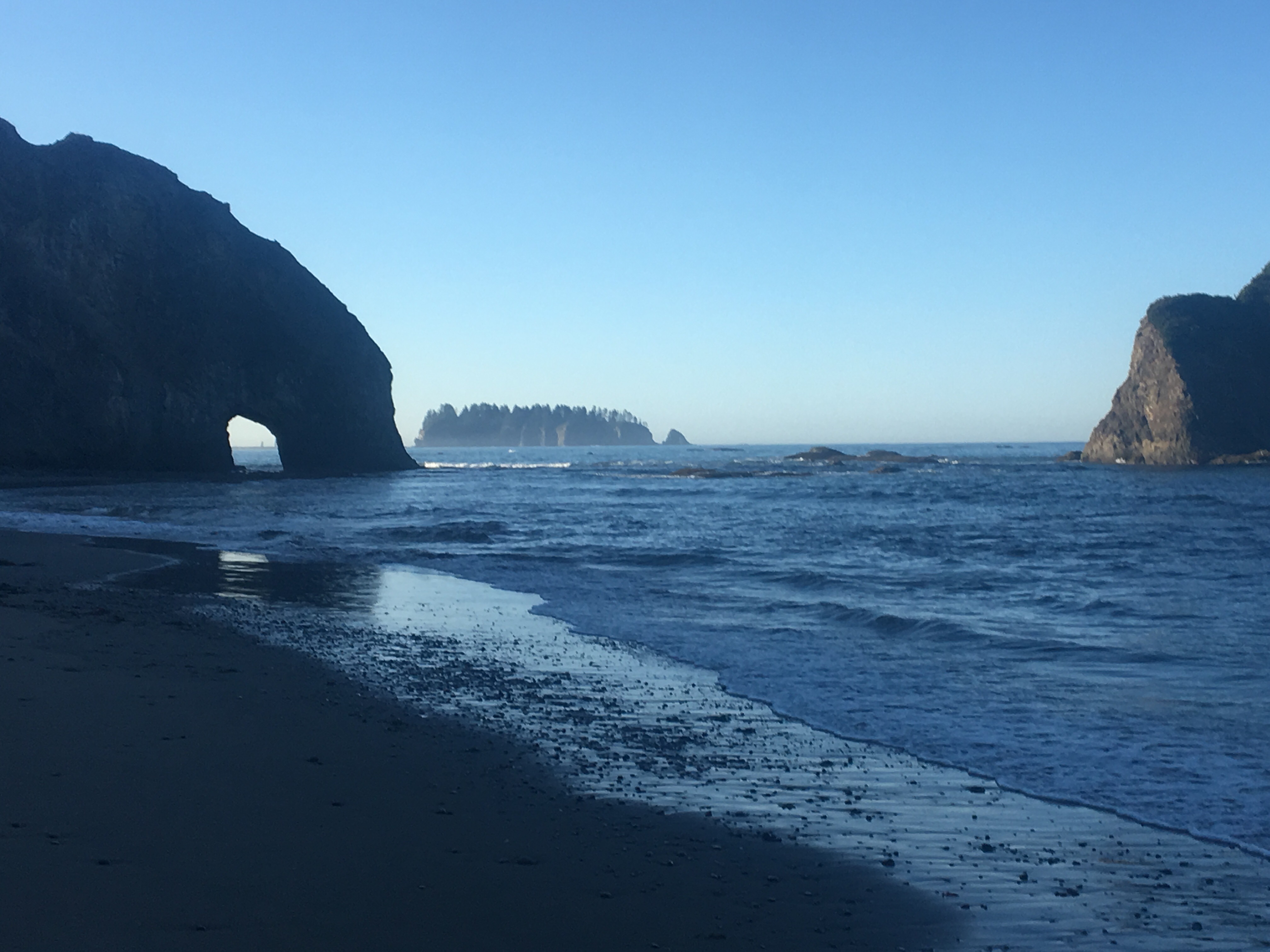
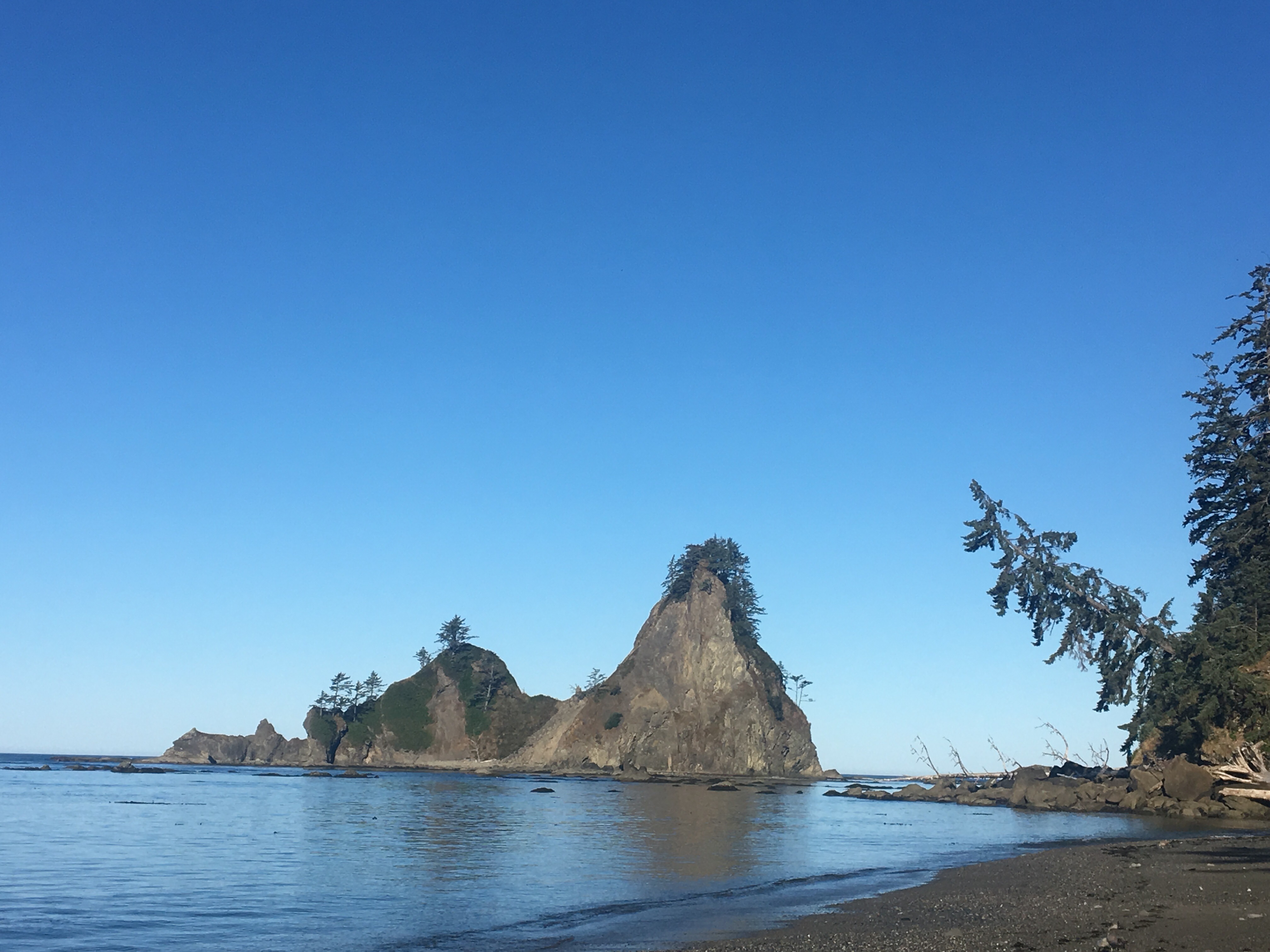
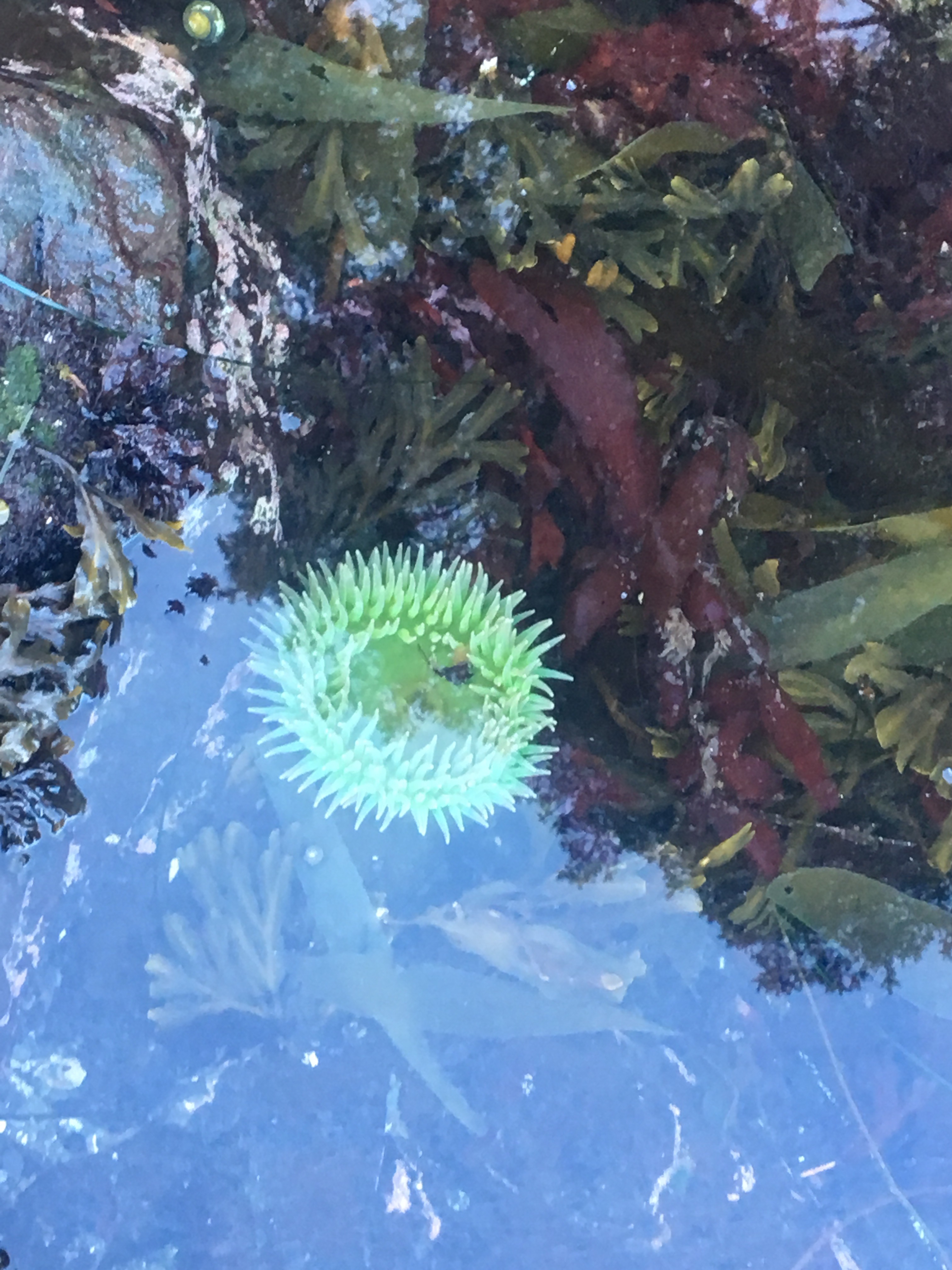
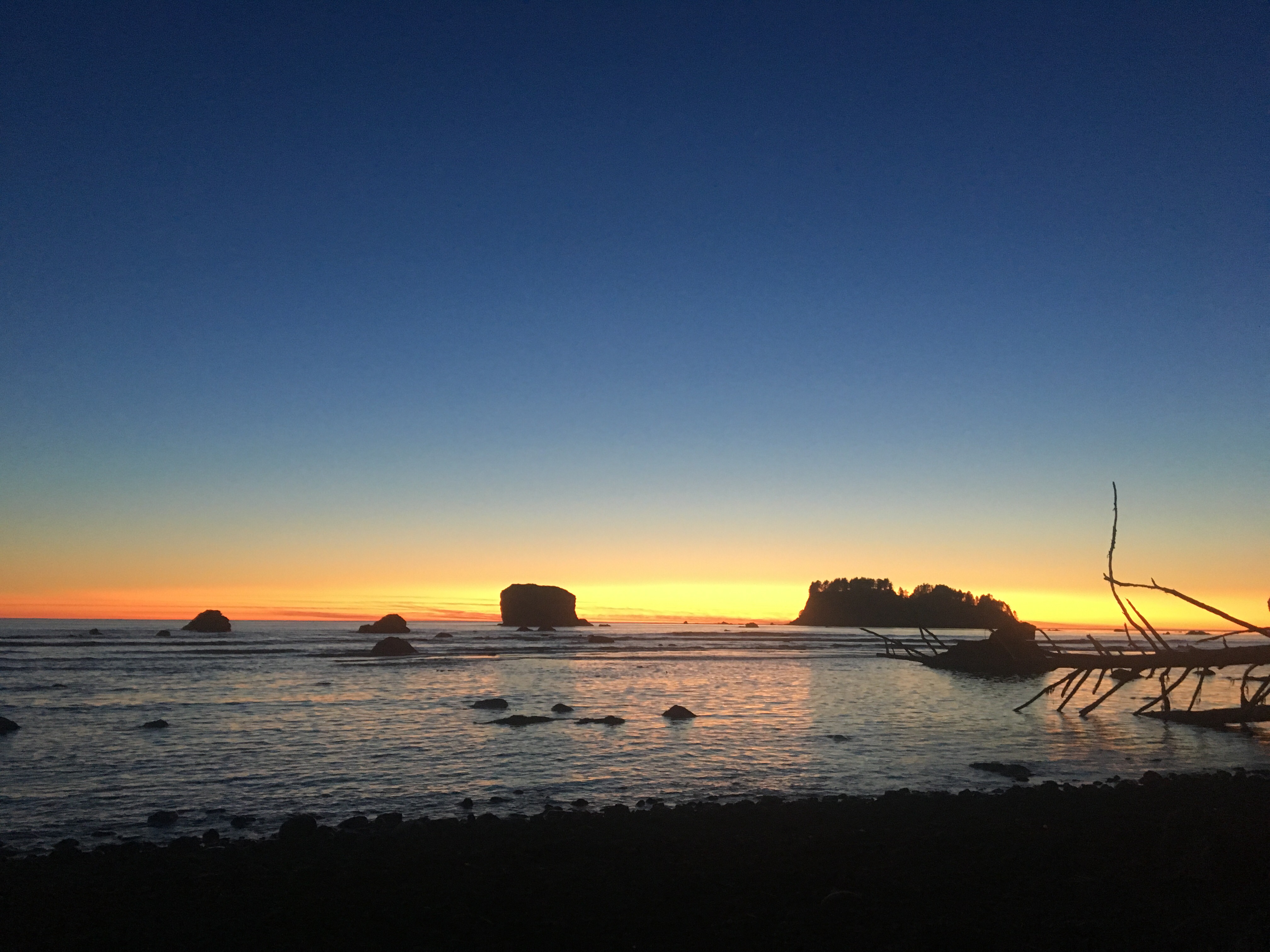
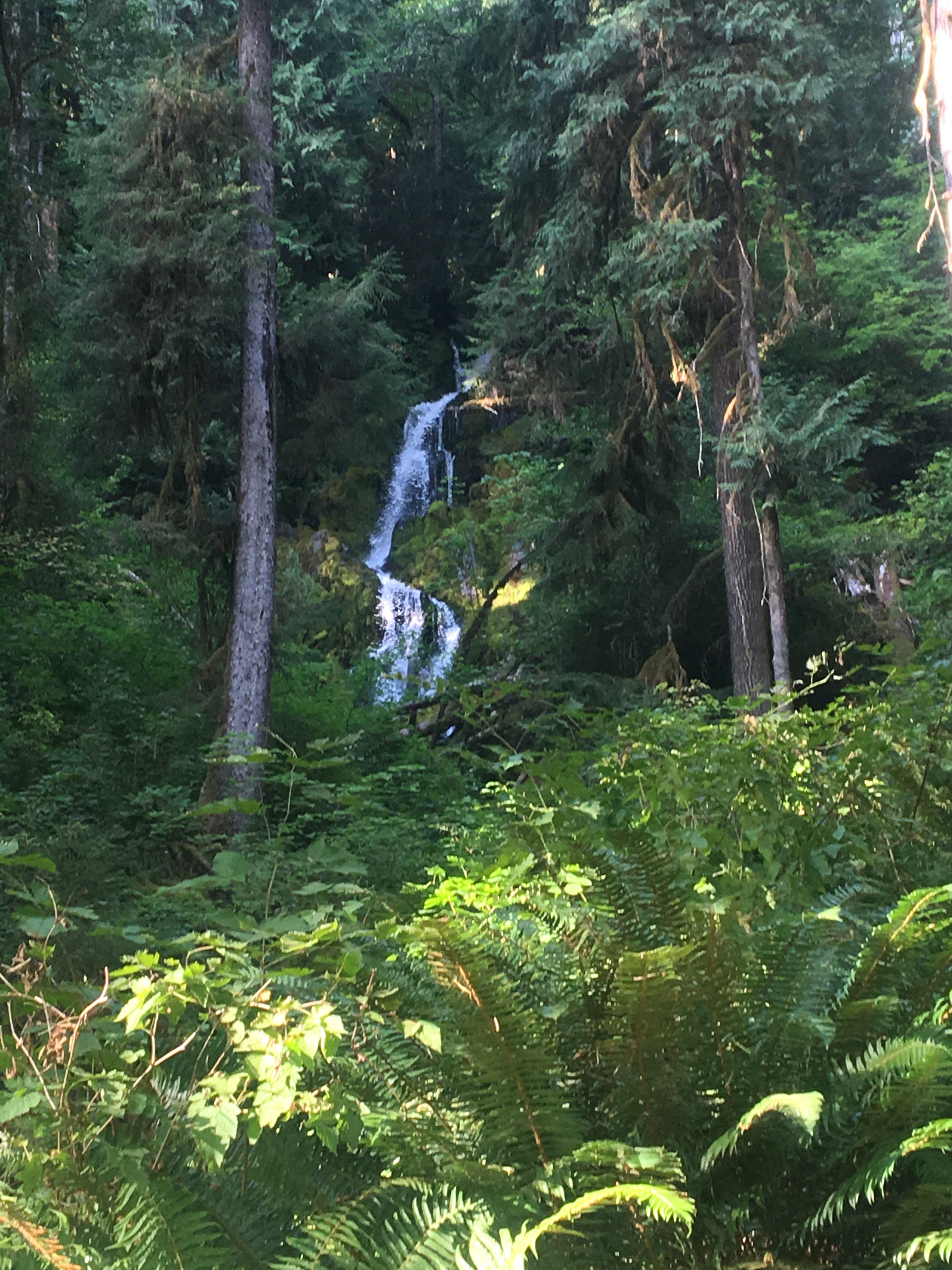
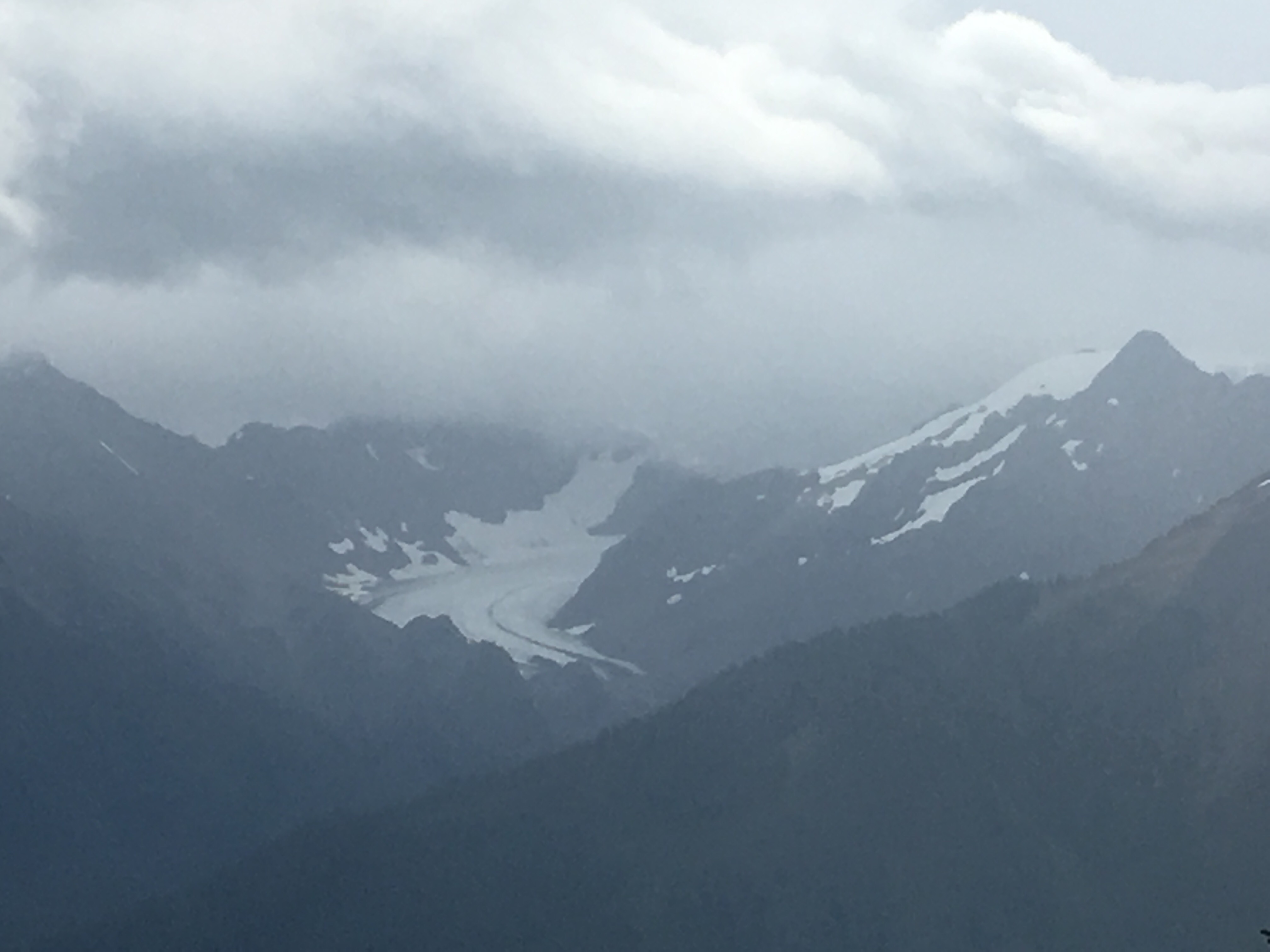
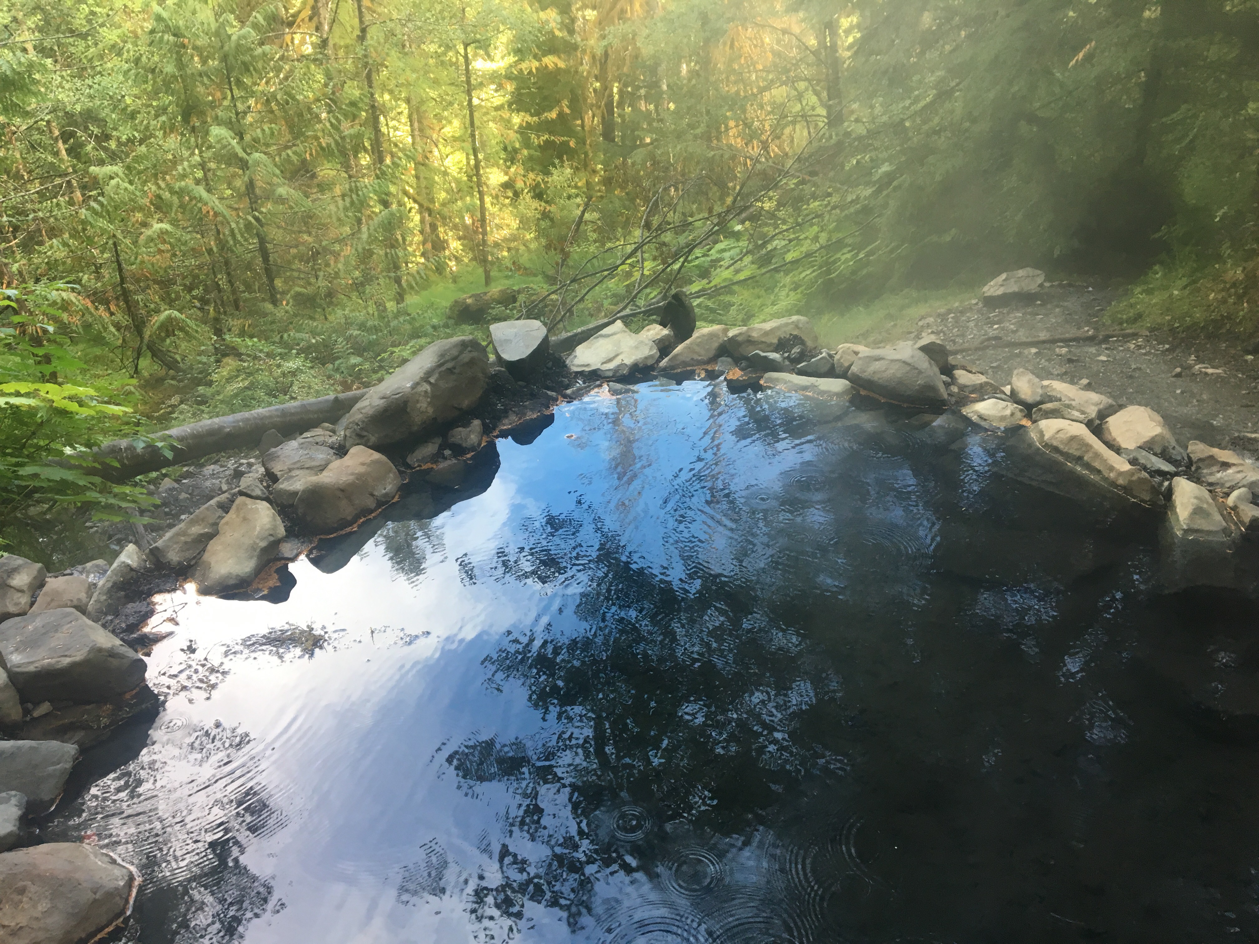
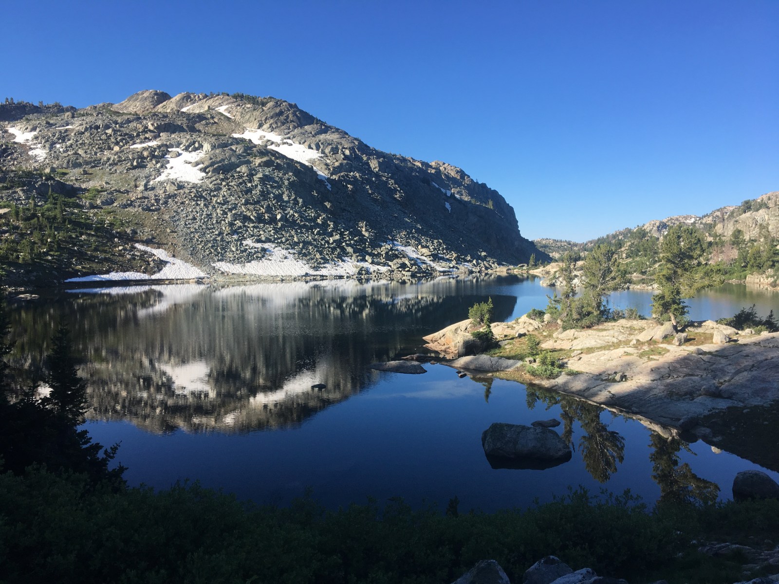
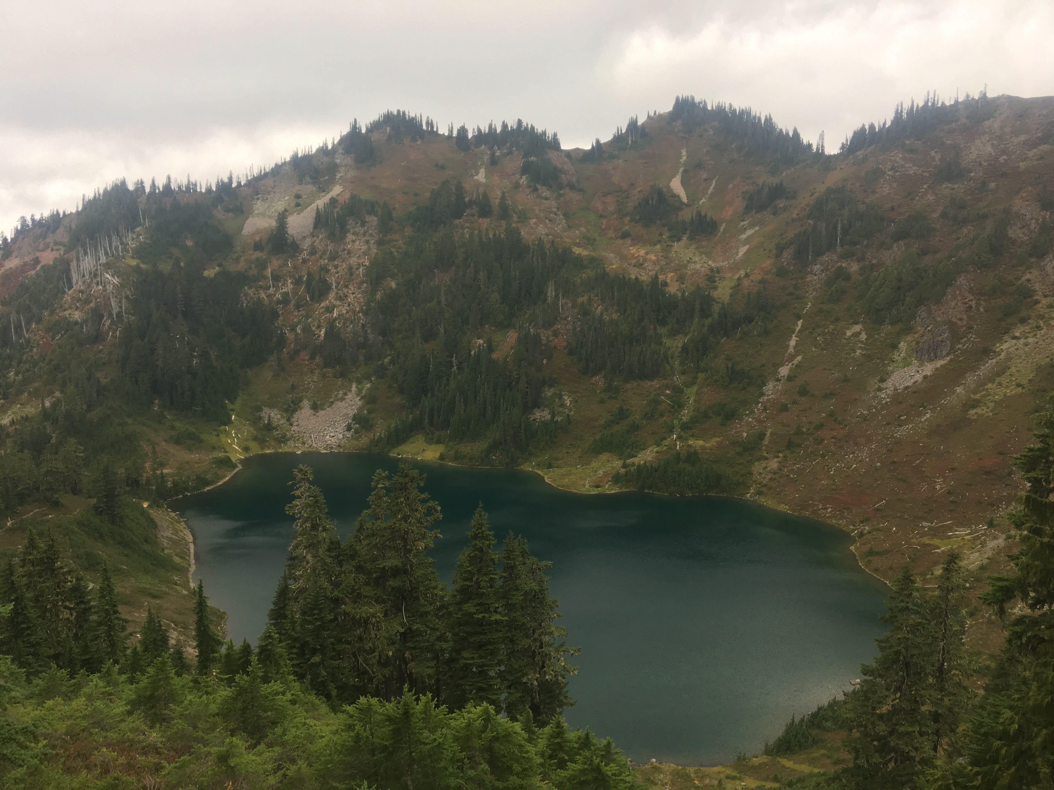 Hoh Lake


 Smoky!
 Ran into Recalculating in town and he’s become quite feral since I first met him in New Mexico, his shoes look like they got struck by lightning
  This license plate has my name on it
 A couple of bros just chilling out
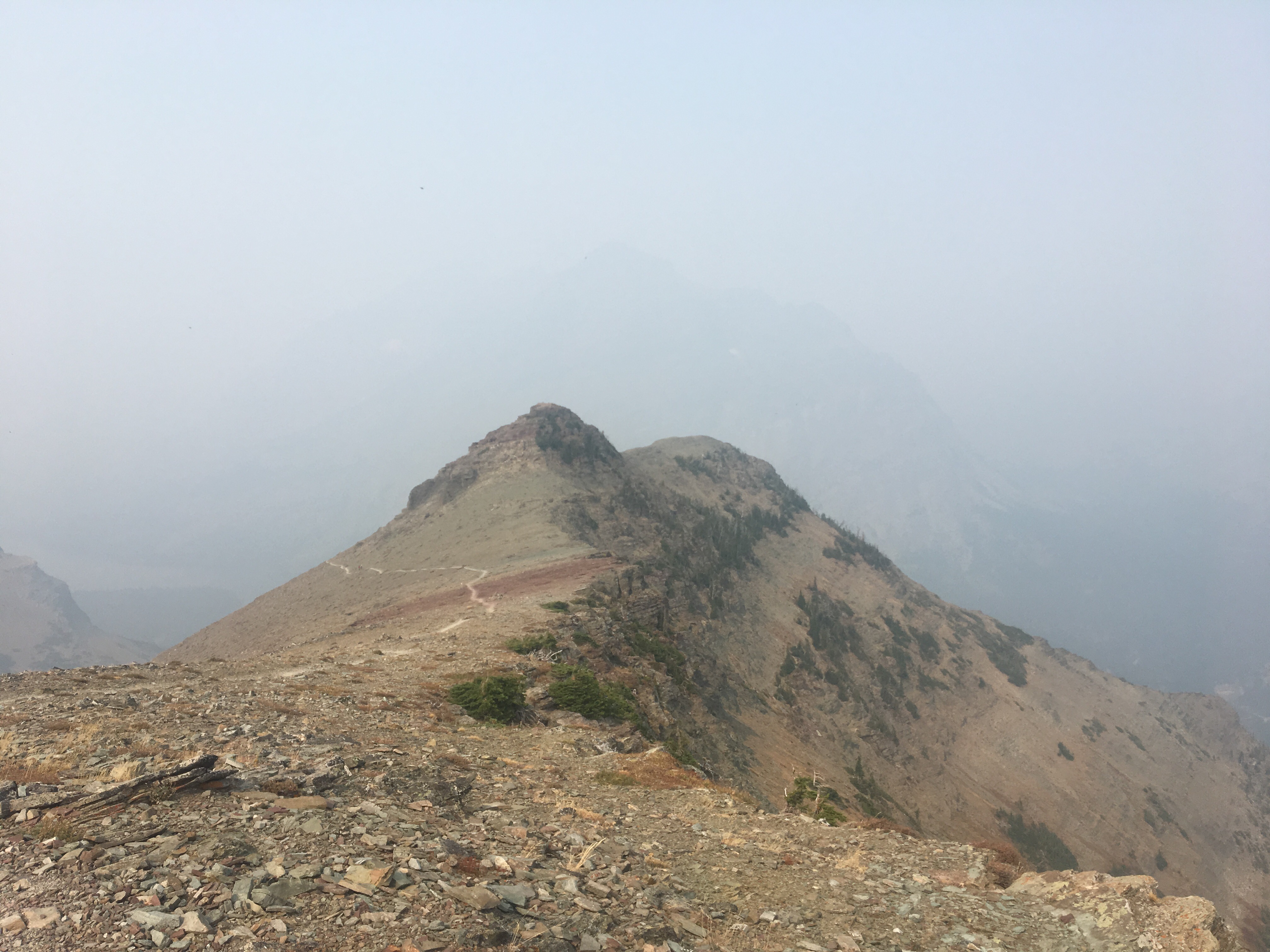


 Triple Divide Pass
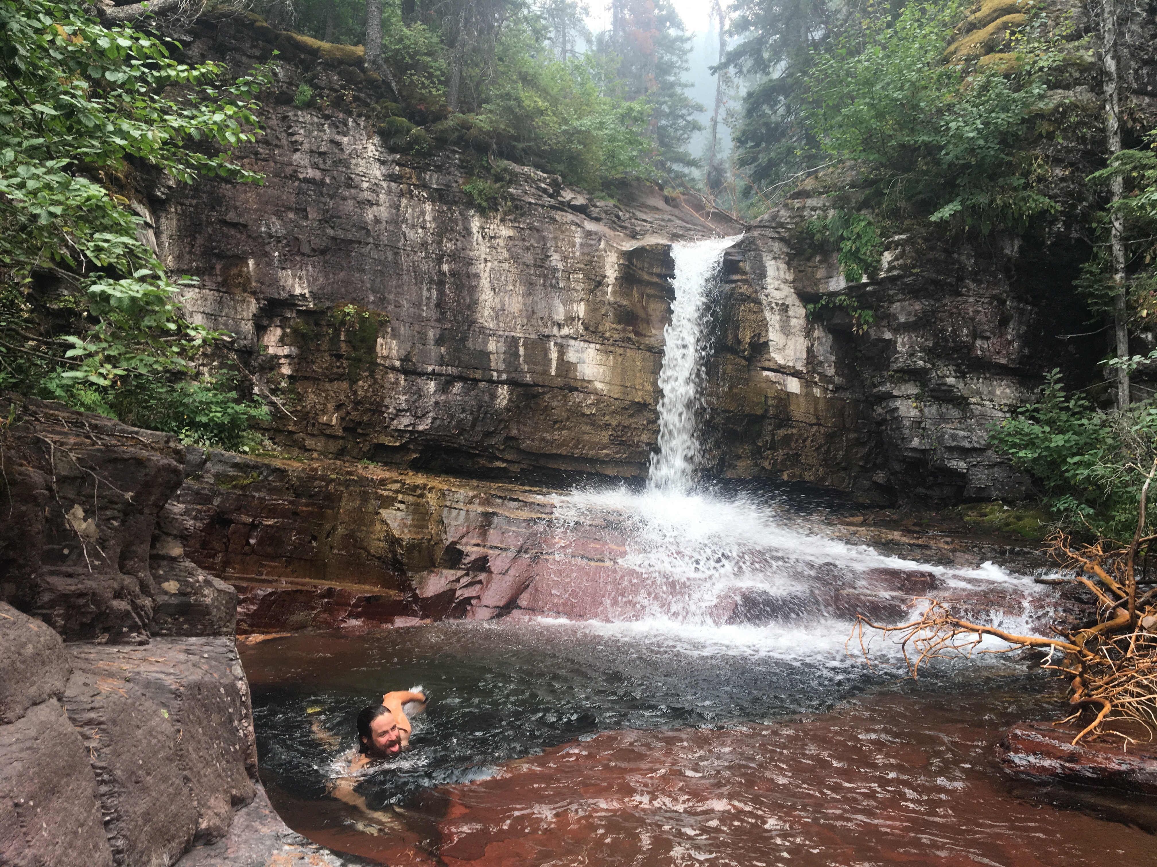
 Queen B. Macklemore
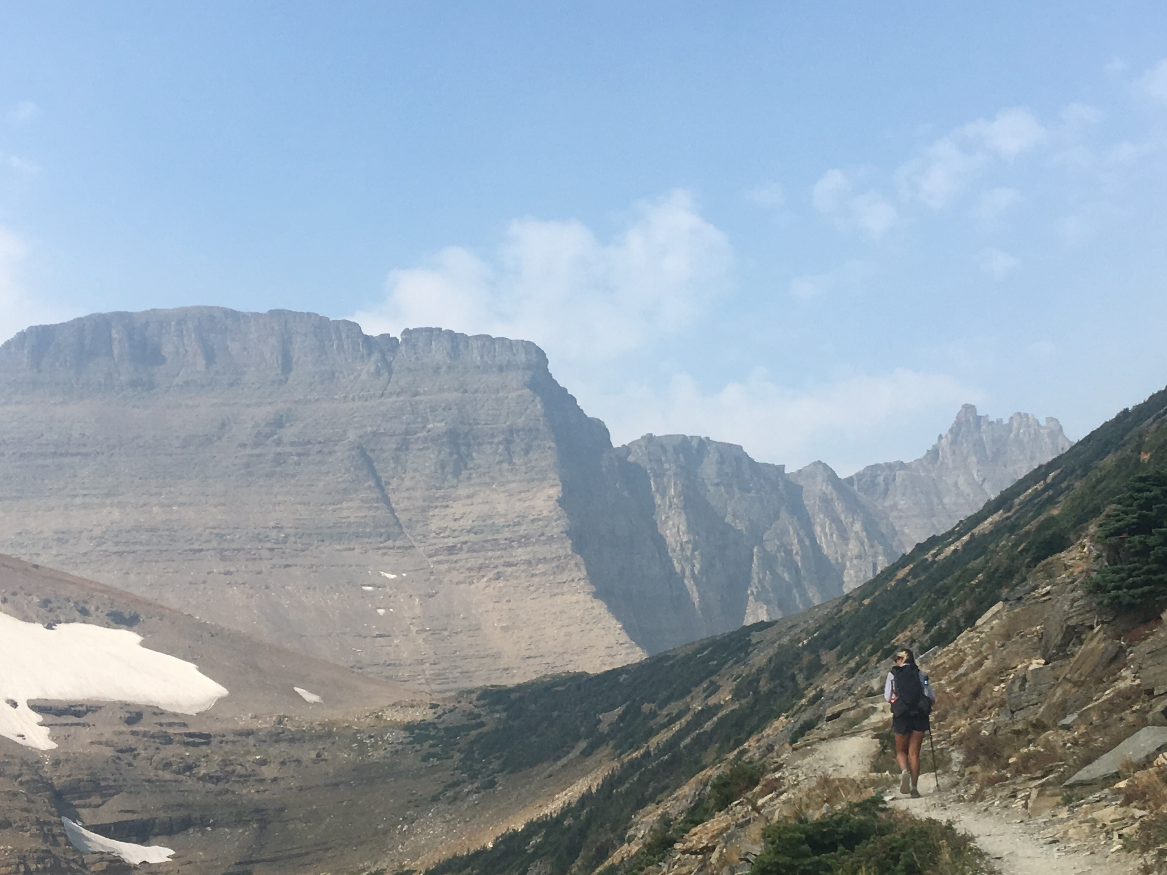


 Breaking camp on our last morning
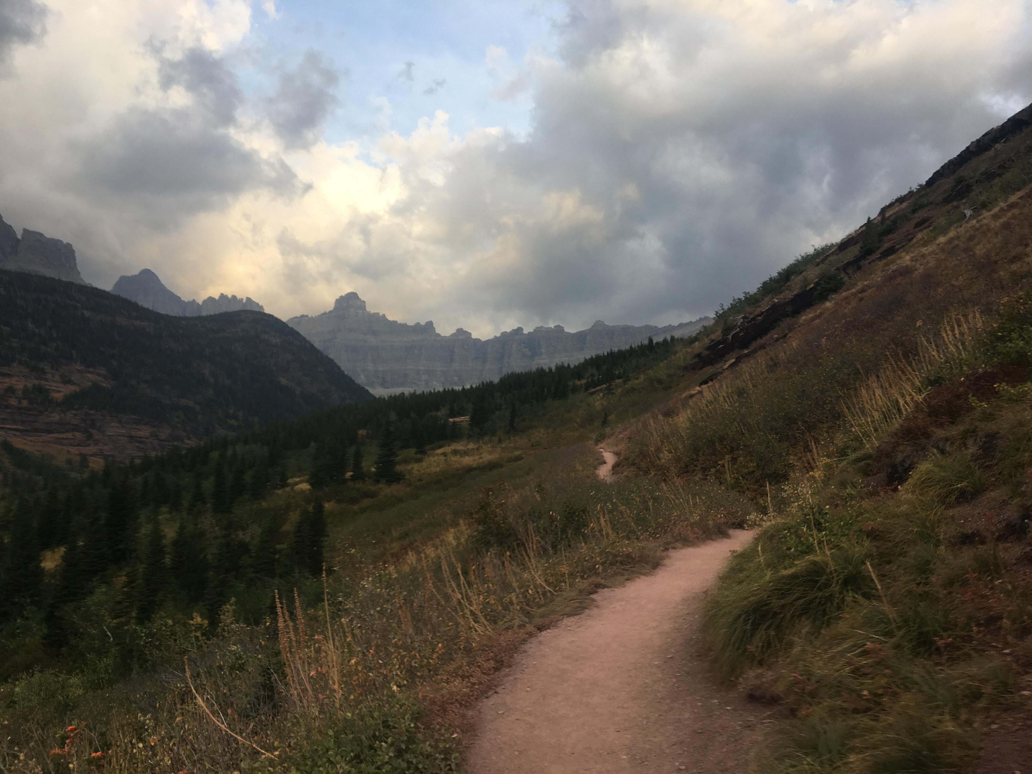


 Dawn Mist Falls
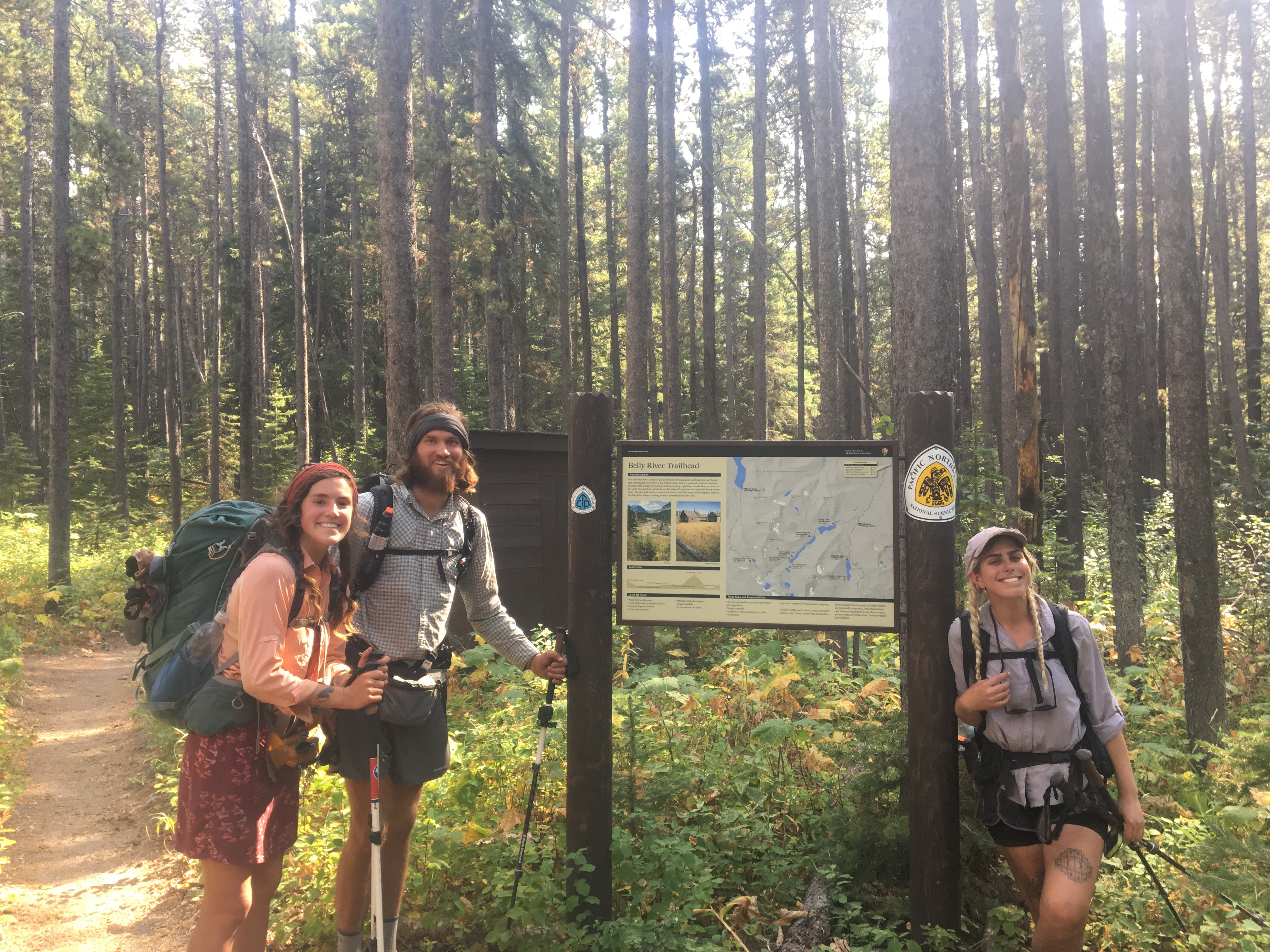


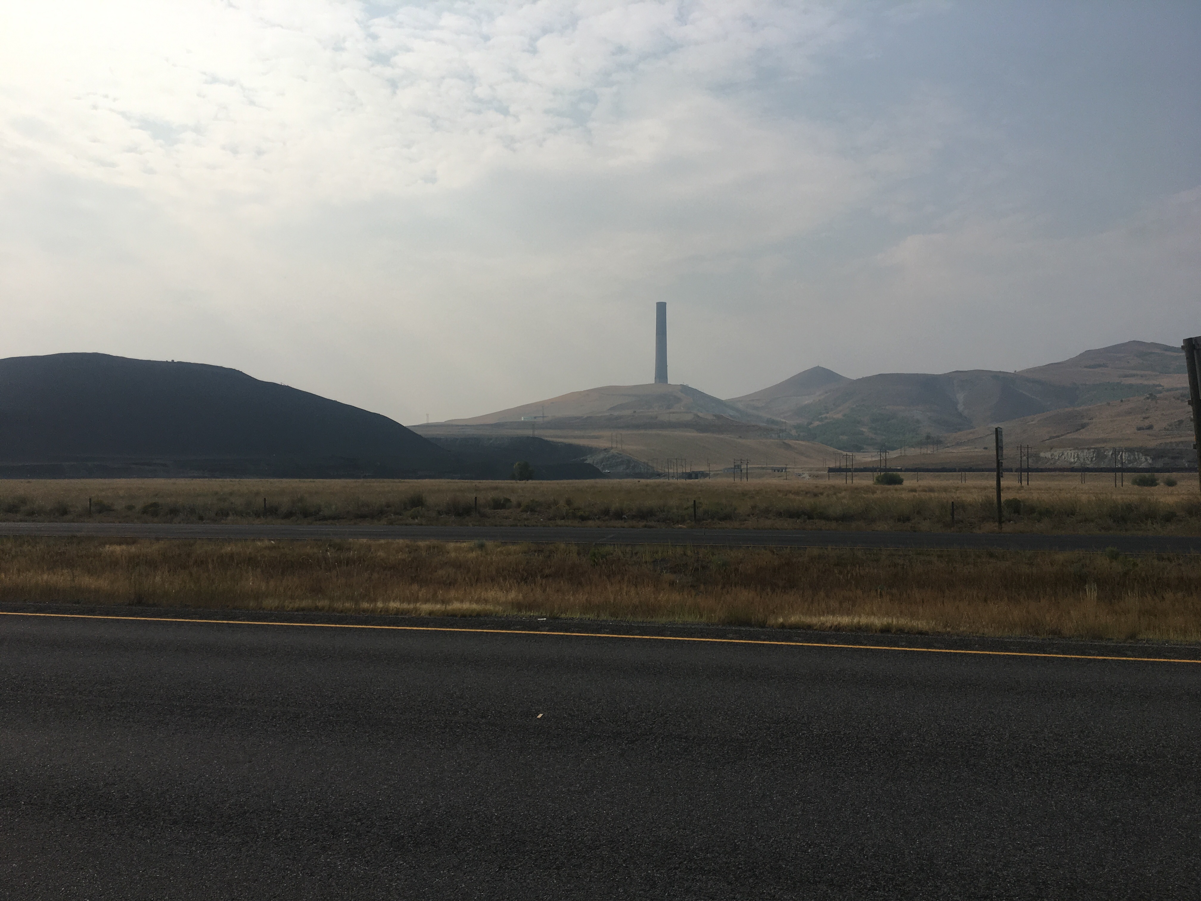

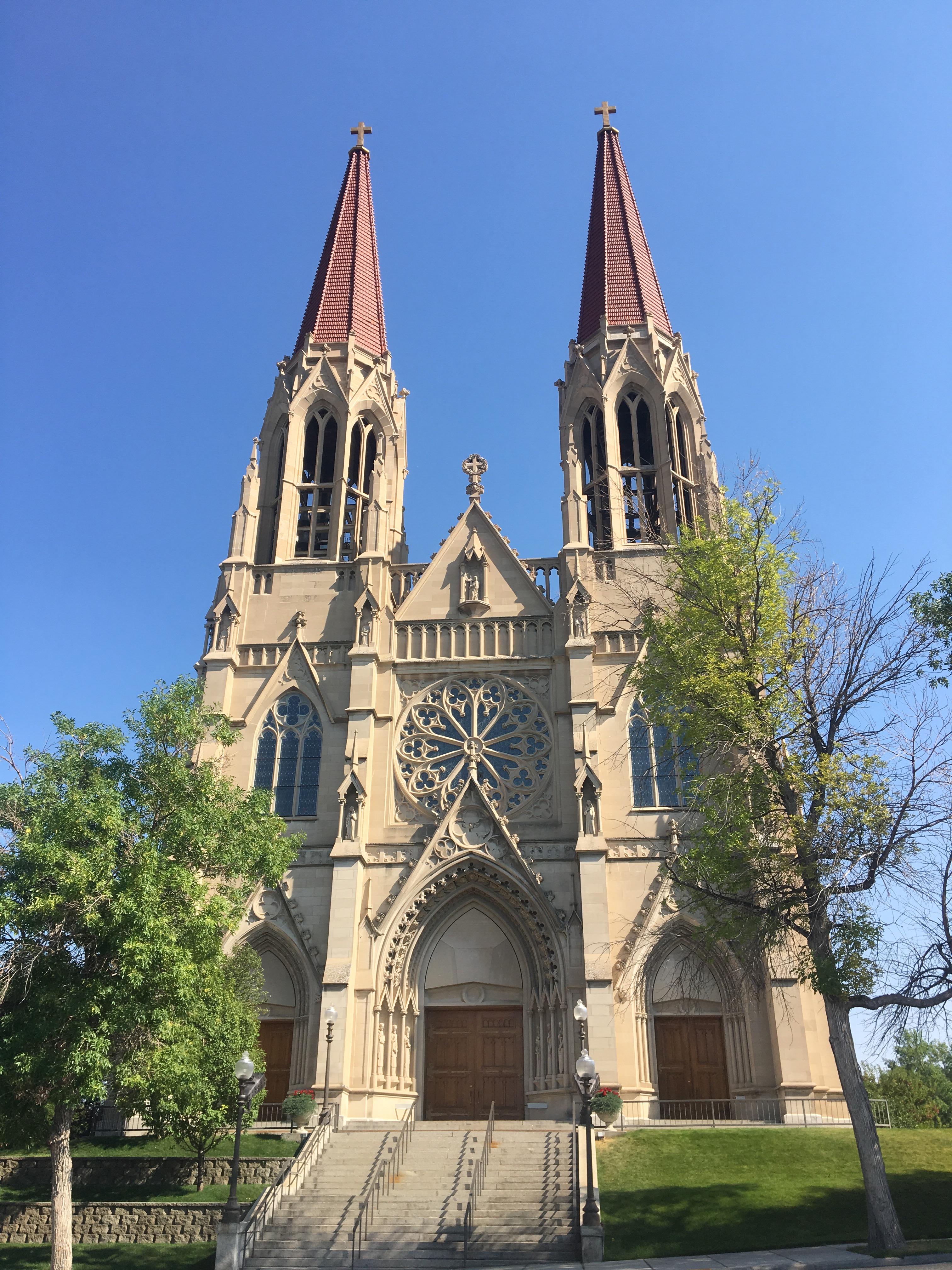
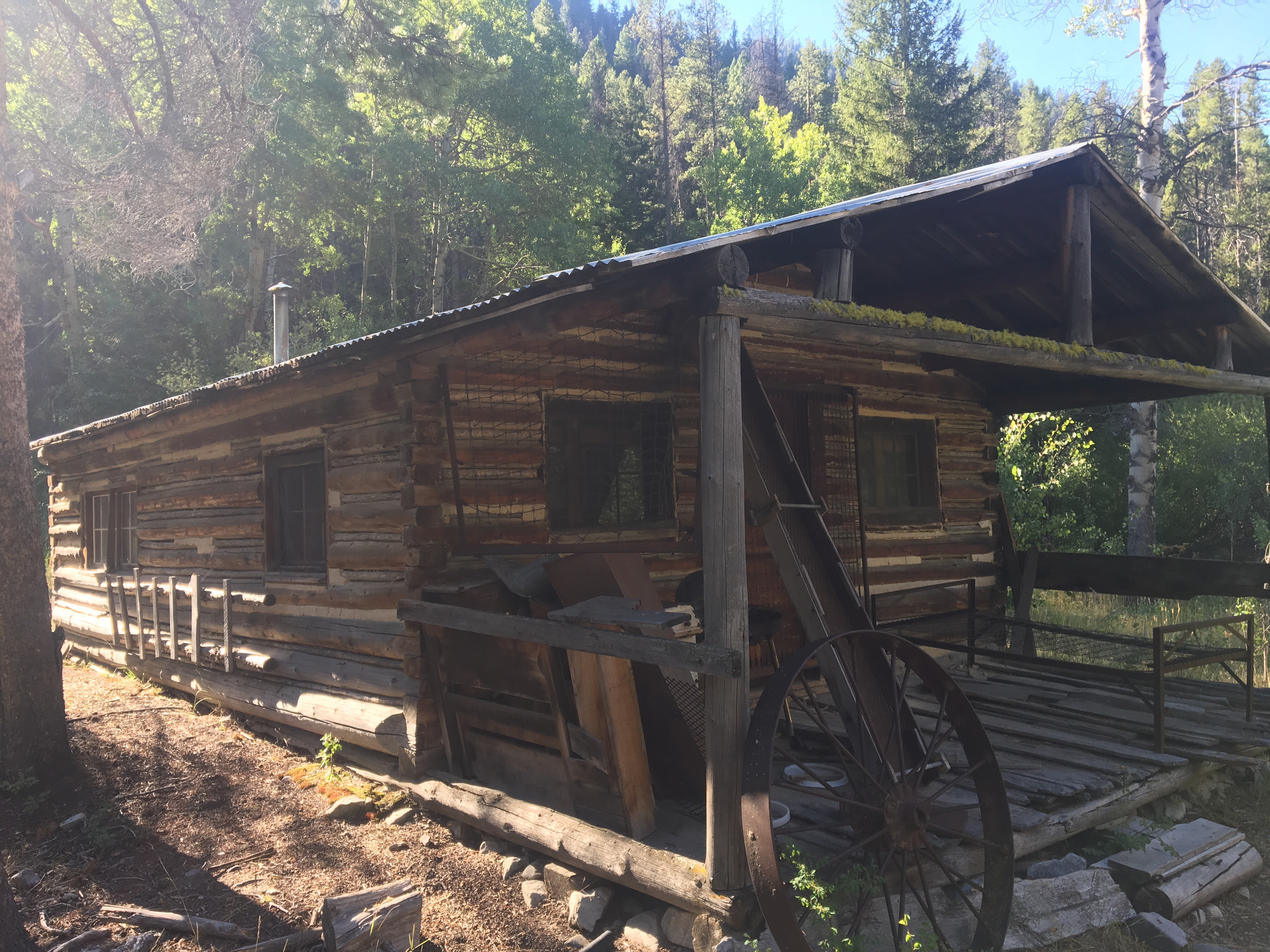
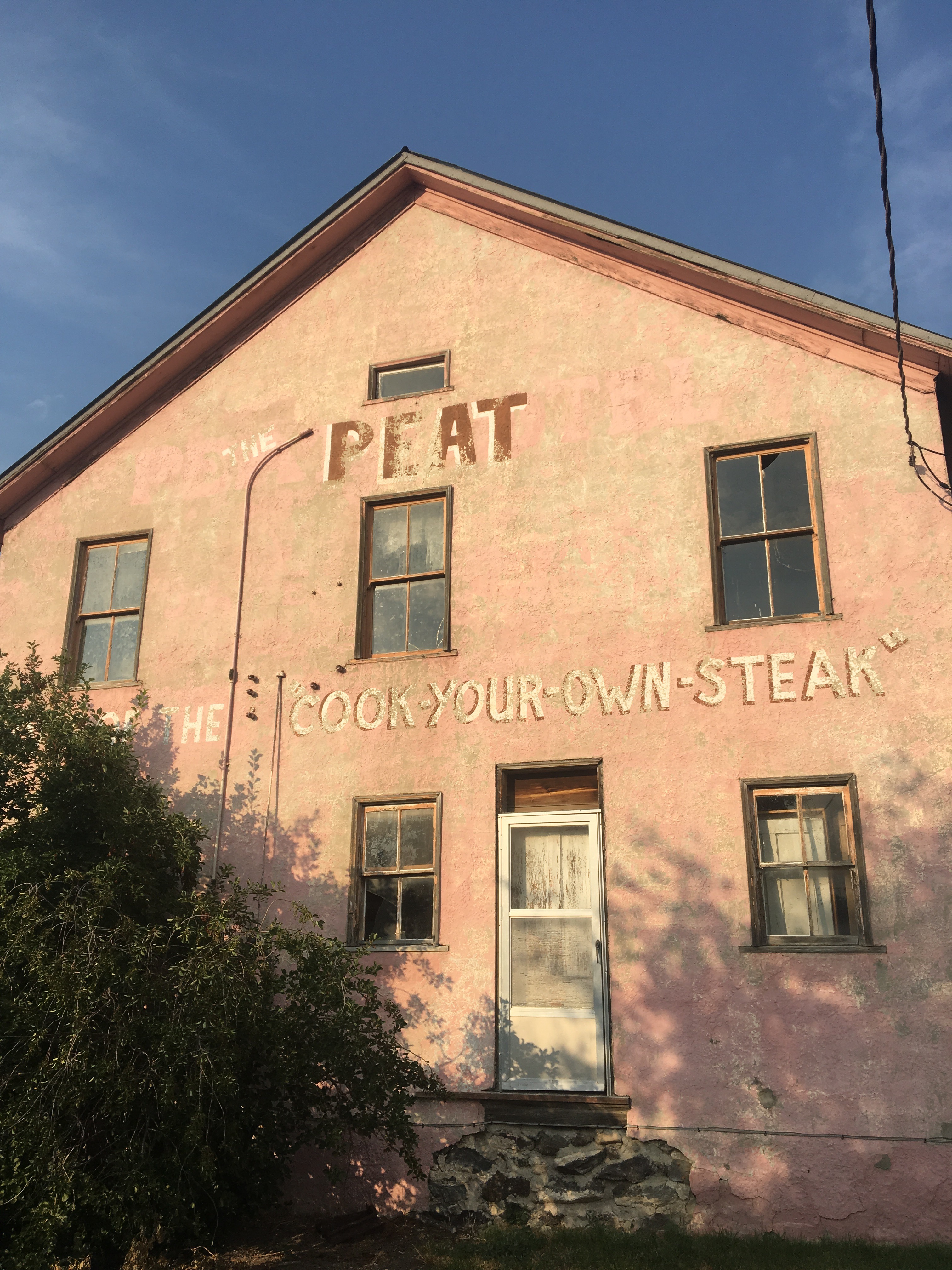
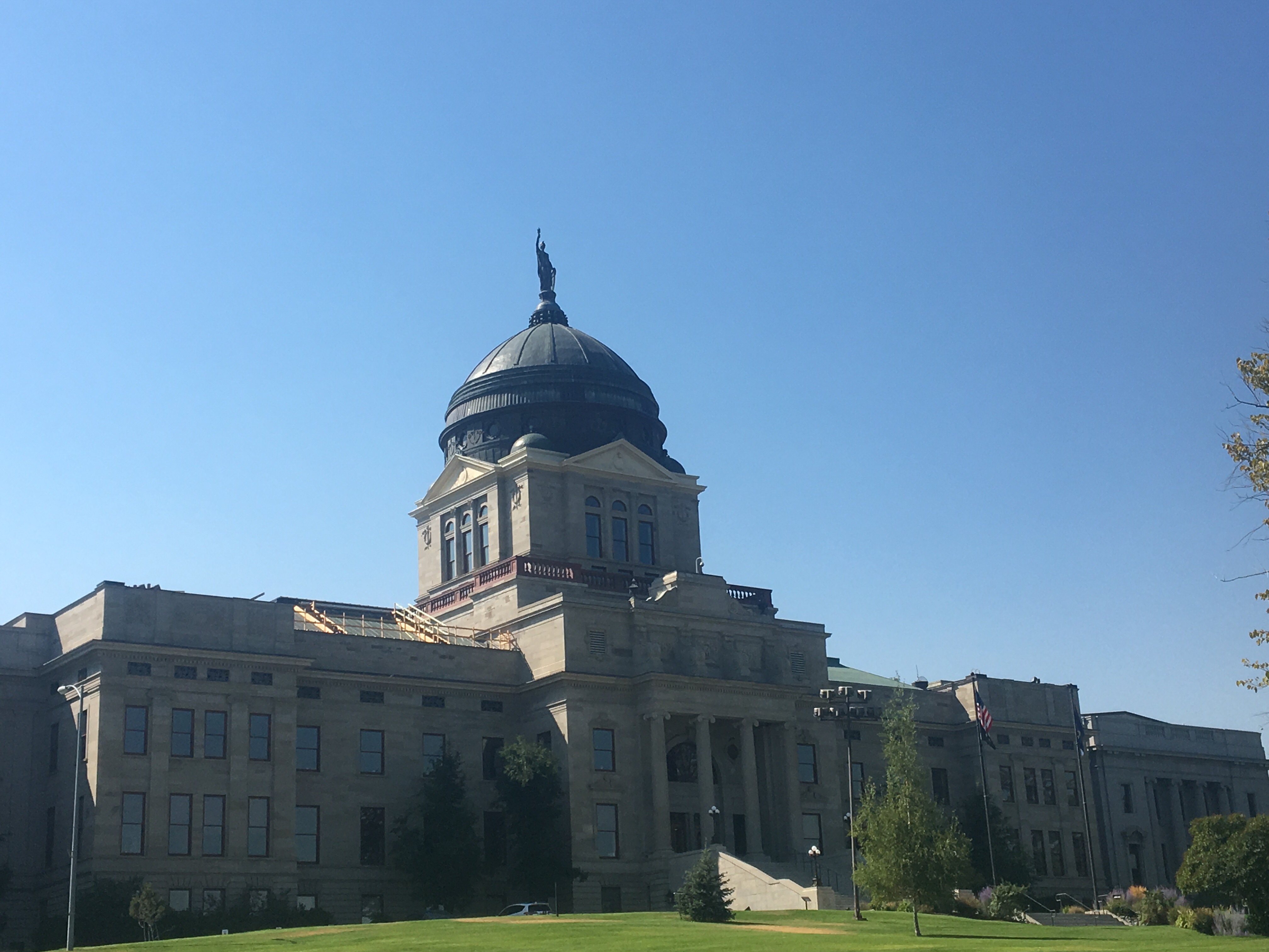 the State House


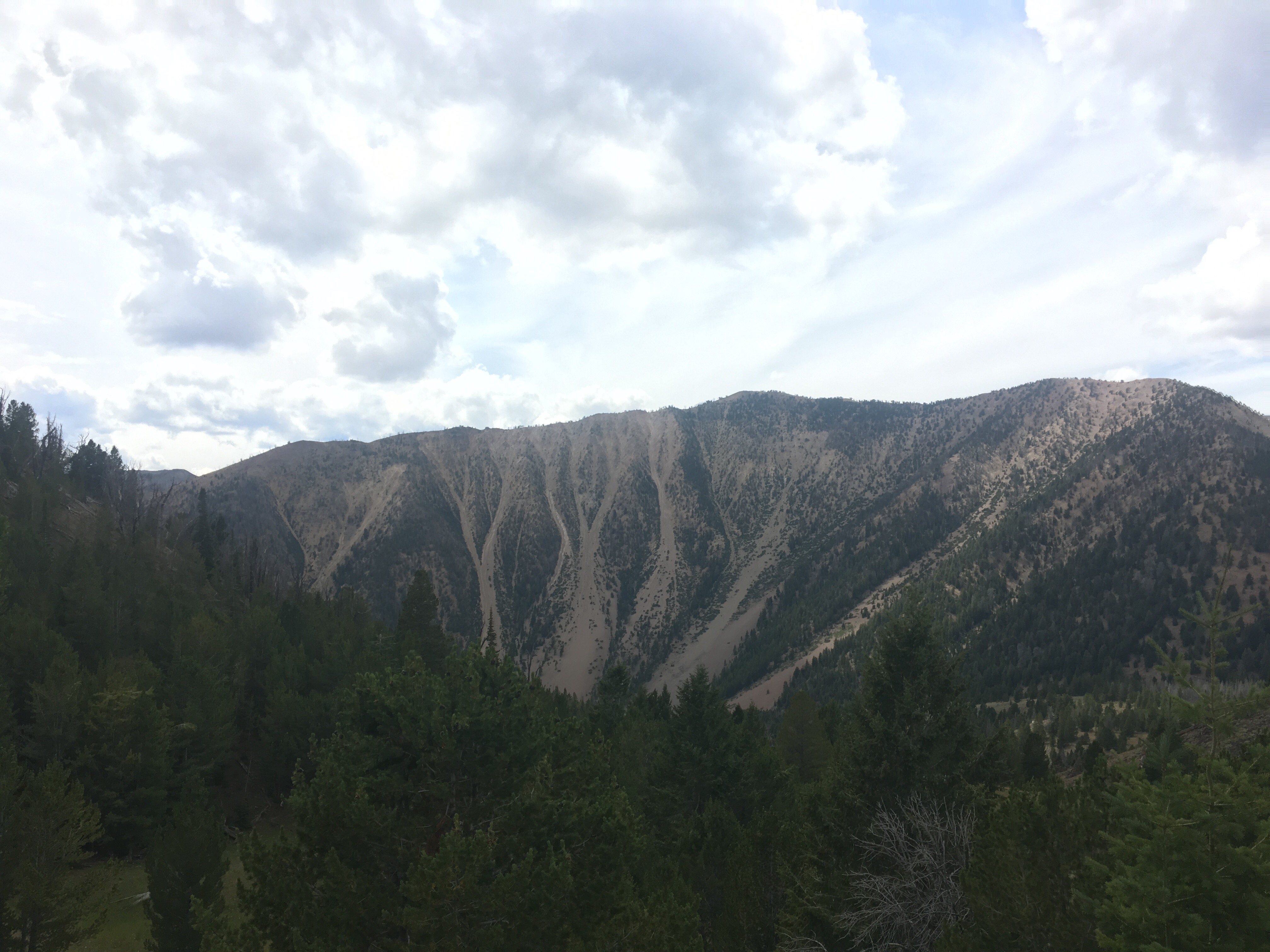

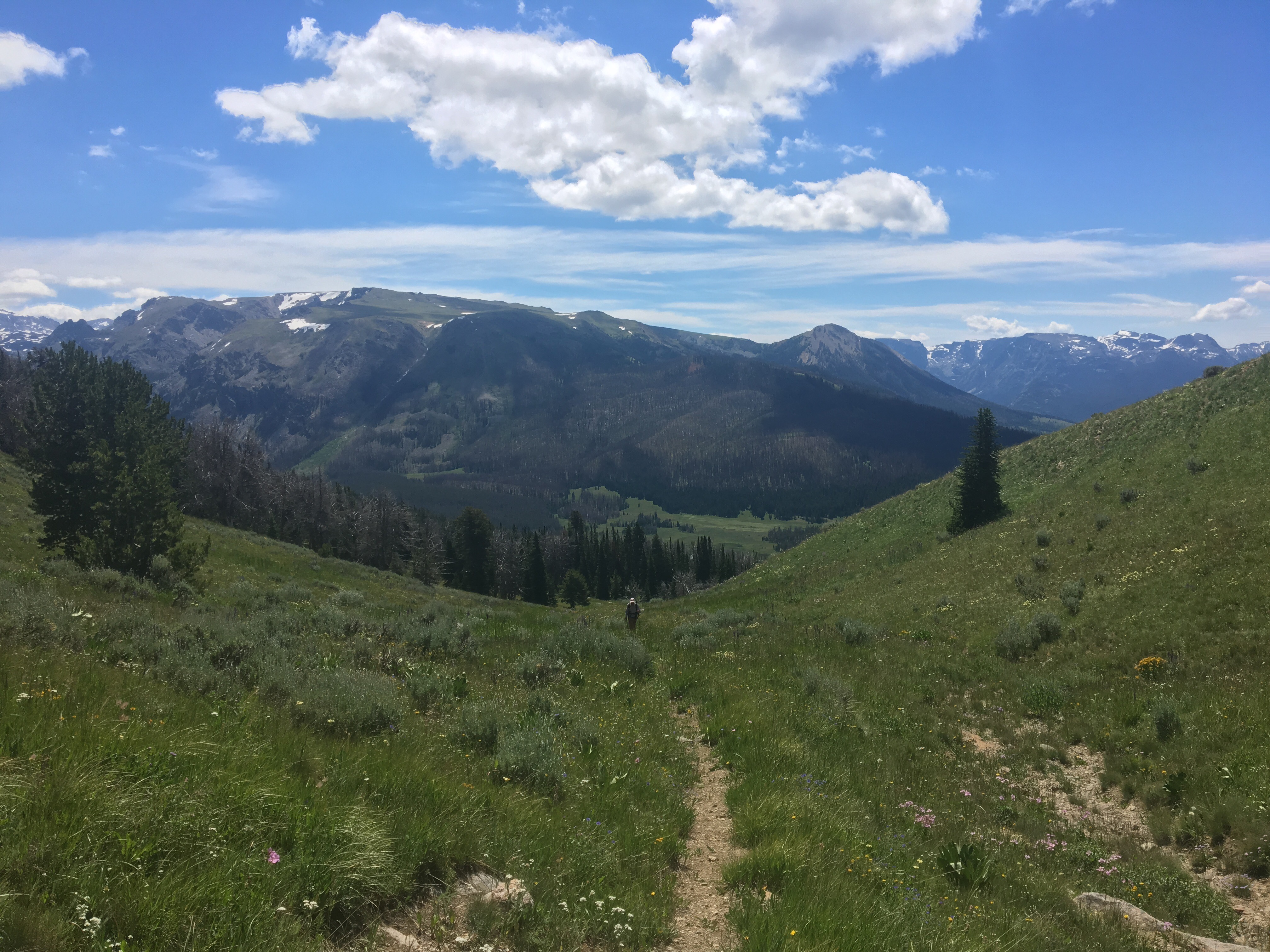
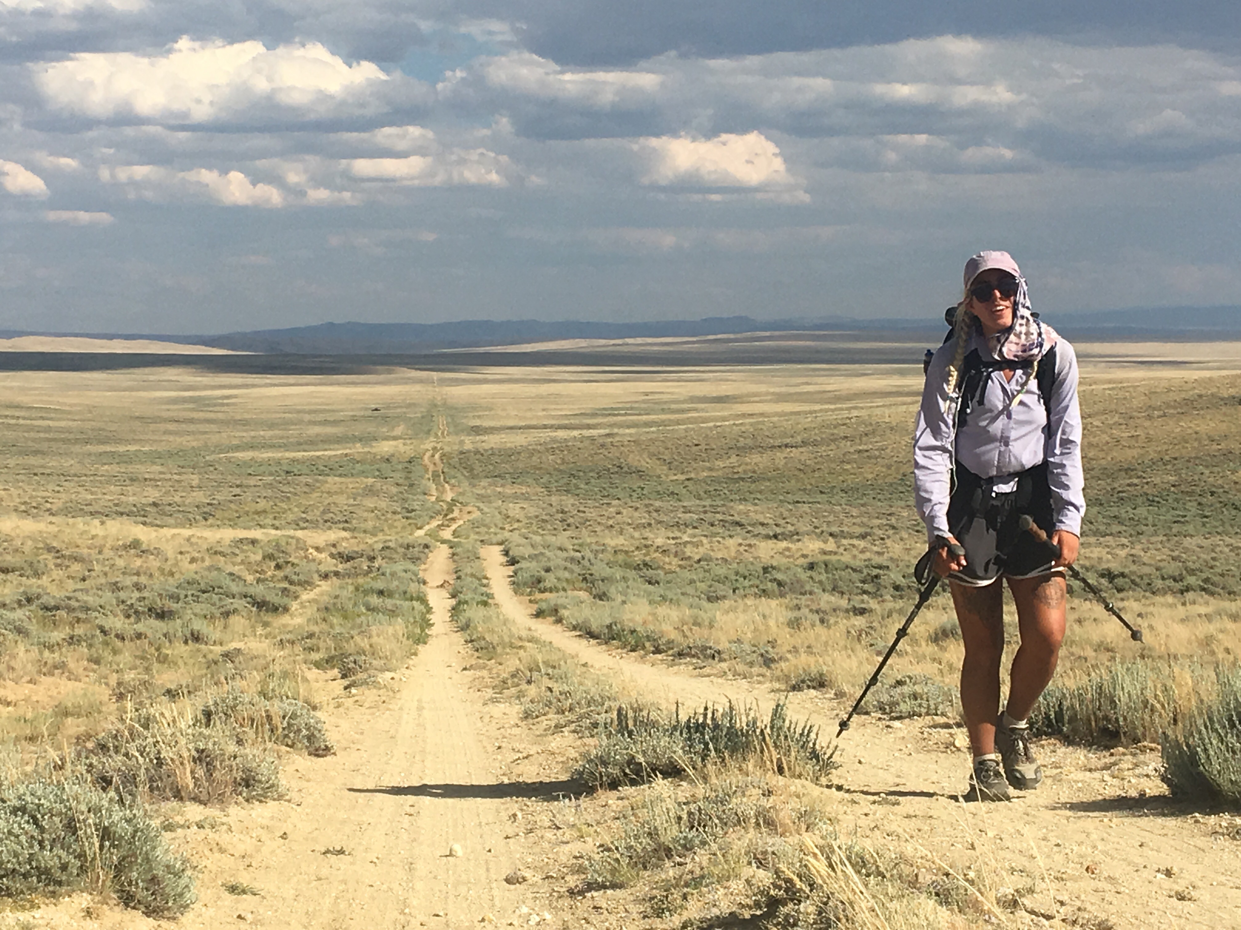
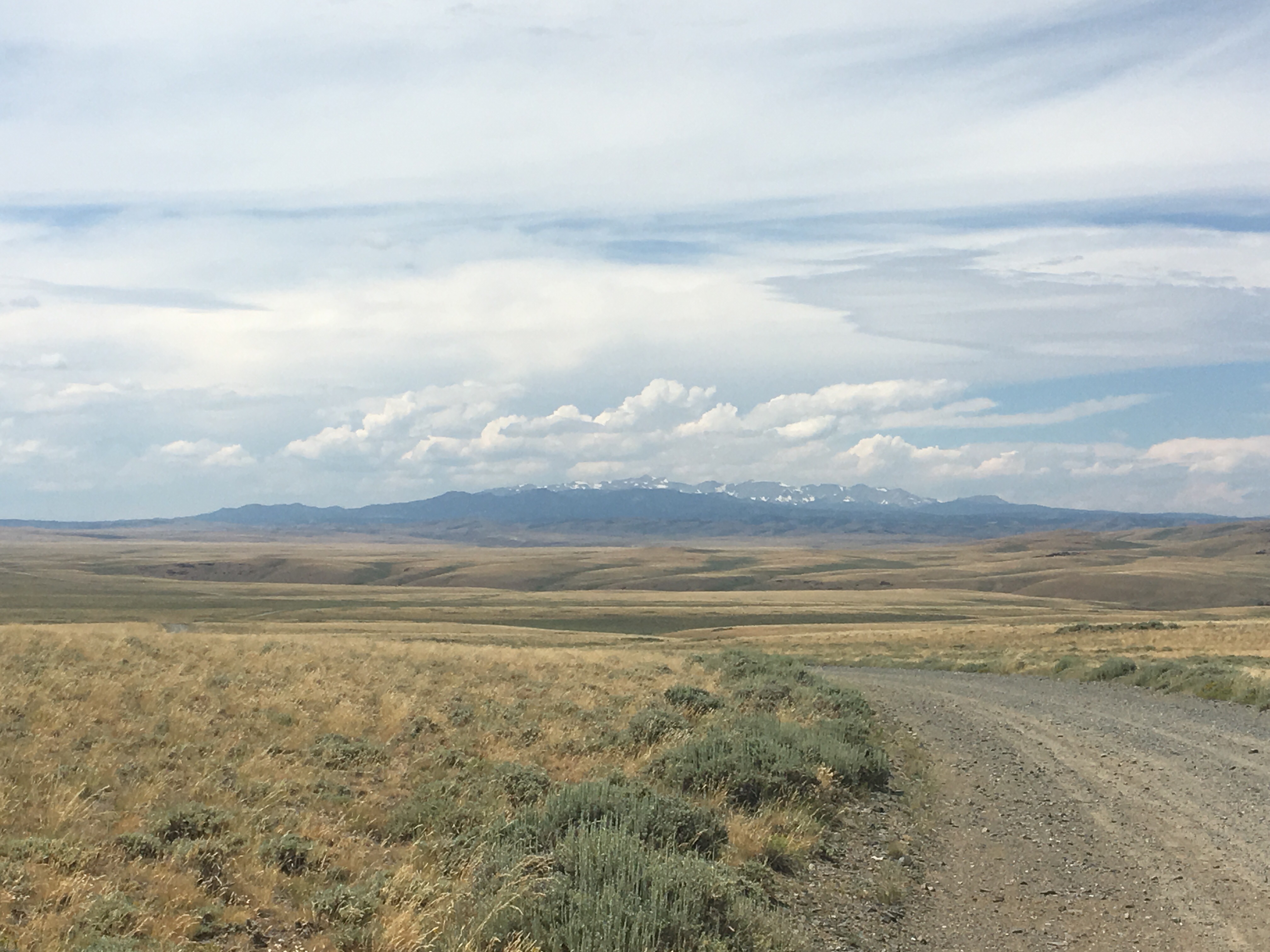
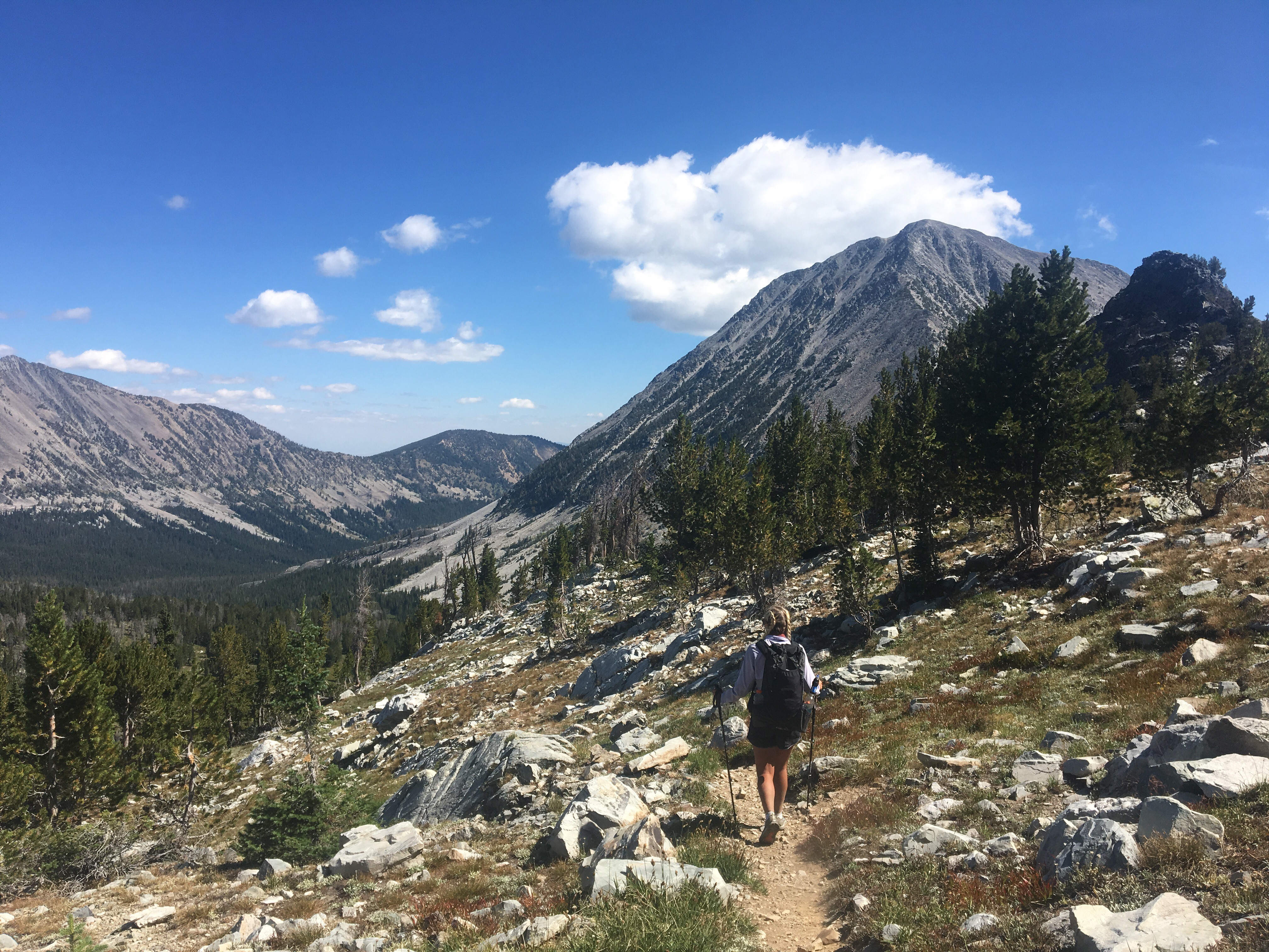
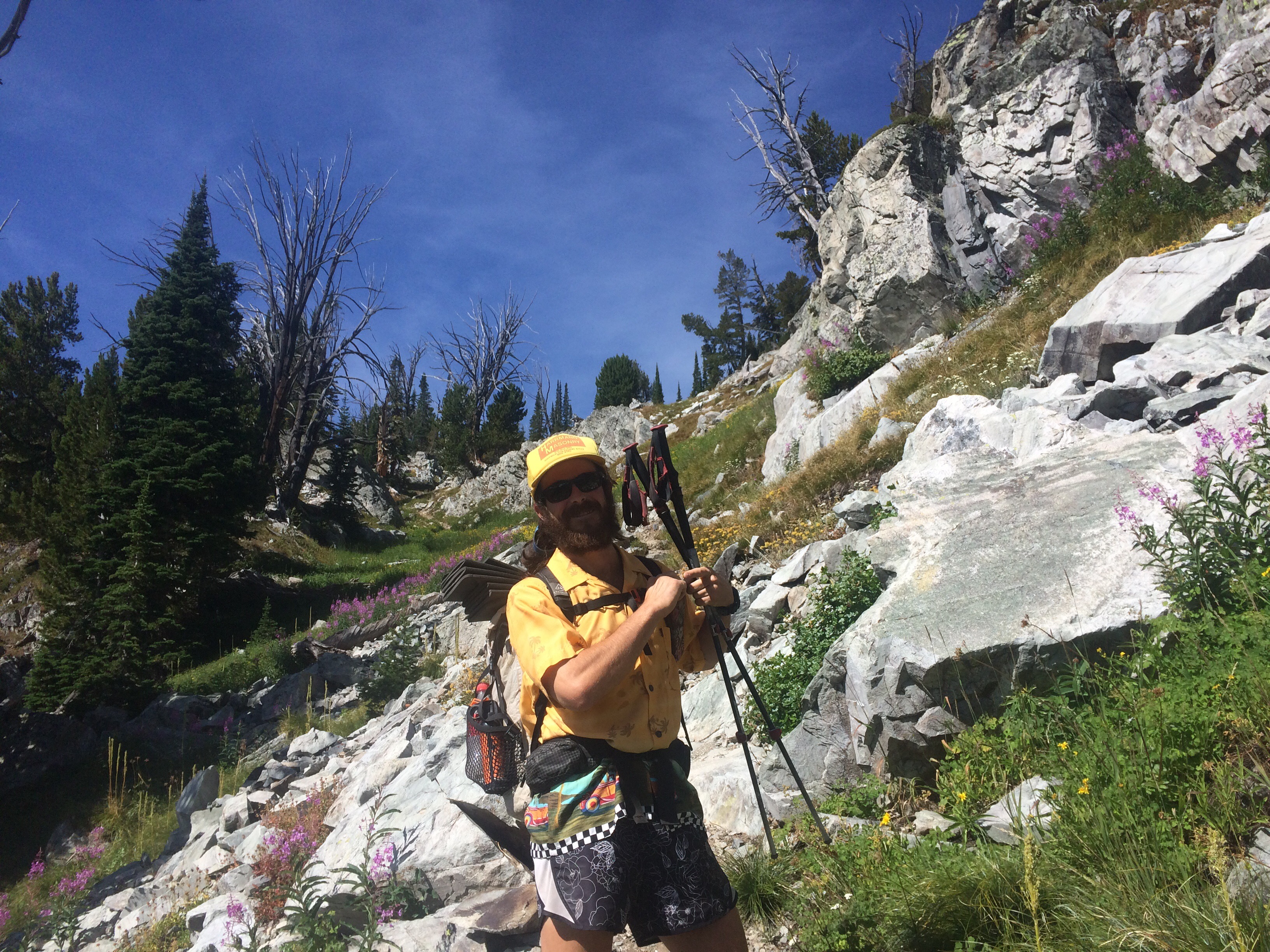
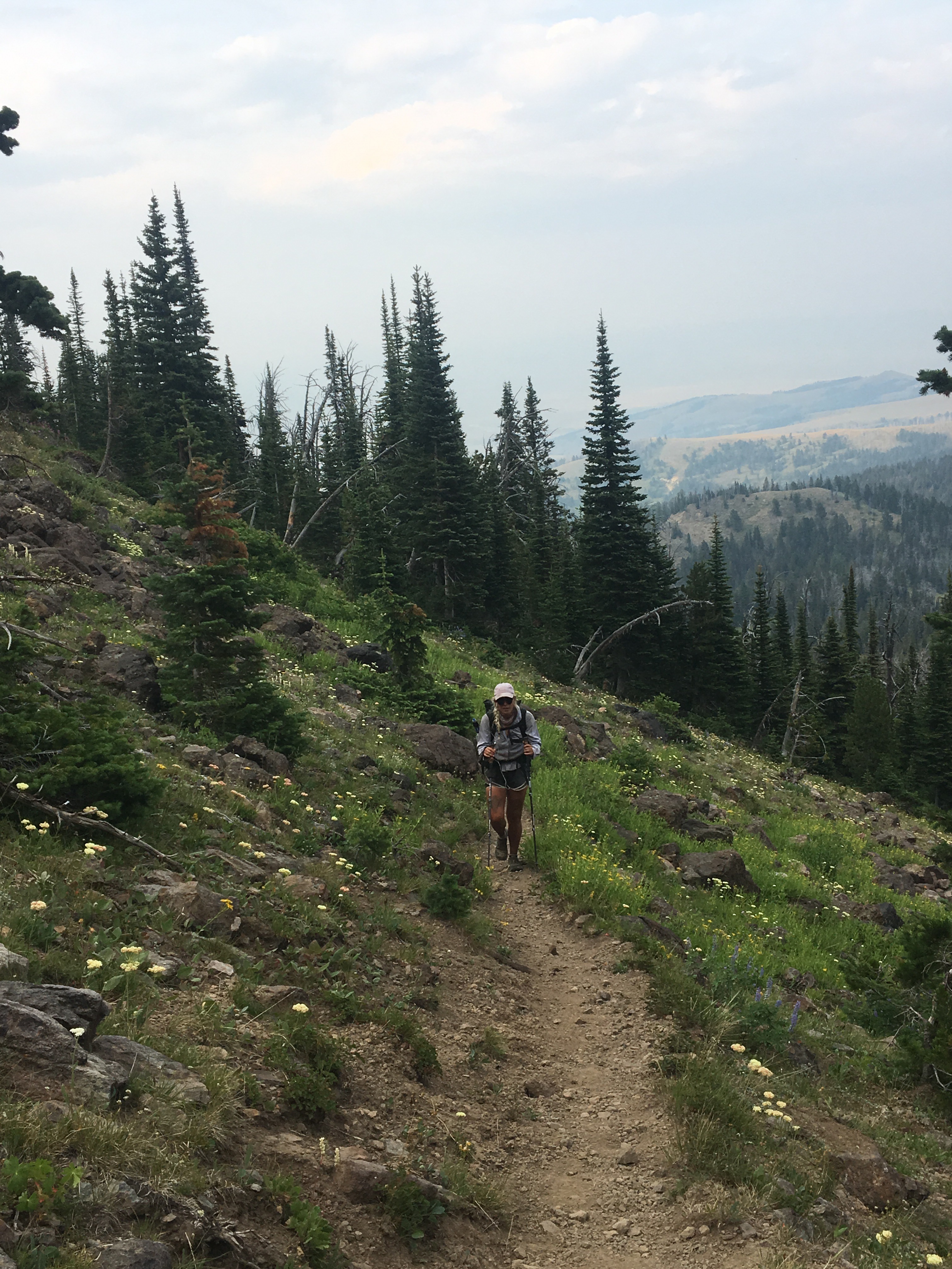
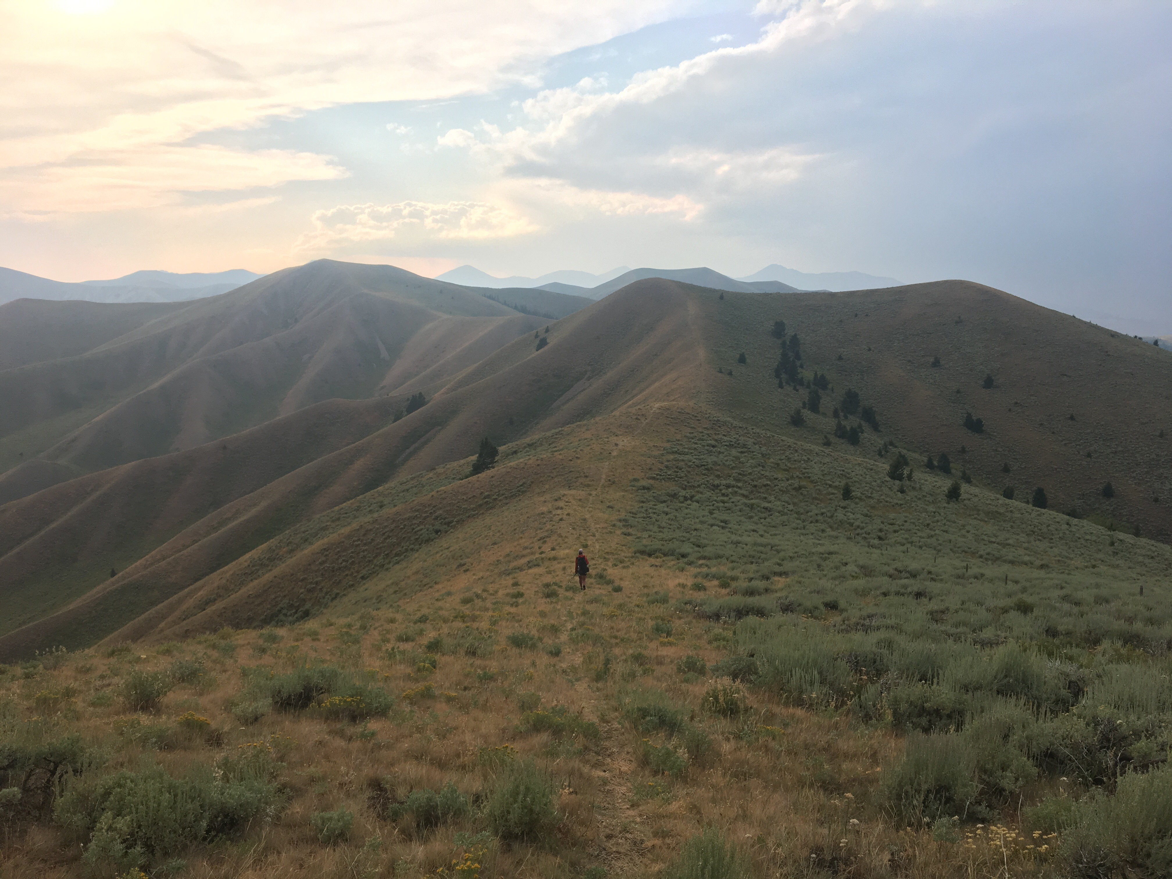
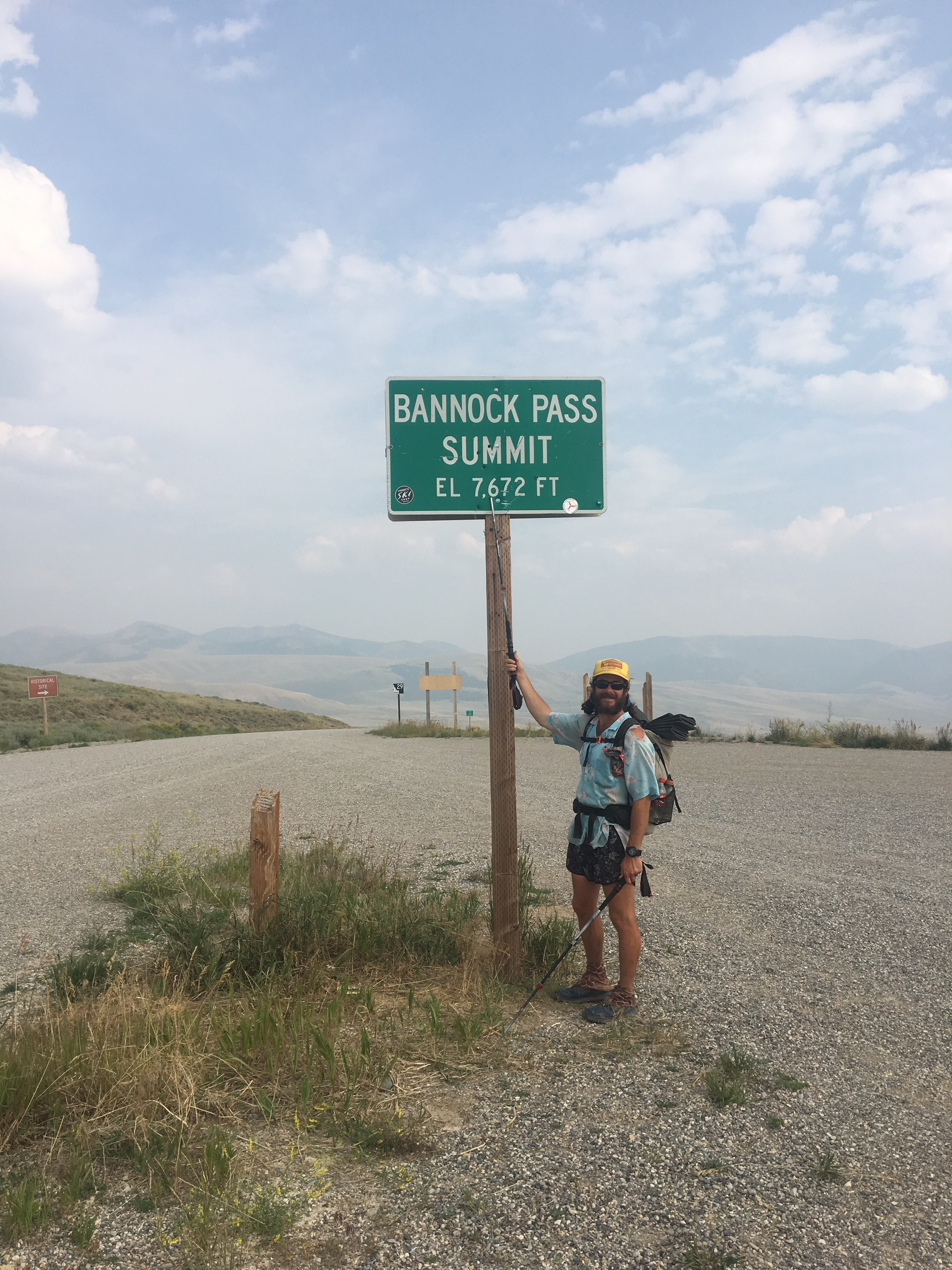
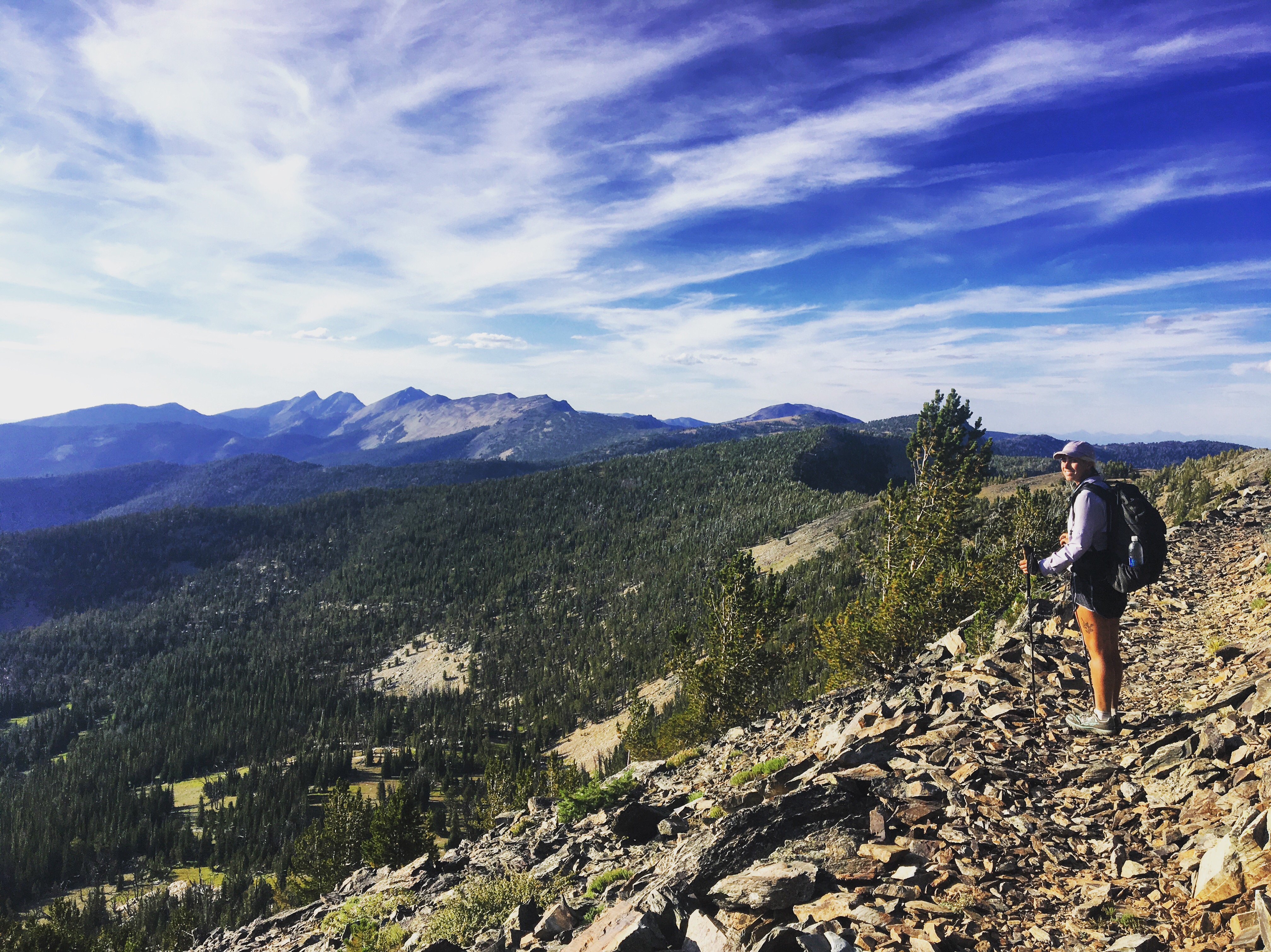 QB eyeballing some big old Idaho mountains
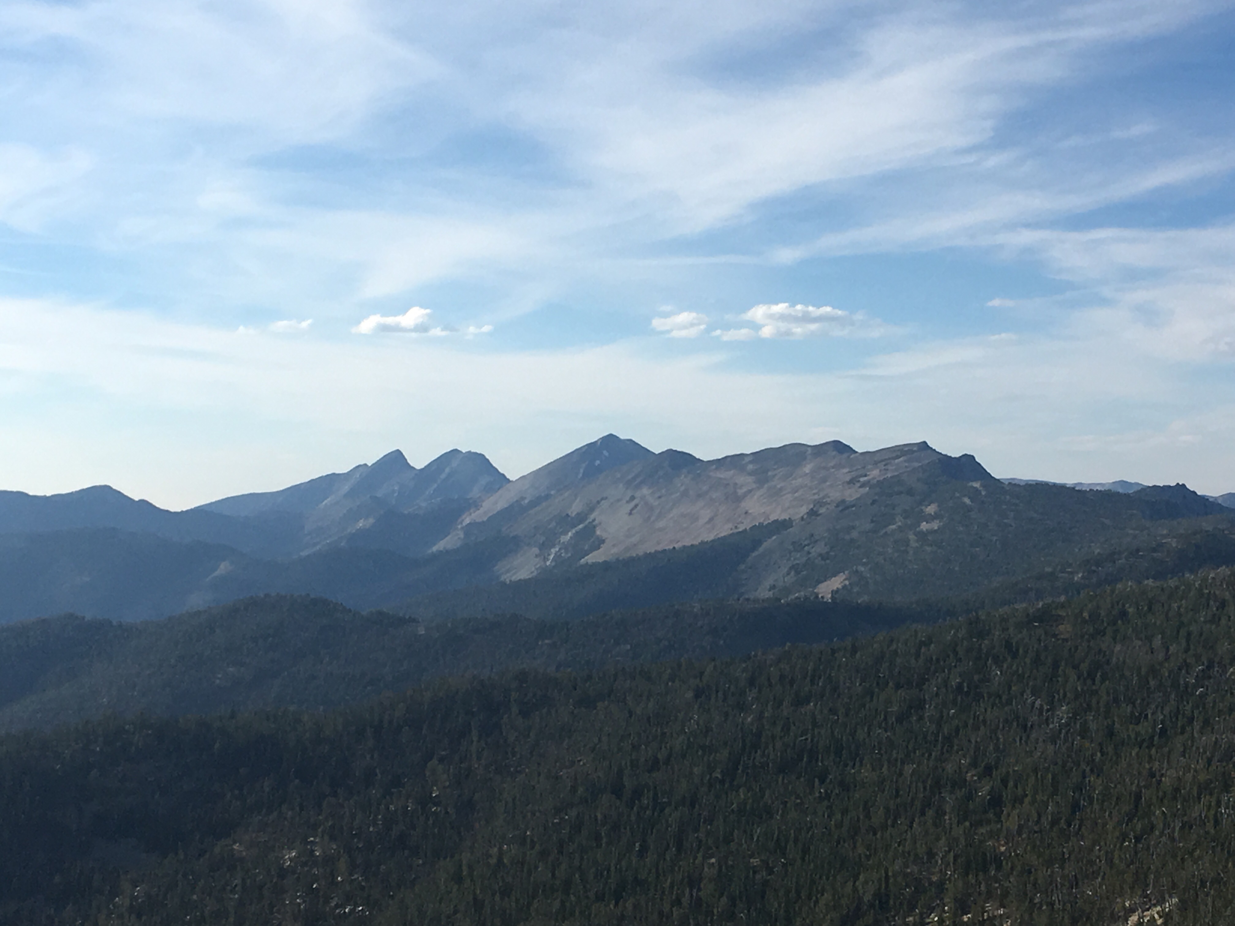
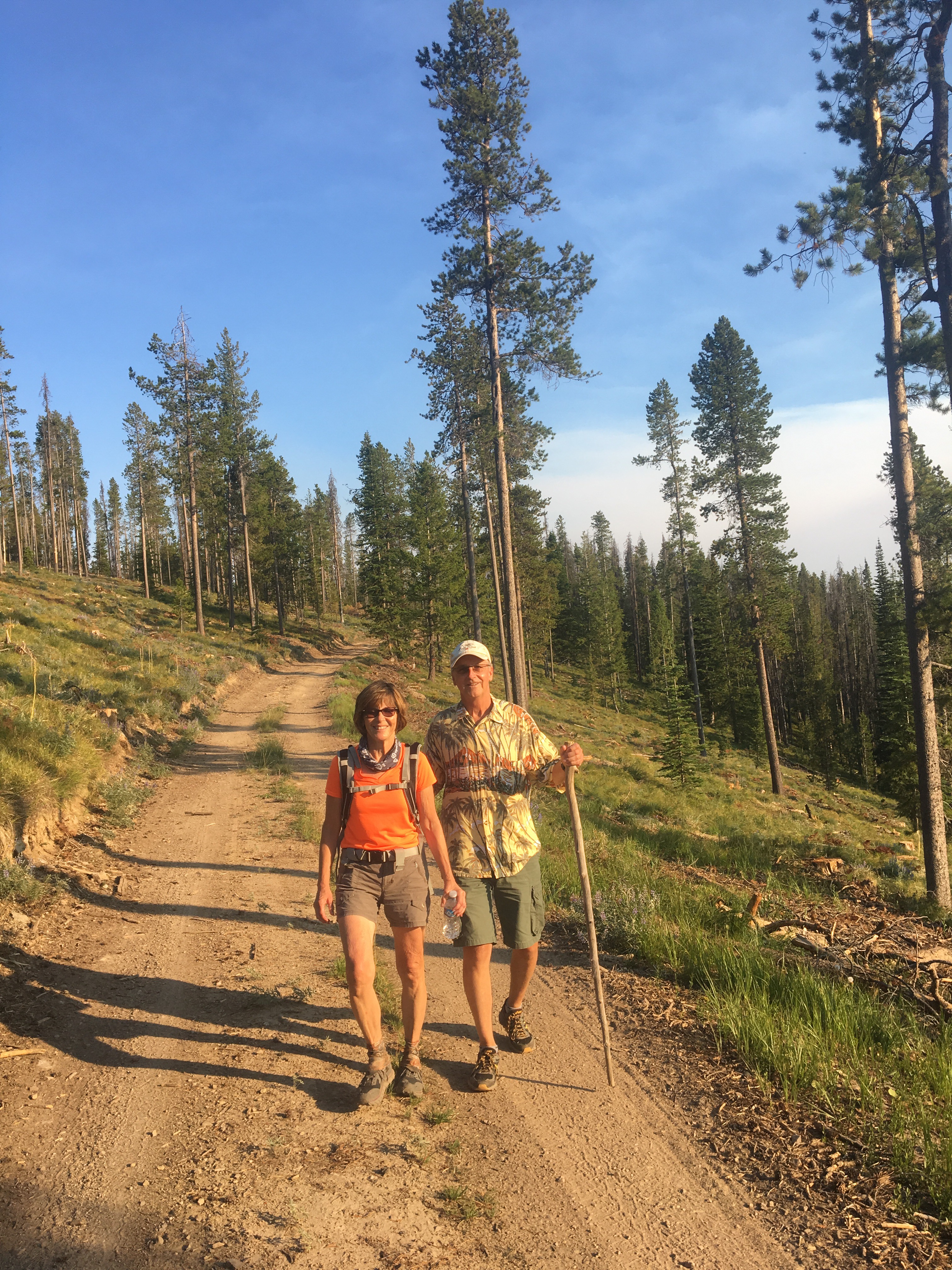
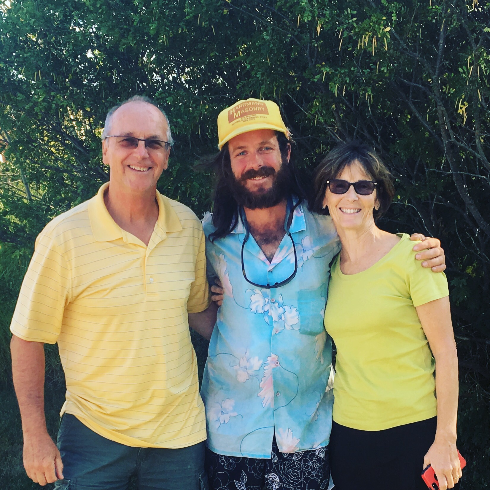 a very nice family reunion with my parents in Montana
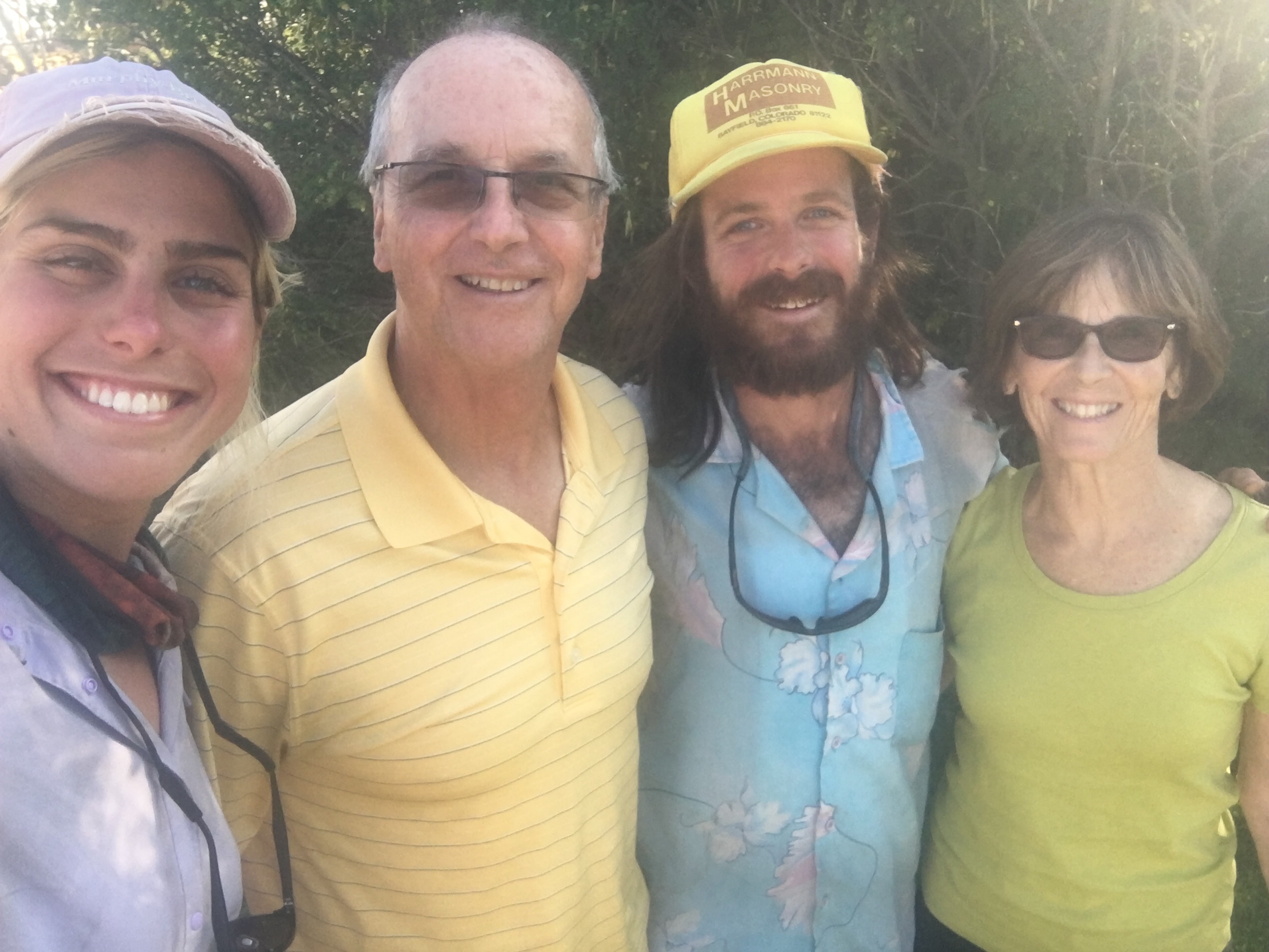
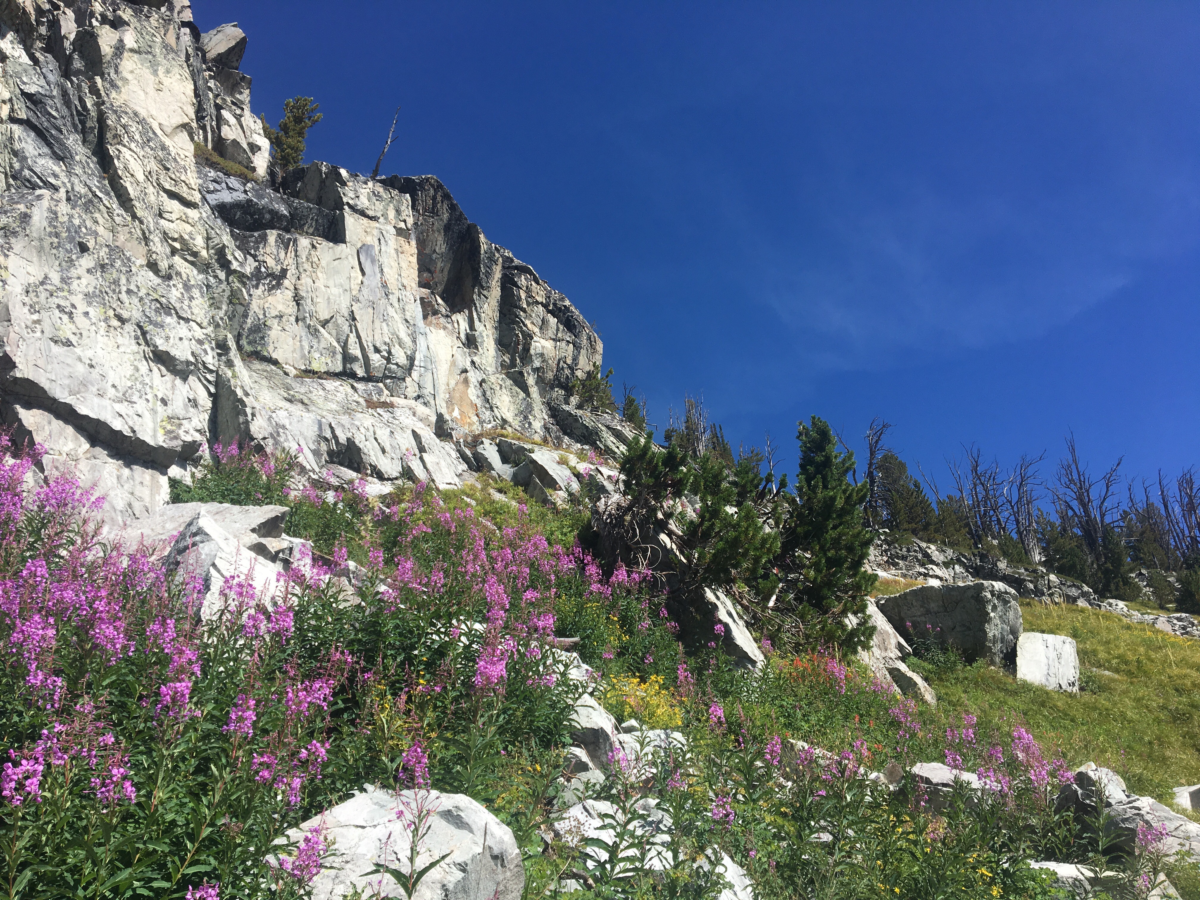
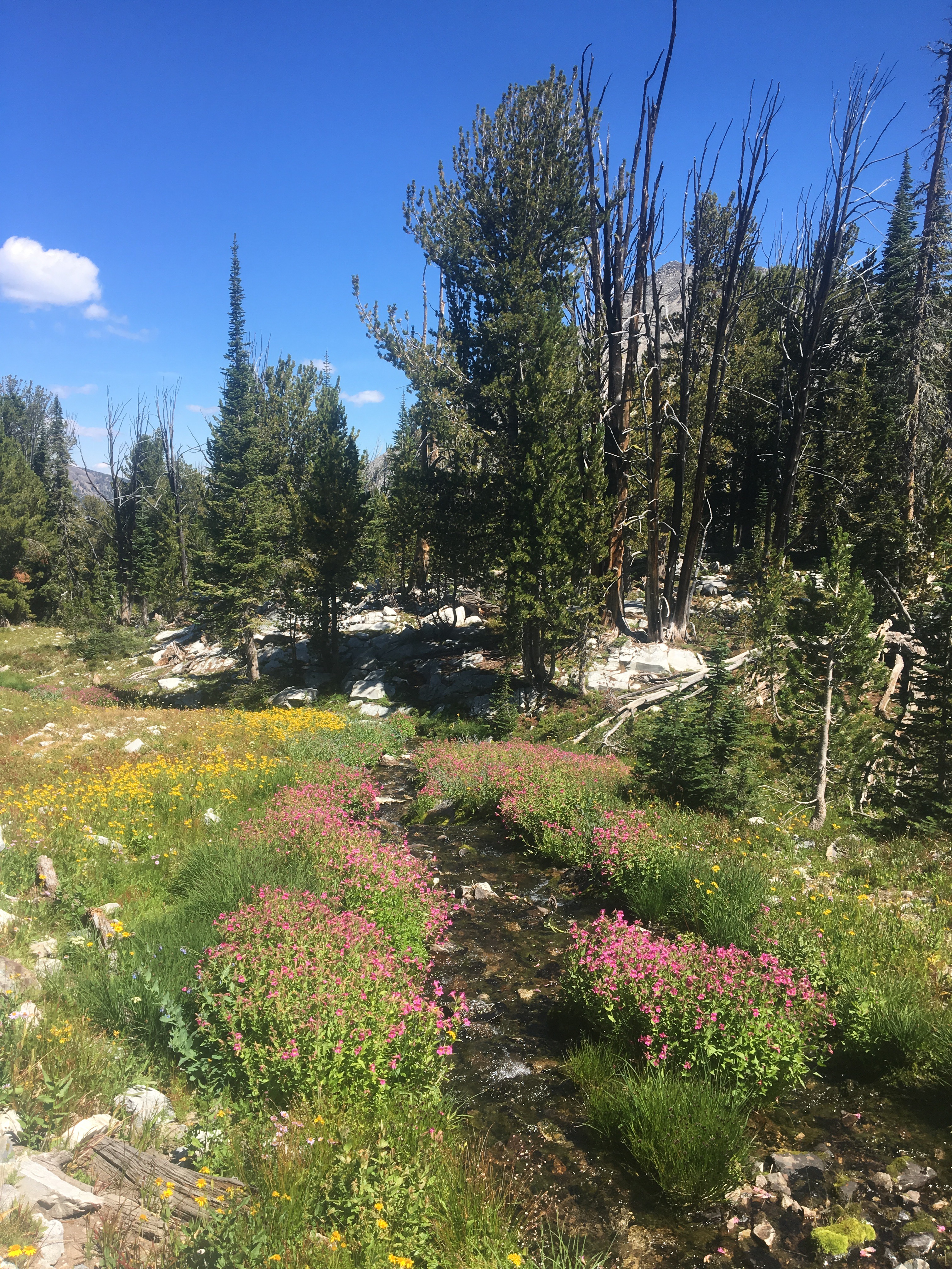
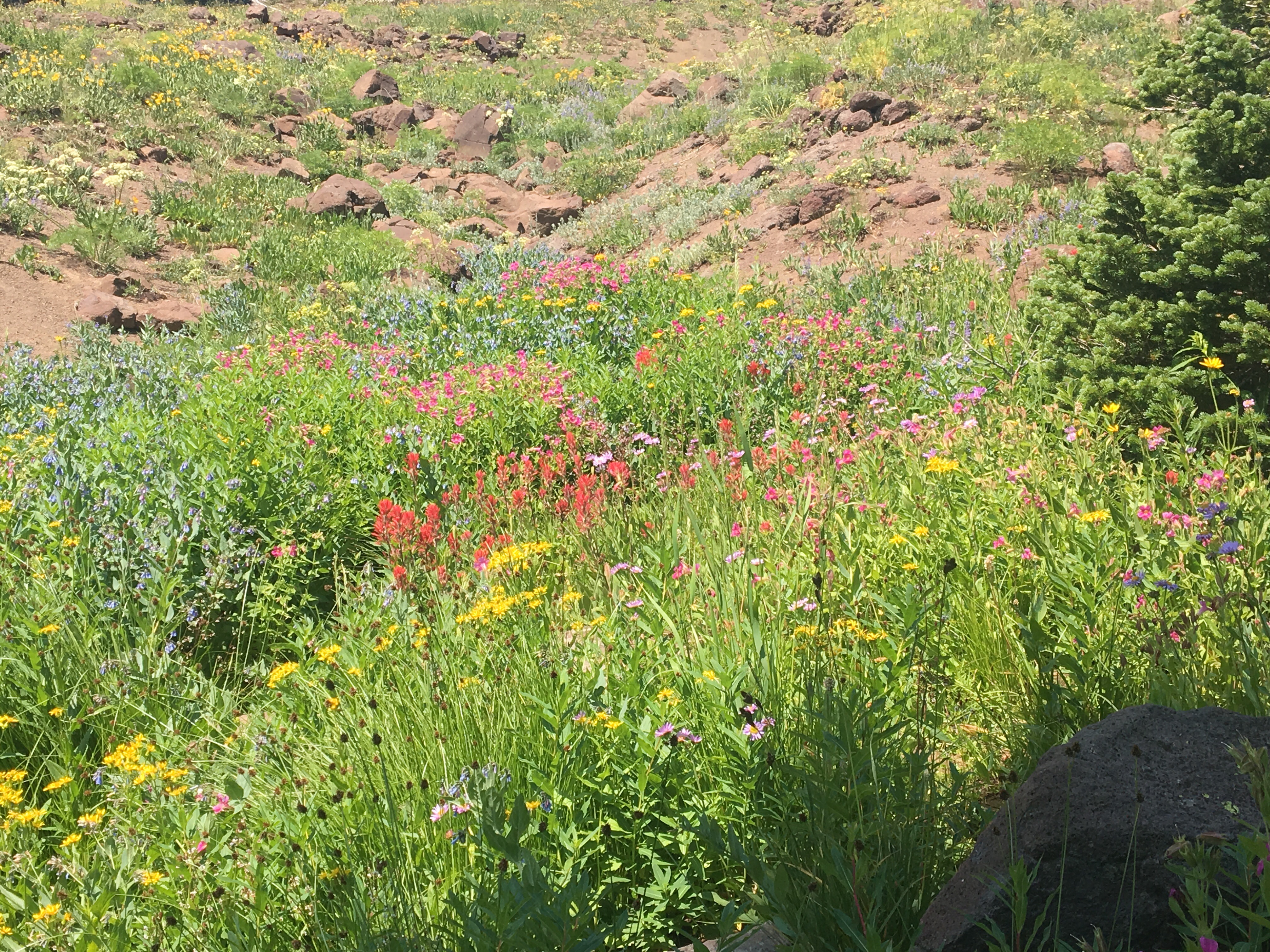
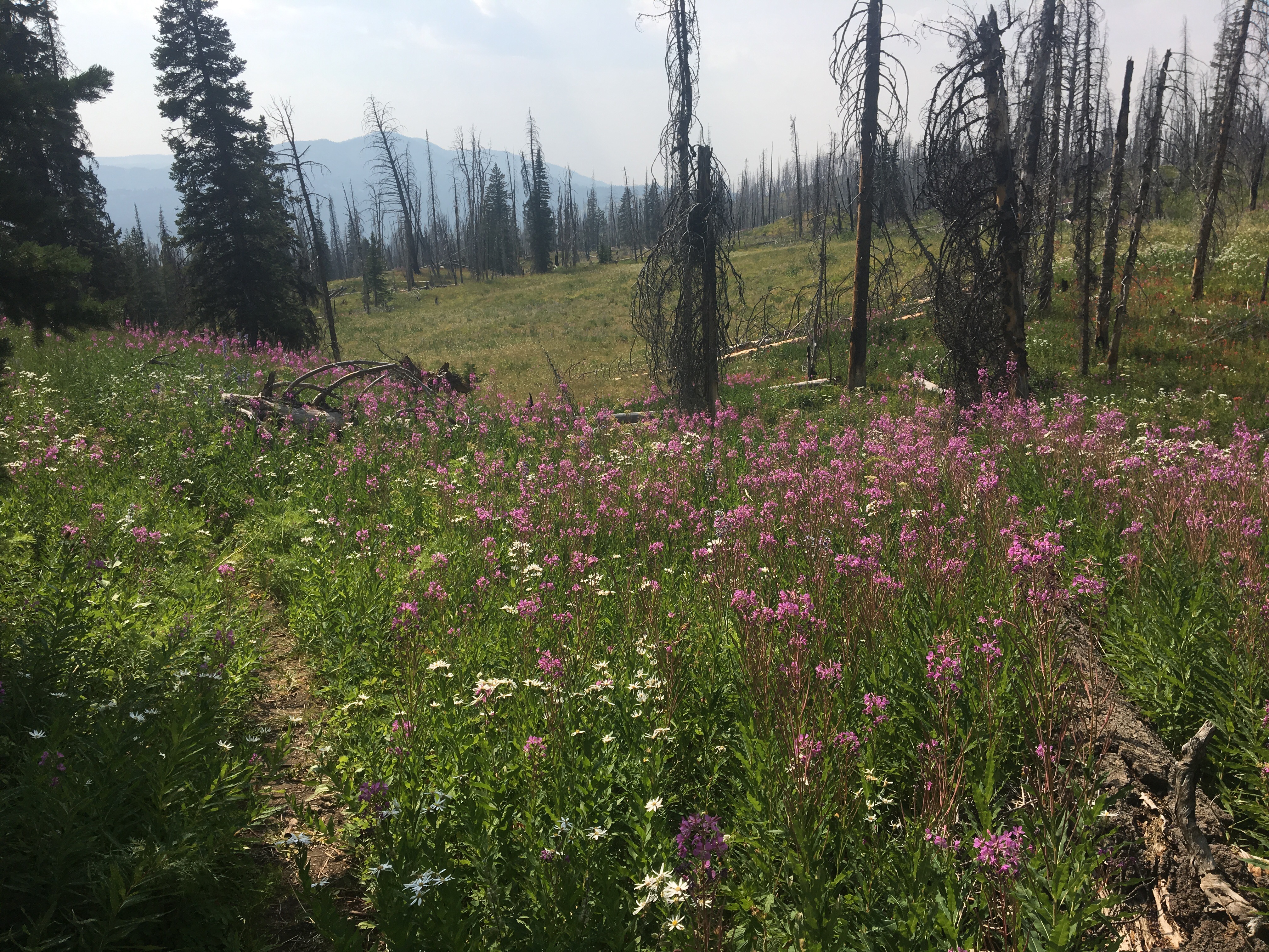
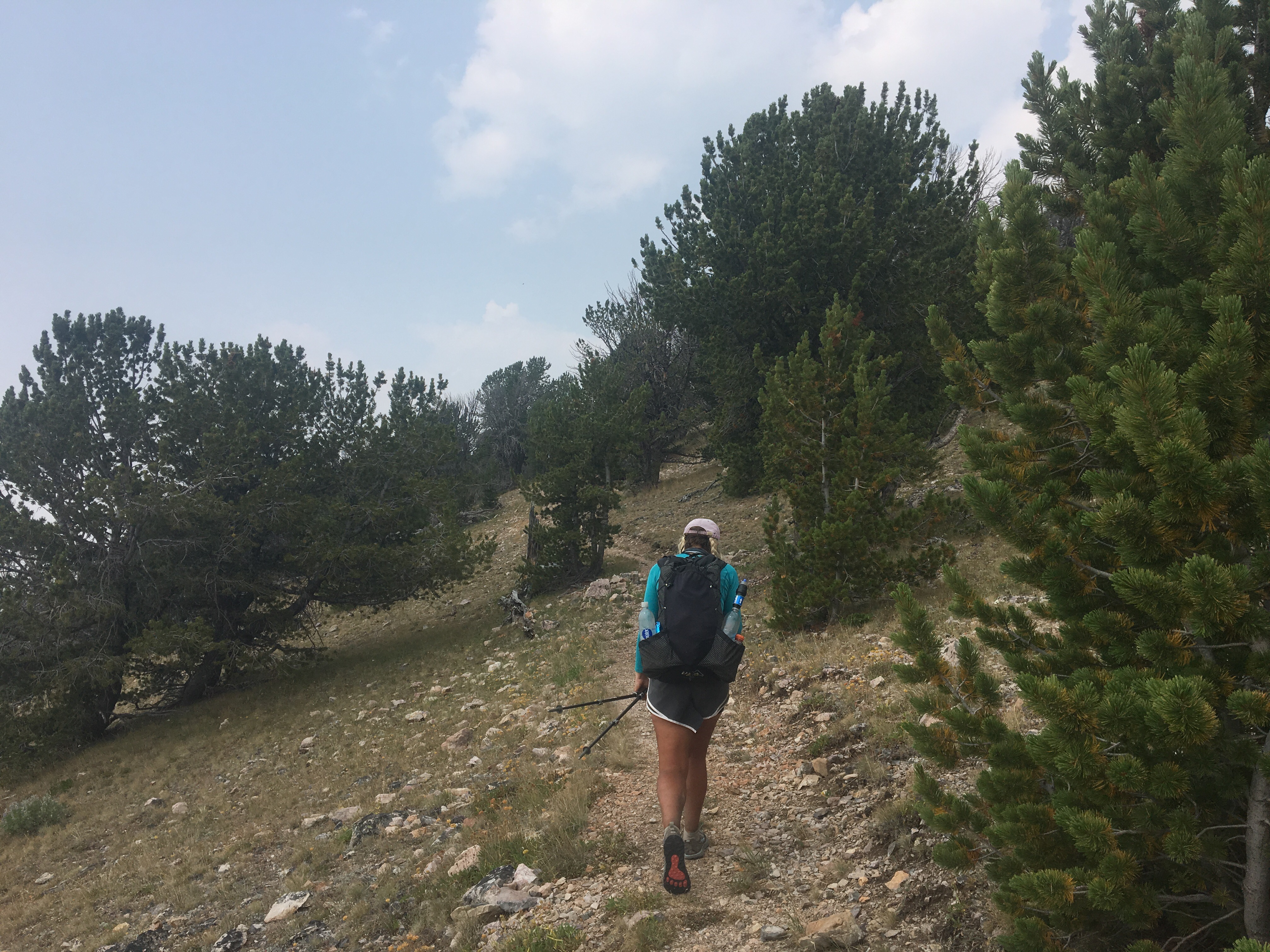
 B crushing trail through the wildflowers
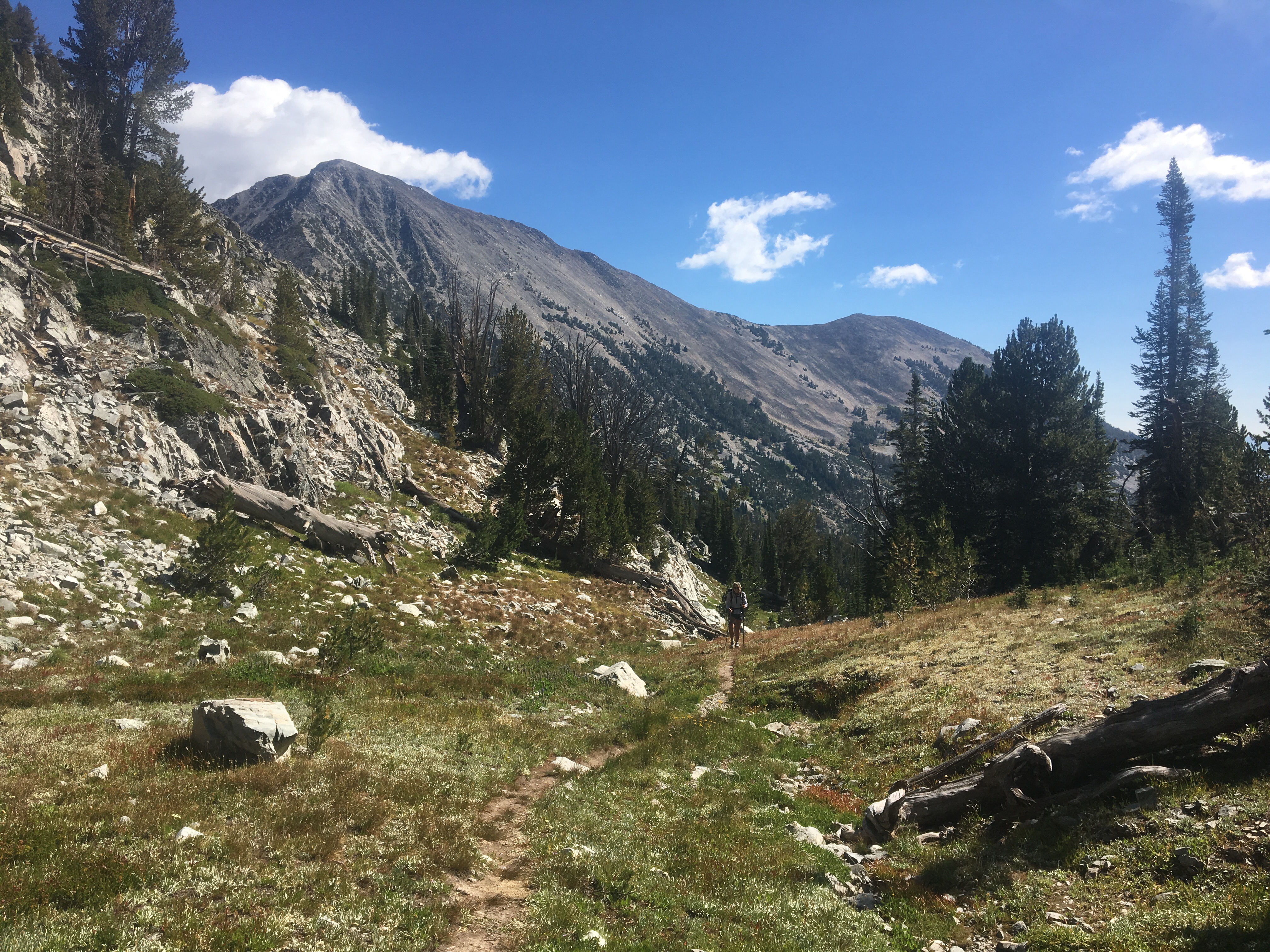


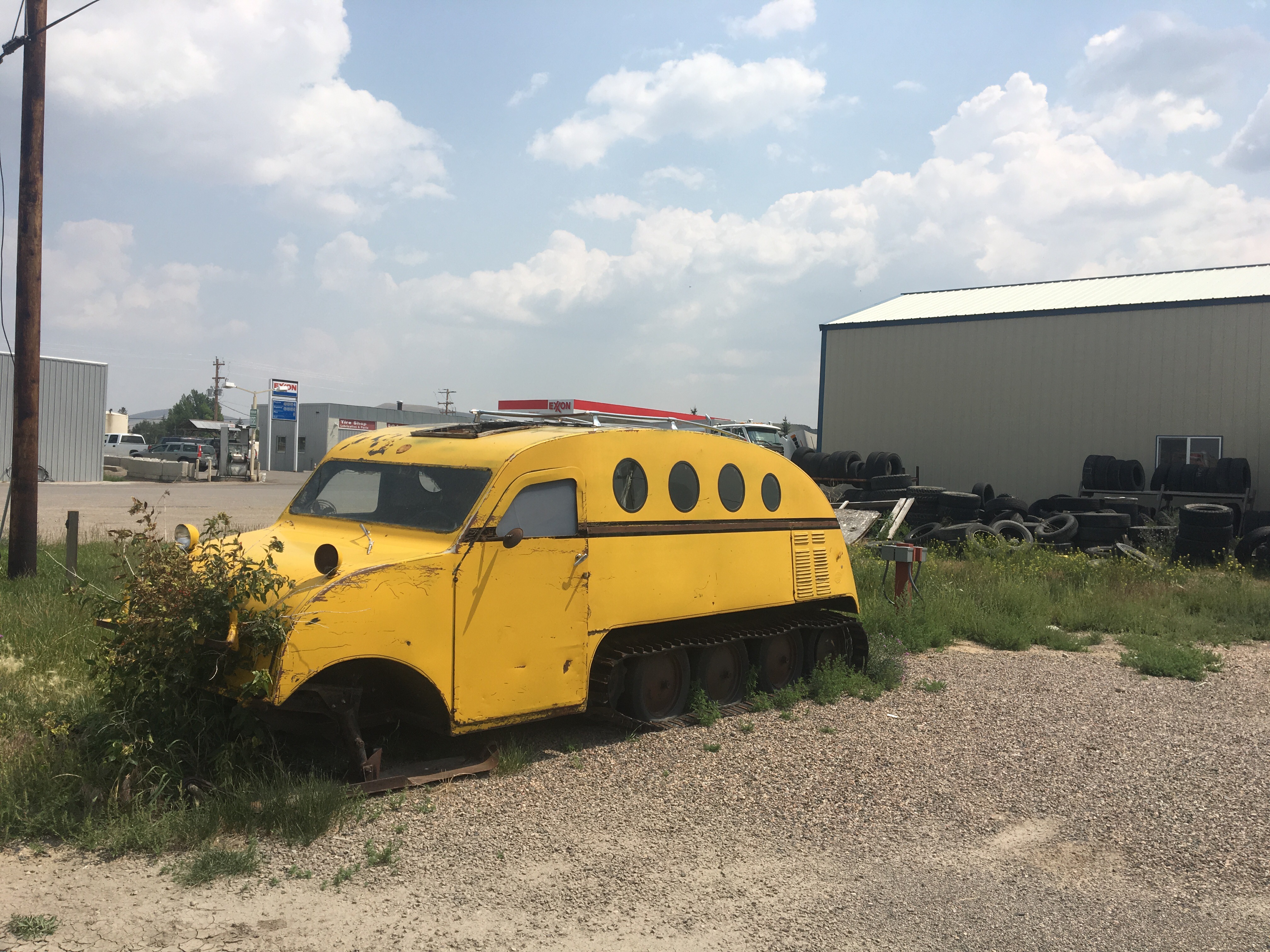 school bus for snow days

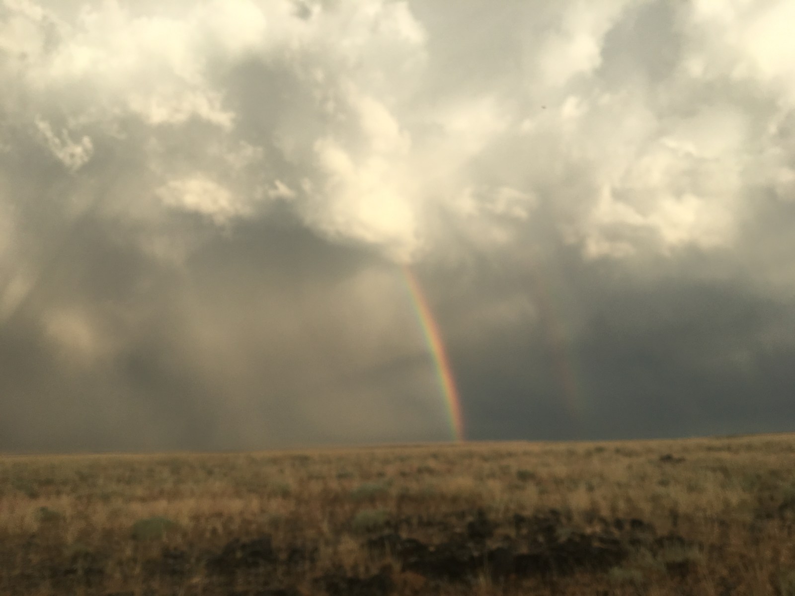
 This rainbow started in Idaho and ended in Montana with the trail in the middle
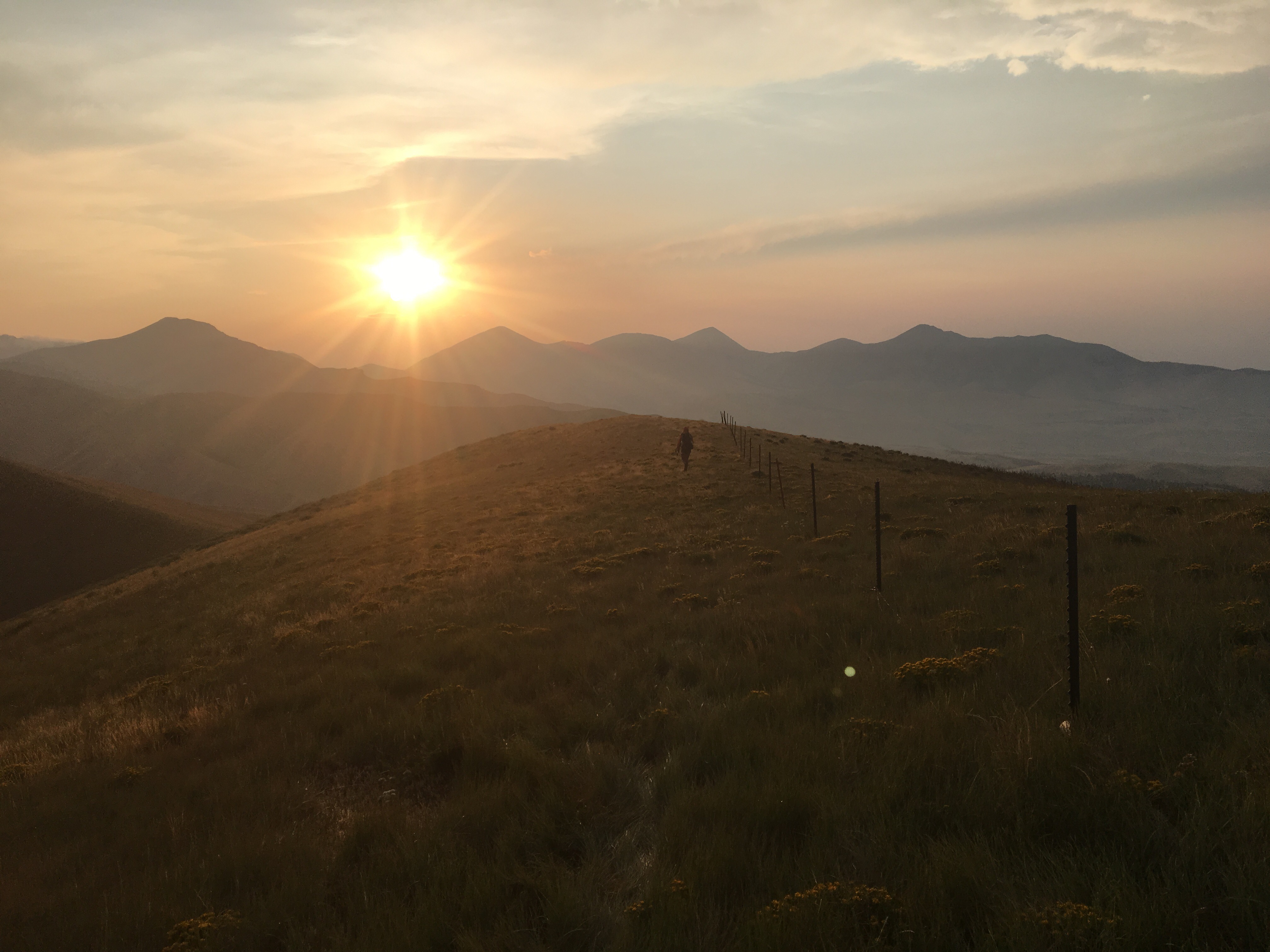

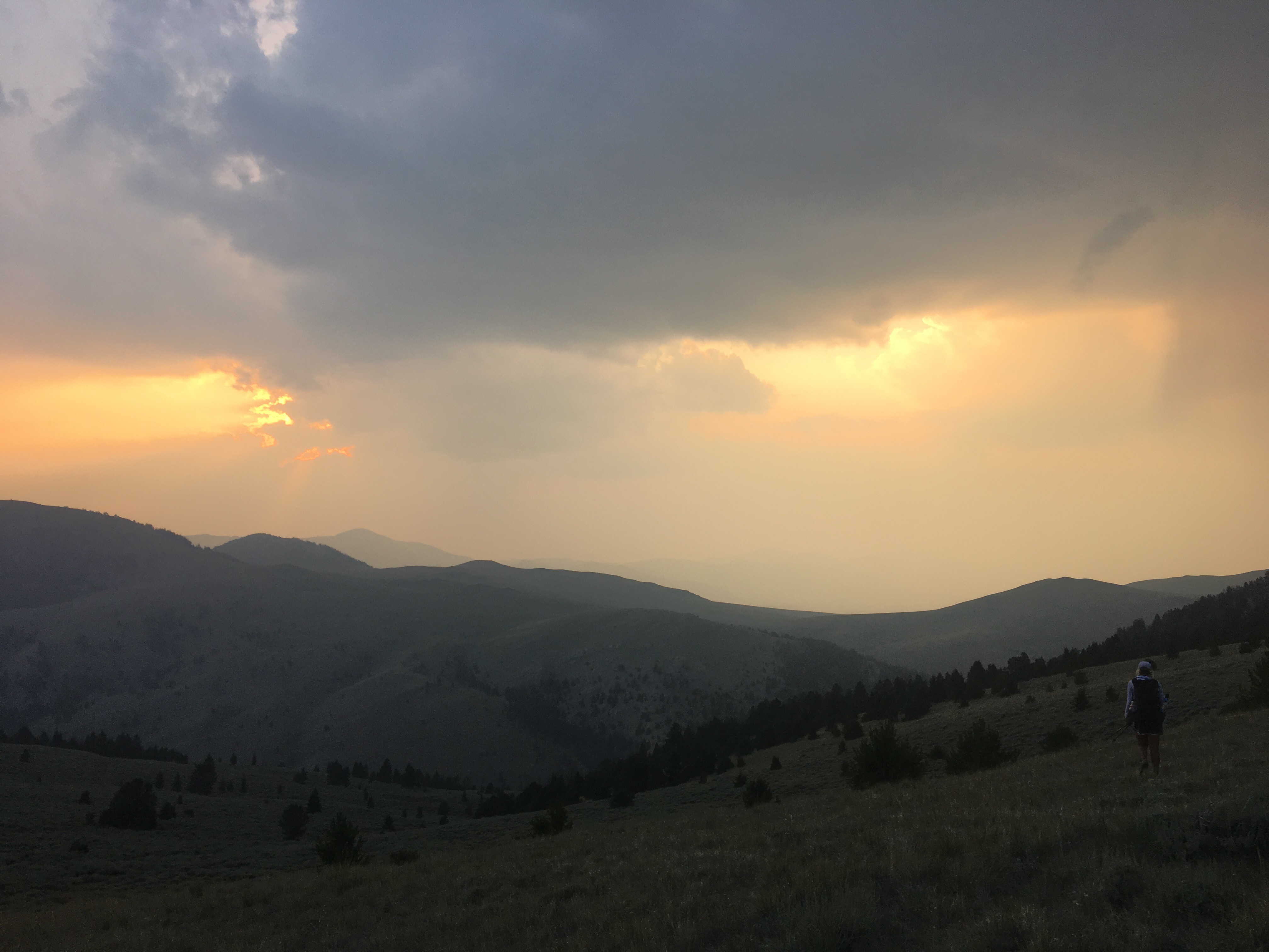

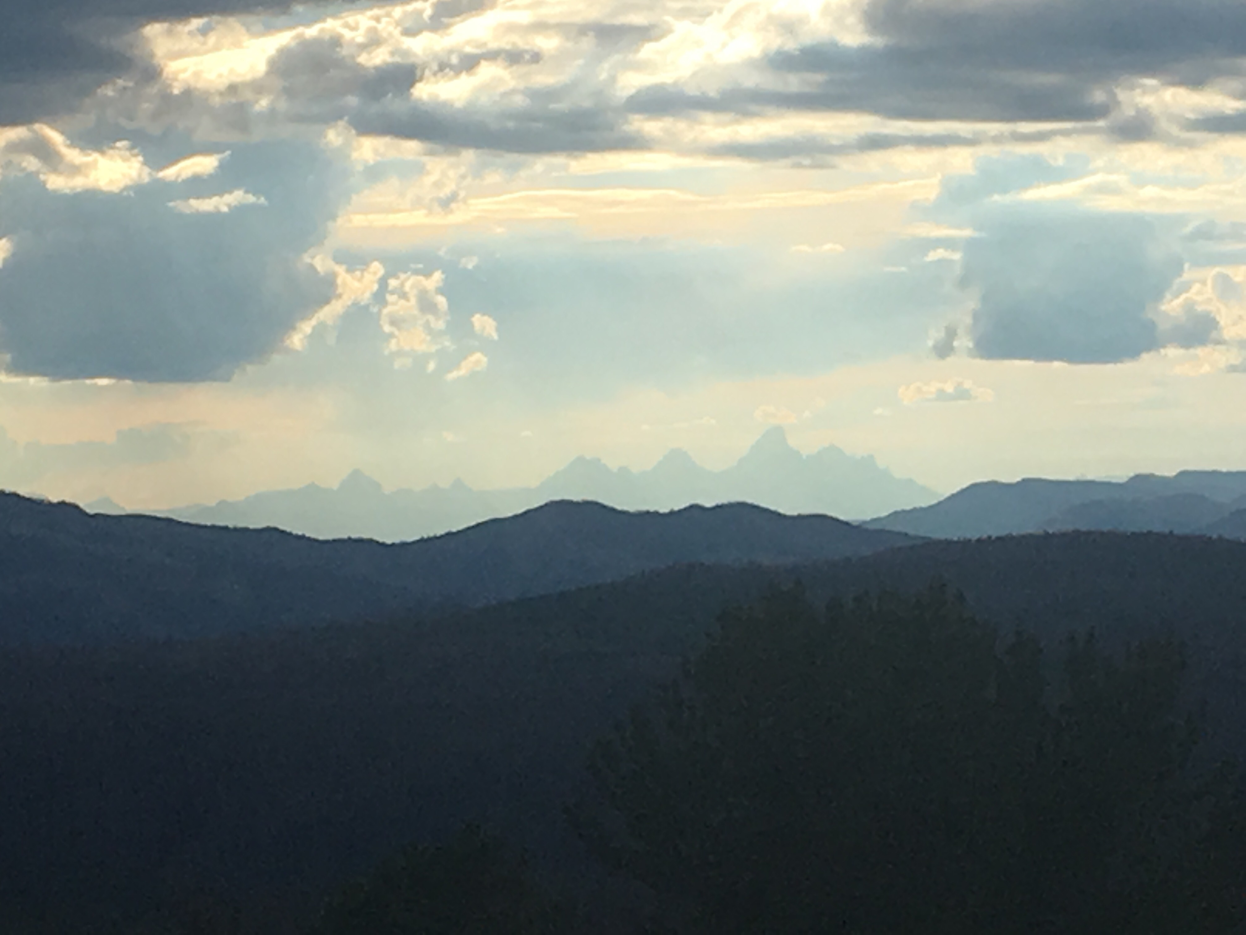
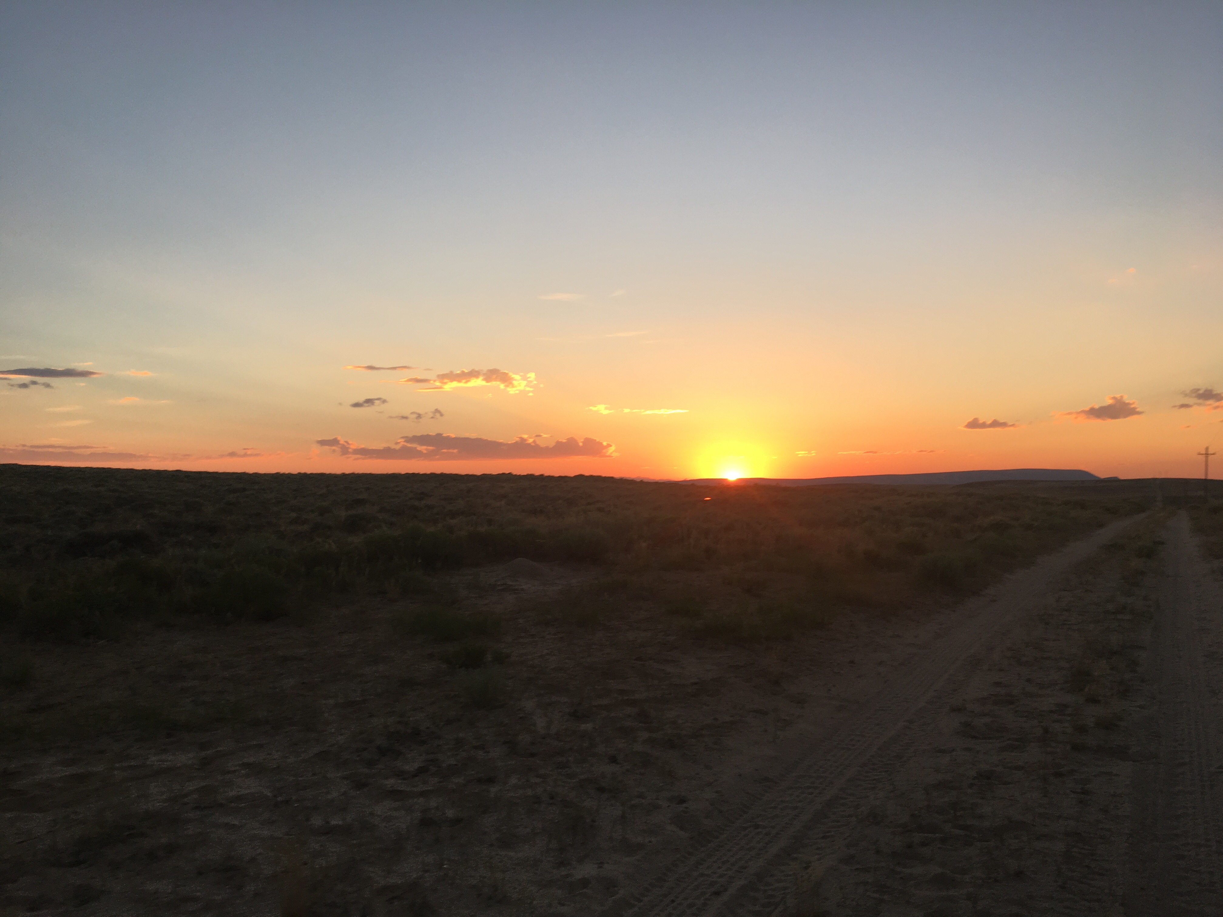
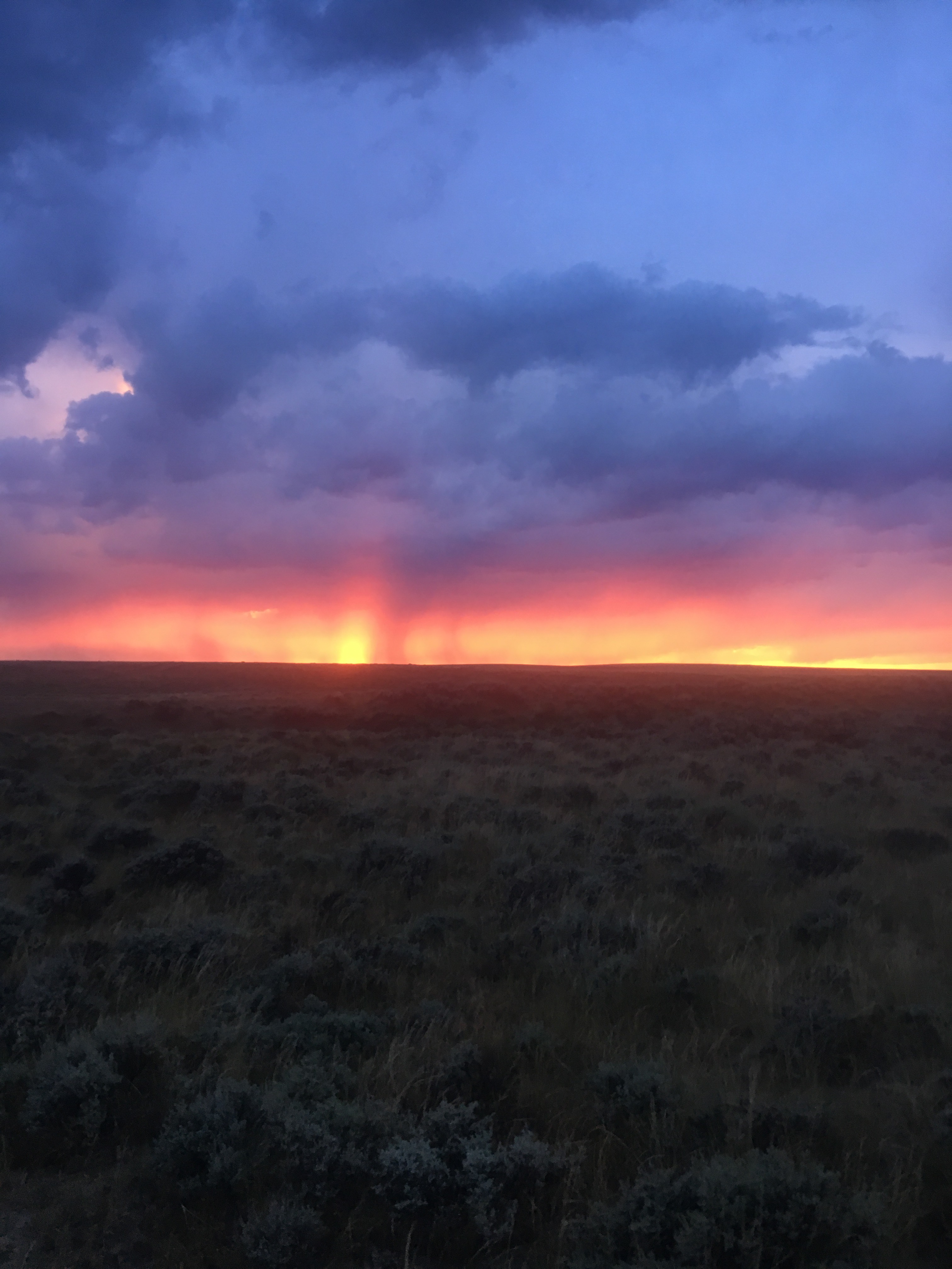
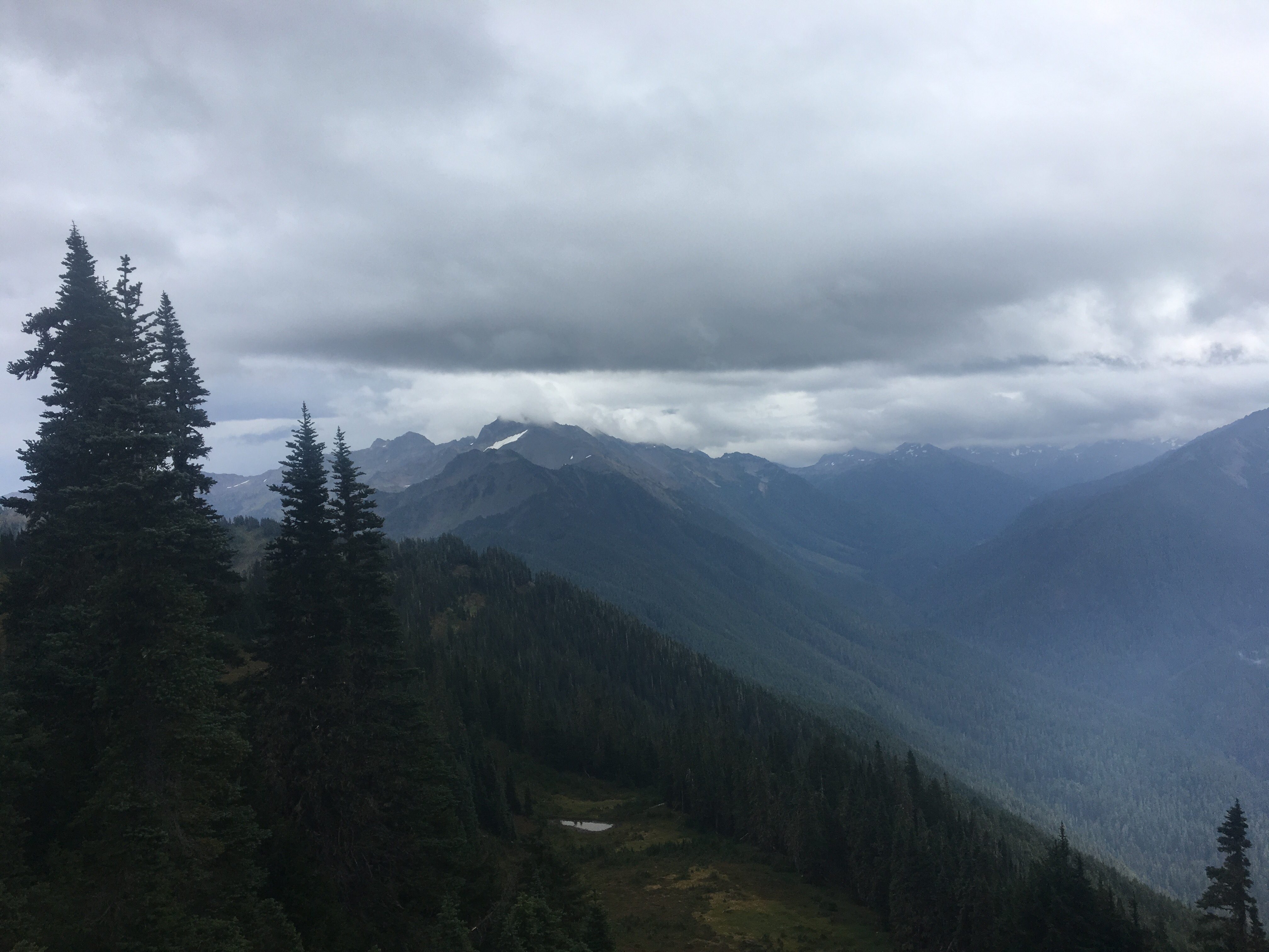
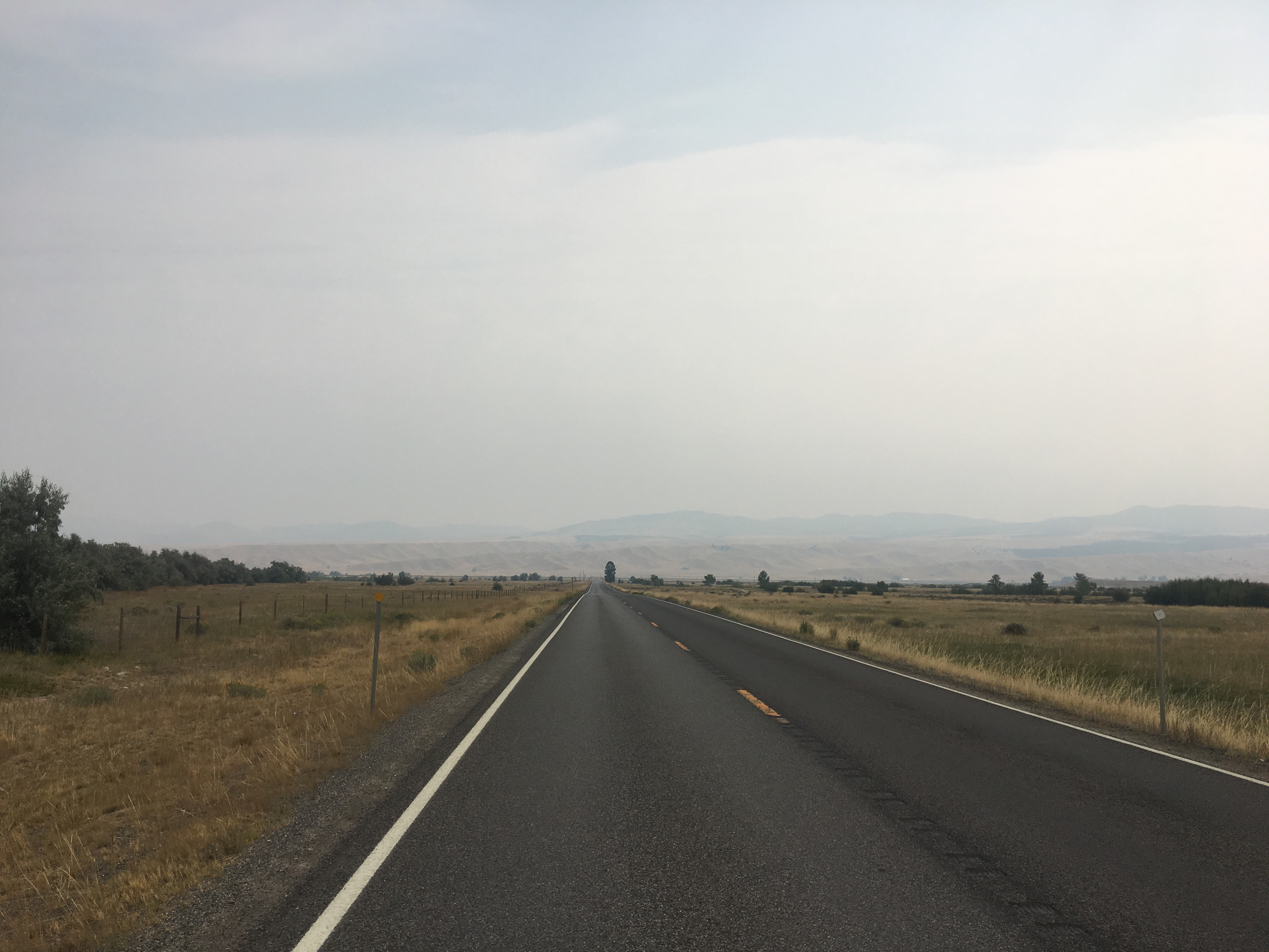
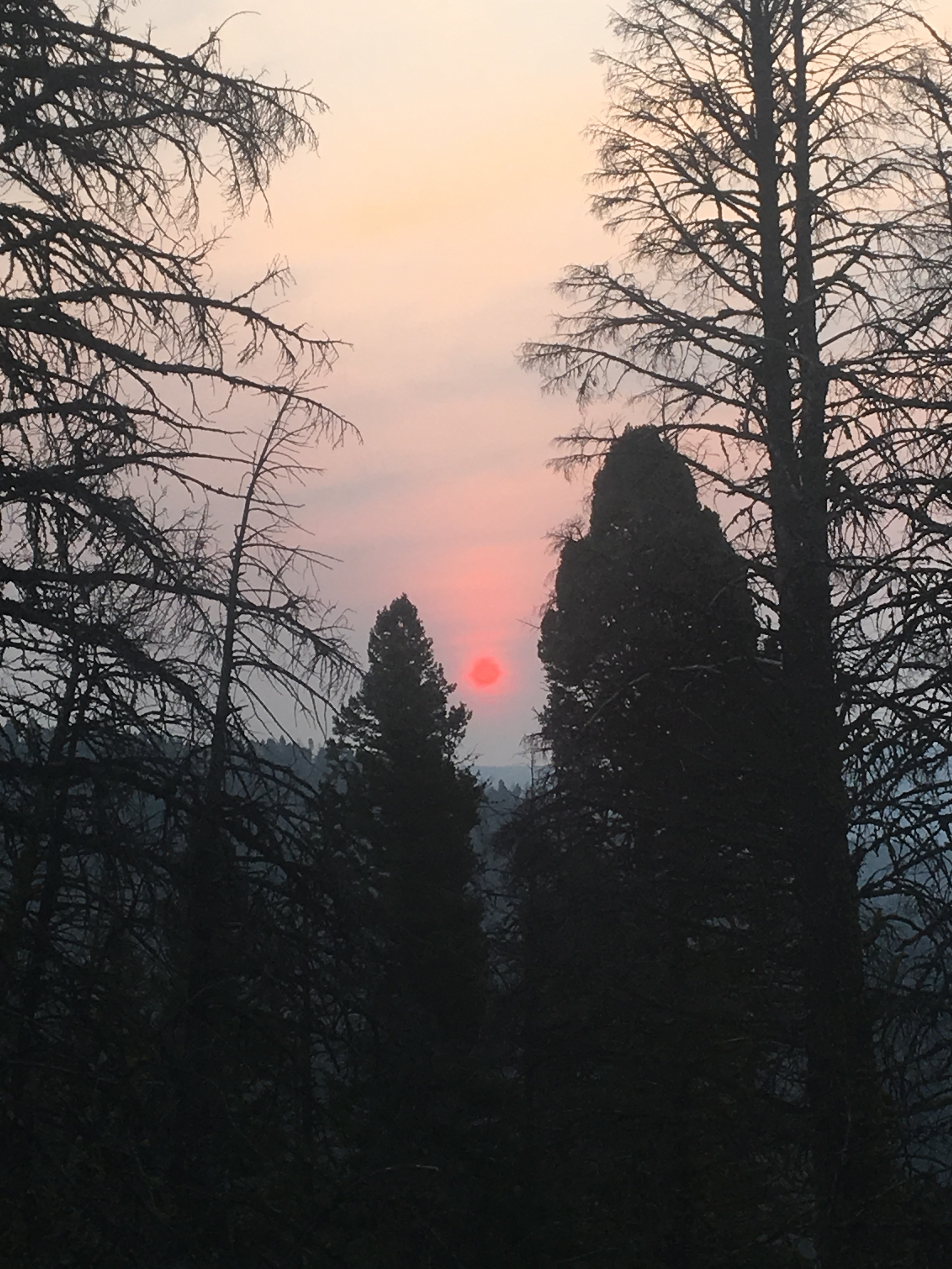
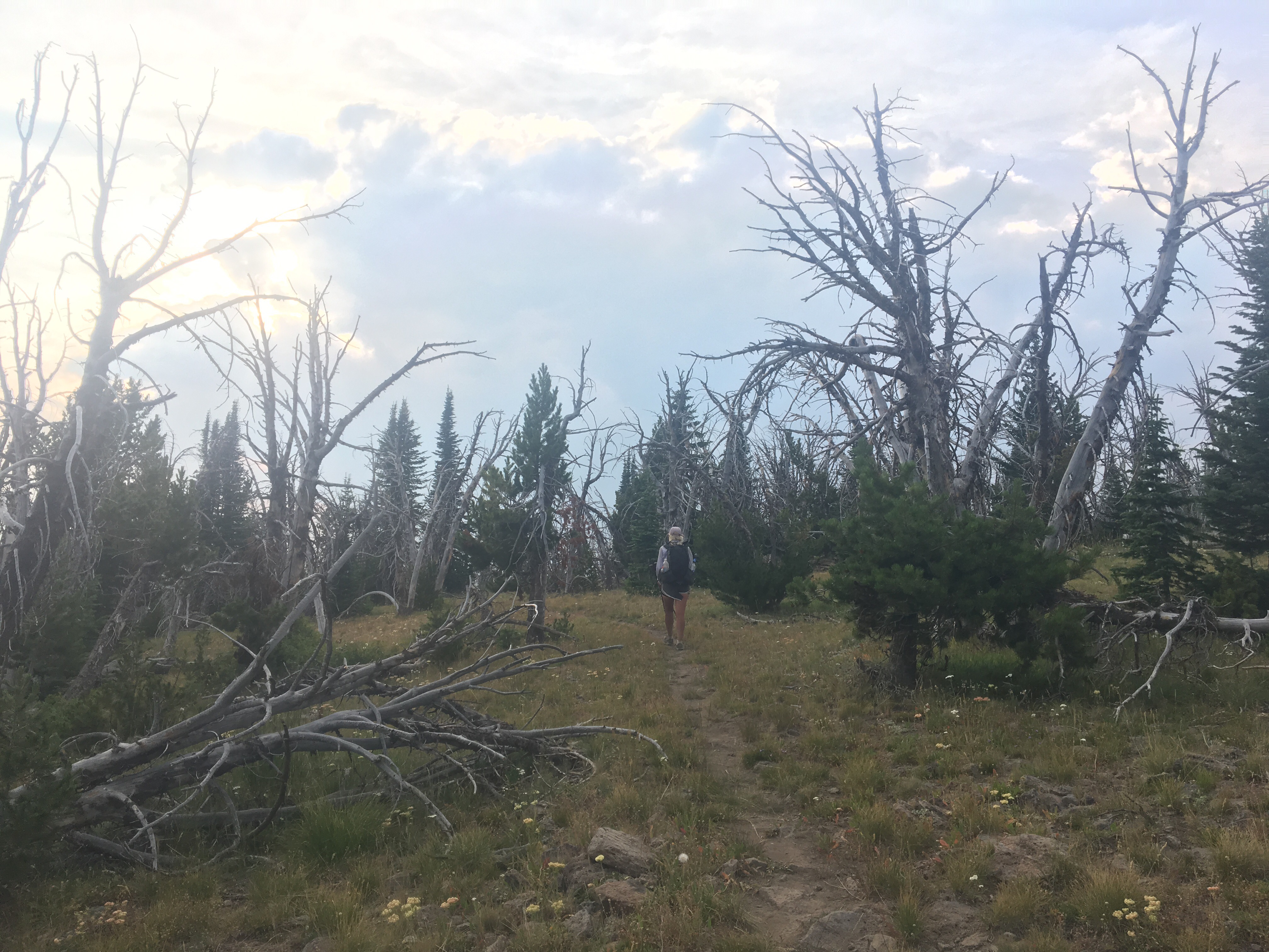
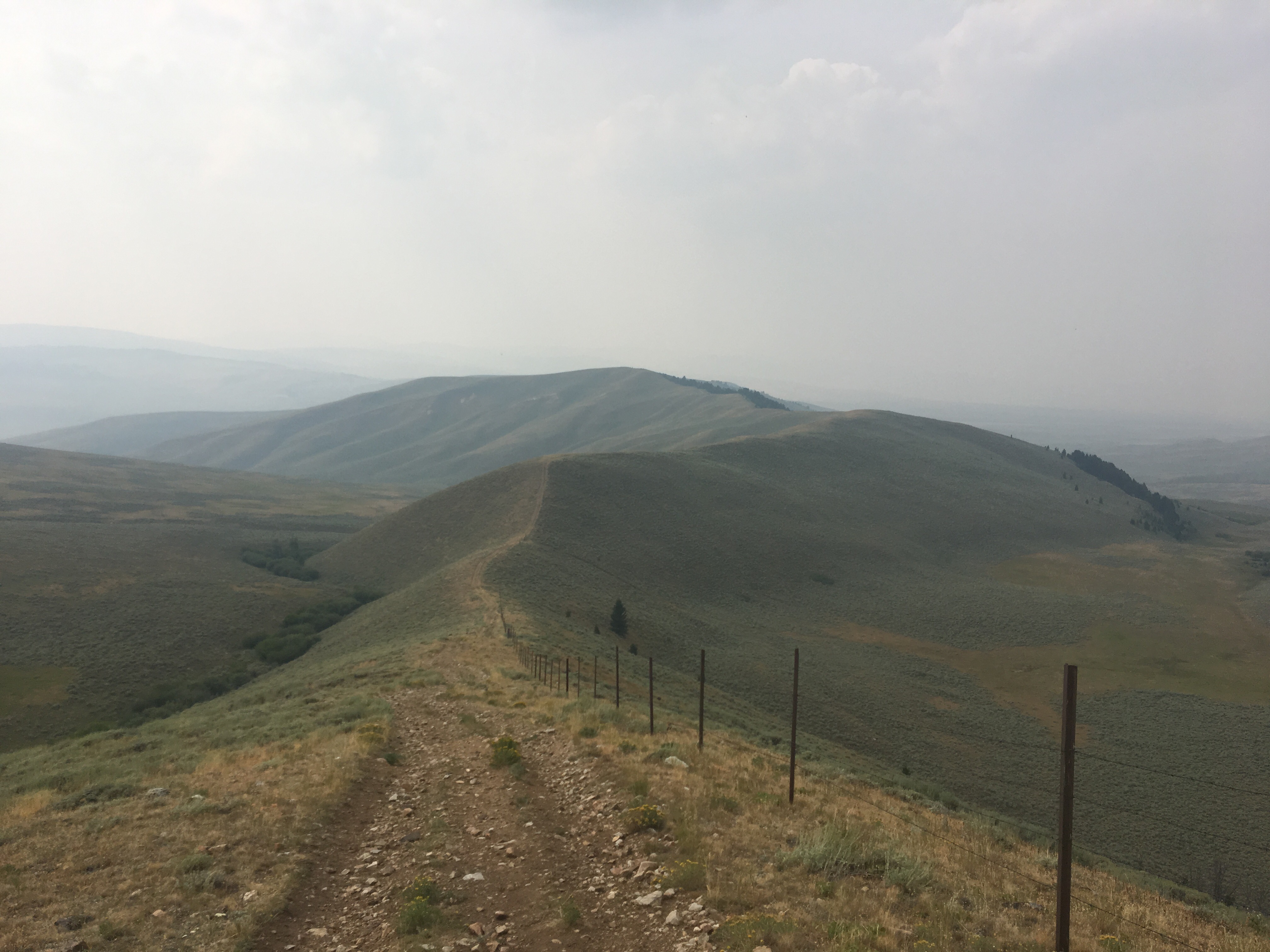
 The sky hazy from distant wildfires
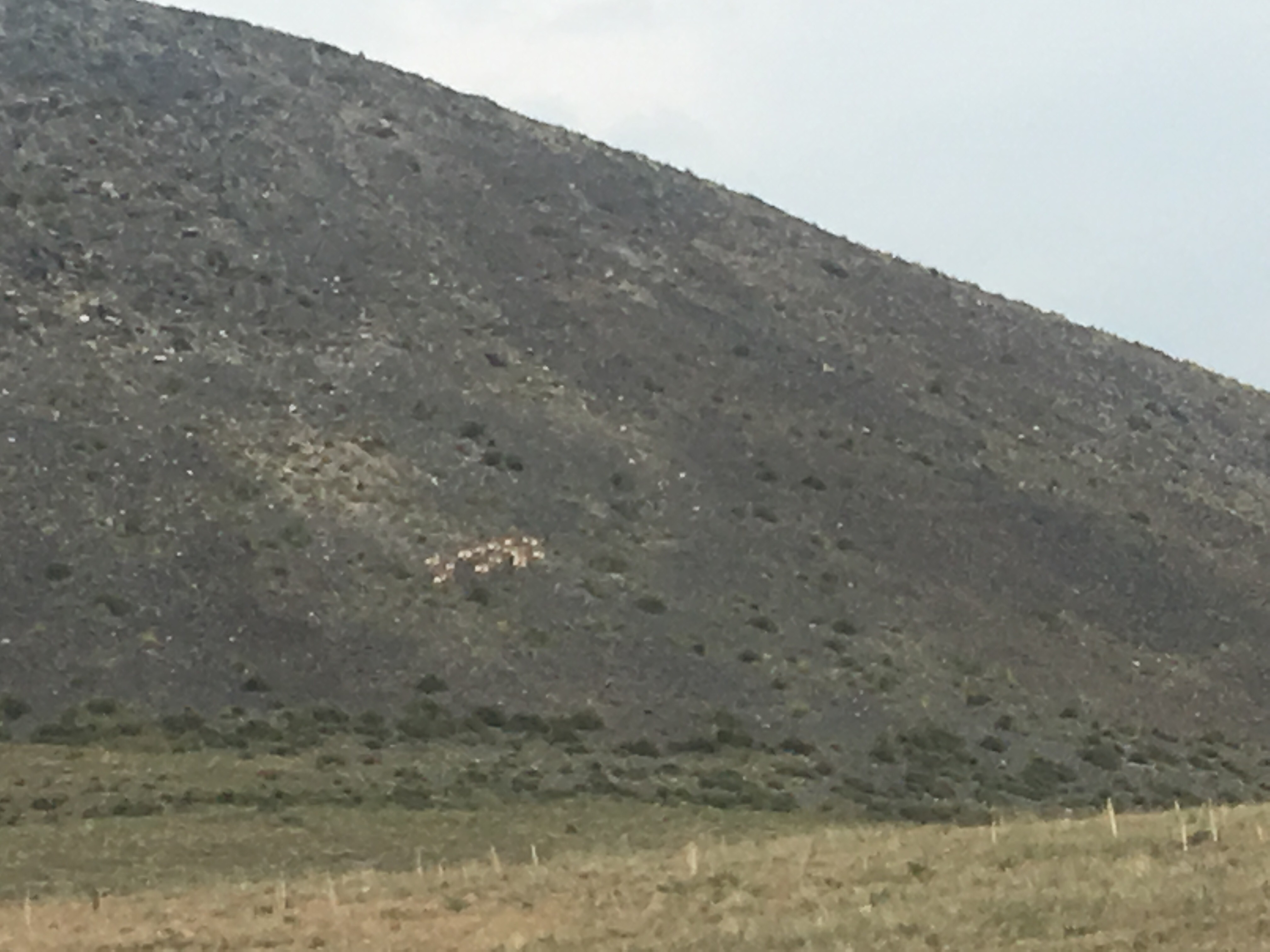
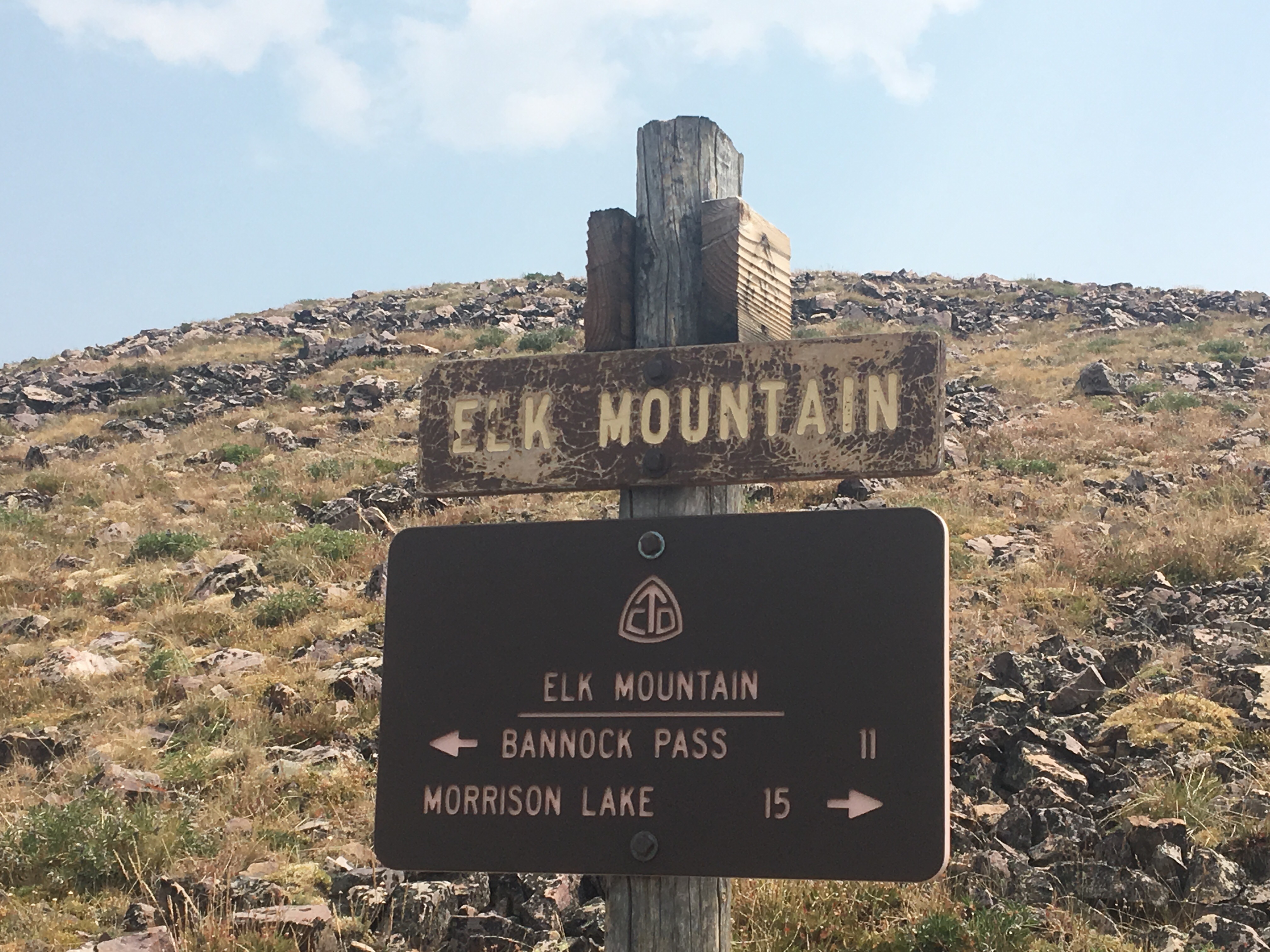

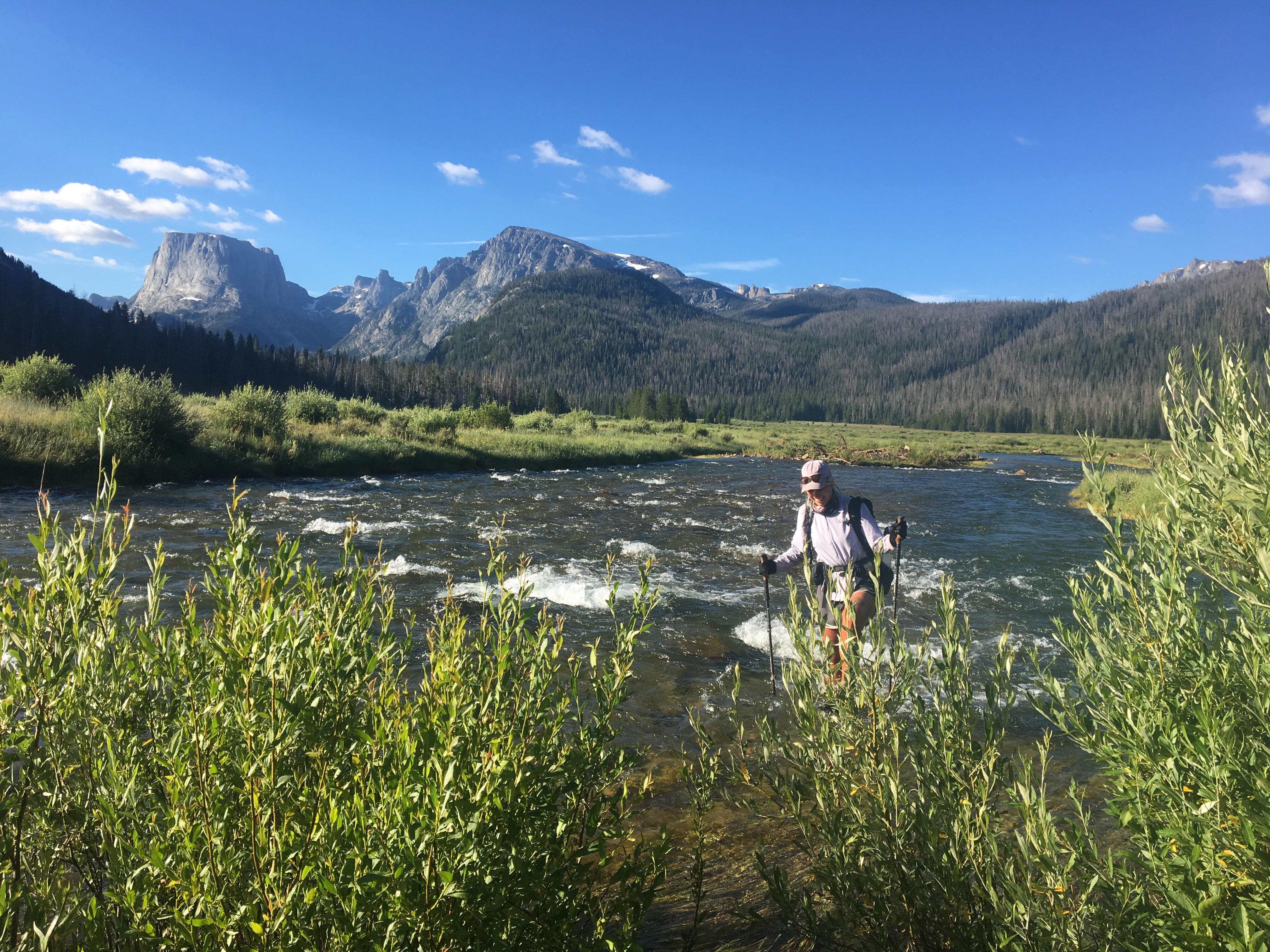
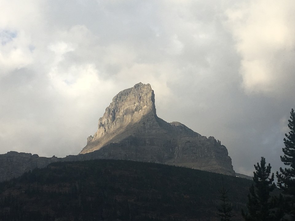
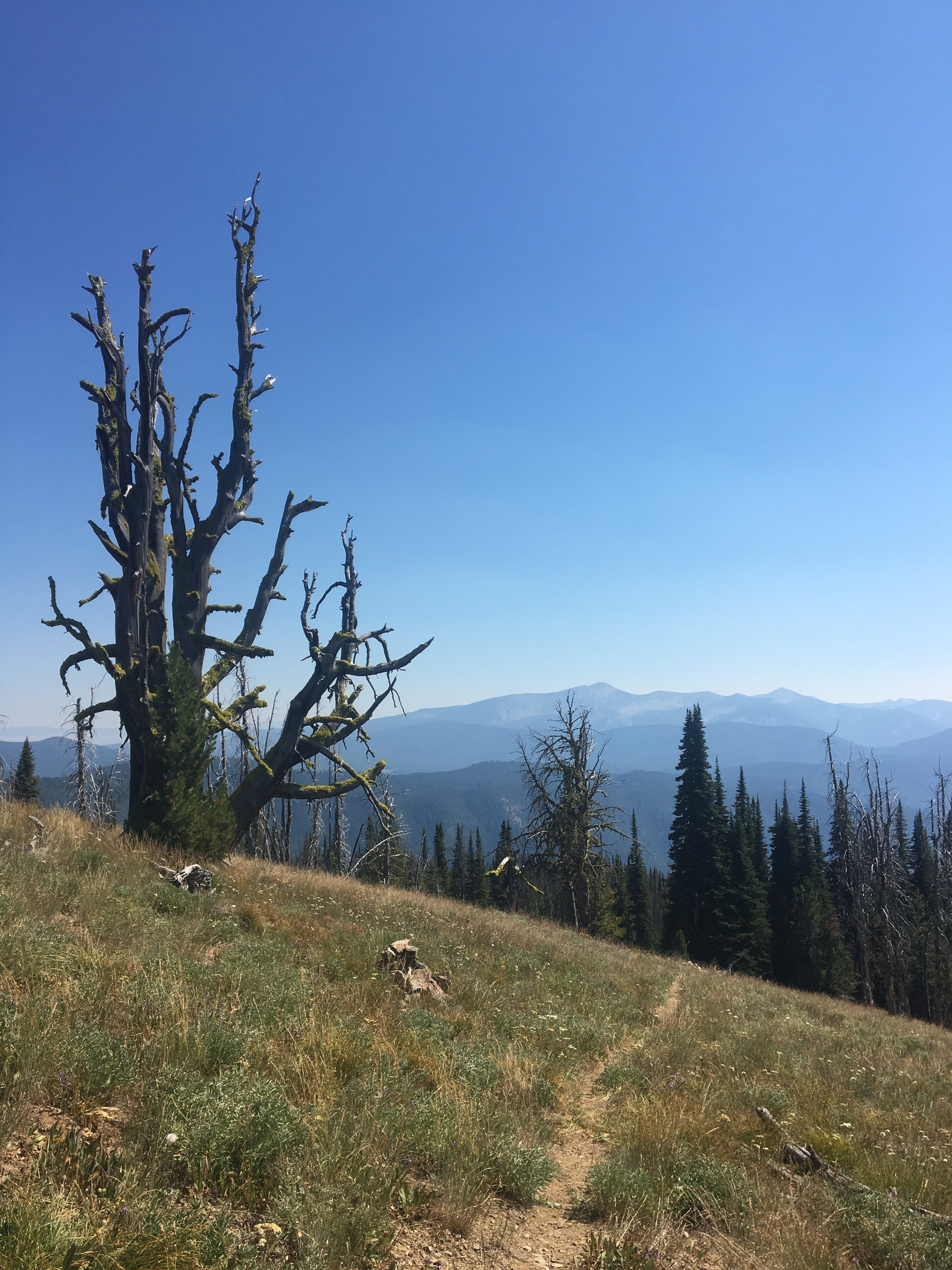
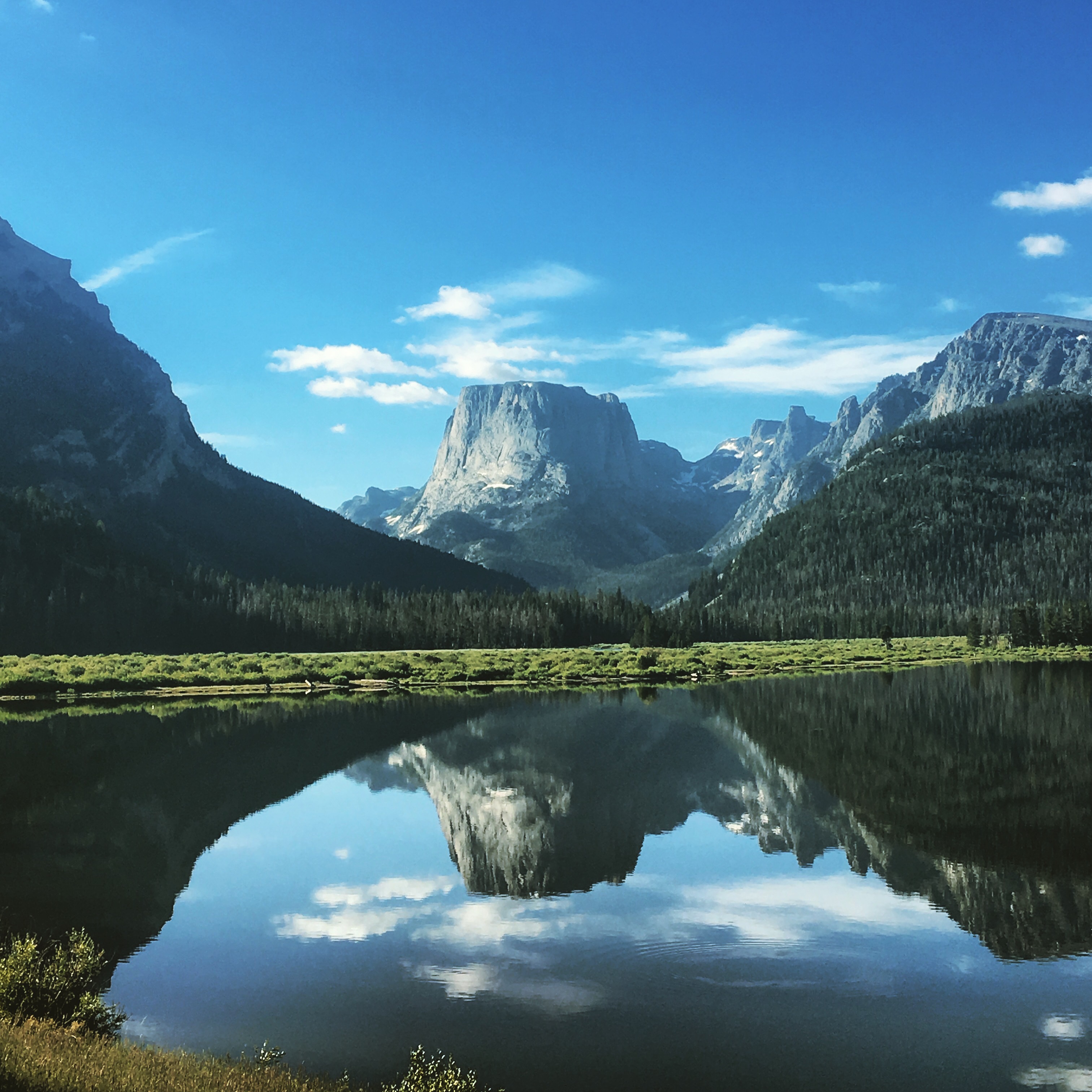 ol’ Square Top