Sept 28 SHR mile 128
I didn’t sleep so well in the Mammoth Lakes Motel 6 last night. Probably the combination of lack of air conditioning, the tractor trailer trucks rolling through the parking lot, or most likely that I’m just not used to sleeping in beds. I ate good though. Sara and I went to Schat’s bakery for breakfast and fueled up on pastries then I went a bit overboard at the Loco Frijole for lunch. I had a chimichanga which I like to think is a not so distant cousin to the Monte Christo sandwich, both usually the most filling item on the menu. Then I finished Sara’s burrito and had about a thousand tortilla chips. 
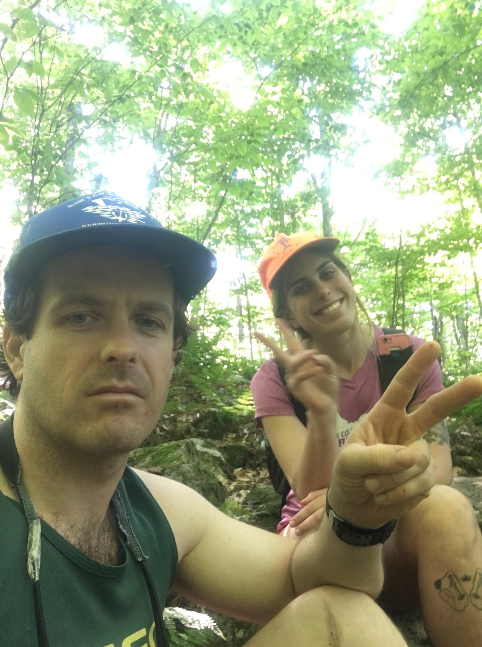
Our pal Golden, the hiker turned trail angel, came by the restaurant around 1:30 and drove us back up to Red’s Meadow picking up a couple other PCT’ers on the way. We were in no hurry to get moving up at Red’s so while we were sitting at the picnic tables out front I recognized this hiker Beardoh. We’d never met before but he, Sara, and I already followed each other on Instagram and knew a bunch of the same people and places. Beardoh is currently wrapping up his season hiking the John Muir Trail and was waiting on a ride down to Mammoth. We talked with him for awhile and as it always happens when I talk to other people that are heavily invested in this lifestyle I start getting all kinds of ideas of other hikes and projects I want to do. 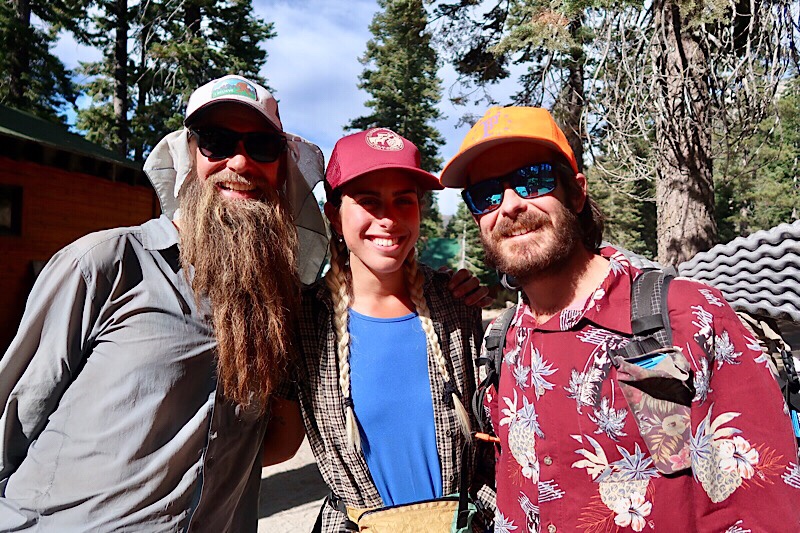
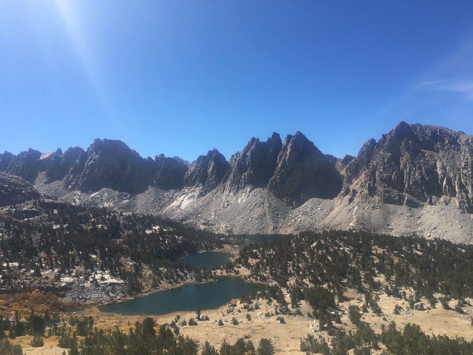
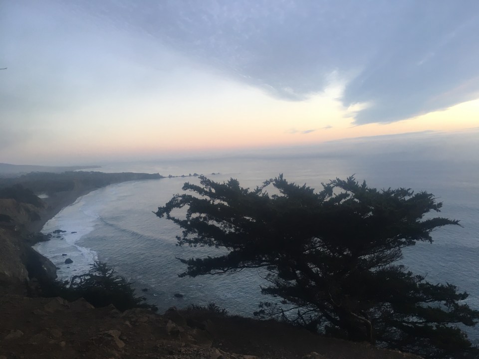
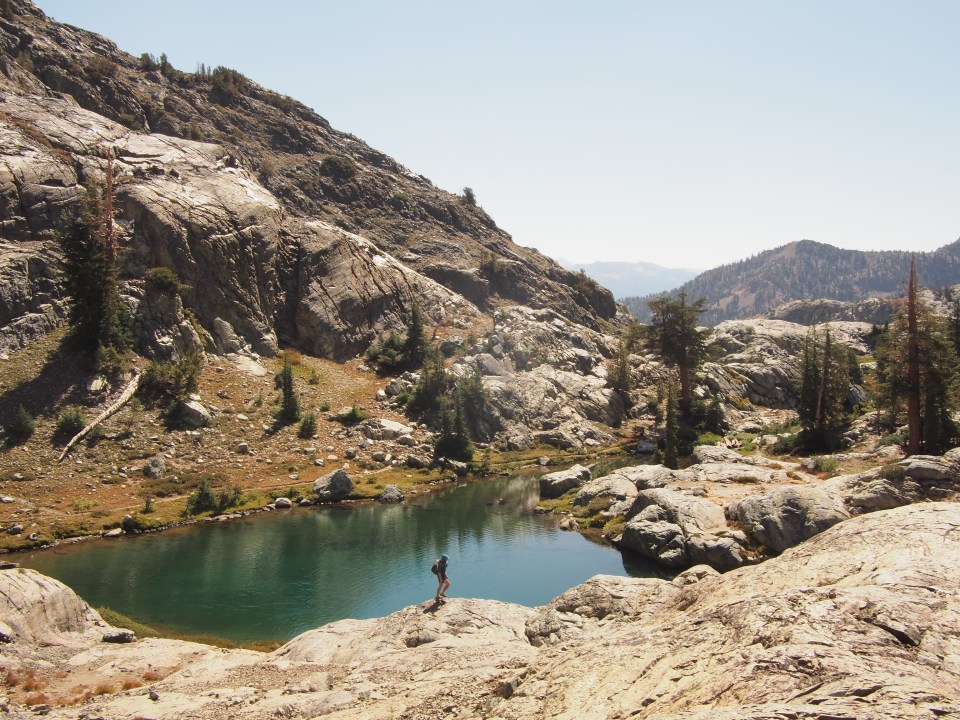
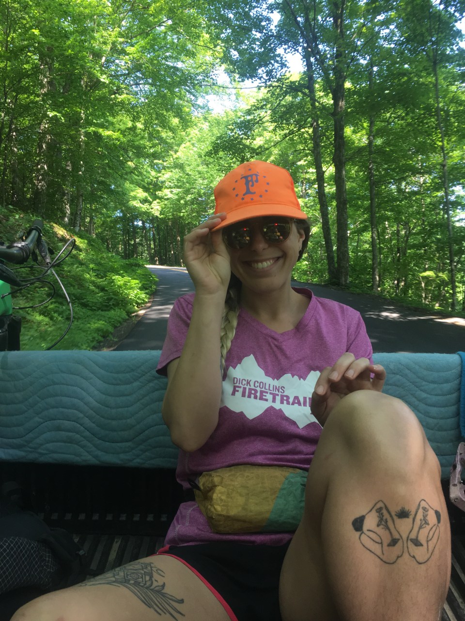
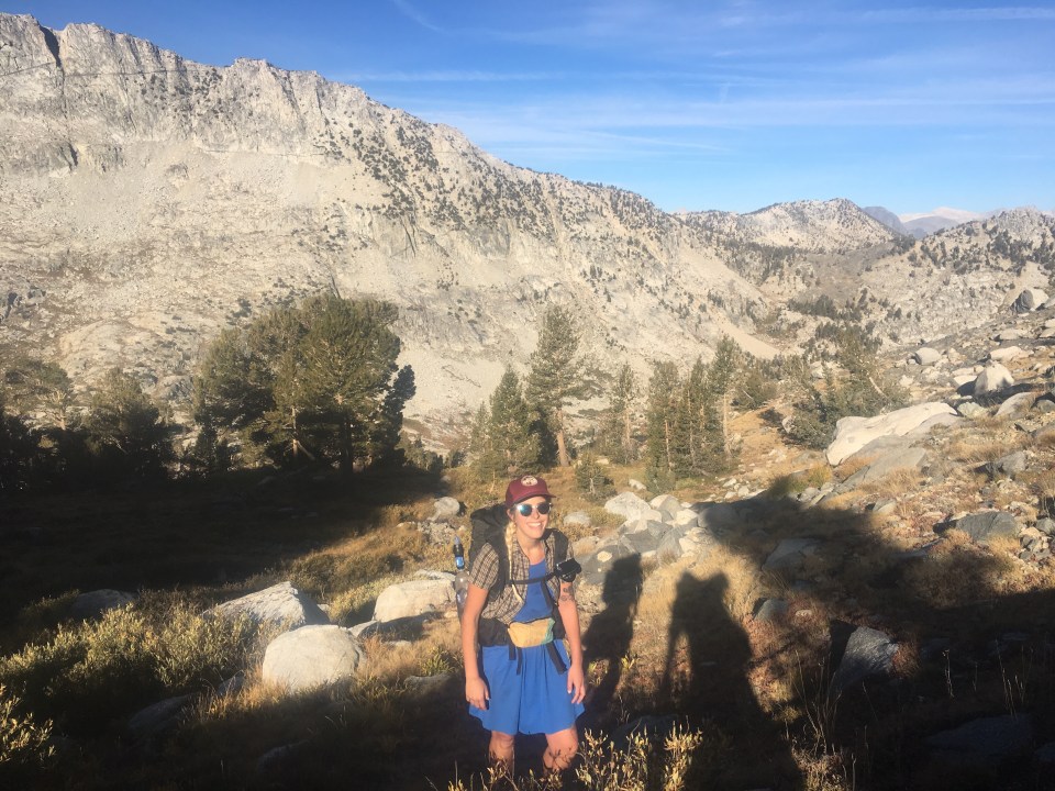
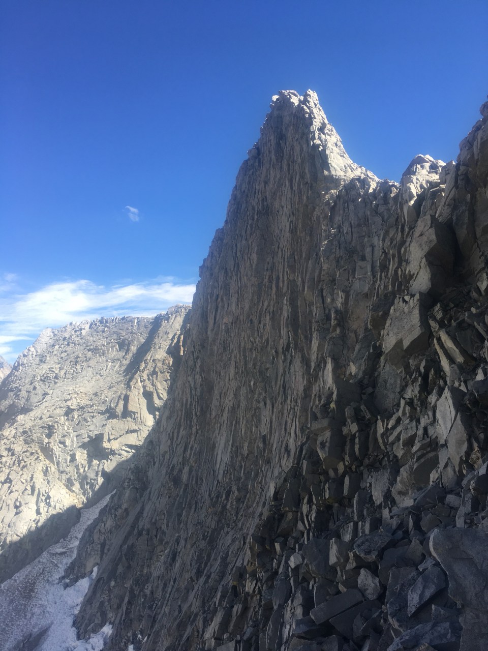
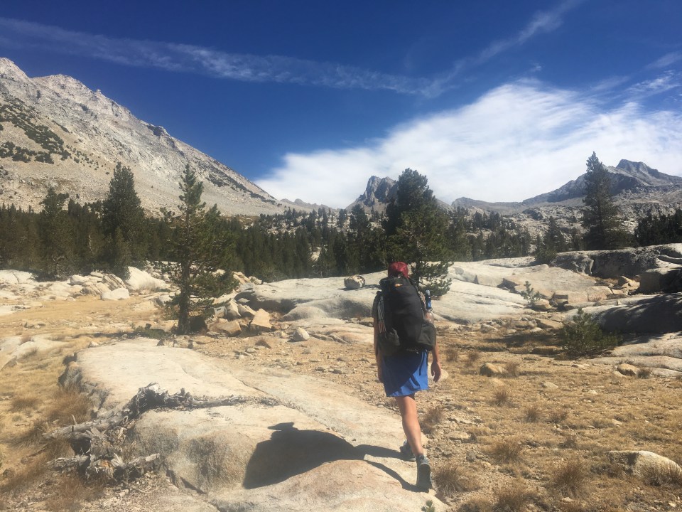
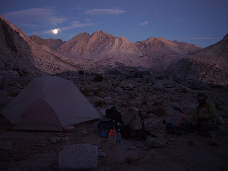
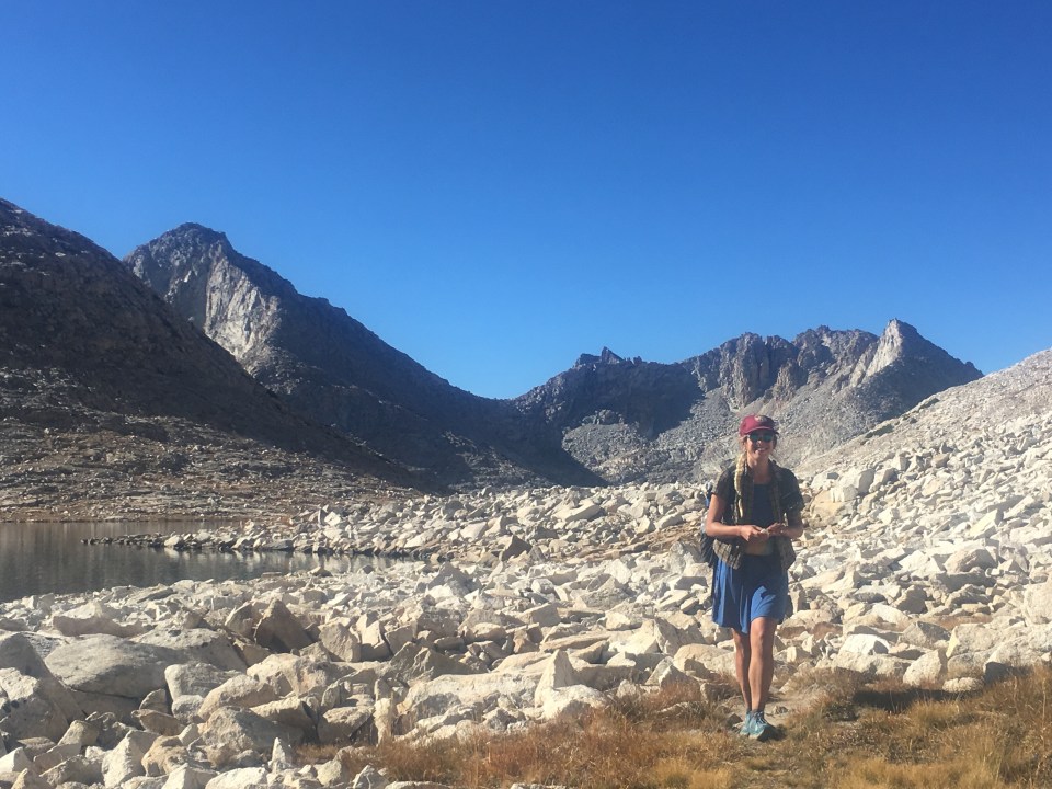
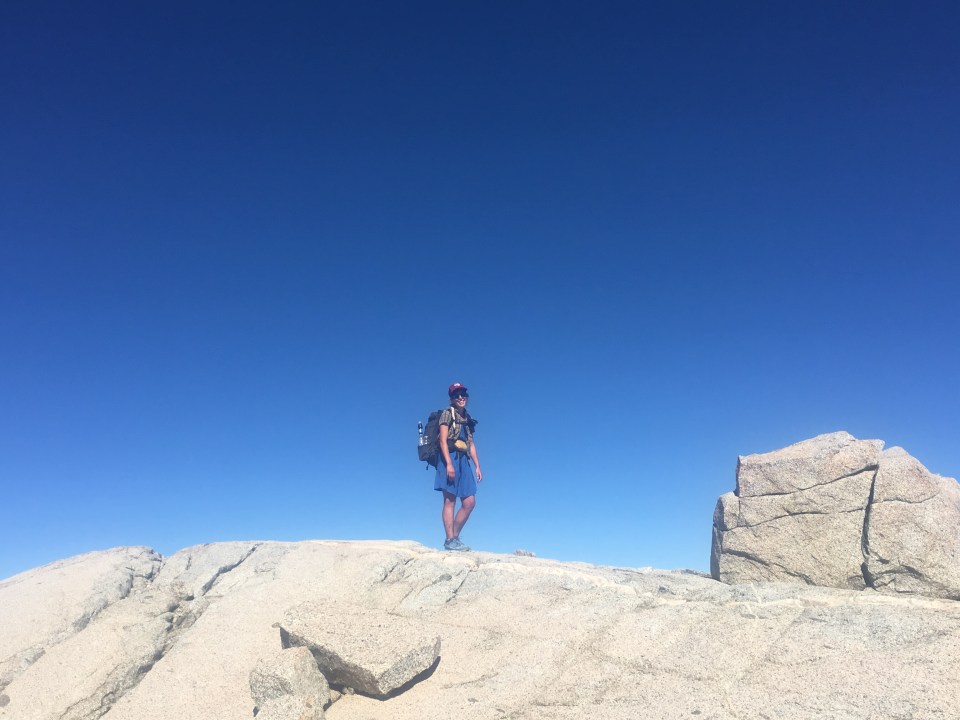
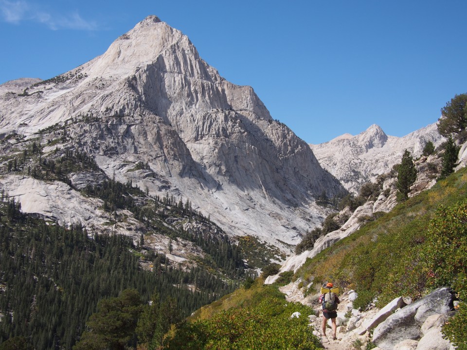
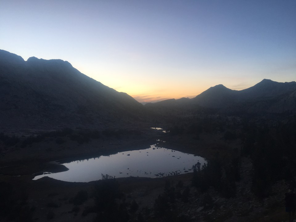
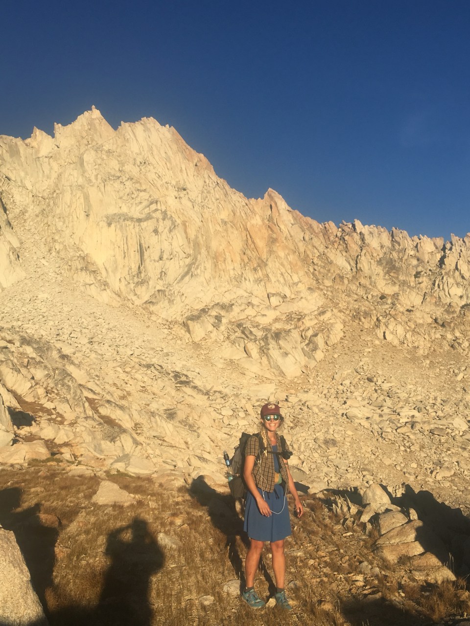
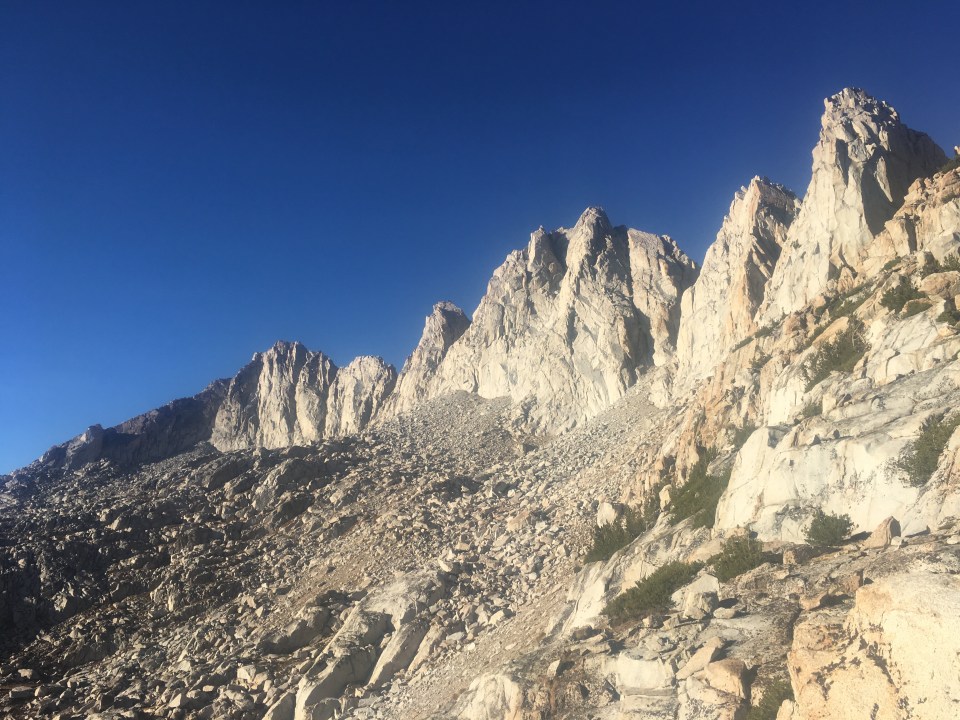
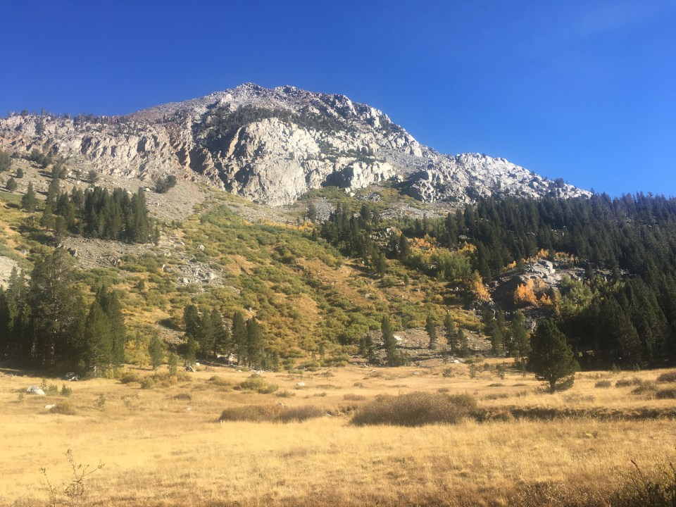
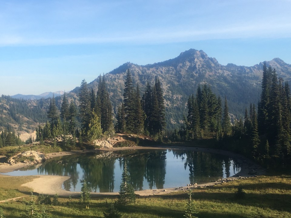
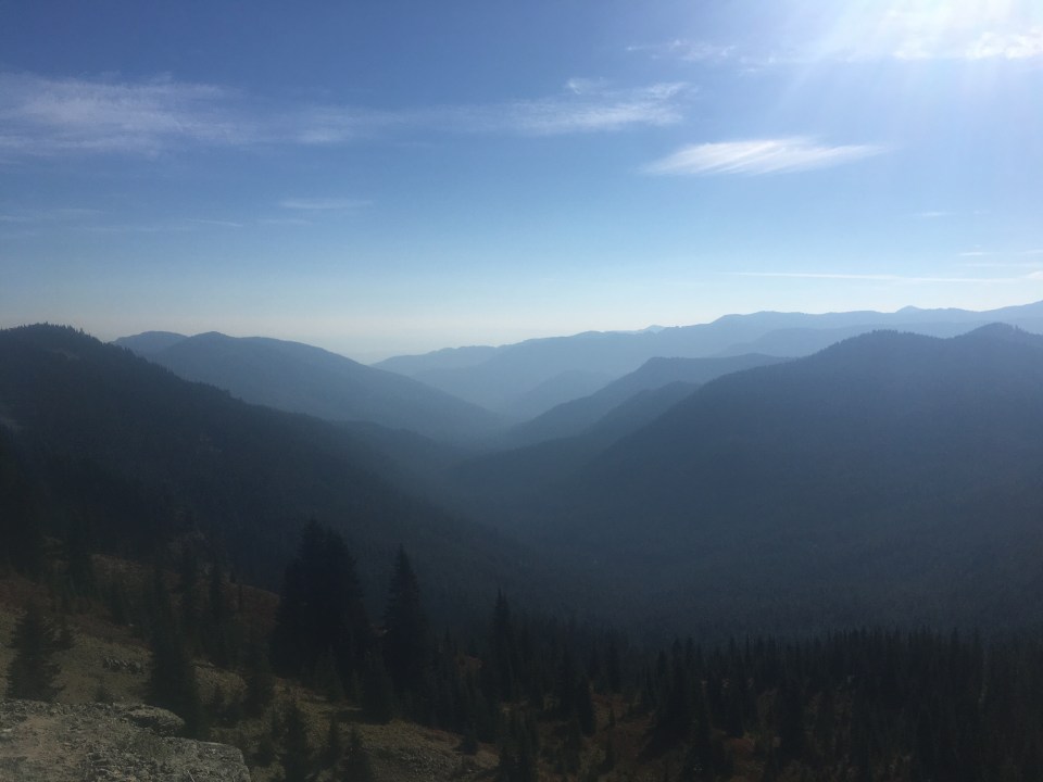
Eventually we got moving. With heavy packs and both trying to digest food babies we were going nowhere fast. We took the Minaret Lake Trail past Devil’s Postpile and skirting Nancy Pass about 8 miles to Minaret Lake. If you’re keeping score at home this is our second easy alternate in a row. Maybe someday I’ll come back and hike over Nancy Pass. Maybe not. Right now I’m cozy in my tent next to this beautiful lake in the shadow of the powerful Minaret spires. And I’m skipping dinner. So full. Soulful.
Sept 29 Independence, CA
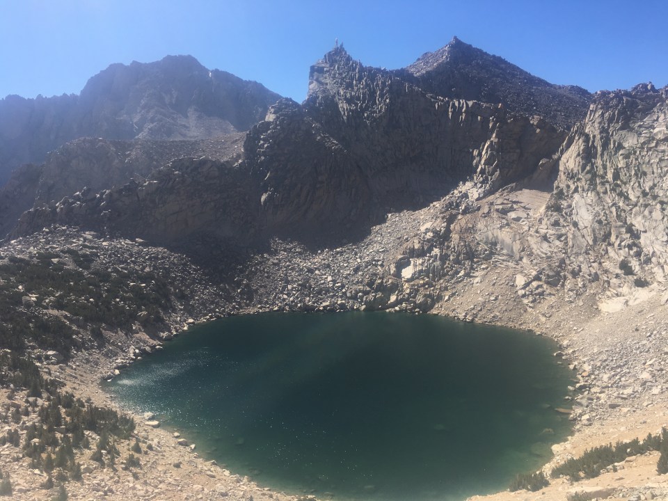
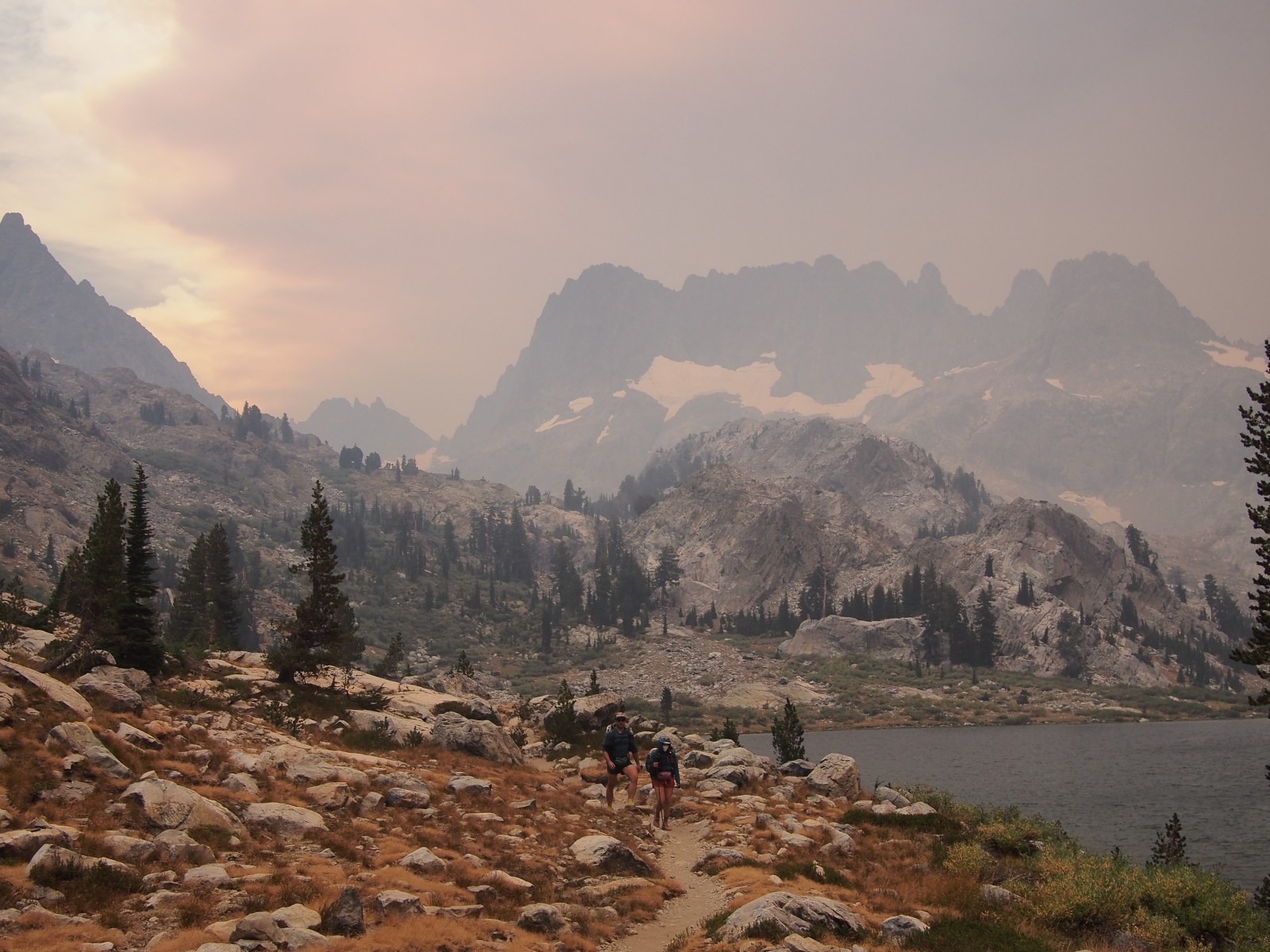
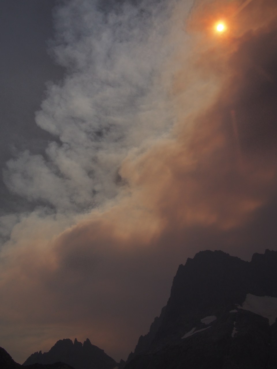
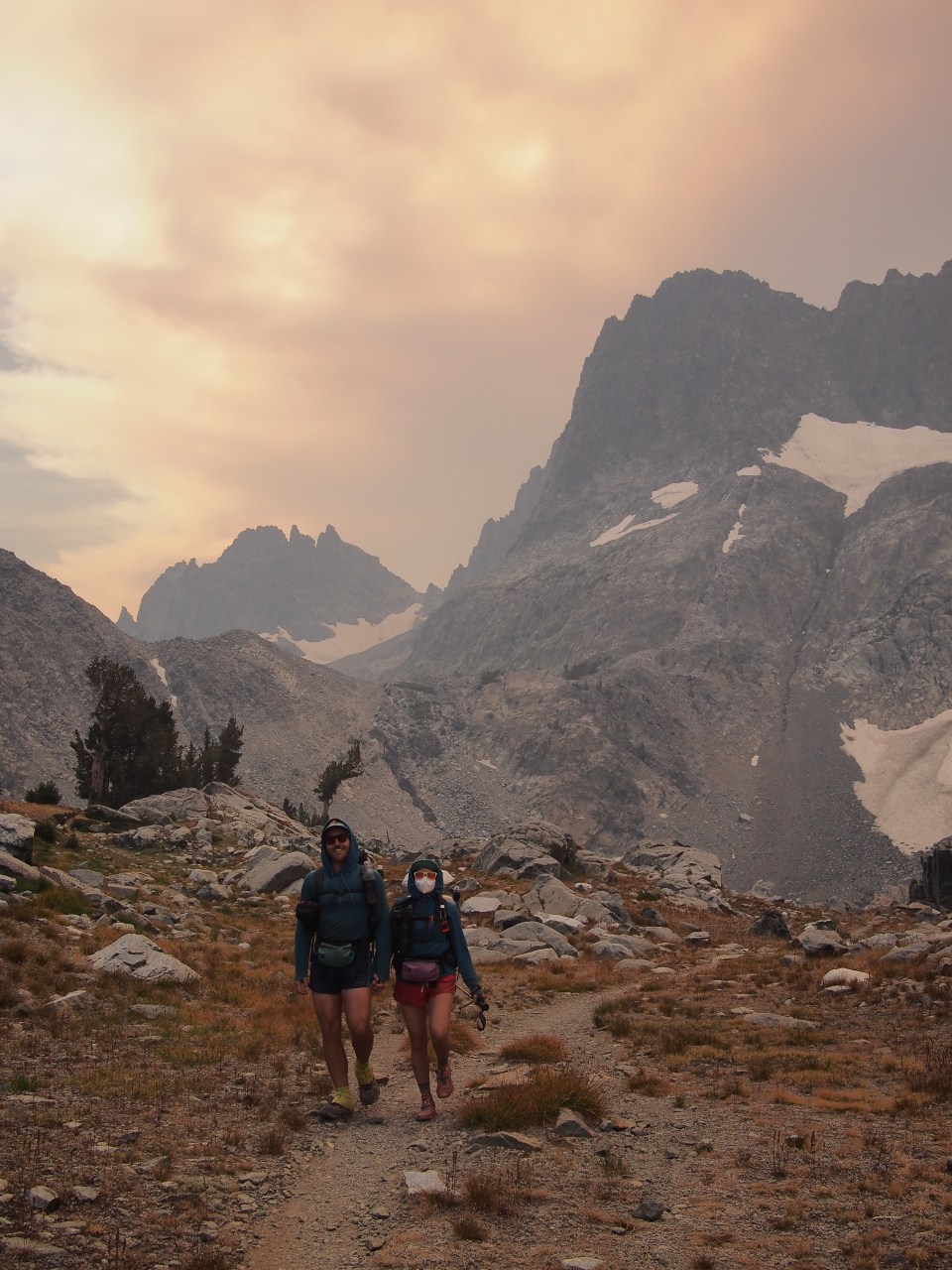
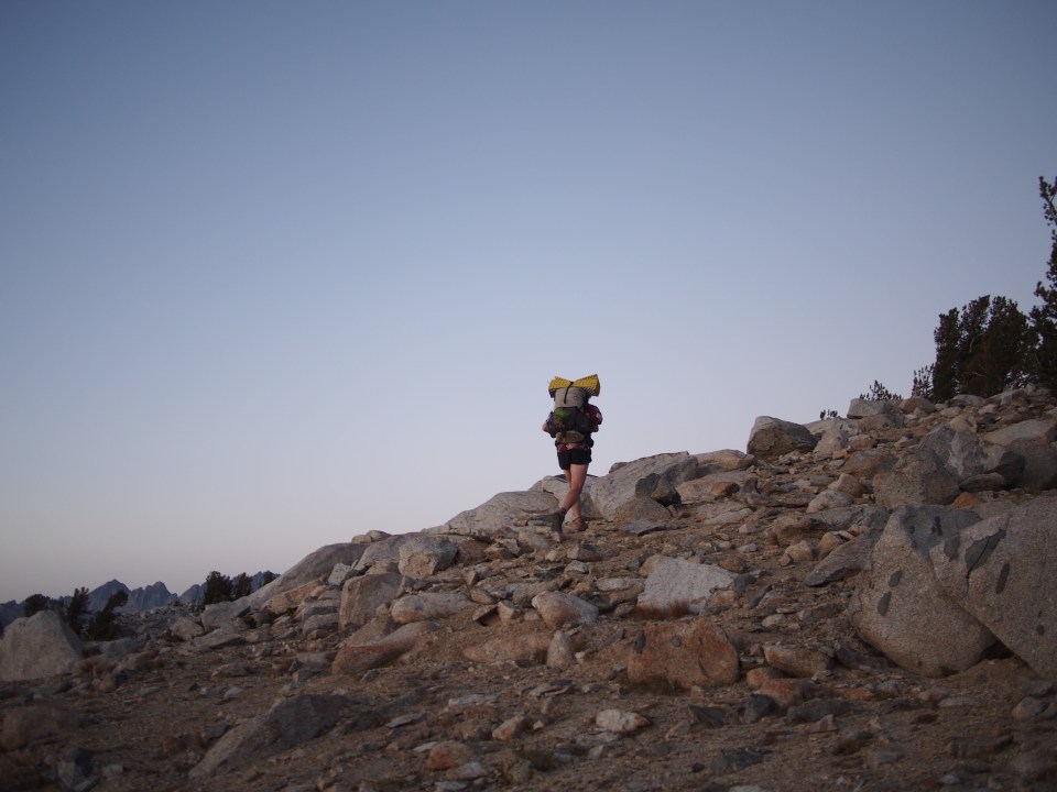
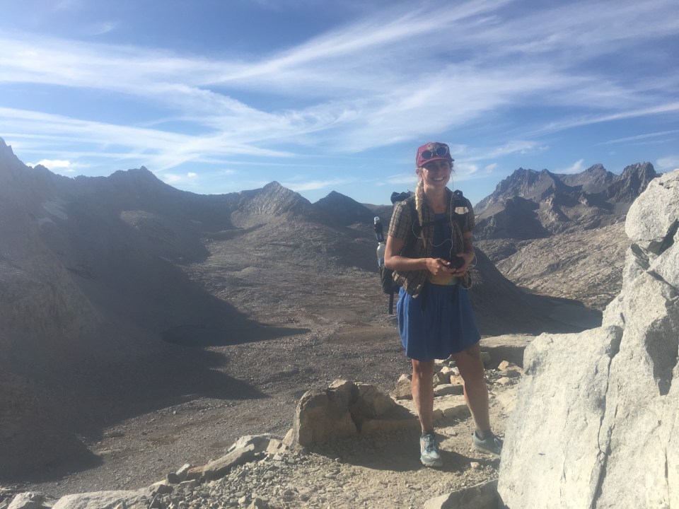
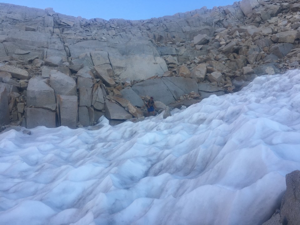
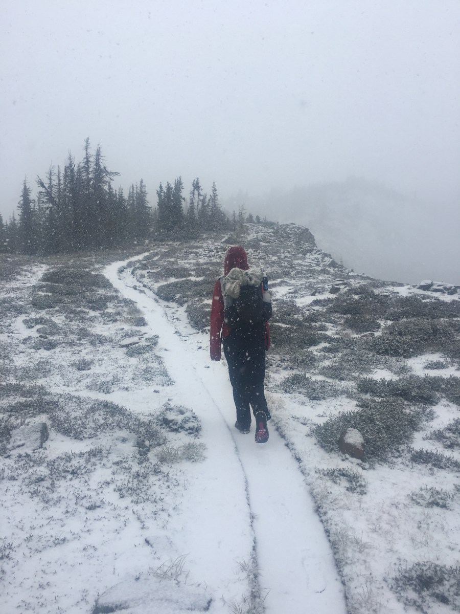
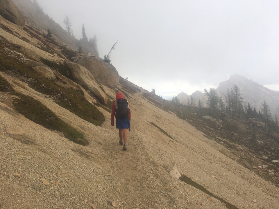
The wind was crazy last night. Every night this week it got windy around 8pm but it would usually stop around 10. Not last night. It was something fierce. All night long it would come and go building up steam whipping sand through our tent with a vengeance. We forgot our tent stakes in the car a week ago so Sara’s been rigging up the 2 most important corners of the rain fly with our shit shovels. The wind knocked these things loose half a dozen times over the course of the night and by sunrise both of us had barely slept and had sand in our eyes, ears, noses, and mouths. Plus all over everything else. Rolling up the tent felt like flying a kite and we were careful not to lose anything as we packed the rest of our gear. Maybe it would settle down but if it didn’t neither one of us was in the mood to crawl across talus fields in order to stand on top of a pass in this weather. We decided to head back to Red’s Meadow the way we came in and start returning to the car. In essence we did about 60% of the Sierra High Route plus an overnight out and back to Minaret Lake. 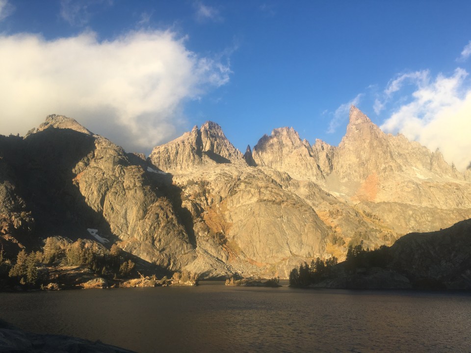
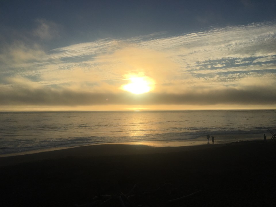
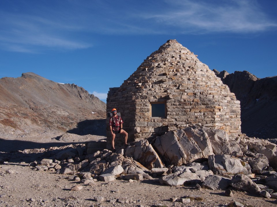
When we got to the road by Devil’s Postpile(a national monument and geological wonder) the first car coming by was our buddy Golden. He drove us back into Mammoth where we grabbed breakfast and reserved a rental car from Hertz at the Mammoth Airport. We got a quick hitch from an Oregonian, Maryann, who drove us the 15 minutes out of town to the airport. There was nobody there. Sara called Hertz and a woman told her they don’t have any cars today and they only rent them from the in town location anyway. The woman gave Sara some nonsense about how you can’t book the cars online from the airport and then something about fine print and some other bullshit. No big deal, we’ll just figure something else out. The thing is, as the crow flies the car isn’t too far away, but you can’t get there from here as they say. It’s a 6 hour drive all the way around the mountains. Instead we figured we’d hitch south to Independence then hike 20 miles up and over Kearsarge Pass to the Bubbs Creek Trail and back to our car. 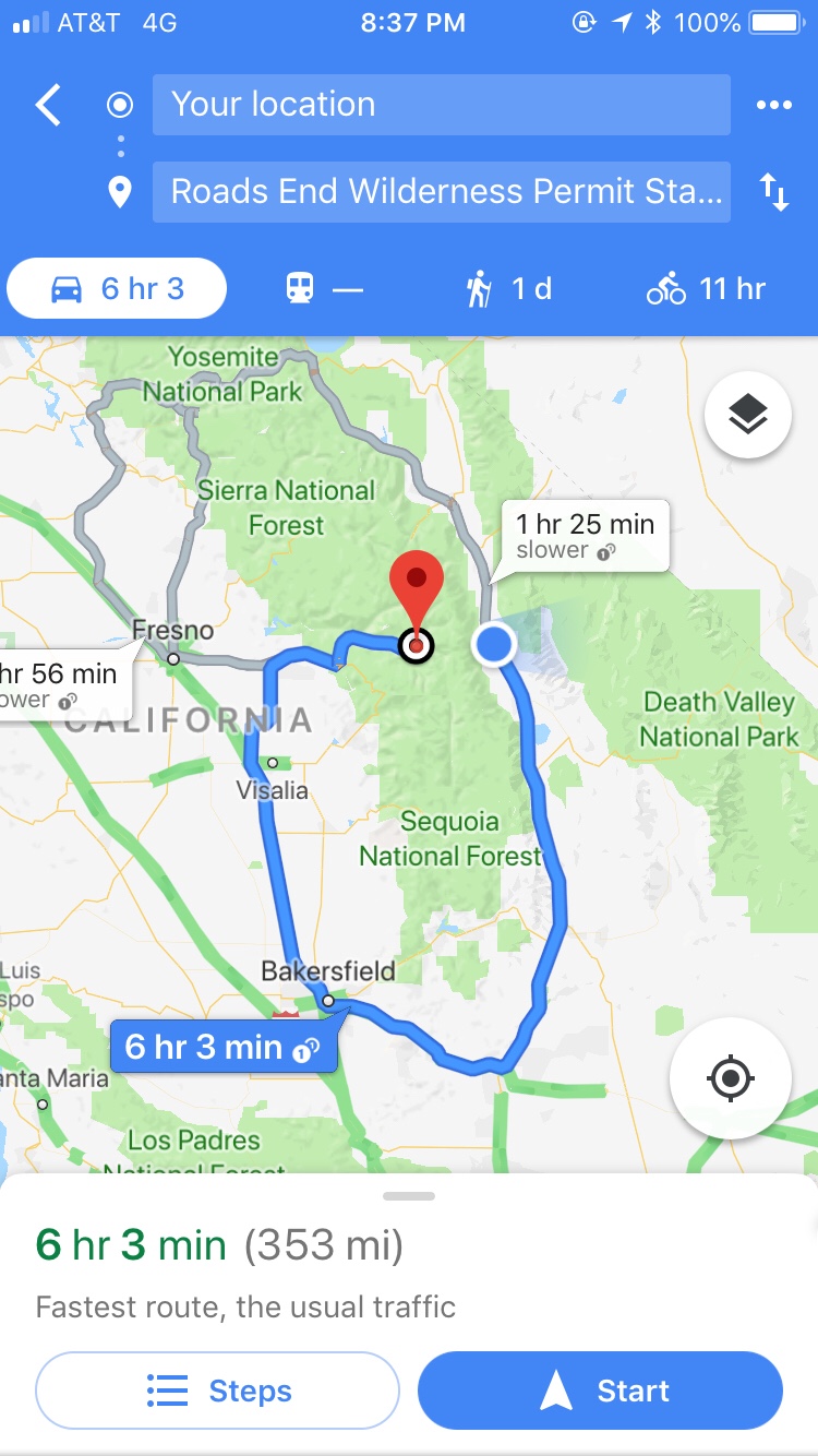
Too bad the airport is a couple of miles from the highway with zero traffic so we had to hoof it. Once we walked got back to 395(the highway through Owen’s Valley east of the Sierras) we got picked up by a French Couple, Ben and Margaux. These two were traveling the US in a camper van and drove us an hour and a half south to Independence. In exchange we helped them with converting the metric system to the wacky way we measure things in the US.
Independence is a tiny little Highway town with just the essentials. We got a room at the Winnedumah Hotel, most likely haunted, then ate burgers at the Still Life Cafe. It’s the only show in town but the food was good, reasonably priced, and the setting was straight out of another era with a piano in the corner and swing music playing. 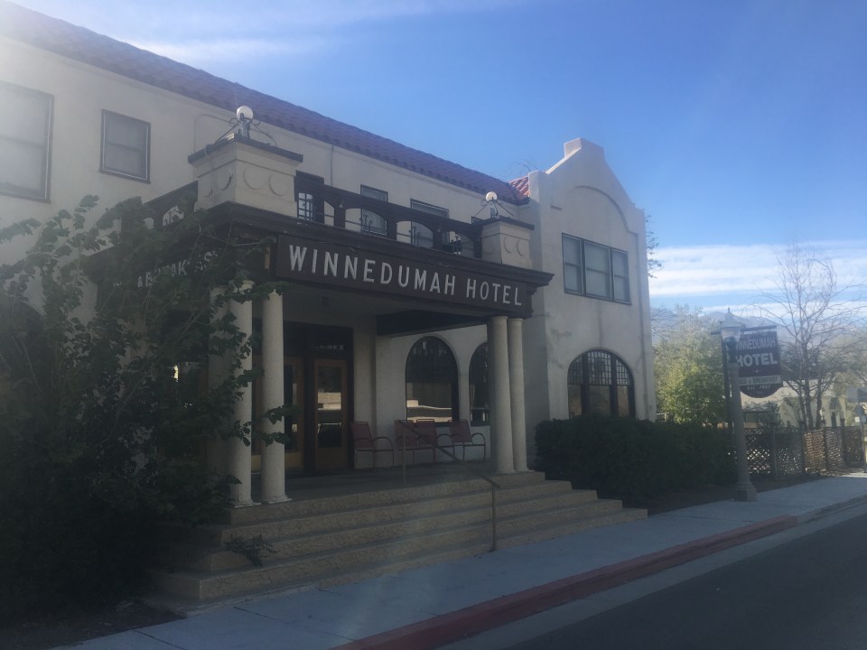
A few of our buddies; Mac, Appa, and Moist drove up this way from LA to start their own little adventure in the Sierras. They were planning on camping just to the south of us in Lone Pine tonight but drove up to Independence and we ate gas station ice creams across from the hotel. 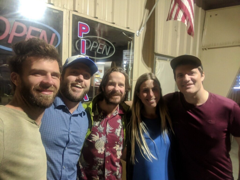
Sept 30 Convict Flat CG Sequoia NF
I slept decently in the Winnedumah, especially for a haunted hotel, and they put on a pretty good breakfast; homemade quiche, banana bread, and waffles. After breakfast we started walking towards the Onion Valley Trailhead and put our thumbs out. The first car that drove by stopped for us and Dan and Karen, a couple of hikers from Stockton, drove us up the steep winding road to the beginning of the Kearsarge Pass Trail. 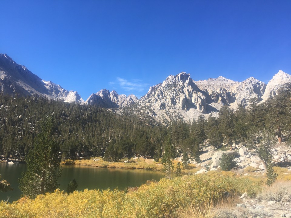
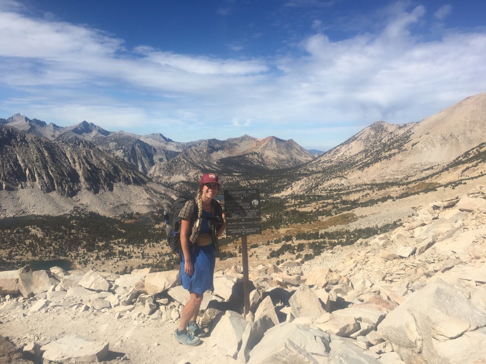
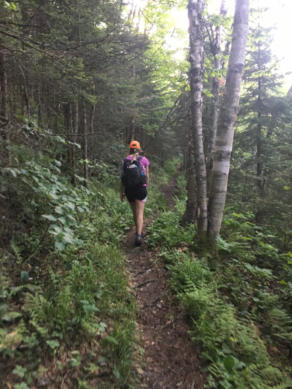
It’s about 5 miles up this big beefy pass but the trail is all switchbacked and smooth so it was easy going. On the way up we ran into this kid Vulture that we met back in March in Oracle, AZ at the beginning of the Arizona Trail. He’s had quite a season hiking the AZT now currently southbounding the PCT. Today he was just going over Kearsarge Pass to get into town to resupply. I did the same thing when I hiked the PCT and I remember Kearsarge, even though back and forth it added something like 16 miles, to be a highlight of the Sierras. It still is. 
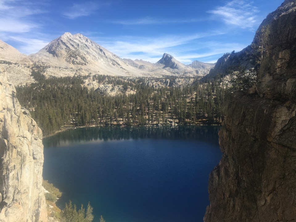
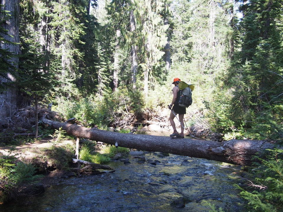
On the way down from the Pass we walked past beautiful Bullfrog lake among others and eventually made it to the Bubbs Creek Trail. For the next 14 miles we walked mostly mellow trail along Bubbs Creek and through a canyon until we got back to Road’s End where we parked 9 days ago. We drove a half hour out of the park and pulled into Convict Flat CG same place we camped before we started this hike. 

Oh yeah we saw this massive hawk today right next to the trail. He/she was perched on a dead stump of a tree about eye level 10 feet away from us. We stopped and just watched it for awhile and it barely moved but looked like maybe it had something in it’s mouth. For experiences with birds of prey, it was right up there.
Oct 1 Big Sur, CA
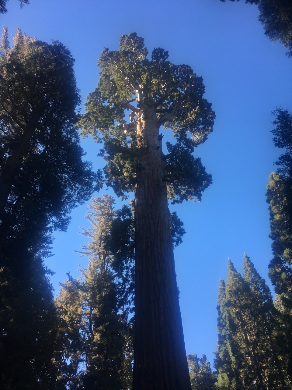
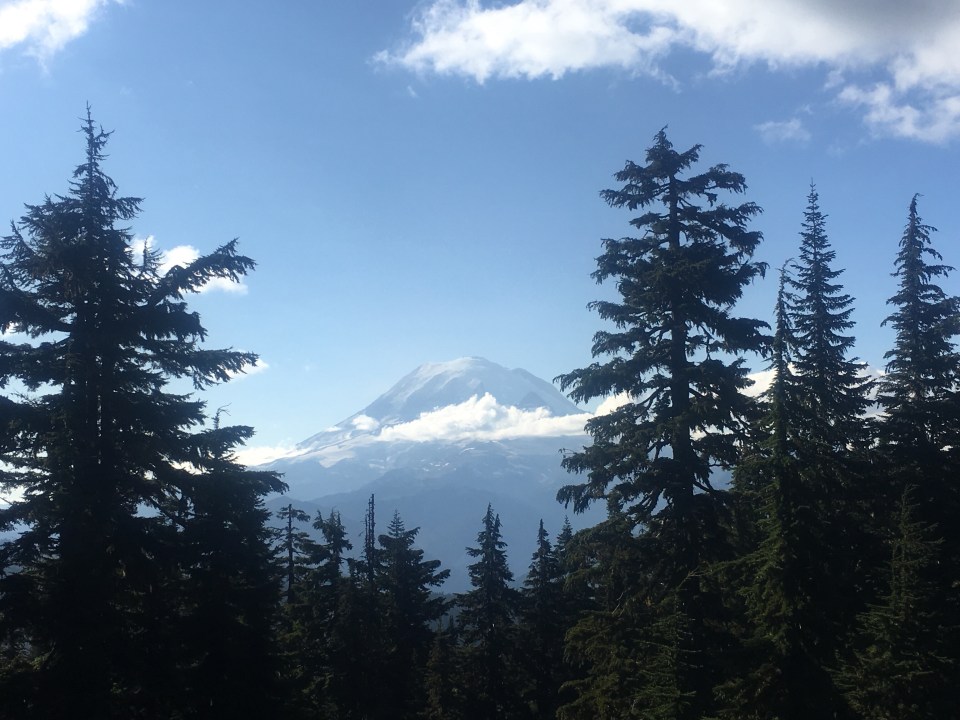
This morning we drove the winding road from our campsite to the General Grant Grove. This is the original National Park that was later on taken over by King’s Canyon NP and consists of a grove of massive sequoia trees. No doubt very impressive. We walked around admiring all these gigantic trees including the General Grant tree itself, the third largest tree in the world by volume. 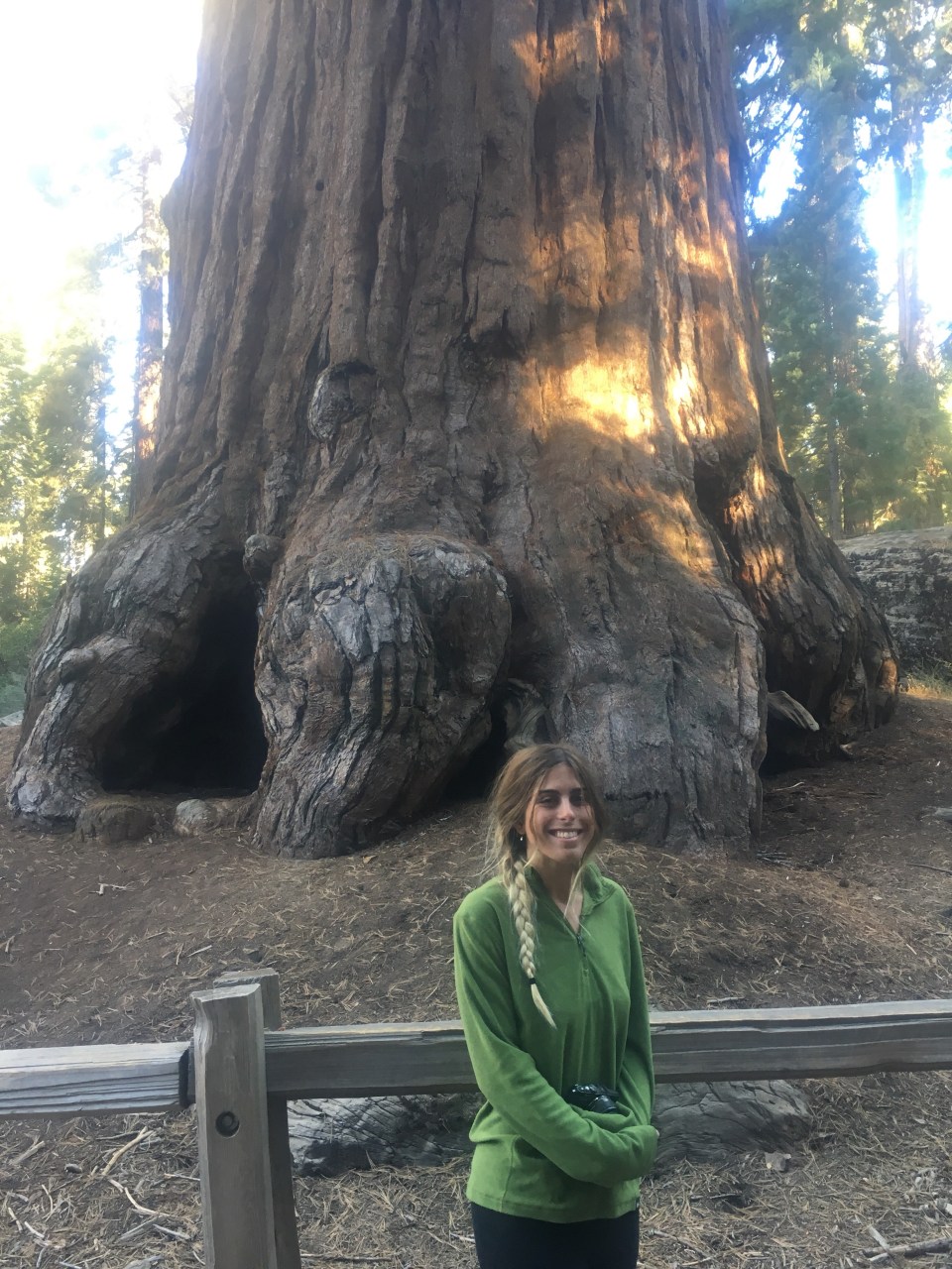
After our little nature walk we began driving an even windier road all the way through Sequoia National Park and eventually down to the valley.
The rest of the afternoon was a bit frustrating. Last night when I started the car after letting it sit for 8 or 9 days, a bunch of the dashboard lights were on; check engine, brake, eyesight, low air pressure, oil temp, etc. I figure it’s just something electrical and all I needed to do was go to an auto parts store and have them reset it with their code reader. The thing is they don’t do that in California and I need to either go to a shop or go to a dealership. First thing I did was get an oil change(needed to do that anyway) then we drove around going to a couple different auto parts stores, then I disconnected the battery, reconnected it without change, then I tried calling a Subaru dealership but they said I could only get an appointment a few days out. It’s been frustrating and annoying to have all these lights on. Hopefully it’s no big deal. I’ll go to a shop next time I see one. Or when I get home.
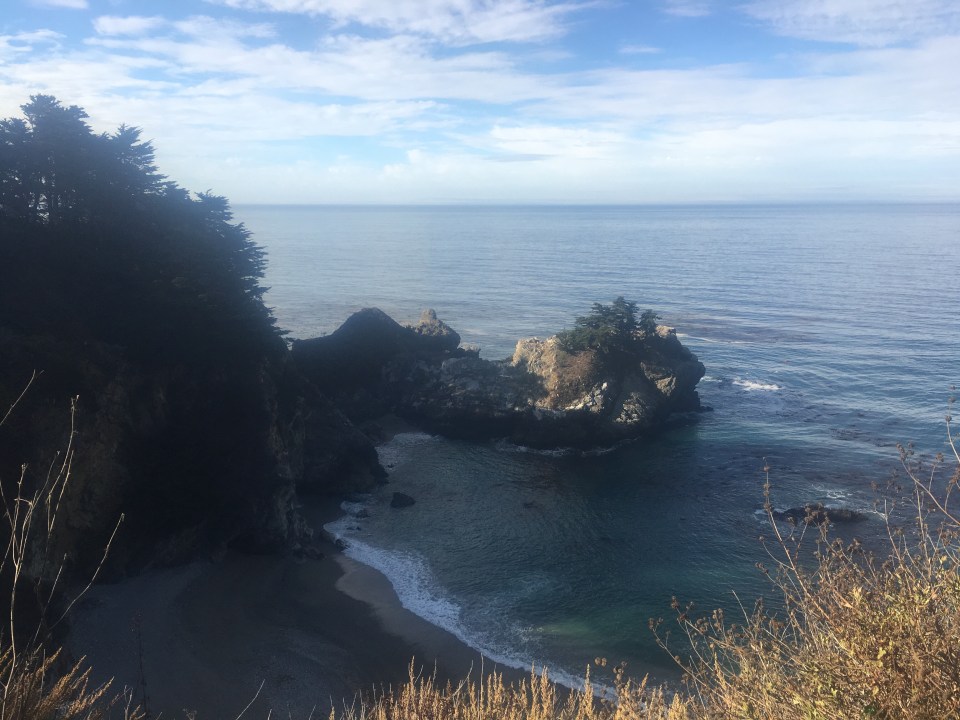
Throughout the day we made our way west towards the Pacific and reached the ocean near the town of Cambria. From there we drove north on Highway 1 into the sunset. I’m not sure exactly where Big Sur starts but I think we’re in it now and it’s a beautiful coastal drive. We’re definitely within Los Padres National Forest and we drove up this steep dirt road off Highway 1 and found a spot to park for the night overlooking the ocean. 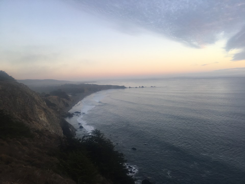
Oct 2 Bonny Doon, CA
First thing this morning, before I even woke up or actually this is what woke me up, someone in a truck drove by our free campsite from their free campsite blasting their horn. What a dick. That was around 6am and I never got back to sleep. 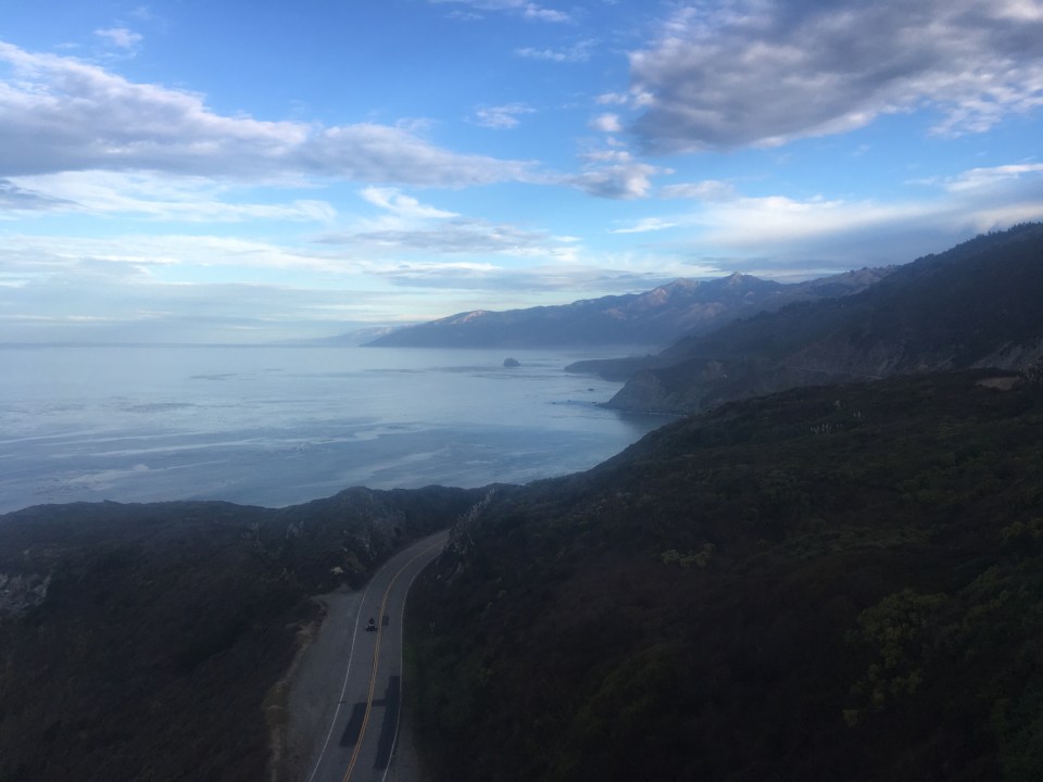
Whatever. We ate some breakfast at our little campsite pull off then started making our way north along the Big Sur Coast stopping at anything that piqued our interest. At Andrew Molera State Park we went for a run along the bluffs then down to the ocean. The trails were great for running and at the beach there were porpoises or dolphins breaching just off shore. 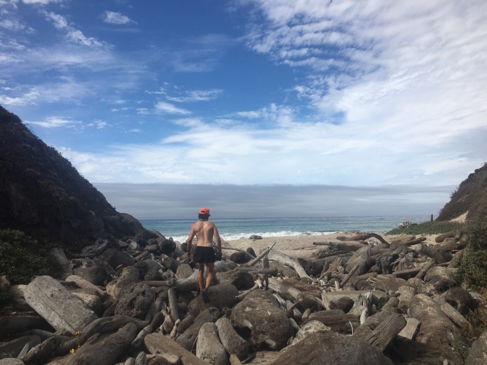

Traveling up the coast we ate lunch at Cannery Row in Monterey and oddly enough I just happened to have started listening to John Steinbeck’s Cannery Row audiobook the other day. From Monterey we drove north along the bay to Santa Cruz and explored the pier and checked out the waves at this surf town. Word is there’s been humpback whales breaching but I didn’t see any.
I got in touch with my friend Walker aka Diatom who lives with his folks up in Bonny Doon which I guess is a ‘census-designated place’ within Santa Cruz county but it’s actually more of a state of mind. Now this is a sweet piece of property. Steve(Walker’s dad)and his wife Gloria, who was out of town tonight, had the house built 20 years ago during which time the family all lived in a fifth wheel trailer and a tent on the property. Now there’s gardens, ponds, dogs, lots of trees, a sweet lawn, a John Steinbeck themed outhouse, and Walker and his and Steve run their own business out of a shop next to the house creating and selling ceramic lanterns. I’m sure you can find it online if you want to check it out: Bonny Doon Designs. It was great to catch up with my buddy Diatom who I hiked hundreds of miles with and get to know his father who’s had his share of adventures. Diatom cooked us dinner and they put us up for the night. I kinda want to move in. 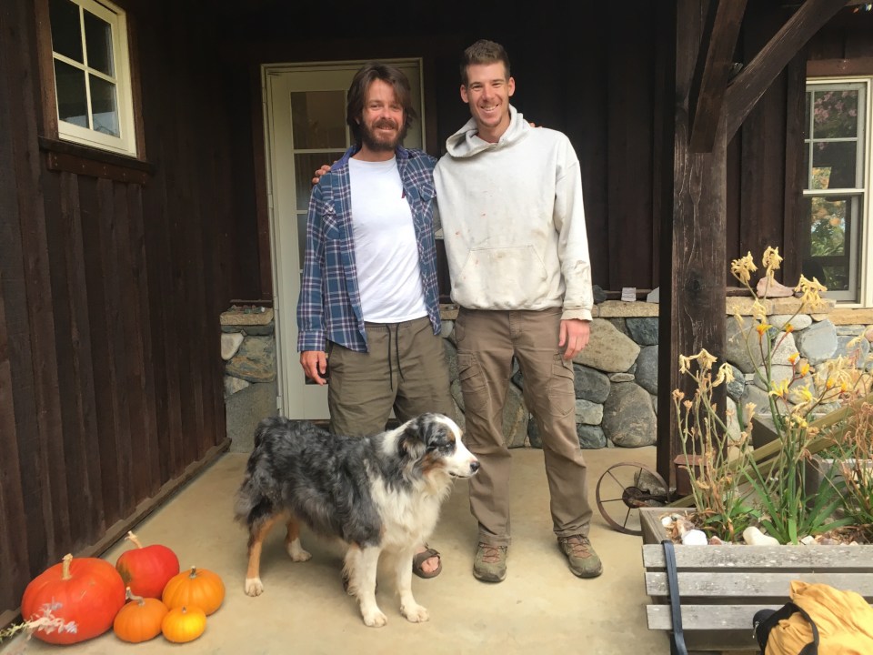
Oct 3 San Francisco, CA
This morning we drove down from Bonny Doon to the Coast. We checked the waves at Cowell’s Beach but nothing was happening so we drove south about 5 miles to Pleasure Point and rented surfboards. 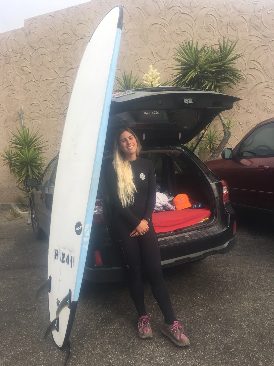
Now the last time I surfed was in Tofino and while we were up there I felt like I was getting right up on every other wave and riding them all the way in. Today I wasn’t so lucky or maybe my surf skills are just more suited for Canadian waters. I did overhear a serious surfer saying that today was a ‘tough’ day. Either way it was still fun. Sara and I were out there all morning and got up on the boards once in awhile but most of the time I was just getting tossed around by waves.
This afternoon we drove up to San Francisco and began what I think we’ll be a multiple day walking and noodle eating tour. We saw the painted ladies, went to multiple chinatowns for dumplings and found a place to park for the night near the beach along Great Highway, supposedly it’s a good quiet spot to sleep for the night. We’ll see, at least the price is right. 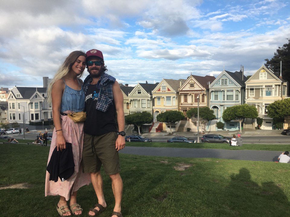
Oct 4 San Francisco, CA
What a city! And not a bad night parked on the Great Highway either, so good we’ll try it again tonight. It’s quiet, dark, and we didn’t have any disturbances last night. The Great Highway goes along the edge of the Outer Sunset District from the SF Zoo past Golden Gate Park and feels more like a city street than an actual Highway. We’re parked across the street from houses and directly next to a thin strip of grass and trees that has a walking path going through it. Parallel to us on the other side of the path is another road, also ‘the Great Highway’ and then it’s beach and then the Pacific Ocean. So essentially what we have here is ocean front property. It’s comfortable but not so comfortable that I’d get outside the car and fire up our camping stove to cook supper, just comfortable enough to sleep inside the car for a couple nights with the curtains drawn. 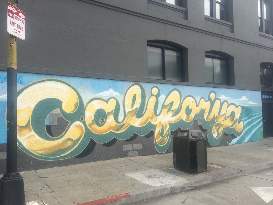
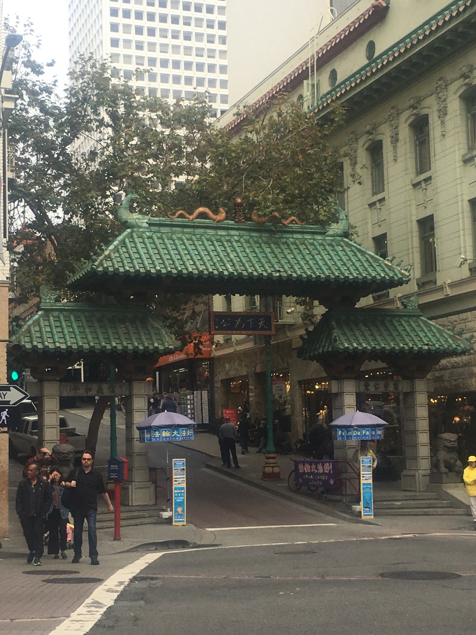
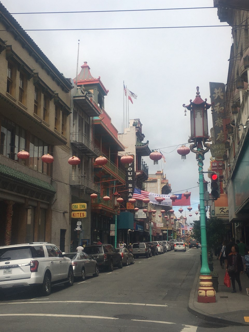
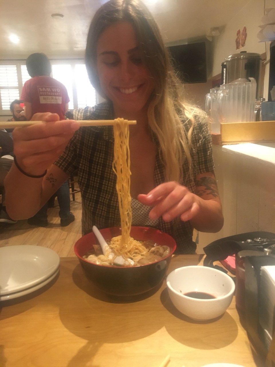
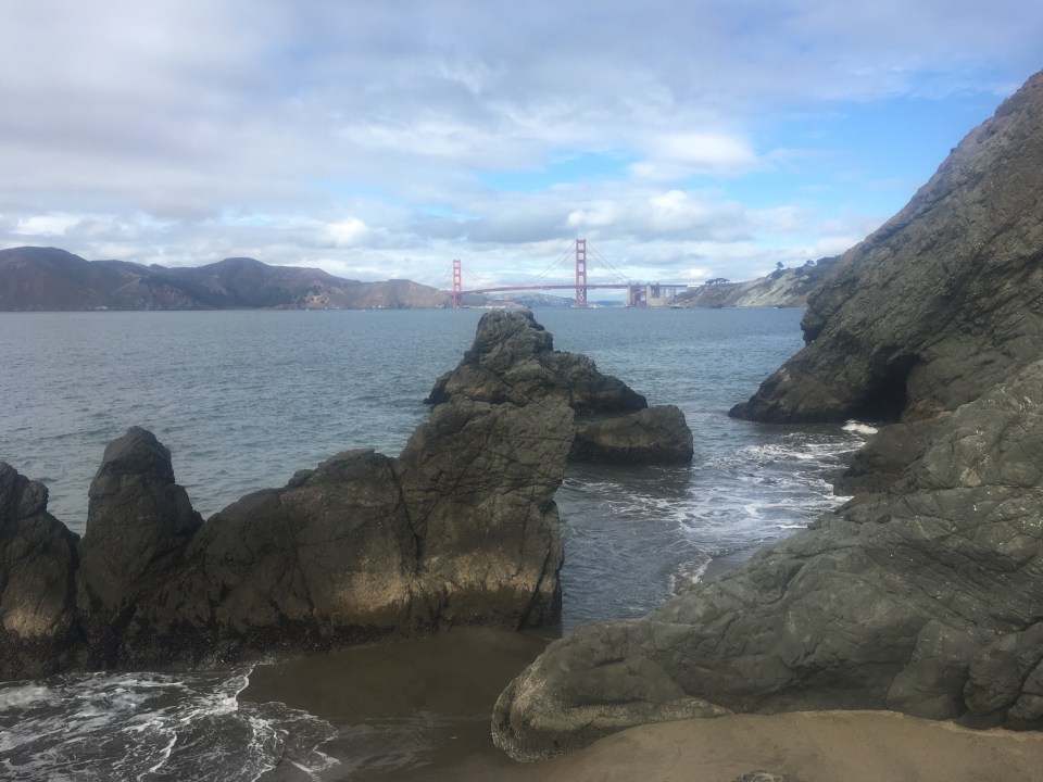
Today we walked and ate all over the city. Specifically we went to get breakfast nearby in Sunset then took a bus over to SoMa, bought some used clothes, walked from there back to Chinatown, ate lunch then found the fortune cookie factory, walked up the Fillmore steps, were dazzled by the Blue Angels Flight Squad, went up Coit Tower, took an Uber across the city to China Beach, climbed on the rocks, laid eyes on the mighty Golden Gate Bridge, walked through the Presidio, bought a used book in Inner Richmond, walked through Golden Gate Park, up and down Haight-Ashbury then took a bus back to Sunset and back to car. We ate bagels, donuts, noodles, dumplings, pizza, tacos and ice cream. Almost all of the major food groups. 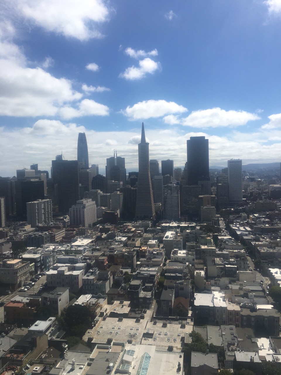

Oct 5 Lake Chabot CG, CA
Well I guess stealth camping along the Great Highway wasn’t so ‘Great’ last night. Around 1:30, while enjoying a deep REM cycle, I woke up to somebody trying to open the doors to the car. I’m assuming he or she must also drive a black Subaru Outback with Massachusetts plates and a cargo carrier on top and was just confused about where they left it. Before Sara or I could even figure out what was going on someone else drove by and the confused person must have remembered where they parked their car and took off. Confused person or burglar, we weren’t getting back to sleep in this location so we drove over the Golden Gate Bridge and parked at a rest area just to the north. We probably should have done this in the first place as it was a relatively dark and quiet place to park for the night. The lot did fill up quick with loud tourists this morning though, including ourselves. 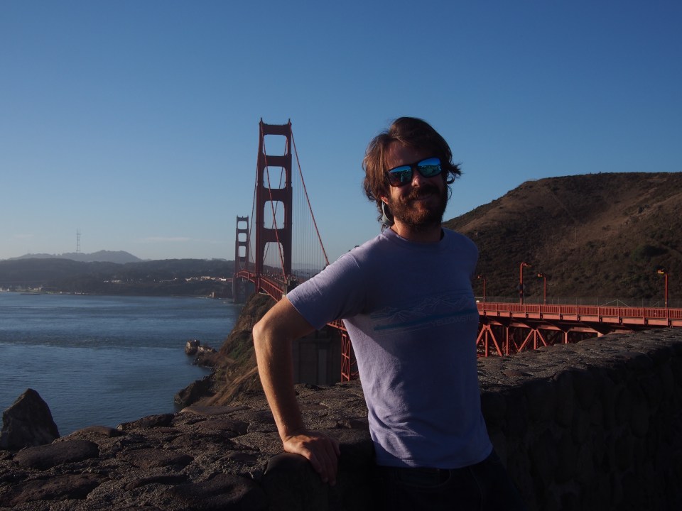
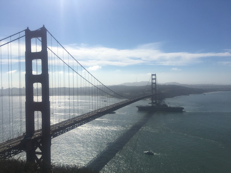
We went down to Sausalito, a town within the bay, for breakfast then drove over to the Marin Headlands for a little walking and looking around. The Point Bonita Lighthouse was closed for visitors today but we still got a good look at the bridge and saw tons of seals on the walk out towards it. Driving back along the coast we stopped and walked out a couple hundred yards for some absolutely striking views of the bridge. I guess this is fleet week and we watched as a SF Fire Boat, a Navy aircraft carrier, and a handful of other navy and coast guard ships went under the bridge. A truly impressive sight. A Coast Guard Helicopter even flew under the bridge, I’d like to think the pilot was disobeying his superior just for the sake of showing off but that probably wasn’t the case.
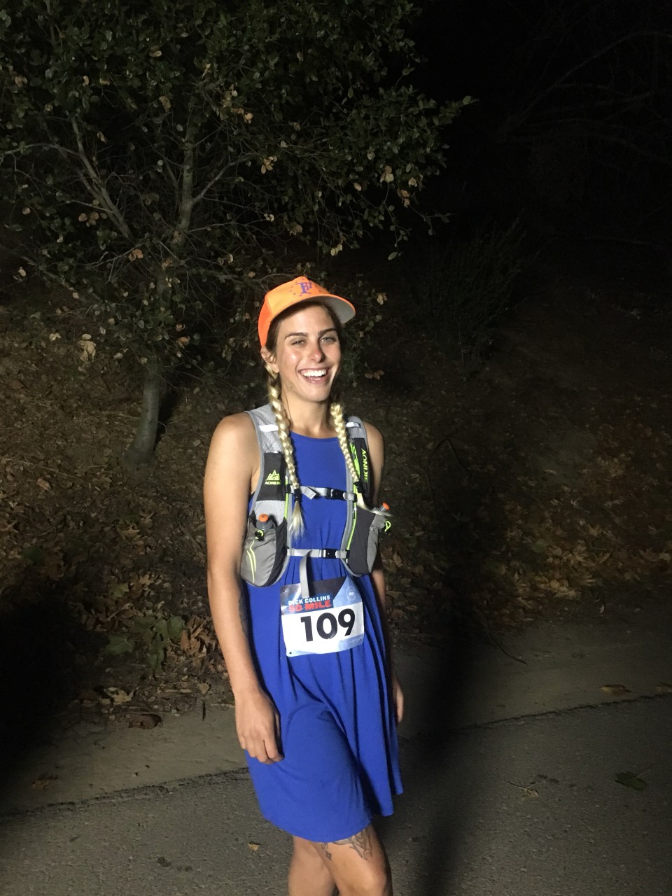
Tomorrow we’re running the Dick Collins Firetrails 50 Mile Trail Race(what a name!) in and around Lake Chabot regional park. We had to pick up our race packets today at a running store in Oakland, so we did that then walked around the Rock Ridge neighborhood for awhile. After that we drove over to Berkeley and explored for a couple hours before driving out towards Lake Chabot. We’re sleeping in an actual pay campground tonight. Not just because of the events from last night, I actually thought of this a few days ago, just wanted to give us both the best chances of a decent nights sleep before the race. I’m a bit nervous and anxious about the race, Sara on the other hand, not at all.
Oct 6
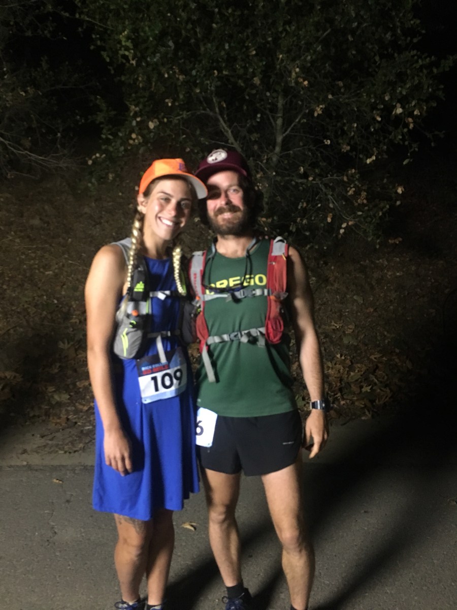
Today was the day! We ran and completed the Dick Collins Firetrails 50 Miler. 10 hours 40 something minutes. 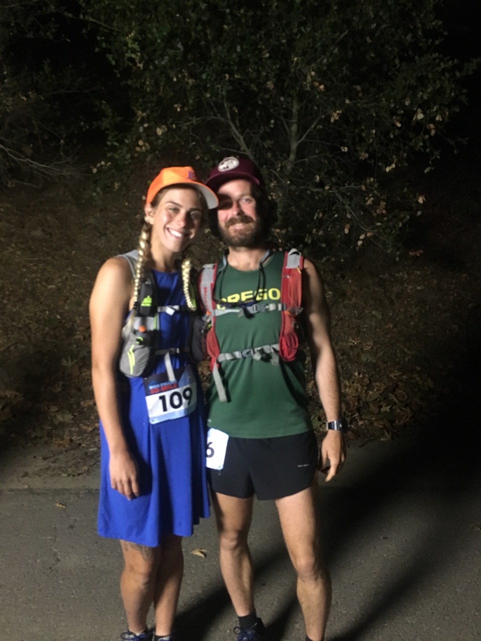
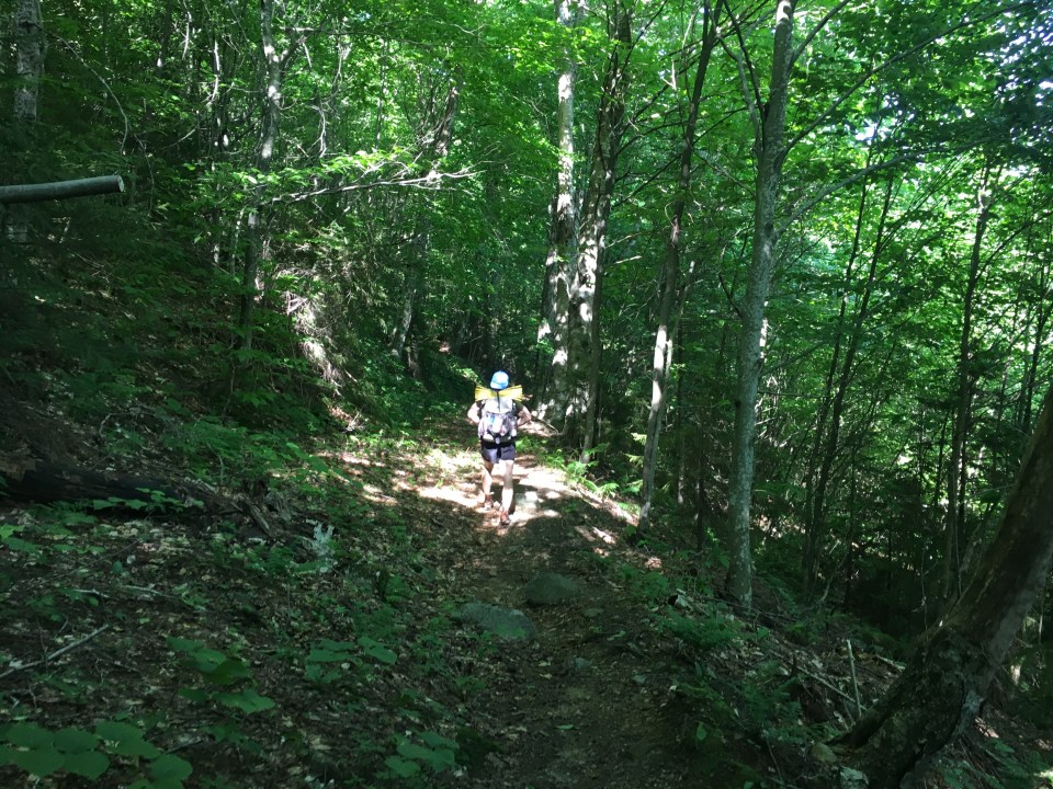
It wasn’t easy but it was fun. First of all we had to wake up at 4:45 am then drive over from the campground to be ready to start the race at 6am. Luckily Sara and I both got a decent night’s sleep. The course was dark for the first hour and for whatever reason I didn’t bring a headlamp but was able to get by because just about everybody else had one and kept the place lit up pretty well. During the first 10 miles we faced some of the most severe climbs and descents, and since it was an out and back style course we knew we had these hills to look forward to again. After the hills we reached Lake Chabot which is a major outdoor recreation area in the East Bay and draws lots of people from Oakland and the surrounding towns. Around the lake the course is paved for a handful of miles. I’m not too crazy about running on the pavement, I feel like it just beats up my knees and feet. It didn’t last forever though and after the Lake there were a couple of aid stations relatively close together so it made the miles seem to tick by quickly. We did some more climbs and drops then we got to my favorite part of the course which was a few miles through a redwood canyon(I think it was actually called ‘Redwood Canyon’). It was deep and dark and the footing was soft and pleasant. Because of the style of the course we started seeing the leaders through this section. We had one long steep hill until the turnaround then repeated the whole thing. 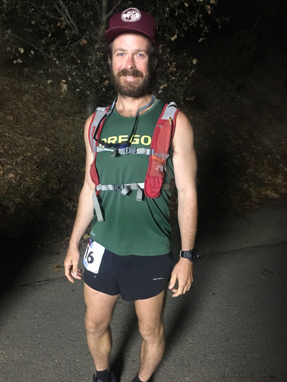
Around mile 20 a woman at an aid station told Sara she was the 5th place female. The rest of the day we tried and were successful in at least retaining that position. Not that we were being competitive and racing but it did give us something to shoot for. We actually didn’t lose any ground at all for the rest of the race. After the first hour when everybody was bunched up, the crowd got pretty thin. We leap frogged with 2 different runners for really long stretches of the course with one of them finishing in front and the other behind us. In the section just after the turnaround we got passed by 2 guys but we were able to catch them and another runner 20 miles later going up one of the massive hills near the end. I felt like I was suited quite well for these hills. They were hot and exposed and so steep that they were unrunnable and although these were our slowest miles of the day I was able to climb them pretty quickly. Finishing the race was a great feeling and I’m sure my body will pay the price for a few days. Sara ended up winning her age group and 5th place female. Not bad for her first race, not just first ultra, this was her first organized race outside of a couple Wednesday night runs in Lynn Woods last summer. I finished just after the 5th place female and we came in 21st and 22nd overall. There was a great spread at the finish line so we hung out for a couple hours eating food, talking to runners, and watching people finish. A very fun and successful day! For tonight instead of sleeping in the car I sprung for a hotel room in nearby Hayward, CA. I’ve run these long runs before and I know it’s important to be near a toilet. An actual bed helps too.  feel free to follow this blog or find me on insta @endlesspsummer and Sara @sarahikes
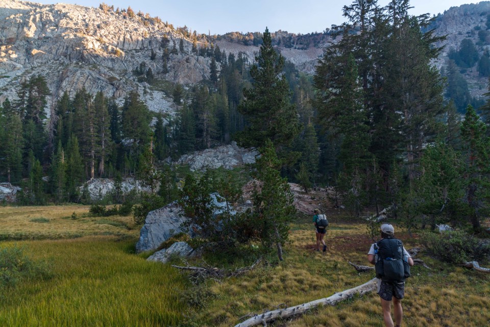
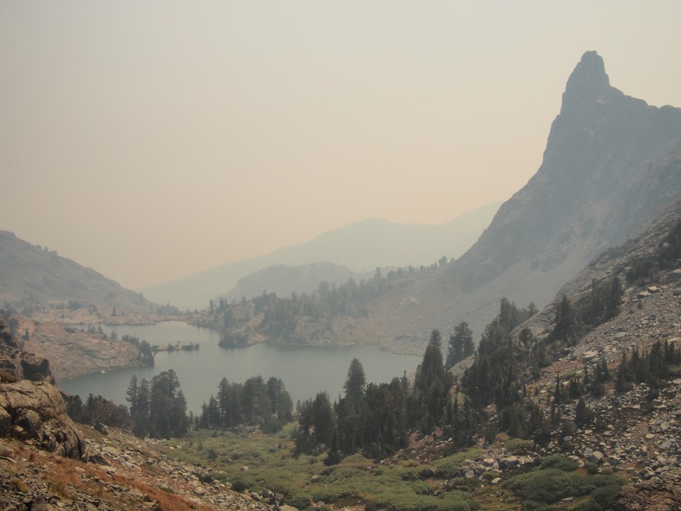
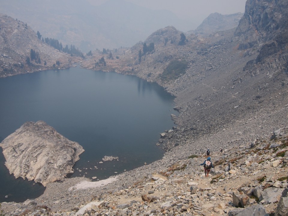
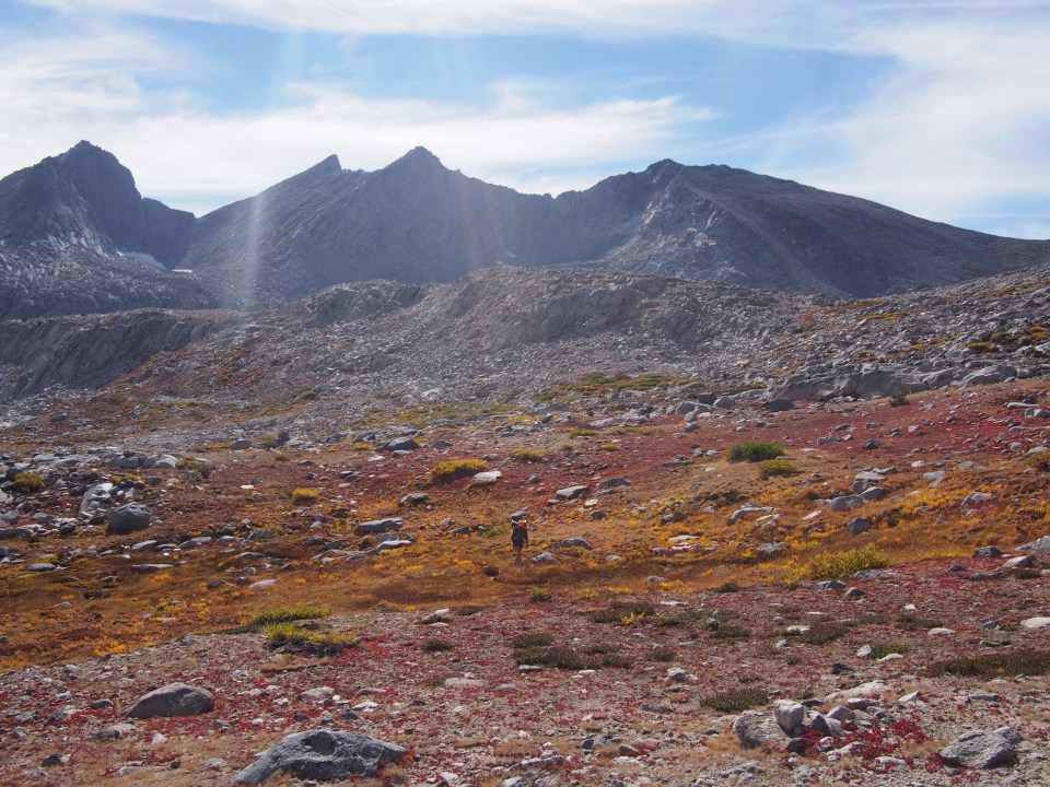
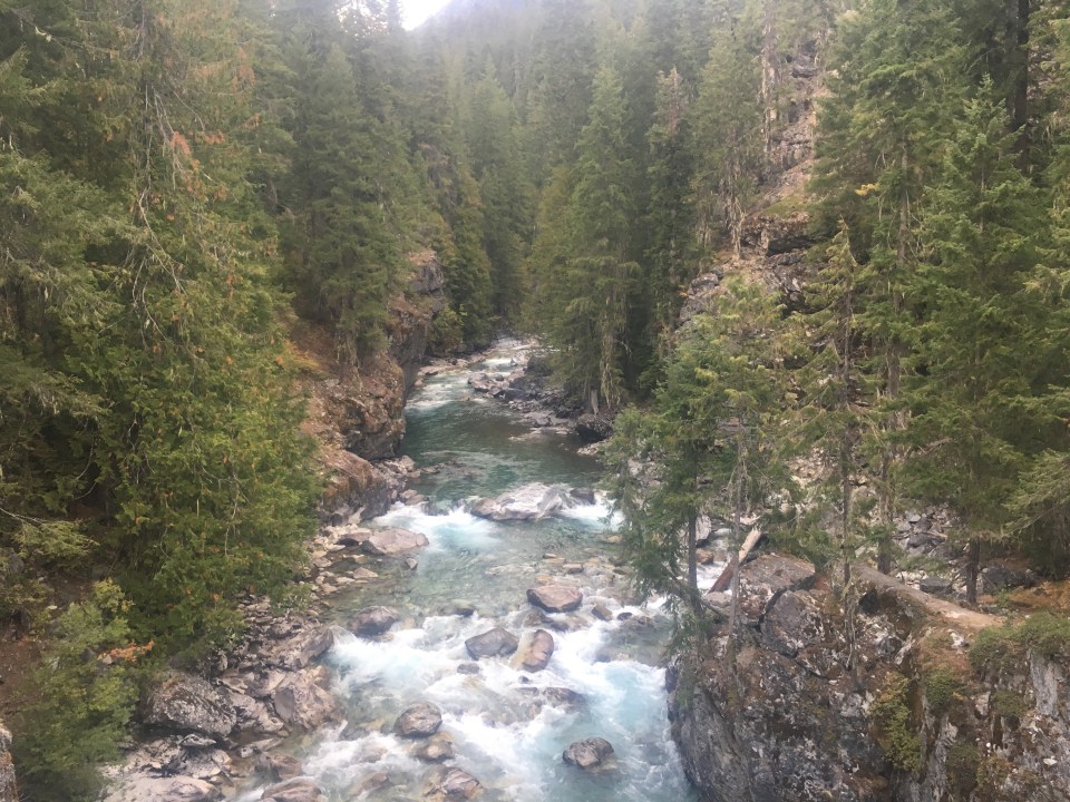
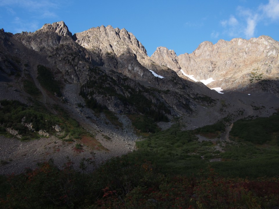
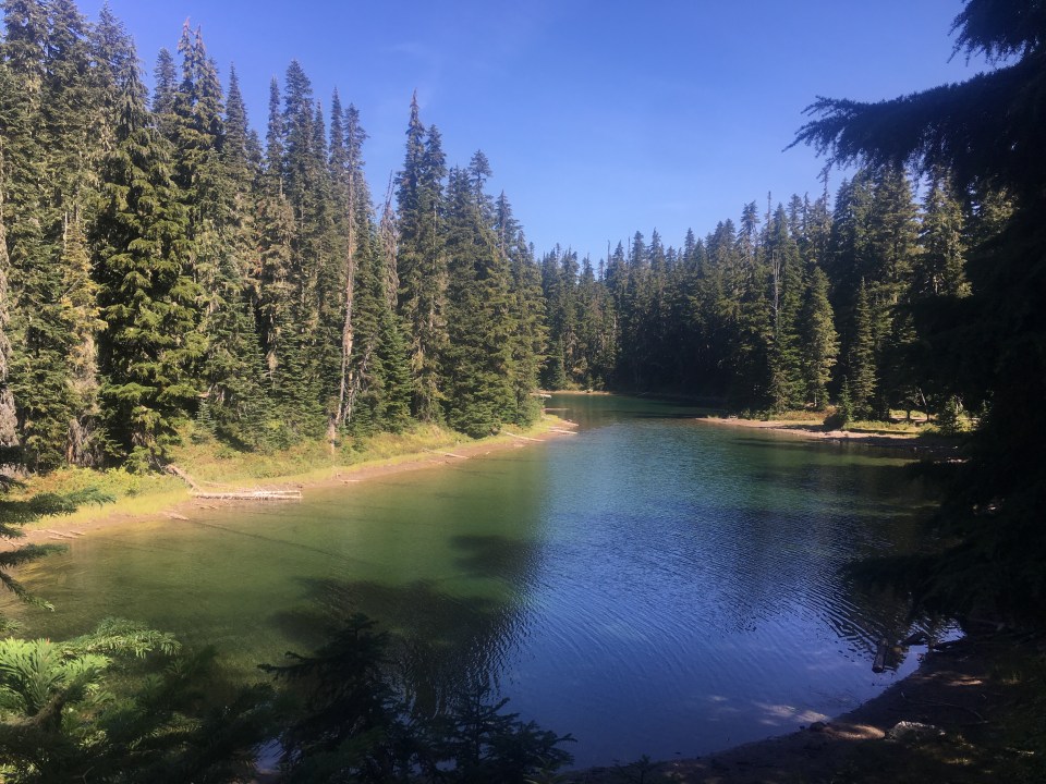
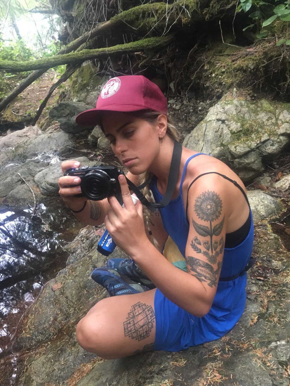
 We think we figured it out and climbed a steep but manageable slope up to a pass that gave us incredible views of the Minarets to the north. Dropping down Nancy Pass, or perhaps not Nancy Pass, was a bit trickier. There was a good amount of steep loose scree and talus that we followed left and eventually made it up to a trail that led to Minaret Lake. This is a beautiful lake in the shadows of the dauntingly jagged Minaret peaks looming overhead and we all couldn’t resist going for a nice swim. I just regret leaving my goggles in the car because there was some big time fish in here.
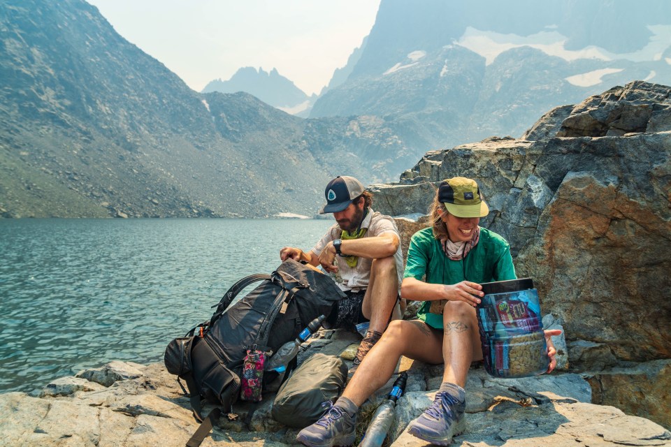

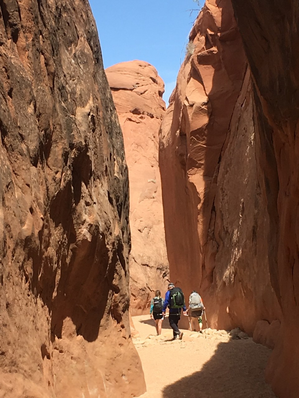
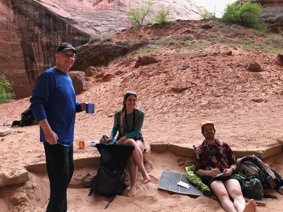
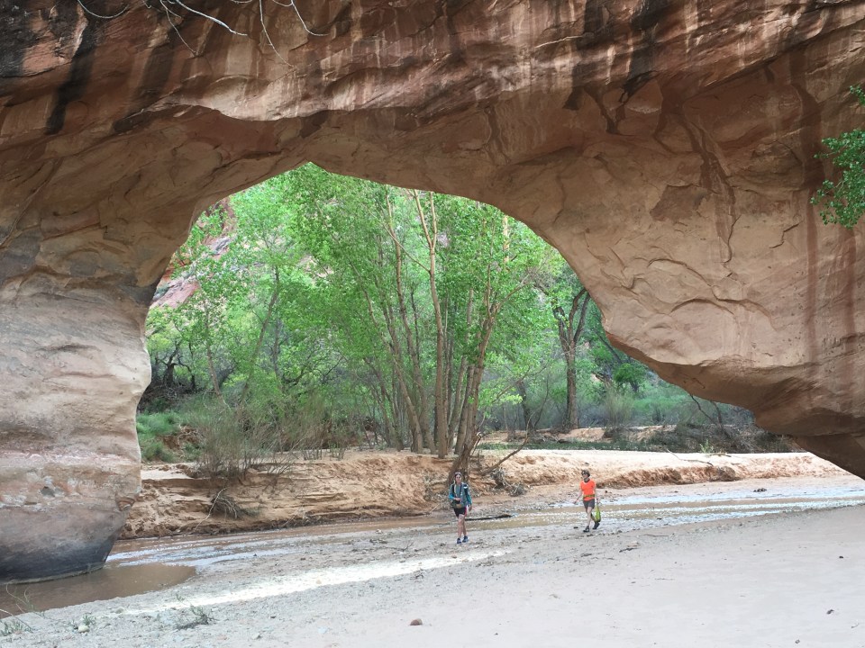
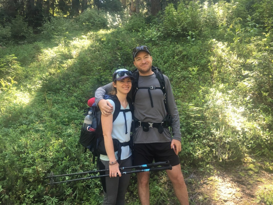
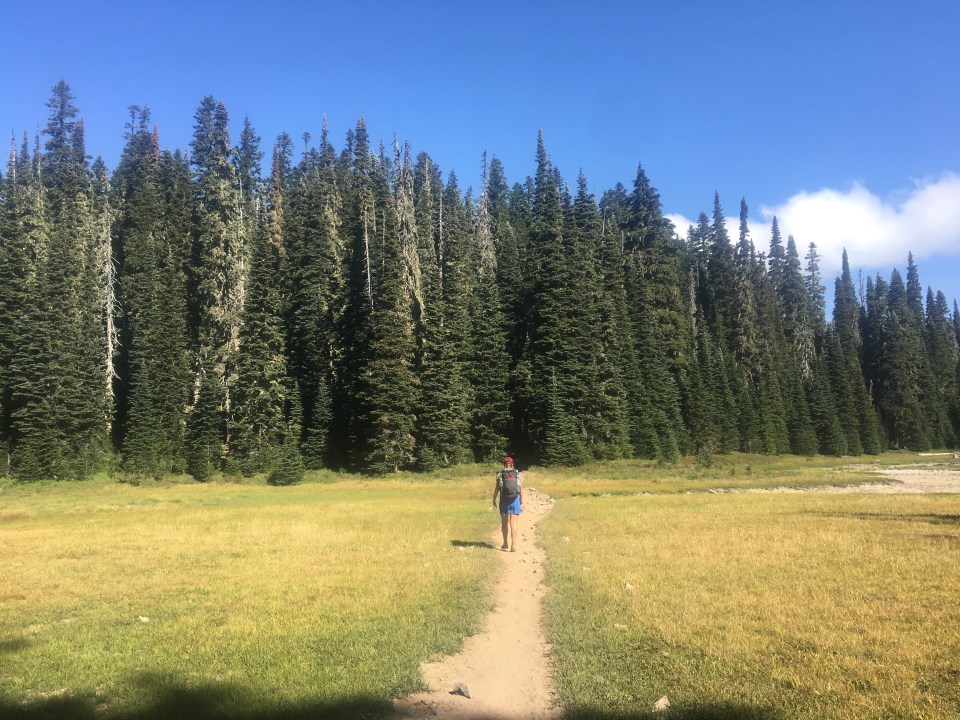
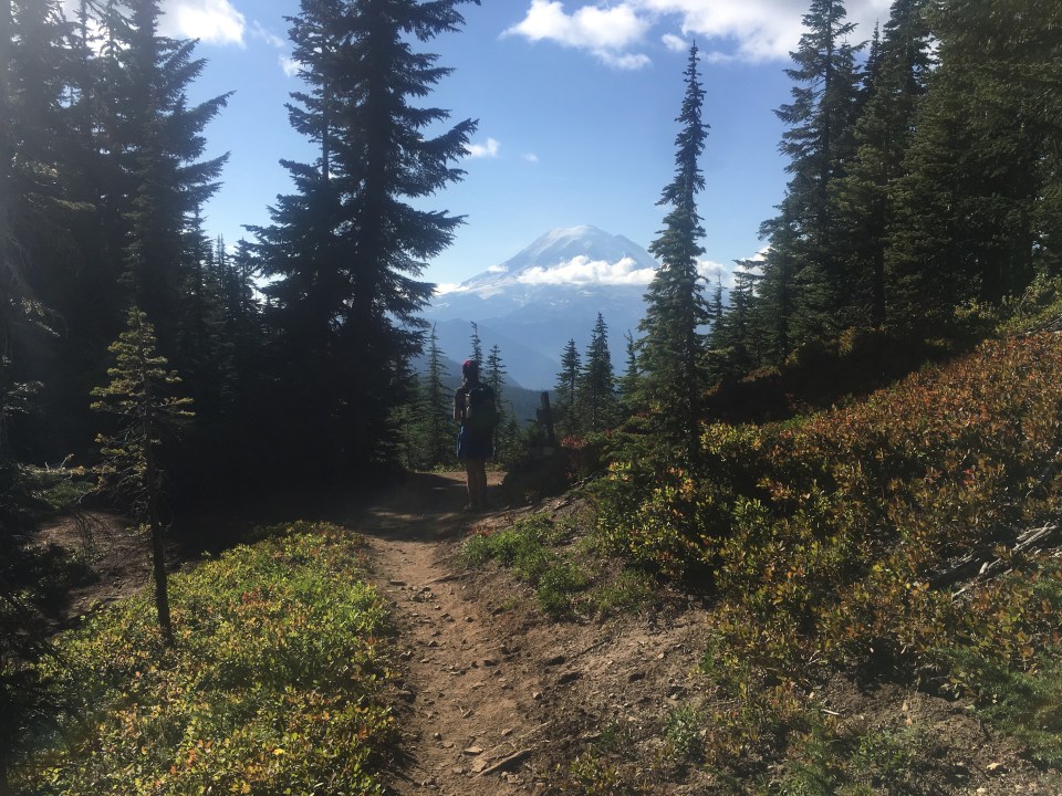
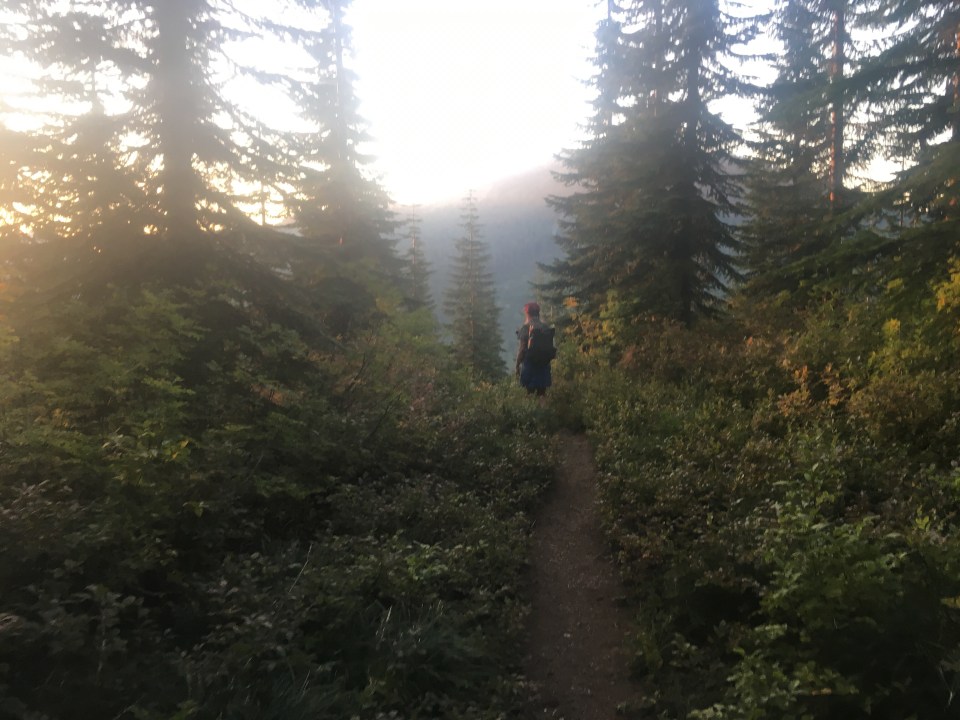
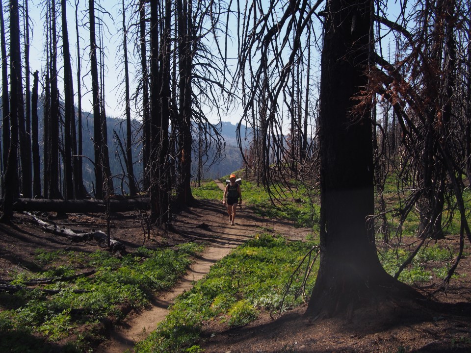
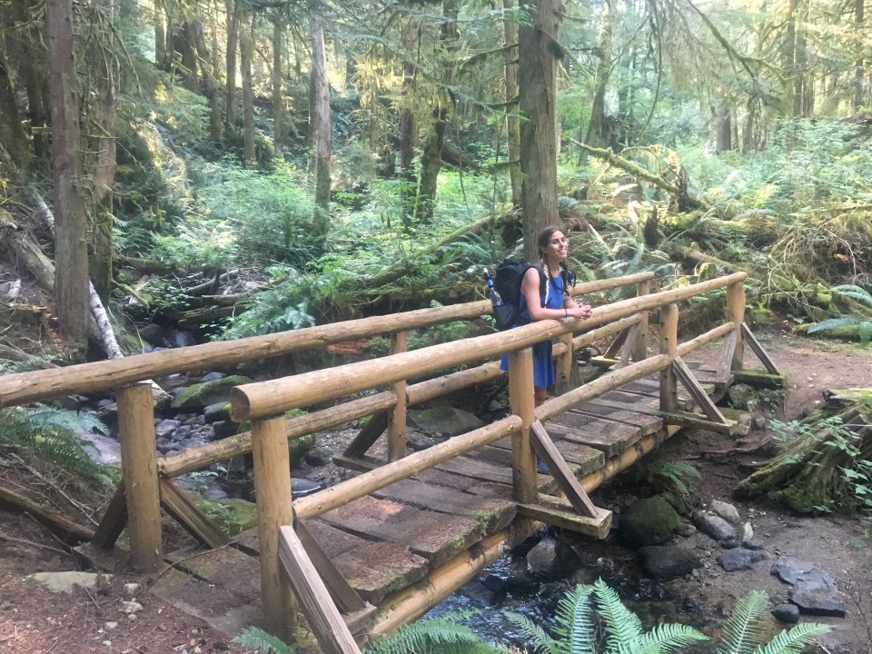
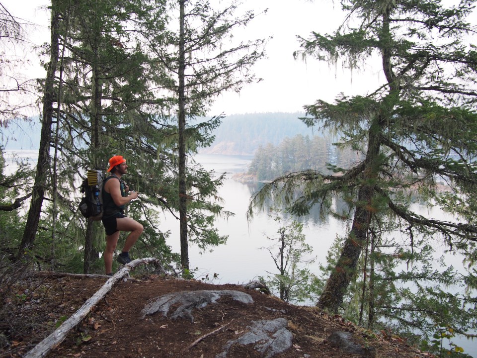
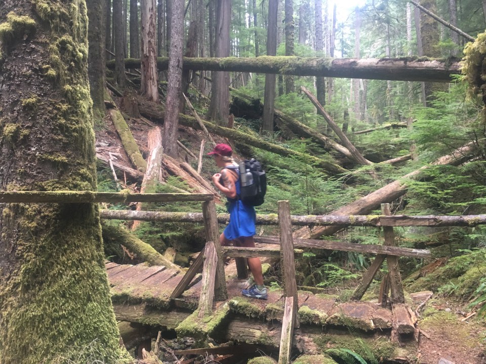
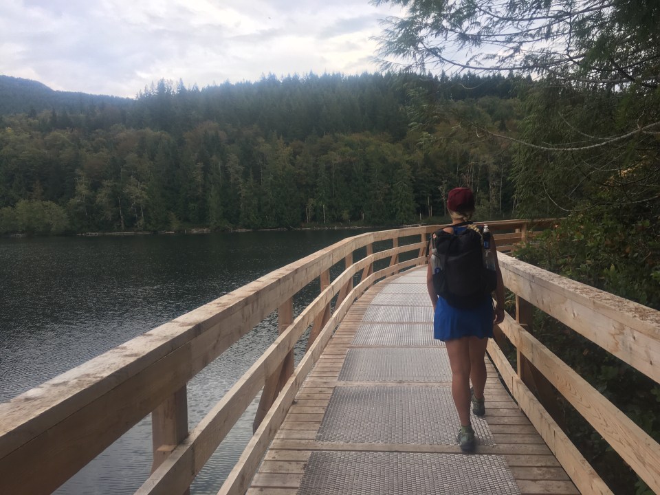
 These pictures are all the work of either Sara, Mac, or Paulina. To see more of their stuff follow their insta’s @halfwayanyhere or @paulinadao. Mac keeps a real blog also, find it here: halfwayanywhere.com. These two have incredible adventures and are excellent sources for backcountry information.


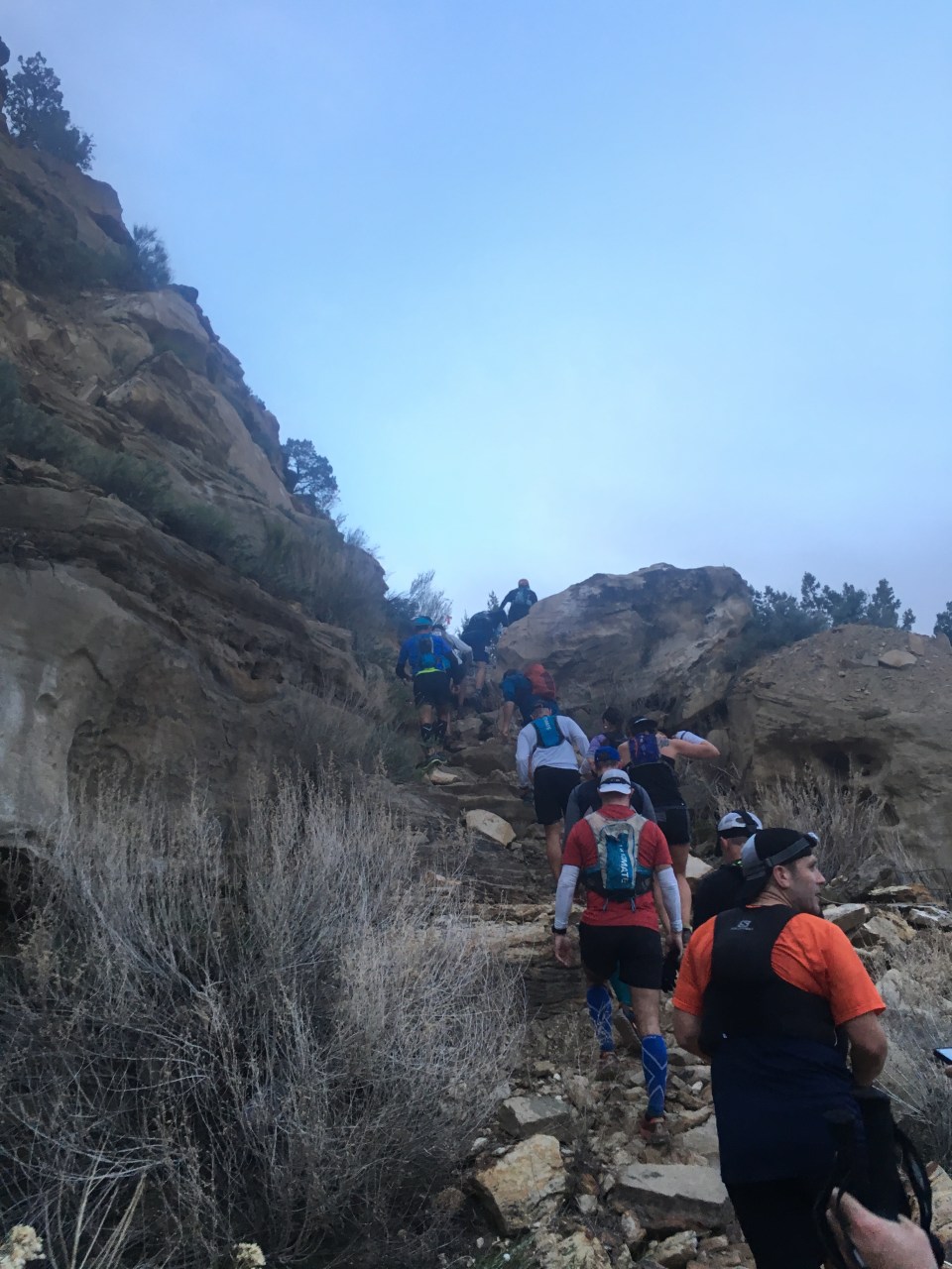
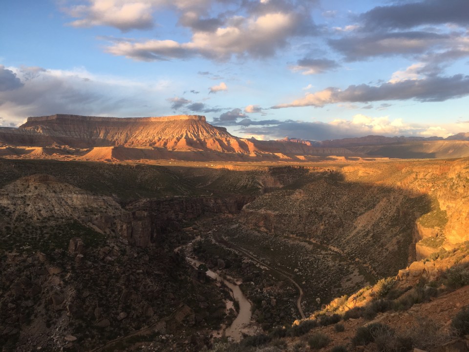
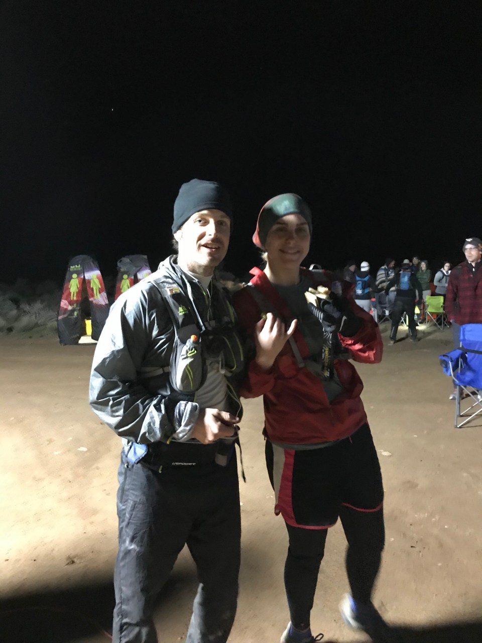
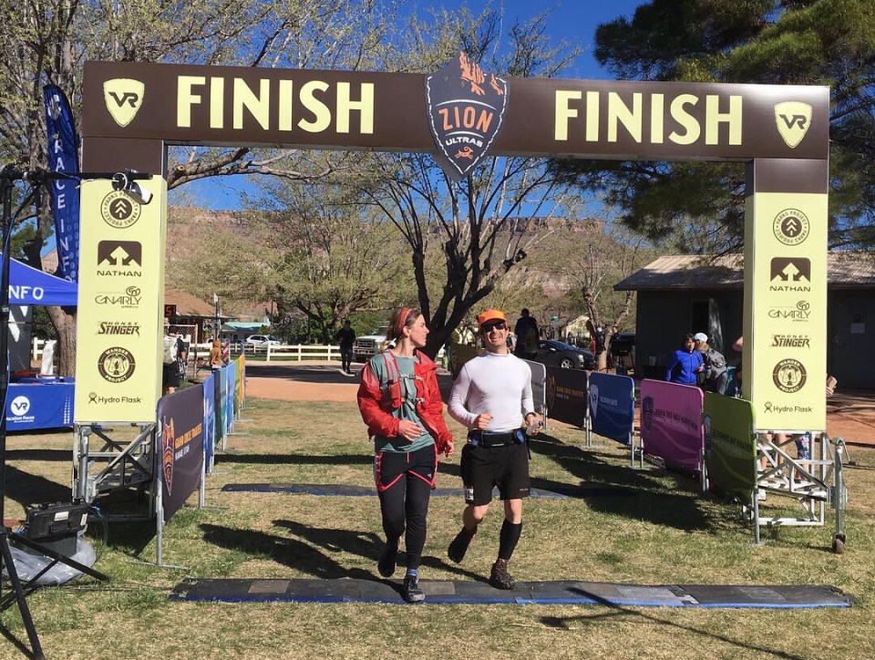
 We spent the night before the race camping at Zion River Resort(campground) a mile from the start so at 5:30 am it was a short drive for them to drop me off.
 Let’s Party!
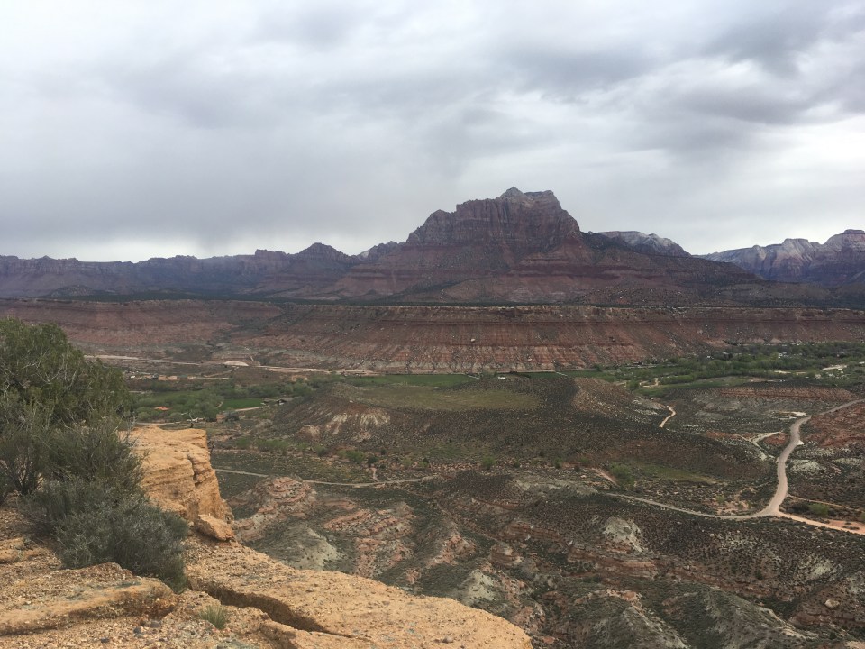
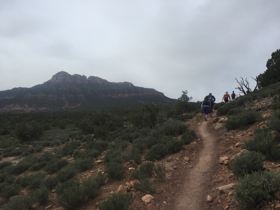
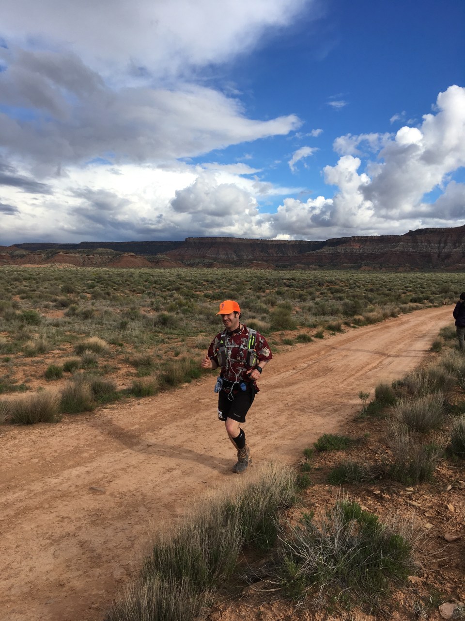
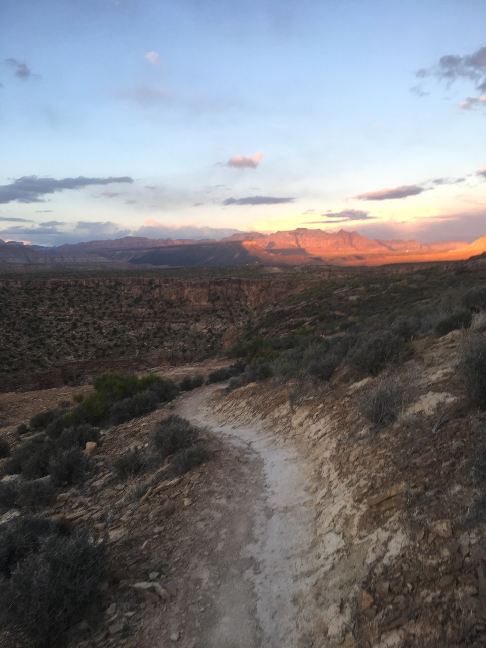
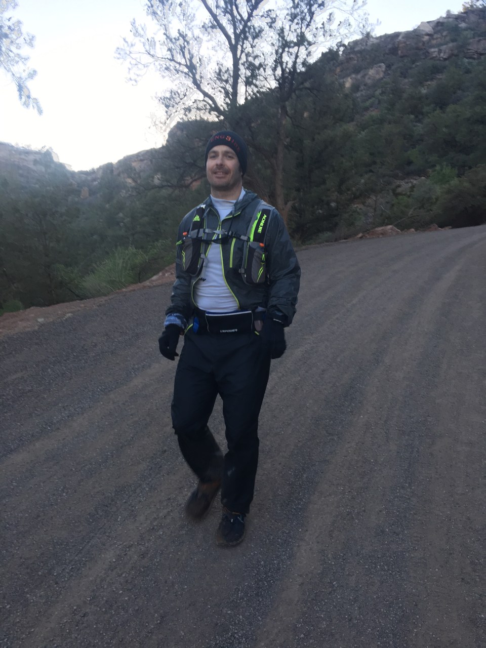
 From Goosebump it was about 6 miles of dirt roads to Grafton Mesa Aid(11.4). This was the first crew access aid station and it was jam packed with spectators and fans and stuff, including my own which was nice. I ate good here, reloaded my fluids then carried on a couple miles downhill on dirt roads to Wire Mesa(13.3). There was an aid station here that we would hit twice so even though it came up quick I did my best to eat something and also pack my pockets with snacks. My plan was to eat as much as I could throughout the race(that’s actually my plan for regular life too) and so far I was executing. From our first stop at Wire Mesa Aid, the course went out on a really nice 7+ mile single track loop along the edge of Wire Mesa. It was very runnable and there were some spectacular views of Zion along this section.
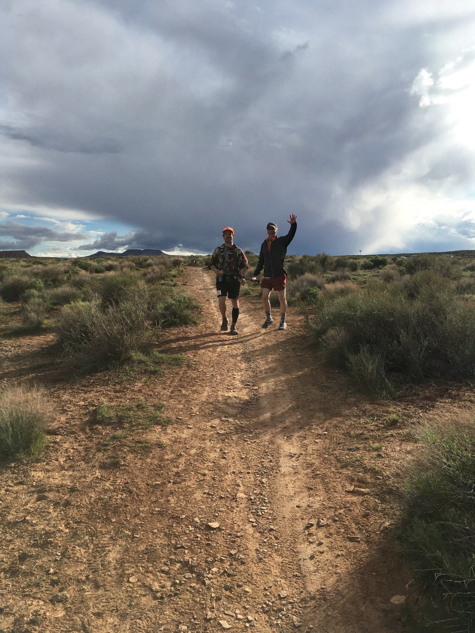
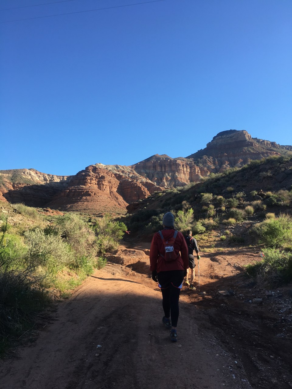
 For the beginning of this race I kept myself entertained talking with and meeting people from all over the place. It was fun seeing runners I met throughout the day and into the night at different points of the race. At Grafton Aid my crew was waiting for me and this was the first point that pacers were allowed out on the course. My mom, even though she thought she retired from running 5 years ago, joined me for a 6 mile loop out and around Grafton Mesa. This loop was a nice combination of slick rock and single track, it had some killer views, was very runnable, and having my mom with me was a pleasant distraction to the accumulating miles.
 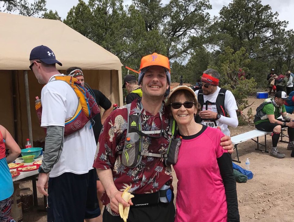 When we got back to Grafton Aid(28.2) I ate a bunch of food and said goodbye to my crew as it was the last time I’d see my them for about 25 miles/6 hours. The next section was fairly boring. It was on dirt roads with what seemed like a lot of uphill(which I was mostly walking) and the field of runners had really thinned out.
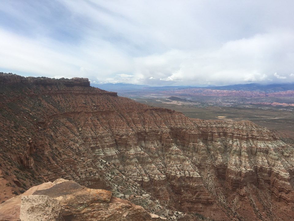

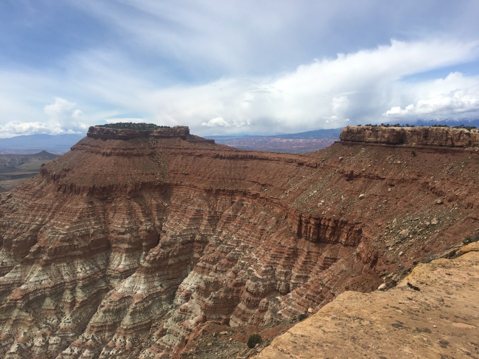

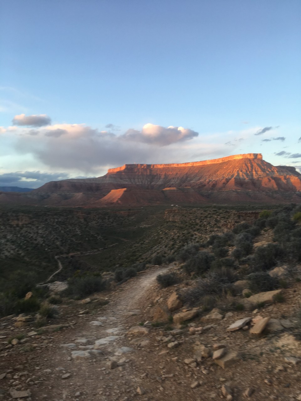 Sara and my mom met up with us at a prearranged meeting spot around mile 66.3. My dad was relieved of his pacing duties and Sara would be joining me the rest of the way. We crossed Rt 9 and started a long slog uphill for about 4 miles on dirt road to the top of Smith Mesa(70.7). I liked the climb, as I like climbing, and it gave me good reason not to run, but I was definitely starting to feel more nauseous. At the aid station it seemed a little barren, a runner there was really cold and as they were looking around for an emergency blanket for him it reminded me I should probably add a layer. I drank some broth and some ginger ale, was able to stomach a gel and got moving. There were fire pits and chairs at all the aid stations from here on out but as inviting as they looked Sara had a pretty firm rule about staying away from them. Good move, they sure looked tough to walk away from.
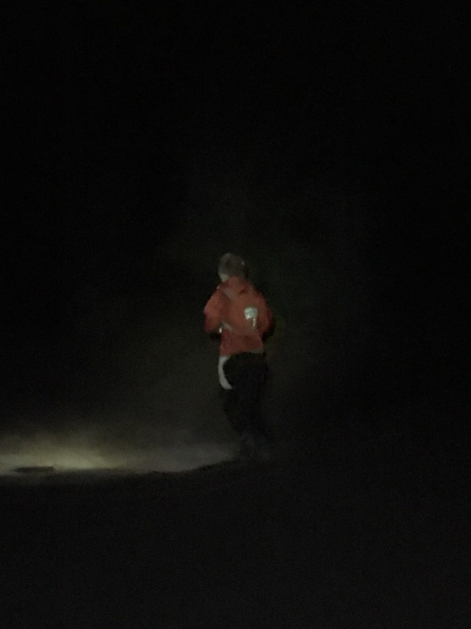
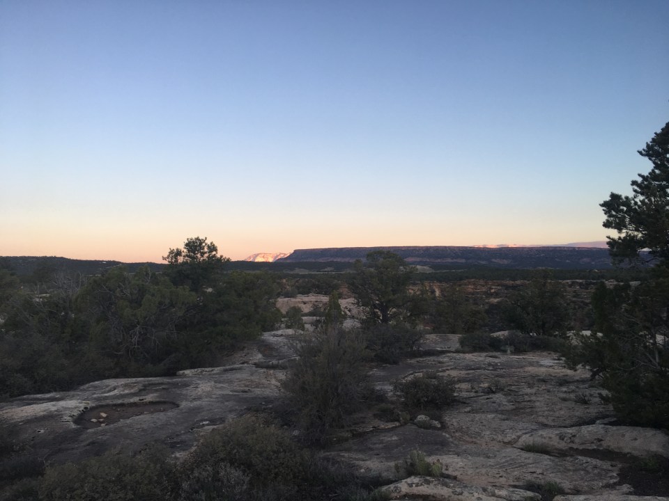


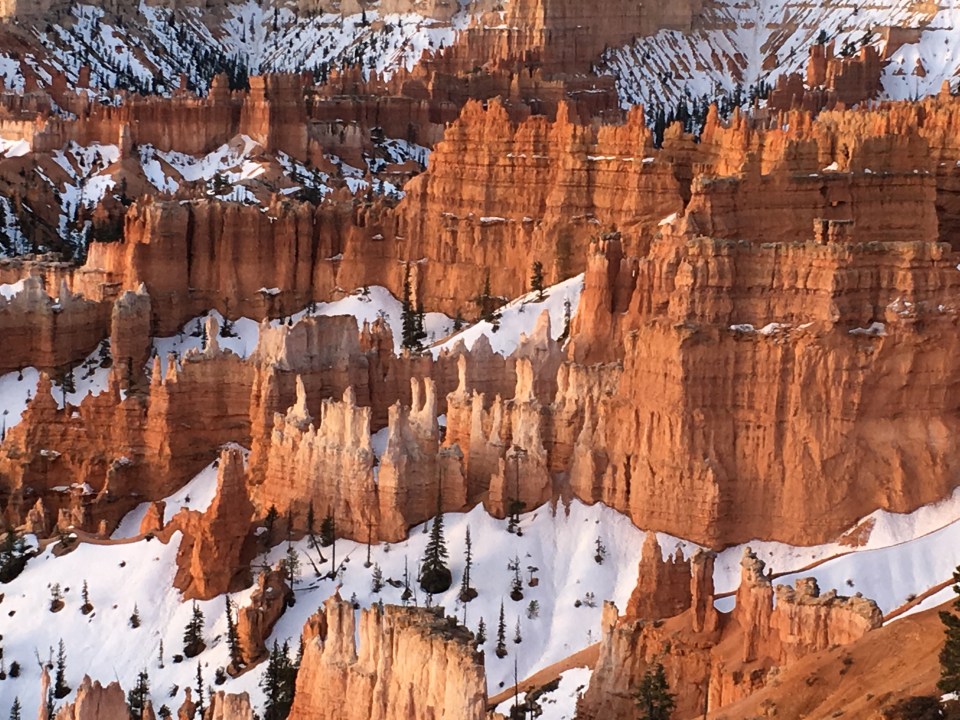
 I took a nap that afternoon and an ice bath that worked wonders. The next morning I was up walking around and checking out the sunrise at Bryce Canyon NP. We spent the day exploring at Bryce and walking around the best I could.


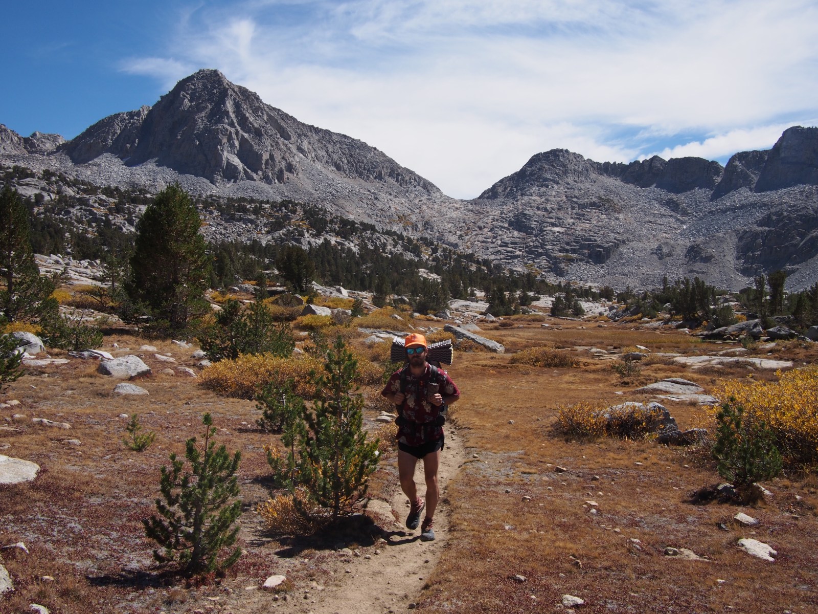
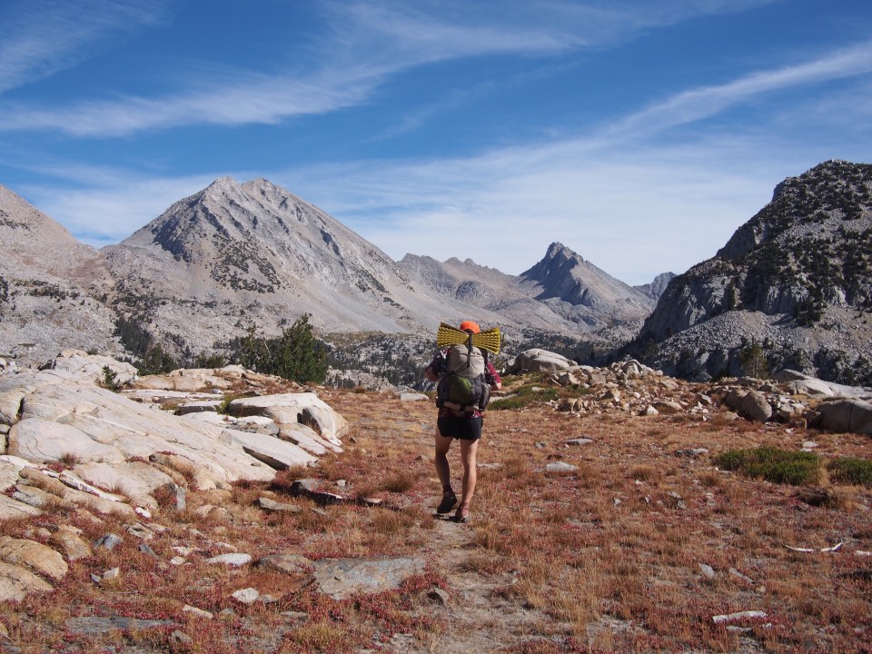
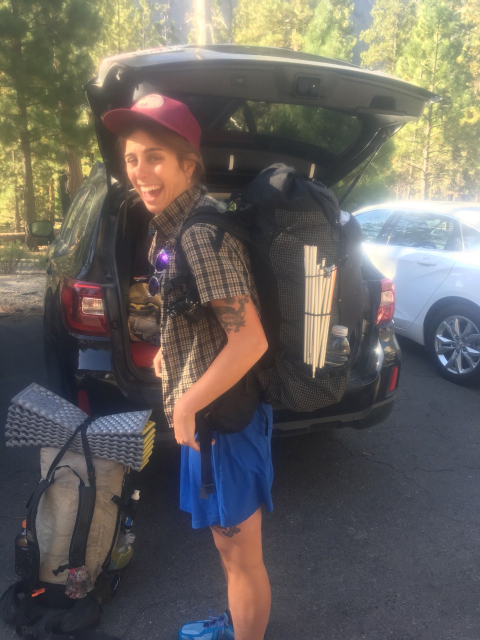
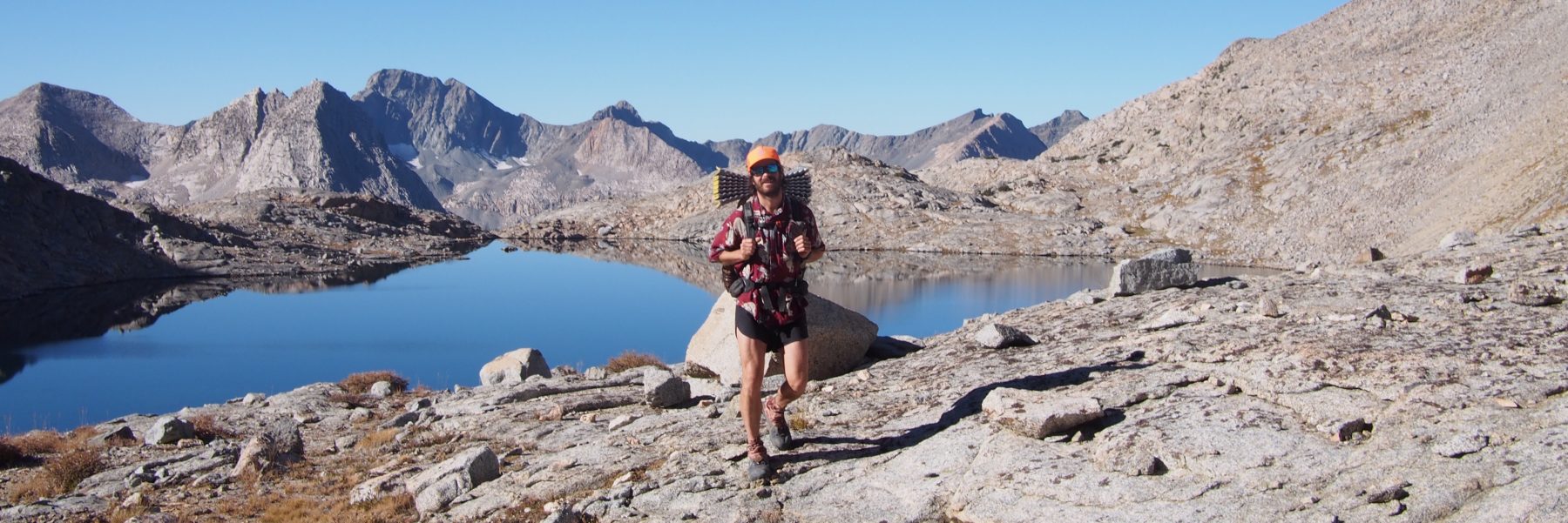
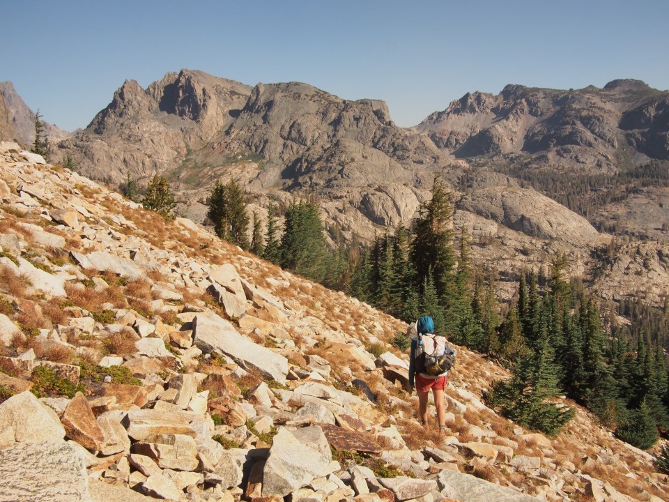
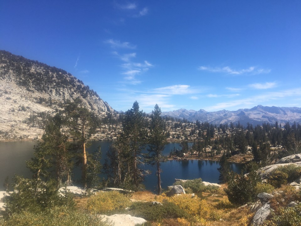
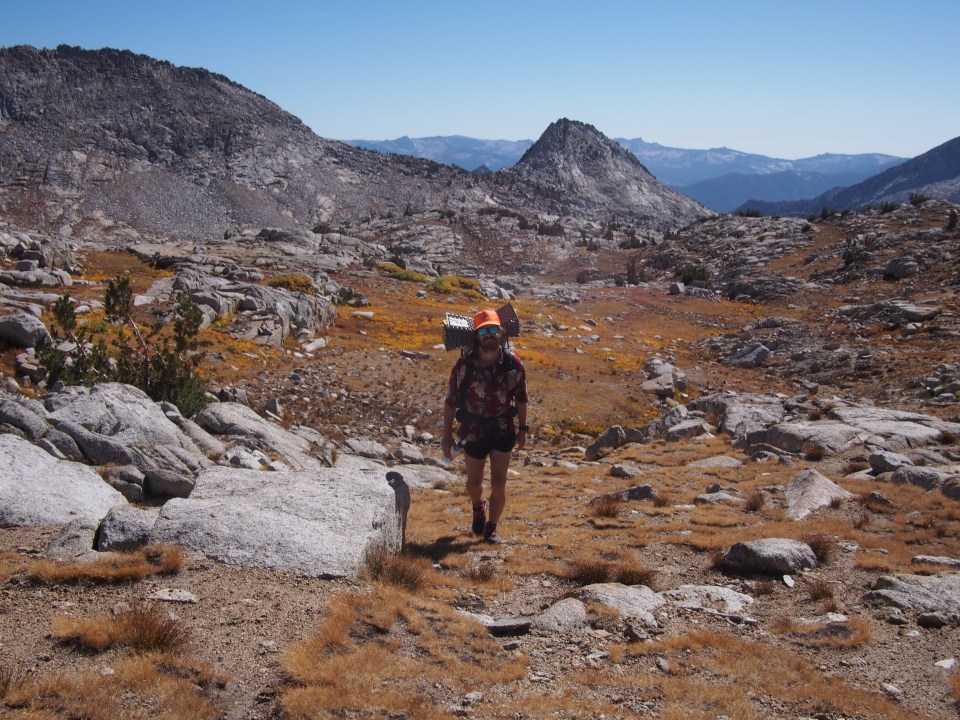
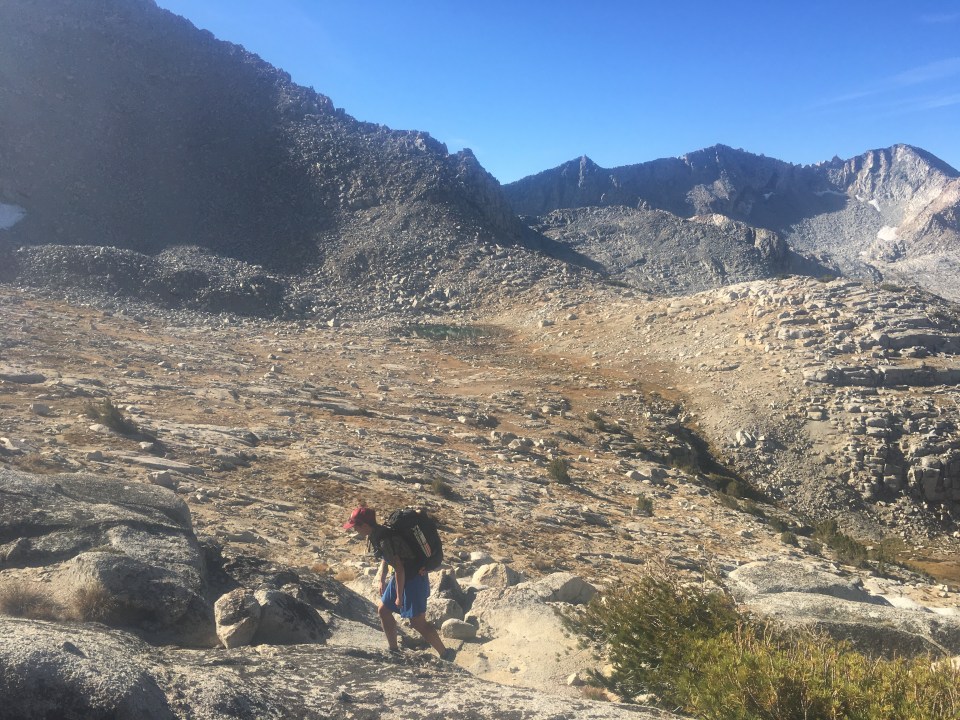
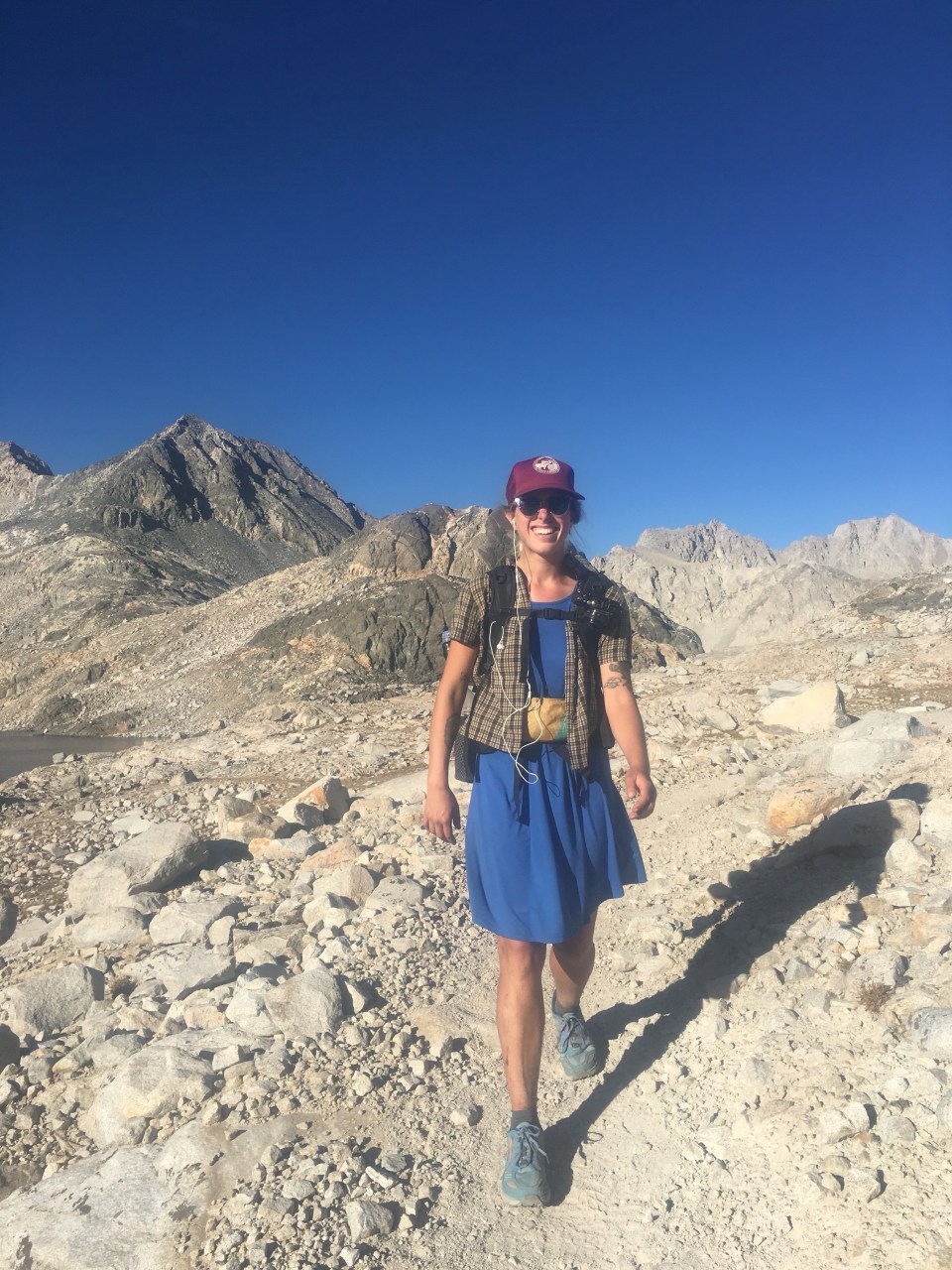
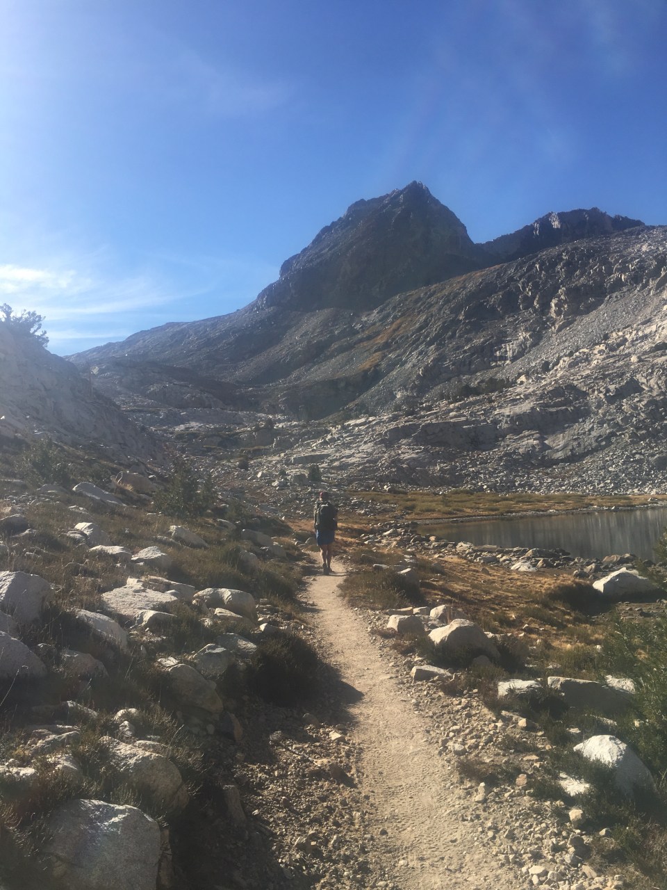
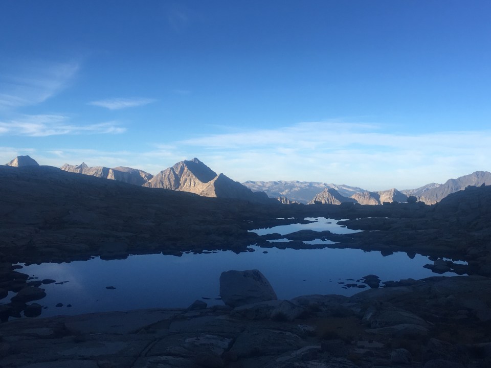
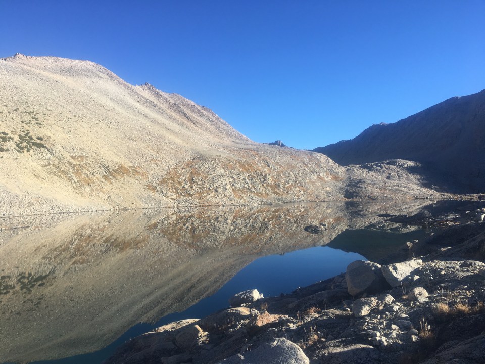
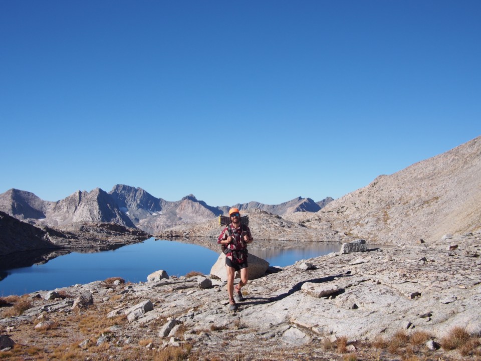
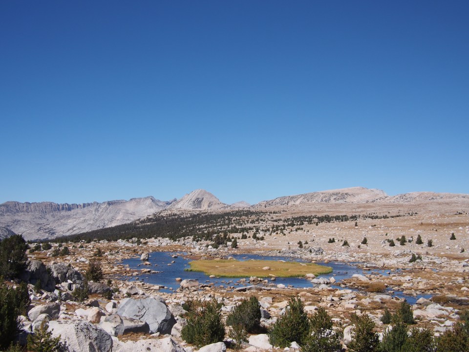
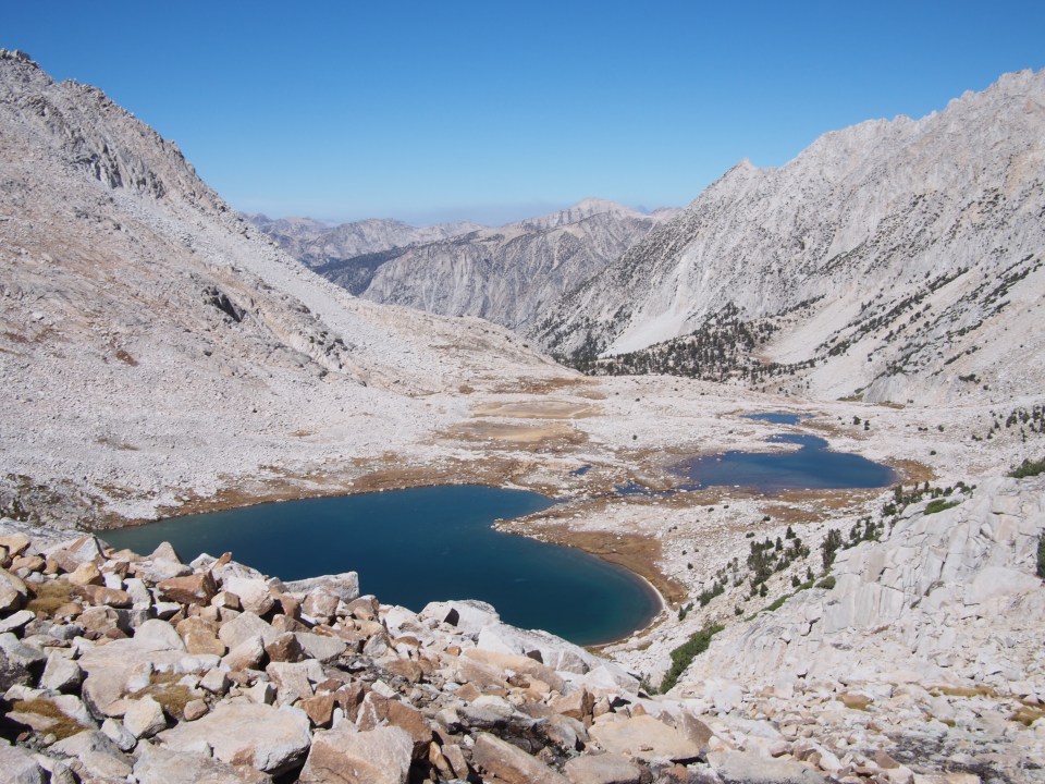
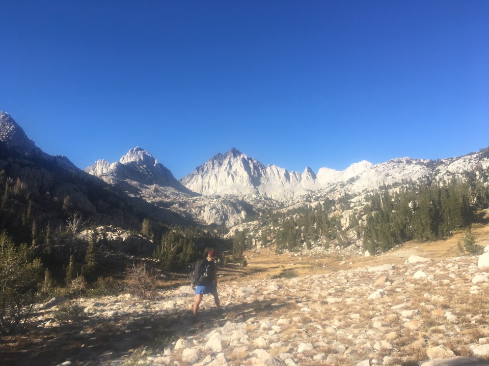
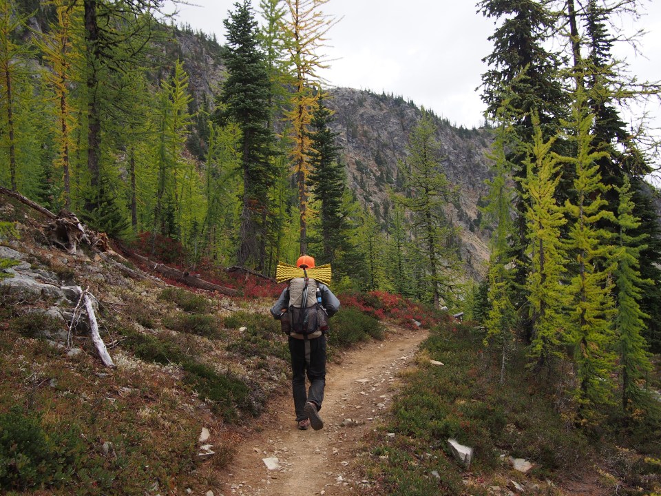
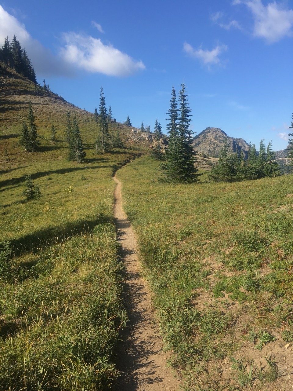
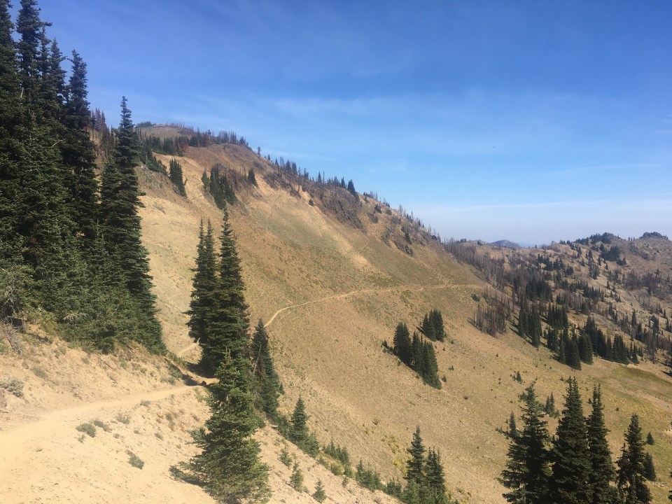
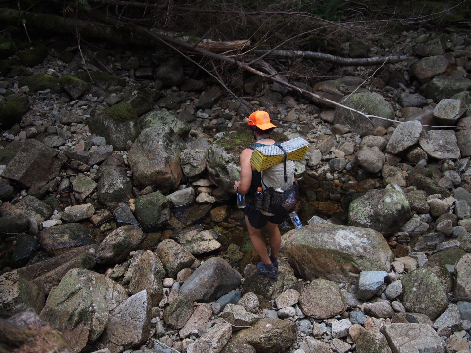
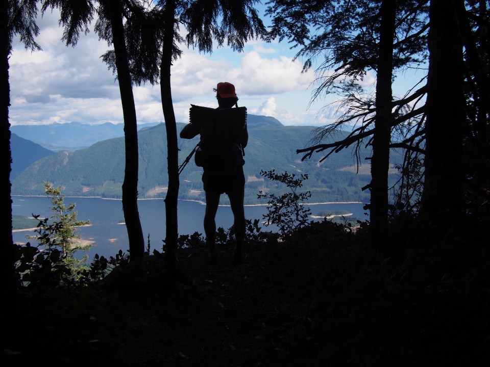
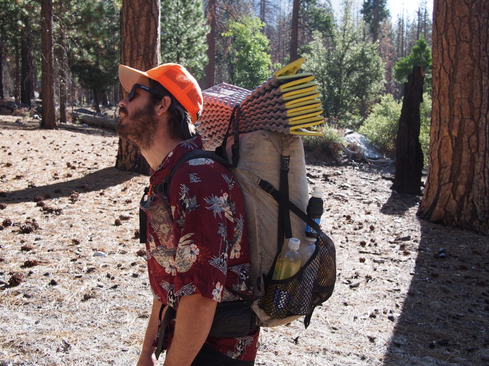 It will be slow going so we figured 6+ days of food for a 118 mile section from here to Red’s Meadow where we’ll get into Mammoth to resupply. We also are required to carry bear canisters through these parks which add about 2-3 lbs. I’m using the same pack I’ve had for awhile a Hyperlite 2400 and it was maxed out. Sara opted for her bigger ULA Om instead of her tiny Pa’lante pack she used on the PCT and the Om was at full capacity. My only gear switch was a Hawaiian shirt instead of a tank top for better sun protection. We’re carrying heavy and climbing high but we’re in the Sierras and the weather is beautiful so it’s all good. From the top of the Copper Creek Trail we did some cross country walking towards Grouse Lake where I just had to go for a quick swim then climbed up Grouse Lake Pass at over 11,000 feet. Suddenly I felt like we were plopped right down in the middle of the Sierras, which we are. There were beautiful turquoise alpine lakes and granite mountains in every direction, with more craggy peaks in the distance and all different kinds of pine trees everywhere. It was awesome. Quite different from the 95 degree Walmart parking lot in Fresno yesterday.
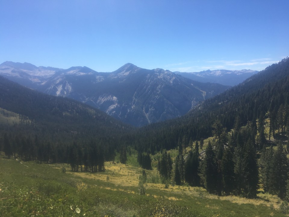


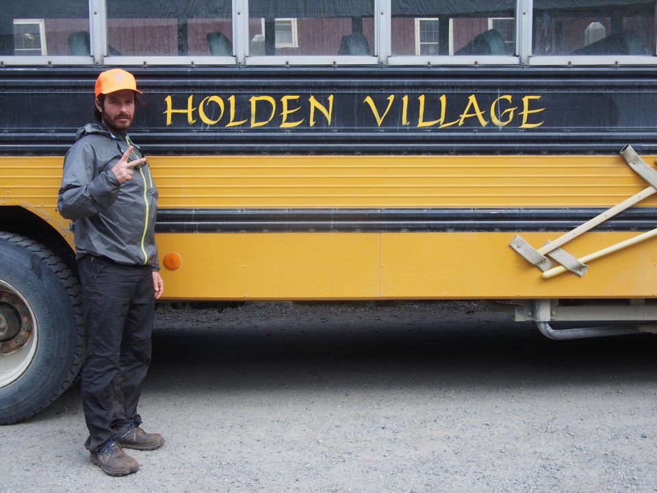
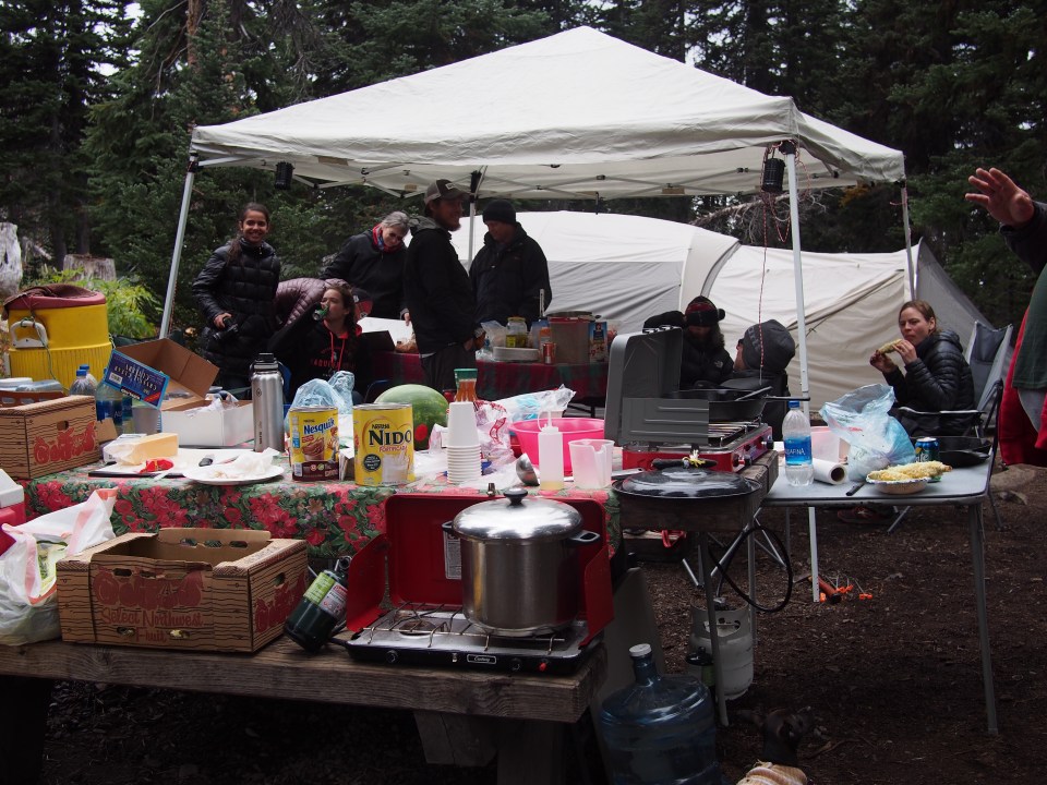
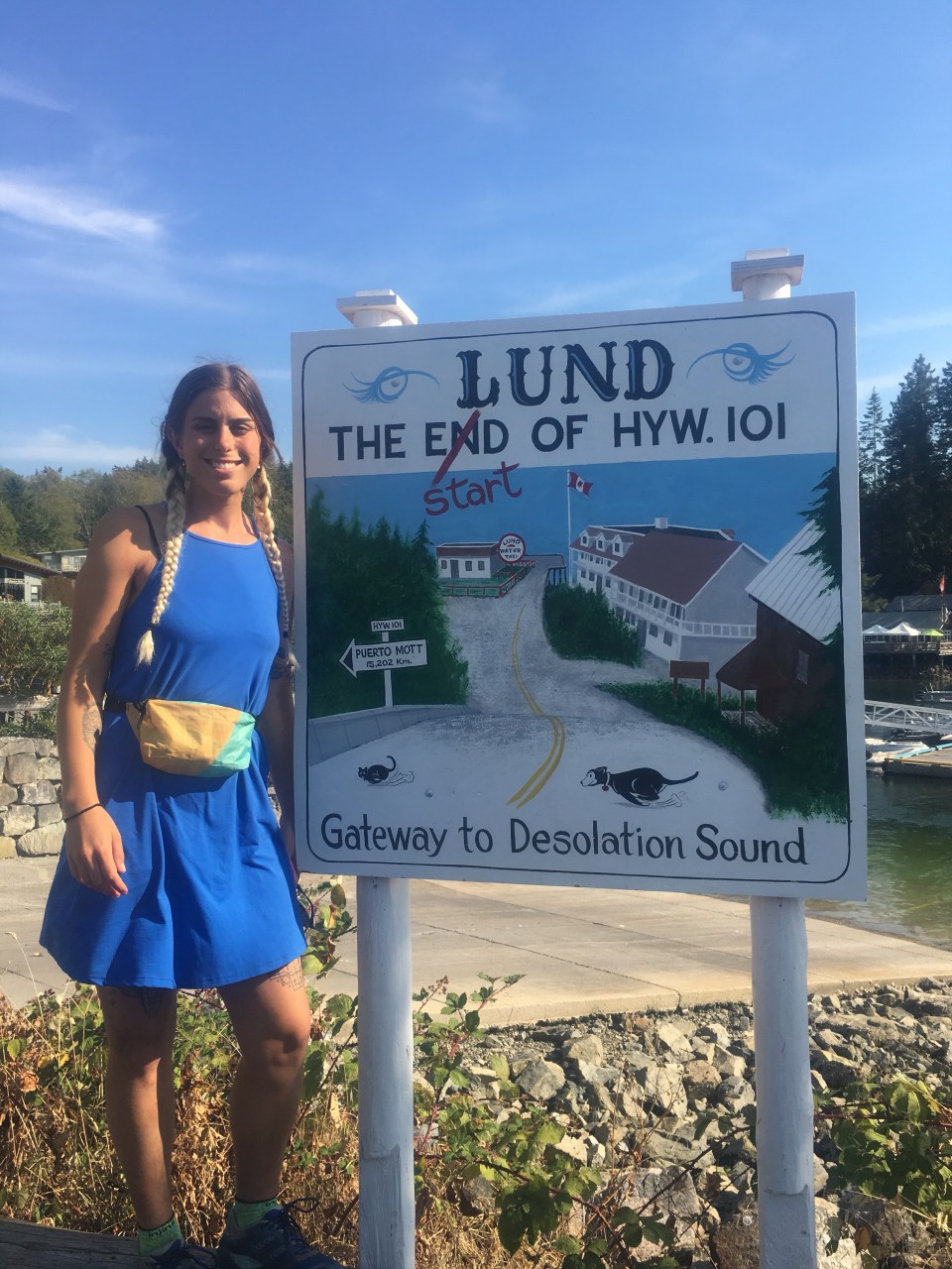
 Red’s Meadow is a mule packing station with a little campground, small restaurant, and small store. It’s not really ideal for resupplying although some hikers mail themselves packages here for a hefty fee. In the past I’ve taken a bus into the town of Mammoth but I guess they only run it on the weekends during September. We heard there was a trail angel running shuttles back and forth so I got his number and gave him a call.
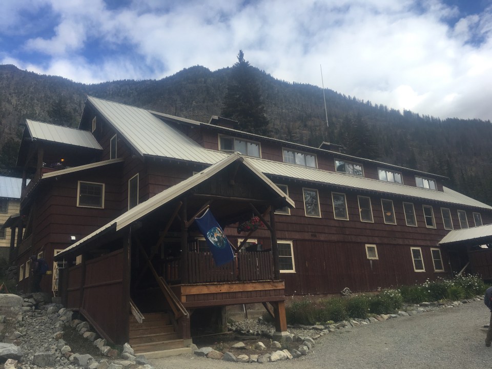
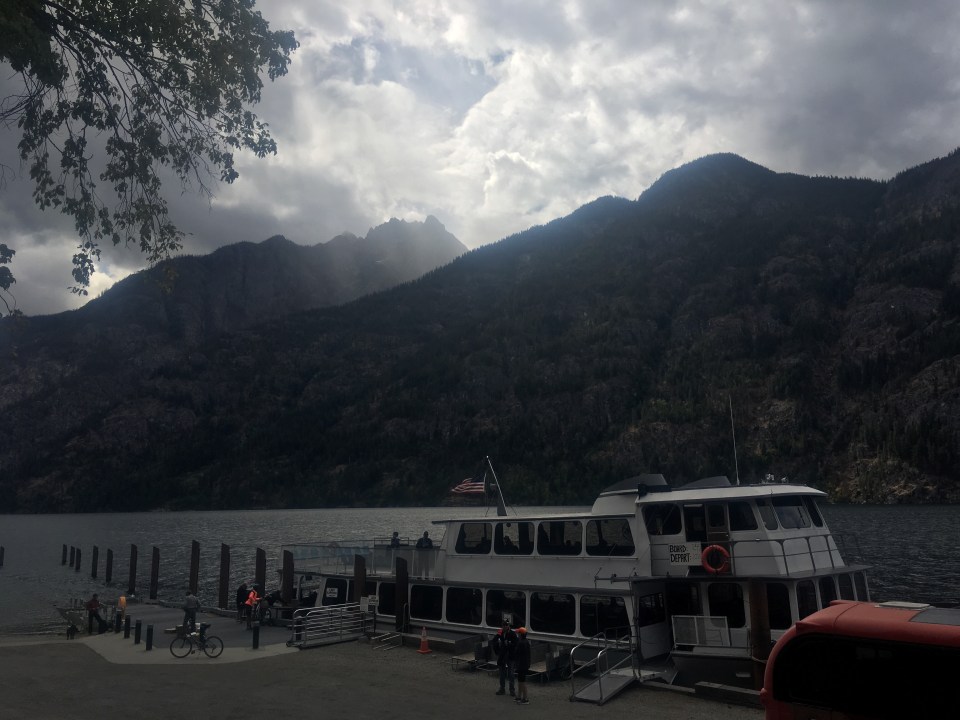
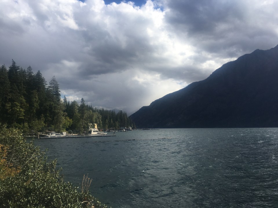
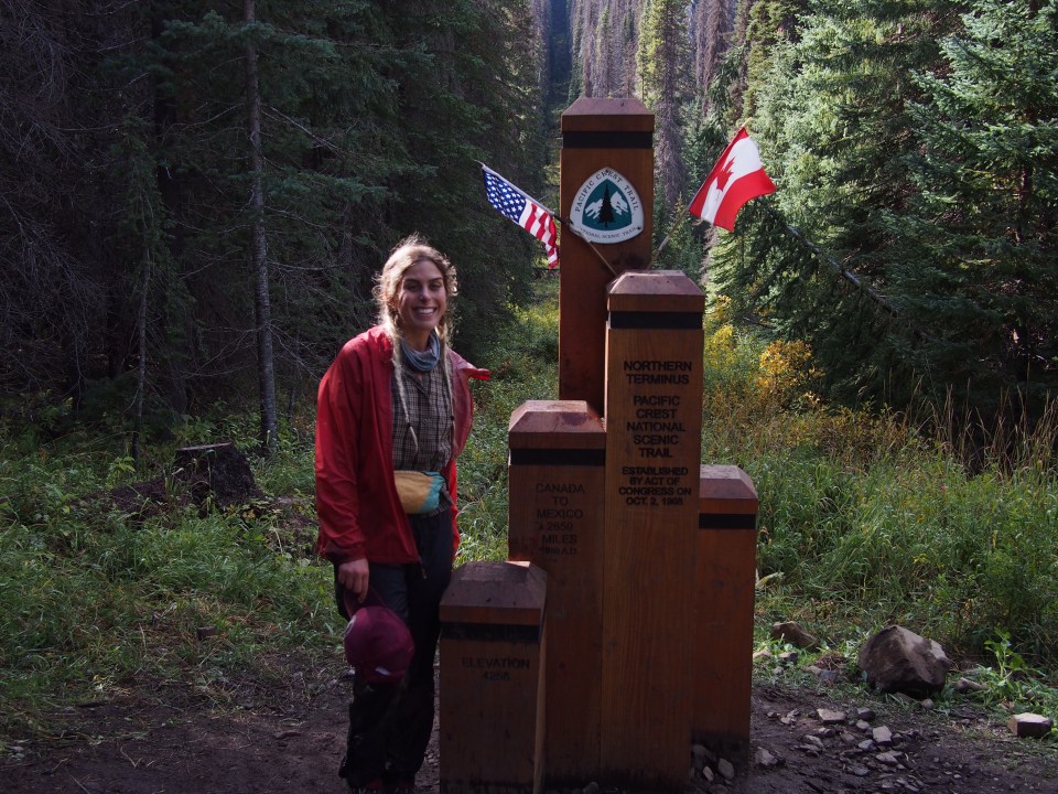
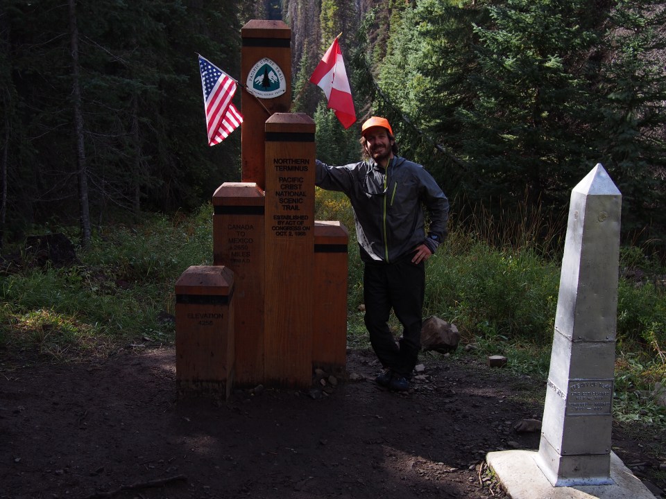
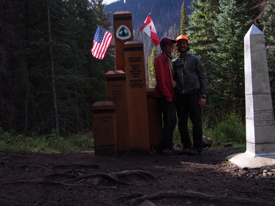
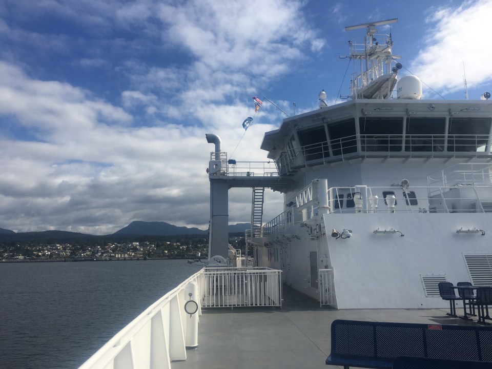
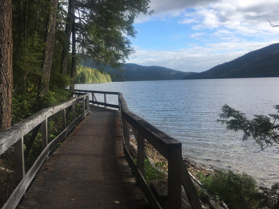
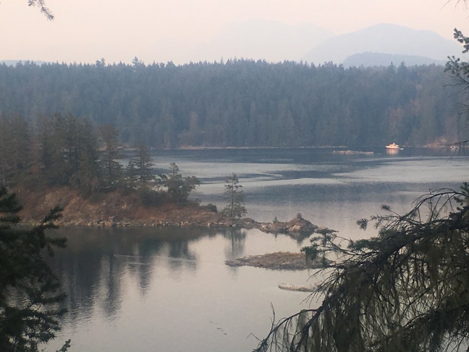
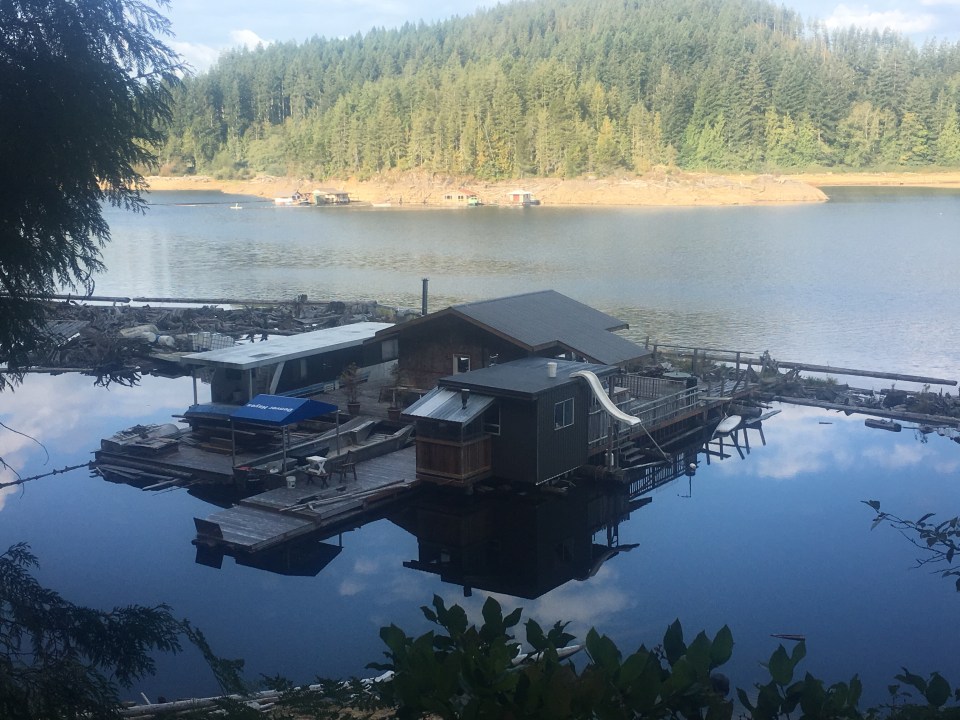
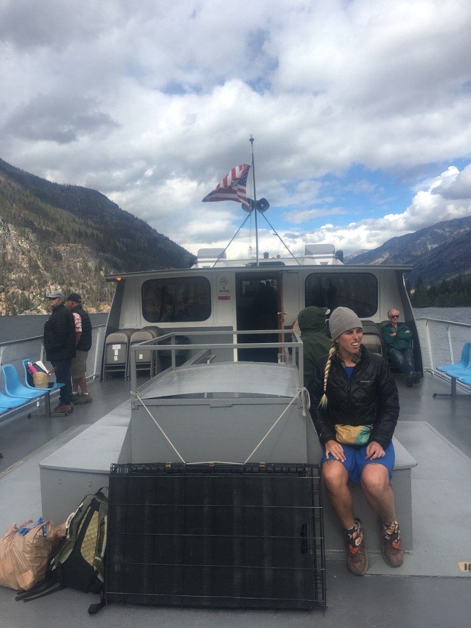 Lake Chelan is a narrow and extremely long and deep lake surrounded by mountains. Someone told me that it’s a fjord but I’m not exactly sure what that means. Stehekin is a tiny town that sits at the top of the lake and is usually the last stop for PCT’ers. It’s a really cool little place, inaccessible by road, it’s a very remote little vacation town for some people. Or I guess people live here year round too.


 feel free to follow this blog or follow me on insta @endlesspsummer and Sara(QB) at @sarahikes


 Feel free to follow me on insta for more pictures @endlesspsummer and Sara or QB @sarahikes