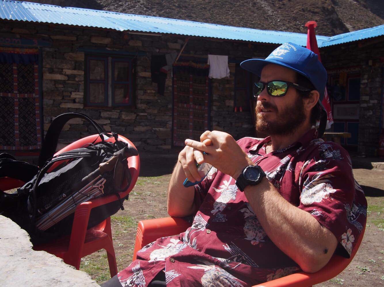
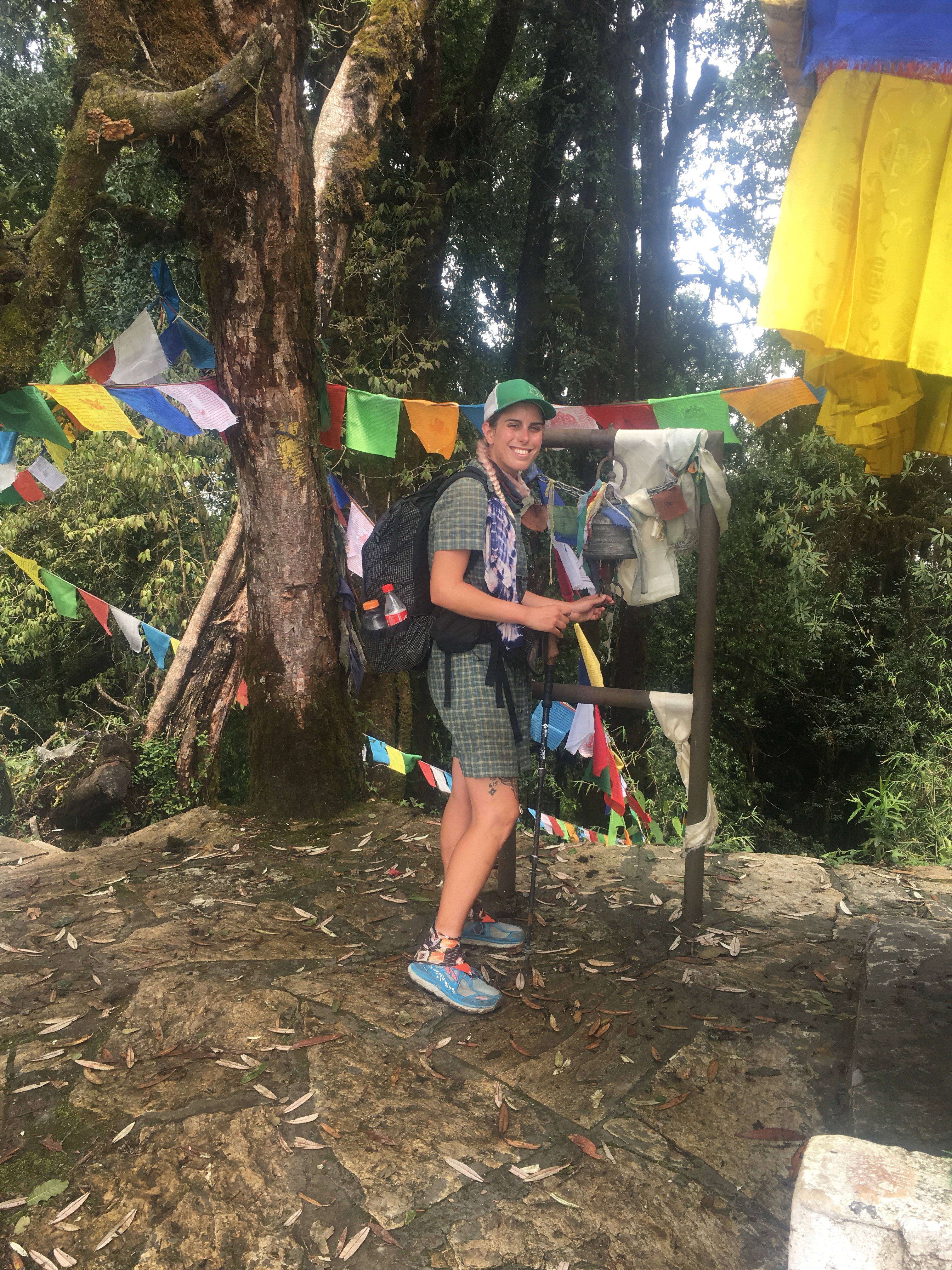
Our plan is to hike the Manaslu Circuit in Nepal with a side trip out and back to Tsum Valley. It will be QB and myself plus Mac and Moist, two friends we met last year while hiking CDT.
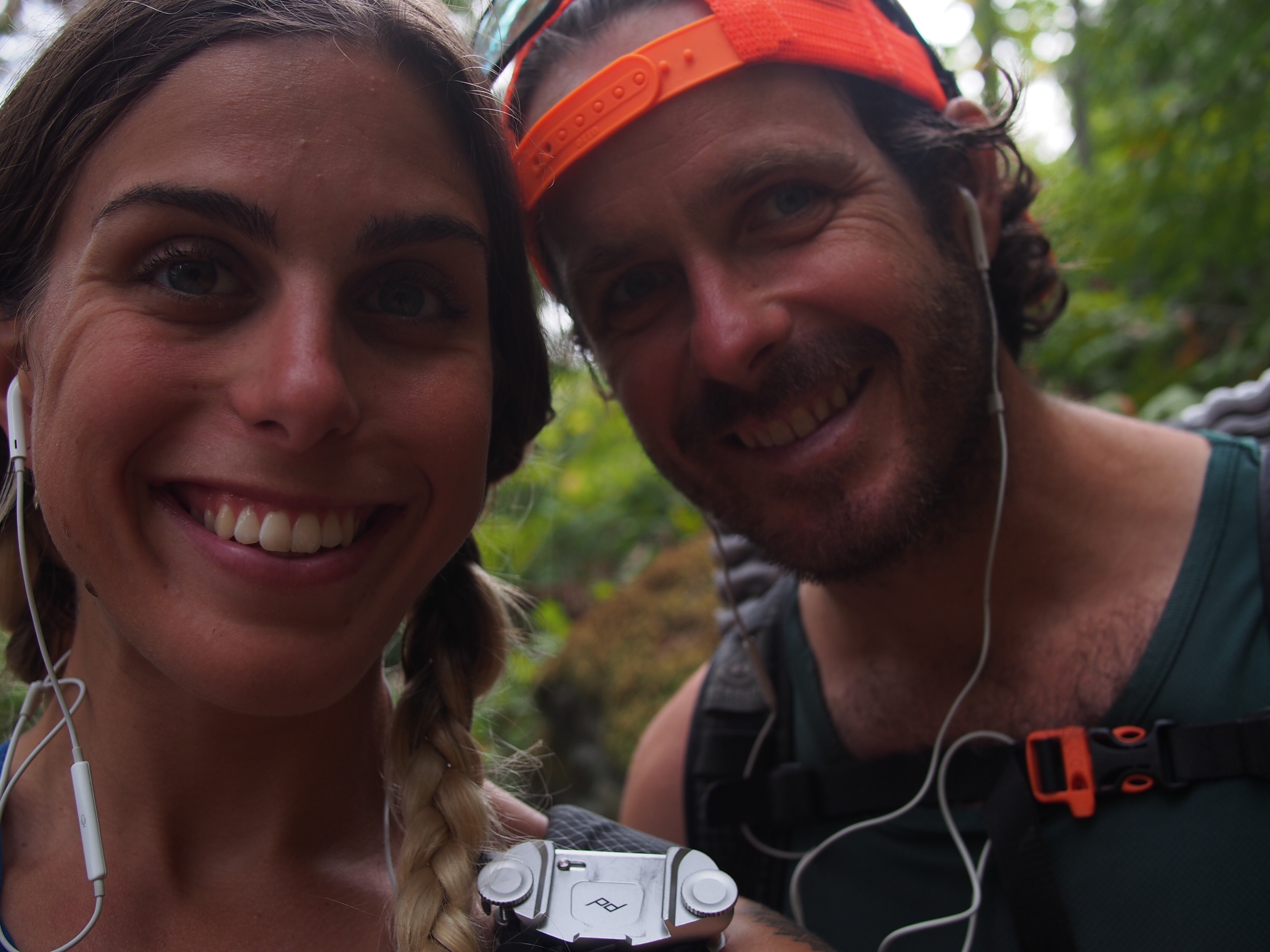
 Mac, Me, Moist
I did my usual next to nothing for preparations but luckily Mac, a full time hiker and traveler, is on it and took care of just about everything. All we had to do is show up. Mac took care of getting the permits, vetting and selecting a guide, and organizing a Jeep ride for all of us for the 8 hour trip from Kathmandu to Arughat Bazar. this should get us there no problem
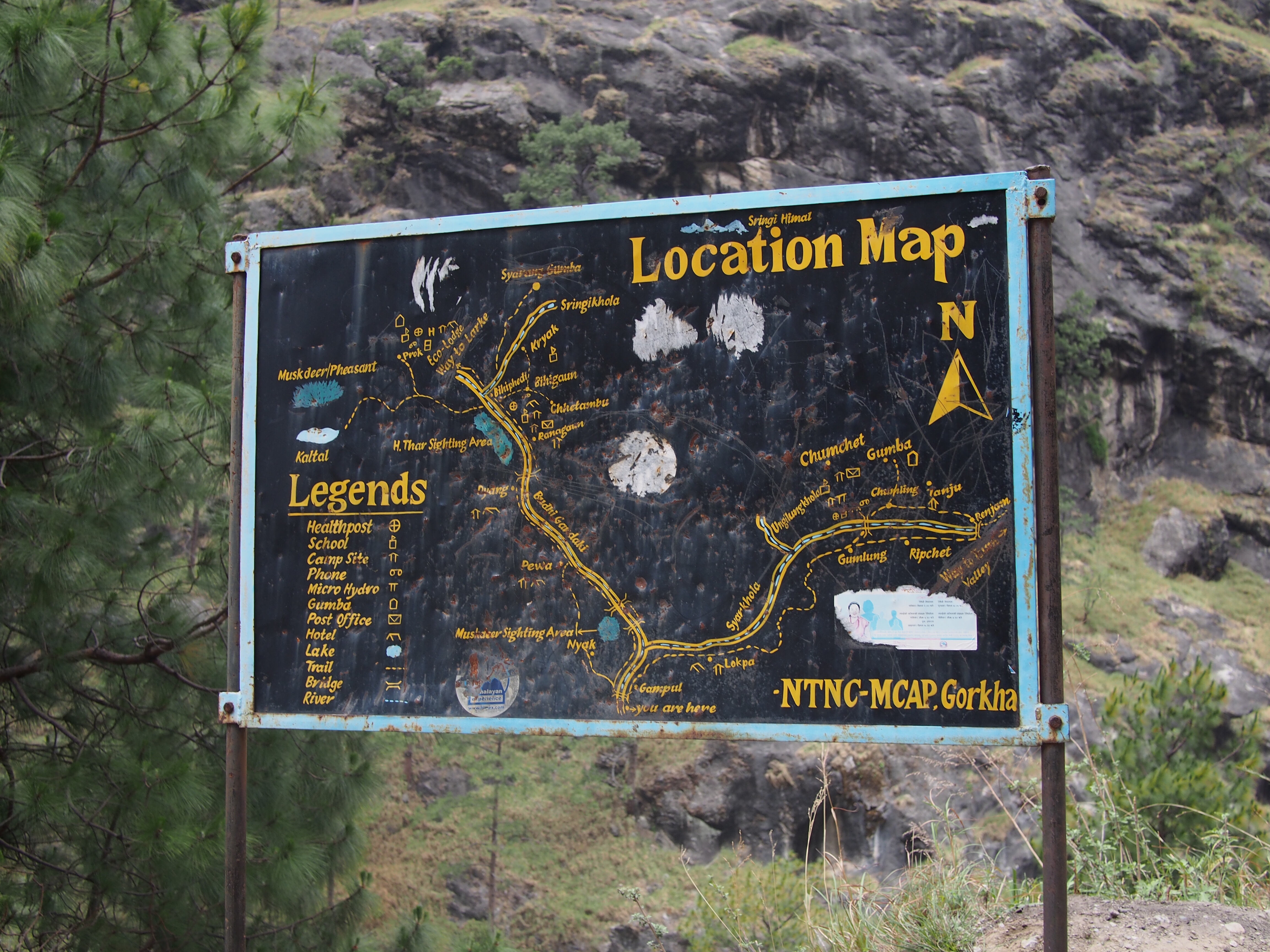
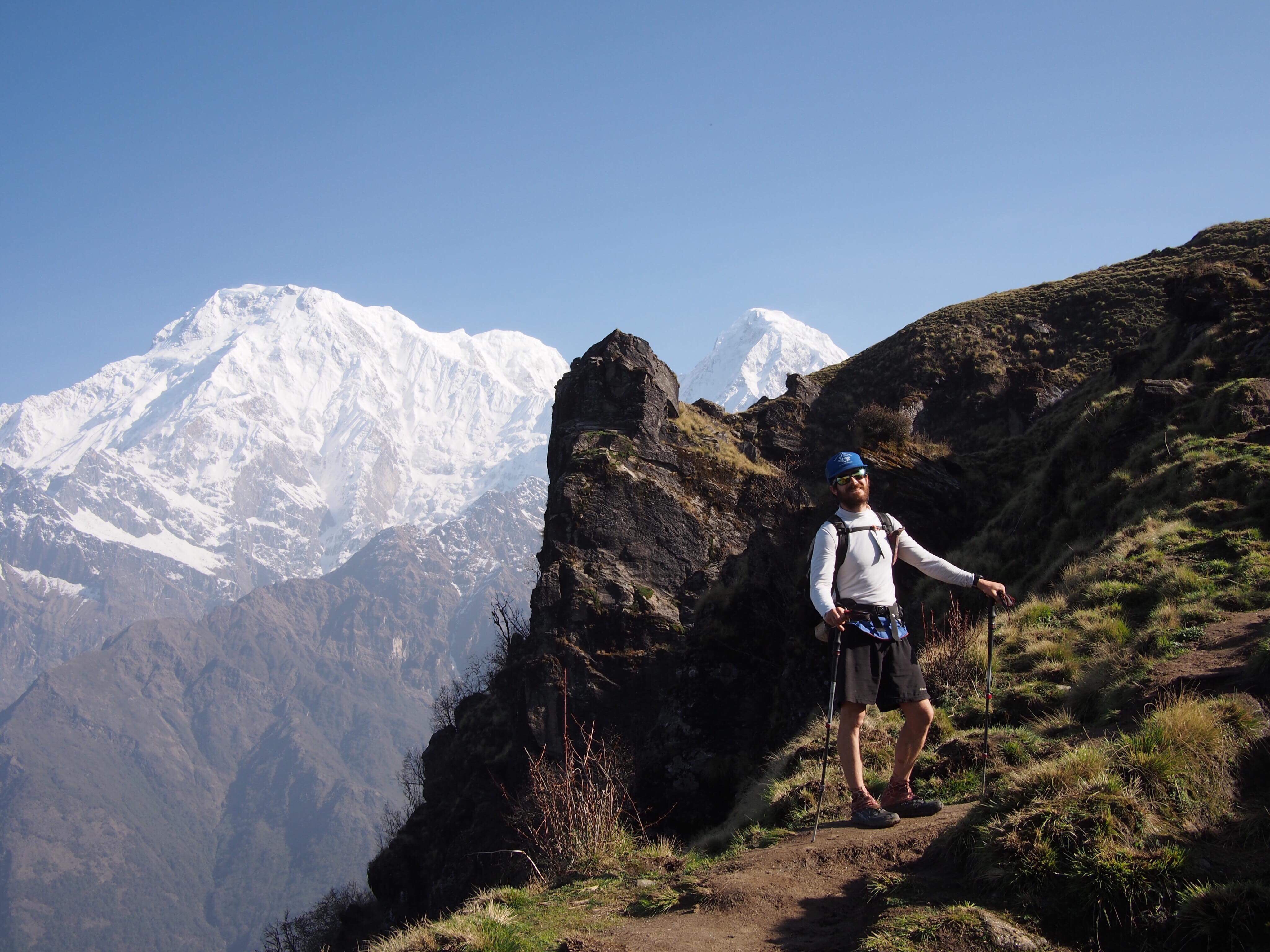
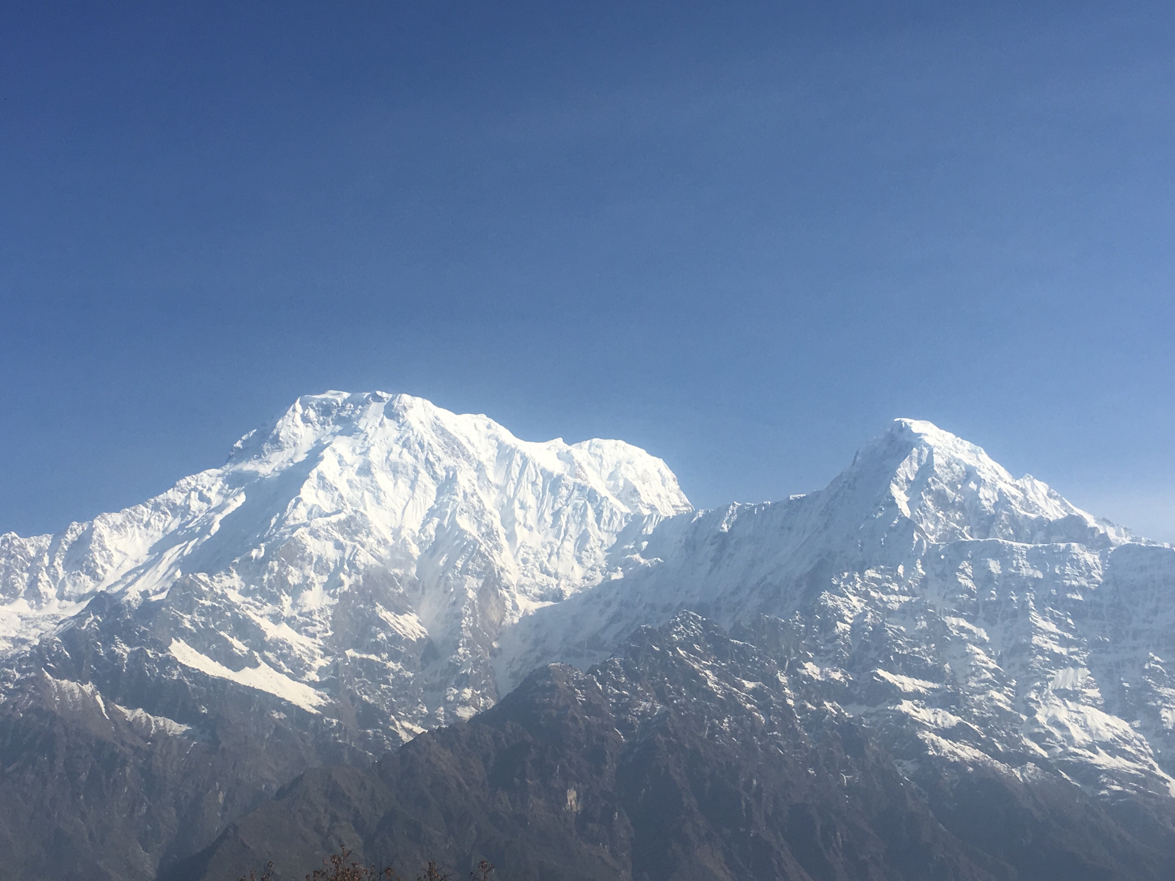
Manaslu Circuit is a trail that goes around Manaslu Peak (the 8th largest mountain in the world at over 8,000 meters). We’ll be topping out at 16,900 feet on Larke Pass. It usually takes people between 2-3 weeks for the hike (or the trek, they call hiking trekking out here). The circuit requires a couple different permits; one for the Manaslu region and one for the Annapurna region which we’ll be crossing into. We also are required to have a guide which will be a new experience for me. With everything it was a little over $300 USD to get started.
Instead of camping which I’m used to, we’ll be stopping in villages every night and staying in tea houses or lodges which are really just very basic accommodation. Instead of carrying food we’ll be stopping to eat all our meals at tea houses.

While you are reading this blog don’t get too hung up on spelling, the Nepali certainly don’t. Same goes for elevations; I’ve seen plenty of different numbers for the same place, I think the numbers are just a general estimate and I have to convert from meters to feet which just complicates matters further.
Getting here:
From Vegas on the 13th, QB and I took an overnight flight to New York. We spent a couple days with her family there and my folks came down from Massachusetts for the weekend. Monday morning the 16th we were scheduled to fly from JFK in New York to Kathmandu, Nepal. Due to a storm on the east coast we were delayed about 4 hours but it ended up being no big deal.
The first leg of our journey was a 12 hour flight on Qatar air to Doha, Qatar. This was the biggest, most luxurious airplane I’ve ever been on, and they fed us real well. Plus there was a person missing in our row so we had even more space in our already oversized seats. Exactly what I could have hoped for on a flight around the world. Hamad airport in Doha was gigantic and state of the art. Because of the weather delay, Qatar air provided all of the passengers a lunch voucher which was a nice touch but more importantly there was another flight going to Kathmandu in a couple hours so even though we missed our transfer we were still good to go.
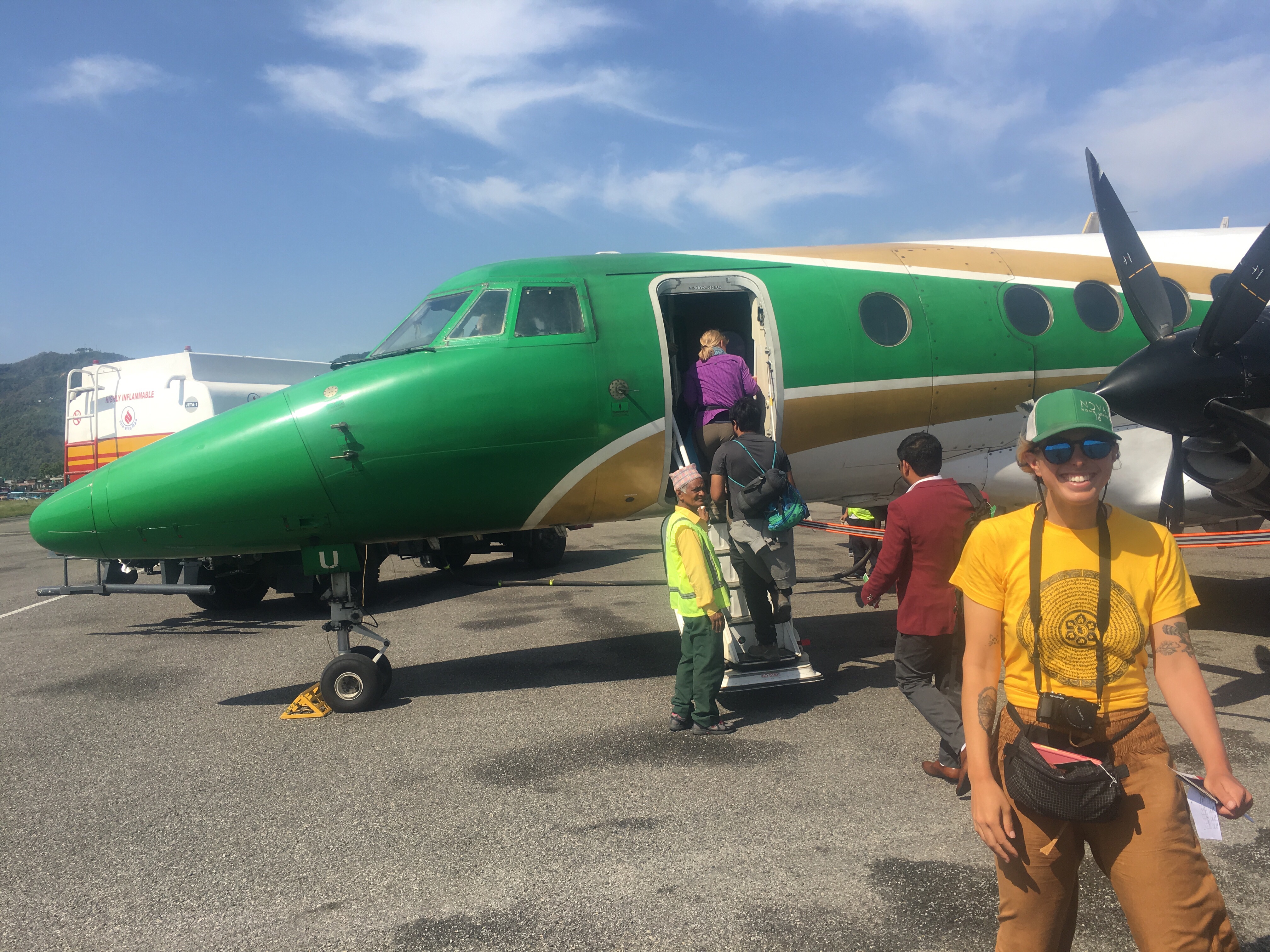
After a 5 hour flight we arrived in Kathmandu around 7:30 pm local time. We cruised through customs quickly and were greeted by our welcoming committee, Mac and Moist. From the airport we took a taxi to our hotel in Thamel which is the main tourist district of the city. For supper we went around the corner and got some falafel wraps for like 200 rupees which translates to about 2 USD. Amazingly after losing 9 hours and 45 mins due to traveling, QB and I both crashed out around 11 pm and woke around 630am. Right on schedule. We got on a good sleep rhythm right away.
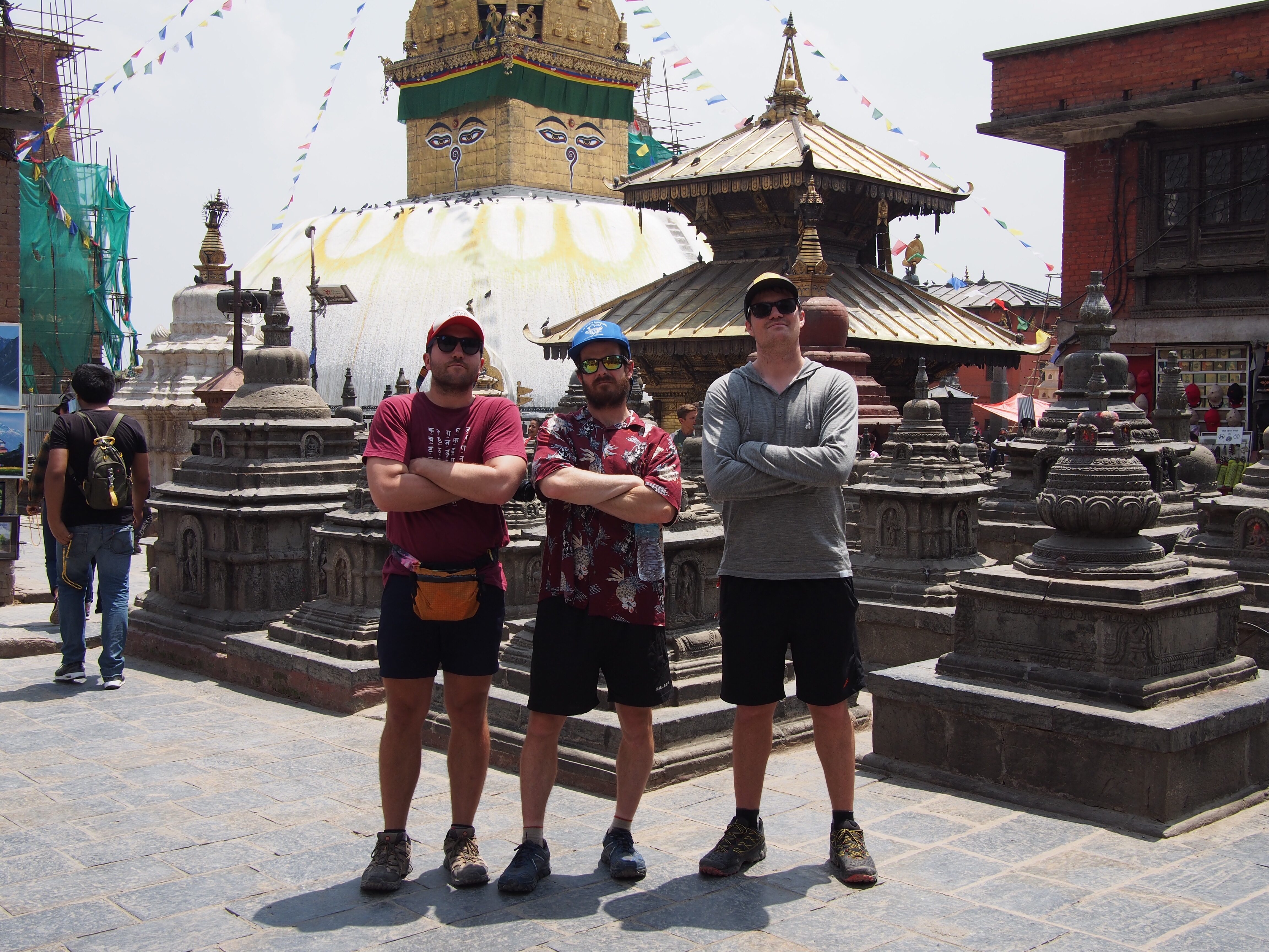
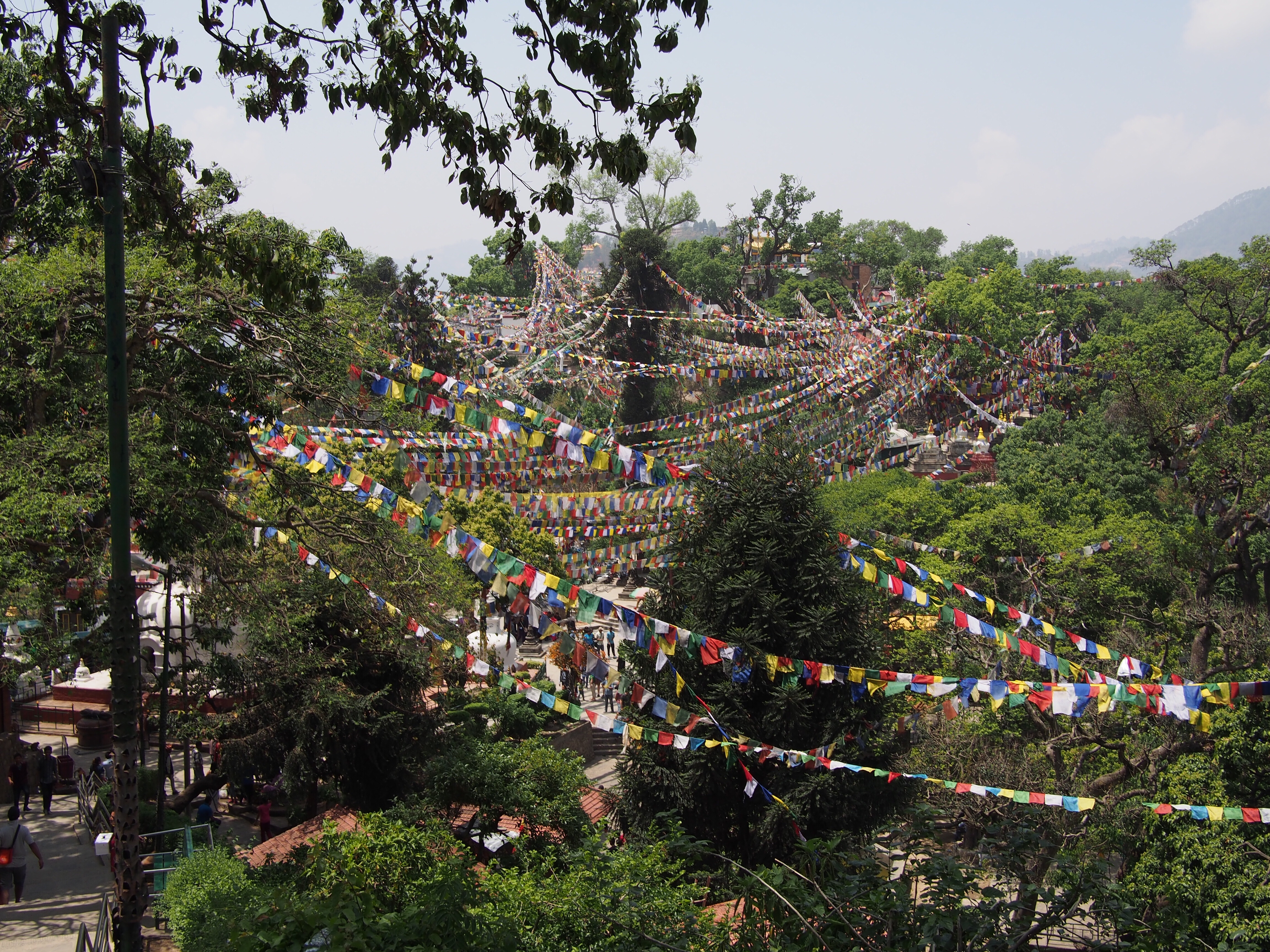
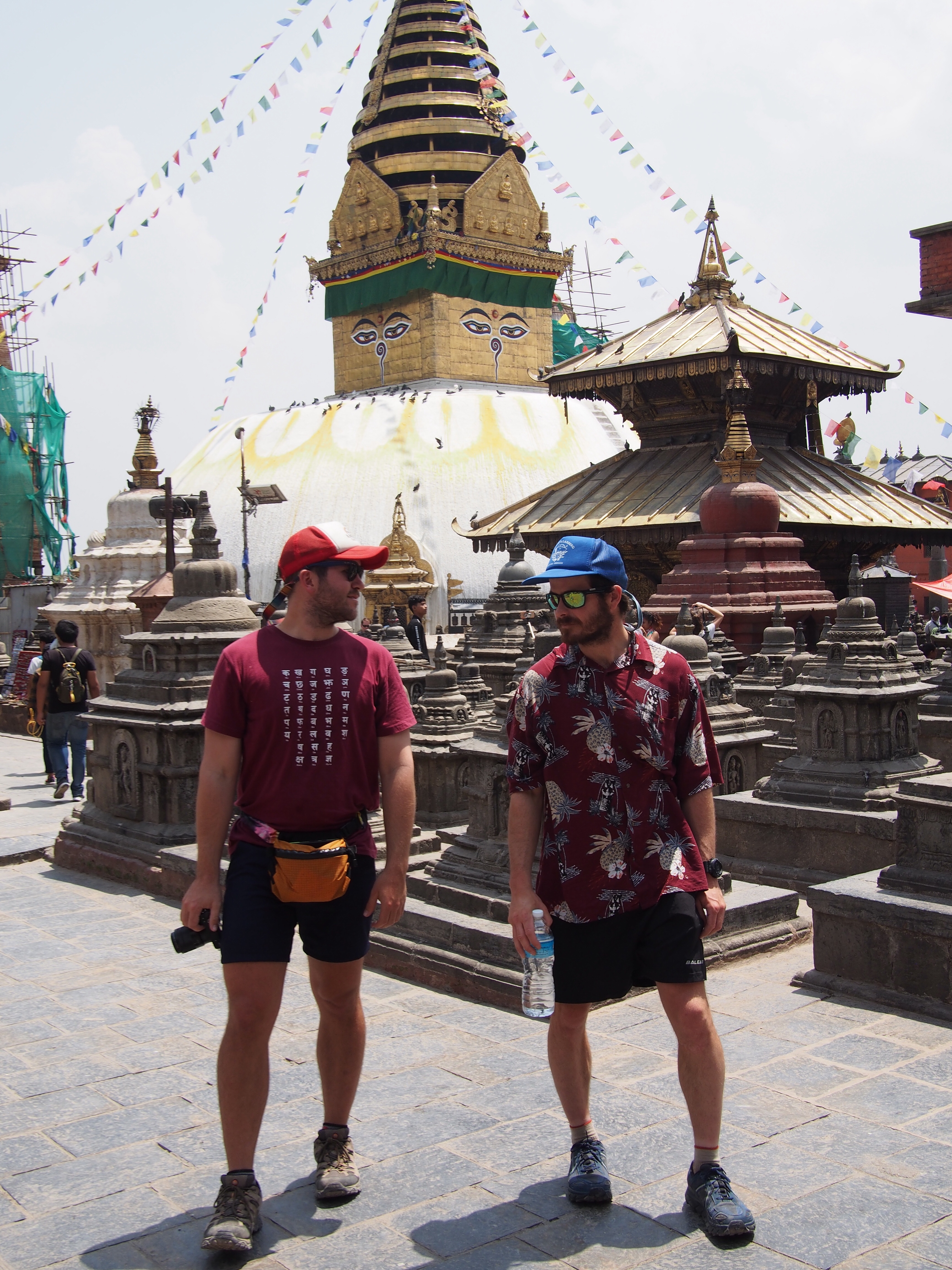
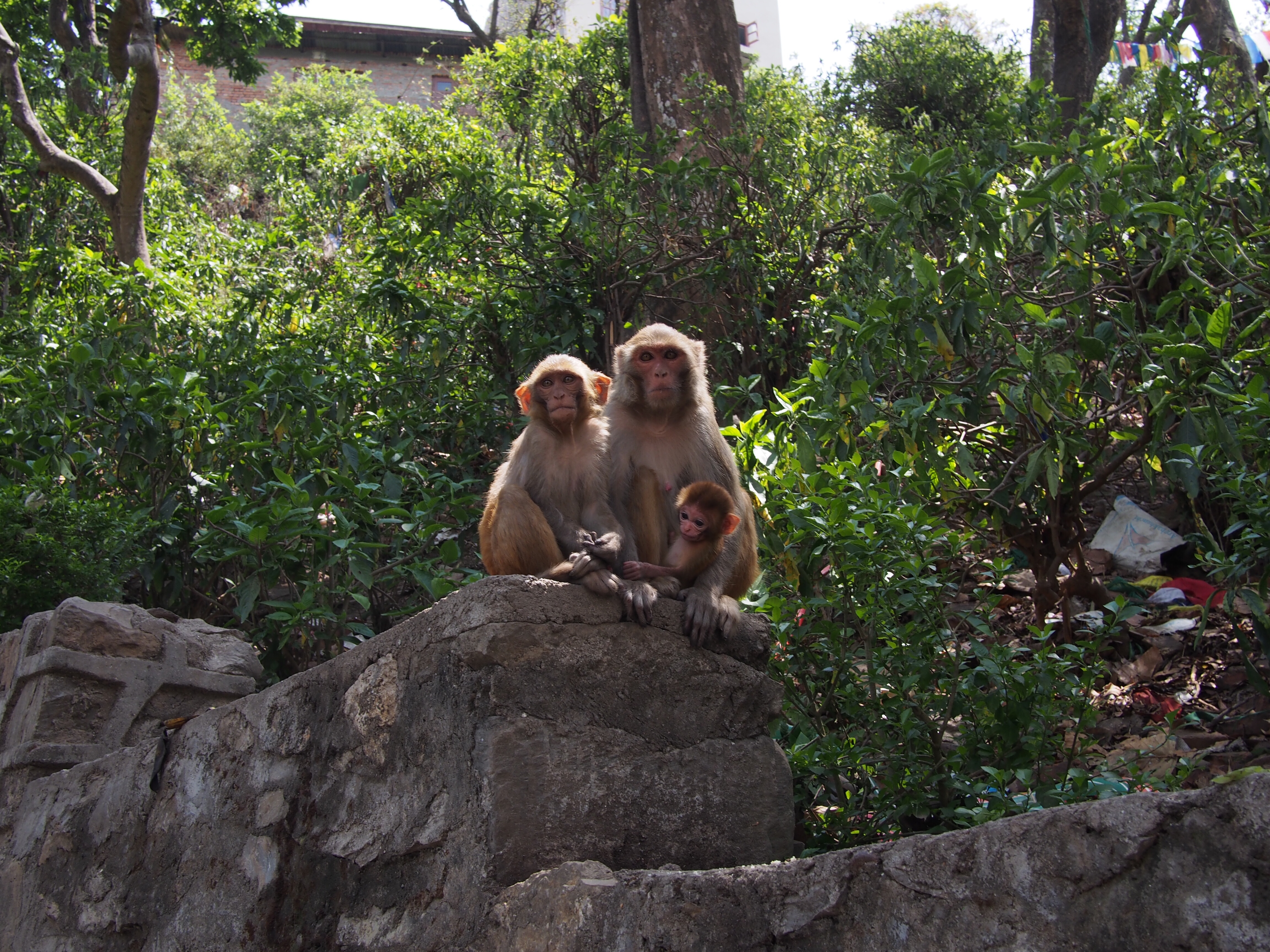
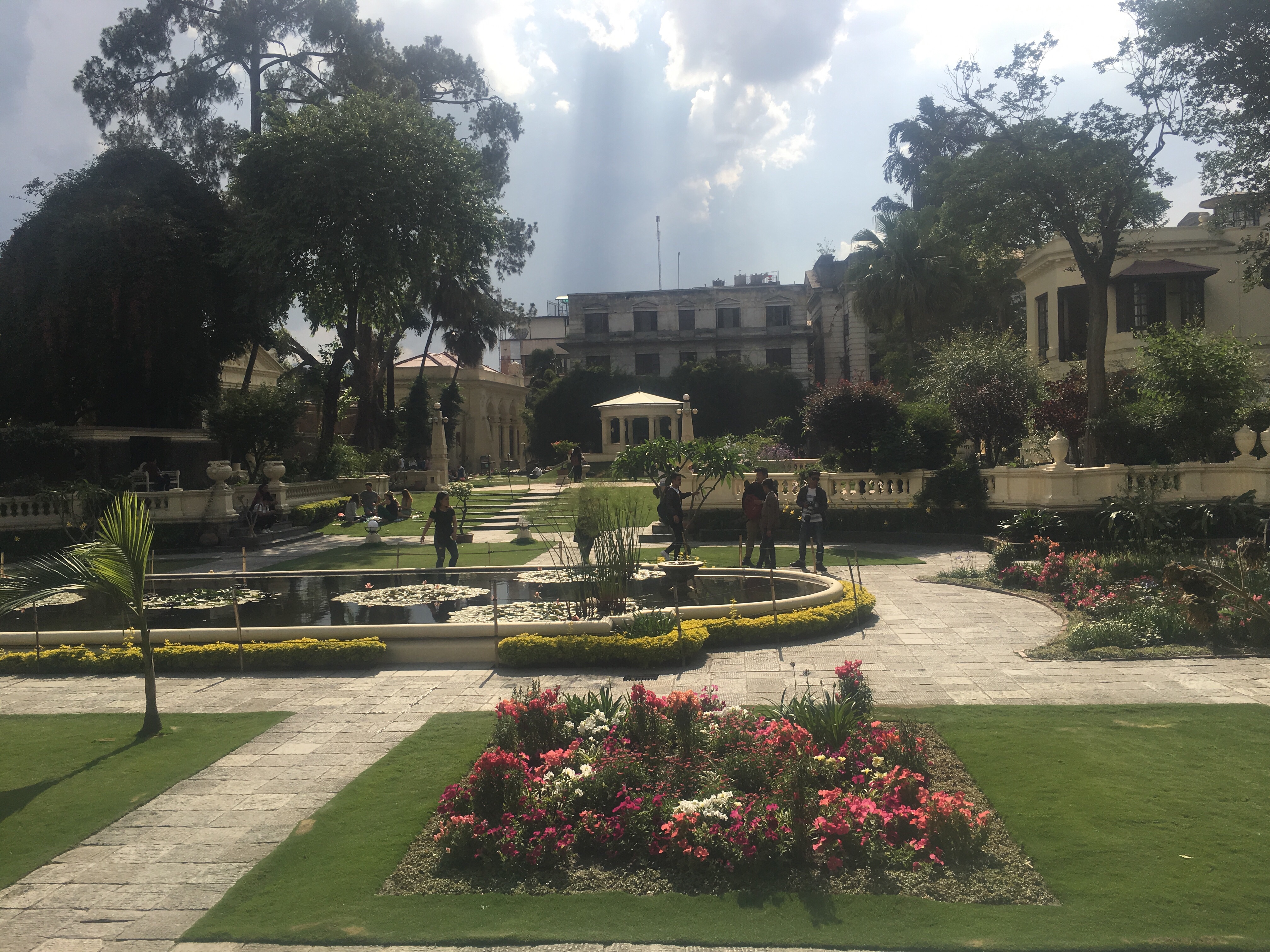
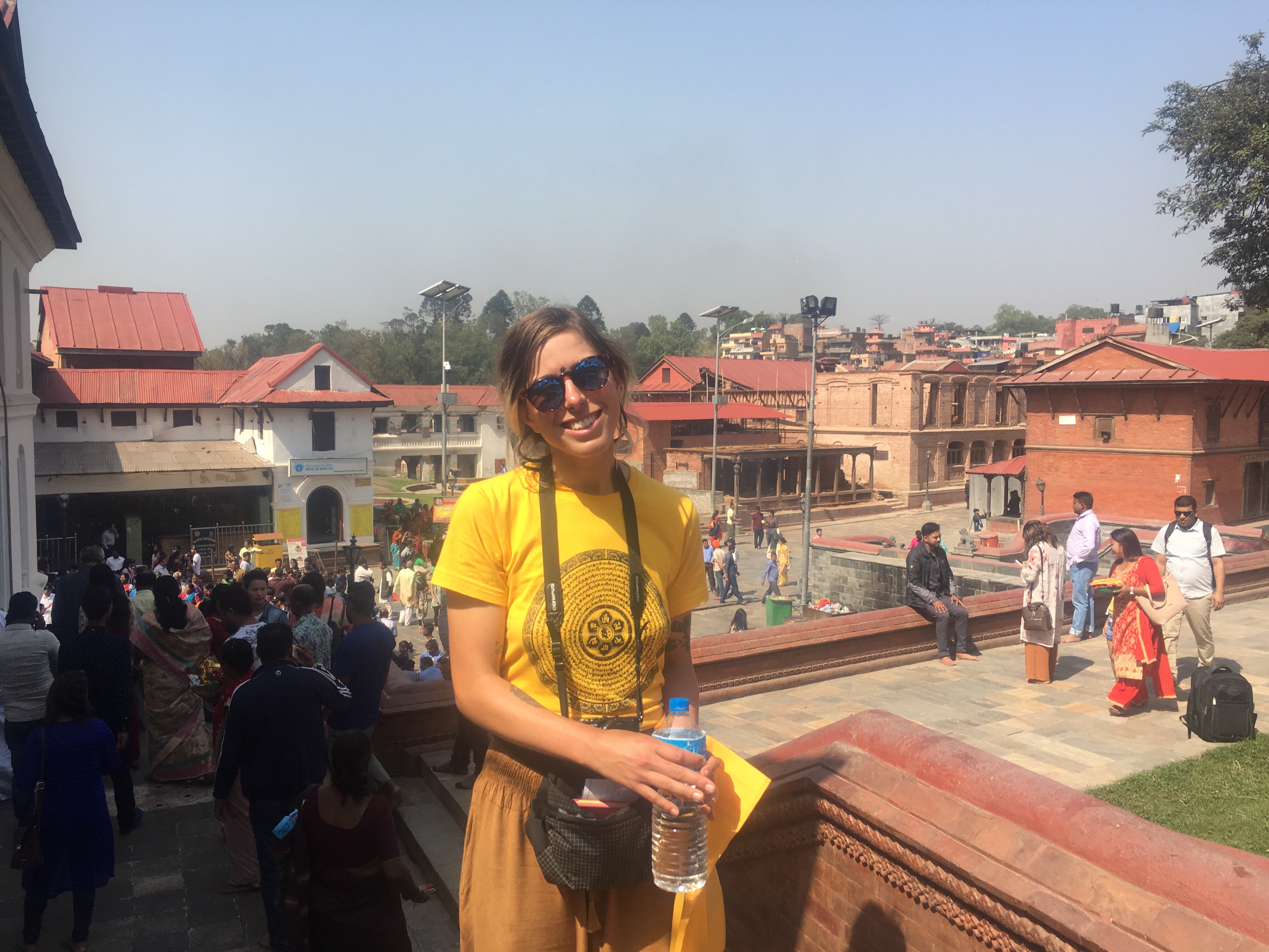
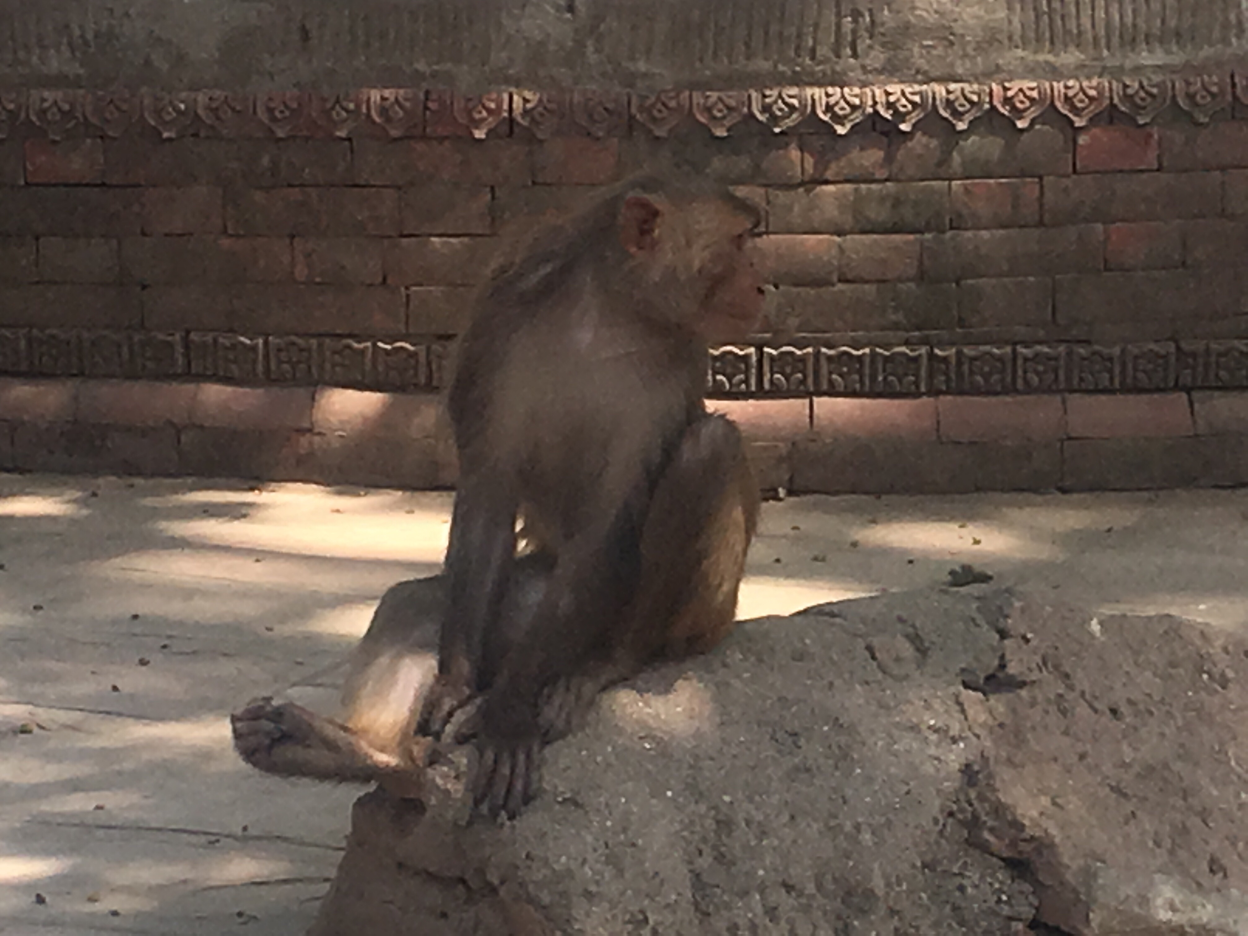
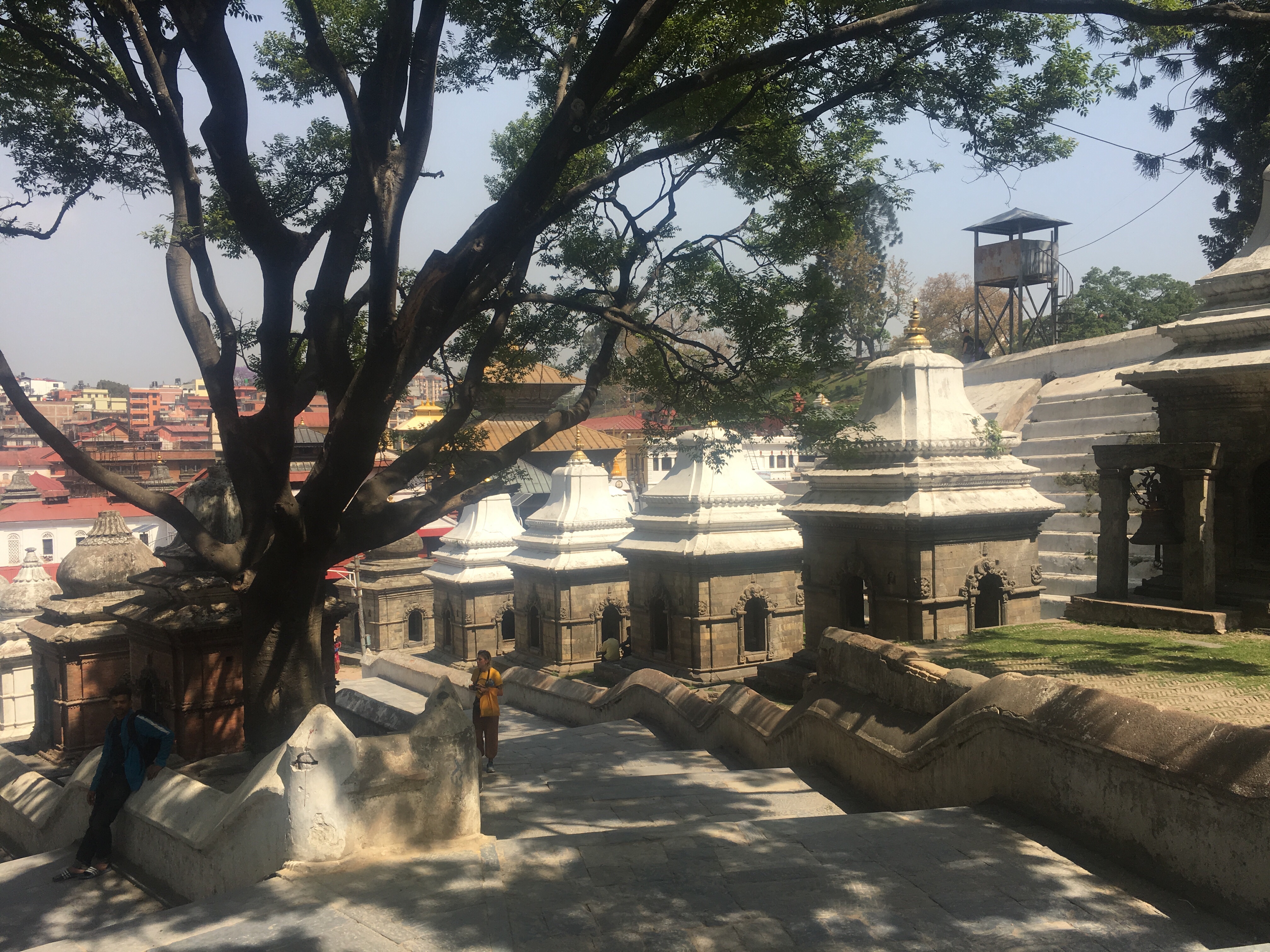
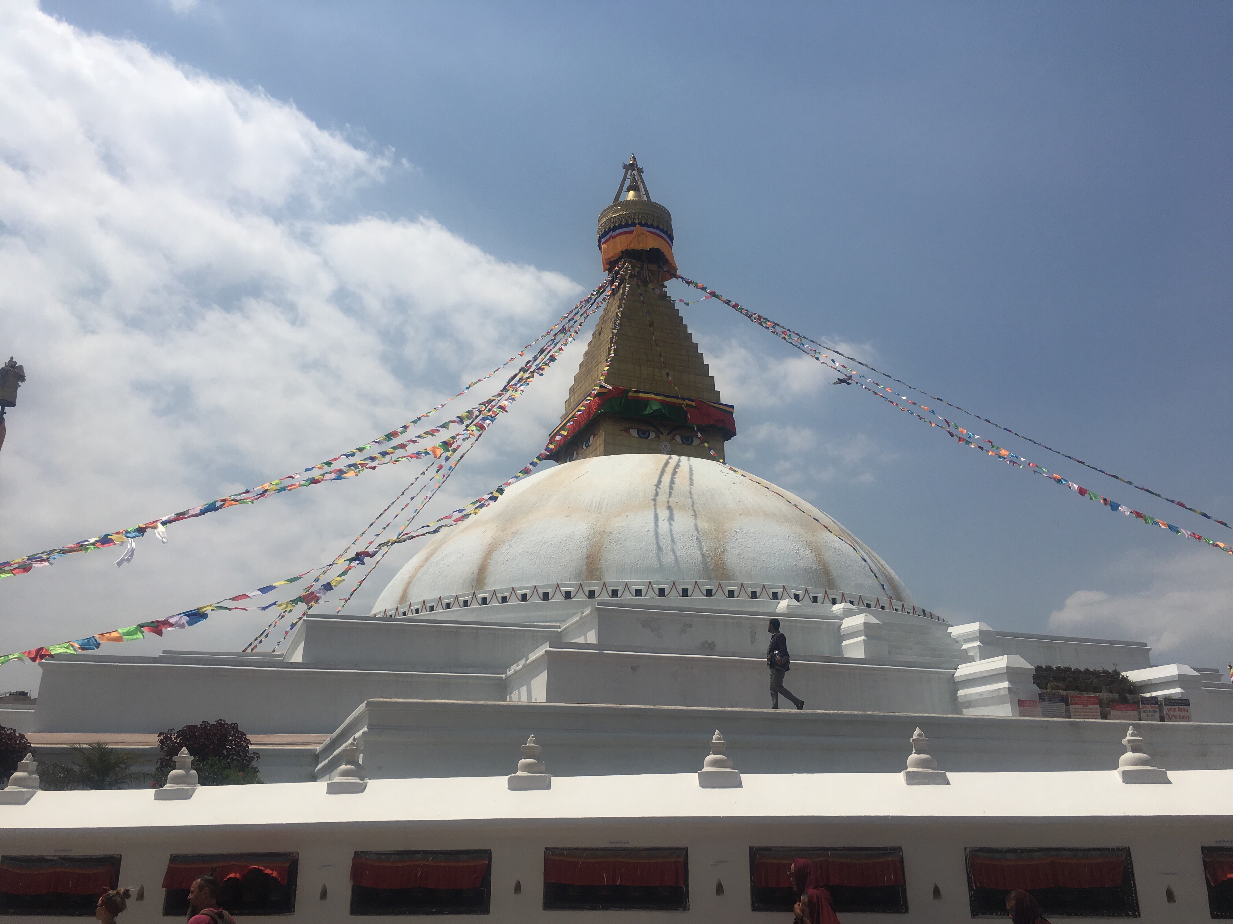
The following day we explored around Kathmandu and took care of any errands that needed taking care of. We also checked out some of the local attractions, like Monkey Temple and Durbar Square.
4/19
Arughat Bazaar
Elev. 1665 feet
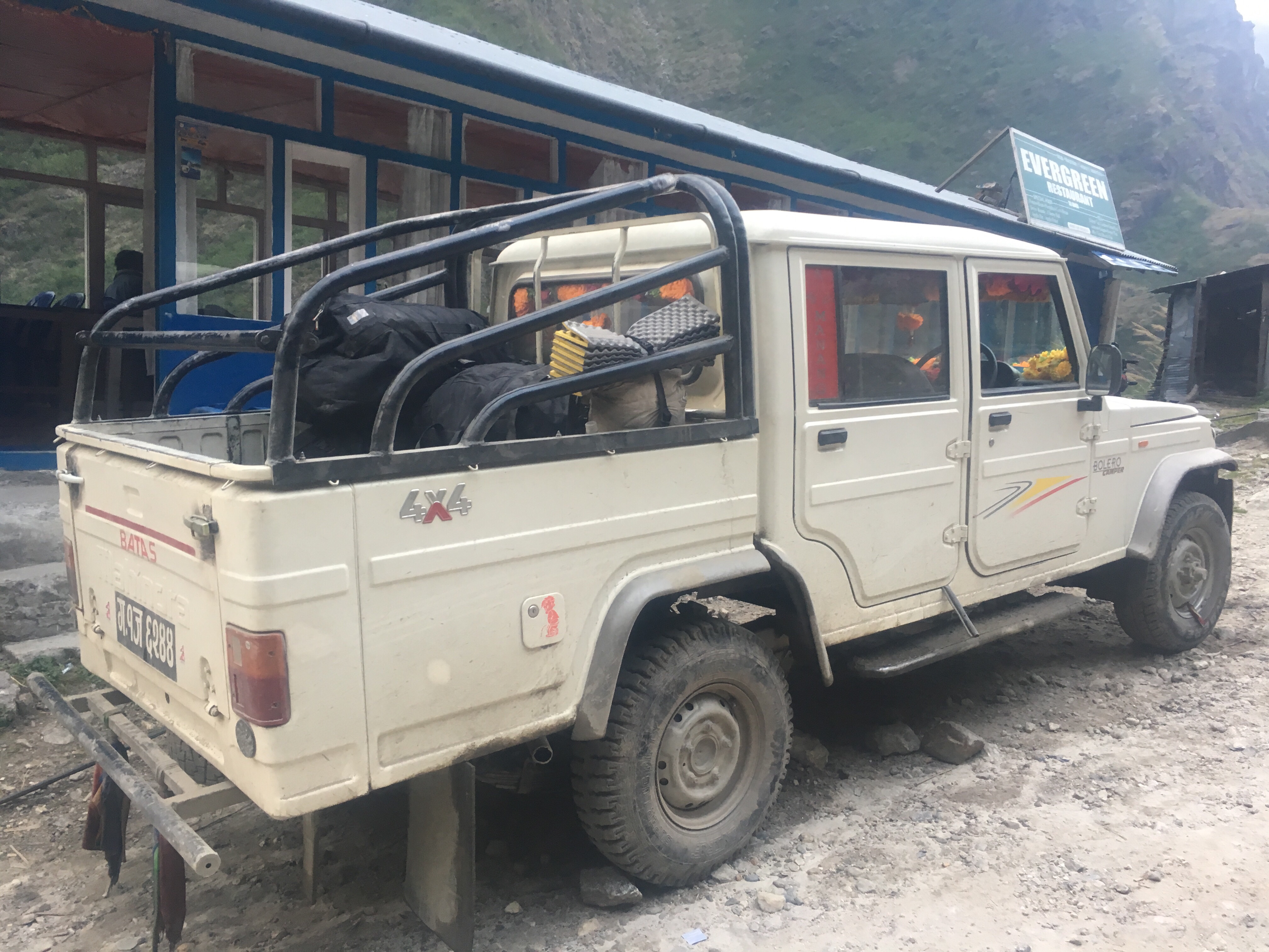
Gopal our guide met us at the Norbulinka hotel at 7:30 this morning and Visal the driver showed up shortly afterwards in a Scorpio SUV.
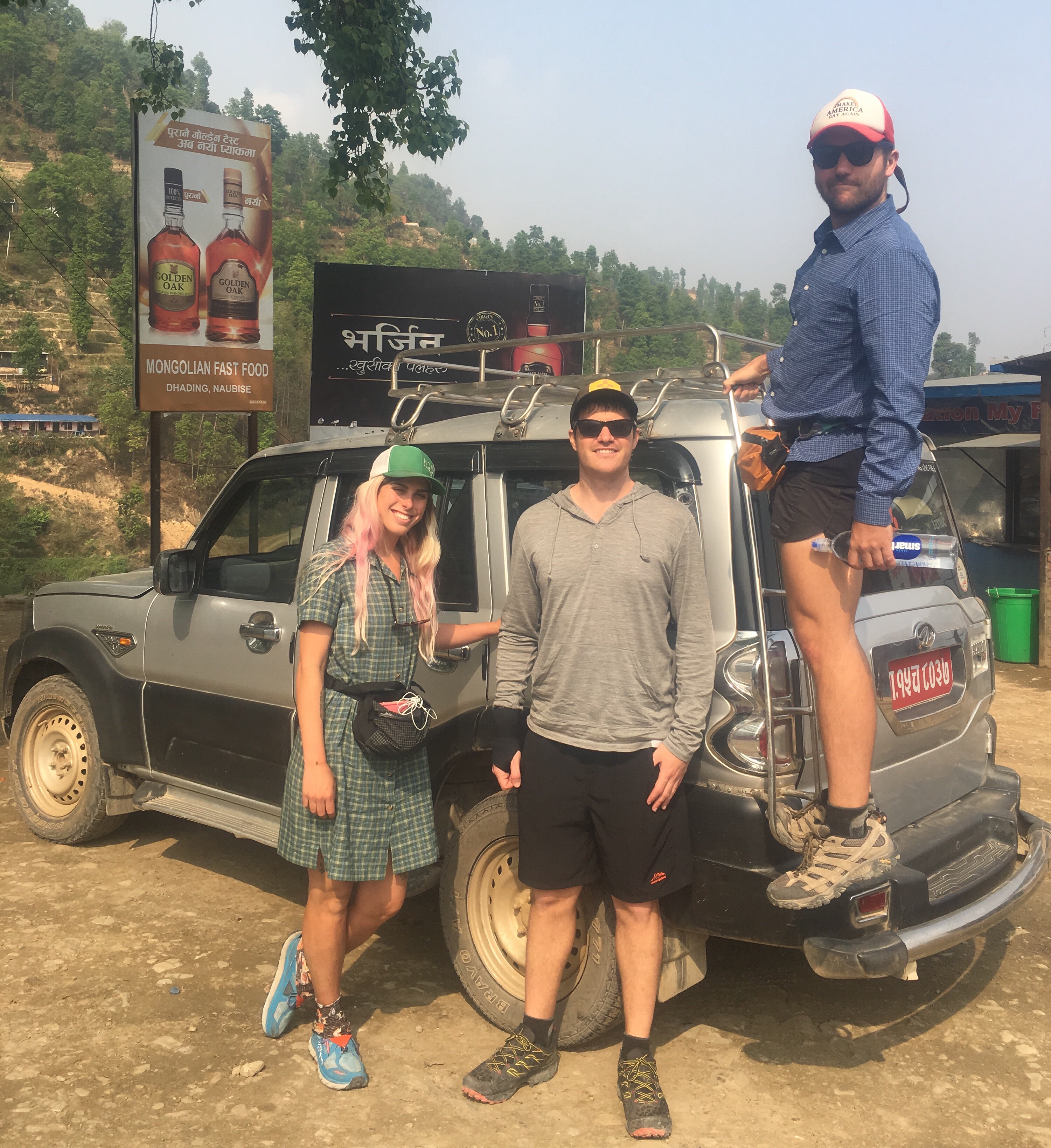
We hit the road right away and for about 4 hours we were on paved roads going through crowded urban areas and getting jammed up with traffic all over the place. Visal was a very popular guy because everybody that saw him beeped at him and he beeped at everybody too, I mean everybody. Driving through the city was crazy, I can’t believe we didn’t get into a million accidents. Around noon we stopped at a little road side pull-off that catered to tourists and filled up a plate of food and sat by a river.
Back on the road there was only another half hour of the good paved stuff until we crossed a river and were on bumpy, muddy, dirt roads the rest of the way to Arughat. It didn’t take long for our 2wd Scorpio to hit some deep mud and get real stuck. We created a bit of a traffic jam, and then bus behind us with about 50 passengers also got stuck. Now there was a huge crowdand a whole lot of watching as everybody gave their opinion, pushed in different directions, did all kinds of stuff and eventually the trucks all became unstuck and we were able to move on. This went on for a couple hours though, it was quite a scene. I guess it happens all the time on this road and was no big deal.
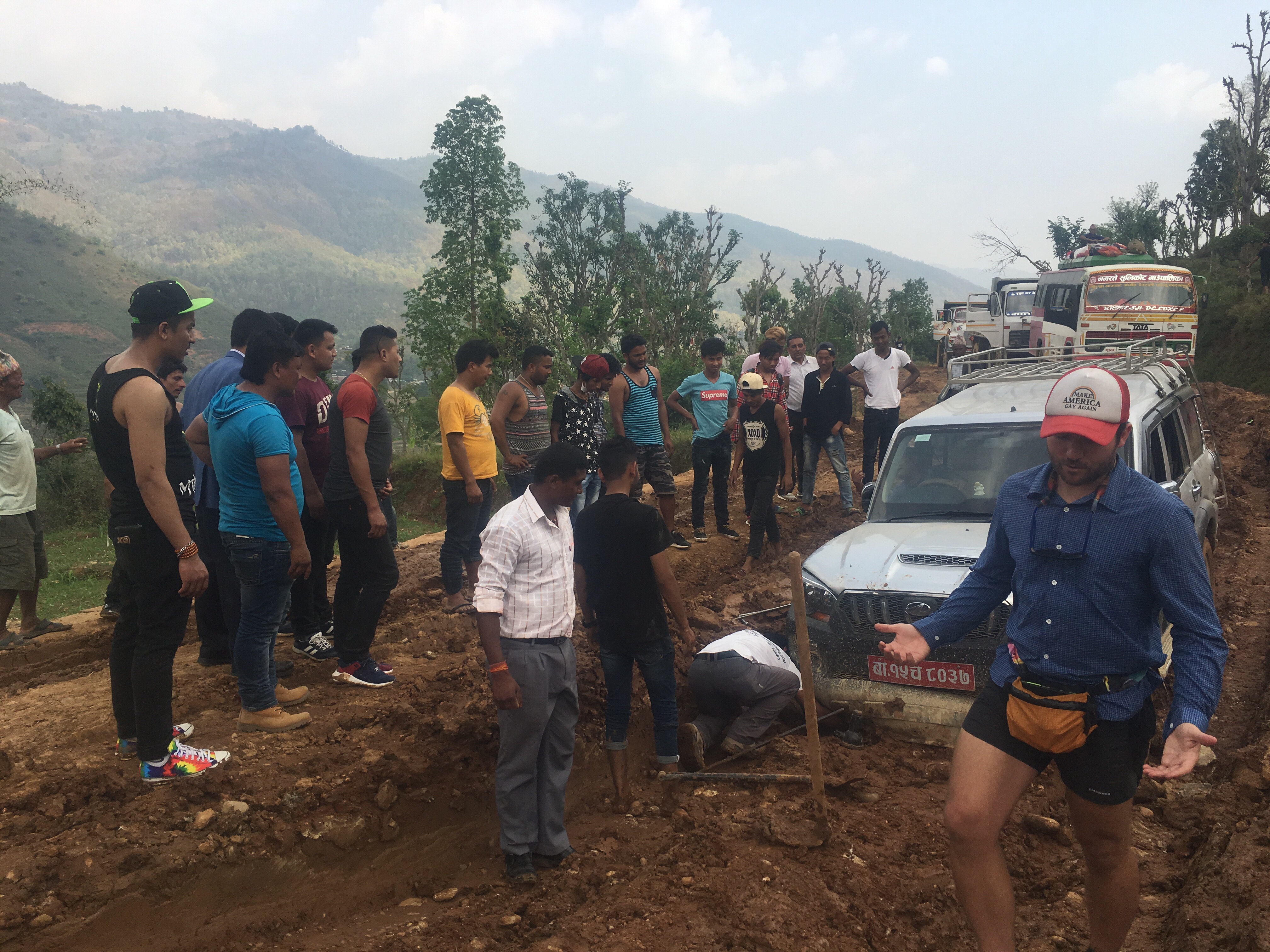

Once we got going again we still had about 3 more hours of driving this wicked bumpy road through farming villages and down into and out of a jungle. We made it through sections of road that had rivers running right through them and other situations that were just as muddy as when we got stuck and then at one point the driver even got pulled over and got a 500 rupee ticket ($5) for some silly rule but eventually we made it to our destination, Arughat Bazaar. Even though the traffic was miserable, and the road was probably the worst I’ve ever been on, it was still an enjoyable ride and was leaps and bounds better than our alternative; being crammed into the bus. The Scorpio was comfortable, the company was fun and Visal was a good driver. When we got to Arughat we got set up at a guest house and got some food. The room even has a toilet and a fan.
Day 1
Dobhan
Elev. 3850 ft
We got up this morning around 6 and ate breakfast at the hotel in Arughat. Fresh eggs from their chickens, toast, honey they harvest from the bees on the roof, and a miniature banana from a tree nearby. And black tea, I’m trying to switch from coffee to tea while on this hike, so far it’s going ok.
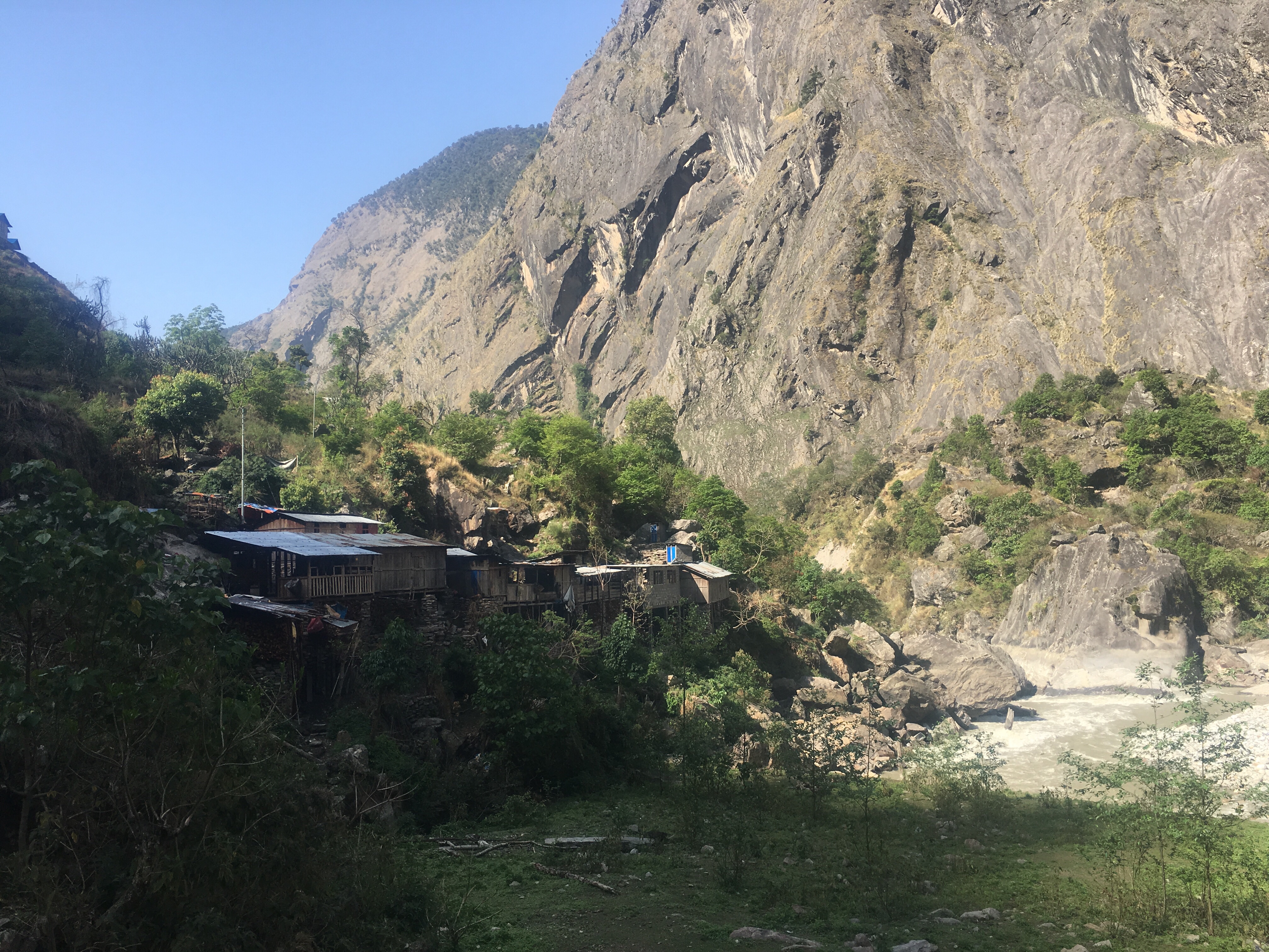
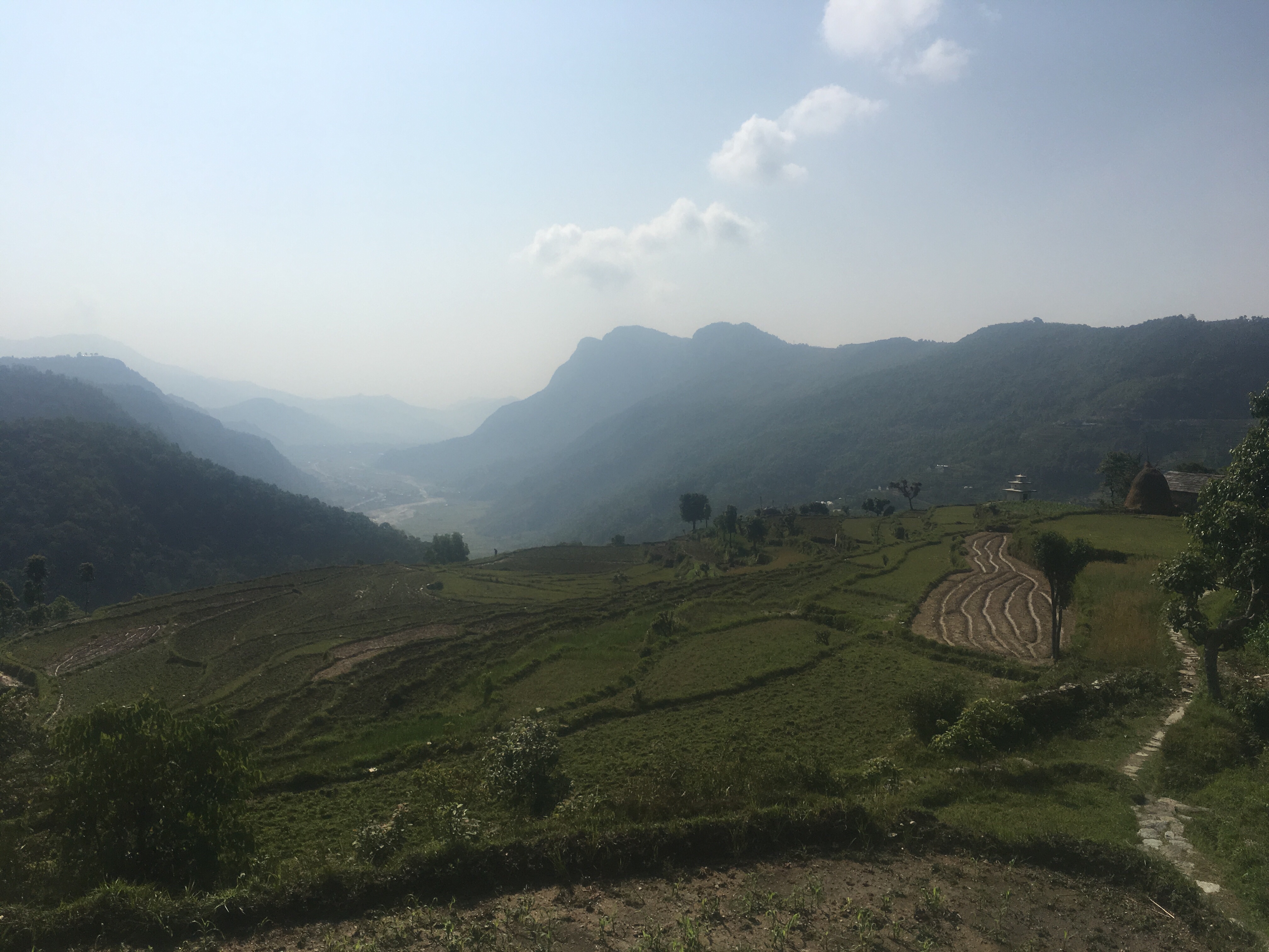
The first half of the day we were on a road and had cars, trucks, and buses still coming by. We got to Arkhet Bazaar which was a pretty busy bustling community and bought a soda and a snack. As we get into the mountains the prices of goods increase but things like lodging get cheaper. For instance: a bottle of coke that was 60 rupees in Kathmandu was 100 rupees when we got stuck in the mud yesterday and then 180 rupees at Arkhet Bazaar and going up. The lodging on the other hand goes down, I think. The room at Arughat was 800r and tonight it’s 300r but also we don’t have electricity or a bathroom in our room. No need.
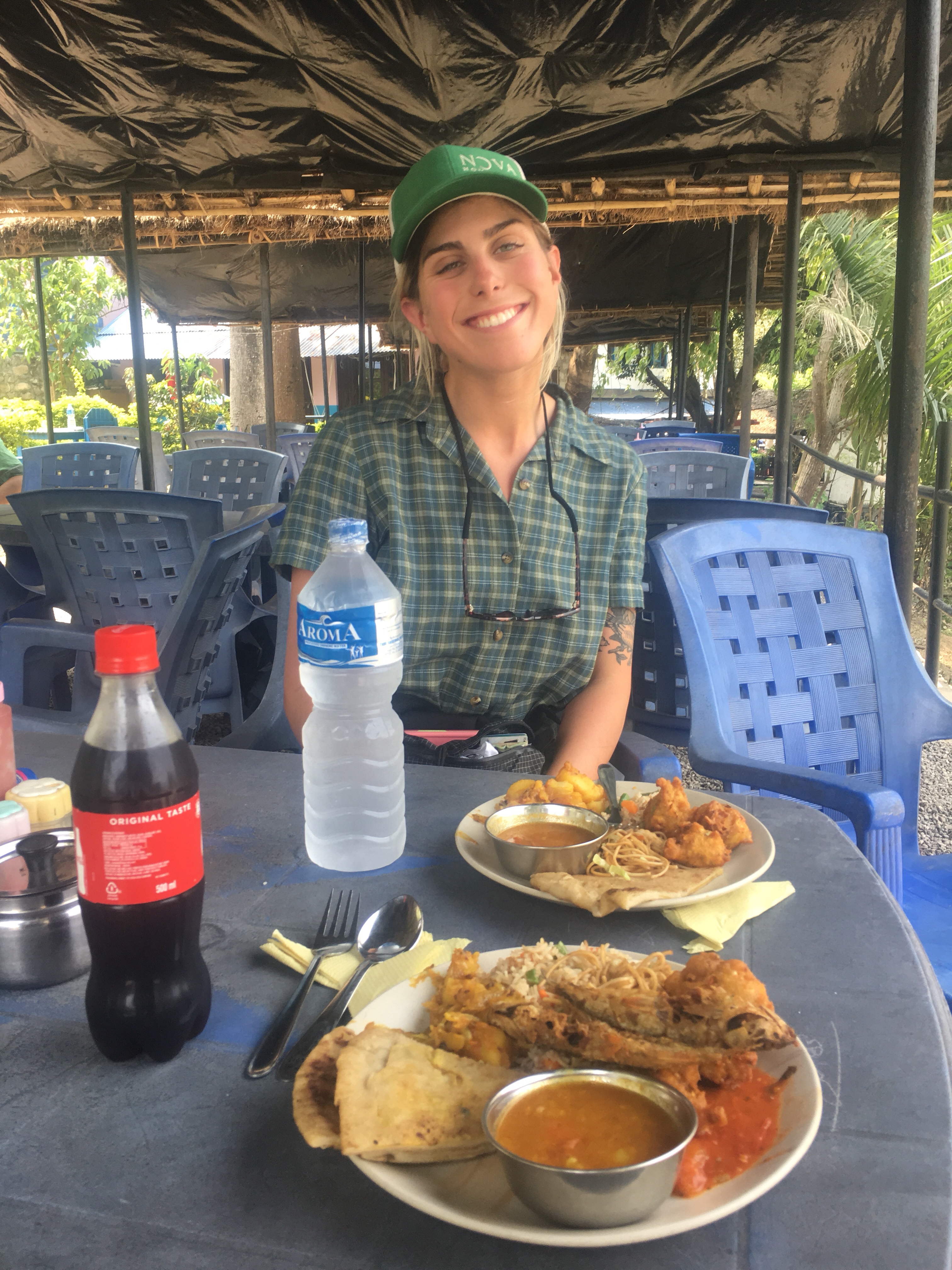
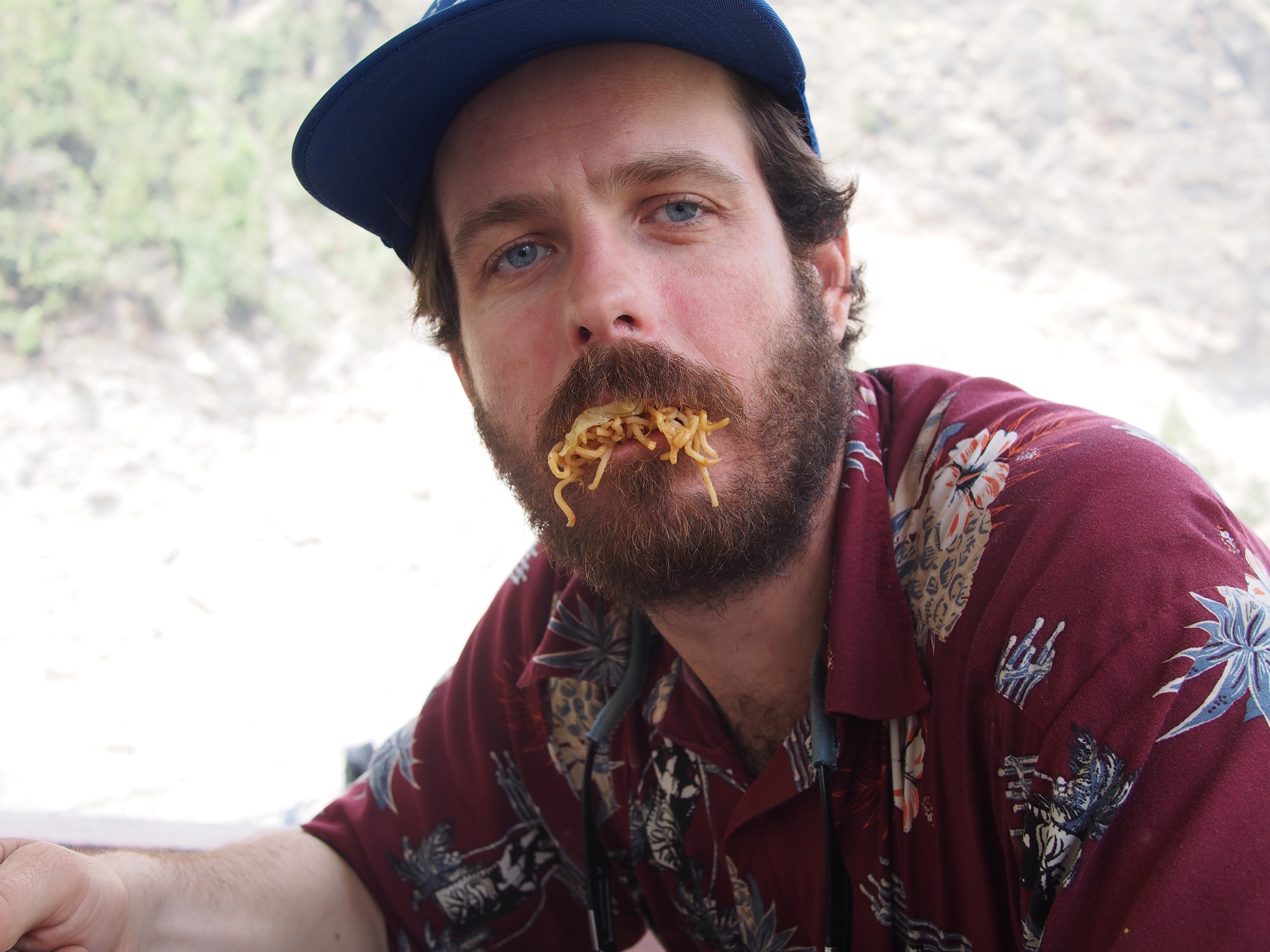
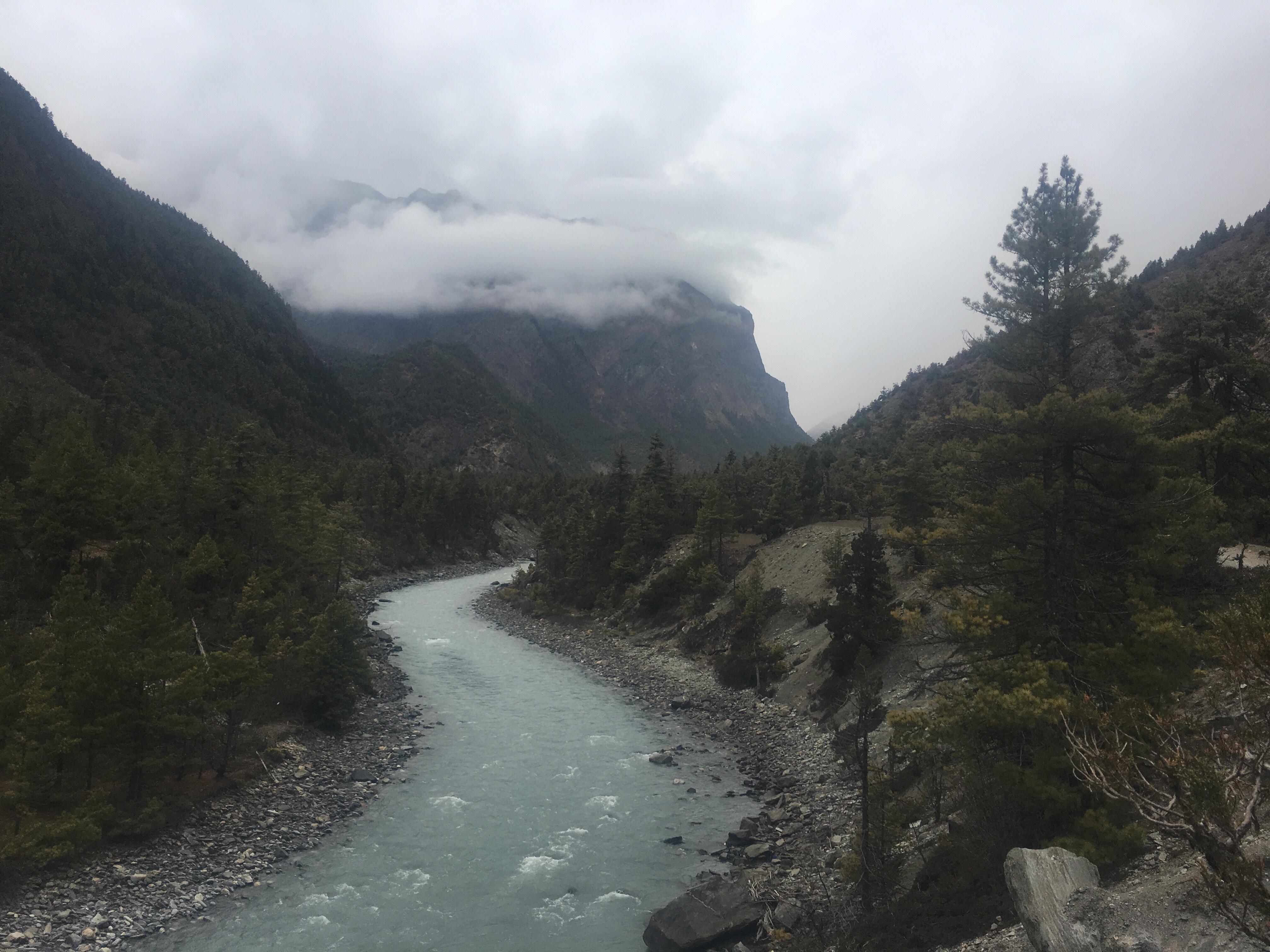
After Arkhet we walked the road for a couple more hours, it was fun and there was an awful lot going on, we even saw a wedding procession. We got to a little restaurant that overlooked a waterfall, a suspension bridge, and the river. The Buddhi Gandaki River. The same river we followed all day. For lunch we got noodles and vegetables kind of like chow mein. We learned that if we all order the same thing the meal comes out way quicker.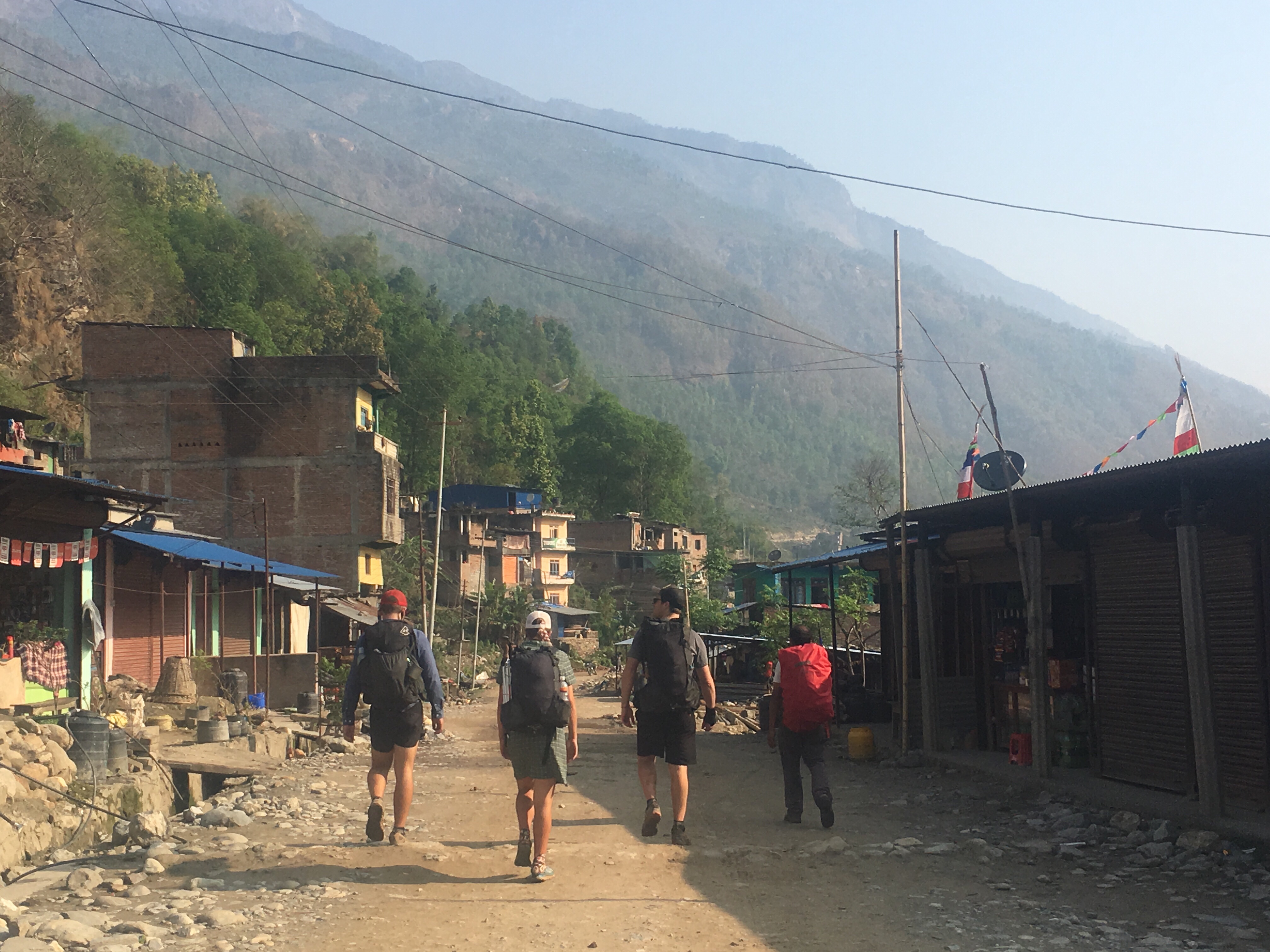
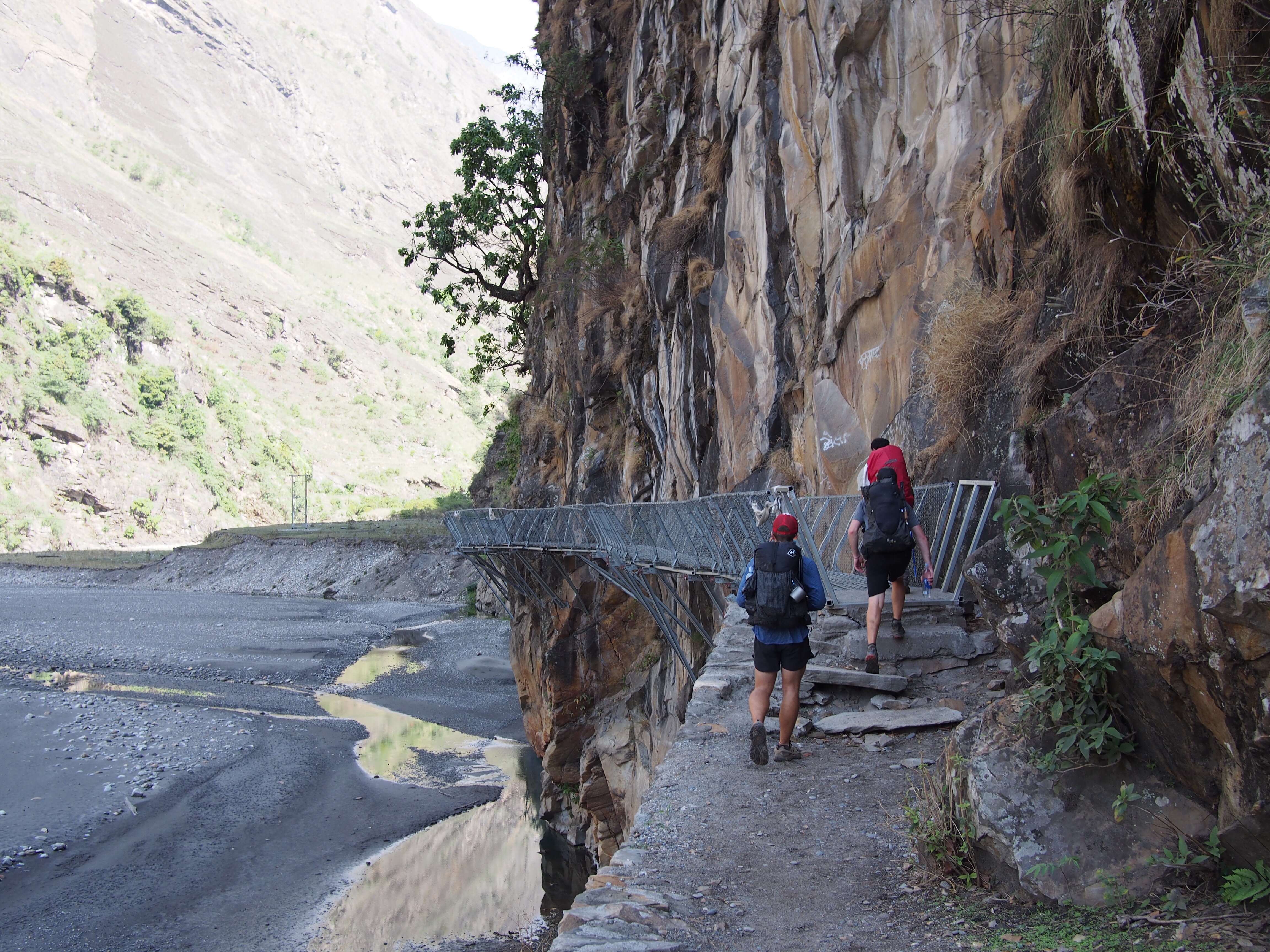
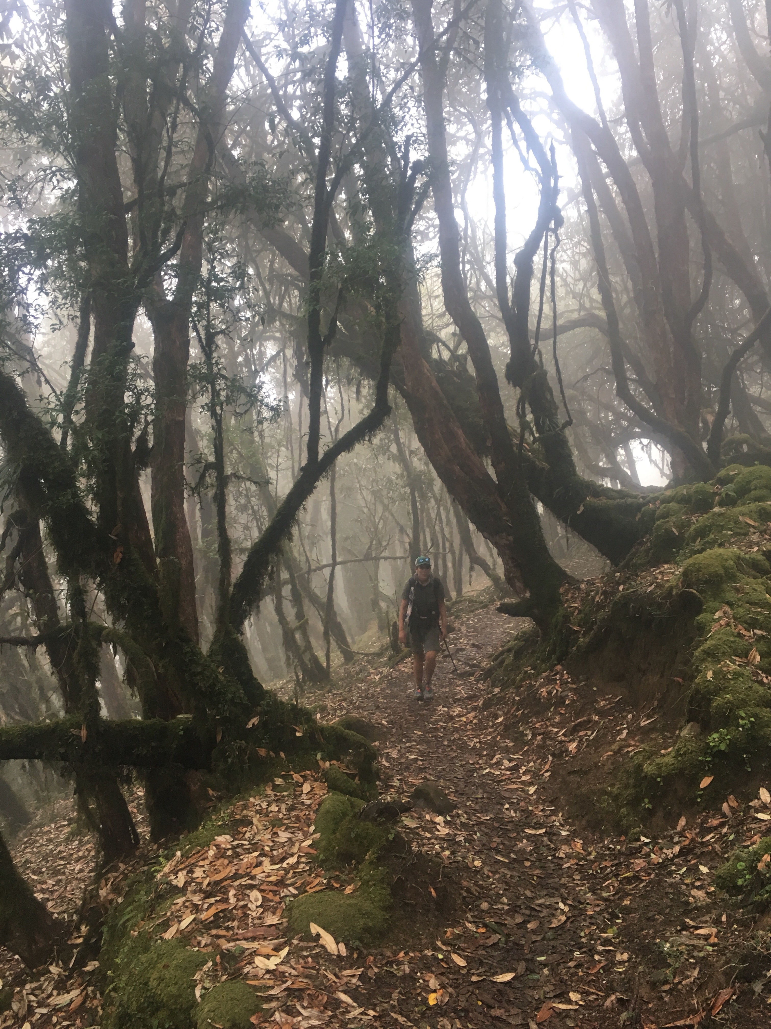
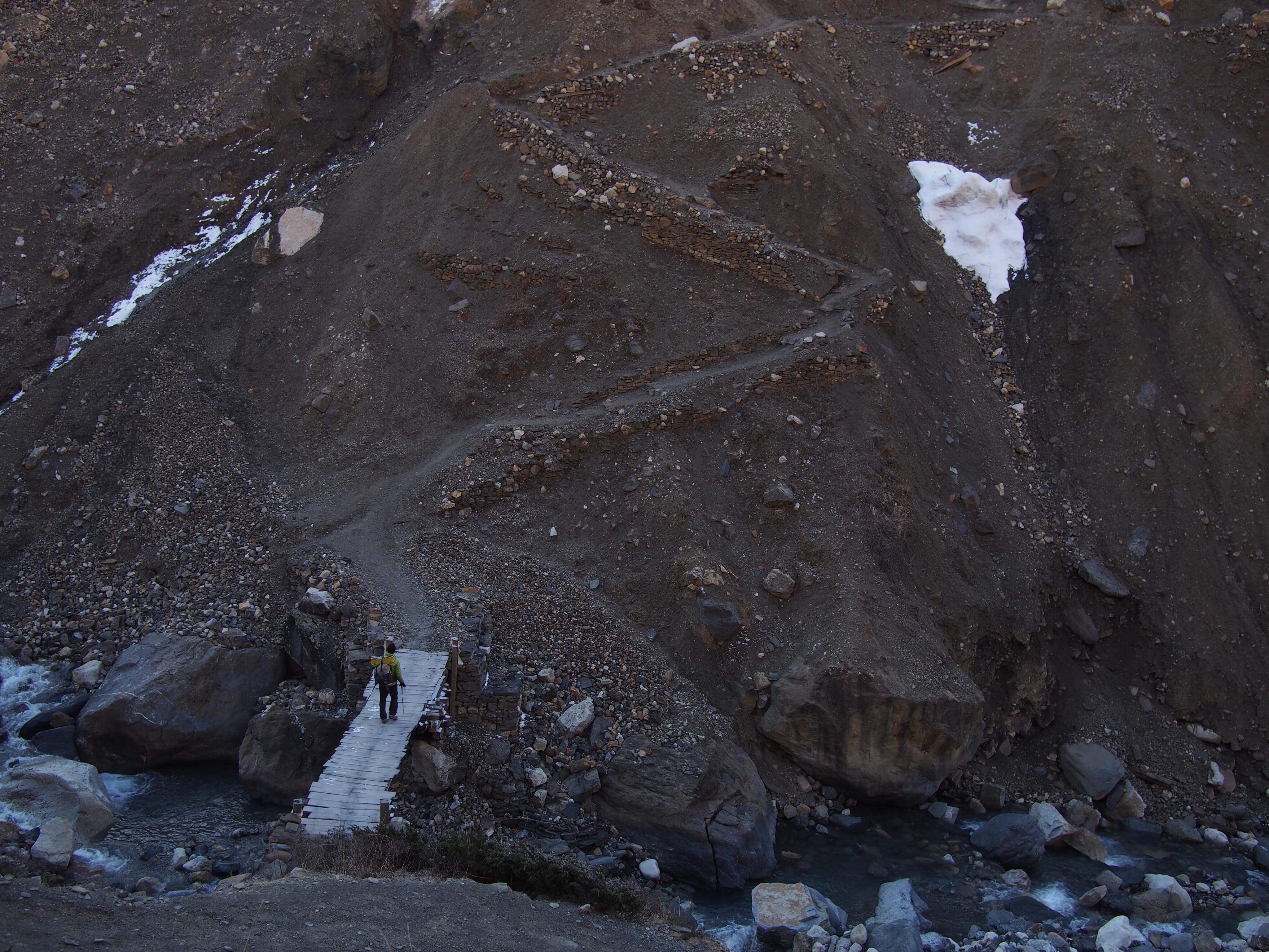
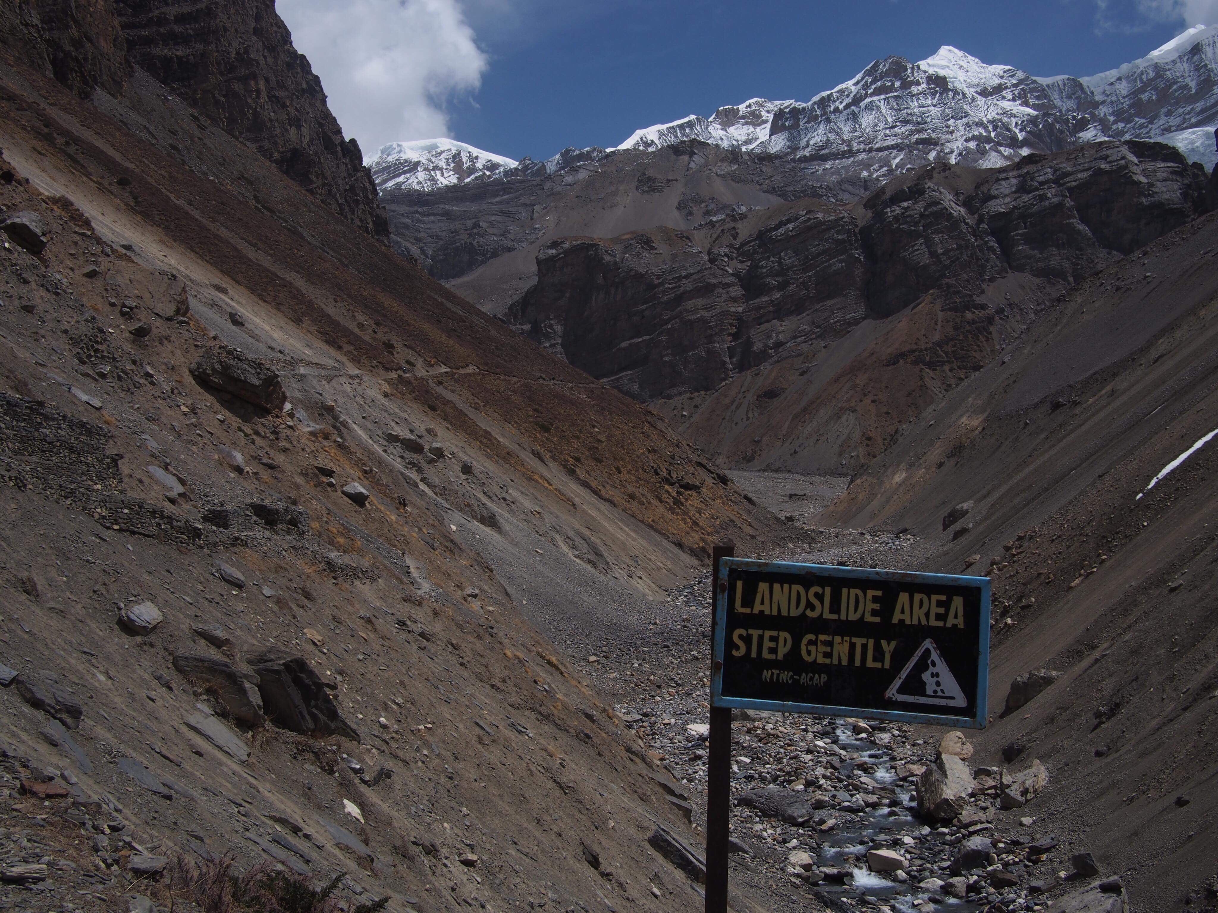
The road ended at the restaurant so we dropped down onto the trail that went right alongside the river. The valley we are walking through got steeper and the trail became narrower. Nepal suffered an earthquake 3 years ago and since then this section of trail had some serious landslides. Part of the trail was pretty dicey but I’ve got faith in Gopal and he was pretty confident we’d get right through. I guess most of the other trekkers took a long cut way out of the way but we did fine.
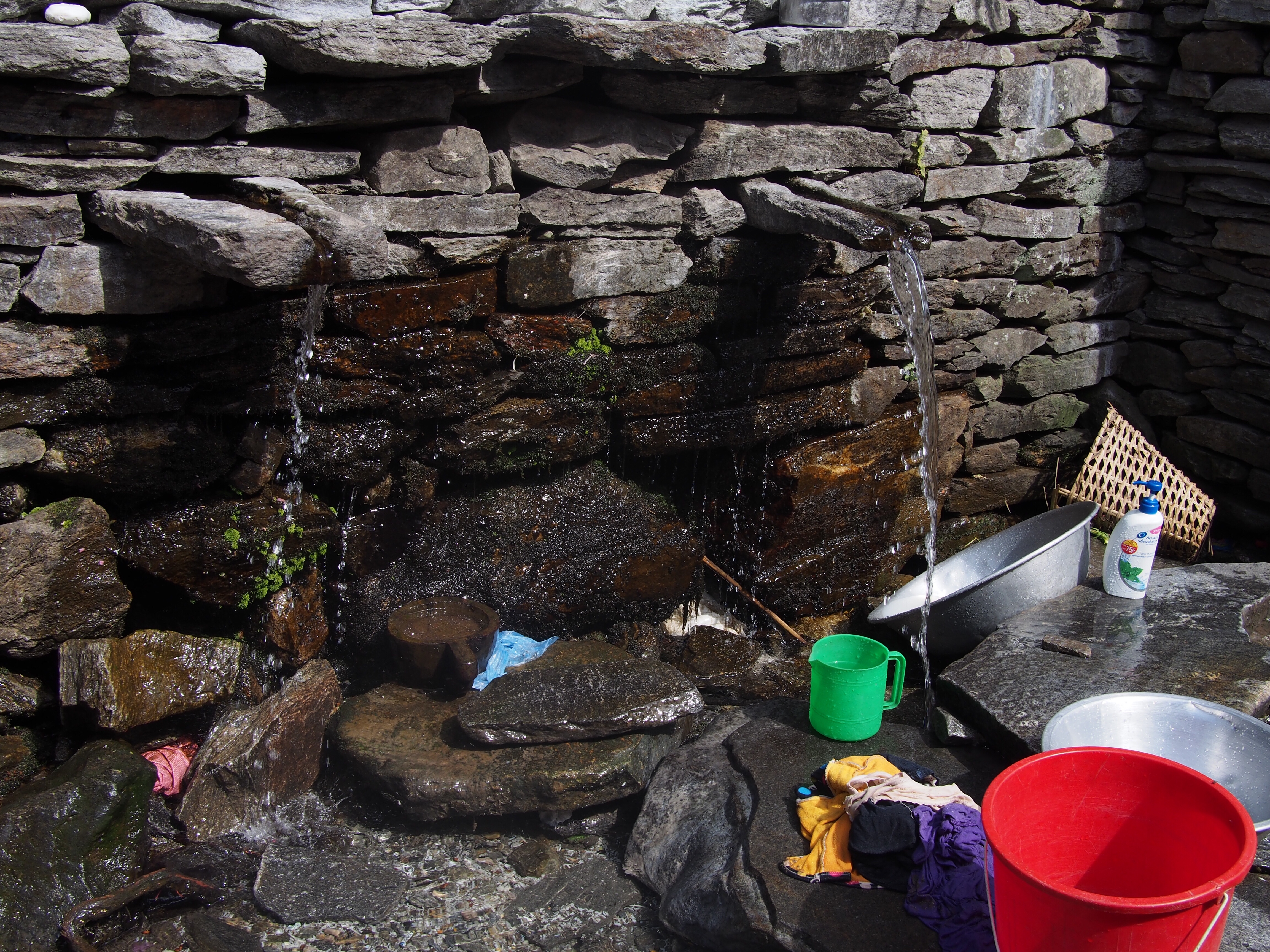
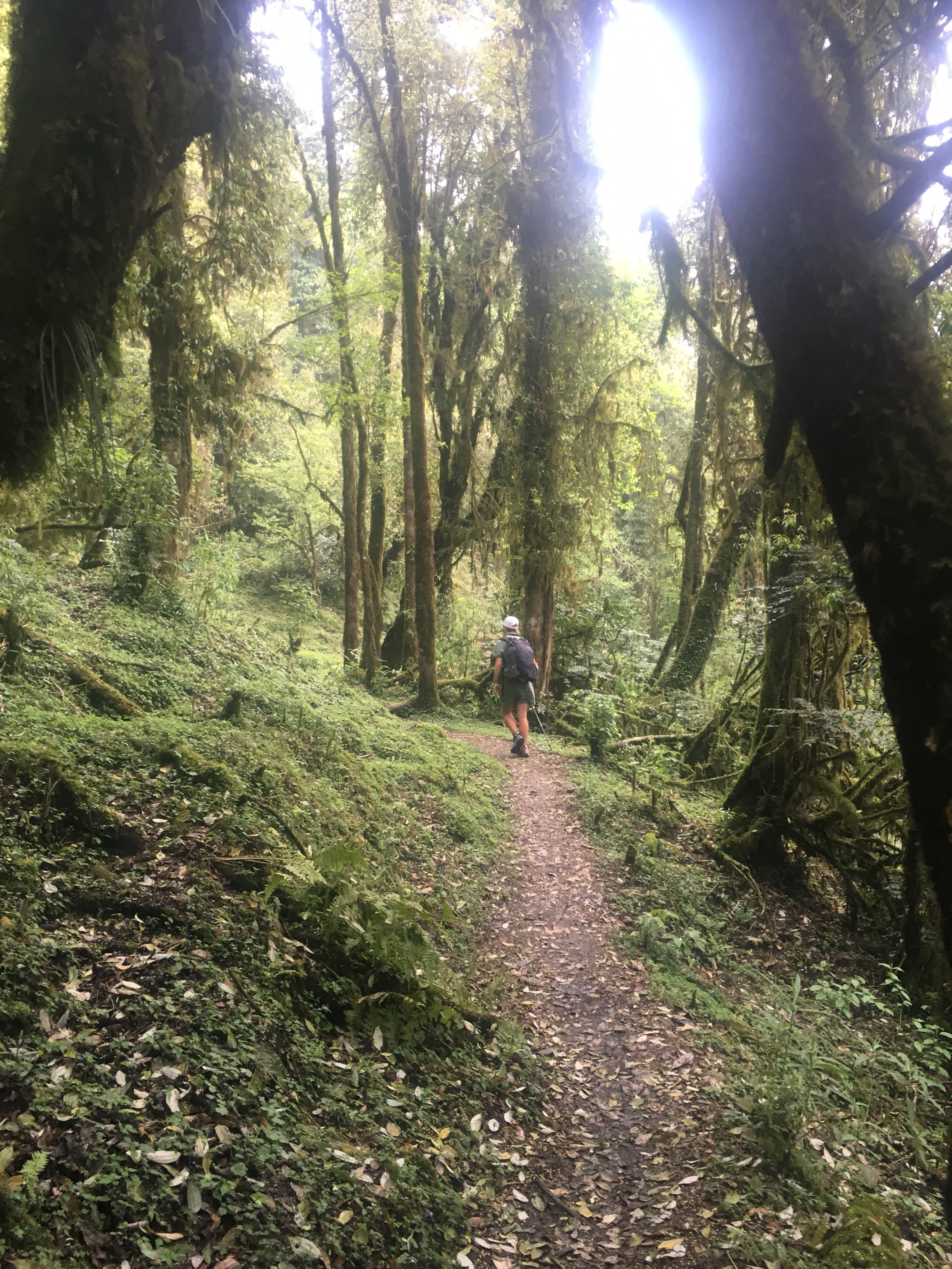
The trails here are used everyday by the people living here going village to village and just doing their thing. It’s amazing to me how some people live their lives. Later on this afternoon, after we got through the landslide section, we got to Tatopani (tato: hot, pani: water) and cleaned up a little, these weren’t ideal for soaking but good for rinsing quick in the water coming out of the spring.
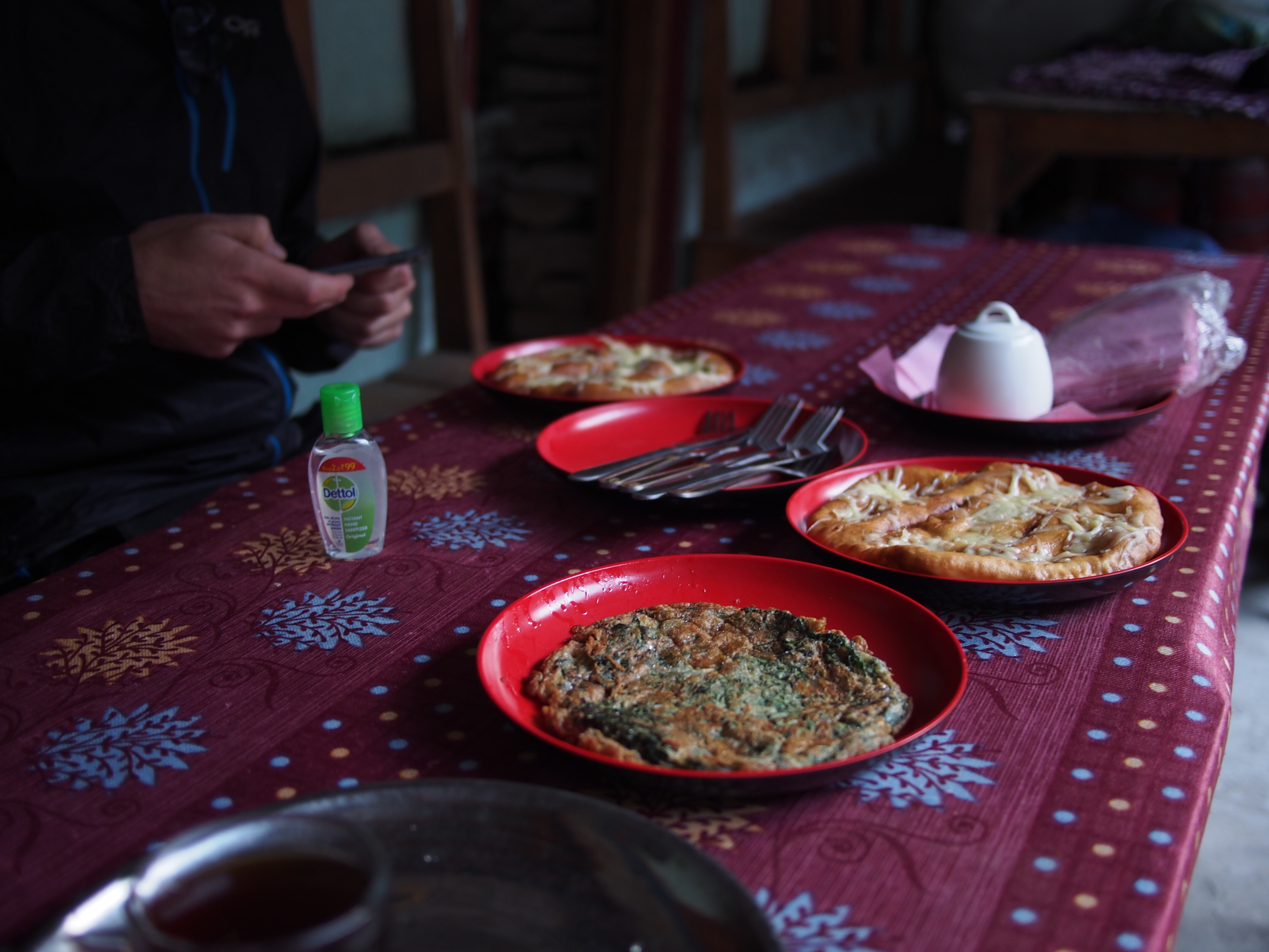
An hour later and we got to Dobhan, our home for the night. Dobhan is a tiny little village and we’re the only trekkers at this guest house. For supper I had dalbhat for the first time, a traditional Nepalese dish, and loved it. Dalbhat is lentil stew and rice, paired with curried vegetables and some other pickled stuff. It’s a staple in people’s diets up here. Gopal eats it twice a day everyday and I can see why. I think we’ll just eat this every night and I’m cool with that.
Day 2
Lokpa
Elev. 7200 feet
Today was awesome. We ate breakfast and walked out of Dobhan around 7 this morning.
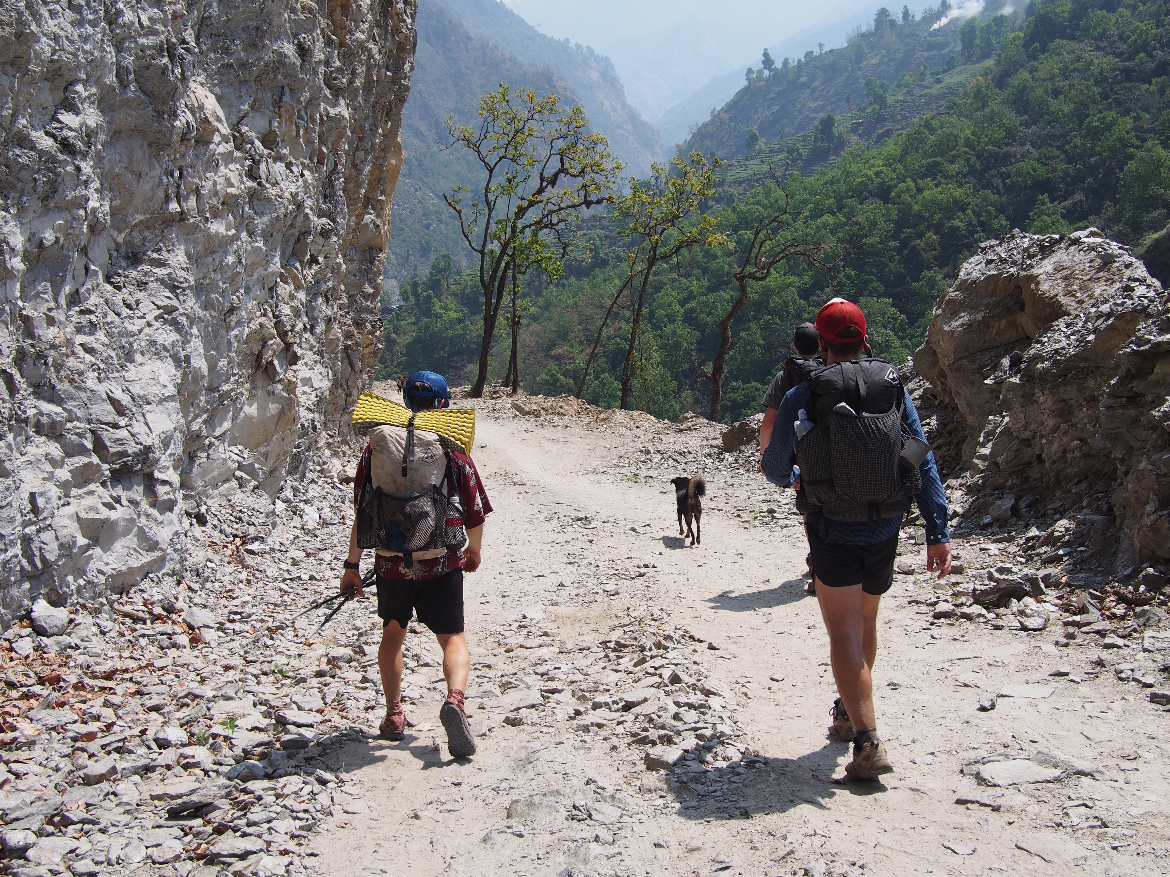
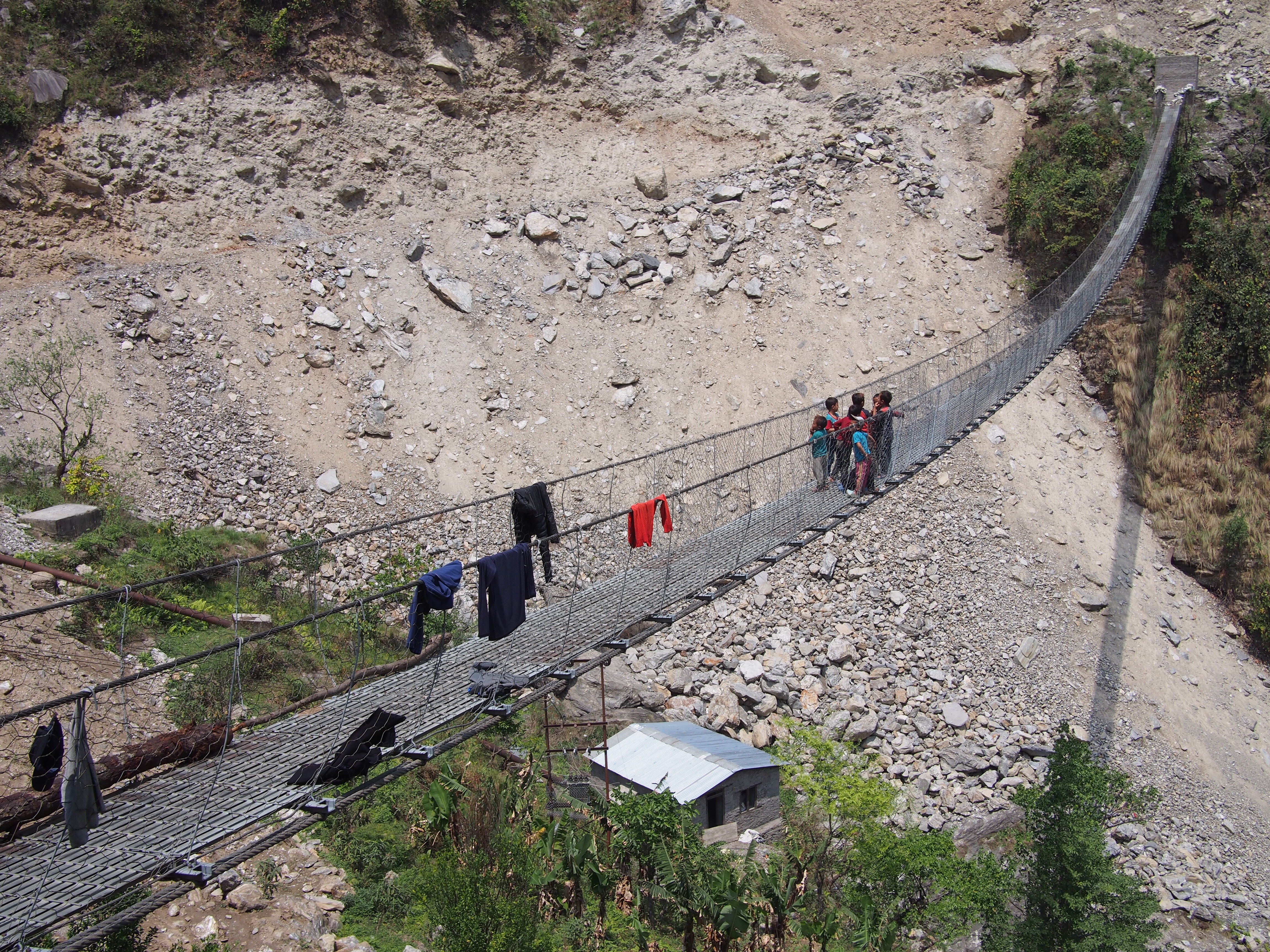
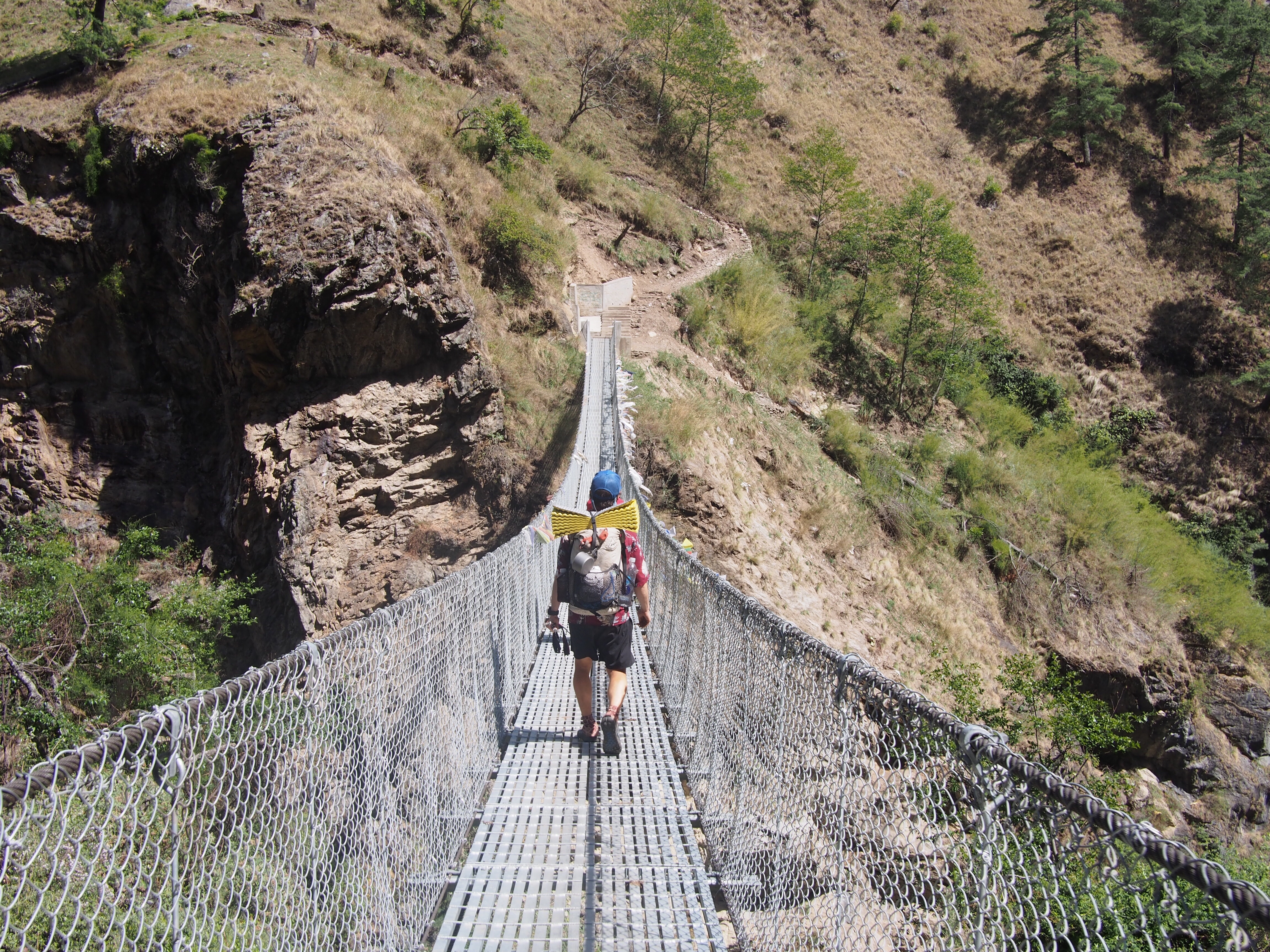
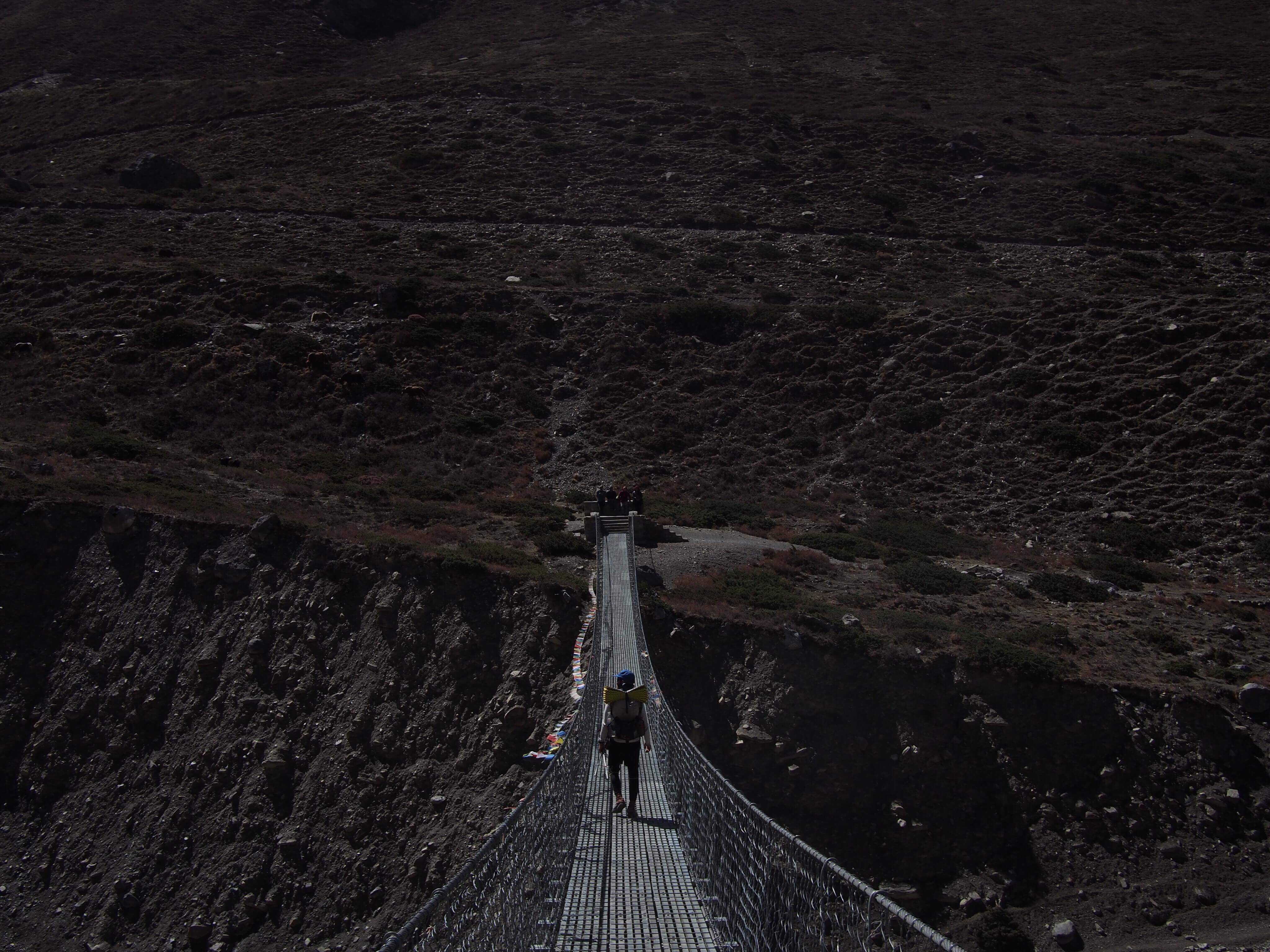
The trail climbed for an hour or so before passing through a village right next to the river where they were drying out some pork in a smokehouse and a little girl was throwing rocks at a dog , pretty standard. Right after that there was a bridge fixed to the side of the rock wall above the river for about a tenth of a mile. That was a first, most of the bridges we go over are these big wobbly suspension bridges spanning the river.
Shortly after the fixed bridge we got to Jagat and this is where we officially enter the Manaslu region. Jagat is where we need to give our permits to the police. Actually we didn’t do any of that, Gopal was in charge of talking to the police. Another couple hours after Jagat we got to the village of Phimel for lunch, this was pretty high up above the river and had some incredible views.
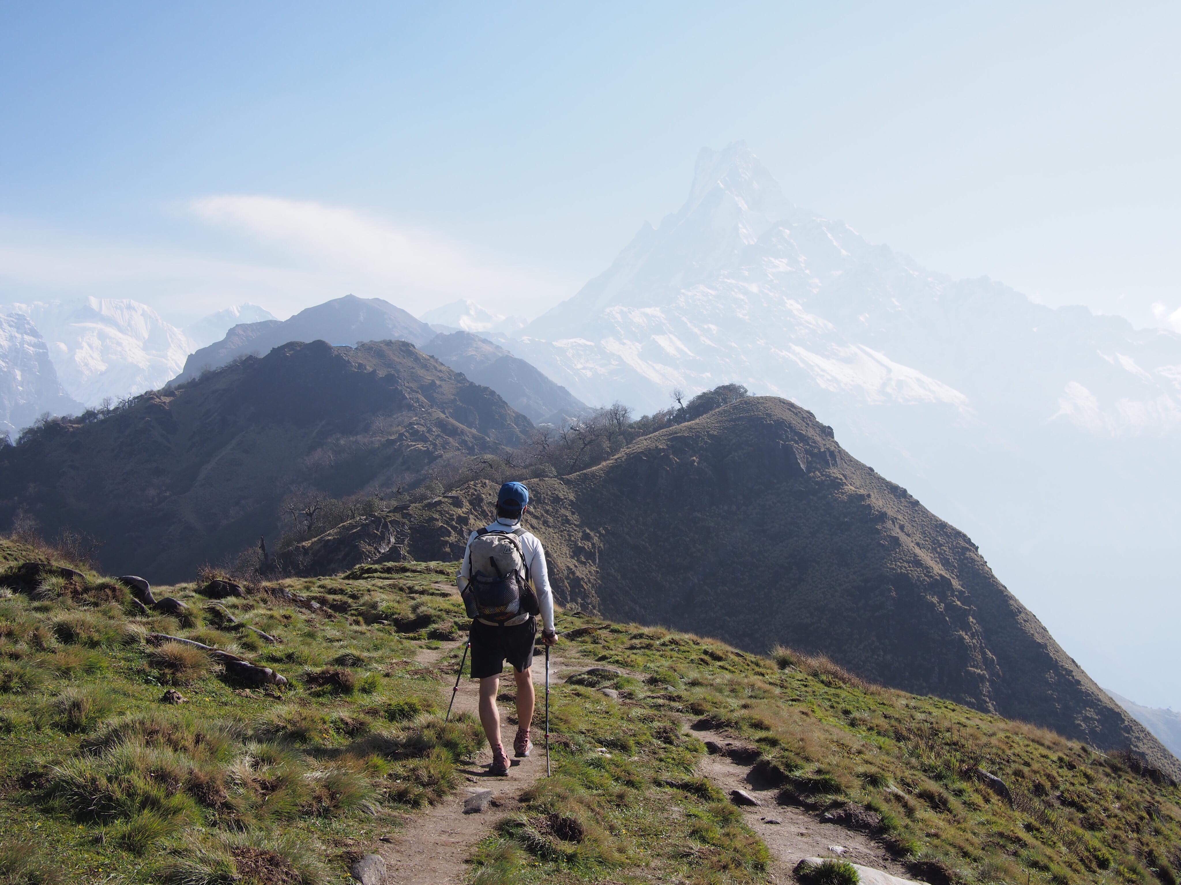
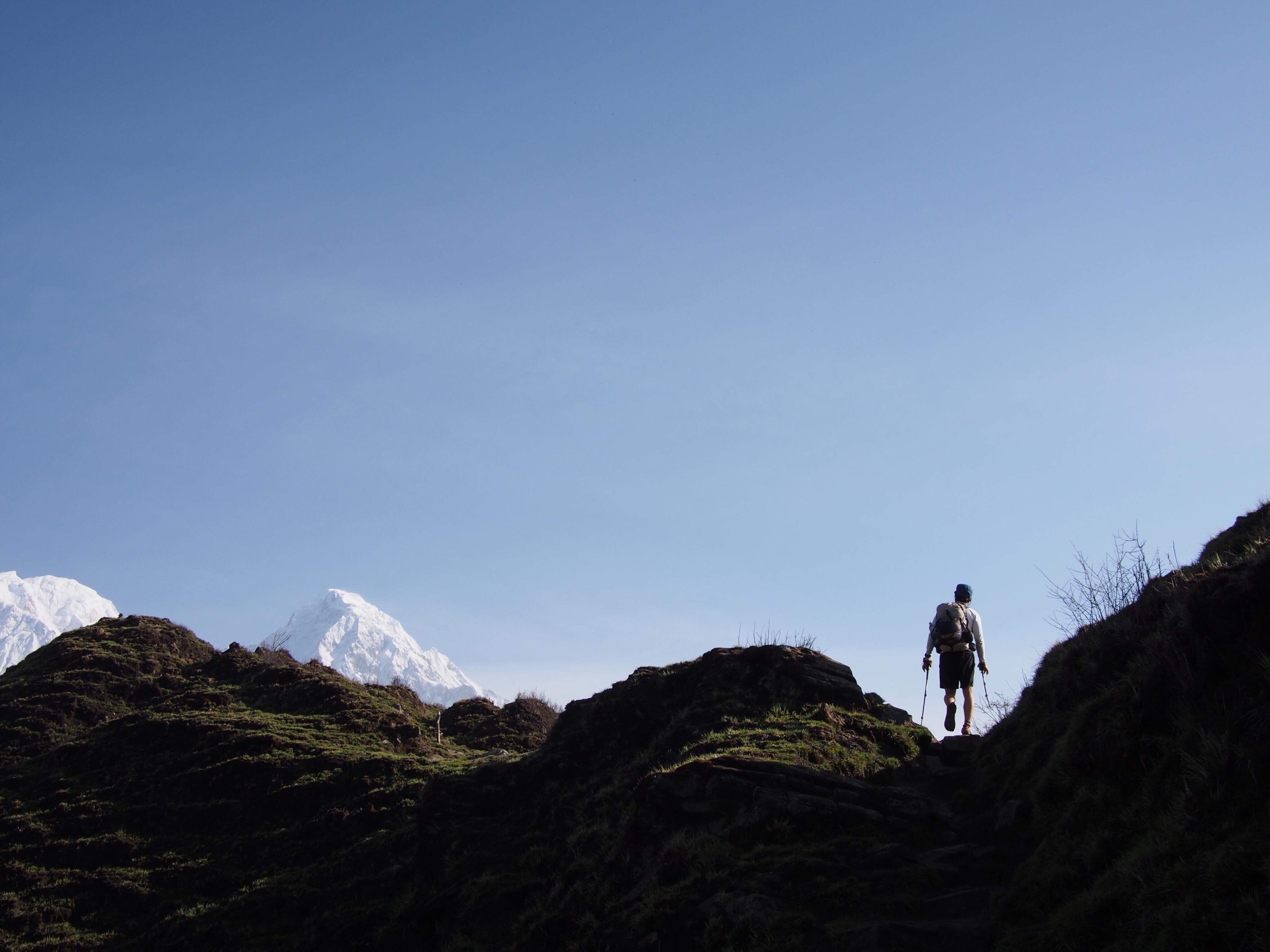
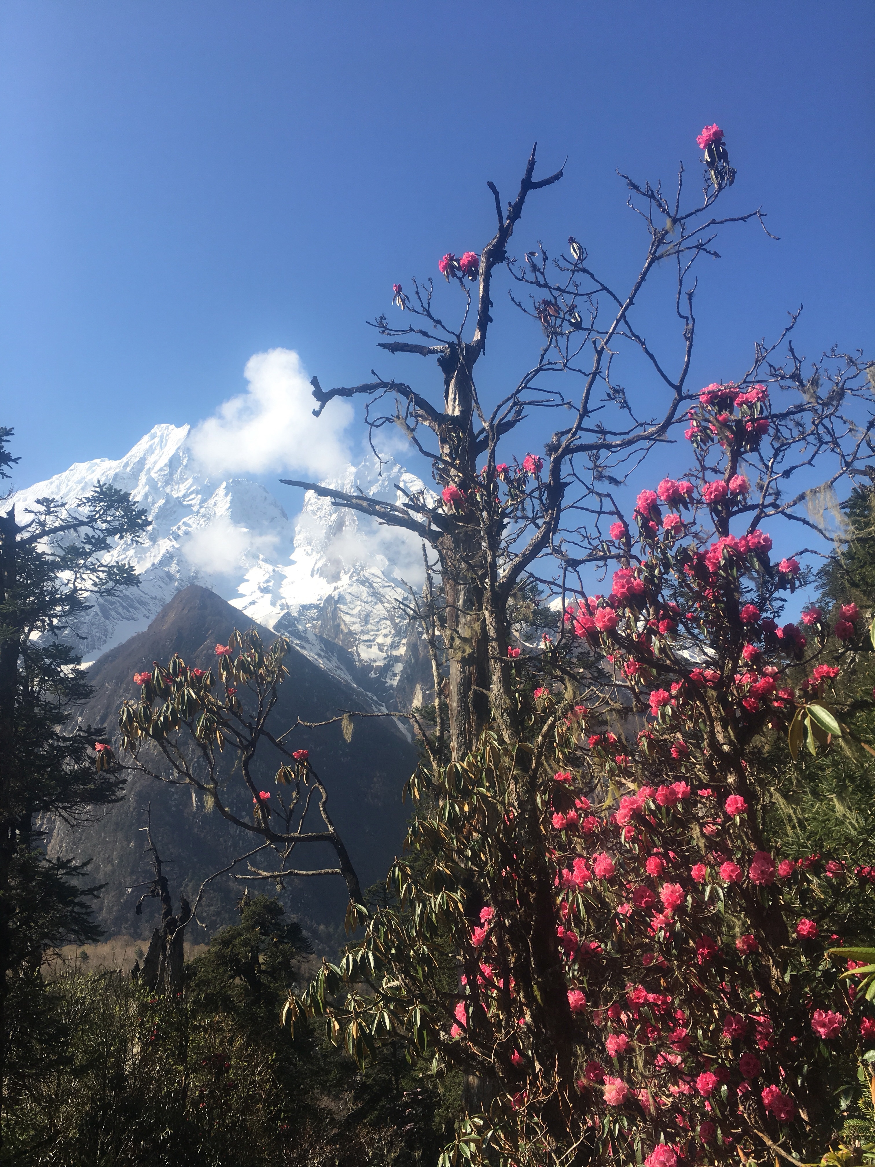
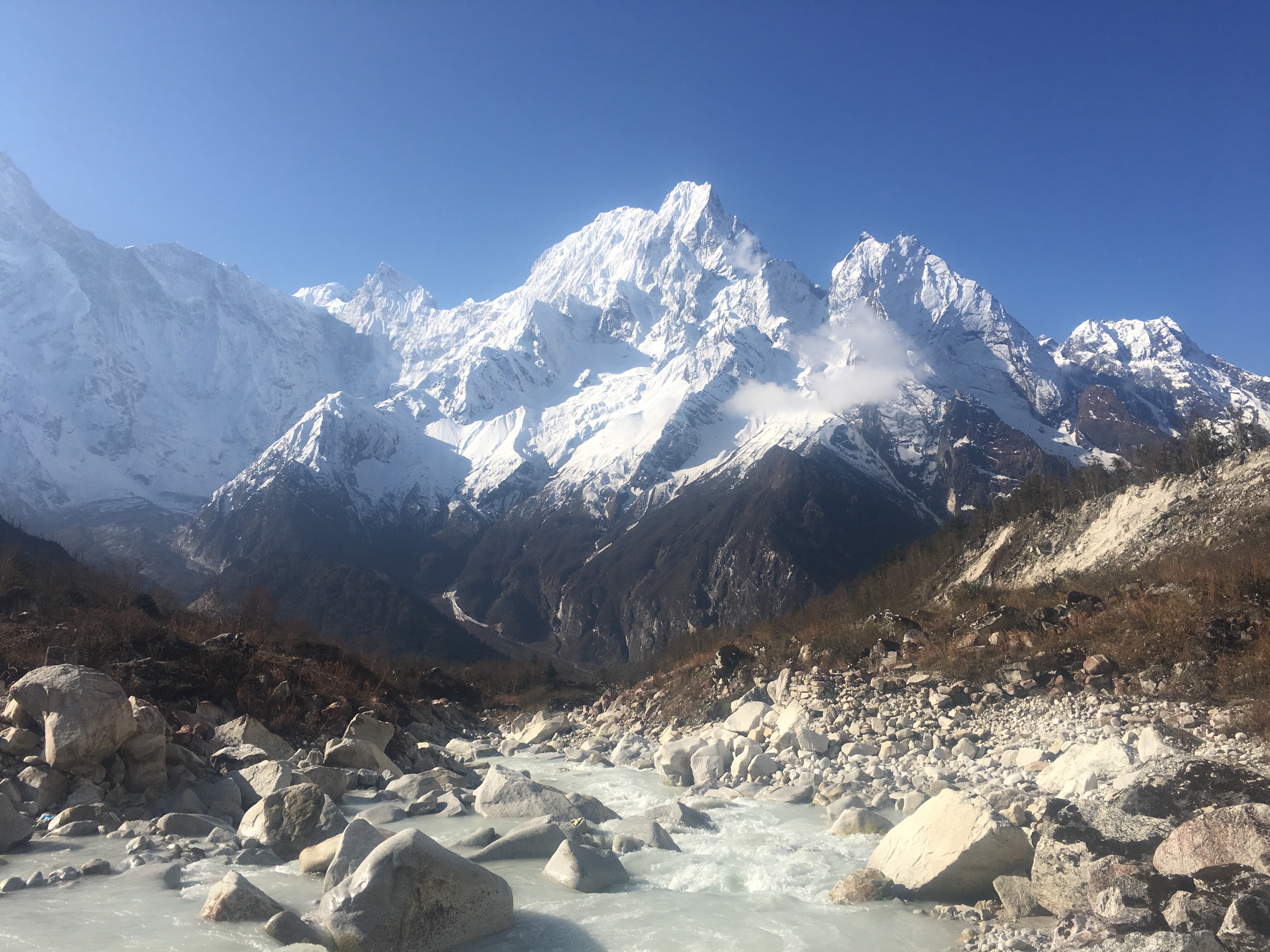
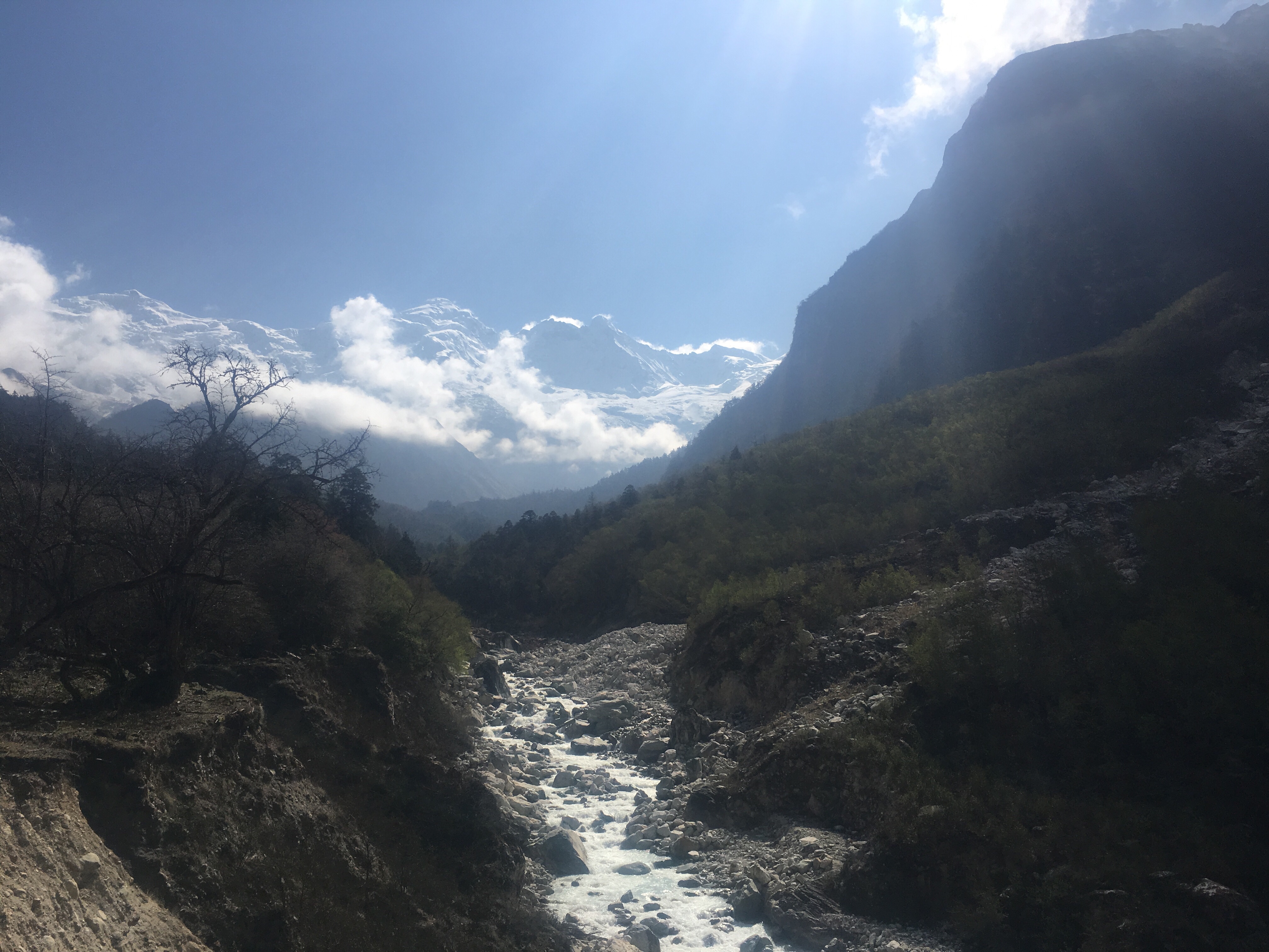
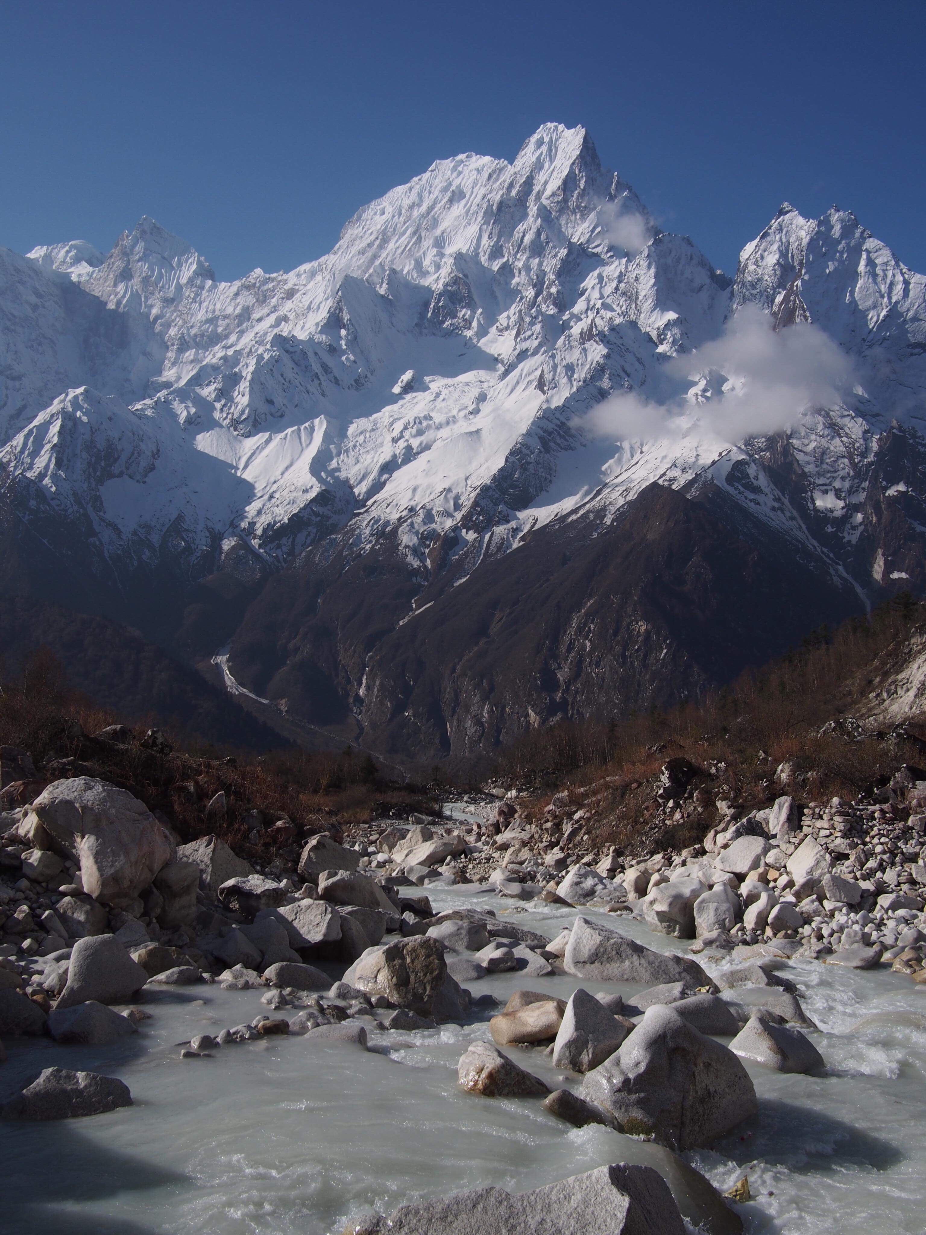
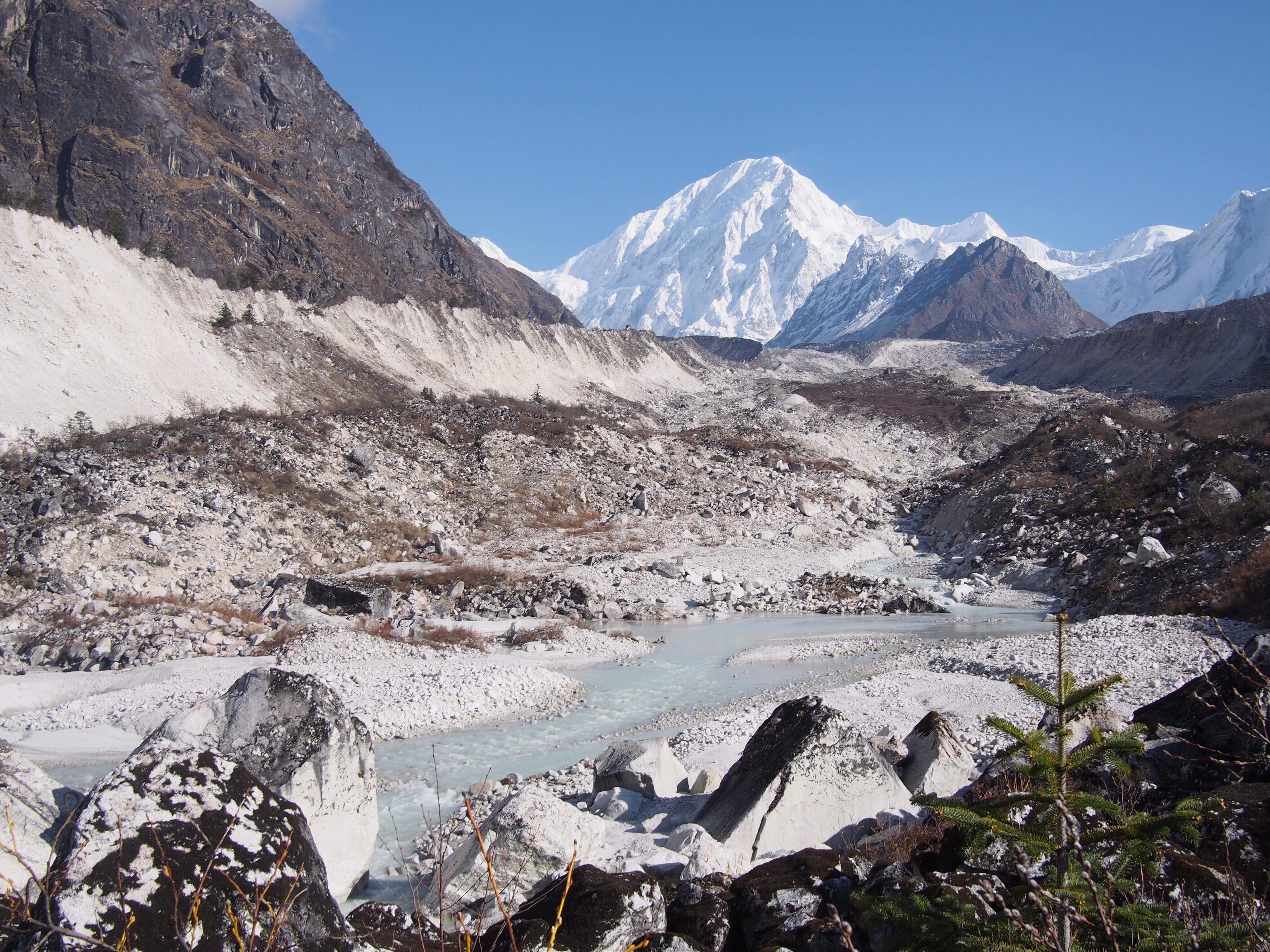
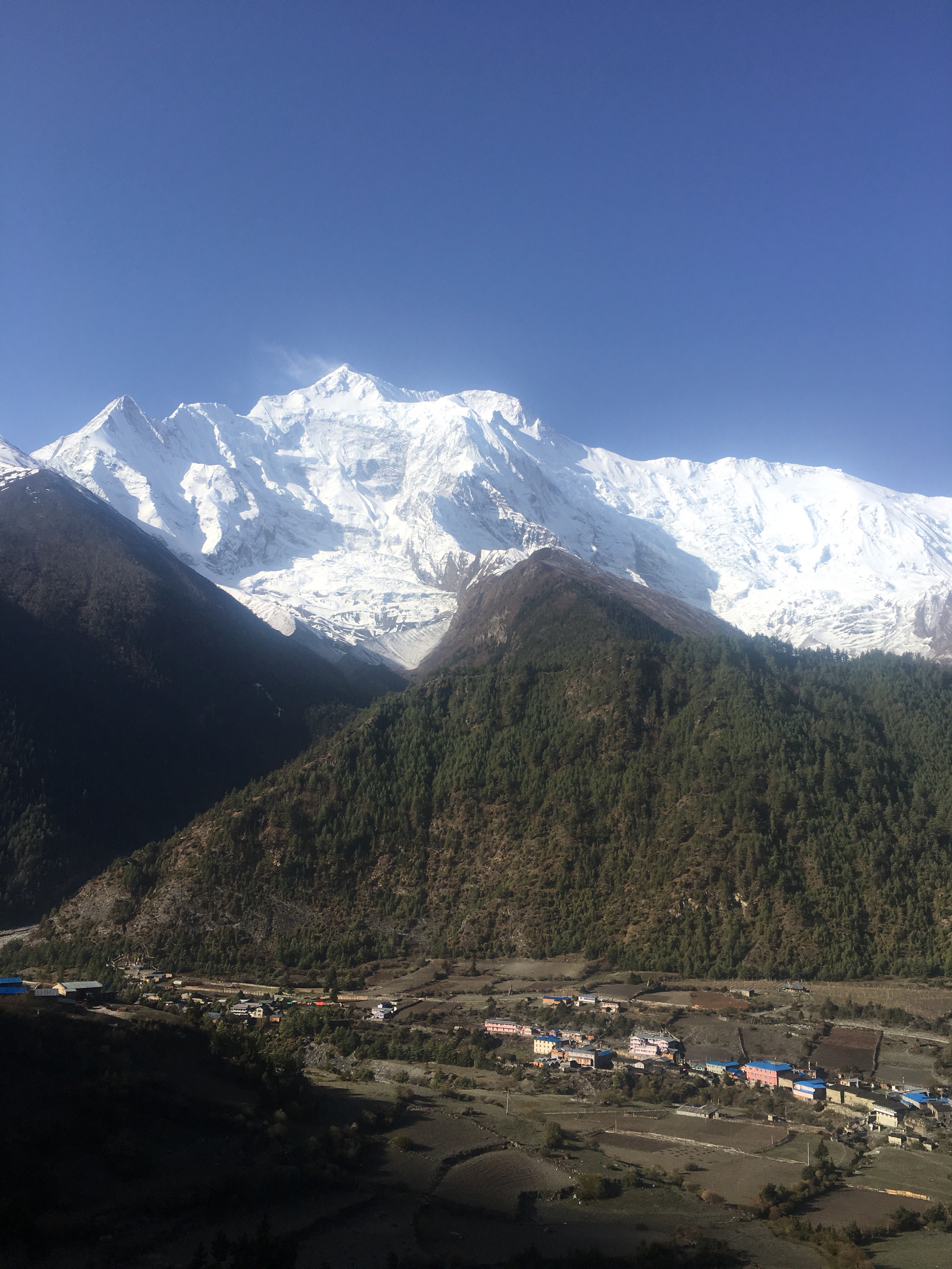
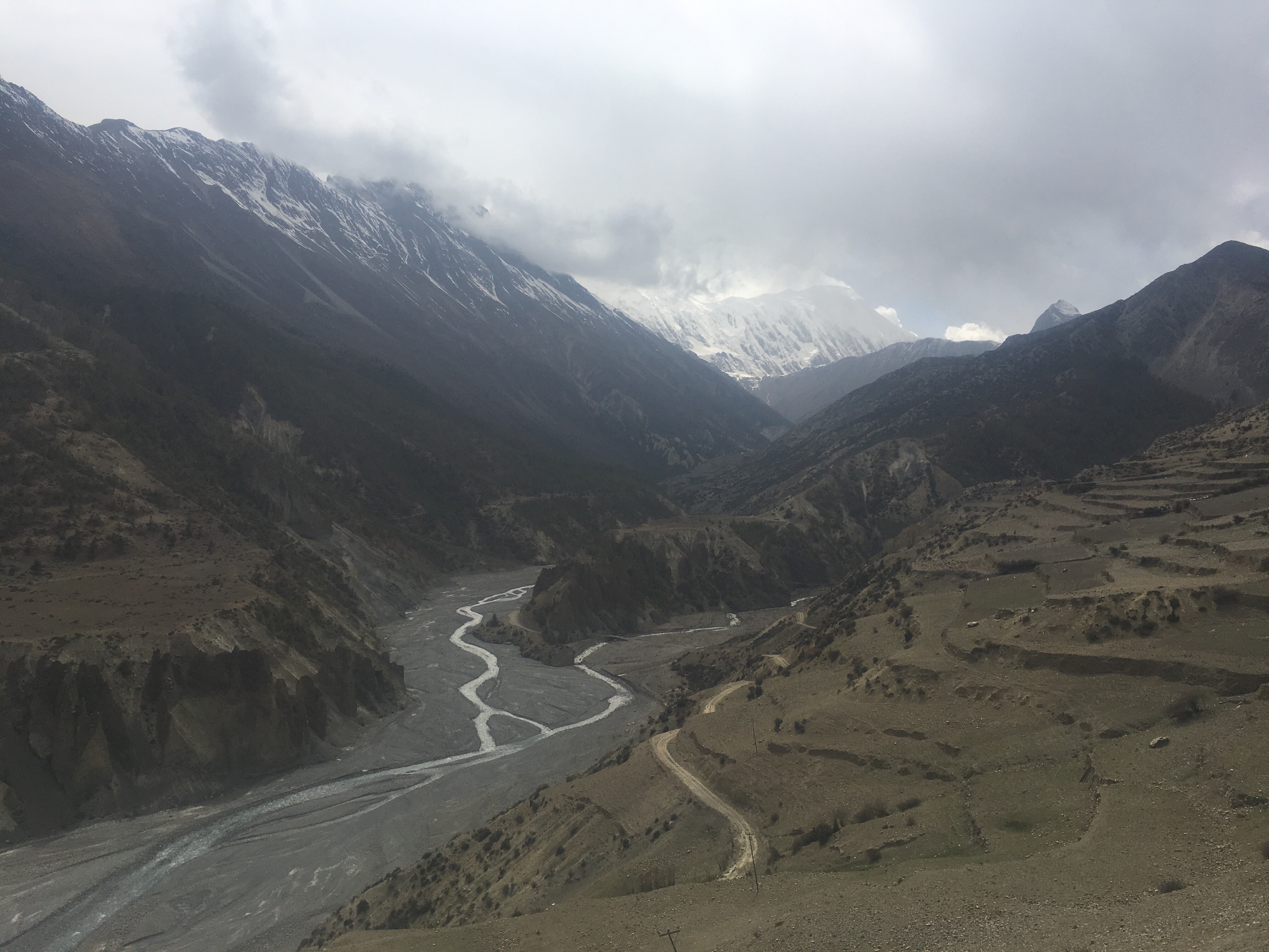
For the first time we could start seeing some big beefy mountains. There was a view of a 7000 meter peak that was the biggest mountain I’ve ever seen in my life to this point. Nepal uses the metric system and they also use hour as a unit of measurement for distance. Instead of miles or kilometers everything is either an hour here or two hours there. So a couple hours after Phimel we got to the confluence of the Buddhi Gandaki river and the Siyar Kohla river where we took a right to go out to Tsum Valley. This is an out and back route off of the Manaslu Circuit that we chose to add on to our trip to spend a couple days seeing Tsum Valley.

After we turned the trail ziggy ziggy’d (Gopal’s term for switchbacks) up for awhile and we got to the little village of Lokpa where we are spending the night. I got dal bhat again and I learned a couple things about it: first of all it’s not the same from place to place, I mean it’s pretty much the same basic ingredients but they are always a little different, second of all it’s customary that dalbhat is free refills as much as you want. This is a game changer. I’m probably eating dal bhat for dinner the rest of my time here.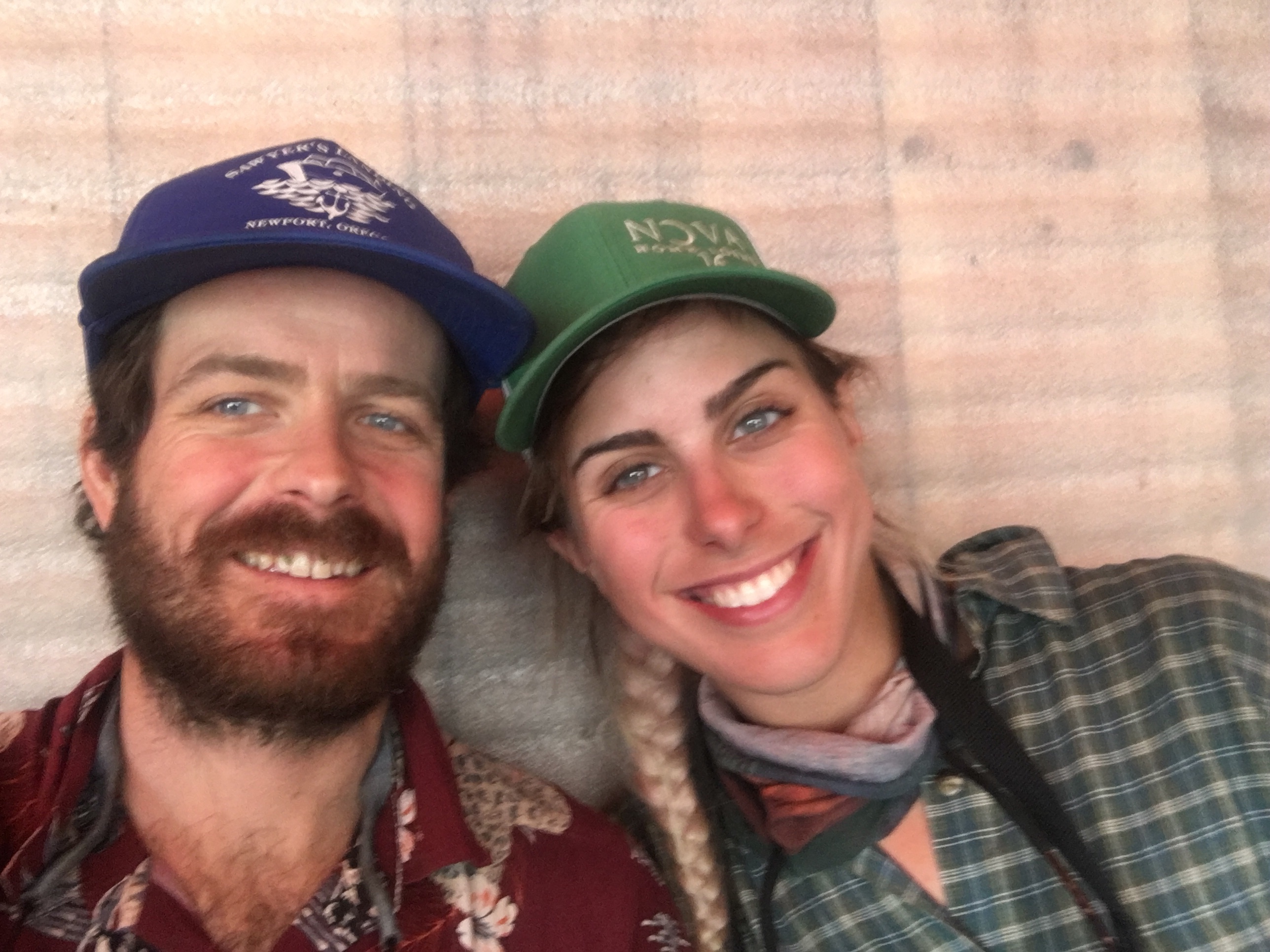
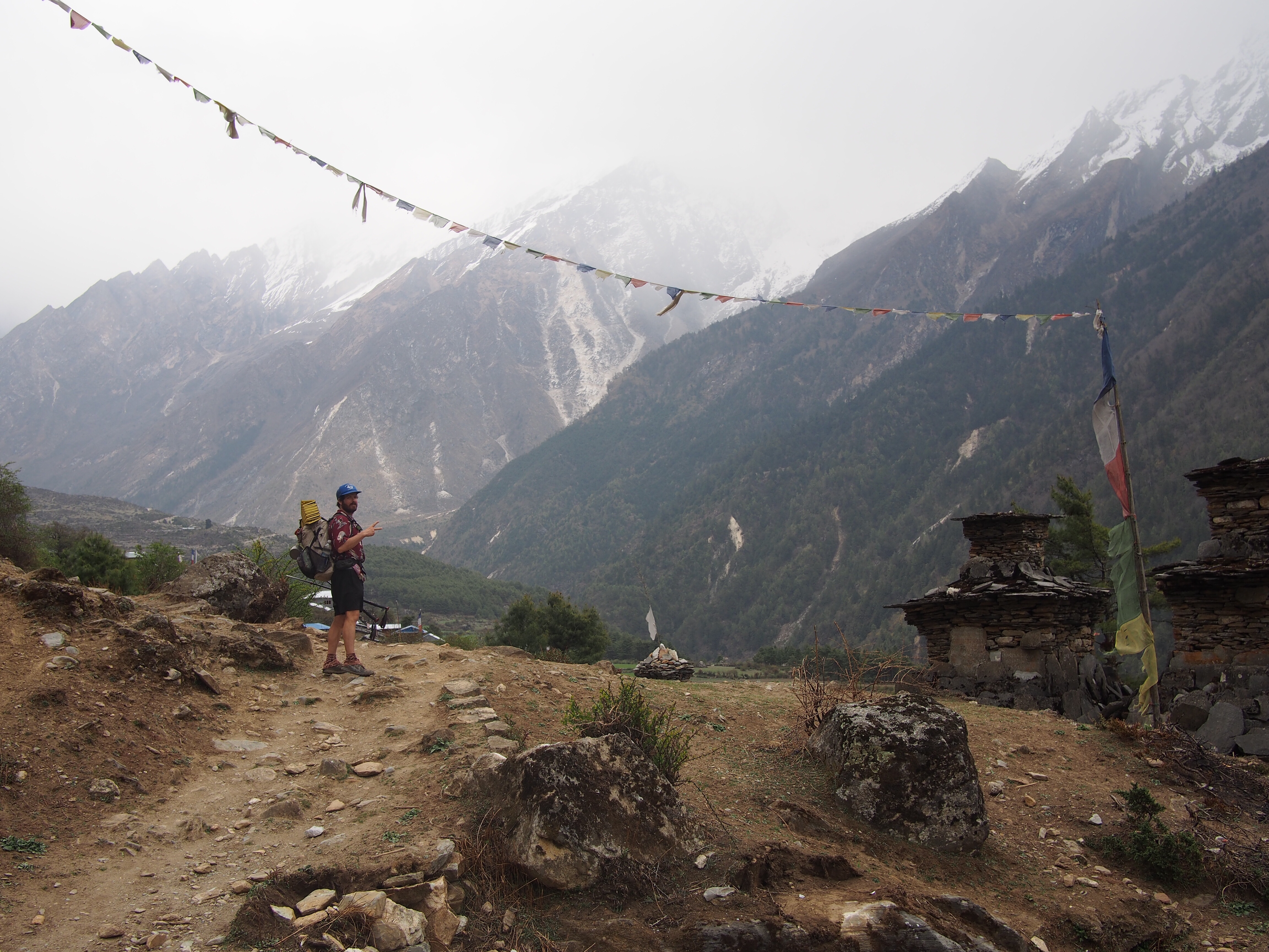
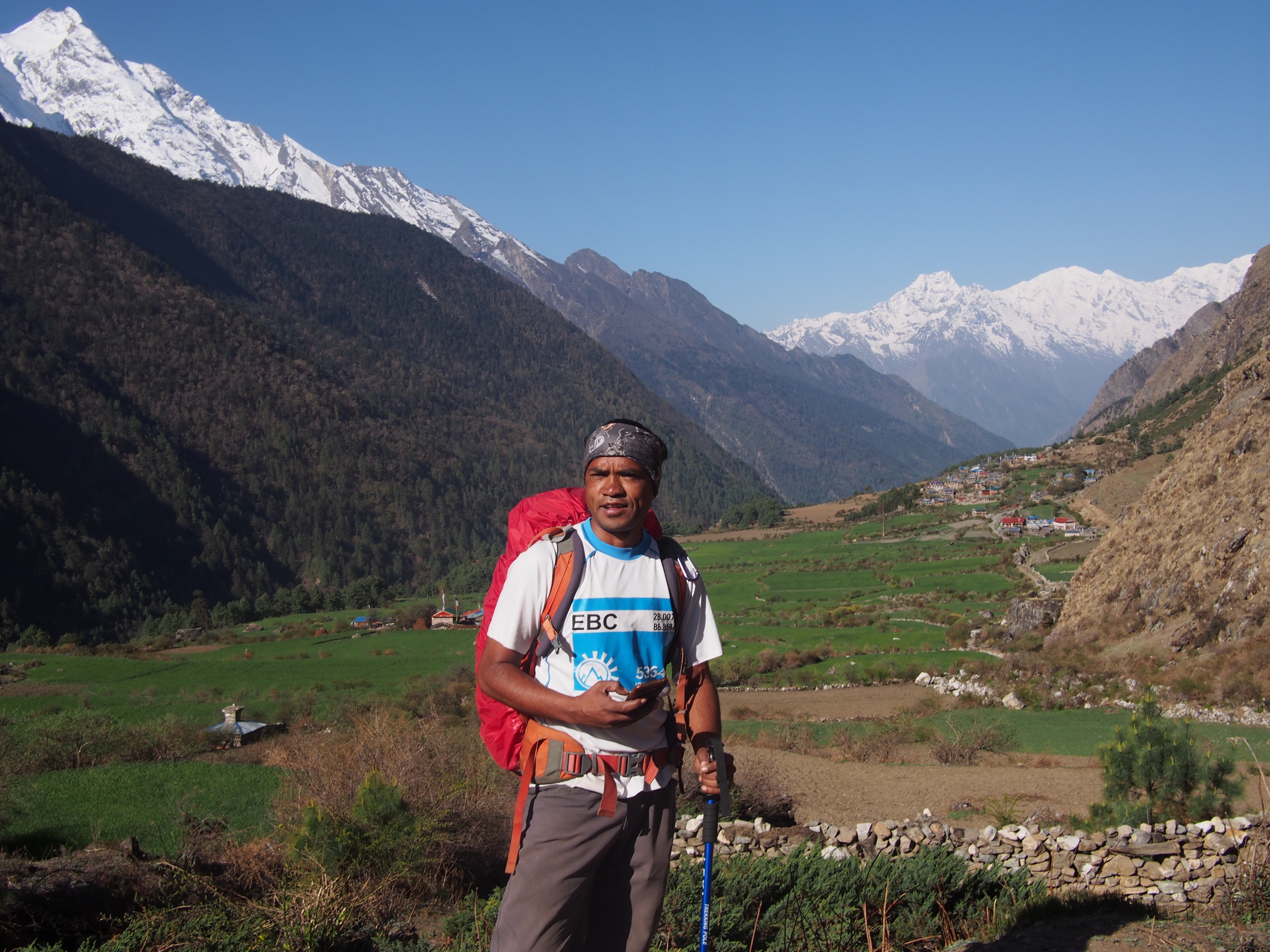
While we were talking about trail names Gopal told us he also has a trail name: Mountain Tiger. I’ll probably be referring to him in this blog as Mountain Tiger from now on. I didn’t know why he didn’t tell us right away but I guess he’s more well known in the Everest region and they all call him Mountain Tiger over there. our fearless leader, Mountain Tiger
Day 3
Chhokar Paro
Elev. 9975 feet
WARNING: This post gets a little gross
Well maybe I won’t be eating Dal Bhat every night for the rest of this hike, but I’ll get back to that.
Last night I saw the biggest spider of my entire life and it was in my room. QB was coming in and just about to latch the door when this monster appeared right next to the latch. Now neither of us would consider ourselves spider scared (if you read this blog you know that I’m really afraid of snakes) but after we got visited by this guy we both were definitely scared. Mountain Tiger said it was not venomous but that still didn’t make me want to share a room with it, the thing was as big as my palm.
Shortly after the spider incident I fell asleep then woke up a couple hours later with some horrible nausea. I was up the rest of the night rolling around with a belly ache. Still had to hike though and the trail was tough, lots and lots of climbing.

I felt a little better at first but around noontime when we got to Chumling I didn’t think I could go on. I told Mountain Tiger I was struggling and he encouraged me to go to the toilet and make myself throw up. Now the toilets here are squat toilets. Basically just a little outhouse with a hole in the ground outlined with a piece of porcelain. Throwing up in one of these was quite an experience and not a pleasant one. I did feel a lot better however and was able to eat some garlic soup on Gopal’s suggestion.
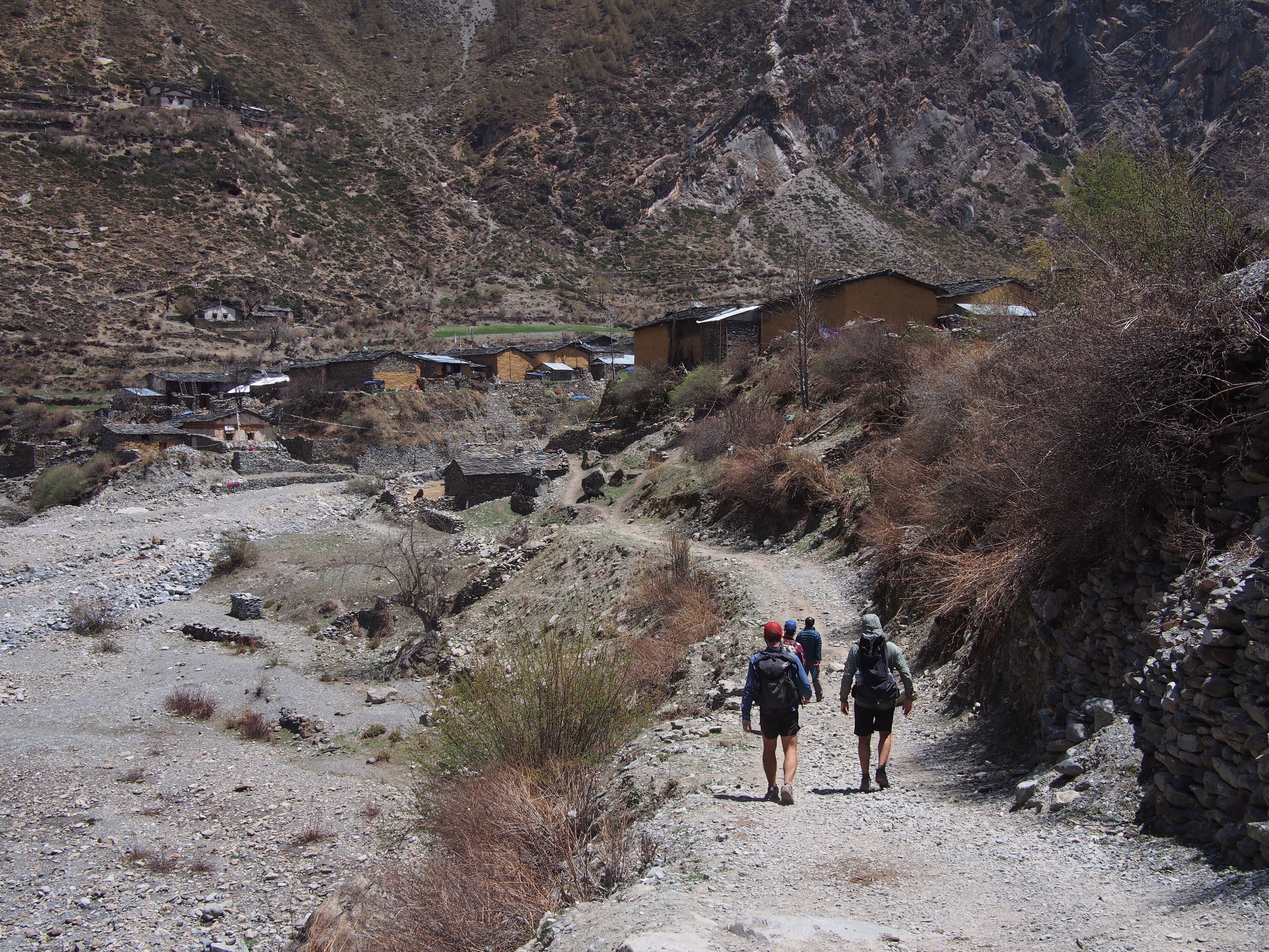
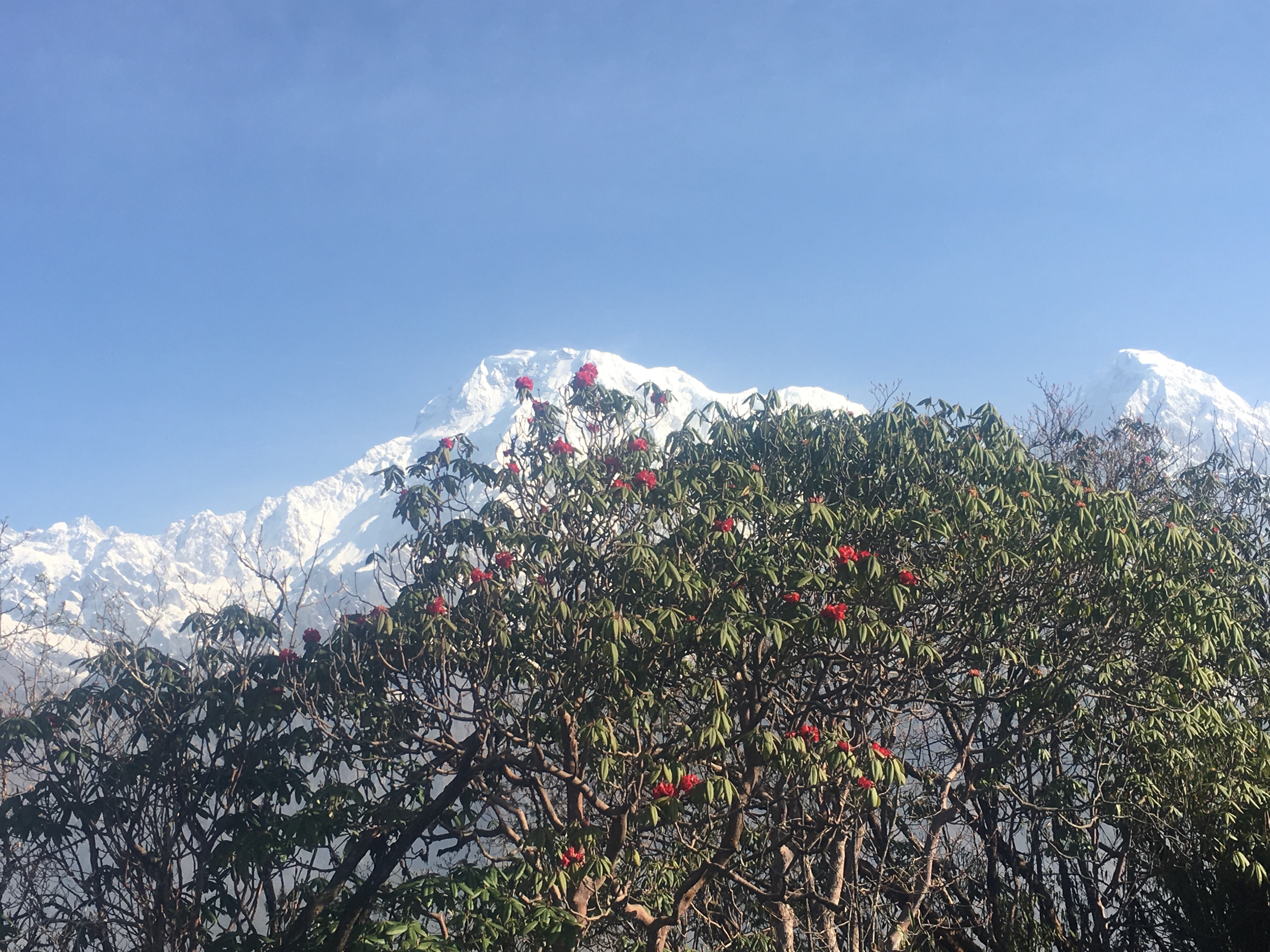
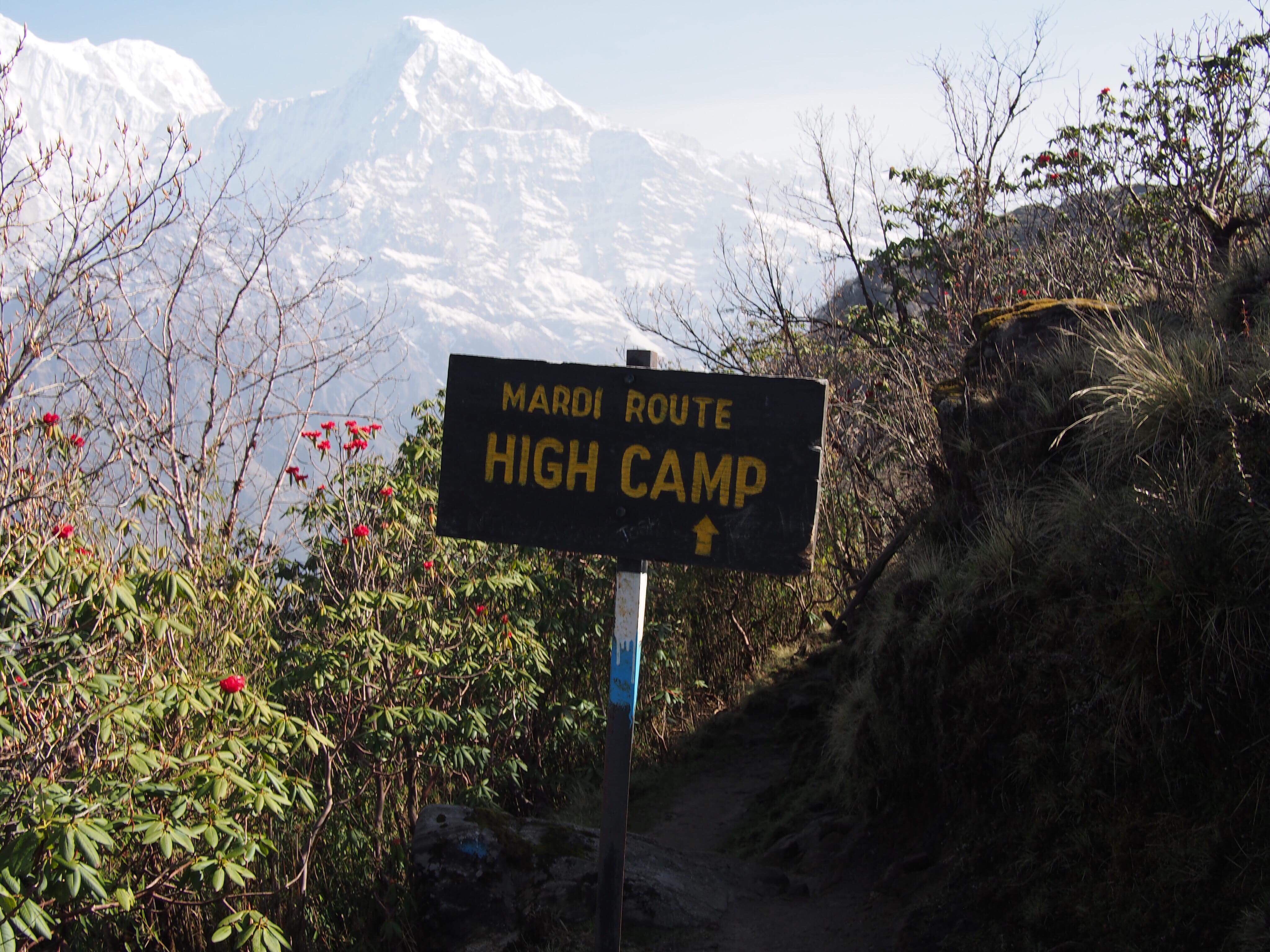
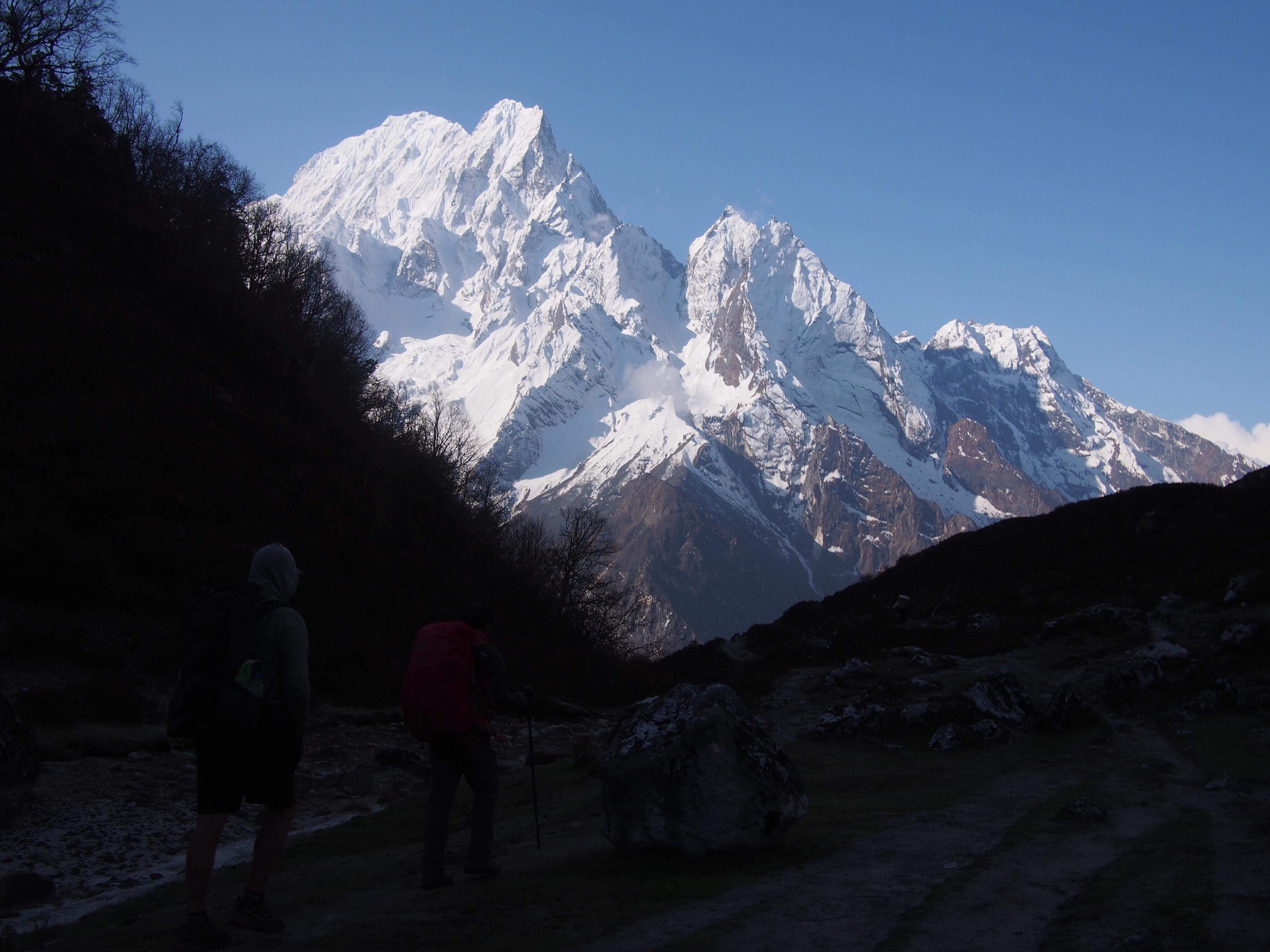
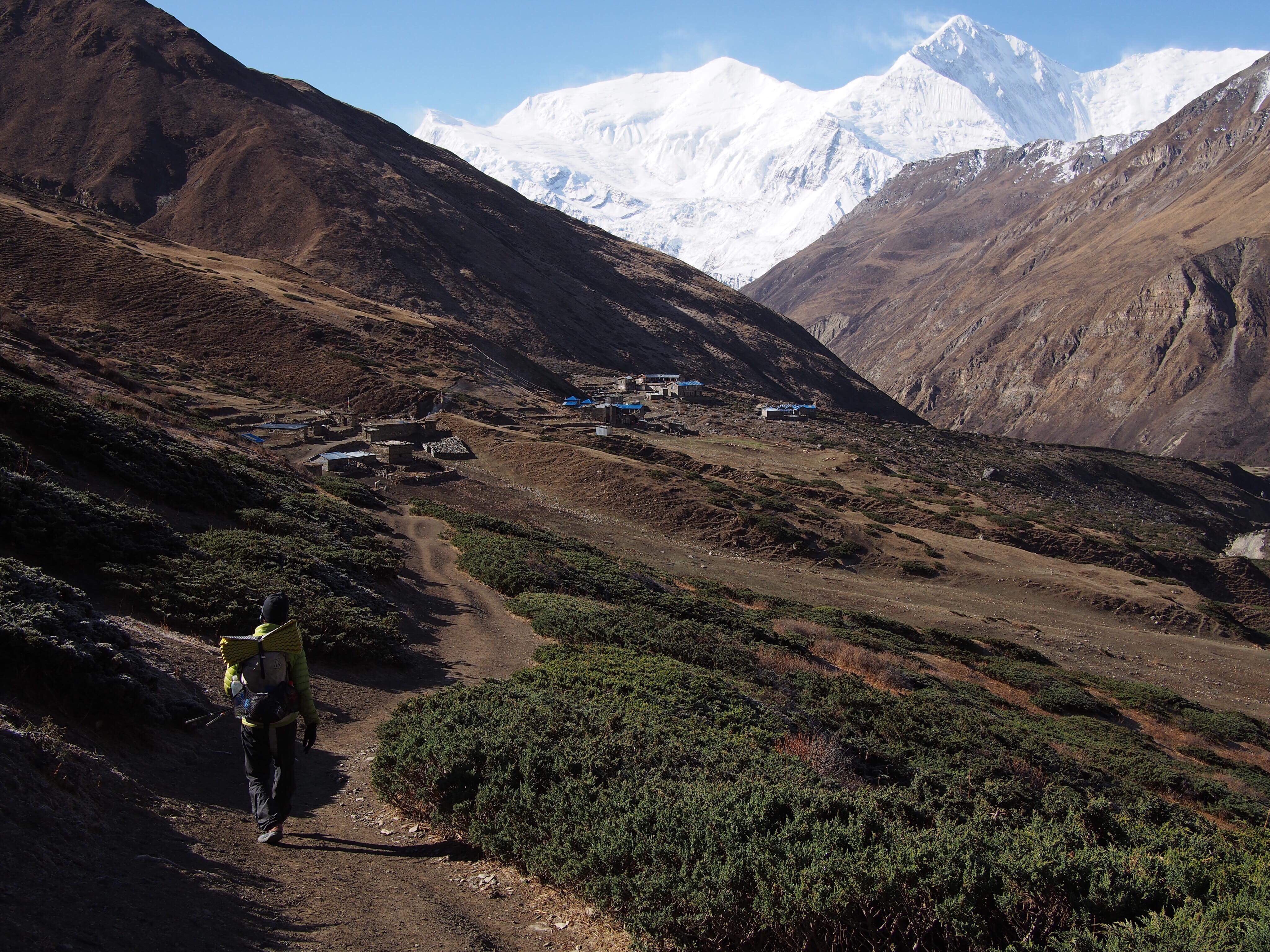
Good thing I was improving because after lunch we had about 4 hours of difficult hiking. The trail climbed steeply up to the village of Chhokar Paro where we’d spend the night. Along the way we saw a bunch of monkeys and a couple of blue sheep. Chhokar Paro was a nice place, because of reconstruction after the earthquake it seemed newer than the villages down low and had great views of Tsum Valley.
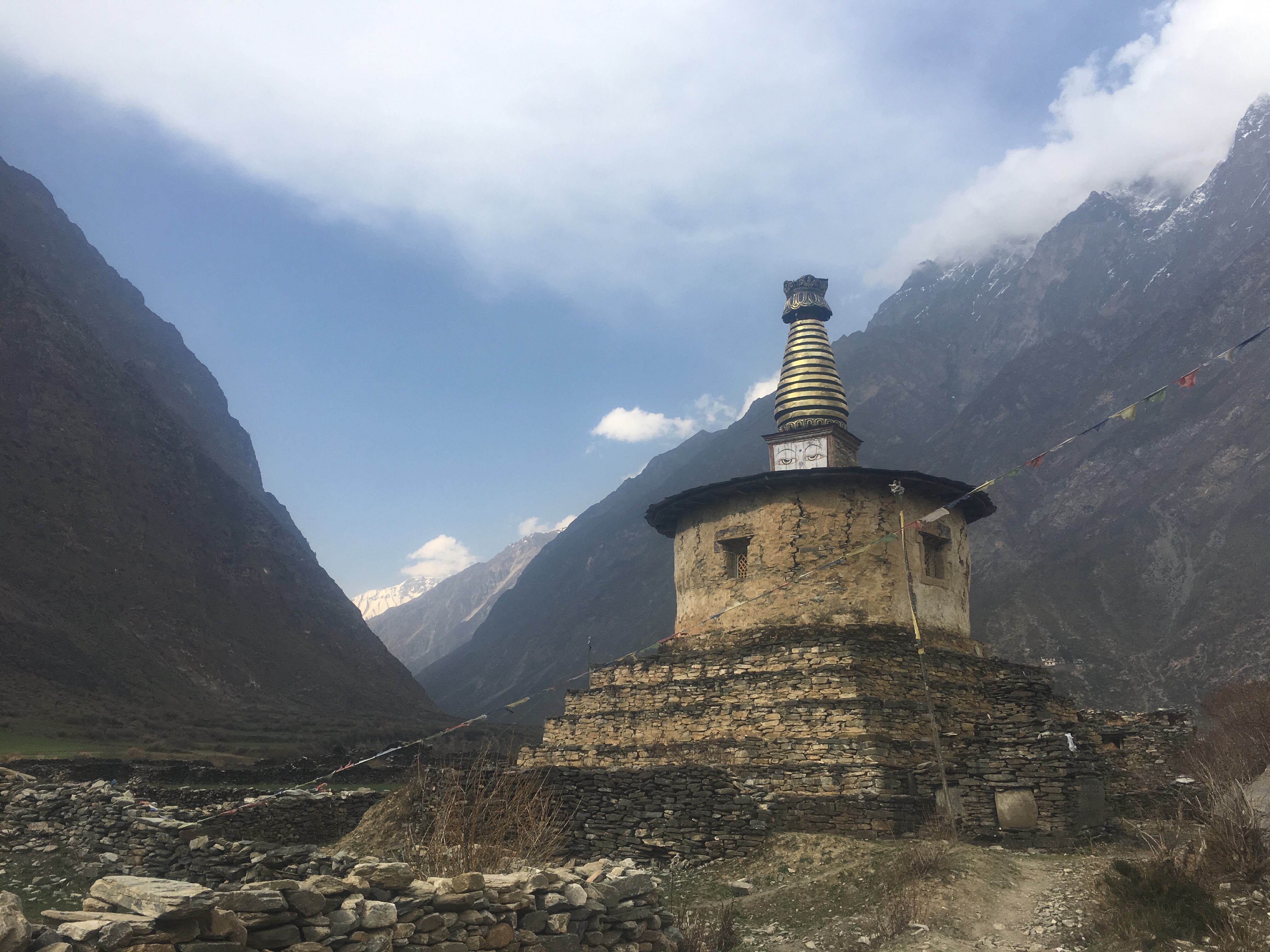
 Stupa
Stupa

At dinner I started to feel a little rumble in my stomach. This is when the diarrhea started. I rested a little bit then made it down to dinner and tried to eat a some soup. First I took some Imodium, then QB had an antibiotic for this situation so I started on that, Mac gave me some pill to help with my fever that was developing and Mountain Tiger had me eat a huge garlic clove and whipped up a magic potion for me to drink. I left dinner early to crash out.
A couple hours later I woke up and had an episode of the most spectacular diarrhea of all time. My system was completely flushed, it was another very unpleasant situation. QB took care of me and put me back to bed and I was able to sleep soundly the rest of the night.
Day 4
Lar
Elev. 10,500 feet
Miraculously I felt really good this morning, not great, but really good. My system was completely empty so I had some porridge and black tea for breakfast and I was back on my feet again. Good thing too because today was a beautiful day.
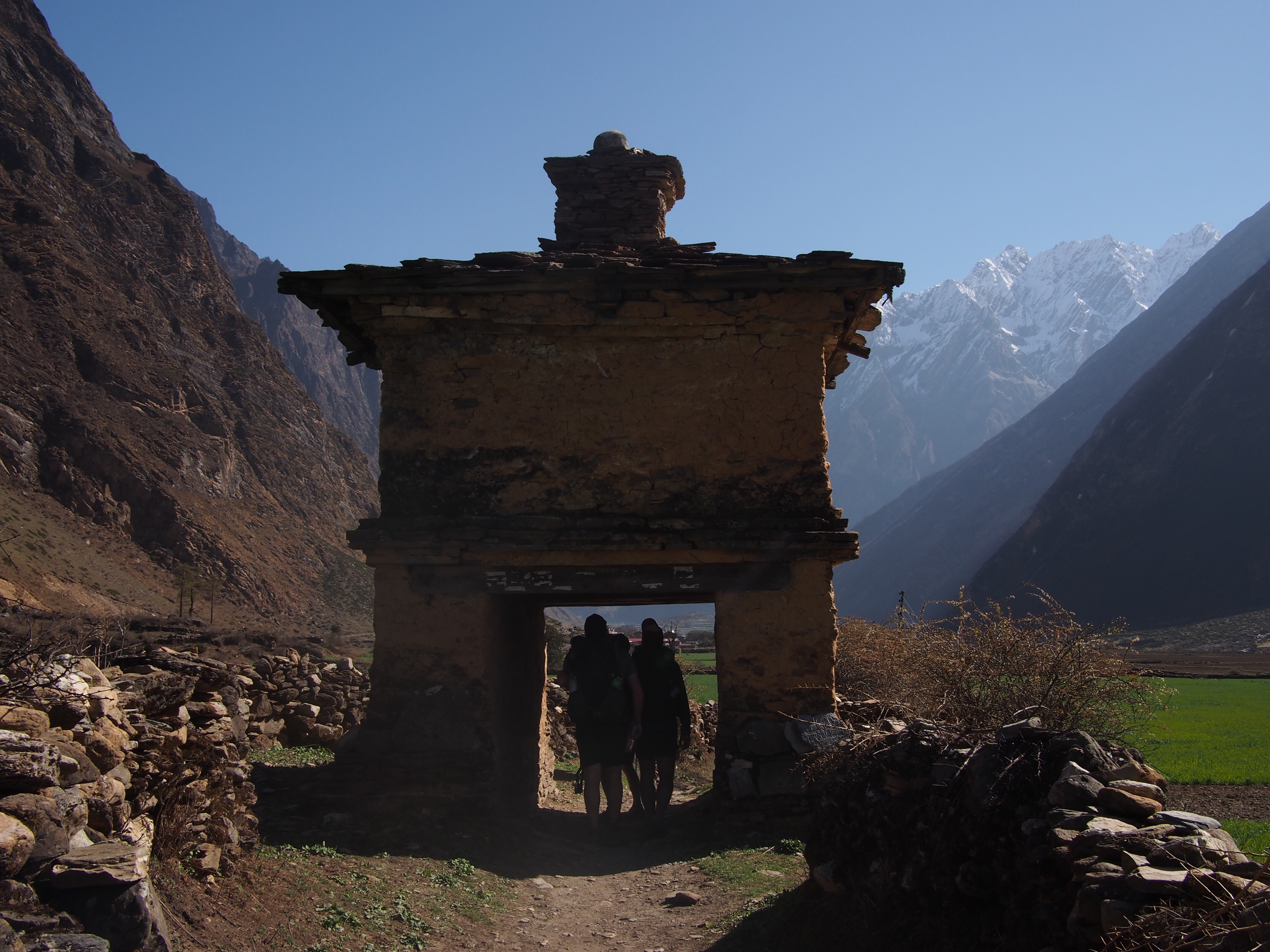
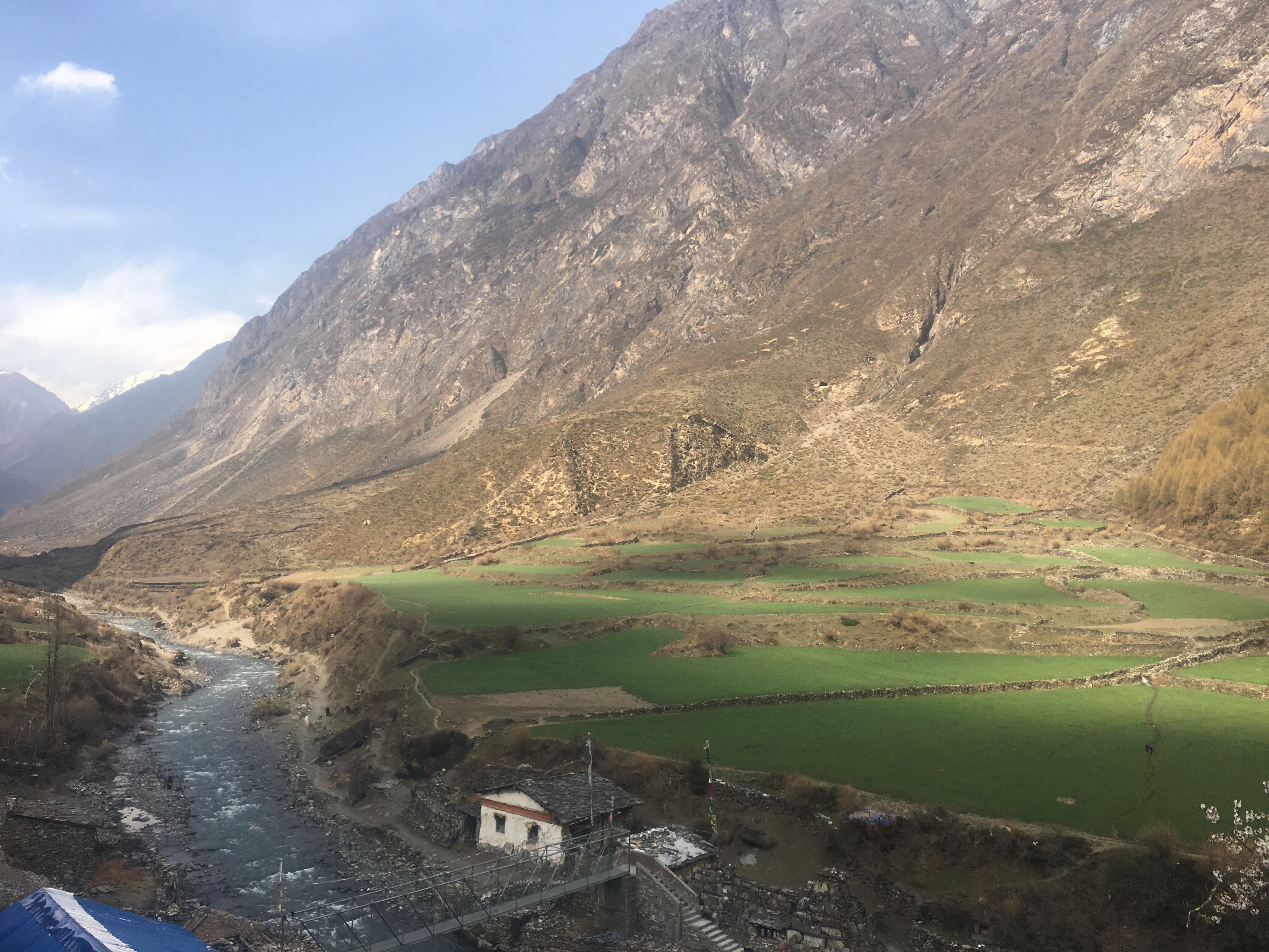
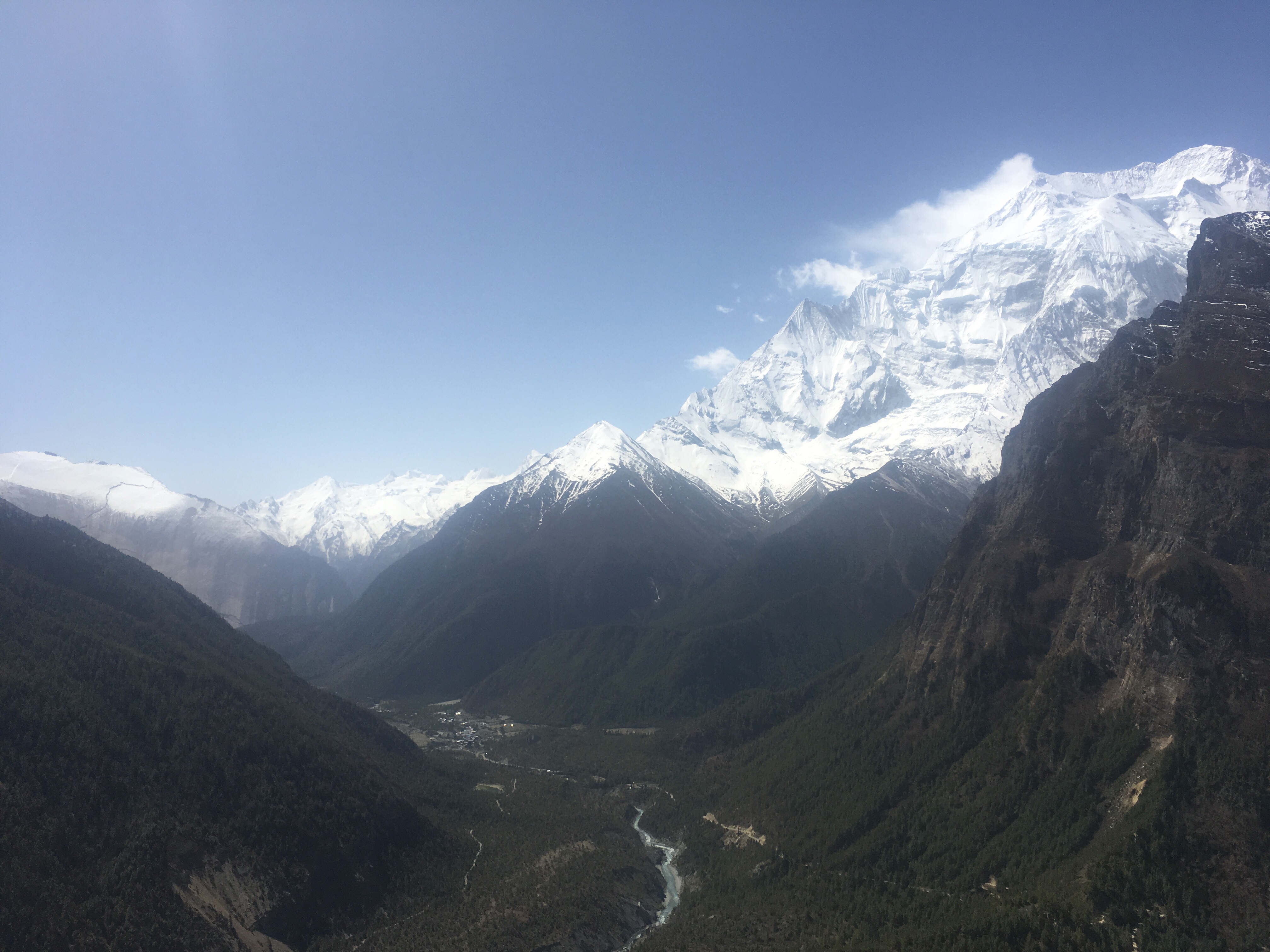
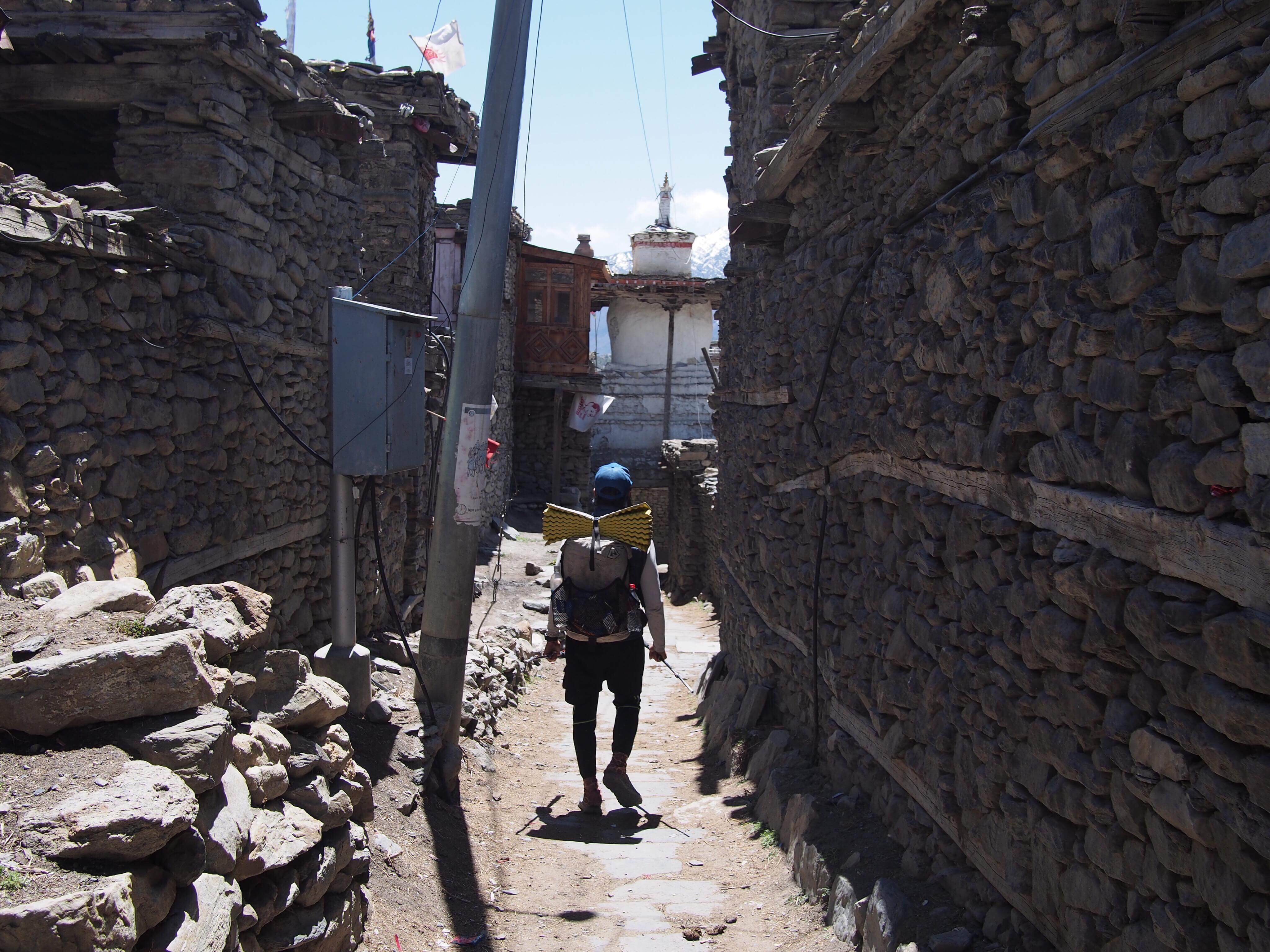
We walked north into Tsum Valley which had big green fields and even bigger white mountains all over. There was lots of Buddhist shrines or Stupas along the trail and we stopped at Rachen Gompa (Gompa: monastery) to check it out. This place was cool but it seemed relatively modern, newer than I expected anyway for a Himalayan Monastery.
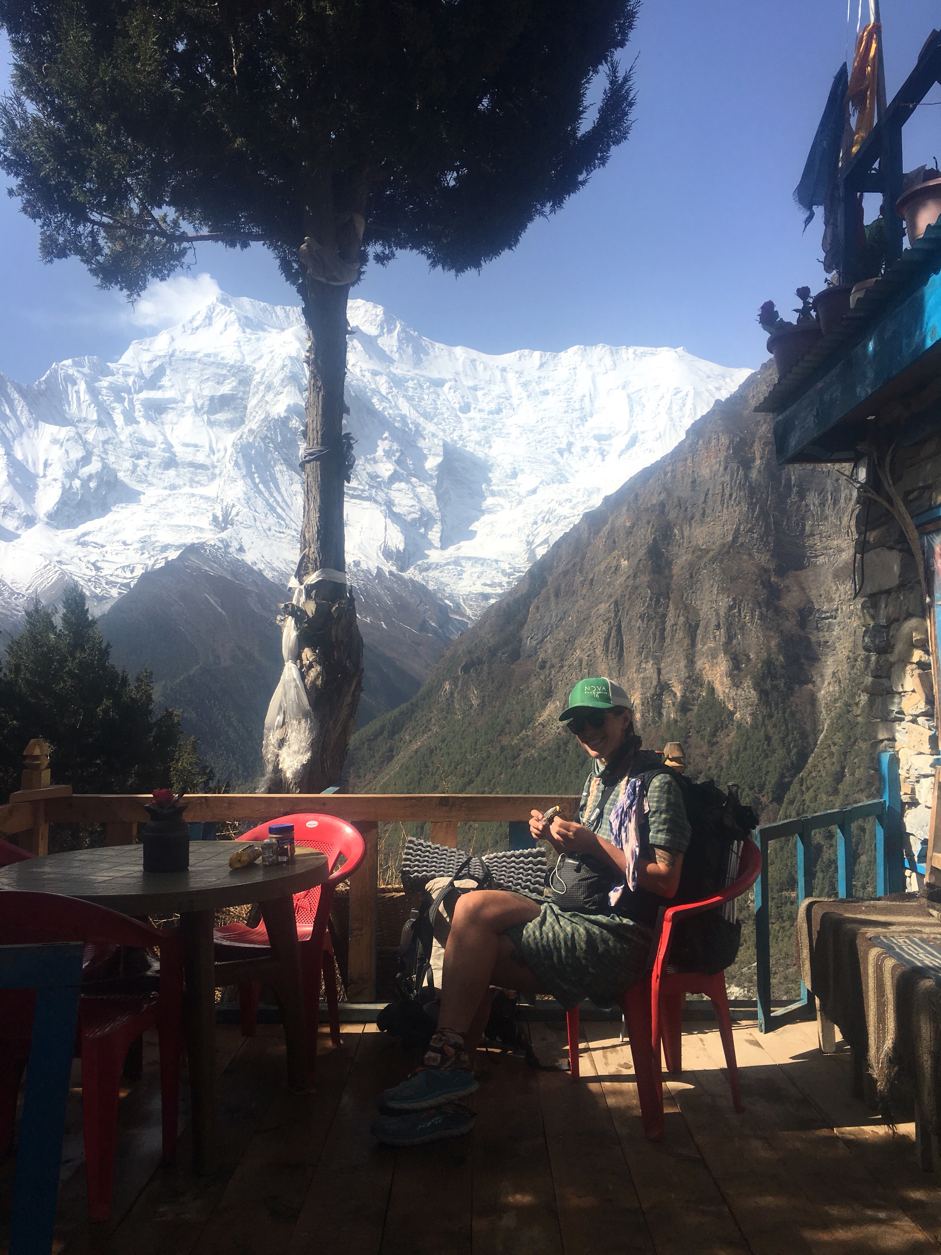
From there we walked a little further to the village of Lar and had some lunch at the Yak Hotel (it would have been more fitting if I threw up at this place). Since we’d be staying here tonight we dropped off most of our stuff and went with light packs the rest of the day. From Lar we walked further into Tsum Valley towards Mu Gompa. I knew we were getting into the good stuff because for the first time of the trip I saw Gopal take out his phone and take a few pictures.
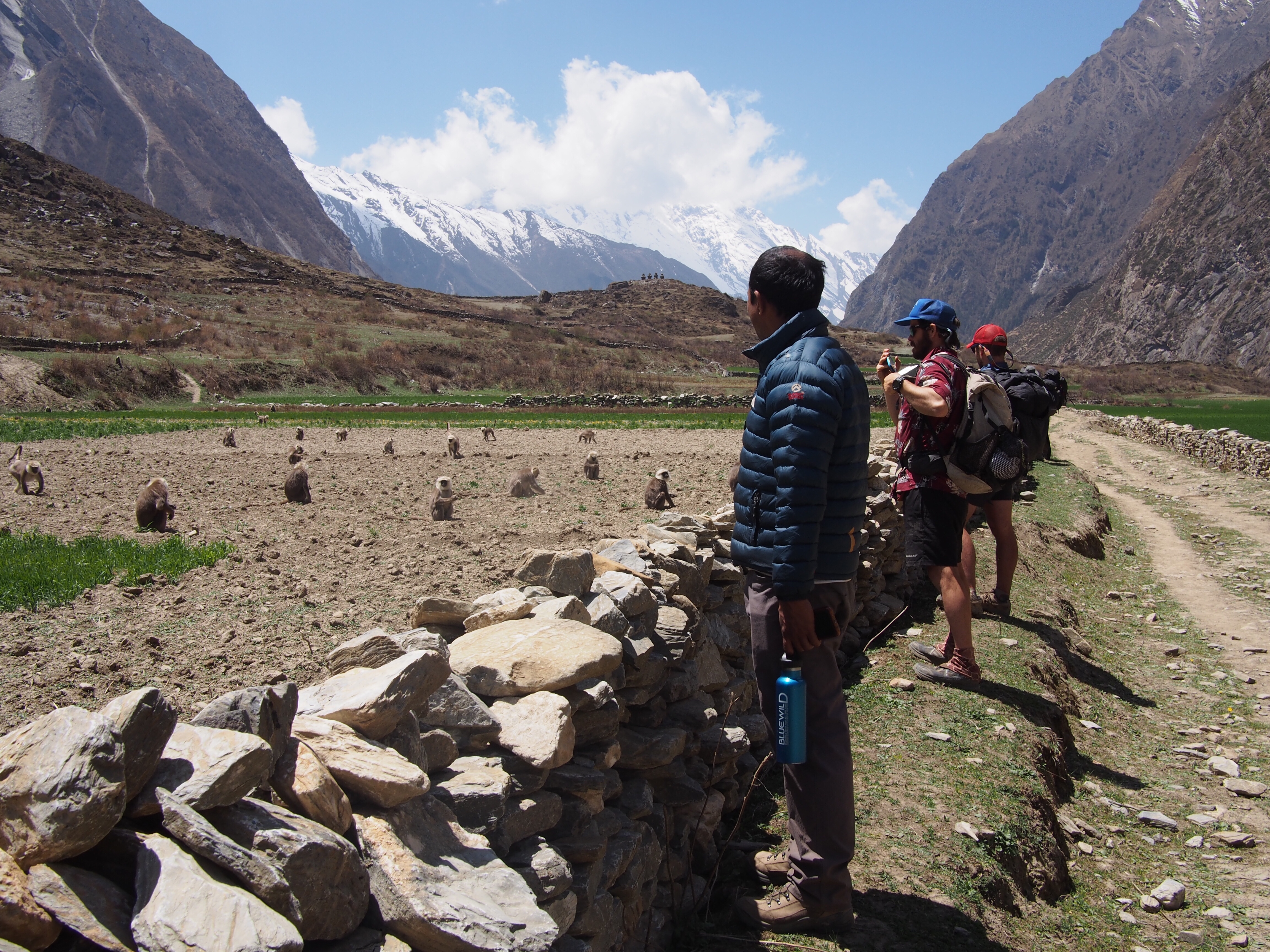
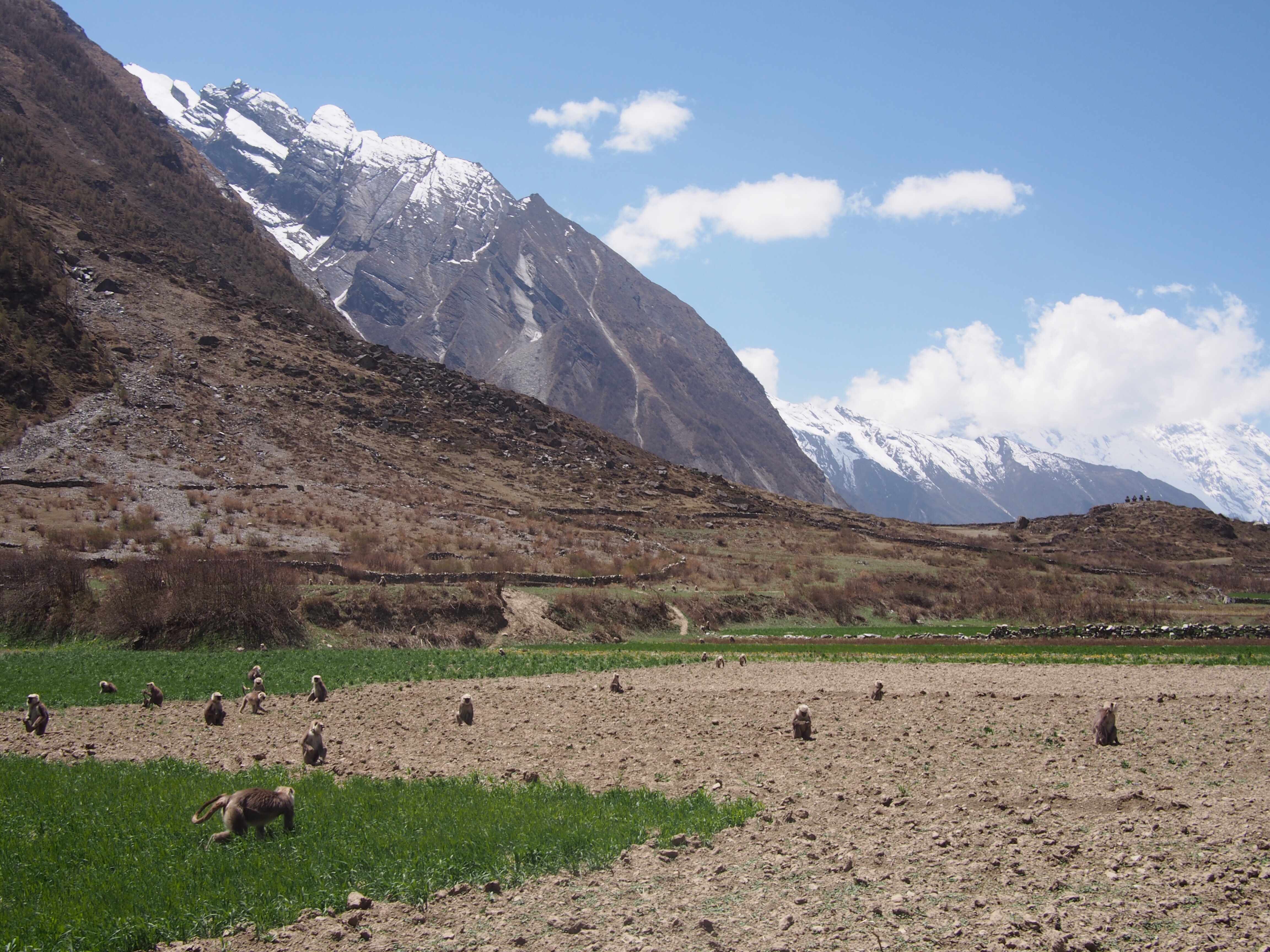
Along the way we saw a ton of monkeys raiding a potato field and a lot more Stoopas and Mani Walls(These are Buddhist prayer walls in the middle of the trails, stay to the left if you come to one).

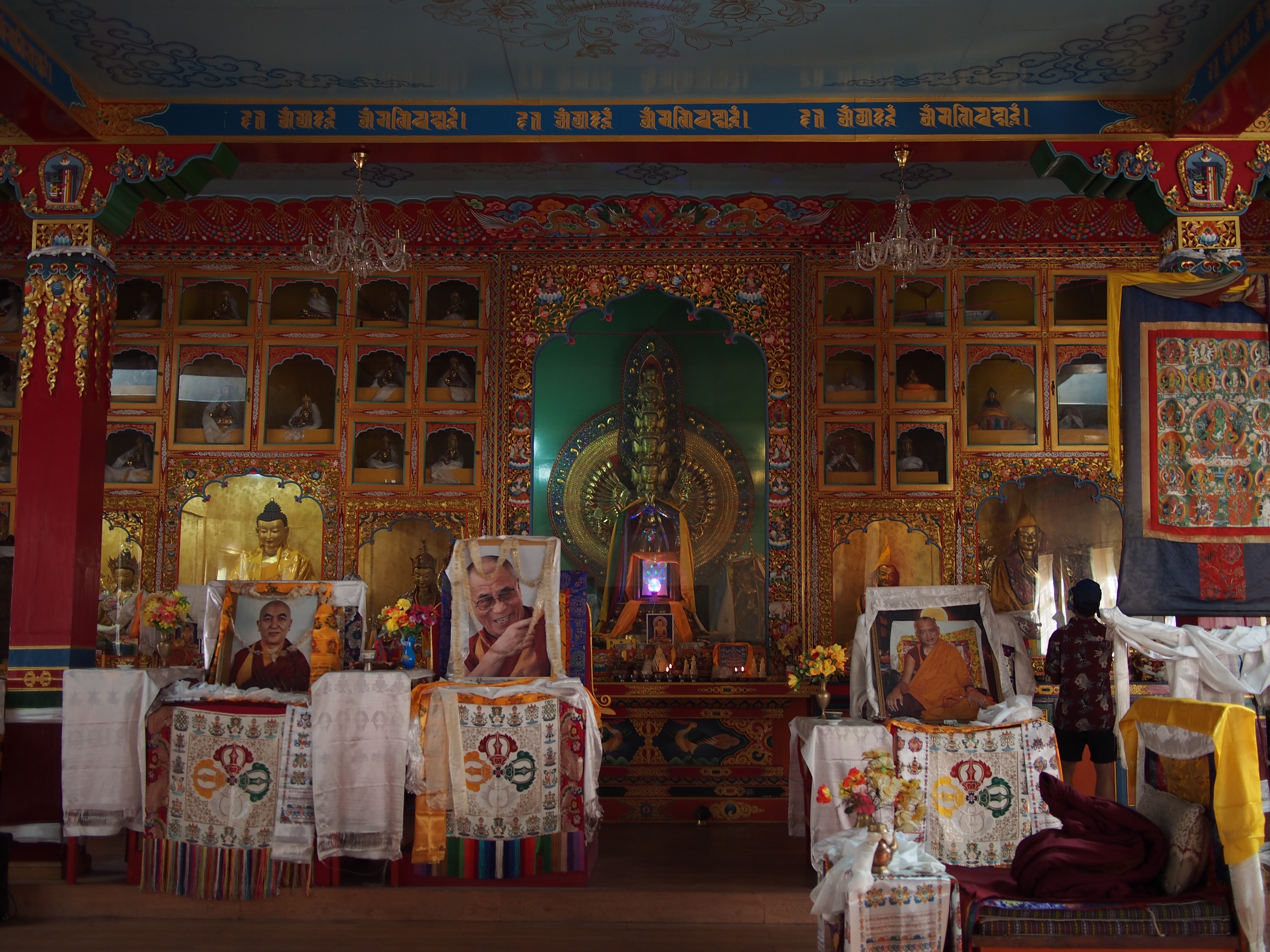
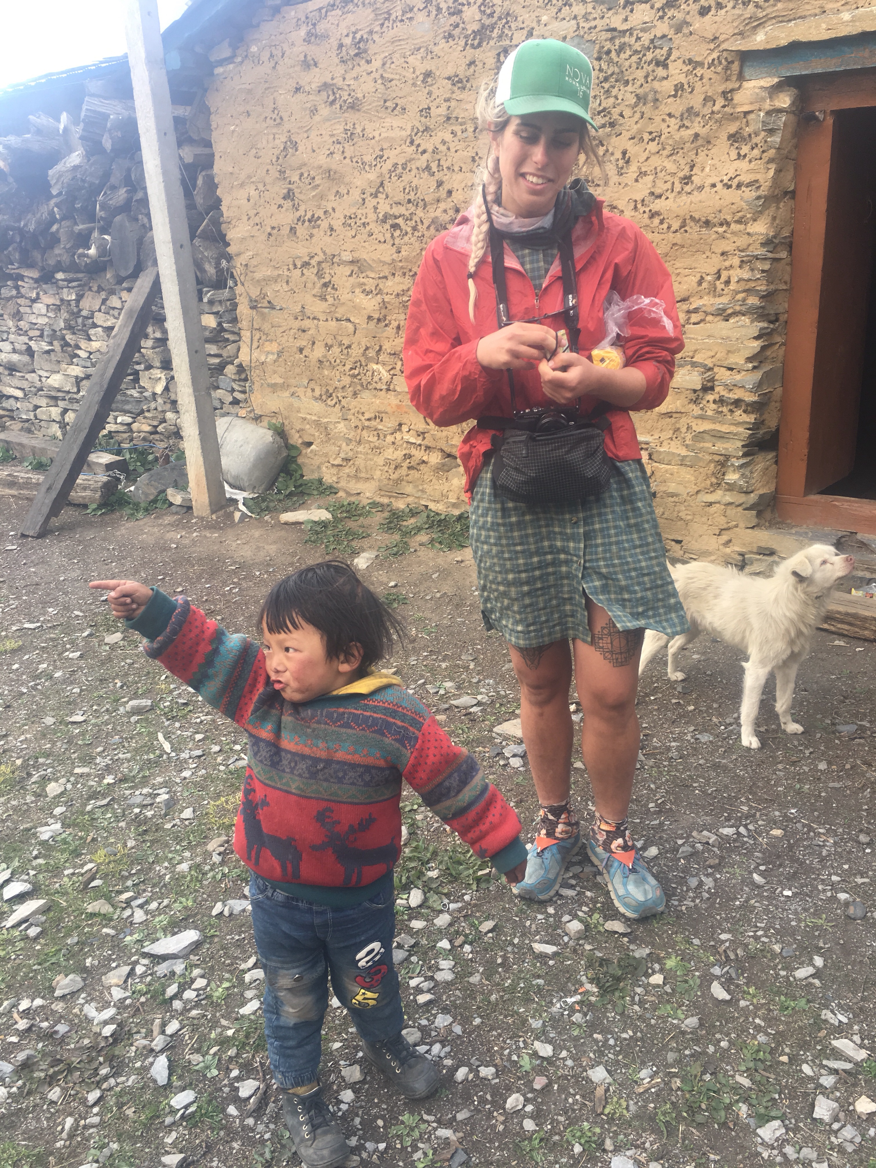
Mu Gompa is the real deal, it’s a 700 year old very authentic feeling monastery that sits around 12,200 feet. The monks there showed us around and served us some tea. It was otherworldly. They don’t talk much but one of them really liked QB’s tattoos.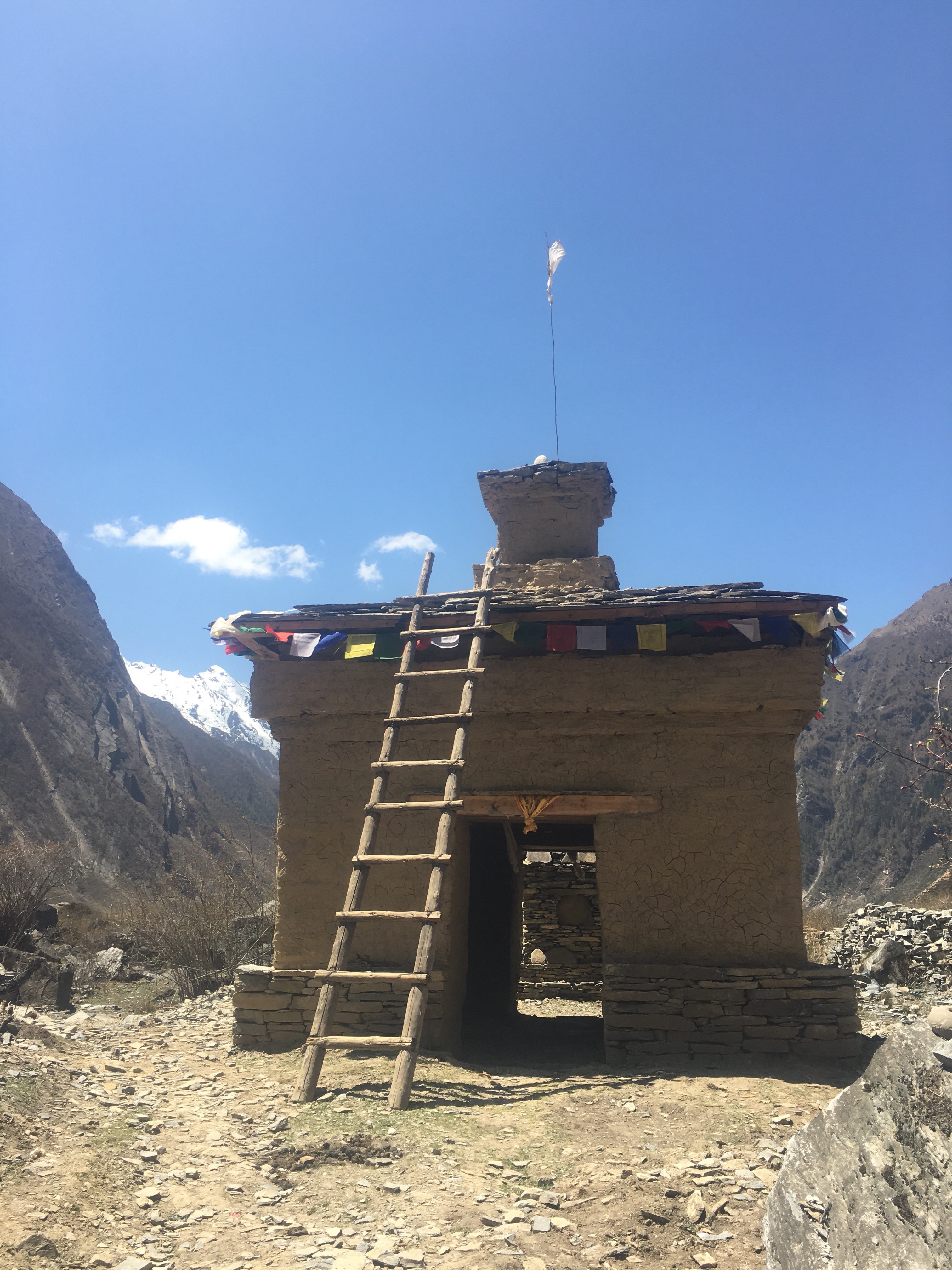
We walked back down a few hours to the Yak Hotel and it was a very enjoyable day. After the night I just had I felt very lucky to be able to hike comfortably today.
28.213477
83.956956
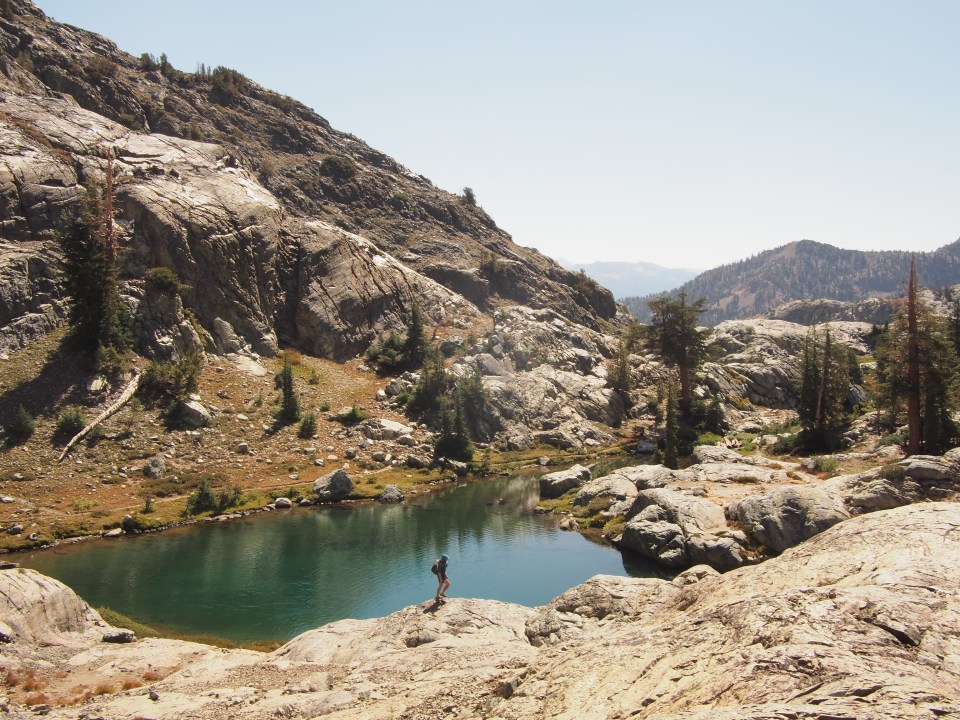
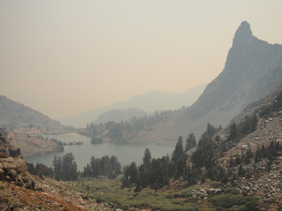
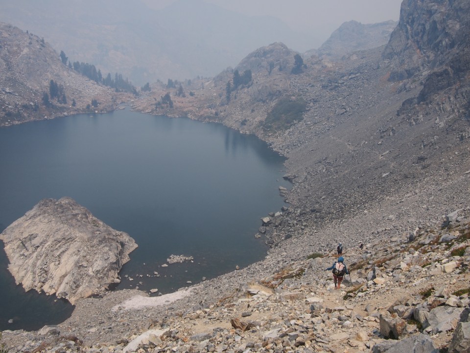
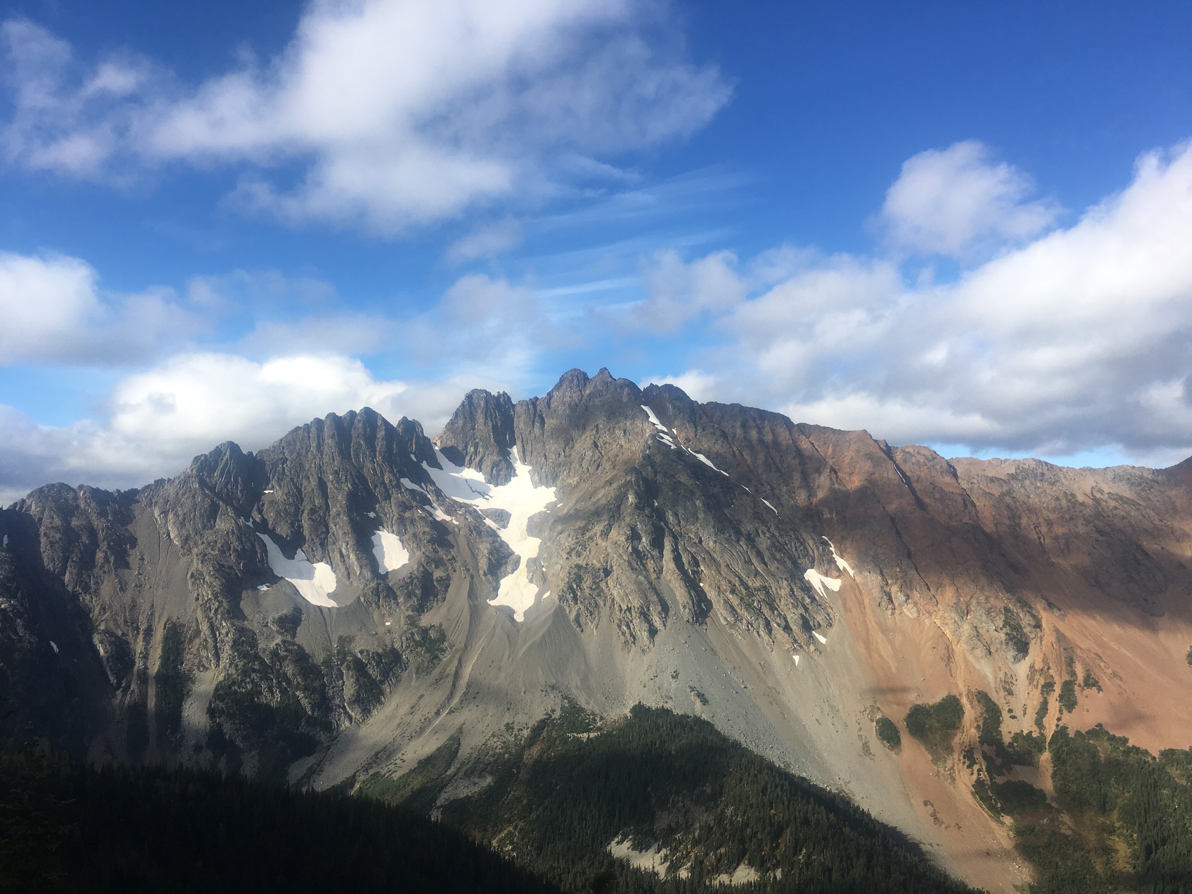
 We think we figured it out and climbed a steep but manageable slope up to a pass that gave us incredible views of the Minarets to the north. Dropping down Nancy Pass, or perhaps not Nancy Pass, was a bit trickier. There was a good amount of steep loose scree and talus that we followed left and eventually made it up to a trail that led to Minaret Lake. This is a beautiful lake in the shadows of the dauntingly jagged Minaret peaks looming overhead and we all couldn’t resist going for a nice swim. I just regret leaving my goggles in the car because there was some big time fish in here.

 These pictures are all the work of either Sara, Mac, or Paulina. To see more of their stuff follow their insta’s @halfwayanyhere or @paulinadao. Mac keeps a real blog also, find it here: halfwayanywhere.com. These two have incredible adventures and are excellent sources for backcountry information.
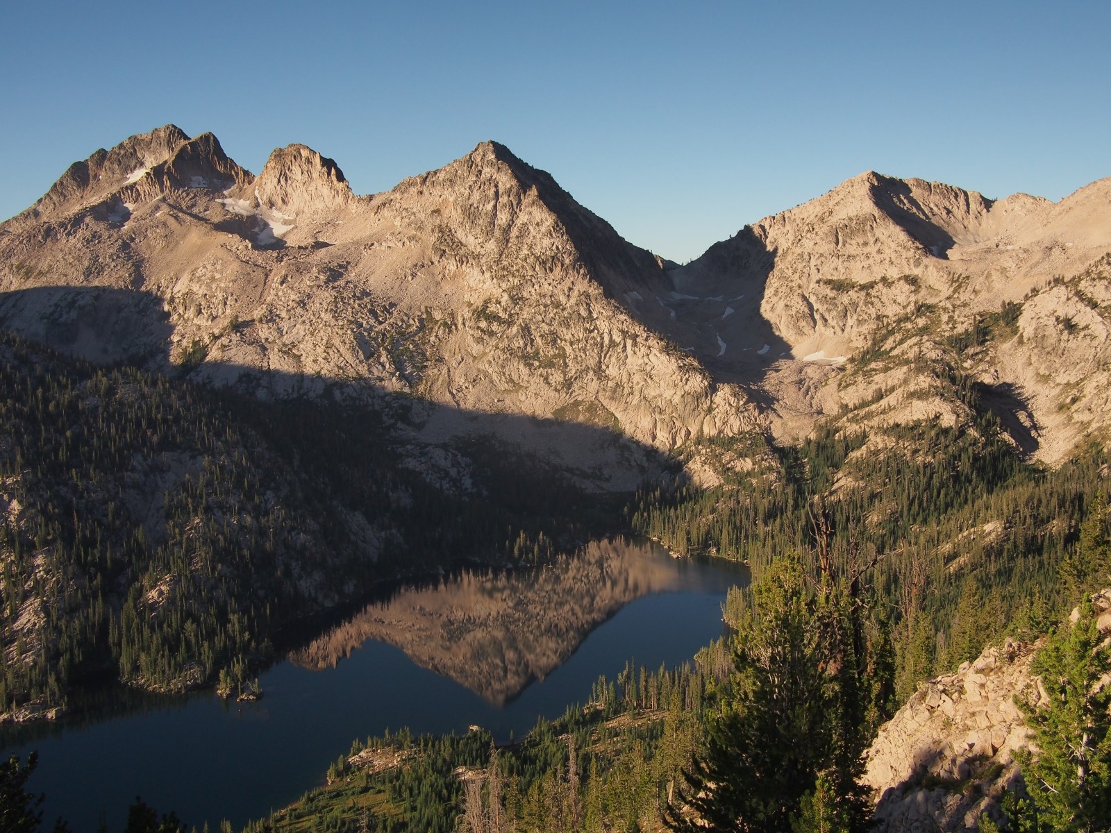
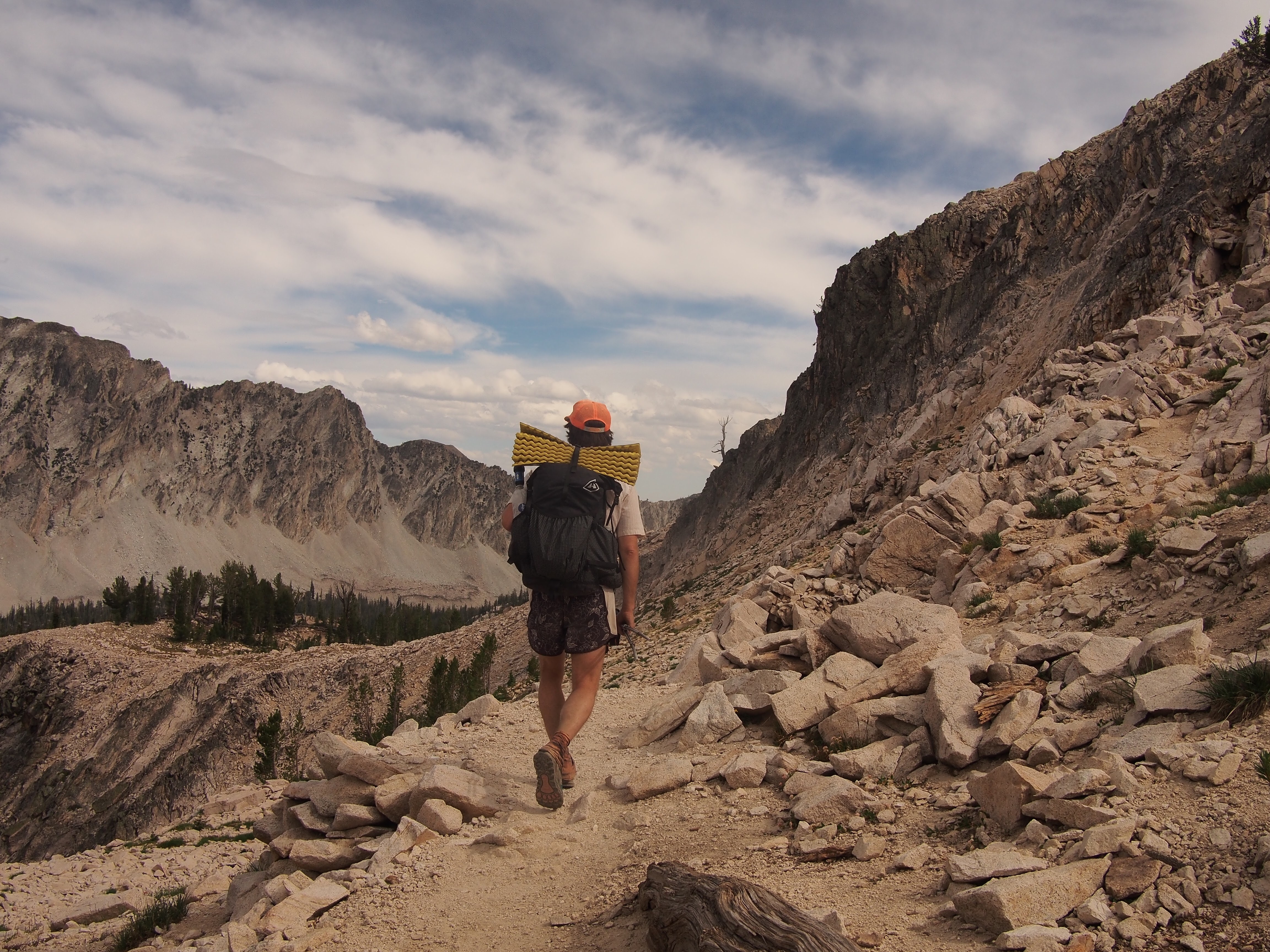
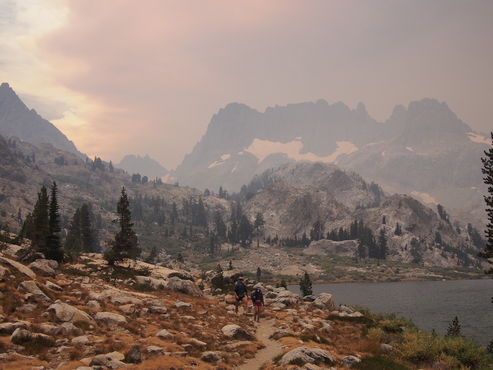
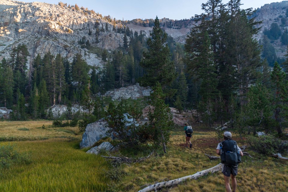
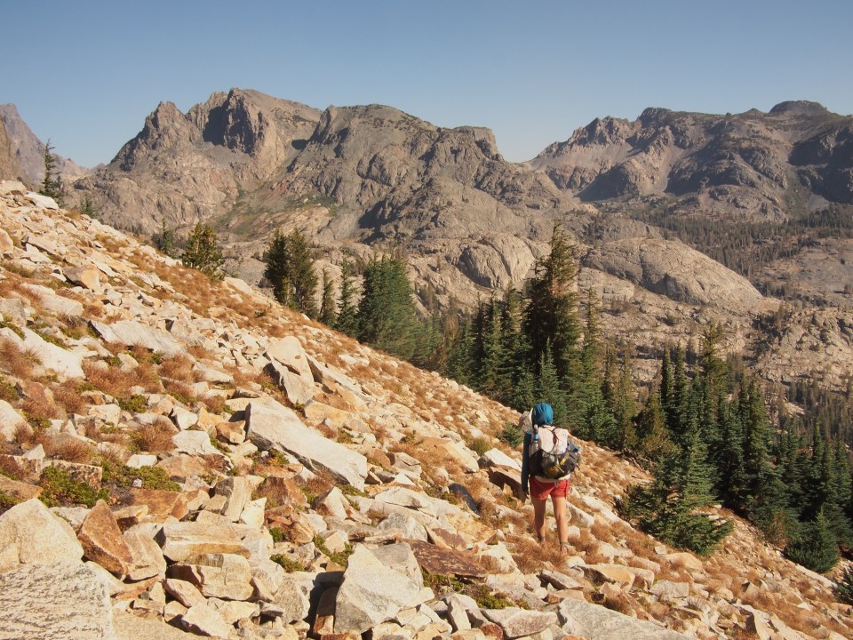
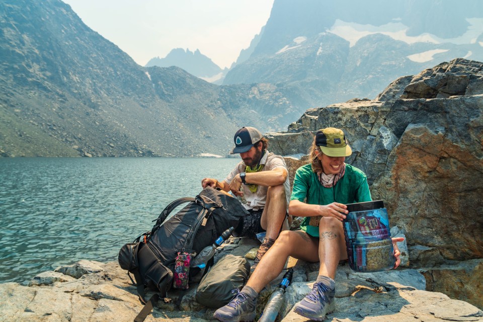
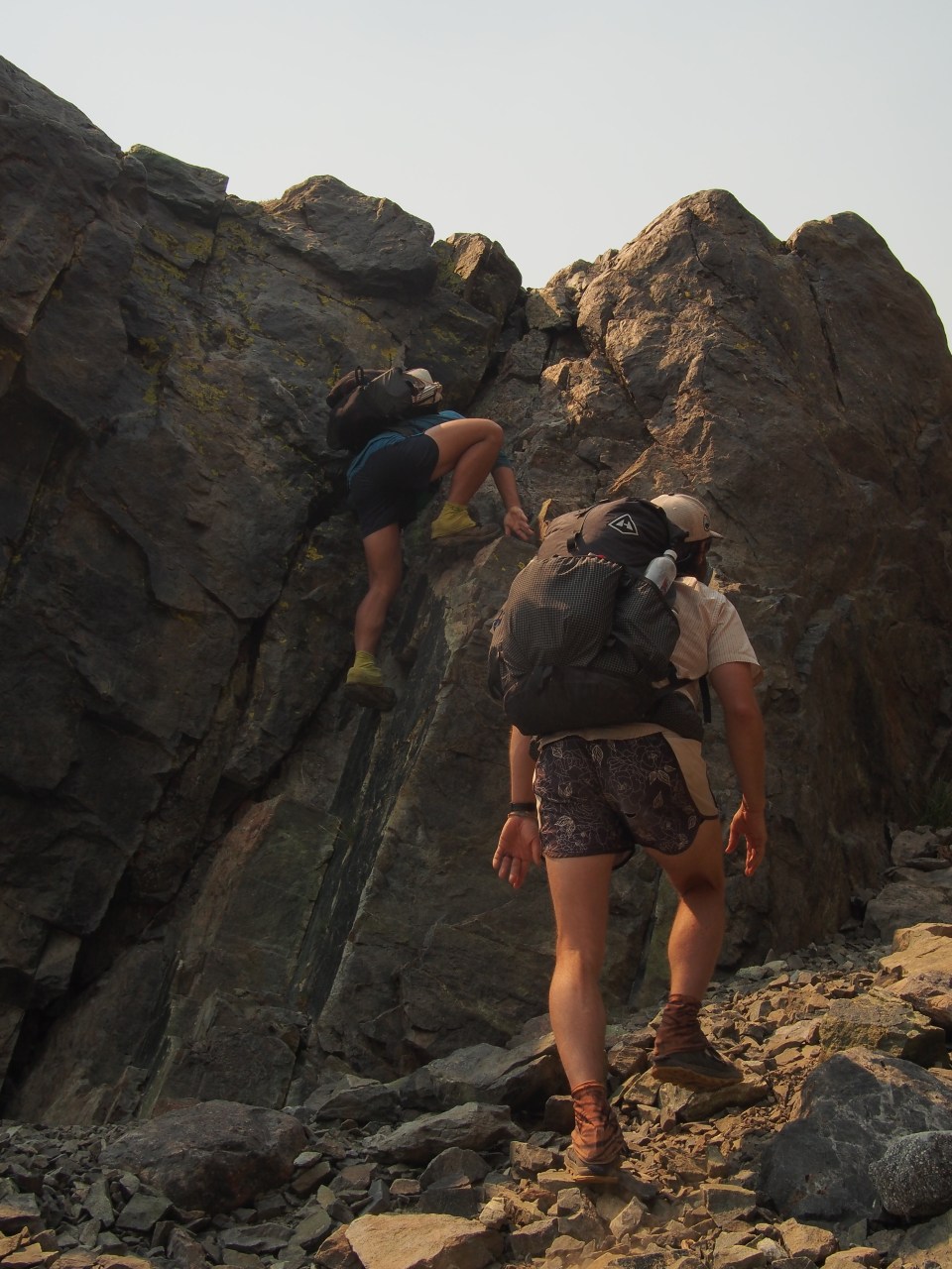
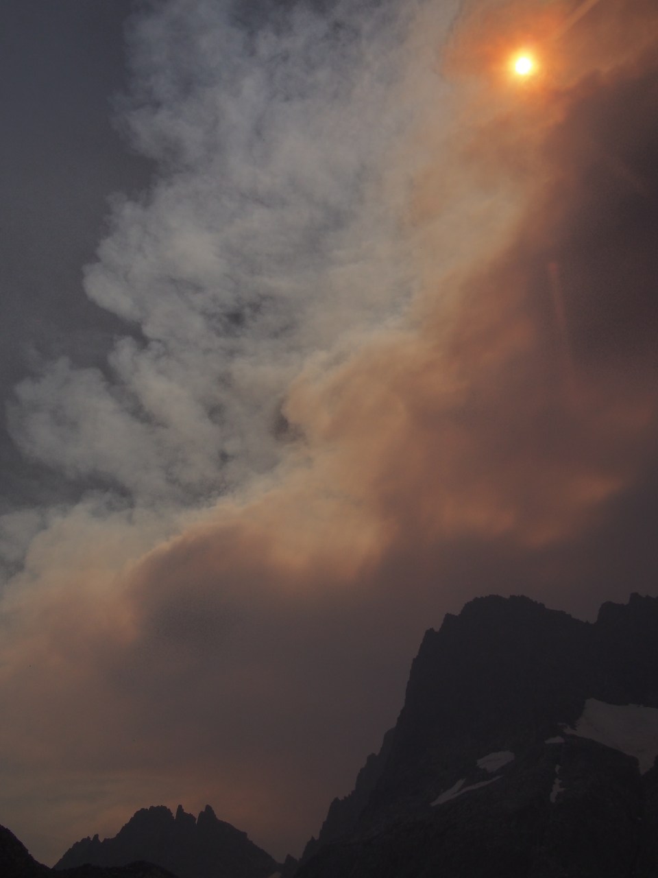
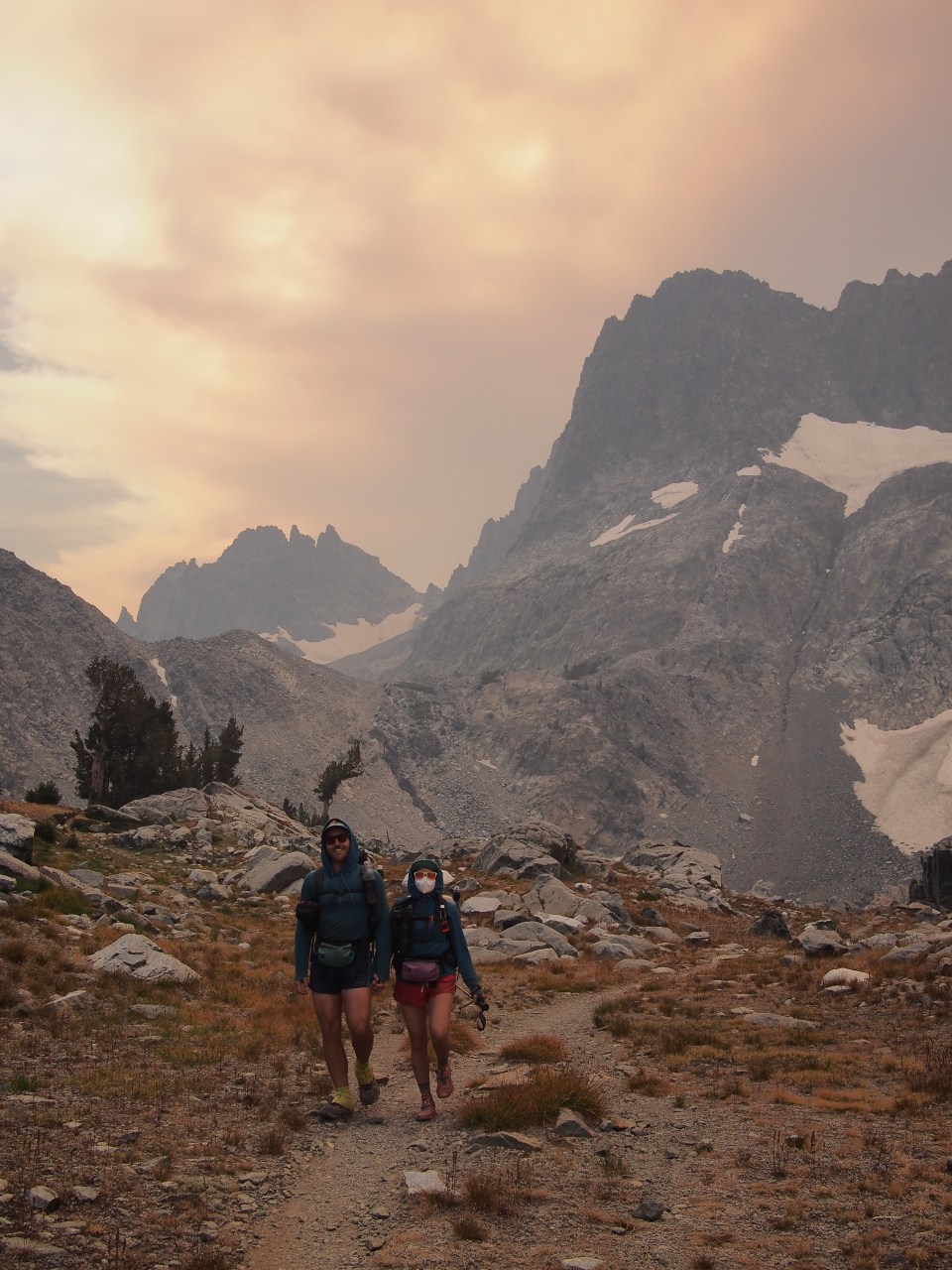
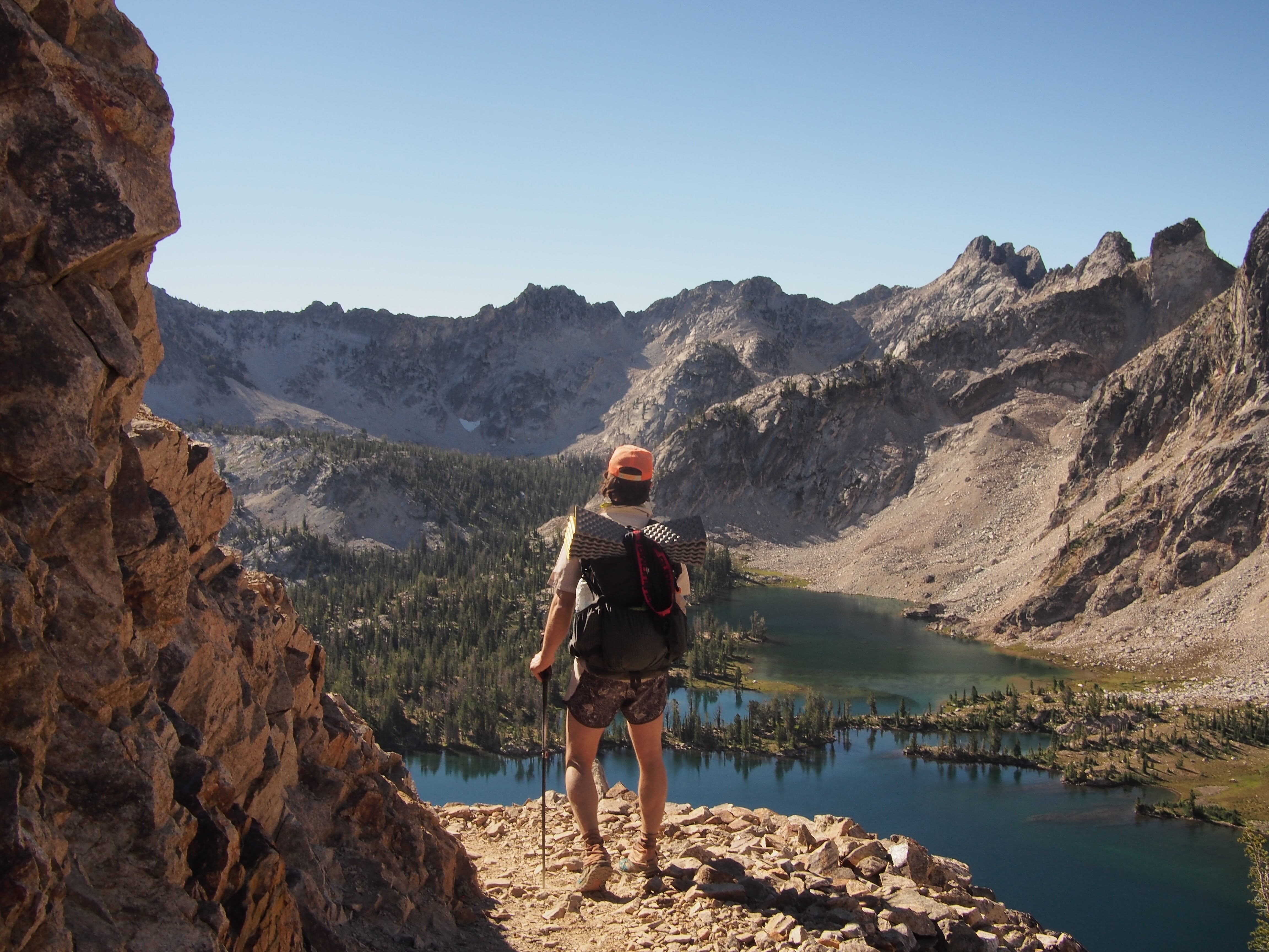
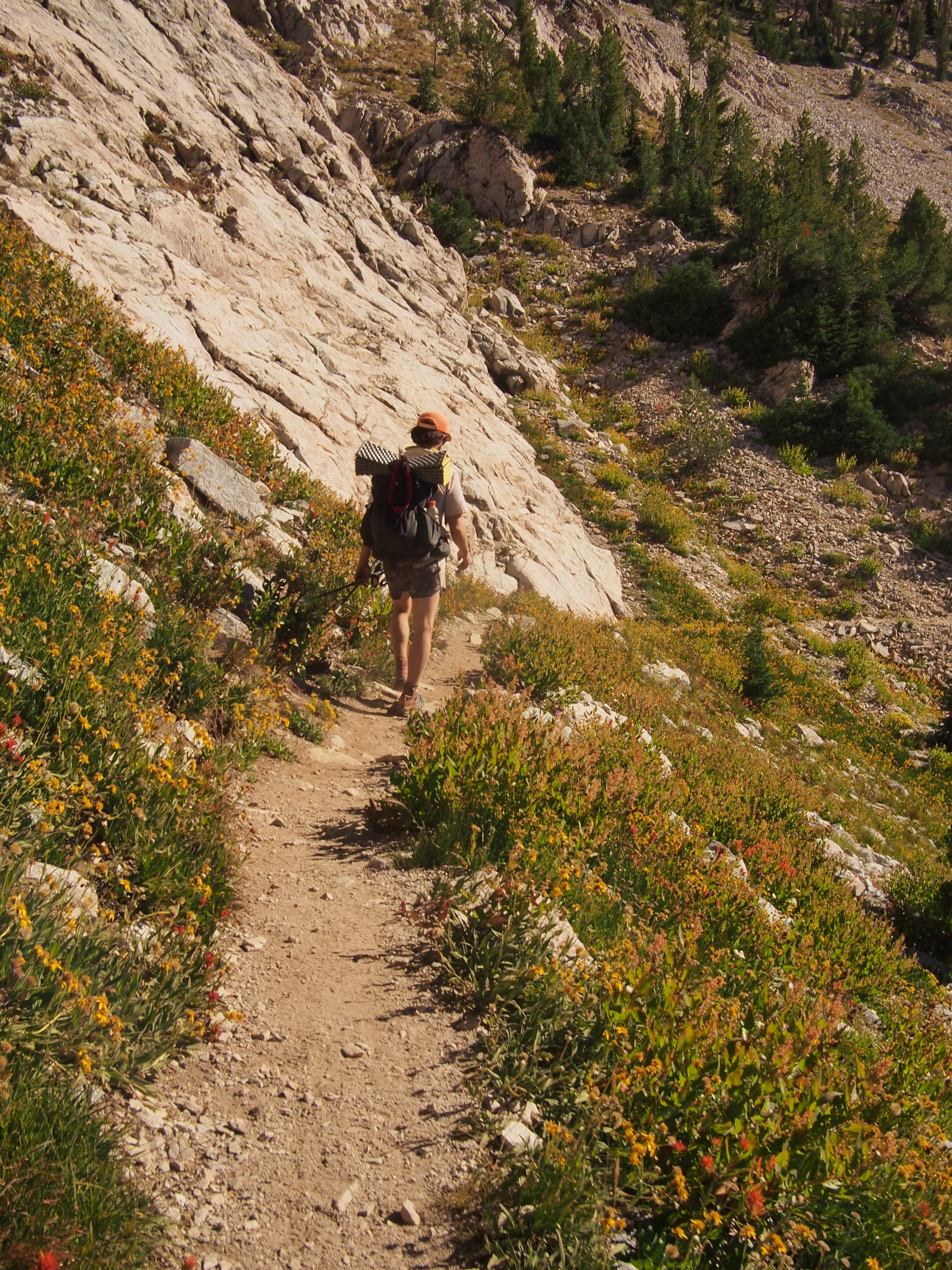
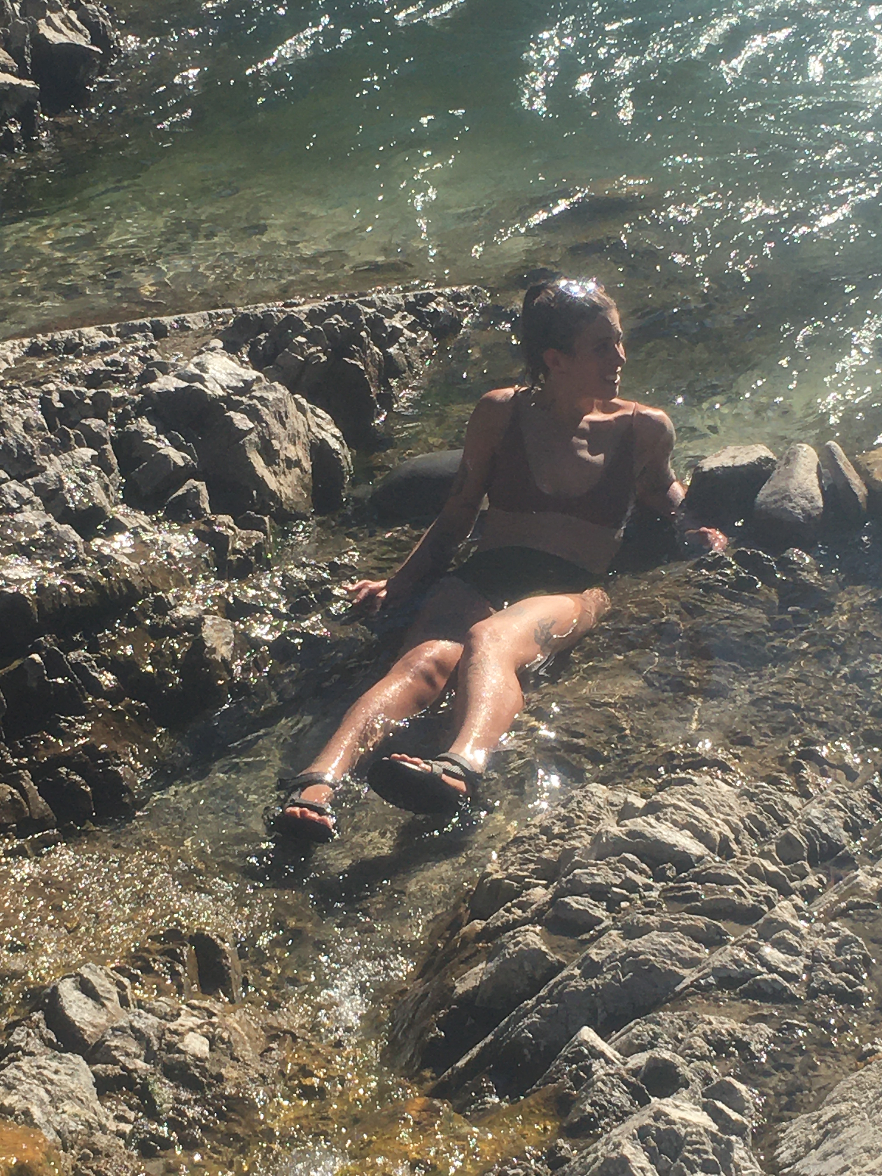
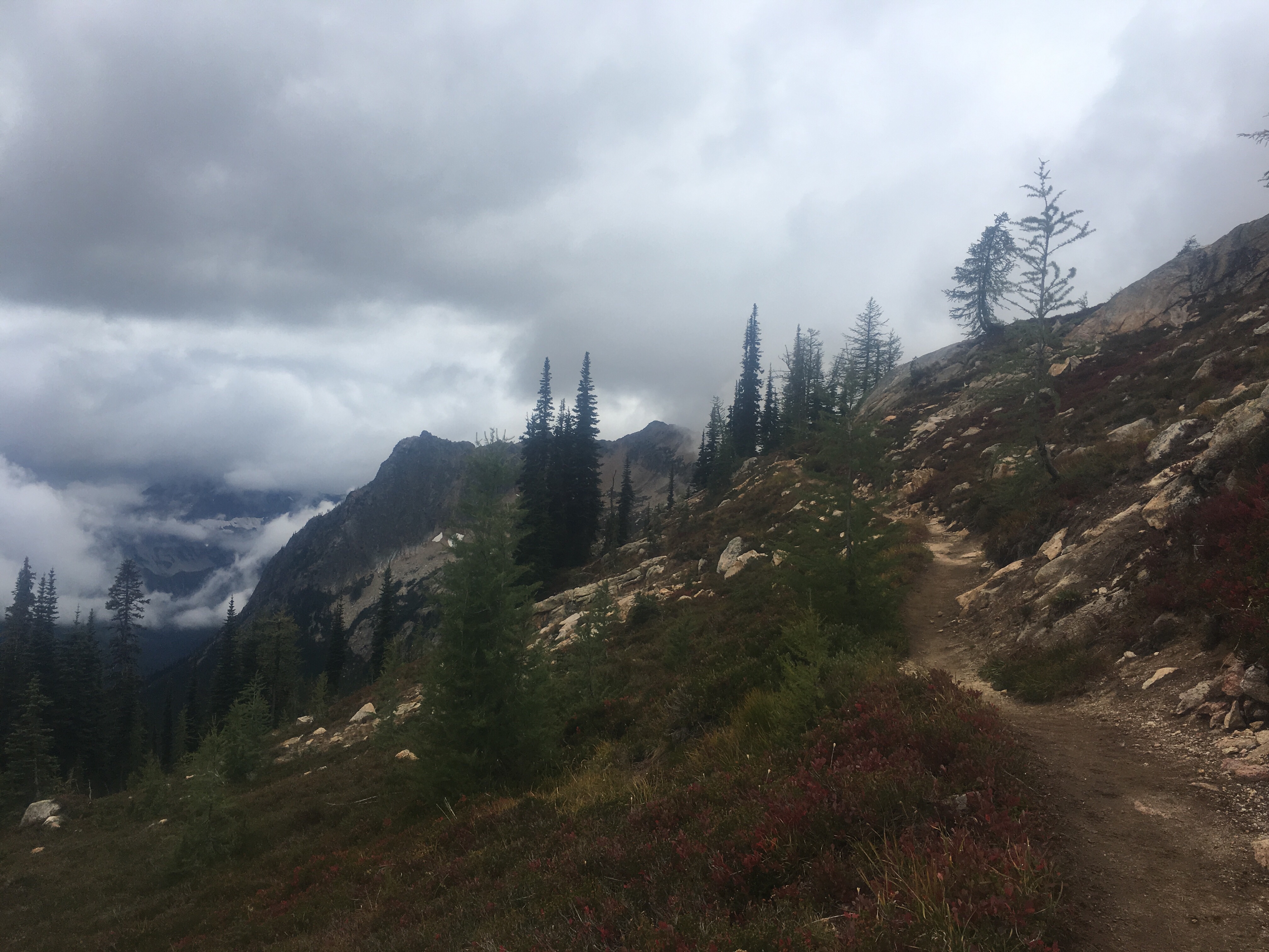
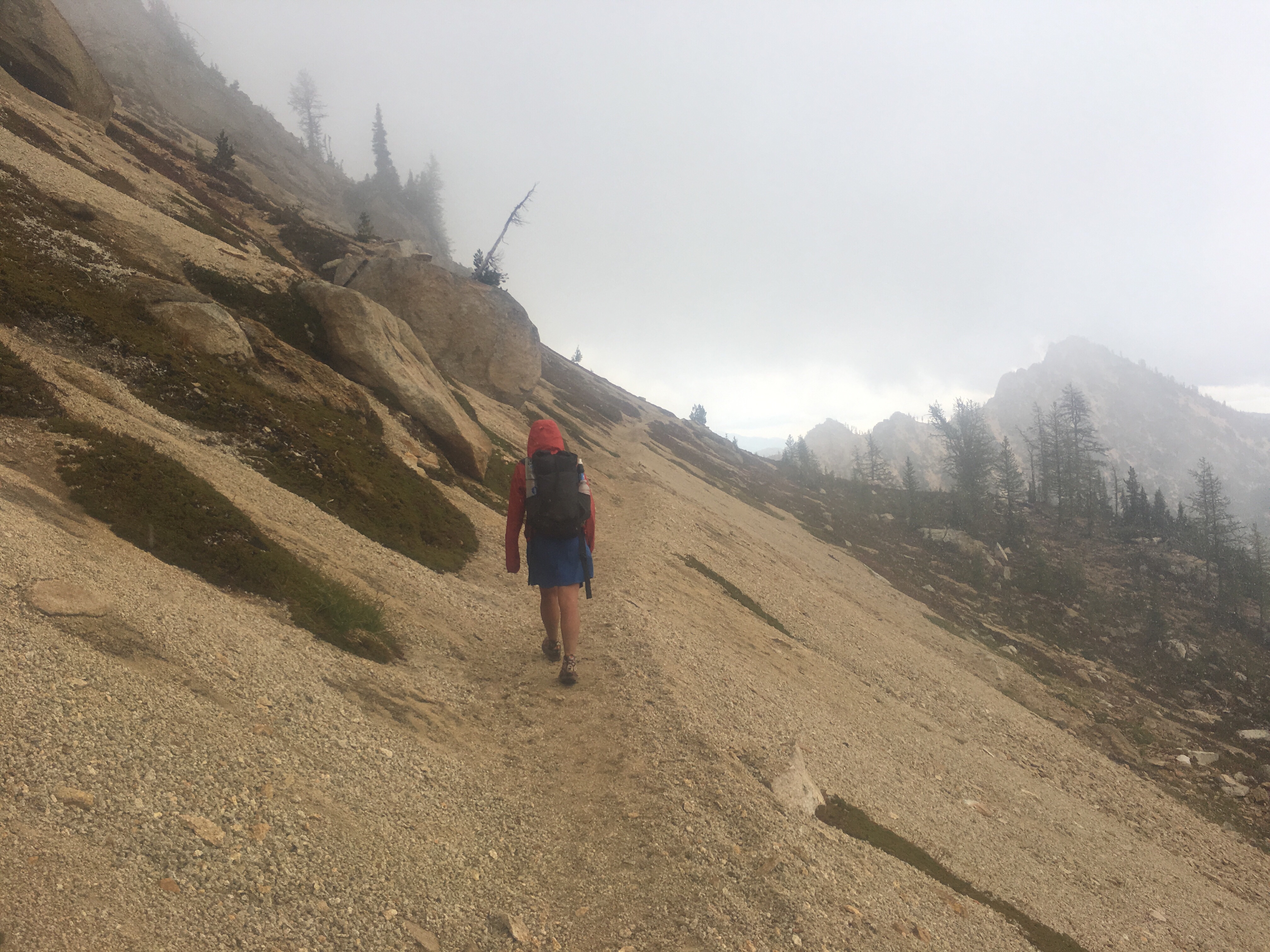
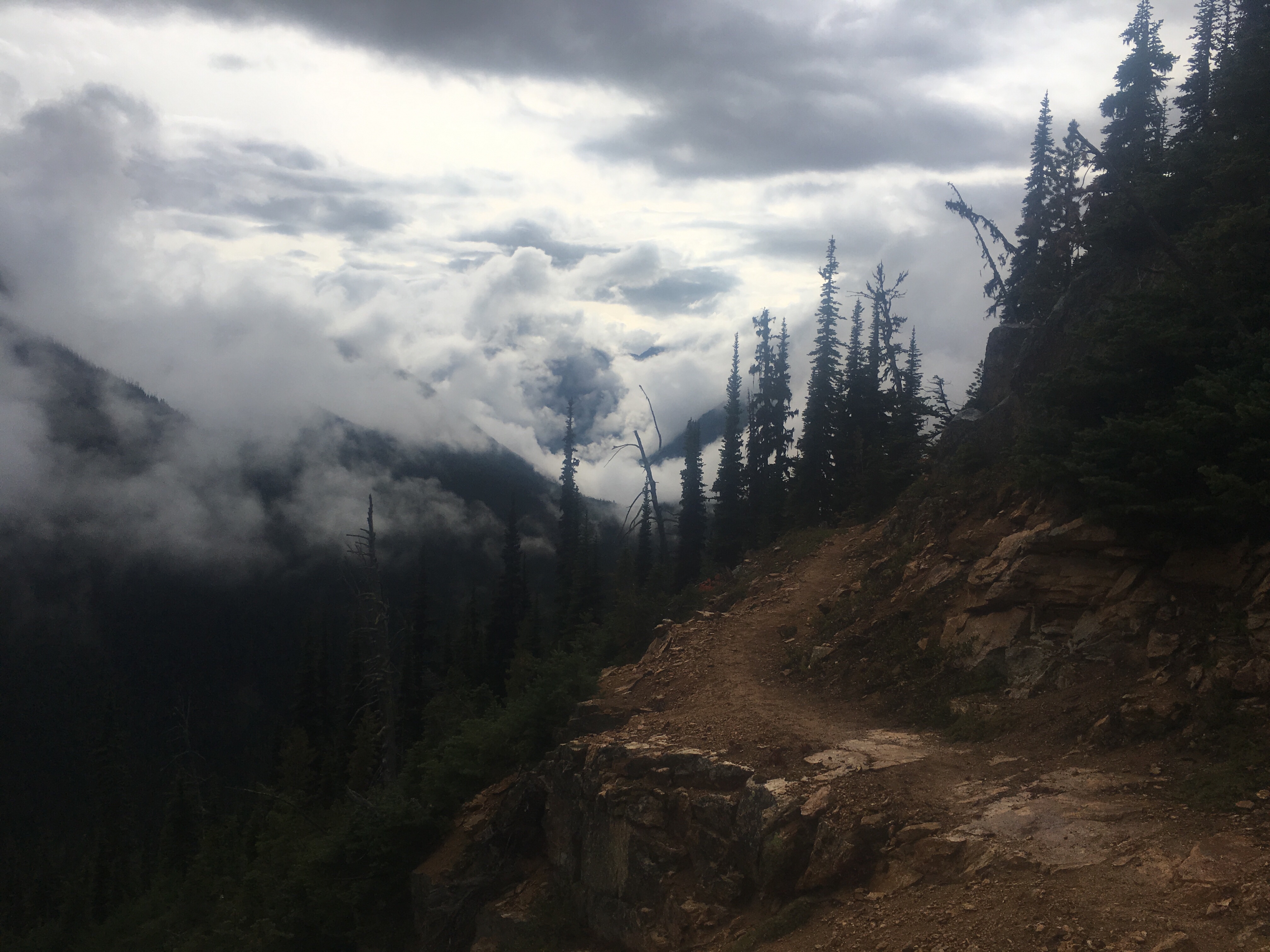
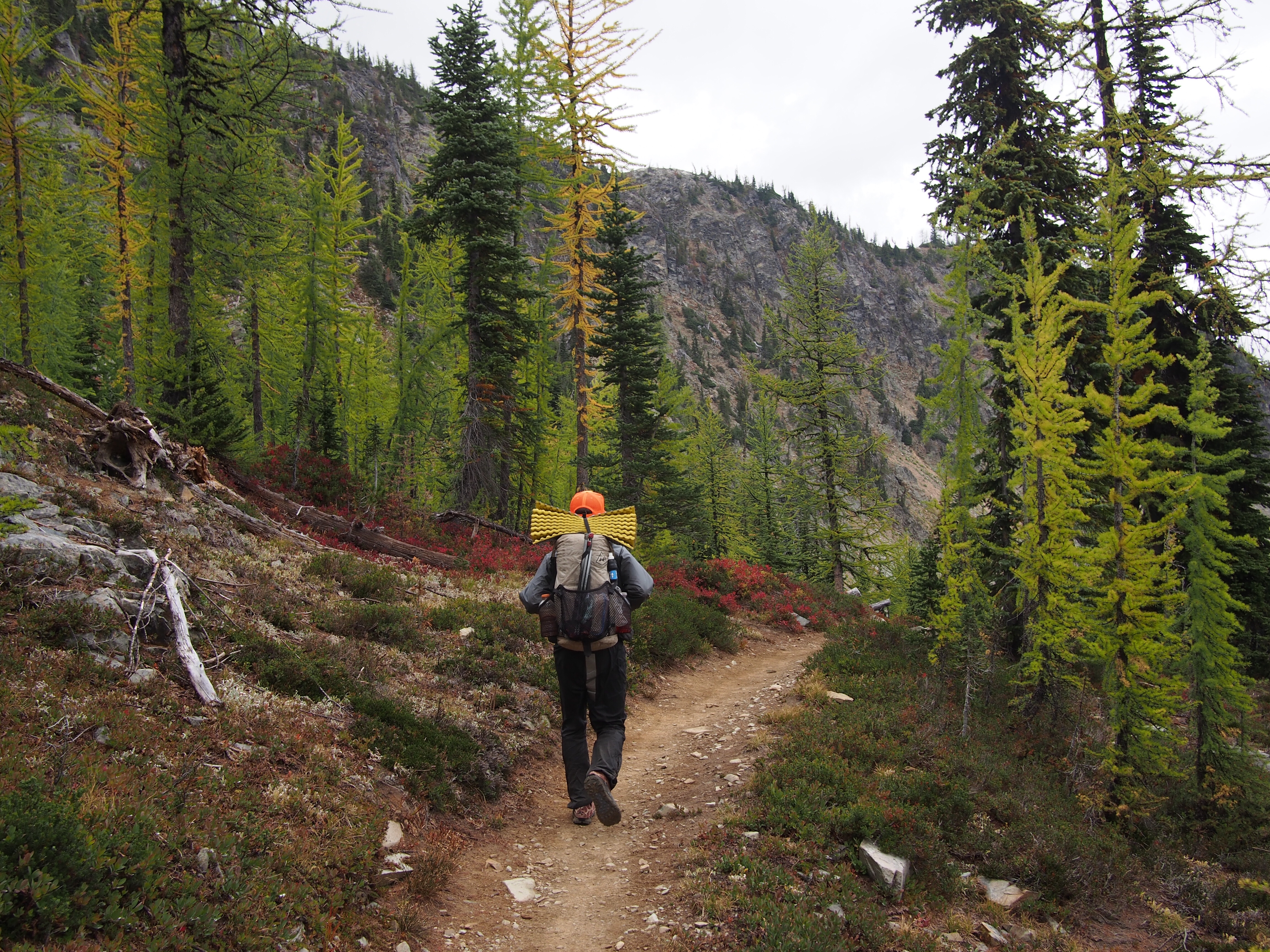
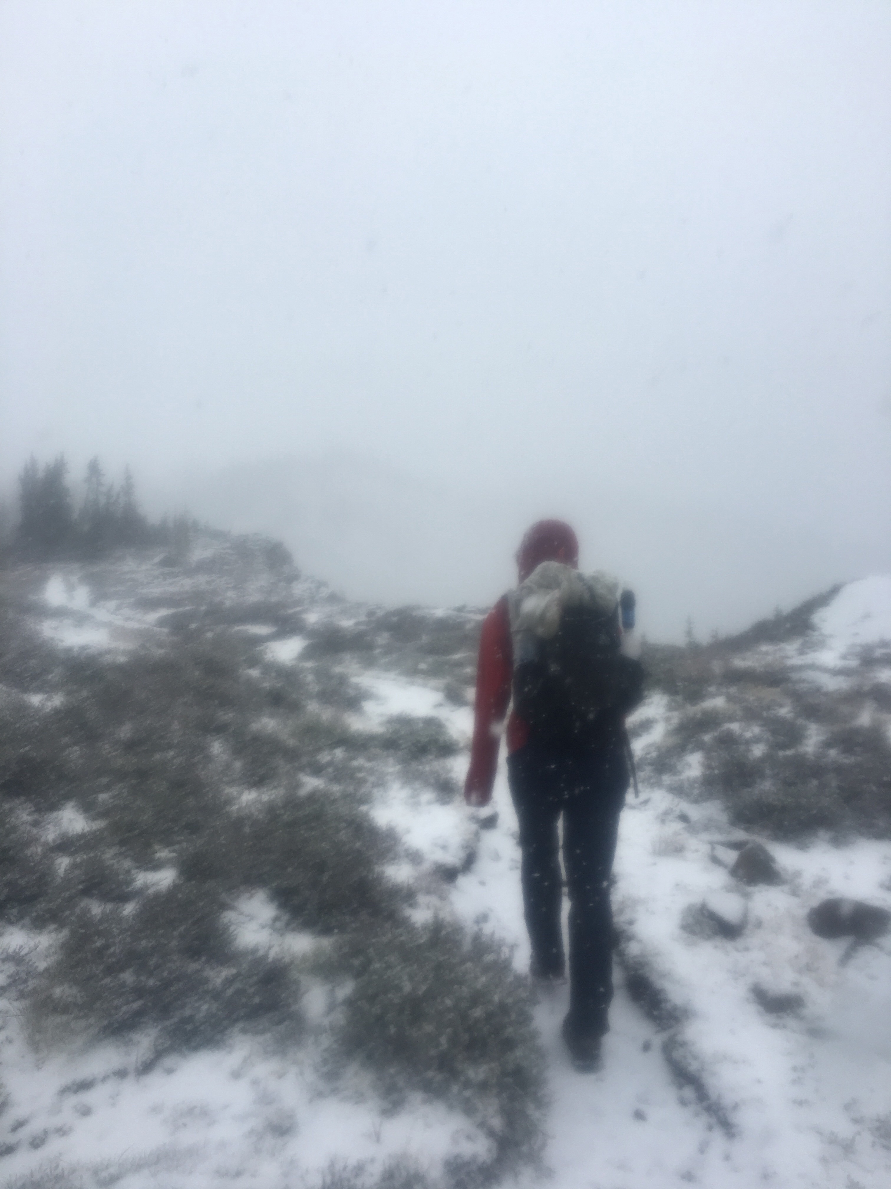
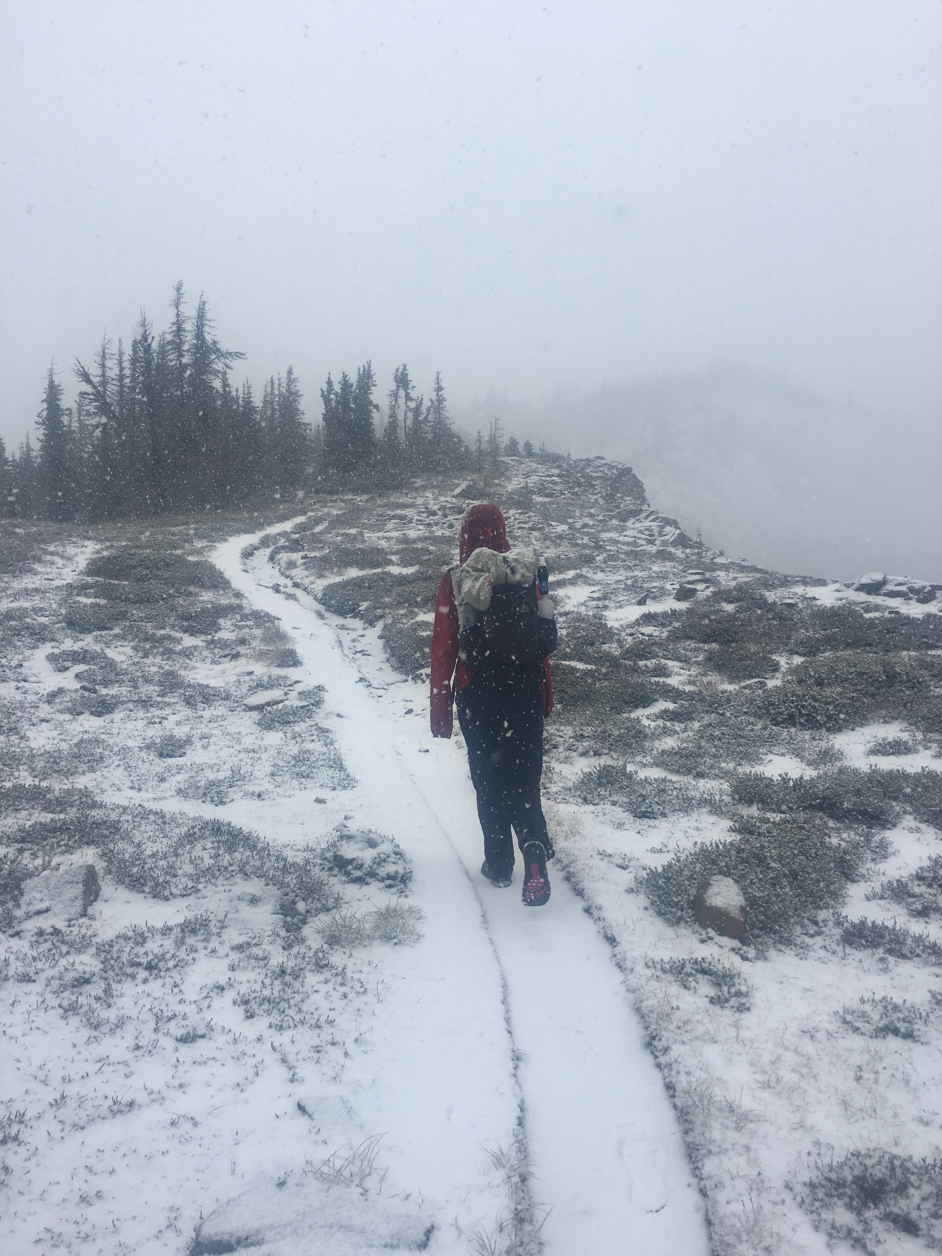
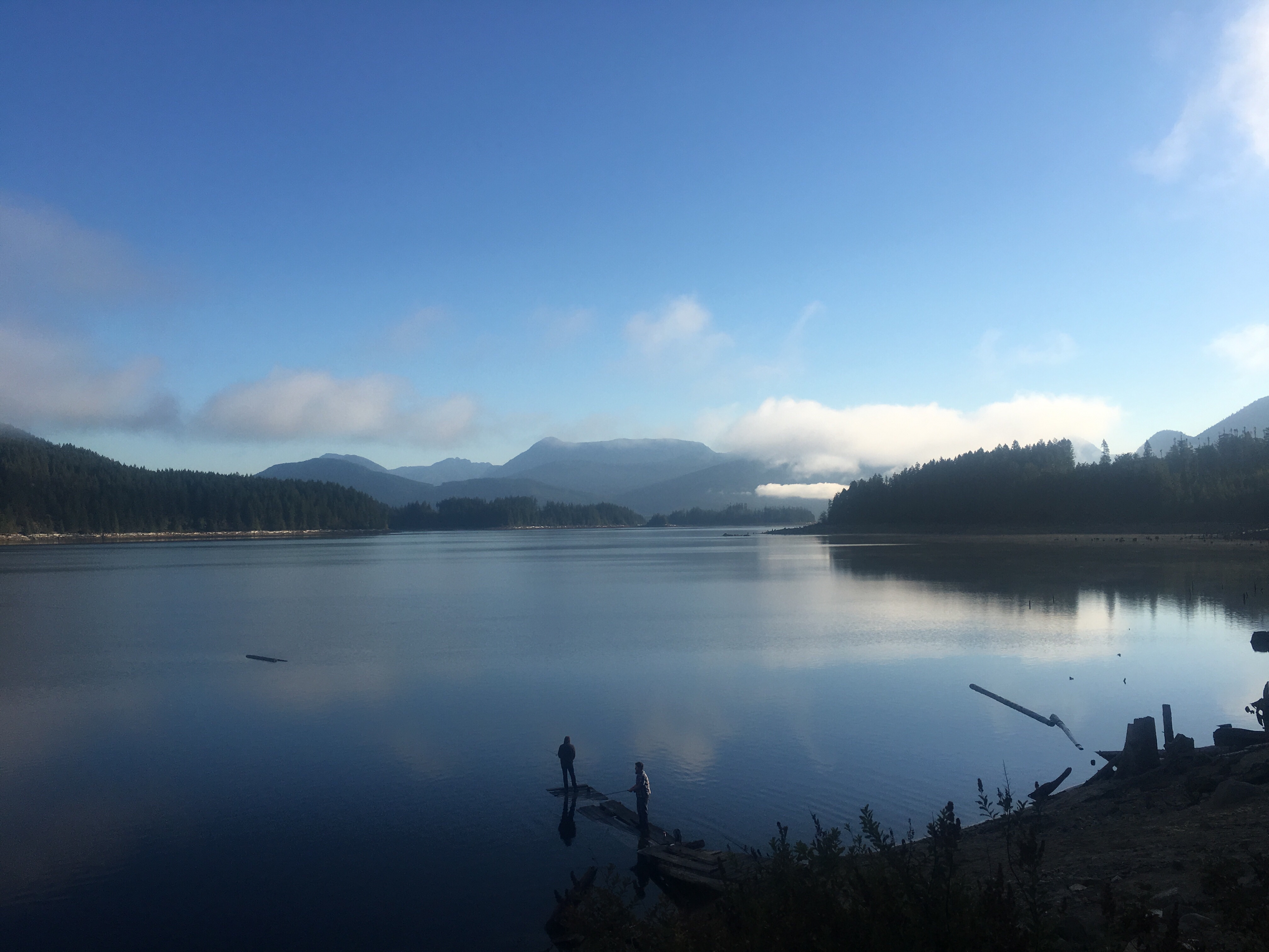
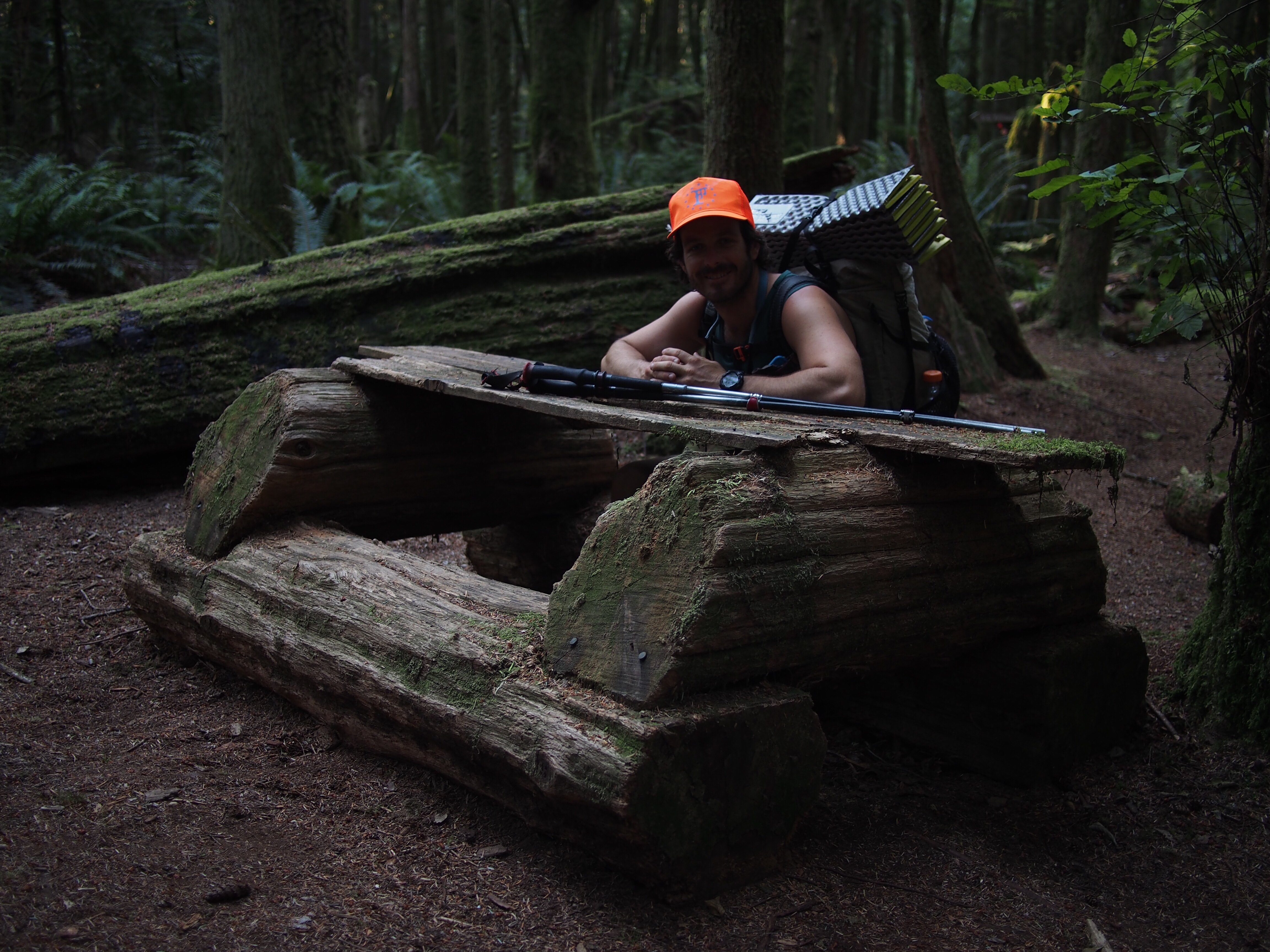
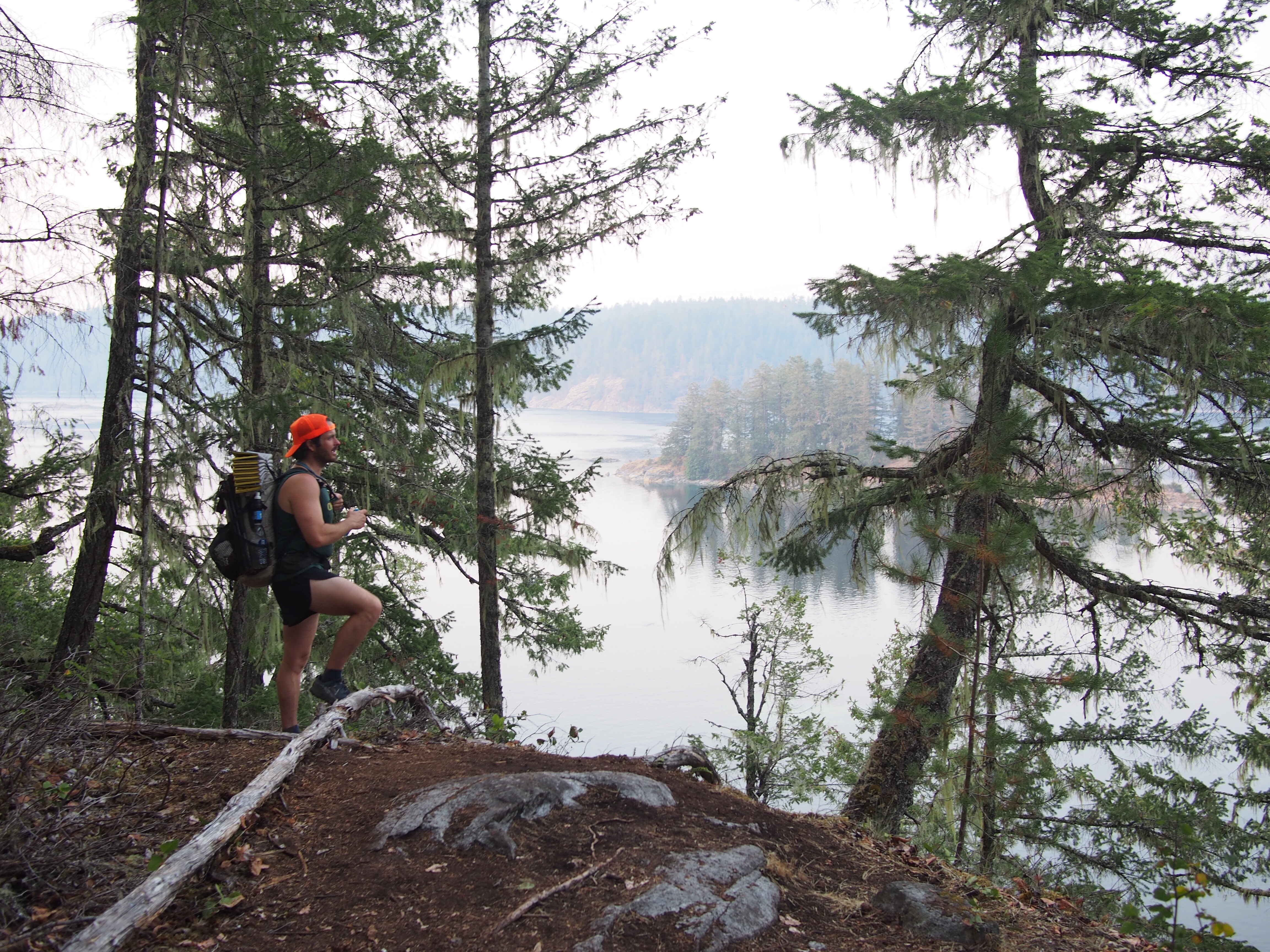
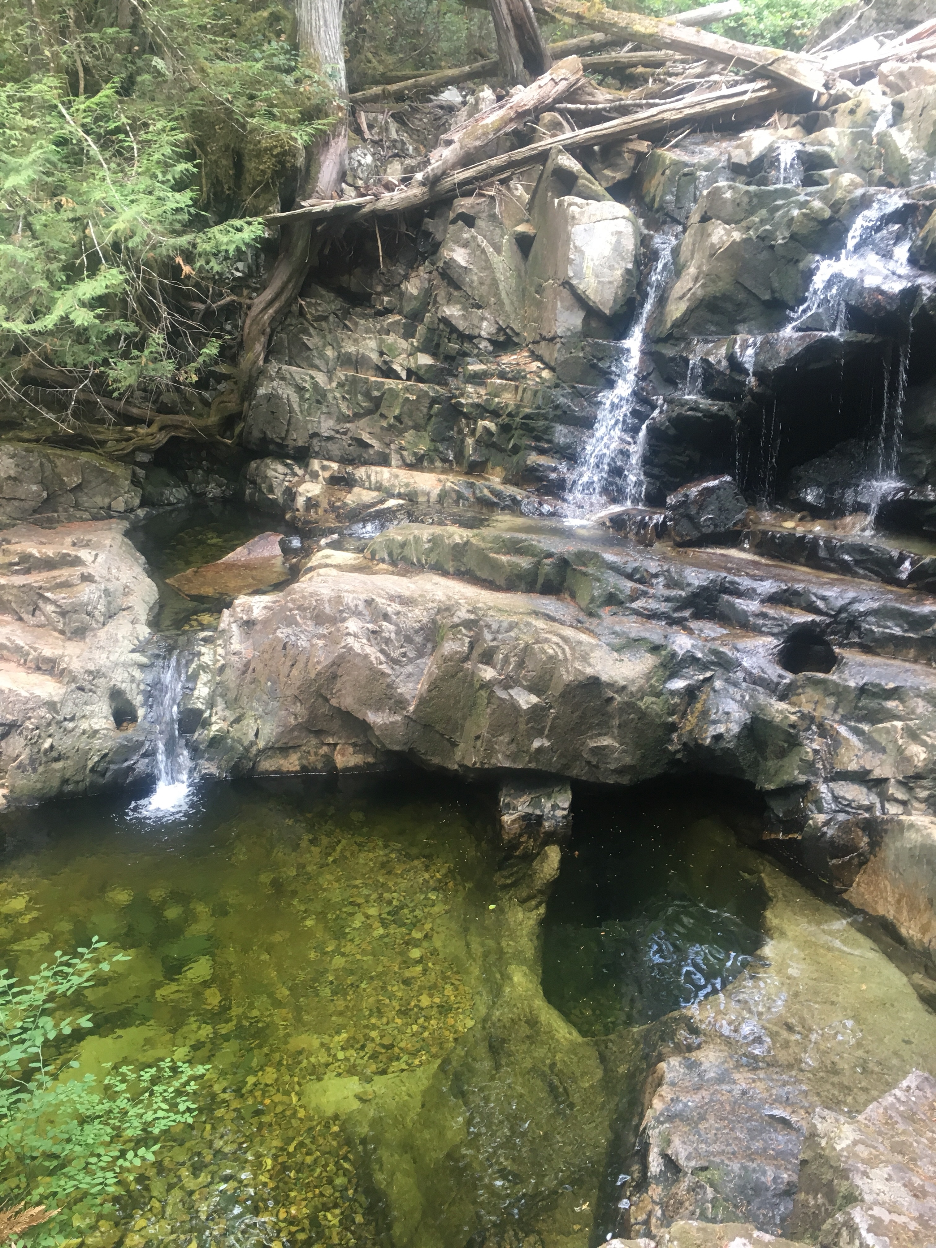
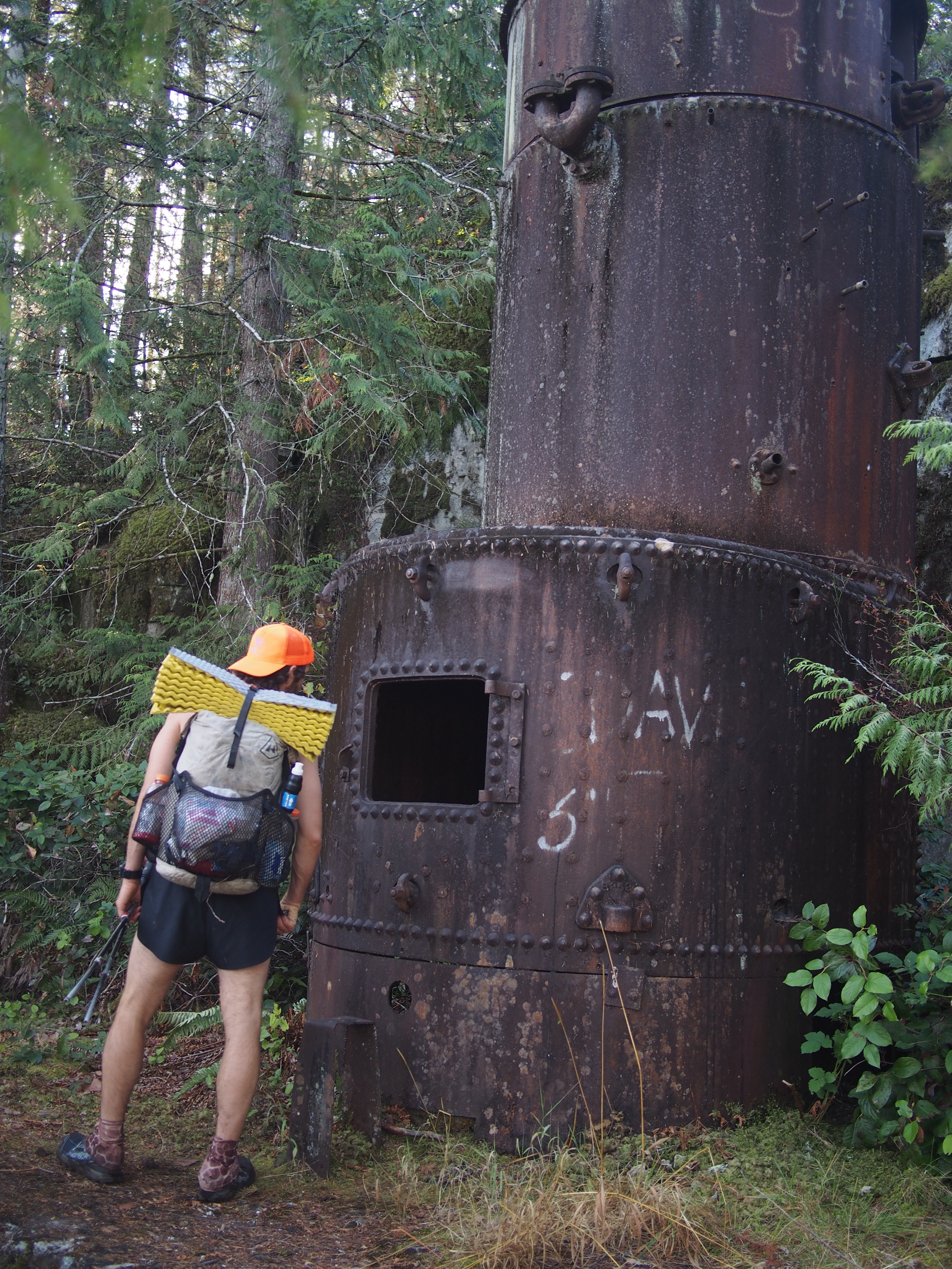
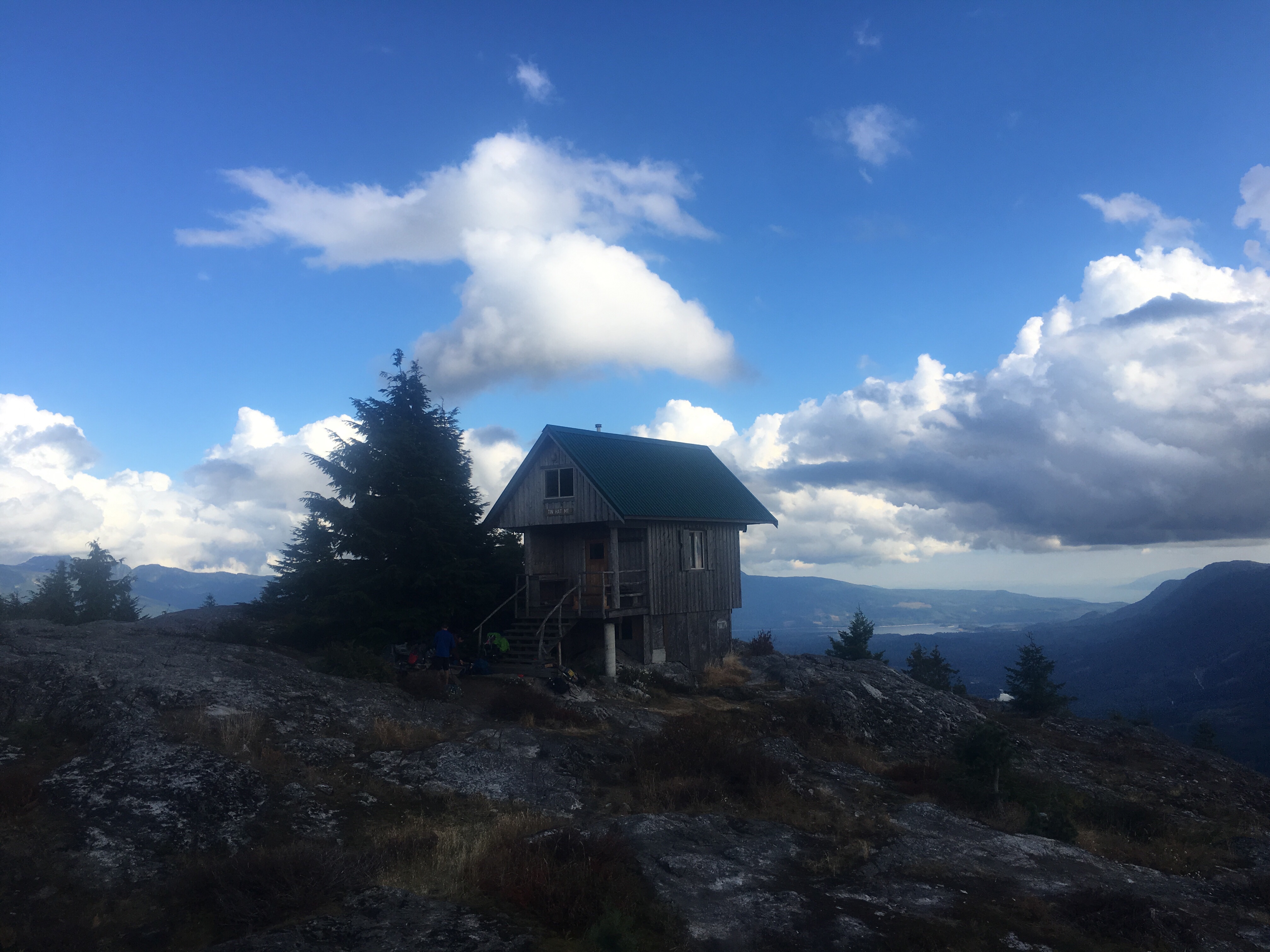
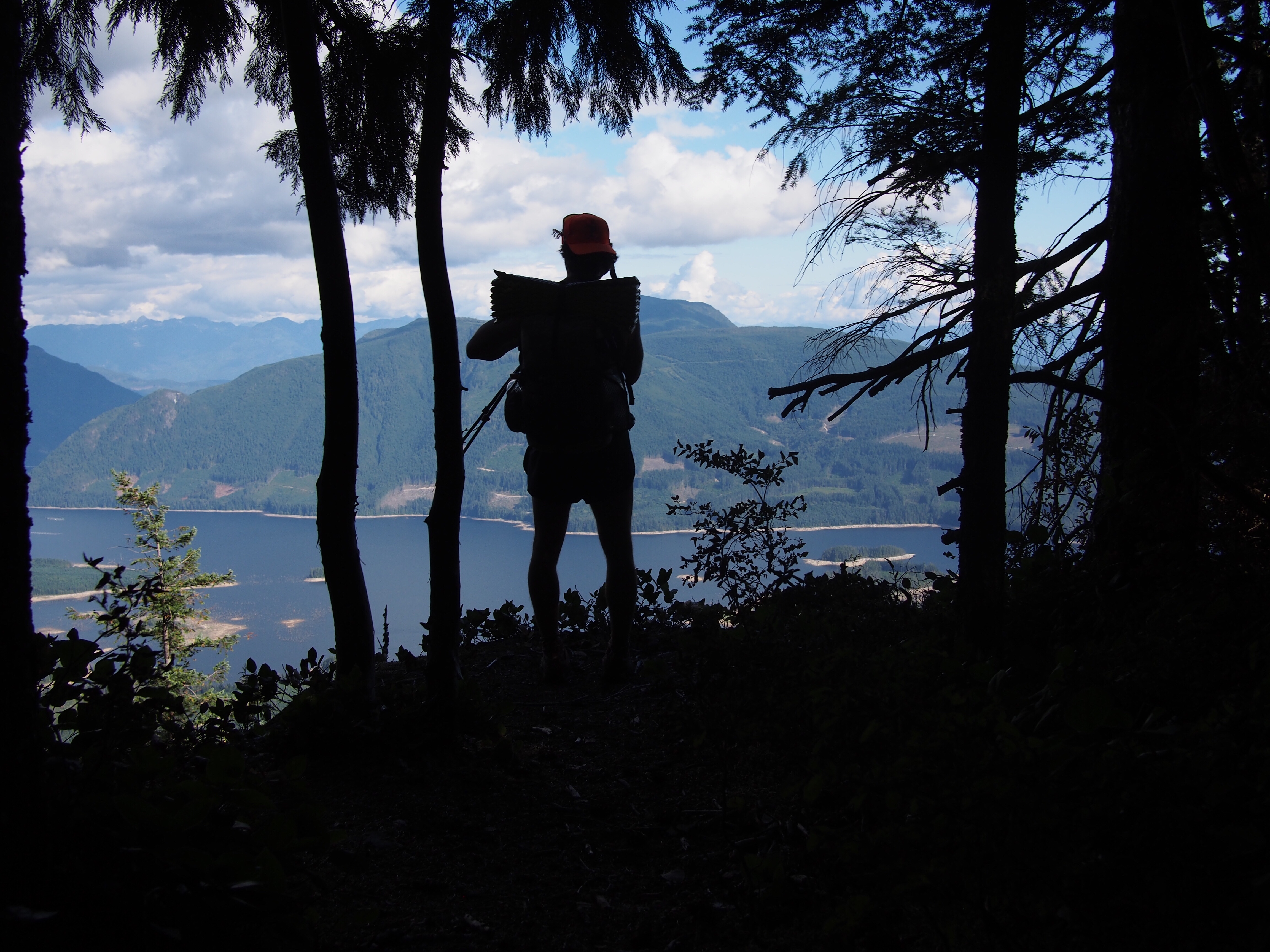
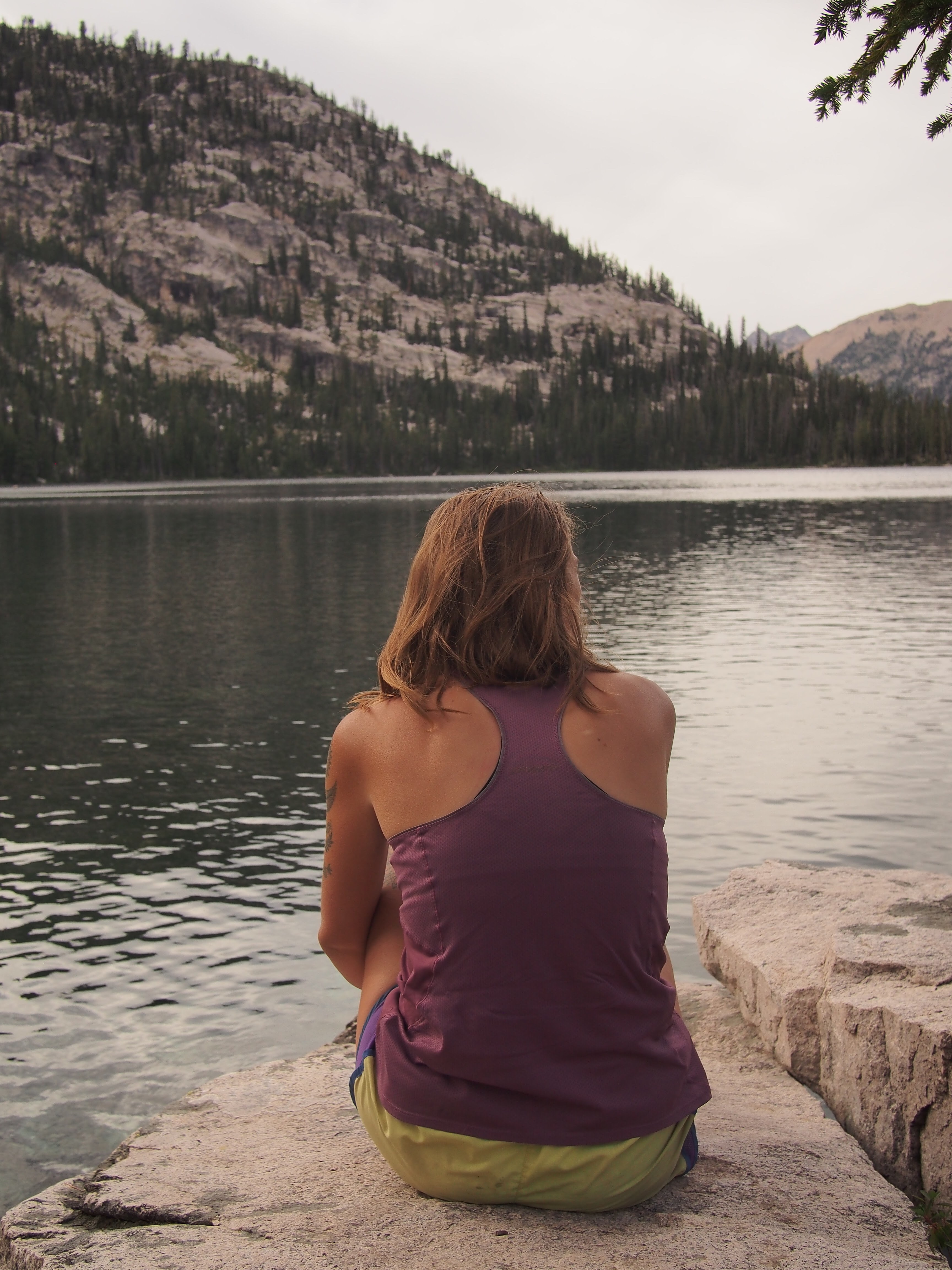 If you’re still reading let me give you a little background. We’ve been driving west across the U.S. for the past week and half hiking, running, catching up with friends, checking out new places, and sleeping in the back of our Subaru while trying to tip toe delicately through the country in the time of COVID. Today we woke up in our friends Tami and Kasey’s driveway in Boise and drove a few hours to the Sawtooth Mountains in Central Idaho. I’ve been meaning to explore these mountains since I first hitchhiked through the state 5 years ago. Sara’s never been here either so this place is brand new to both of us. From the Tin Cup Trailhead outside the town of Stanley we walked about 10 miles into some amazing scenery. The trail is well graded and the walking was simple. Since the trail wasn’t too strenuous we took our time stopping to drink out of ice cold springs and taking in the views. Right away there were mountain lakes, then waterfalls, and jagged peaks like the teeth of a saw(hence the name). We started the first loop going counter clockwise, climbed up to Sand Mountain Pass then down to the intersection of the second loop. For the second loop we’re going clockwise and camped at the first lake we came to; Edna Lake. We got a sweet spot on a little peninsula and the tent is tucked in between some big rocks and pine trees. The lake is bright blue, clear, and cold. Just the way I like it and perfect for an evening swim. Supposedly there will be a meteor shower tonight, ‘the Perseids,’ so fingers-crossed the sky is clear and we stay awake for a few shooters.
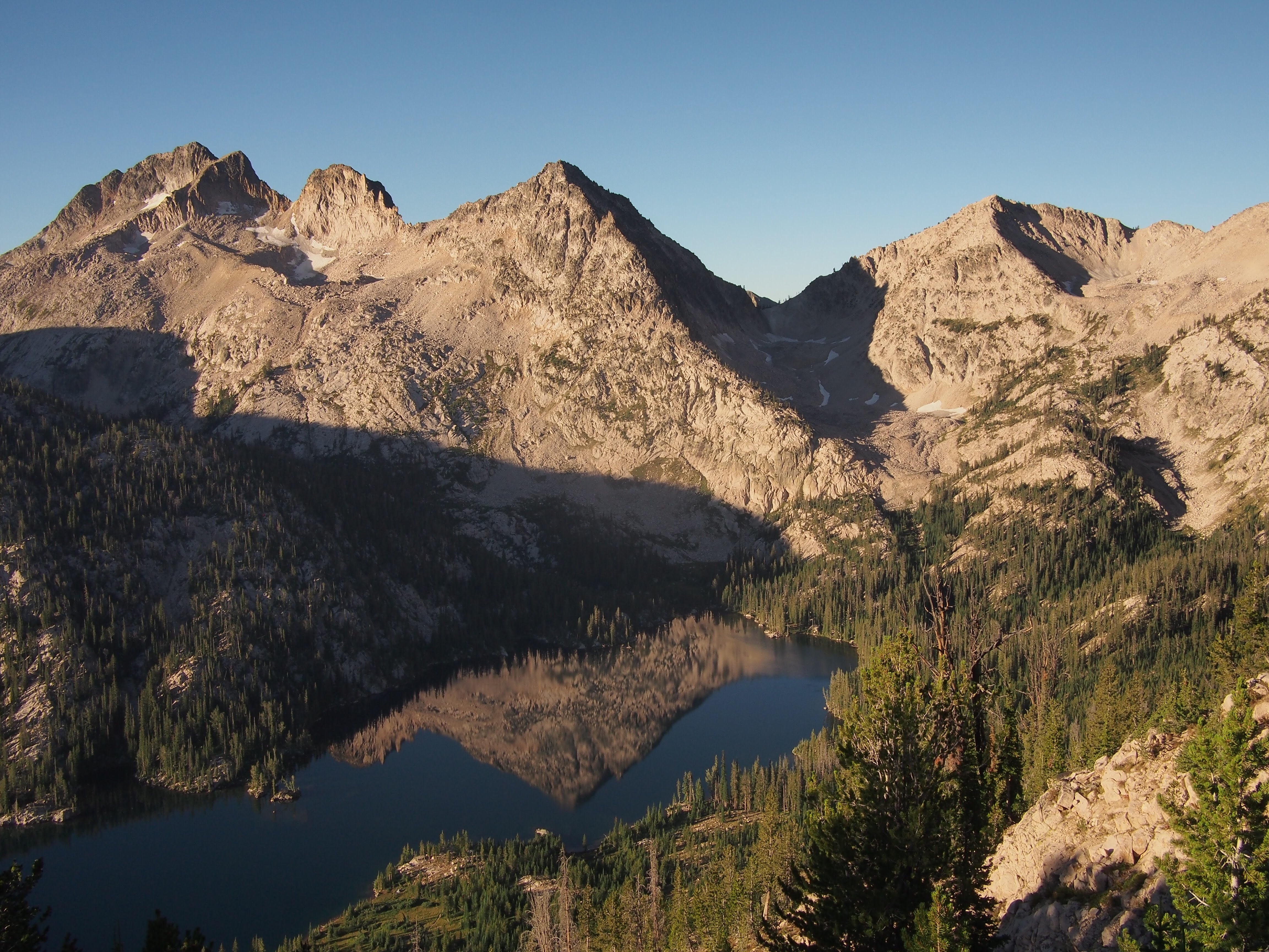

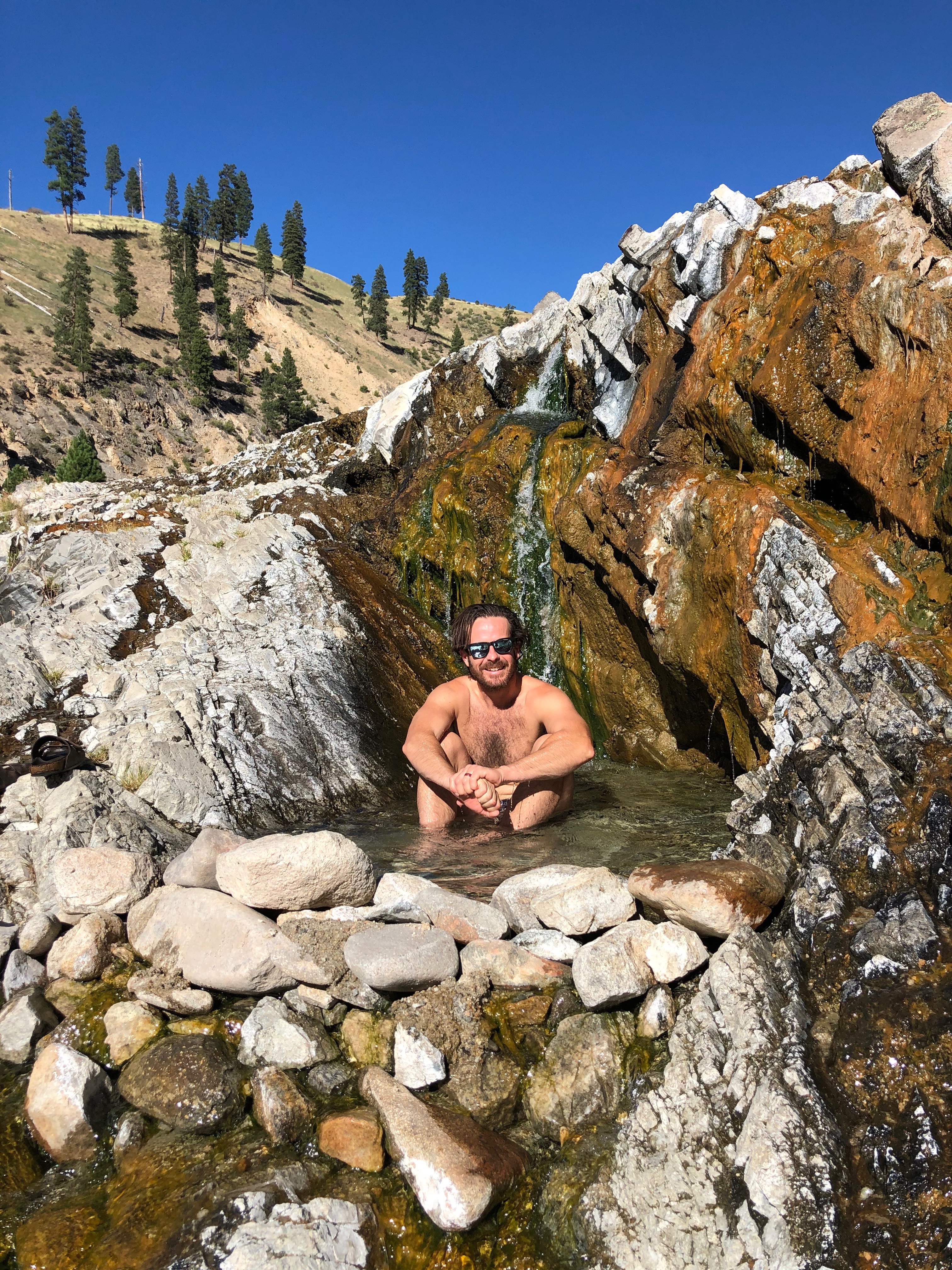 Kirkham Hot Springs
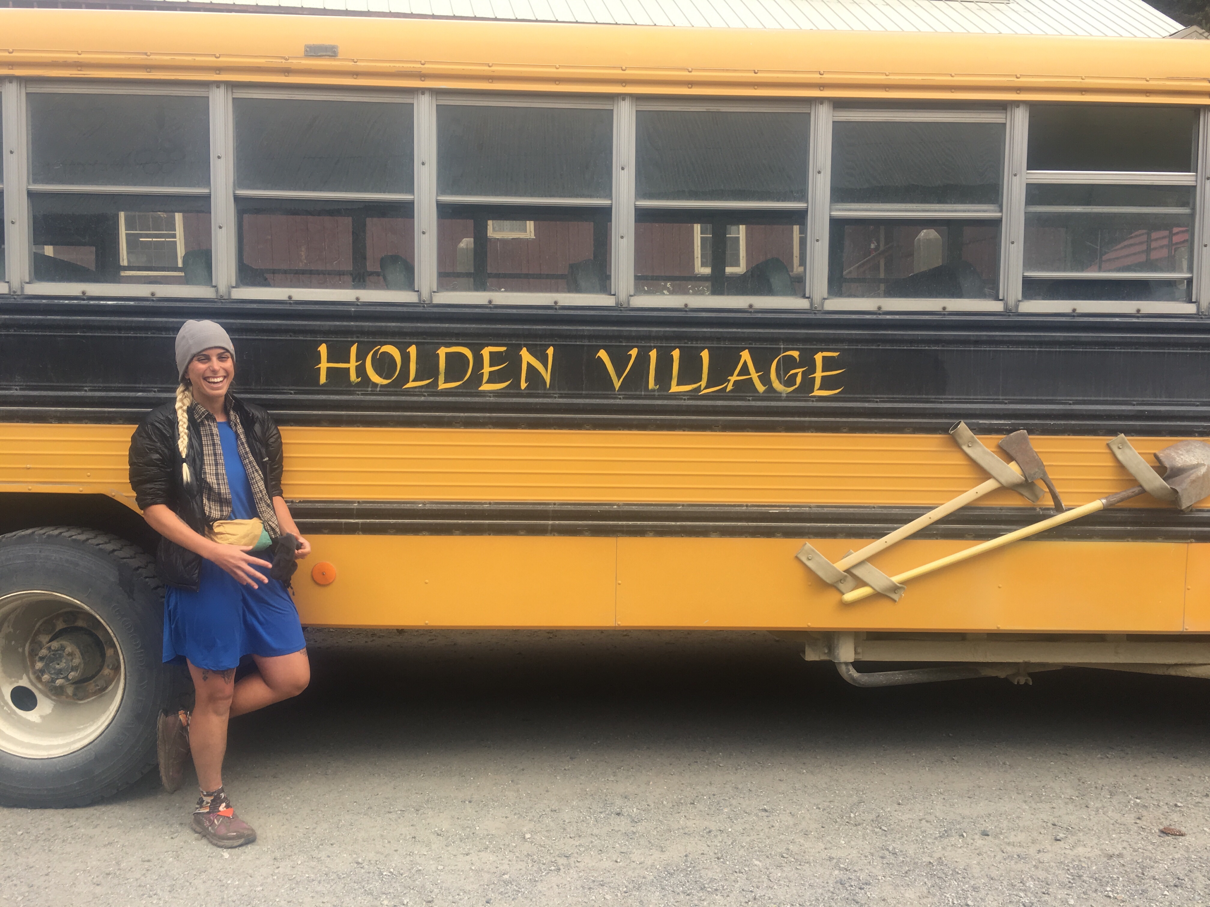
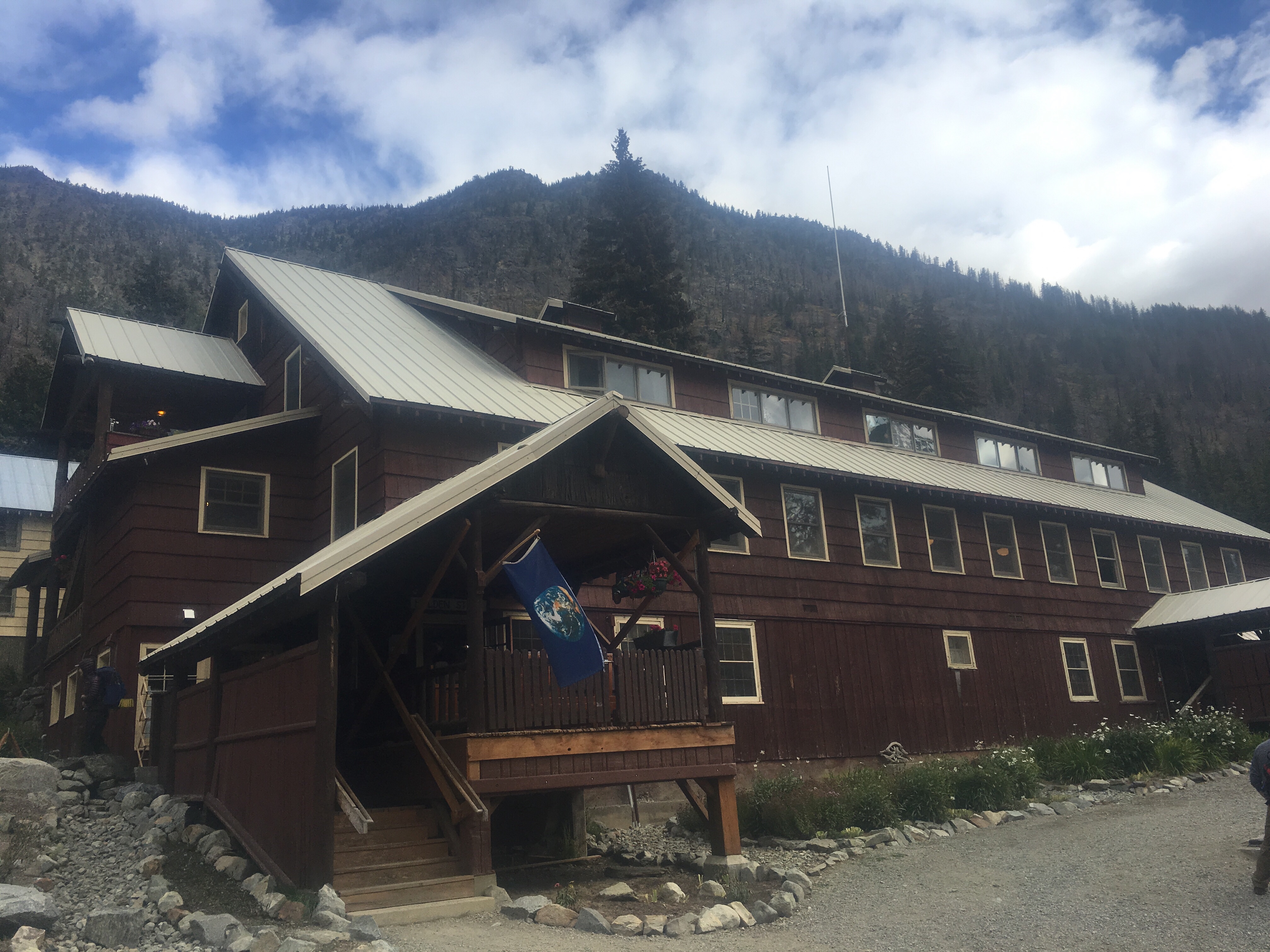
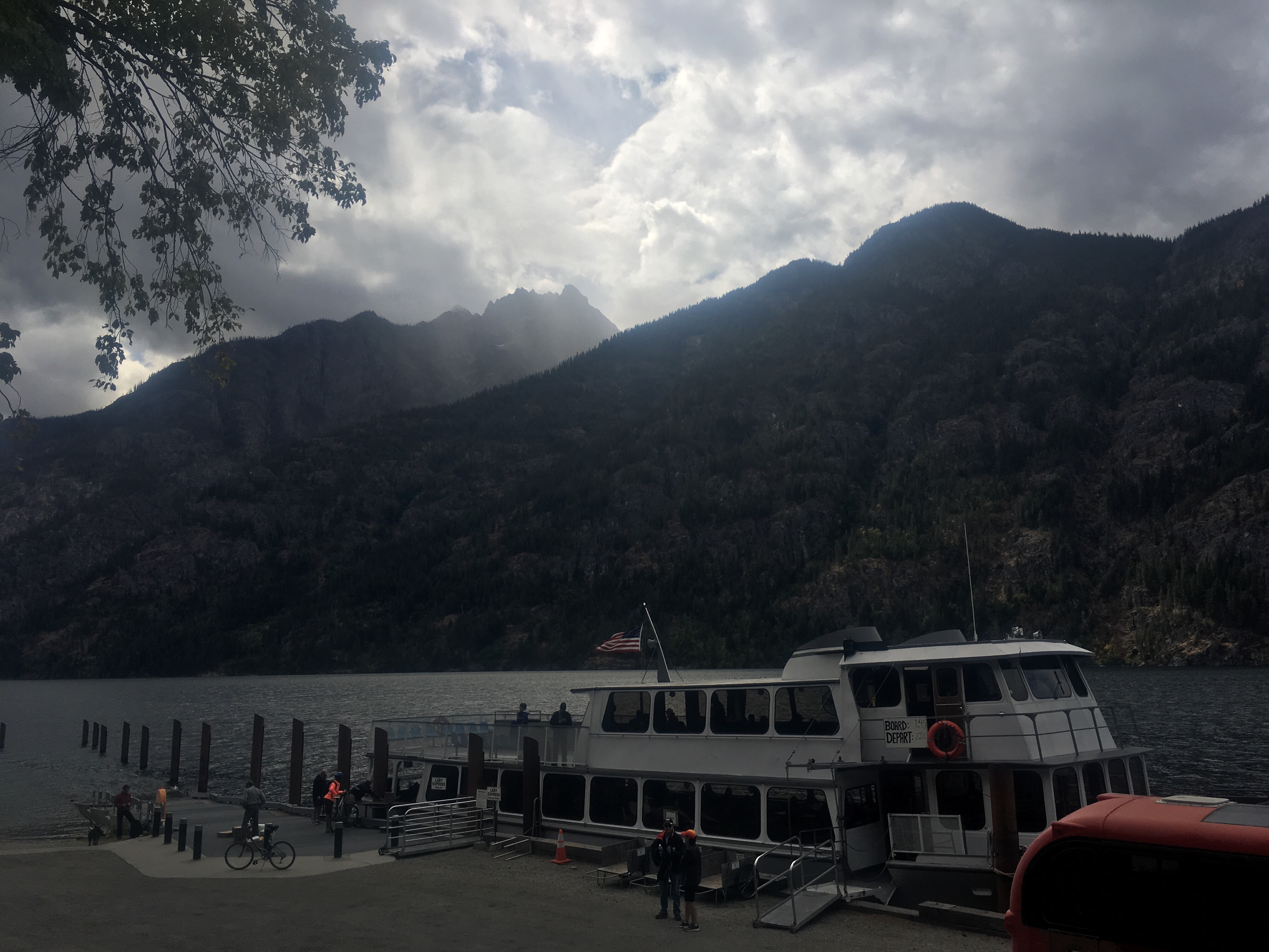
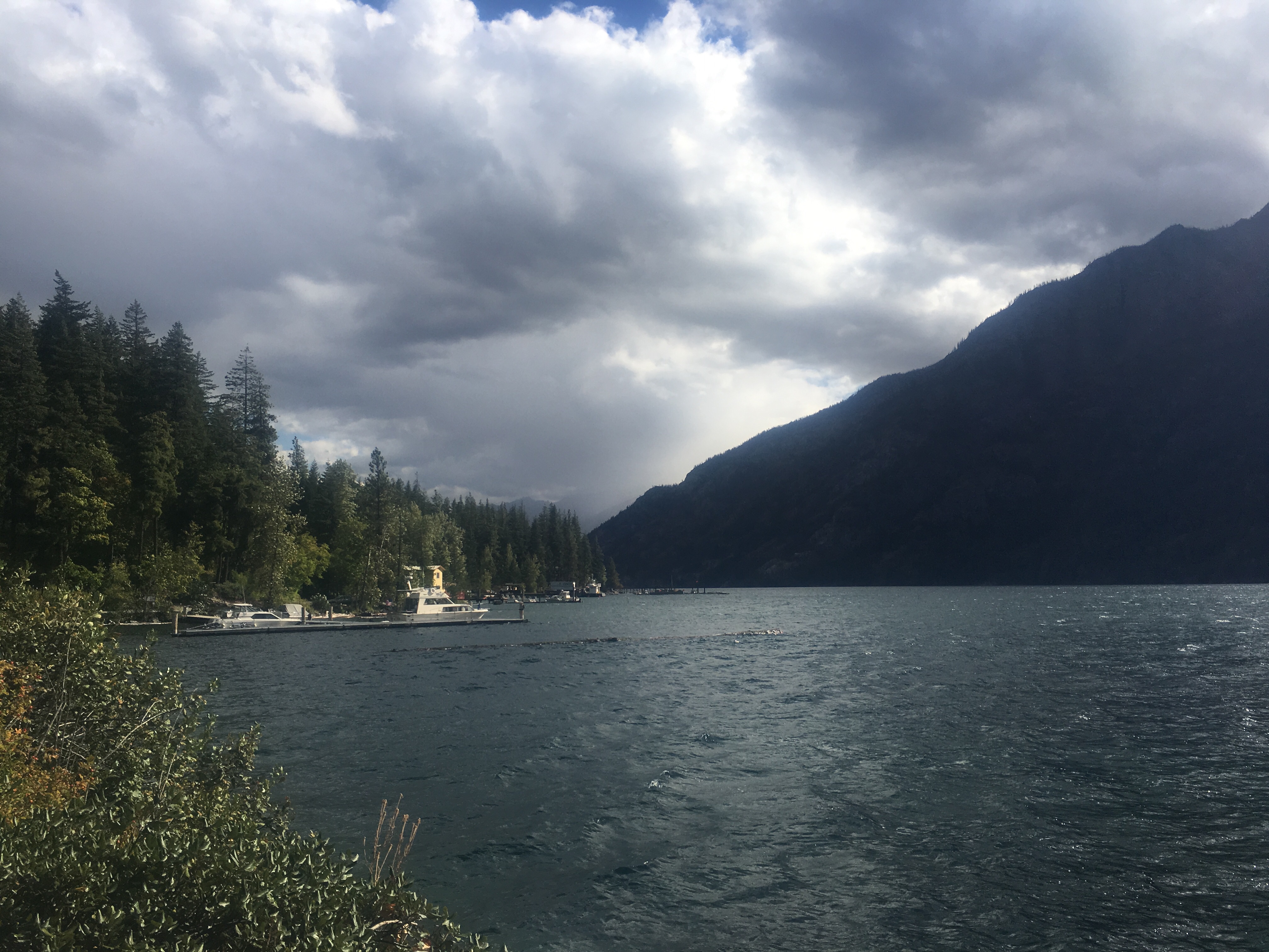
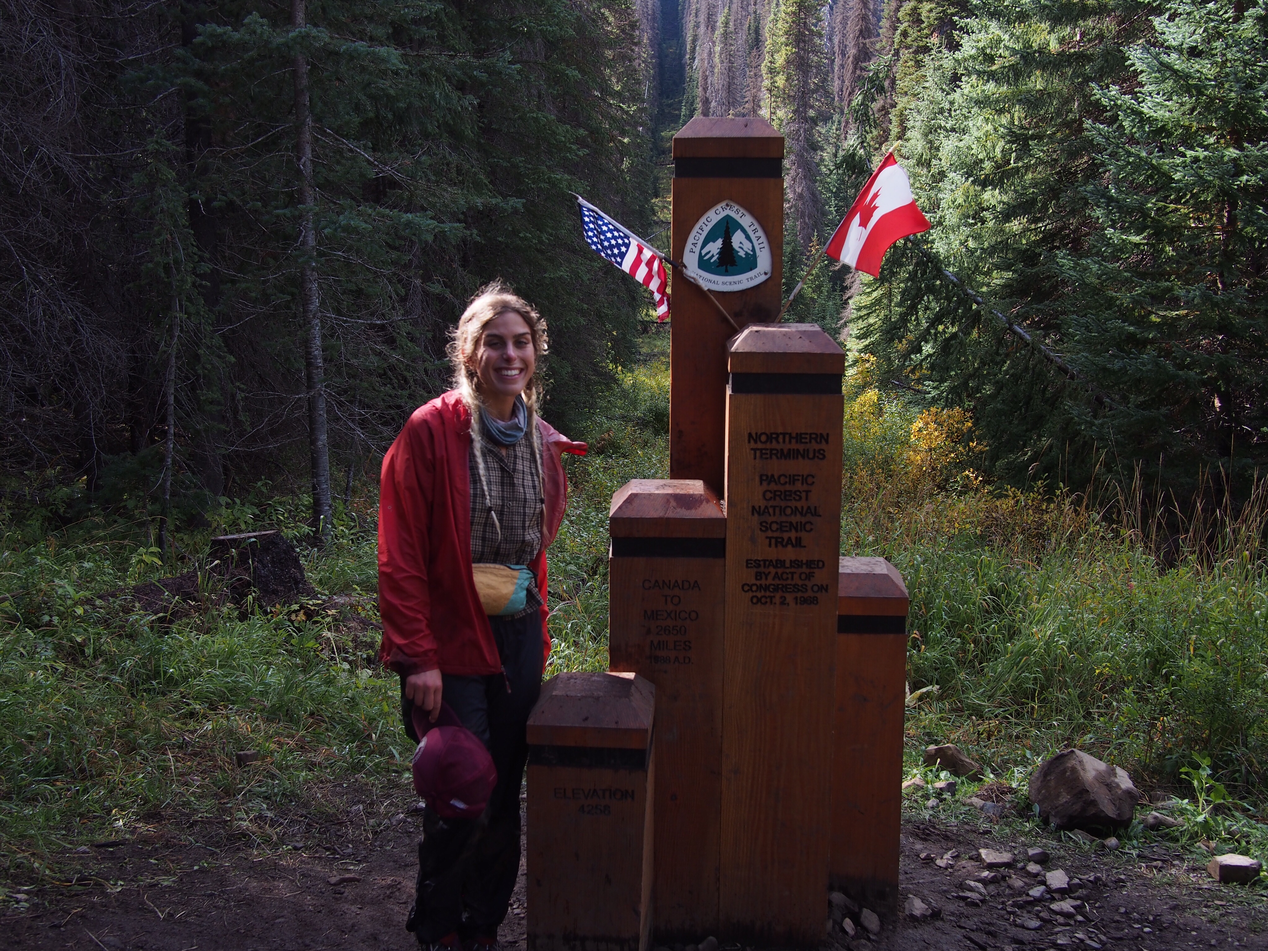
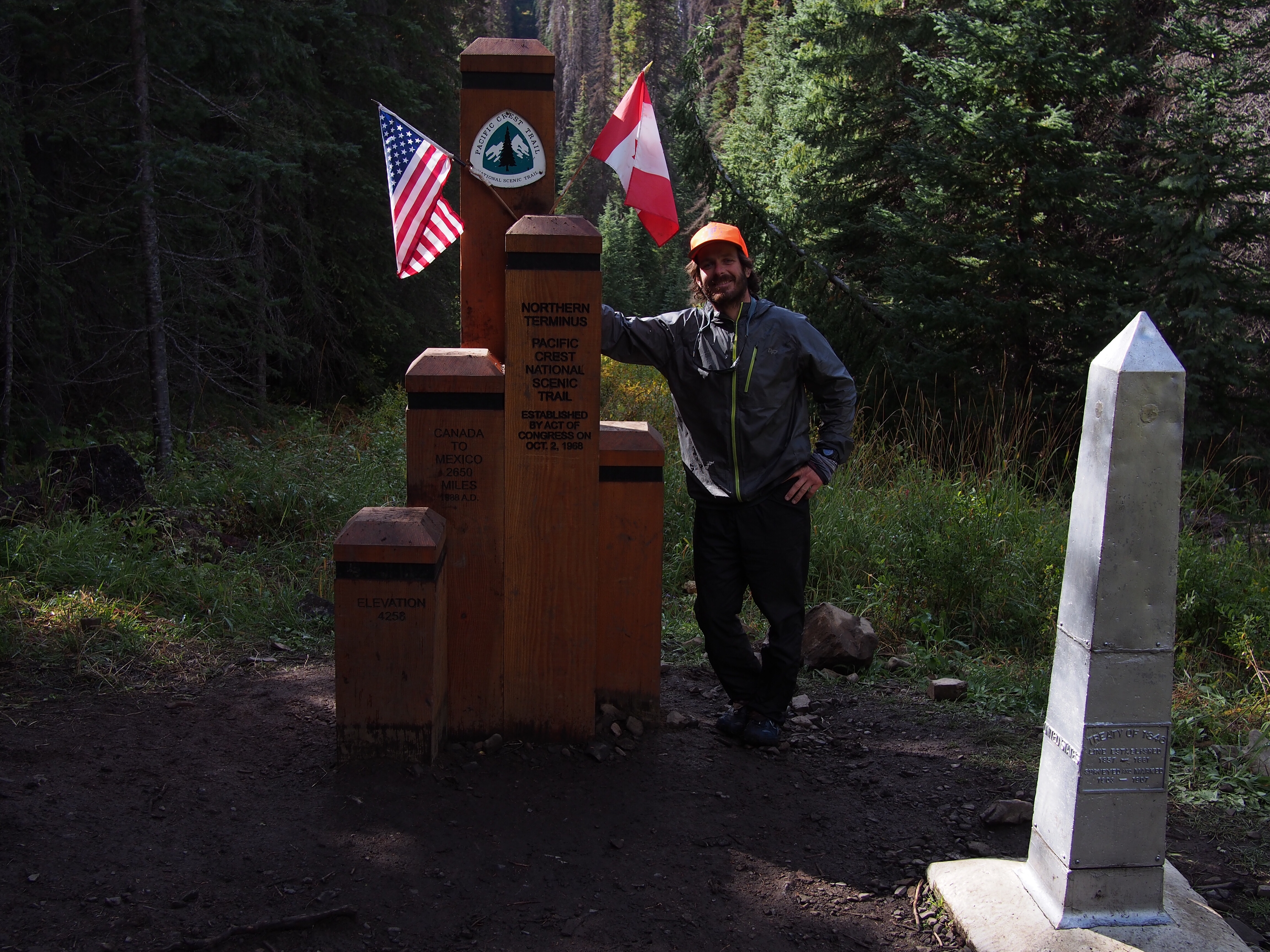
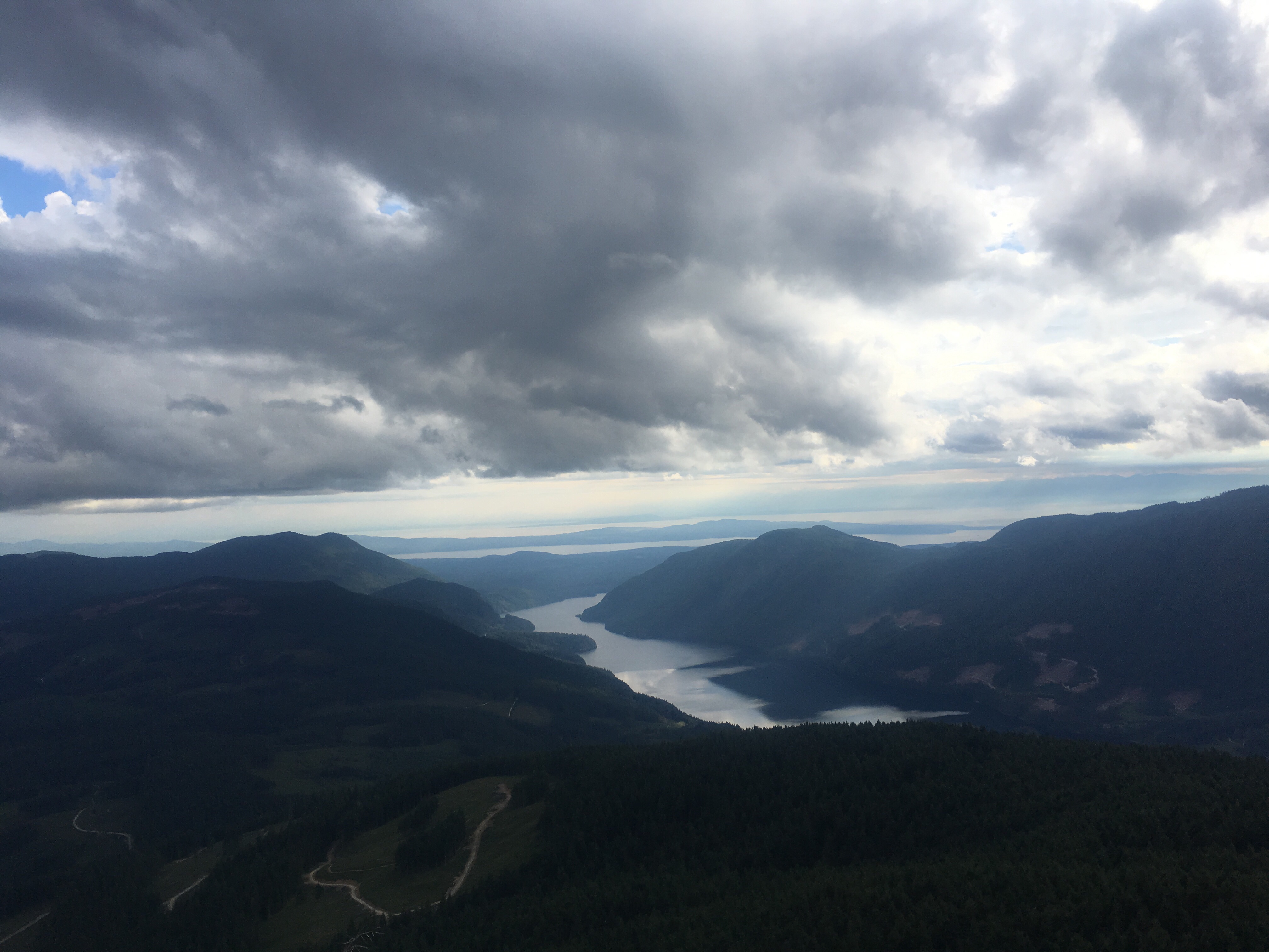
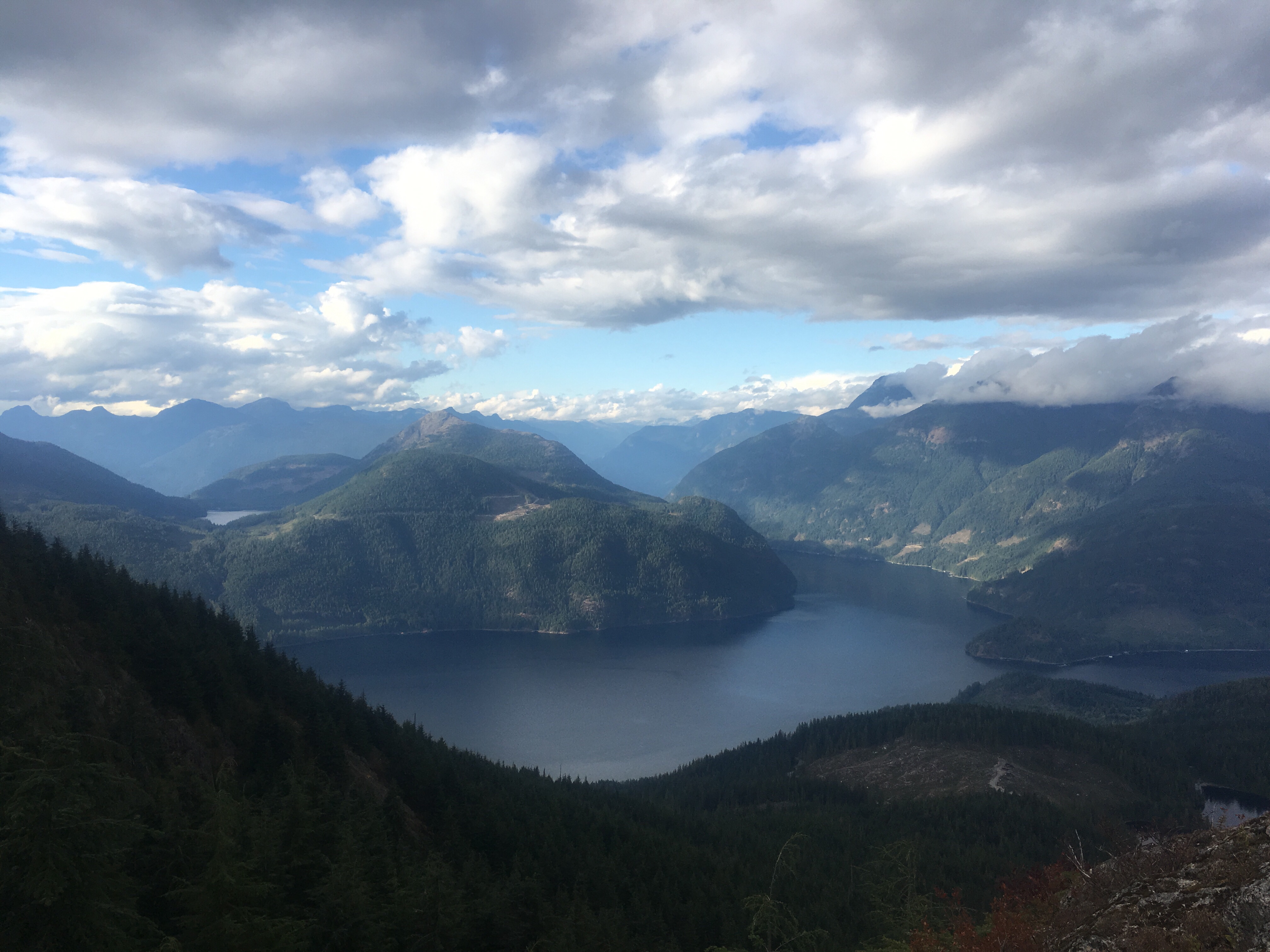
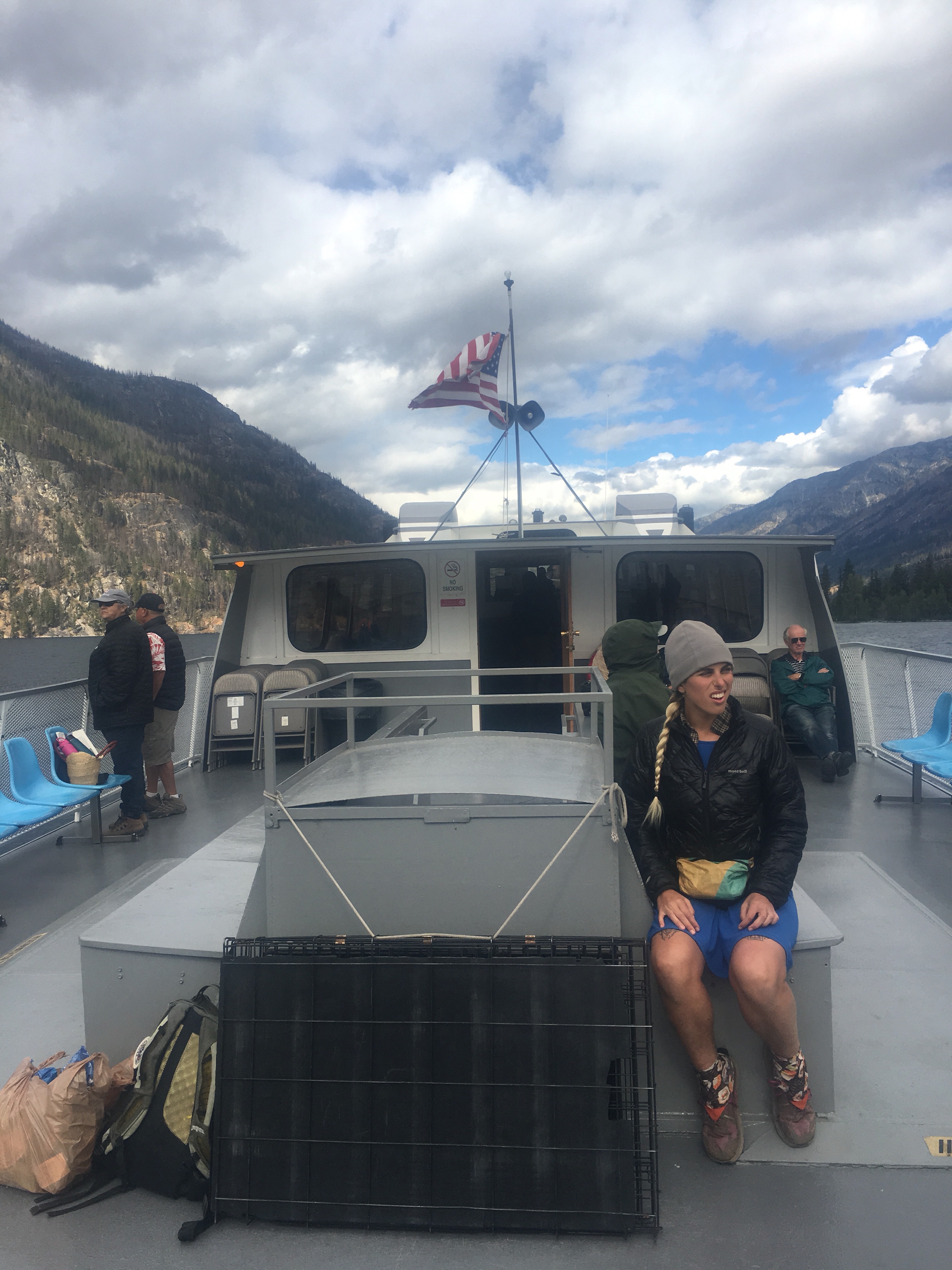 Lake Chelan is a narrow and extremely long and deep lake surrounded by mountains. Someone told me that it’s a fjord but I’m not exactly sure what that means. Stehekin is a tiny town that sits at the top of the lake and is usually the last stop for PCT’ers. It’s a really cool little place, inaccessible by road, it’s a very remote little vacation town for some people. Or I guess people live here year round too.


 feel free to follow this blog or follow me on insta @endlesspsummer and Sara(QB) at @sarahikes


 Feel free to follow me on insta for more pictures @endlesspsummer and Sara or QB @sarahikes
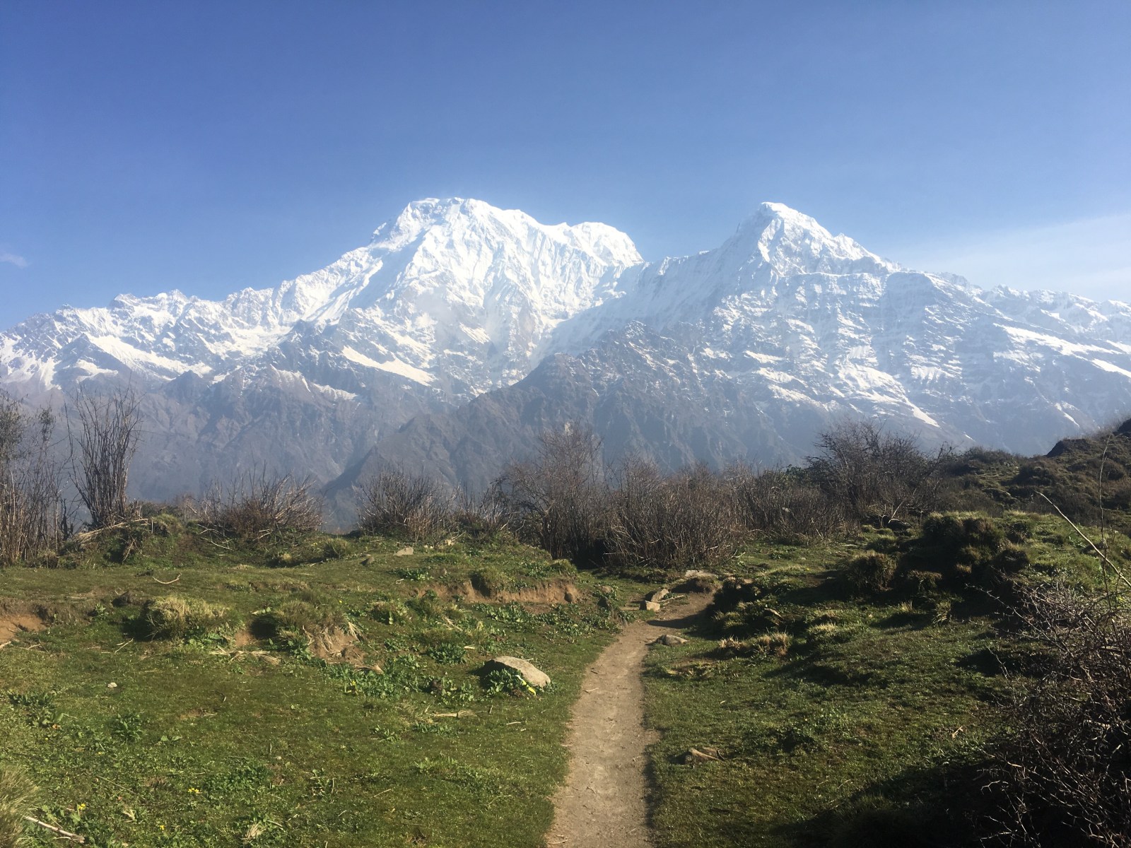
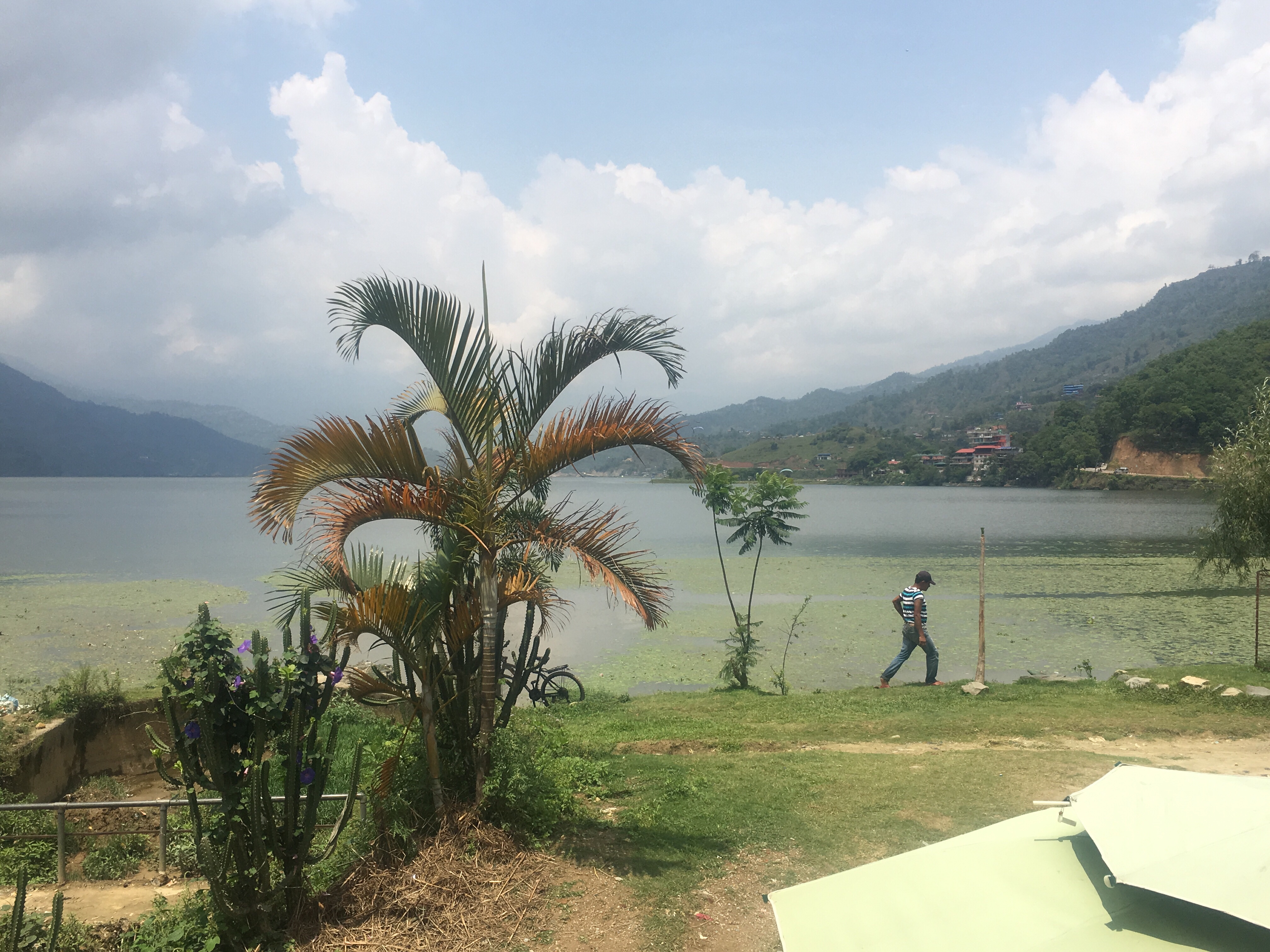
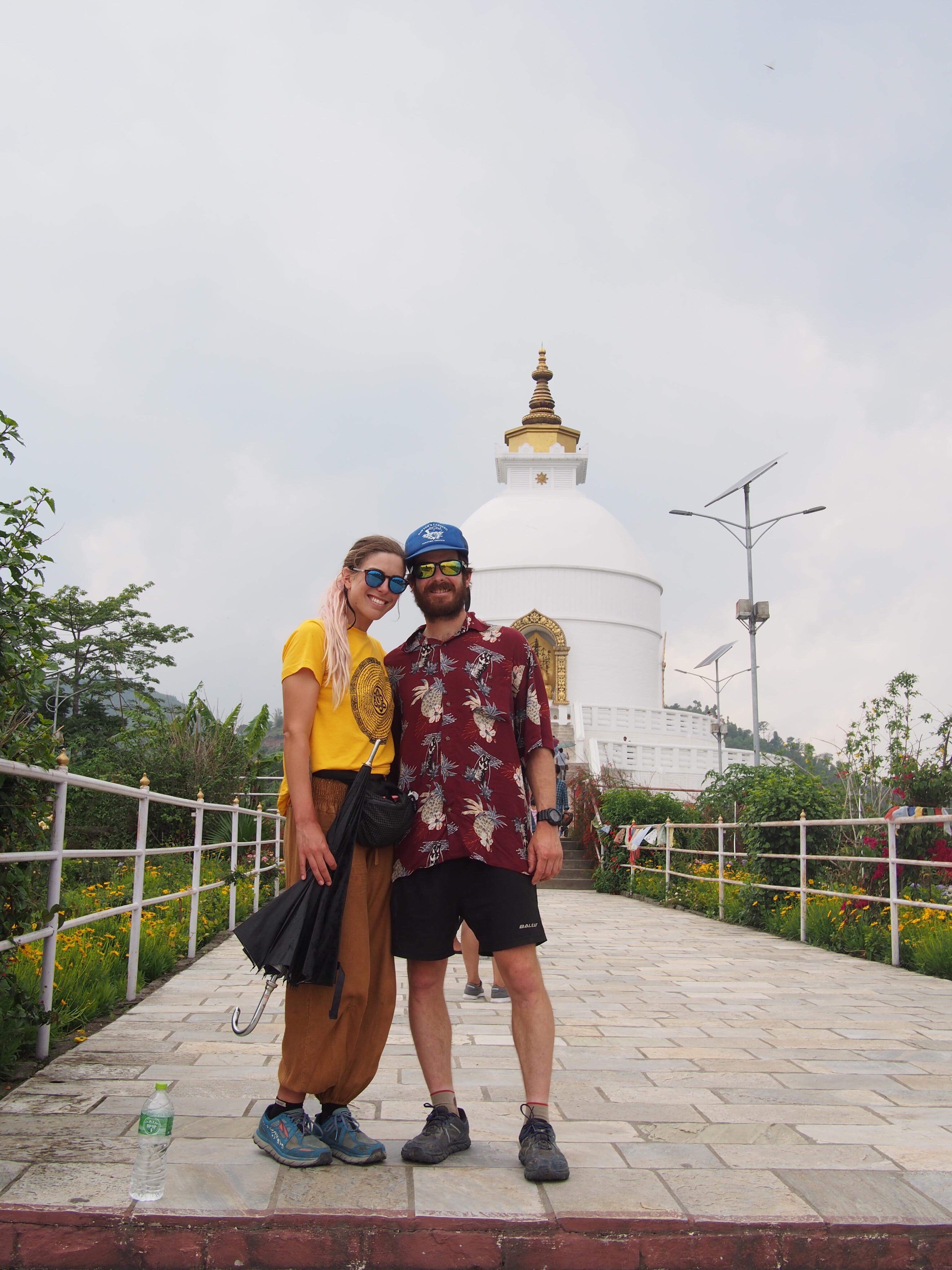 World Peace Pagoda, Pokhara
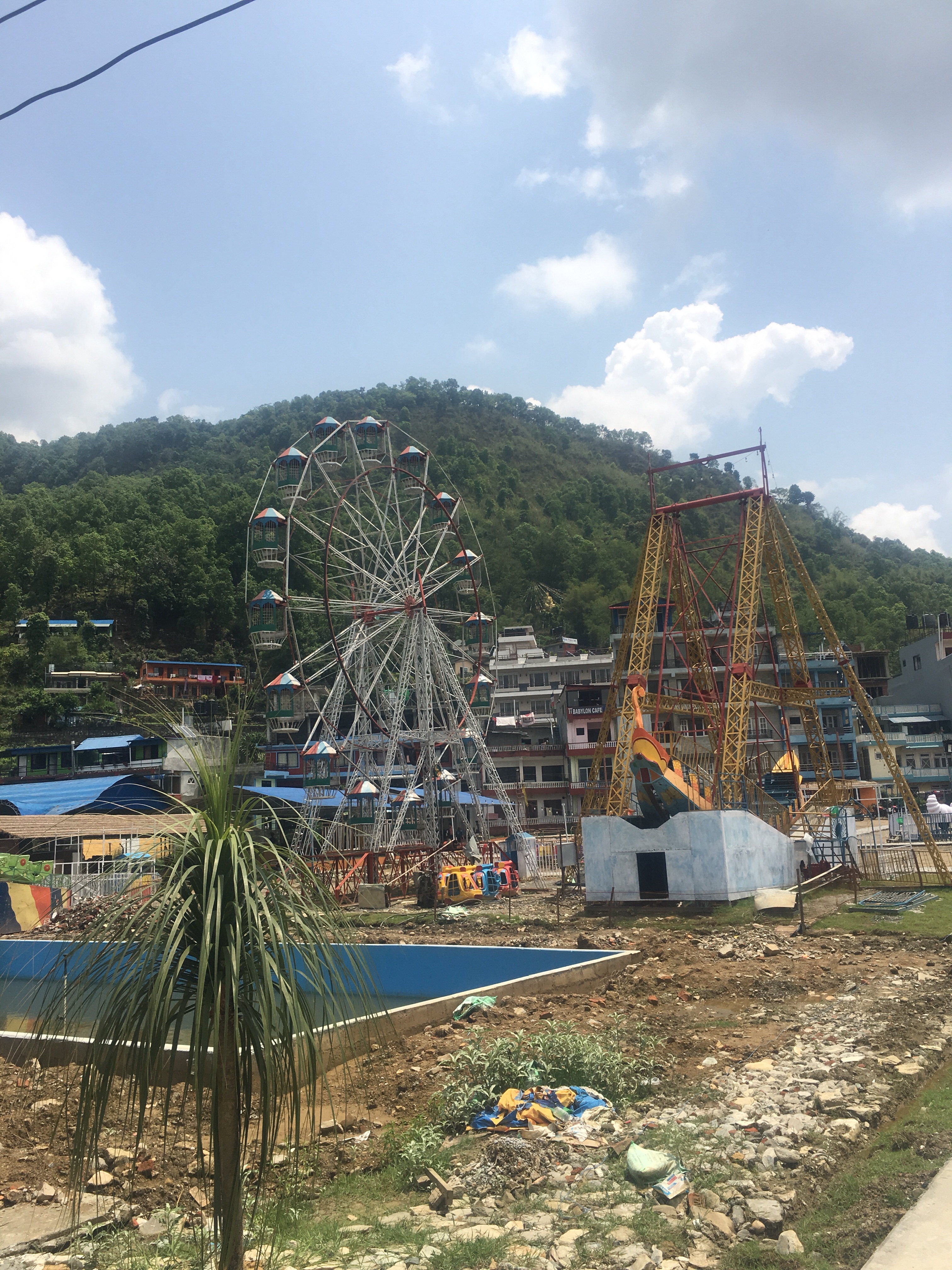


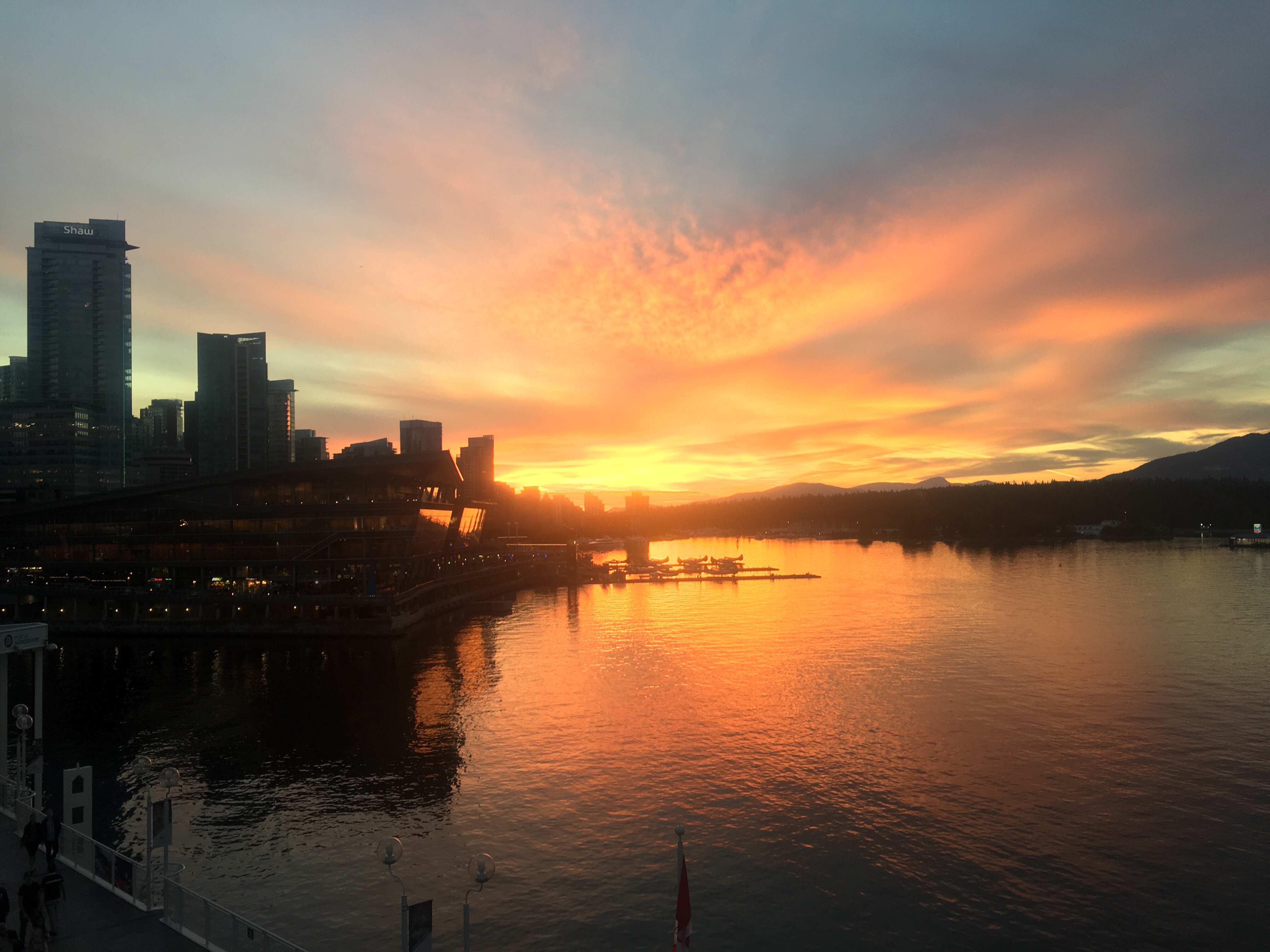
 Sweet $3 view!
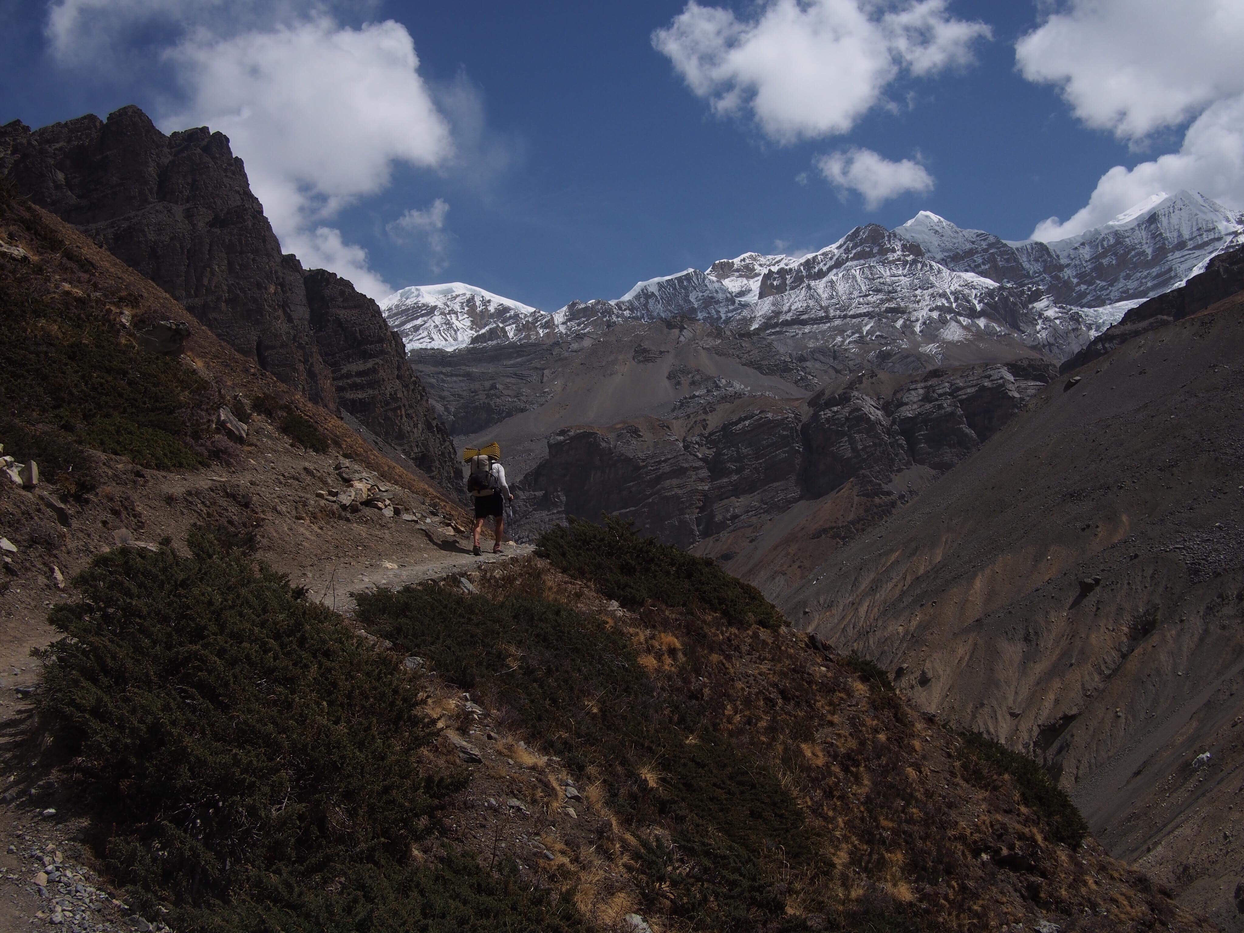
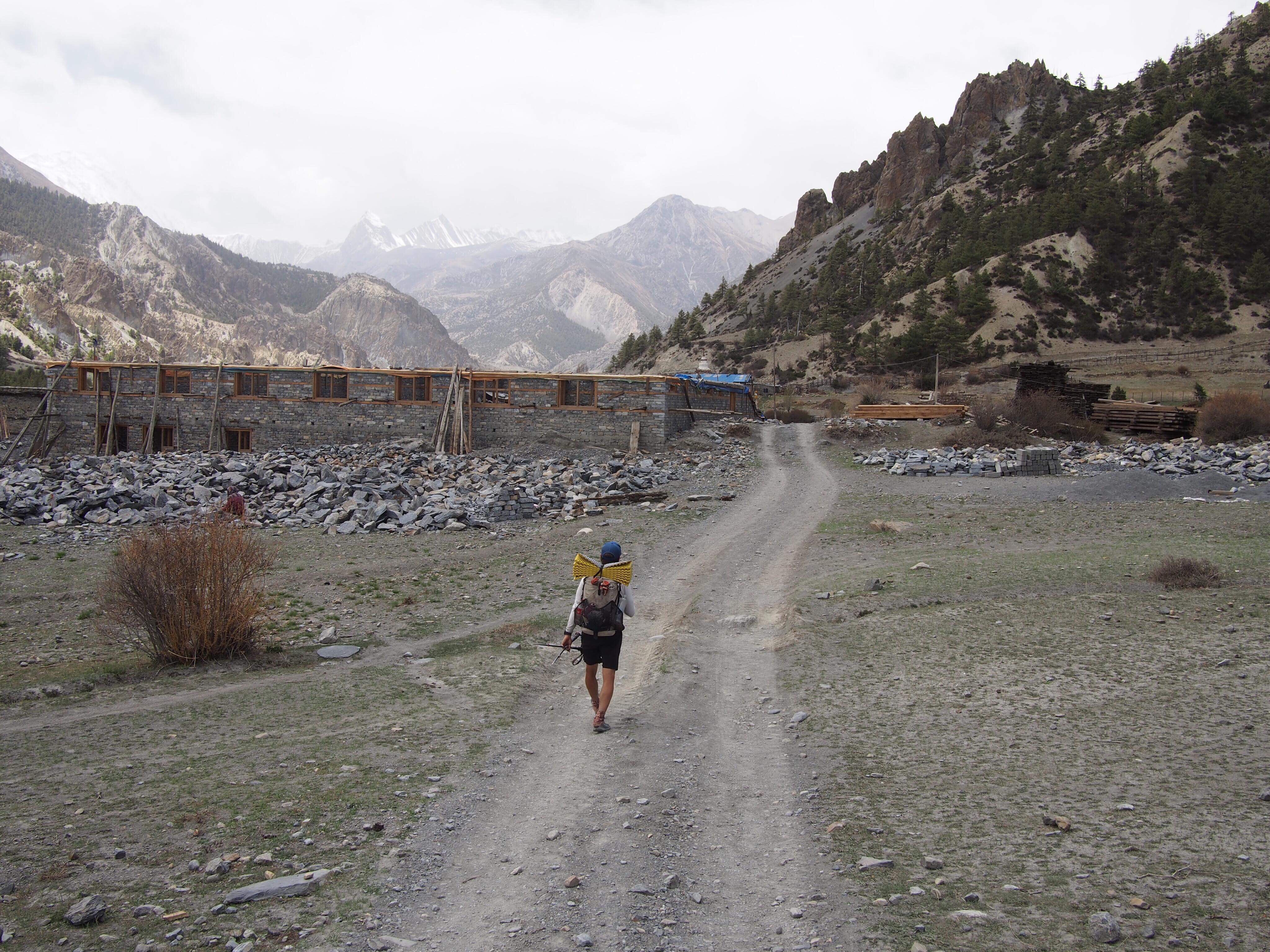
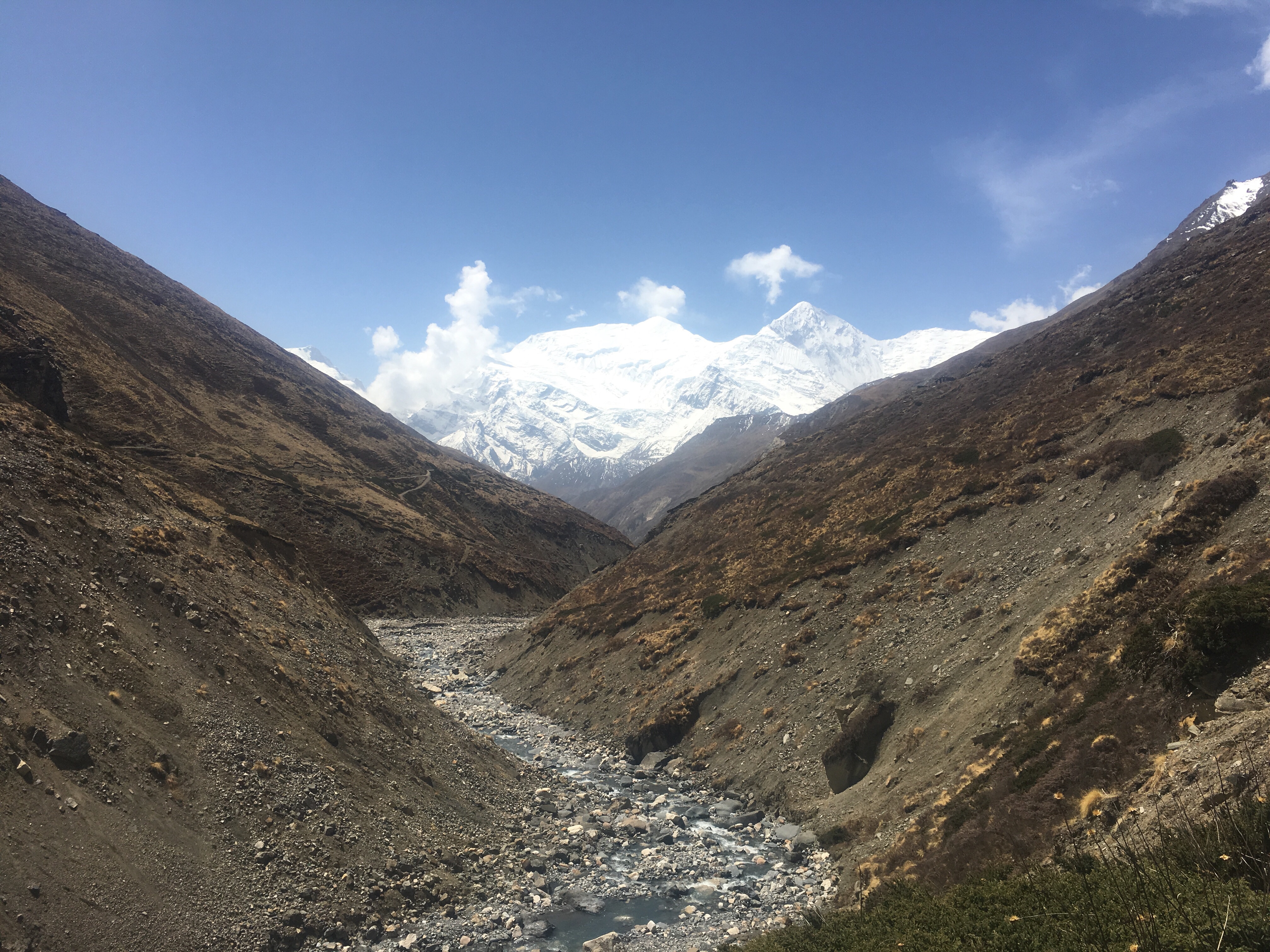
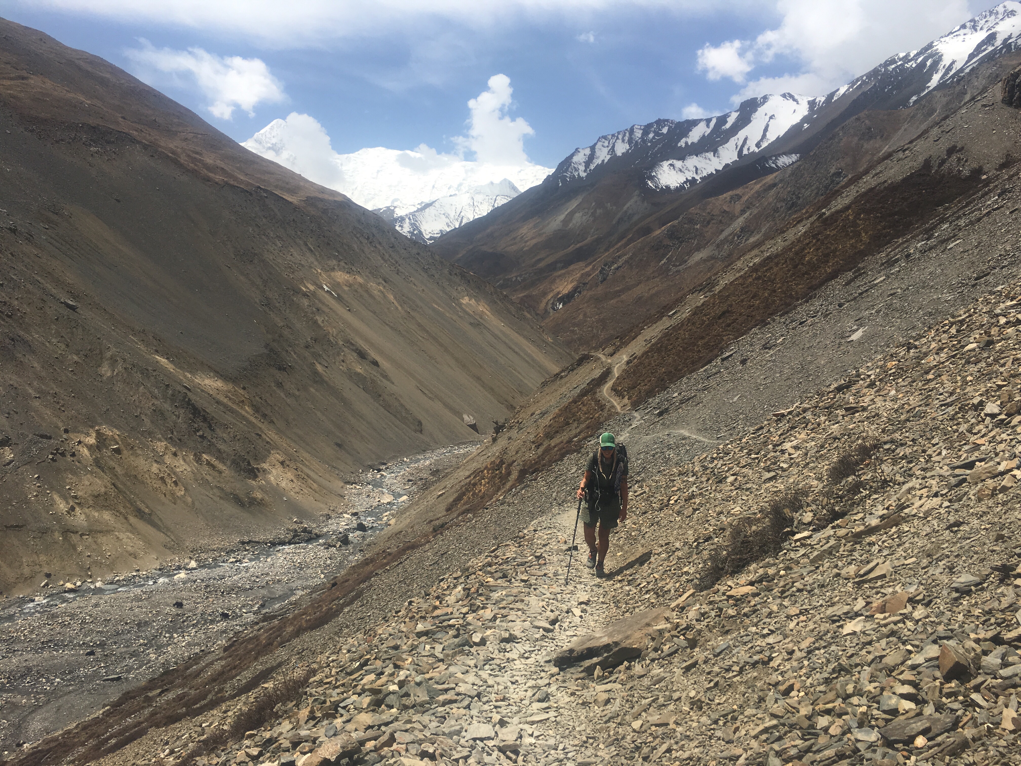
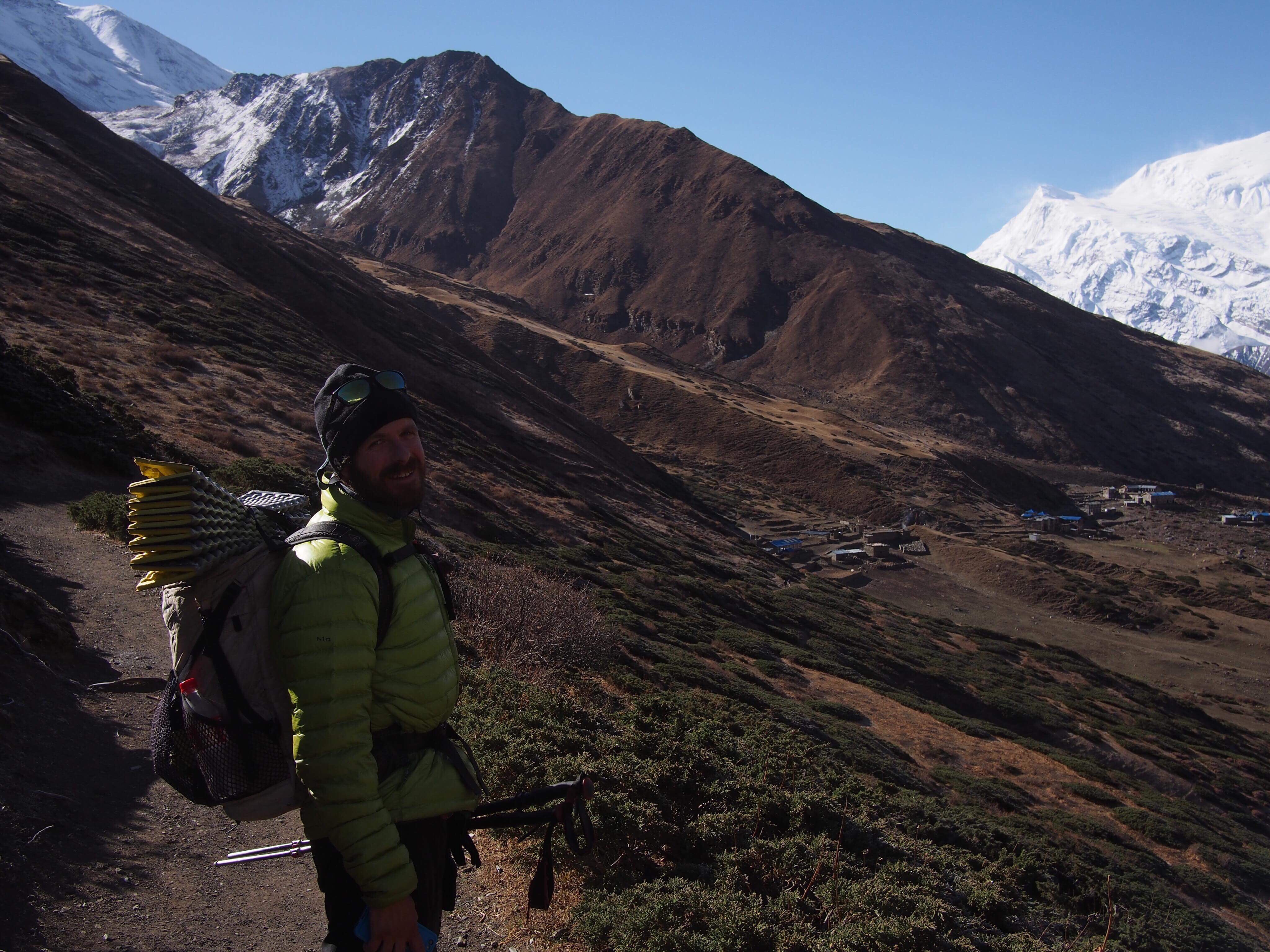
 Even though we only walked about 4 hours today the hiking was pretty rad. We walked higher and higher through a valley all morning and had views of some incredible mountains ahead of us and behind us. At one point along the side of the trail there was a dead goat or a blue sheep carcass and we watched as about a dozen Himalayan Vultures(not sure what the real name is for these birds but they’re massive) fought and picked over the dead meat. It was quite a sight. 3rd coolest thing I’ve seen in 2 days: avalanche, a dog sliding off a roof that a girl caught that we saw in Manang, and these vulture fights.
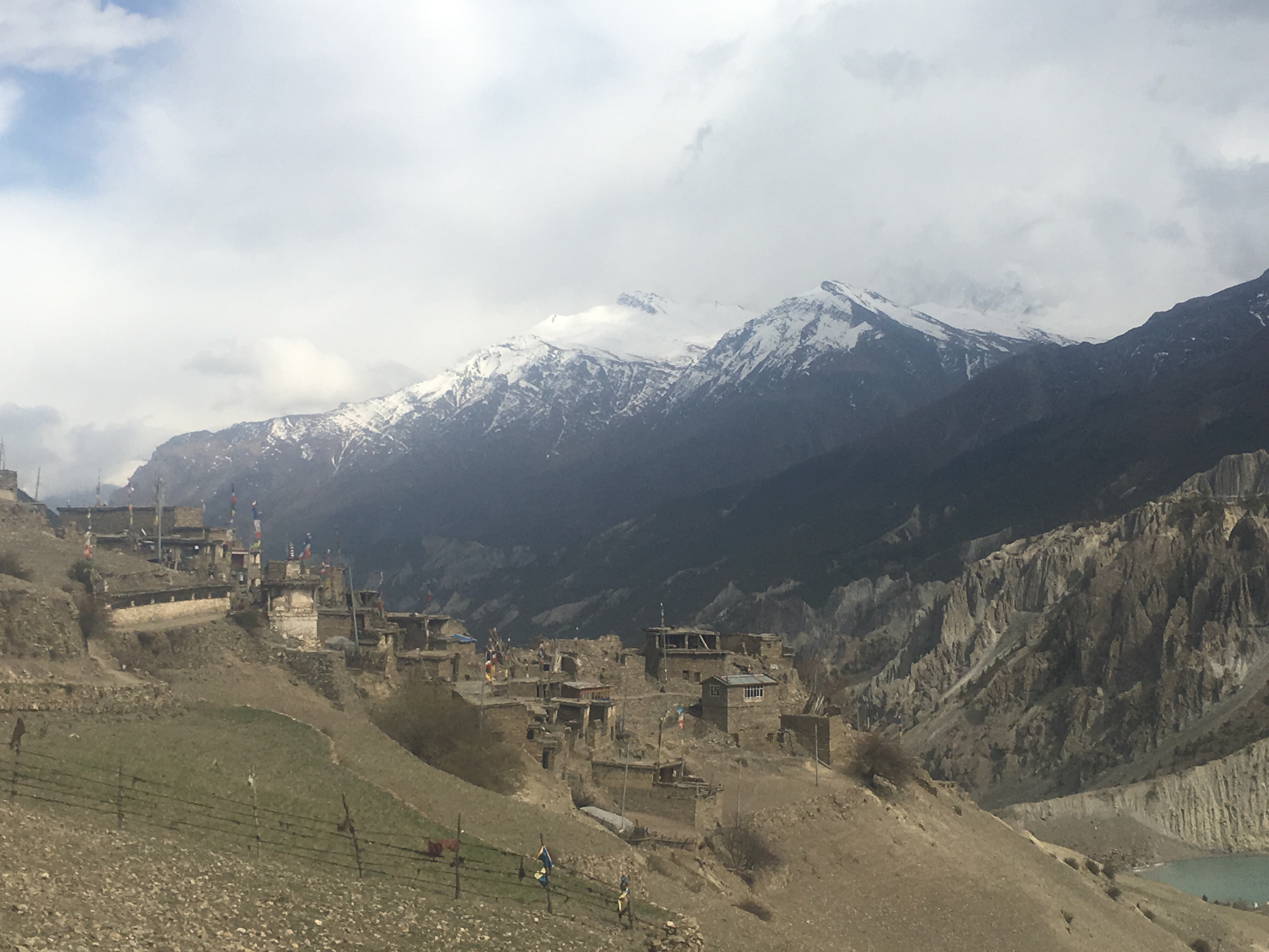
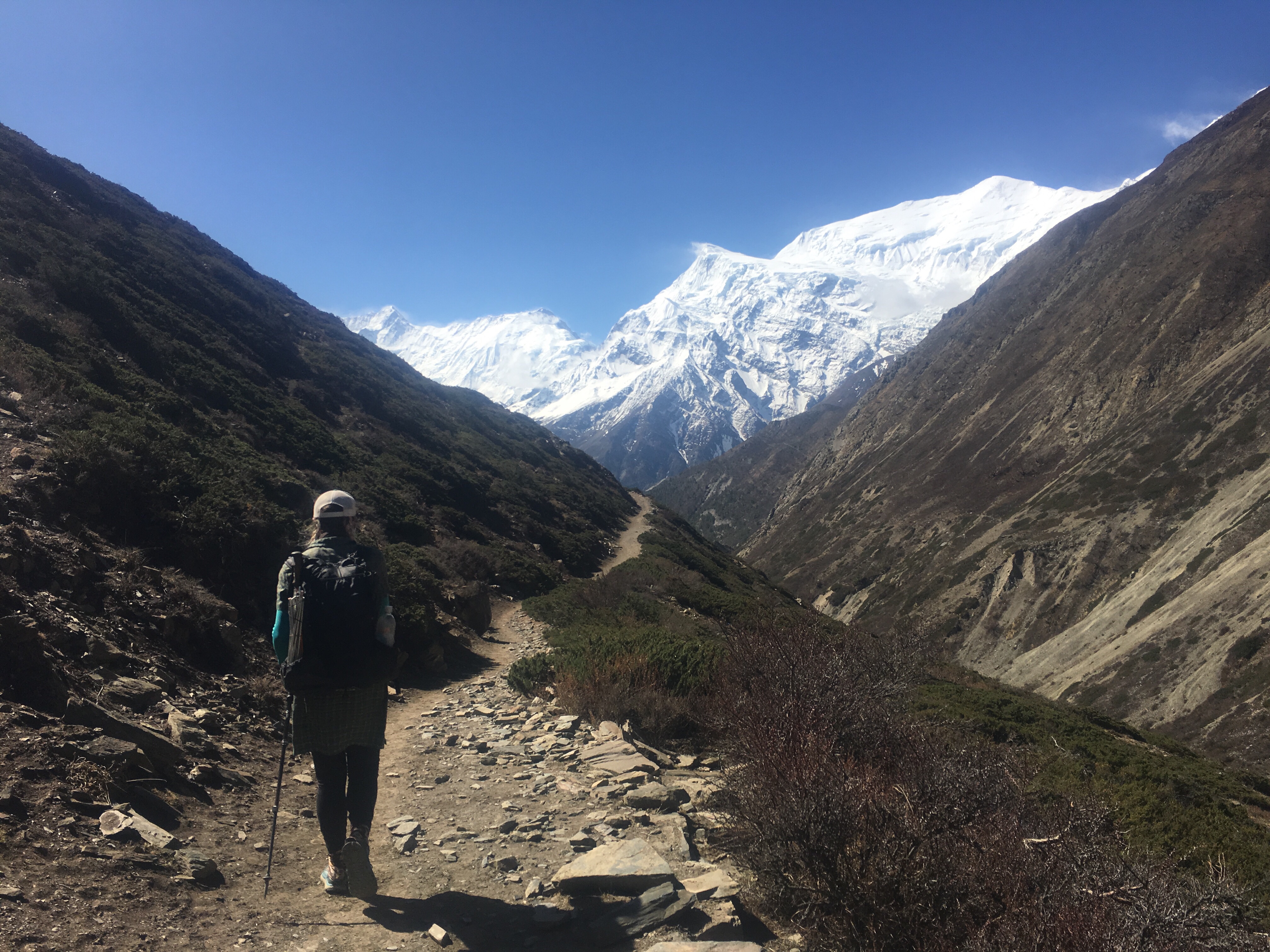

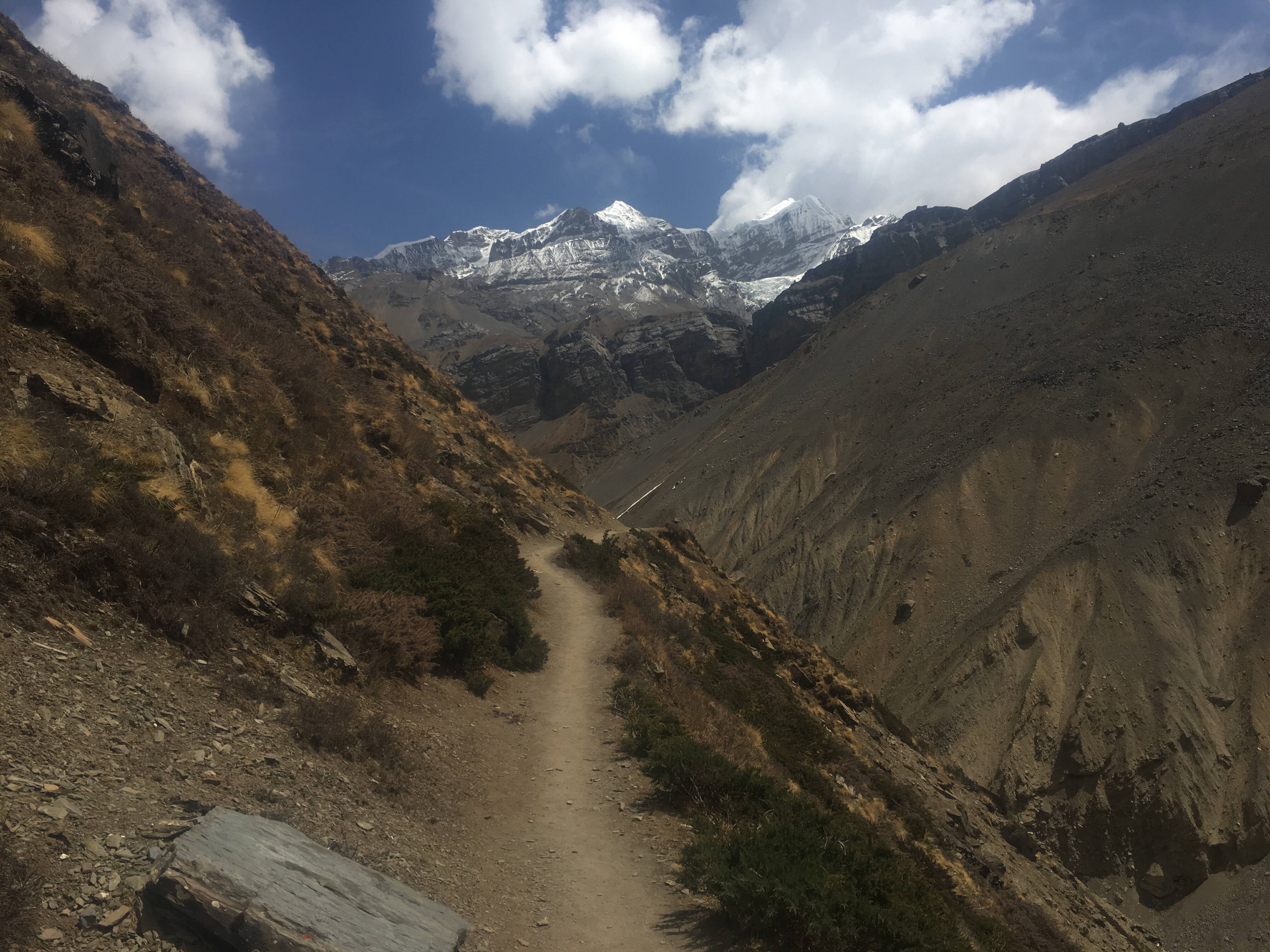
 In just a few hours of walking quickly downhill we were back in Manang, the town where the trail meets the road and vice versa. We walked another couple hours and were just getting through the town of Humde when a Jeep pulled over with a deal for us: 8,000 rupees for the 8 hour ride to Besi Sahar. Deal! I’m only in Nepal for so long and I don’t need to see the same things twice.