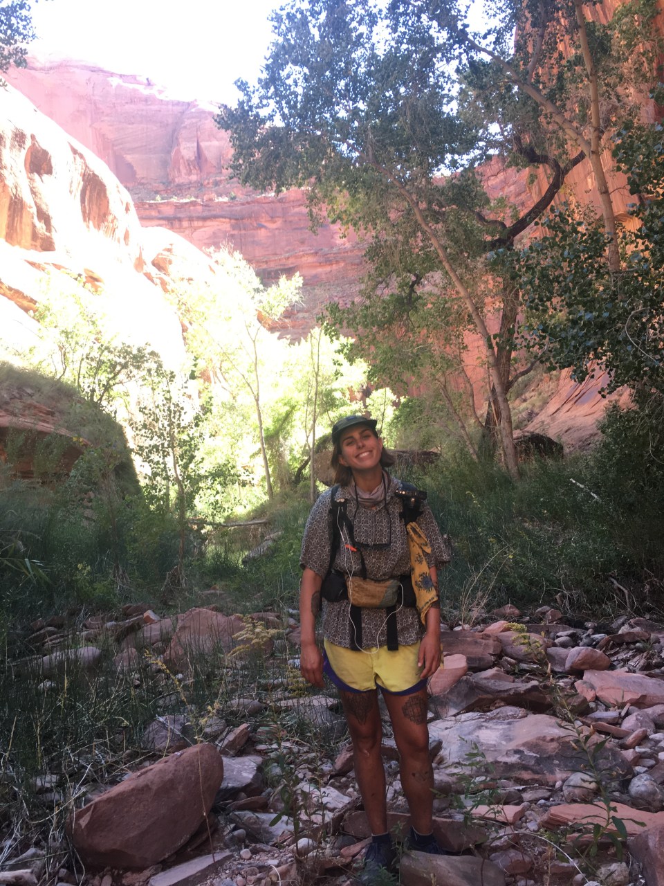
10/2/19…..Hayduke Day 18…..zero miles
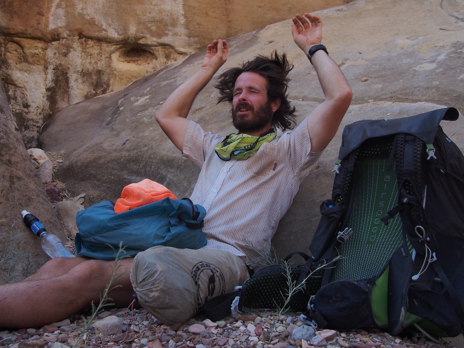
Zero miles today but not for lack of trying. Our plan was to lay around half the day, take care of a few little errands, then hitch back to the Hayduke this afternoon and get a few miles in. From the town of Escalante it’s 5 miles down rt 12 to Hole in the Rock road then another 35 miles down a bumpy dirt road to our trailhead. We unexpectedly waited for about an hour before getting a ride the first 5 miles from Isabella and Claudette, a pair of French tourists, and then waited almost 2 hours before getting shutout at the corner of rt 12 and Hole in the Rock. This was a real rarity, I feel like I can almost always count on a hitch especially in a place like this with so many outdoor activities. It made more sense to get back to town and enjoy the rest of the day relaxing and trying again tomorrow rather than waiting out there and possibly spending the night camping by the side of the road. No big deal but it would have been nice if we had just stayed in town and took a proper zero.
We got some news this morning about our upcoming route. Apparently there was a wildfire in Bryce Canyon NP and the ‘Under the Rim’ Trail is closed. This was our whole reason to go up towards Bryce so I guess we’ll be doing some sort of alternate in the next week. This is too bad but I’m sure it will provide an opportunity to do and see something else that we otherwise wouldn’t.
10/3/19…..Hayduke Day 19…..19 miles
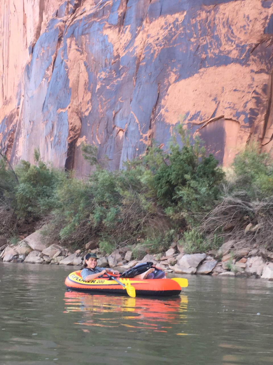
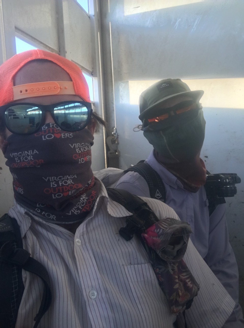
We had much better luck today with rides. First we met Mike at Mimi’s Bakery(make sure you stop here if you’re ever in Escalante). Not only did he offer to drive us out of town and out if his way to Hole in the Rock Road but he was super nice and insisted on buying us muffins and coffee. 30 seconds after he dropped us off we got picked up by the first car going our way and Josh, Sandro, and Anika brought us all the way to the Hurricane Wash trailhead as they were going to spend the day in Coyote Gulch. It was a fun ride and we even saw 3 coyotes, finally!
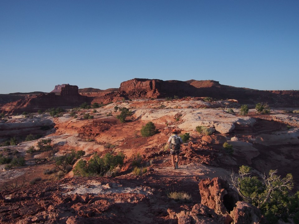
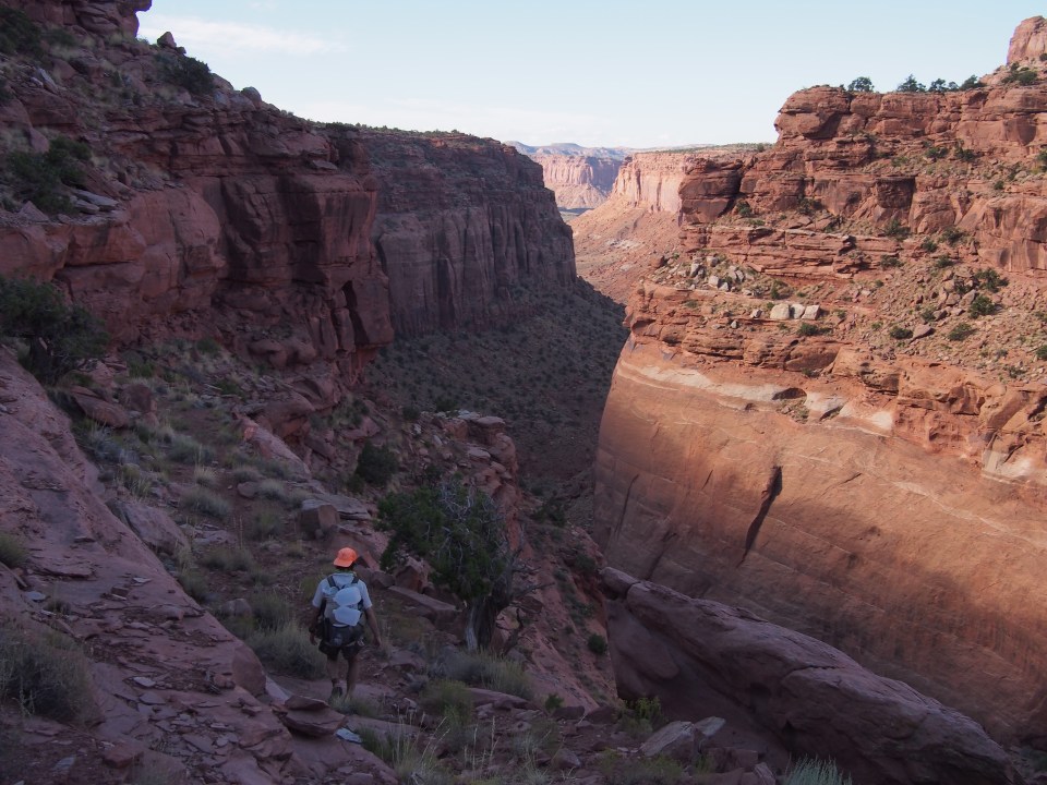
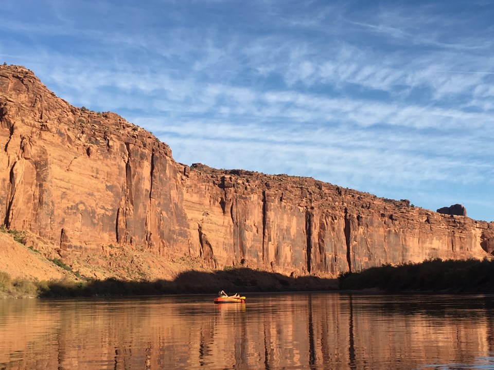
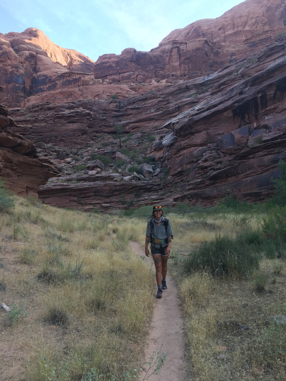
Once we got back to the trailhead, QB and I started hiking up Fifty Mile Bench, or ‘The 50’ as the locals call it. We followed dirt roads most of the way and then turned onto a trail for the last couple miles with the last mile being super steep until we got to the top of the bench. Up top it was relatively flat and we walked a few miles following cow paths to Mudhole Spring. There was good water here, a spigot and everything, and we loaded up 7+ liters each because it’s 30 miles until our next reliable source. 
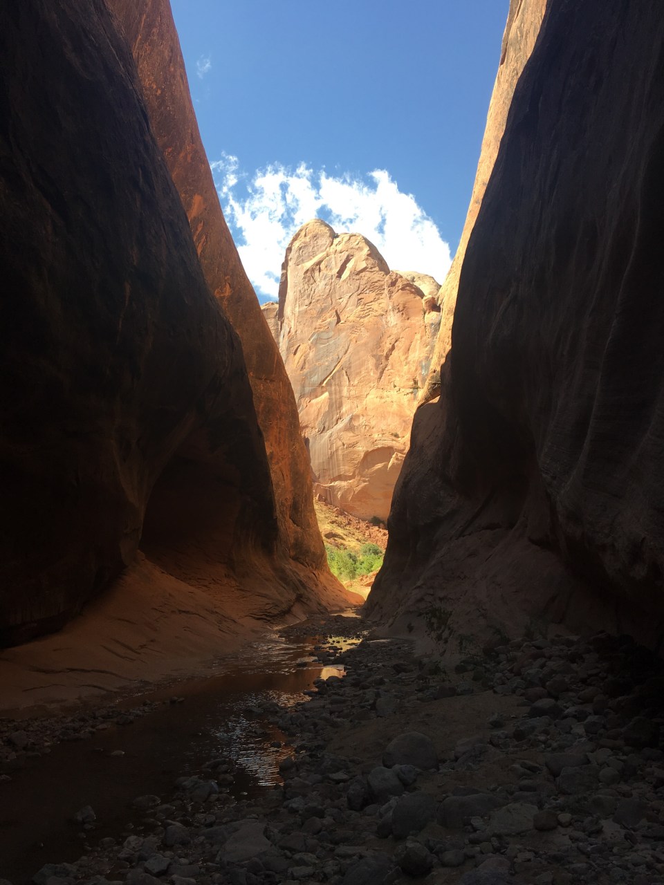
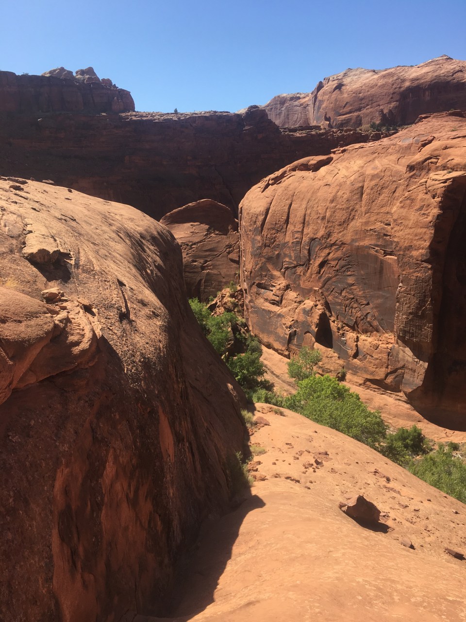
With heavy packs we walked cross country following cow paths until descending into Monday Canyon. For the next 7 miles we walked slowly through this canyon choked with boulders and trees. It was tedious and very slow going. There were lots of pour offs that were too steep to just jump down so we had to maneuver around them and navigate lots of boulders. There may have been a way around all this but we didn’t find it. Eventually the sun started to set so we found a flat spot and set up for the night. I think there’ll be more boulder choked canyon hiking for the morning. 
10/4/19…..Hayduke Day 20…..24 miles
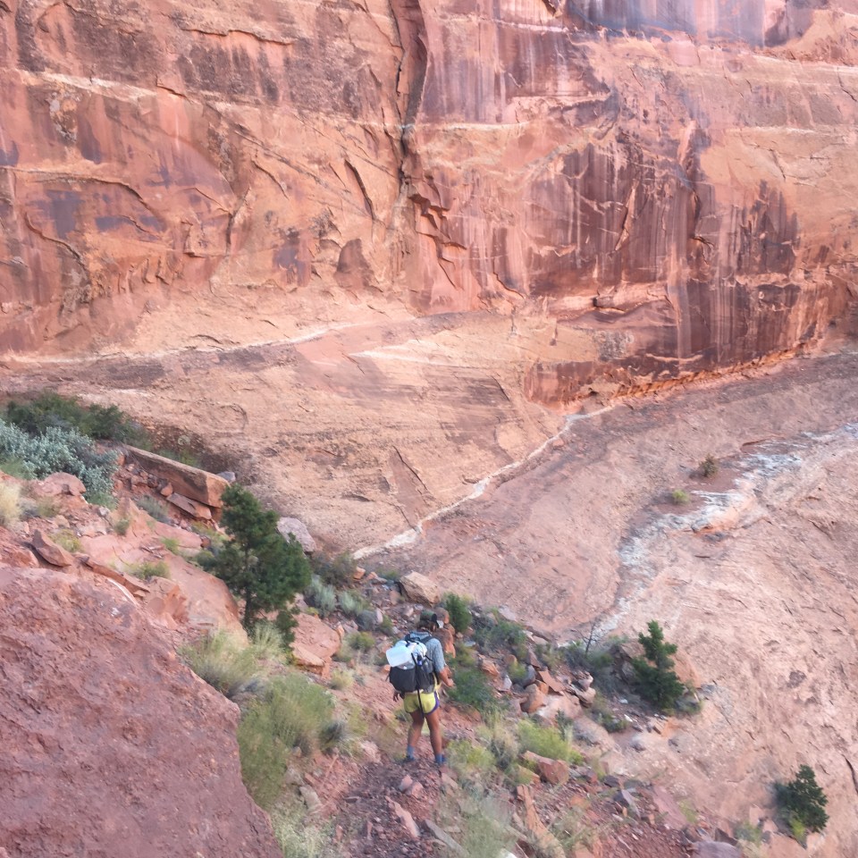
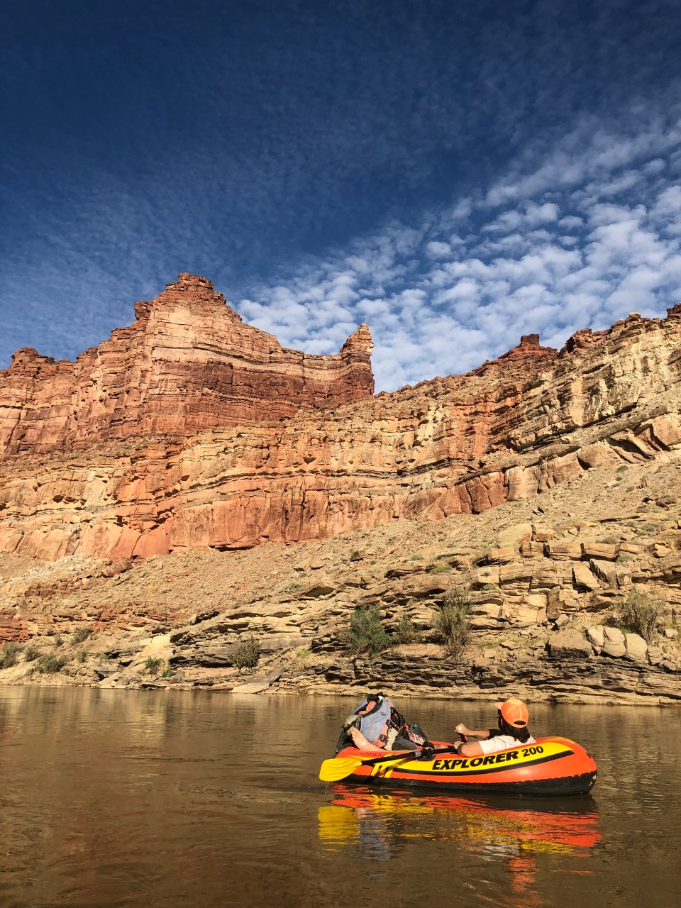
From our campsite we were only a few hundred feet down Monday Canyon to the confluence with Rogers Canyon. These canyons were similar, both dry and full of huge boulders and pour offs that we had to work around. Rogers Canyon eventually let up on us and we walked on sandy wash until taking a right and walking up Navajo Canyon. For awhile Navajo was sandy and easy walking and then this one too was choked with boulders and dry falls. We found it easier to navigate walking up canyon opposed to down as we were able to see from a distance which routes go and which don’t. 
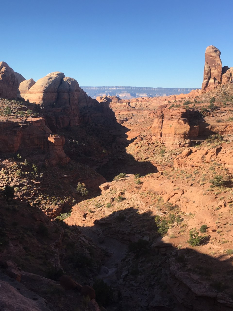
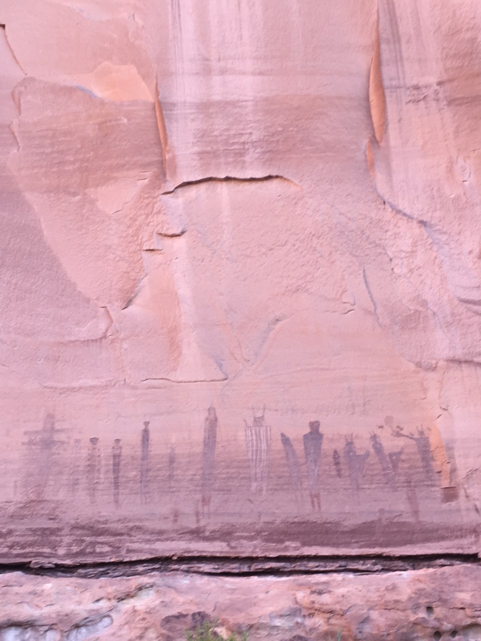
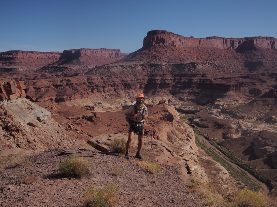
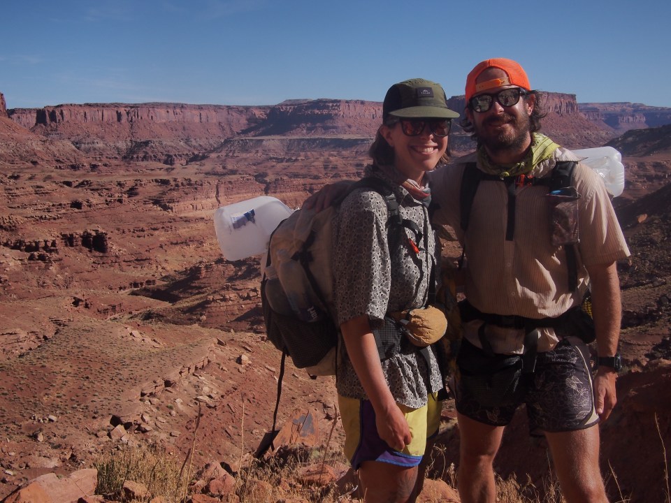
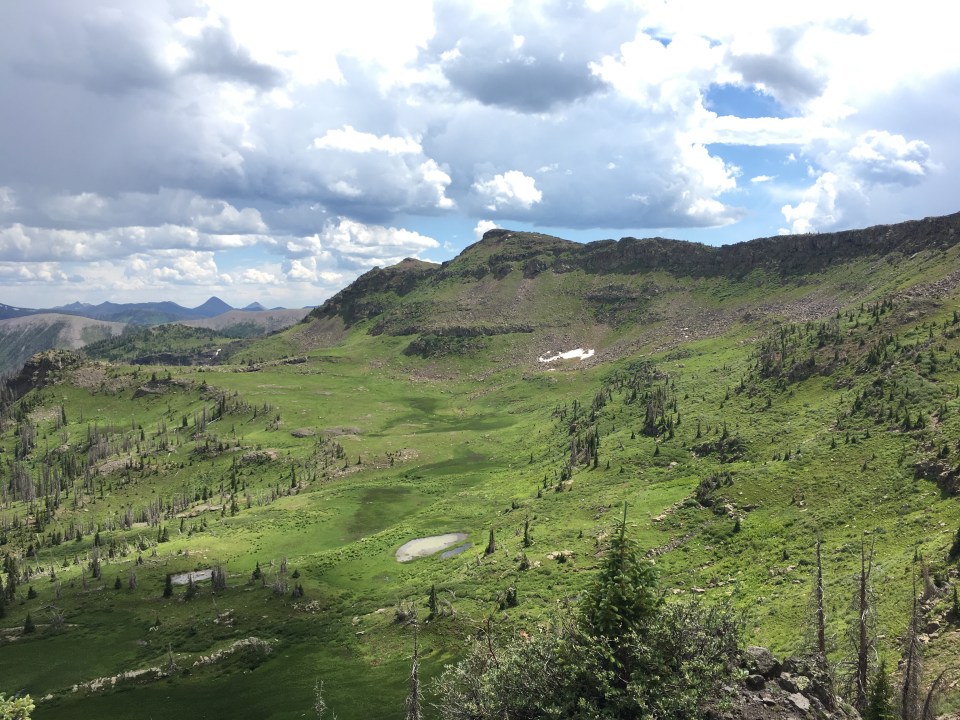
After half a dozen miles we turned left onto a faint 4×4 road and climbed up that for awhile. This track joined a regular dirt road for a mile then left that climbing higher and providing vast views of the Grand Staircase(the Grand Staircase is a vast 200 square mile geological feature, not one particular formation.) We descended on this 4×4 road down into Reese Canyon for some nice easy walking. This was a sandy wash that we cruised along until reaching the junction with Last Chance Creek. At one point QB discovered 5 or 6 of what just have to be fossilized dinosaur prints. If only there was a paleontologist around. See for yourself and let me know what you think:
 Turning up Last Chance Creek Canyon we reached decent water for the first time since yesterday afternoon. There was a good amount of water in Rogers Canyon earlier in the day but it was pretty nasty looking. Unfortunately QB slipped and busted her ass in a big puddle of it. I felt bad and everything but sure glad it wasn’t me. After getting water this evening we saw a massive tarantula crawling across our path. Shortly after that we found a rocky shelf on the side of Last Chance Creek to cowboy camp. Hopefully that tarantula doesn’t try to crawl in my fartsack to cuddle.
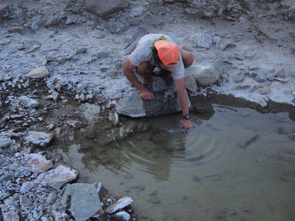


10/5/19…..Hayduke Day 21…..25 miles
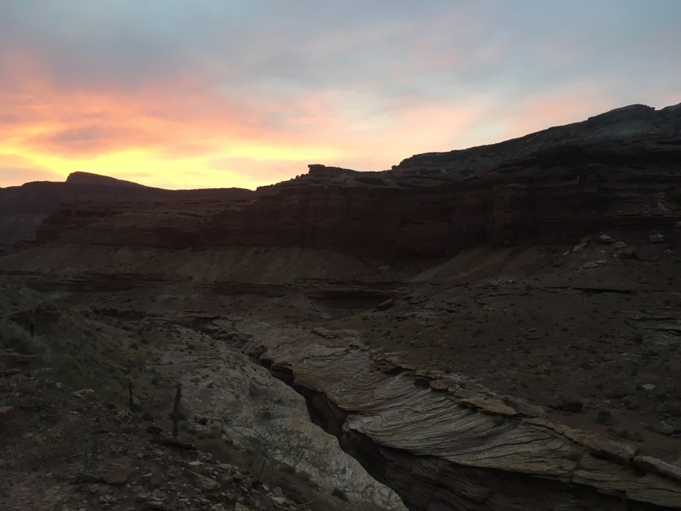
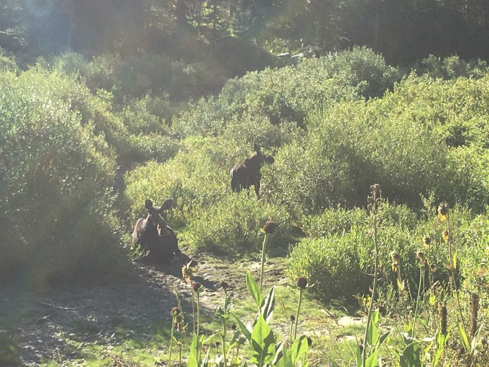
For the first half of the day we cruised up canyon alongside Last Chance Creek. We didn’t see any wildlife but plenty of evidence of animals. There were lots of coyote tracks, surprisingly a few black bear prints, and a good amount of cat tracks. Either a very large bobcat or a small lion. 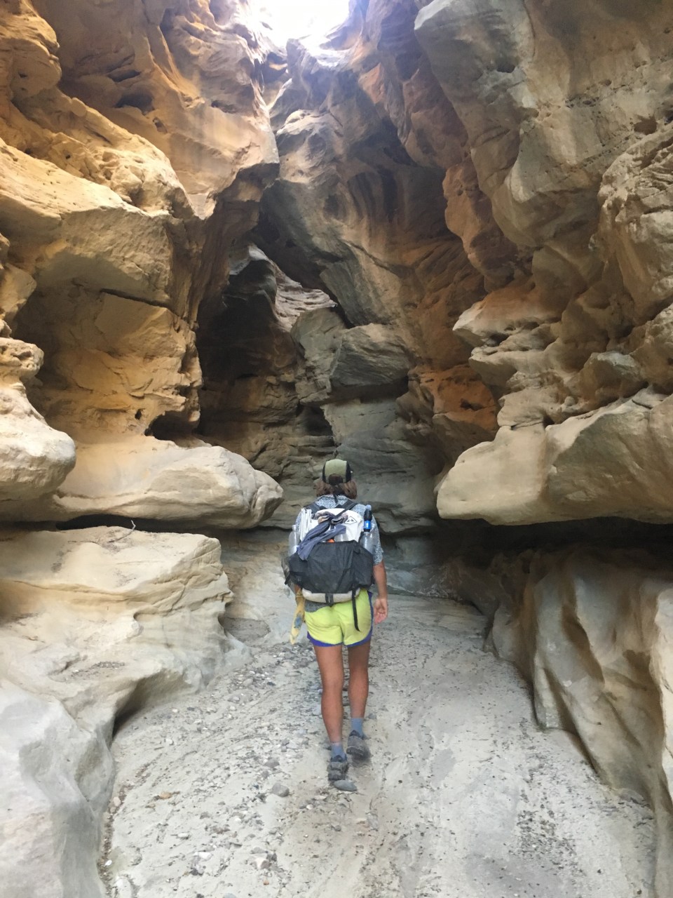
We took lunch around noon and were caught up to by Josh, the first other Hayduke hiker we’ve seen. In 2017 we all crossed paths briefly in Wyoming while hiking in opposite directions on the CDT. This guy is absolutely flying and told us about 3 other hikers he passed behind us. Earlier this summer he broke the FKT on Vermont’s Long Trail and held it for 6 weeks, and also made a substantial attempt at the PCT record. He’s super fast but was in no hurry today so joined us for the rest of the afternoon. 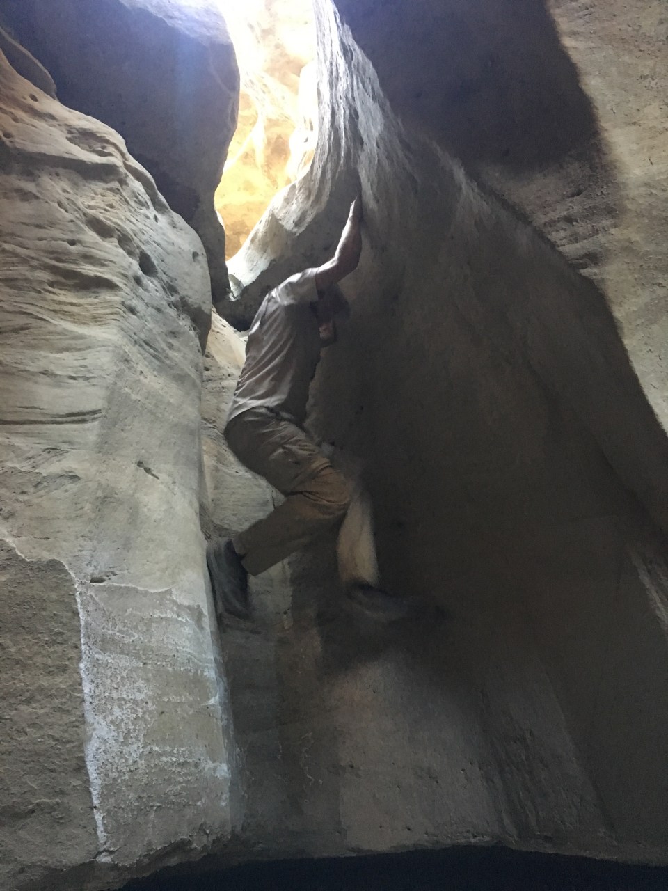
Today was the easiest day of hiking we’ve had out here. This afternoon we followed Last Chance Creek a little further then took a left on Paradise Canyon where we walked for about 6 miles. There’s a little slot canyon off route that we went to check out, Yellow Paradise Slot. It was very cool and although we couldn’t have made it through and back to where we were headed, it was well worth the side trip. This evening we loaded up on halfway decent water from a seep then took a left onto a dirt road that we followed for 3 miles before finding a place to camp. 
10/6/19…..Hayduke Day 22…..26 miles
This morning QB, Josh and I cruised through a long road walk for 13 miles until getting to the Grosvenor Arch trailhead. We passed a group camping on the side of the trail eating breakfast and they hooked us up with fruit, orange juice, and water. They just happened to be a group of paleontologists out looking for fossils. What are the chances? It was confirmed that the footprints we saw the other day were actually dinosaur fossilized prints most likely from a duckbilled dinosaur(with a more scientific name). Our new friends also showed us some dinosaur bones and how to identify them. 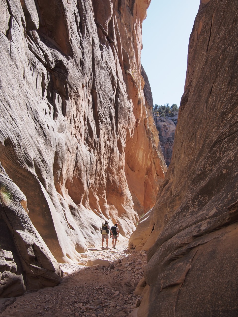
A few weeks ago at Grosvenor Arch, QB and I cached a bucket of food and 3 gallons of water and it was still there in it’s hiding spot untouched. We took an extended lunch as people were coming and going from the arch and while there were joined by Scampie, another Hayduke hiker. We’d never met but had mutual friends and now the 4 of us, which we considered must be the Hayduke Bubble, carried on down the dirt road. After a mile Josh got a hitch into Tropic because he had new shoes coming in so the bubble was back down to 3. 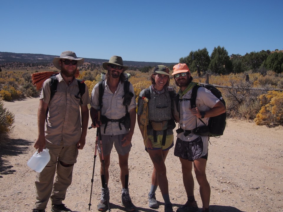
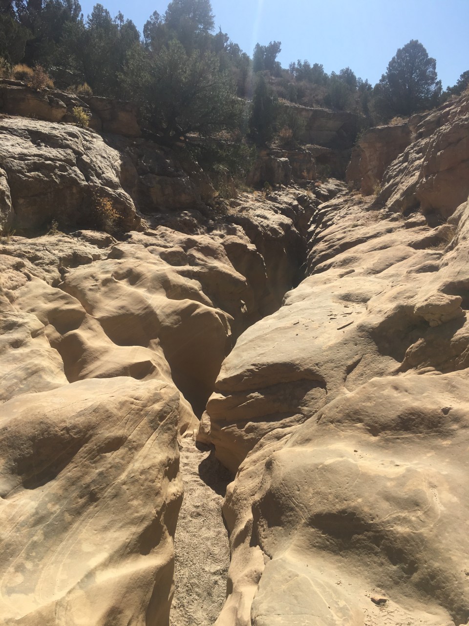
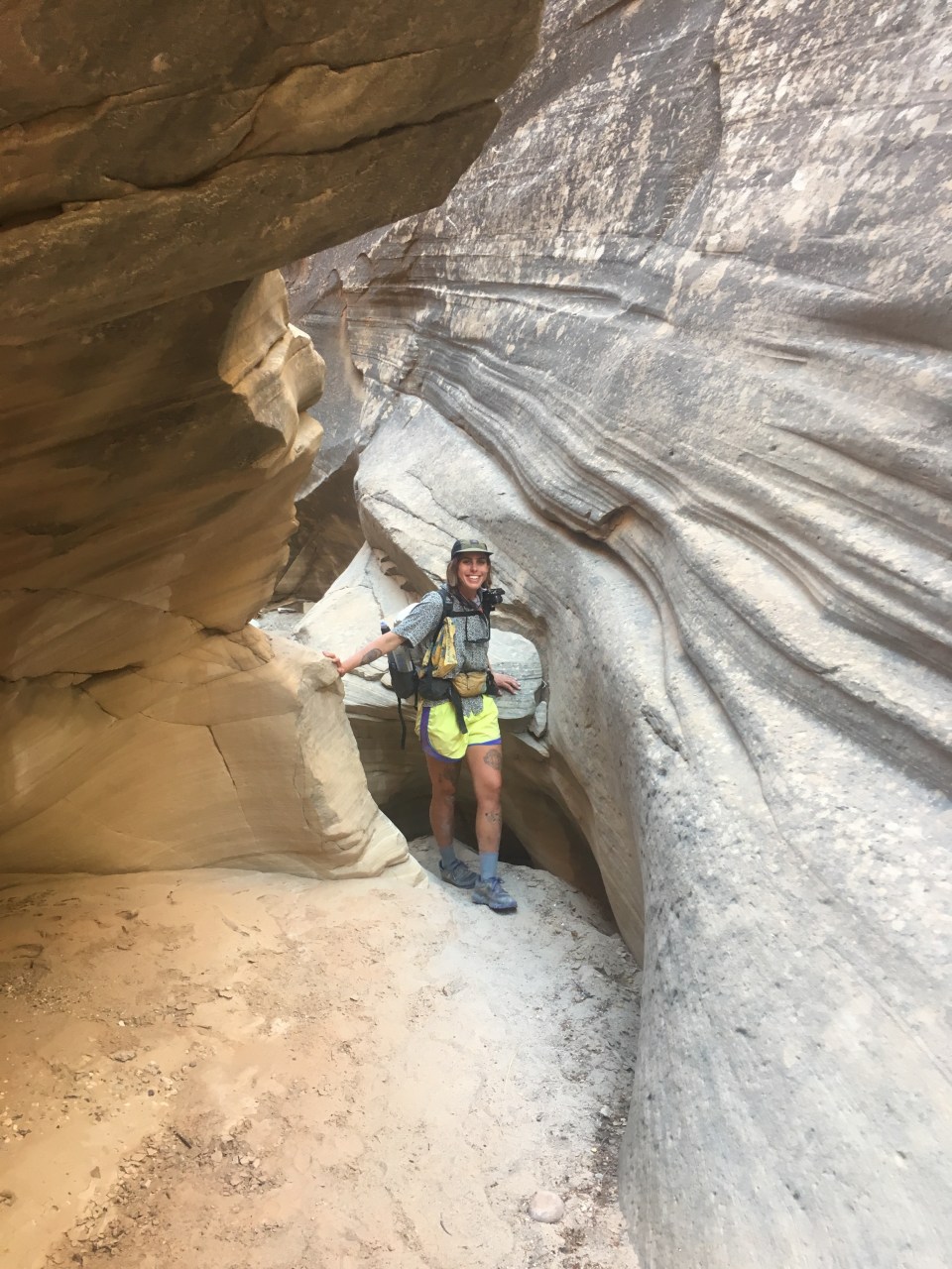
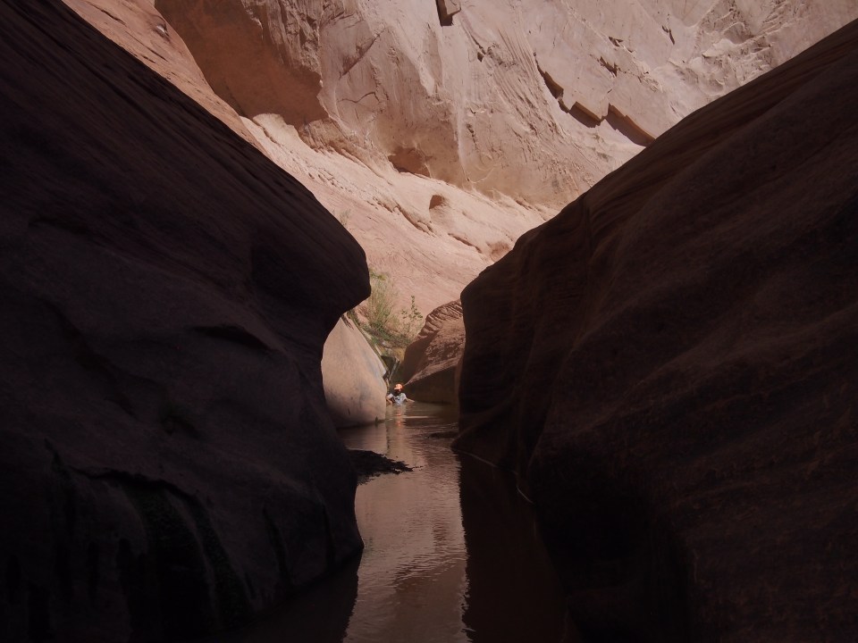
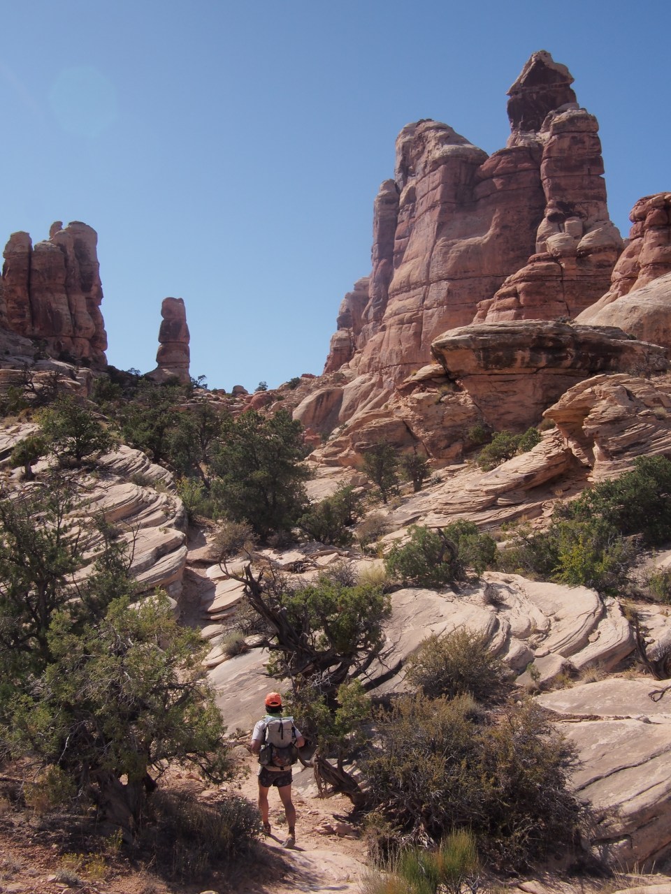
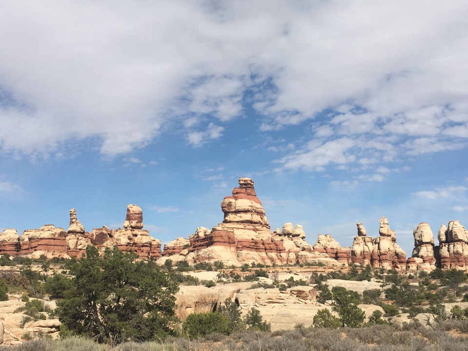
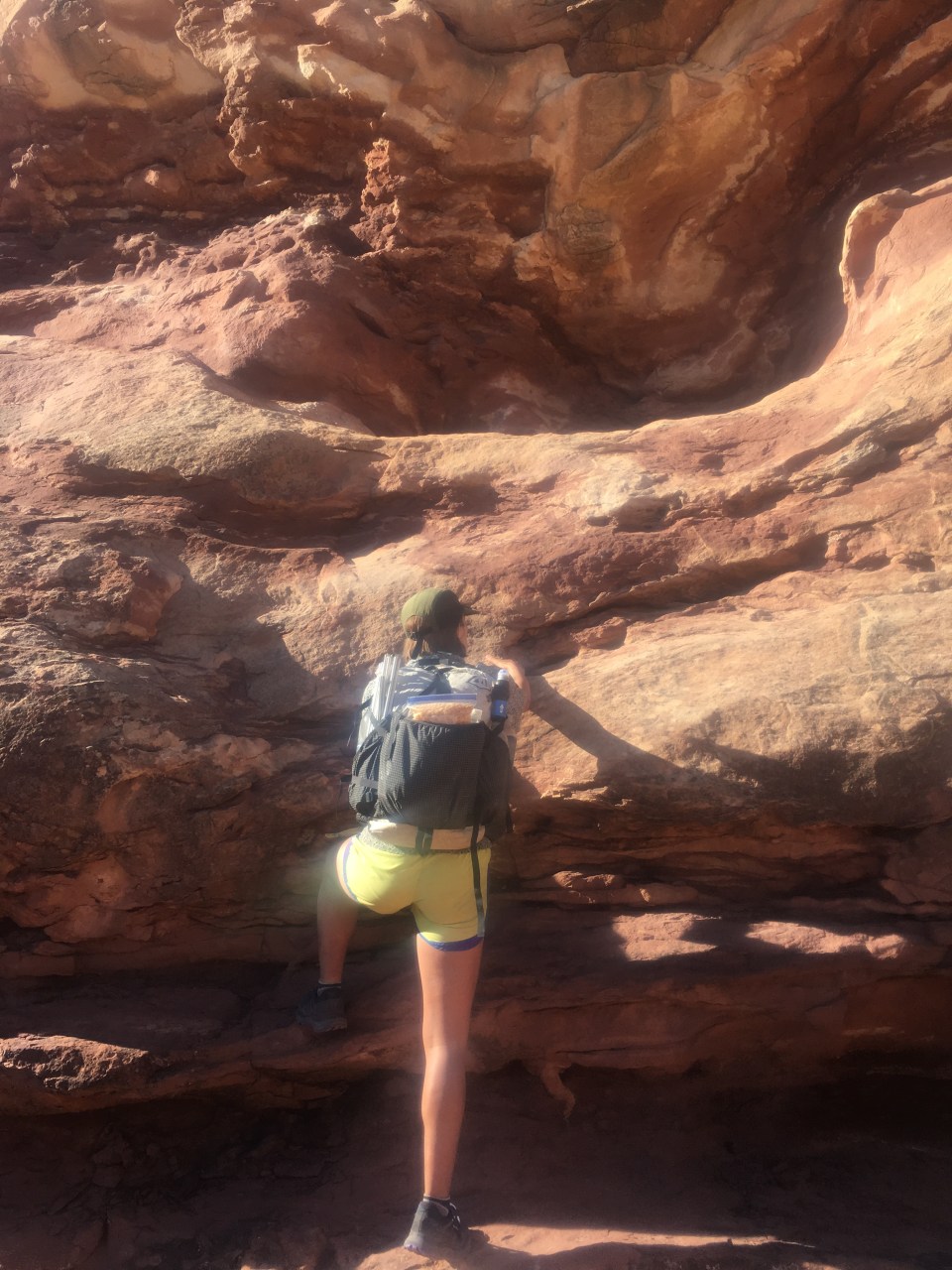
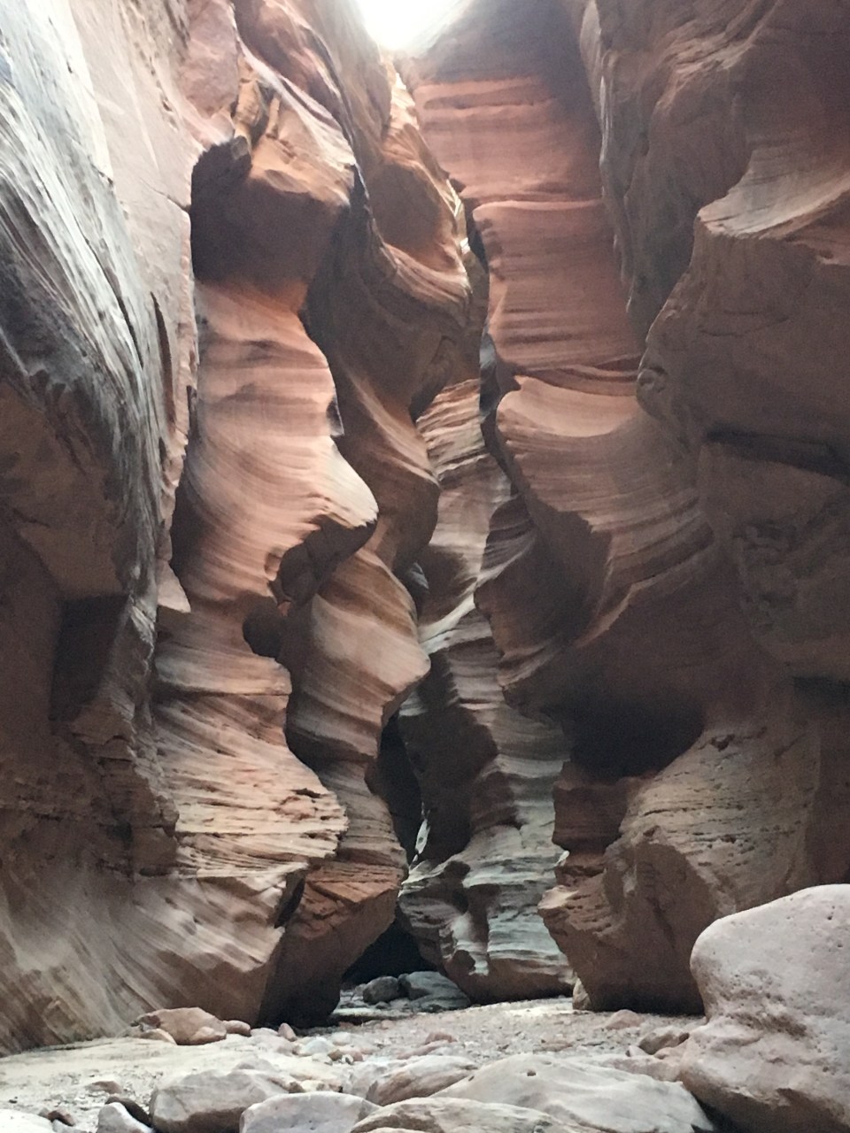
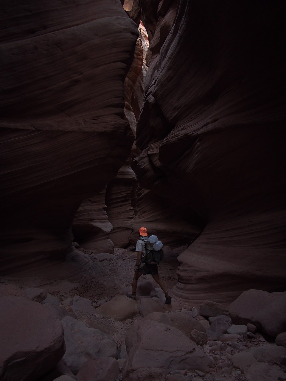
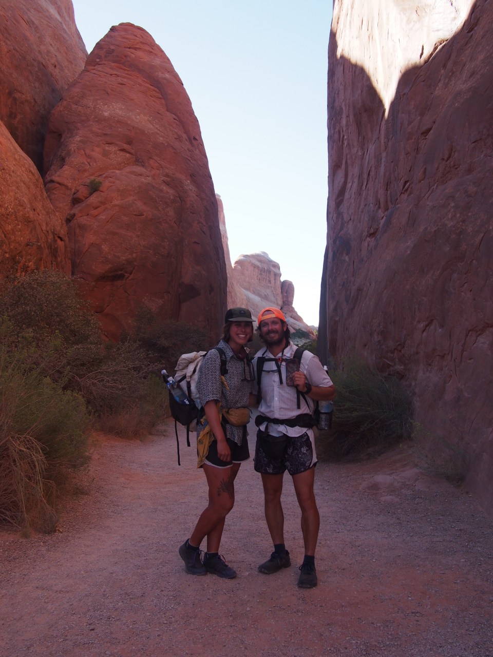
QB, Scampie, and I walked a few more miles of dirt road before dropping into a narrow slot canyon, Round Valley Draw. This place was very cool! A few times we had to relay pass our packs down so we could down climb some steep narrow chutes. It went on for awhile as a tight slot canyon then got a bit wider before reaching Hackberry Canyon. We walked down Hackberry for a few miles and found a spot to camp beside the wash. 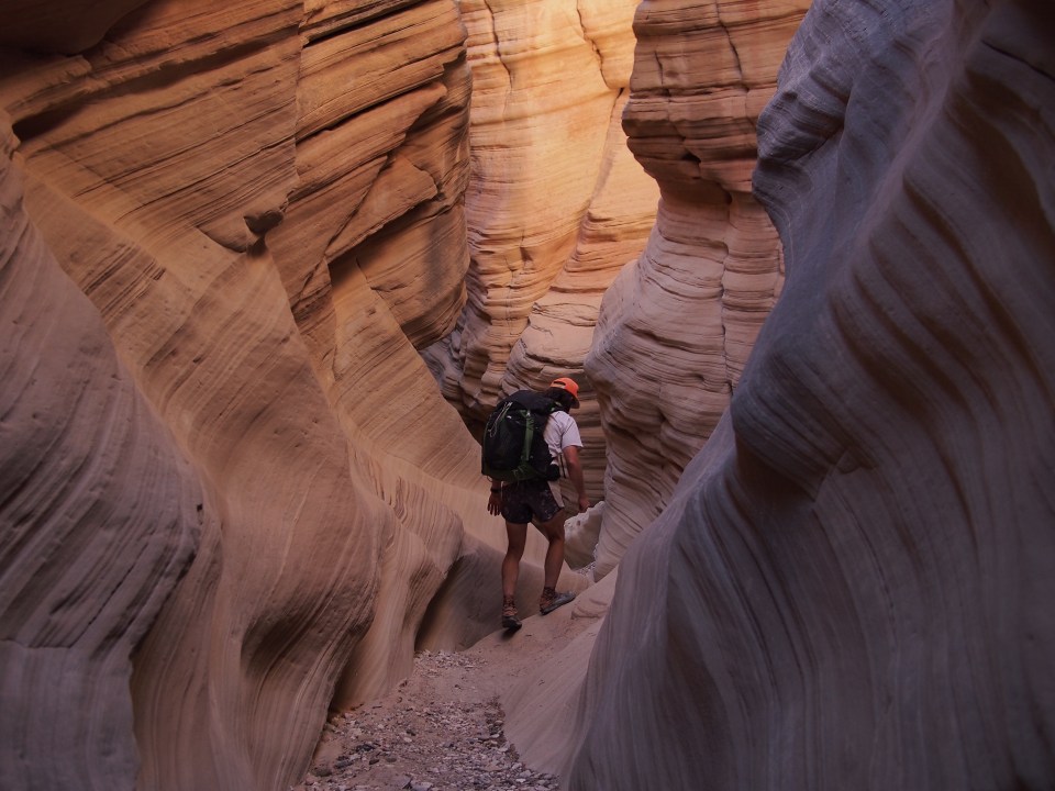
10/7/19…..Hayduke Day 23…..21 miles
Dang it was cold last night! And this morning. I think we’ll be setting the tent up from here on out, the stars have been incredible but cold wind in the face in the middle of the night has been uncomfortable. Plus my sleeping pad deflated on me all the way down to nothing a couple times last night. I’ll have to rectify that situation in town.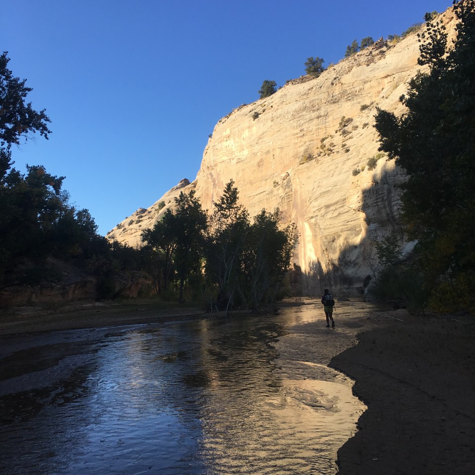
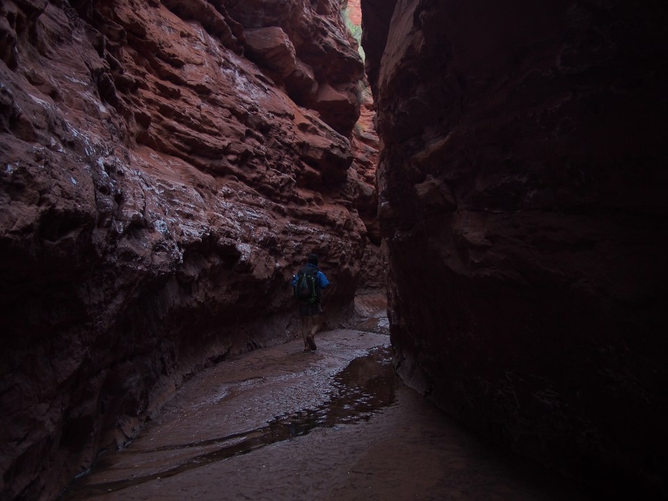
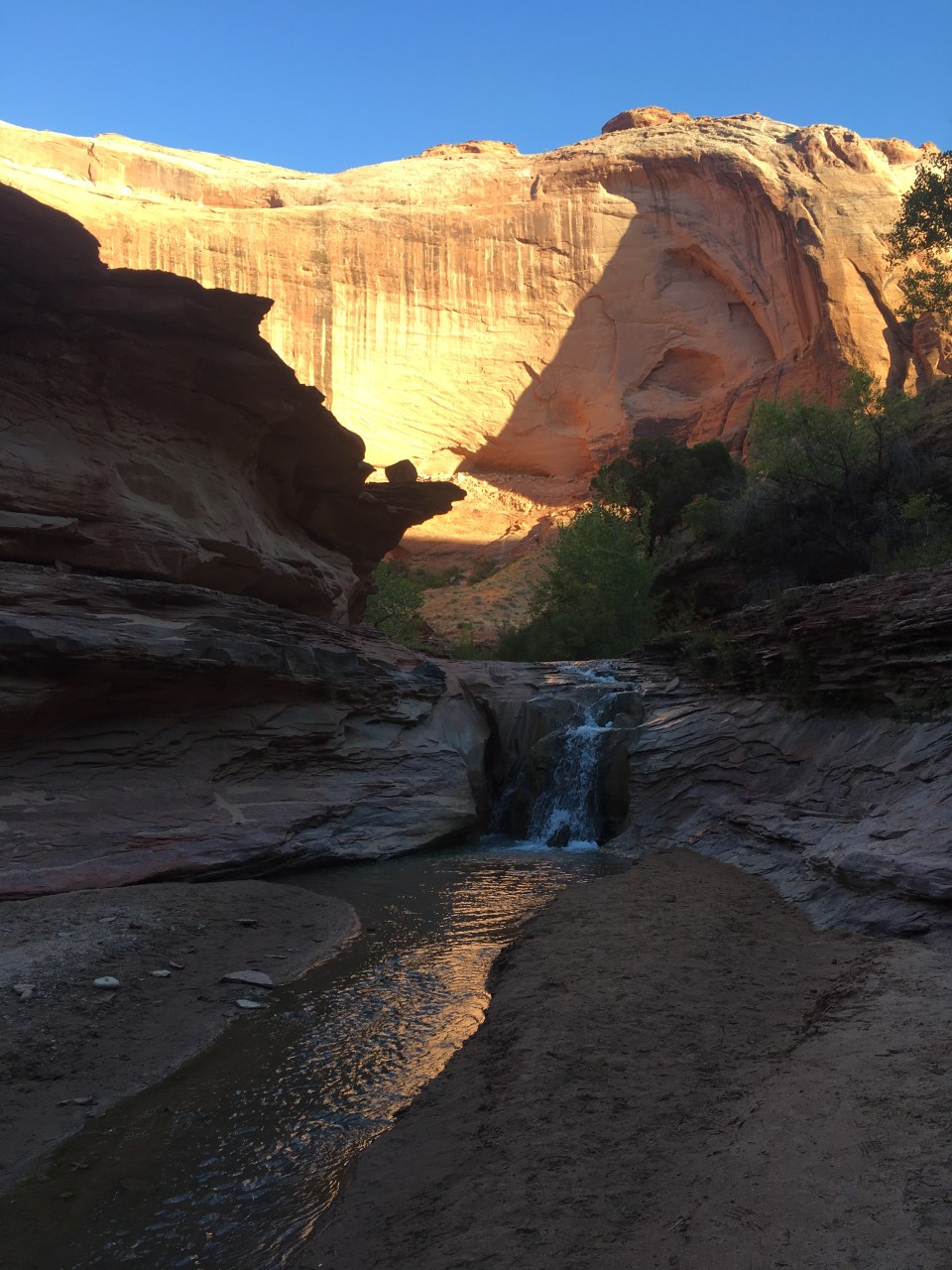
The first few miles today were nice and fast through Hackberry Canyon. Eventually a trickle of water started to develop at our feet and before long it was ankle deep. Trying to avoid the water meant bushwhacking so after a little bit of that we decided to just walk down river and deal with cold feet. The canyon was pretty enough though but the high walls kept the sun from reaching us until 9:30. We passed Watson Cabin, a relic from another time, being refurbished by the BLM, that was cool and worth checking out. I wonder if one can camp in that thing? Not that I would have.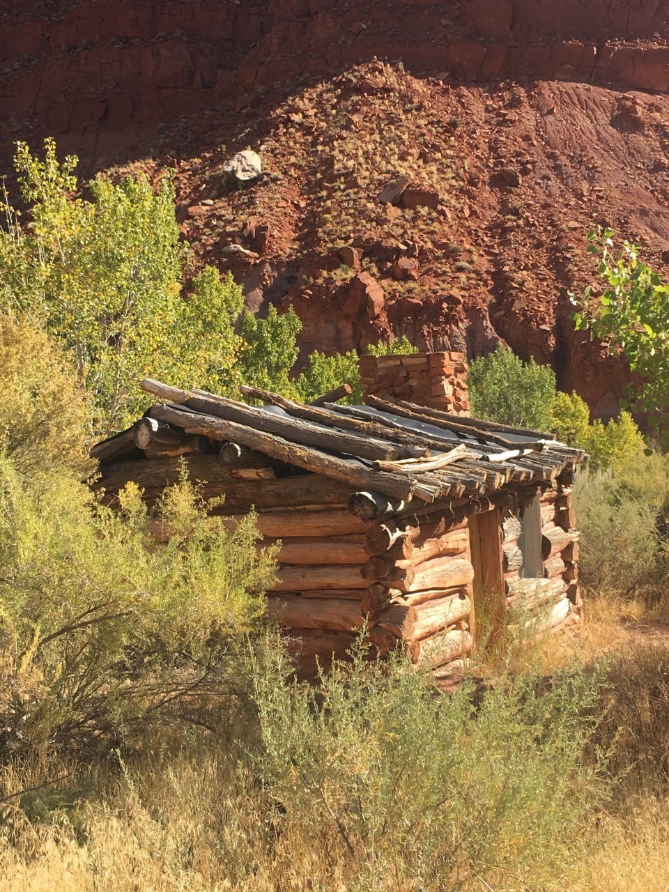
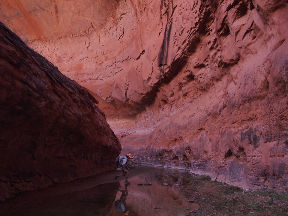
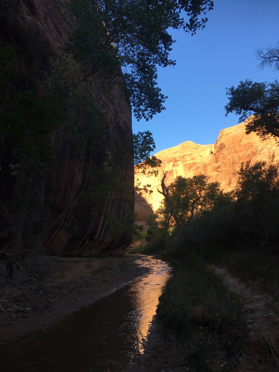
This afternoon Scampie got out ahead of us and since we’re taking different routes going forward, the Hayduke bubble was back to two, QB and me. The two of us walked down Hackberry Canyon until it became a dry wash then reached the Paria River where we took a right. In the Paria the water was low and silty and the river bed was very wide. The Paria River begins up near Bryce but because of the trail closure there we only followed it a half dozen miles or so until we reached the mouth of Kitchen Canyon. We took a left and began an alternate through Kitchen Canyon where we were hoping to find clearer water but without any luck. The water is super silty so we put it in our platypus bags and hopefully some of the red dirt will settle overnight. We camped in this very pretty, bright red canyon. Our shoes are wet and doubtful that they’ll dry by morning when I’m guessing it will be mighty cold out. Not tonight’s problem though.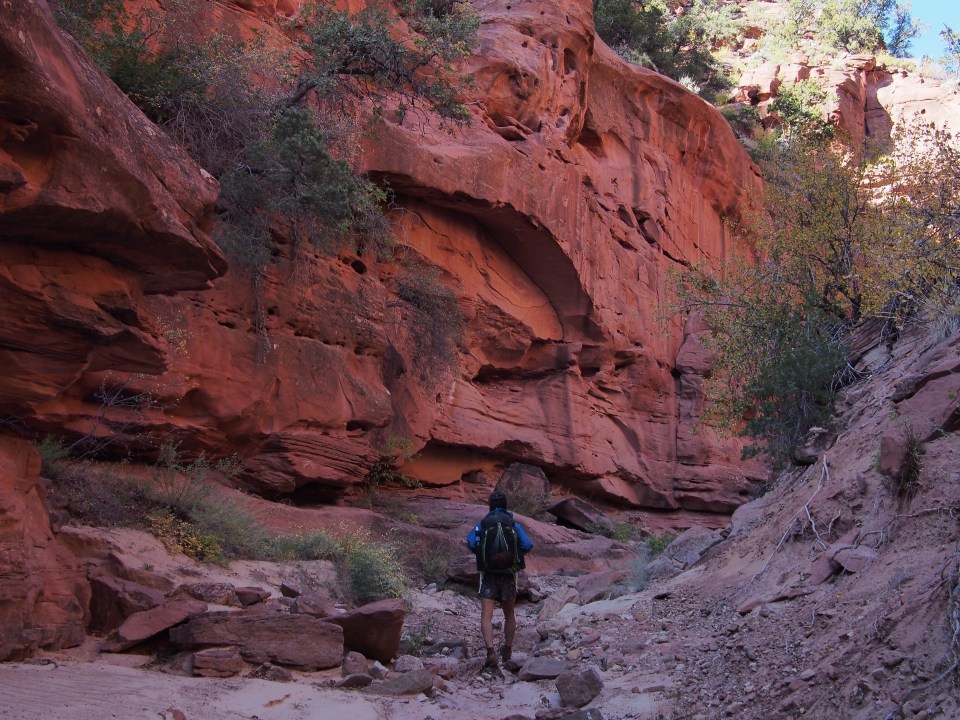
10/8/19…..Hayduke Day 24…..23 miles
Most of the dirt in the water bags settled to the bottom overnight, so that worked out well but even better than that was the nice clear water flowing out of a side canyon a few minutes into our morning. Shortly beyond that, Kitchen Canyon goes to the right and this alternate follows Starlight Canyon to the left. We followed Kitchen Canyon a short distance to where it dead ends at a tall and super silty waterfall giving the appearance of chocolate milk pouring over a canyon wall, Yum!
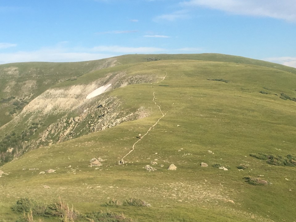
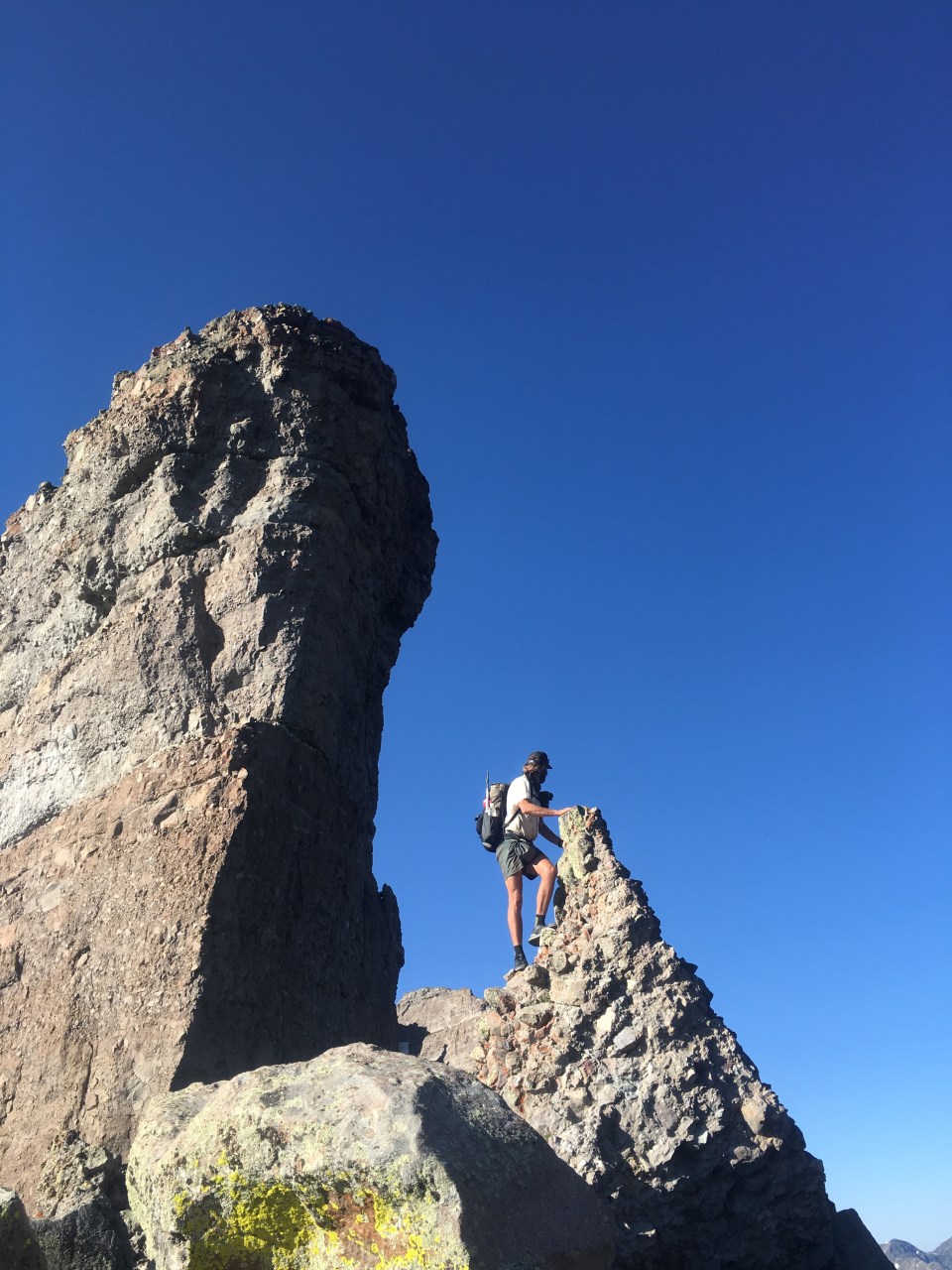
Starlight Canyon was very cool, until it wasn’t. There were big red walls, bright yellow cottonwoods, and even a slot canyon section. The walking was difficult with a fair amount of bushwhacking and running water but the scenery made up for all that. We followed Starlight for 4 slow miles then hit a dead end. The beta we had on it wasn’t much but we were following a gps track that looked like it went straight up this 15 foot drywall we were staring at. To the left and the right of the dryfall were massive walls of a series of cliffs on each side but we attempted to give the left wall a shot as it was the less daunting of the two. After getting up about 20 feet of tricky climbing we had nothing above us but a high exposure class 5 route. Maybe the person who created this alternate found a better way but we didn’t and I guess we also didn’t research it enough. So began a bushwhack backtrack, the worst kind of backtrack. Retreating, we took a right down the first significant canyon, walked up that a bit and took a good look at the topo maps. There seemed to possibly be a way up a series of steep grassy ramps and there was! We had to do some class 2 scrambling up some rocky stuff but we found a ridge and were able to follow that all the way up to a jeep road that ended up rejoining the alternate that we were on. Not only that but we had amazing views looking back over the Grand Staircase from high up.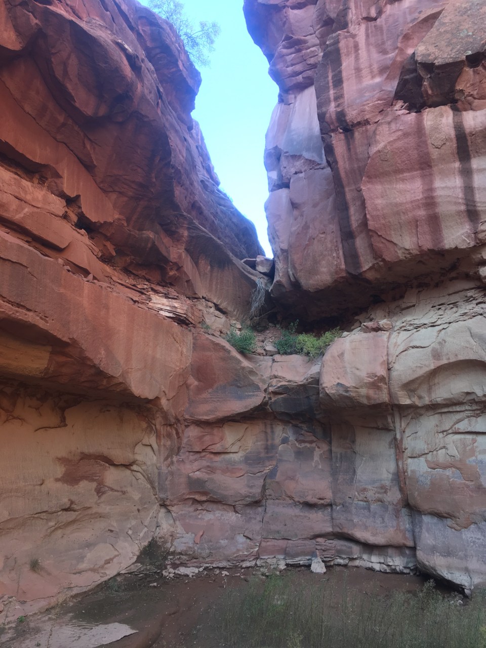
Following the jeep road for 5-6 miles brought us to a dirt road that we walked for about 10-11 miles to route 89. It was mostly uneventful besides a couple stopping in their Land Cruiser to give us cold water and me almost tripping over a gopher snake. We got to the highway right around sunset, tried hitching to Kanab for about 15 minutes, then gave up and set up the tent behind a bluff near the road.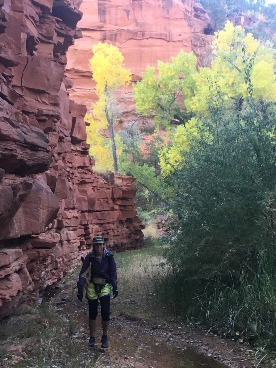
Thanks for reading! And feel free to follow this blog or find us on insta for more pictures: @endlesspsummer @sarahikes
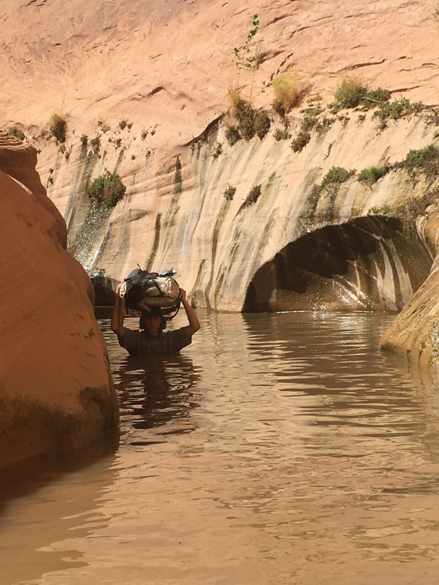


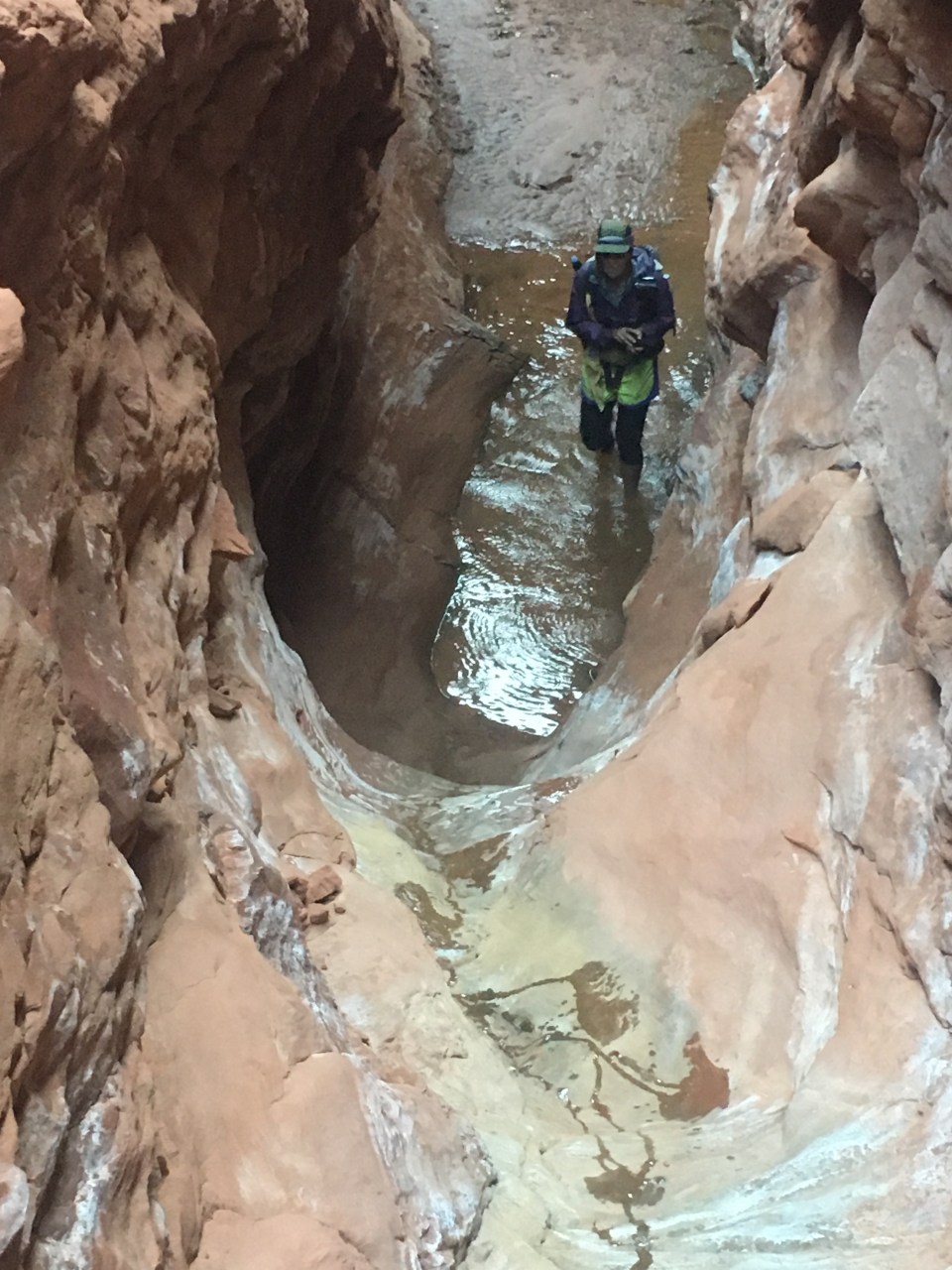
 Often times we would be walking up to our knees and waists through the dark water on slippery mud. At one point we went through holding our packs above our heads and the water was just above my mouth while I was on my tip toes. QB followed me and even though we’re the same exact height, she somehow got to the same spot I was at and had to swim using only her legs as she was still able to hold her pack above her head. I guess my toes are longer. To see some video of this event go to my insta @endlesspsummer.
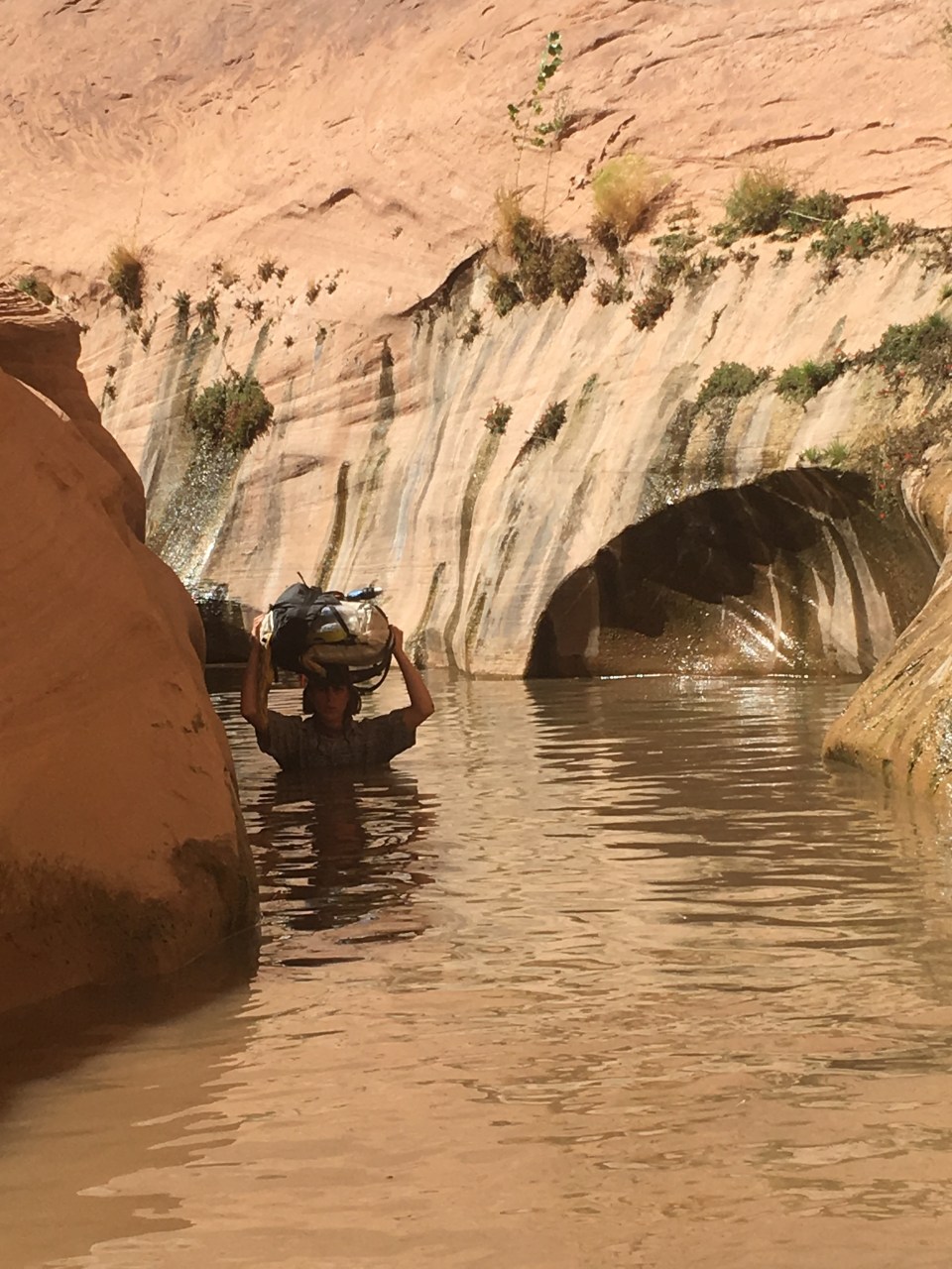 Shortly after the deep stuff, the canyon began to widen and we were dumped out into an area that looked much like before except this time there was water in the creek bed. We followed alongside this for 6 miles sometimes able to find stretches of animal trails and sometimes bushwhacking cross country. There had to have been a better way. At some point we left the boundary of Capitol Reef NP and entered Glen Canyon National Recreation Area. We walked this section of Halls Creek until almost reaching an outstretched arm of Lake Powell. Had Glen Canyon Dam never been built, Halls Creek would carry on through Glen Canyon eventually feeding the Colorado River.
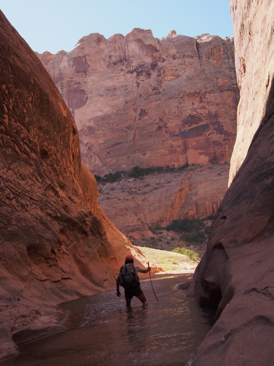
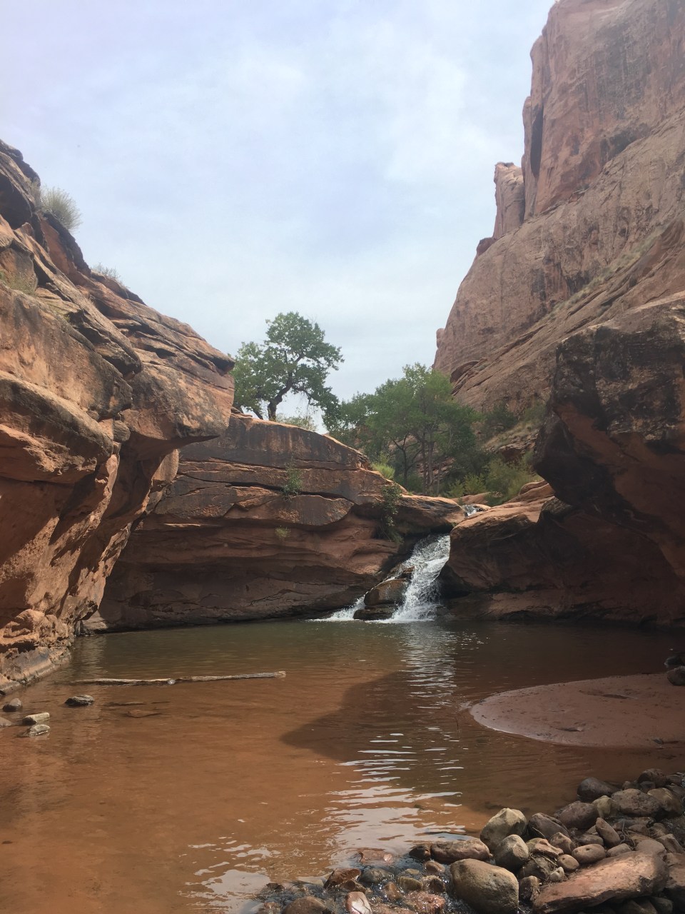
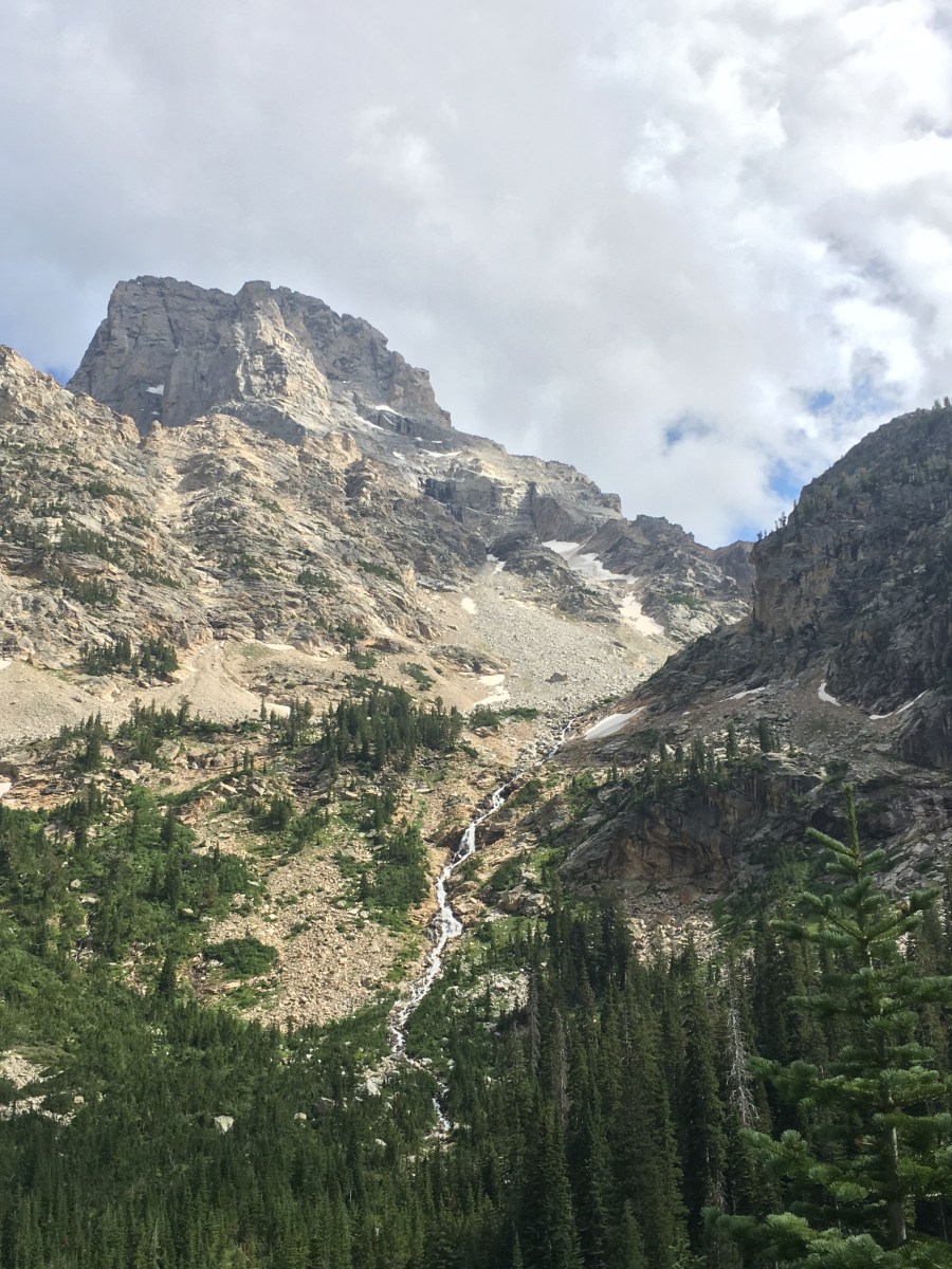
 When we could go no further on the rim there was a spot where we could descend back into the canyon following a cairned route down some ramps and ledges. Back on the canyon floor it suddenly felt like a rain forest, it was cooler, there was lots of vegetation, and a good amount of water. The vegetation created some bushwhacking and the water caused some navigational trickery but nothing we couldn’t manage.
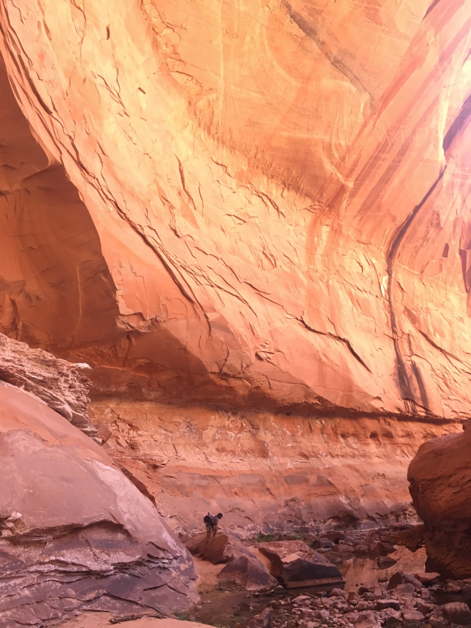

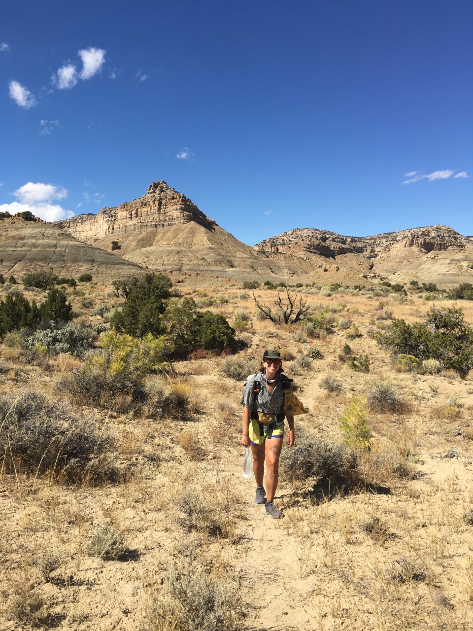
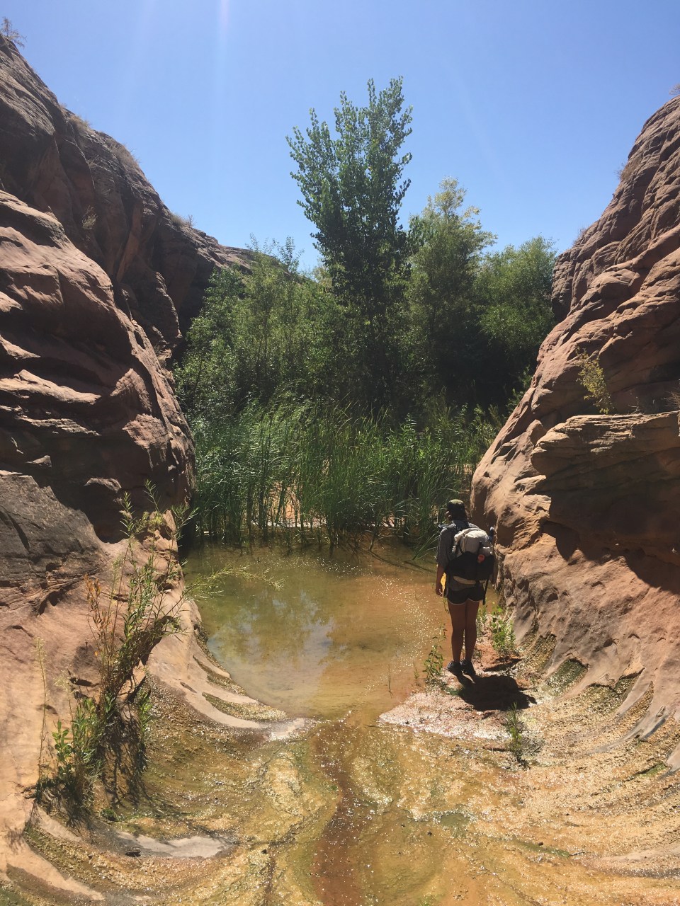
 We walked up the gulch this morning until reaching Hurricane Wash then followed that up for about 5 miles until it became real desert again when we came to a trailhead on Hole-in-the-Rock Road. We were 40 miles out on the dirt road from the town of Escalante with very little traffic so we started walking. After an hour Hazer drove by and picked us up. He’s been interning for the GSENM and was out this way cleaning some remote public bathrooms. On the ride into town he enlightened us on raising cattle, hunting mountain lions, and all things rodeo. It was quite fascinating. Escalante is becoming a busier tourist town every time we come through and seems to have everything necessary to be a good little trail town.
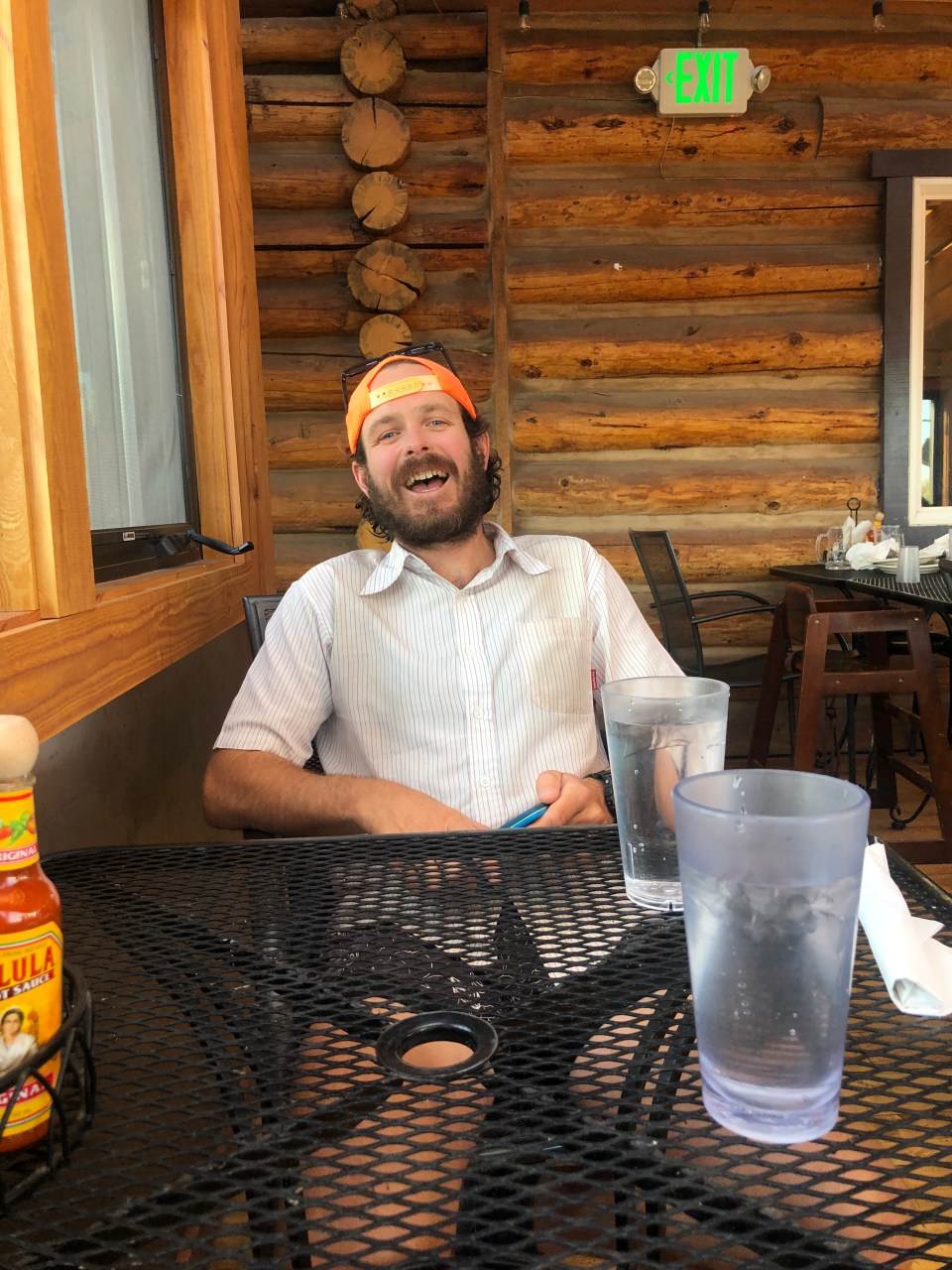 feel free to follow this blog and follow our instas for more pictures @endlesspsummer and @sarahikes
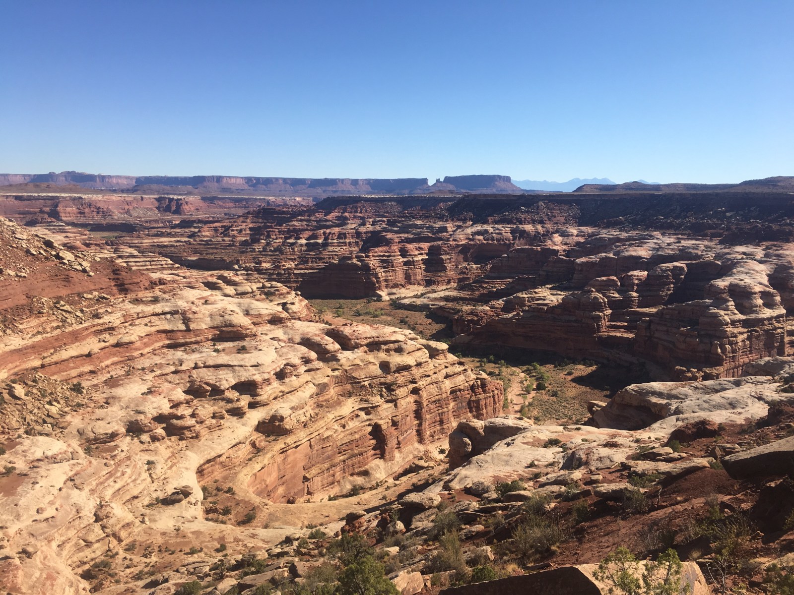
 From there we walked a handful of miles before coming to a ridge that overlooks ‘The Maze.’ This place is just other worldly! Its this huge sea of canyons and looks so unreal. We walked along slickrock for awhile until finding a good place to camp. It was a clear night and a good one to cowboy camp so we decided to forgo the tent.
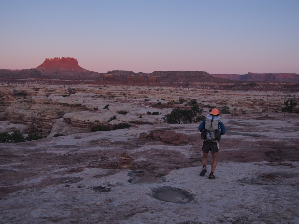

 If you’re planning to come through here note that we didn’t find any water at Maze Spring(doesn’t mean it wasn’t there). We did however come across a pool of decent water just off trail to the right about a half mile beyond where we expected Maze Spring to be. The climb out of the canyon took us up an adventurous route. There were some steep sections with class 3 climbing. At times we had to pass our packs up to each other and scramble up cracks in the rock. There was one ledge we had to shuffle around and then make an athletic move to get up onto the ridge but it wasn’t as scary as anticipated. It was fun.


 These slots were rad! They went on for a couple miles and got higher and tighter as we went. Eventually they spilled out into a larger canyon containing the Dirty Devil River.
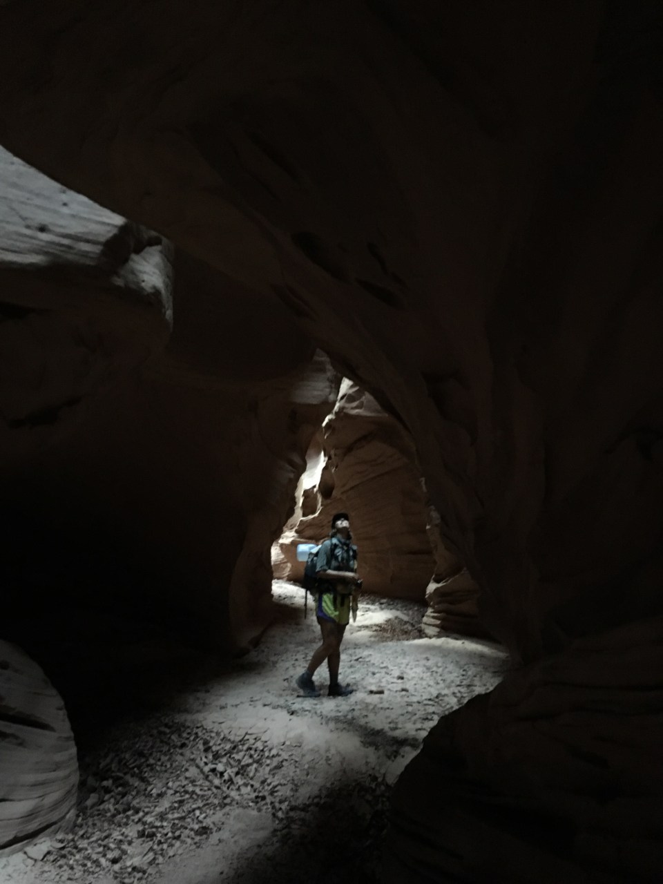
 feel free to follow this blog or find me on insta @endlesspsummer and QB @sarahikes
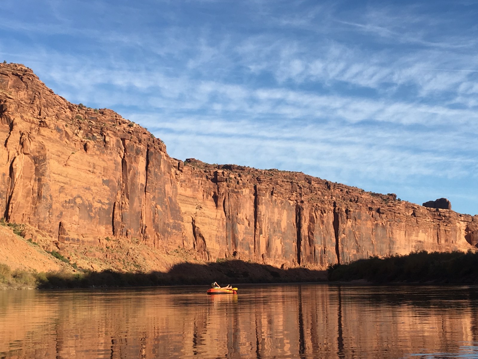

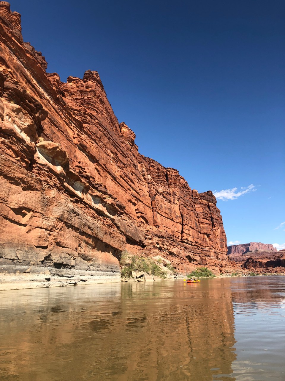
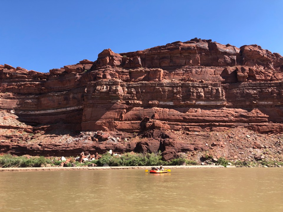

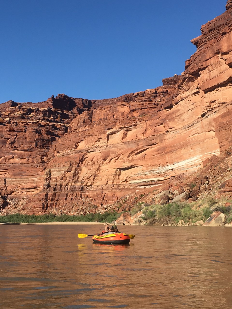

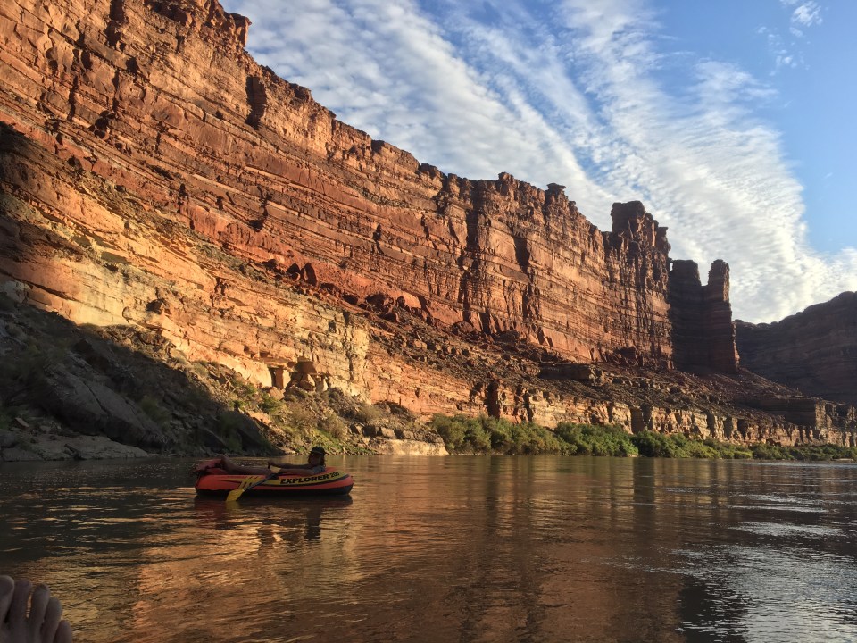
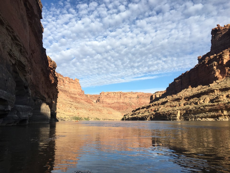

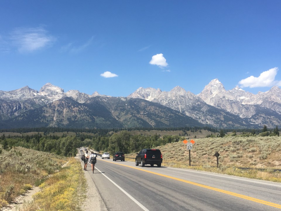
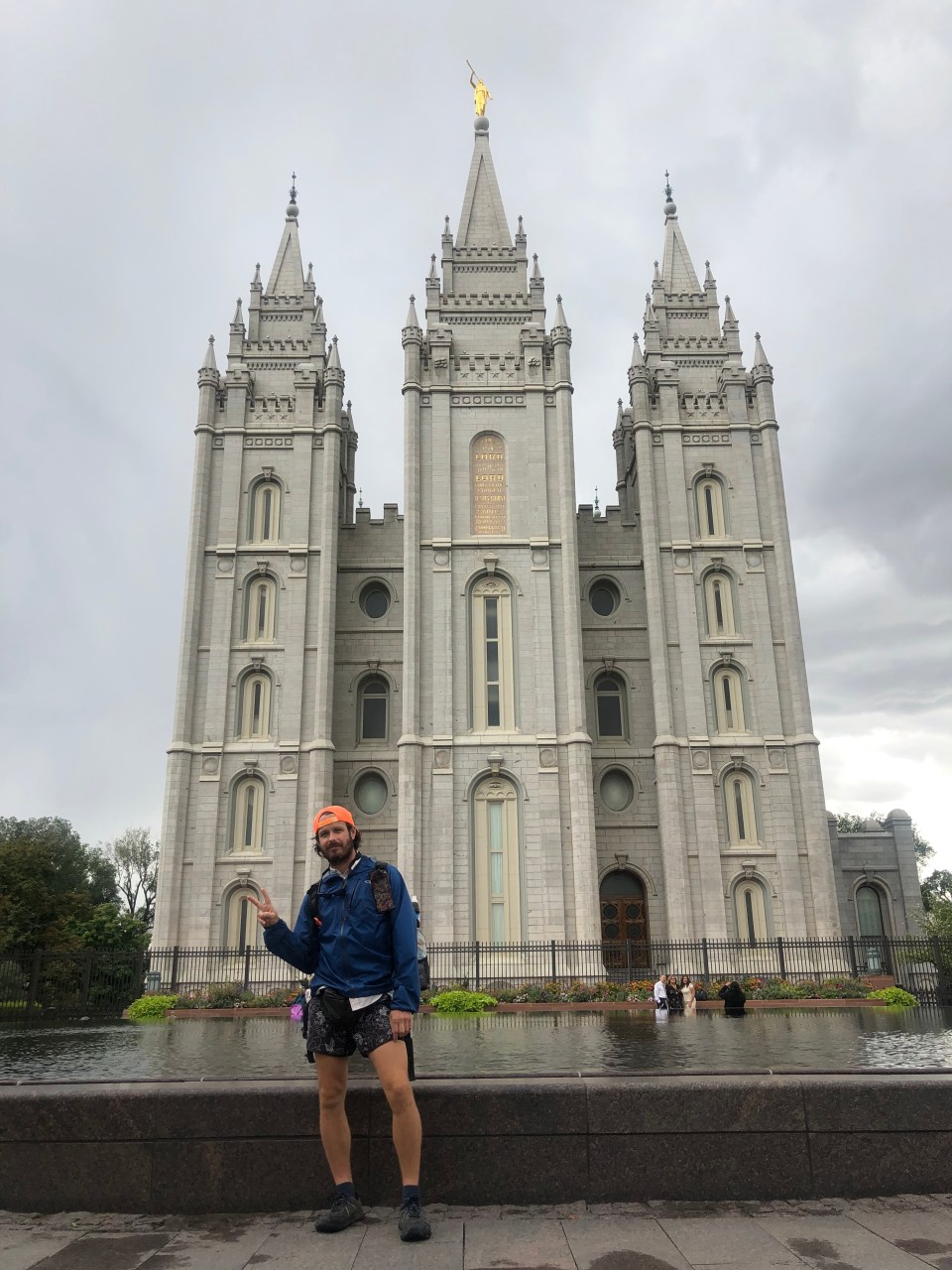 In Salt Lake we stayed with our friends Johnny and Karla aka the Eggs from the PCT in ‘15. The next morning Karla drove us to the train station in Lehi where we took public transit to Spanish Fork before we started hitching. We got 3 rides that brought us all the way to Moab from Alex, Amanda, and Rob with a stop in Helper, Utah to check out the town.
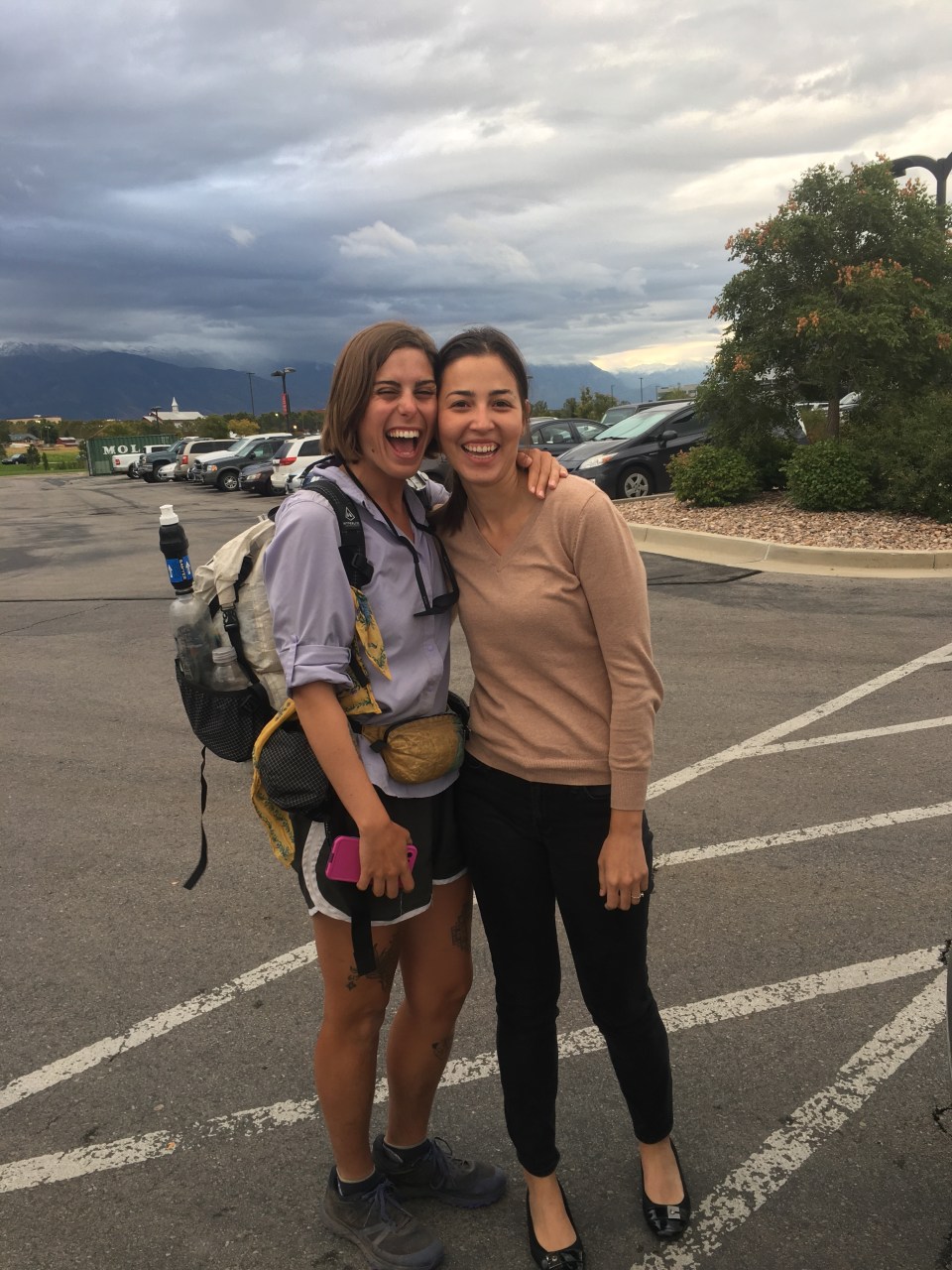


 The jeep roads were a breeze though and we walked along them for a few miles while the temperatures started to rise. We then left the road and picked up a fence line for awhile before dropping into a wash that we walked through until Willow Spring. Good thing we didn’t count on there being any water here because there wasn’t. Nice enough spot to take a lunch break though.
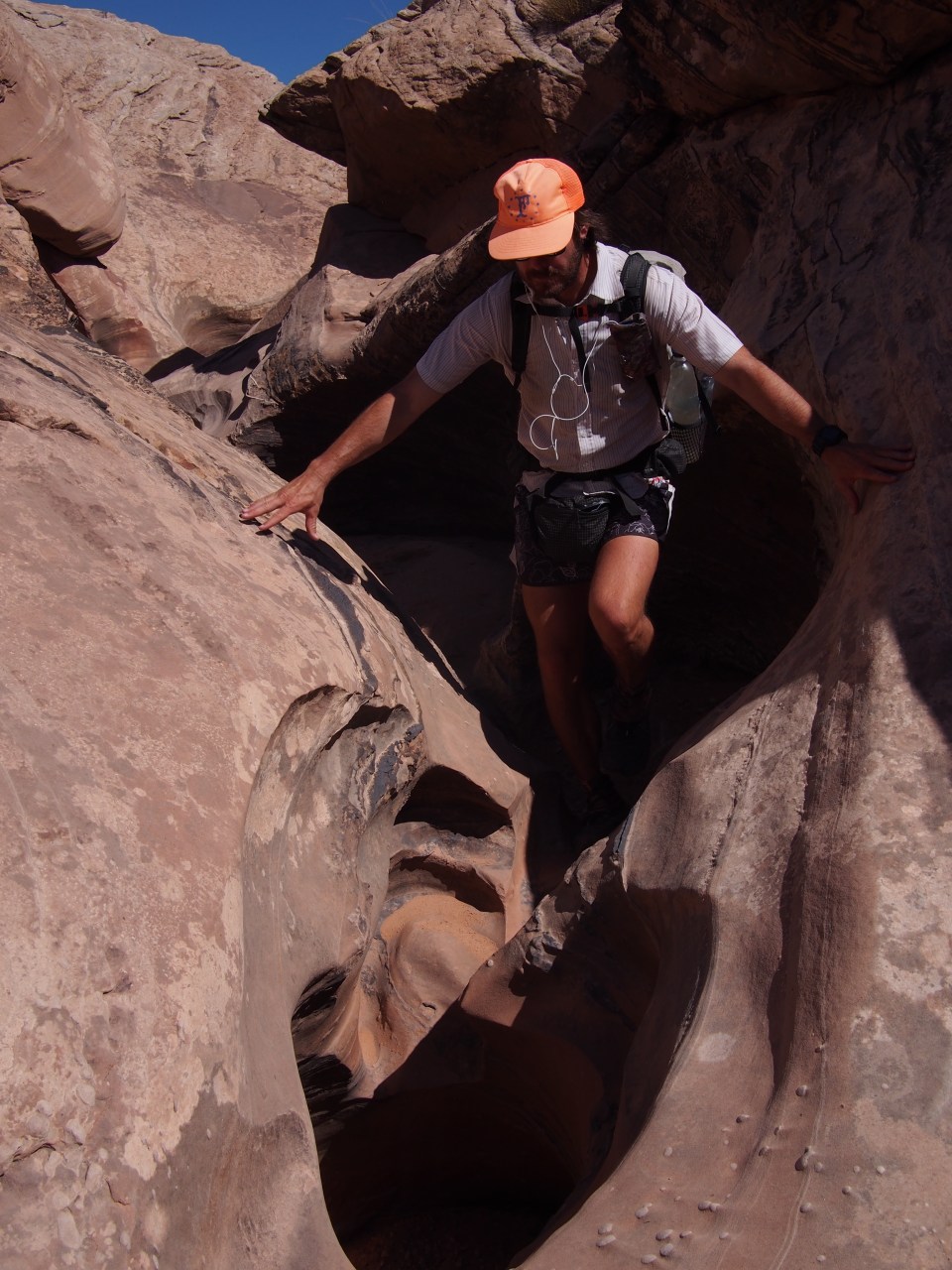
 It was just really dense reeds that we had to maneuver through, I sure could have used a machete but of course neither of us are carrying one. We had to keep crossing over the water also and at one point a beaver had dammed it and we were crossing through waste deep beaver water. At times it opened up and we could walk through sandy washes for awhile but inevitably we’d be right back in the middle of thick vegetation. It was pretty though, as we got lower the tall red canyon walls got higher and provided a nice backdrop to this bushwhacking nightmare.
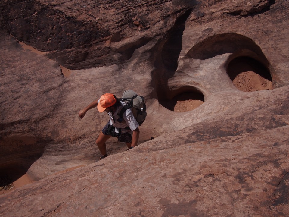
 @endlesspsummer


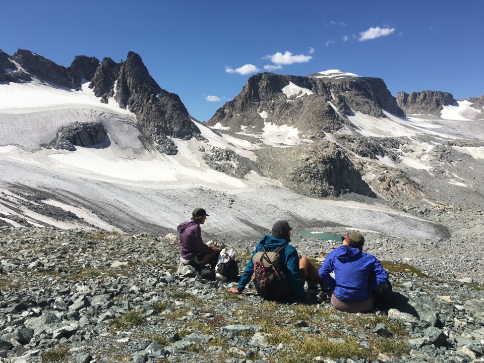
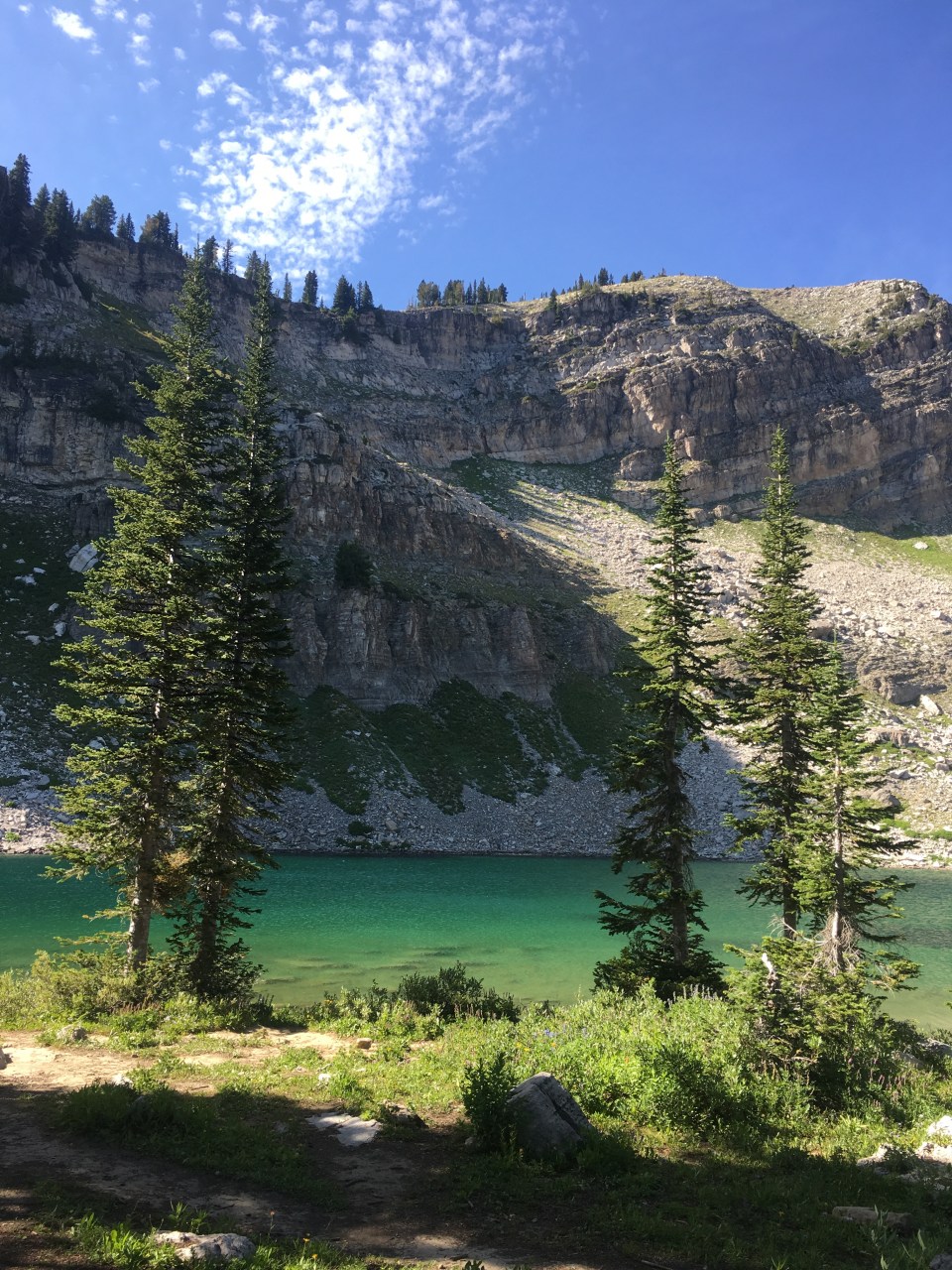
 Eventually we got to the top of Hurricane Pass and then crossed the boundary of the park into Jedediah Smith National Forest. Since there were no permits within the park we’re camping here tonight in the Alaska Basin by Sunset Lake.
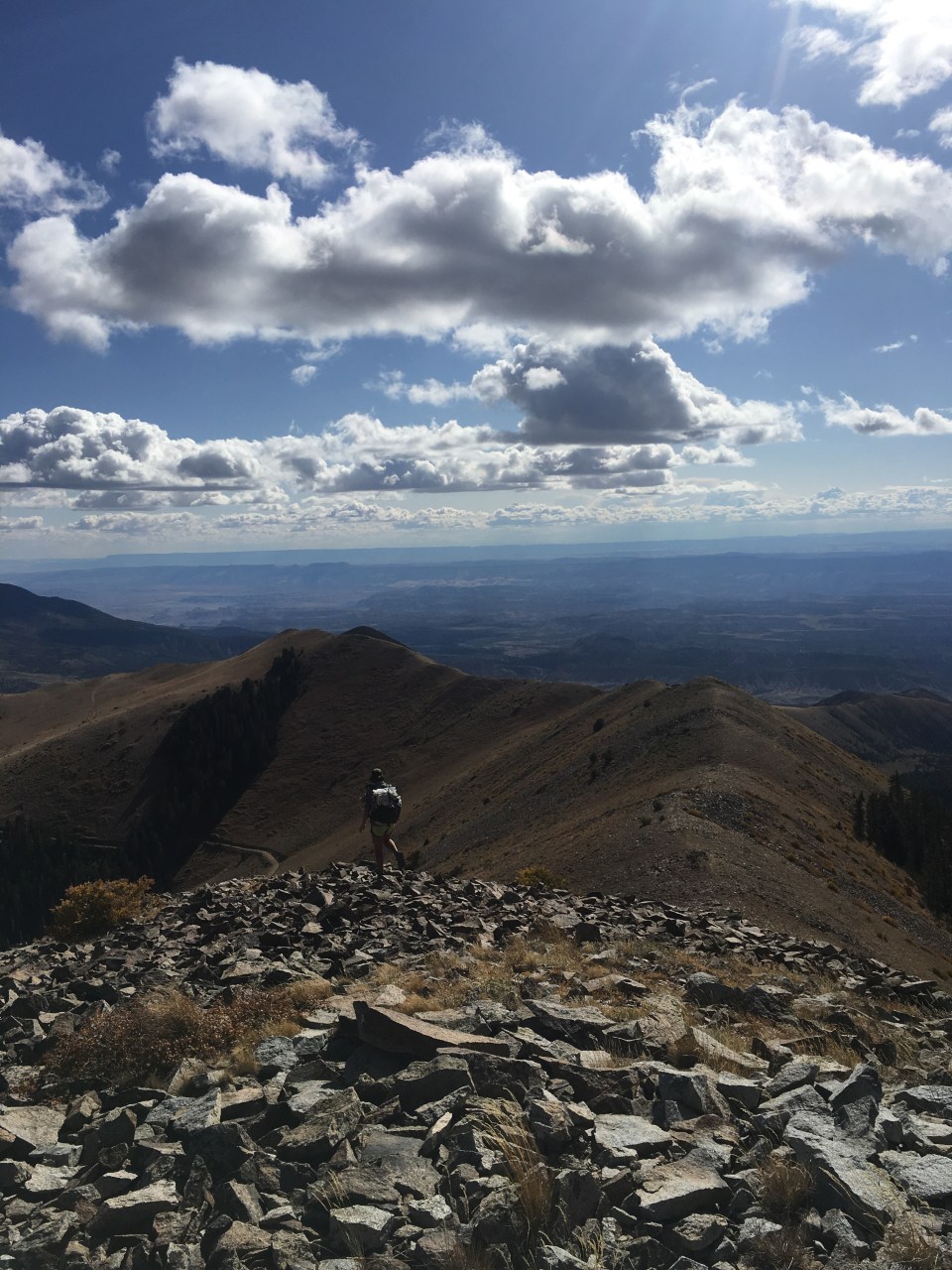
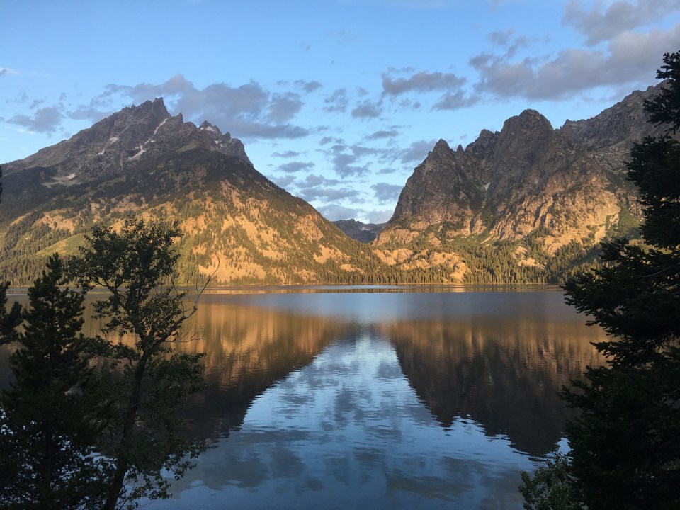
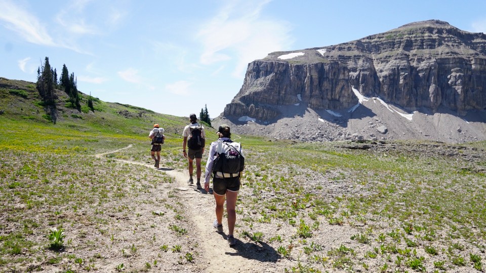
 From the summit we backtracked down until we were on the other side of Buck Mountain Pass and back in Alaska Basin. We passed a bunch of lakes before stopping at one to eat lunch and swim. My toe is bruised and it was still bleeding so after I swam I cleaned it and redressed it. Other than that it doesn’t hurt as bad as I thought it would.
 follow us on insta: @endlesspsummer, @sarahikes and @ourtrailingthought


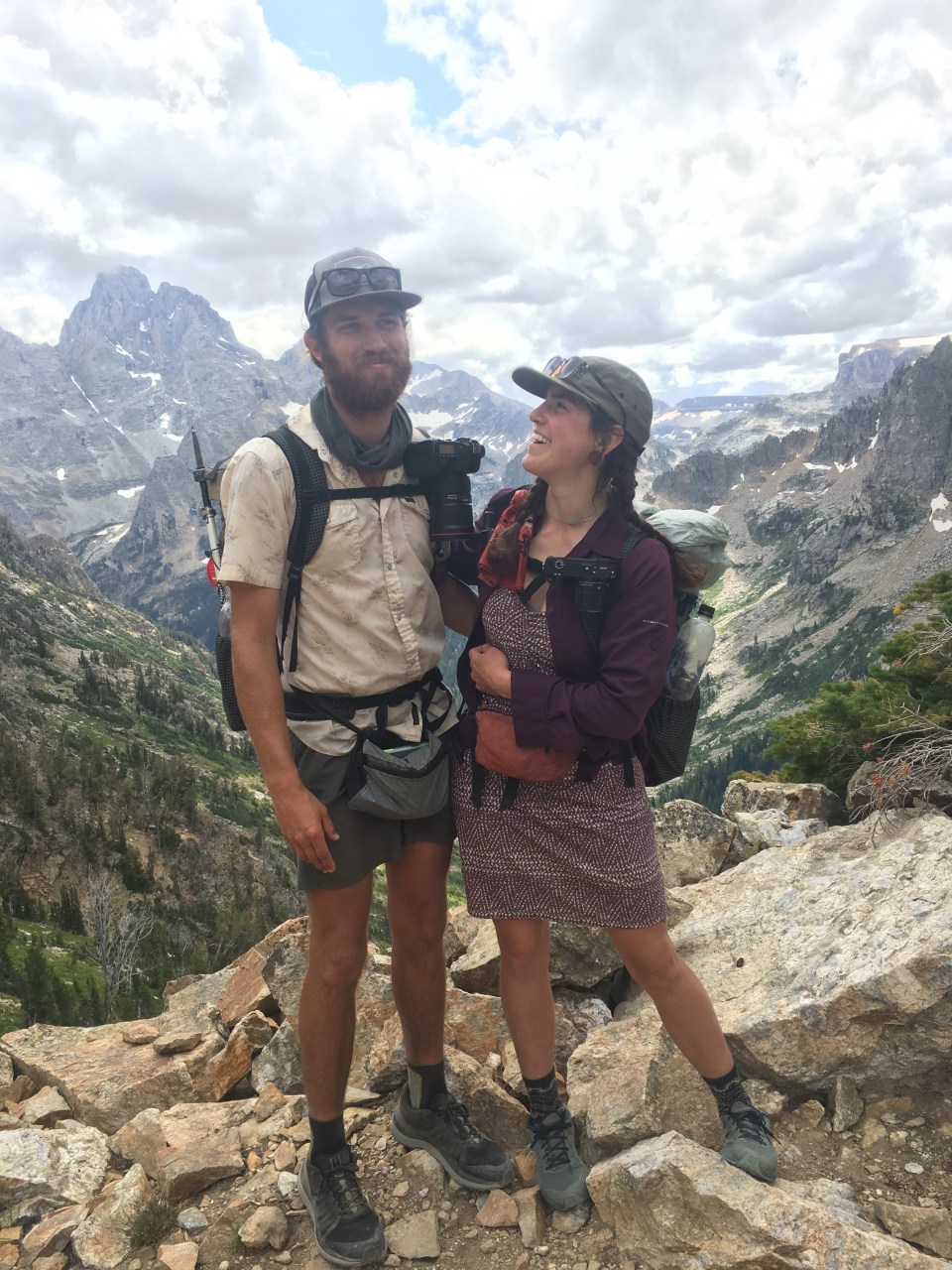
 Critter and Garbelly
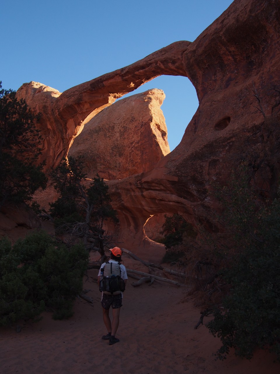
 Garbelly inside the Window