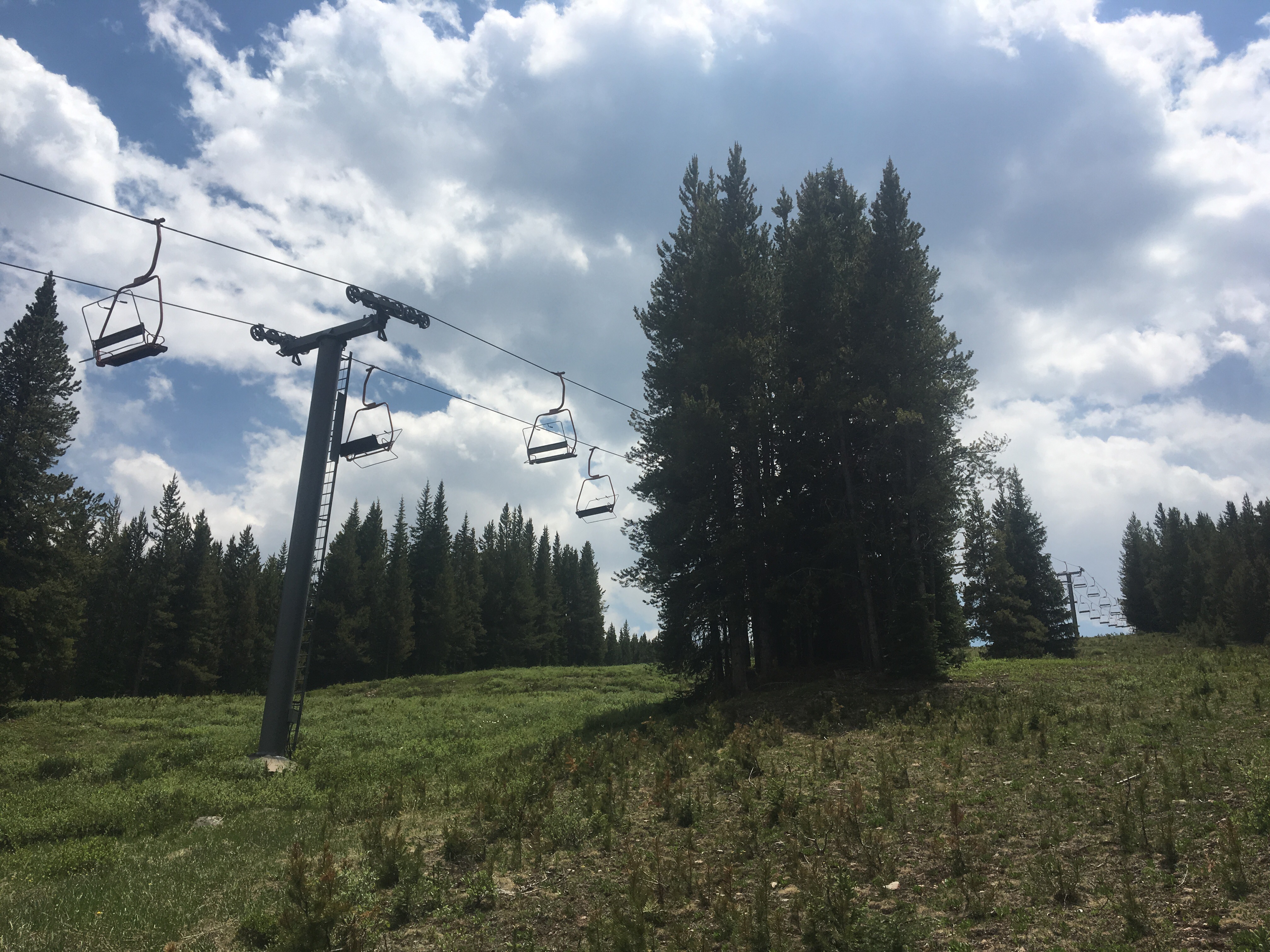
8/14/19…..Zero miles in Pagosa
We took the day off from hiking today and spent it in Pagosa. It was great! Took care of a few errands; doing laundry, buying food for the next section and eating a bunch of food of course. This town is really cool but it isn’t ideal for hikers. The only laundromat is 2 miles away from the downtown where we stayed and the Wal-Mart another mile from there. Instead of walking all over the place on our day off we just hitched around town which made life easier.
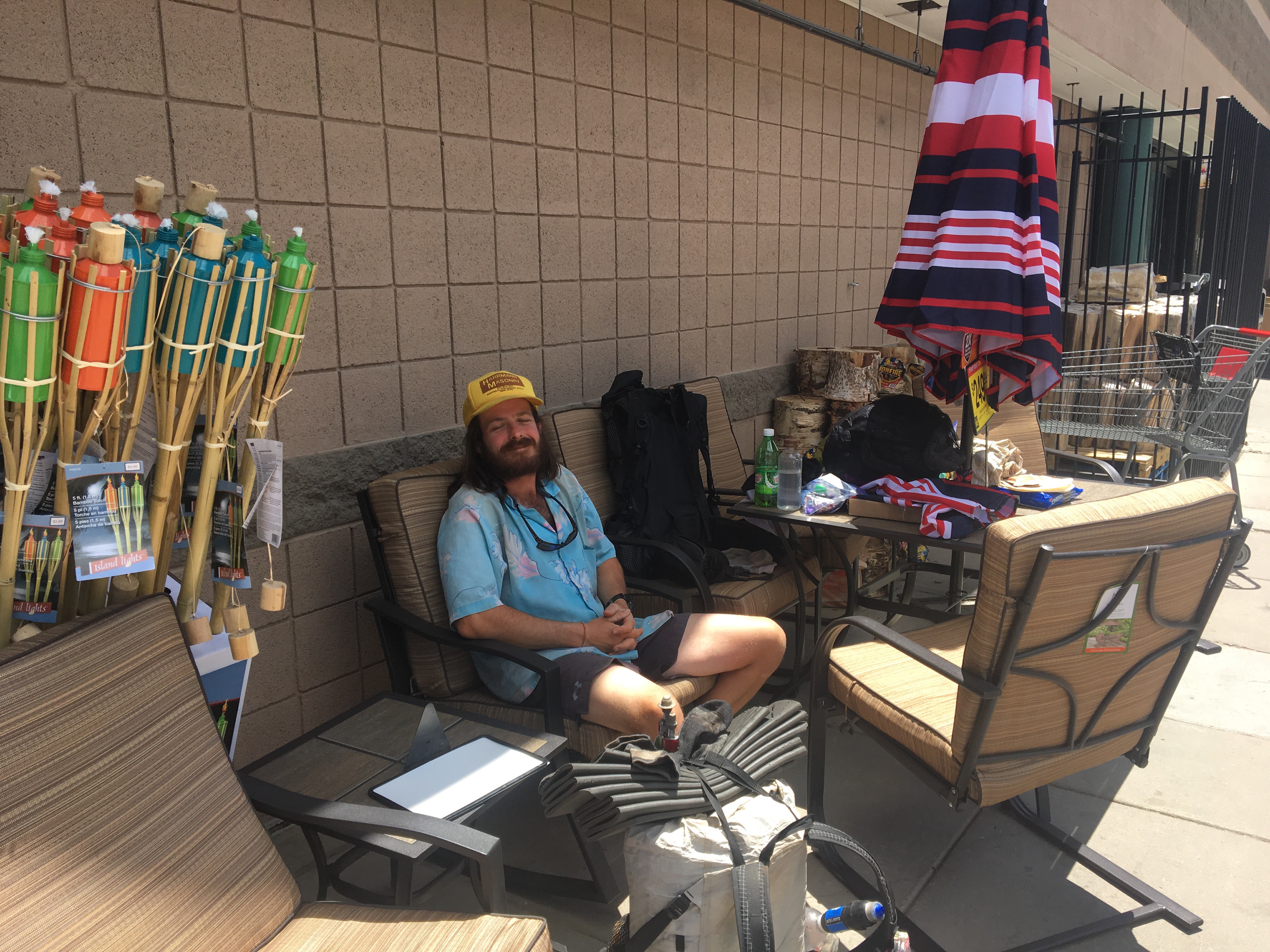
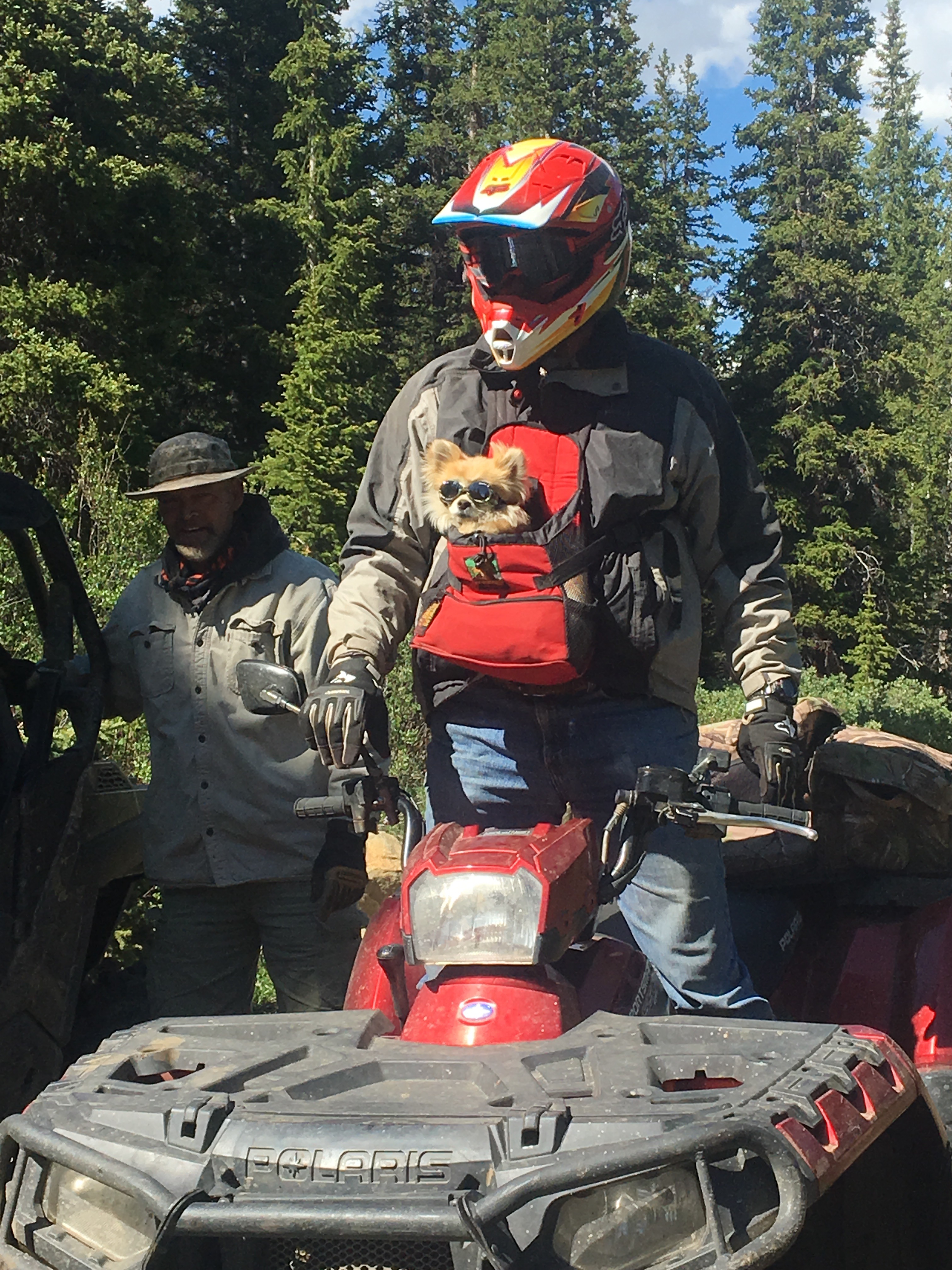
This afternoon our friends Garbelly and Critter hitched into town and our joining us for the next few weeks or so. These 2 are currently 850 miles into an Appalachian Trail southbound thru hike. I went out and camped with them a couple weeks ago in NY and told them our upcoming plan. I swear I wasn’t trying to persuade them to join us, but not long after that they took an ‘alternate’ in New Jersey. They rented a car, drove to Buffalo, then to Nashville, then flew to Denver. From Denver they spent a day and a half taking buses and hitchhiking before crawling into Pagosa this afternoon. I know I’ve introduced these 2 in this blog before but in case you forgot; Garbelly and Critter are from Nashville where he works as an arborist and Critter is a fly fishing guide. I first met Garbelly on the PCT in ’15 and then we hiked with both of them in ’17 on the CDT. They are very fun, and very rad. If you don’t believe me check out their blog: trailingthought.com
The 4 of us had a nice soak in the local hippy dip, this is basically a free hot spring along the San Juan River formed from the runoff of the hot water coming from the resort hot springs. We got pizzas then met up with our friend Smiley for ice creams. Smiley has been thru hiking for years and lately has been living in and enjoying Pagosa Springs. He adopted and takes care of a section of trail that we’ve got coming up. We’ll definitely be going over that section with a fine tooth comb and promptly reporting to the CDTC. 
8/15…..CDT Mile 882.3…..20.5 miles
First thing this morning we did a decent job on the San Juan Motel continental breakfast. All you can eat Toaster Strudel and I haven’t had one of those since the 90’s and then I was always fighting over them with my siblings.
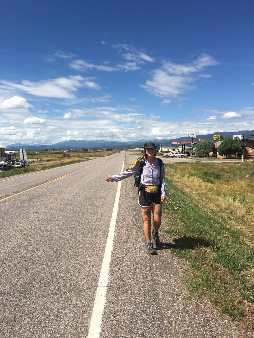
Since a foursome hitching back up to Wolf Creek Pass would never work, we split up. QB and I got picked up by Jeff, a builder, who moved his family out here 20 years ago for the skiing. We stopped at his house in a neighborhood 6 miles out of town closer to the Pass. He built the house himself out of refurbished antique timber. Critter and Garbelly got picked up by some hikers and met us at the trailhead.
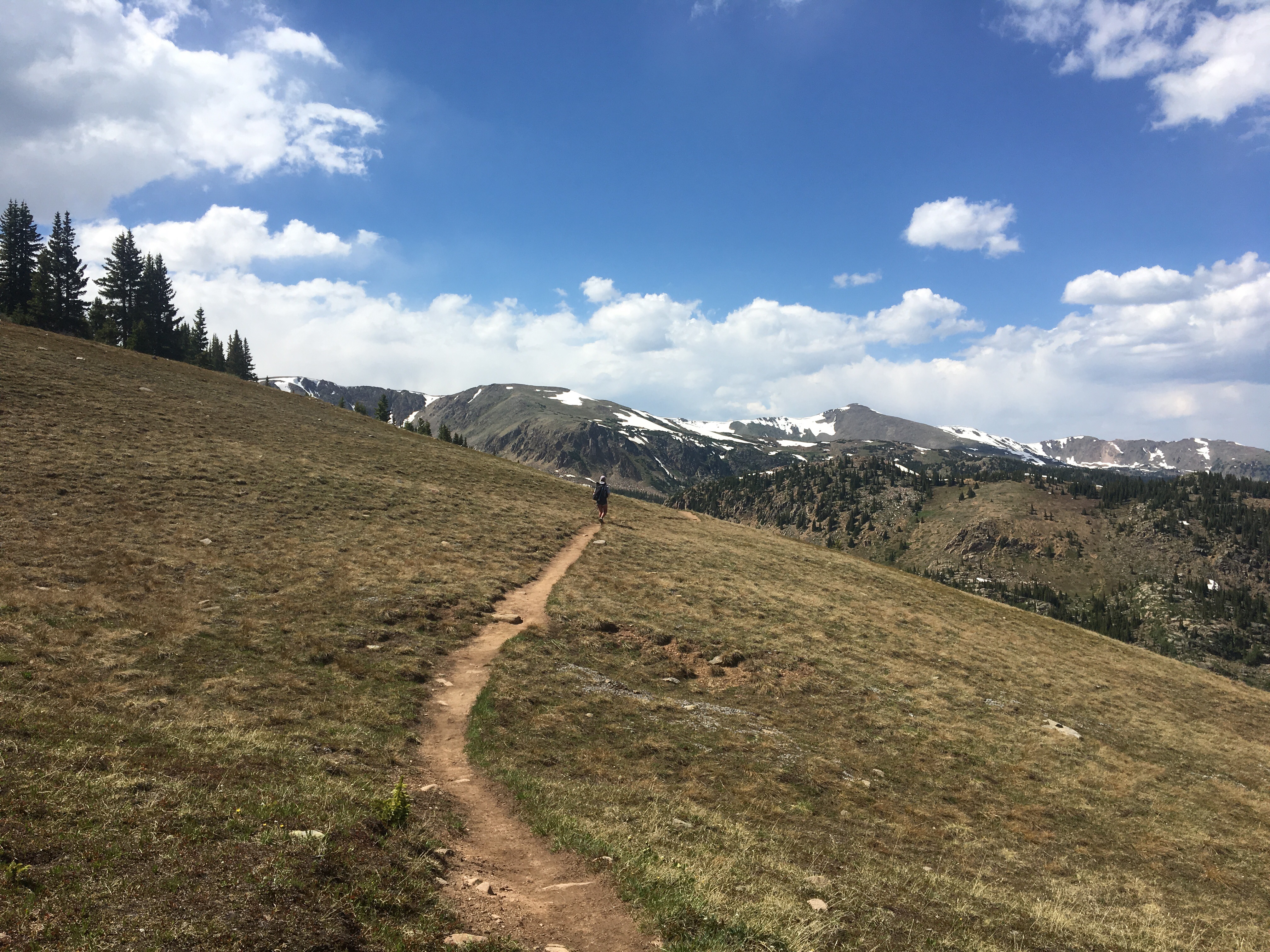
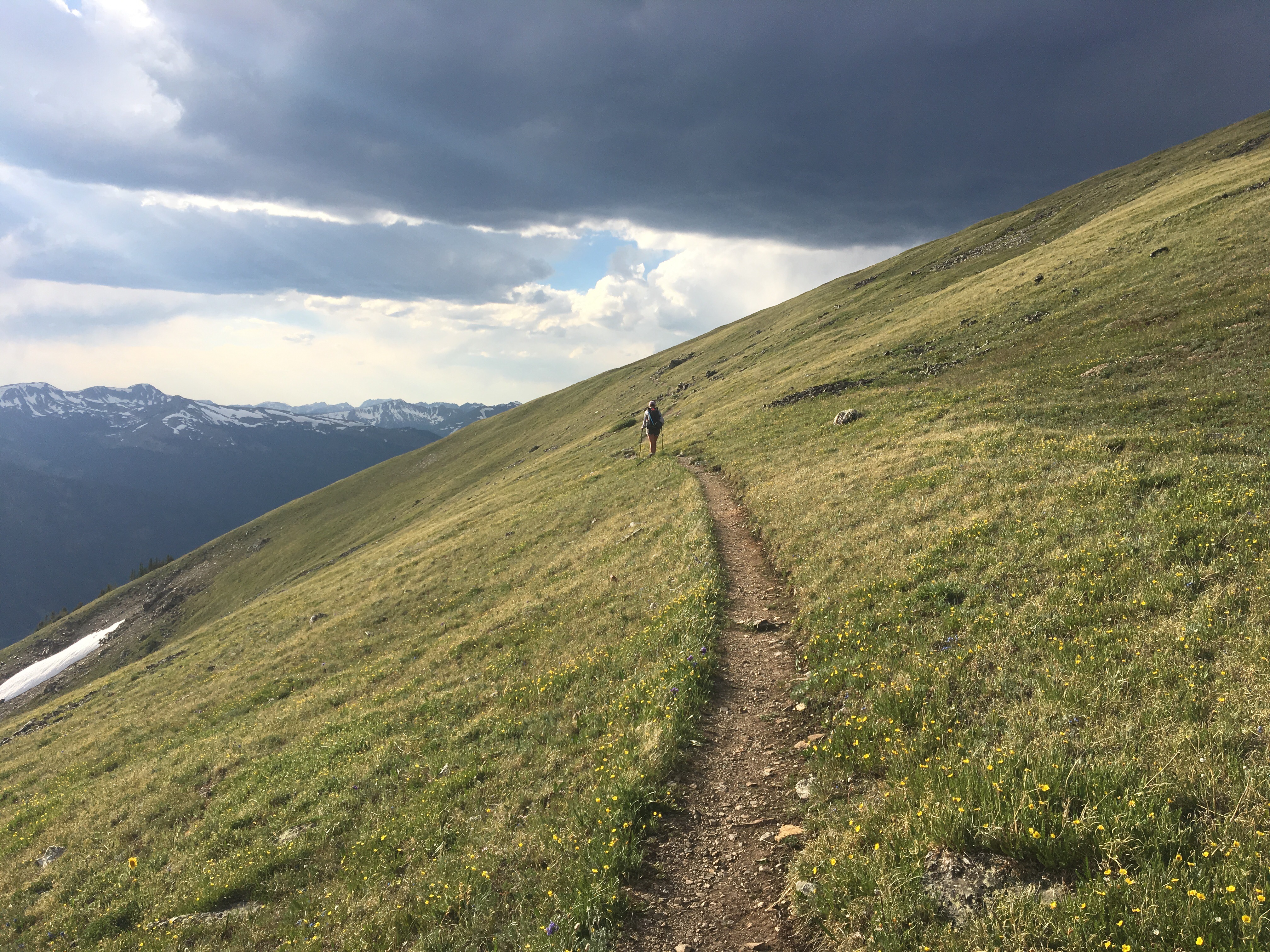
The hiking today was so much fun. Much easier and more relaxing than the last time we came through here. We did get delayed a little bit when a hail storm rolled through so instead of following the trail up and over a ridge the 4 of us quickly set up the fly to our tent and waited out the weather. After that it was smooth sailing the rest of the day. We passed the Creede Cutoff route that we had all taken back in ‘17. For our friends the trail was all new after the cutoff. (The Creede Cutoff is a lower route through the San Juan’s that is often taken in during lousy weather conditions). Unfortunately for me and QB, in ‘17 we carried on past the cutoff before coming to an impasse and having to backtrack costing us multiple days. More on that later. 
Because of our late start and the delay waiting out the weather we hiked until sunset to get to where we were going. We found a really pretty campsite on somewhat uneven terrain. Hope it will do.
8/16/19…..CDT Mile 904.8…..22.5 miles
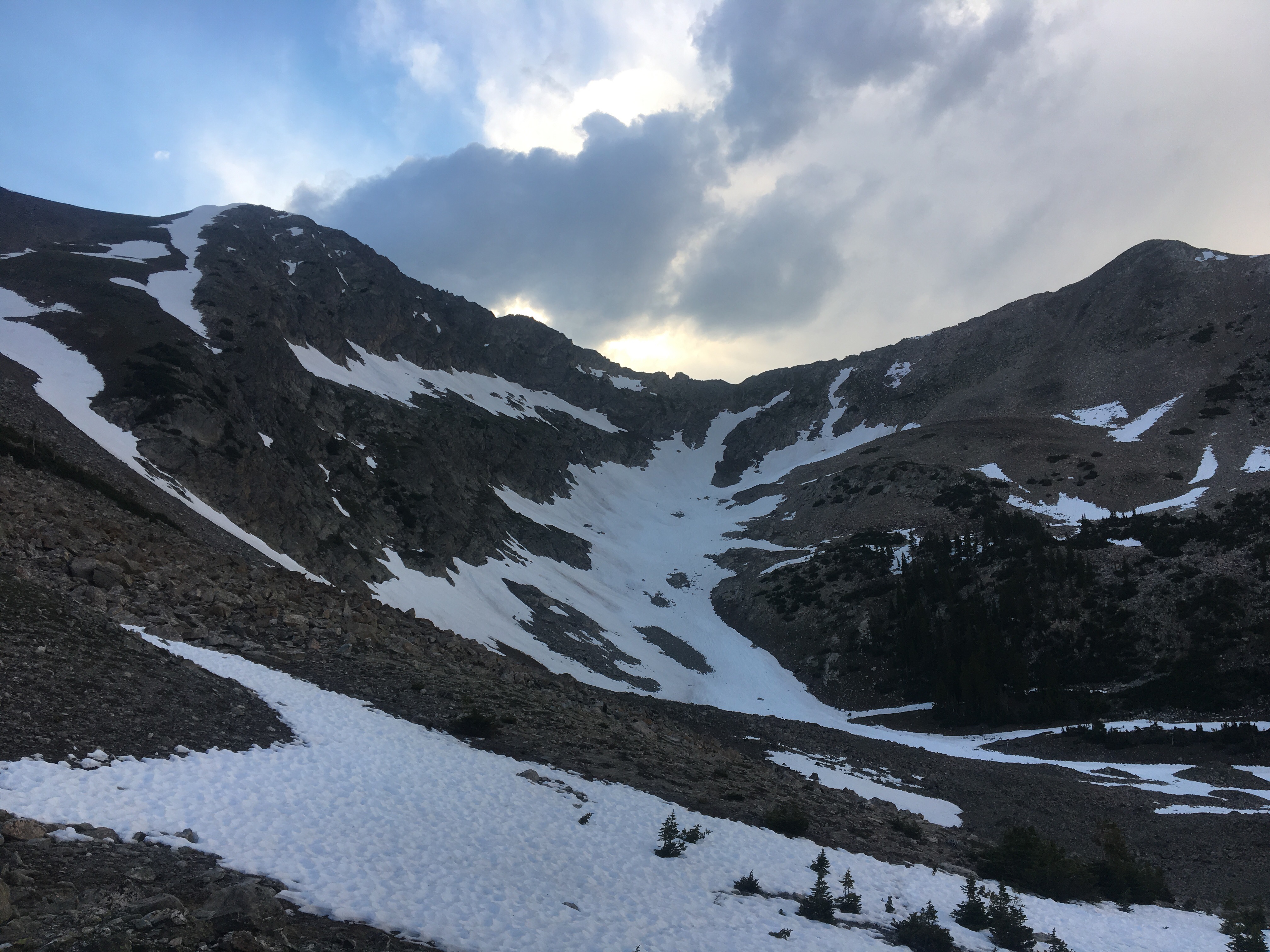
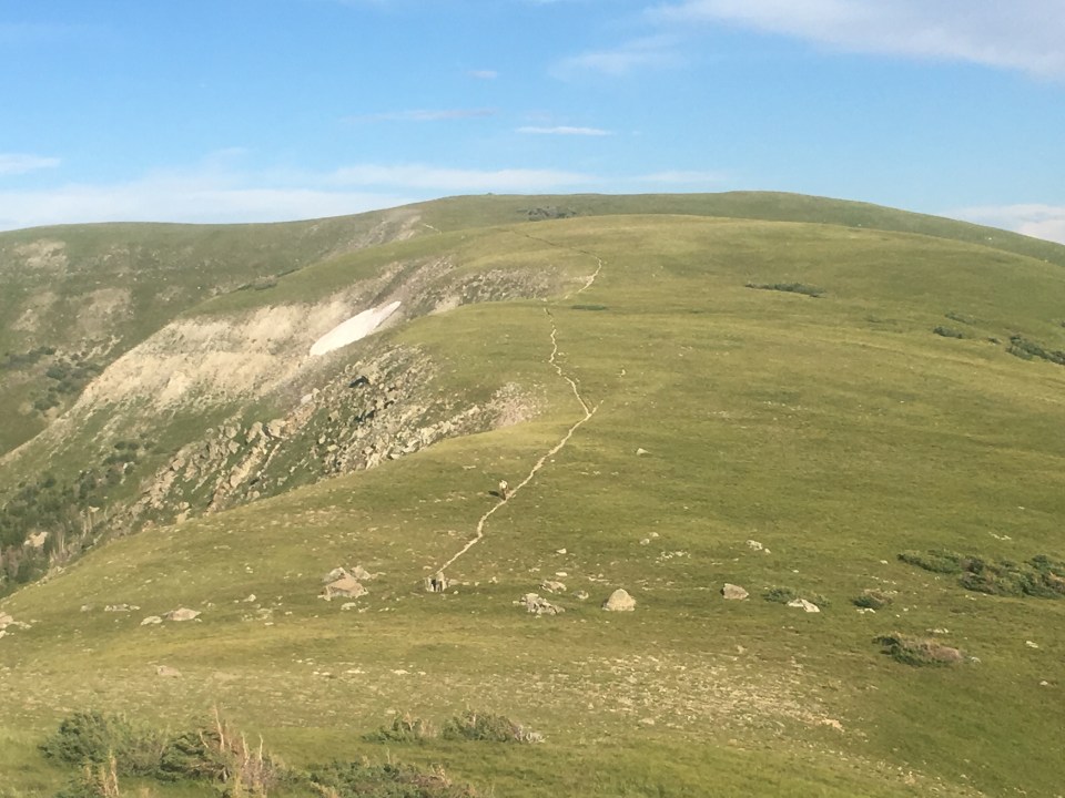
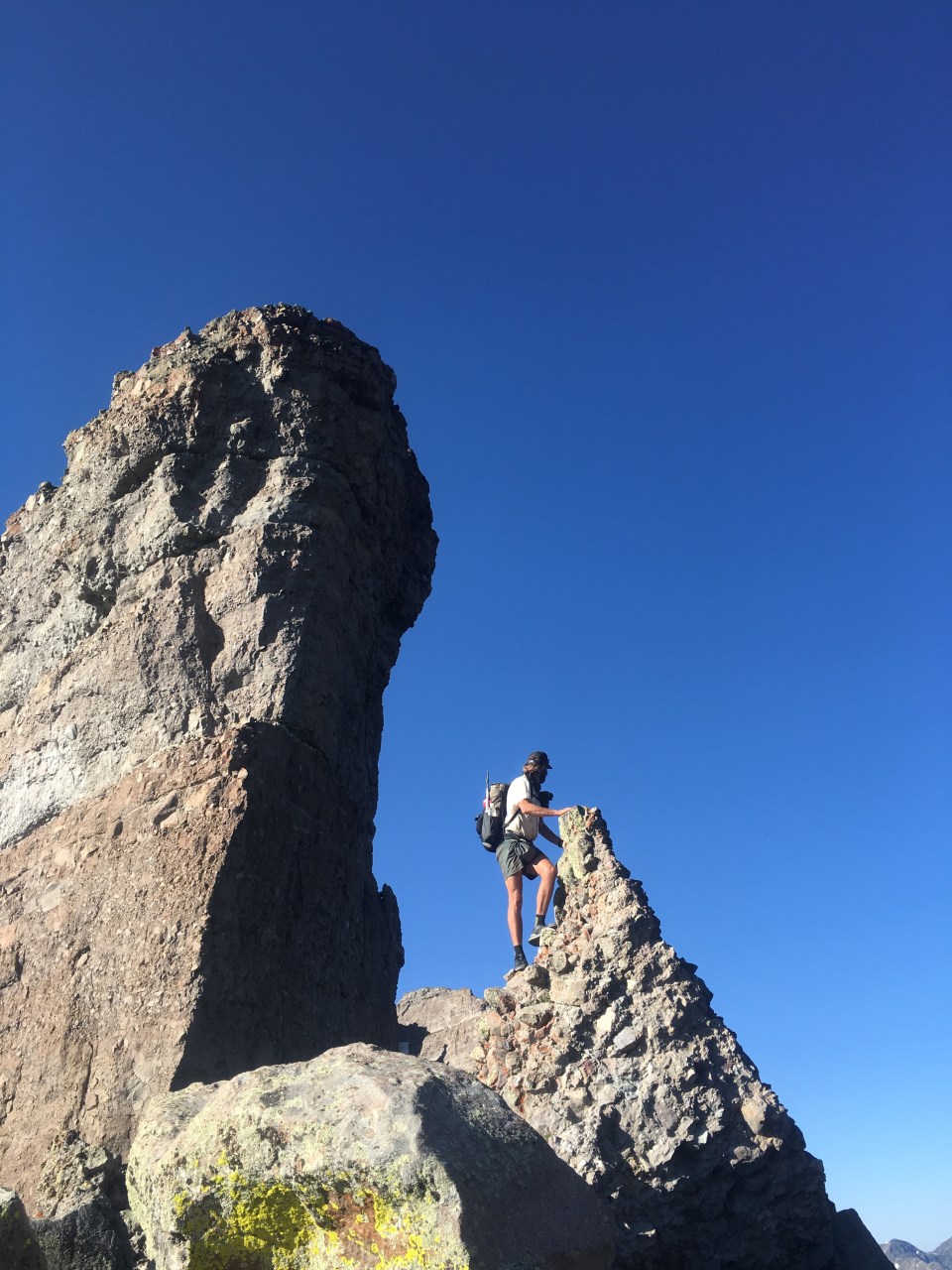
I made over the dastardly Knife’s Edge today. In ‘17 QB and I decided against crossing the narrow trail in the snow and decided the safer thing to do would be to find another way through the San Juan’s. We made a couple of mistakes before cutting our losses and heading south to the Creede Cutoff. I wrote more about it then and you can go back in my blog and check it out. Since then the Knife’s Edge has been the asterisk on my CDT thru hike.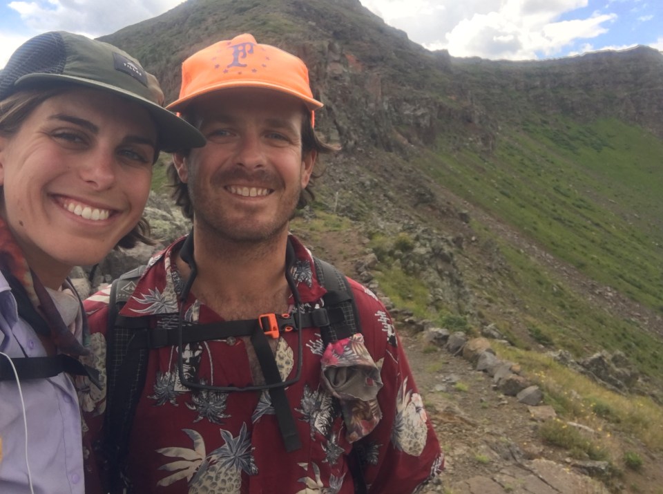
Today we got across it. Granted there was barely any snow and it was much simpler, I’m still glad I wasn’t snowshoeing across it. From here until the Colorado Trail intersection the trail is all new to me and QB.
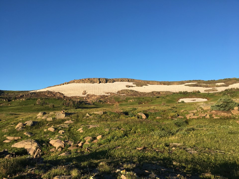
Besides the pinnacle of the day the rest of the hiking was really good. We seemed to have some big climbs or maybe they felt that way since we’re up over 12,000 feet and we somehow dodged significant rain and thunderstorms all day. In the evening we saw in the distance the biggest herd of elk I’ve ever seen. A conservative guess would be 120 elk but probably more like 150(the number grows every time we talk about them). We’re camping at Squaw Pass tonight which feels more like a valley and we all had nice fat bags of Mac n’ Cheese.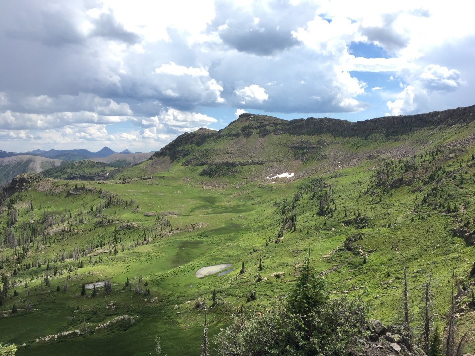
8/17/19…..CDT Mile 919.9…..15.1 miles
We strategically had a shorter day today in order to camp below 11,000 feet, and to prevent us from camping well over 12,000 the next 2 nights. It was very relaxing and enjoyable.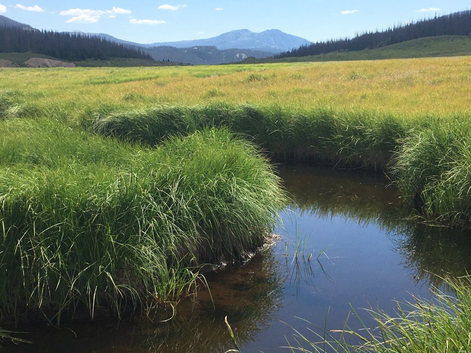
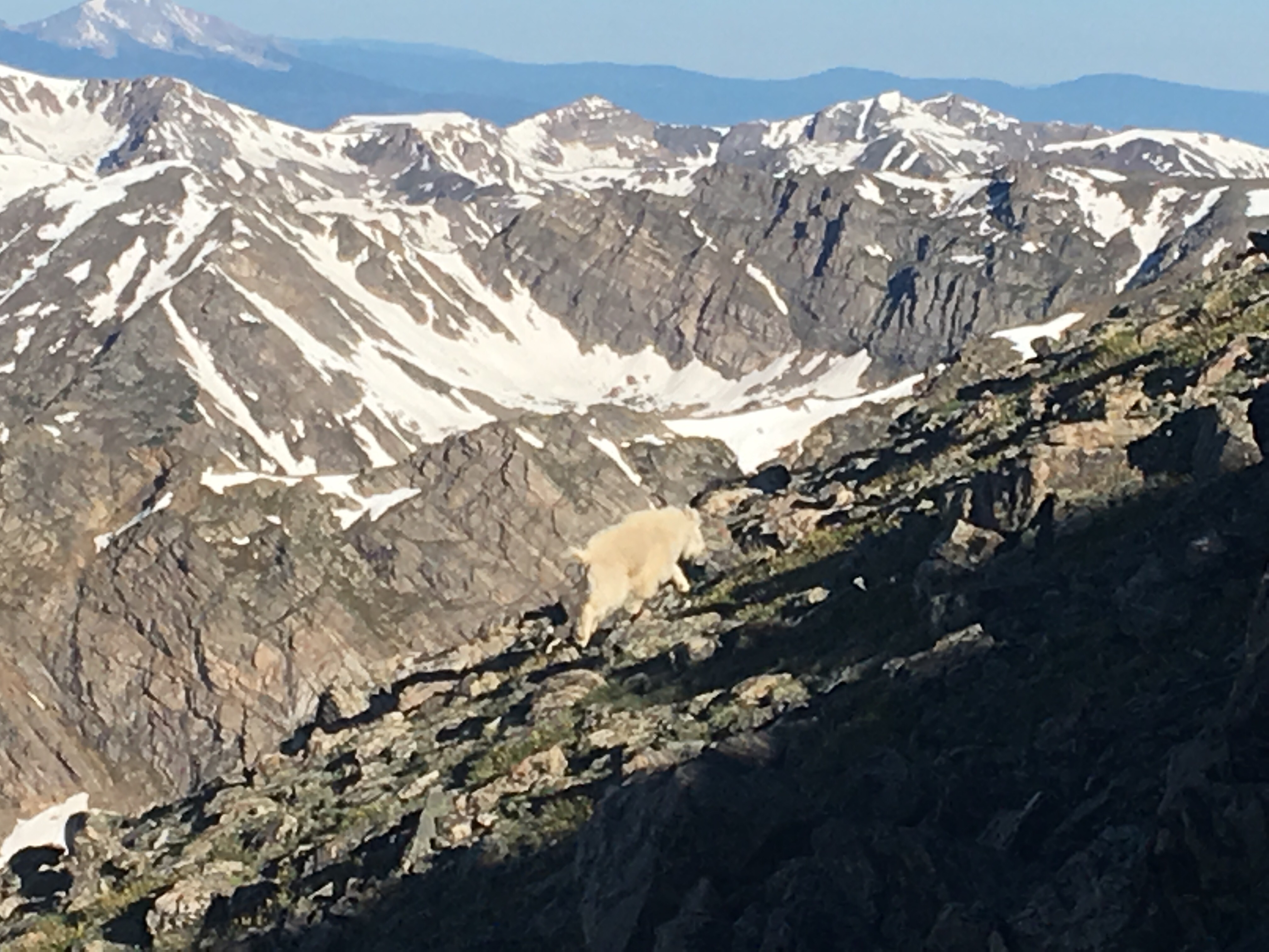
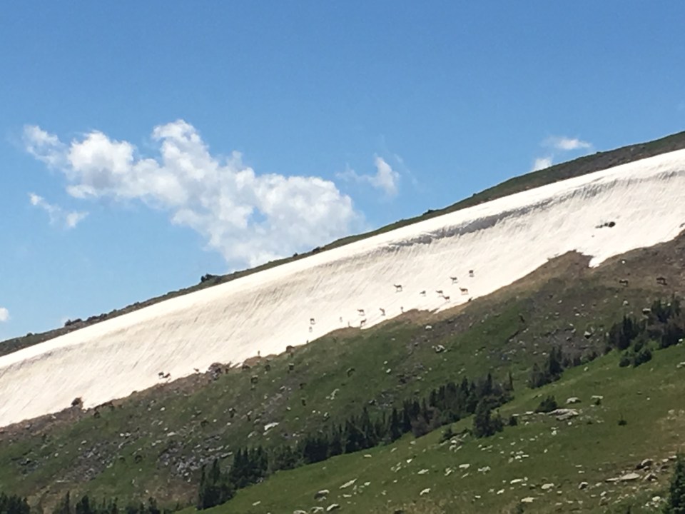
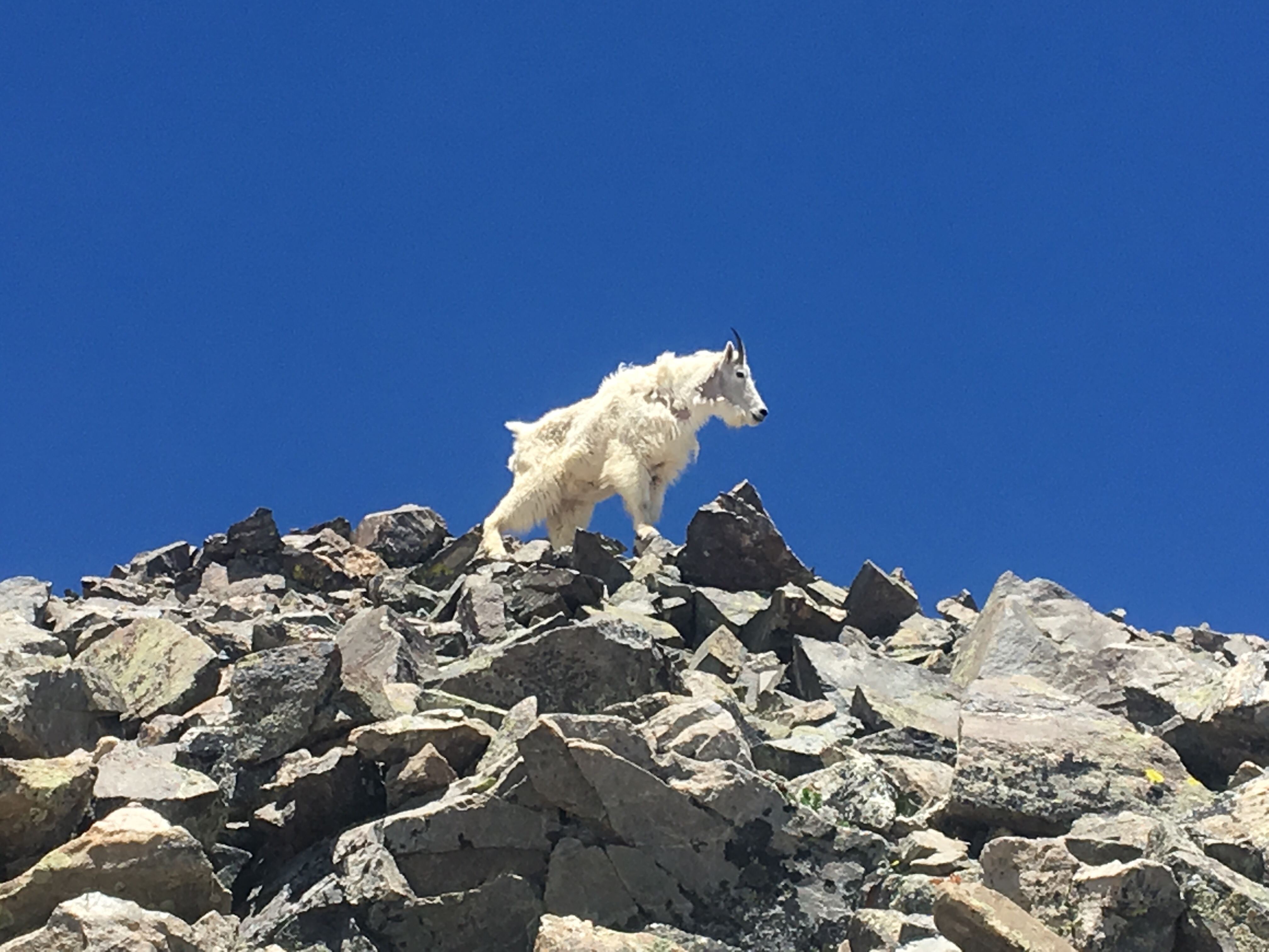
Squaw Pass was cold last night and there was frost on both tents when we woke up. There was a long climb out of camp and all morning we had incredible views. We saw more elk and for the first time of this trip we saw about a dozen big horn sheep.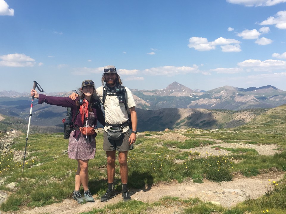 Critter and Garbelly
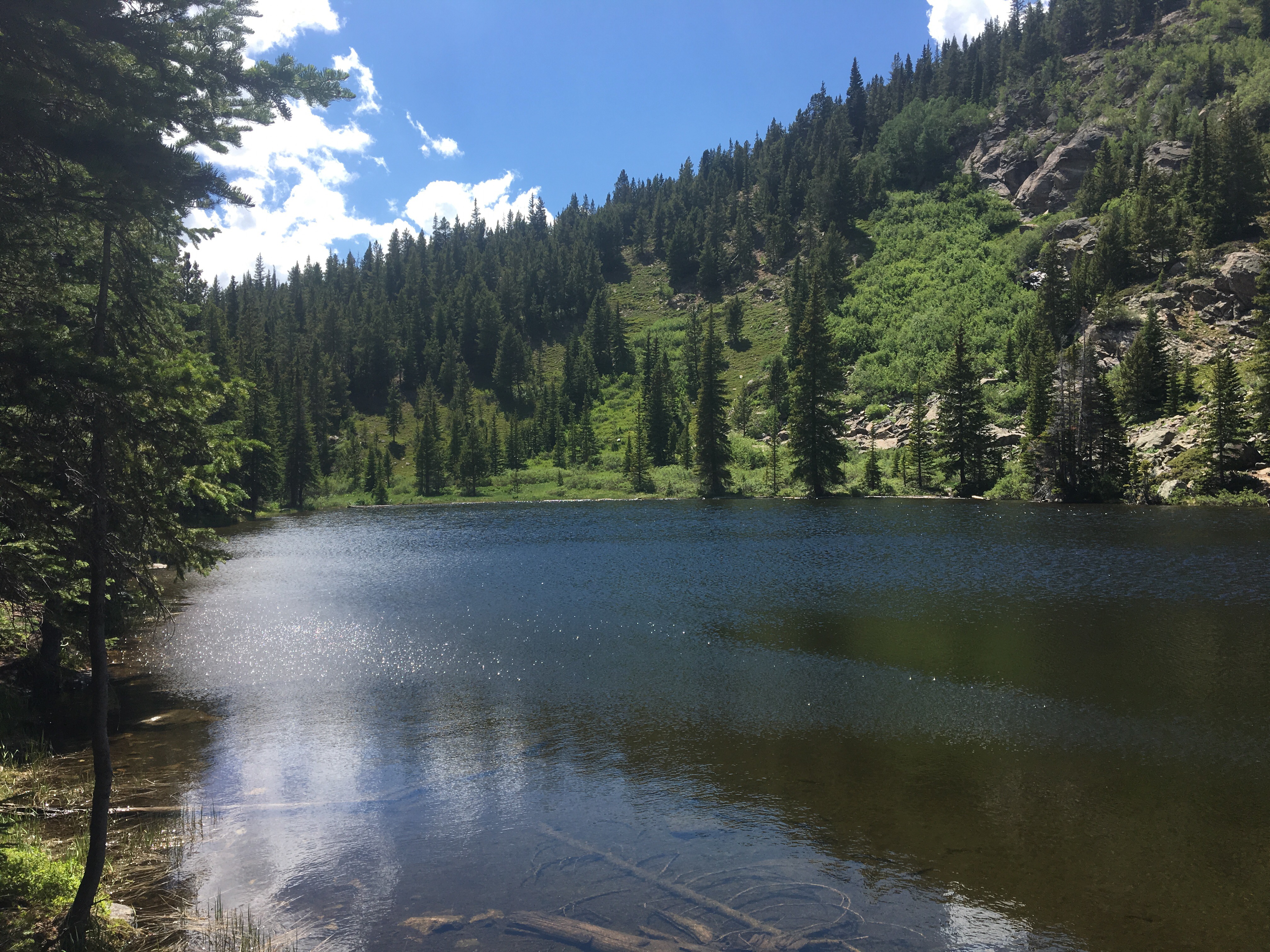
This afternoon we walked across a marshy area with a couple of river crossings/jumps and then we were back climbing into the woods. We found a spot to camp in some trees next to a creek in the shadow of a beefy mountain. I was able to sit in the creek and cool off a little but it wasn’t ideal for getting myself fully submerged.
8/18/19…..CDT Mile 938.3…..18.4 miles
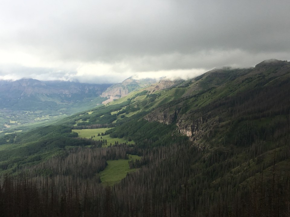
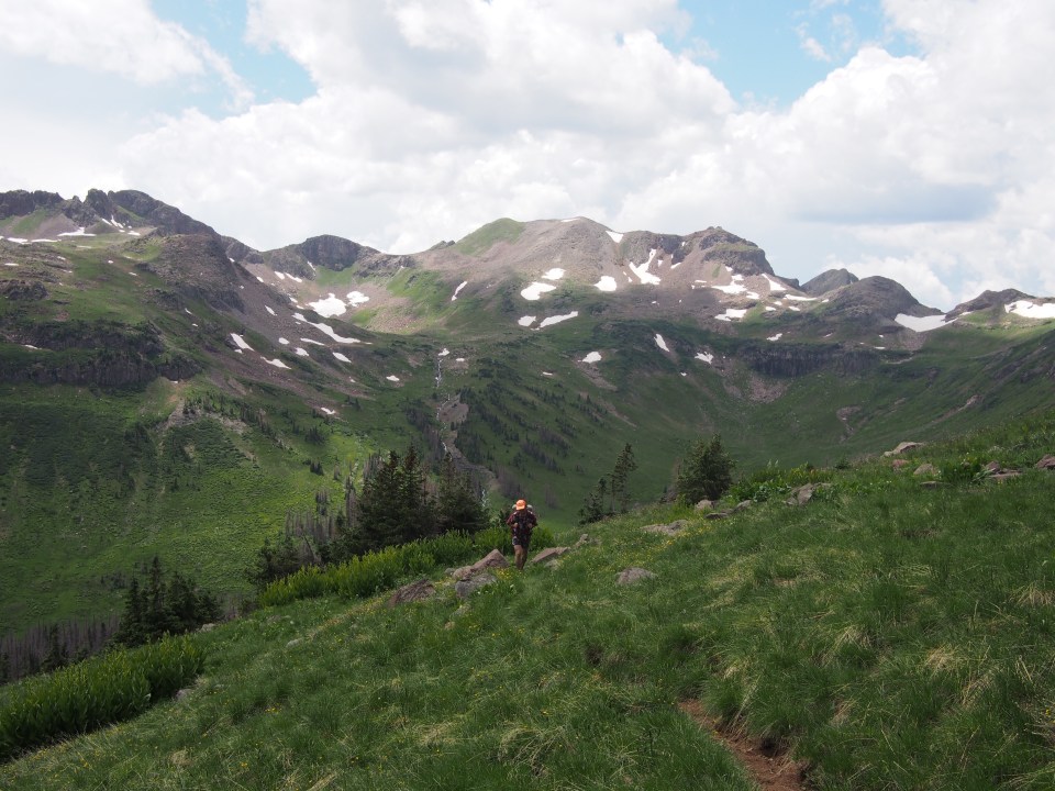
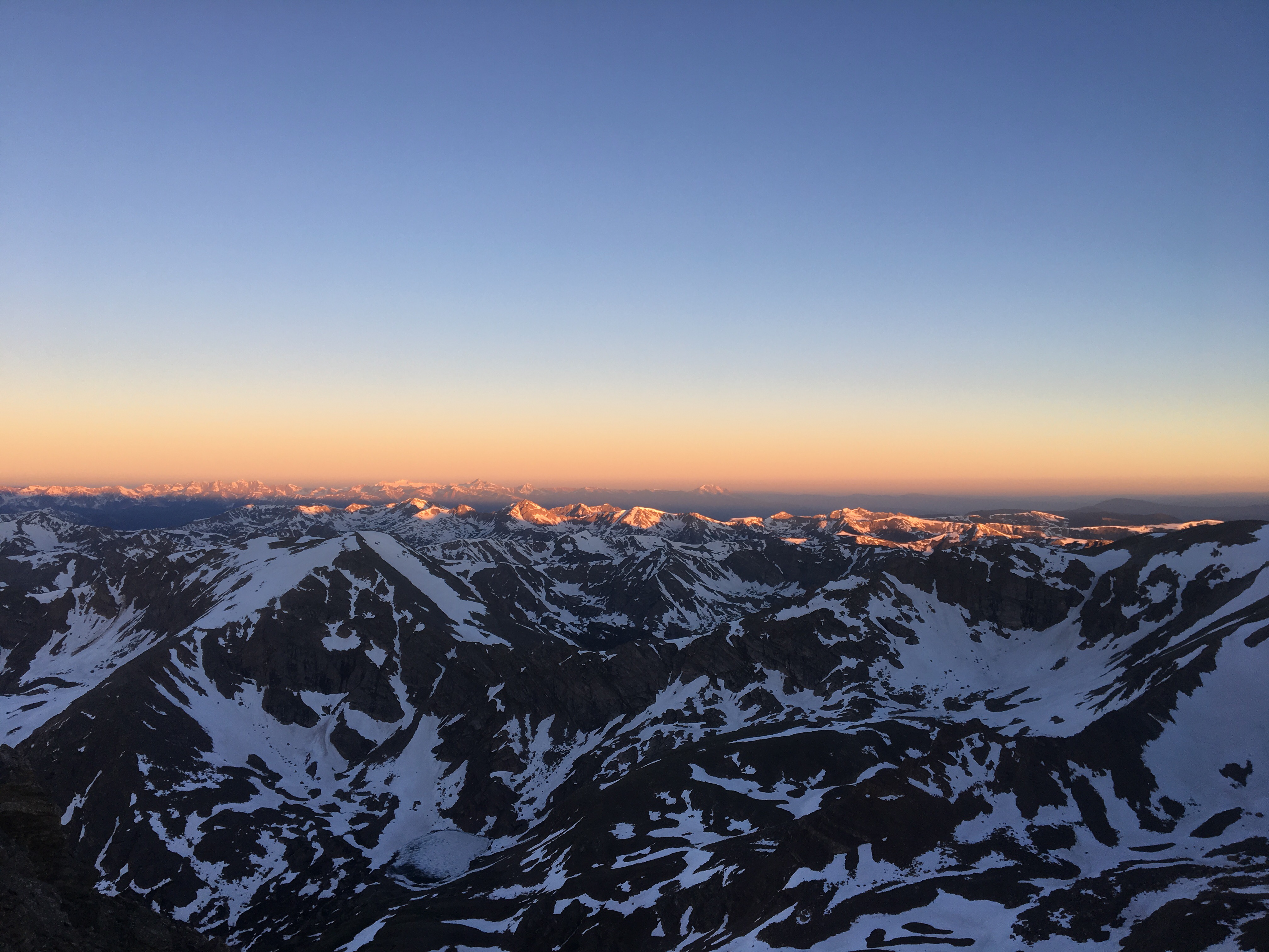
First thing this morning we started climbing up a pass to the right of which was the Rio Grande Pyramid, a 13,900 foot peak shaped like a Mayan Pyramid. There’s a long wall on the left shoulder of the mountain and in one spot a massive chunk of the wall is missing creating a big window. We went off trail and climbed up to that, it was awesome.
 Garbelly inside the Window
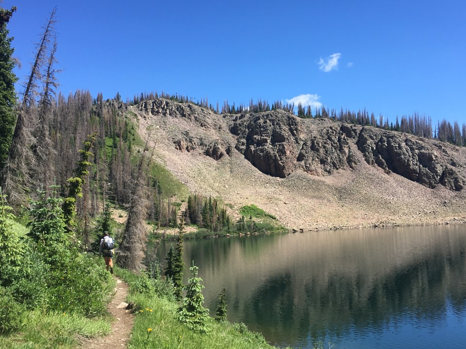
After getting back down to the trail we had 5 more passes to climb over 18 miles. It was a lot of climbing for a relatively short mileage day. And it was awesome, packed with some massive mountain views and lots of wildlife. QB and I saw what we really think was a golden eagle (unconfirmed golden eagle sighting), and I definitely saw a hummingbird right after that. We met multiple parties with pack llamas that had actually just met each other. Garbelly said it was a llama meetup group. Then at lunch we stopped at West Ute Lake and the place had cutthroat trout jumping out of it like crazy. We ate and swam at the lake and met a family with 4 kids and 4 dogs out in the mountains for 8 nights. That’s impressive.
From West Ute Lake we climbed up a steep pass that had another lake with a rocky island just a short ways down from the top. Garbelly and I raced down to swim out to the island before the girls got over the pass. Icy cold water never felt so good.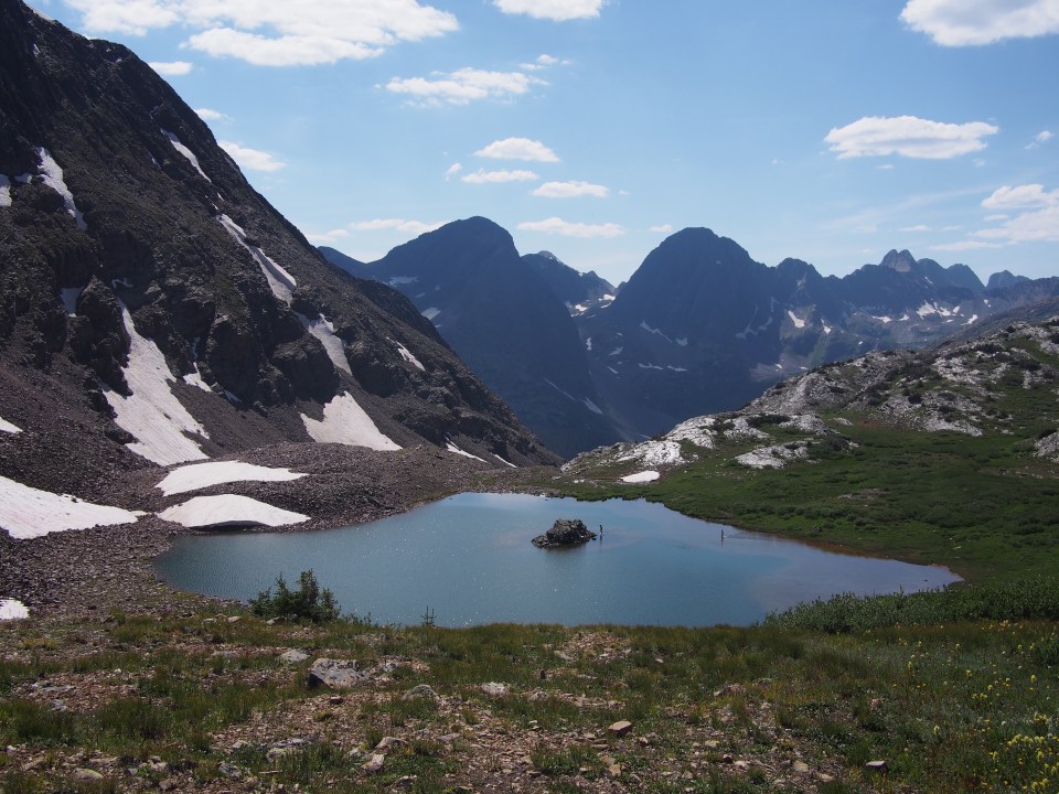
A little further down from the pass we came across the first moose of the trip about 20 feet from trail. An adolescent bull moose with velvet antlers was just chilling out eating bushes and barely paid us any mind at all. We descended a little further before turning and immediately started climbing again. This was Hunchback Pass, the last and beefiest pass of the day. We took our time getting up and over it then found some campsites near Beartown trailhead.
8/19/19…..CDT Mile 961.9…..23.6 miles
Immediately after breaking camp this morning, before we even made it from the campsite to the trail, we saw 3 bull moose eating breakfast. It was quite an impressive sight, to see these massive wild animals up close and personal. Minutes later I saw a couple elk up on a ridge, all before sunrise.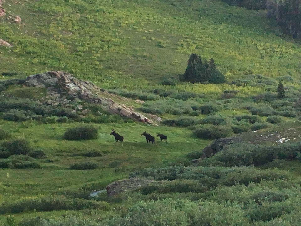
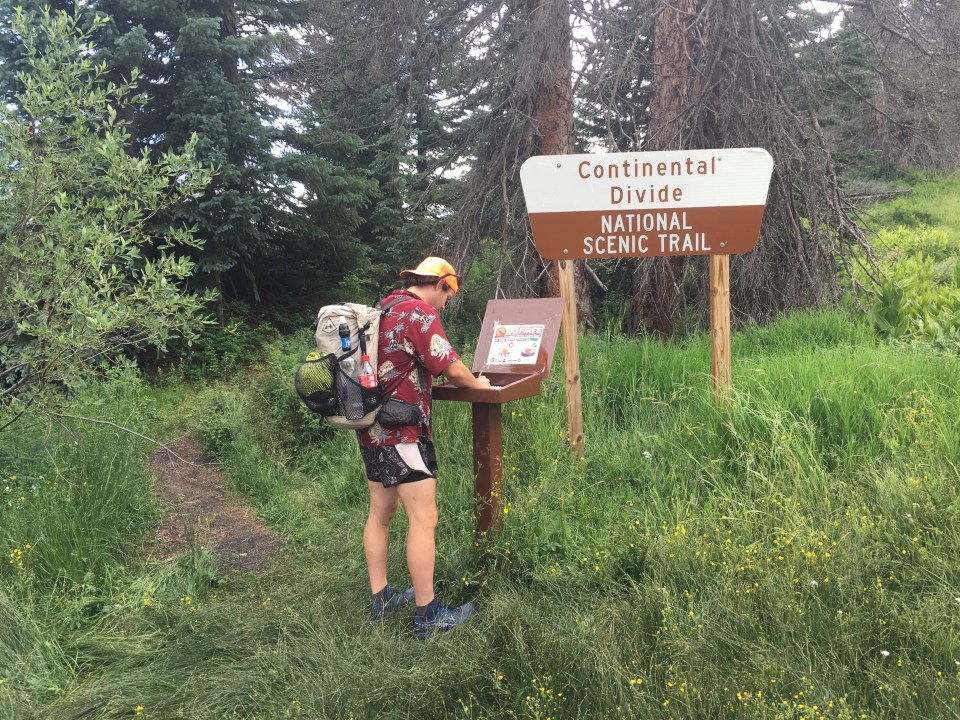
We climbed for about a mile and half and the CDT joined the Colorado Trail. The Colorado Trail(CT) stretches roughly 500 miles from Waterton Canyon near Denver to Durango, CO. The CT and the CDT coincide for about 300 miles. In 2016, QB and I, as well as a few other friends hiked the Colorado Trail. In the opposite direction though so everything seems new.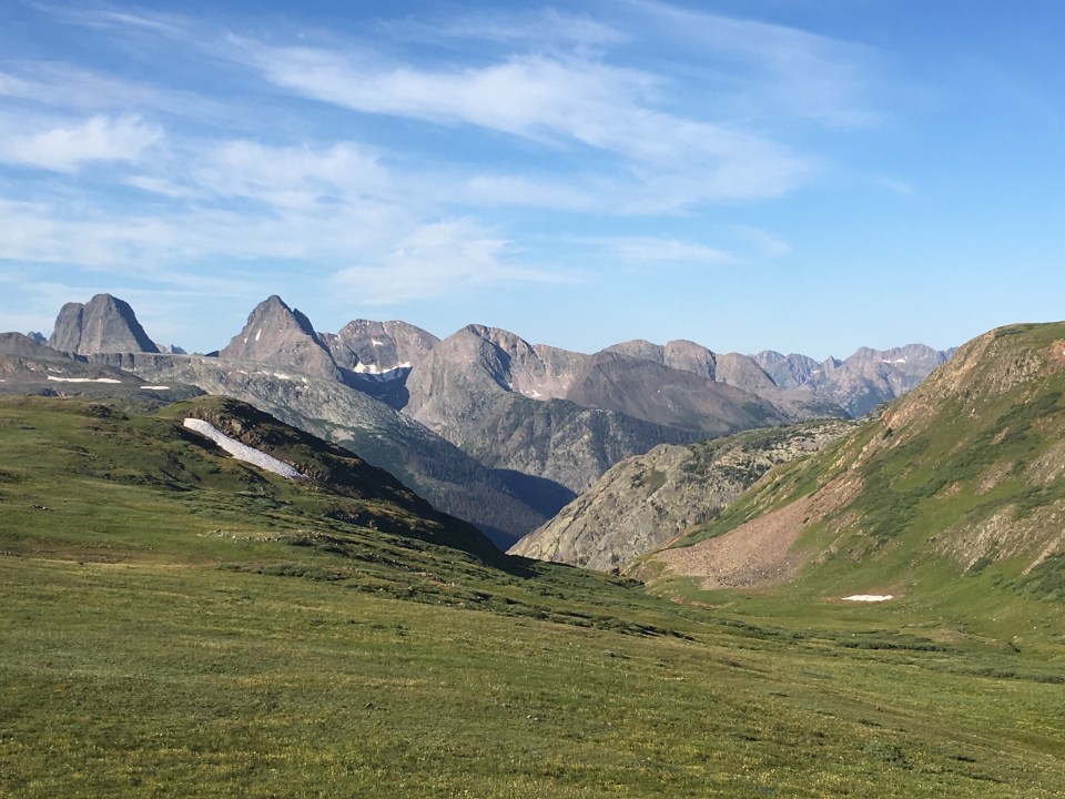
All day we were up high above tree line and over 12,000 feet. We saw about 15 southbound CT hikers as well as 7 bike packers as the CT is one of the few long distance trails that allows bikes. It was a good day for animals too. Besides the moose and elk we saw this morning, I saw a weasel(a week ago I saw one of these and mistakenly referred to it as a pine marten), a peregrine falcon, 2 more bull moose and 2 coyotes separately, plus a herd of hundreds of domestic sheep in the distance.
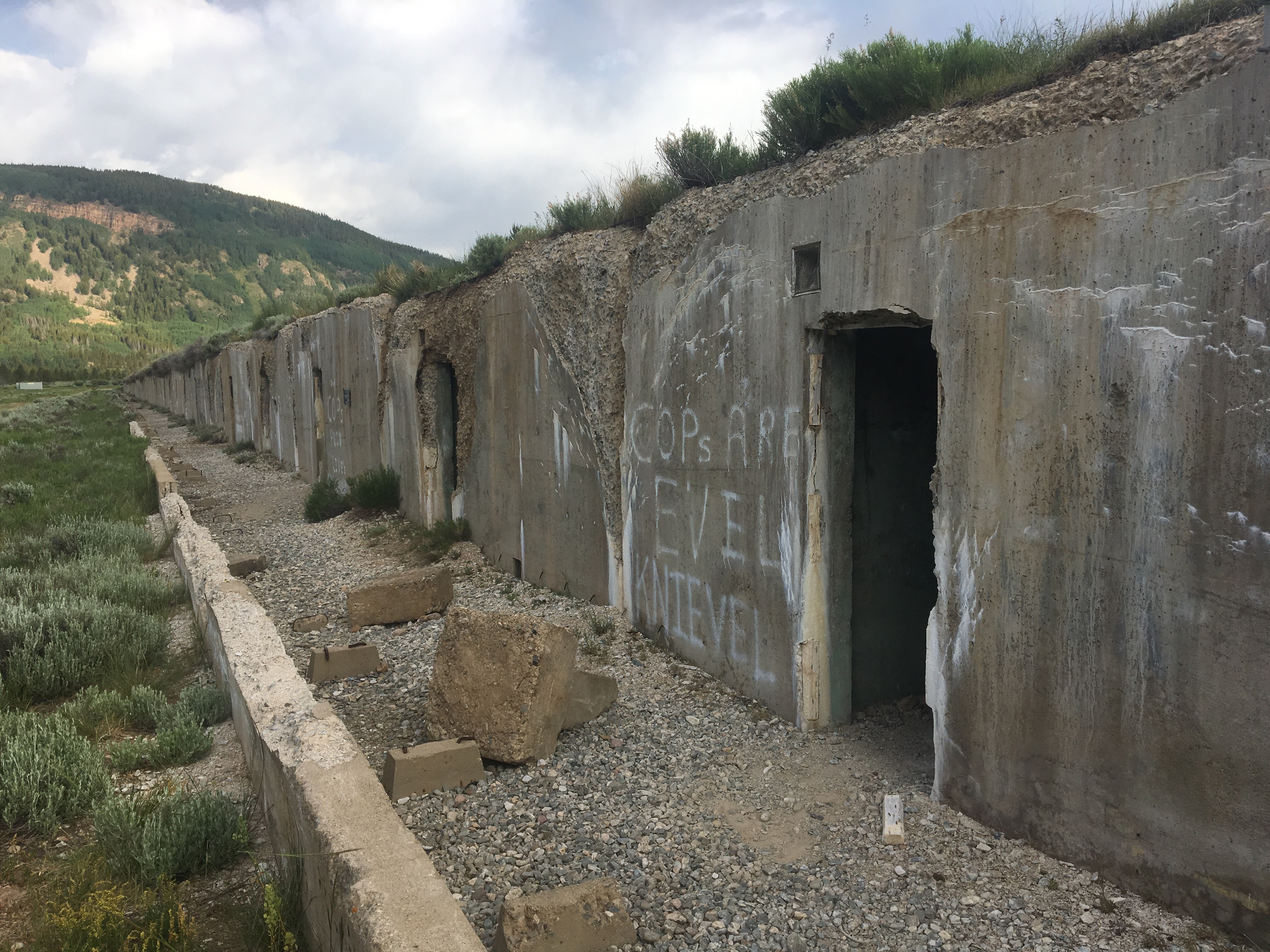
We’re camped up high at 12,300 feet at Carson trailhead. Most likely it will be a cold night and since this is the sight of an old mining camp, with remains and everything, it is undoubtedly haunted.
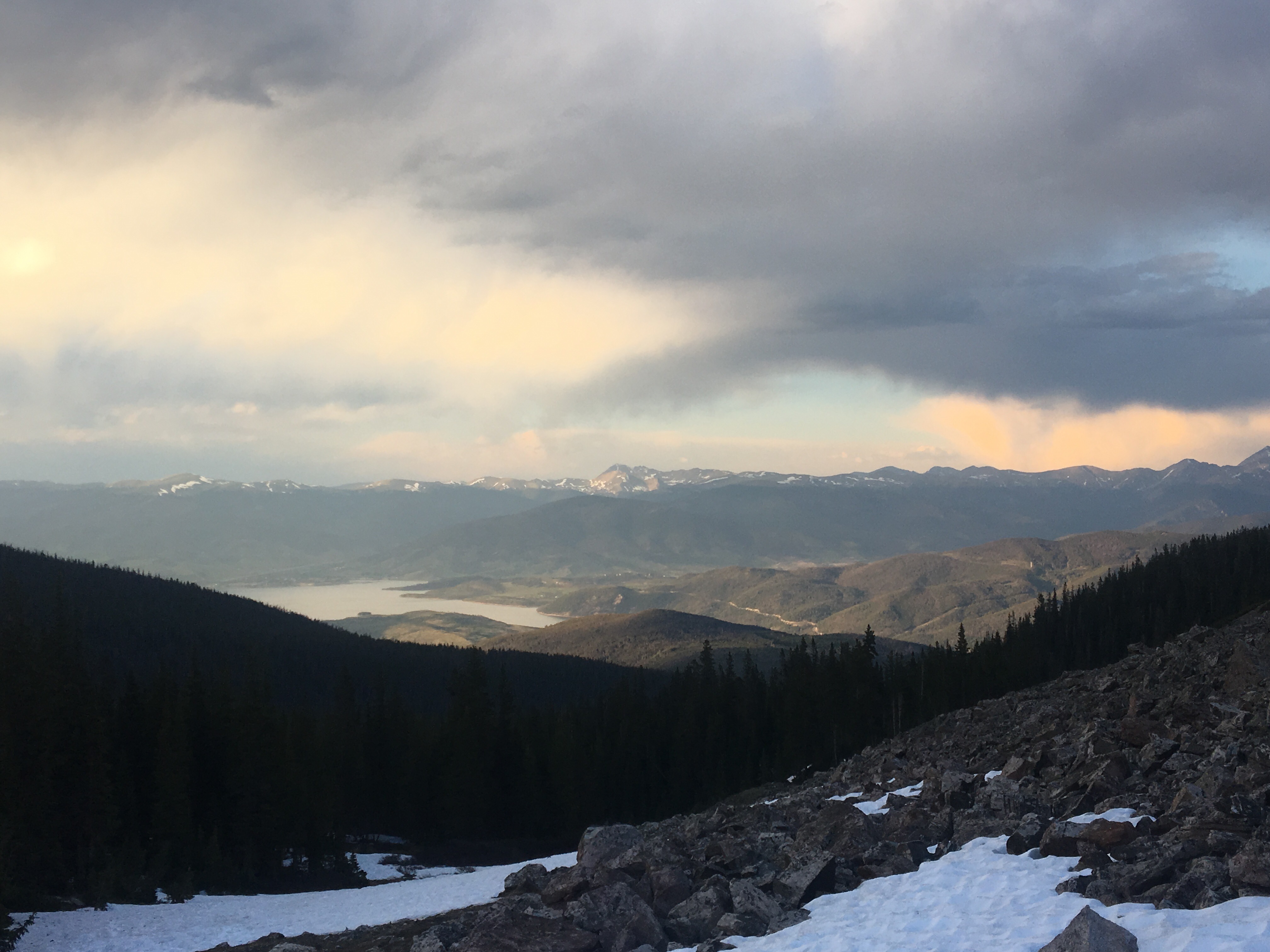
8/20…..CDT Mile 978.9…..17 miles
Town Day! We cruised all day, barely stopping because for the first time in almost a week we’d have a chance for some burgers, sodas, and a little civilization. The sooner the better.
The trail was mostly up above treeline all morning and we passed the Colorado Trail High Point at 13,271 feet. We saw half a dozen CT hikers traveling south including my friend Lexy who I hiked some of Virginia with on the AT in ‘16. When we got to the road we all had every intention of hitching but a CT hiker, Quincy, had called for a shuttle and when split 5 ways it was pretty cheap. Worth it not to wait around for a car.
In Lake City we picked up packages ate burgers and sodas then came up with a new plan. Originally we thought we’d be getting back on the CDT and traveling north another hundred miles but decided against it. Garbelly and Critter had already done that section and QB and I had hiked it twice in the last 3 years. It’s ok and everything but as far as Colorado goes it’s not the most exciting section of trail between Lake City and Salida. Instead we’re going to the Grand Tetons in Wyoming. We’ll be meeting a friend in Jackson Hole on the 25th anyway to start the Wind River High Route so why not go a few days early and check out the Tetons. To do this we need to get to Gunnison, CO, spend the night, rent a car in the morning and drive all day.
After lunch we split up to make the hitching easier. QB and I got 2 rides; first from Caleb up 149 to Blue Mesa and another from Hunter the rest of the way on Rt 50 into Gunnison. Our friends arrived shortly afterwards and then we found out that it was college move in week for Western Colorado University and there was barely any vacancy in town.
Finally Critter found us a room at the Island Acres Motel on the edge of Gunnison with a kitchenette and everything. We walked to the market, got some groceries to cook for dinner, then walked the mile or so to our room and took some long overdue showers.
To see more pictures follow us on insta: @endlesspsummer, @sarahikes and our friends insta @ourtrailingthought


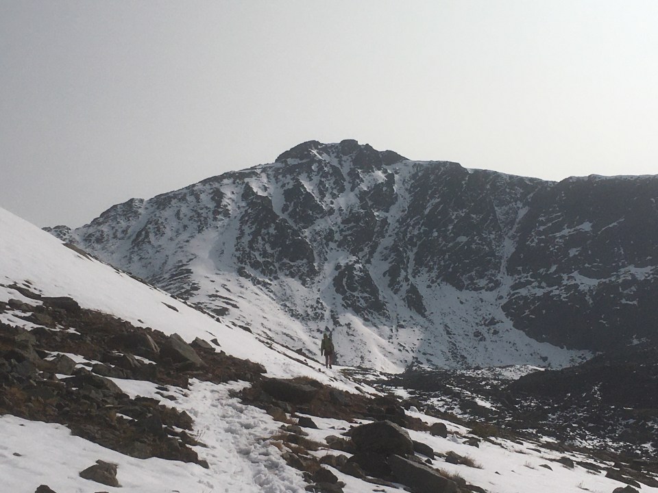


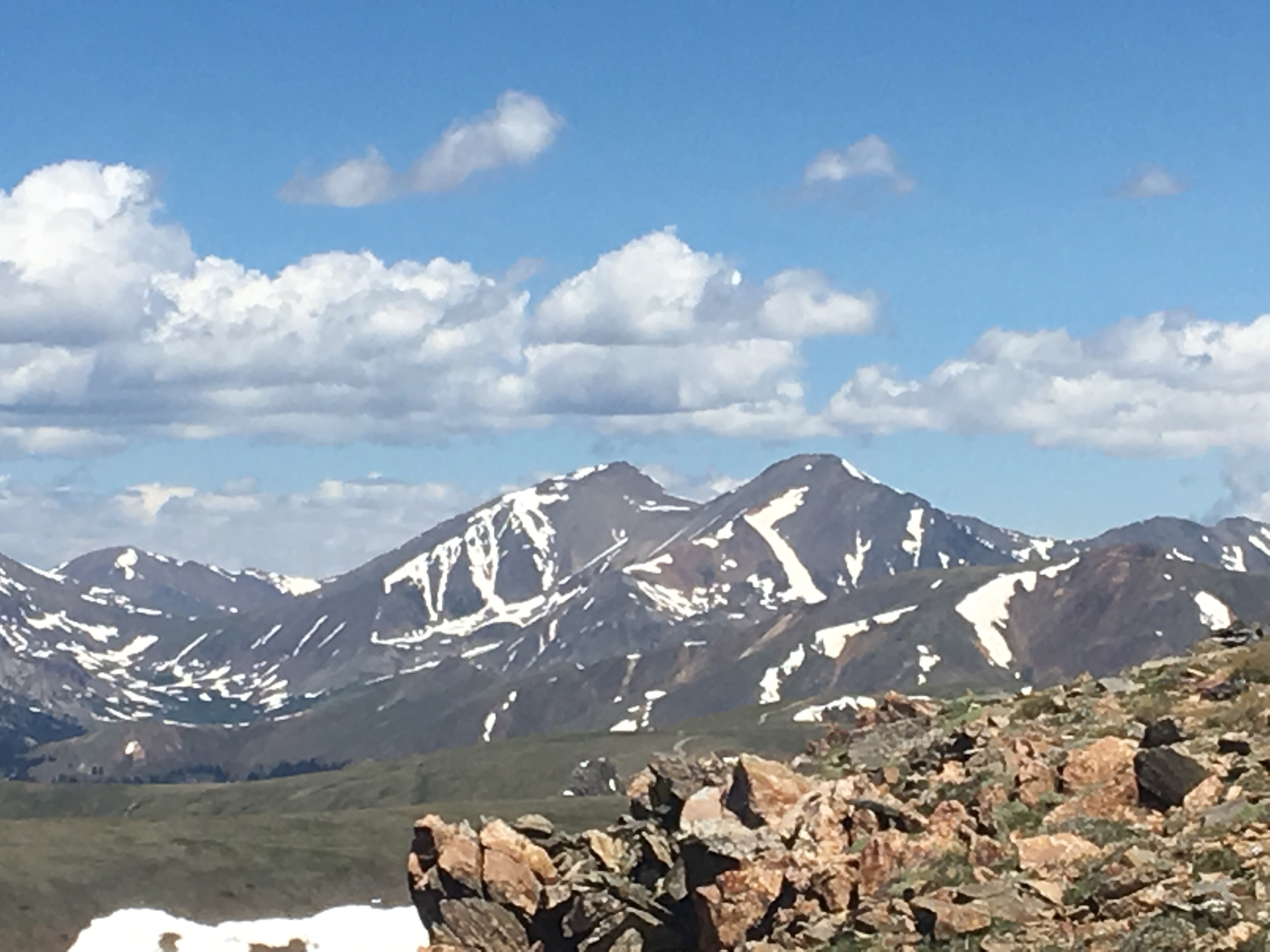
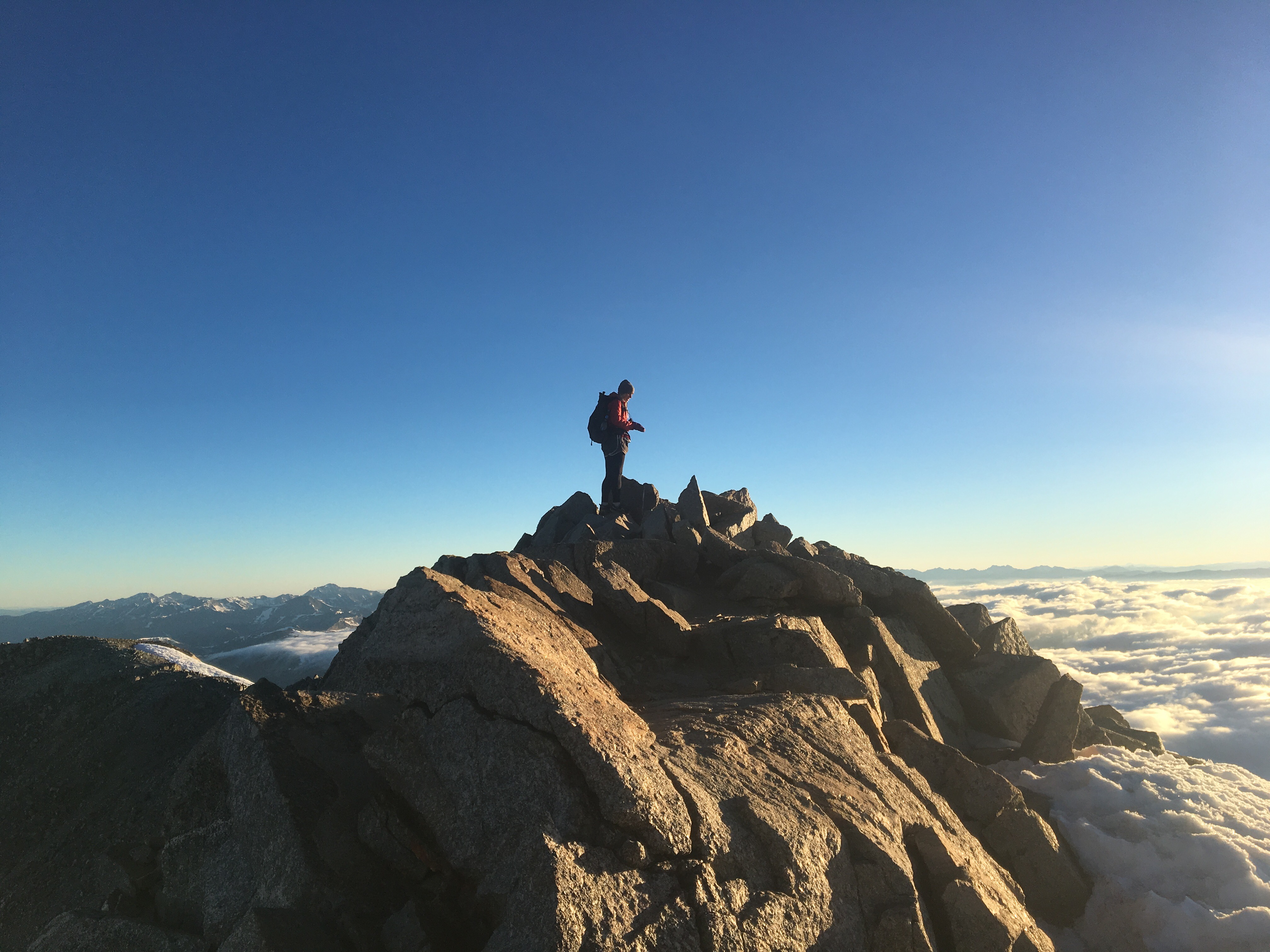
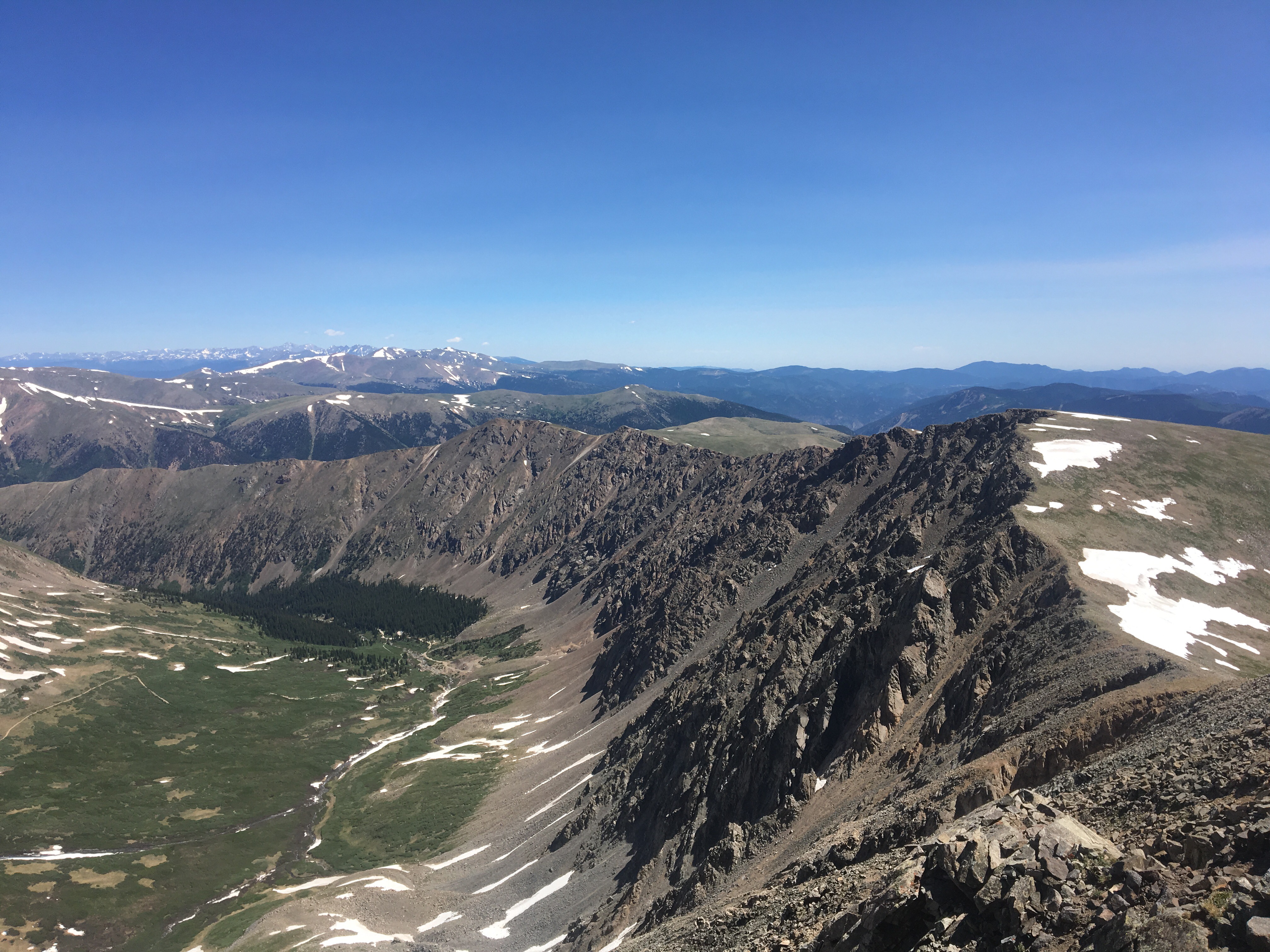
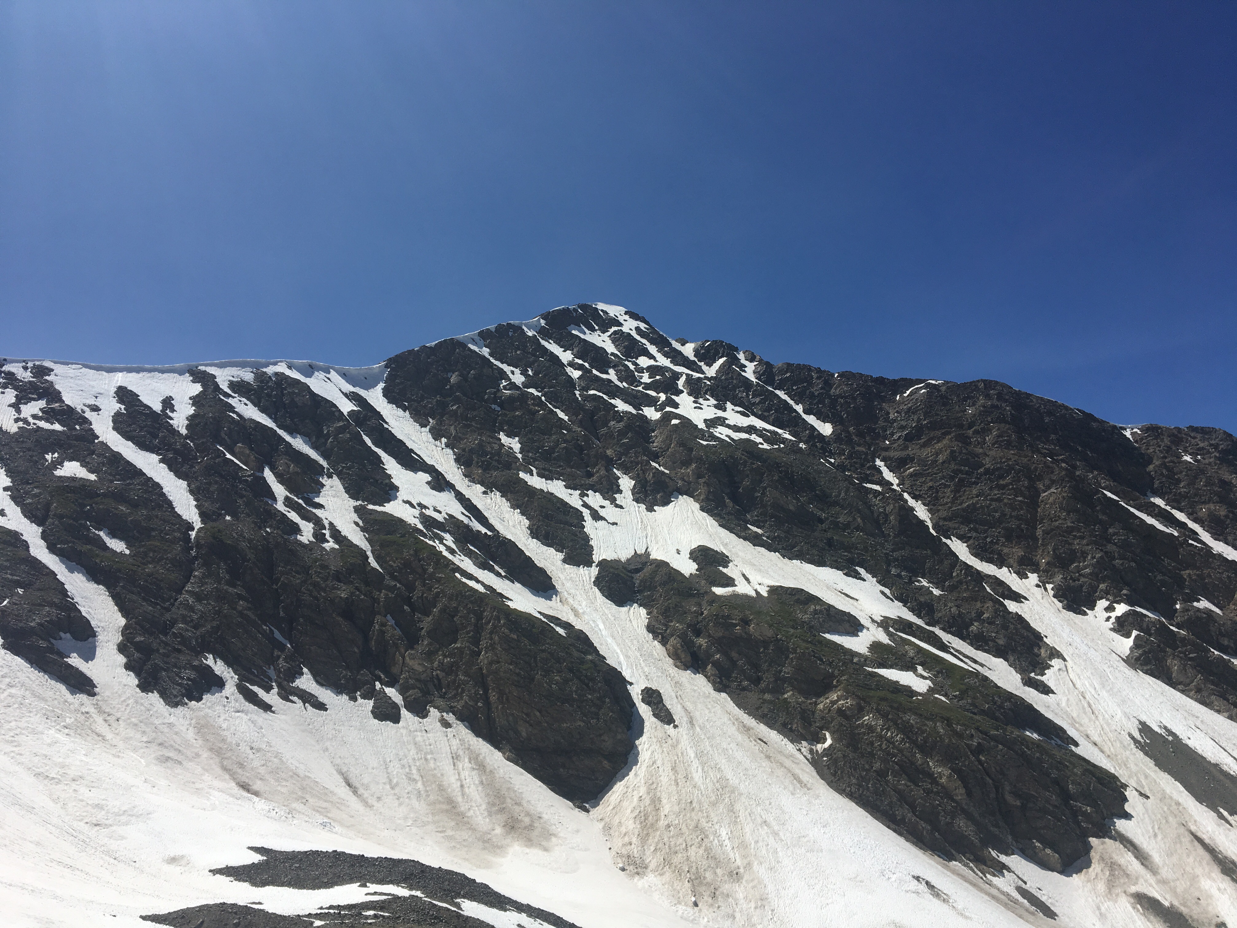
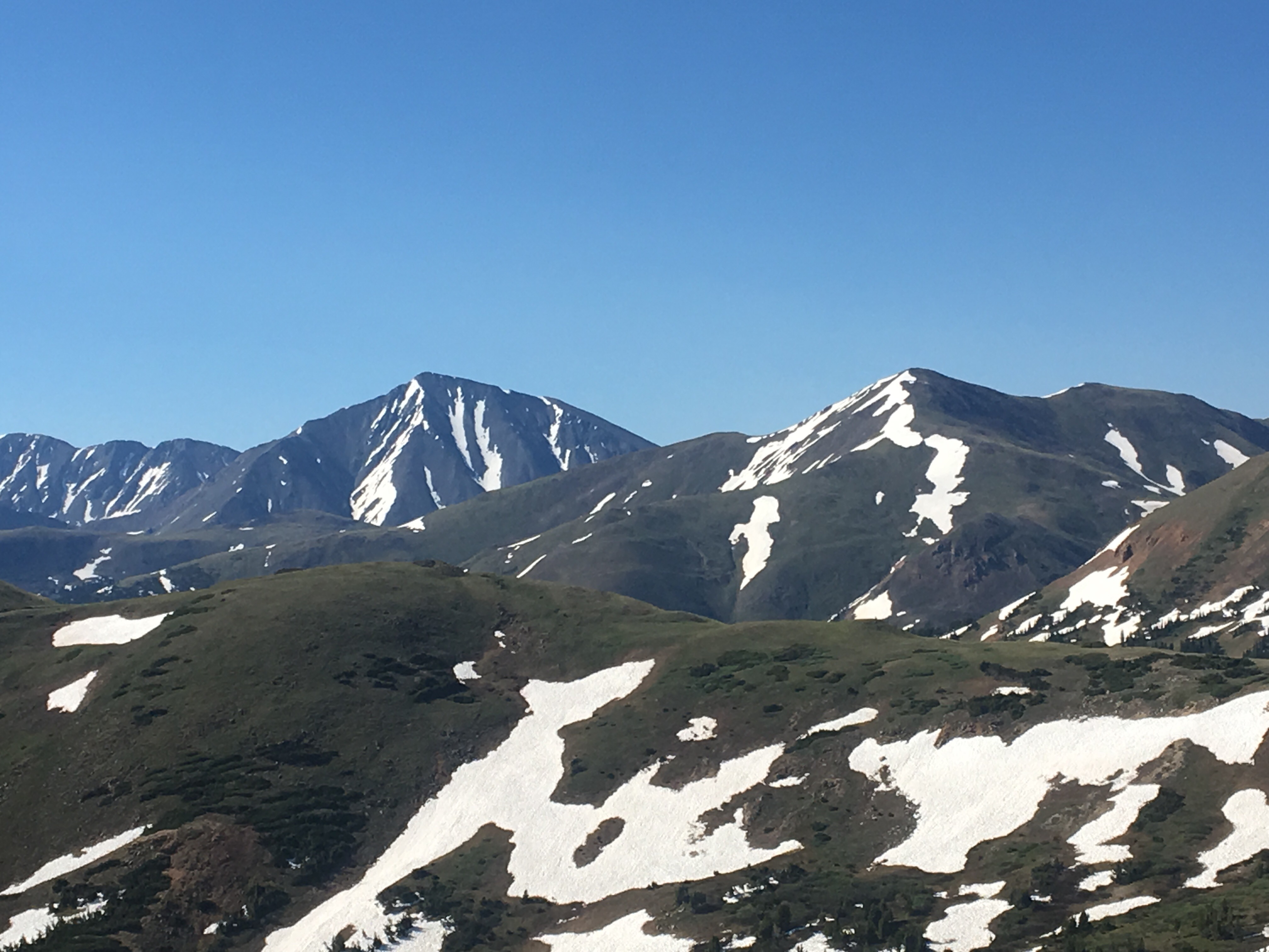
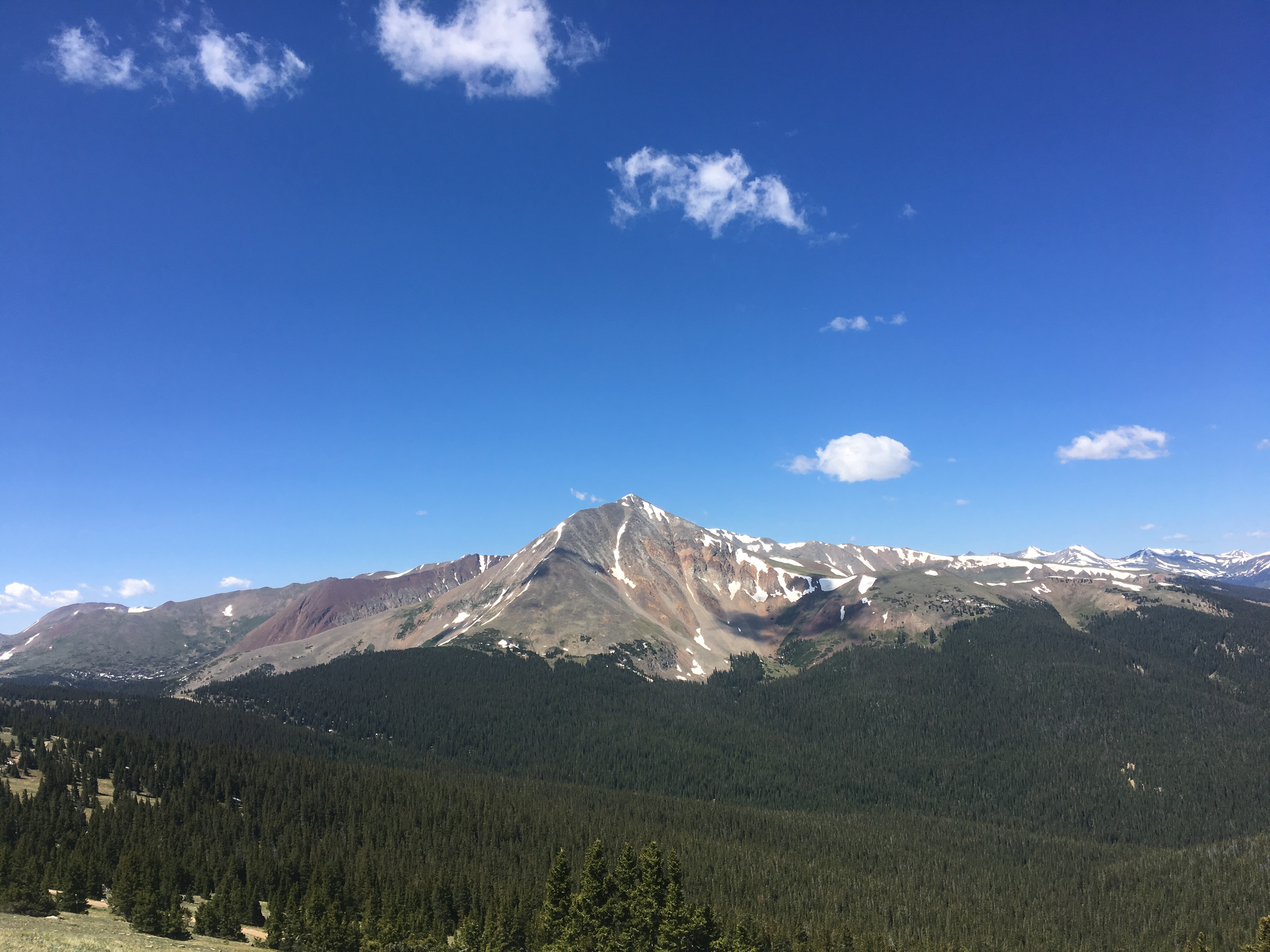 the beefy Mt Guyot
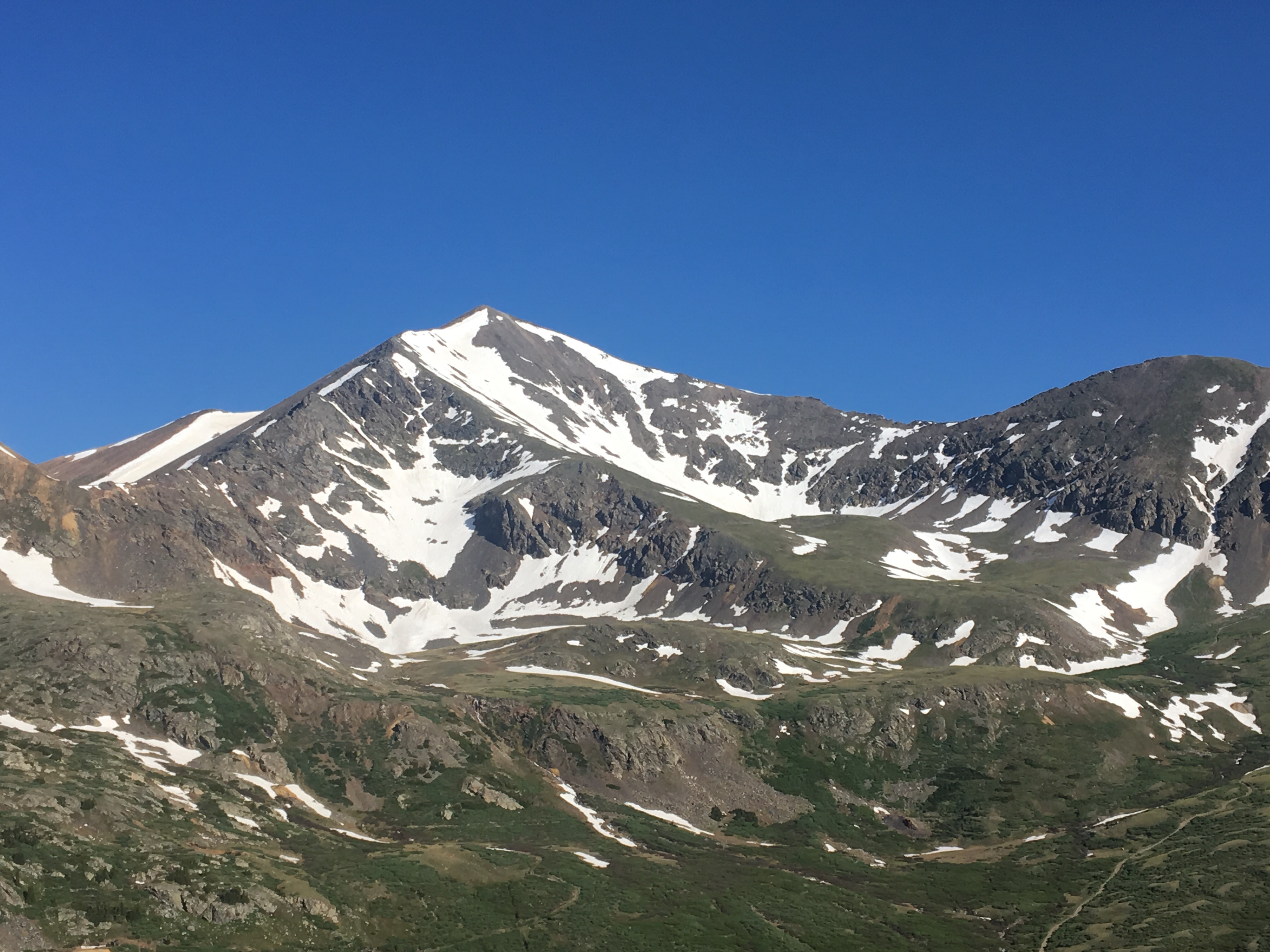

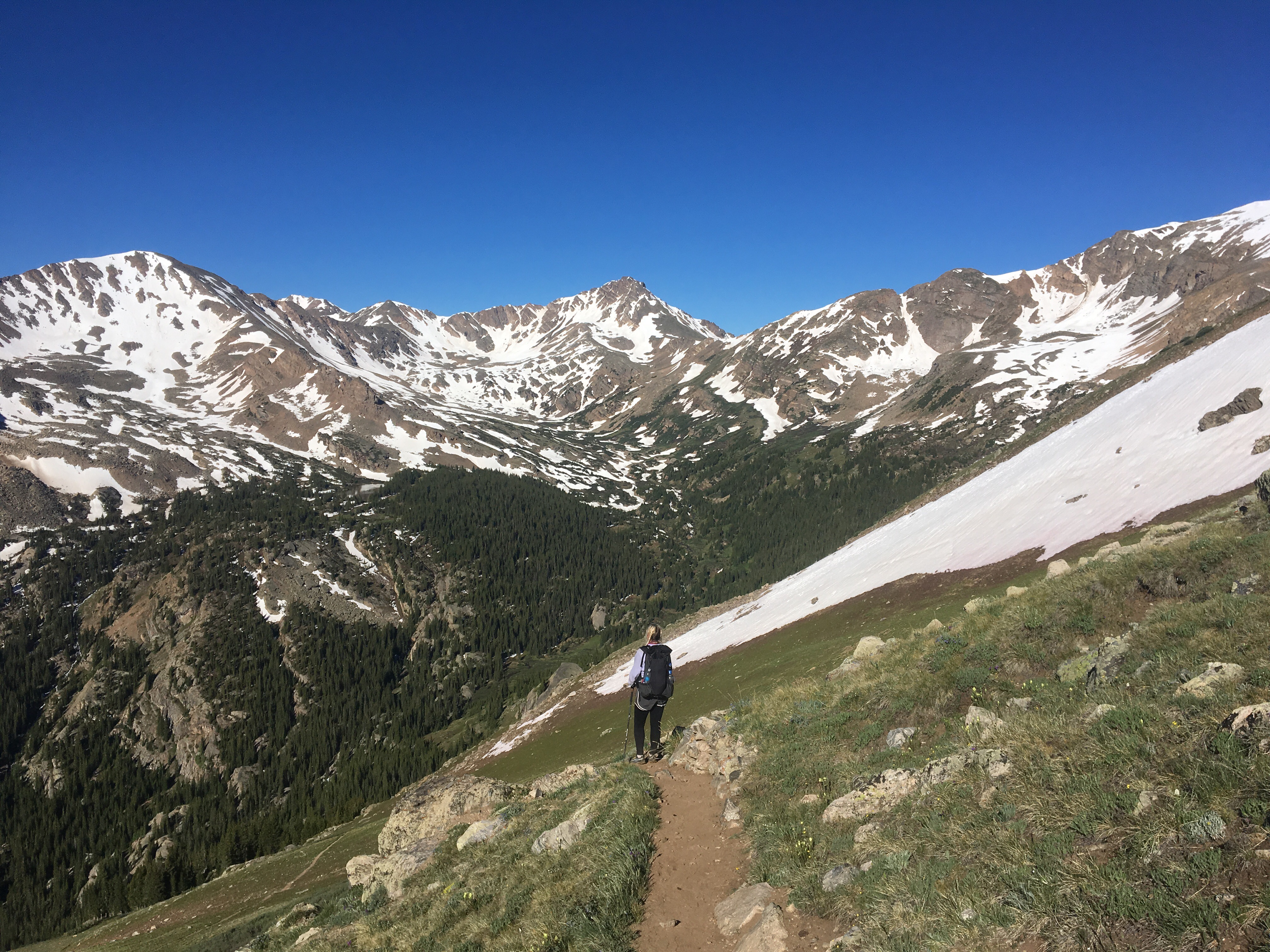
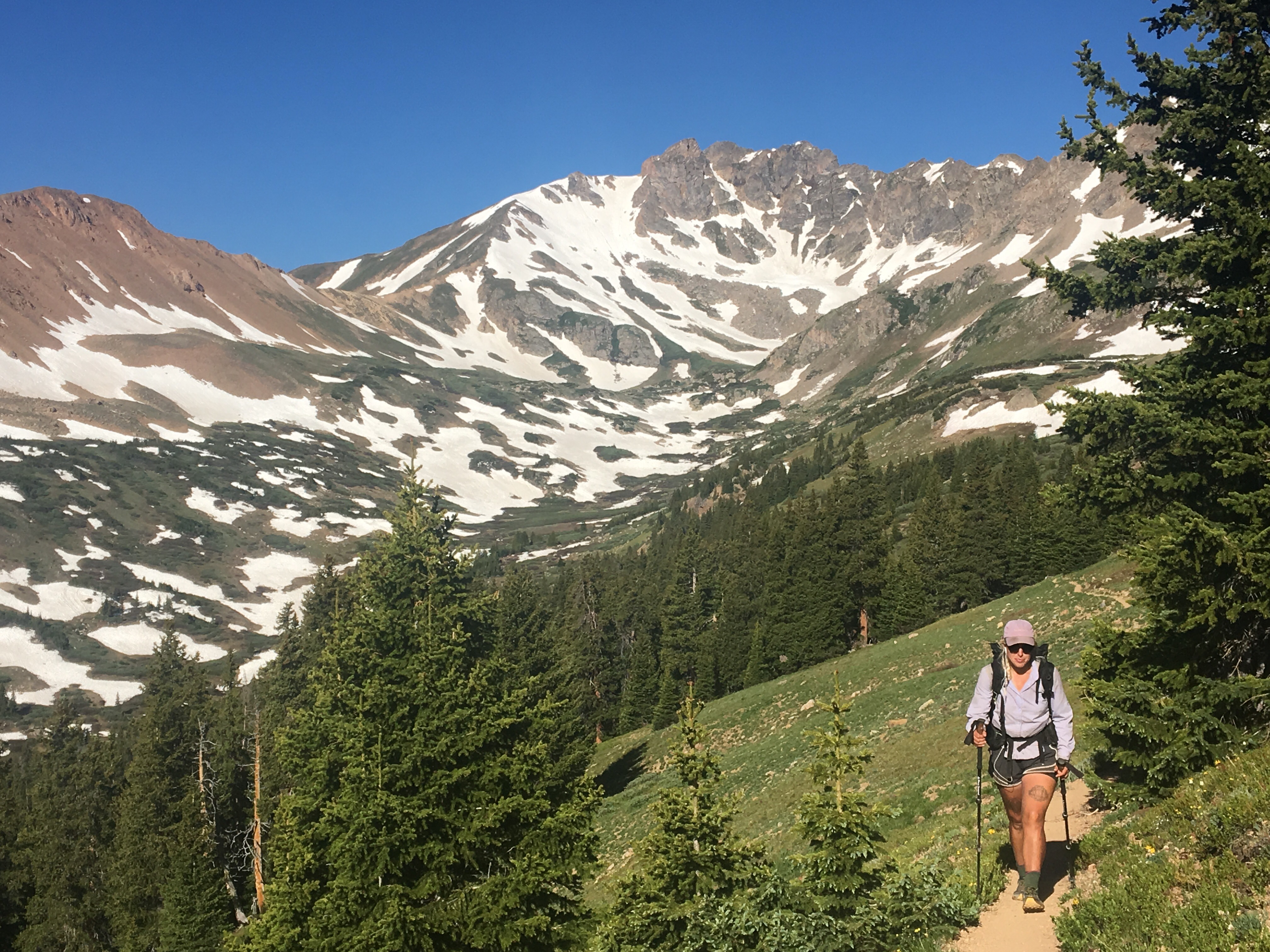
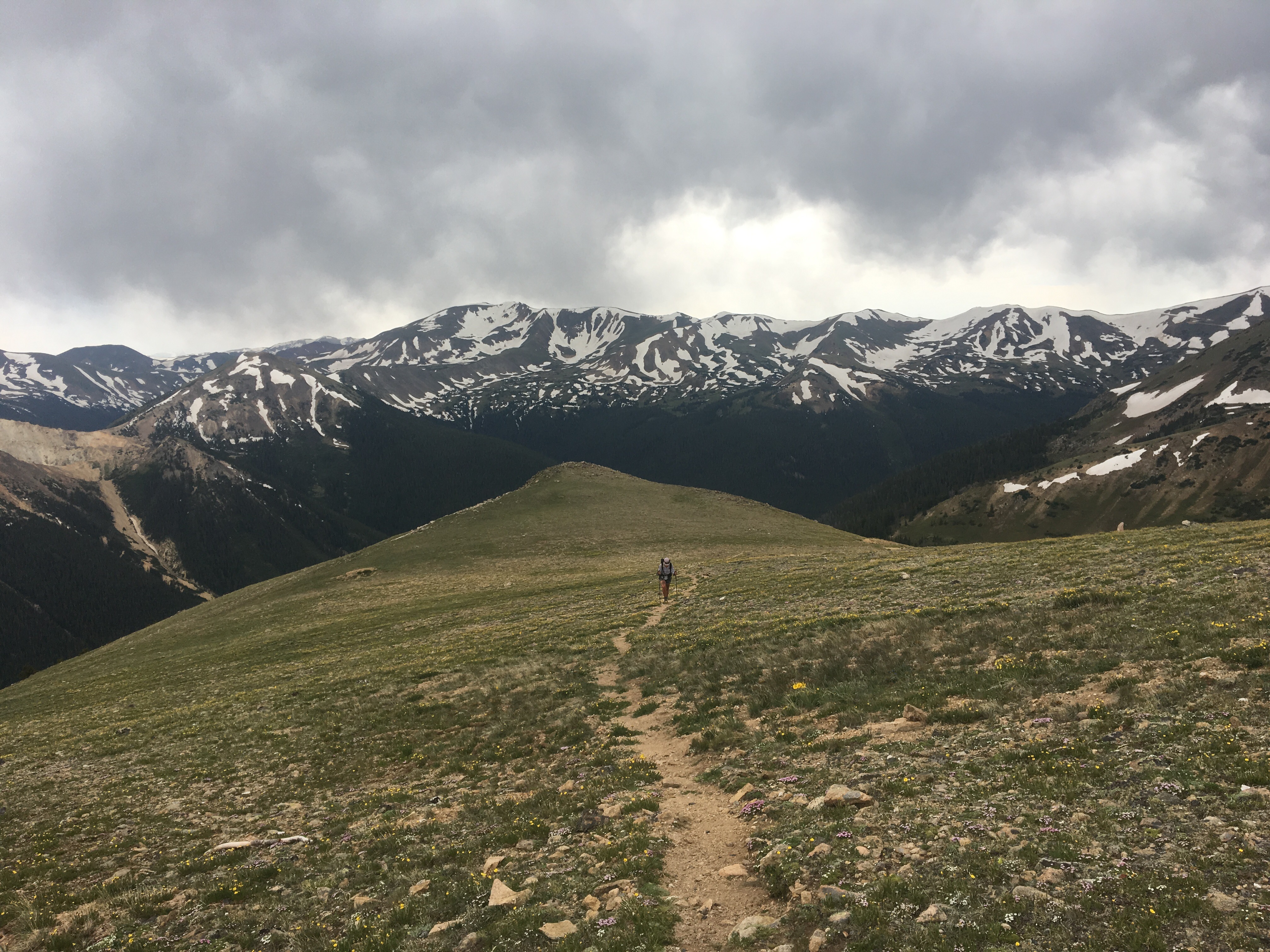
 QB walking up to the Spine
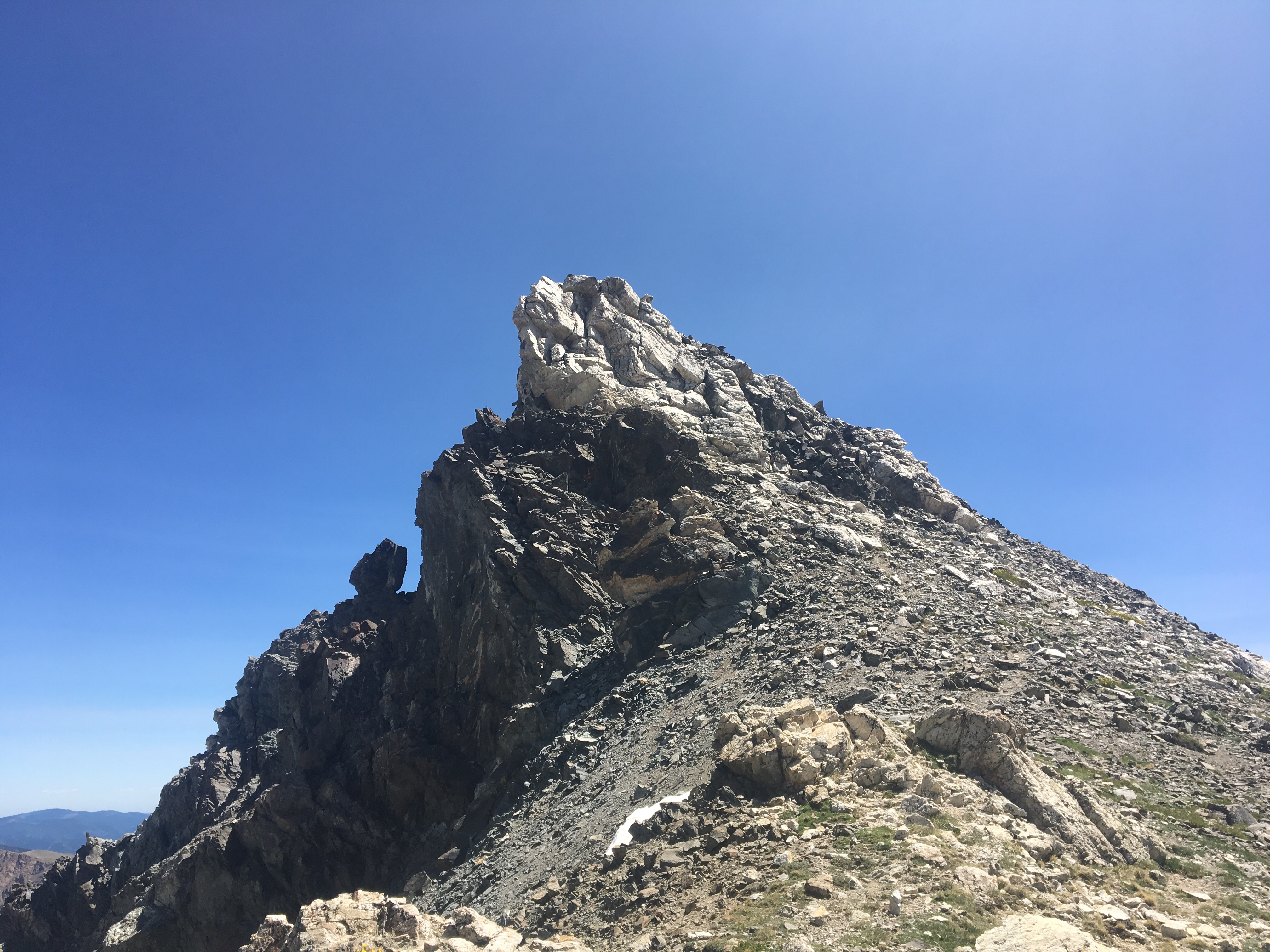

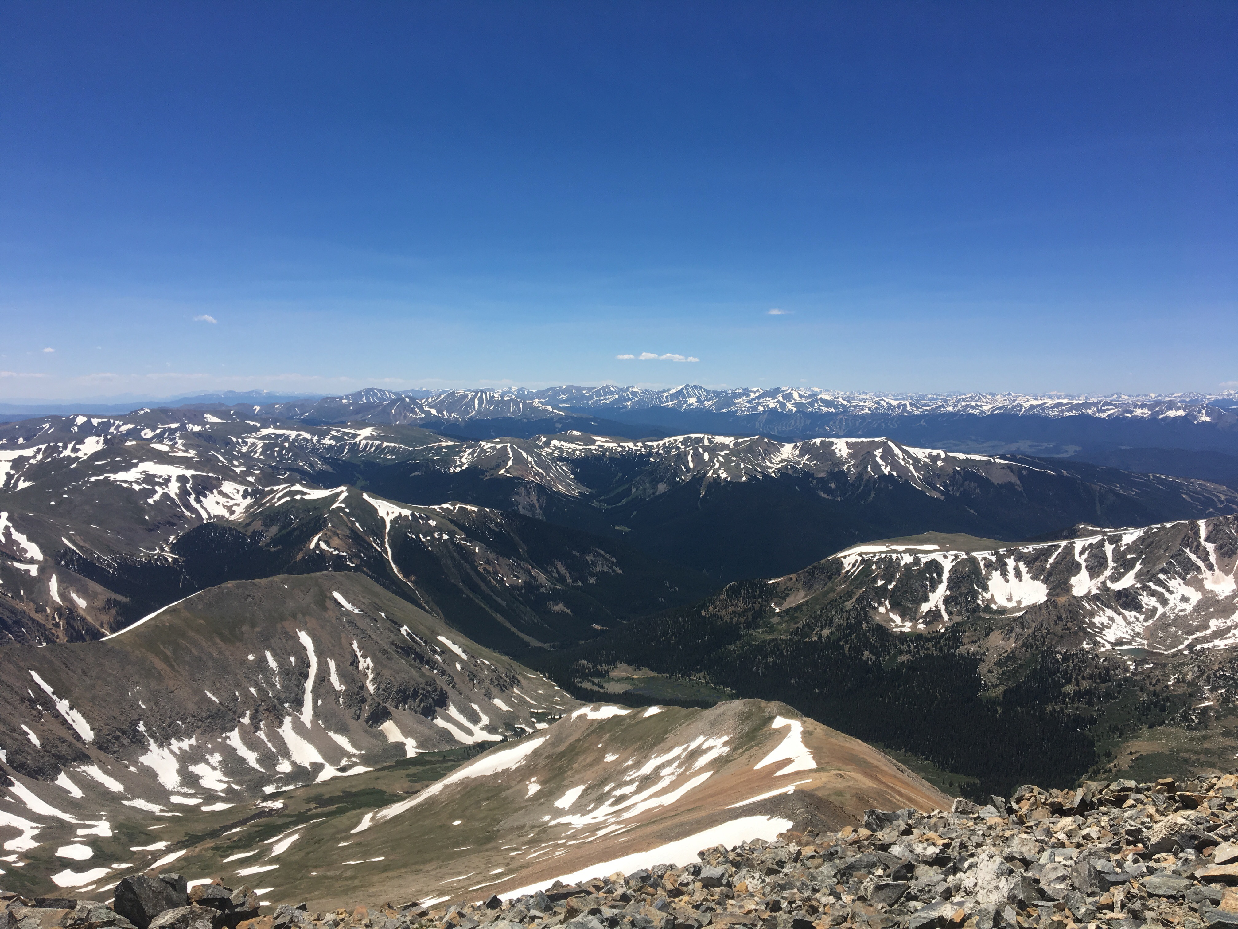
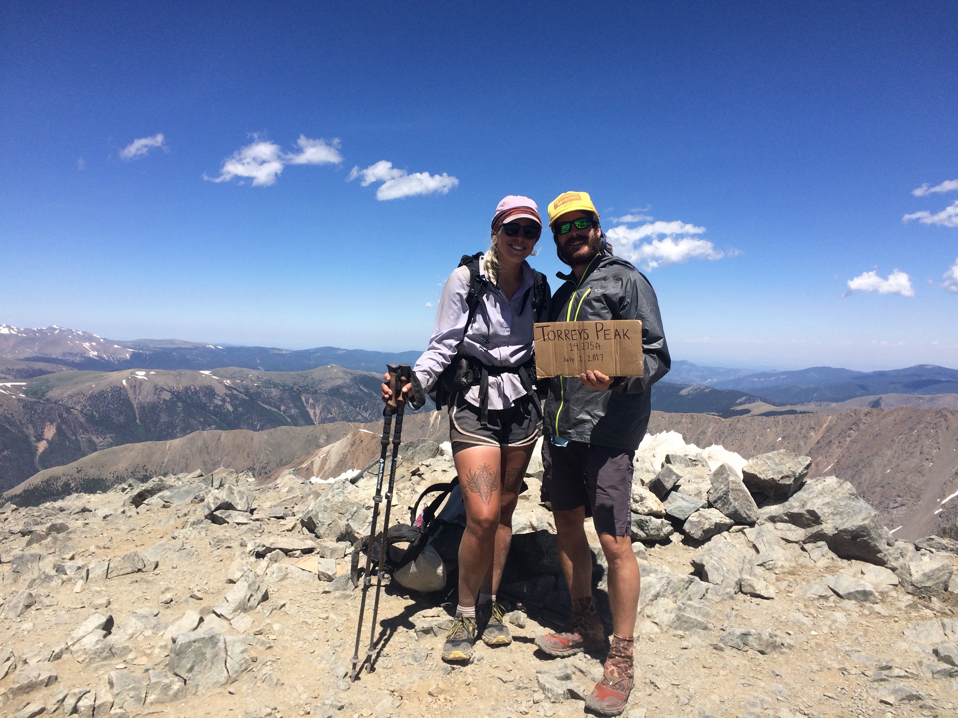
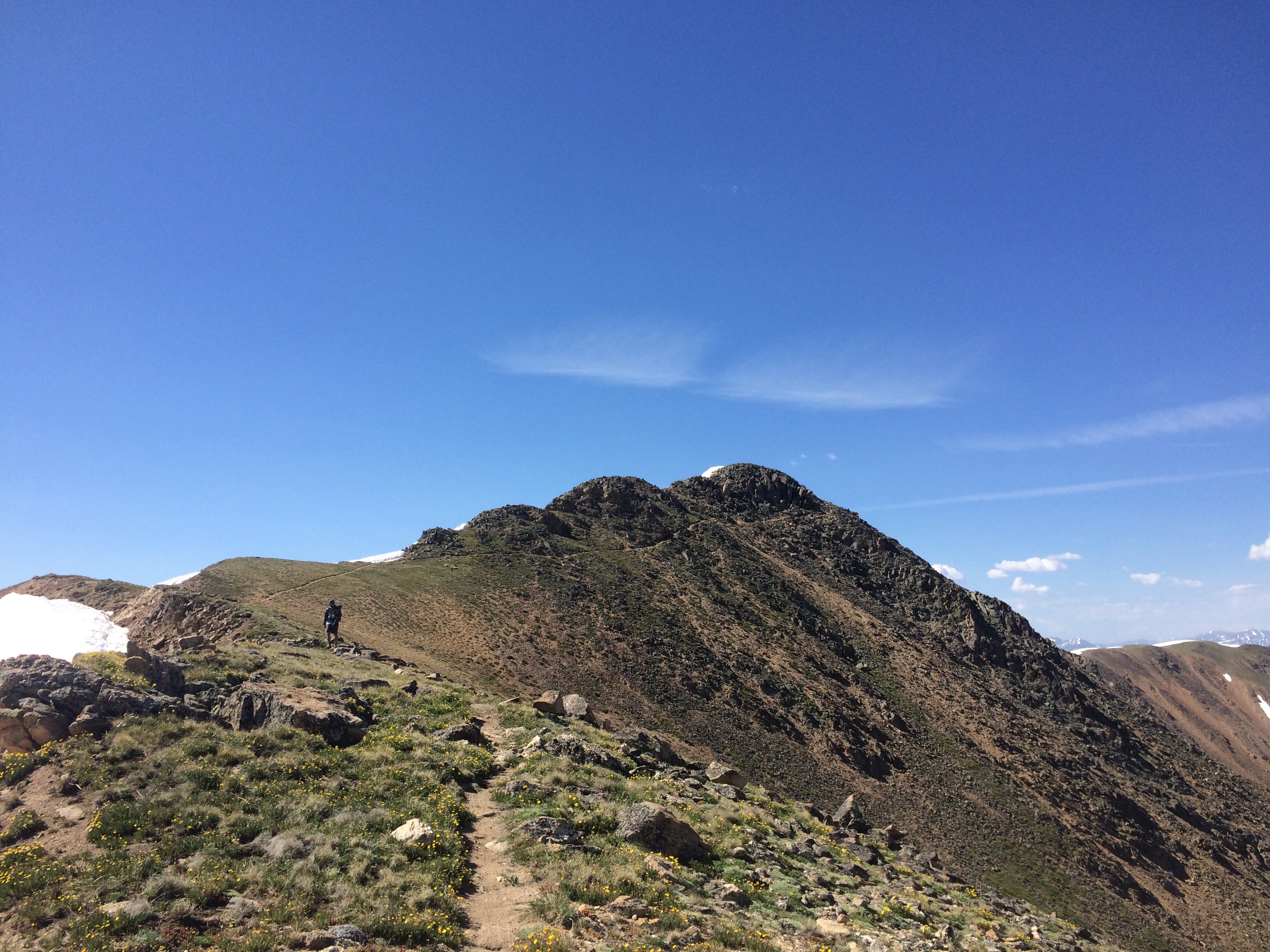
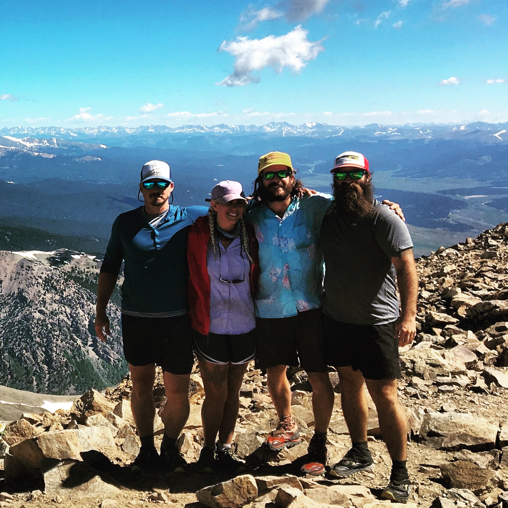


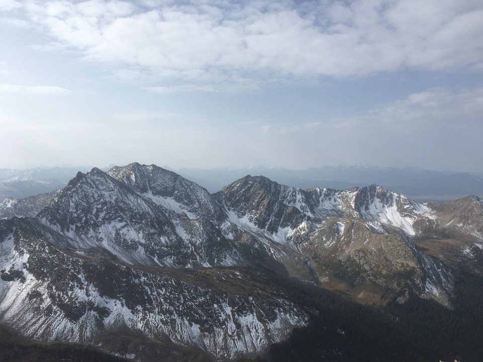
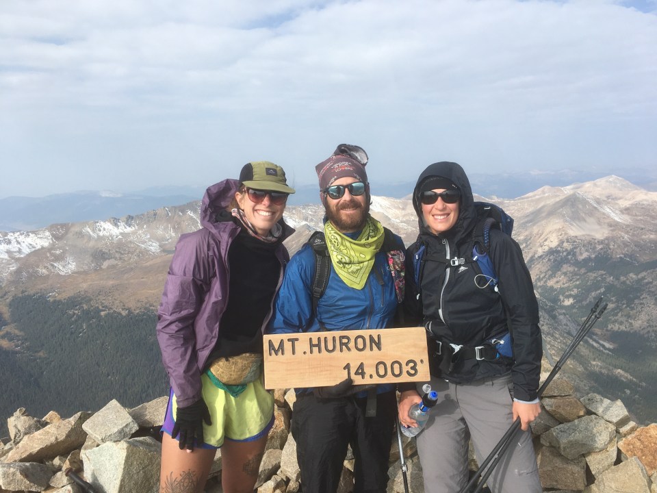
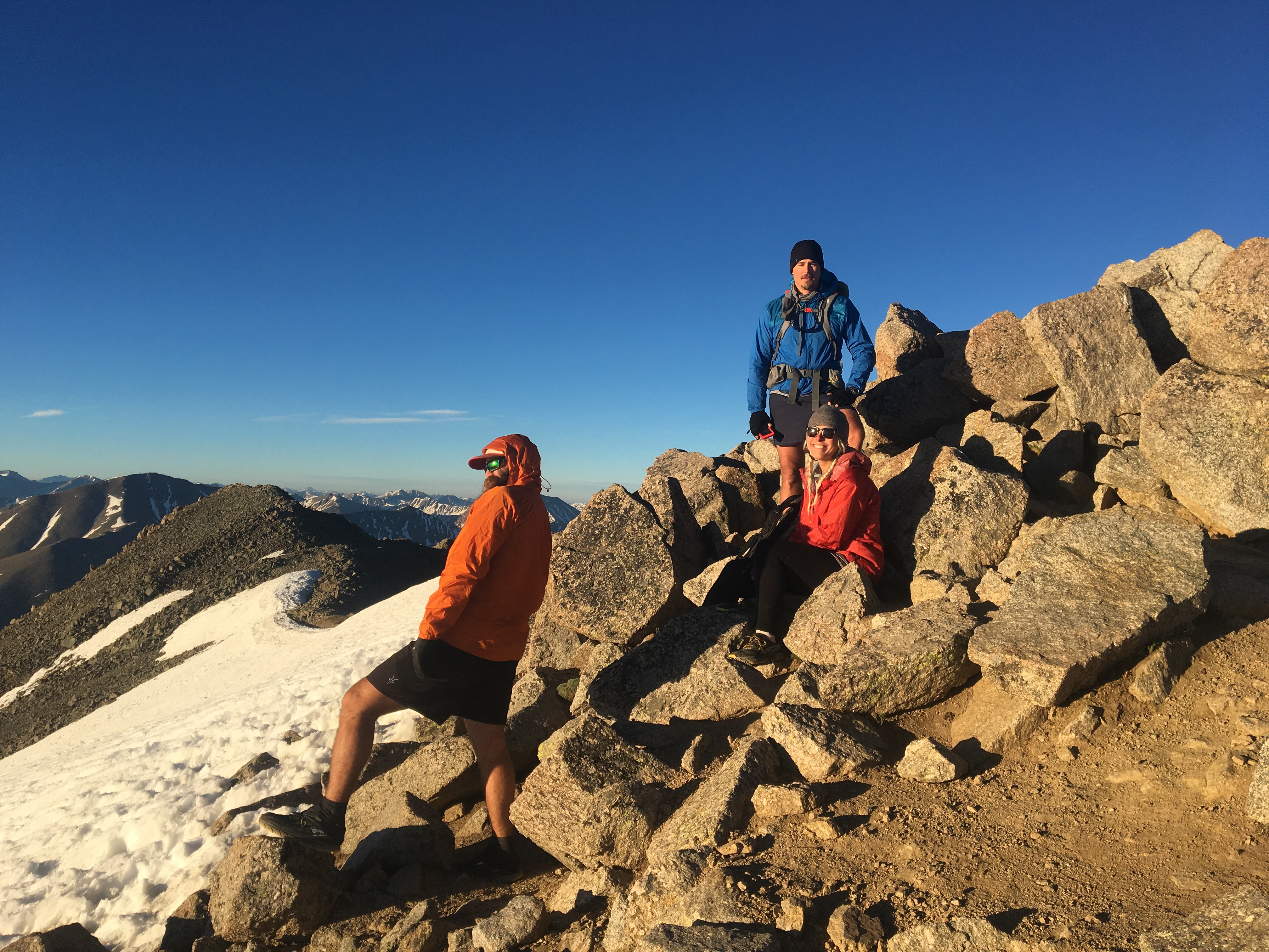 Pretty solid crew to climb up Colorado’s 2 tallest peaks with