
Day 1…6/13/25…22.5 miles…8100 ft gain…Montreaux to La Lécherette
I don’t know much about Switzerland. Besides the fact that they’re historically neutral, their cheese has holes, and their army uses a versatile knife. I guess I do know a fair bit. I’ve also heard the Alps are cool, so I figured we’d try to walk across the country following the via Alpina.
Yesterday we flew from Ajaccio, Corsica to Geneva Switzerland. We ran a few errands then took public transit out towards Montreaux and found a campground right next to Lake Geneva. This morning we had to take a bus about ten minutes and started our hike.
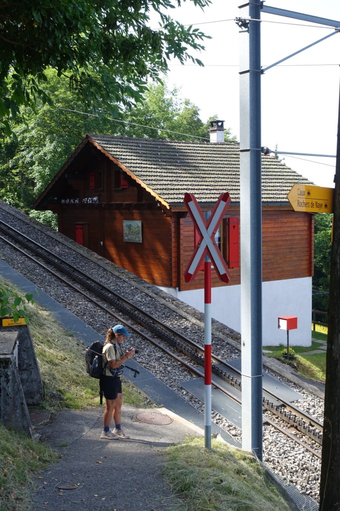
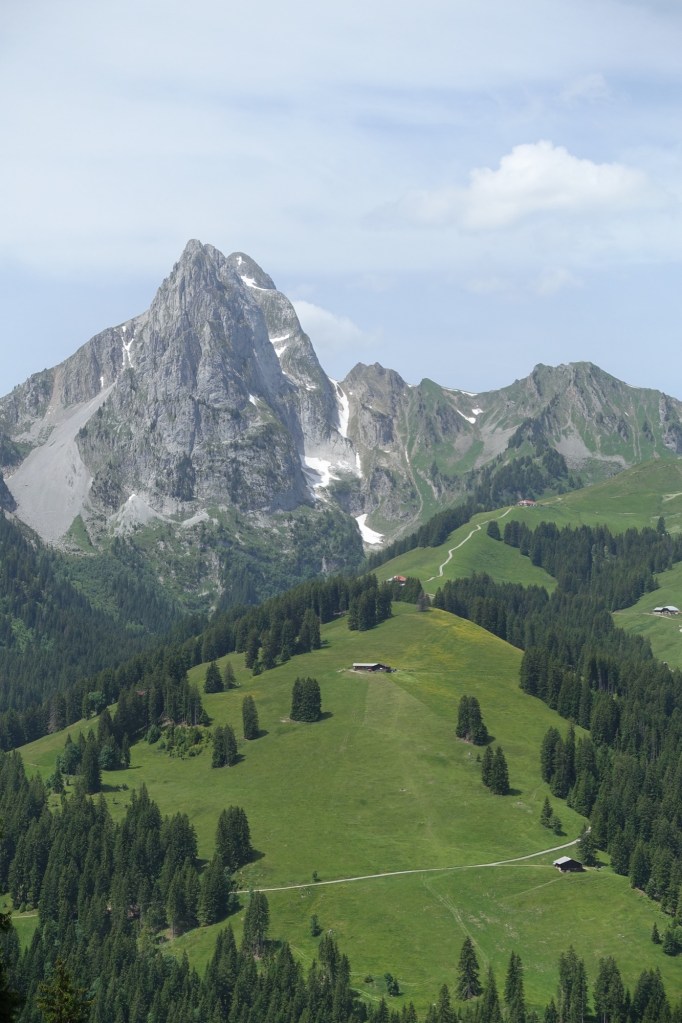
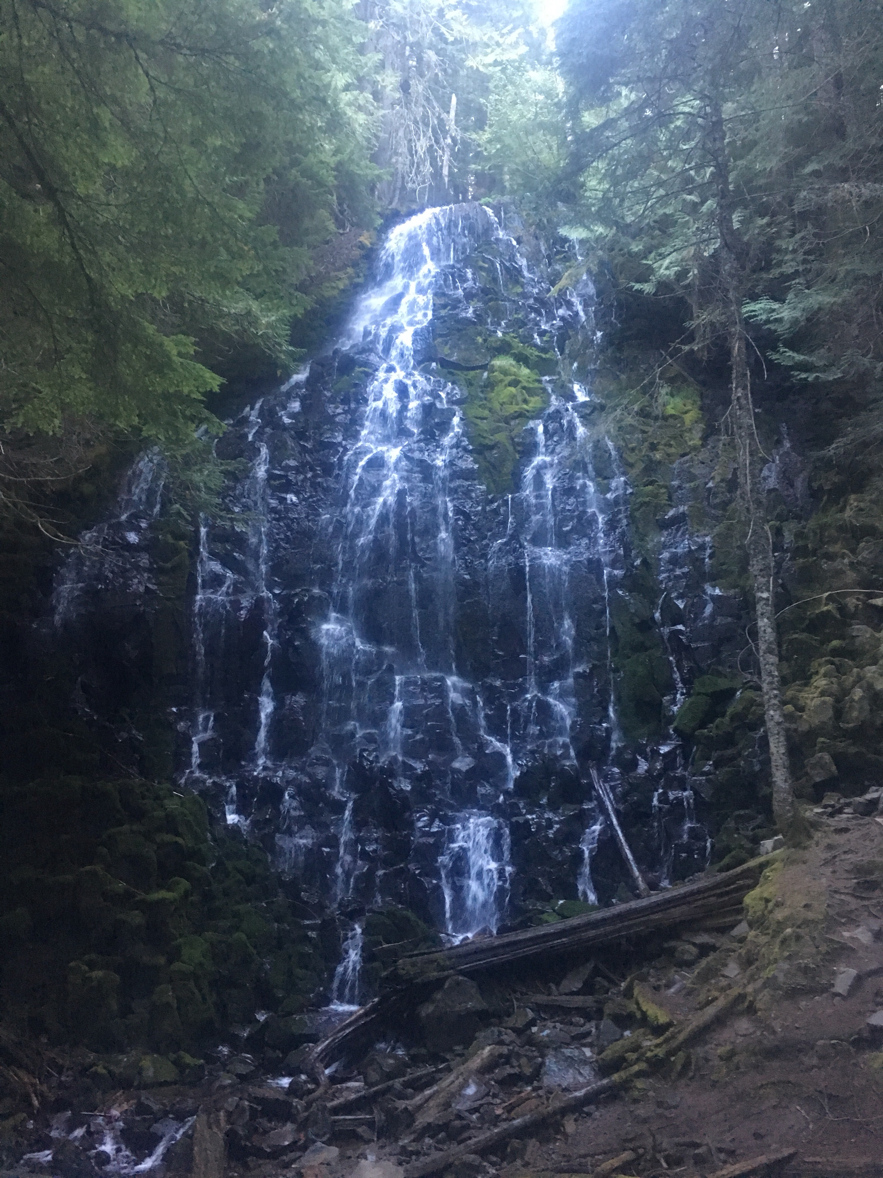
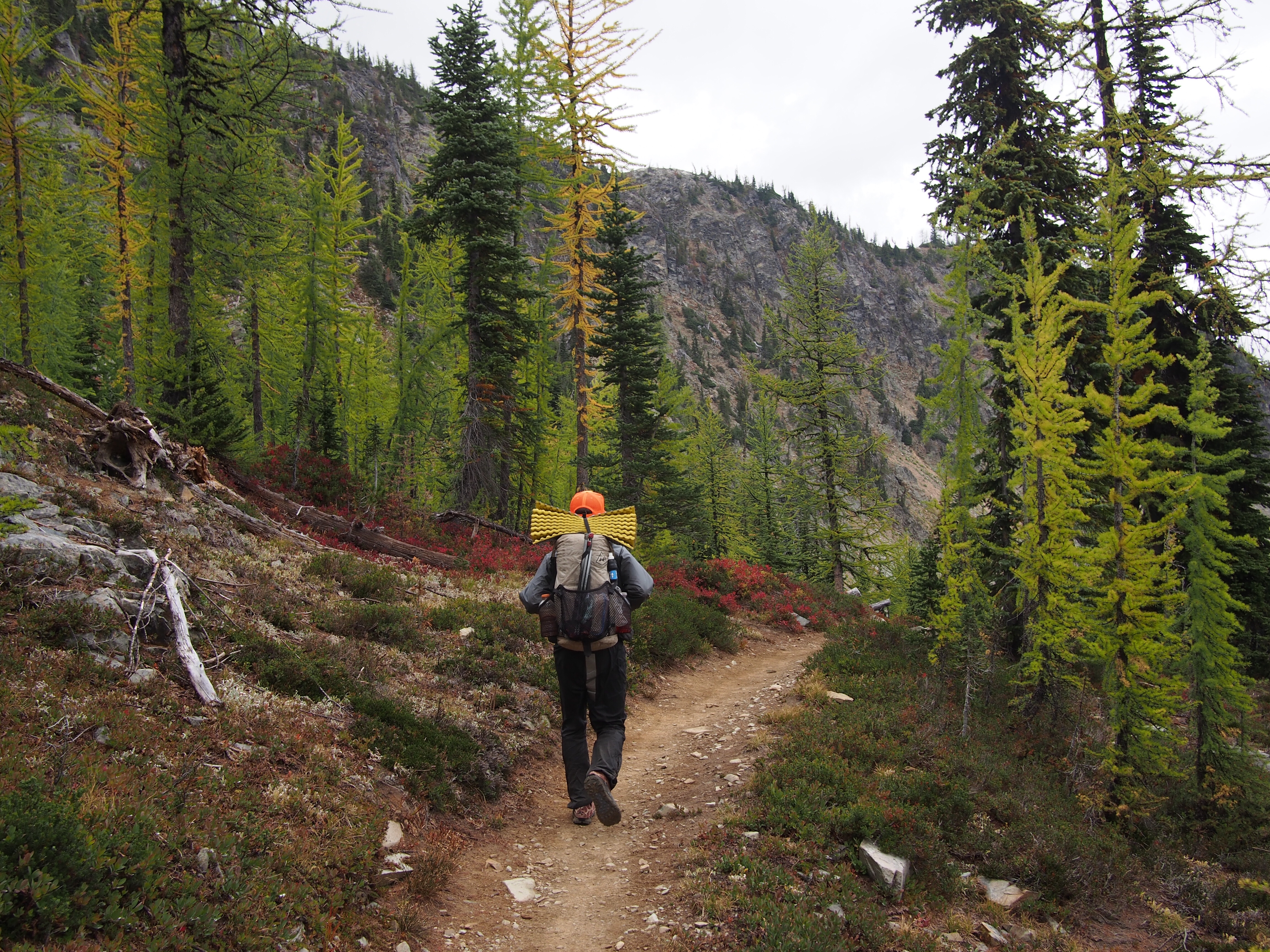
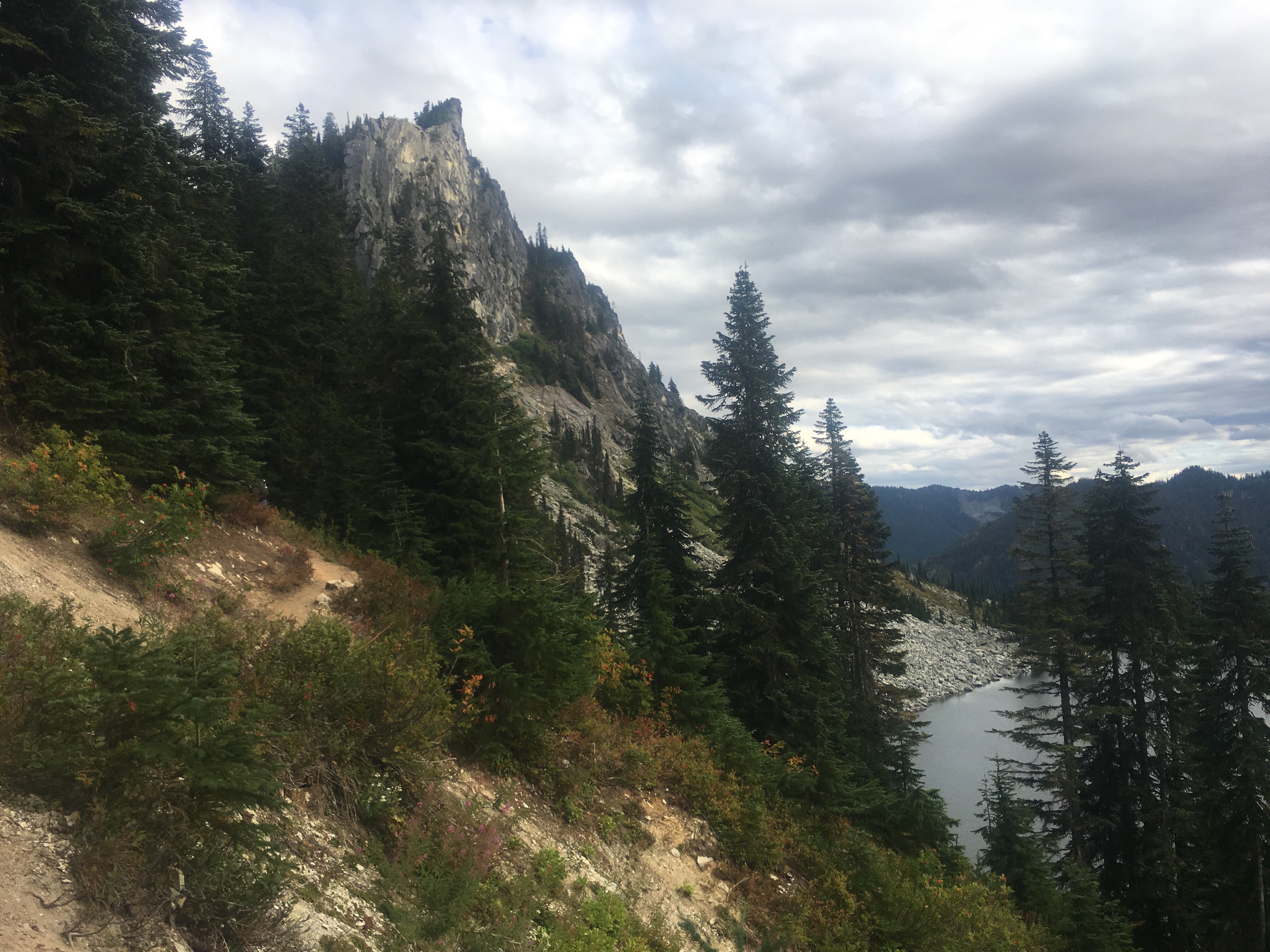
The Via Alpina starts from the lake in Montreaux then climbs straight up. If you reached the Freddie Mercury statue you’ve gone too far. Almost immediately we were walking up this gorge that felt like a rainforest with a cascading waterfall running in the middle of it. We continued to climb along roads and trails up through little villages until we reached Rochers de Naye, a ski mountain with a restaurant and stuff. They even had a train that brought people all they way up there from Montreaux. Guess we coulda taken that. A little side note; on the way up we saw a guy, pants down, taking a shit right on the side of the road, not the trail, the road, emergency style.

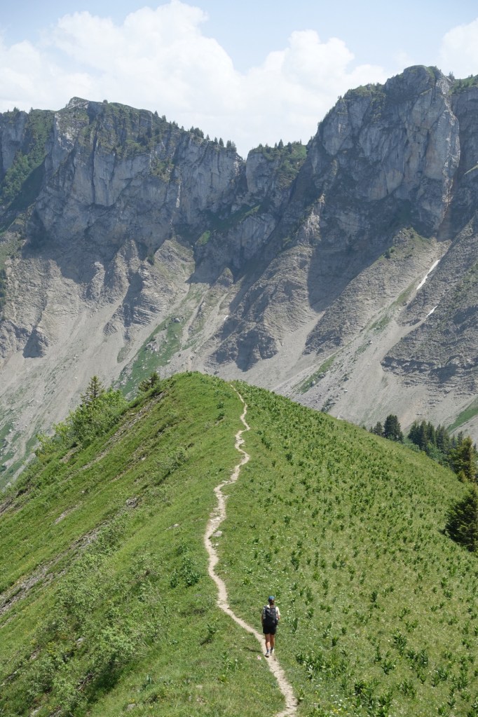
After lunch we did a little ridge walking, then dropped way down then had a very steep climb. It was hot too. I feel like we didn’t exactly ease our way into this trail even though I was expecting anything to be more chill than the GR20 that we just finished.
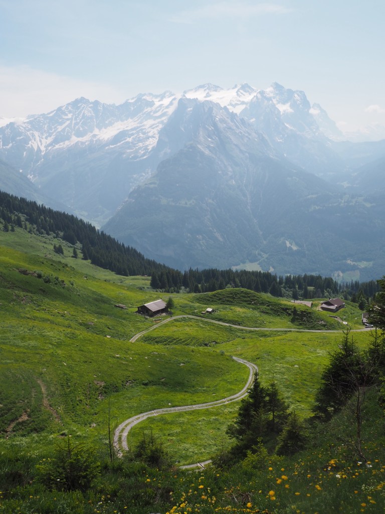
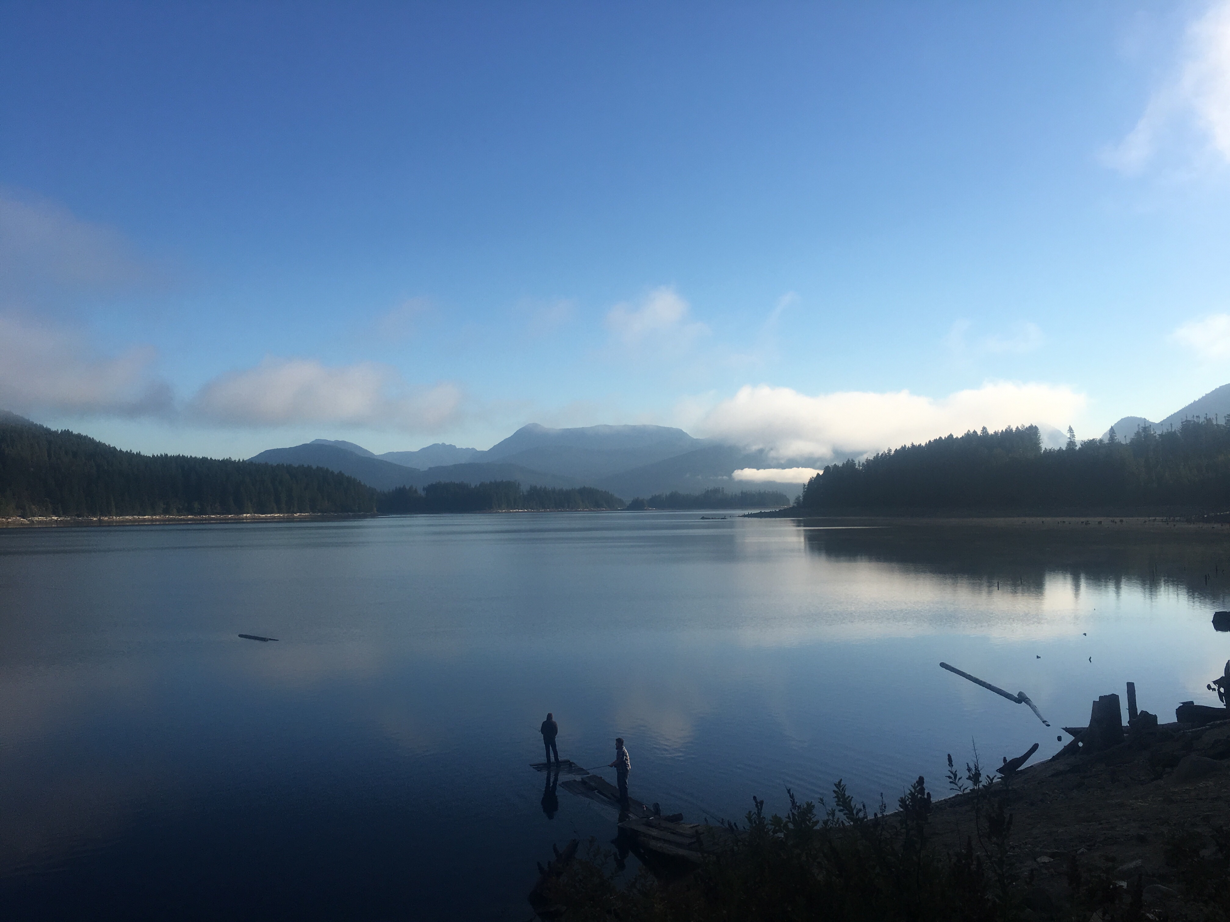
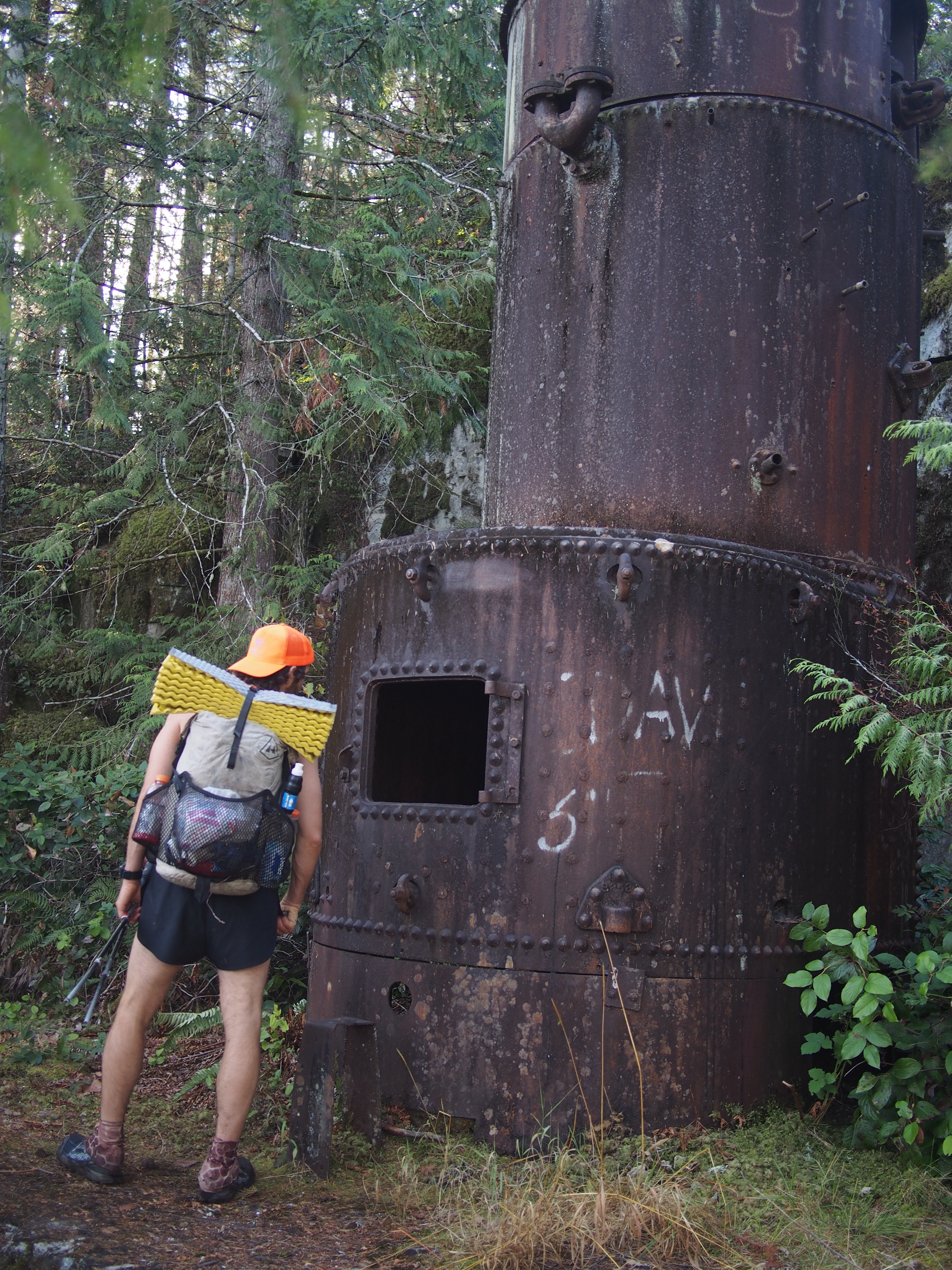
After 8000 feet of gain and a bunch of descent we got to La Lécherette and found a little campground for the night. Hoping that wild camping is more of a thing in Switzerland than Corsica but so far it seems like all the land we’re passing through is for people’s cows and sheep.
Day 2…6/14/25…25.5 miles…7200 ft gain…La Lécherette to Obere Lochberg
For a couple hours we just rolled through meadows this morning and then we got to a cheese factory in L’Etivaz. Huge wheels of cheese in this place, yesterday I saw a dude wrestling a wheel of cheese into his car like he was moving around 45 pound plates at the gym. We bought ourselves a wedge and as we were leaving, a parade of kids dressed as shepherds were walking a herd of cows up into a valley. I guess they do this twice a year, up into the valley now and then it’s a big spectacle in October when the cows come home.
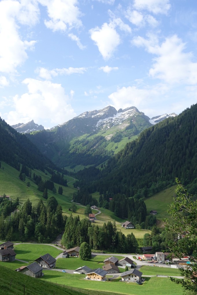
After the parade we climbed straight up and then walked all morning. It was hard to tell what was a ski mountain or what was a dairy cow operation. Everything out here seemed to be one or the other but it was cool. We crossed over Col de Jable which is the linguistic divide here. To the west people speak French, to east people speak German. Just means I have to adjust my google translate app cuz I don’t speak either.
We followed the trail steeply down into the ritzy ski town Gstaad. I don’t like this place. It’s wicked fancy, there’s Louis Vouiton and Coach stores and stuff. They did have a Coop grocery store so we got ourselves lunch and packed out a baguette and some hiker food to go with our cheese for dinner.
This afternoon the trail climbed gradually up a valley for about 7 miles until we crossed over Trütlisberg Pass. We’re camped about a mile after the pass. Pretty sure it’s legal where we are, above tree line and I don’t think we’re on anyone’s property.
Day 3…6/15/25…13.8 miles…3100 feet…Obere Lochberg to Adelboden
We walked down about 5 miles from our campsite to the ski town Lenk. It started raining on us halfway down. In town the rain let up and the sun came out and from there it was a 3000 foot climb over 3 miles to the top of Hahnenmoospass. It was a stiff climb and it was hot out and my allergies were driving me bananas. Up the top of the pass were chairlifts and a bunch of people with remote control planes. I thought they were real planes flying around all crazy until we got close enough. This is basically a hot bed of remote control airplane activity.
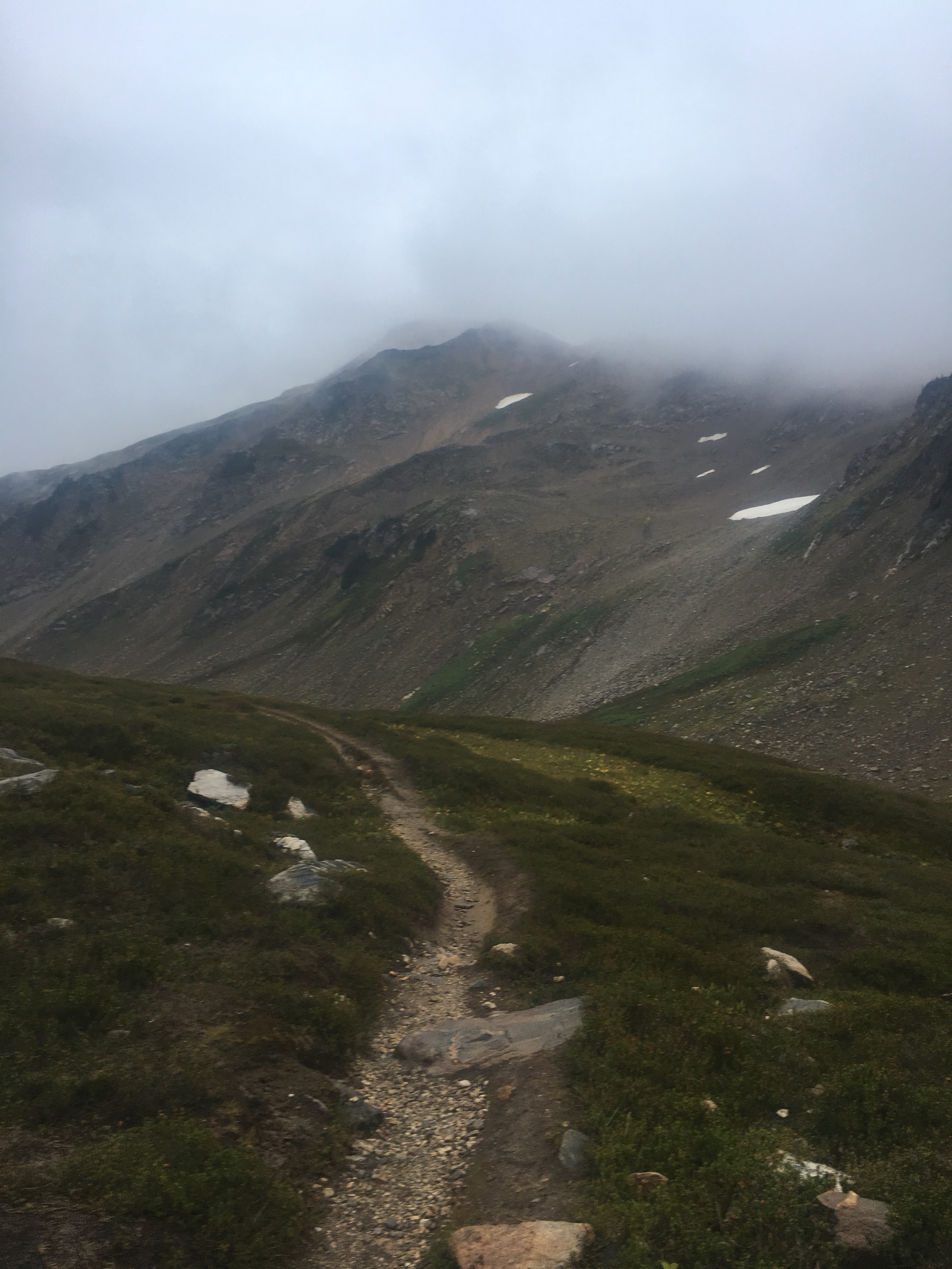
On our way down we had to make a decision. The next 3 passes are the highest passes on the route. There is supposedly some snow up there but it’s hard to tell how much since there are very few people coming our direction who have hiked over the passes. I don’t want to bust my ass to climb the next pass and then force myself to make a bad decision. What I mean is, if we get up there and it’s a dangerous situation, I don’t want to push through just because we don’t feel like hiking back down. Hiking around wasn’t exactly a viable option so we ended up taking a bus and a couple trains.

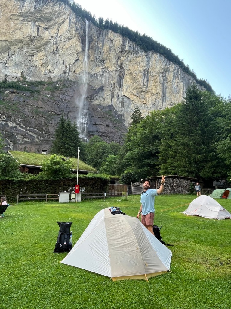
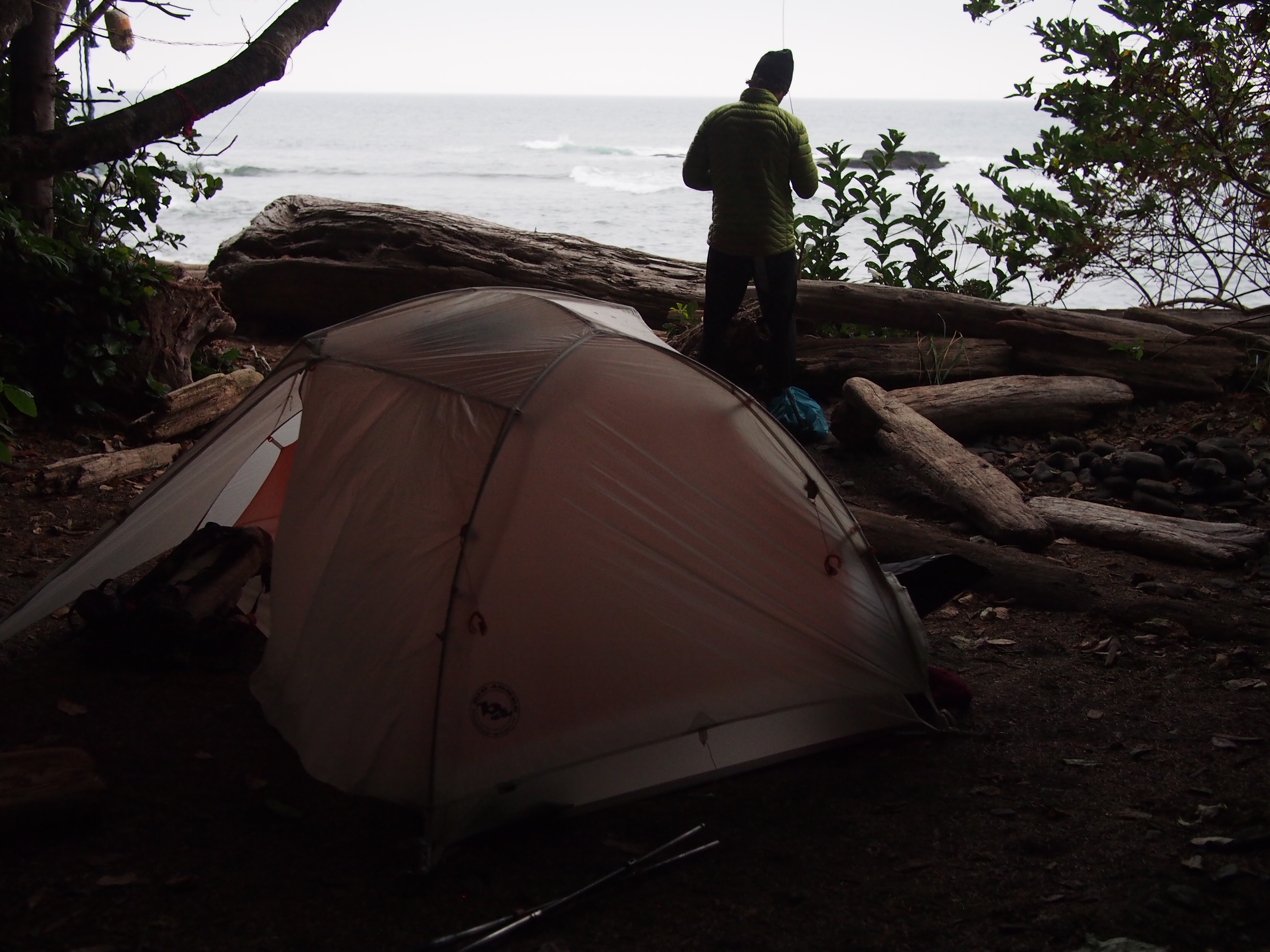
It took a couple hours but we ended up in Lauterbrunnen on the other side of the highest passes, only about 20 miles as the crow flies. We’re camping in a campground, not my favorite, with a million other tourists. The wild camping situation is tough out here, hoping it improves. At least we have a massive waterfall above us.
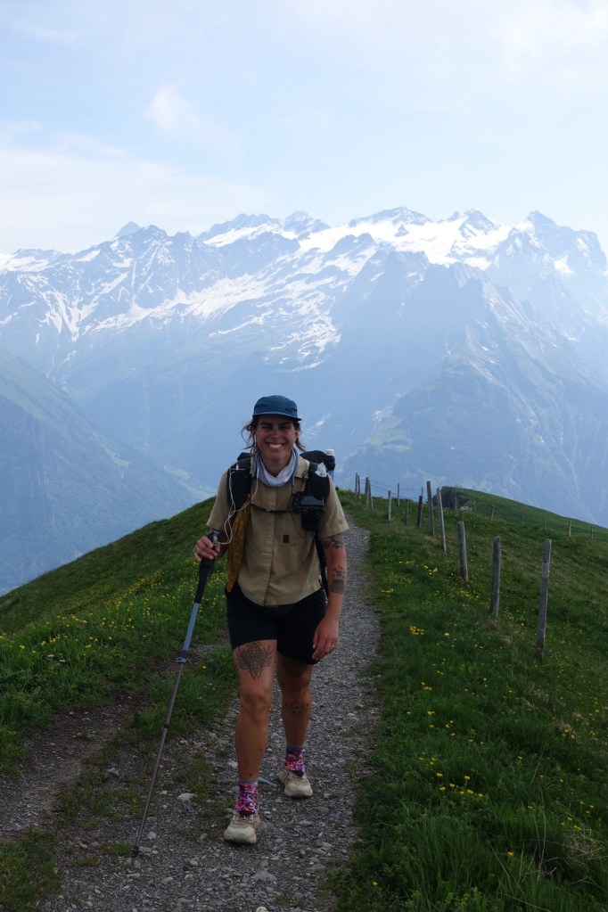
Day 4…6/16/25…21 miles…7,653 ft of gain…Lauterbrunnen to Grosse Scheibegg Pass
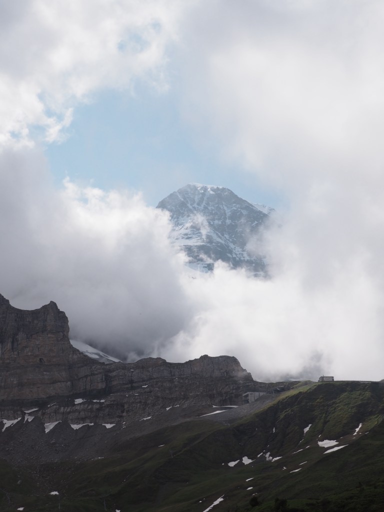
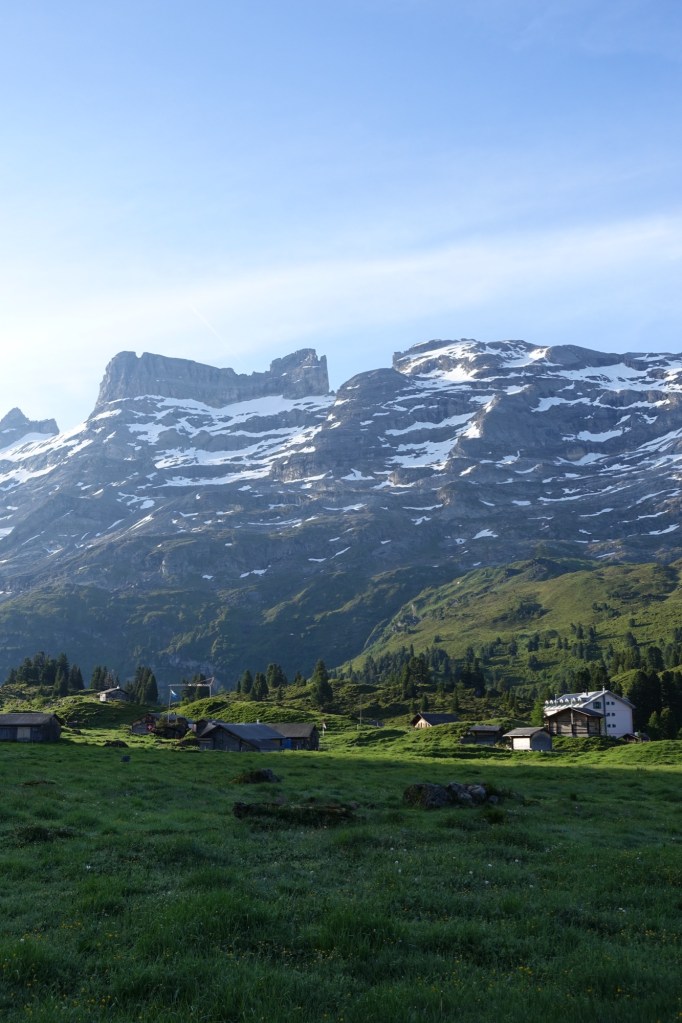
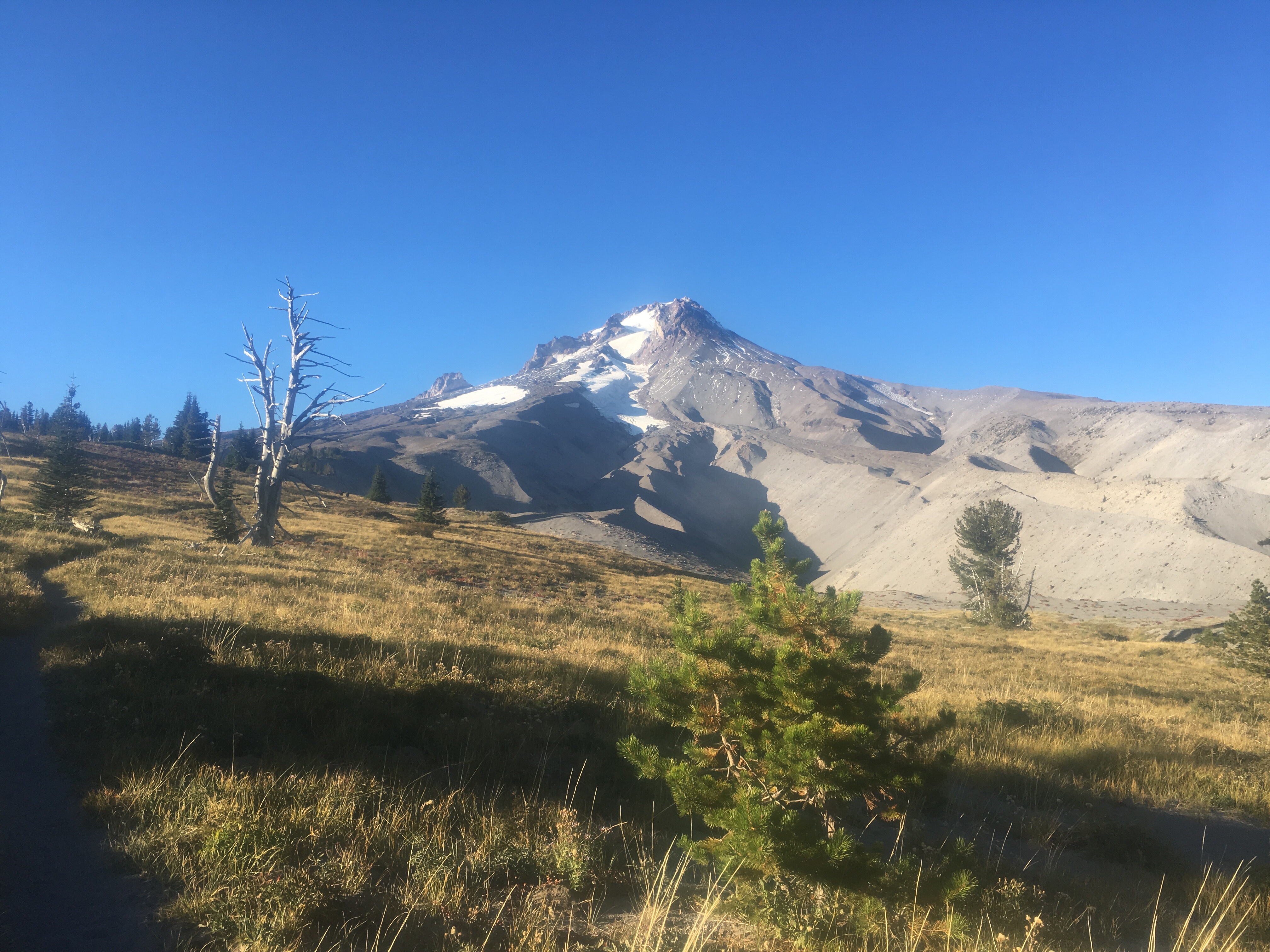
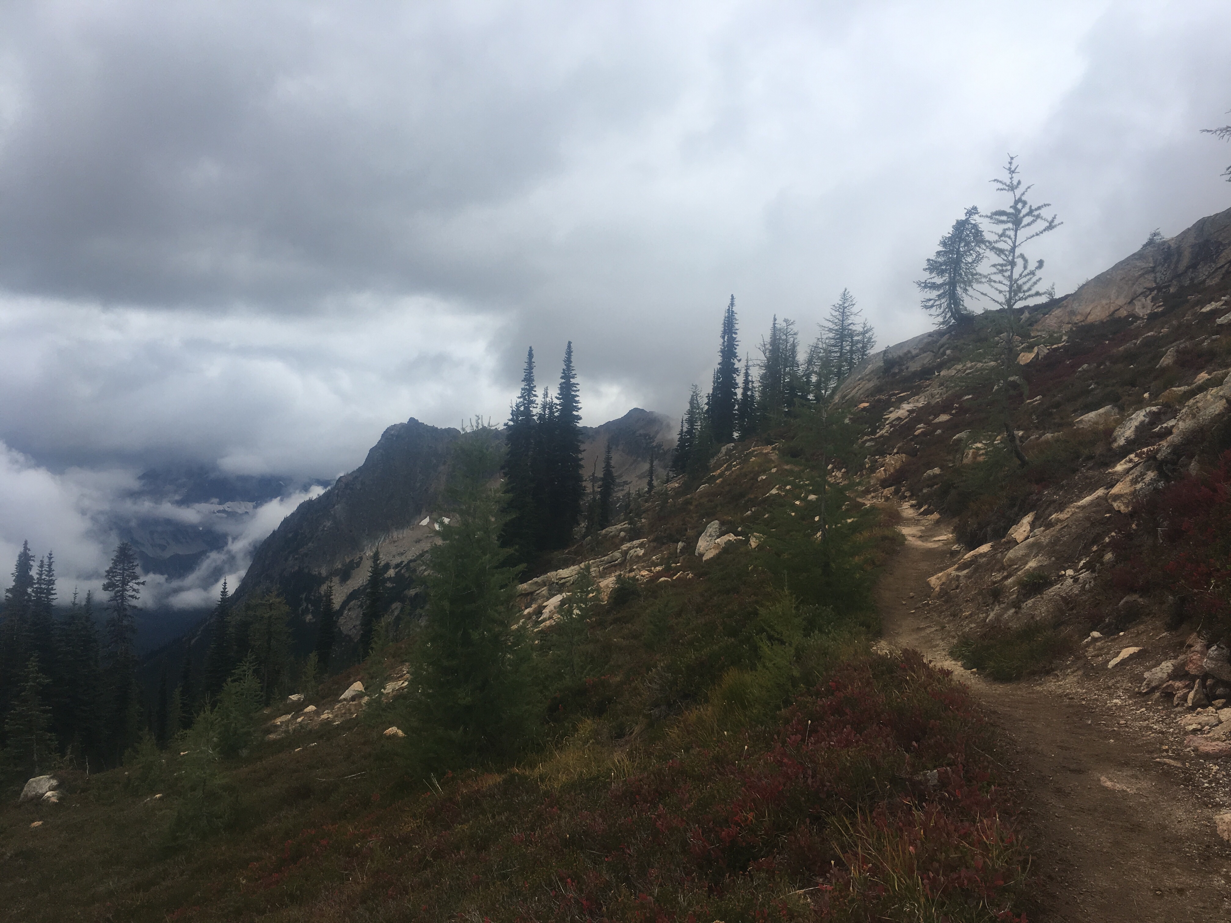
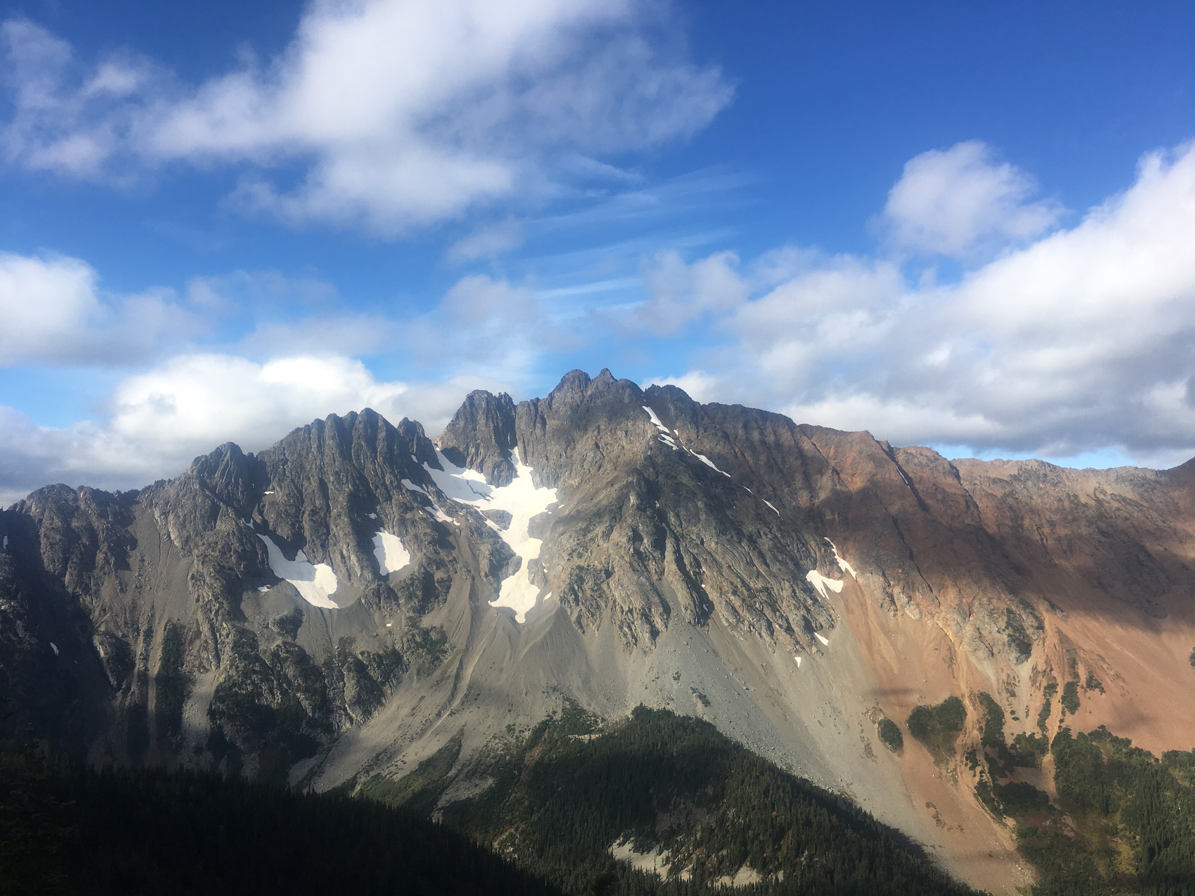
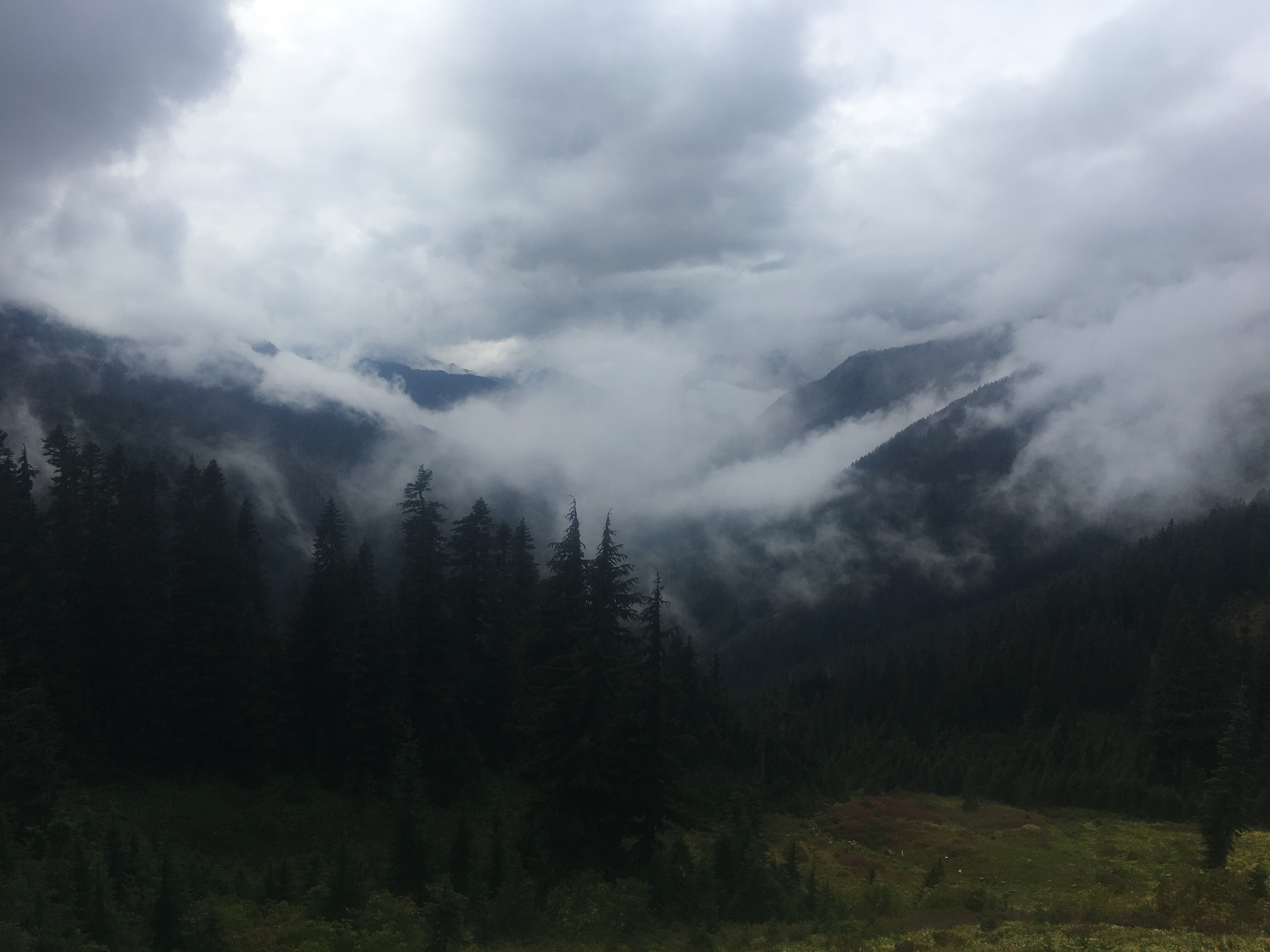
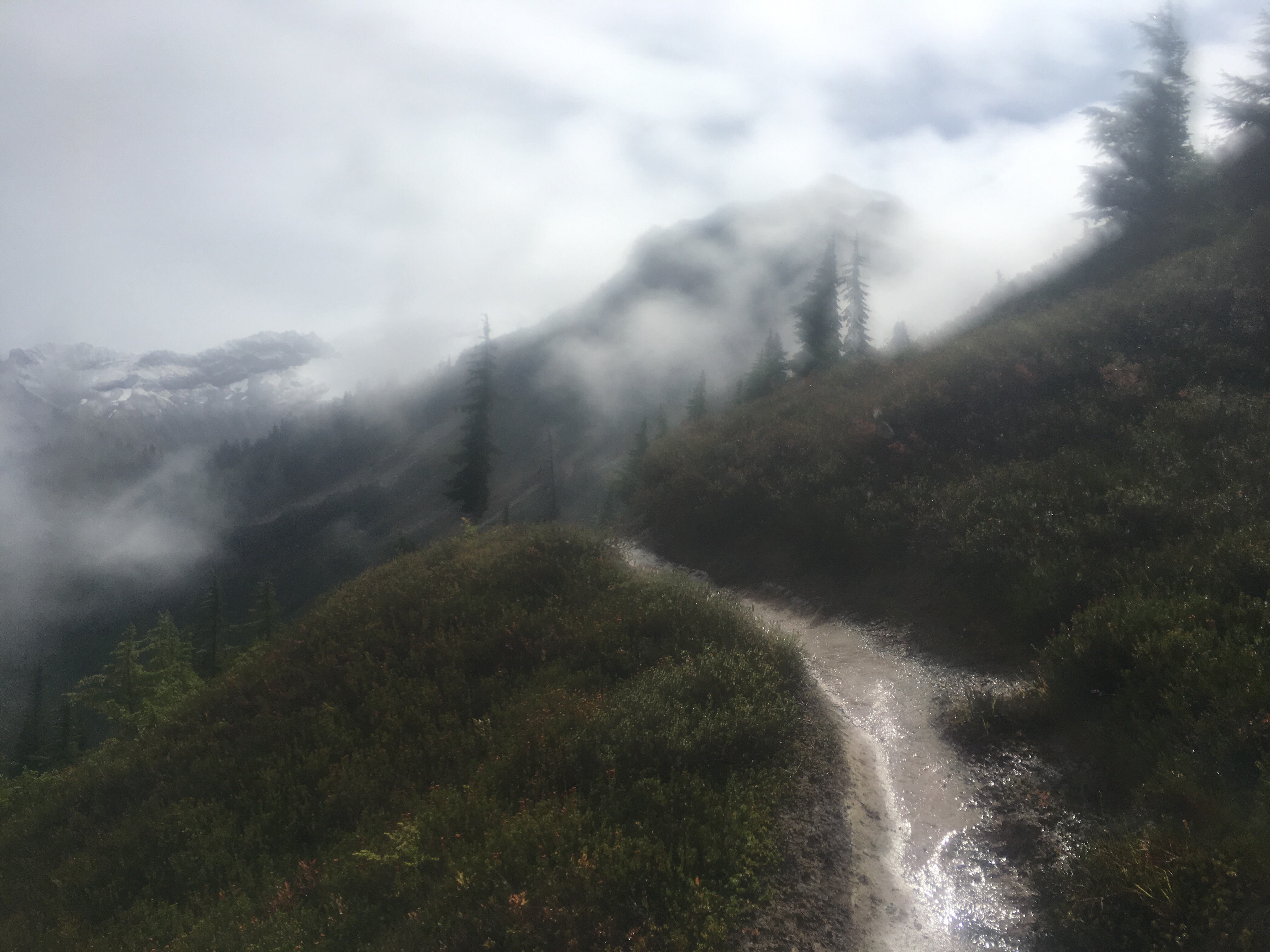
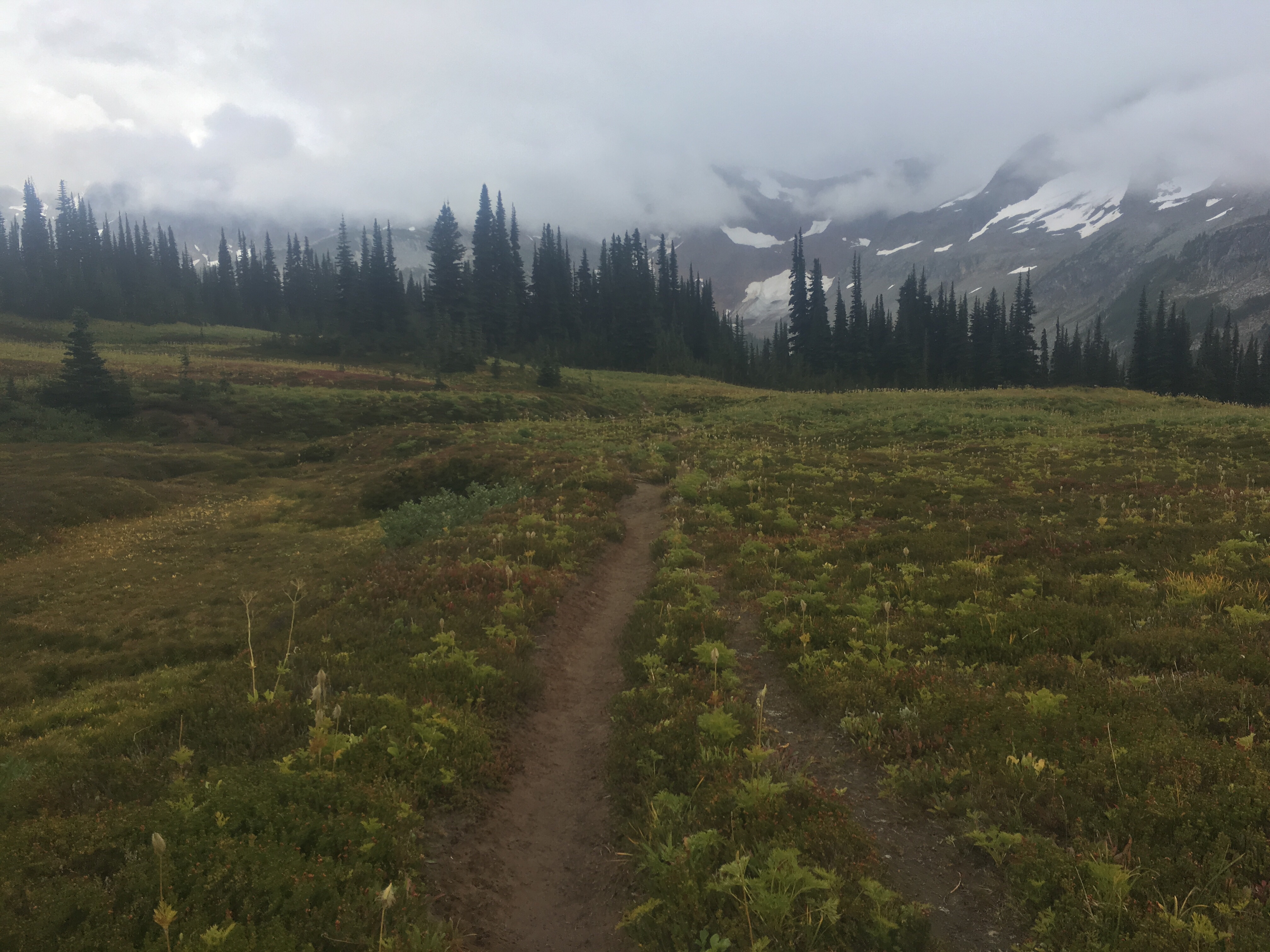
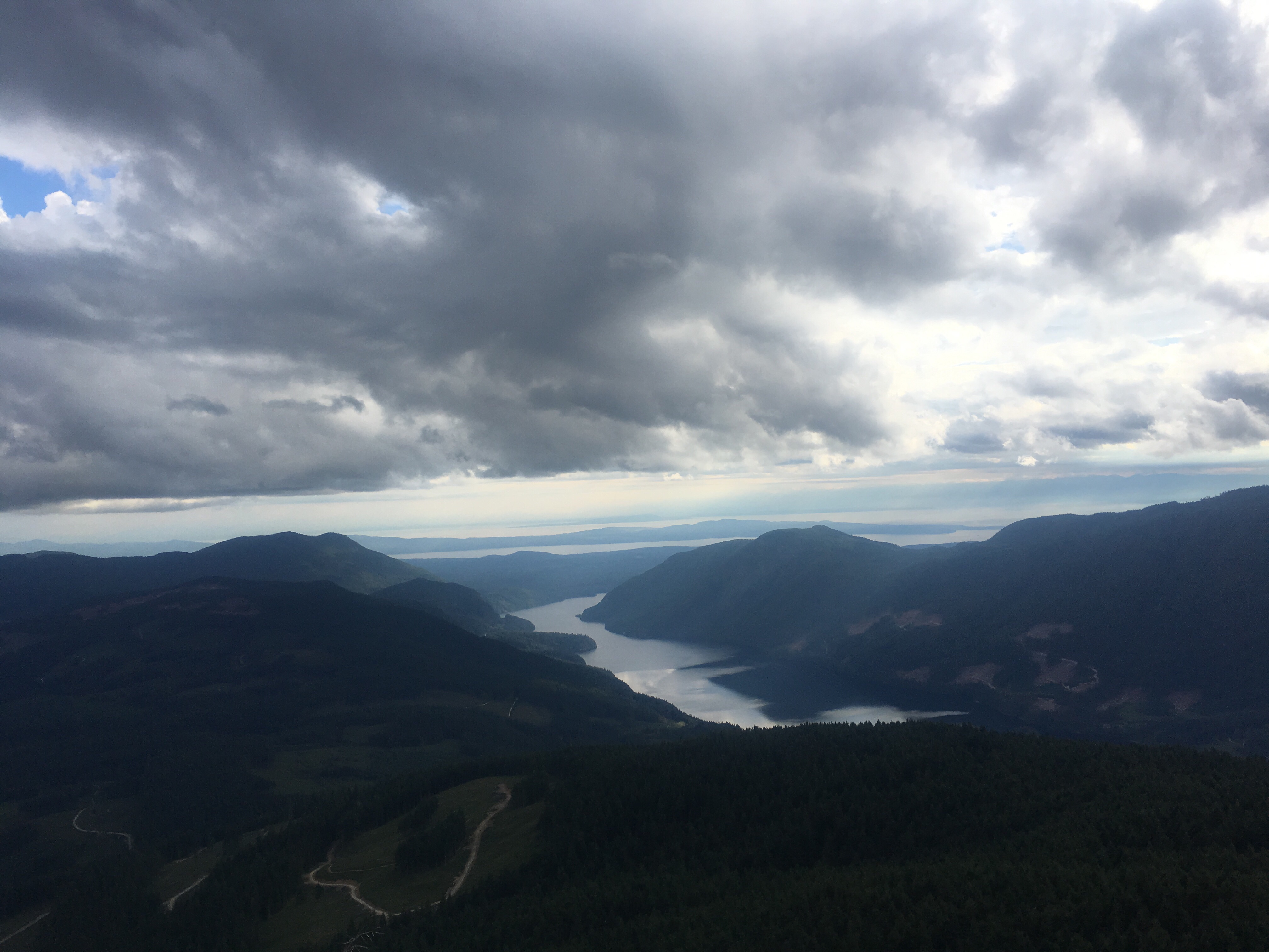
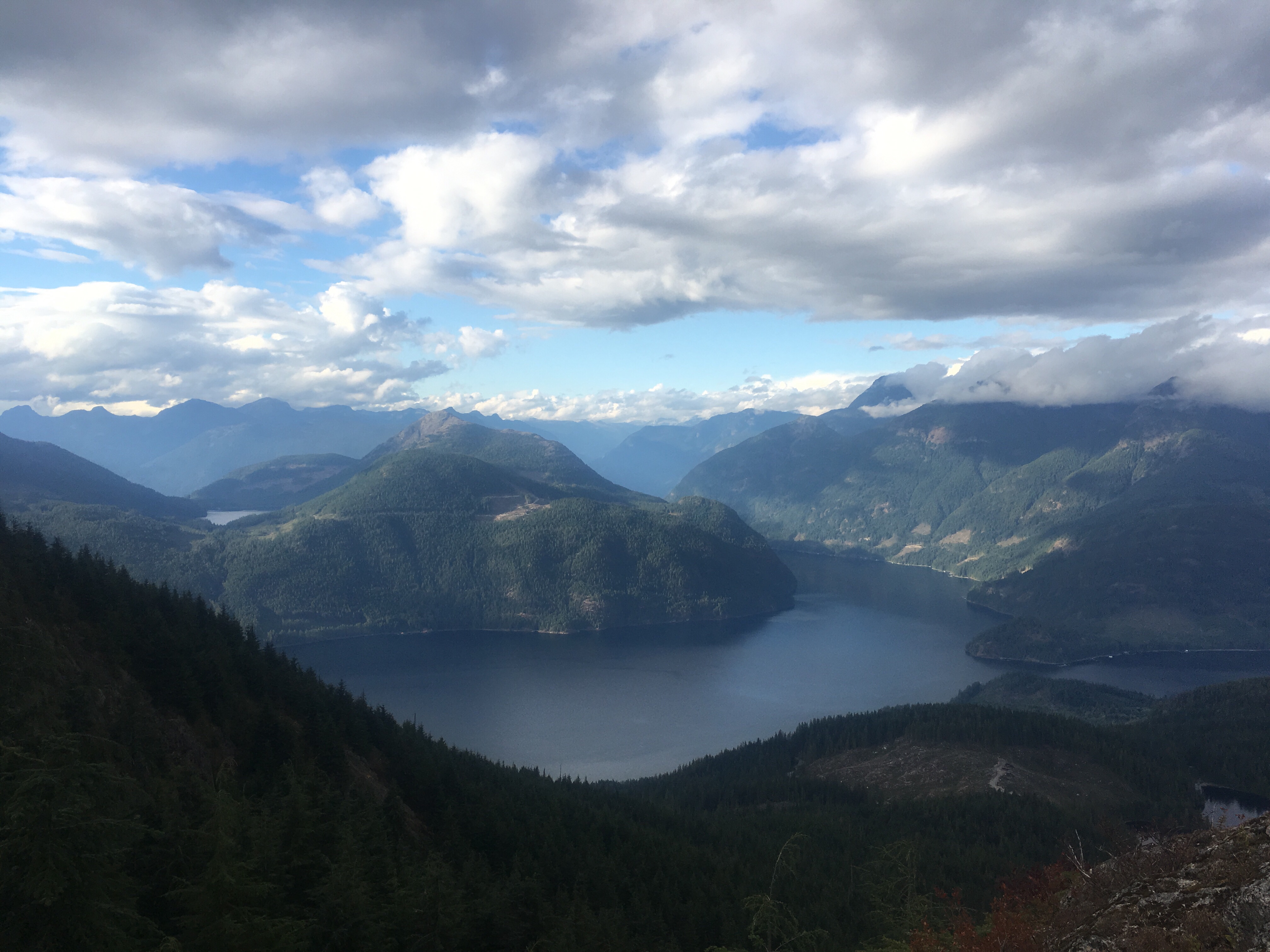
It rained overnight but I slept like a rock. We packed up our wet tent and walked out of town then uphill all morning. We got to a pass where we had views of Jungfrau and the Eiger. Just barely though cuz it was pretty cloudy. We waited at the pass for a bit and here and there the clouds would break and we had quick views of these magnificent mountains. The clouds provided a gloomy or dare I say moody atmosphere for this epic scenery.
It was a bit strange because where we were, we could have just taken a train. These towns are super busy, then people take all these trains to the top for the best views, walk around a bit, then take the train back to town. Whatever. It’s been a different hiking experience here in Switzerland.

From the pass we dropped like 3500 feet to Grindelwald, another fancy Swiss ski town. QB and I got food at the Coop then spread out our stuff to dry and ate lunch on some steps as people were walking by to get some souvenirs. We packed out some meat, cheese, and bread for dinner.
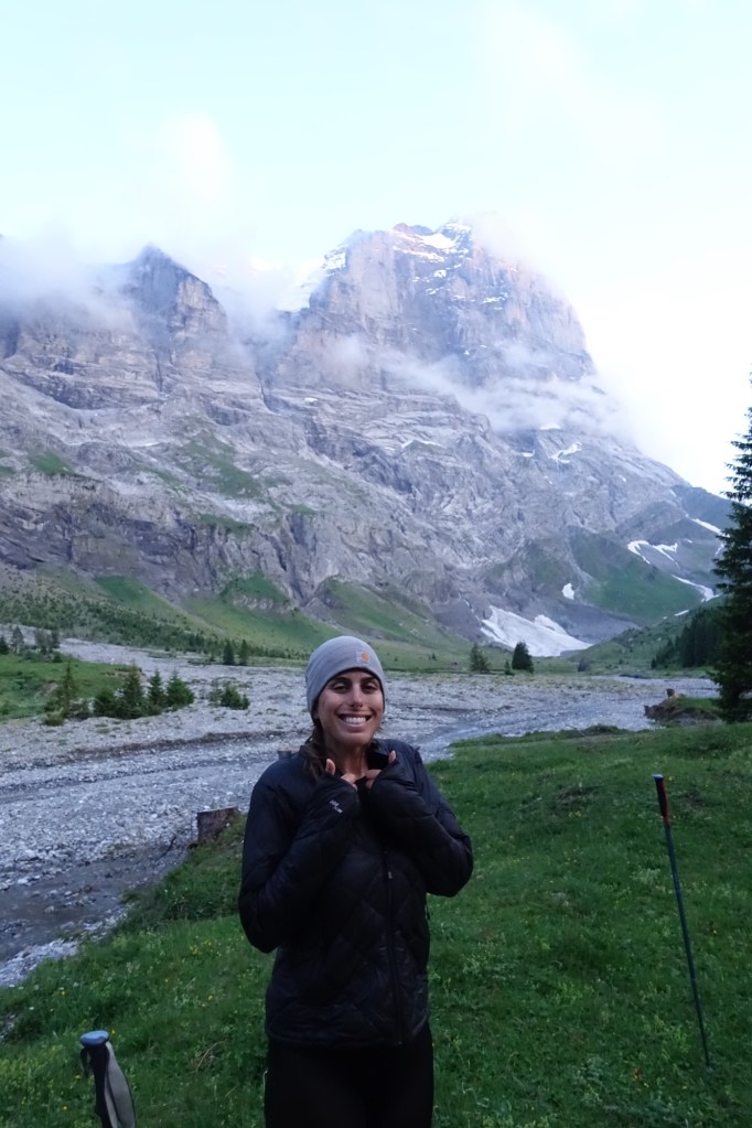
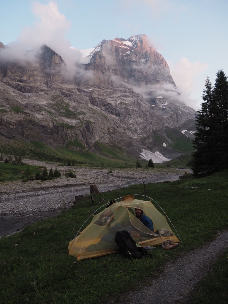
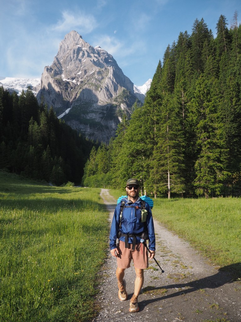
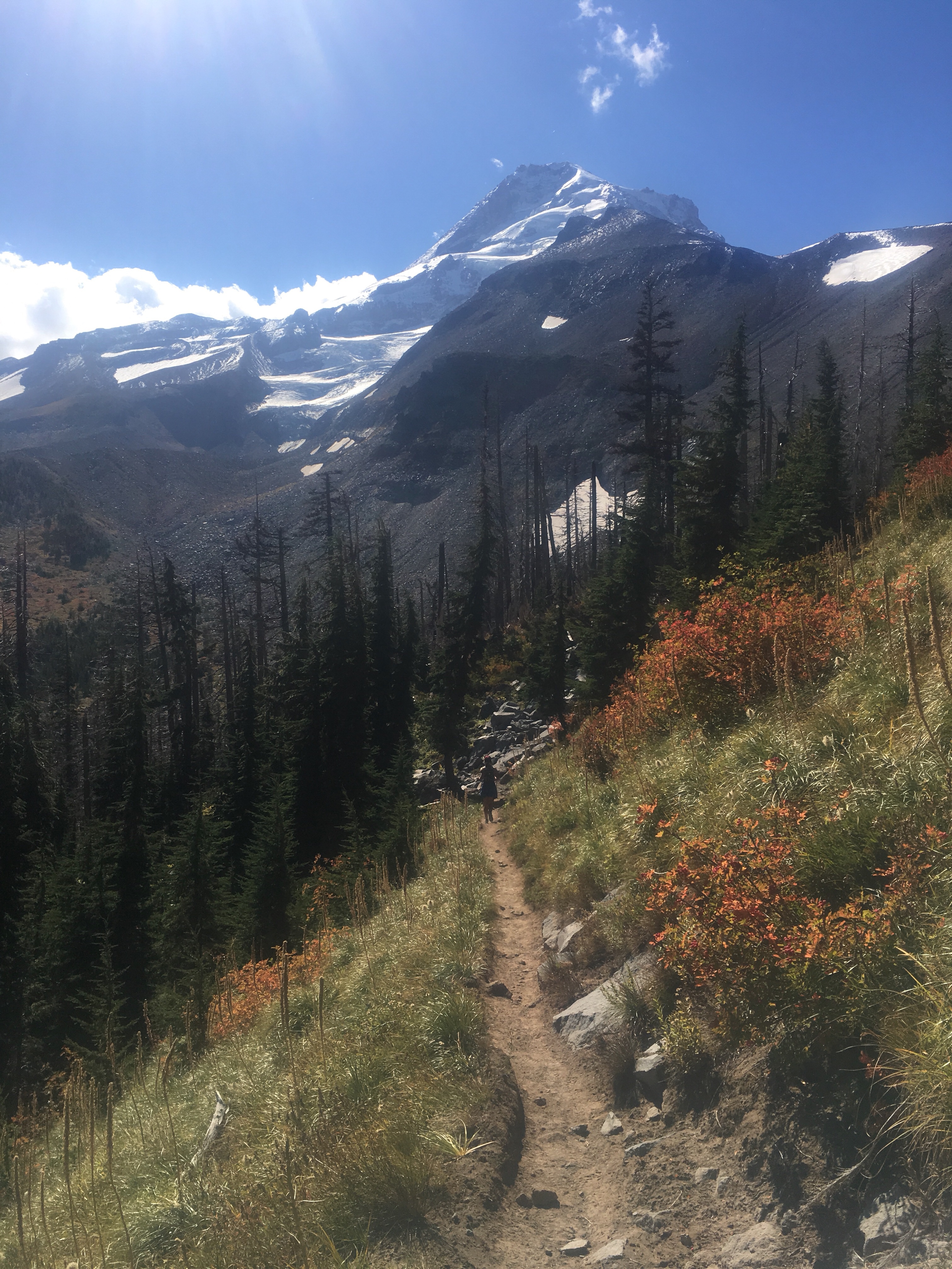
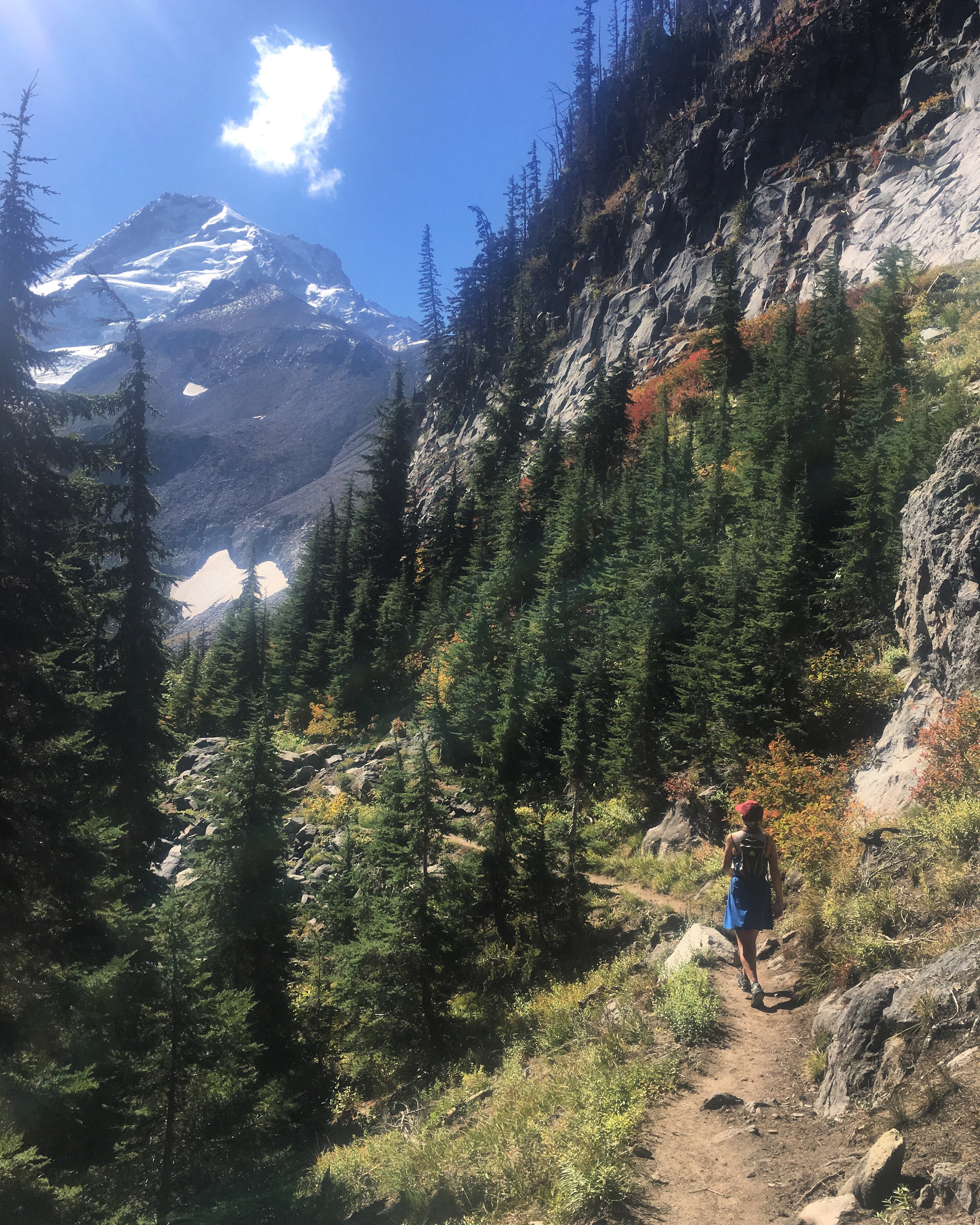
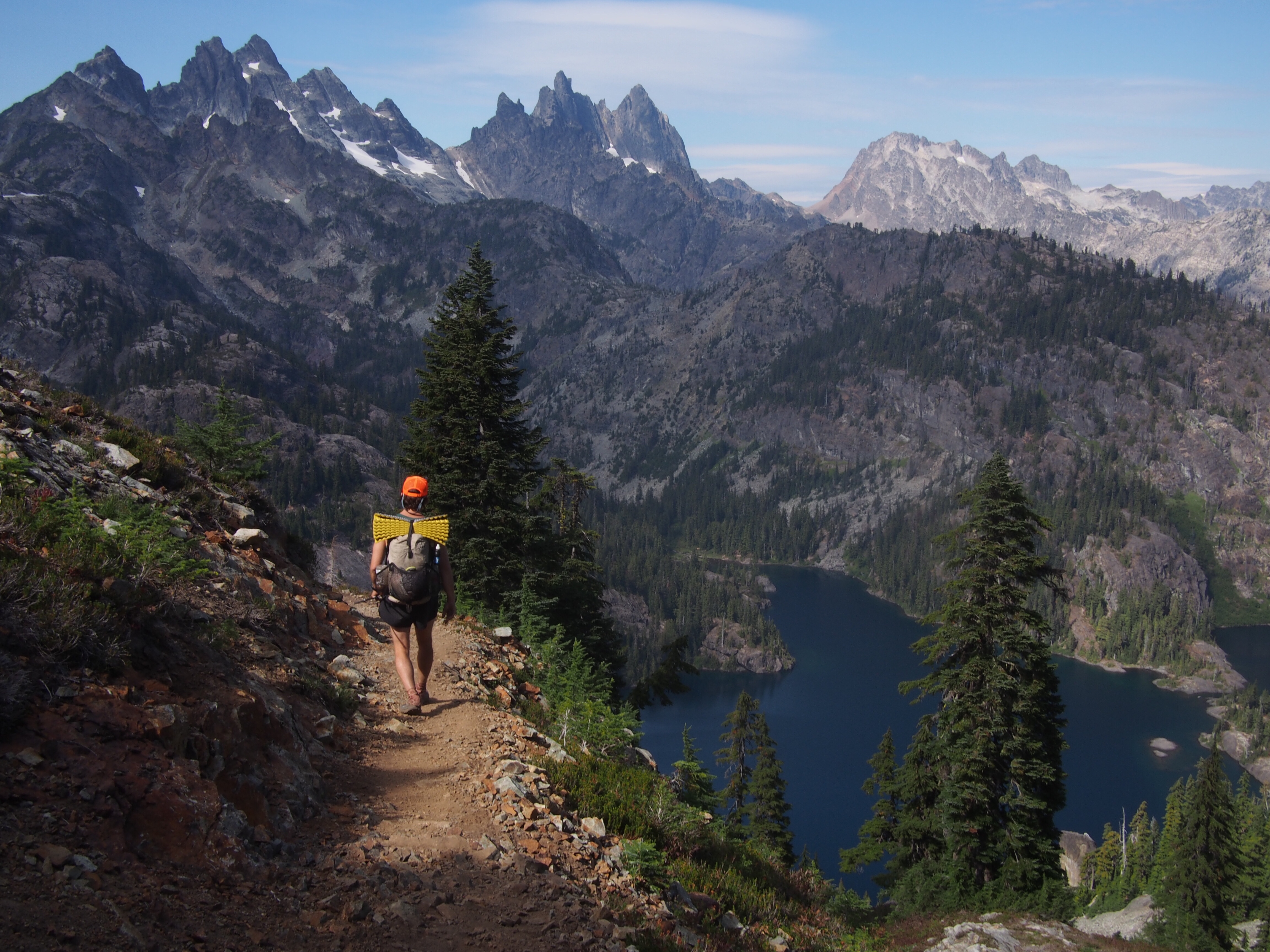
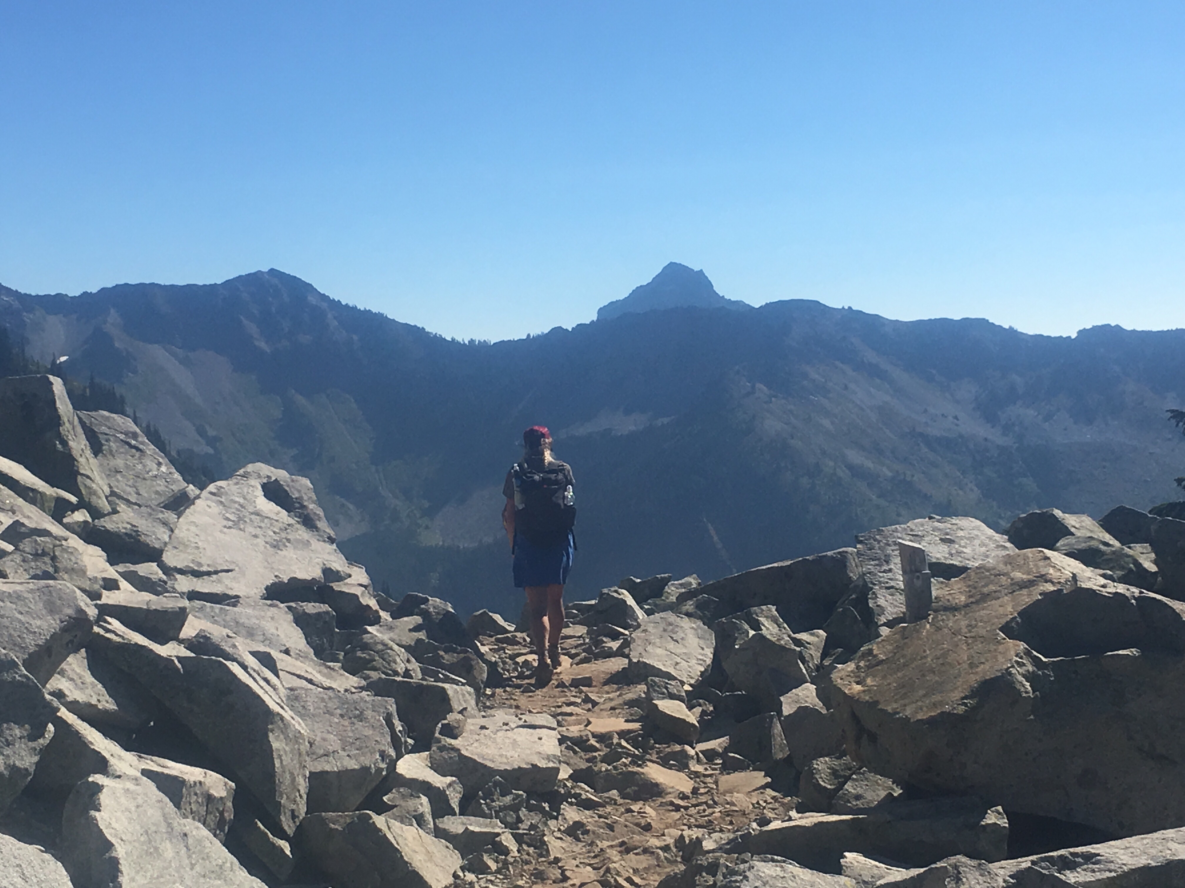
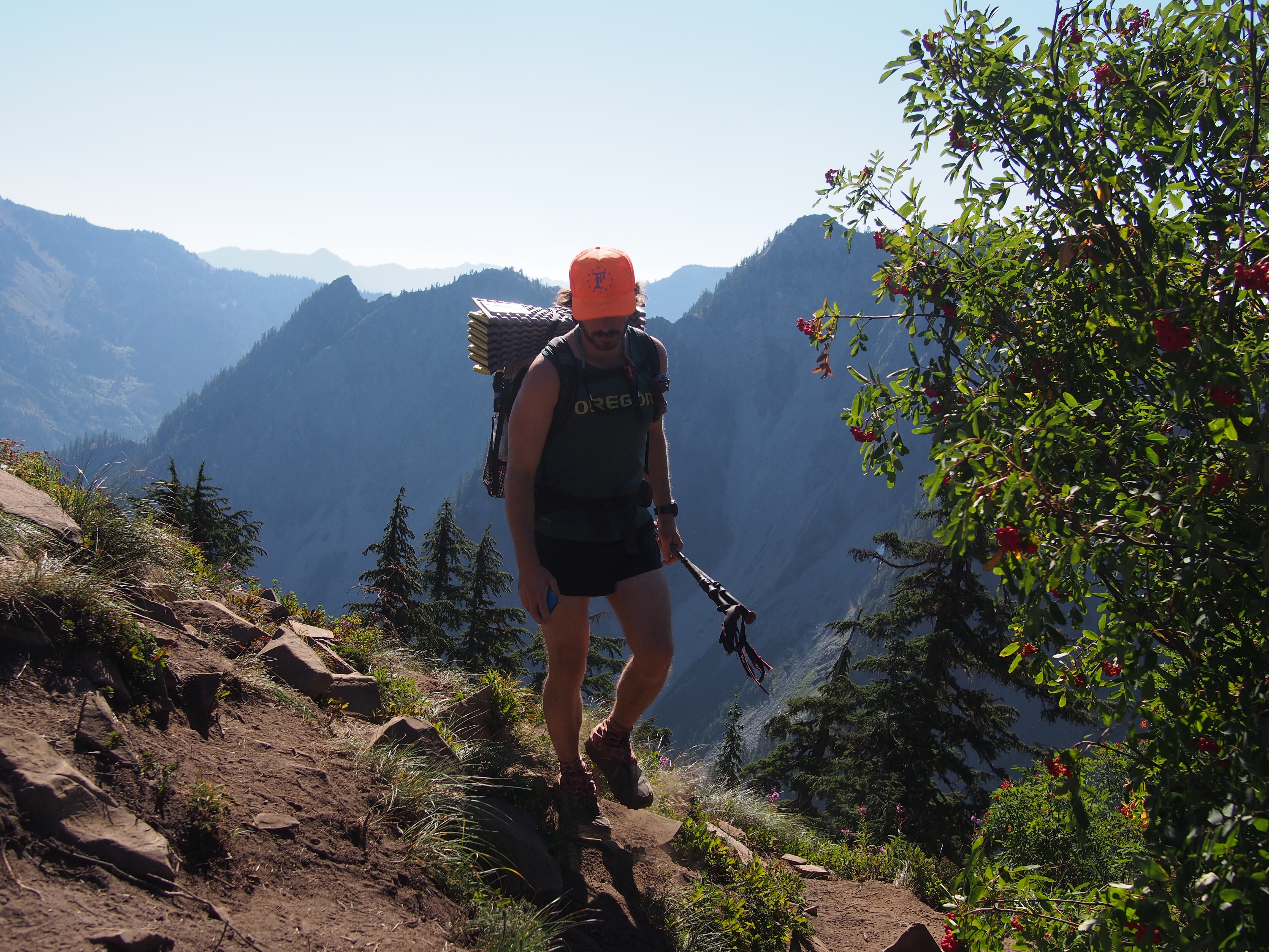
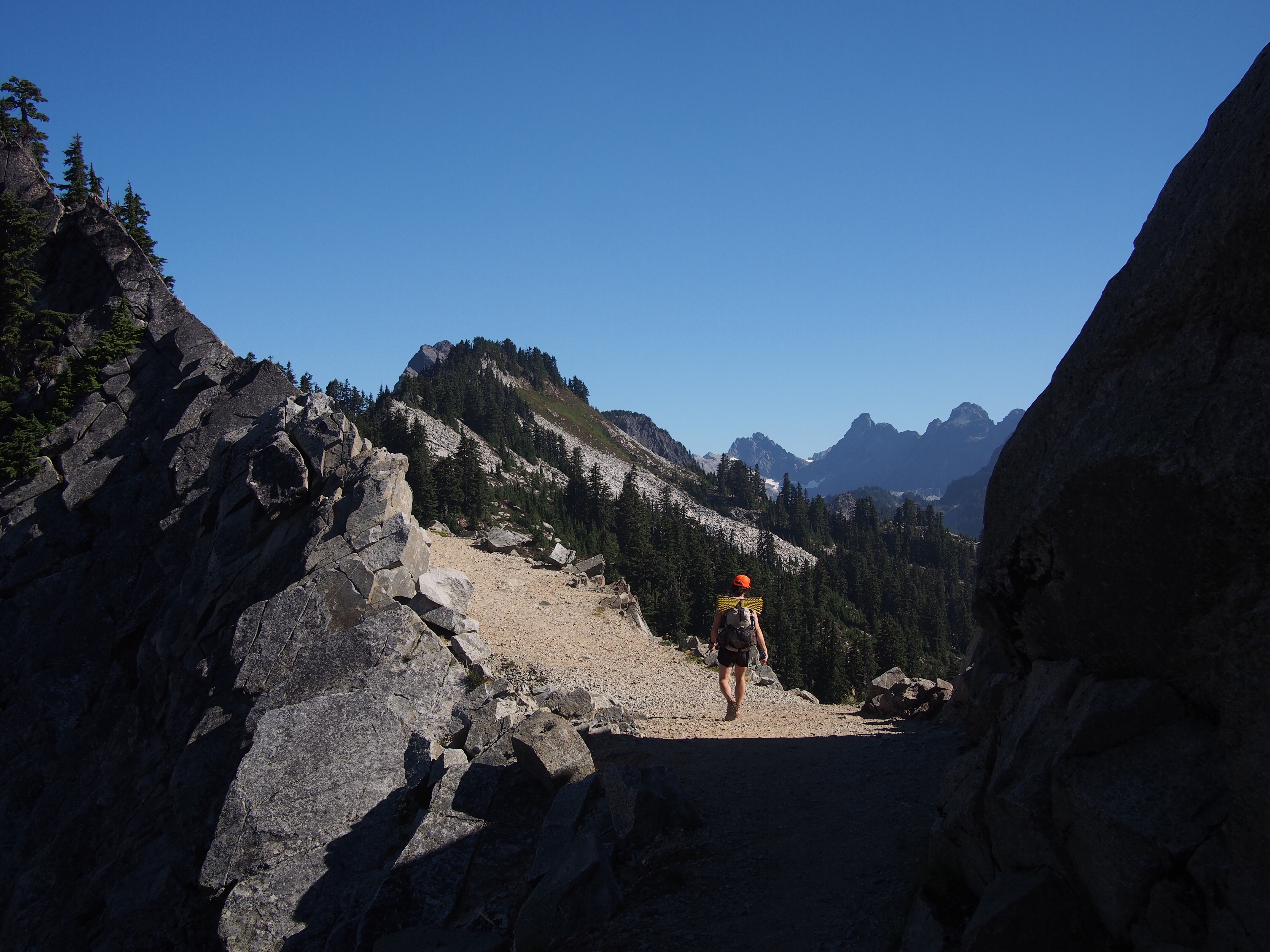
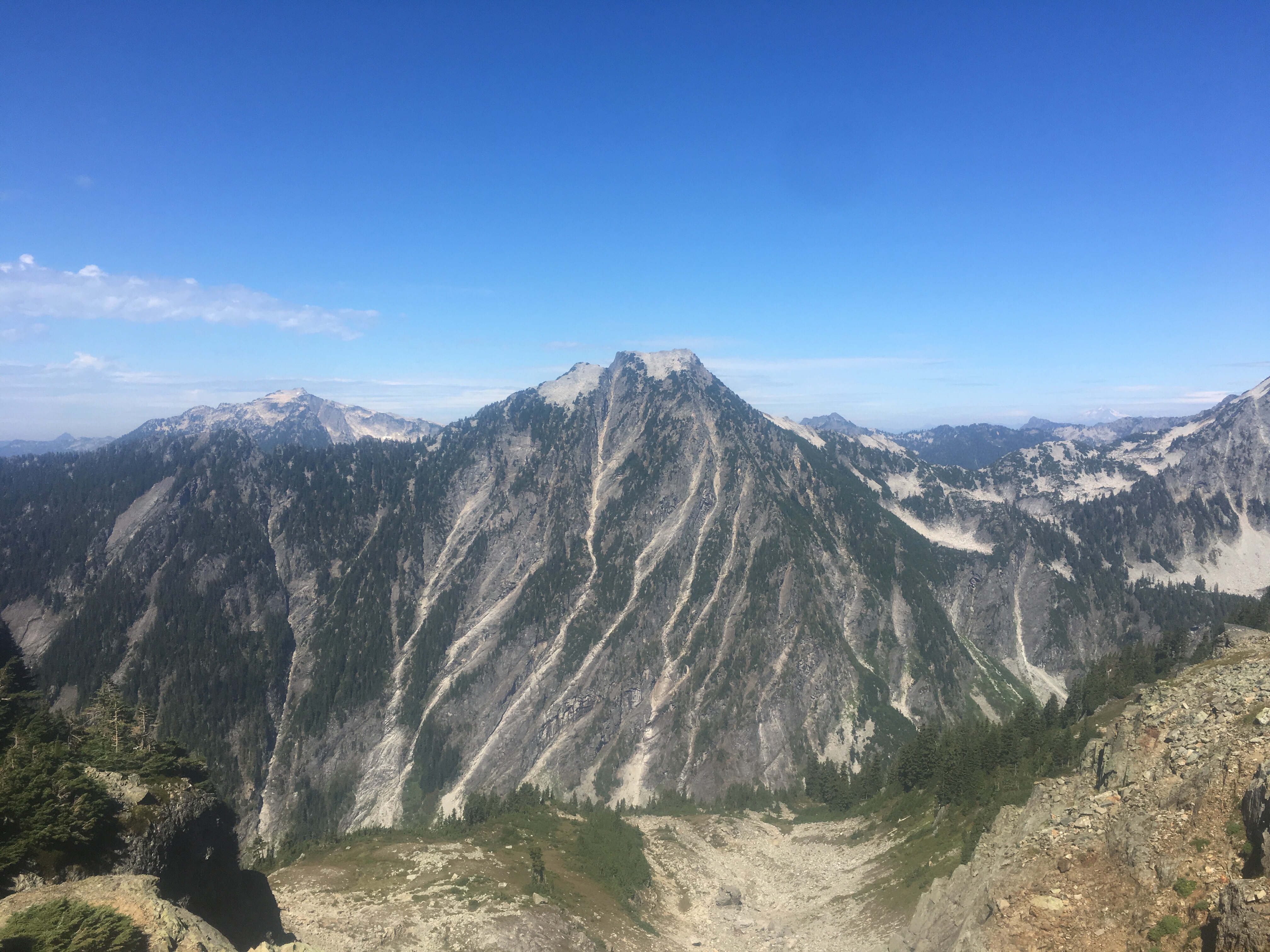
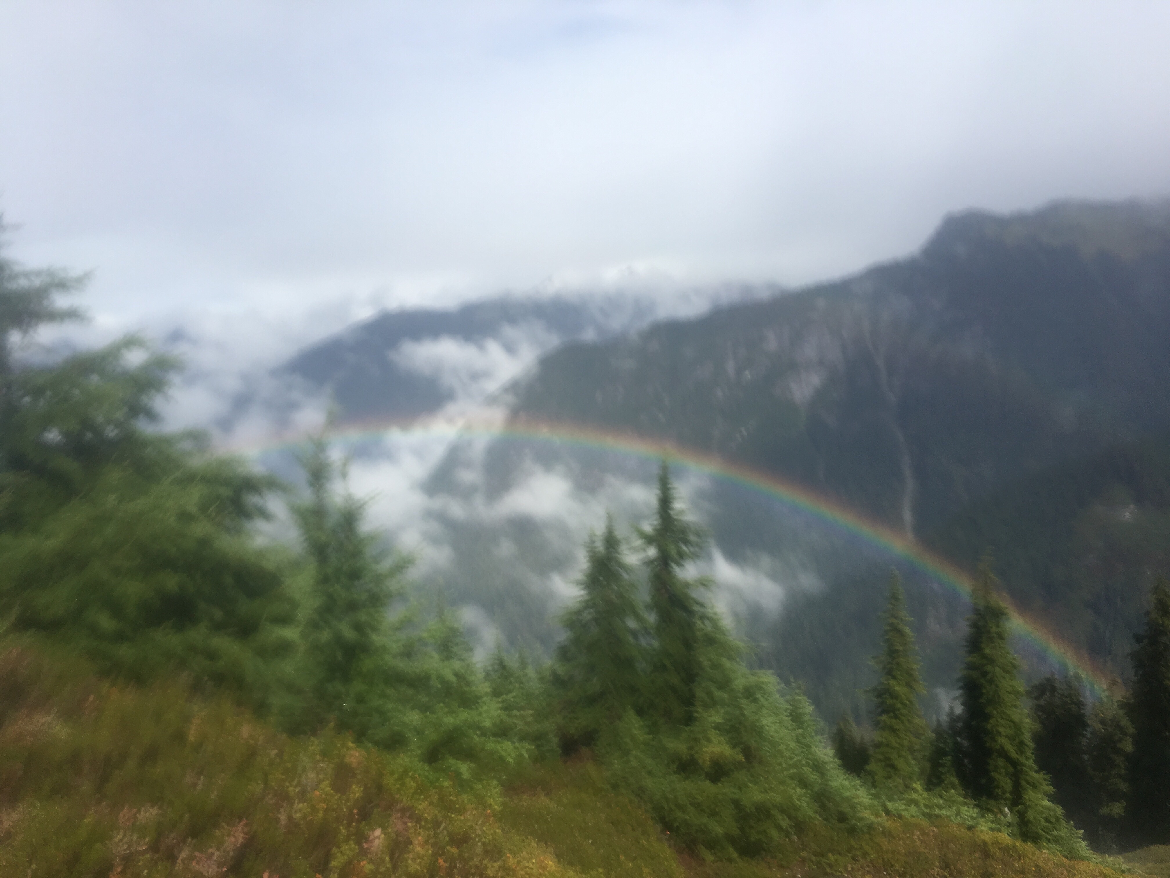
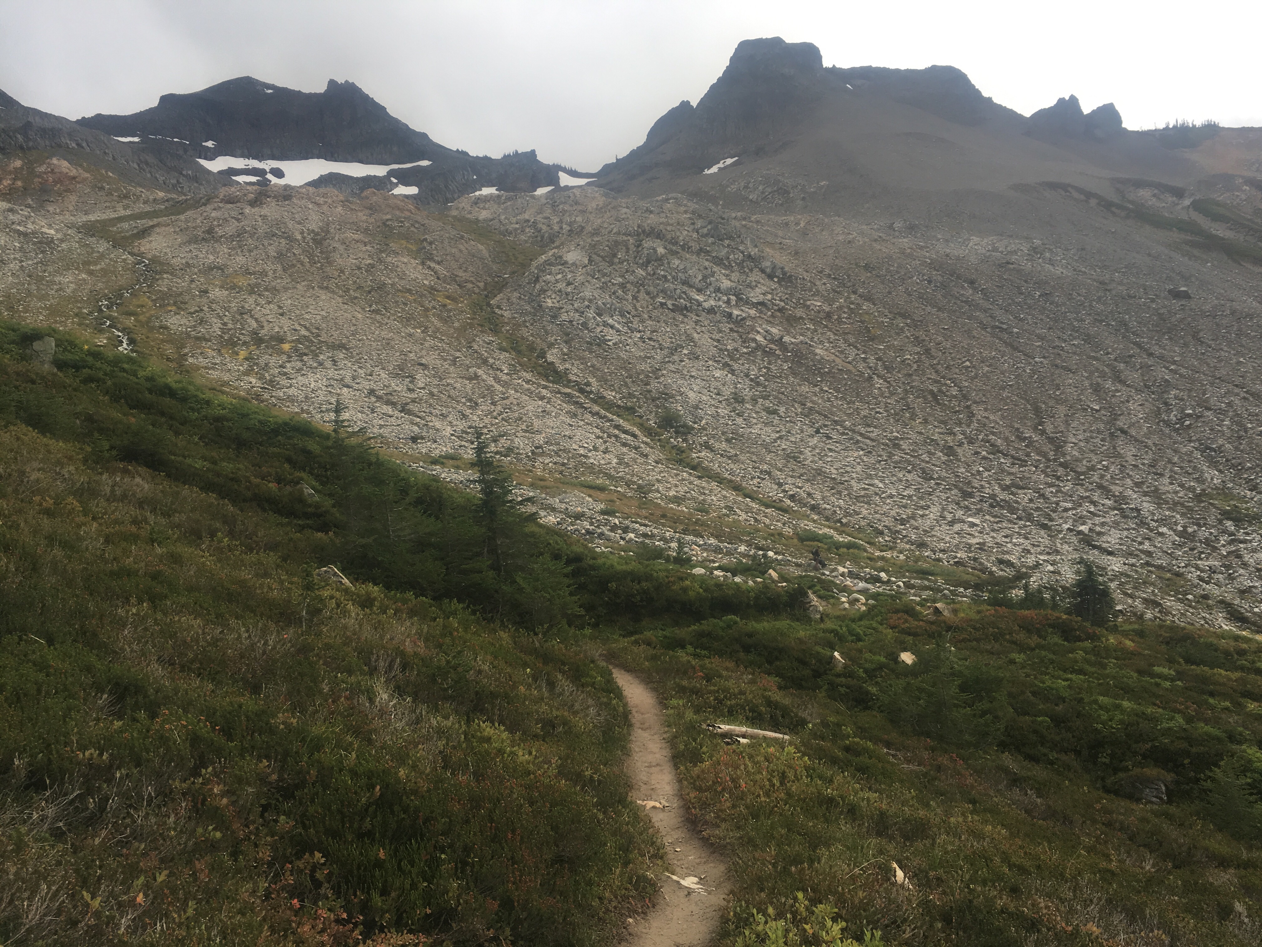
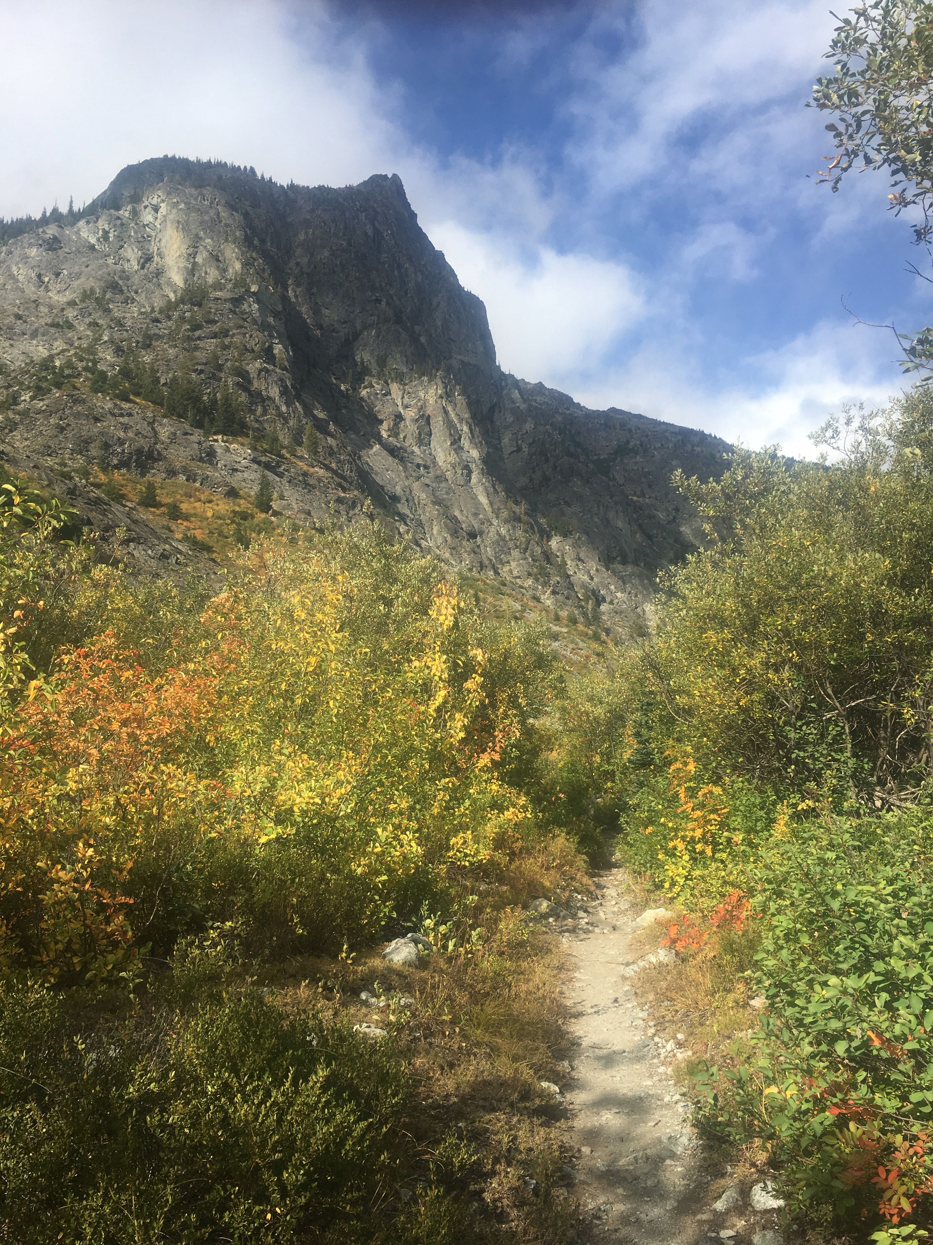
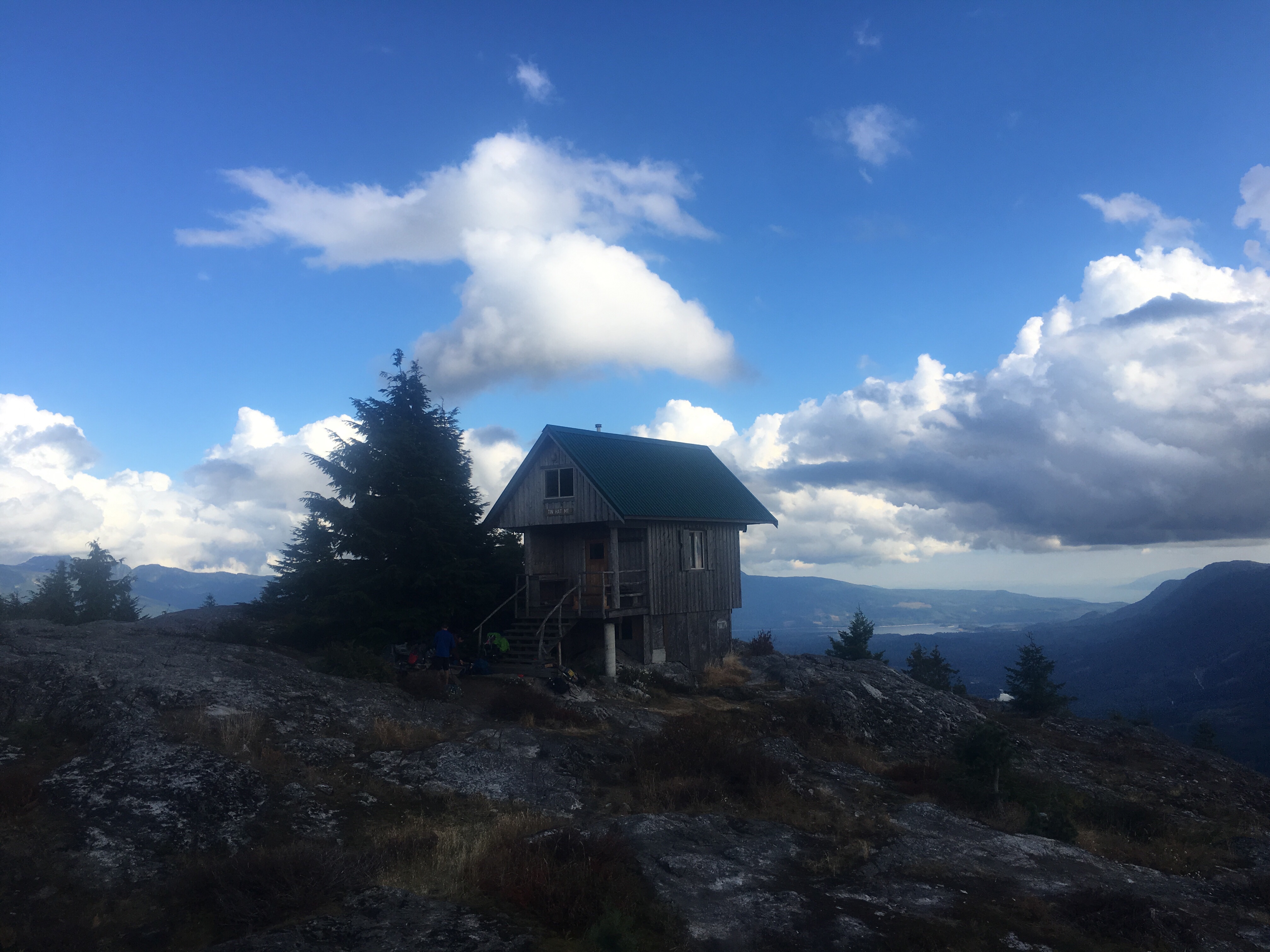
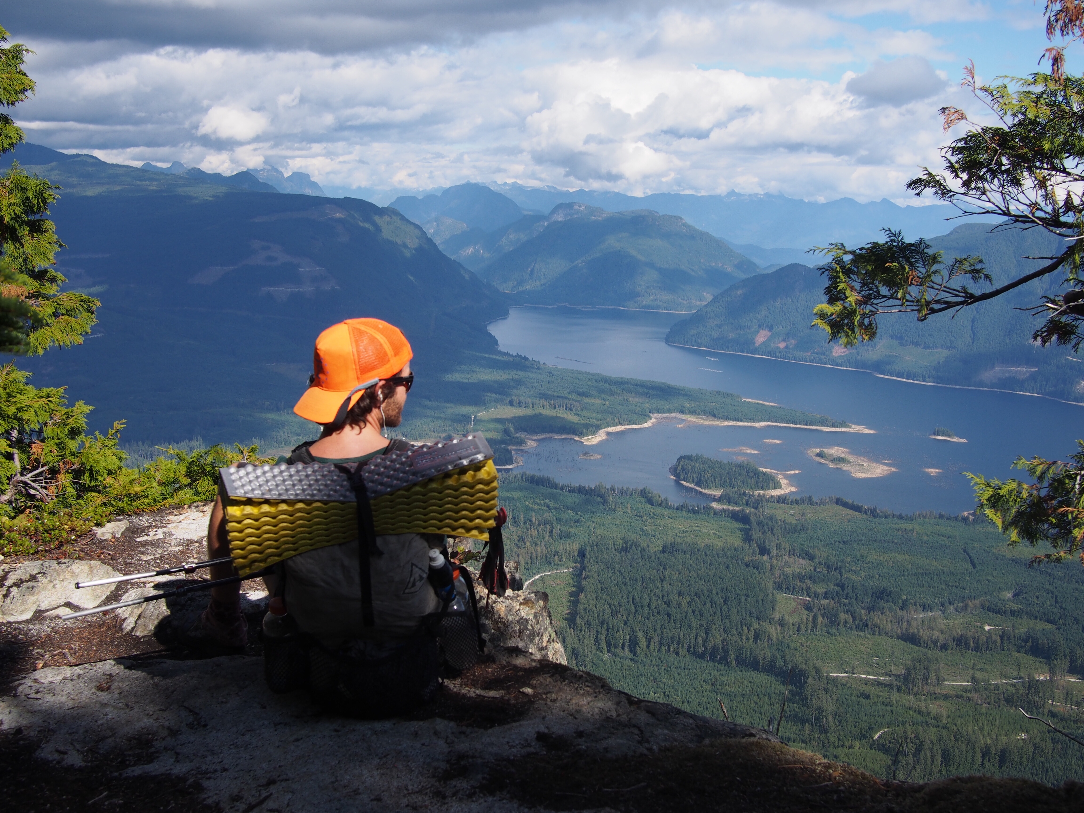
This afternoon we regained 3500 feet to Grosse Scheibegg Pass. On the way up we had the Eiger on our right hand side and then the Wetterhorn. I can’t really describe just how massive these mountains feel, you just have to see for yourself. We walked about an hour on the other side of the pass, sometimes on road, and sometimes on trail until we found a spot to camp. I’m not sure if this is exactly within the rules but there were established campsites next to a river across from this huge granite wall of a mountain. It’s late, we’ll leave no trace, and get out of here early in the morning. This is one of the most beautiful spots I’ve ever camped and neither one of us is passing it up in order to pay to camp at Disneyland in the next town.
Day 5…6/17/25…20 miles…6250 ft gain…Grosse Scheibegg Pass to Tannensee
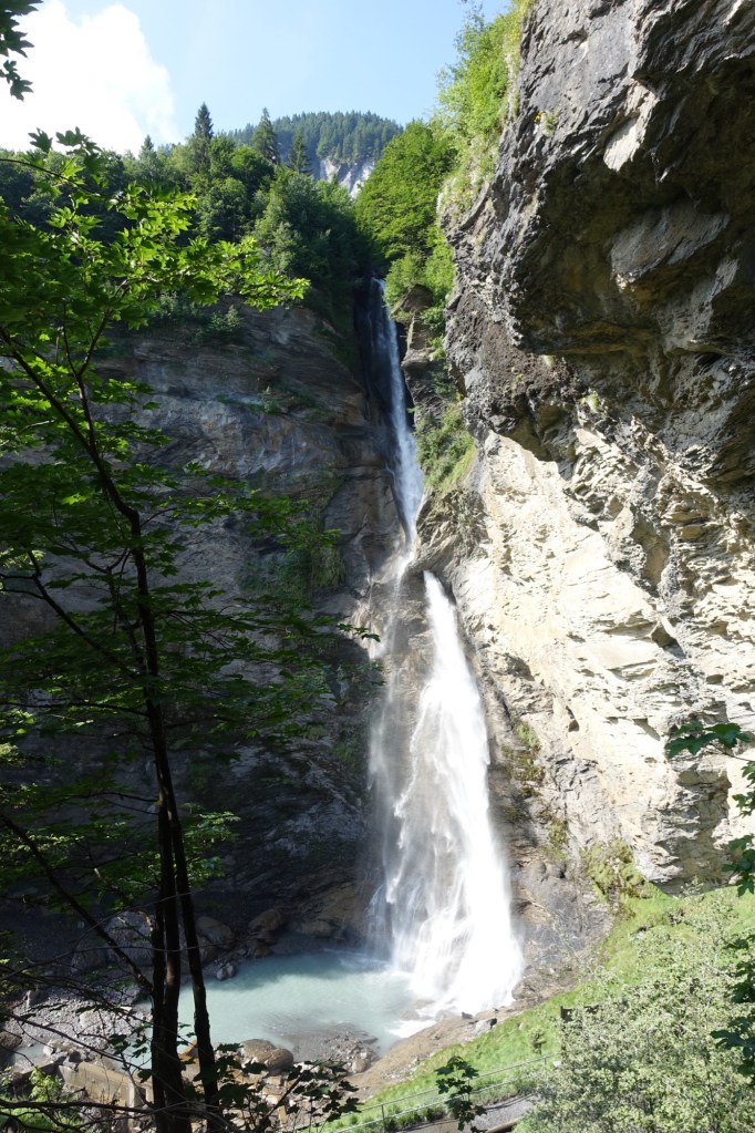
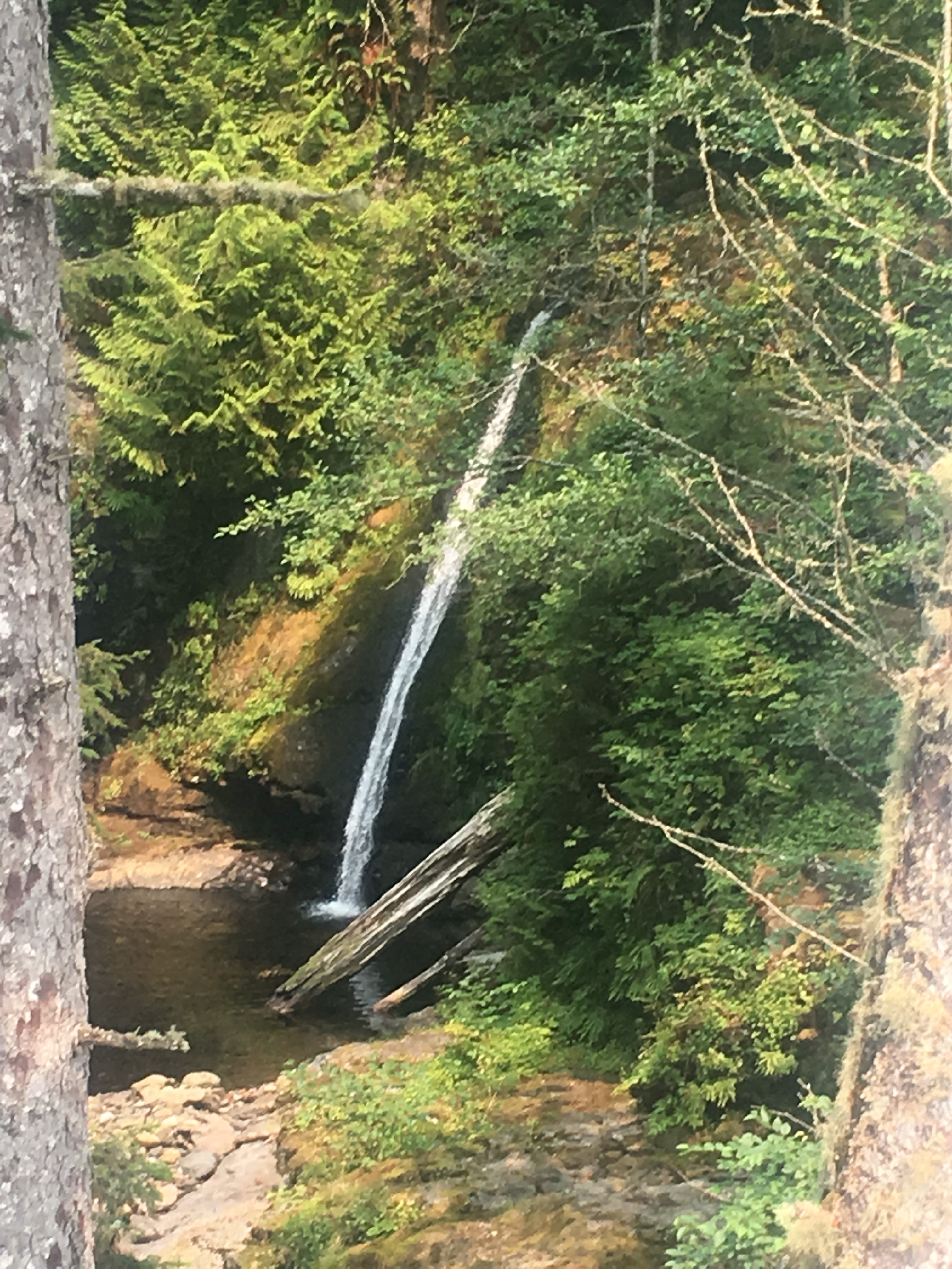
From our beautiful campsite we had a nice pleasant walk downhill towards a town. We walked by a super tall waterfall Reichenbach falls, famous from a Sherlock Holmes’ story. QB thought it was from James Bond, which it may also be from, but it’s definitely from Sherlock Holmes. I can’t believe she would get those 2 characters confused.
We got into Meiringen and stopped at the Coop for our lunch and picked up a dinner. A loaf of bread, wedge of cheese, cured meats, and butter and that’s been our standard lunch and dinner. For dinner we’ll also pack out some instant noodles or something. Trying to charge our phones and batteries has been a bit tricky. The Swiss definitely aren’t giving electricity away. We really had to look around and when we did find an outlet we plugged some stuff in and camped out on the sidewalk eating or lunch.
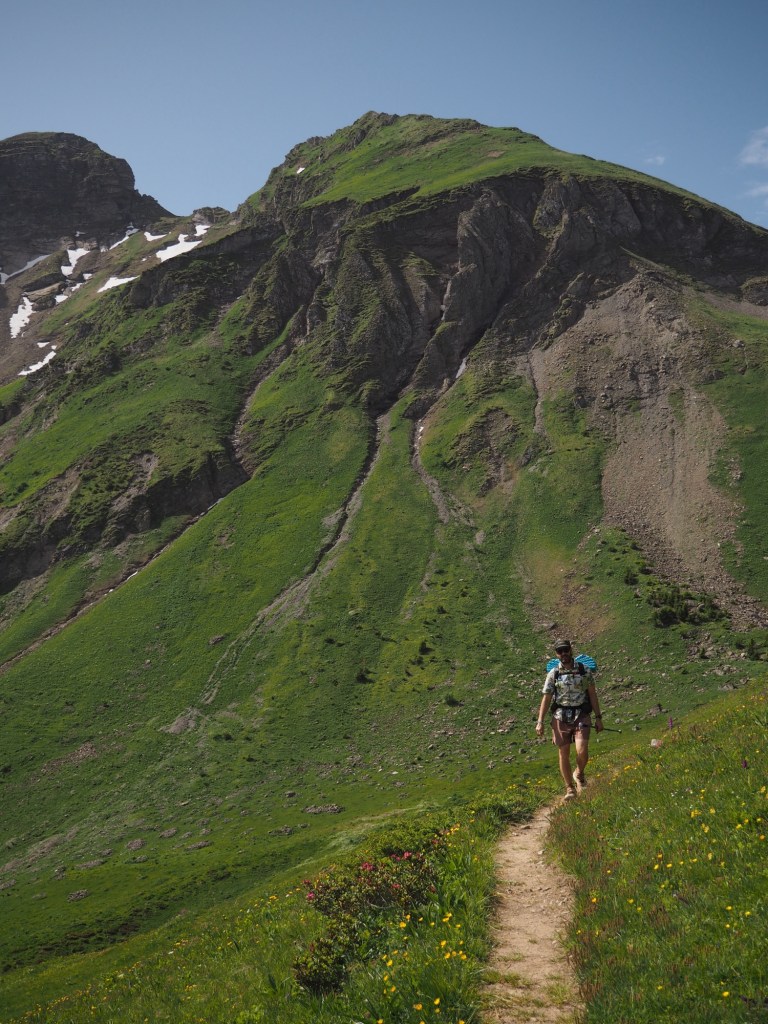
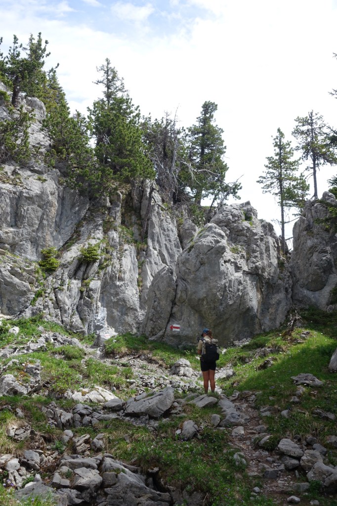
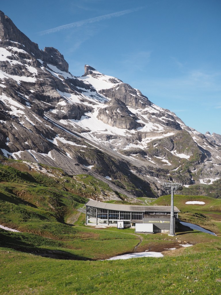
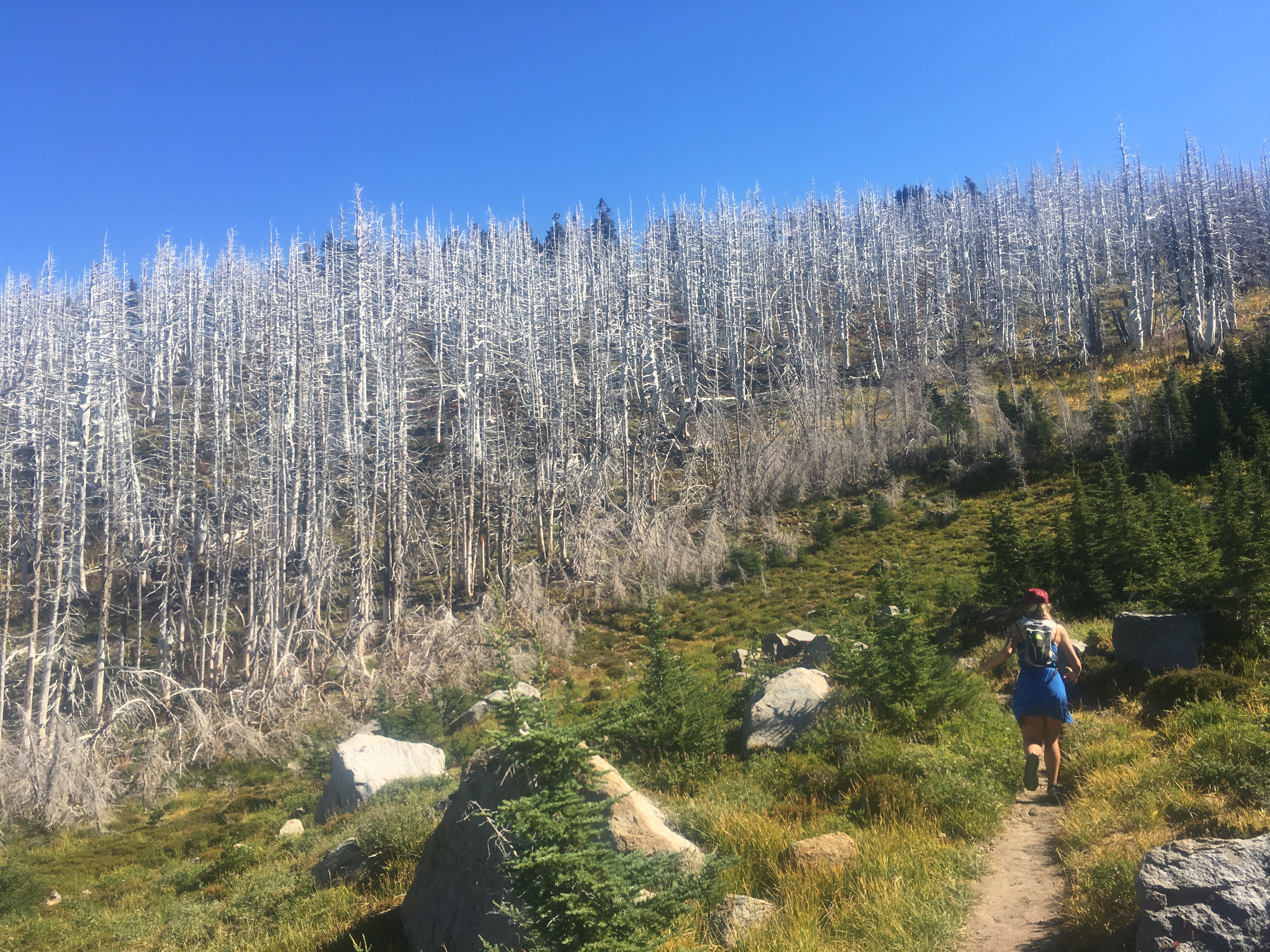
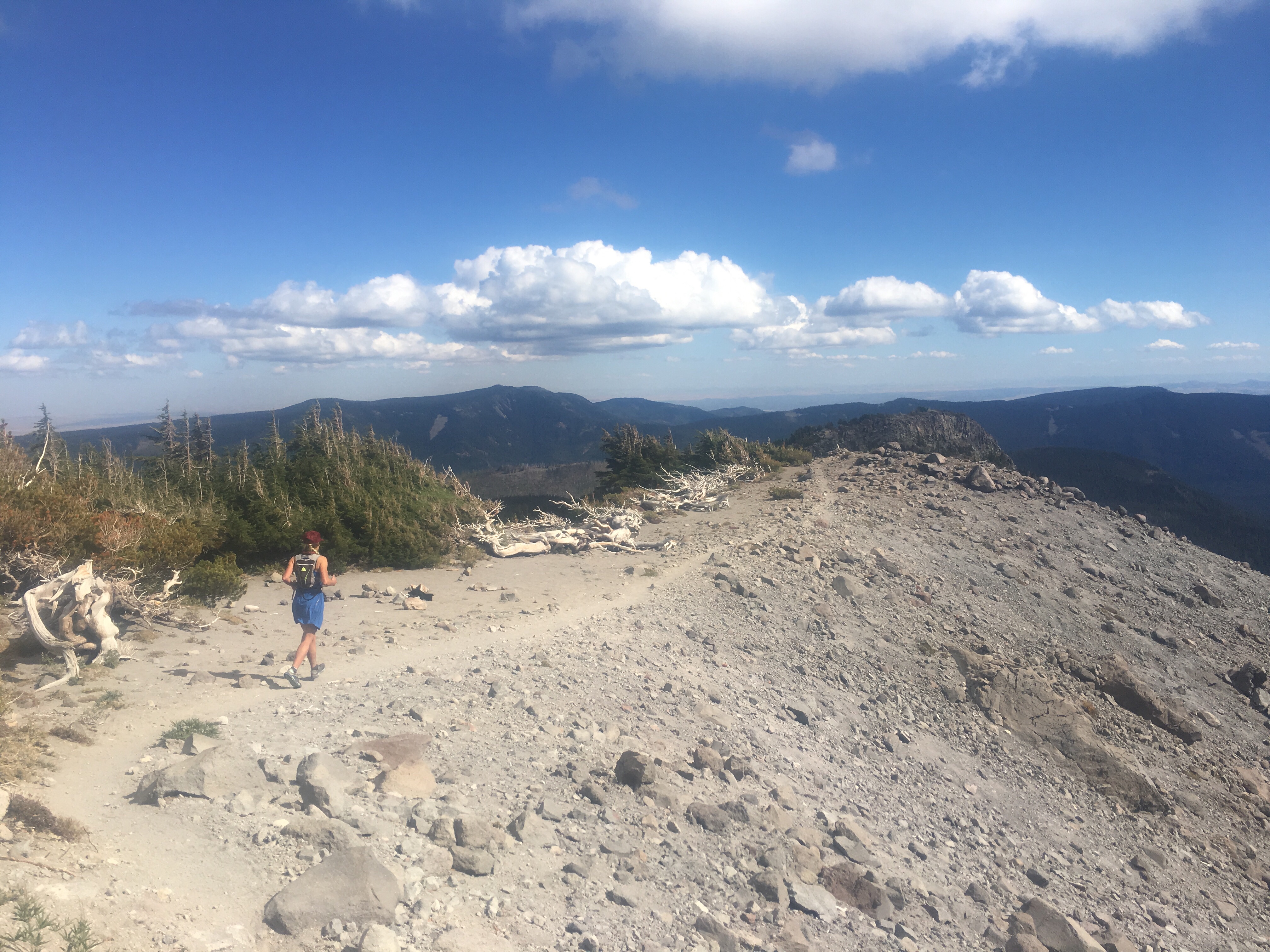
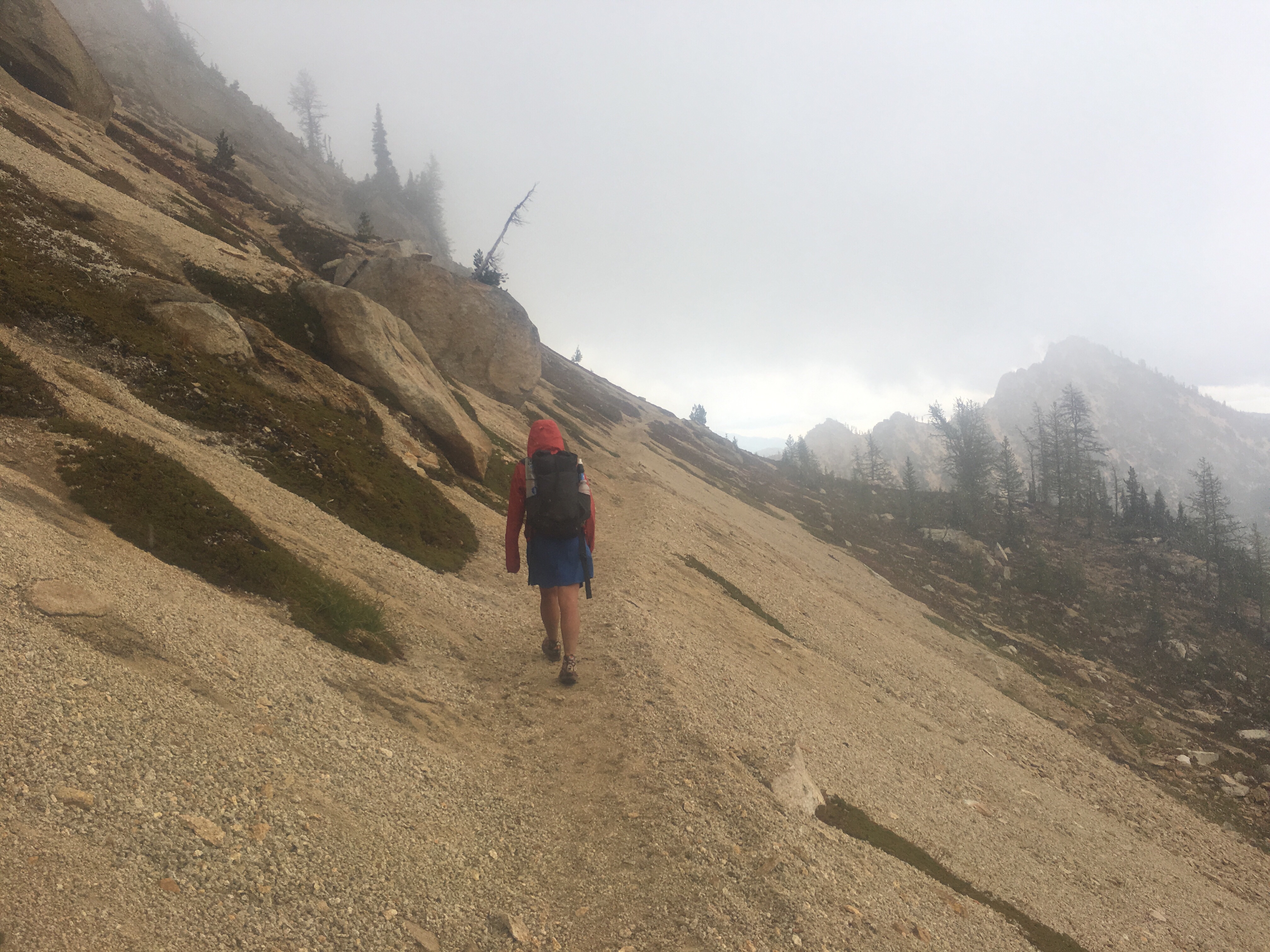
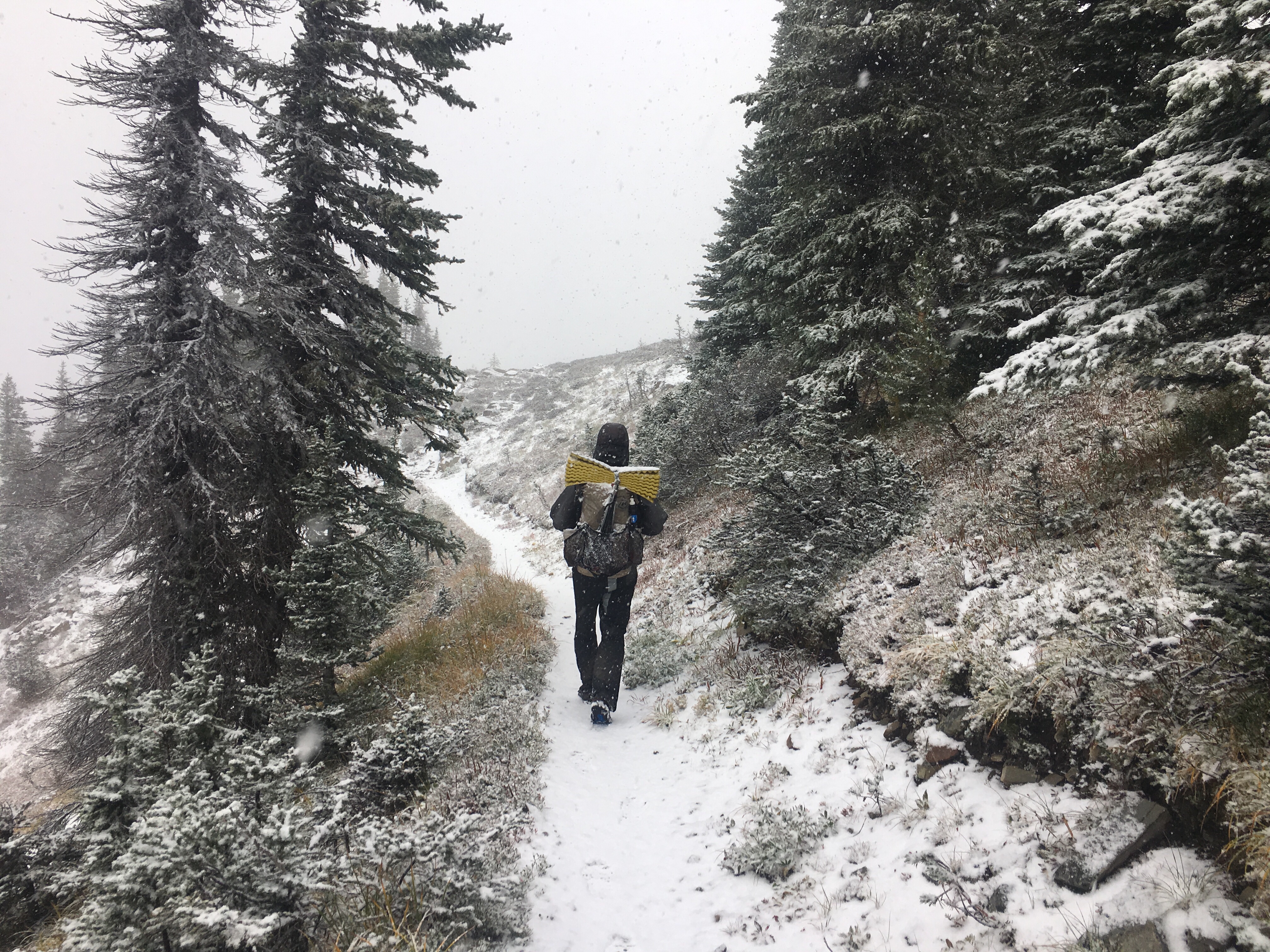
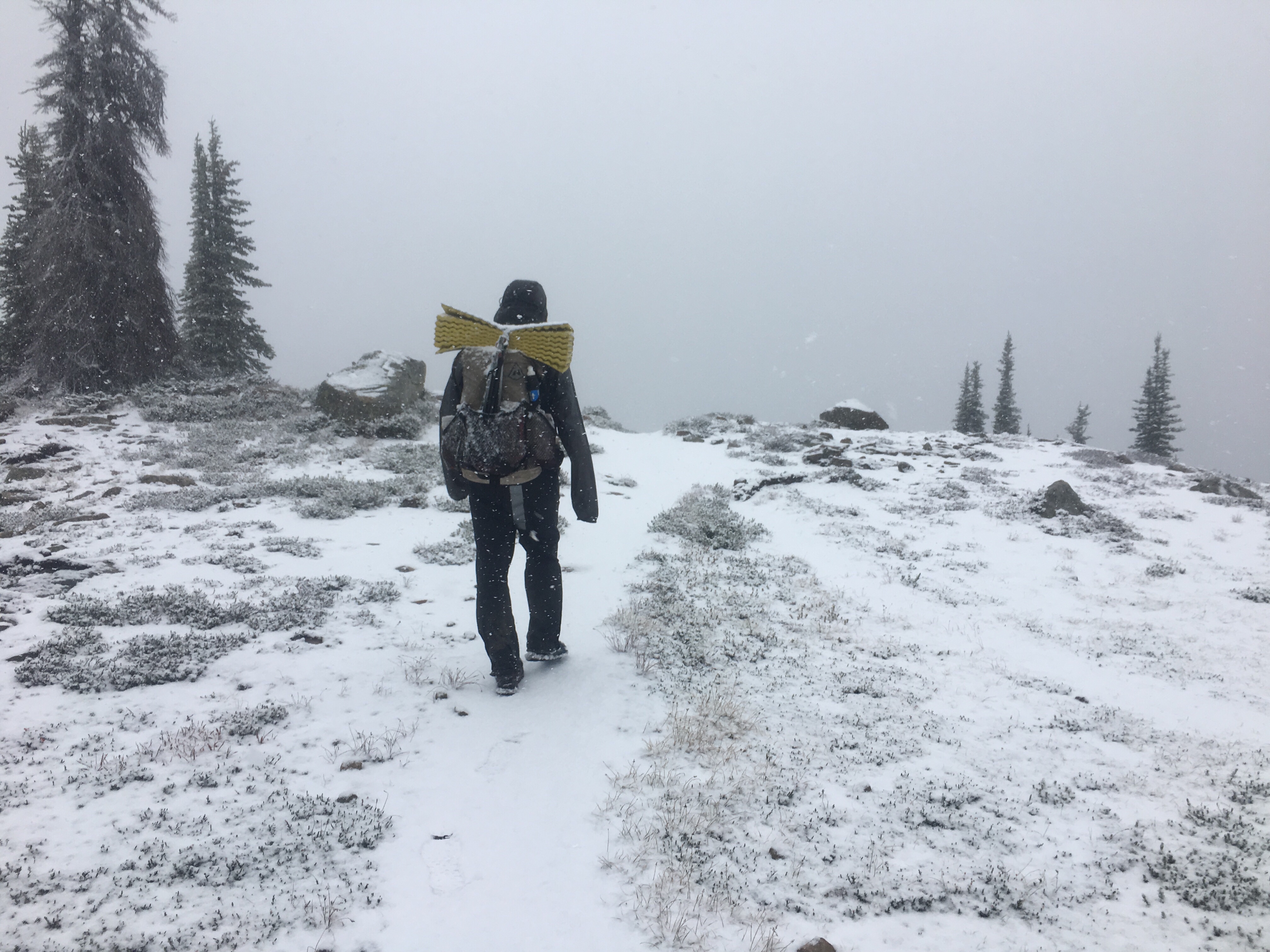
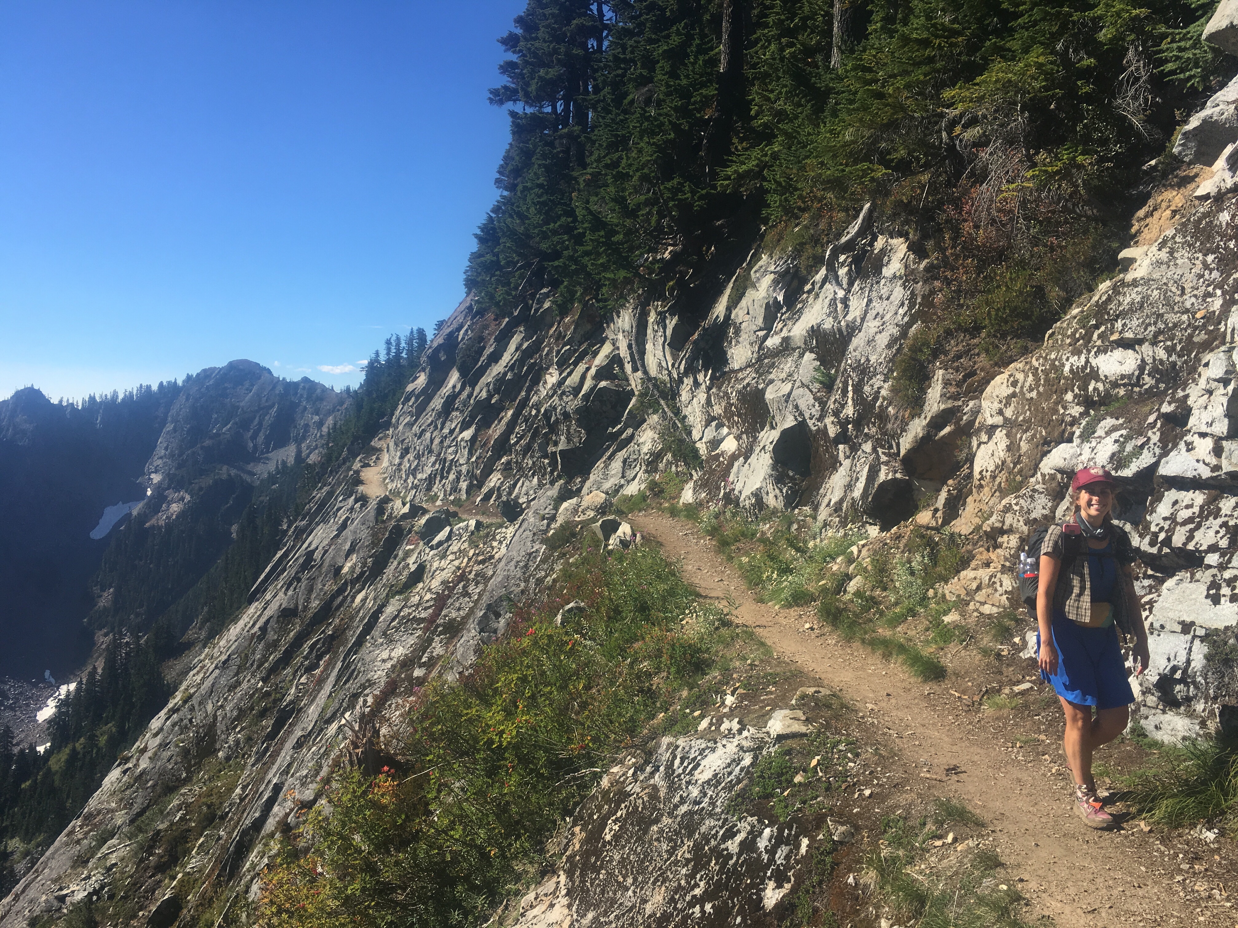
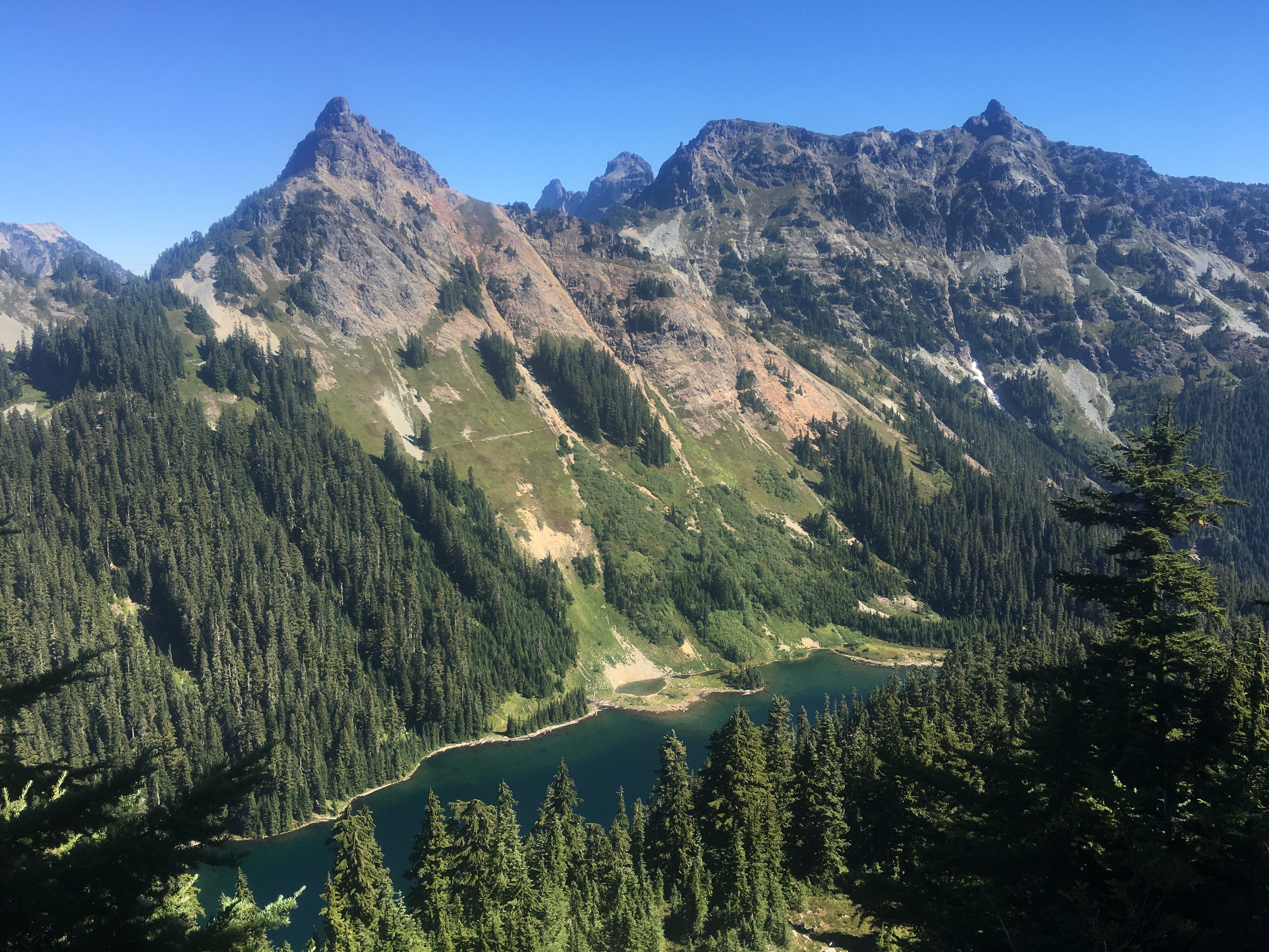
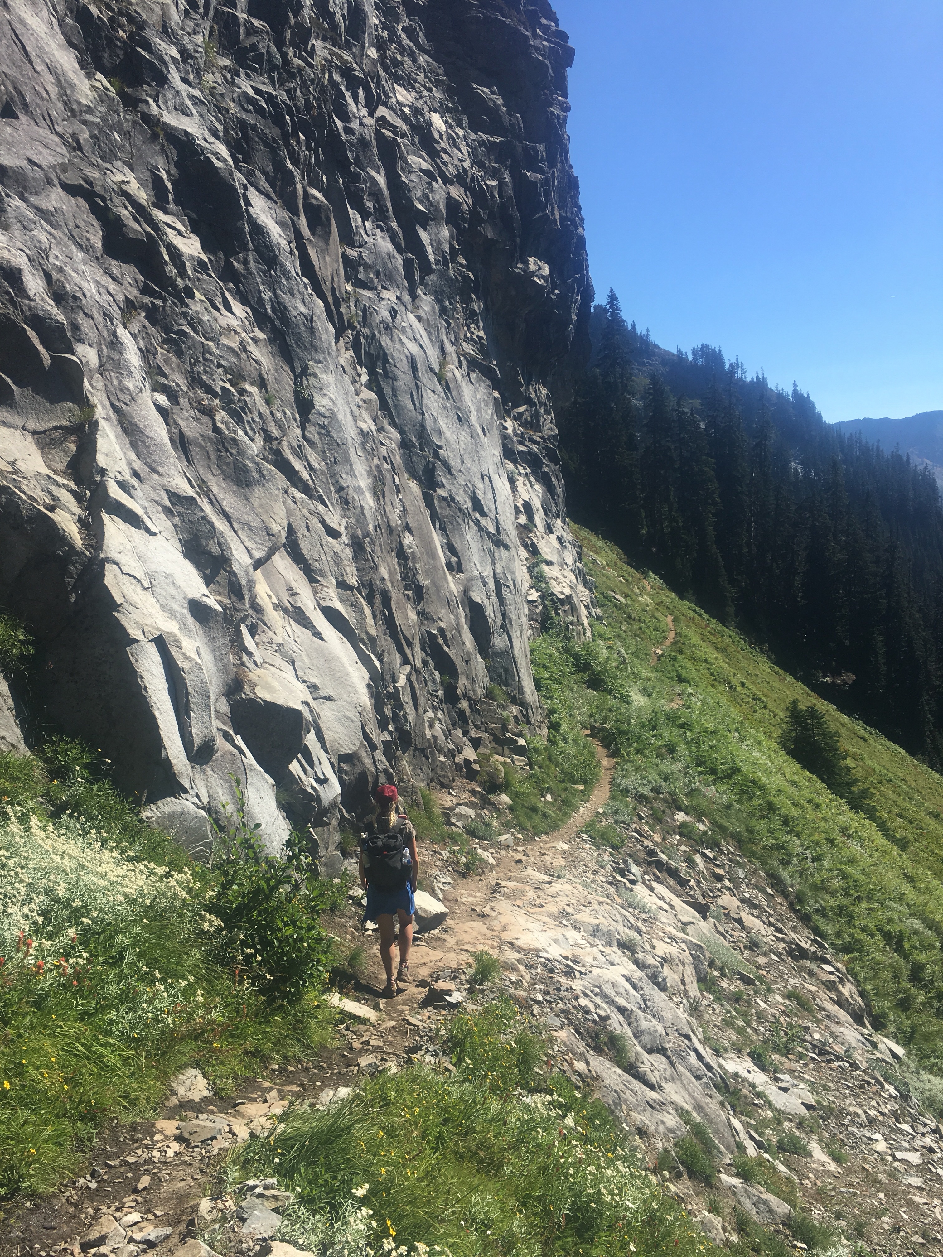
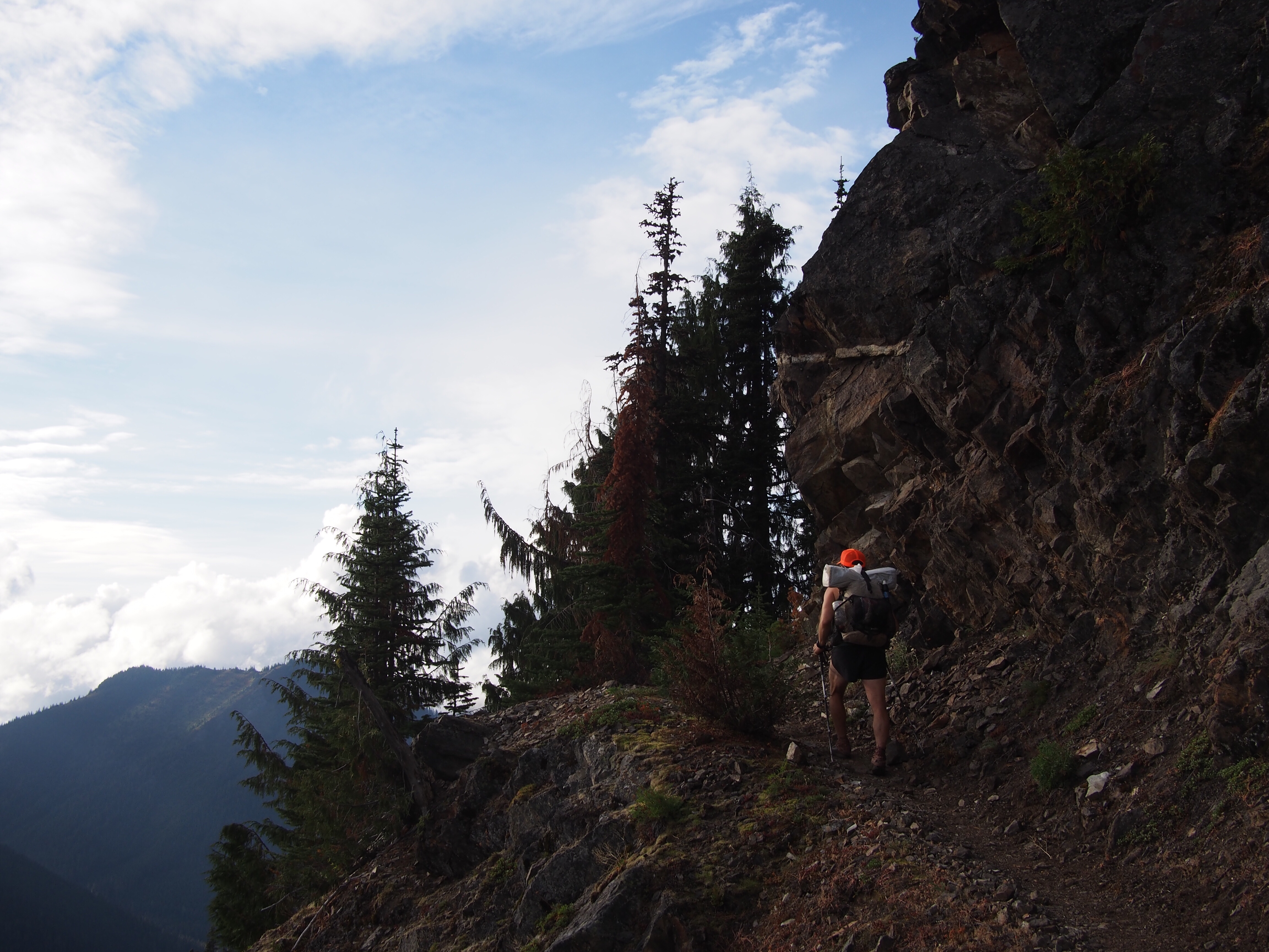
All charged up we had a 5000 foot climb over about 7 miles, not unusual on this trail. When we got to the top the trail contoured along a super steep slope for about a mile before turning into a more comfortable ridge walk. The contouring was more exposed than I felt like doing today, and although the trail was mostly solid throughout, there were a couple spots where it was a bit dicey. I didn’t love it.
We did have incredible views all evening though. We’re way above treeline within a ski resort. There’s a handful of chairlifts on some steep terrain. No cows up here either. We put our tent down on a flat spot about a mile above the town of Tannensee.
Day 6…6/18/25…10.5 miles…1420 ft gain…Tannensee to Engelberg
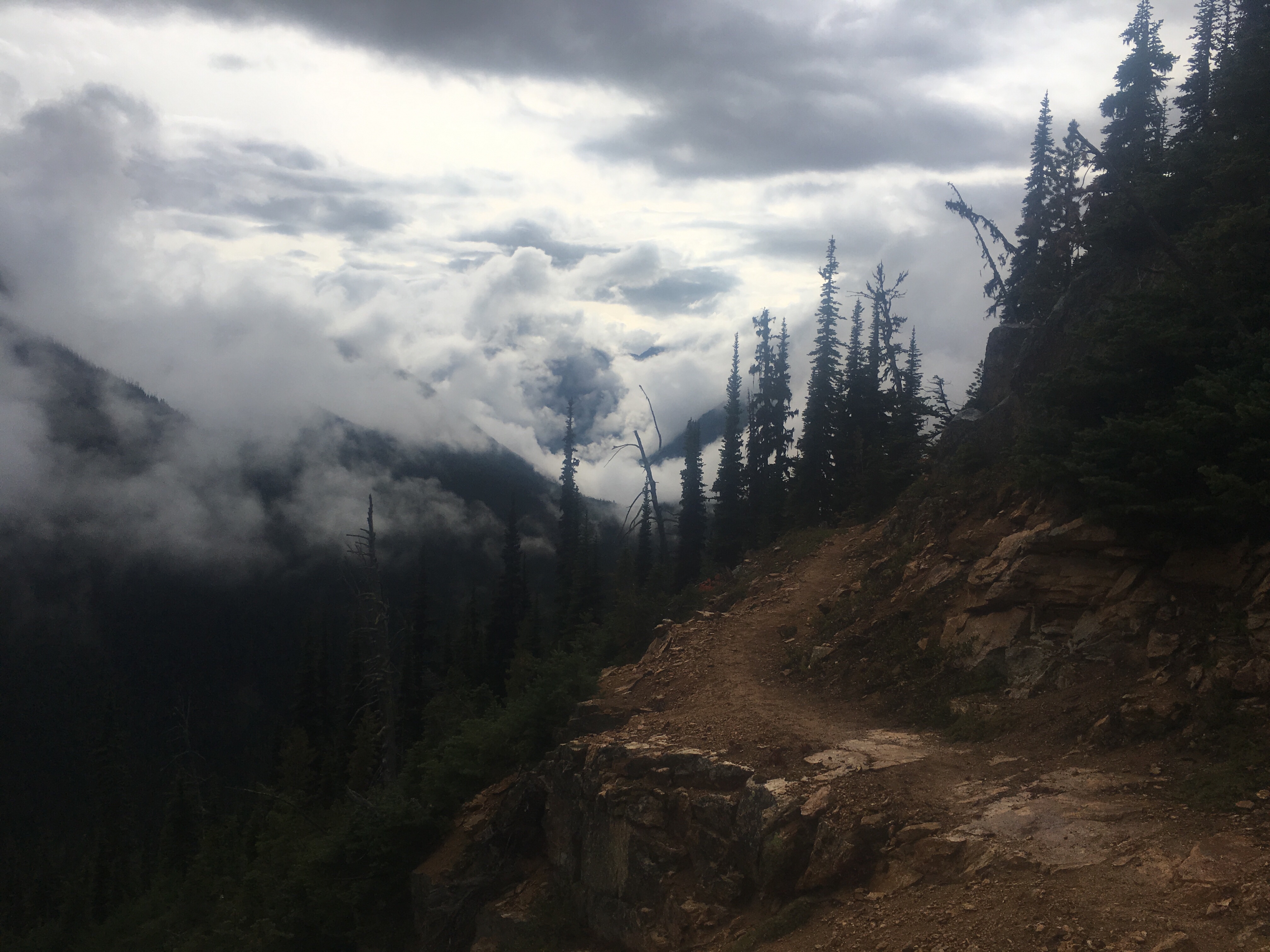
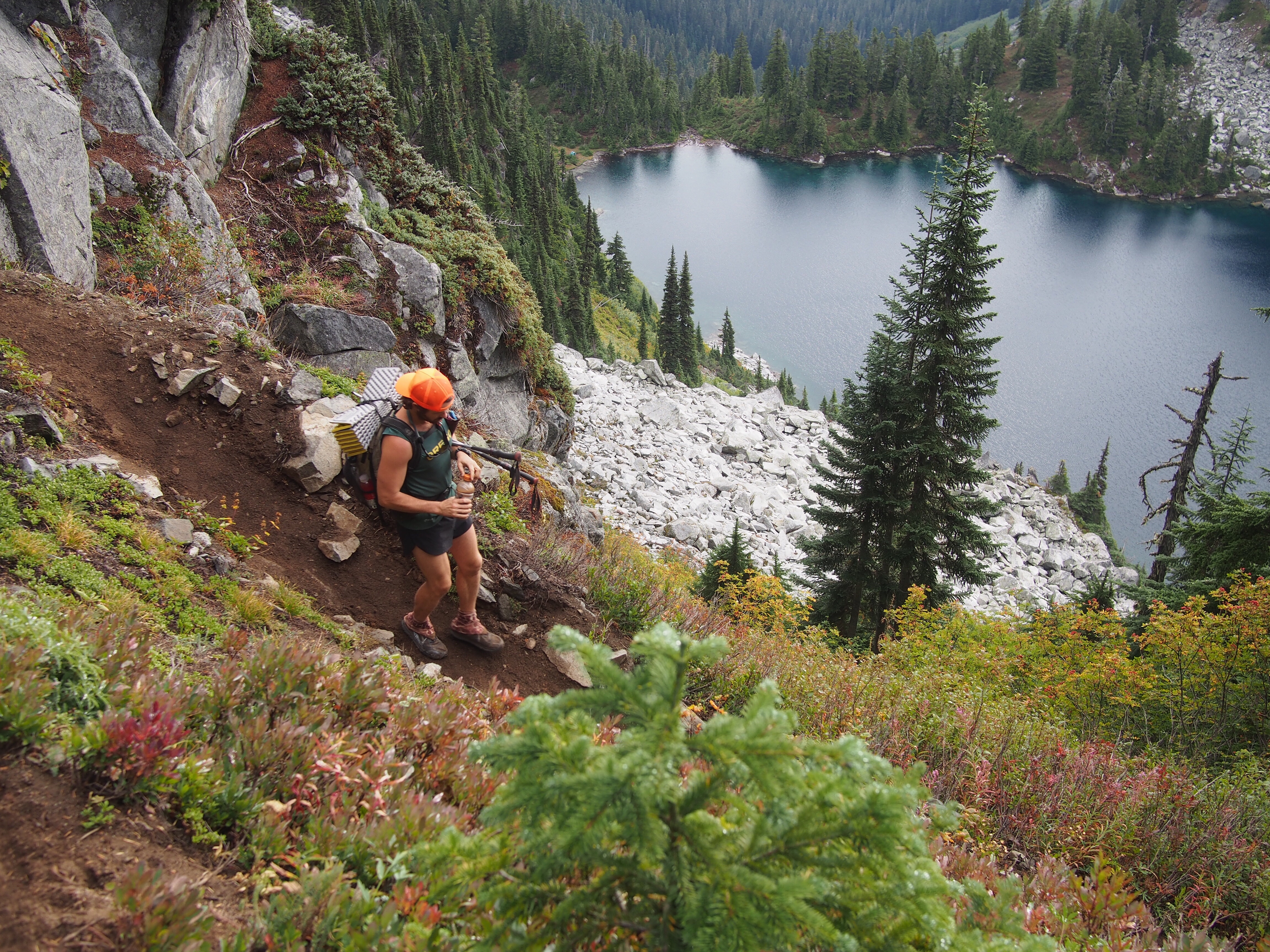
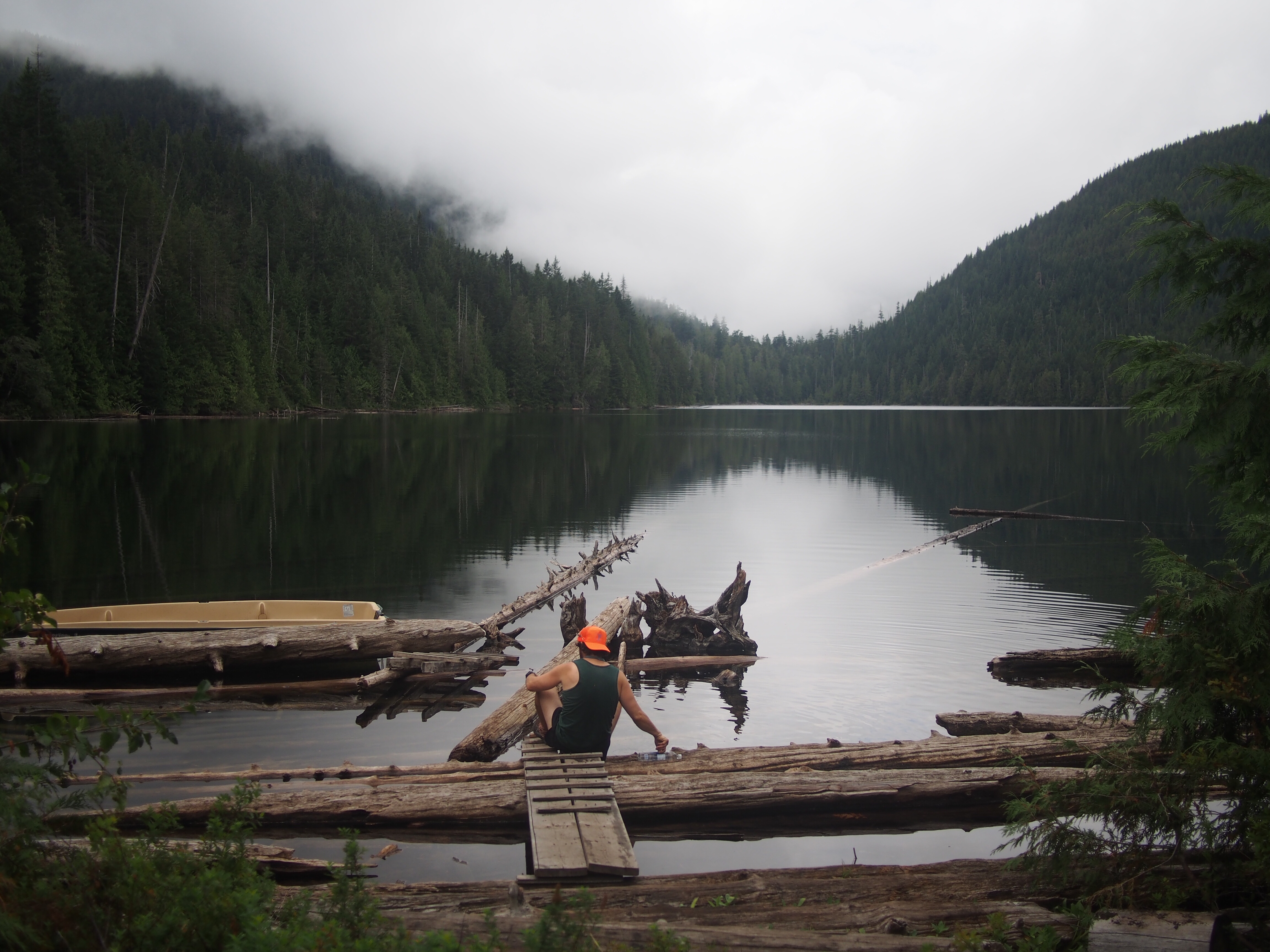
From our campsite we descended for a couple miles to the side of a lake. We then climbed over a thousand feet to the top of a chairlift and descended again, this time straight down 4000+ feet underneath a tram to the town of Engelberg.
The hiking here has been straight up thousands of feet, then straight down thousands of feet. Usually underneath a ski lift that’s operational for sight seers and sometimes mountain bikers. Or there’s a train to the top or we’re on roads with a little bit of trails. The last couple nights we’ve been able to wild camp but it feels like we’re breaking the rules or something. Encroaching on someone’s cow territory. The towns here are fancy ski towns. Yes, the views are stunning, but I think I’ve seen enough.

Our original plan was to reach Lichtenstein, which would be about 4 more days but I’m not really feeling it. I got a good taste of what Switzerland is like and I’d like to go see some other parts of Europe.
After lunch we walked about a mile and then I told QB I’d rather not continue. We discussed our options and ended up finding a campground in town where we showered, did laundry and crashed out for the night. On to the next thing.


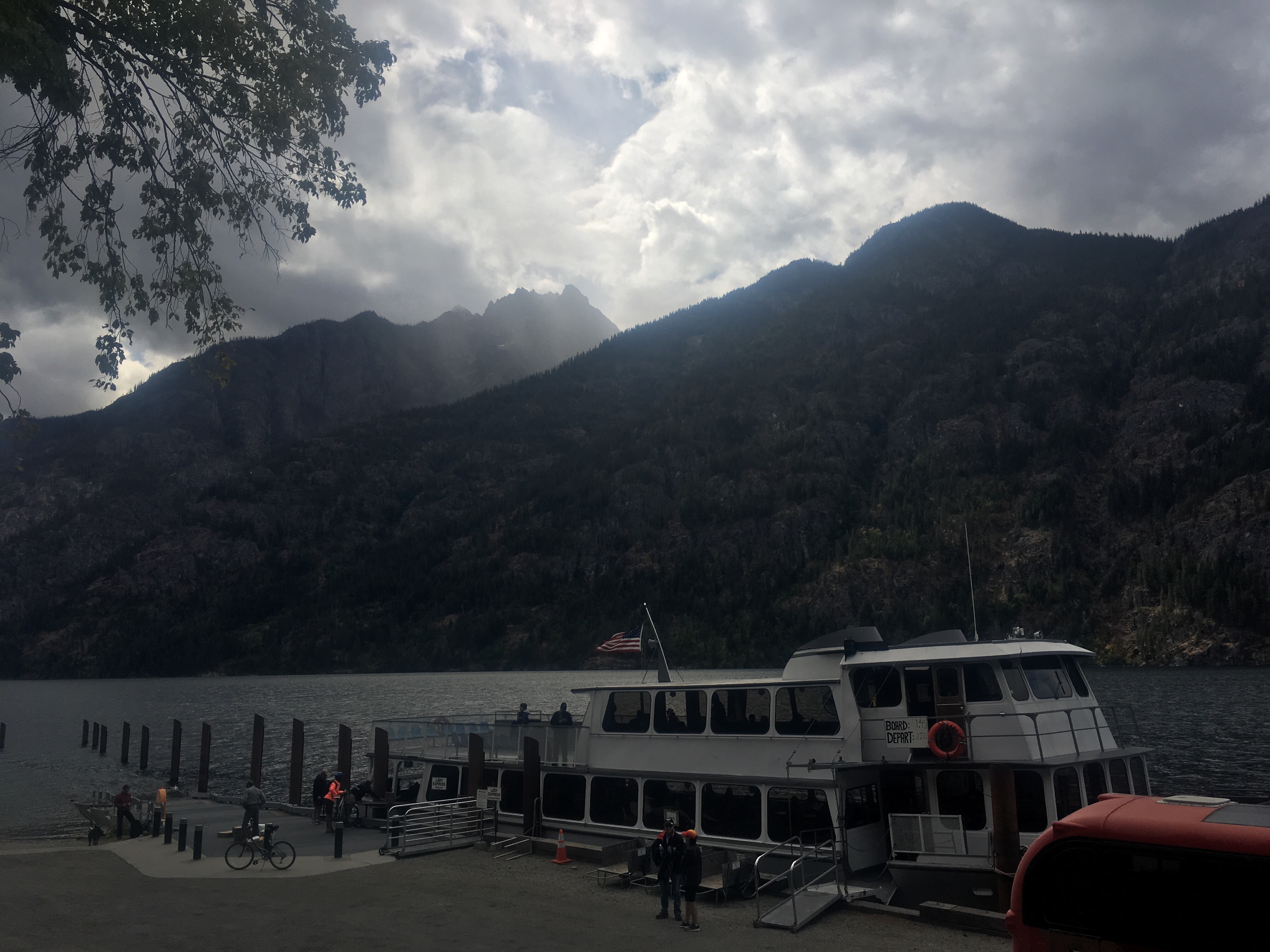
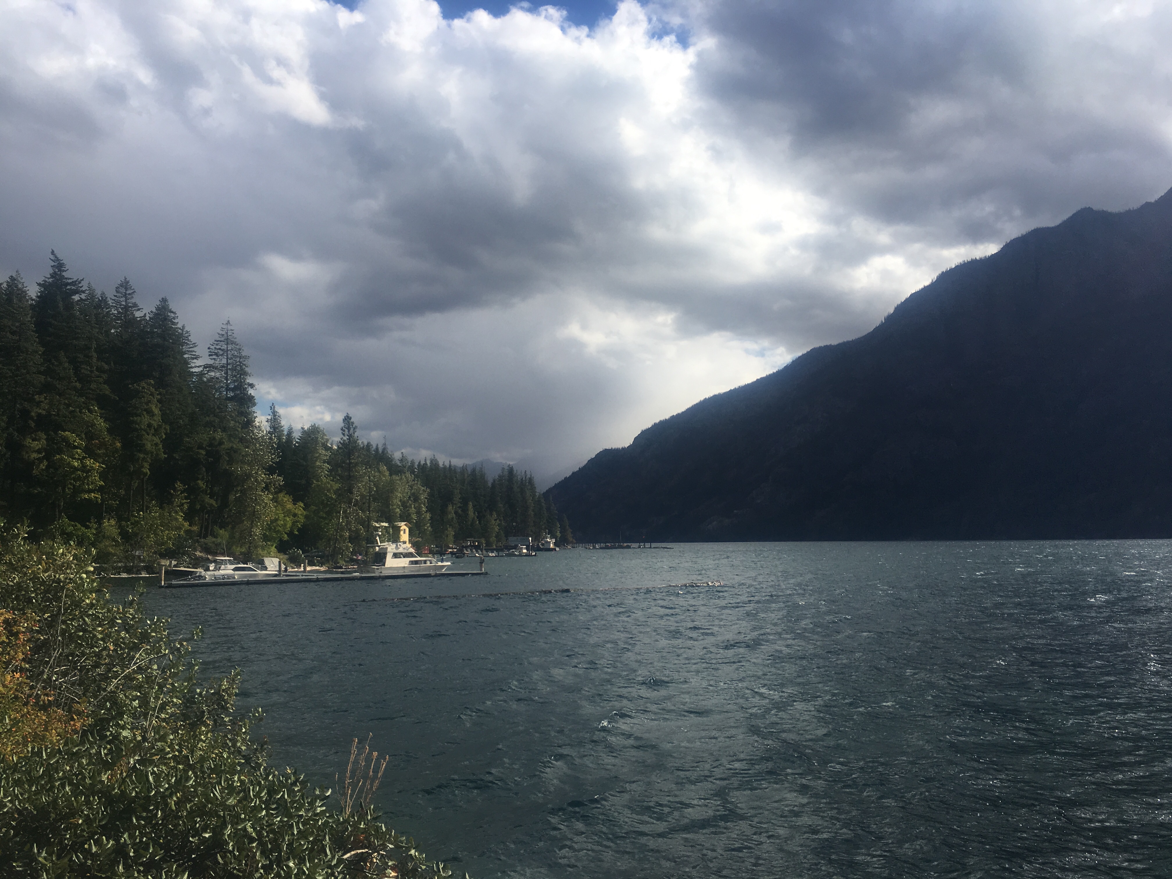
 Lake Chelan is a narrow and extremely long and deep lake surrounded by mountains. Someone told me that it’s a fjord but I’m not exactly sure what that means. Stehekin is a tiny town that sits at the top of the lake and is usually the last stop for PCT’ers. It’s a really cool little place, inaccessible by road, it’s a very remote little vacation town for some people. Or I guess people live here year round too.


 feel free to follow this blog or follow me on insta @endlesspsummer and Sara(QB) at @sarahikes


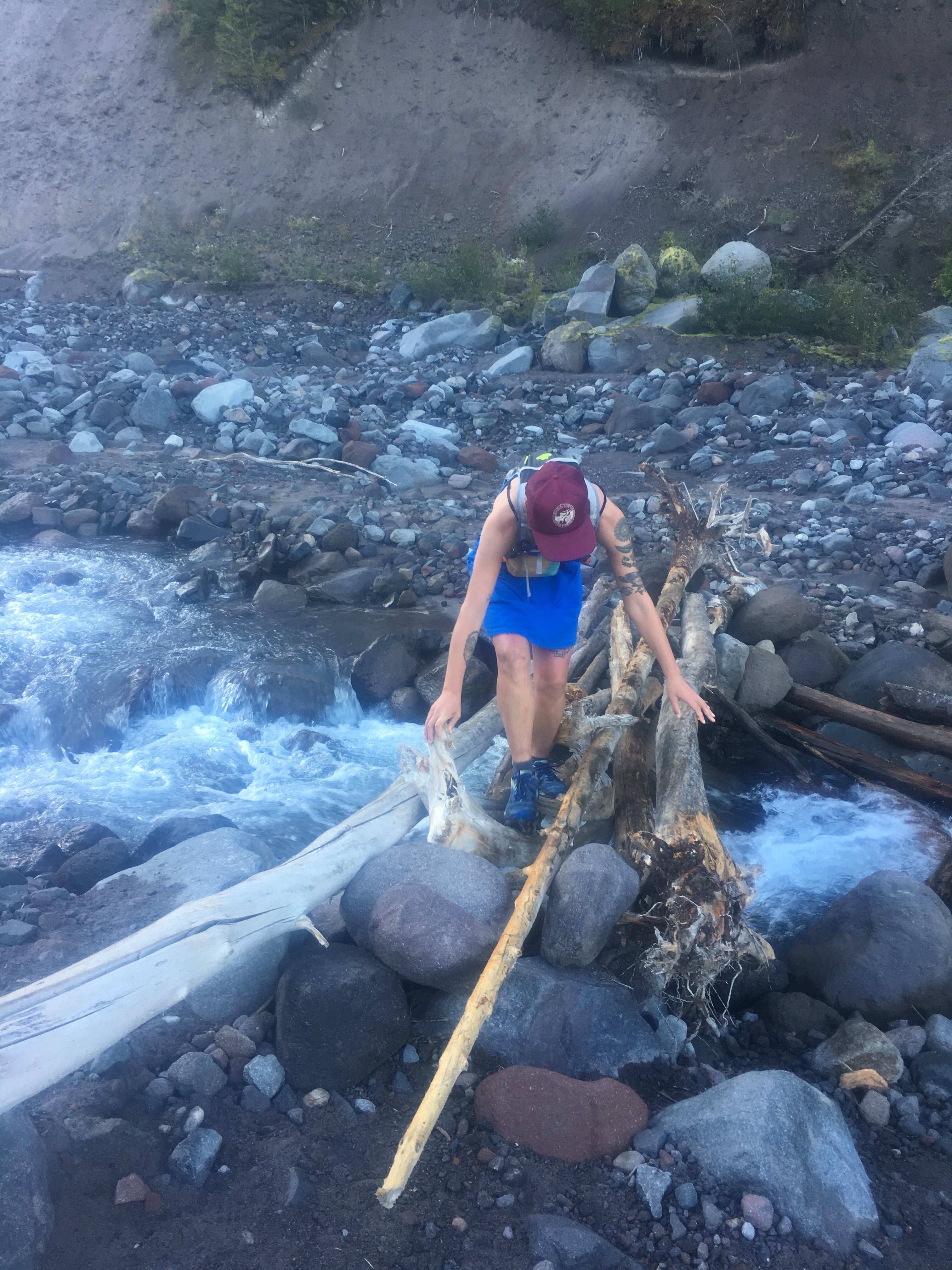
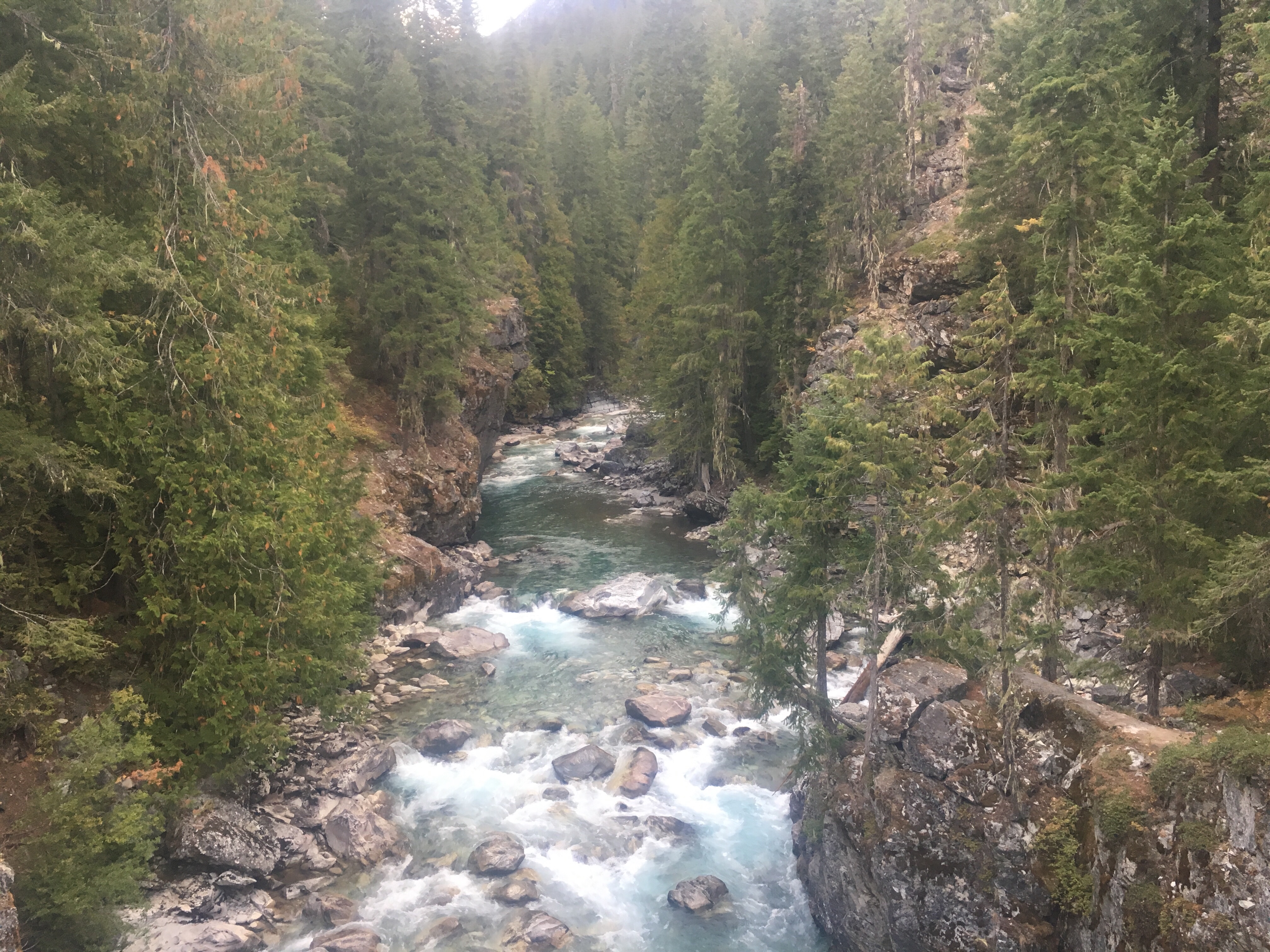
 In the late afternoon we dropped a few thousand feet to a valley and along the way I took a quick dip in a swimming hole at the bottom of a waterfall. We crossed a river and then climbed big long switchbacks that brought us way up and out of the valley. With about 2 miles to the next campsite a cold rain had moved in with a crack of thunder and a flash of lightning. Luckily that was it for the T&L and the rain just gave me good reason to pick up speed for the rest of the day. We found a sweet campsite up high next to a little alpine lake.
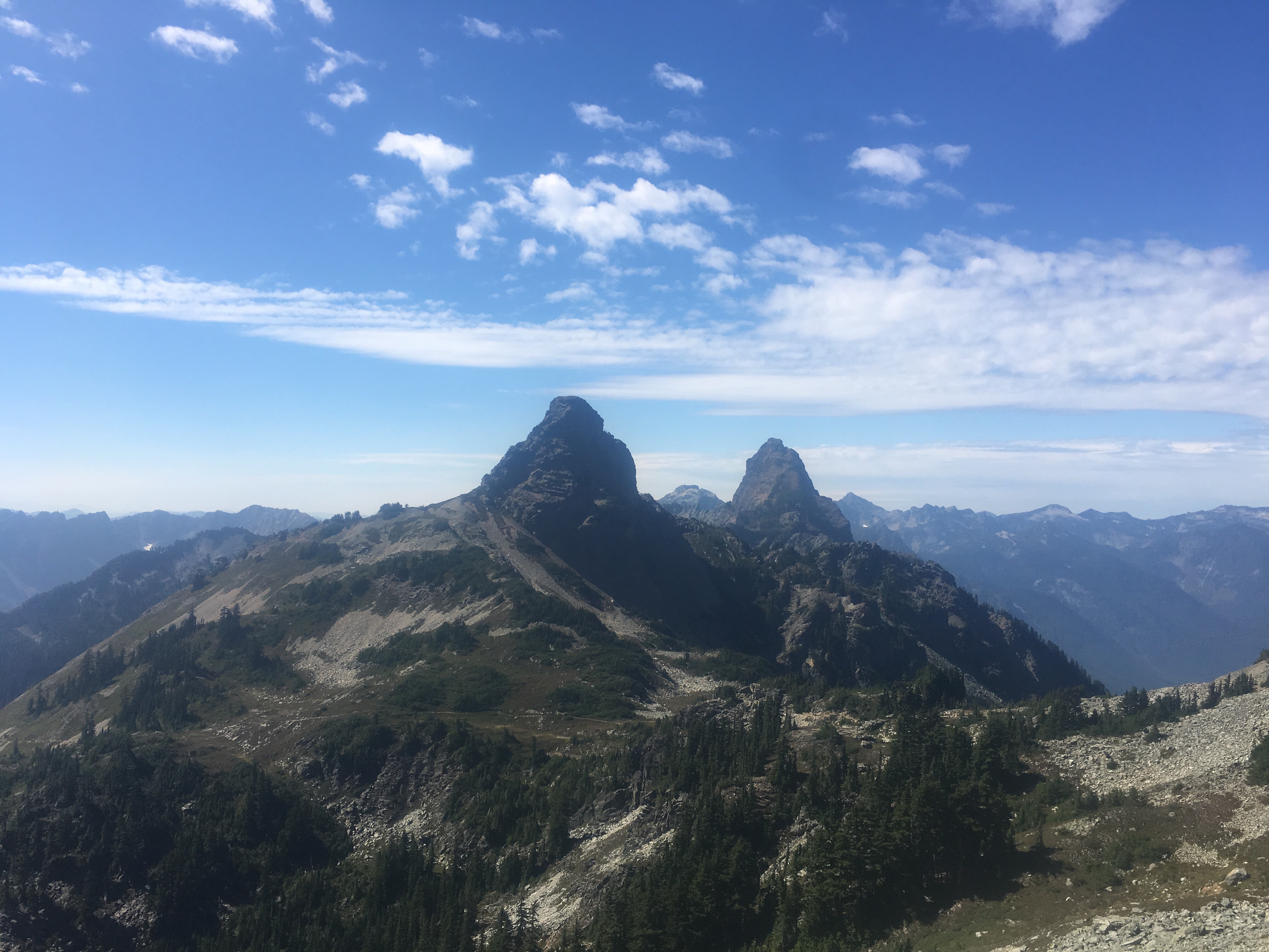


 feel free to follow this blog or follow me on insta @endlesspsummer and Sara @sarahikes


 Feel free to follow me on insta for more pictures @endlesspsummer and Sara or QB @sarahikes

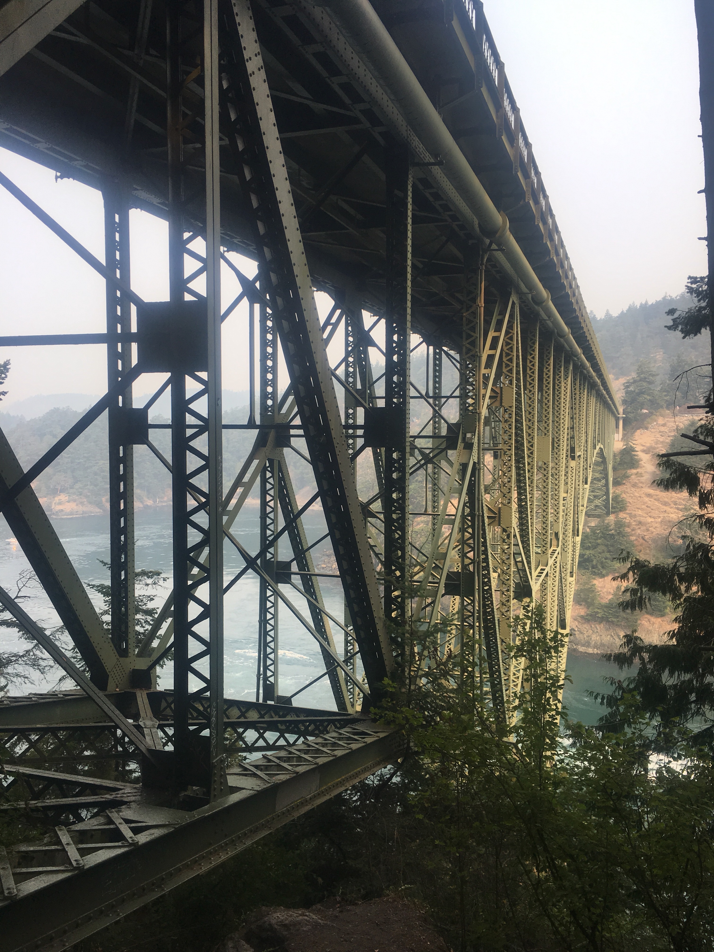
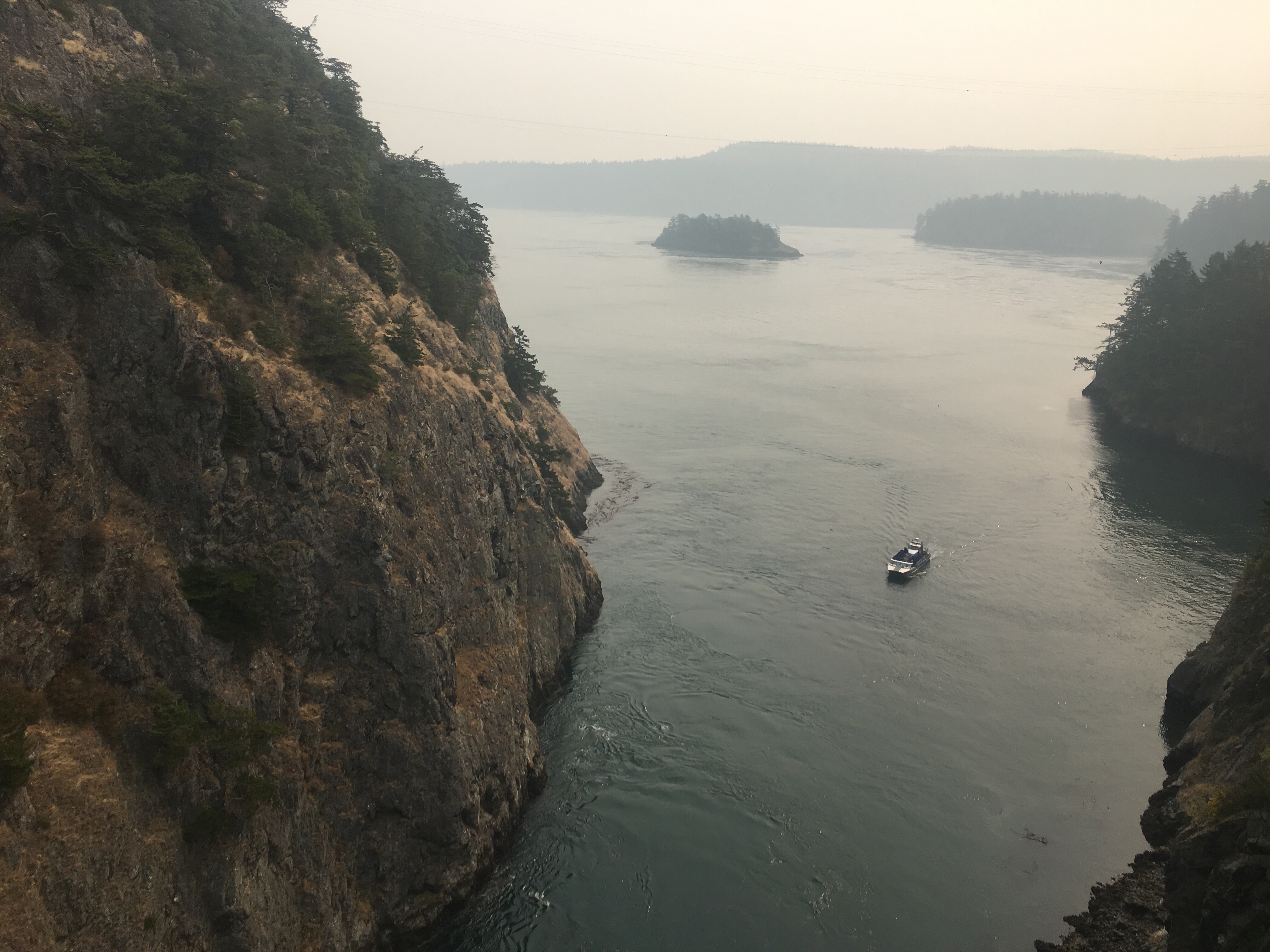
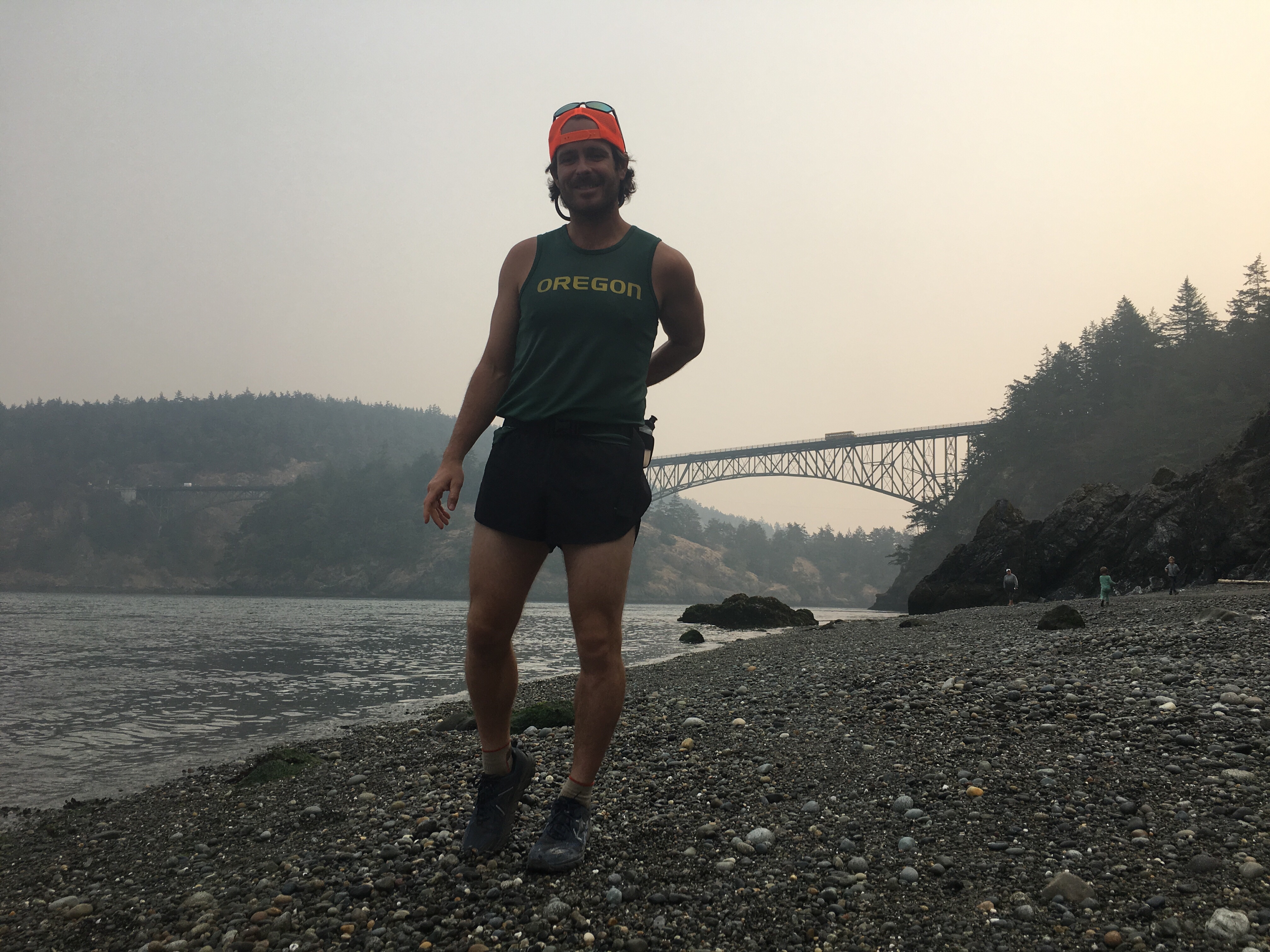
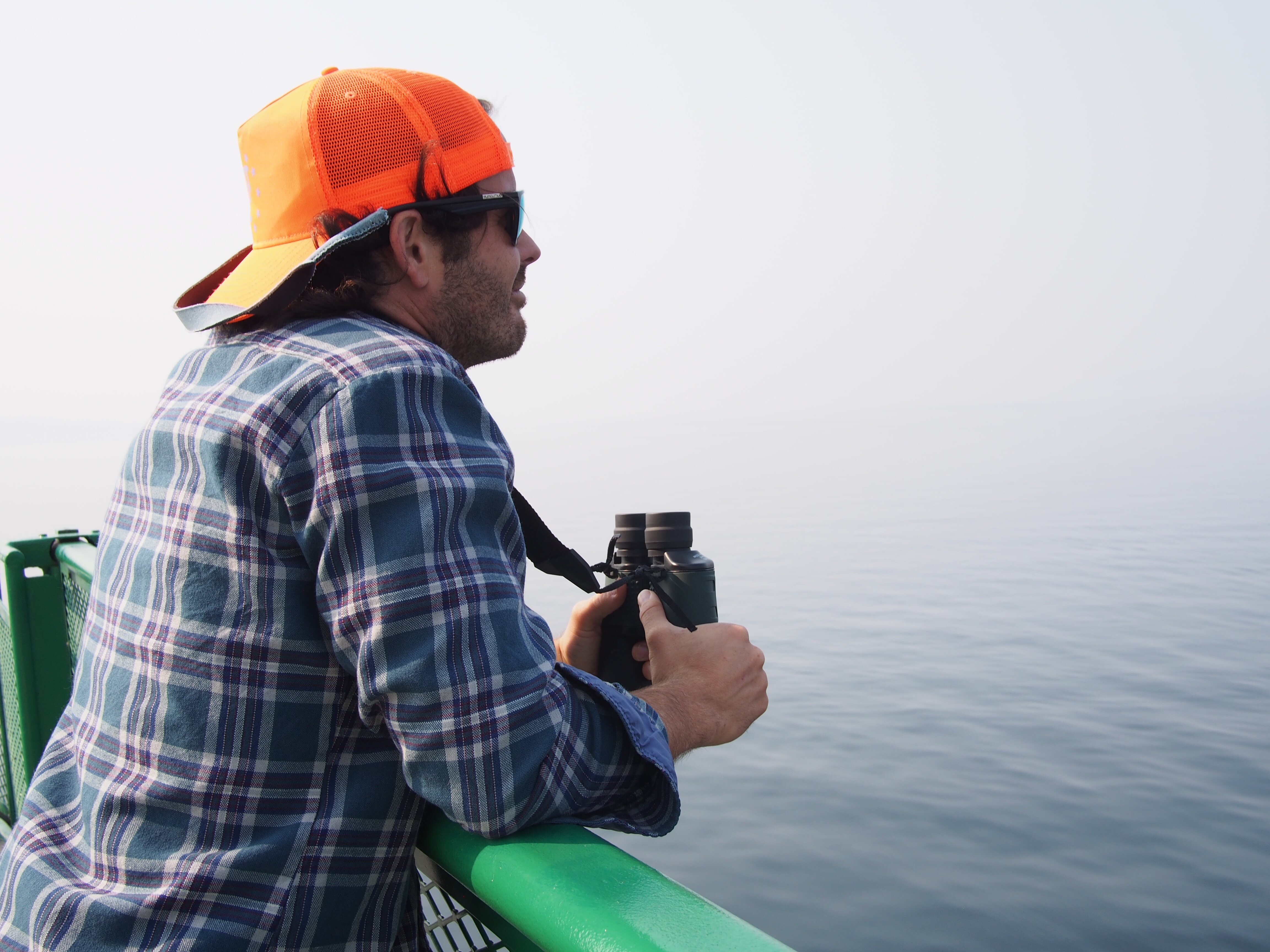
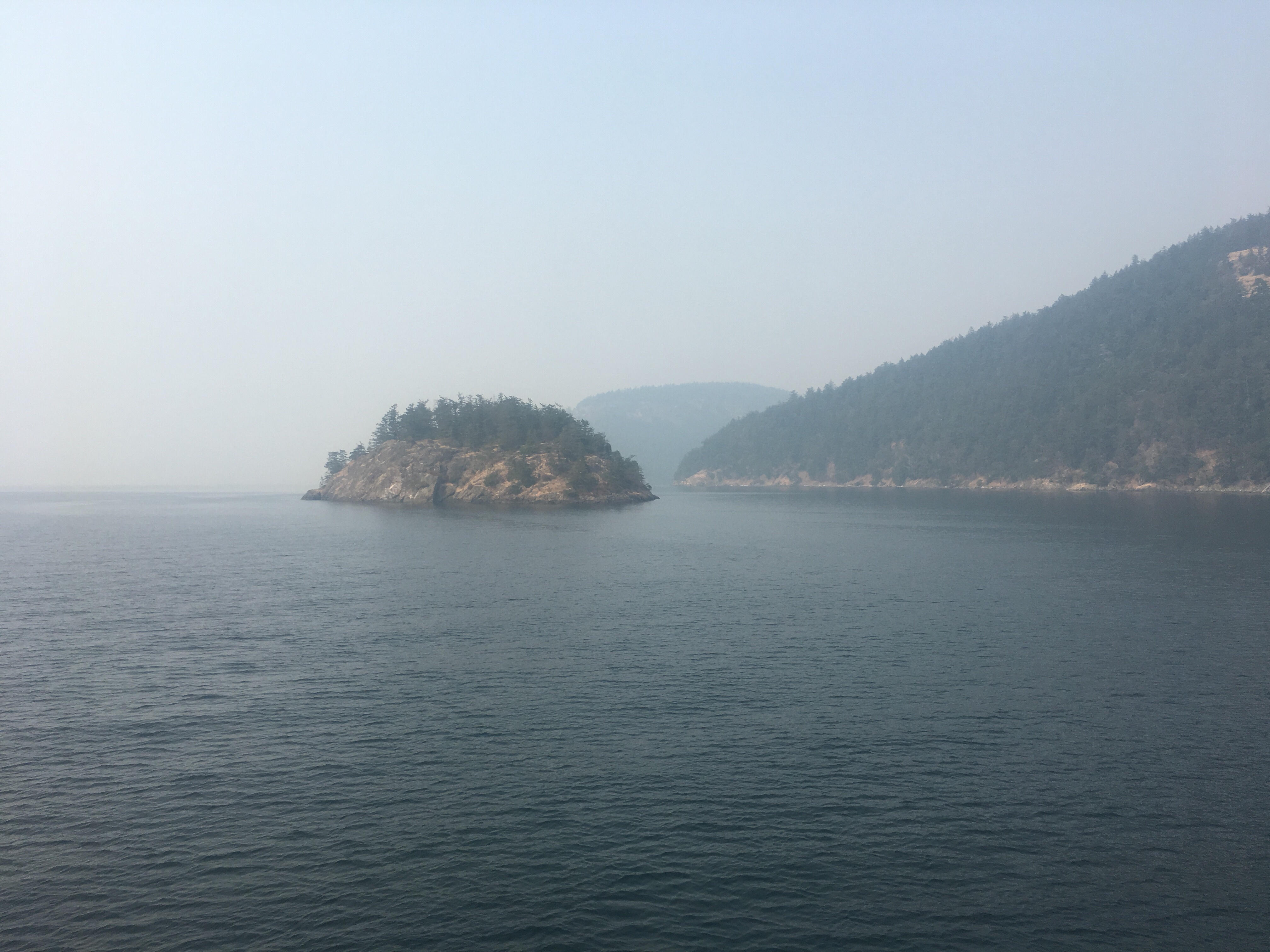
 We got lunch in Anacortes and waited in line for the international ferry. The boat ride through the San Juan Islands was enjoyable. The whole time I stood on watch with my bino’s for orcas and for the first time ever I saw not one but two, plus a few porpoises.
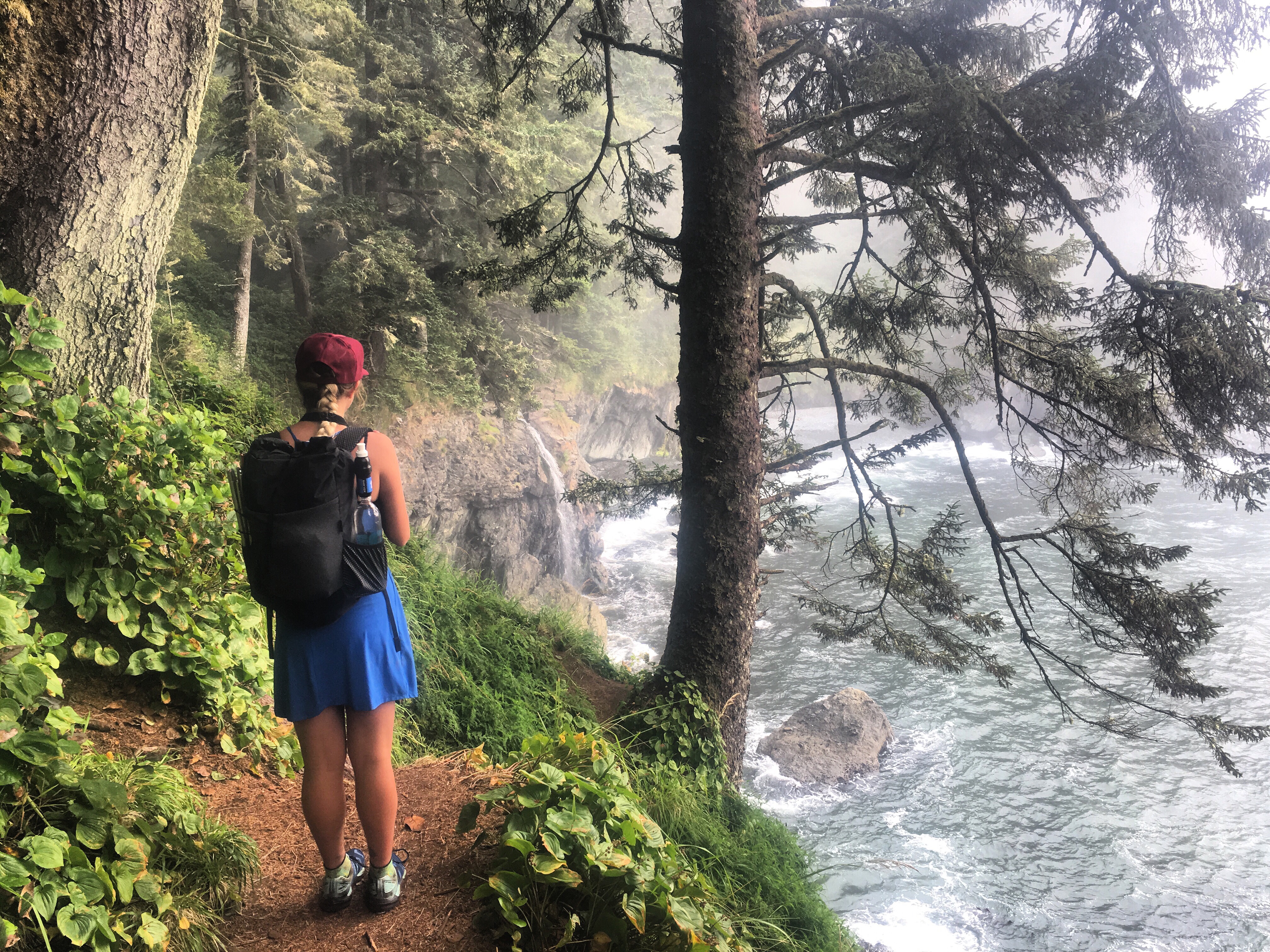
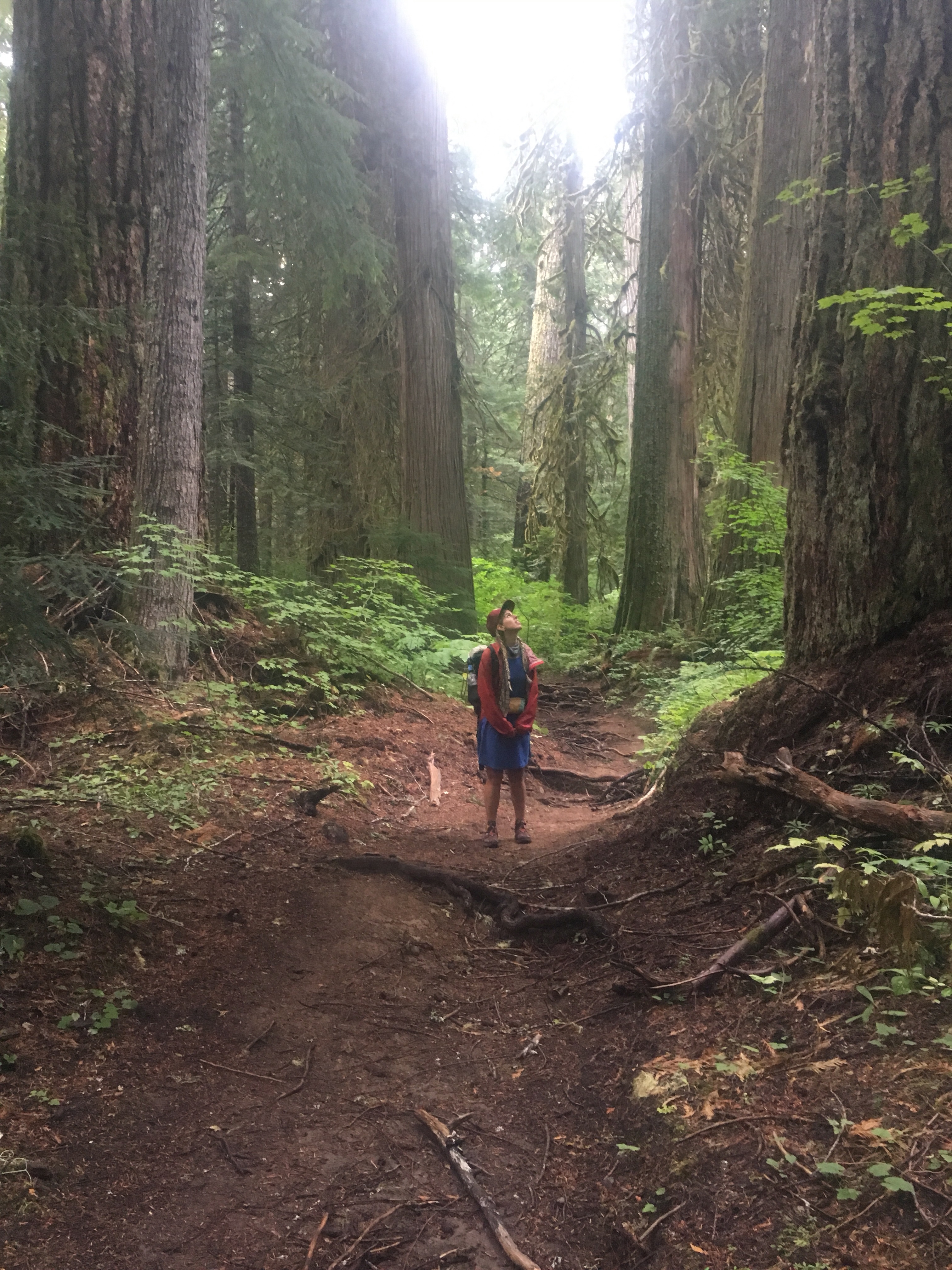
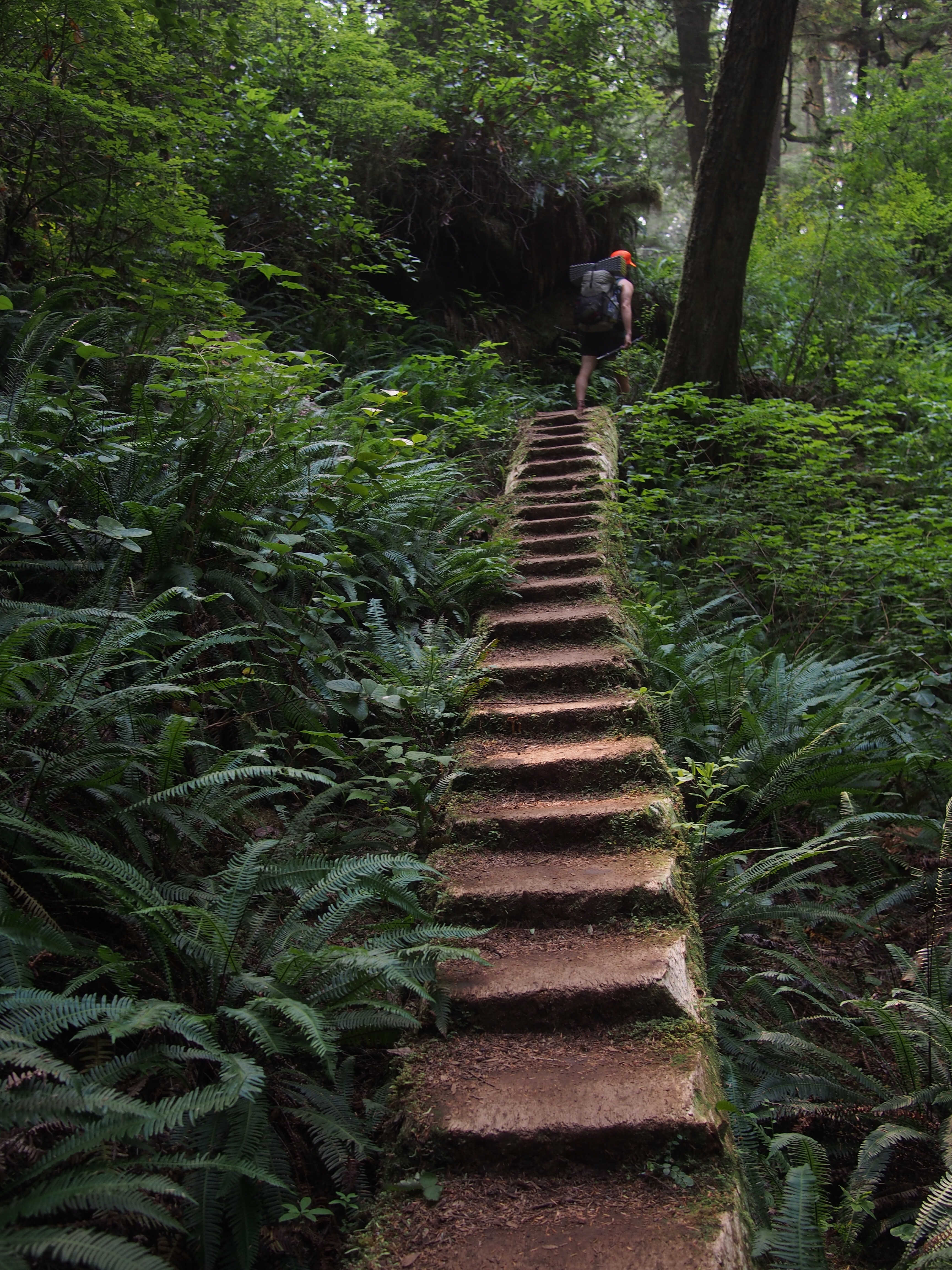
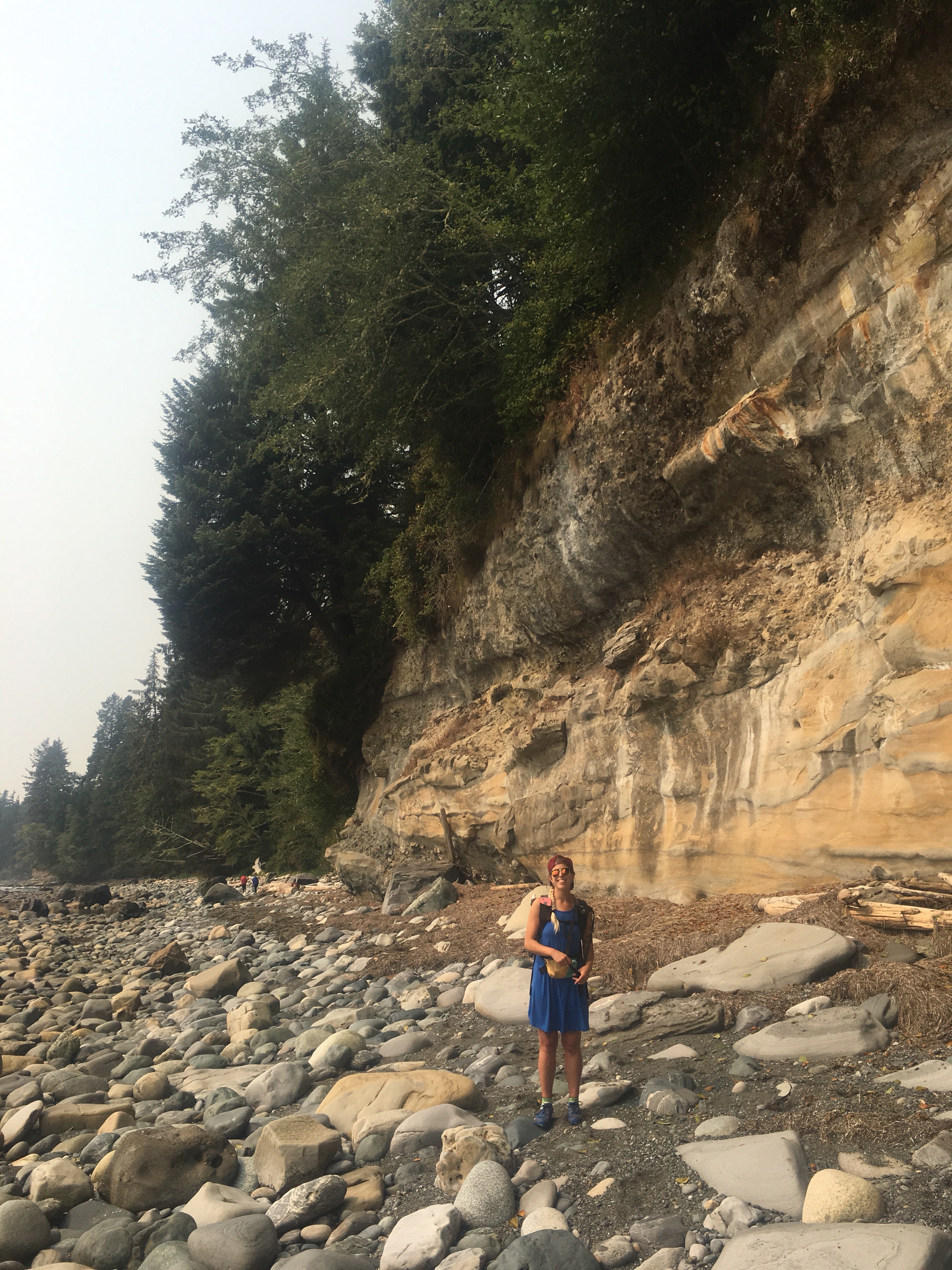
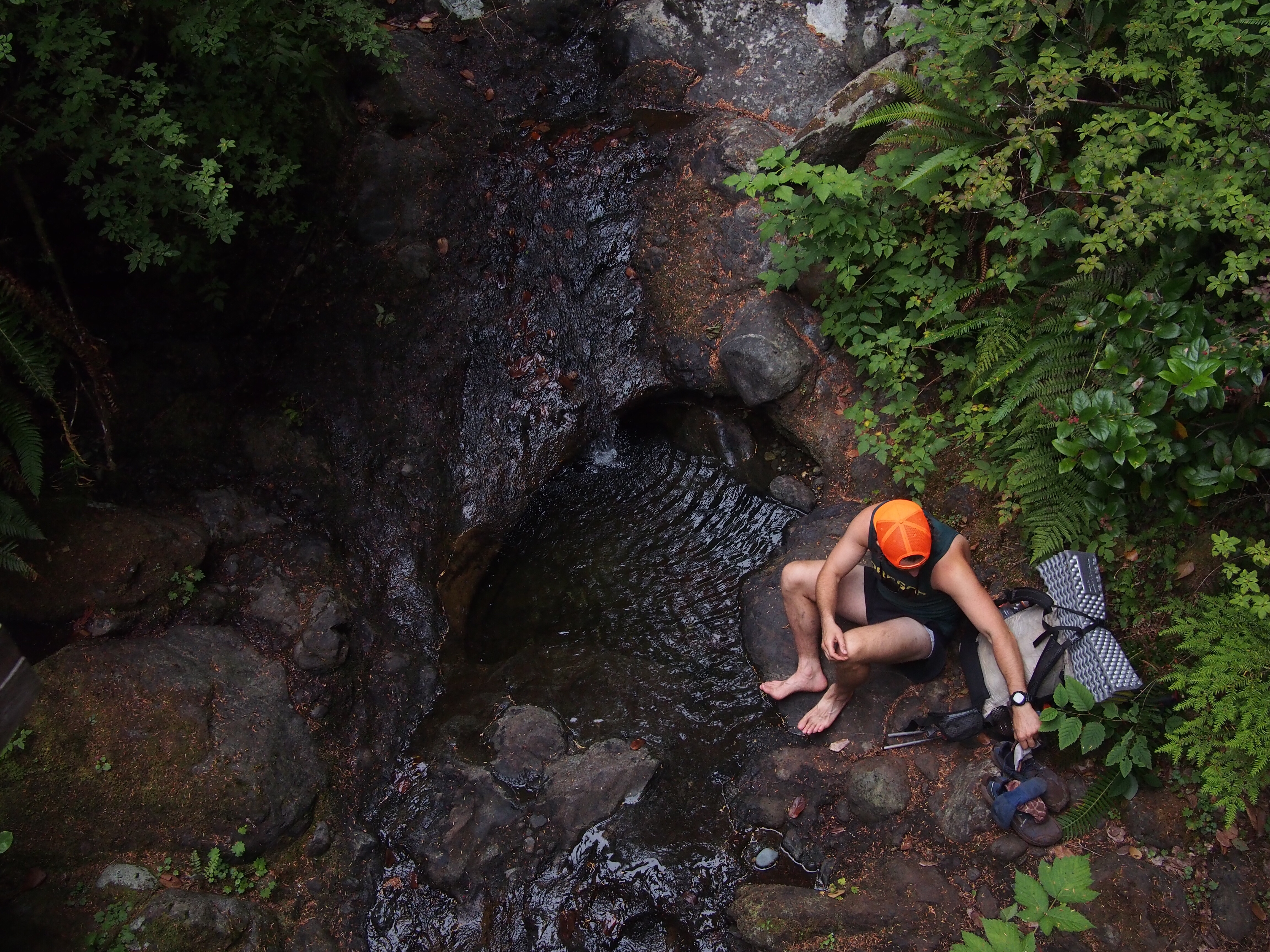
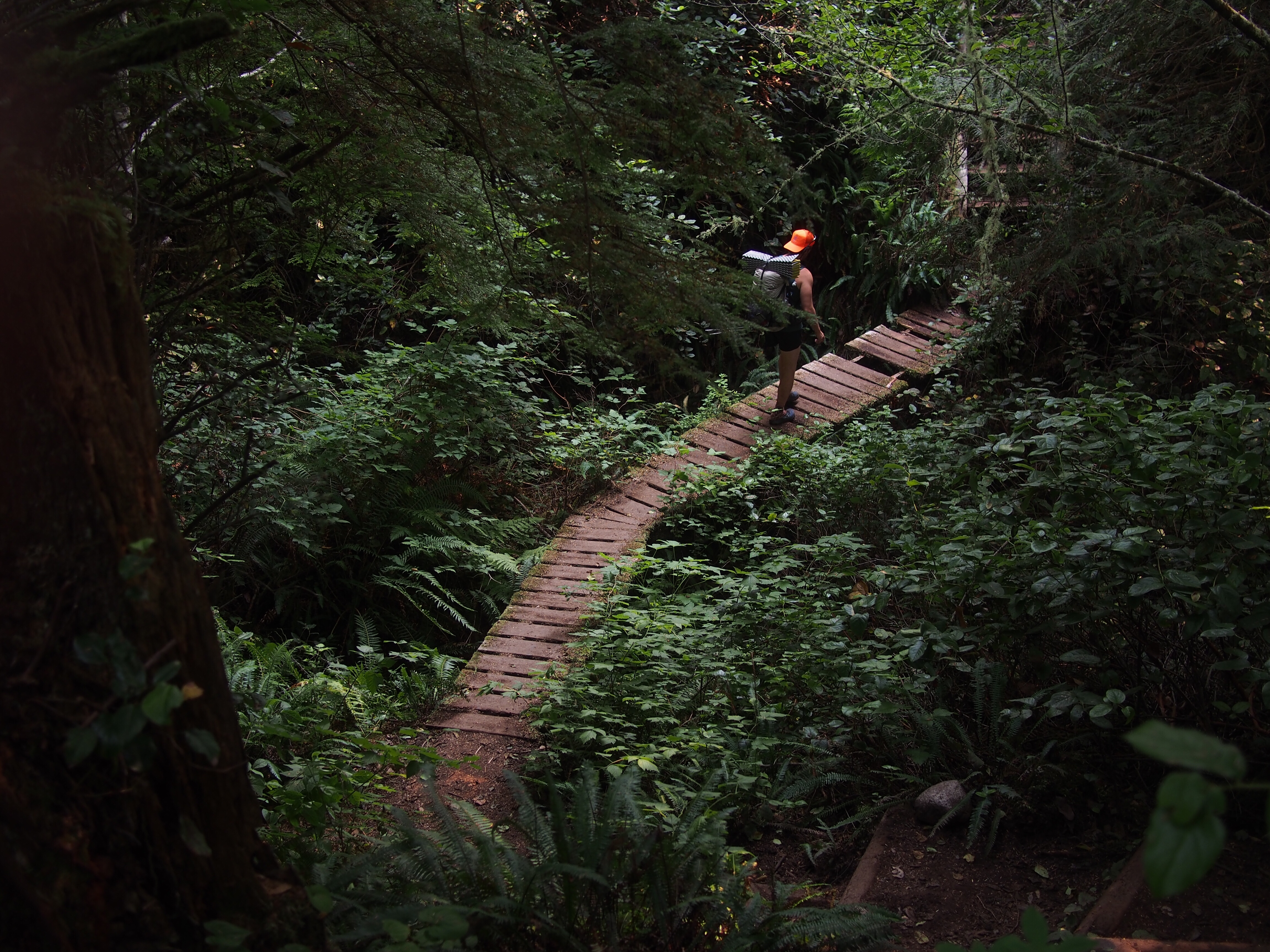
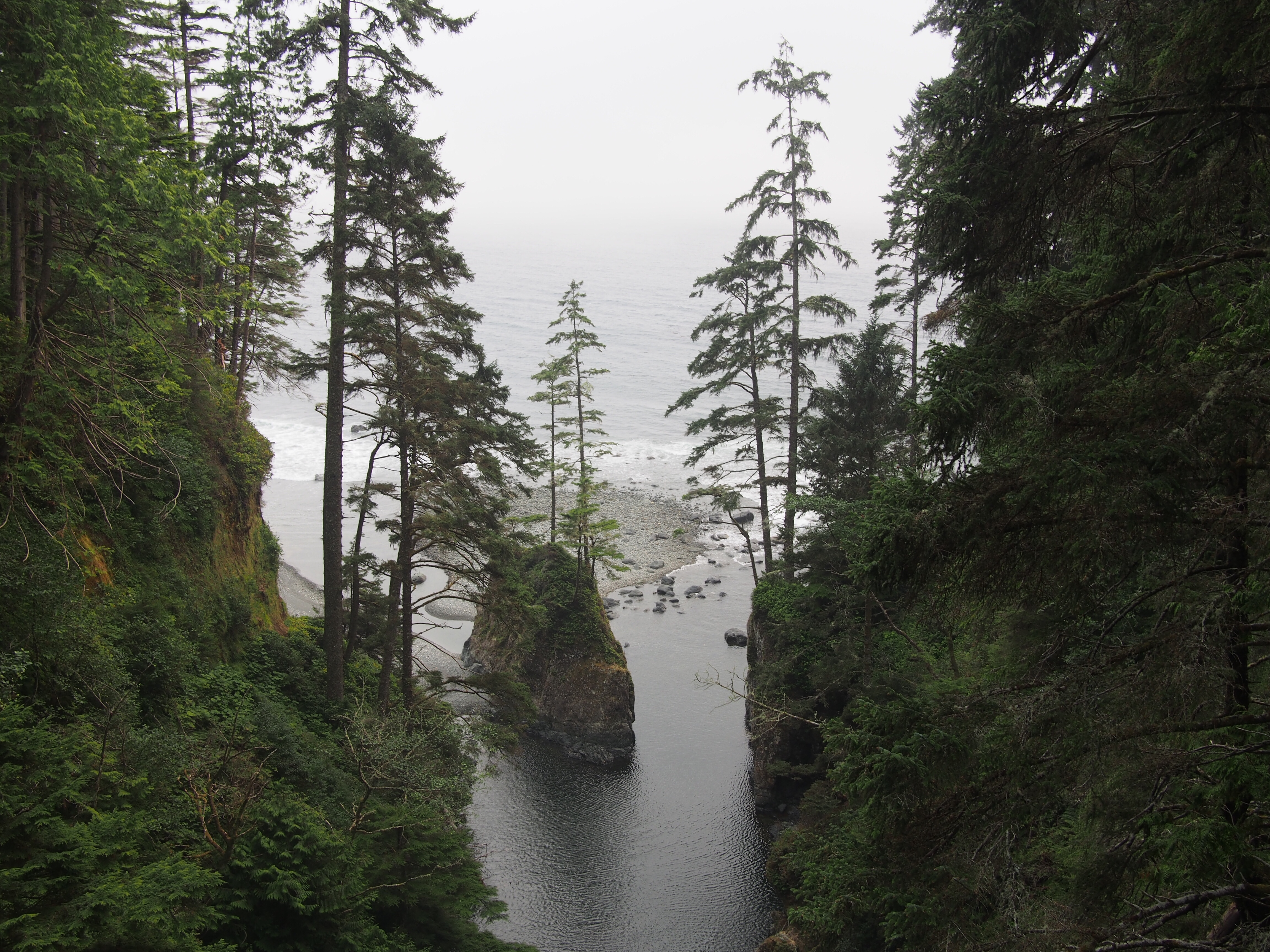
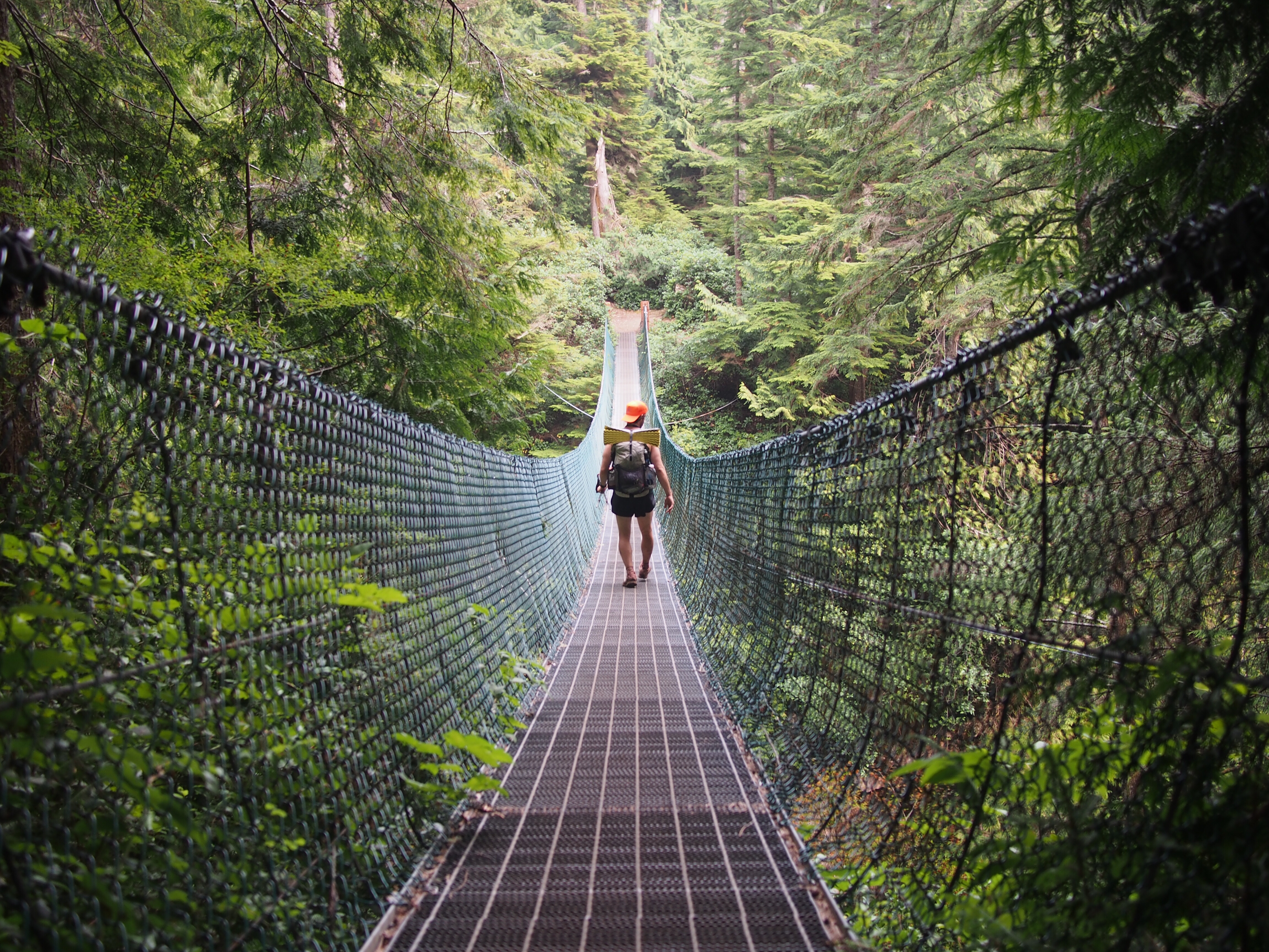
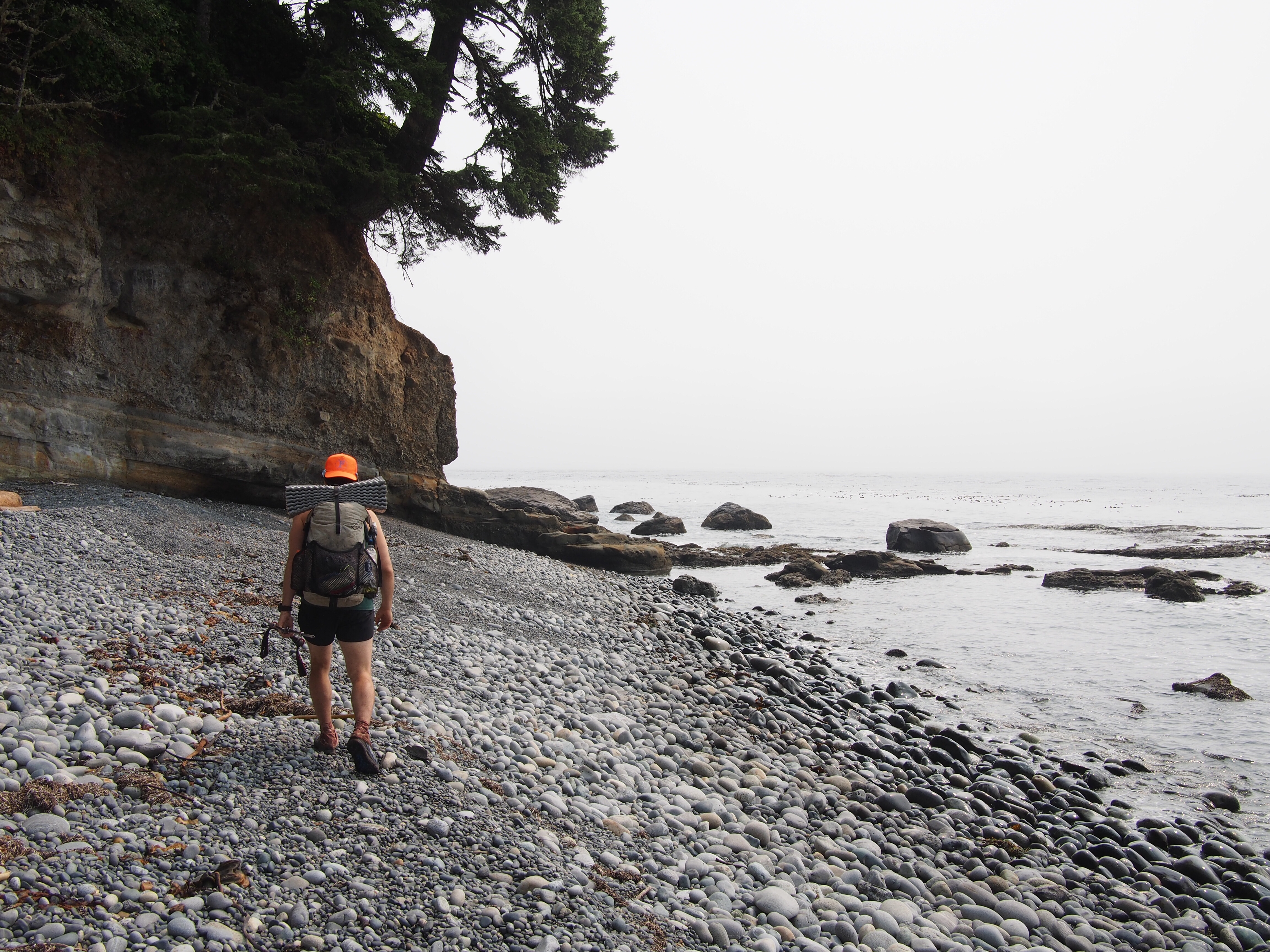
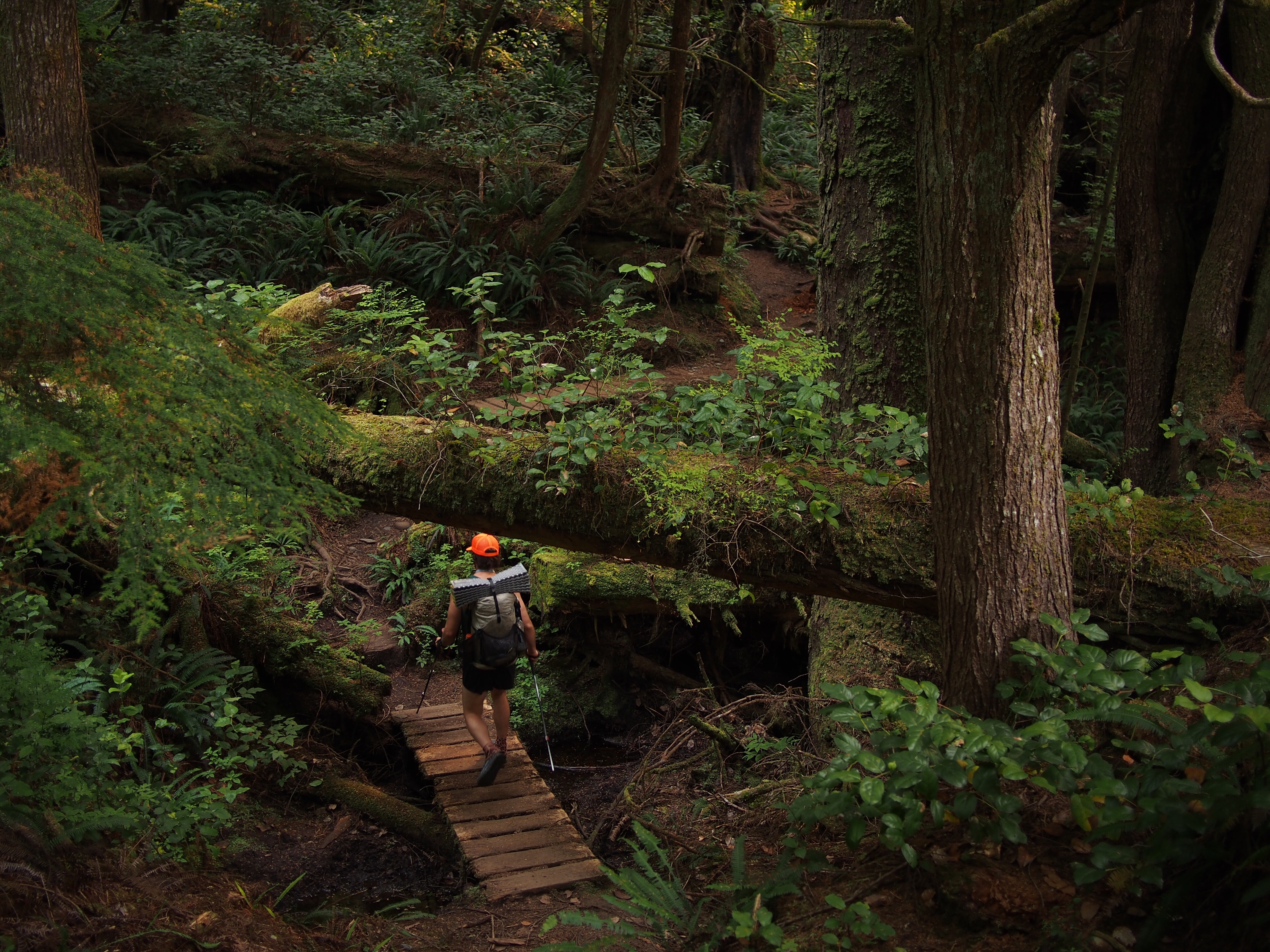
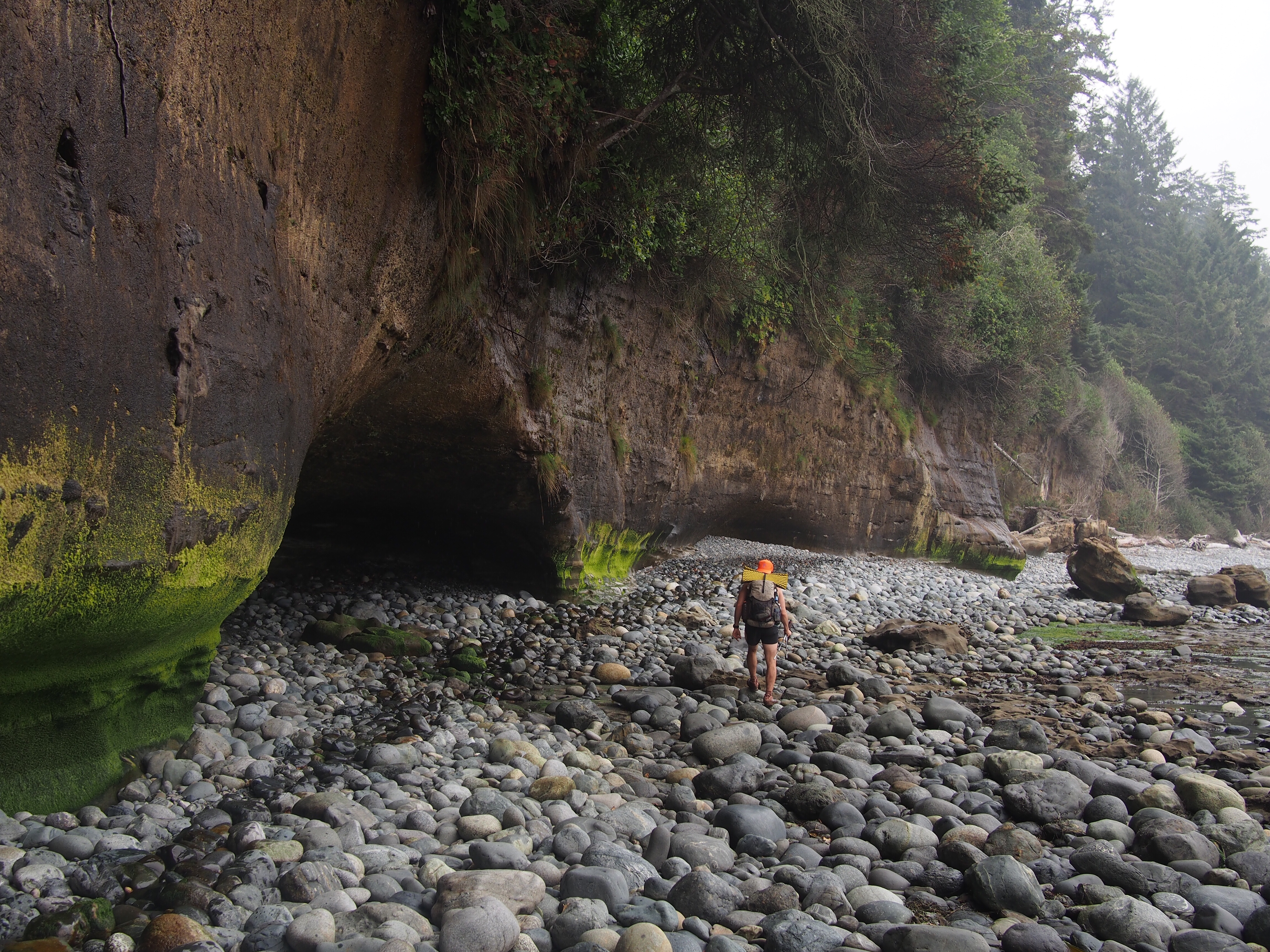
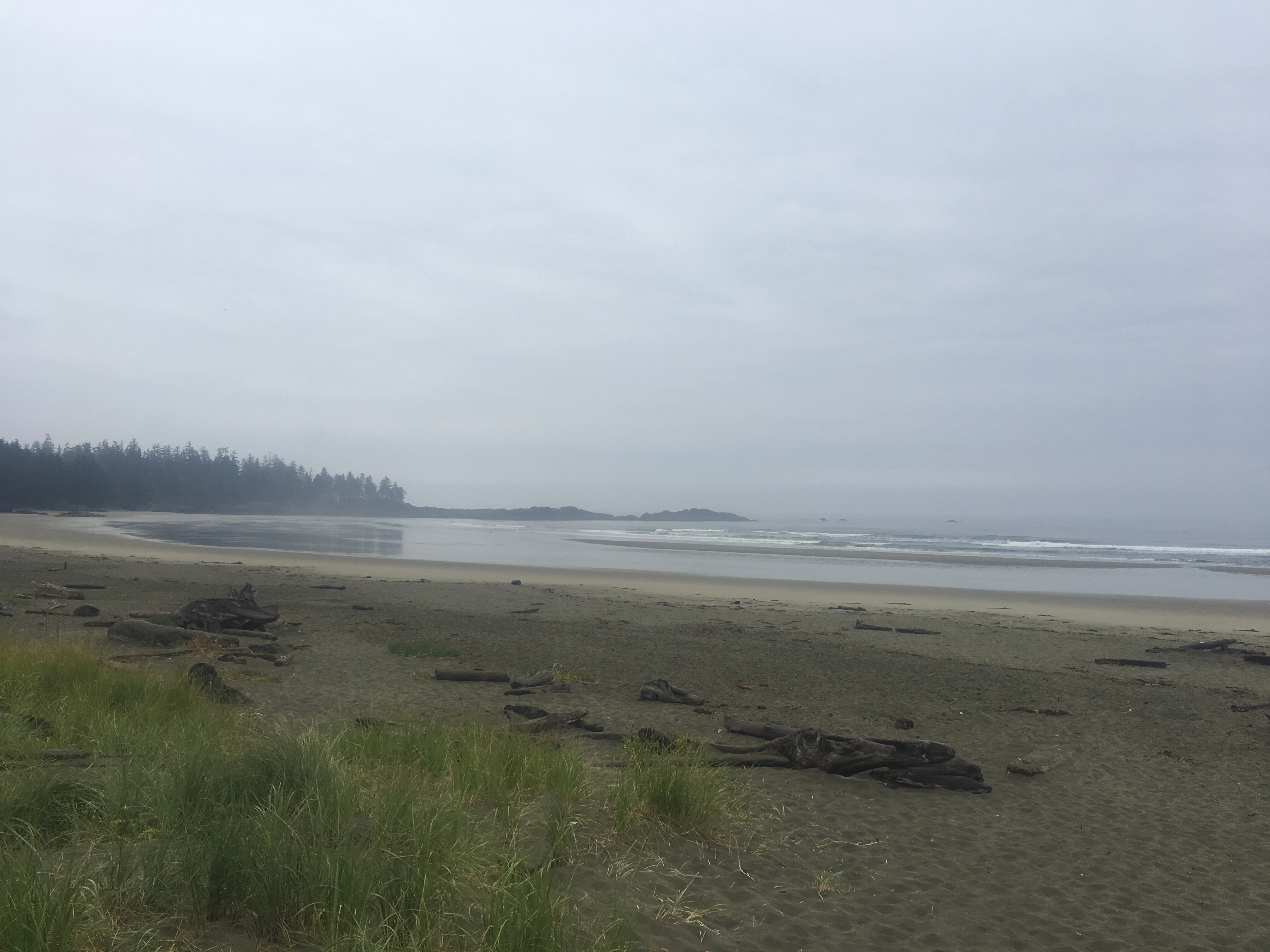
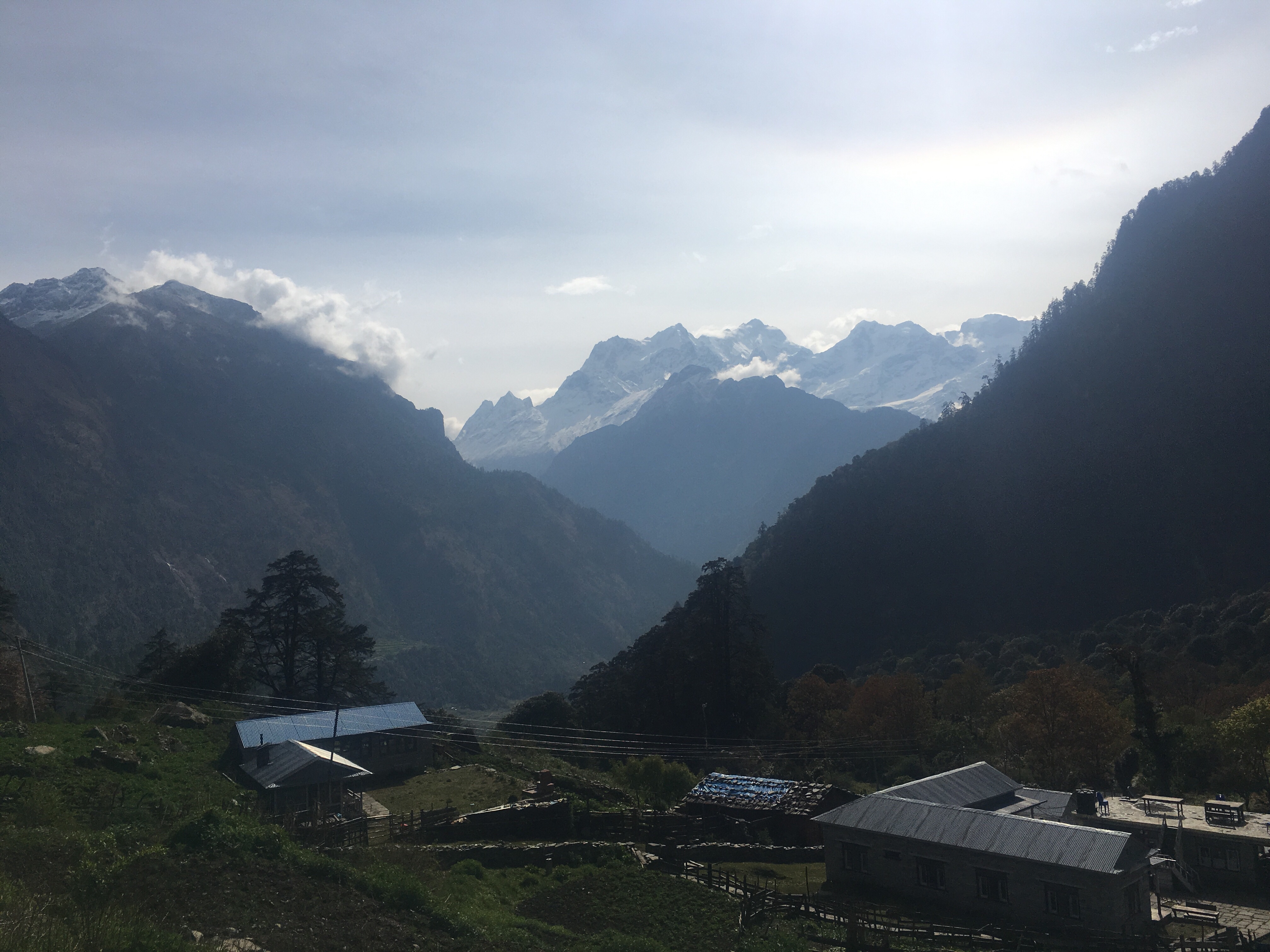
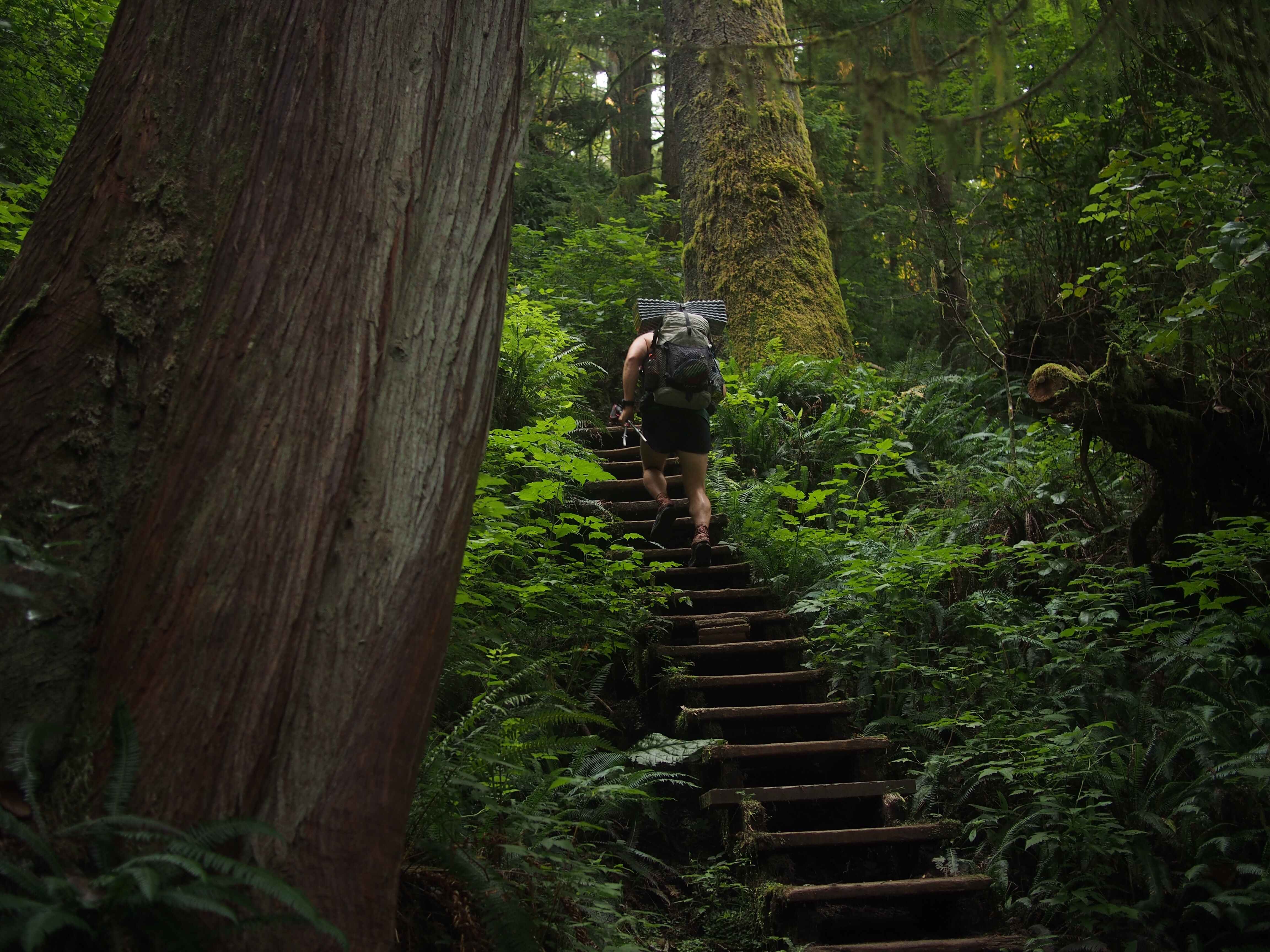 We started walking eastbound from the Botanical Beach parking lot this morning, mostly against the flow of hiking traffic. It’s been really nice. For the most part we’ve been in an old growth rain forest that sits right along the coast. We’re walking through lush forest with some massive trees and the trail is loaded with lots of infrastructure. When I say infrastructure I’m talking about staircases built into the side of the trail, or planks on the ground so you won’t step in mud, or bridges built out of old fallen down trees. I like that sort of stuff. Every once in awhile we’ll have a view of the ocean or pop out onto a beach and walk along that for a bit. Some sections you need to have a tidal chart in order to safely get around the headlands, luckily for us we’ve yet to get jammed up with high tides. I’ll say this about this place, it’s definitely more crowded than I expected. When we got to Sombrio Beach there were all kinds of people walking around, probably because there’s a road out that way but I was surprised. Still beautiful though and I’ve been digging it.
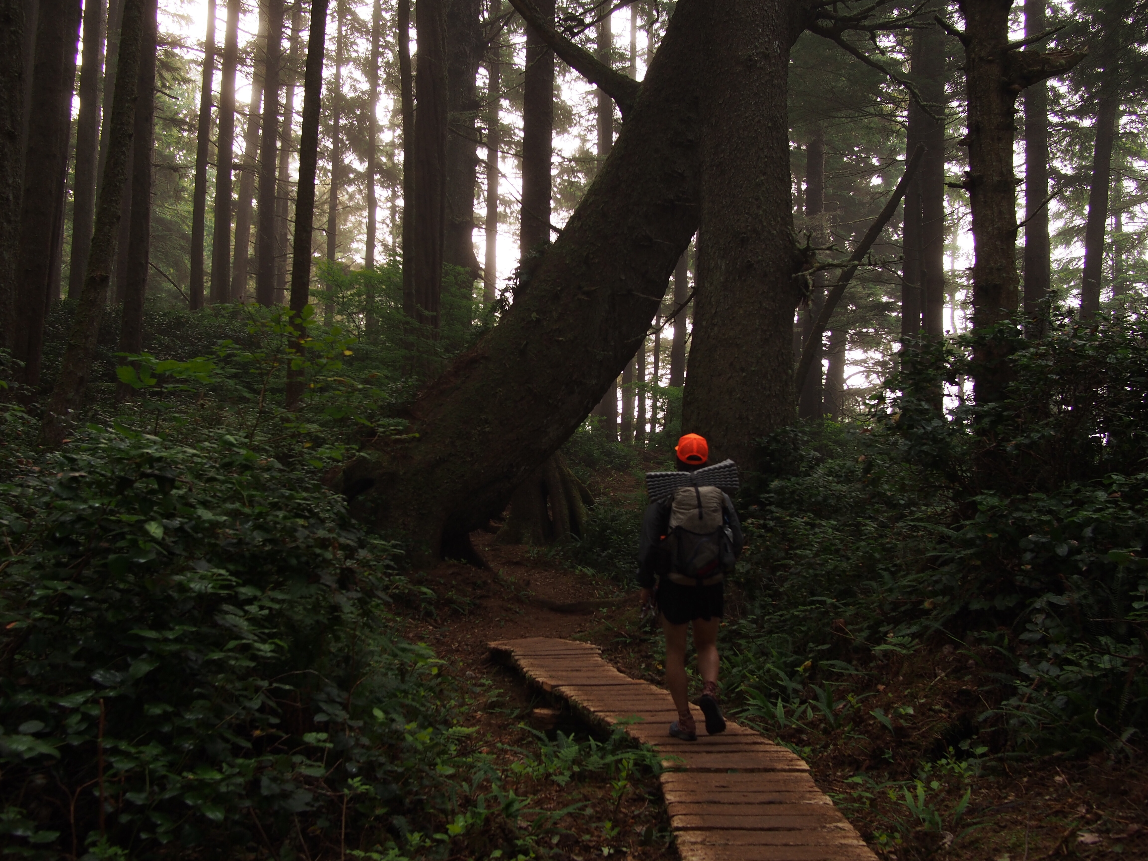


 for more pictures find me on insta @endlesspsummer and Sara @sarahikes
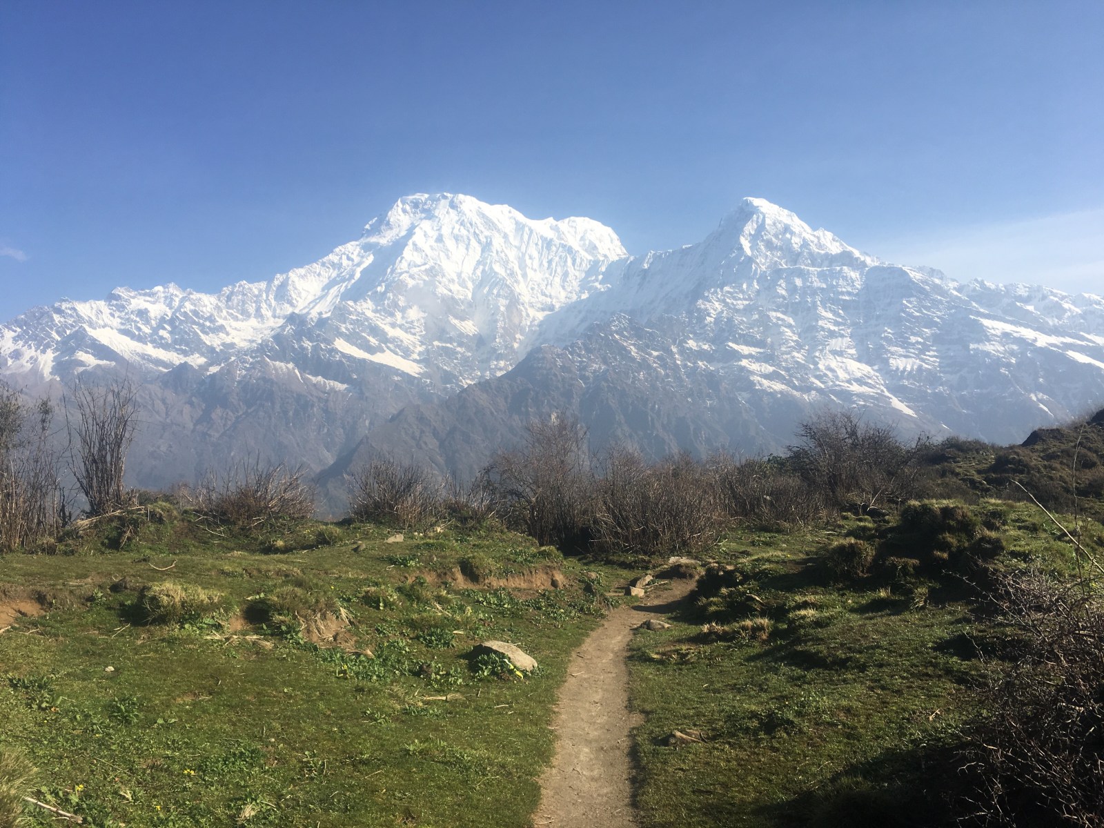
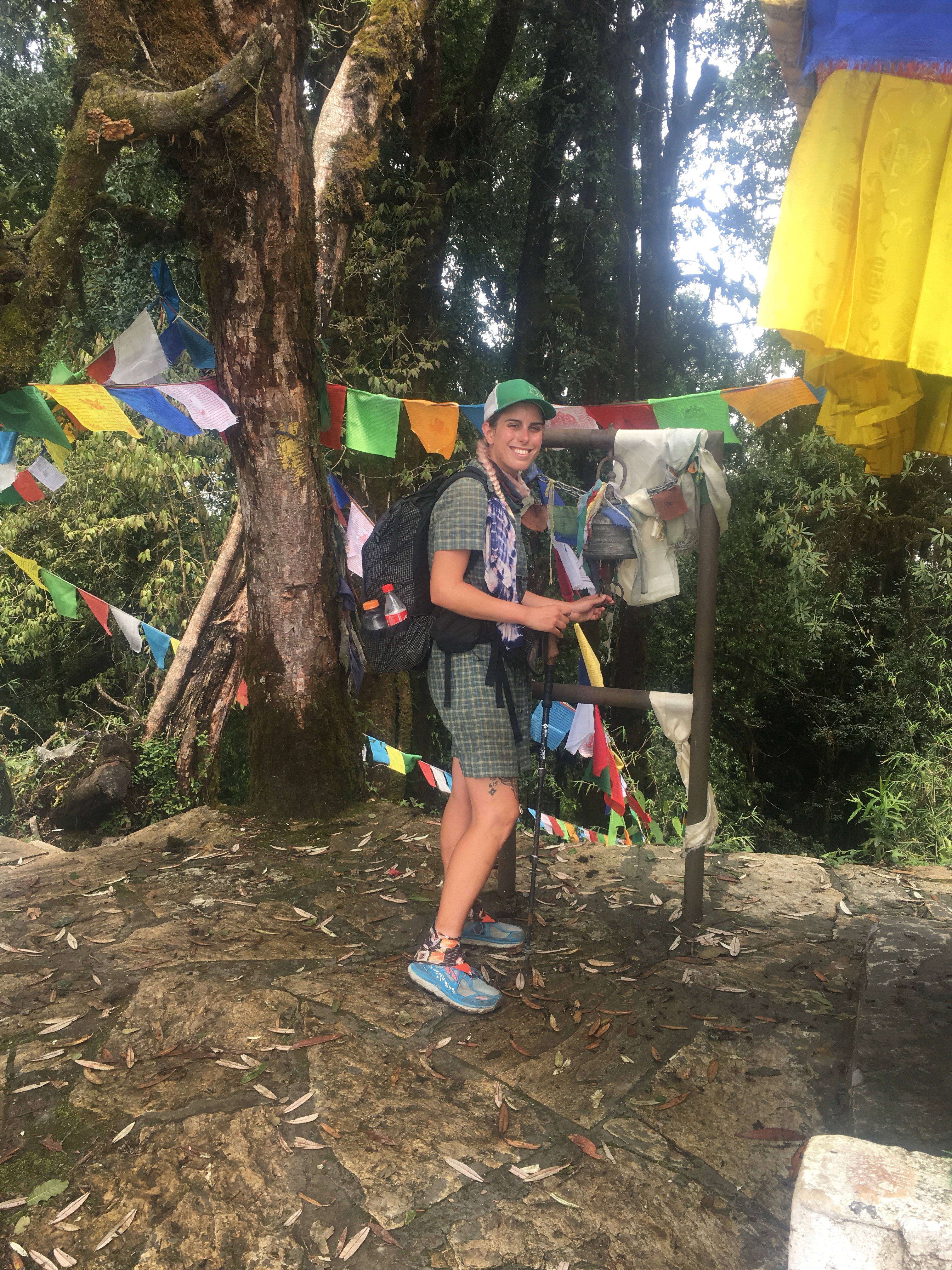
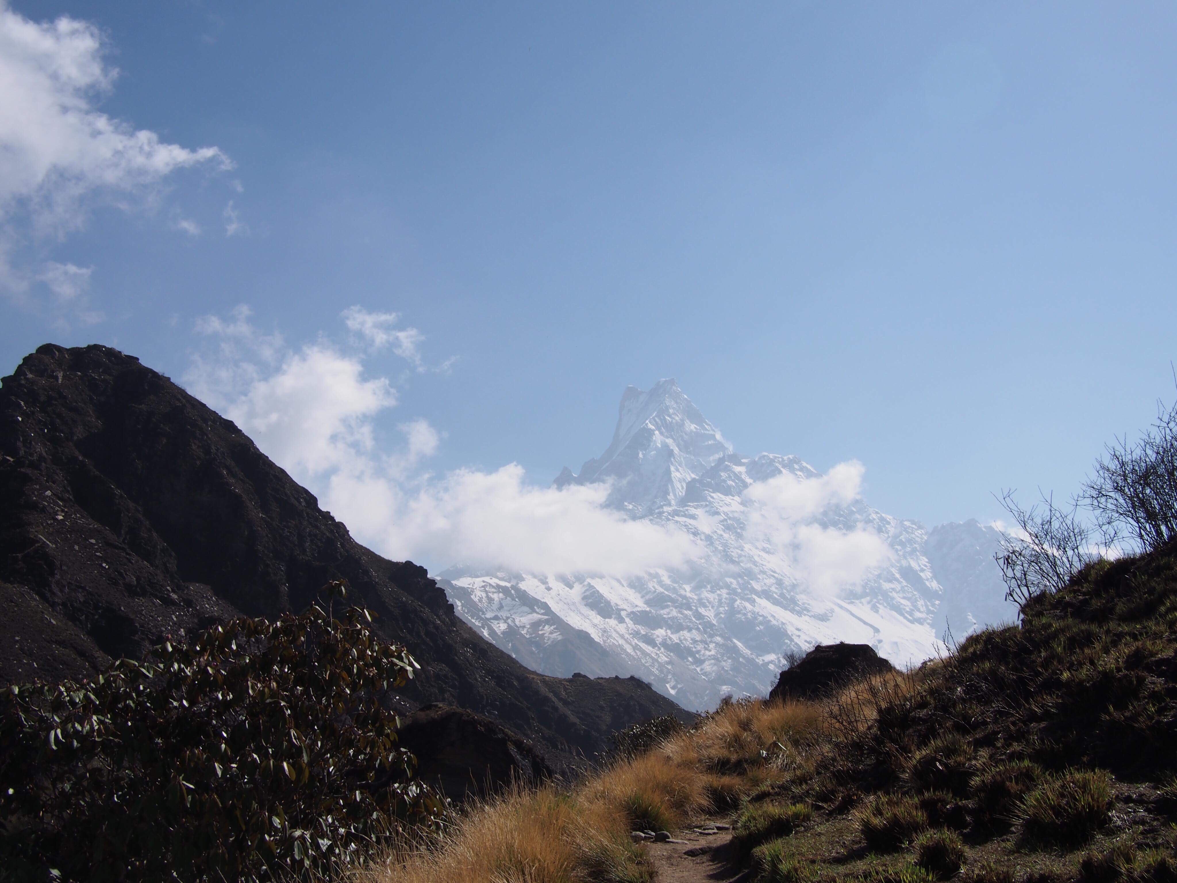
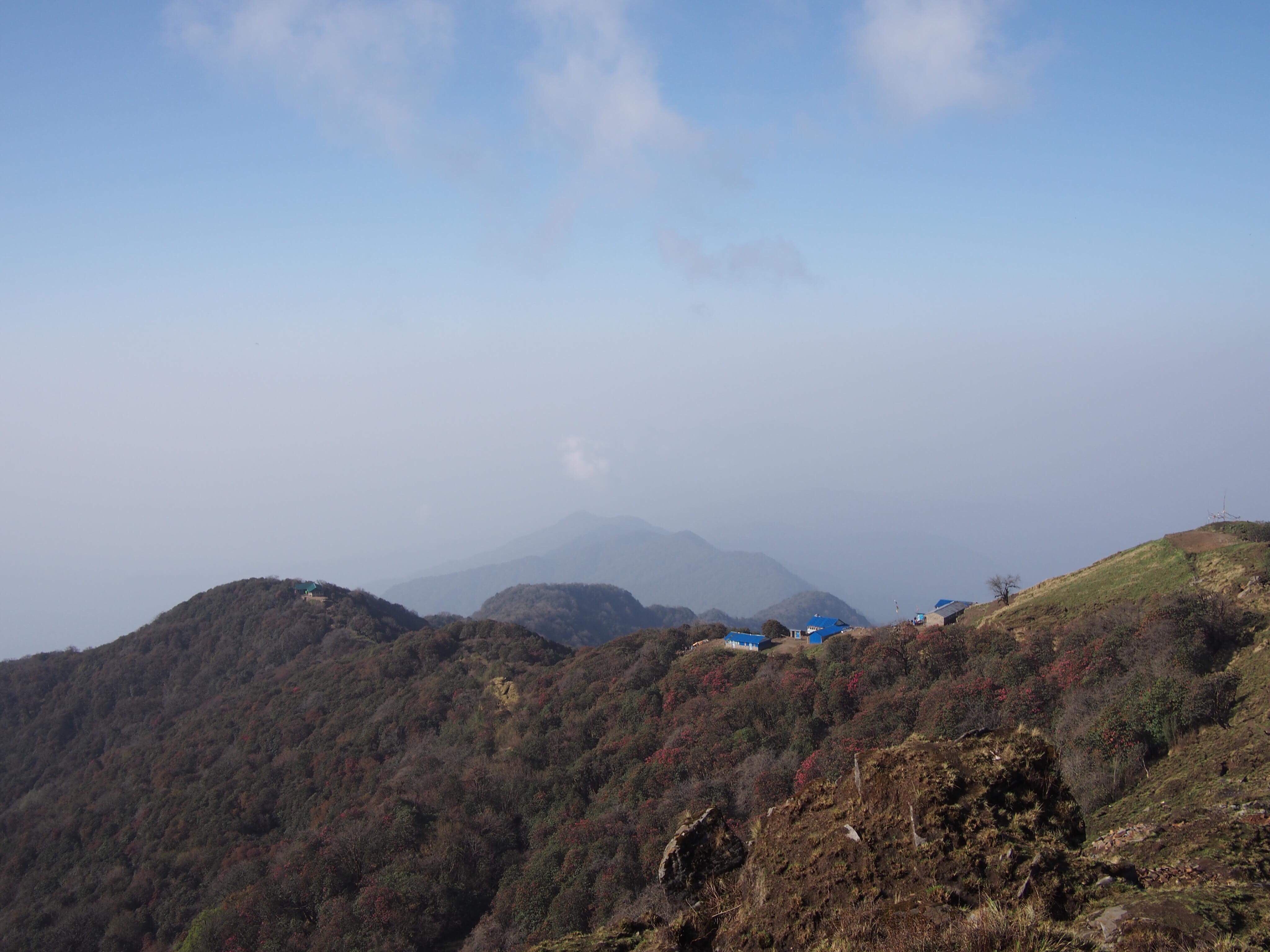
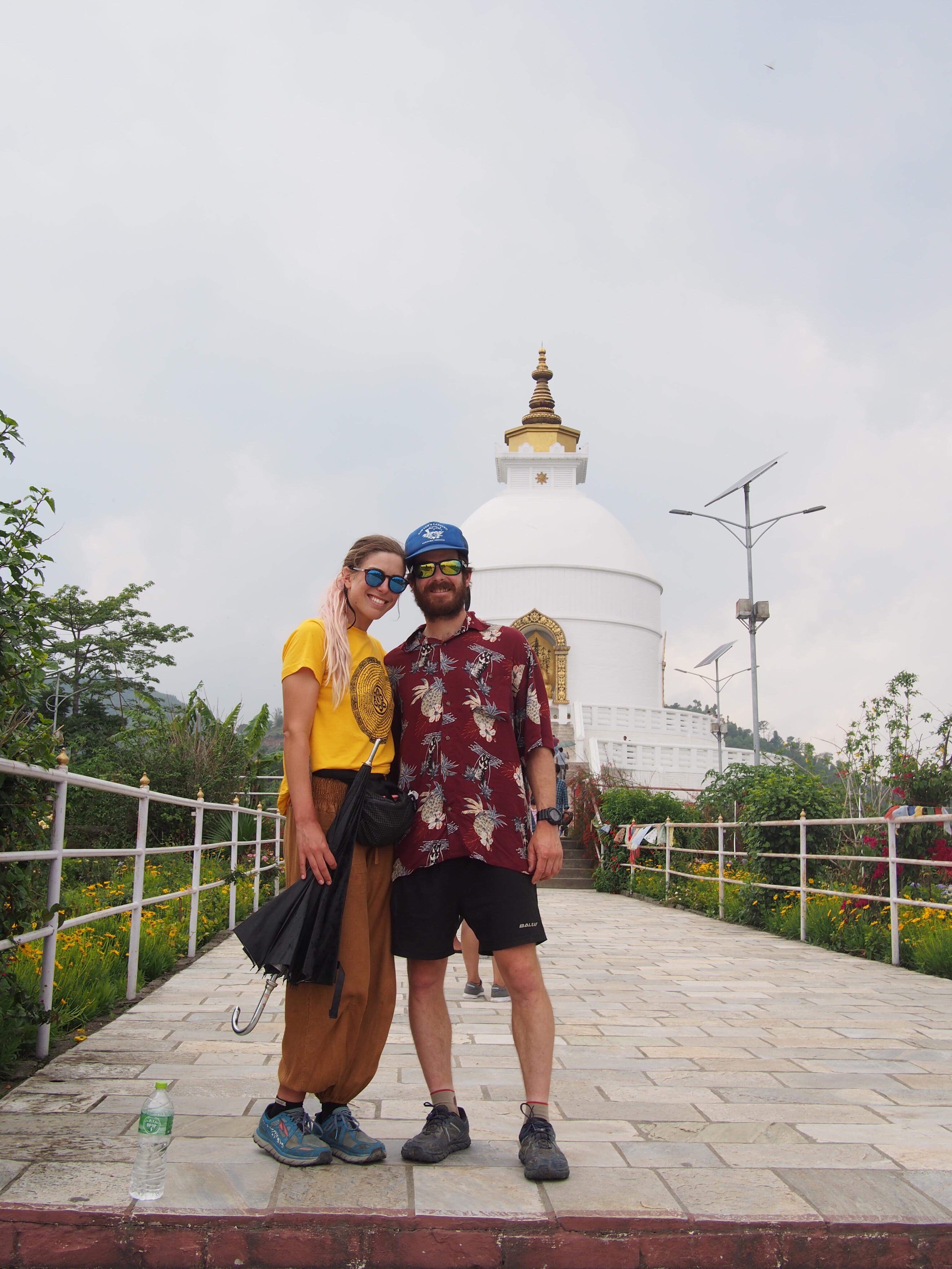 World Peace Pagoda, Pokhara
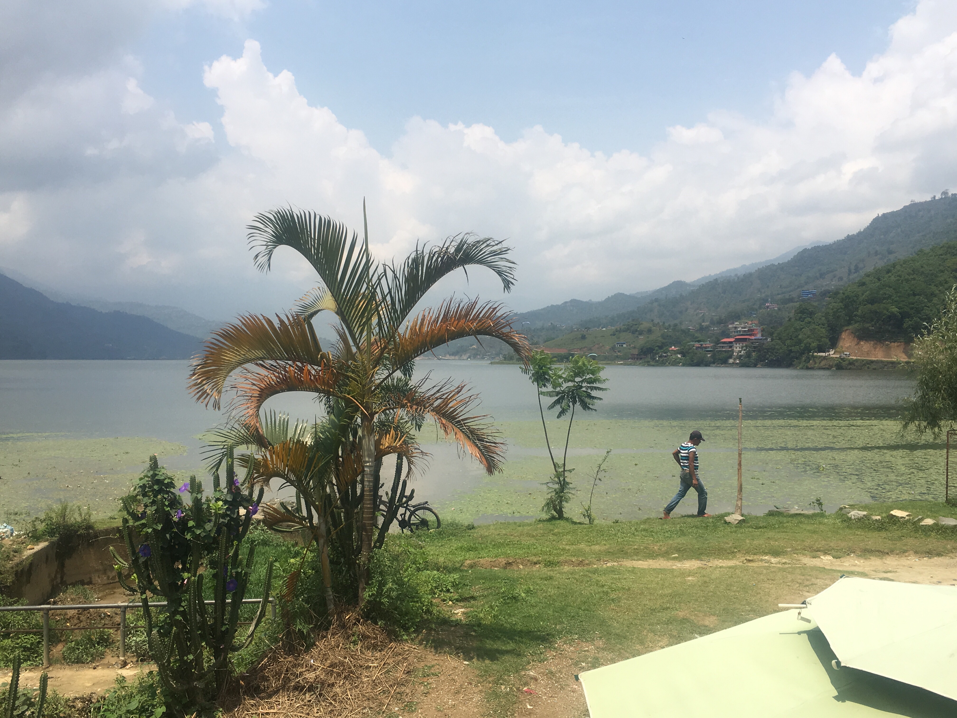


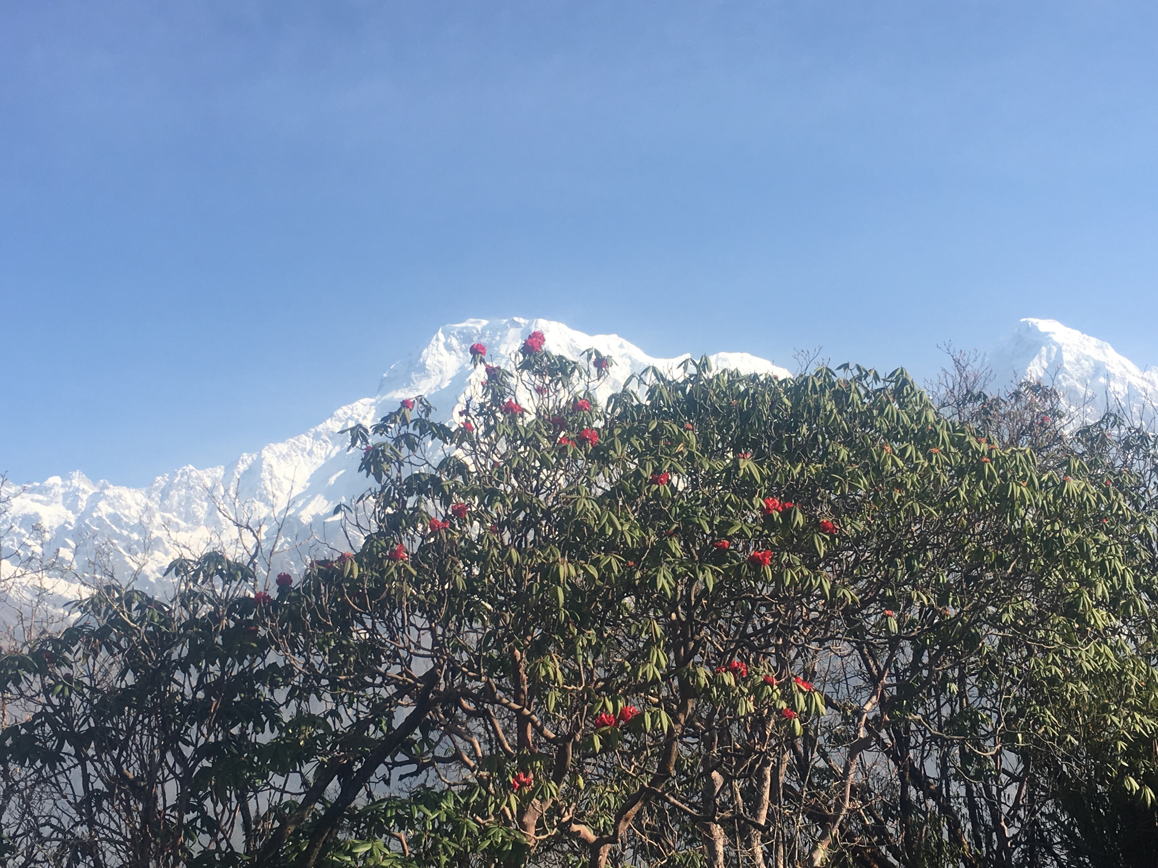


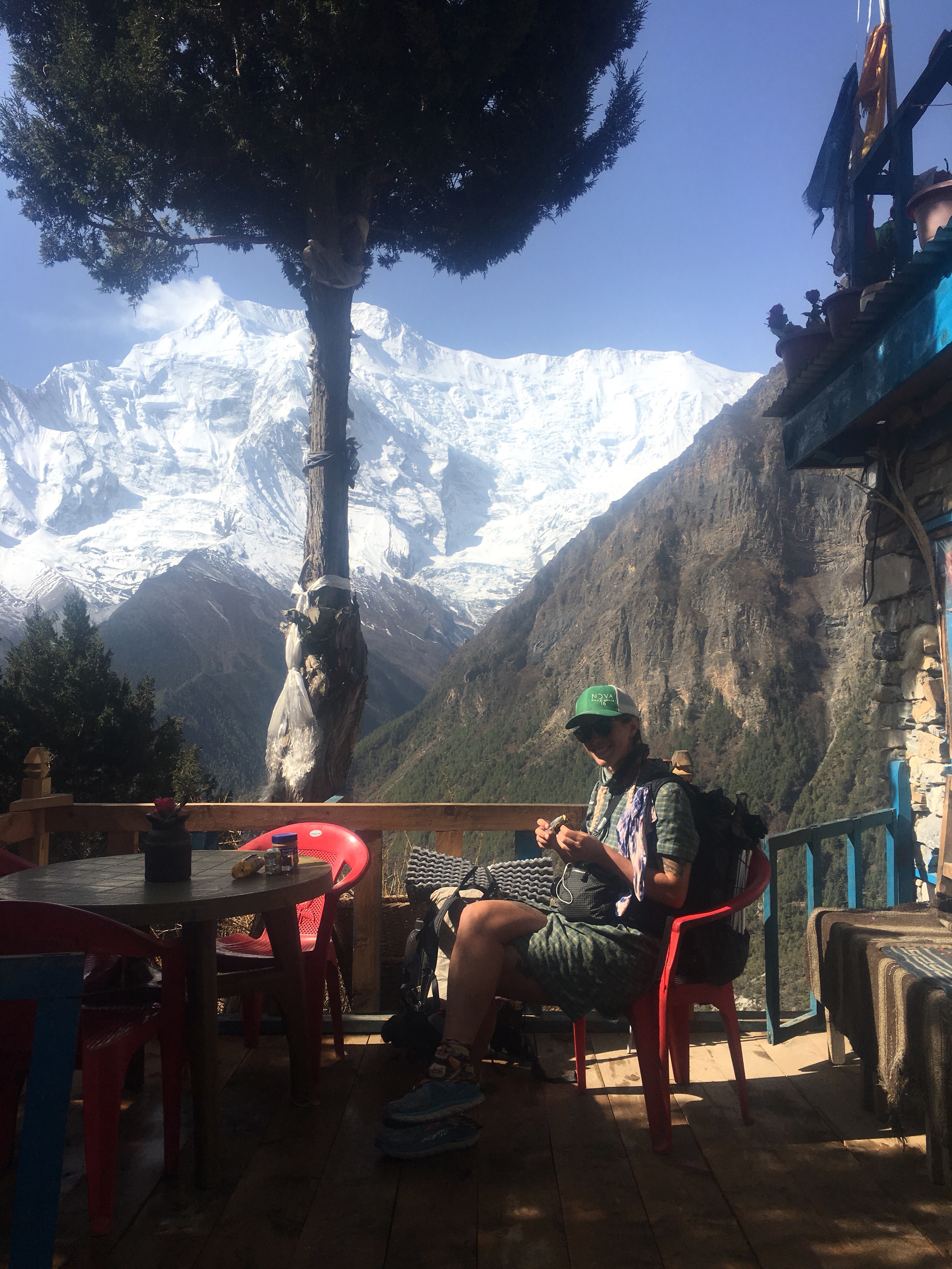


 Sweet $3 view!
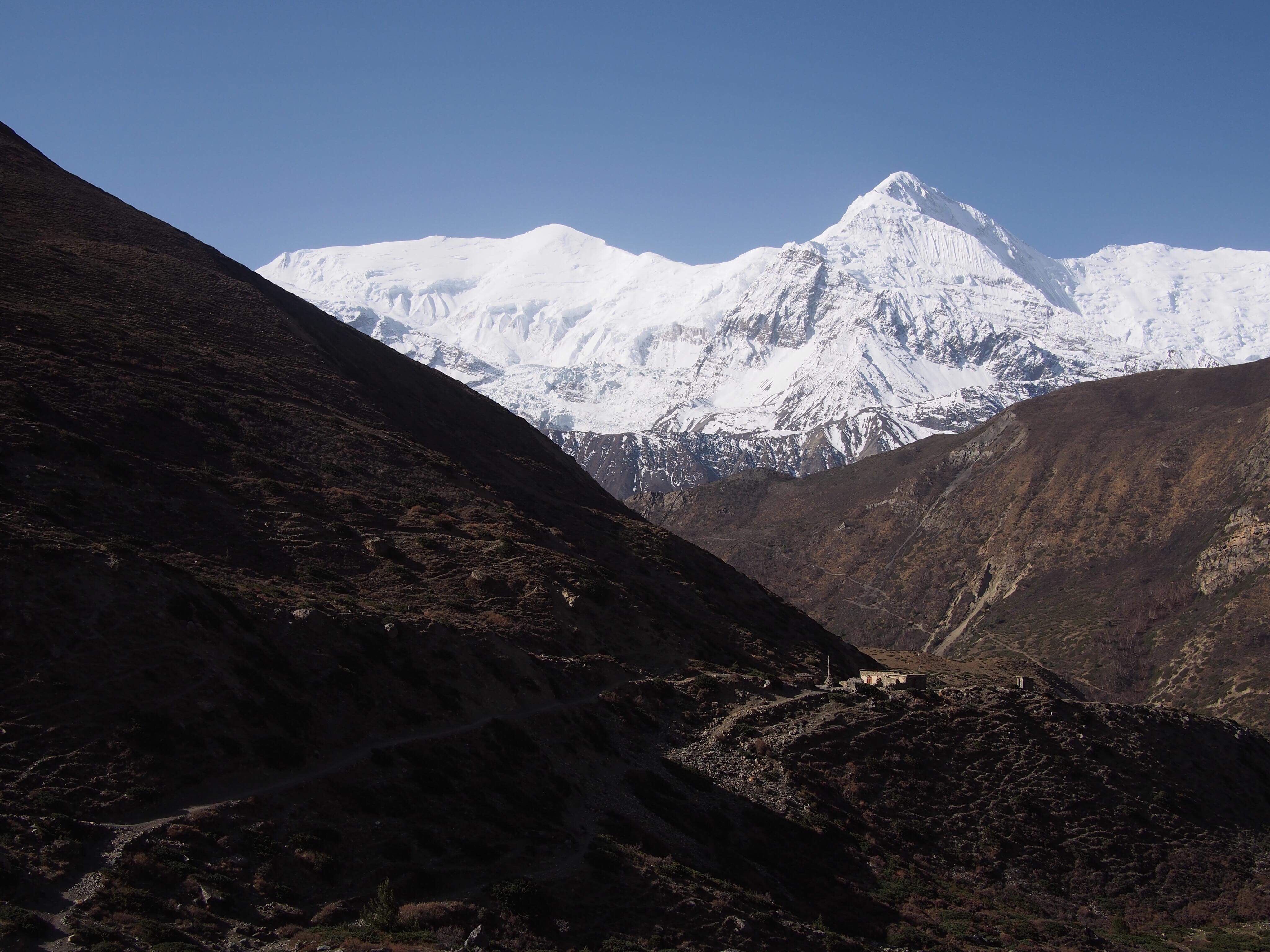
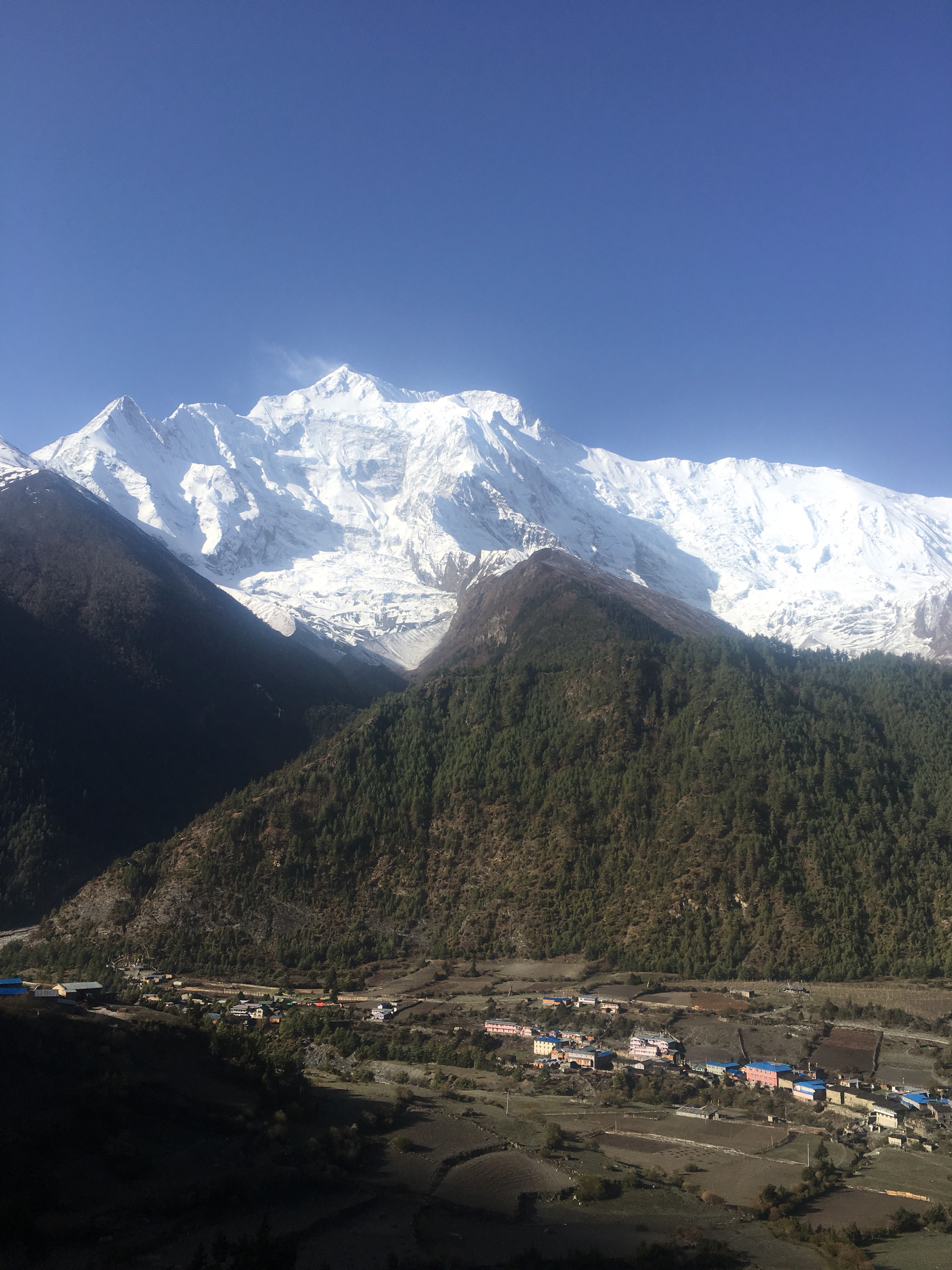
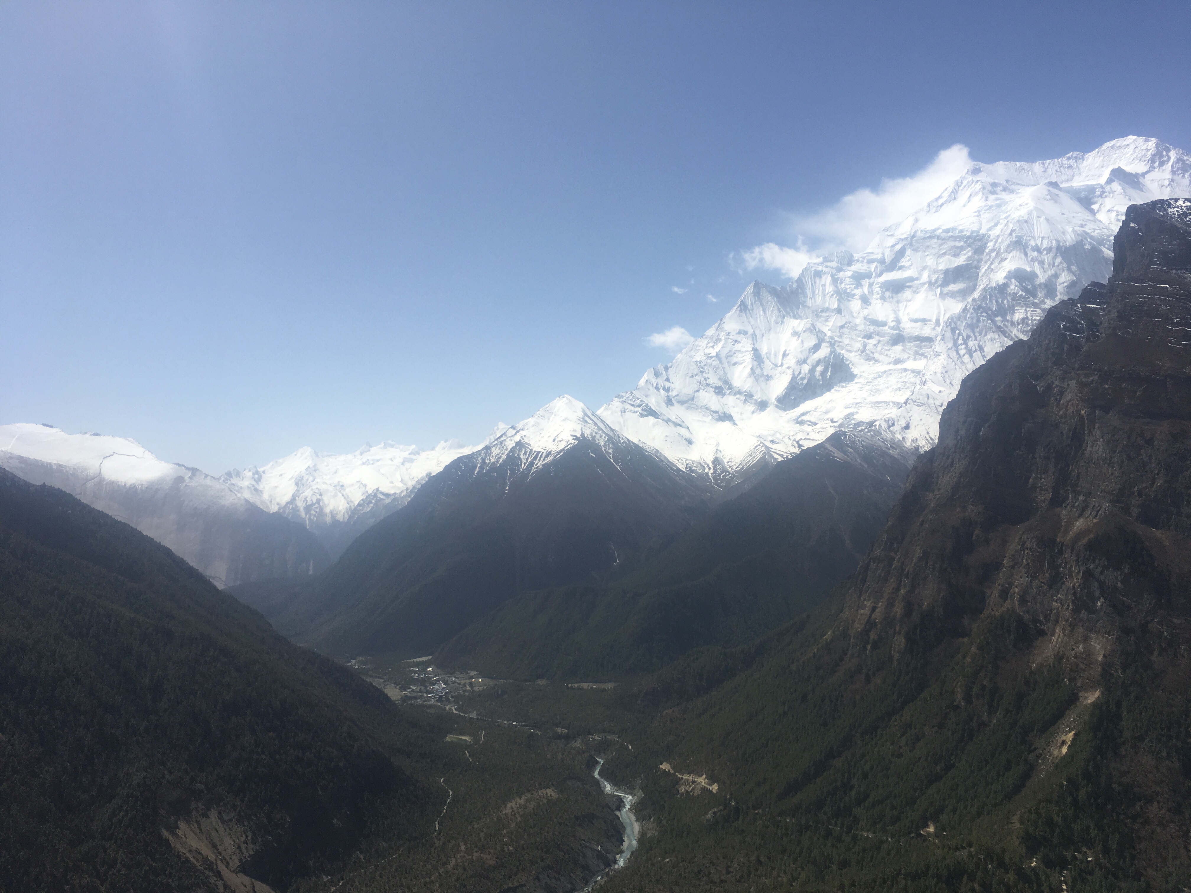
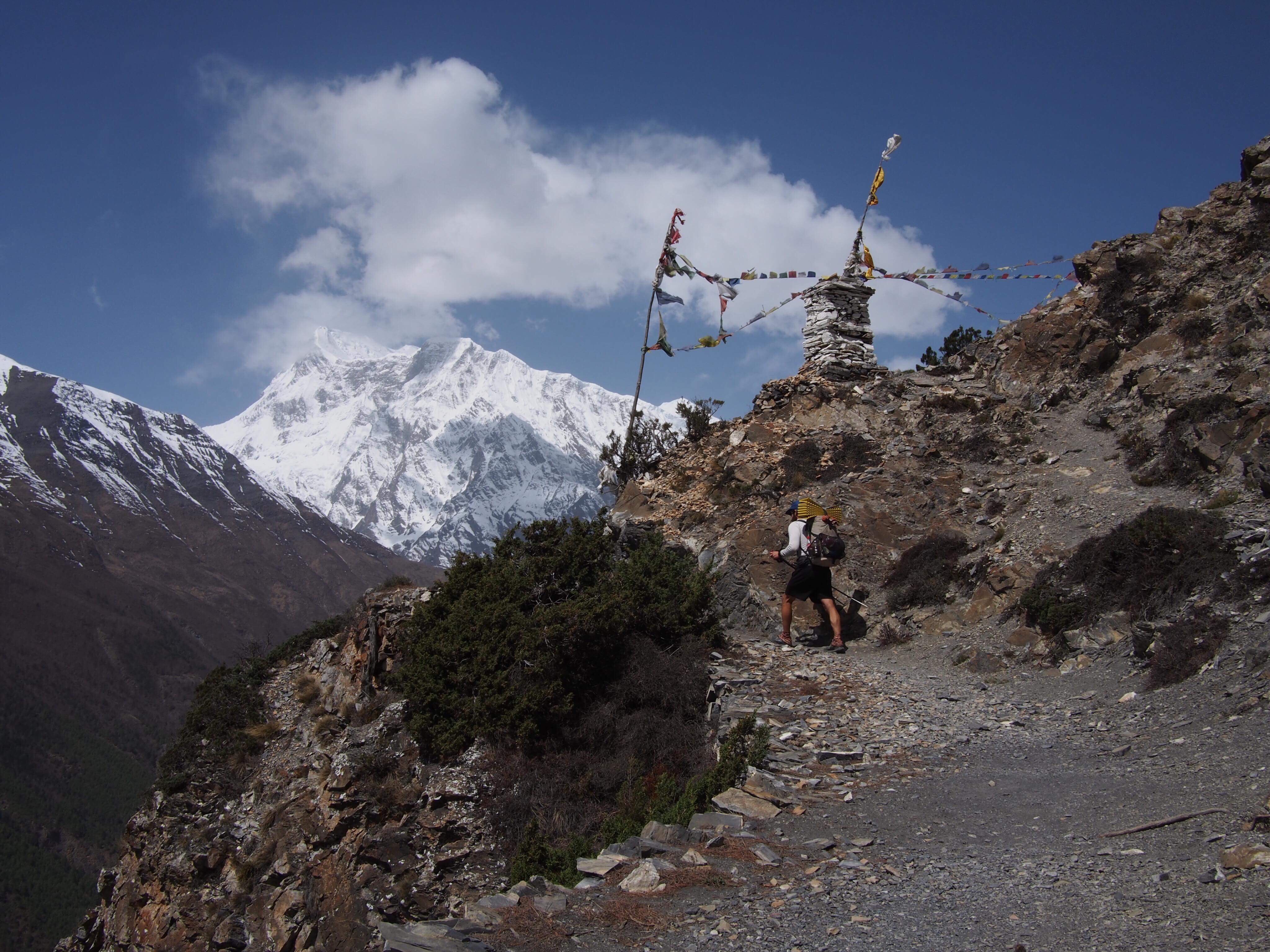
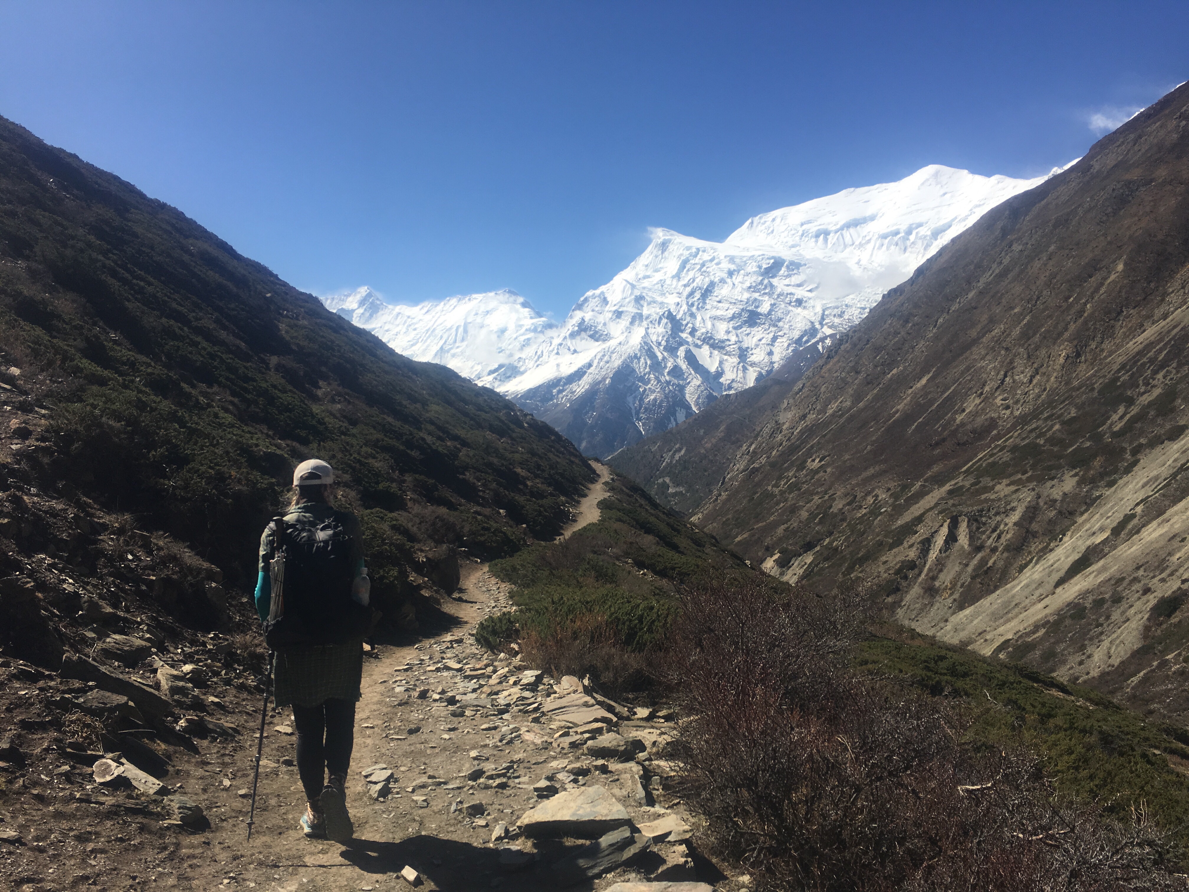
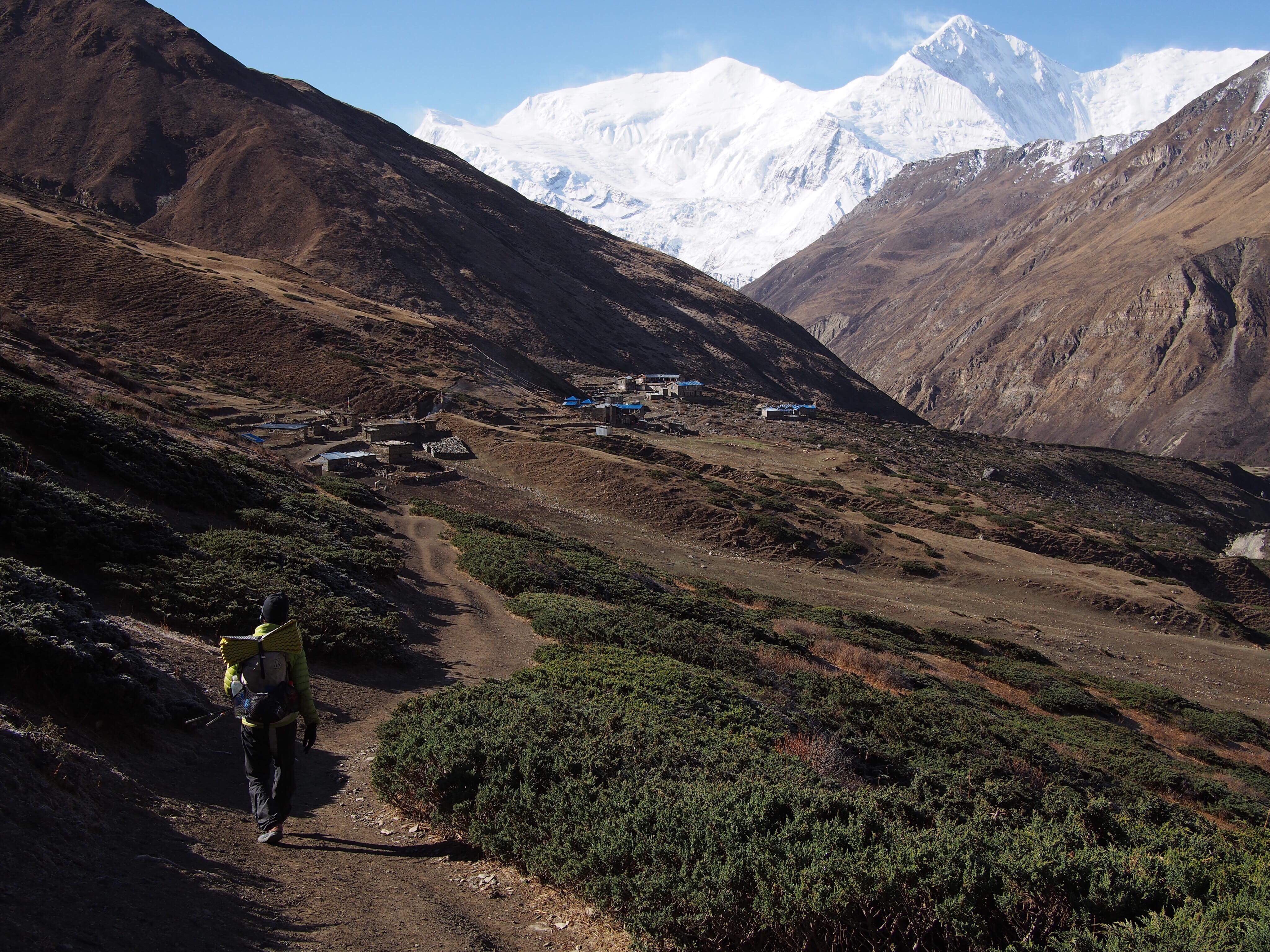
 Even though we only walked about 4 hours today the hiking was pretty rad. We walked higher and higher through a valley all morning and had views of some incredible mountains ahead of us and behind us. At one point along the side of the trail there was a dead goat or a blue sheep carcass and we watched as about a dozen Himalayan Vultures(not sure what the real name is for these birds but they’re massive) fought and picked over the dead meat. It was quite a sight. 3rd coolest thing I’ve seen in 2 days: avalanche, a dog sliding off a roof that a girl caught that we saw in Manang, and these vulture fights.
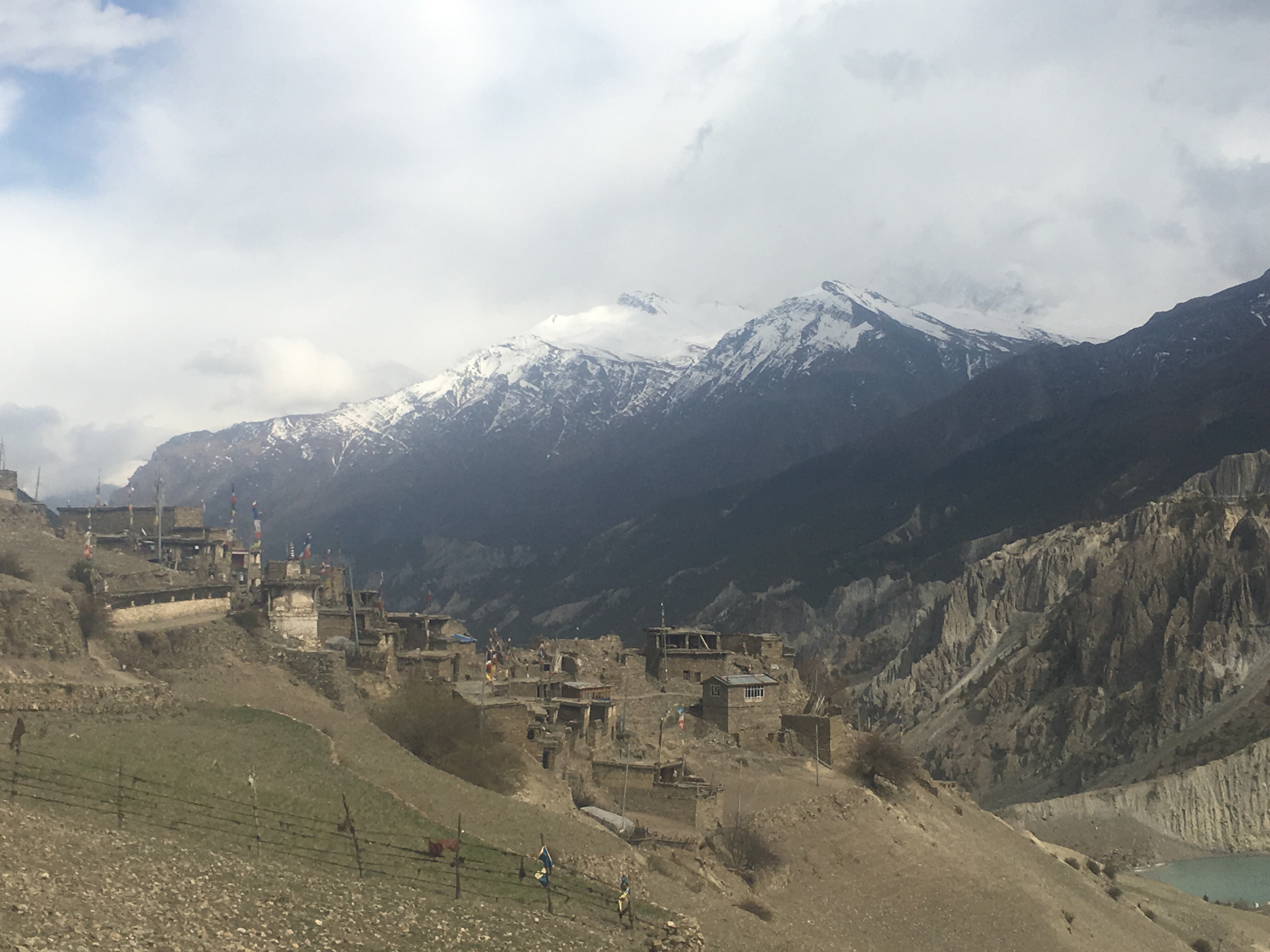
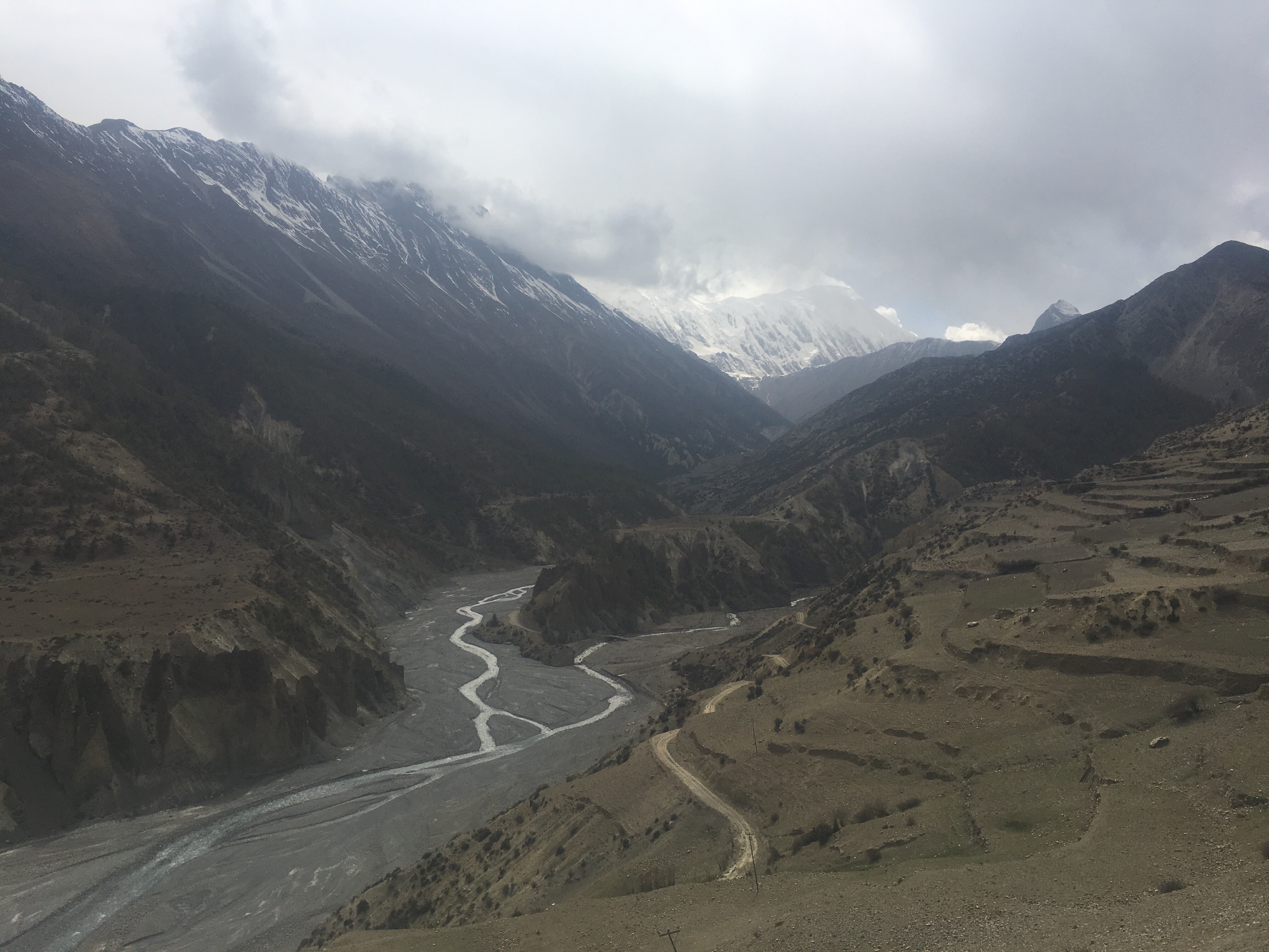
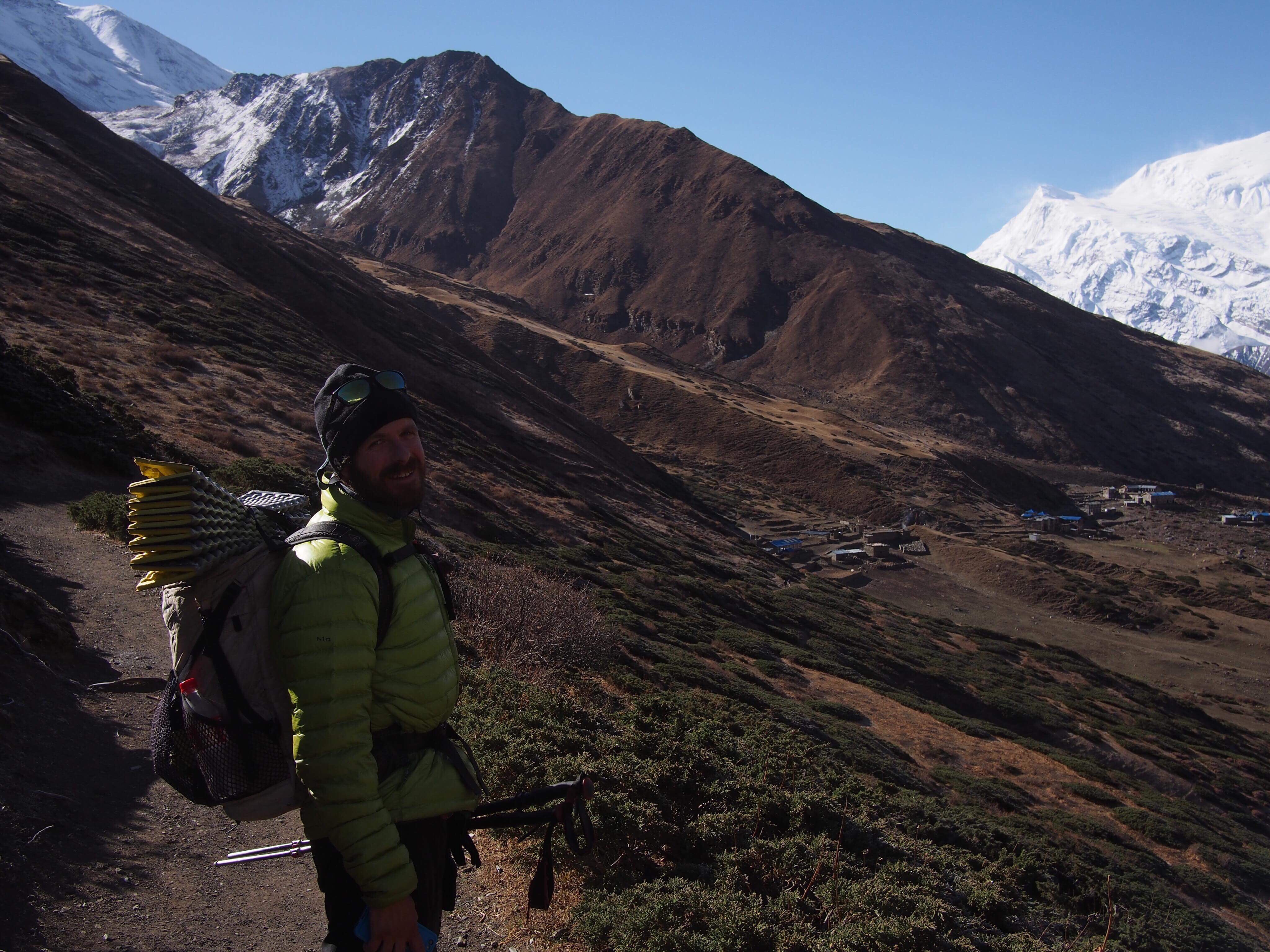

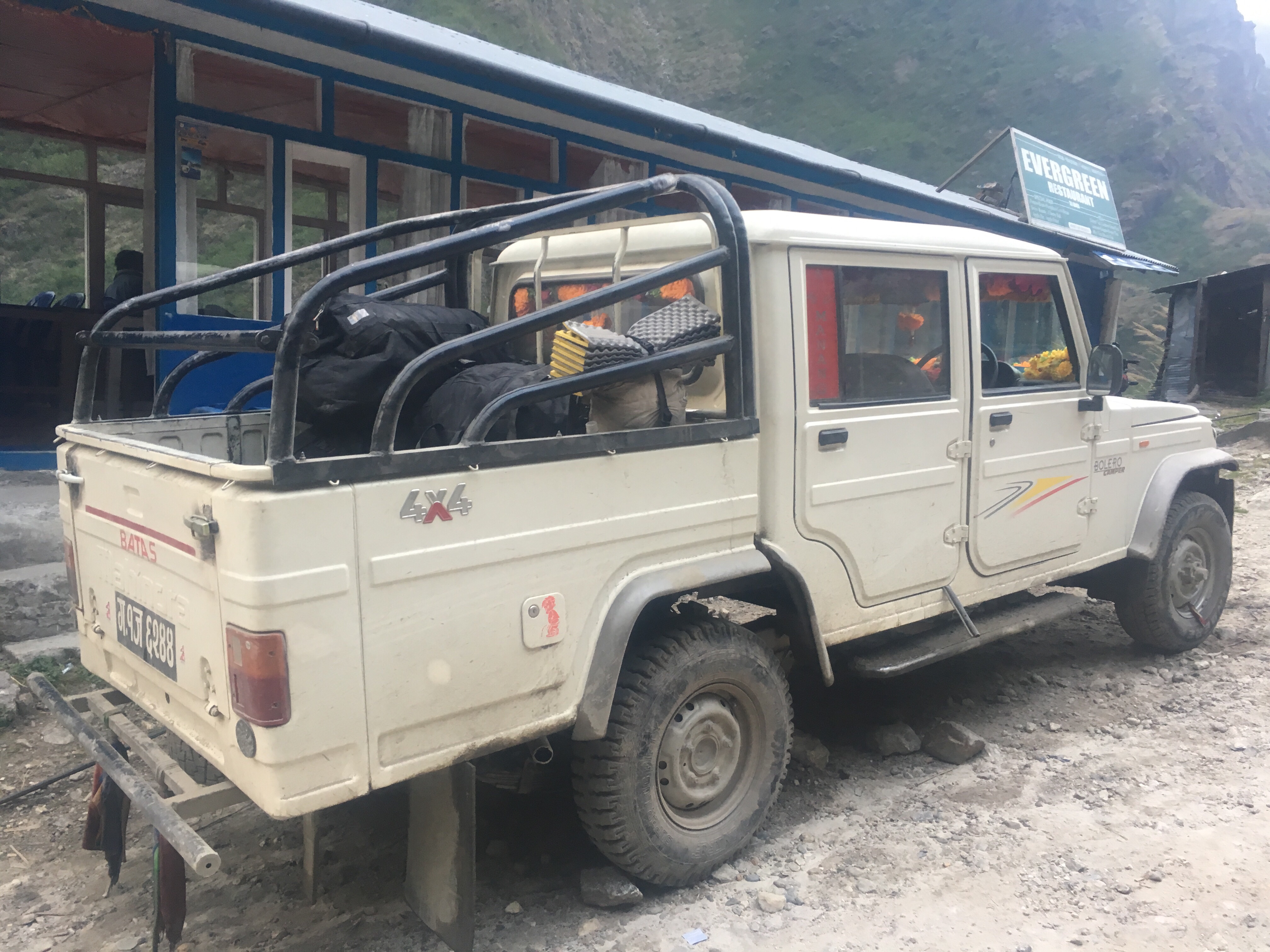
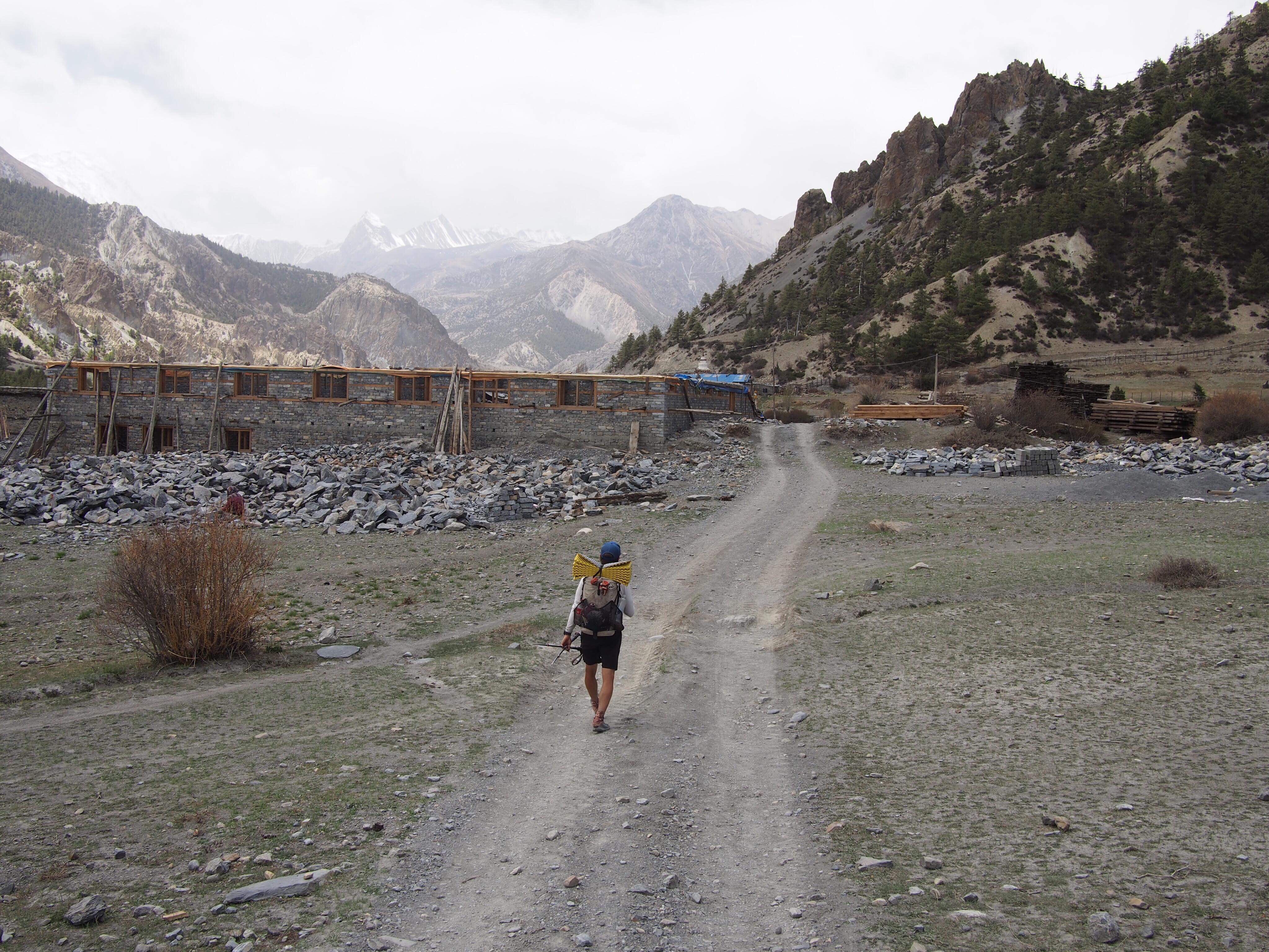
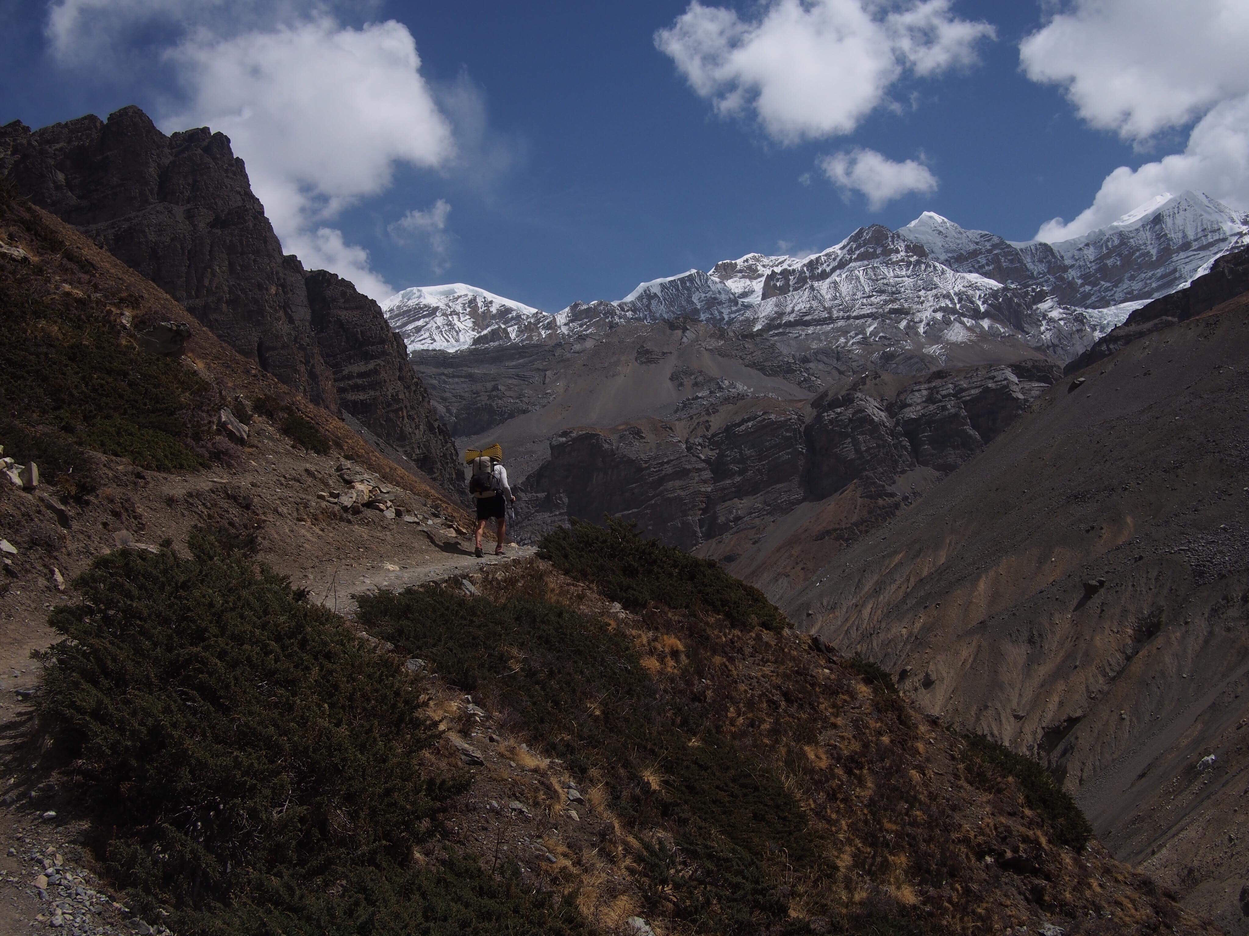
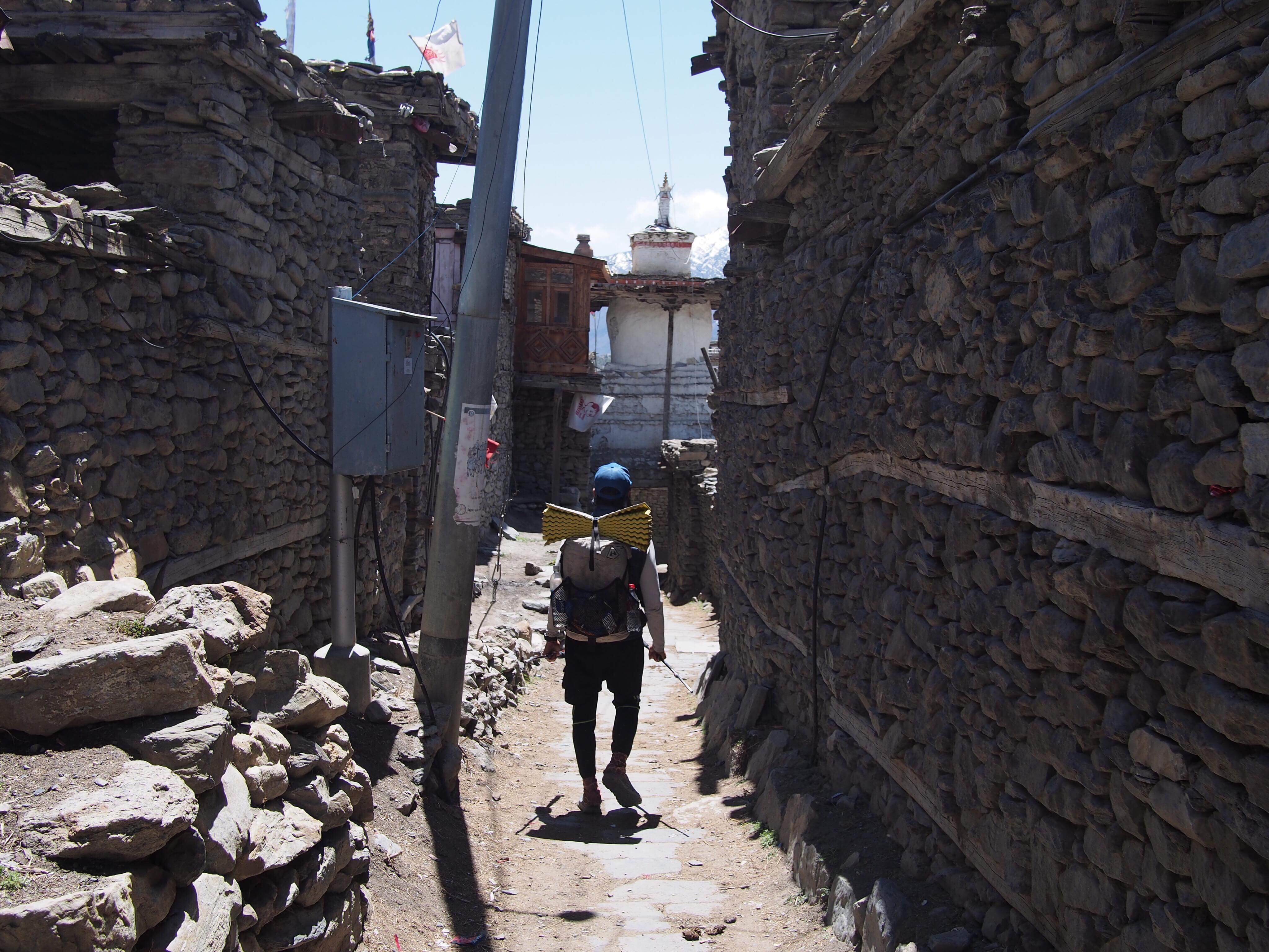 In just a few hours of walking quickly downhill we were back in Manang, the town where the trail meets the road and vice versa. We walked another couple hours and were just getting through the town of Humde when a Jeep pulled over with a deal for us: 8,000 rupees for the 8 hour ride to Besi Sahar. Deal! I’m only in Nepal for so long and I don’t need to see the same things twice.