
Day 72 7/10 Zero miles
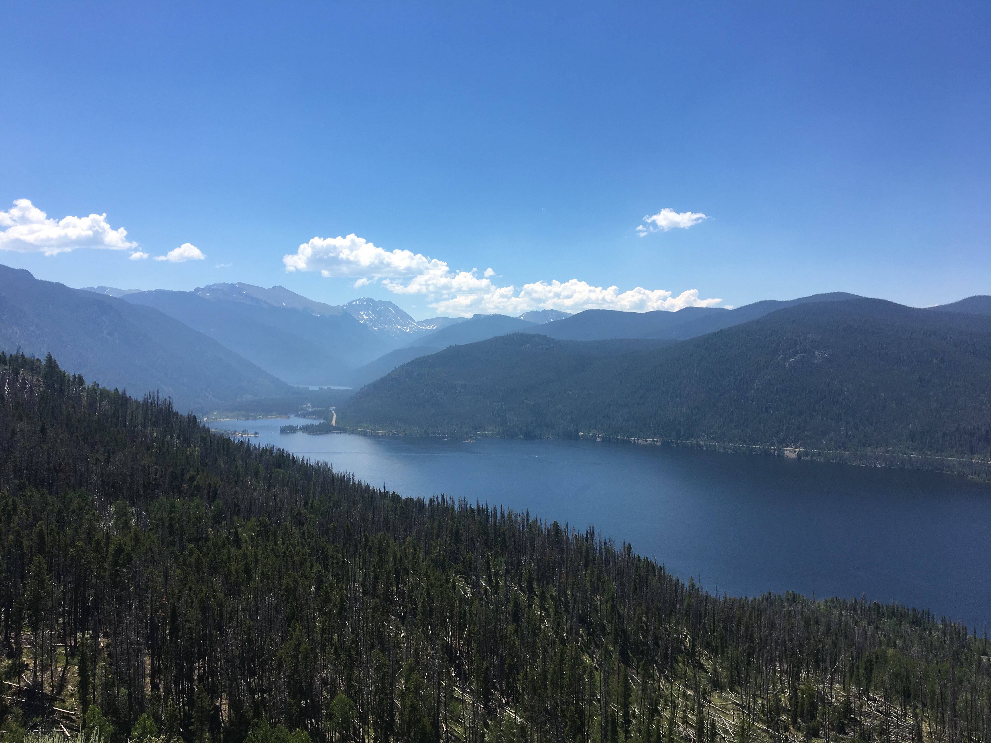
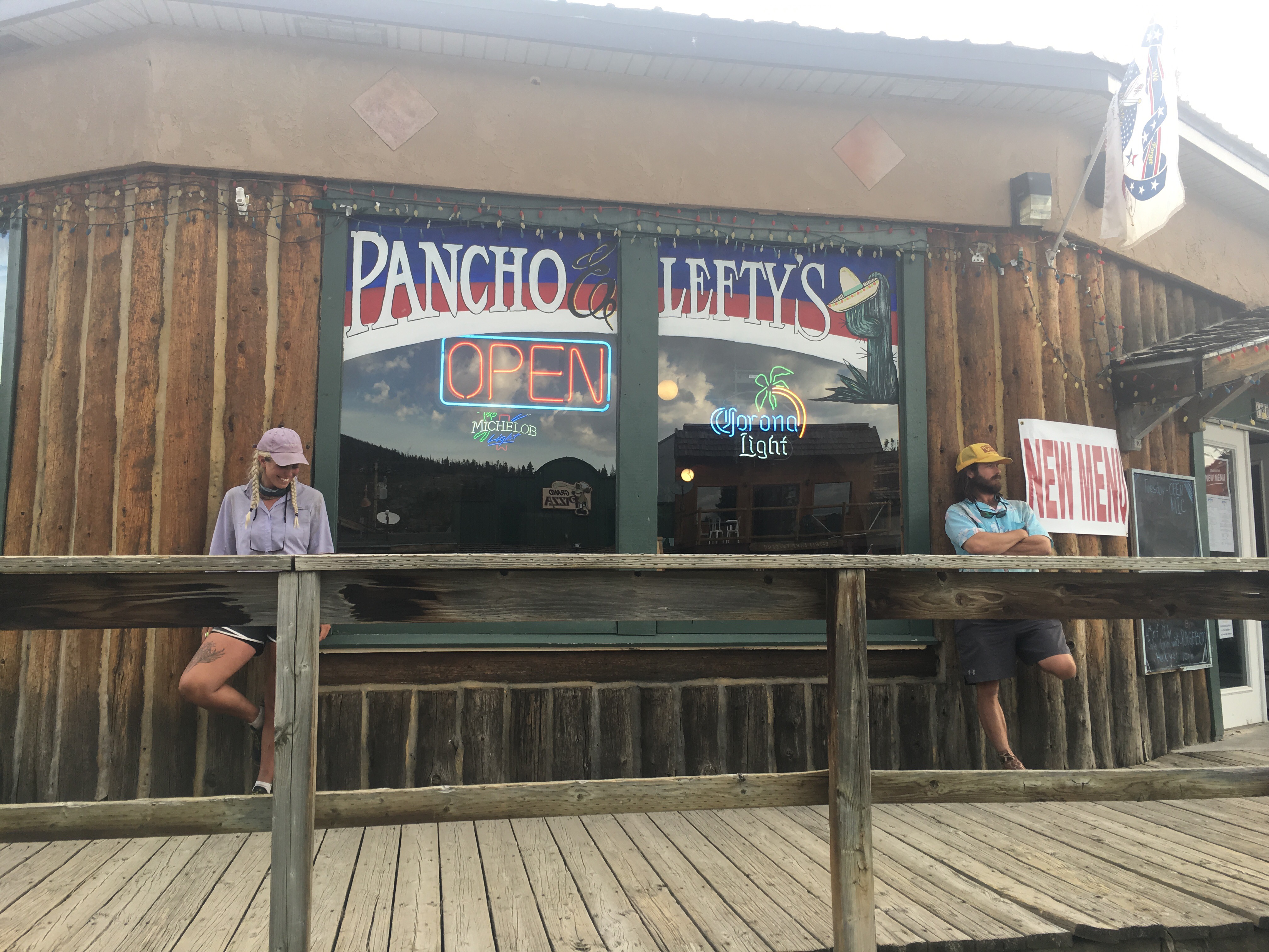
I spent the day in Steamboat relaxing, running errands, eating and not hiking. It was really nice. I’m not a big fan of taking zeroes because they’re just unproductive and 2 nights in town get expensive but Queen B and I have both been feeling pretty beat lately and wanted to take a day to rest in order to go into the Wyoming nice and fresh. While in town we had a few little hiker errands to take care of. In a couple hundred miles or so is a town where there really isn’t any amenities so in addition to the food resupply for the upcoming section, we had to buy food for the future and mail it to South Pass City. We also mailed home our ice axes and microspikes since we hopefully won’t be needing them again. When we took care of all our chores we spent the rest of the afternoon swimming in the Yampa river at Dr Rich Weiss Park. They’ve got hot springs there too, or more like warm springs, and they’re really nice. These are built up pools collecting runoff water from the resort hot springs across the street. I also ate tons of food today. I won’t bore you with the details but I stuffed my face. It was very nice to take a day off and just chill out. 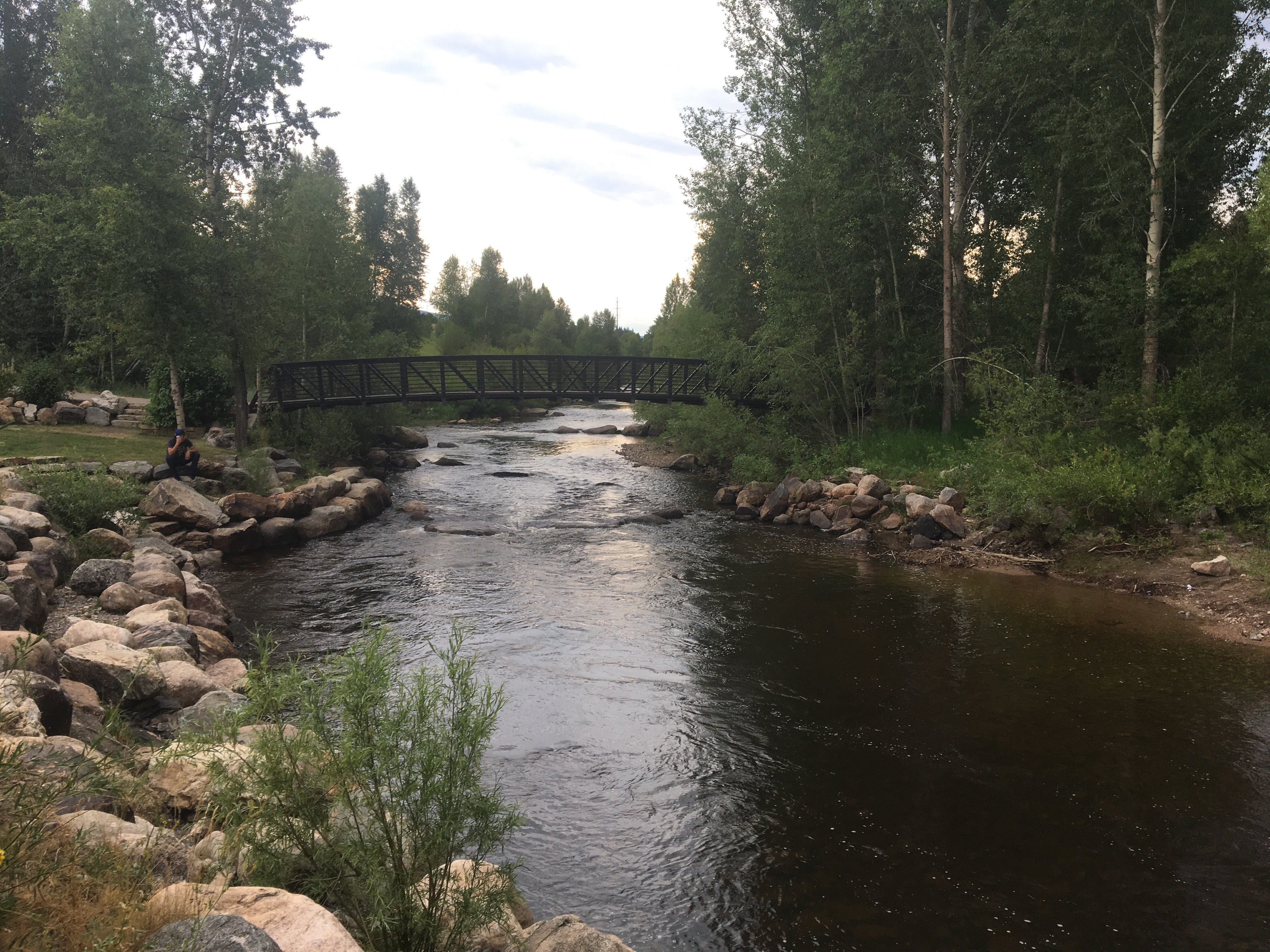 Swam here in the Yampa River
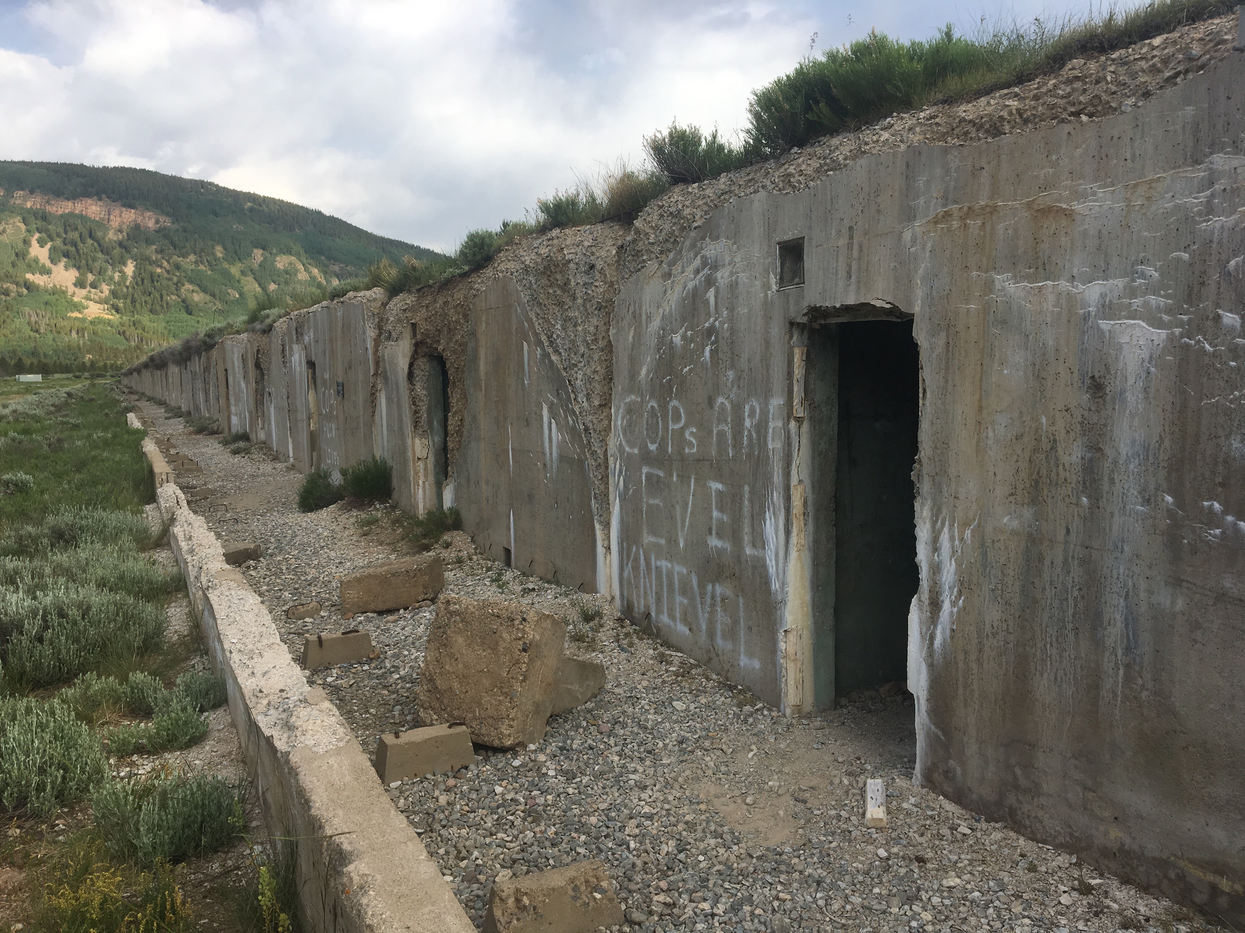
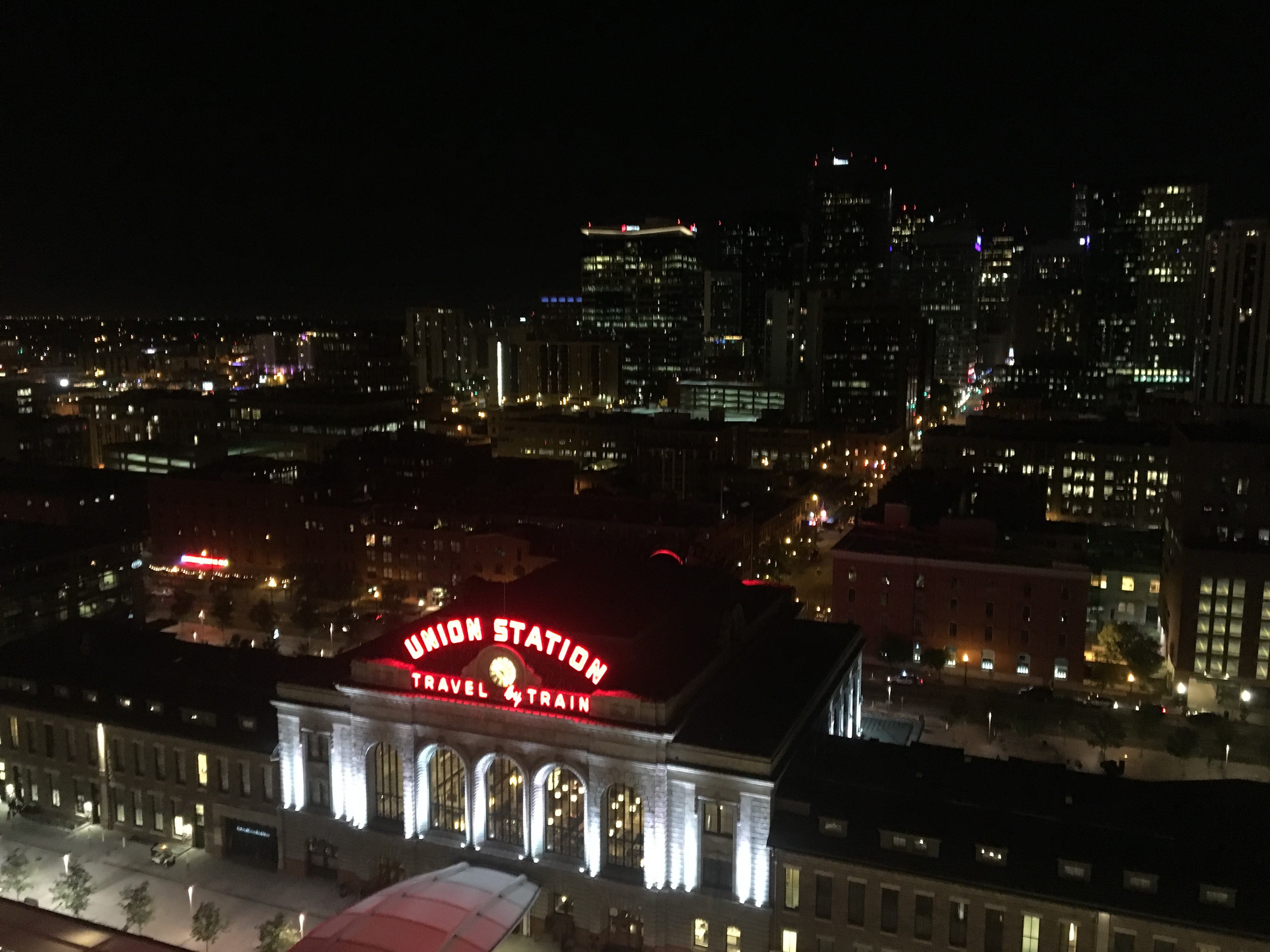
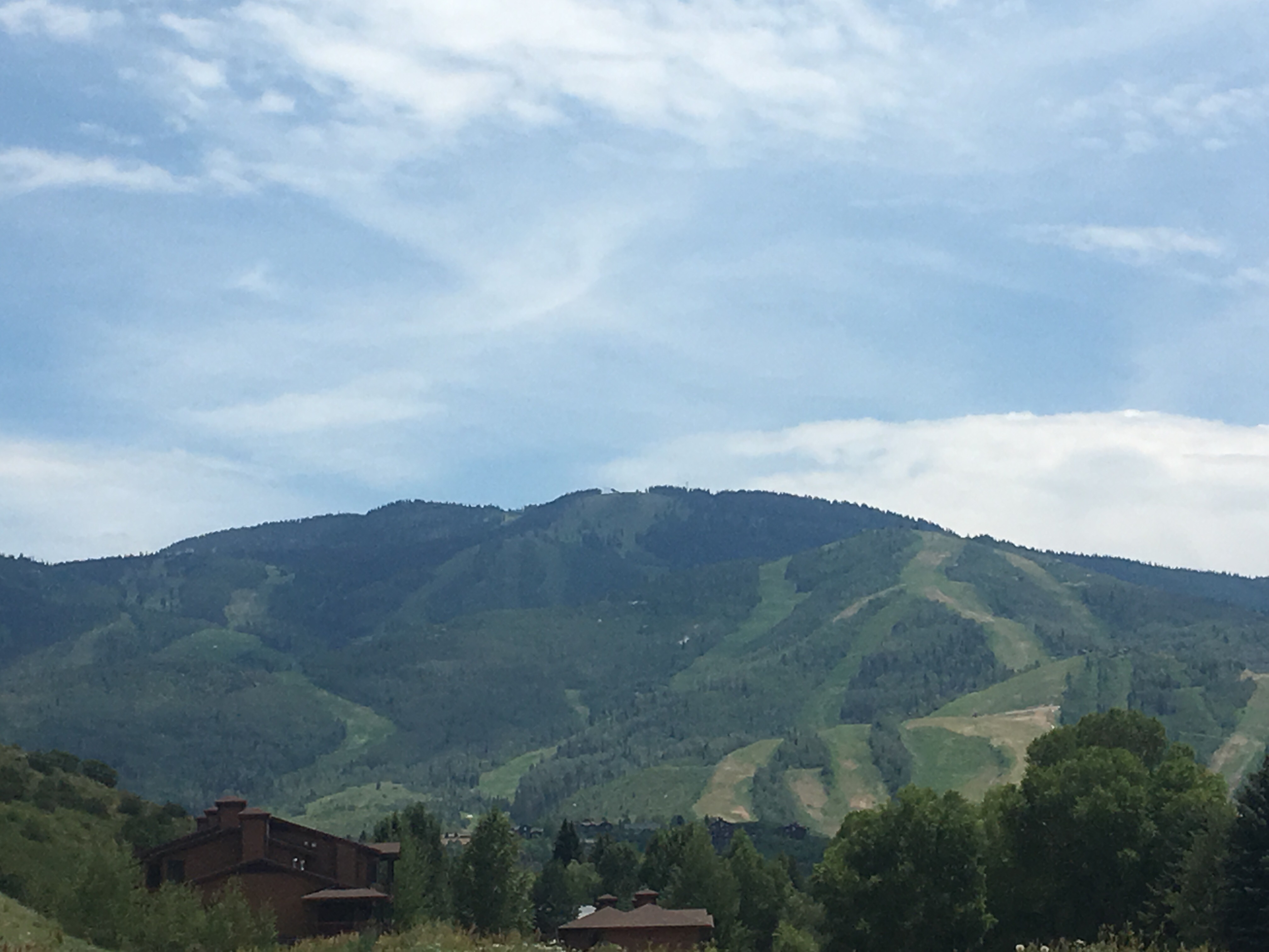 Steamboat looks a lot different in January
Day 73 7/11 20 miles
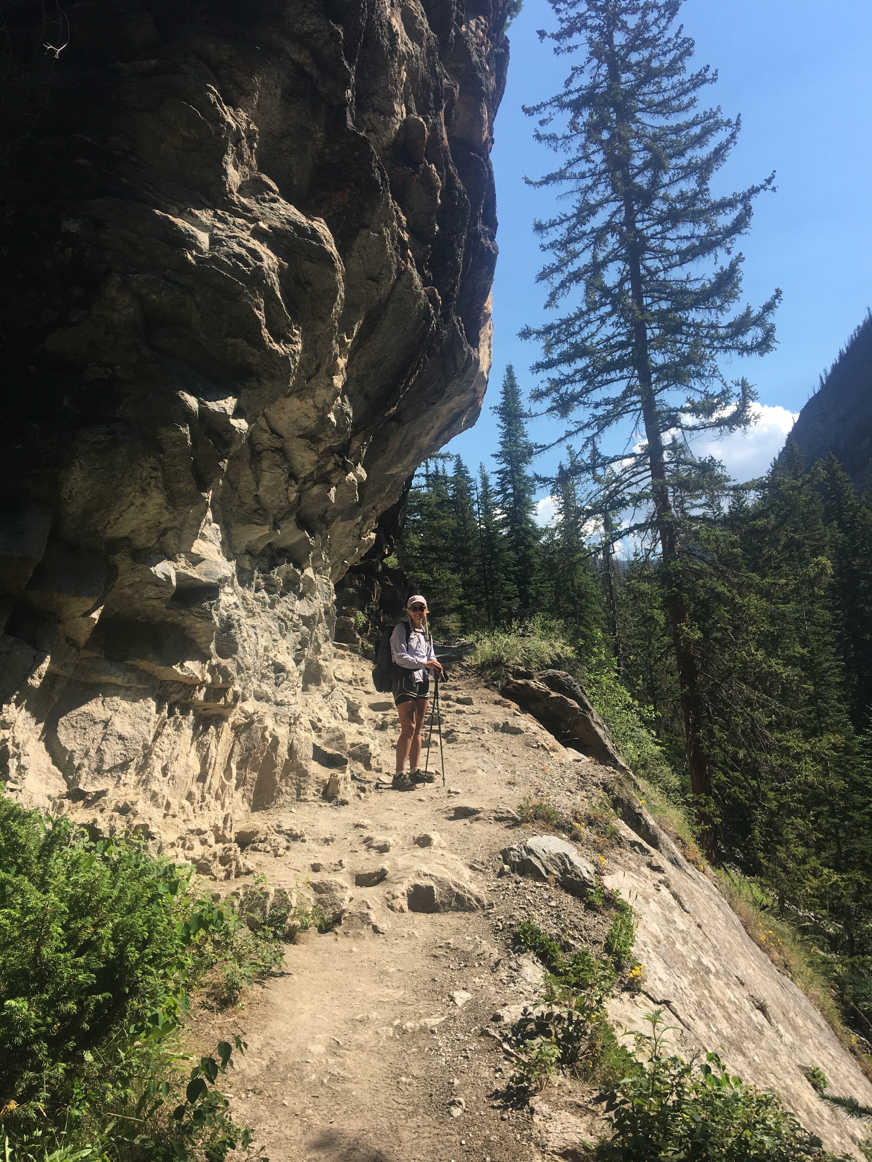
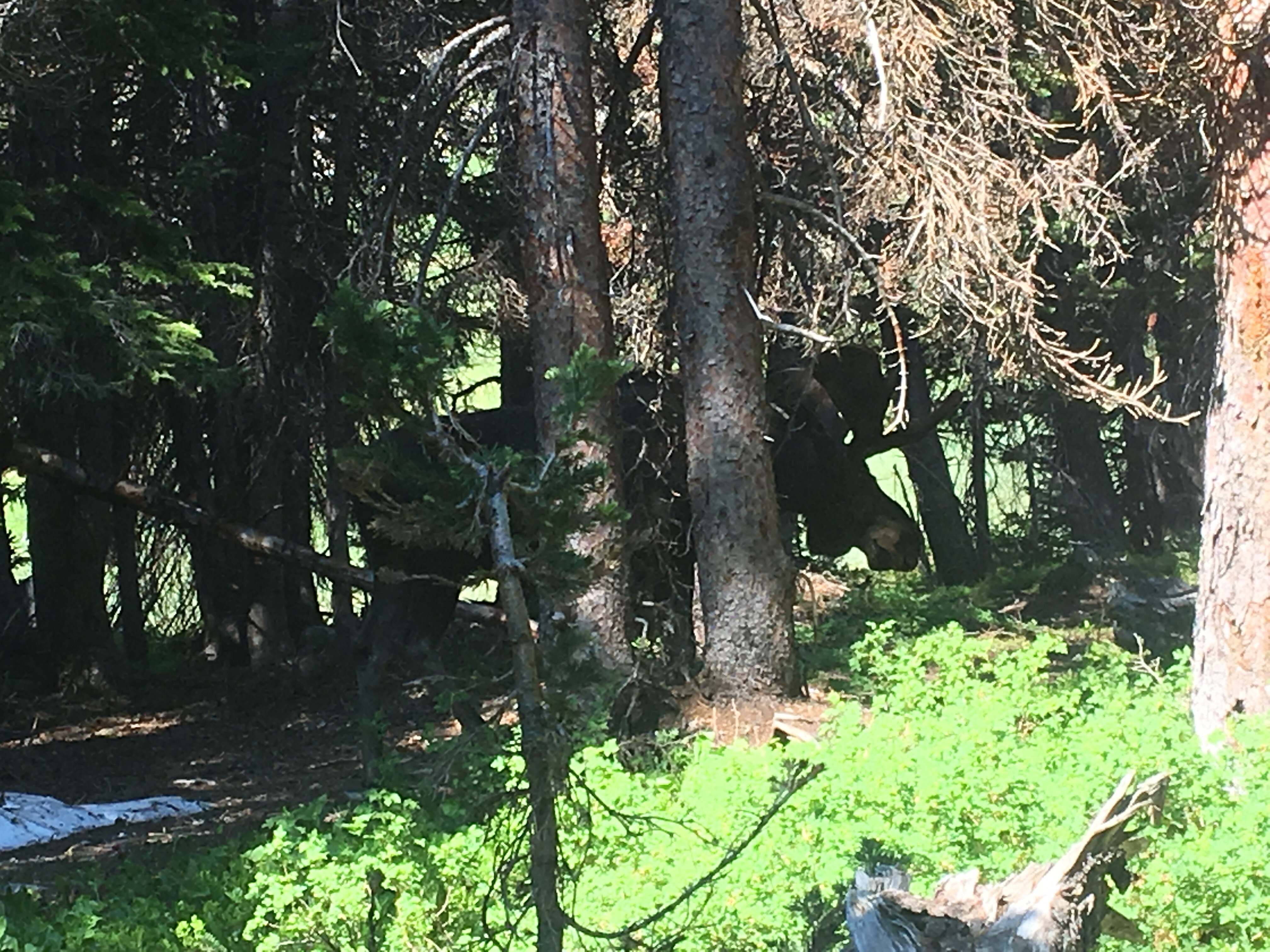
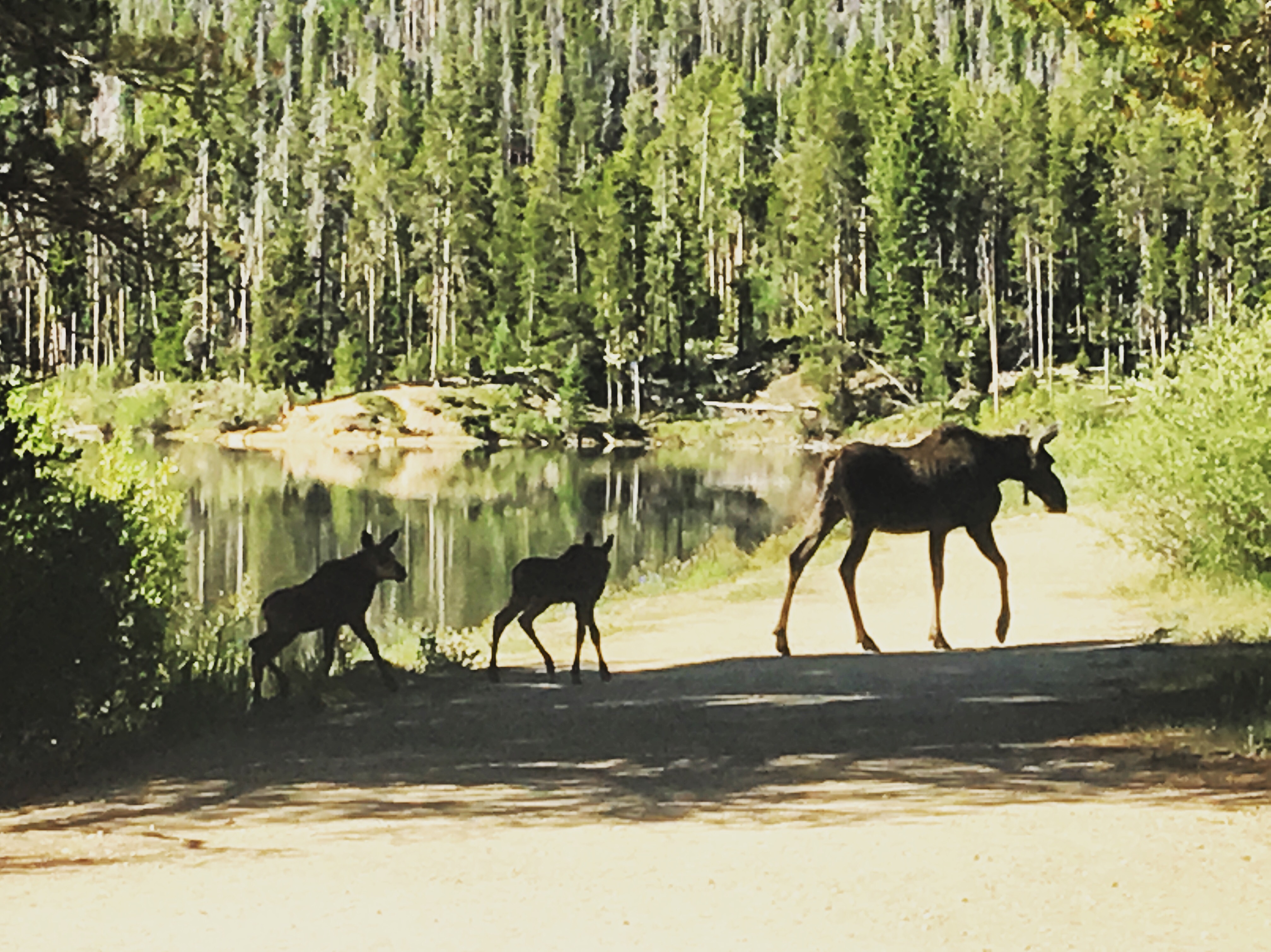
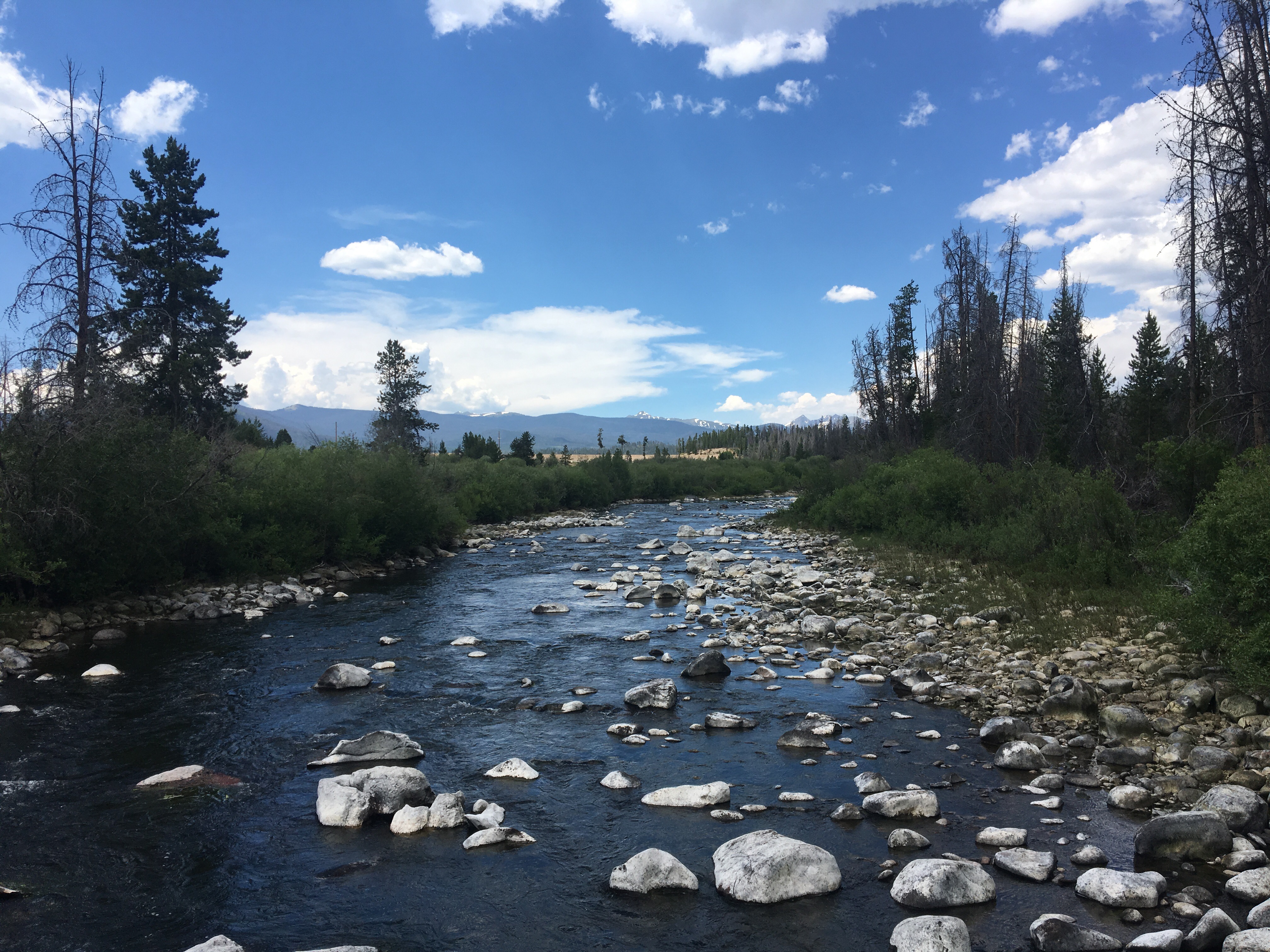
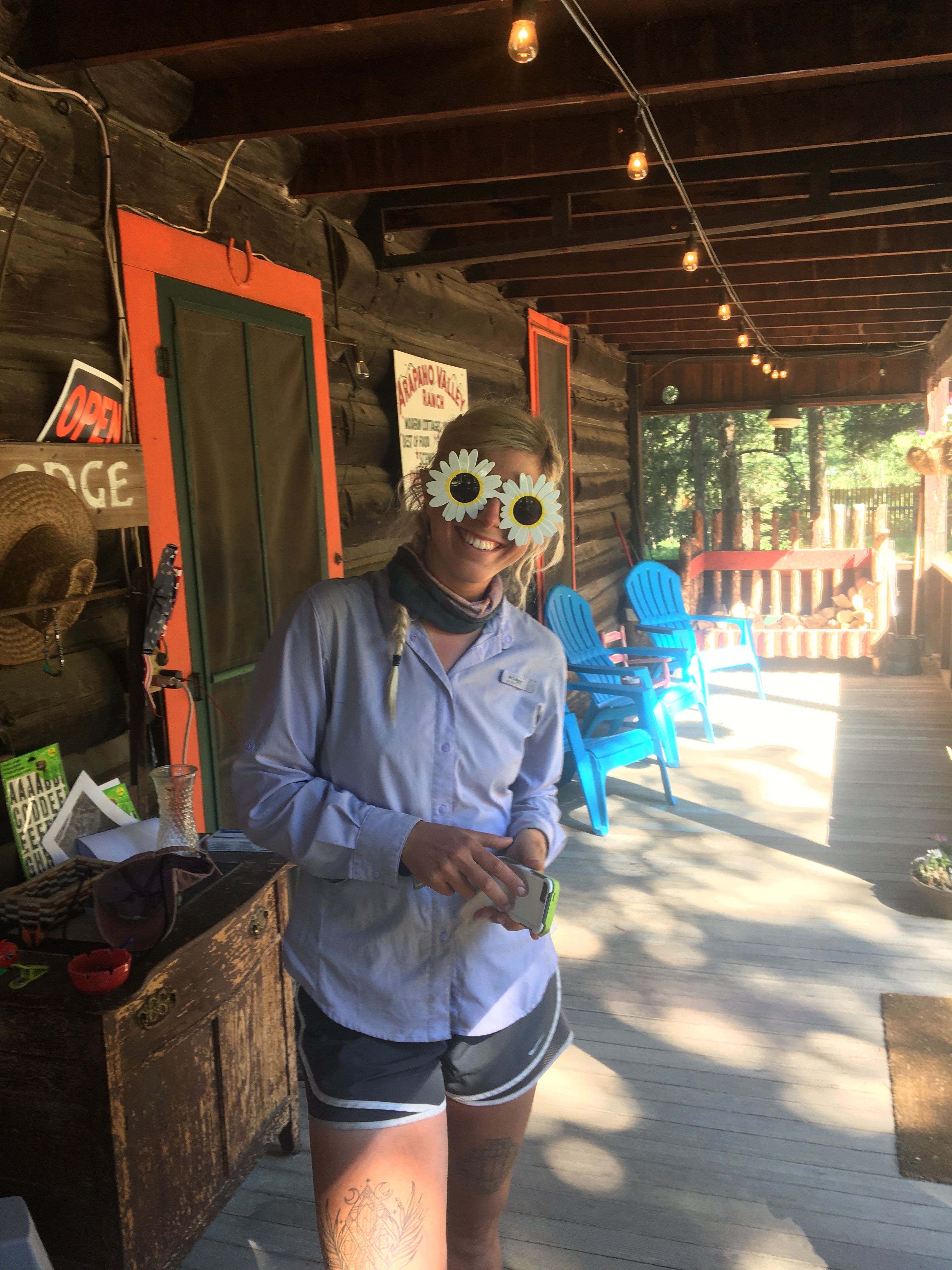
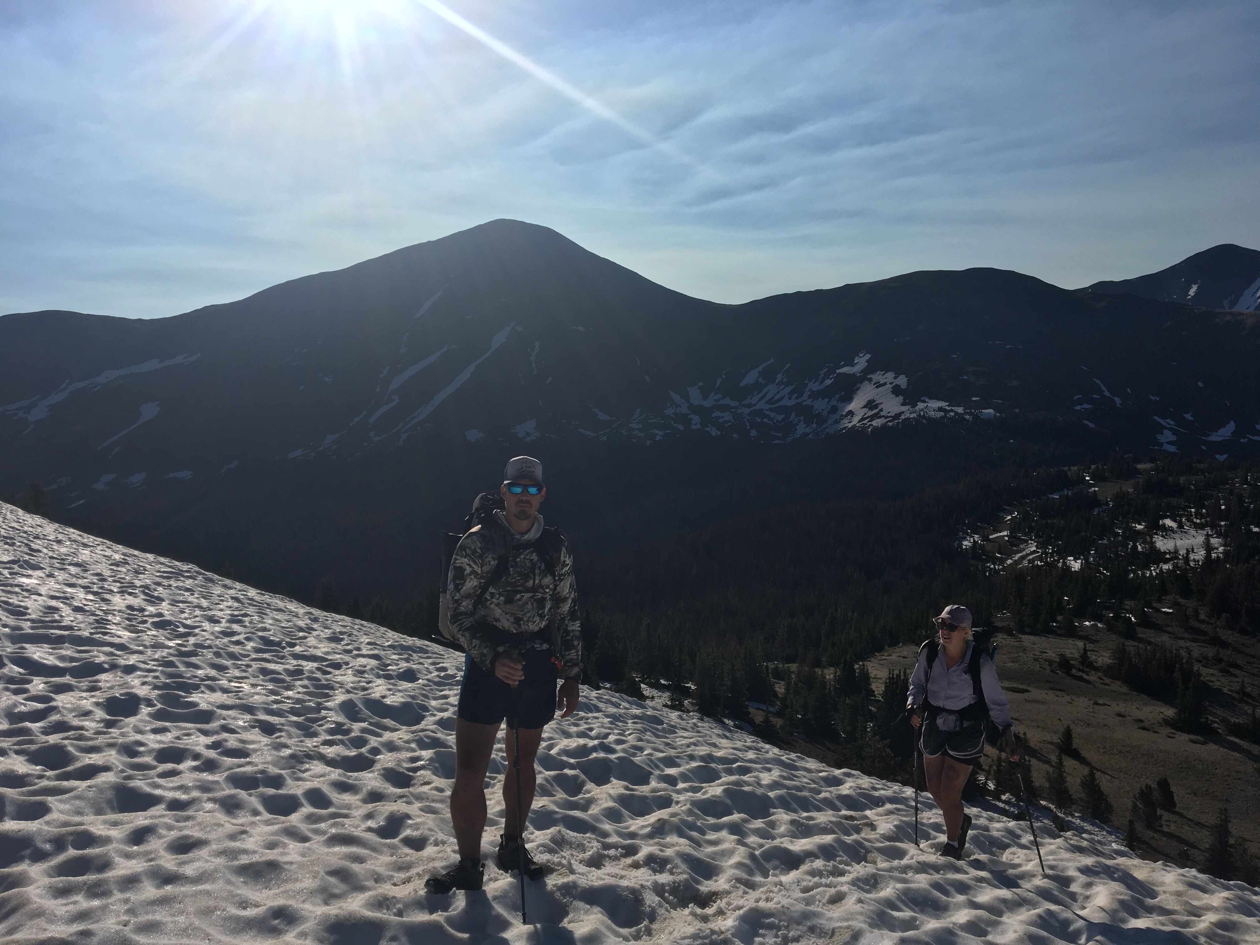
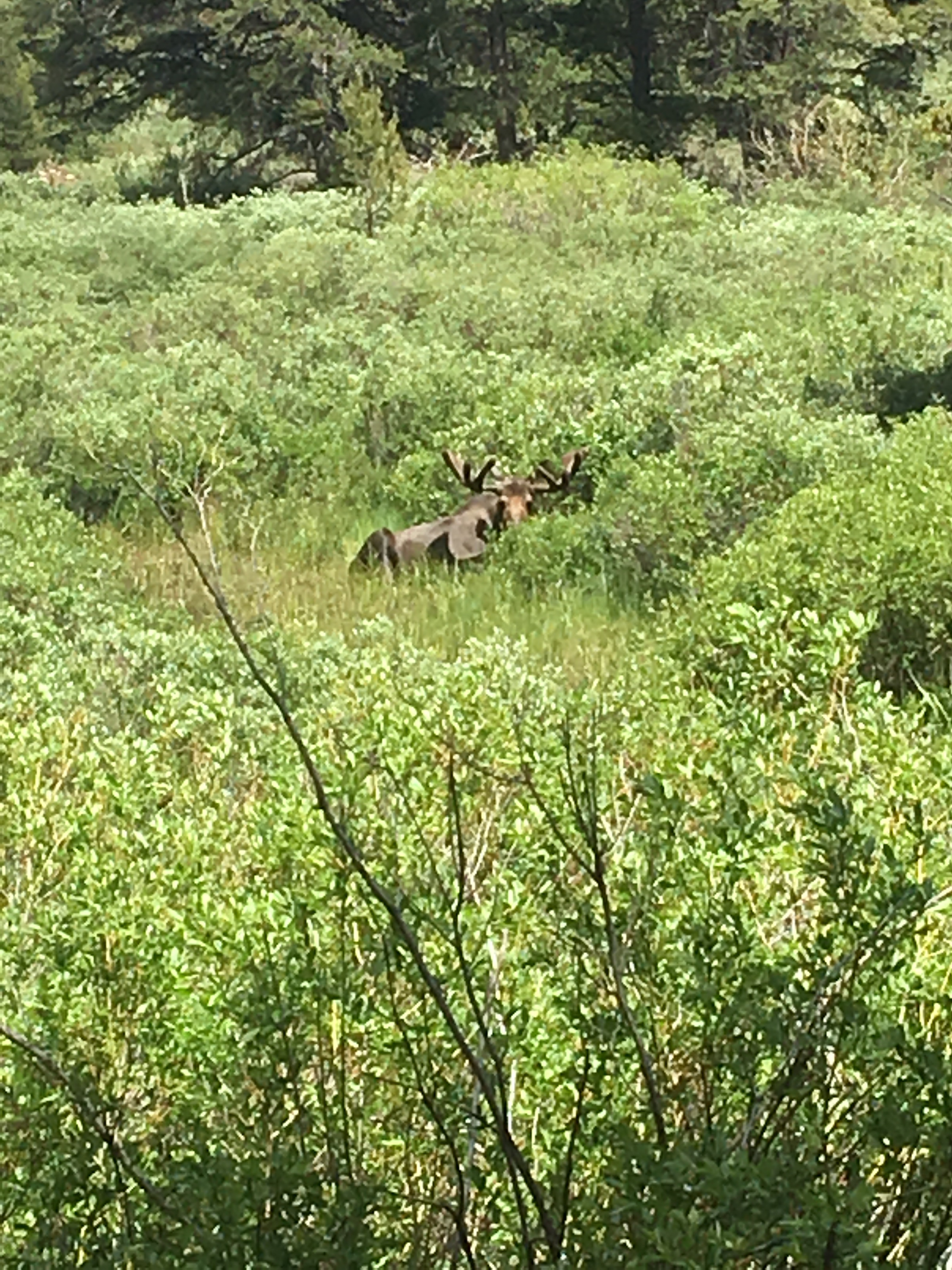
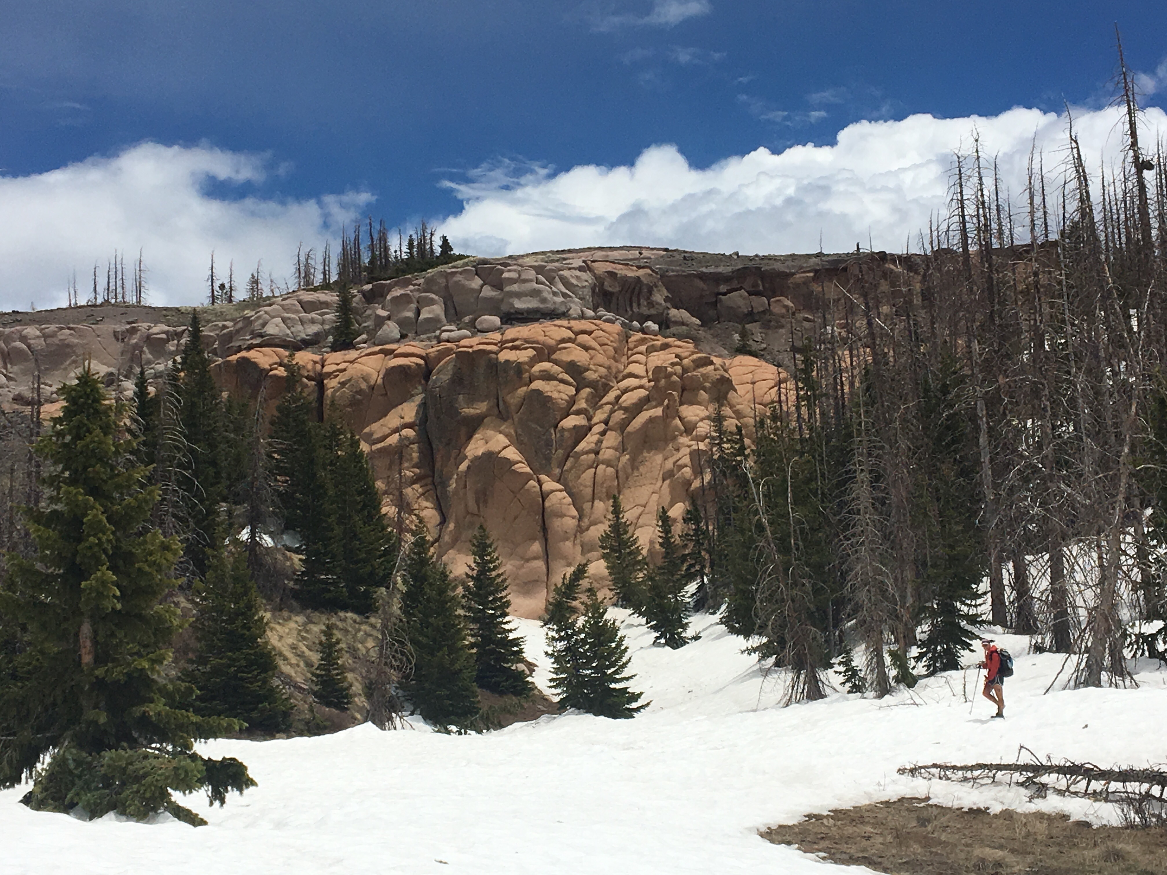
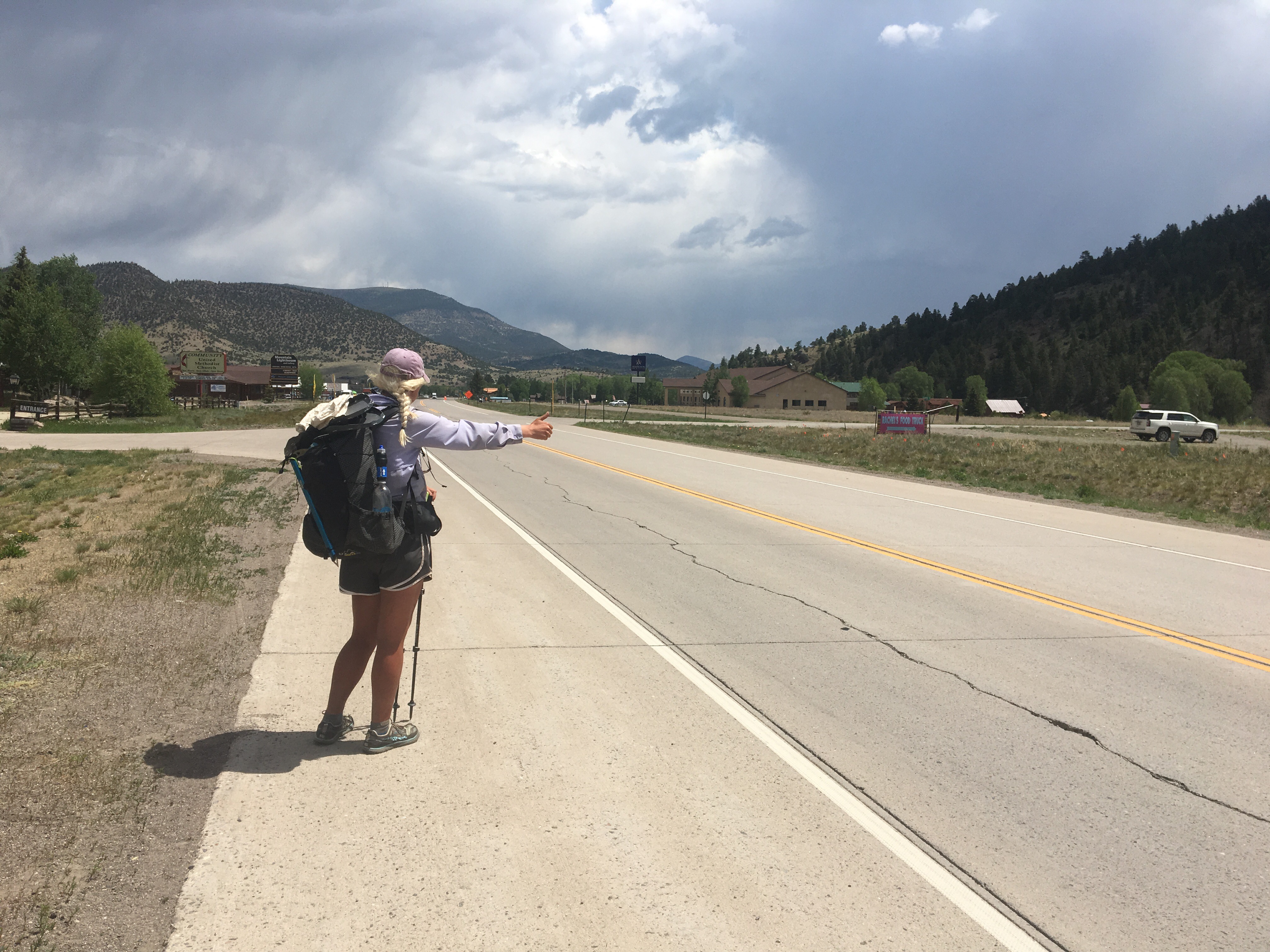
No hurry getting out of bed today so that was nice. Eventually we made our way down the street to McDonald’s for breakfast and I have to say that stuff is underrated. I know it’s hard to screw up breakfast and McDonald’s is no exception. We saw Roswell there and hung out with him for about an hour. I first met Roswell in Lordsburg and he’s been popping up every once in awhile since then. He was modeling a new pair of shorts he just picked up at the Wal-Mart next door and since my shorts were on life support I decided I too should upgrade my wardrobe. So I did. I also needed to get some more sunscreen because this pair was considerably shorter than my old pair and exposed my fish belly thighs. From Wally World we walked over to the highway and started hitching in order to return to the trail. I figured with my new shorts I would immediately hear a bunch of cars screeching to a stop but this wasn’t exactly the case. After about 20 minutes Karen Sue pulled over and gave me and QB a ride all the way back to where we left off the other day. She was totally cool and went way out of her way to bring us back. Once on trail we pretty much crushed it the rest of the day. It was almost 1pm when we returned but we still managed to hike 20 miles. The trail was relatively flat and relaxing and cut through forest for most of the afternoon and evening. At one point we rounded a corner and saw 3 big old moose looking back at us and shortly after that saw another moose way out in the middle of a lake. There is so many moose in Colorado. This evening we crossed into the Zirkel wilderness and found a place to camp right as it began raining.  I saw 22 moose in Colorado. Anymore and I would have stopped counting
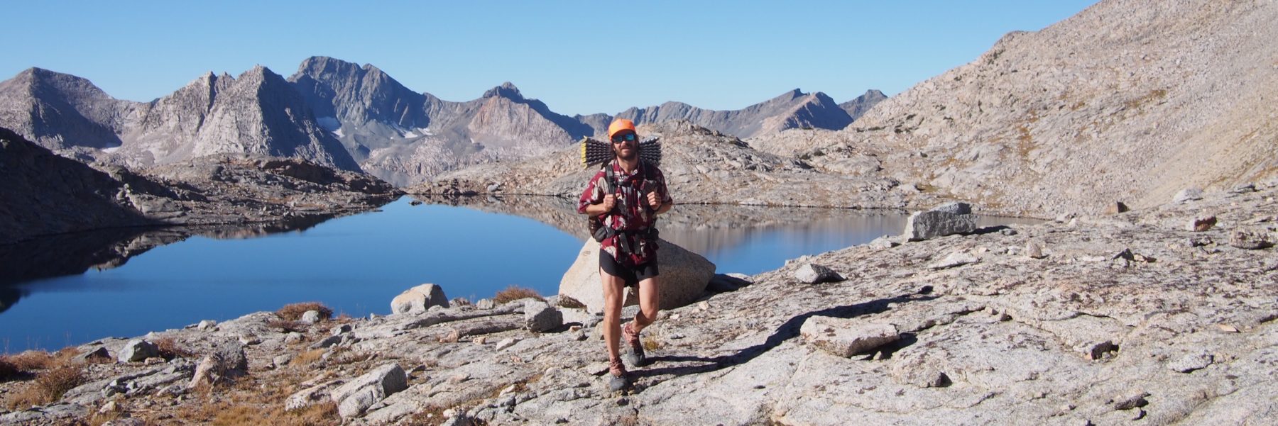
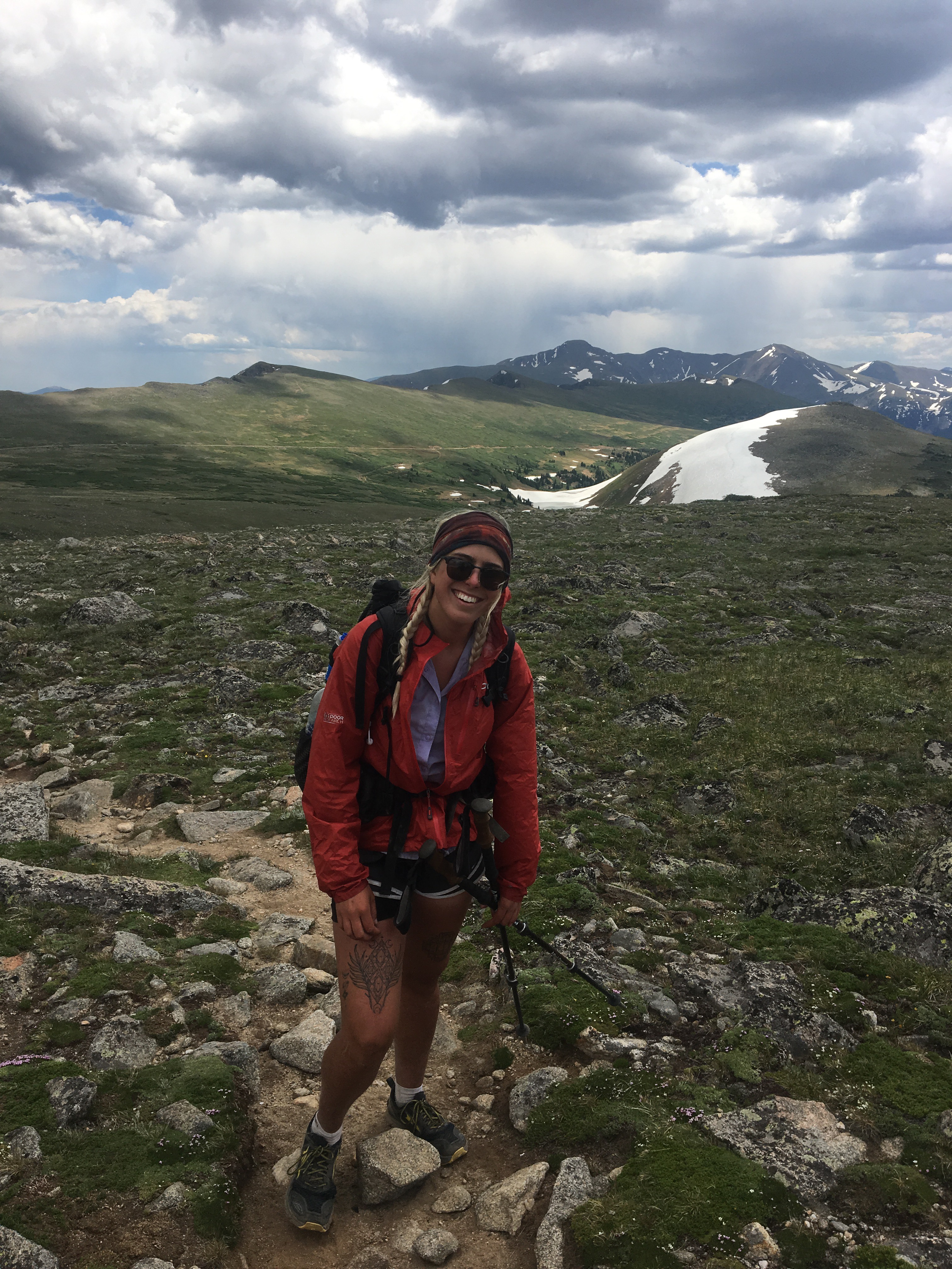
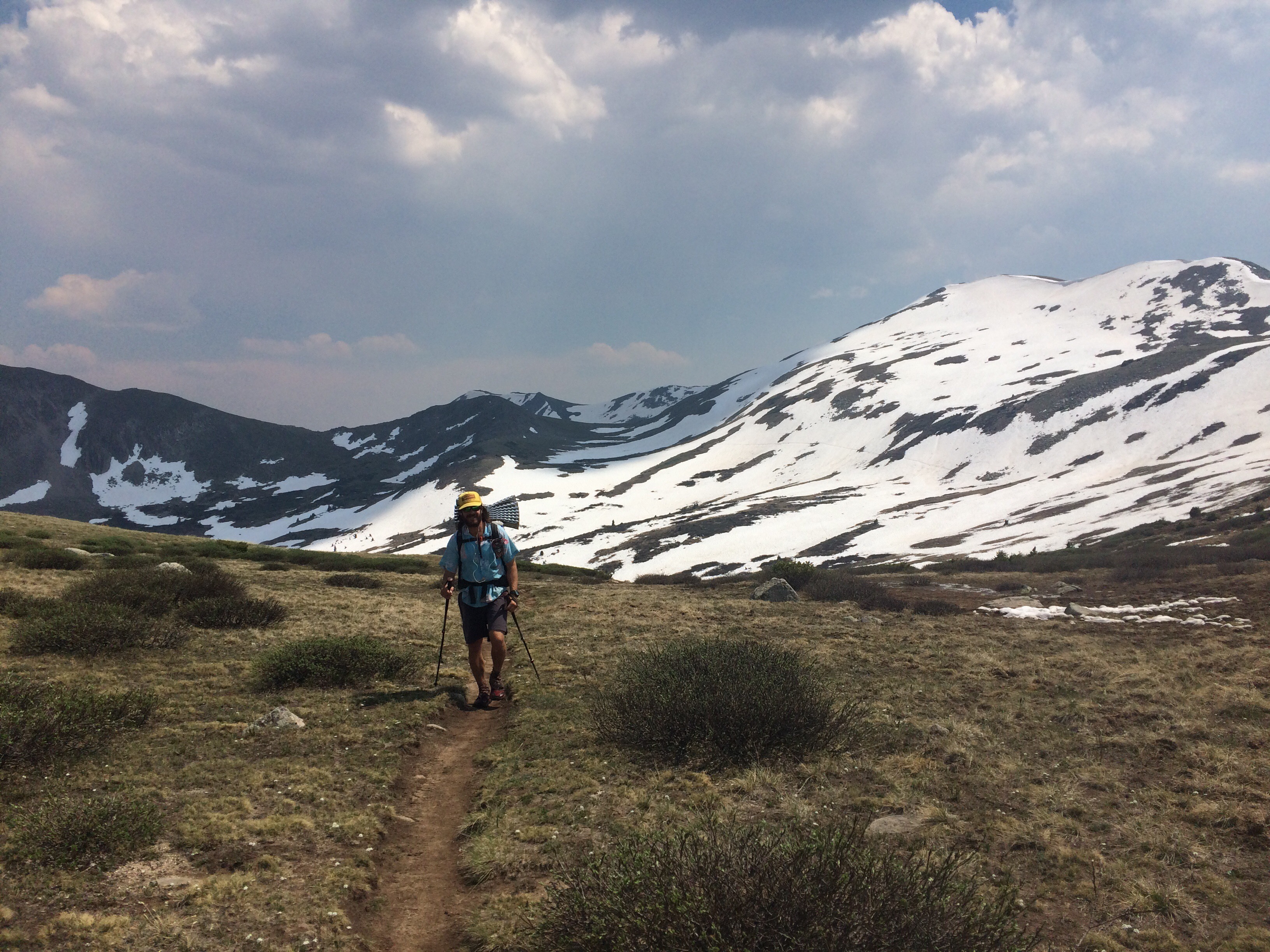
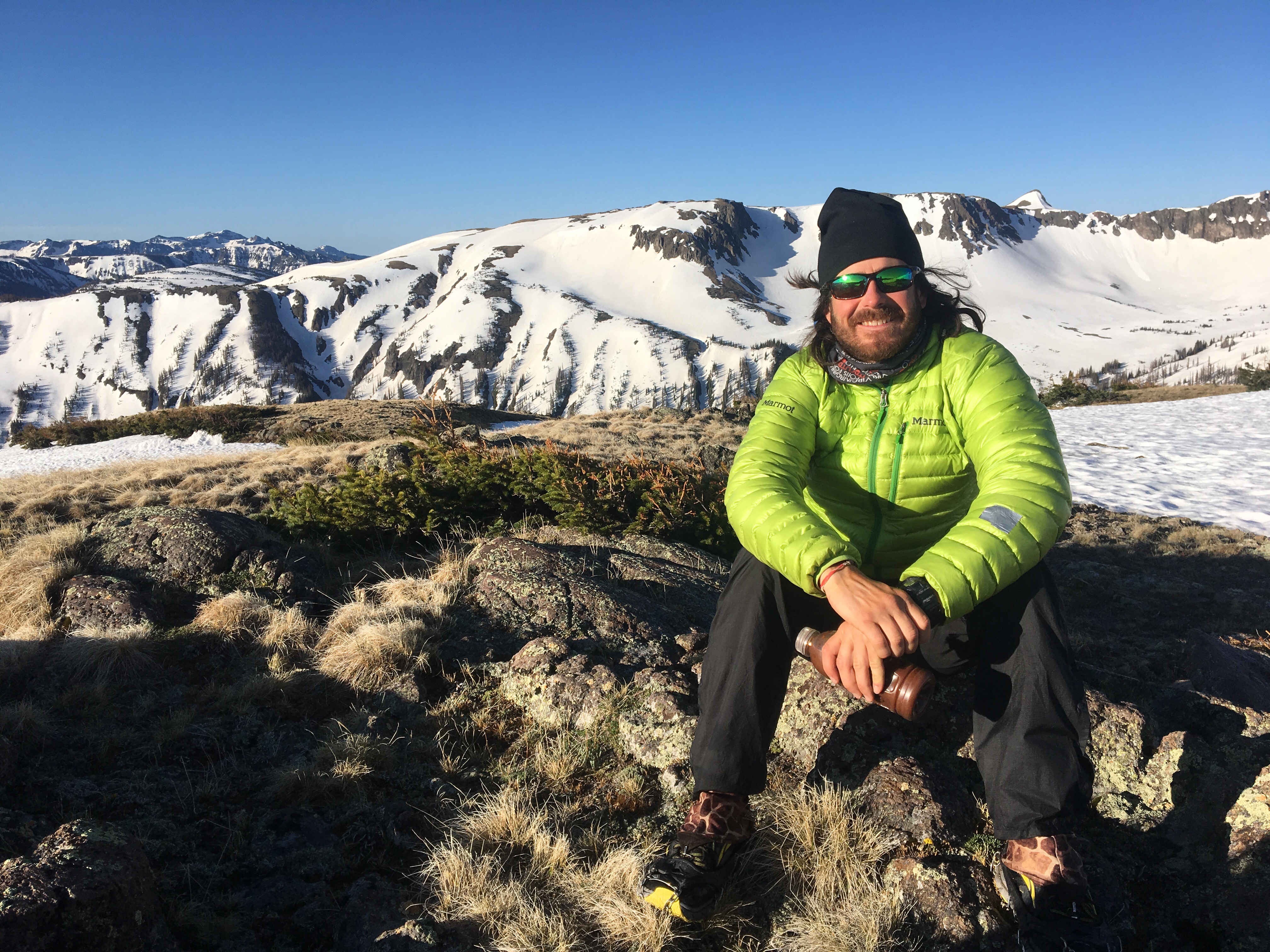
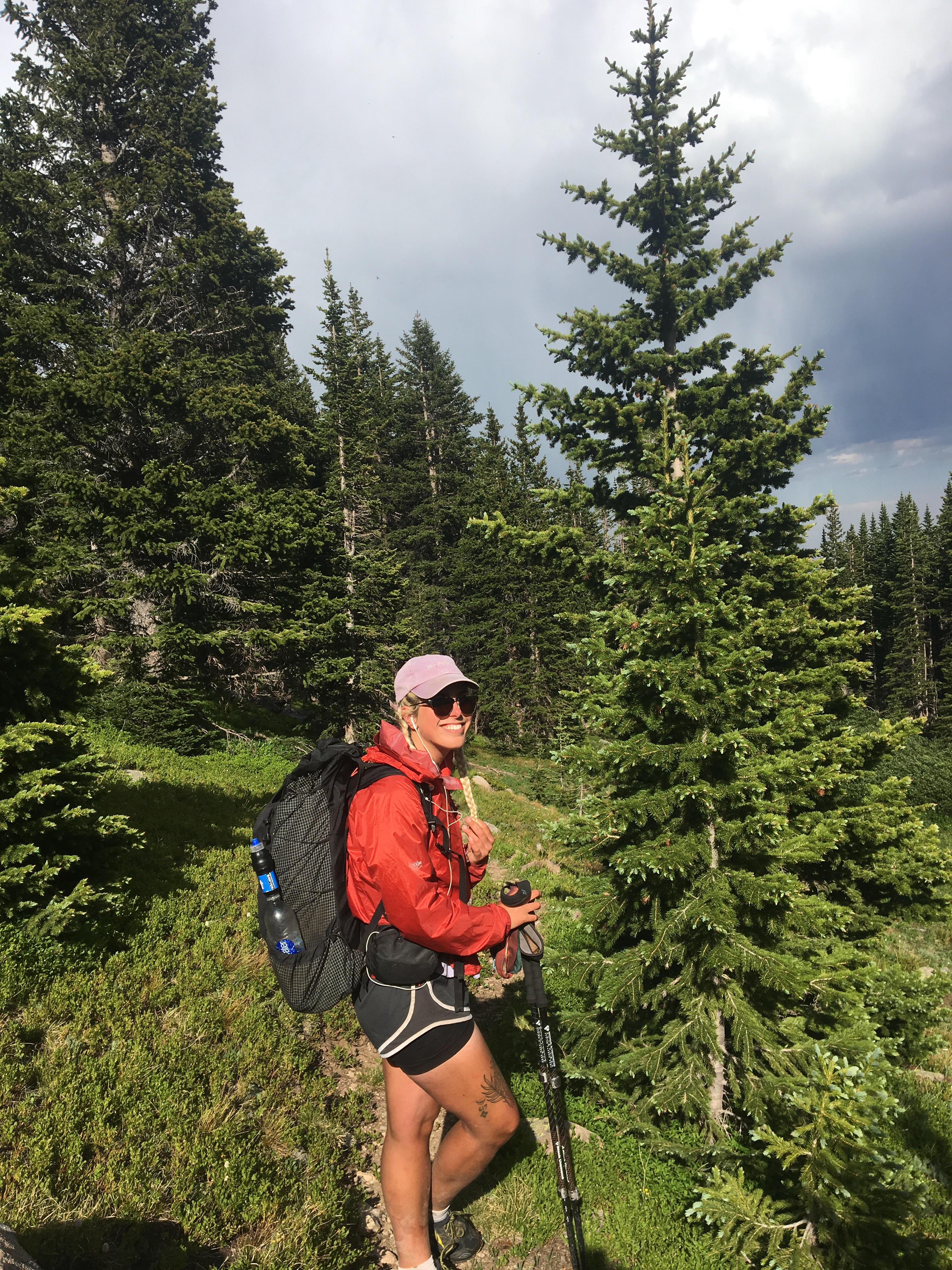
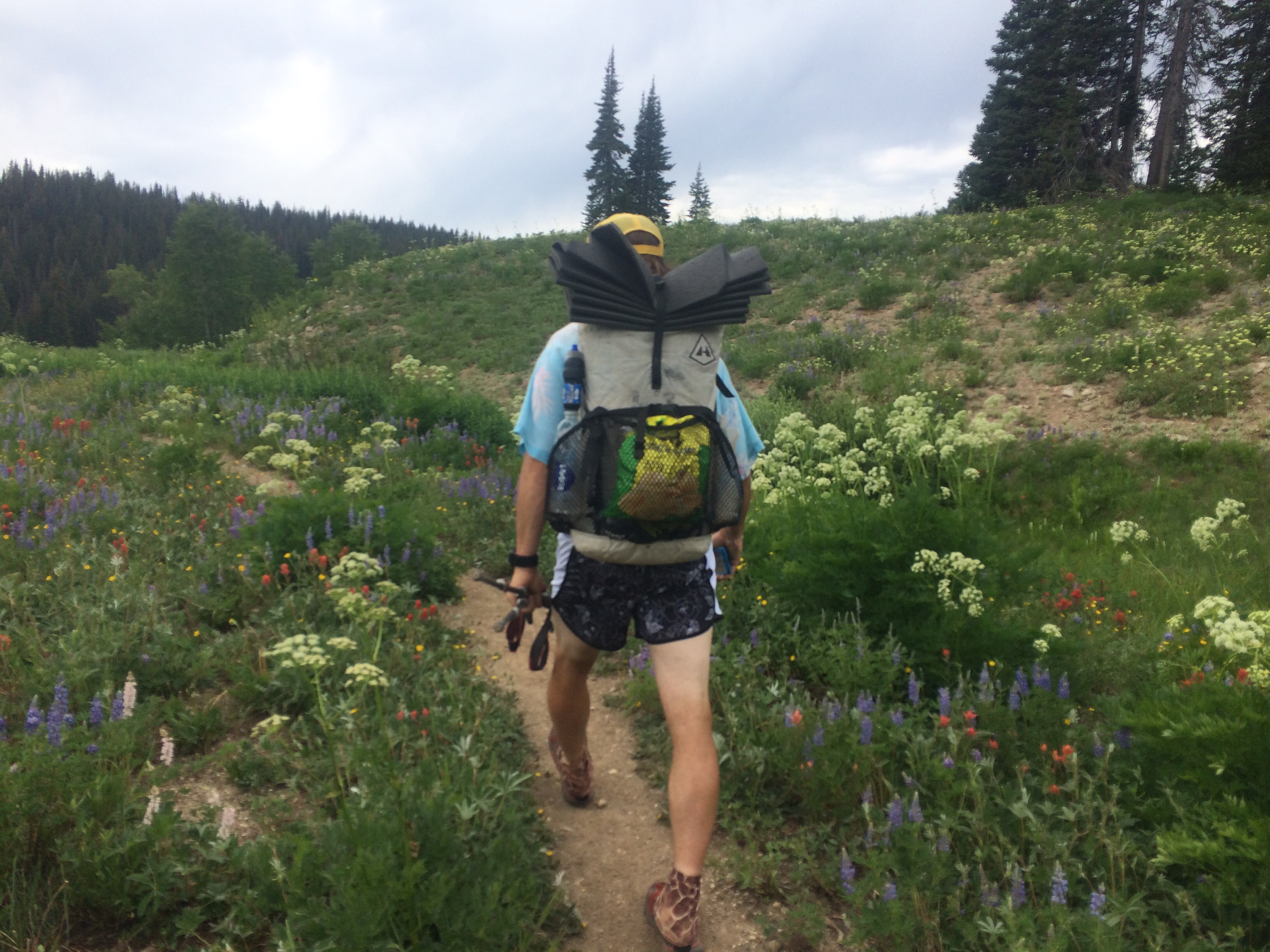 new shorts have me exposing a little more leg than I’m used to
Day 74 7/12 33 miles
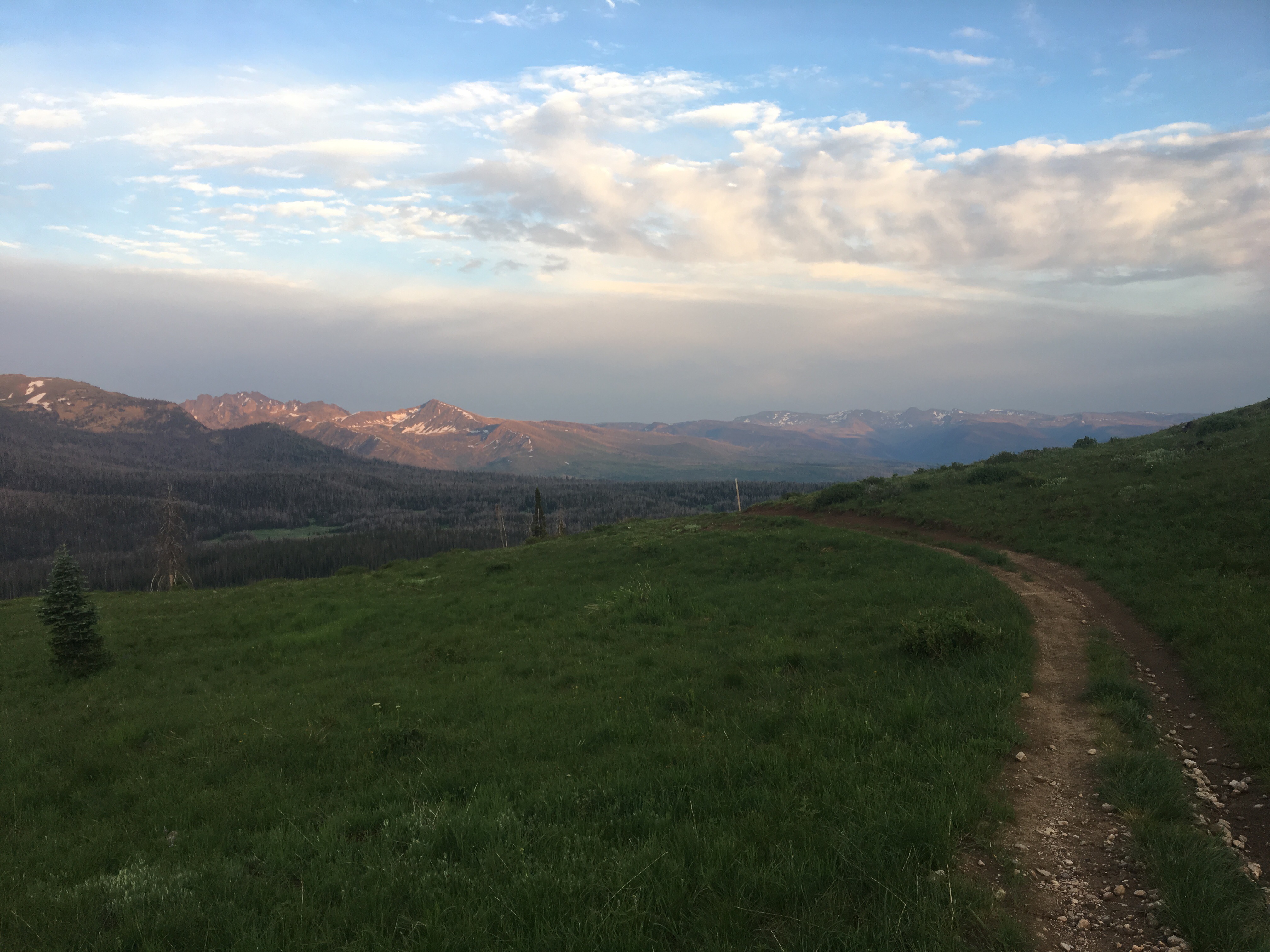
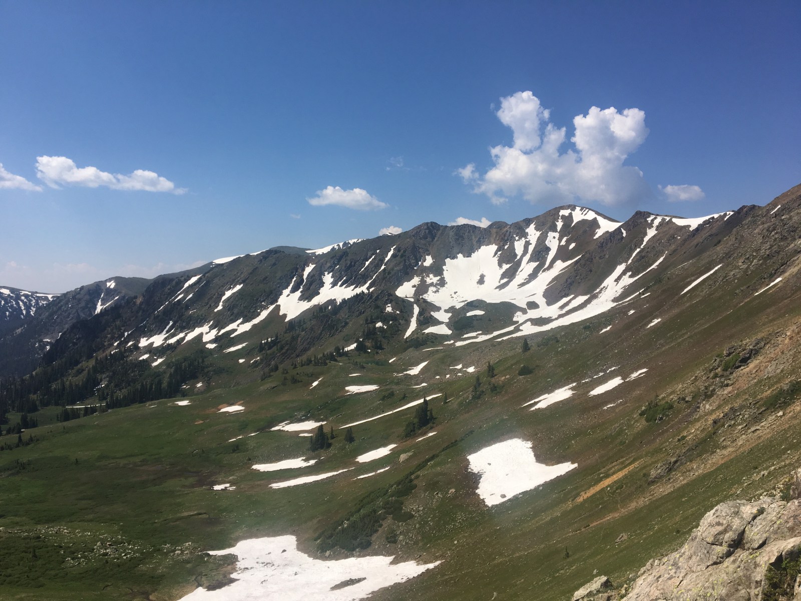
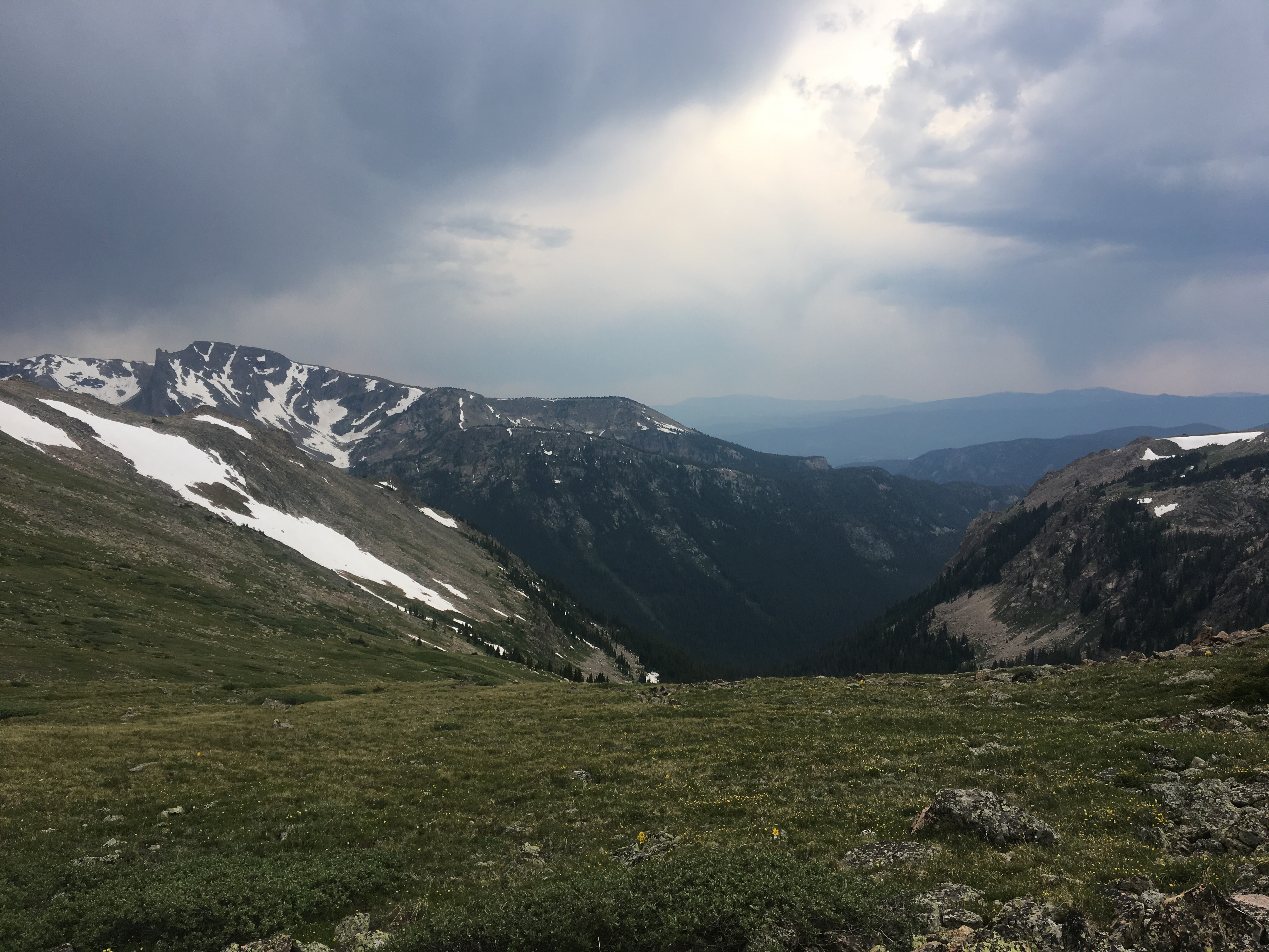
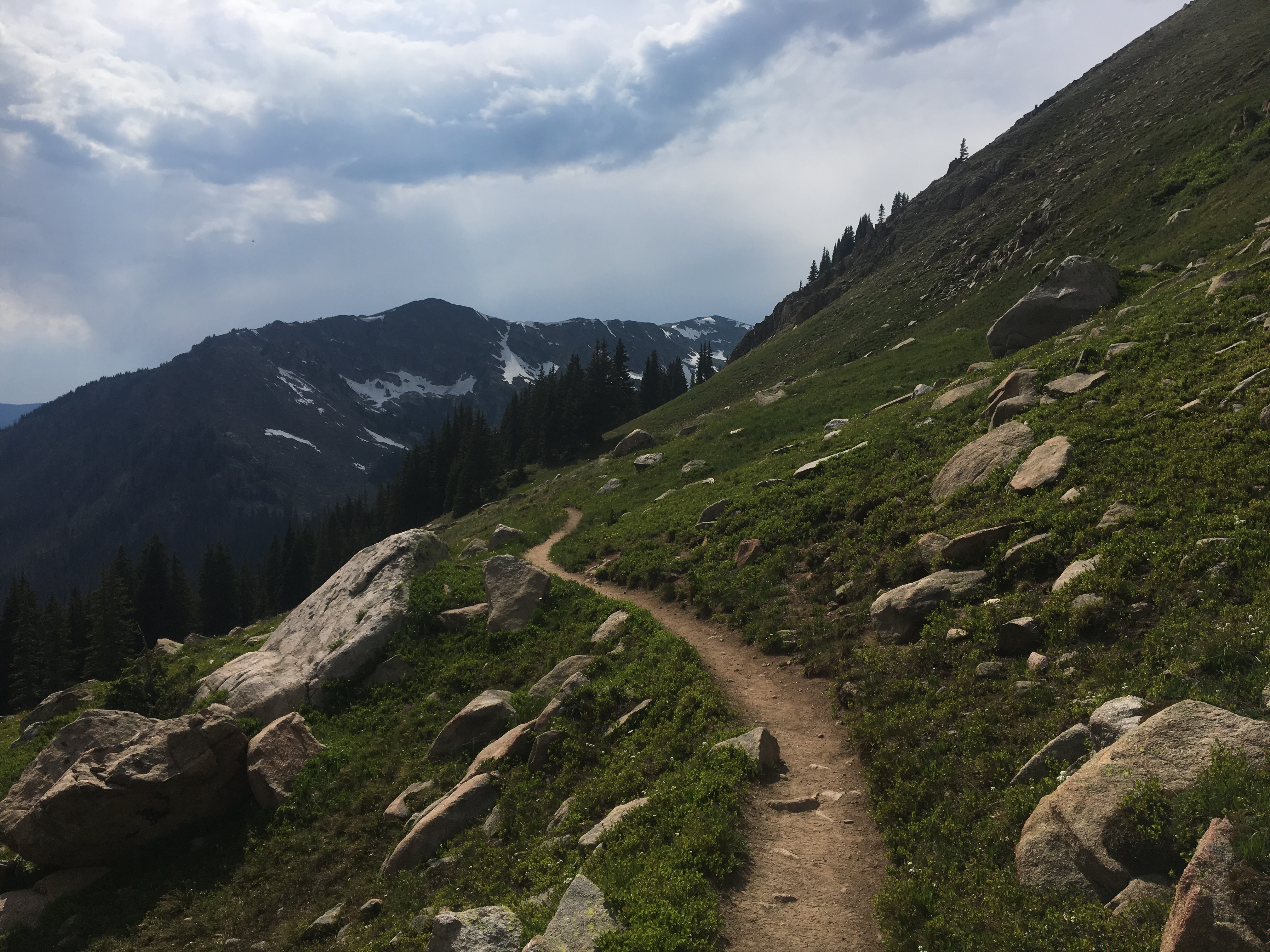
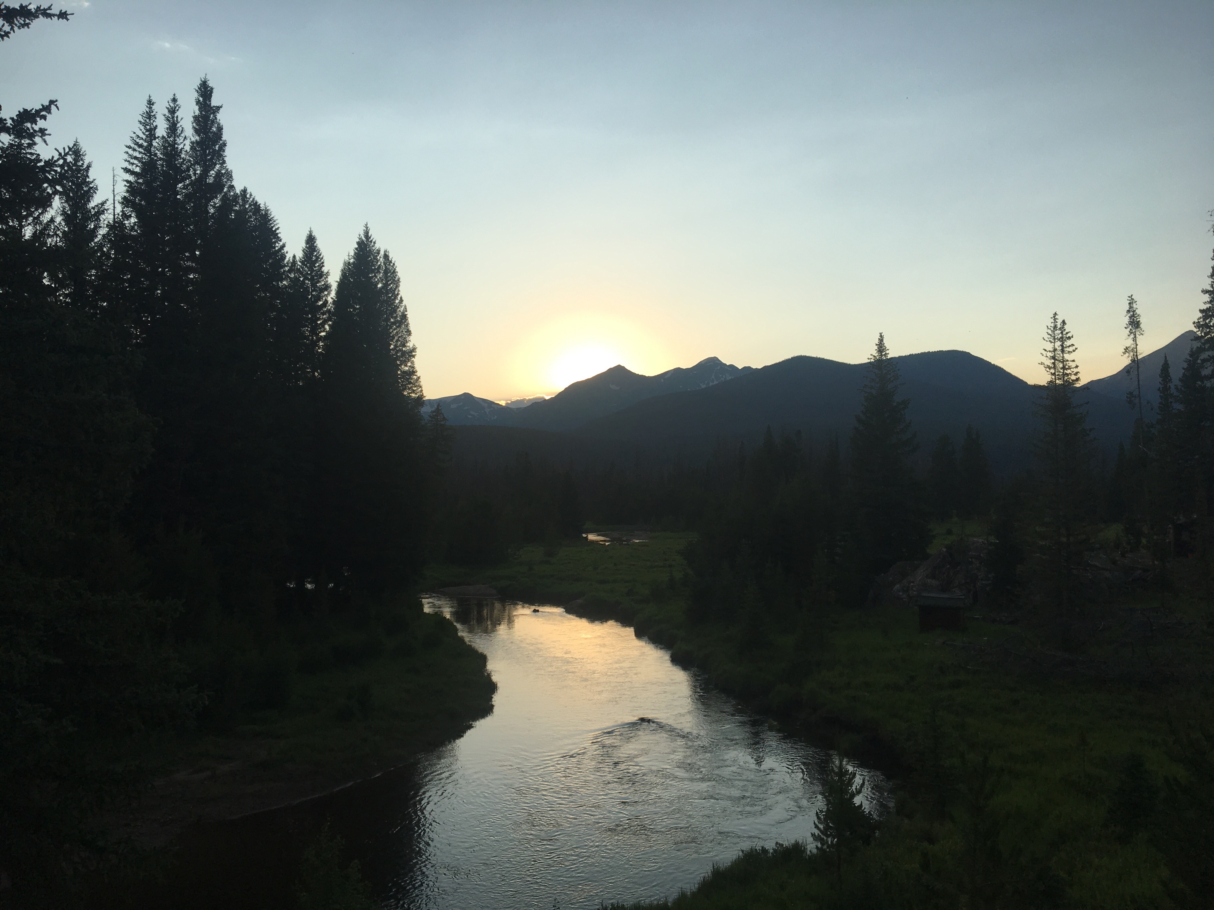
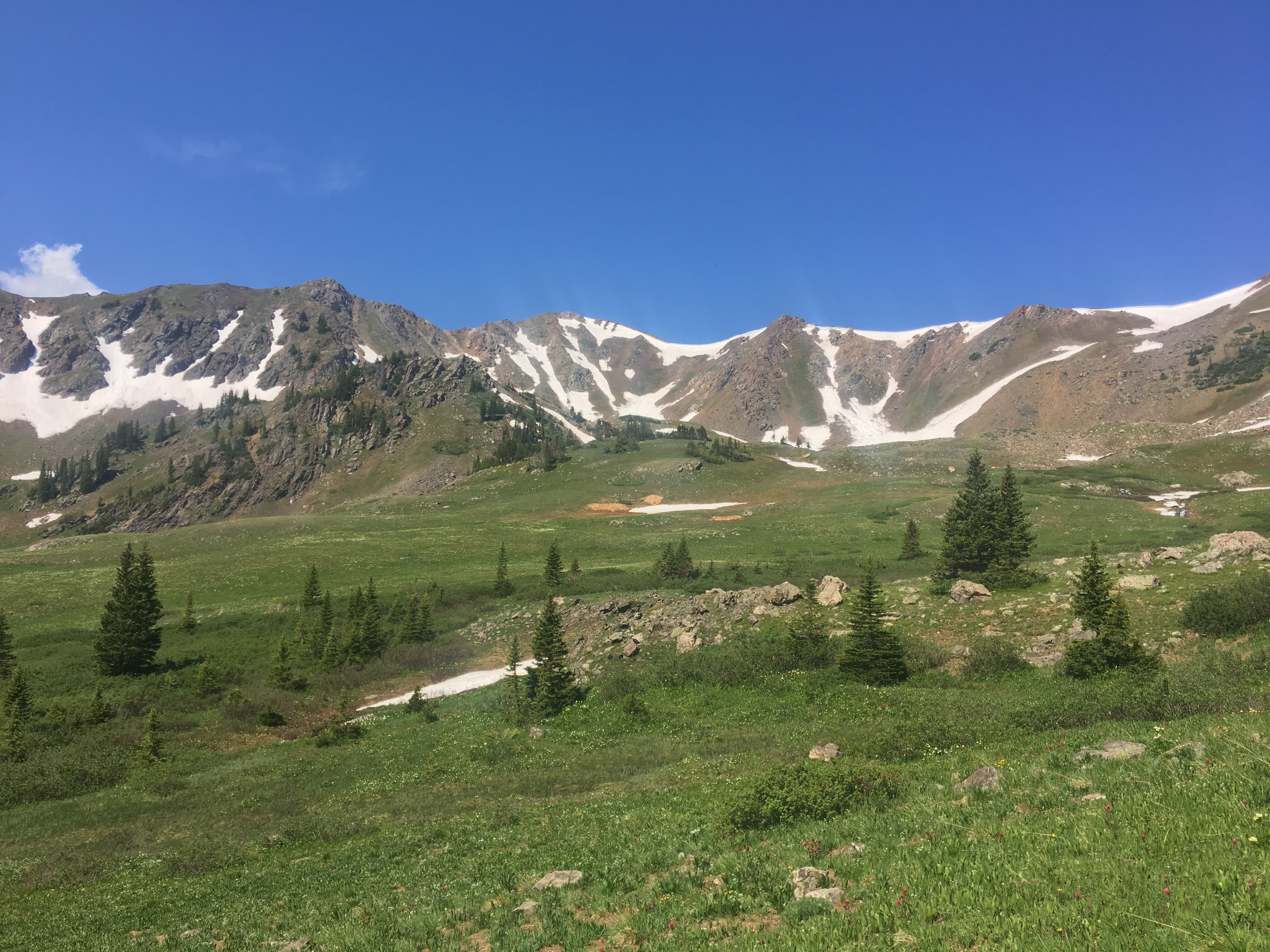
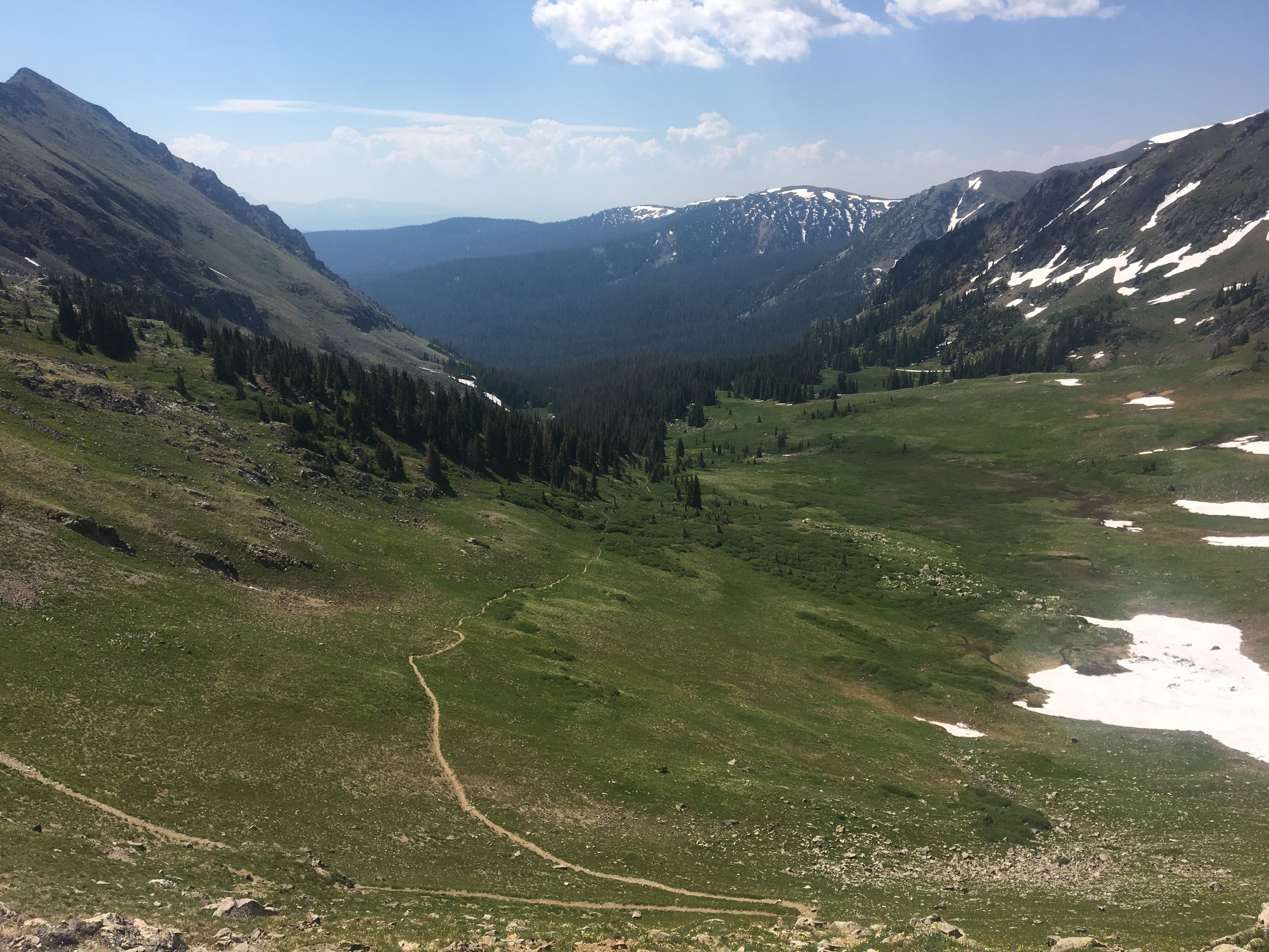
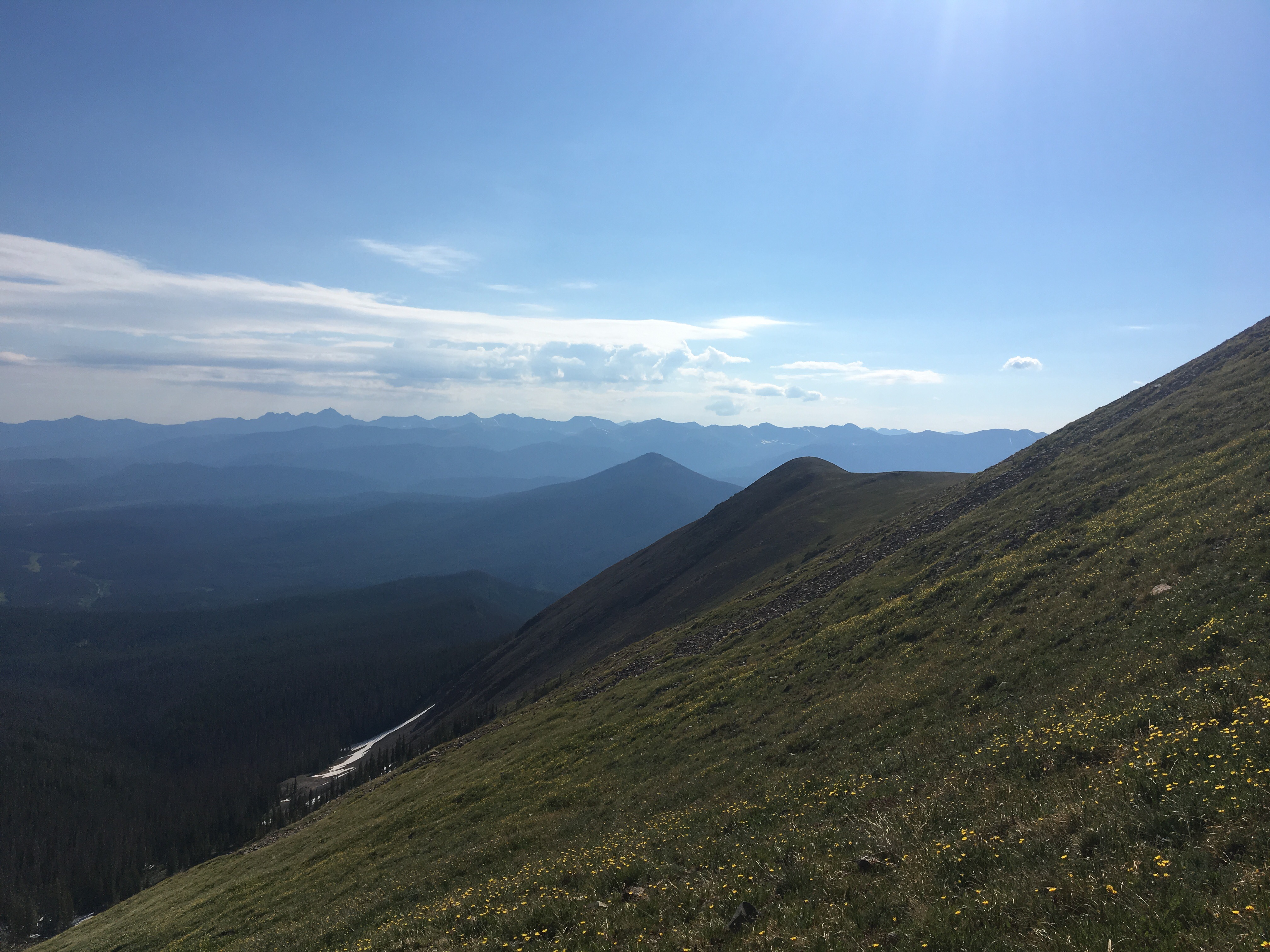
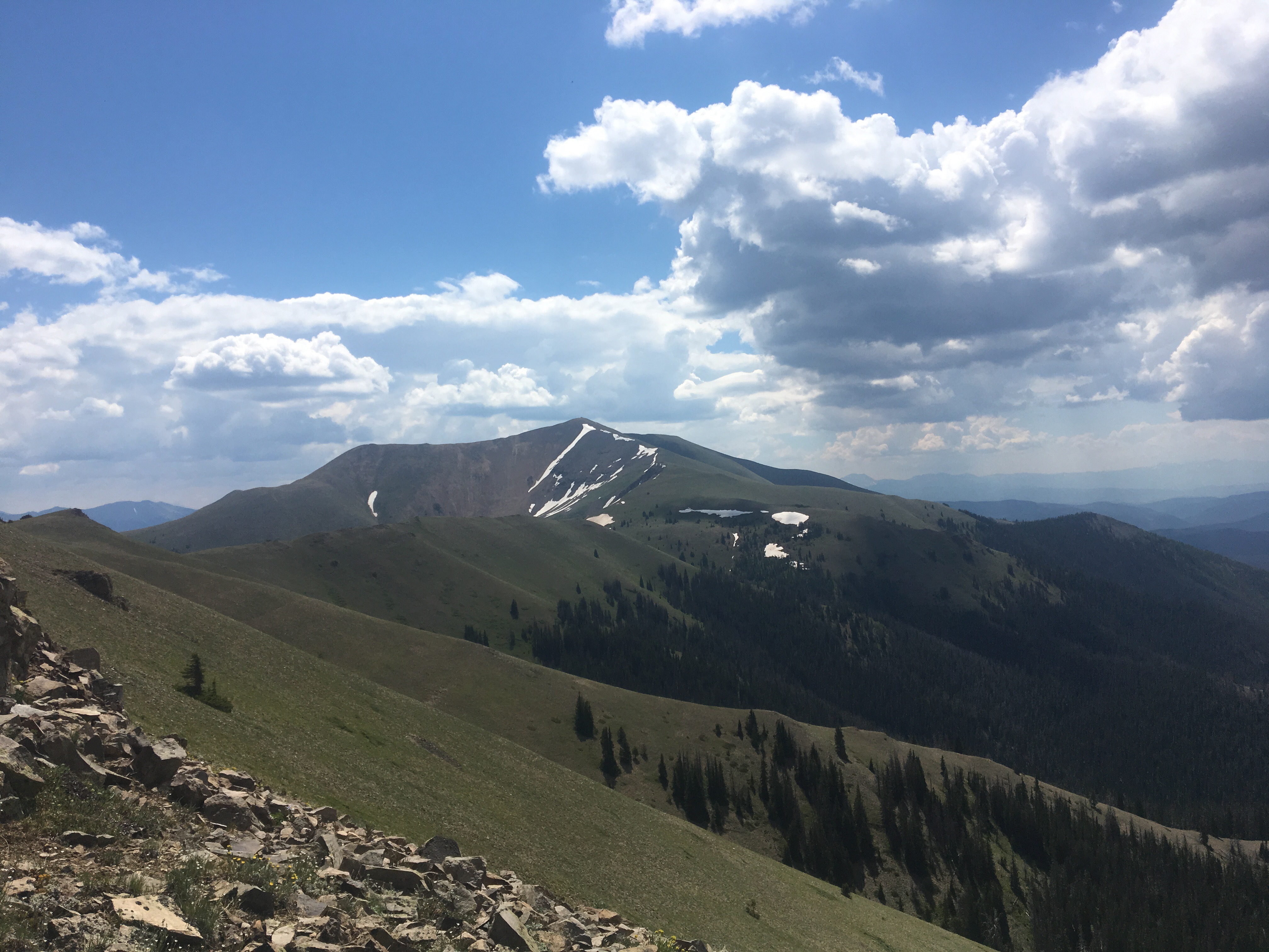
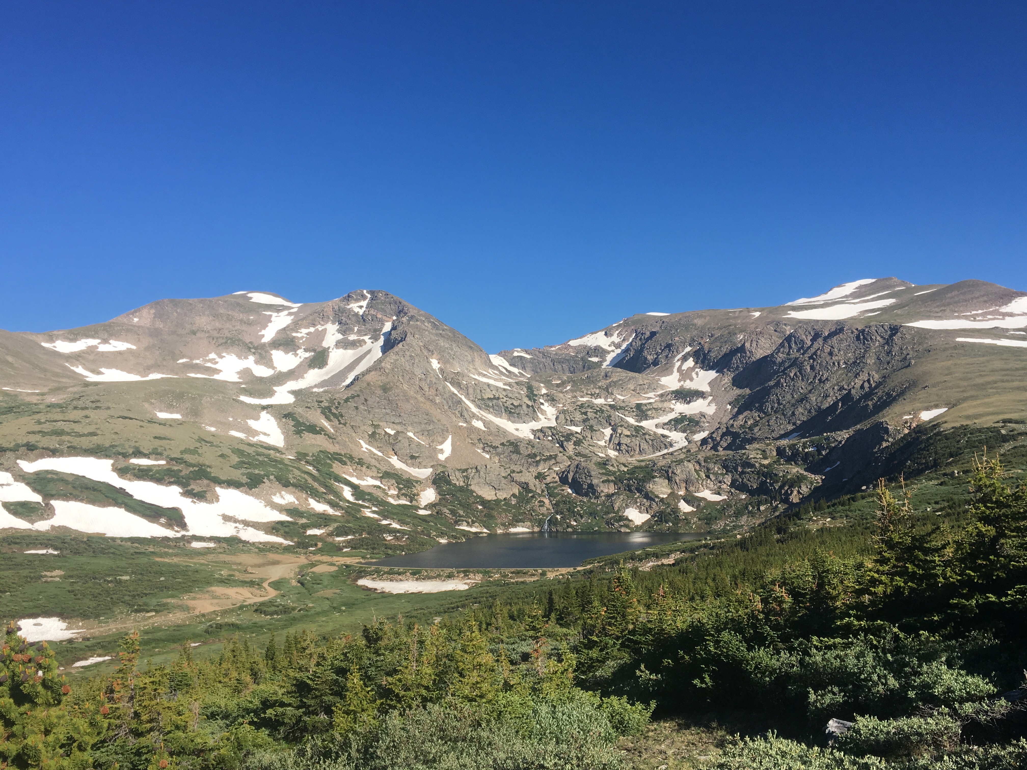
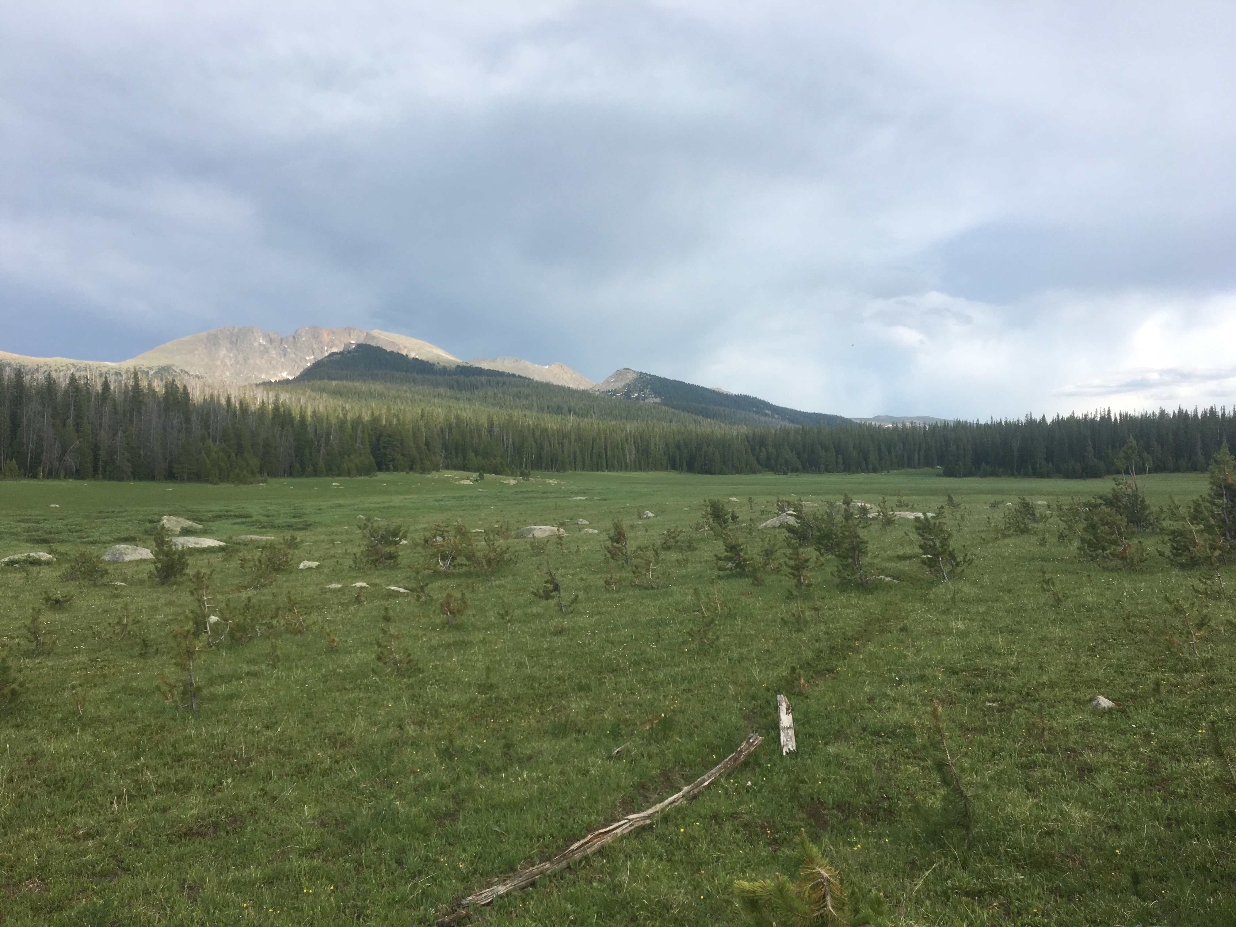
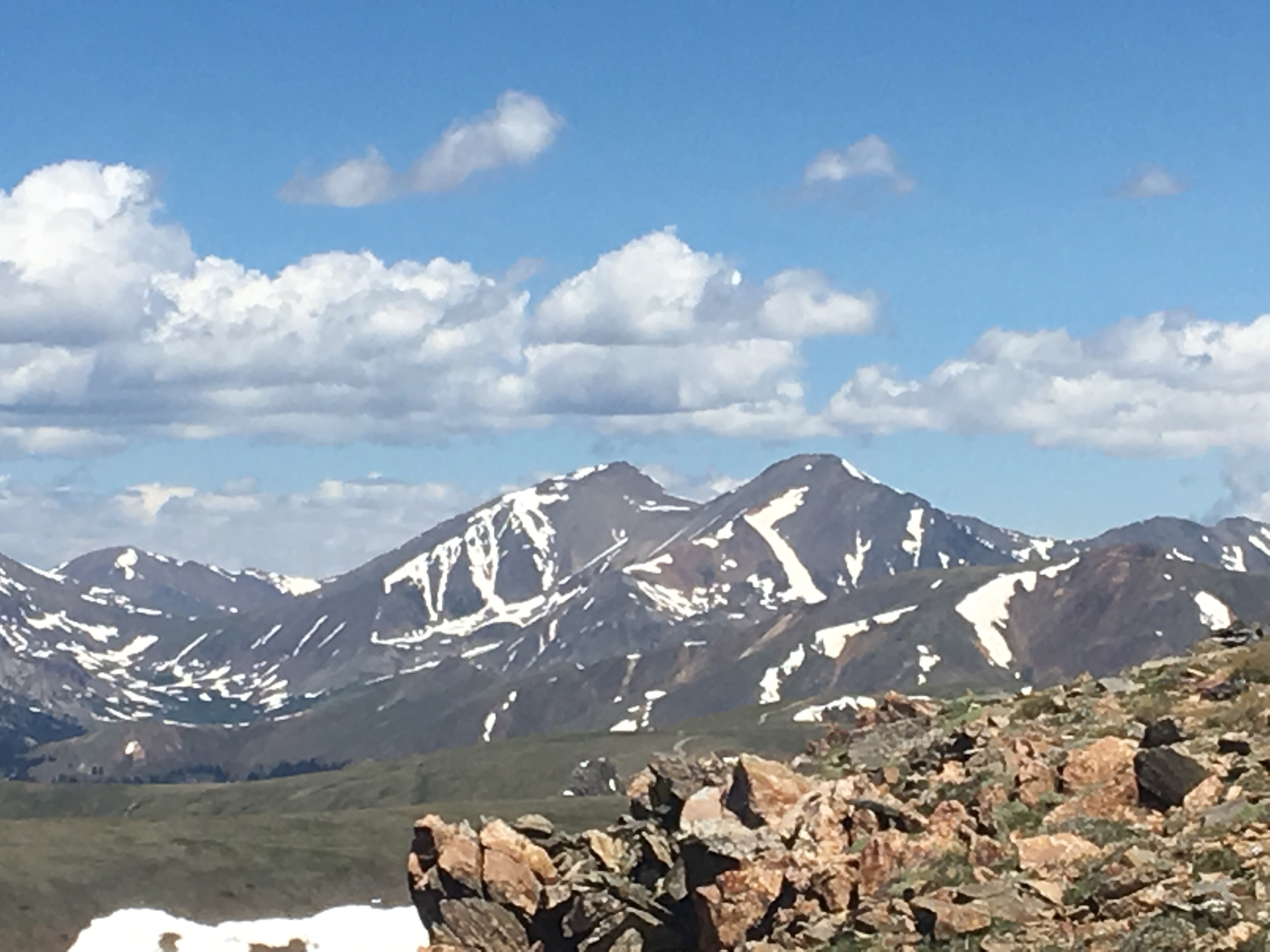
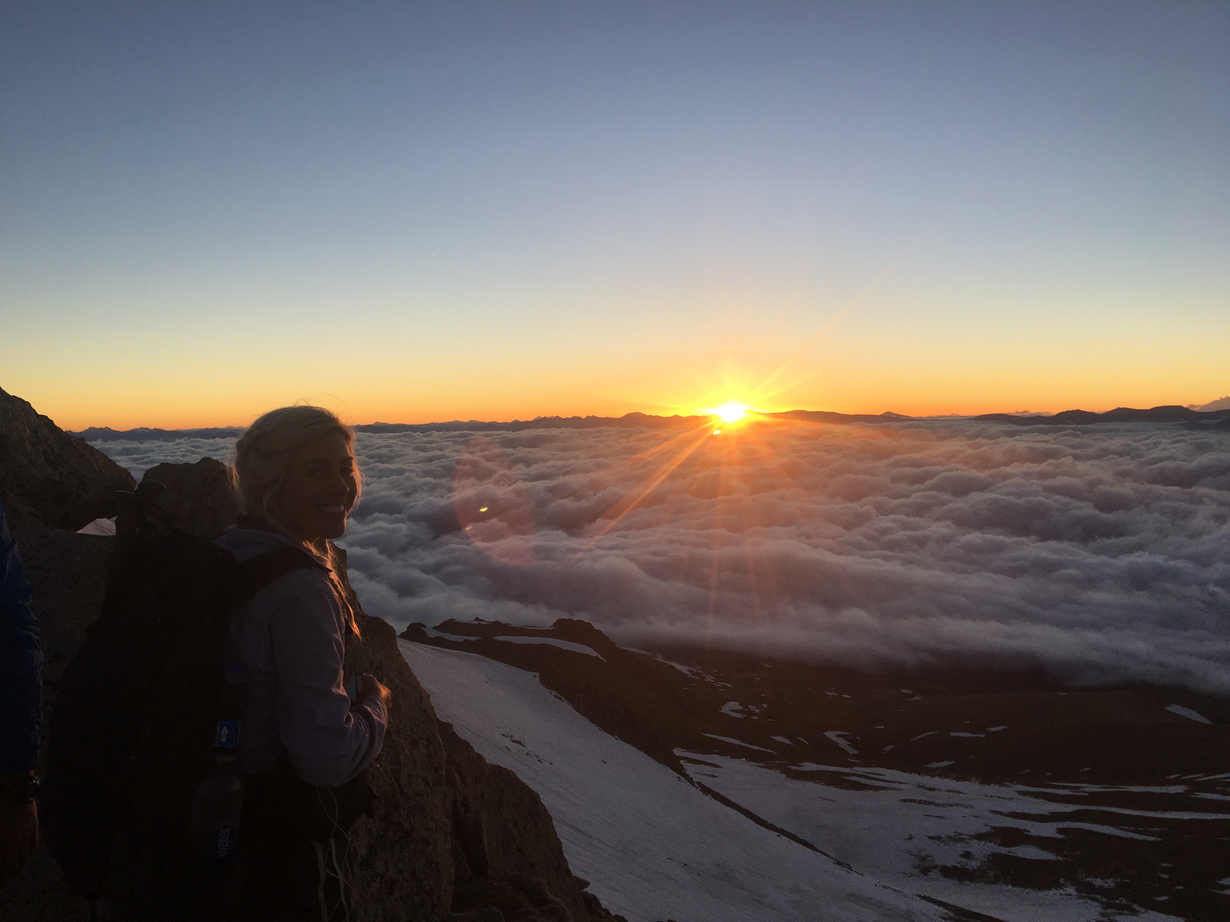
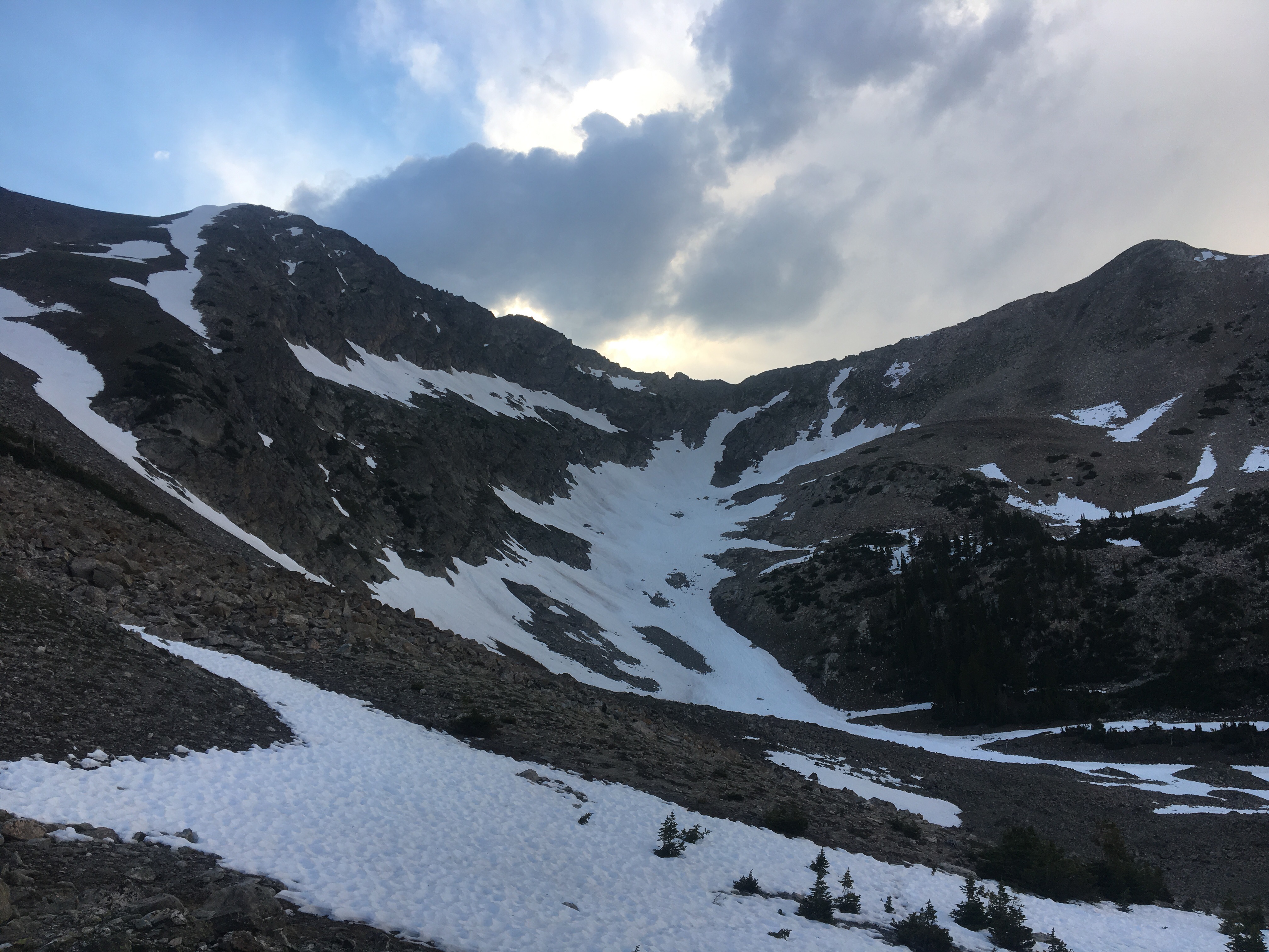
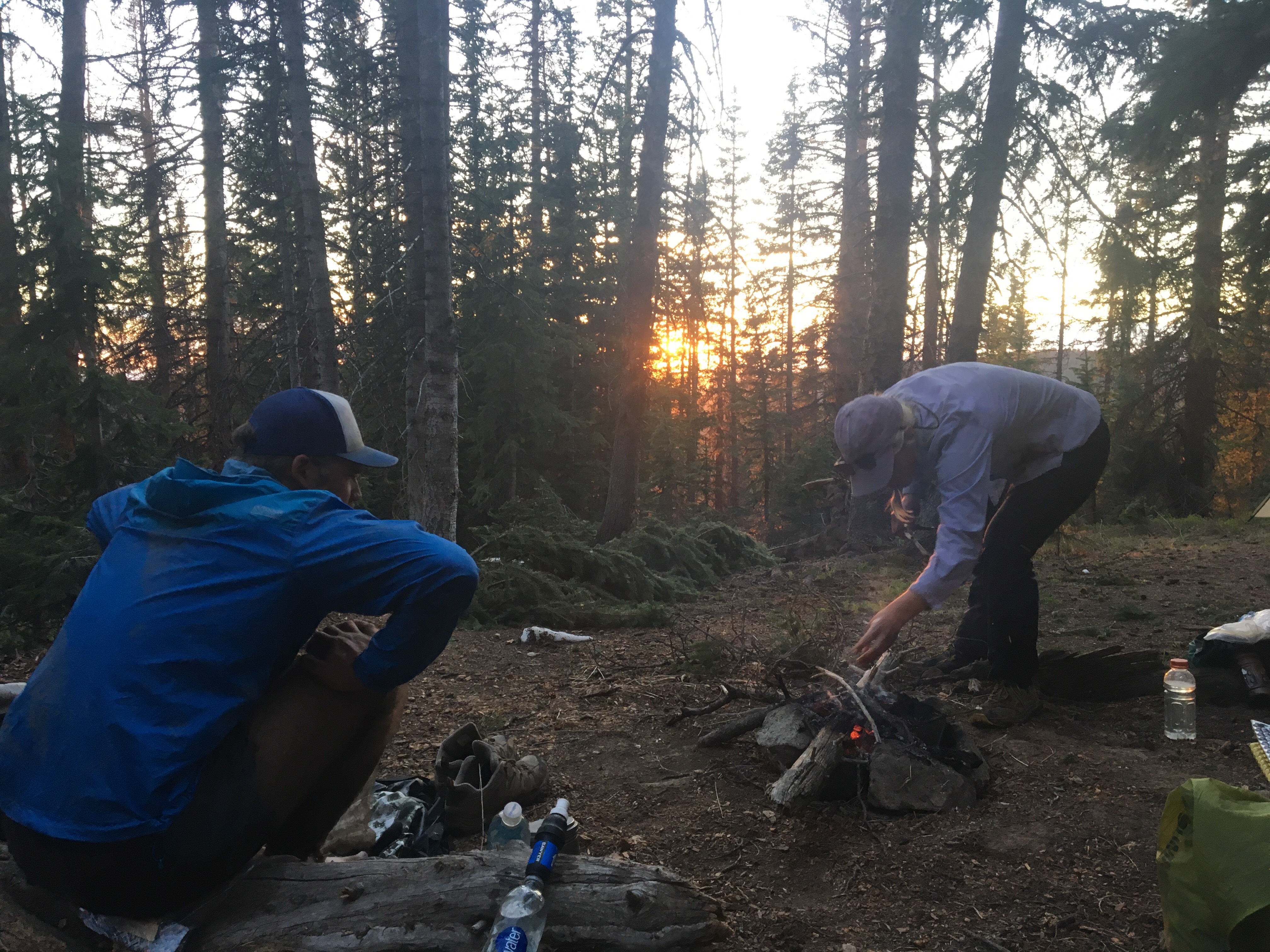
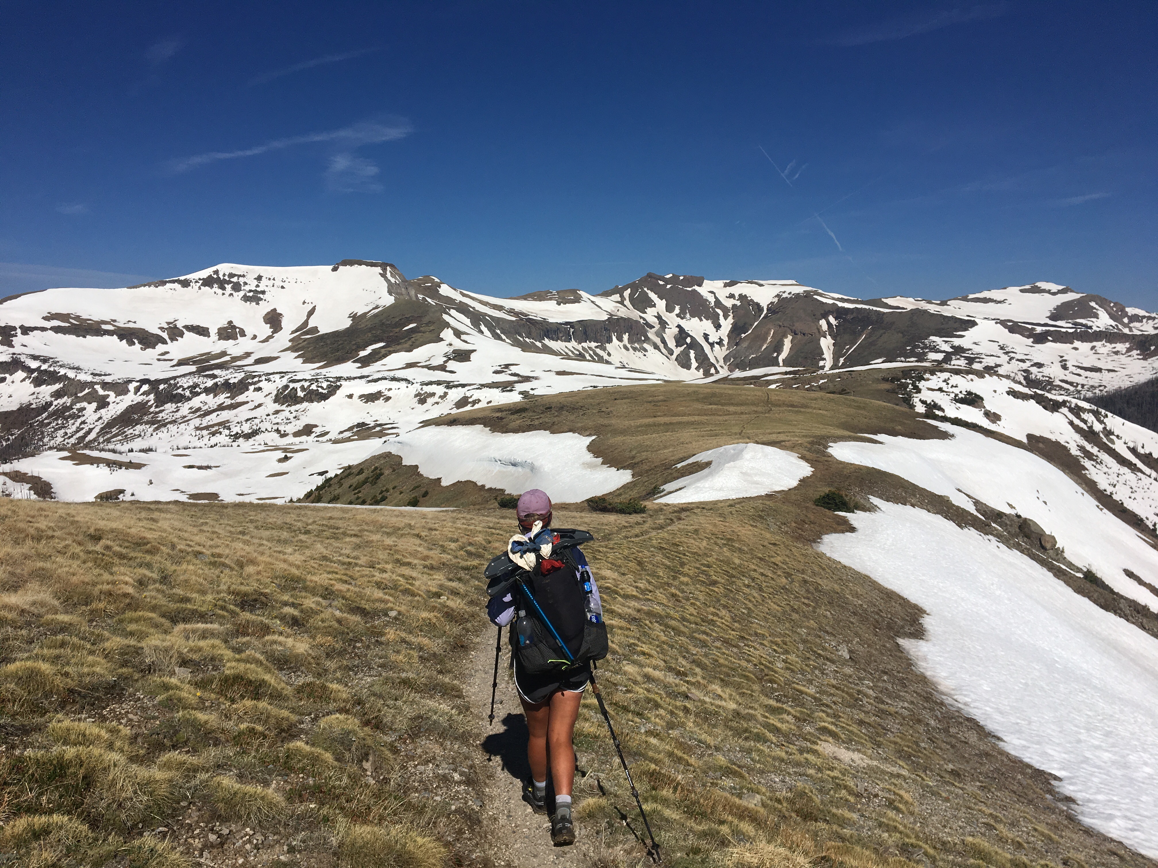
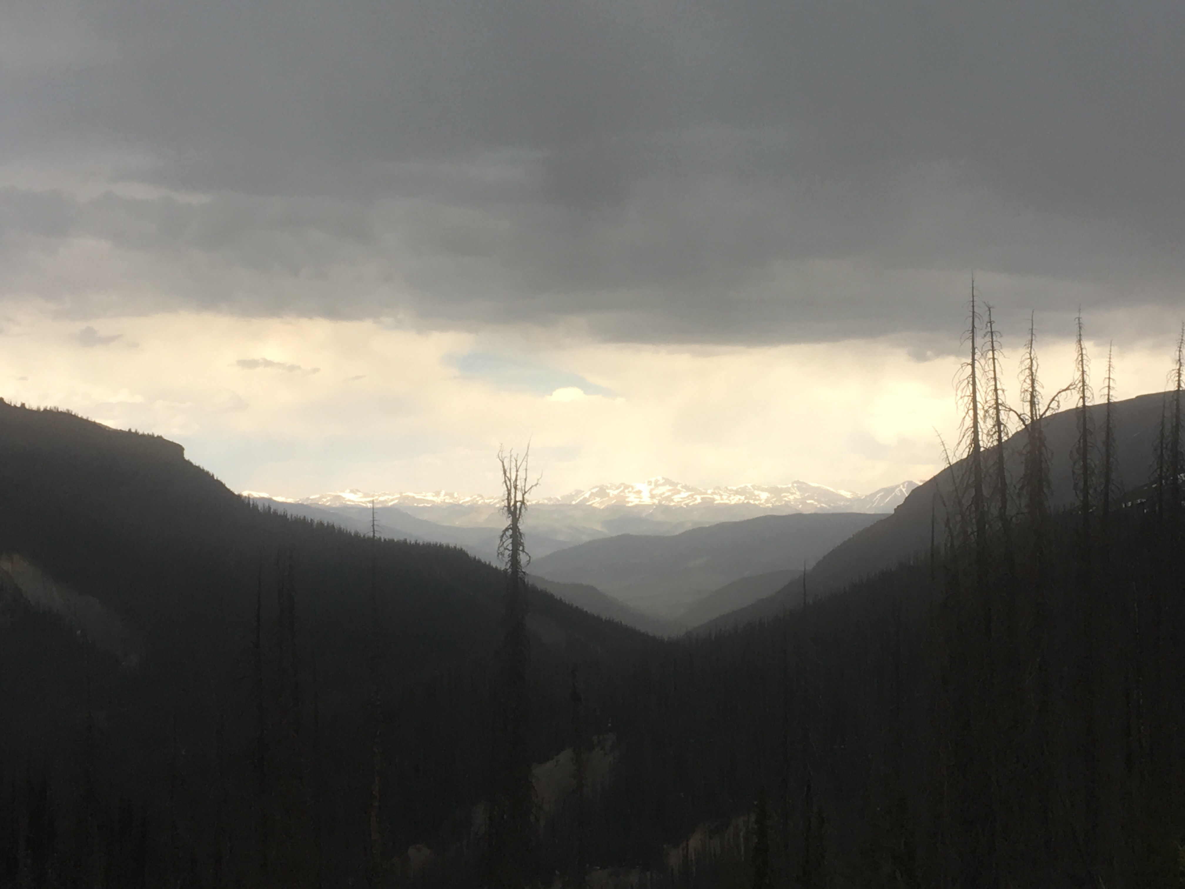
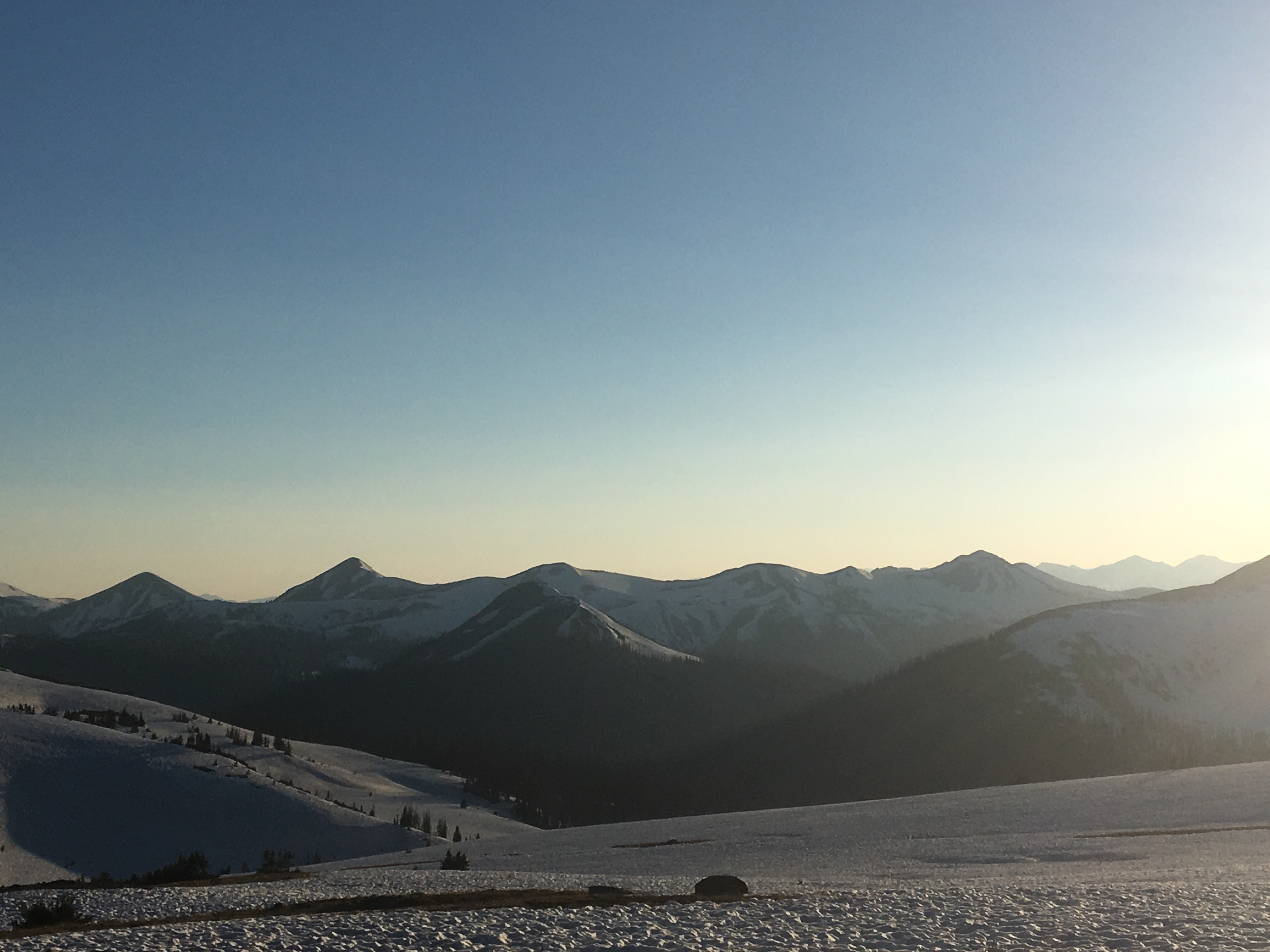
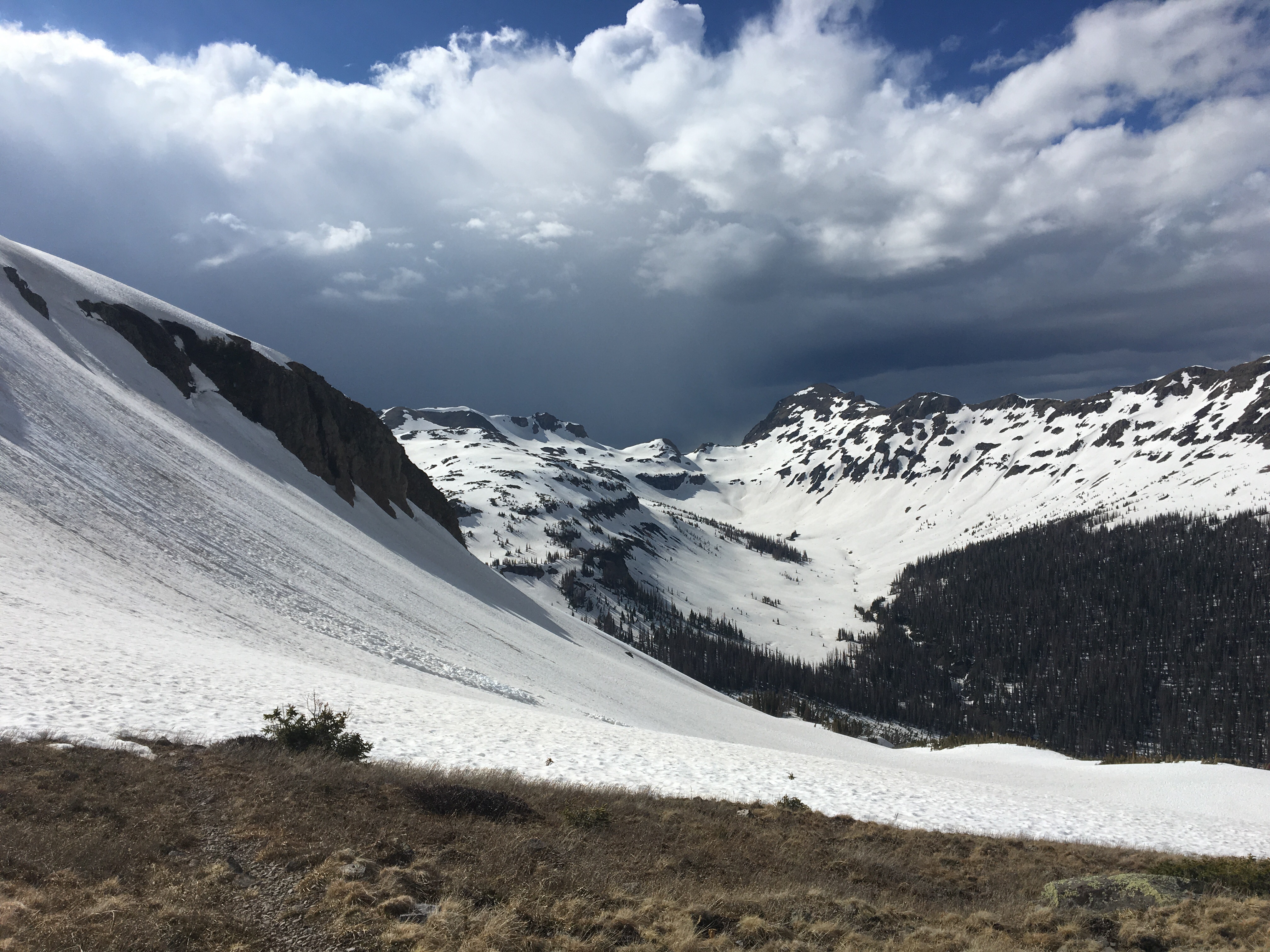
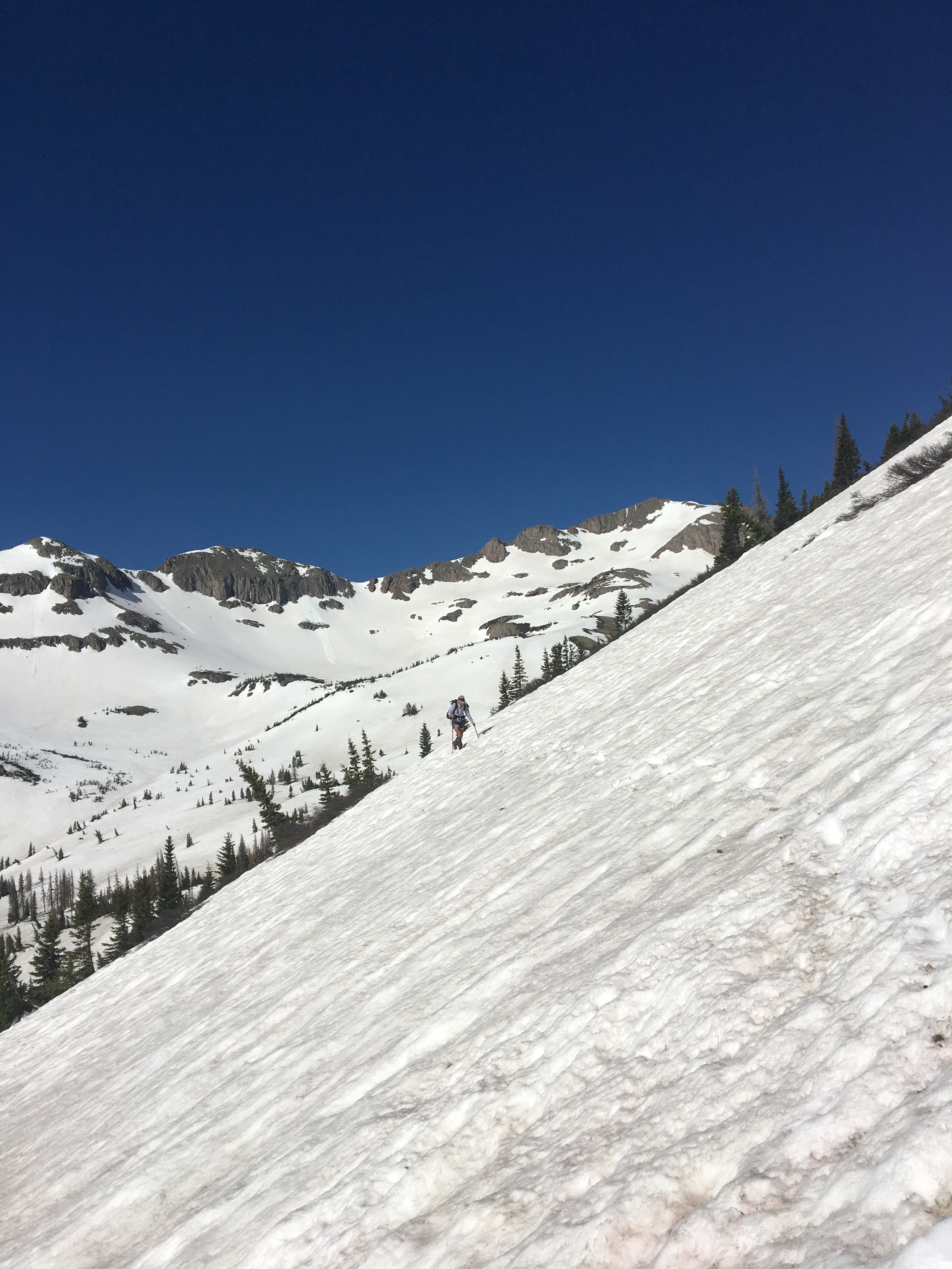
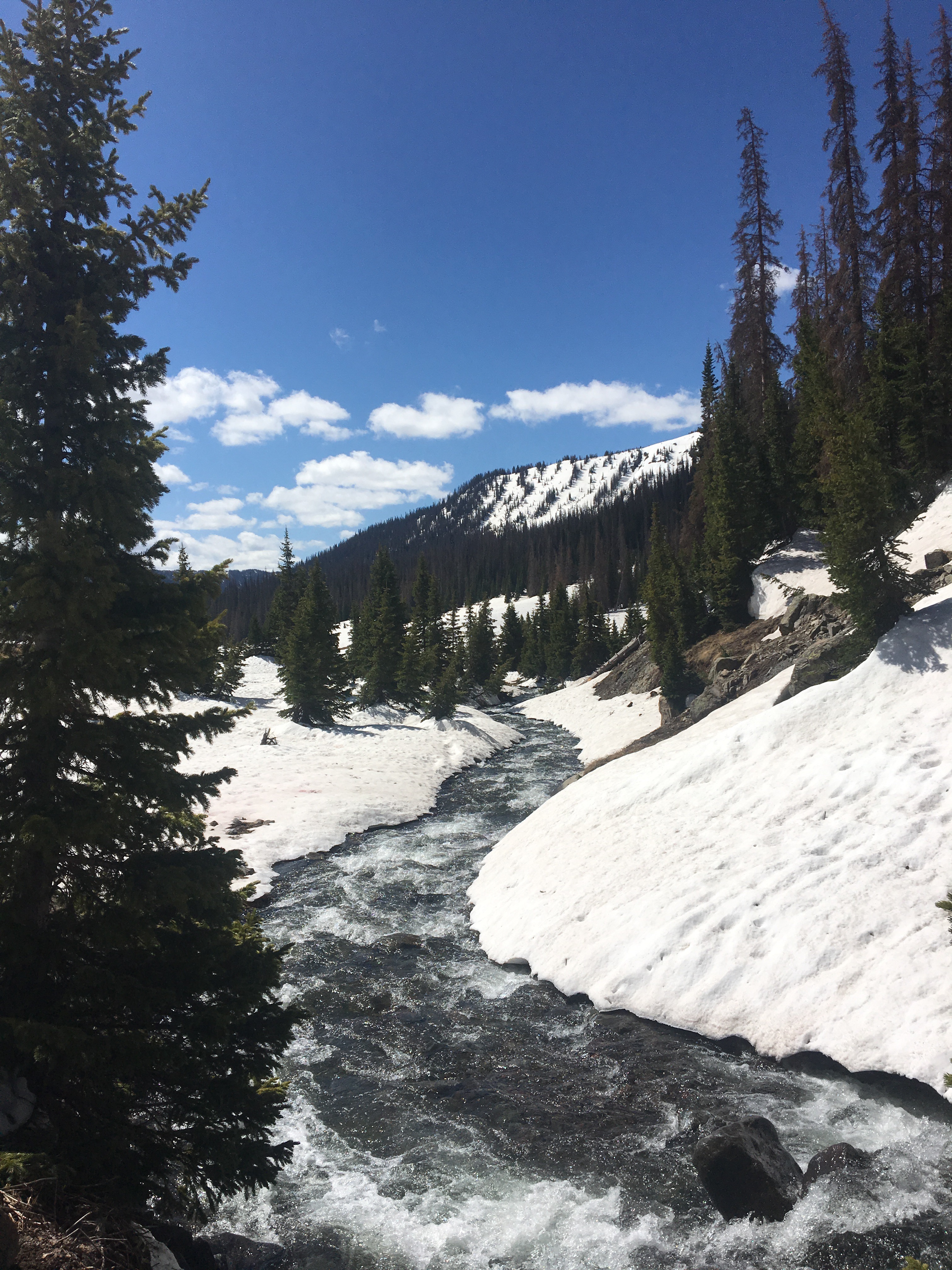
We just had ourselves a banner day out here on the Continental Divide National Scenic Trail. At 33 miles today was our biggest day of the season and what should also be our last full day in Colorado. We started our day in the Zirkel Wilderness aka the Steve Urkel wilderness and it was awesome. This place is a hidden gem within the state. I hadn’t heard of it until just a couple days ago and judging by the lack of hikers not many others know about it either. For a few miles this morning we hiked with Thunder and Snow. We had heard of this couple and had even seen their tracks because they skied through the San Juans ahead of us. If you look back in this blog I’m pretty sure I’ve got pictures of their perfect figure 8’s in the snow. QB and I had a good pace going all day and didn’t even slow down during some afternoon rain. This was probably the most substantial rain we’ve got the whole trip and it really wasn’t all that bad. I think I even saw an eagle today. We’ve had many unconfirmed eagle sightings(if either of us see a big bird it’s an eagle until proven otherwise), but this was as close as it gets, I’m almost positive it was a bald eagle. There was a nice climb at the end of the day and as we looked for a place to camp we were rewarded with a spectacular sunset that will probably be our last in Colorado. Early morning walking thru the Zirkel
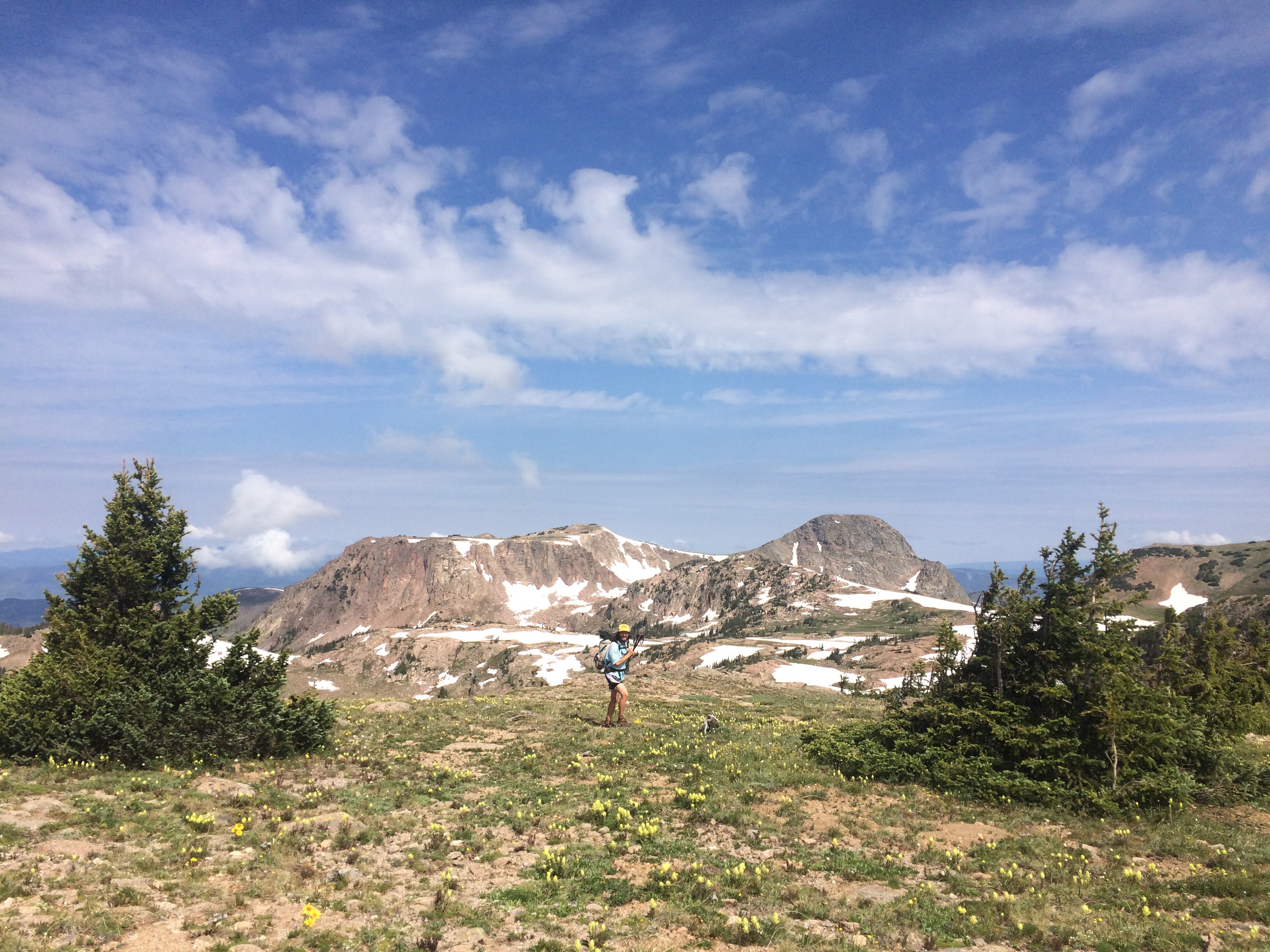
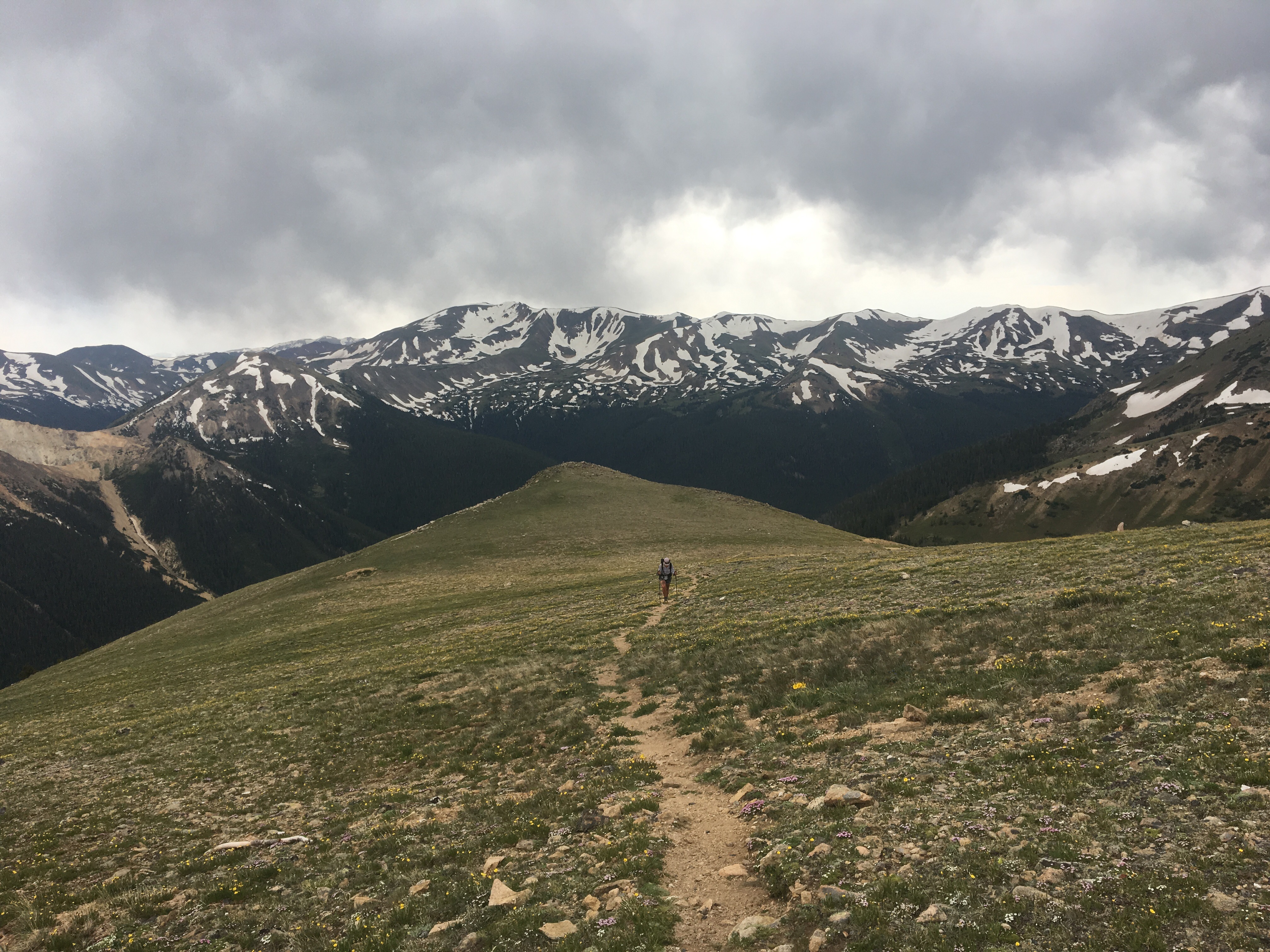
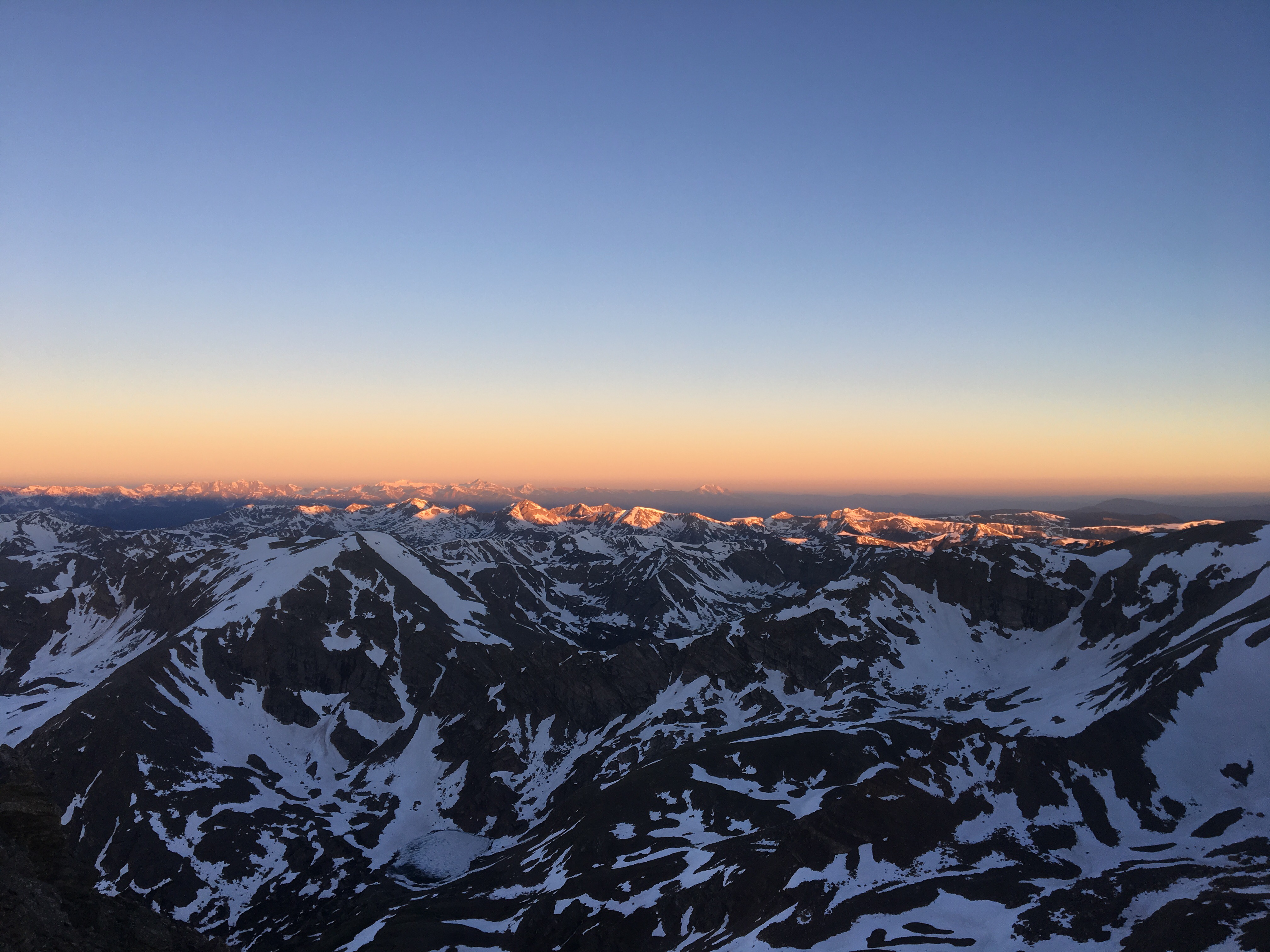
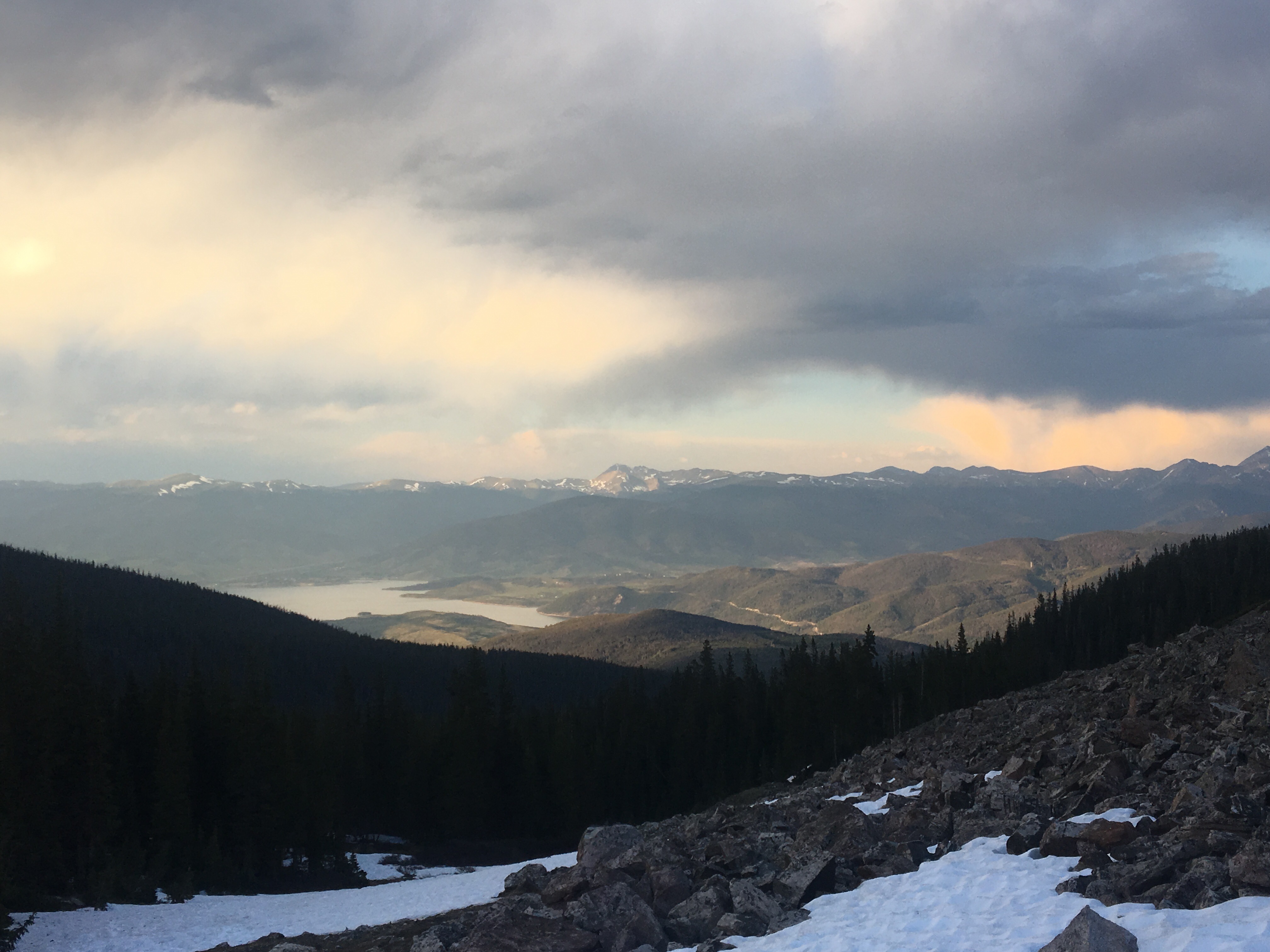
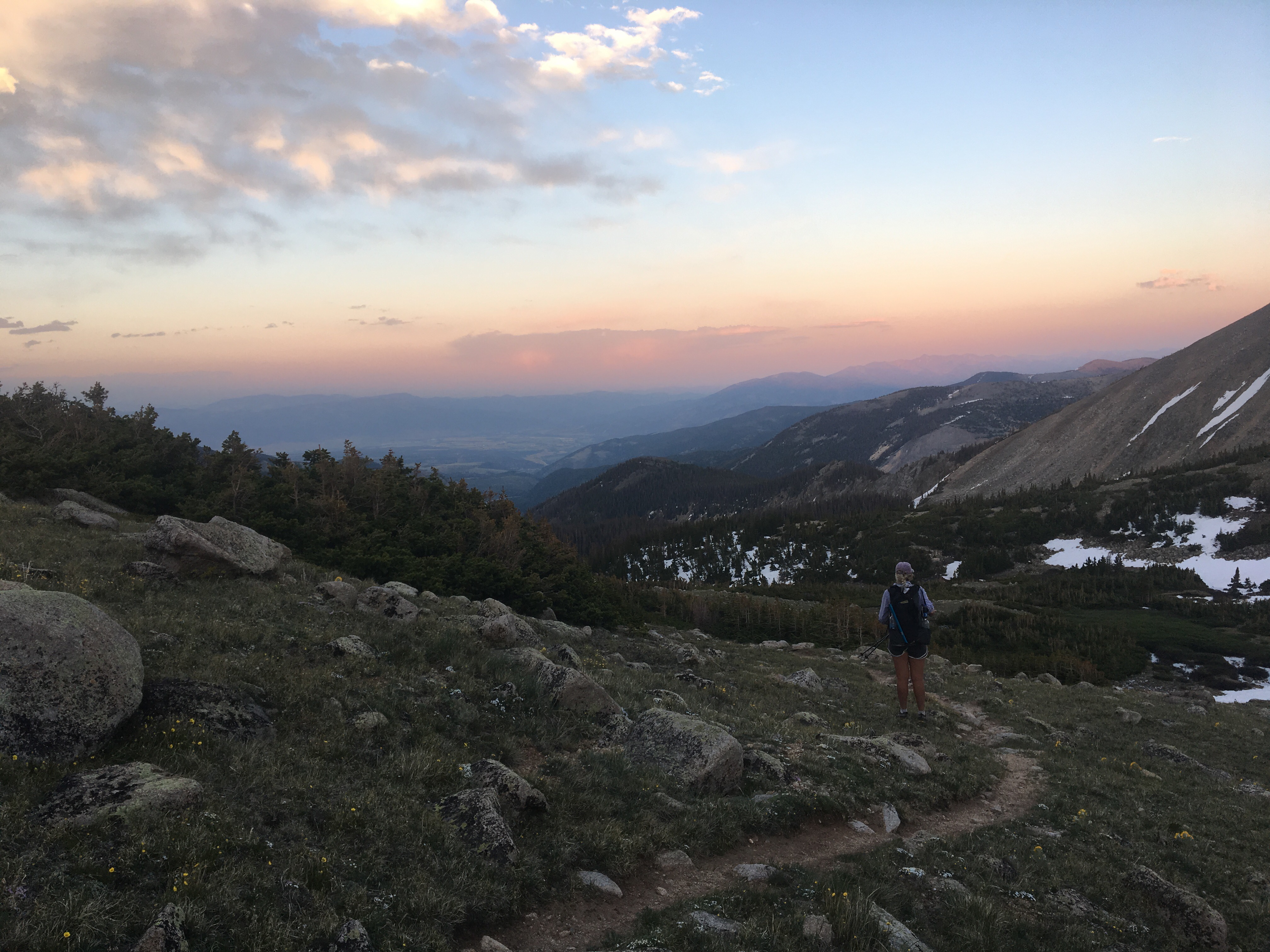
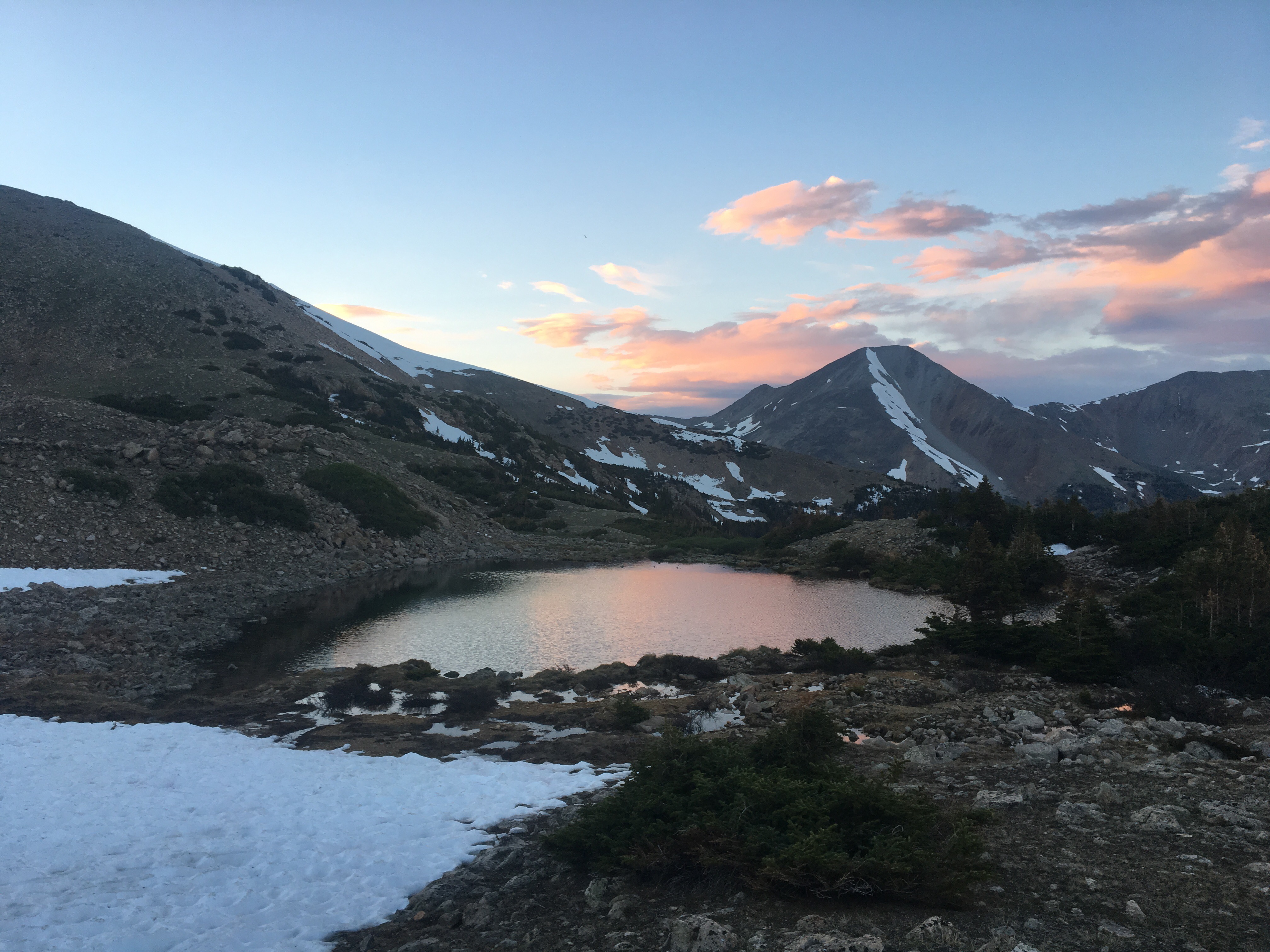
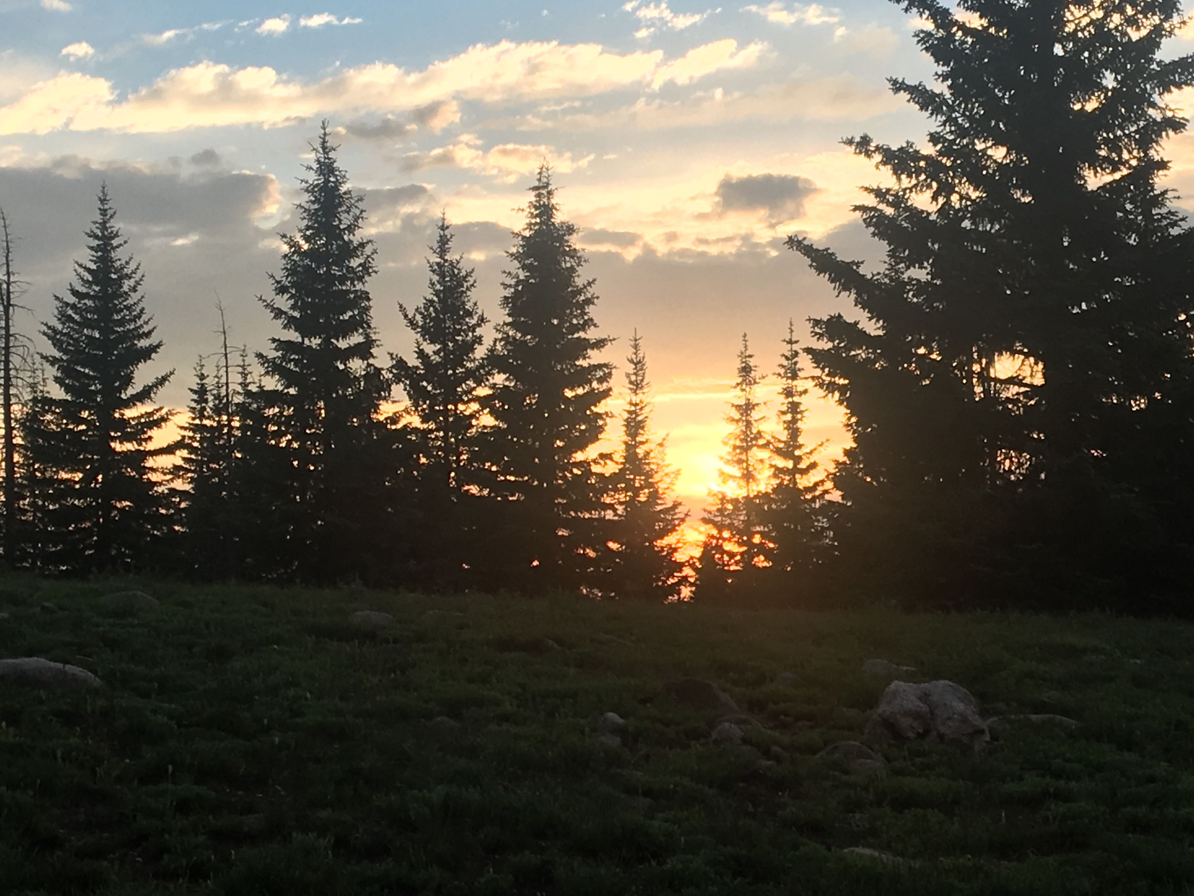 last Colorado sunset
Day 75 7/13 33 miles
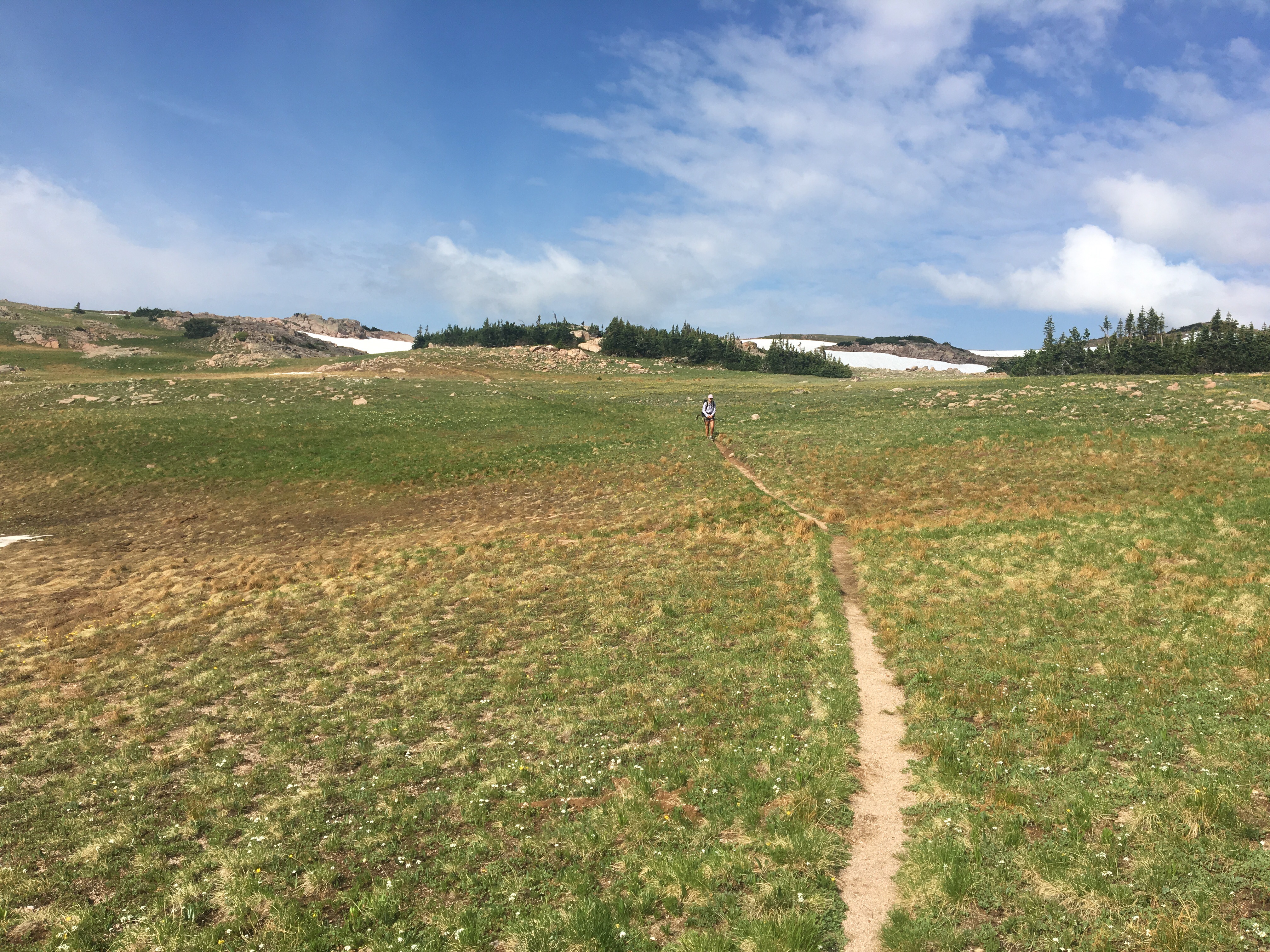
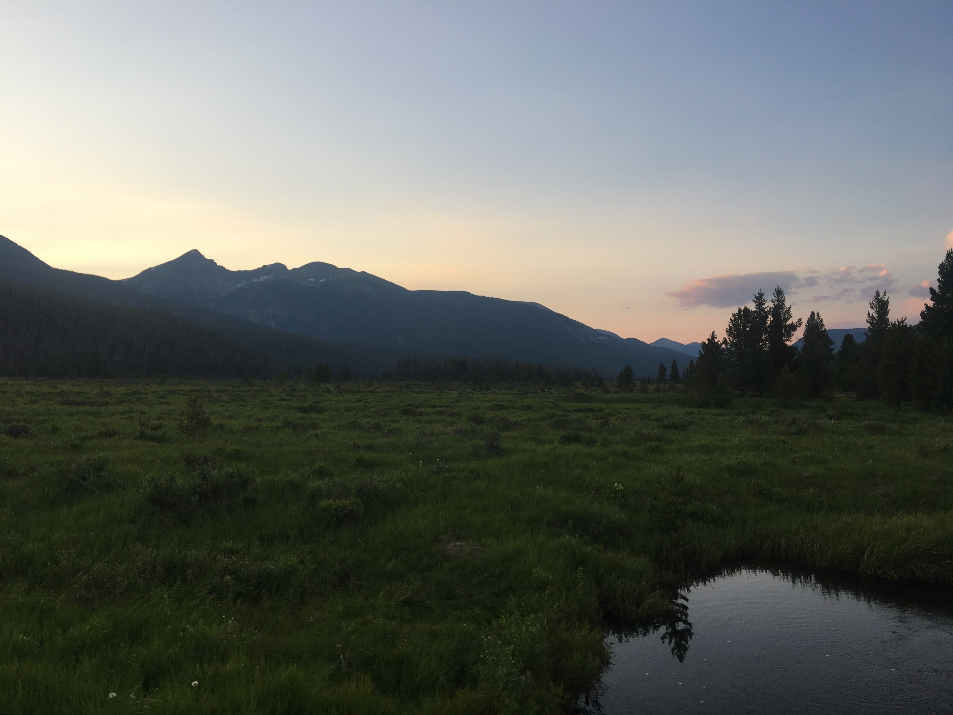
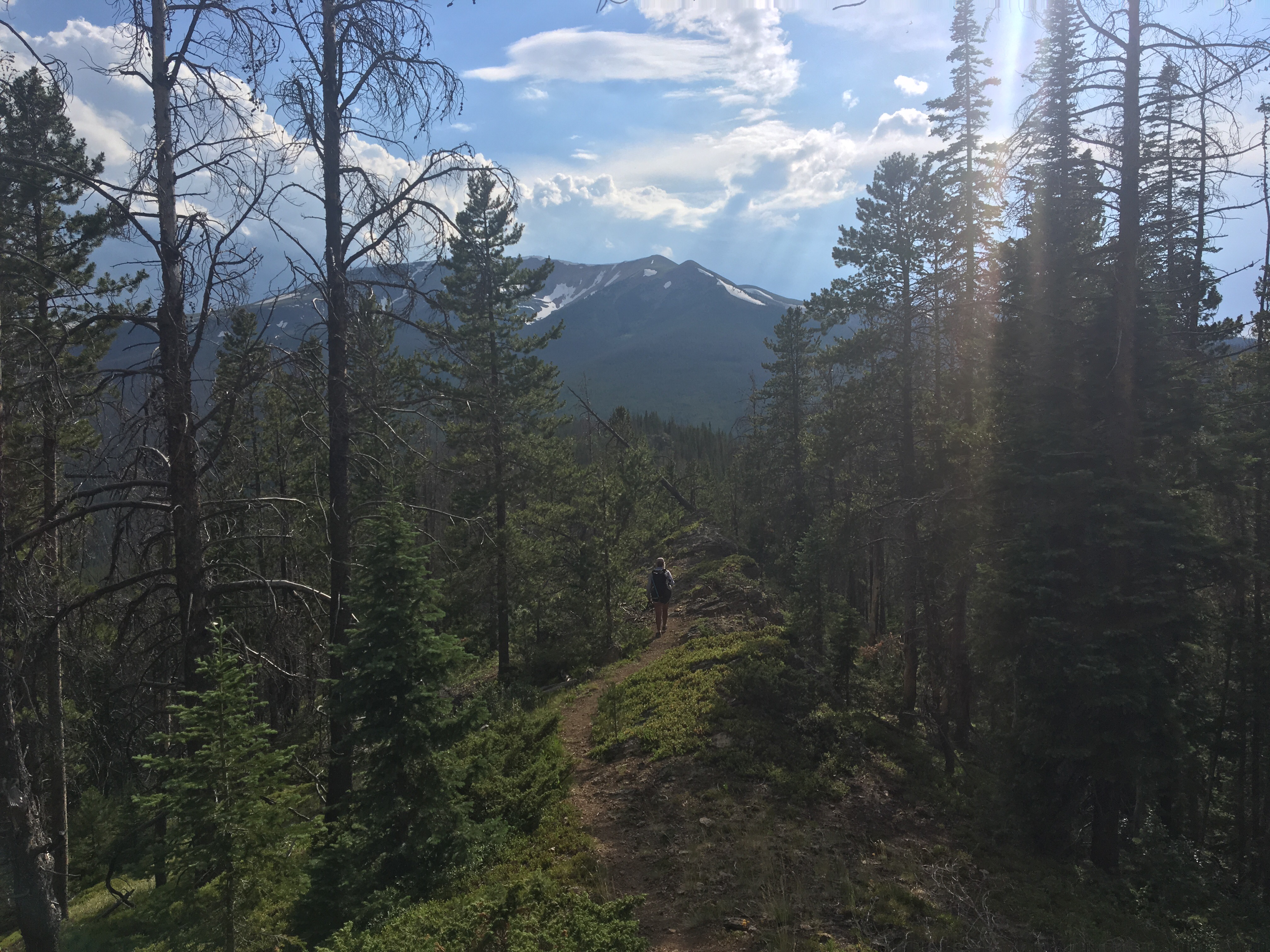
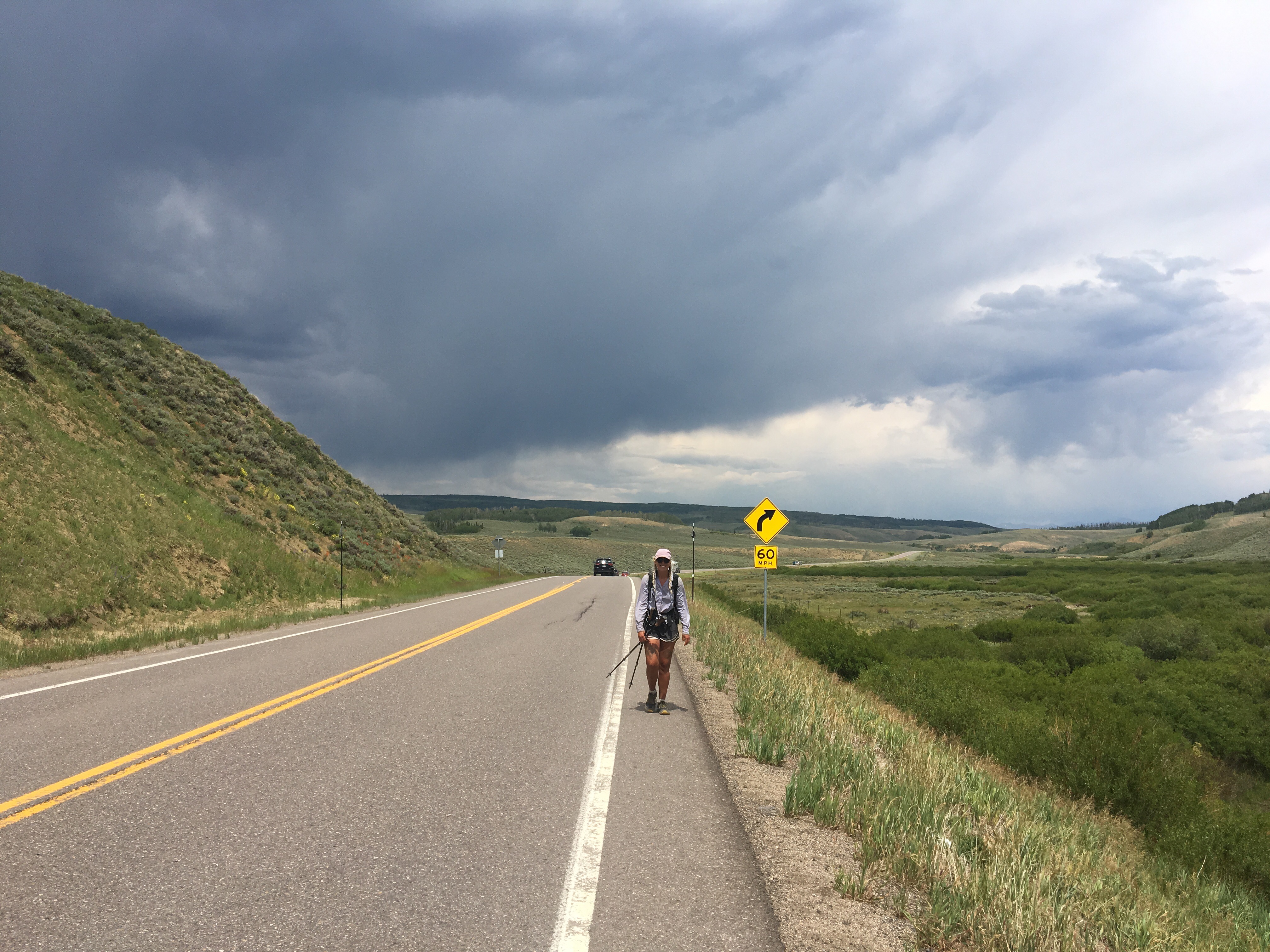
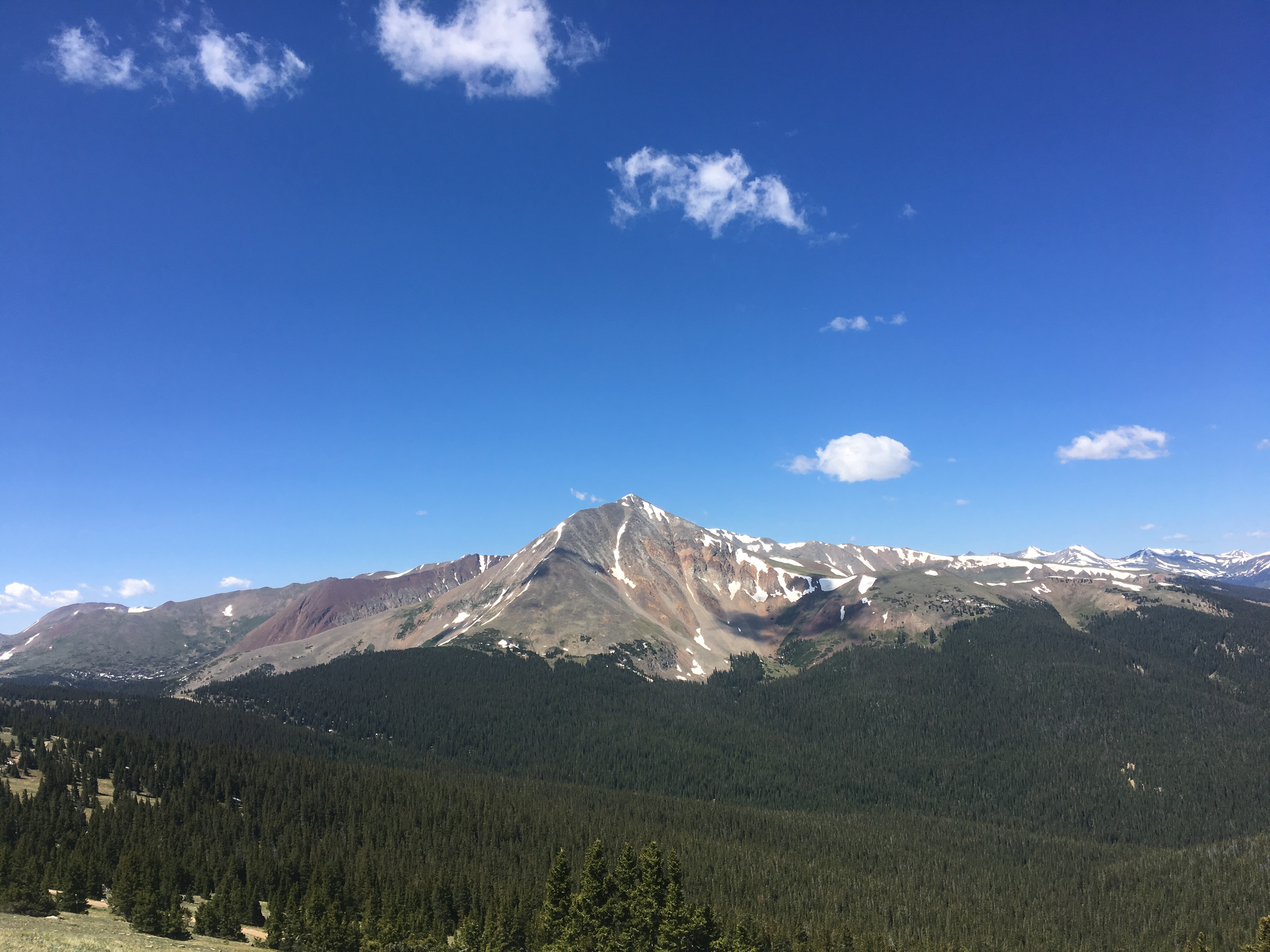
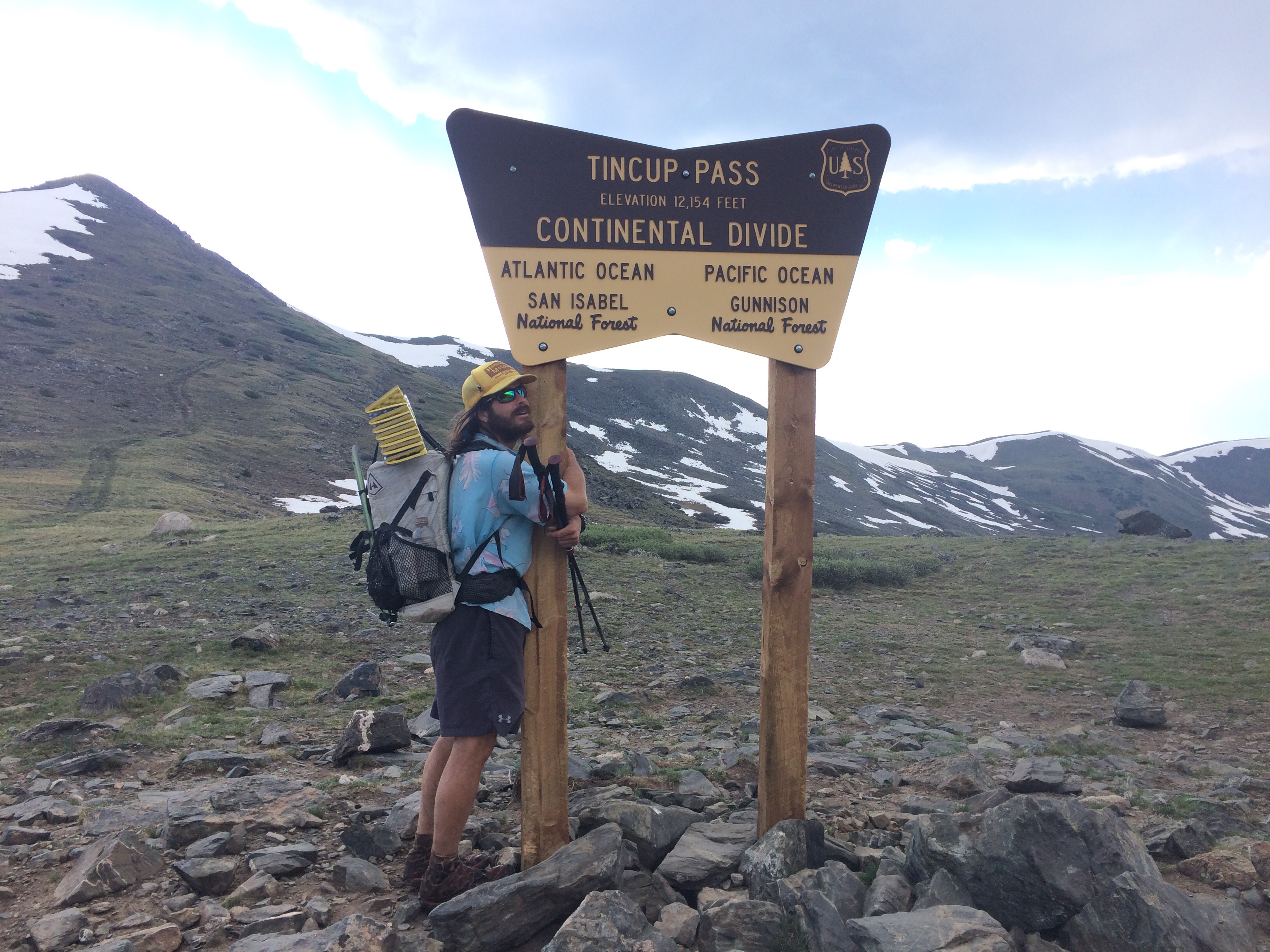
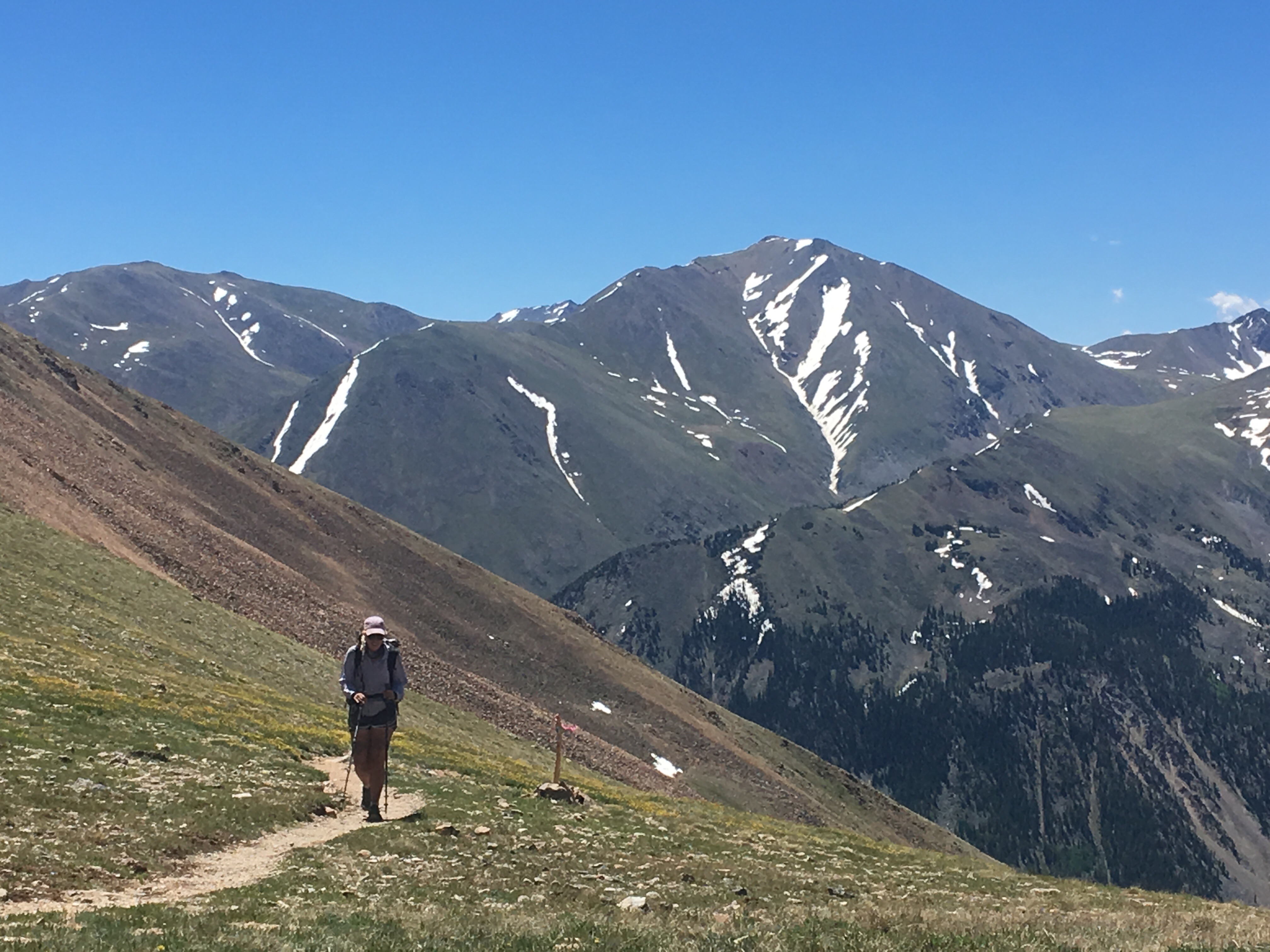
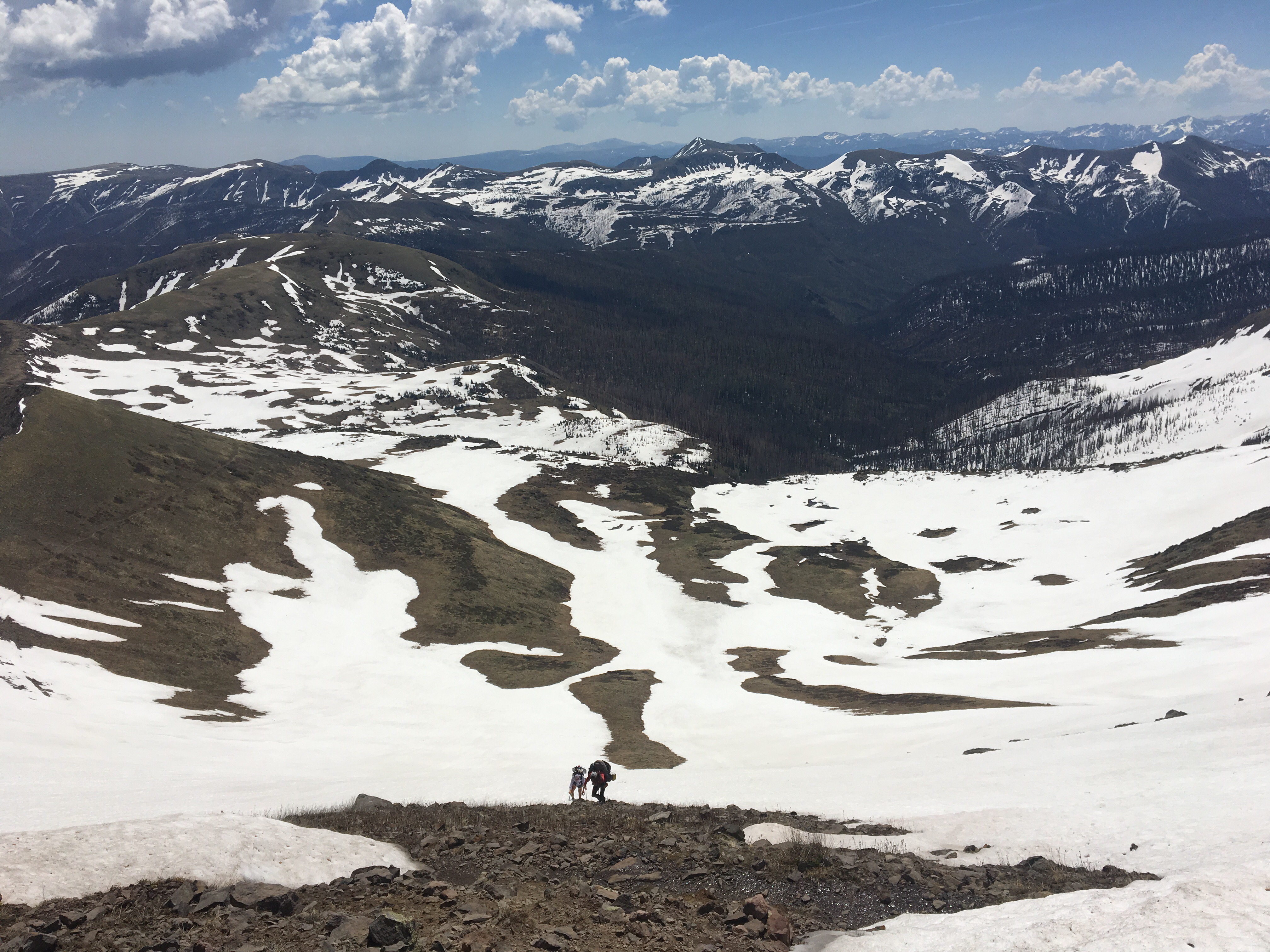
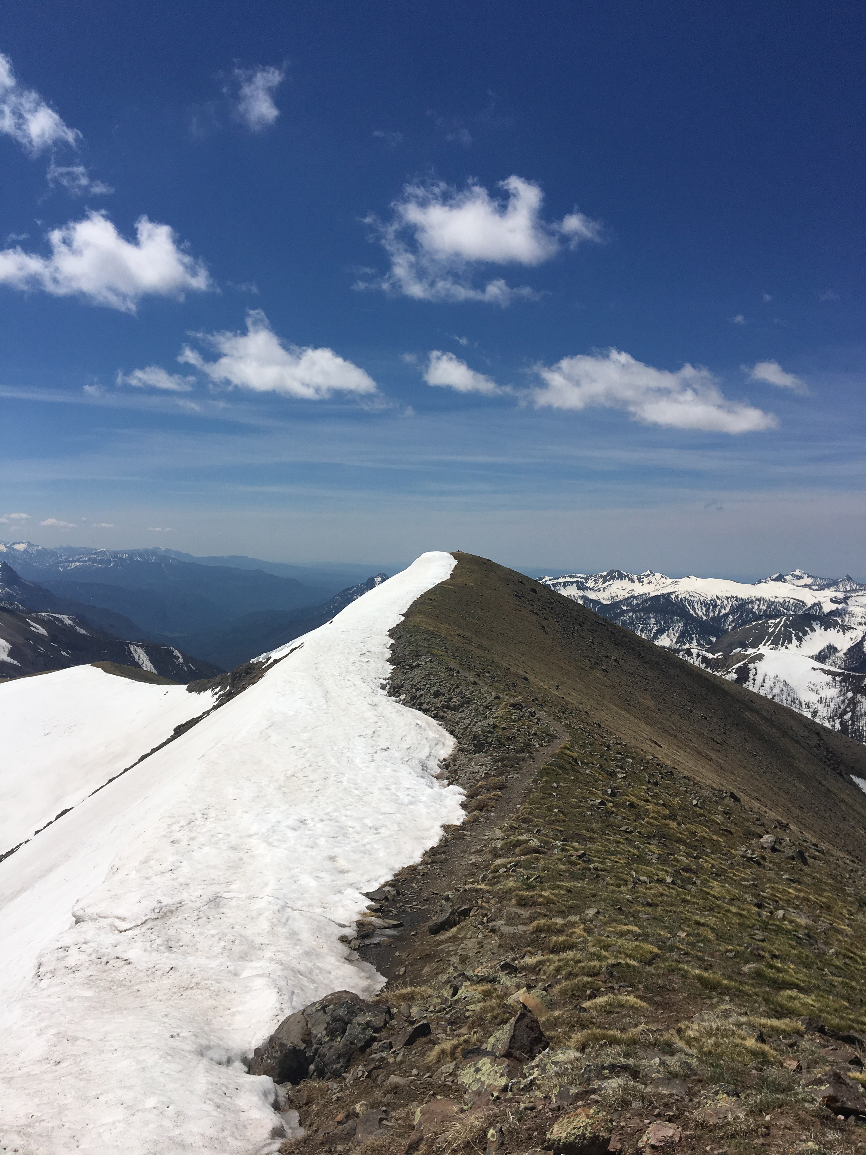
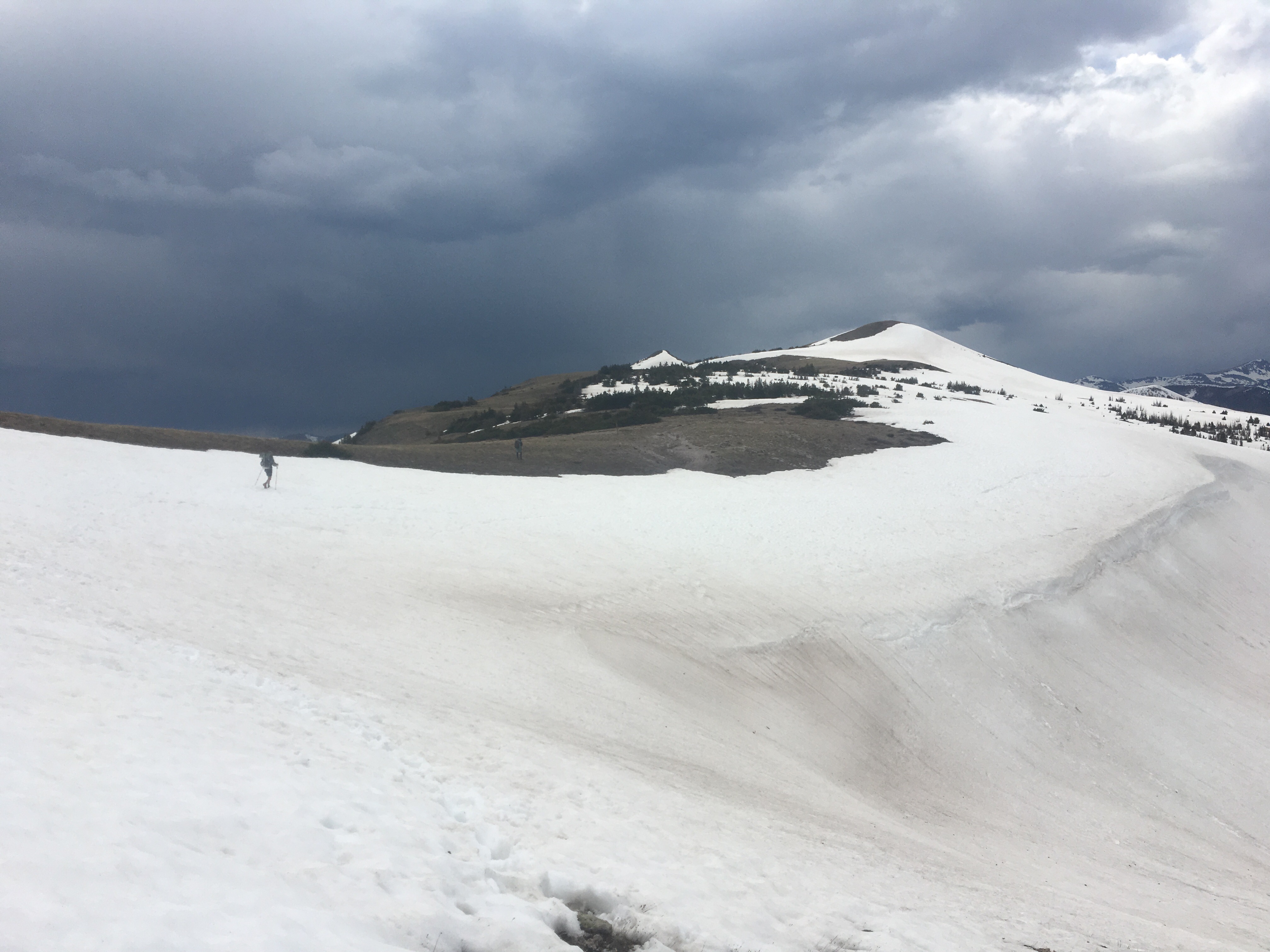
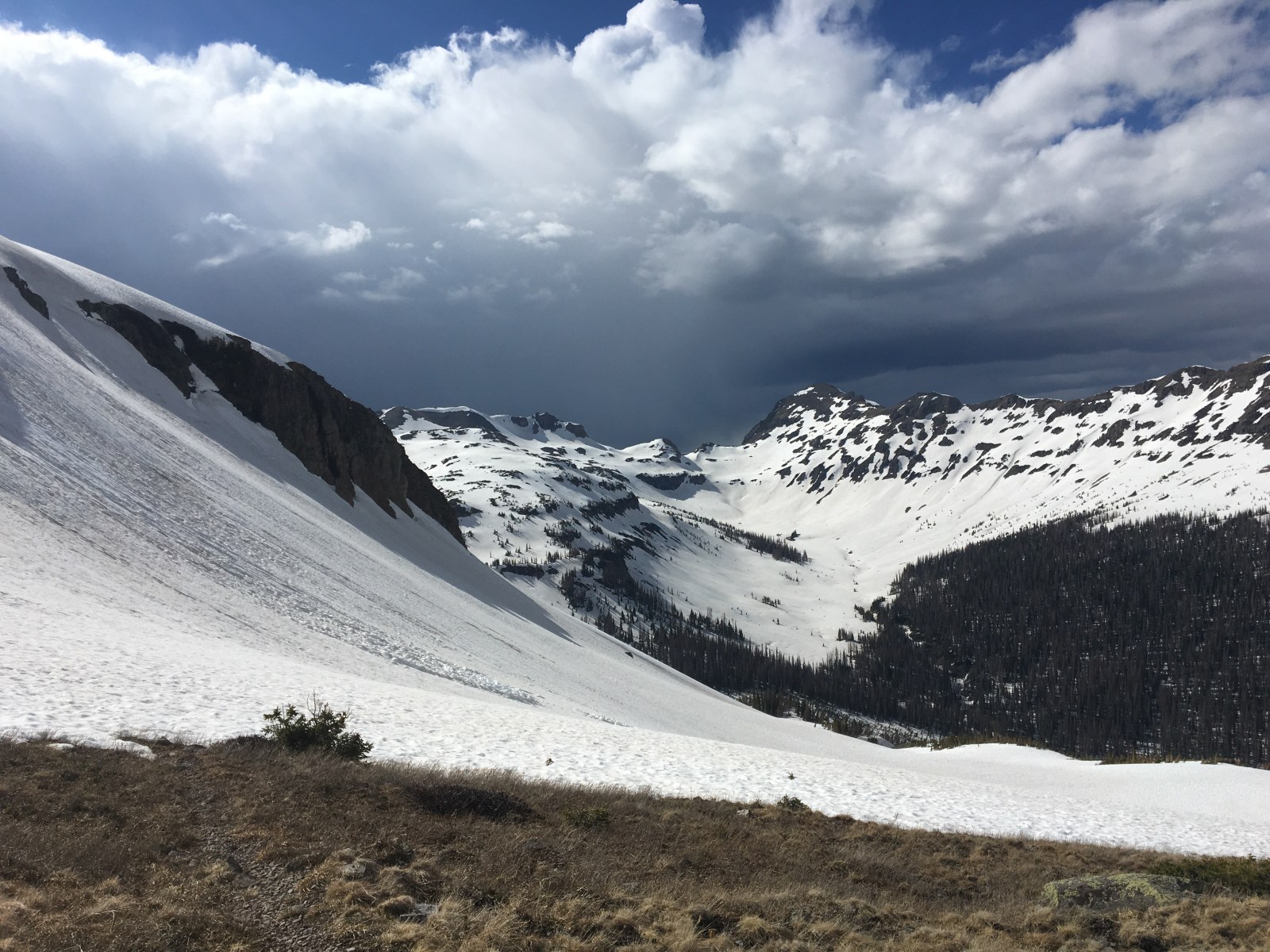
Had another big day out here, slightly less than yesterday but still some big miles. About 10 miles into the day we crossed the border into Wyoming. I think crossing state lines on a thru hike is a big deal; it gives me a sense of accomplishment and also makes me feel like I’m in a whole new place, which I am. Recently I heard Colorado referred to as the hardest state out of any on the triple crown. Although I’ve got a couple states to go I would agree with this statement. Previously I would have said New Hampshire but since it’s only about 160 miles, so I guess I’ll give NH the pound for pound title. Colorado has been amazingly beautiful and at the same time consistently difficult and relentless. I had very few easy days through CO. Still awesome though. After we crossed into Wyoming we followed the trail up and down through open fields and forests for about 20 miles before reaching Battle Pass this evening. We didn’t see another person all day and then there was absolutely no traffic at the Pass. For a few minutes I was concerned that the world had ended. It didn’t. After awhile of trying to hitch we called a hotel in town and the owner, Desi, drove up and gave us a ride down into Encampment. Spending the night here, resupplying and getting back at it tomorrow evening or something. Follow me on insta for more pictures @endlesspsummer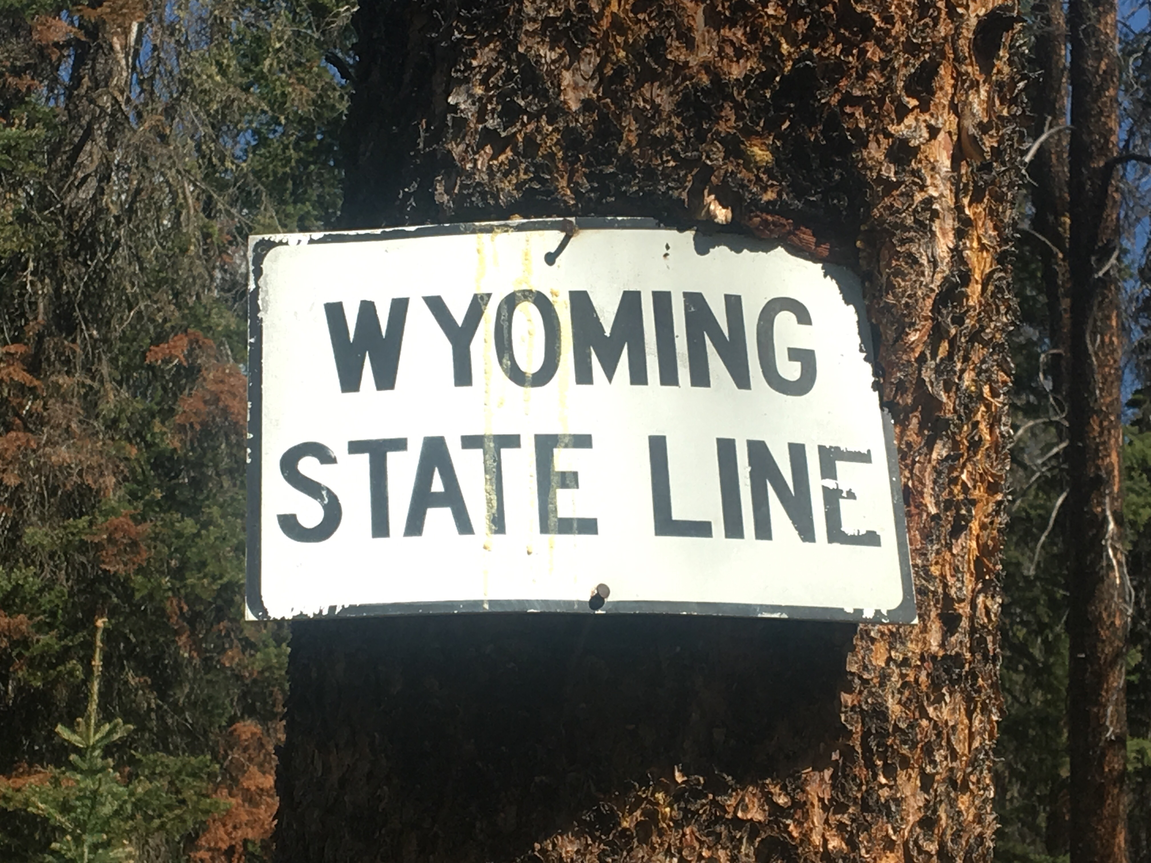 Yeah it is
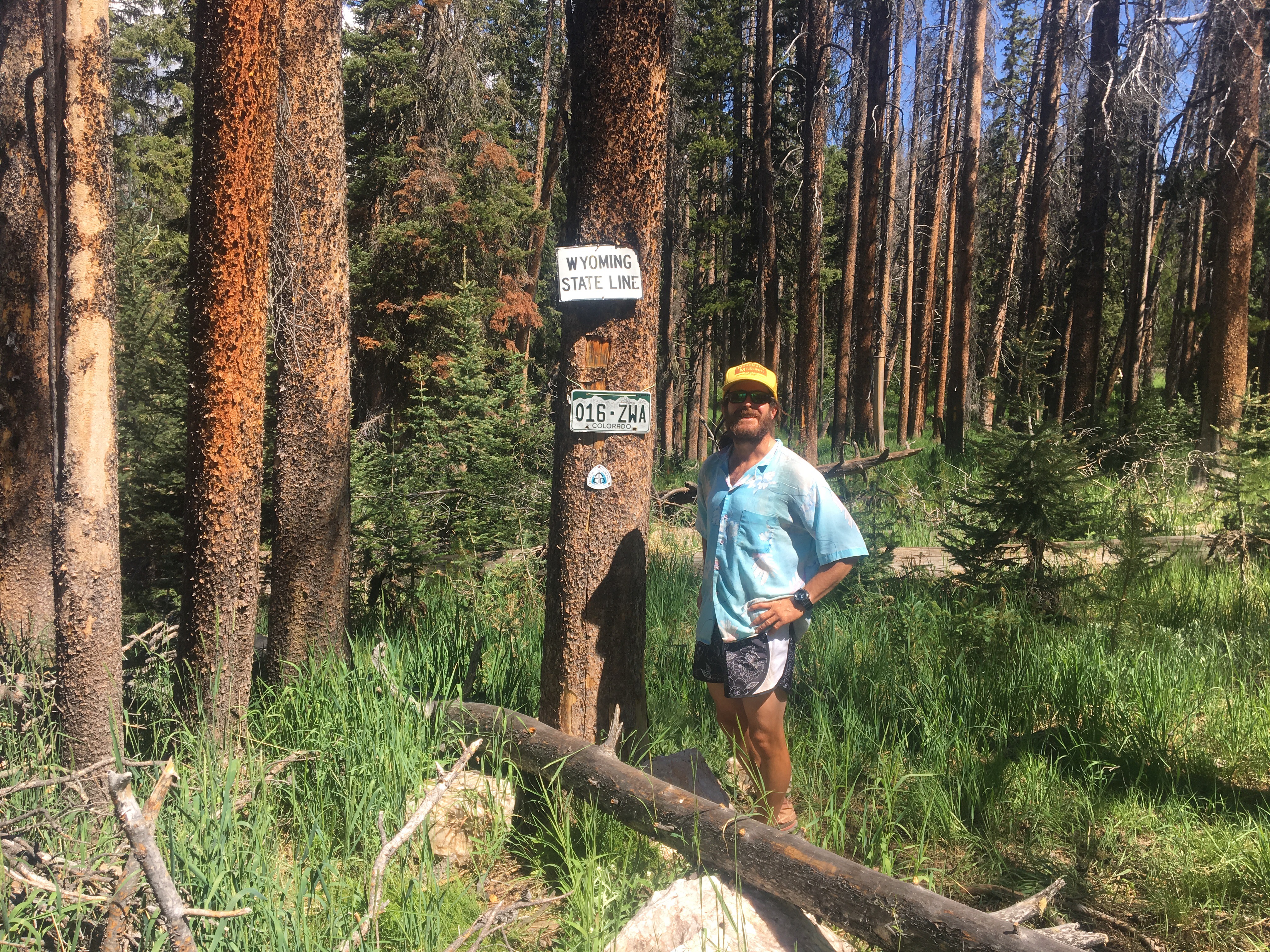

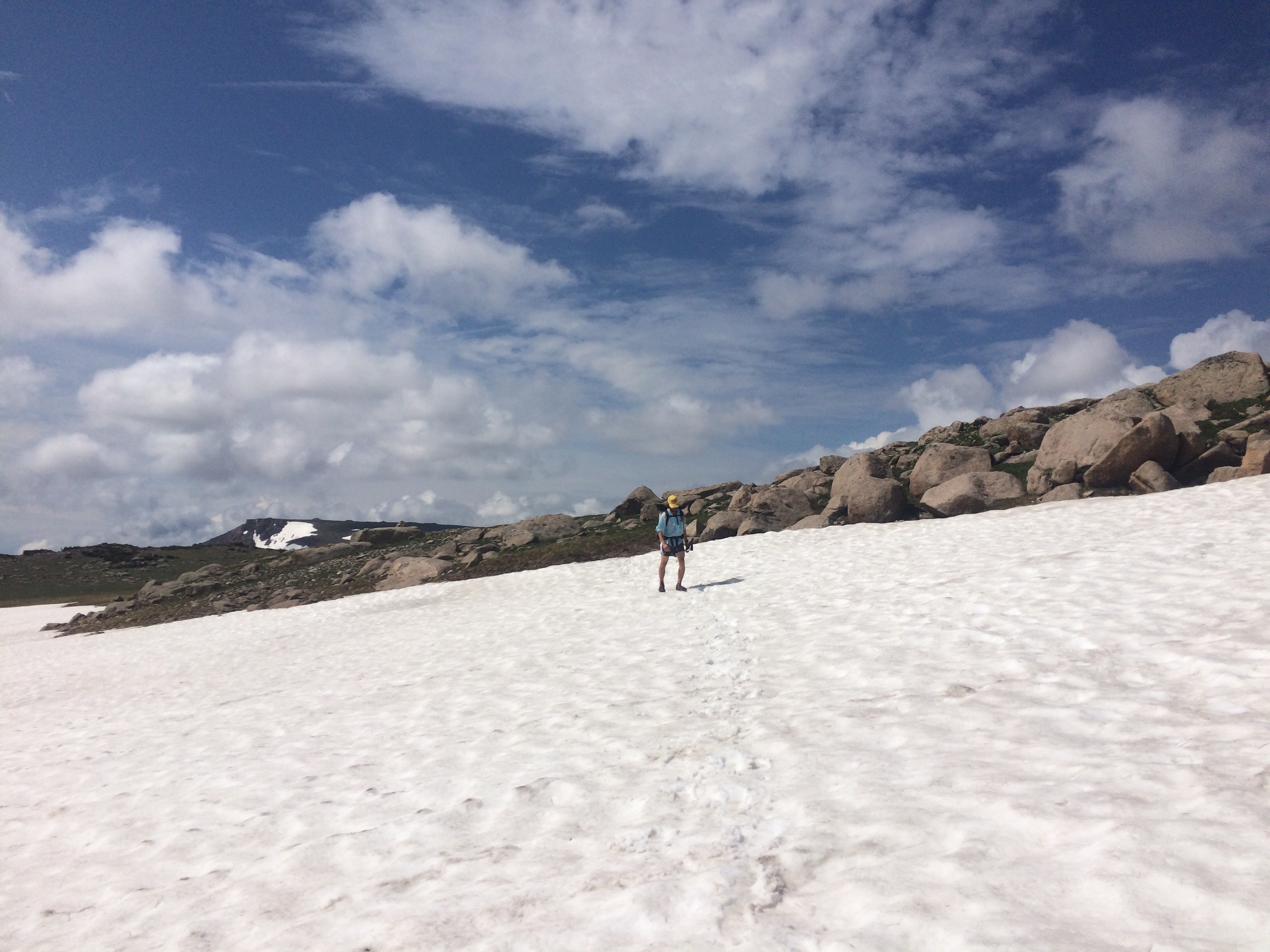
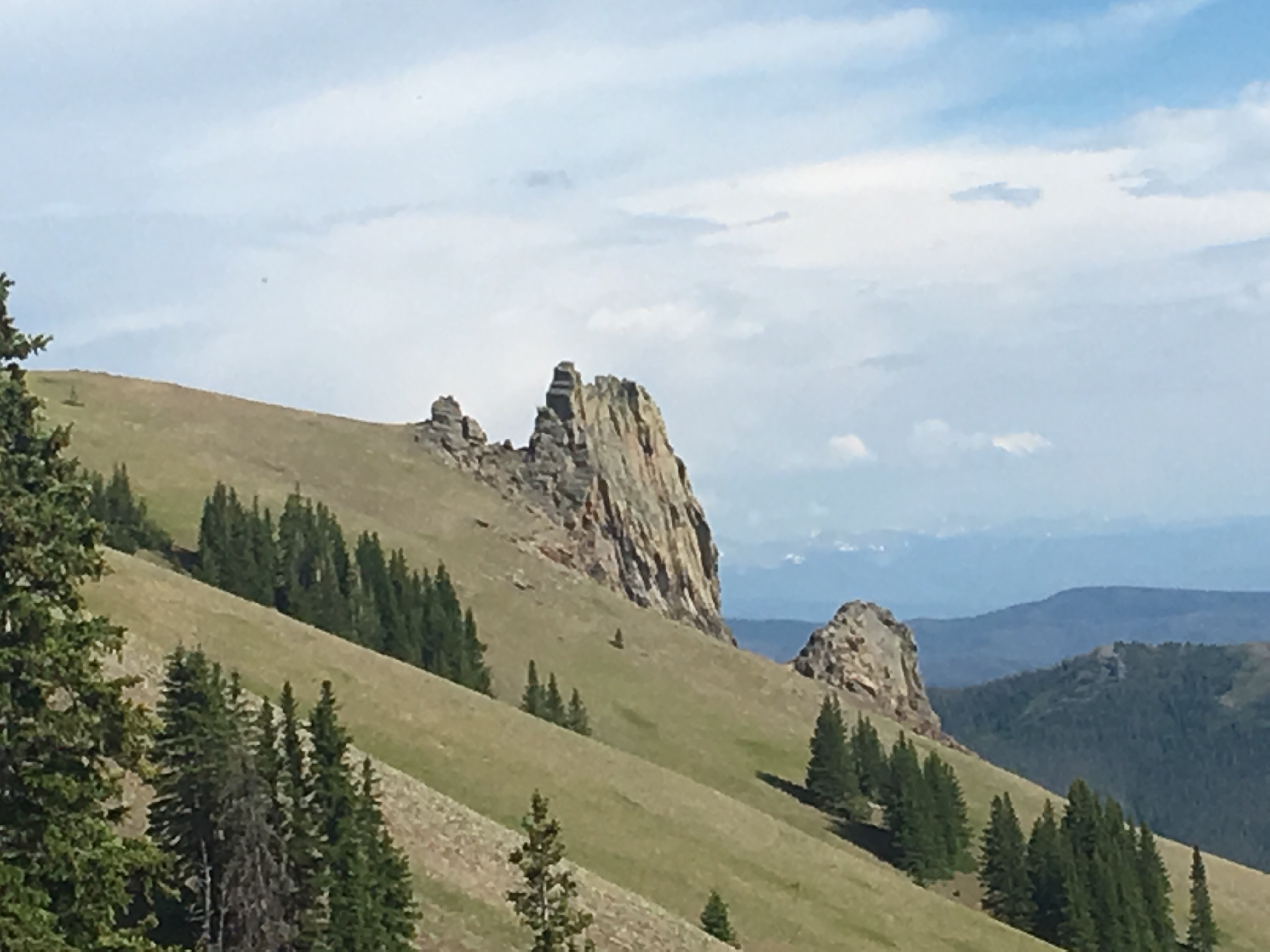
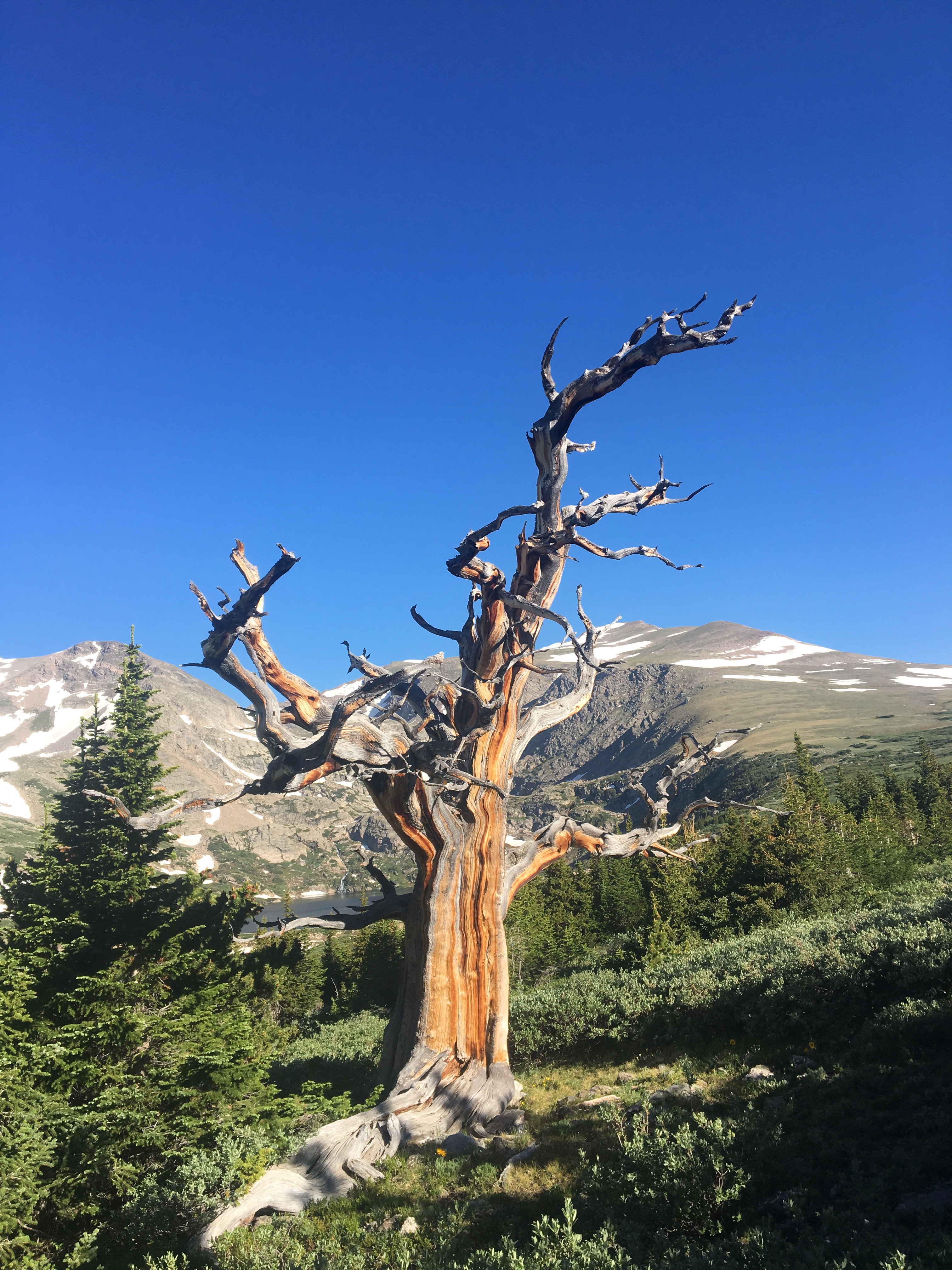
 quartz(I think) everywhere as soon as we got into Wyoming
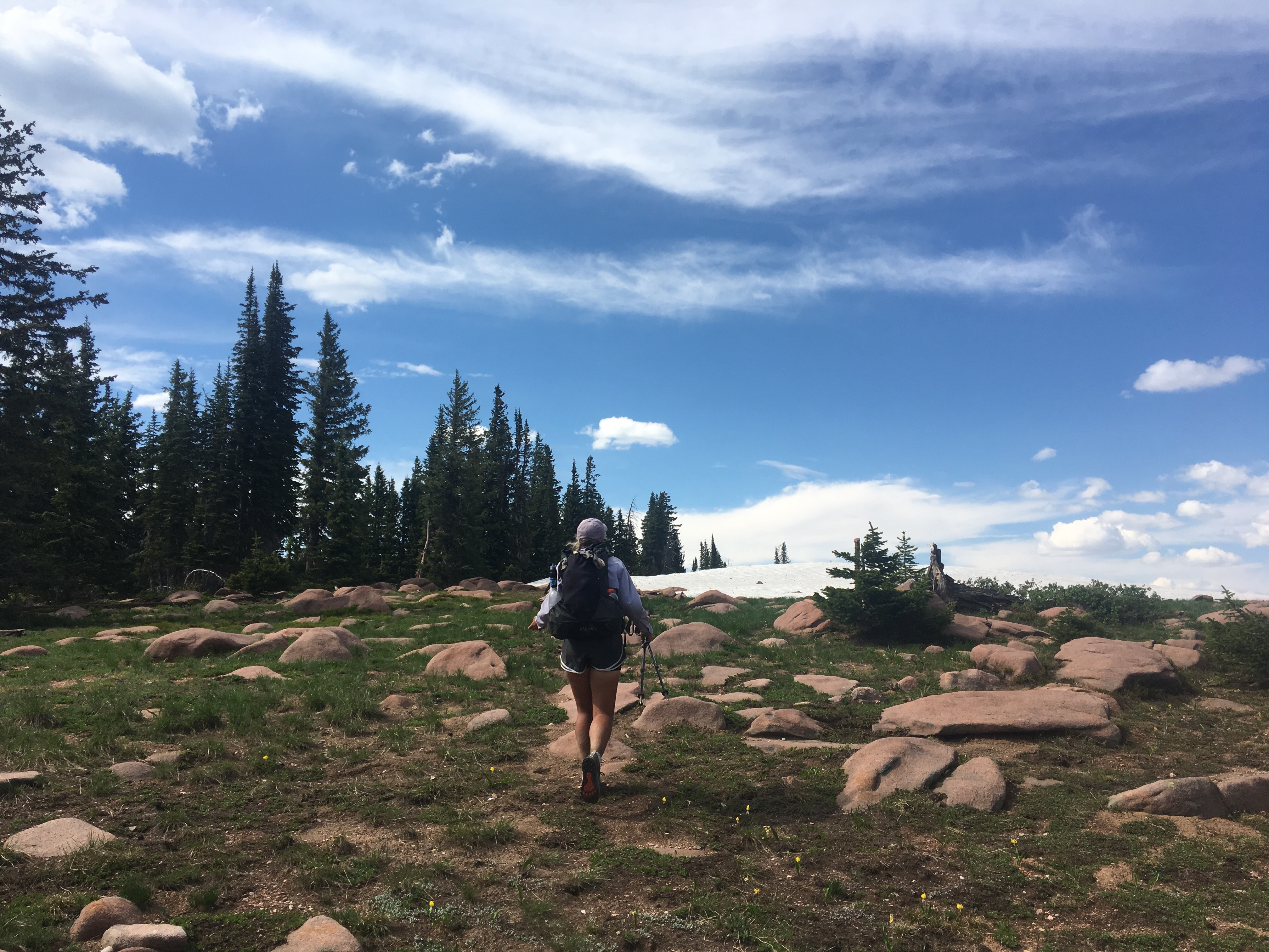 Queen B walking to Canada
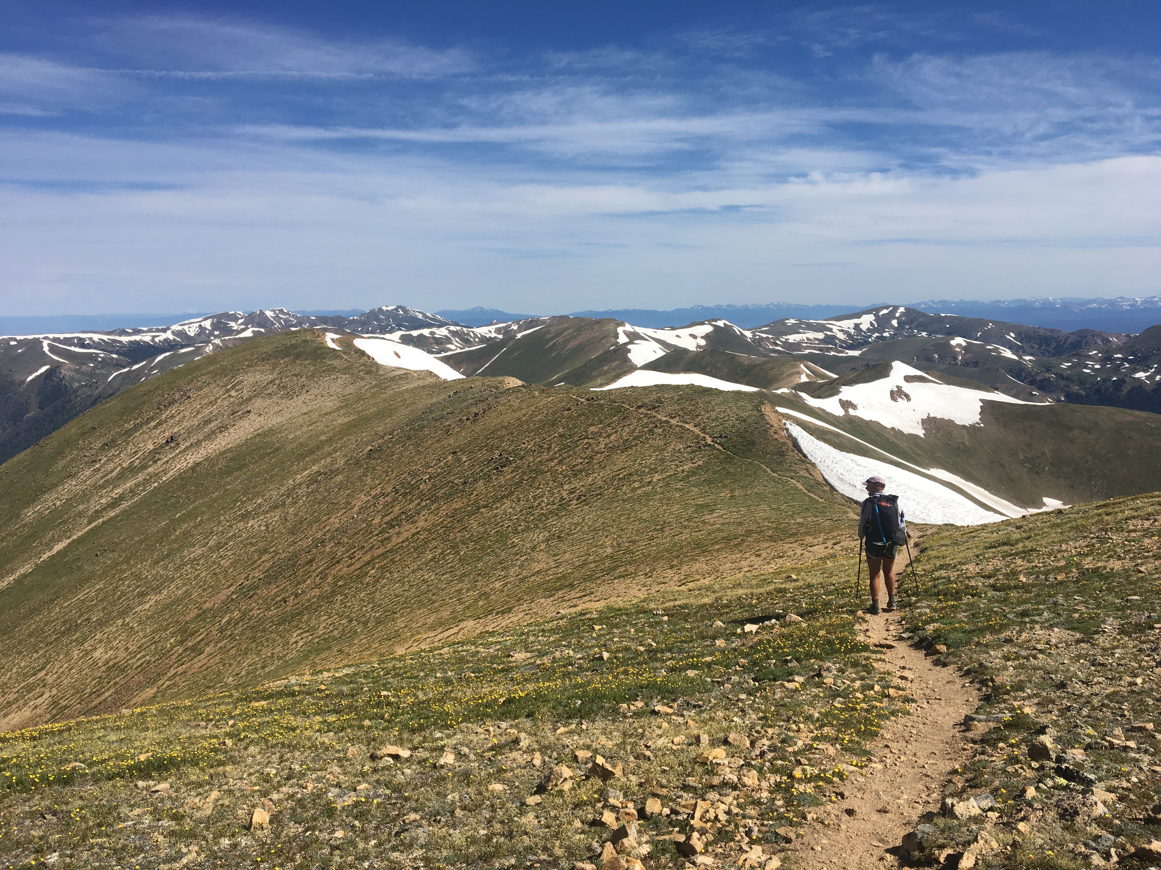
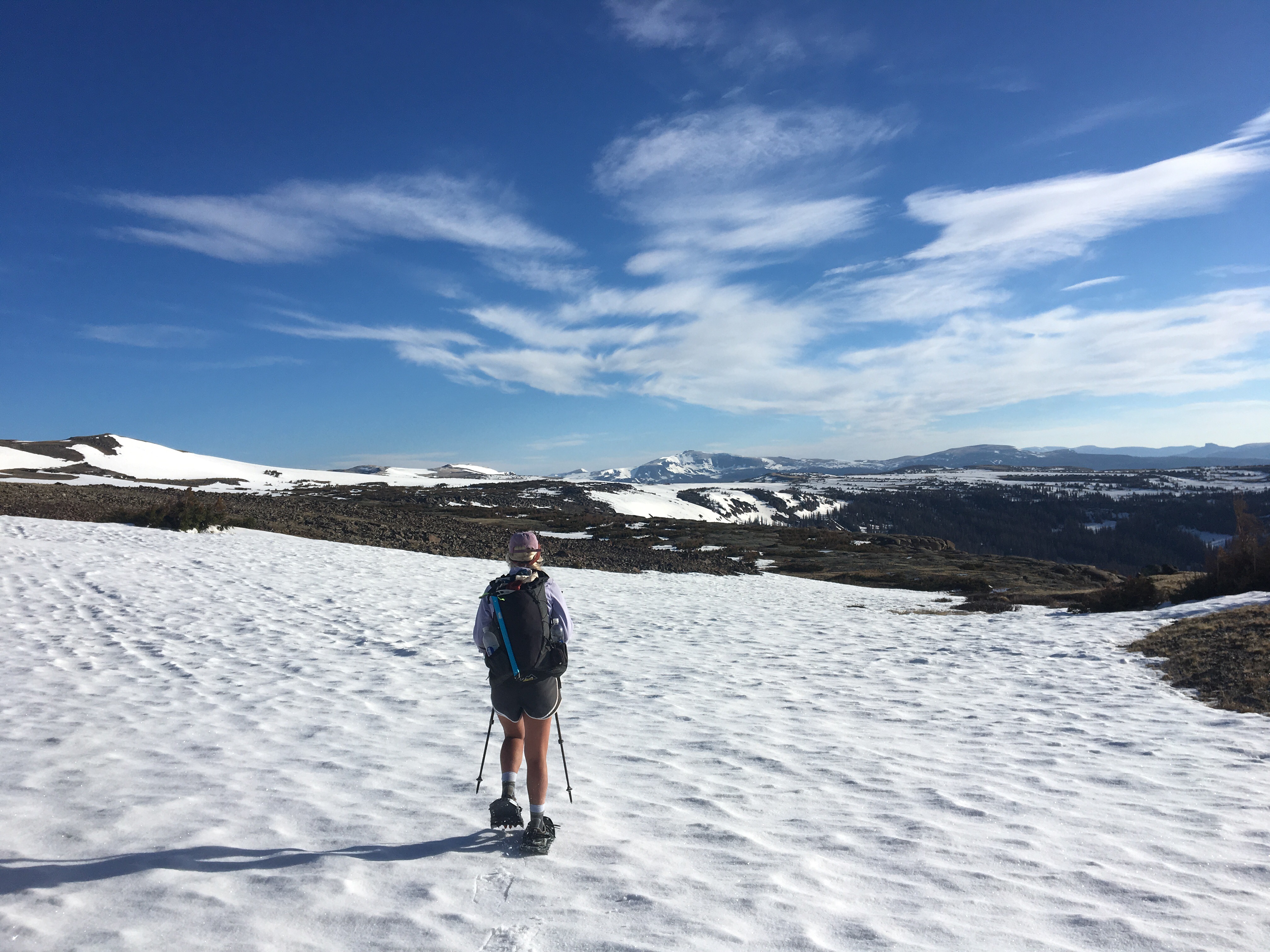
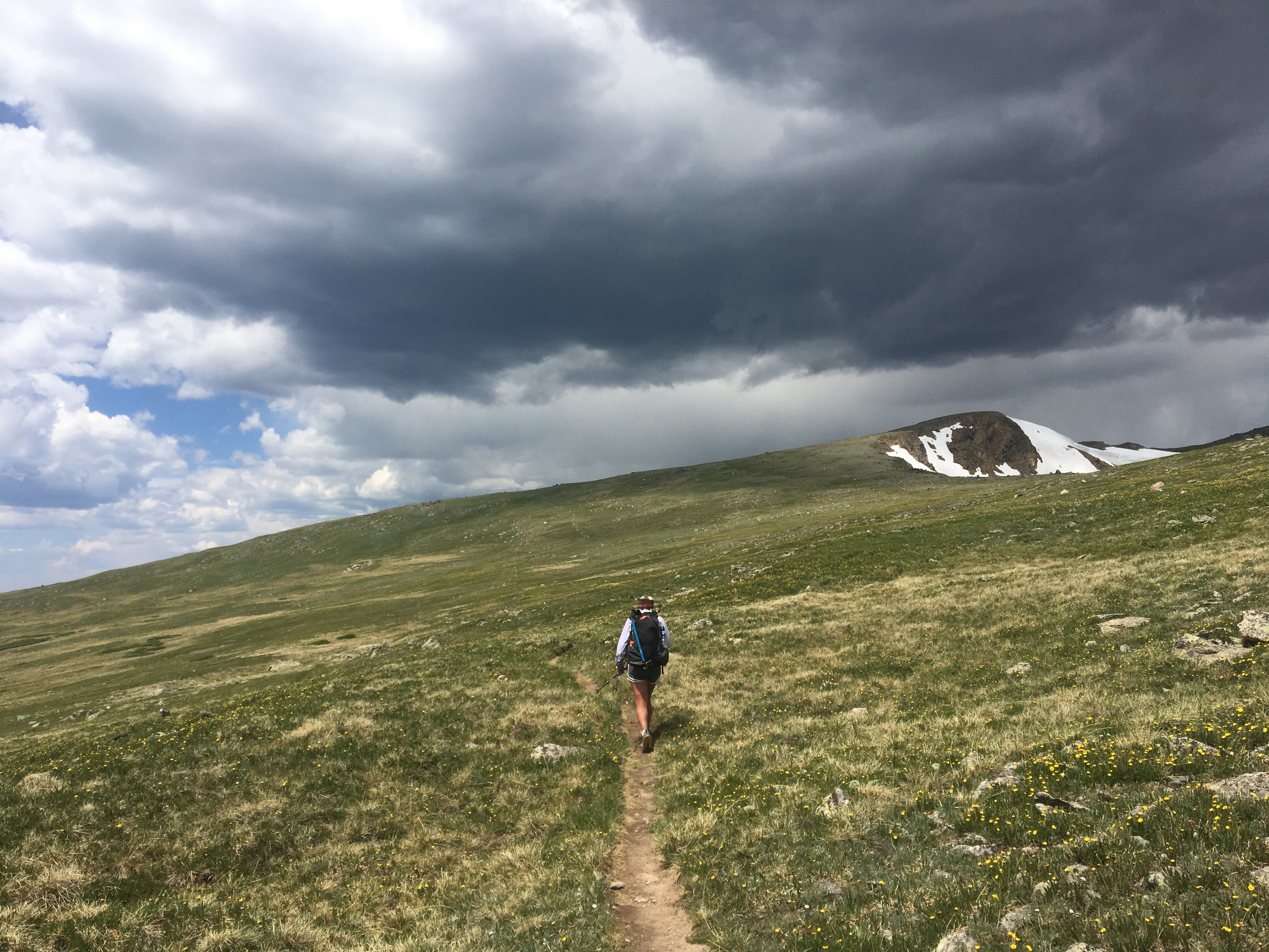
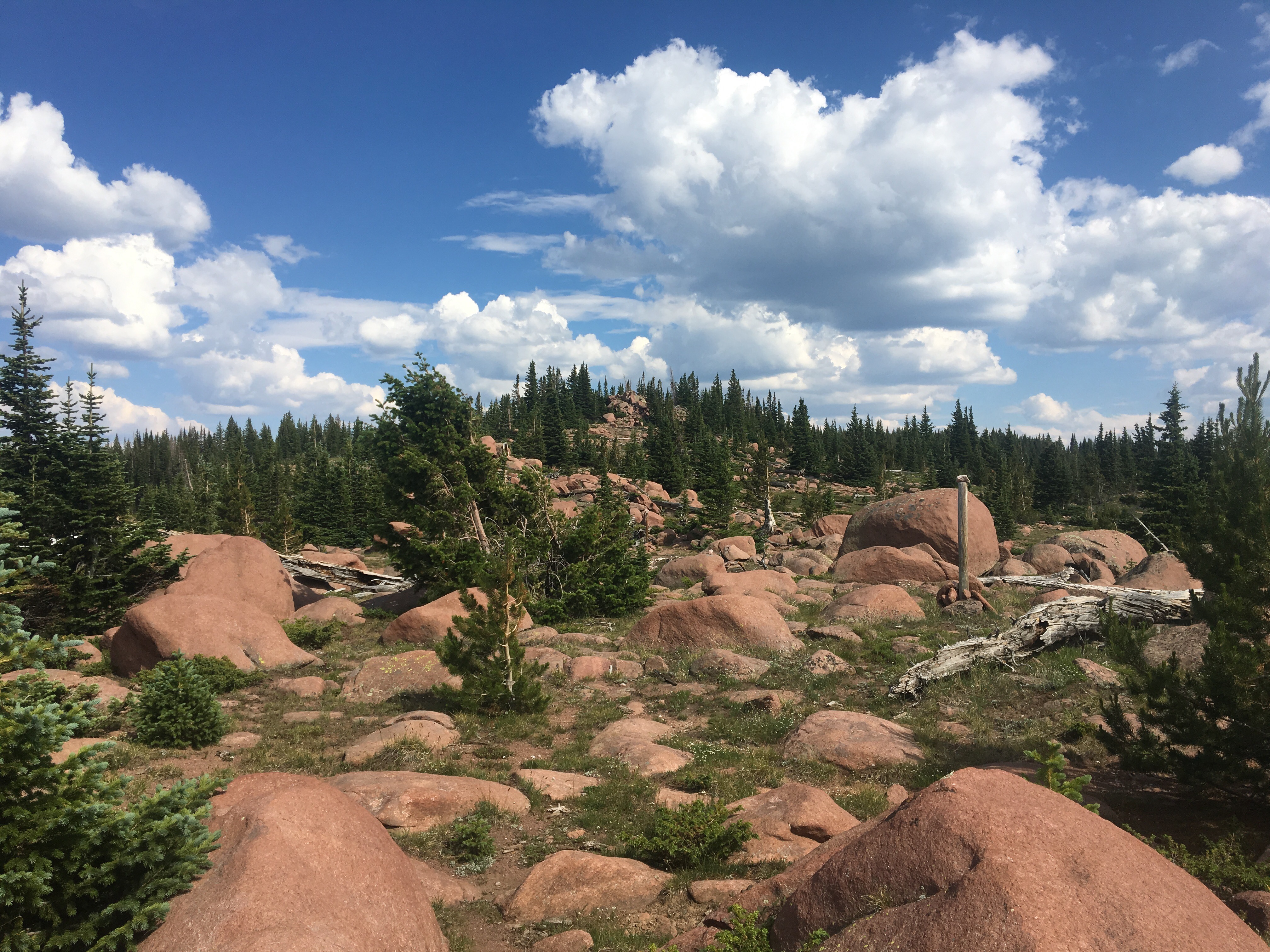 until next time,
Endless
PS All My Love!!!


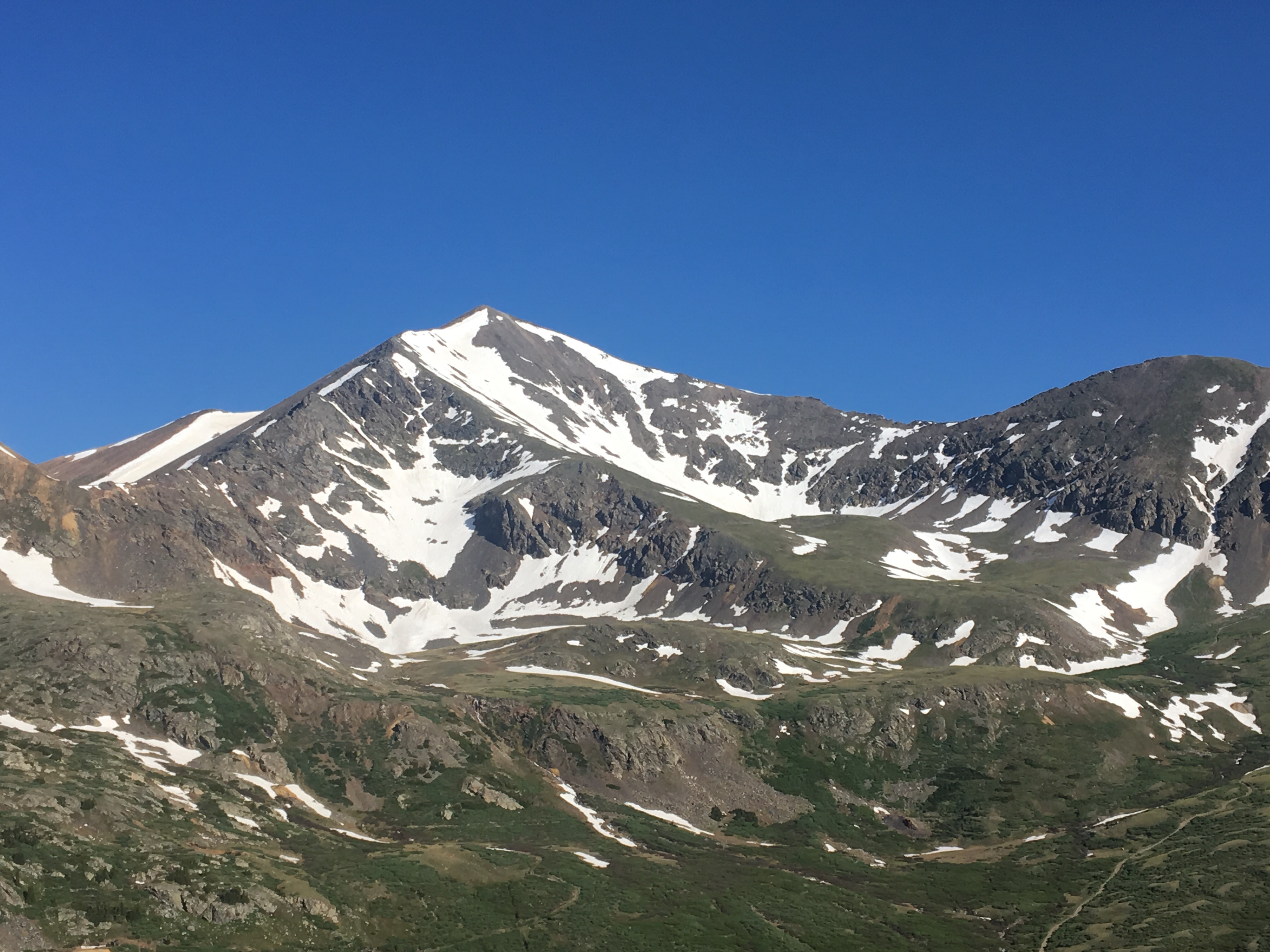
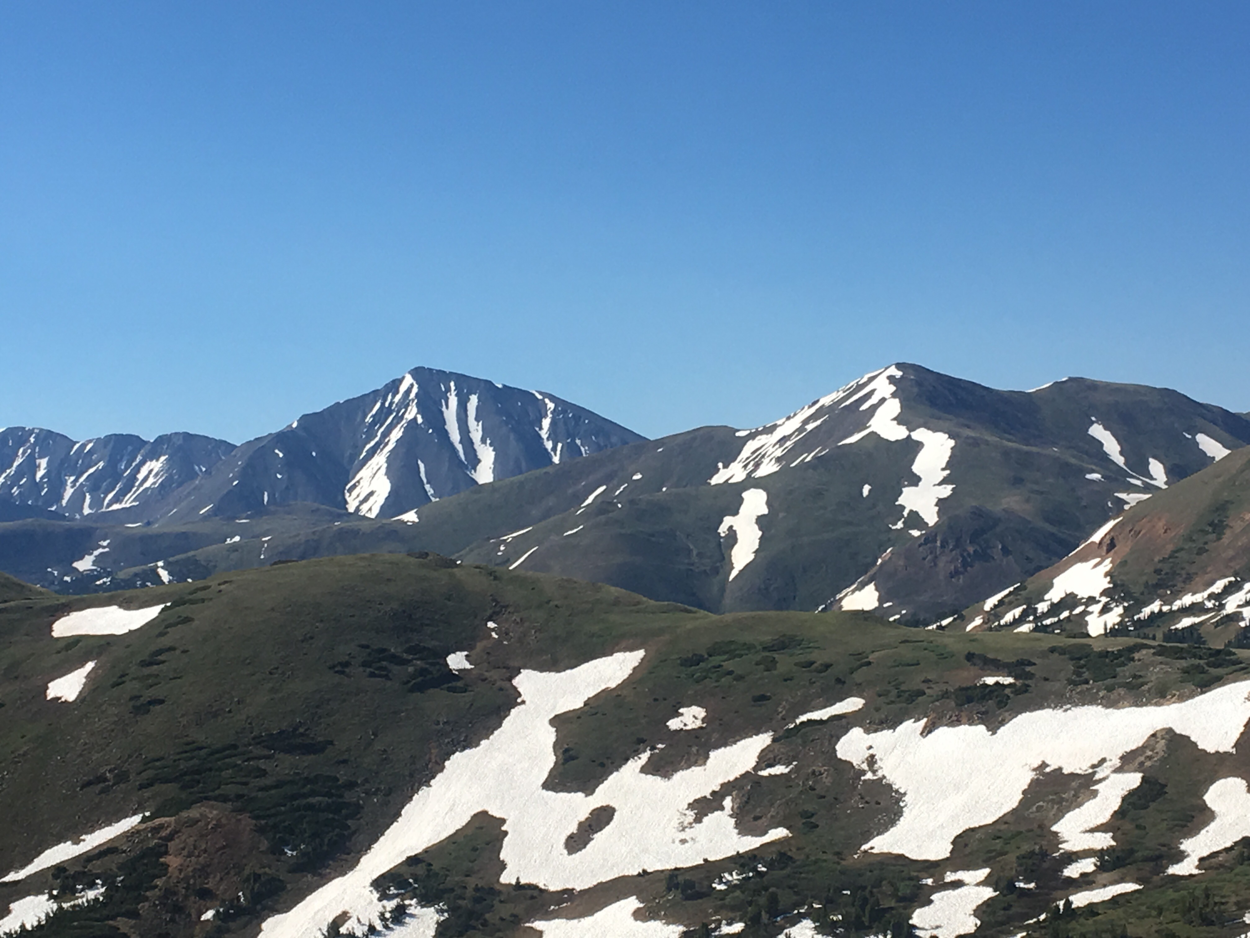
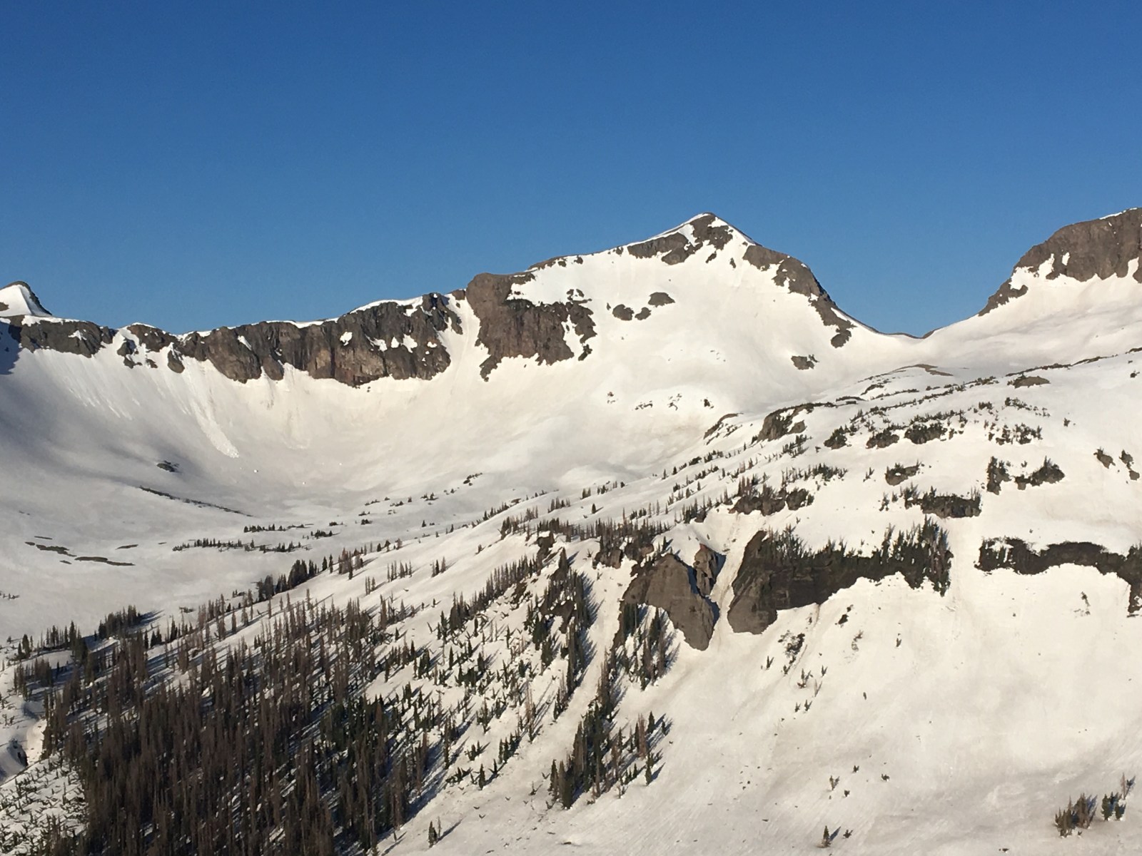
 the beefy Mt Guyot

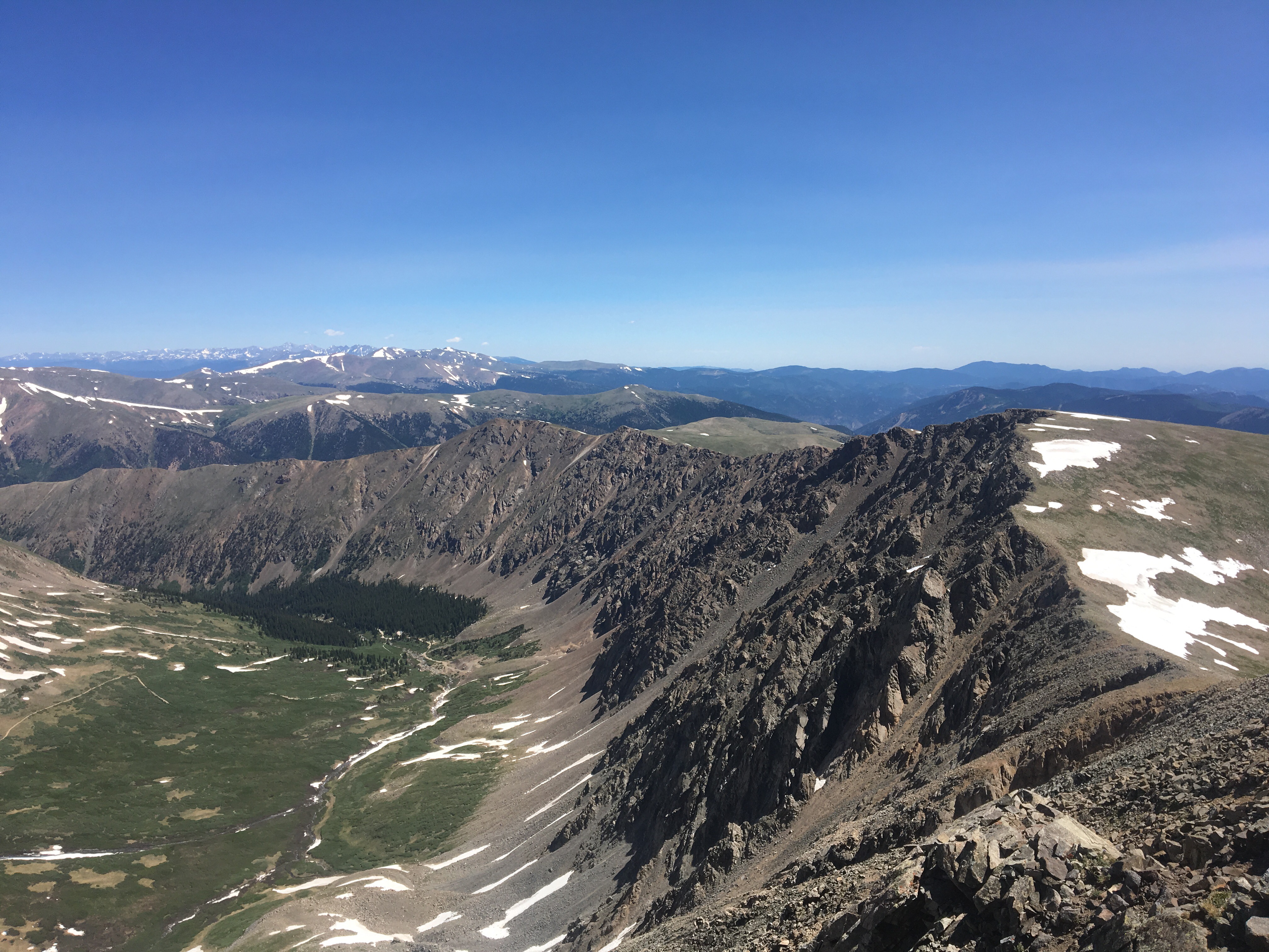
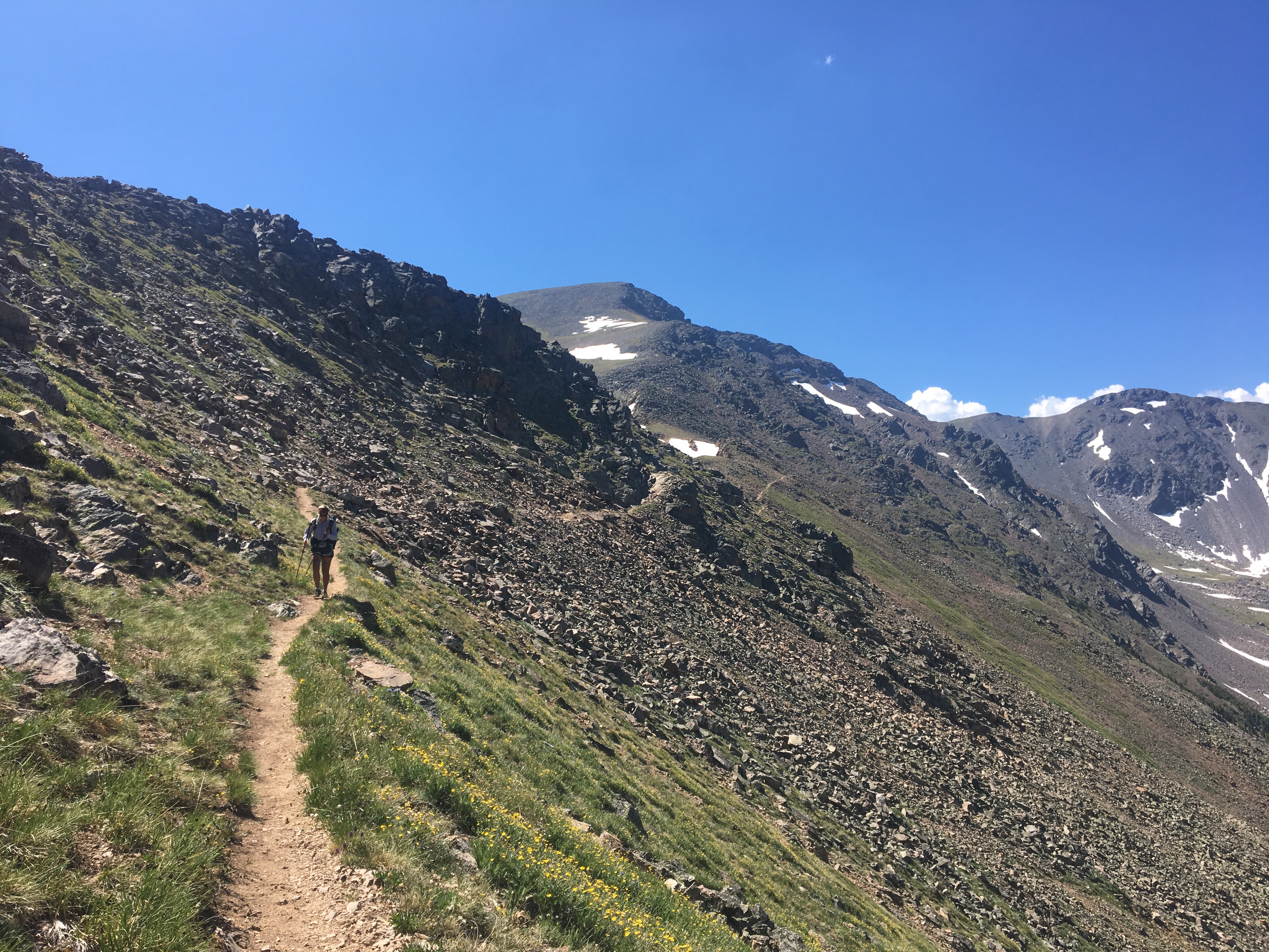
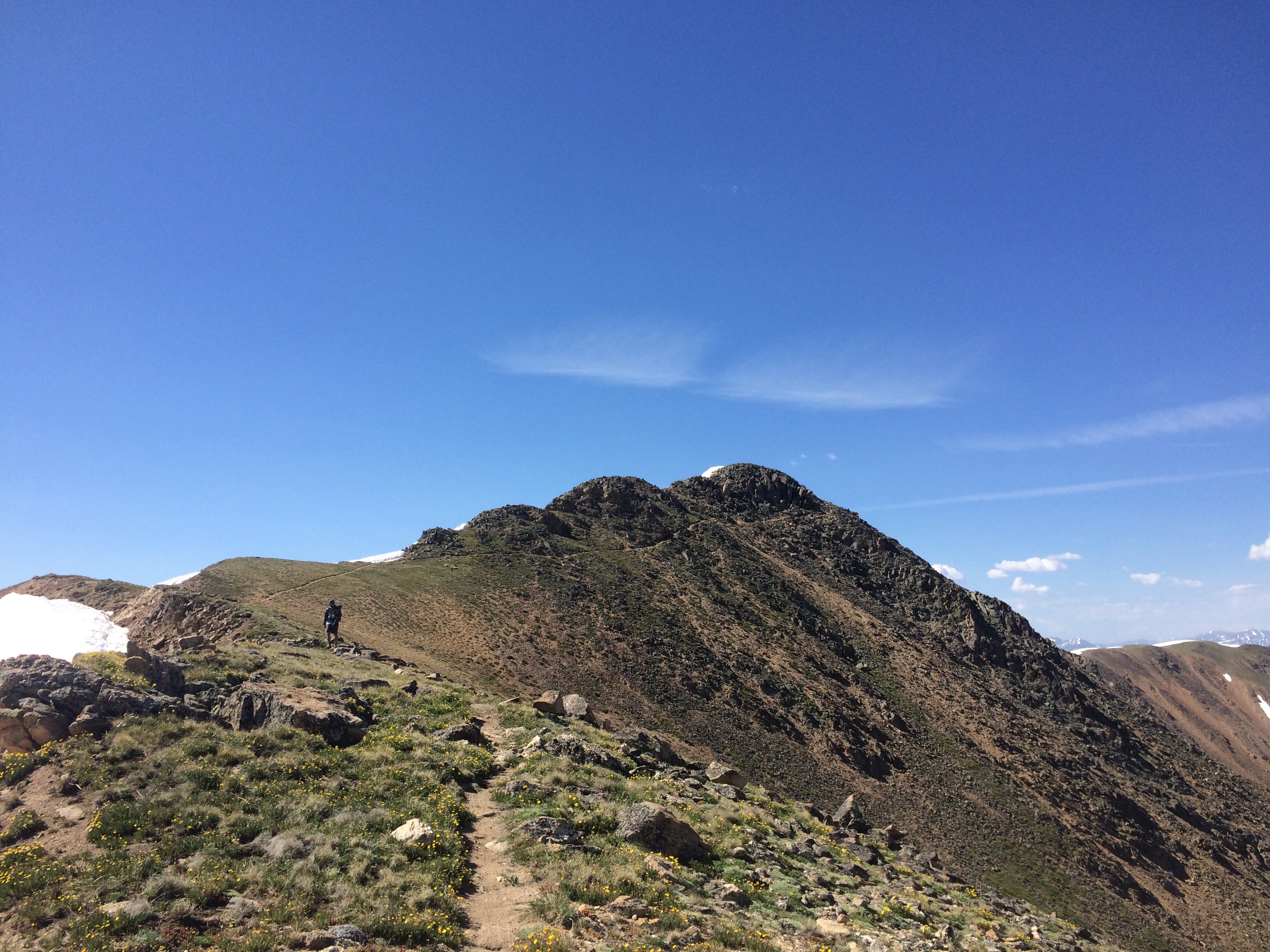
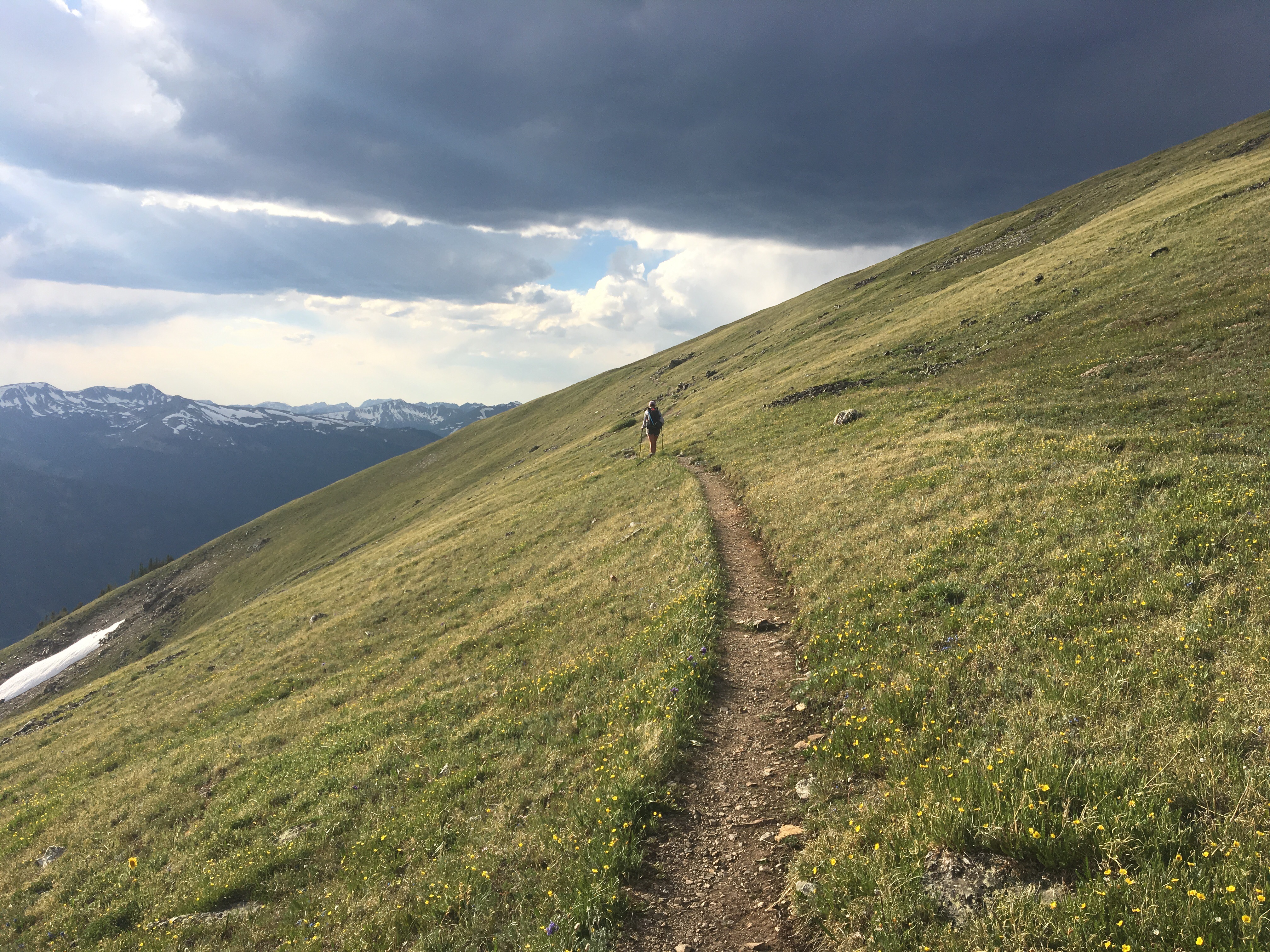
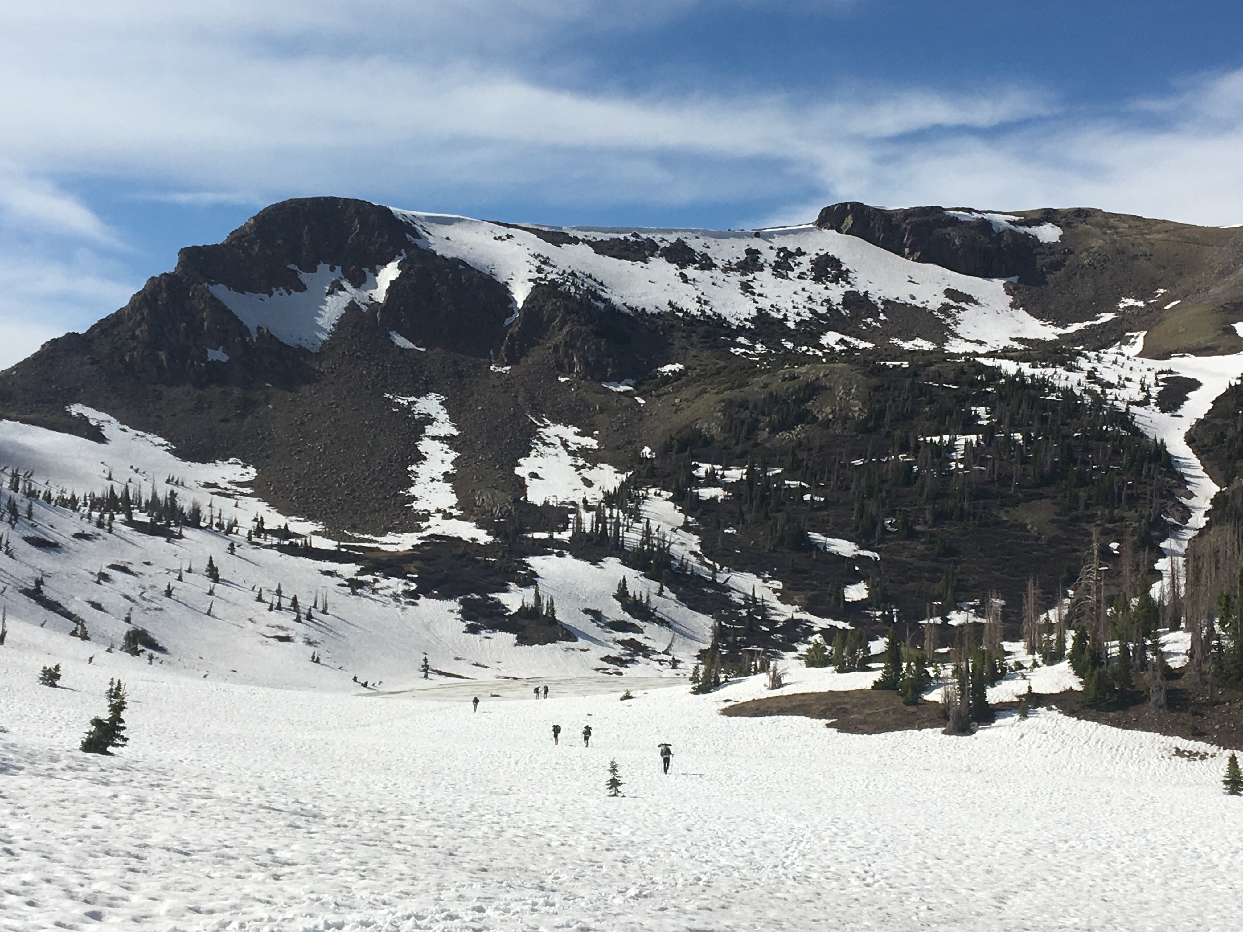
 QB walking up to the Spine
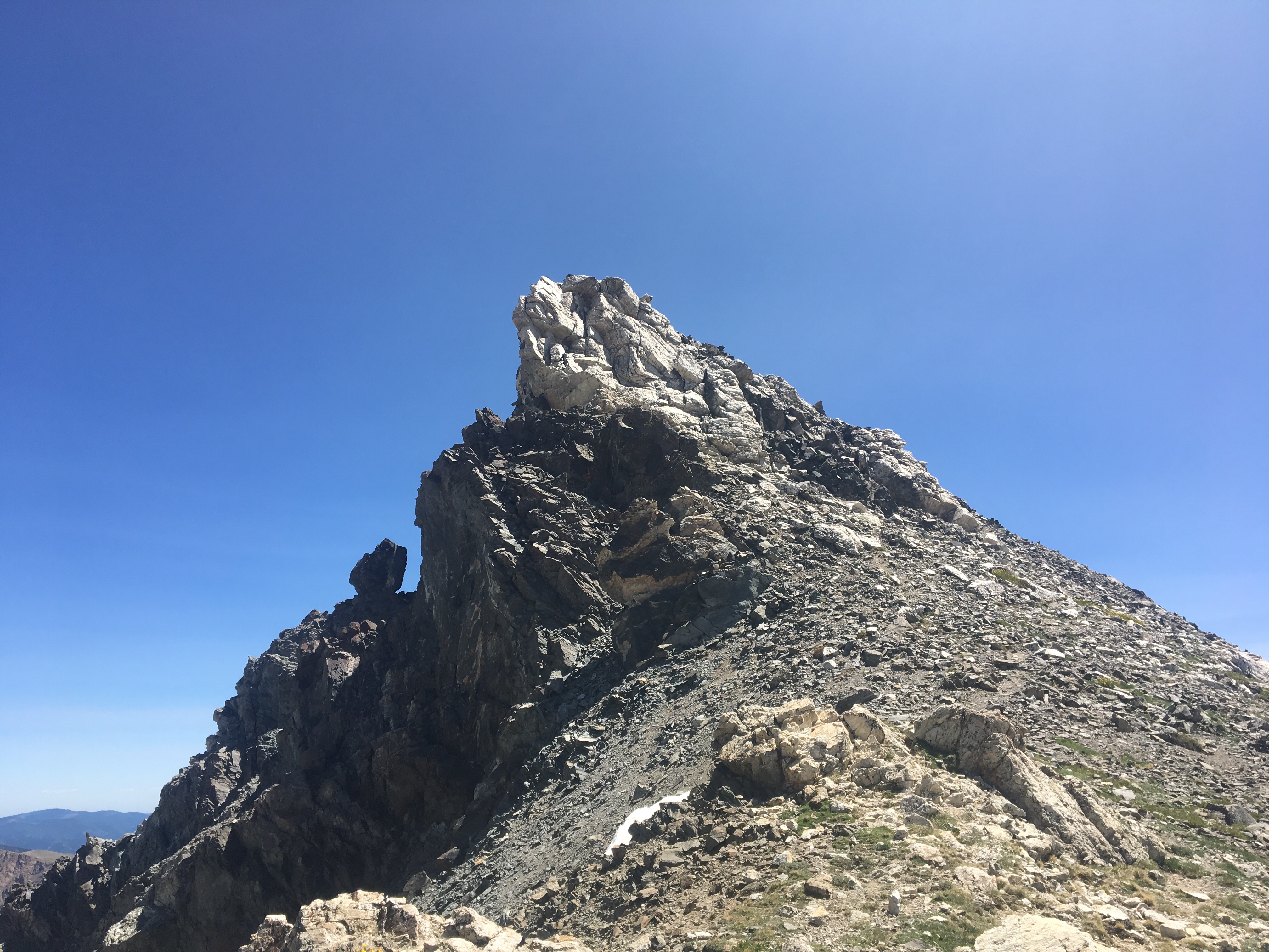

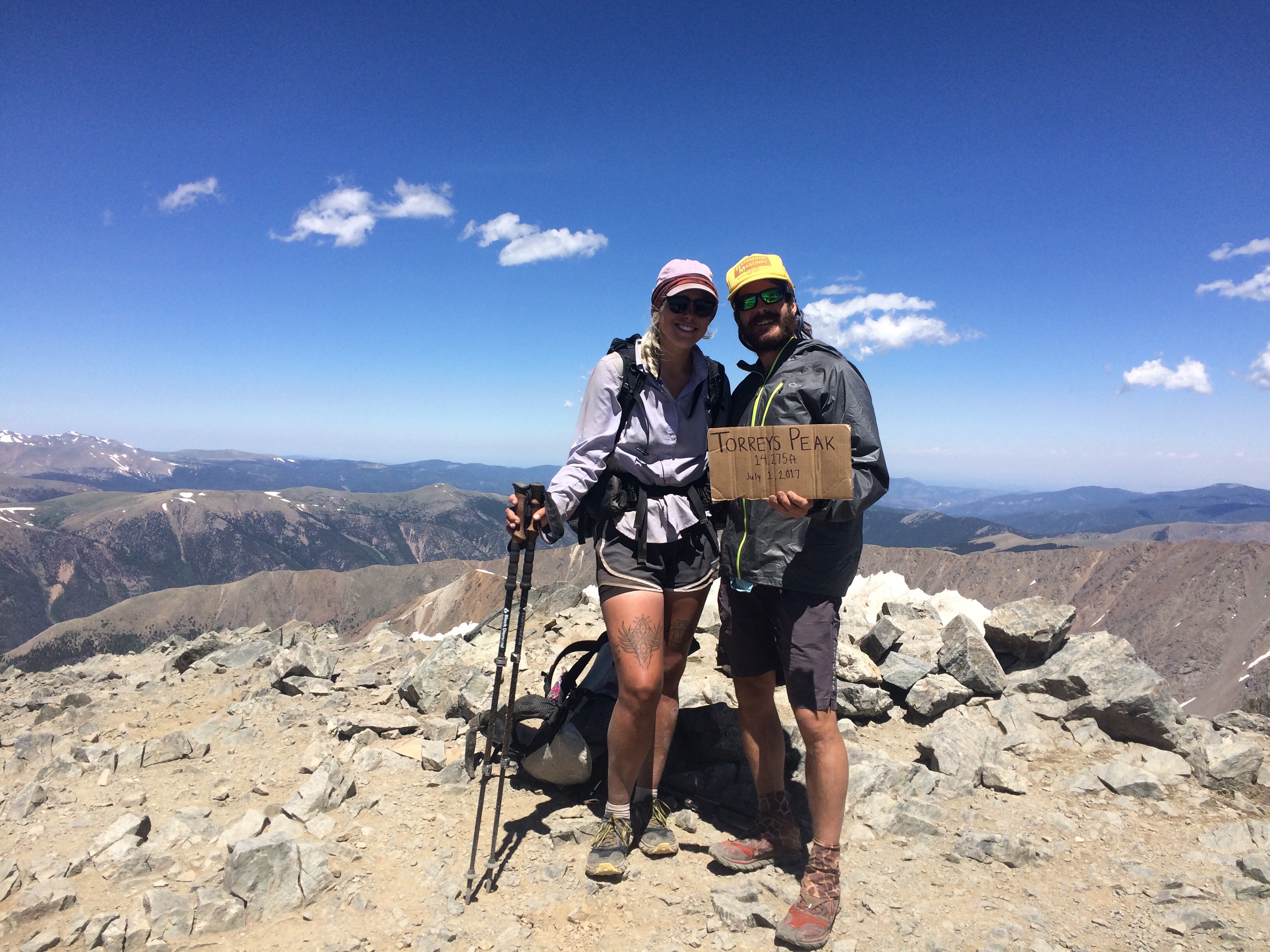
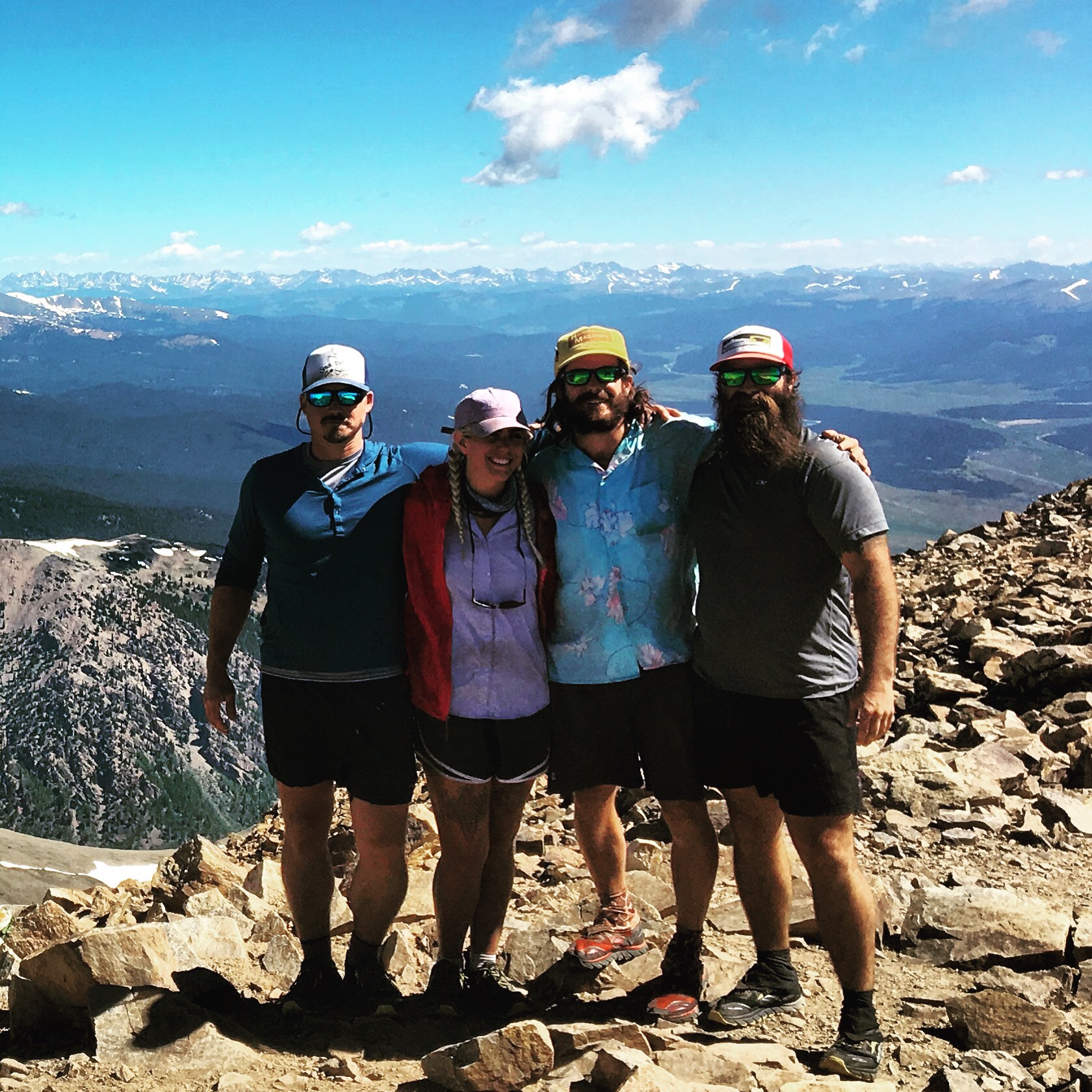


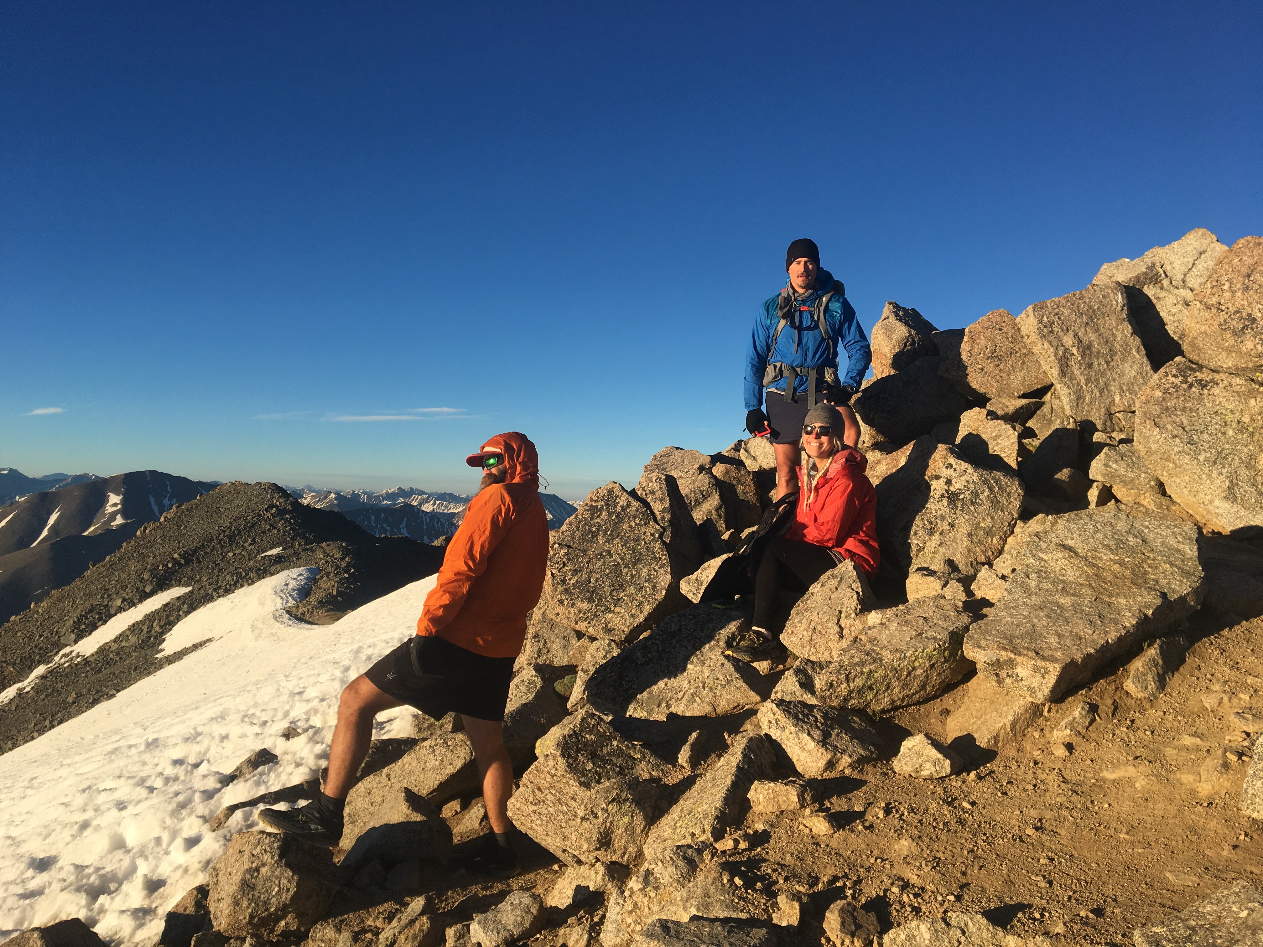 Pretty solid crew to climb up Colorado’s 2 tallest peaks with


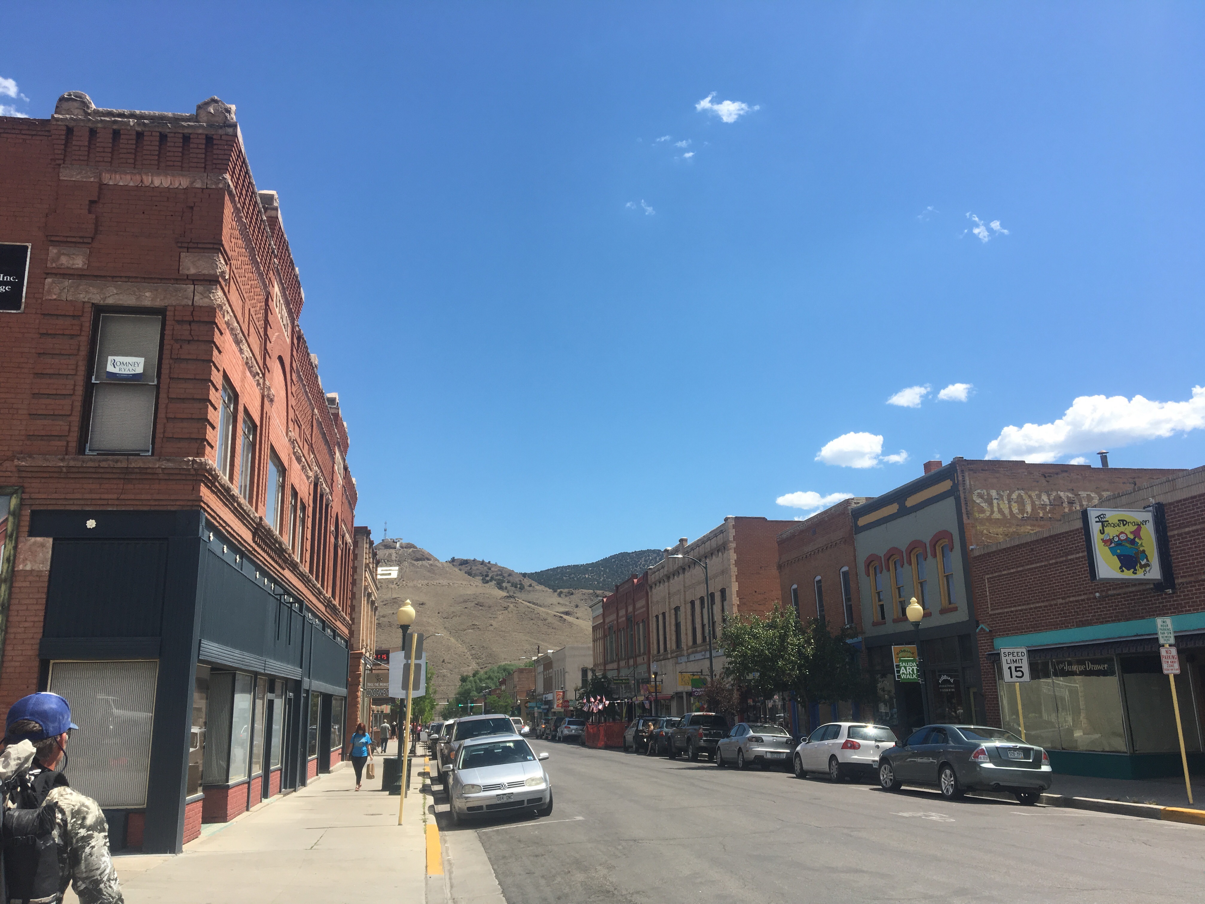 Salida, CO
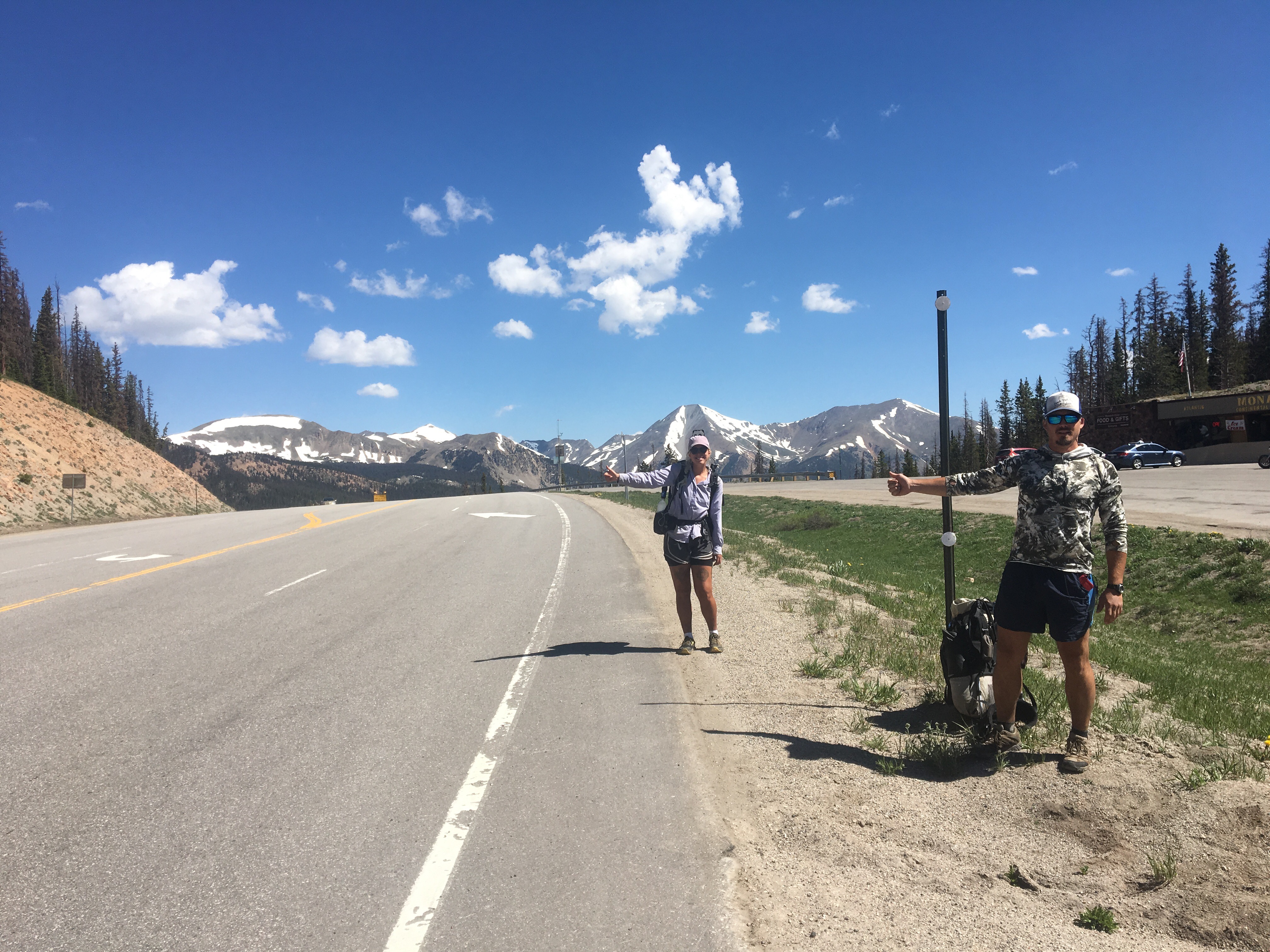
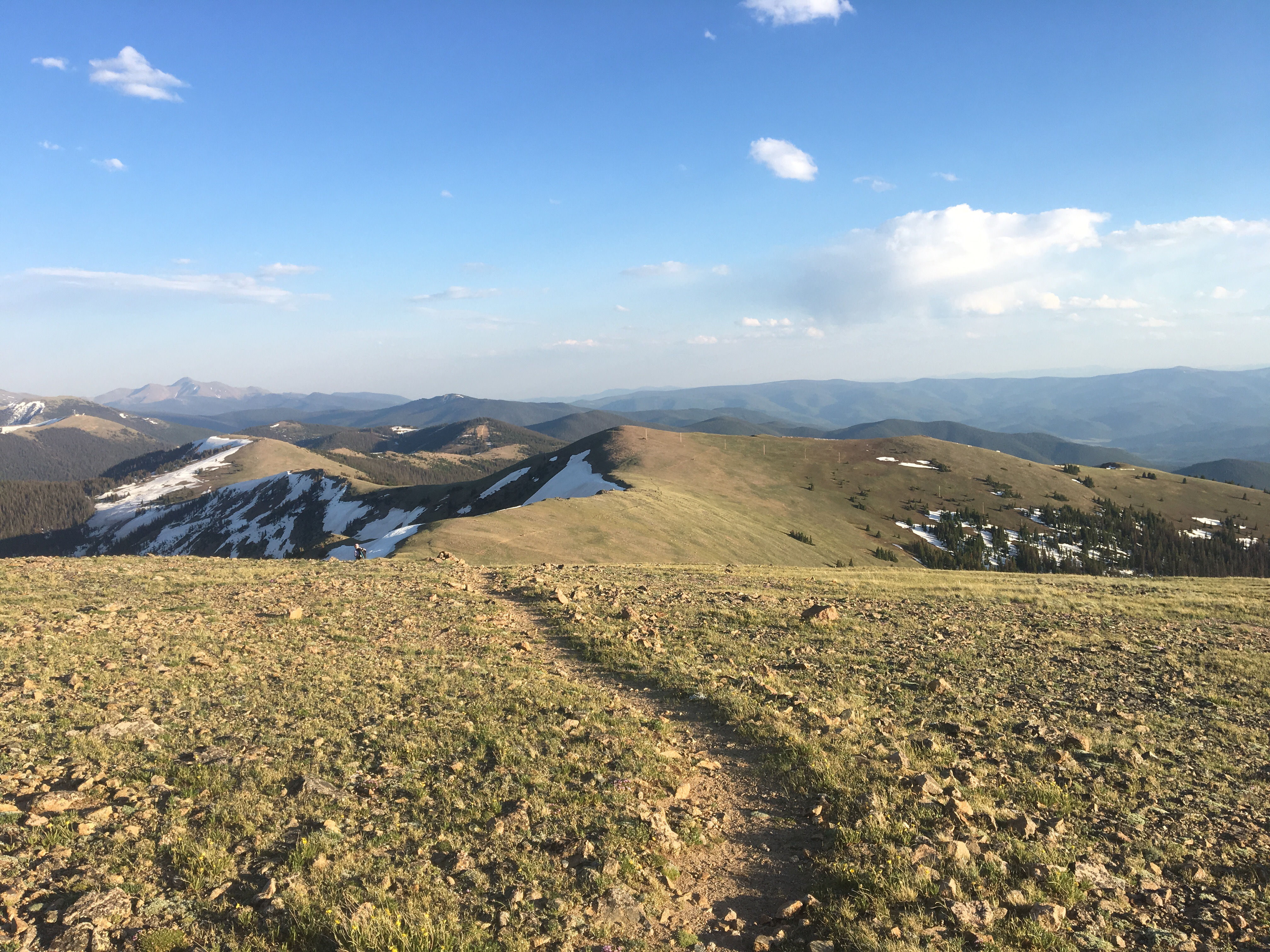


 So many hikers on trail
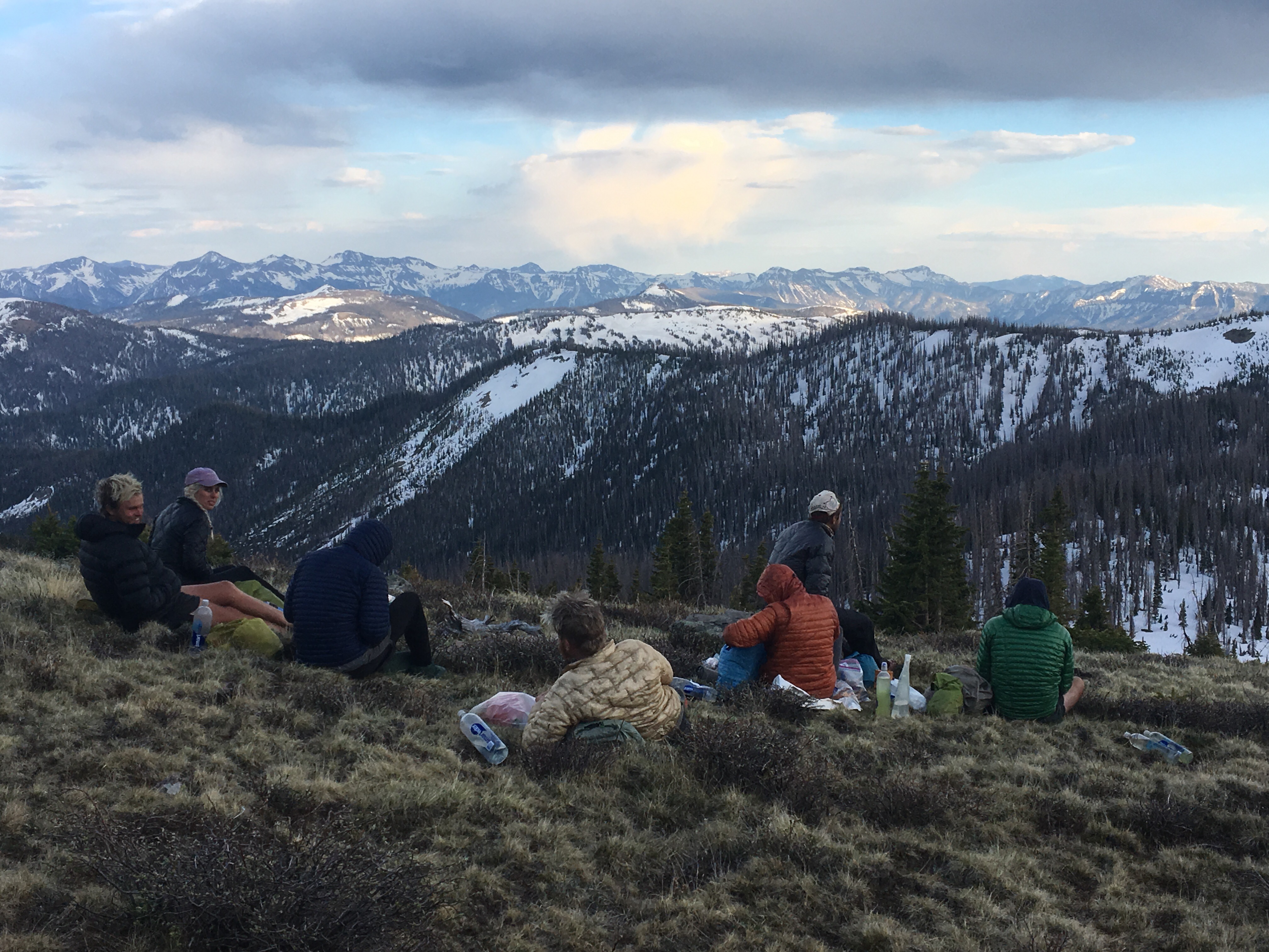

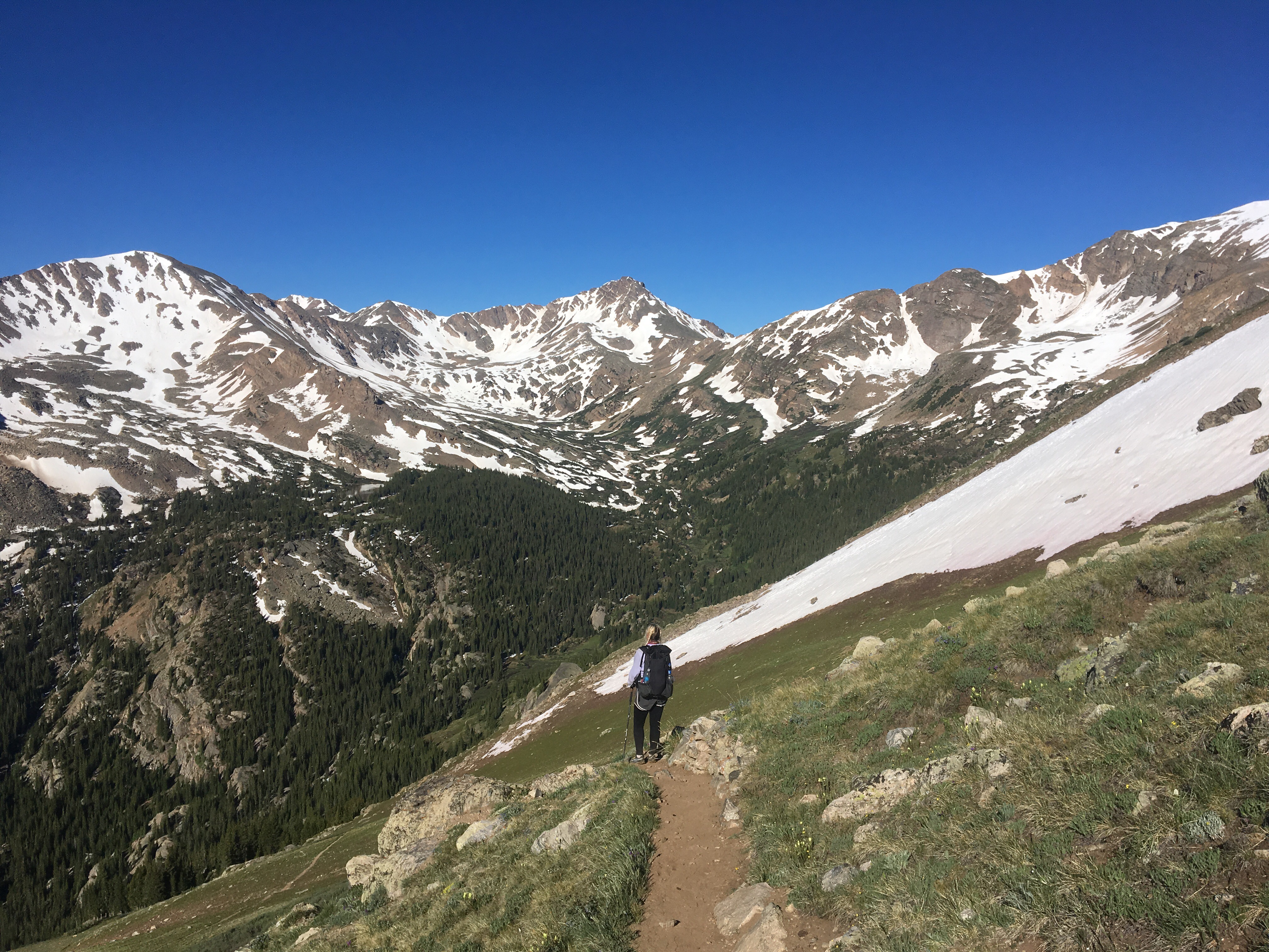
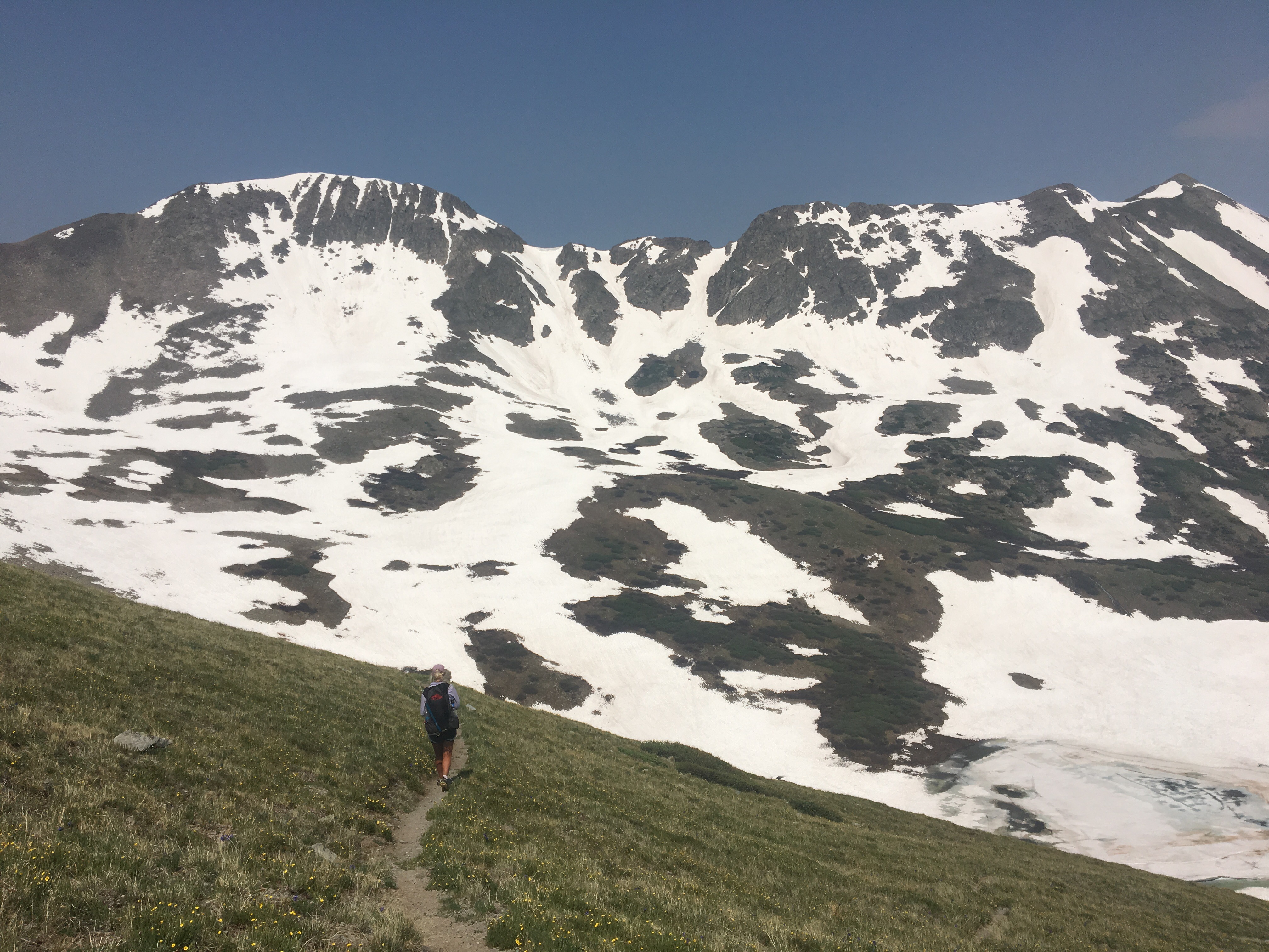
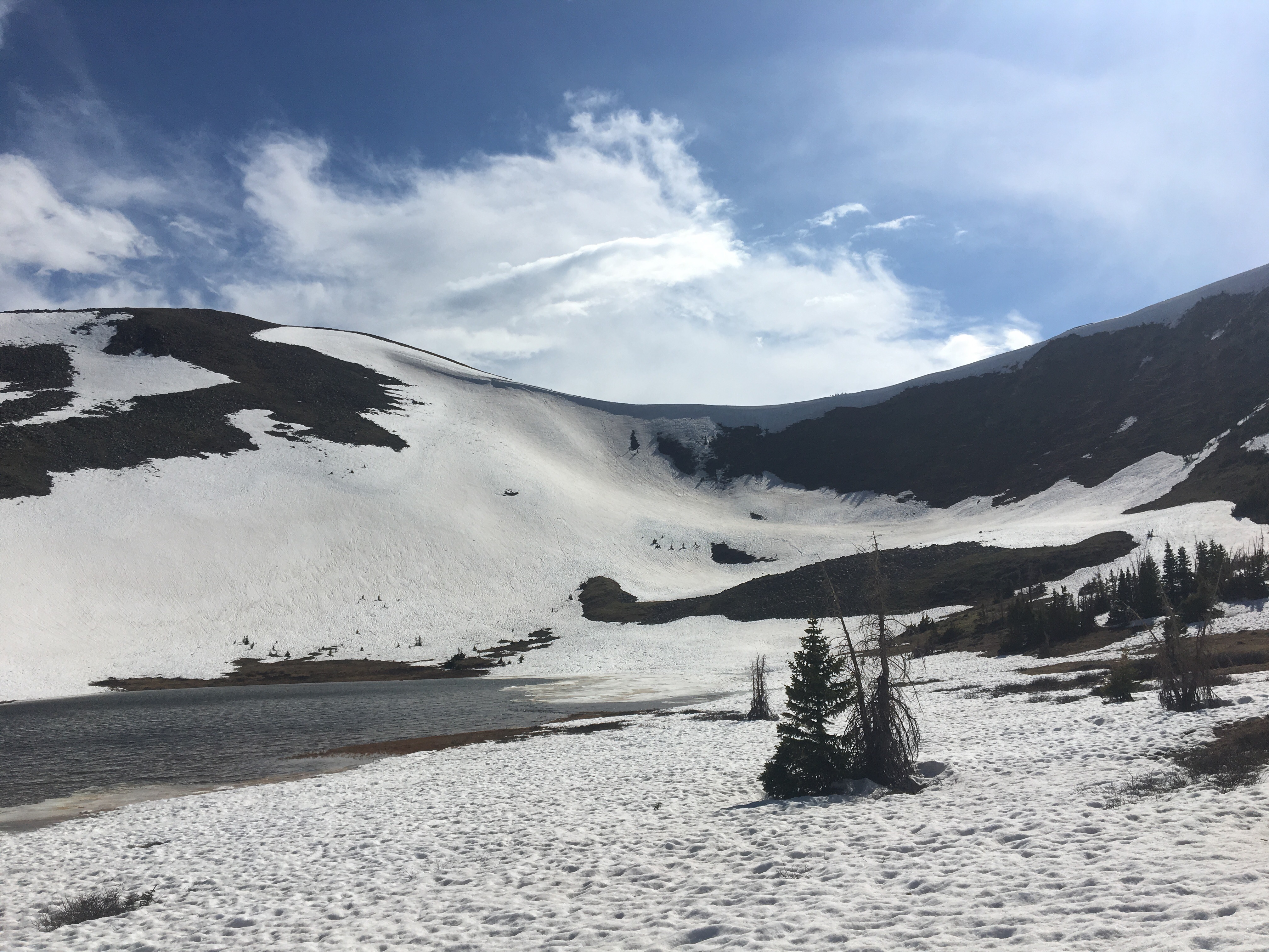
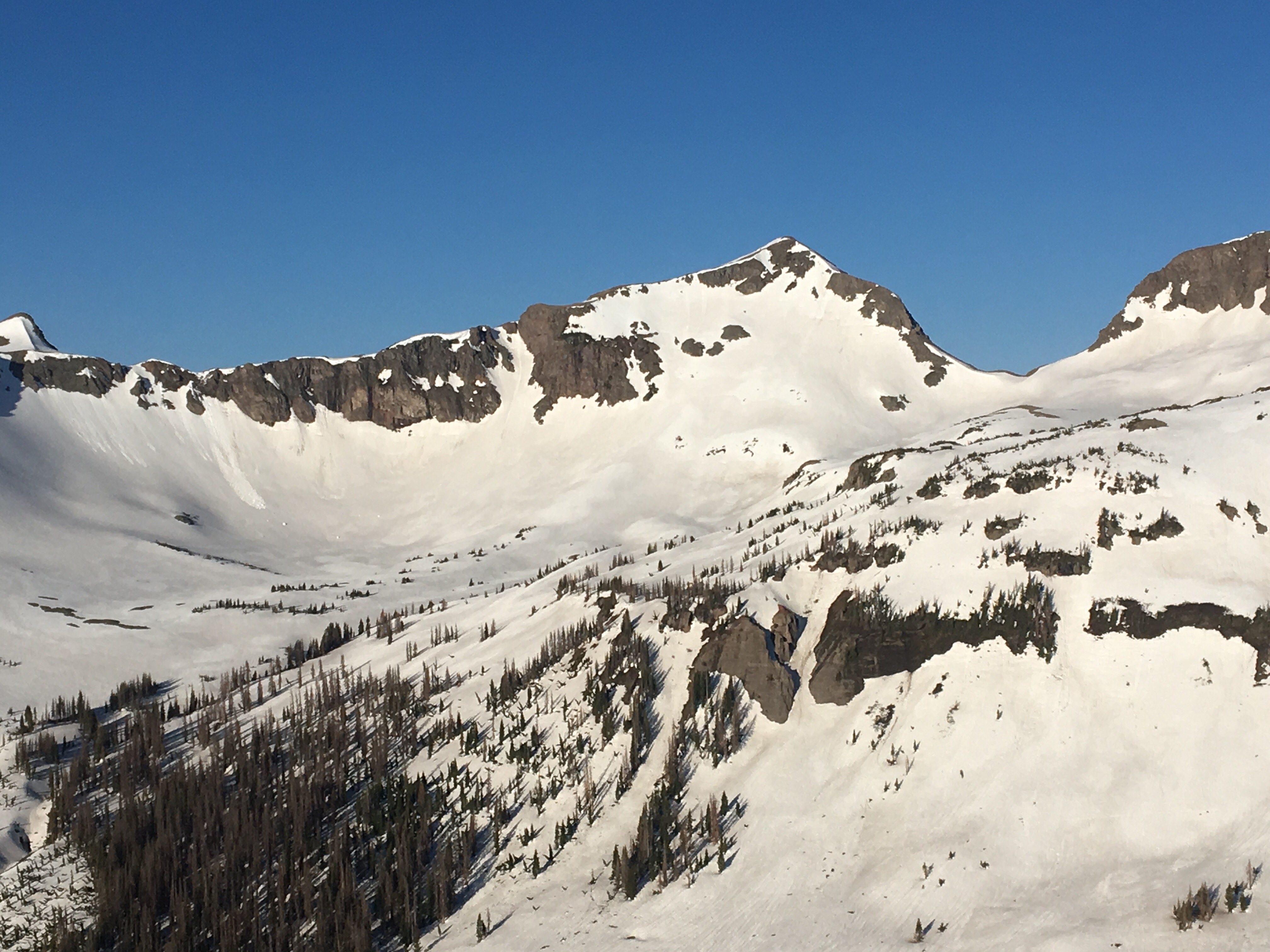
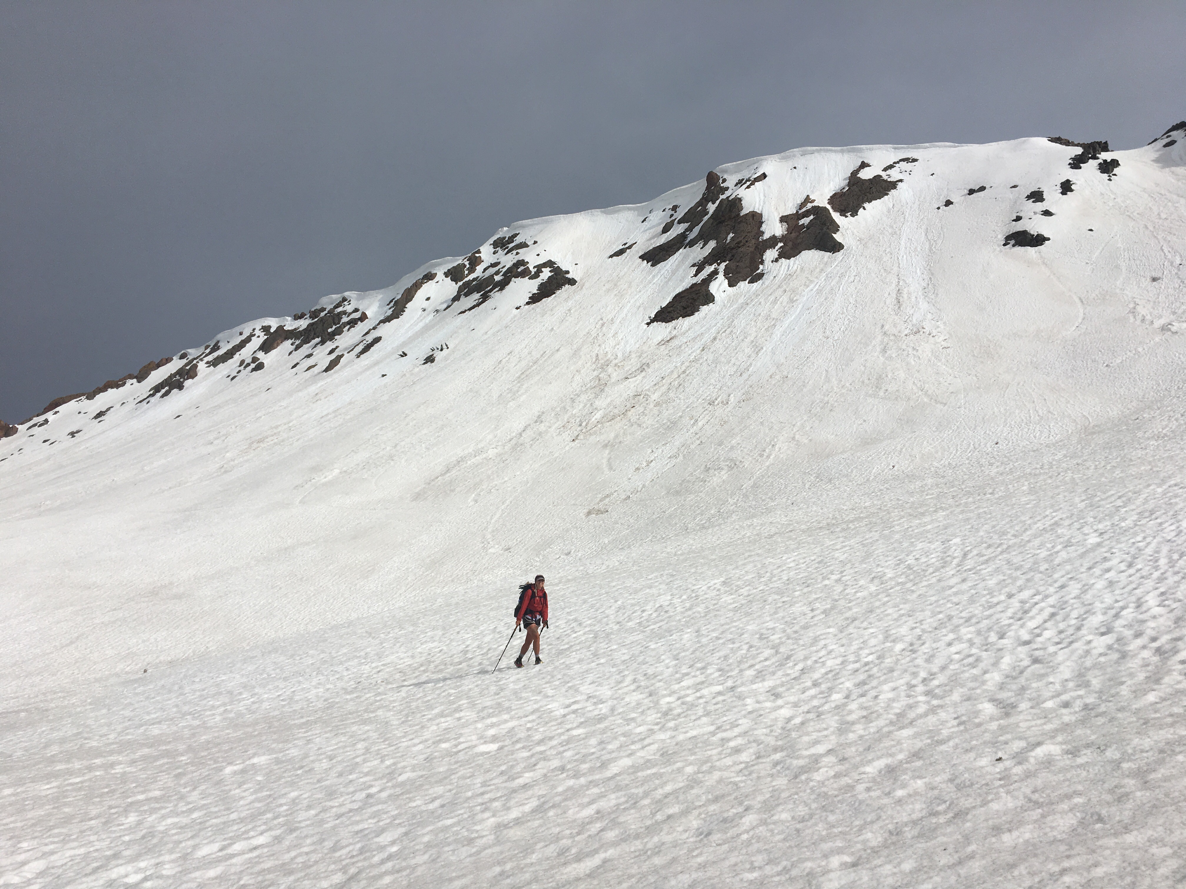 QB walking across a gigantic bowl


 Looking down at Platoro
