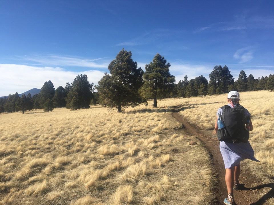
Aug 20 Seattle, WA
As we were driving out of our parking spot in the Fishtrap BLM land this morning, we noticed how smoky it was in eastern Washington. So smoky that we might not be hiking the PCT. We still had a few hours to monitor the situation but as we were driving west things weren’t looking good. Parts of the trail were closed so if we were to hike, the views would be shit and we still wouldn’t be able to finish. We stopped at Snoqualmie Pass and talked to a few hikers, they didn’t really have good news and that sealed the deal for us.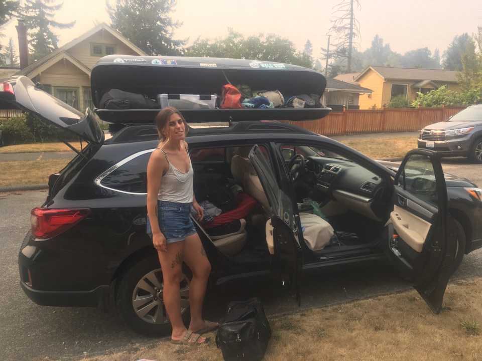
I got in touch with my friend Ruthie in Seattle who was quick to offer to host us for a night which was great. Sara and I drove another hour to Seattle and came up with a plan to get out to the Vancouver Island Coast and hopefully away from the smoke. With Ruthie and her wolf dog Syd, the 4 of us spent the day eating lots of food, walking around Alki beach and exploring Discovery Park. It was a fun day in a great city. Plus it was our first time in a week that we slept indoors and were able to shower and do laundry.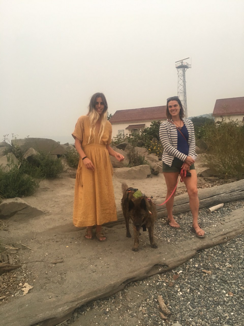

Aug 21 Port Renfrew, BC
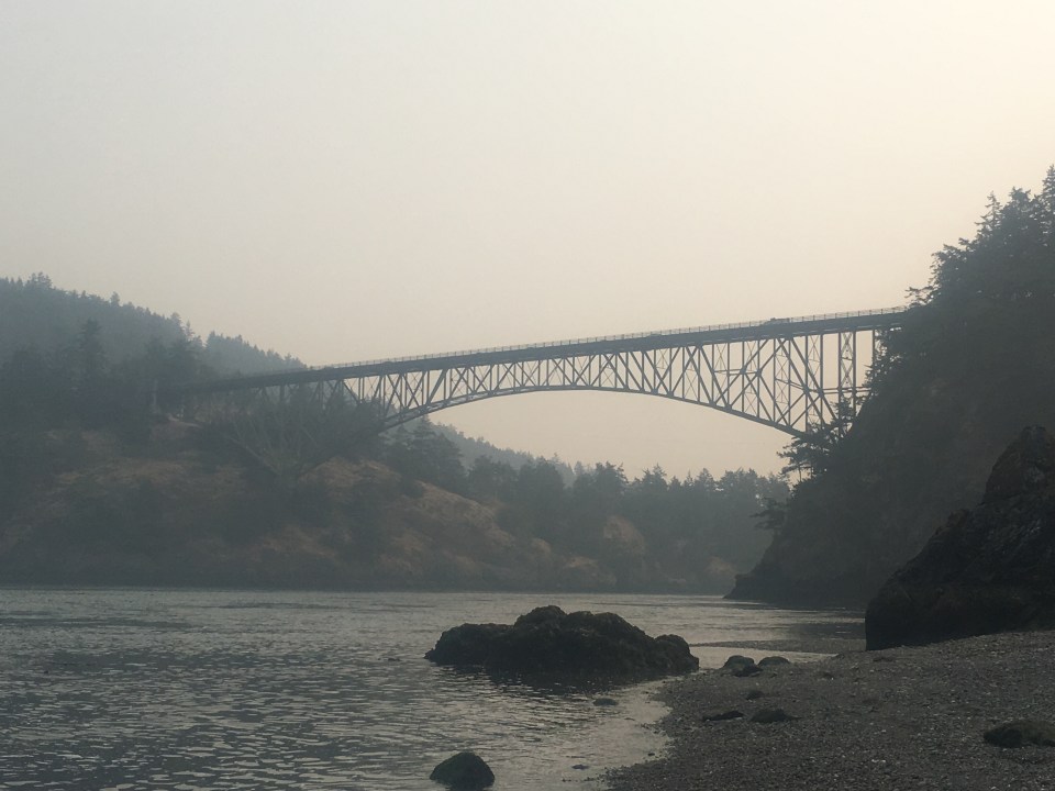
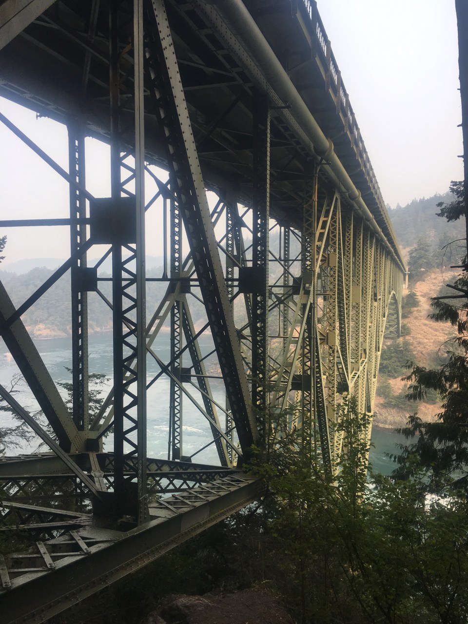
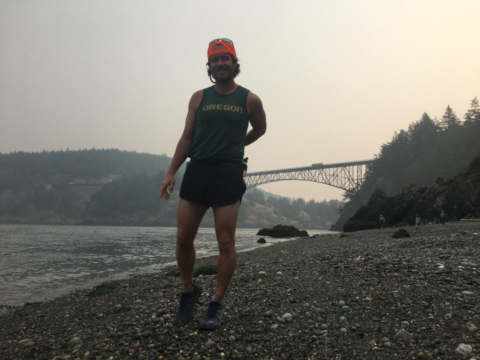
Sara and I got some pastries in West Seattle for breakfast then started making our way through the morning rush hour traffic. We had a ferry to catch in the afternoon from Anacortes, WA to Sidney, BC. Before that we had some time so we went for a run all over Deception Pass State Park. This place is sweet! There’s 2 big bridges that connect Fidalgo and Whidbey Islands and the surrounding areas have a bunch of trails and a beach. After our hilly sweaty run we of course jumped in the cold water and cleaned up a little, or at least cooled off.

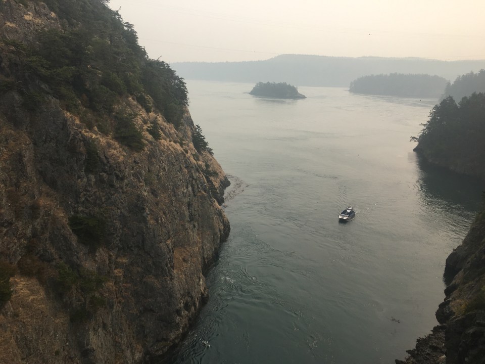
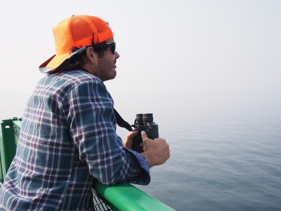
 We got lunch in Anacortes and waited in line for the international ferry. The boat ride through the San Juan Islands was enjoyable. The whole time I stood on watch with my bino’s for orcas and for the first time ever I saw not one but two, plus a few porpoises.
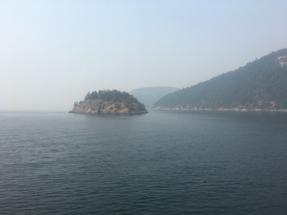
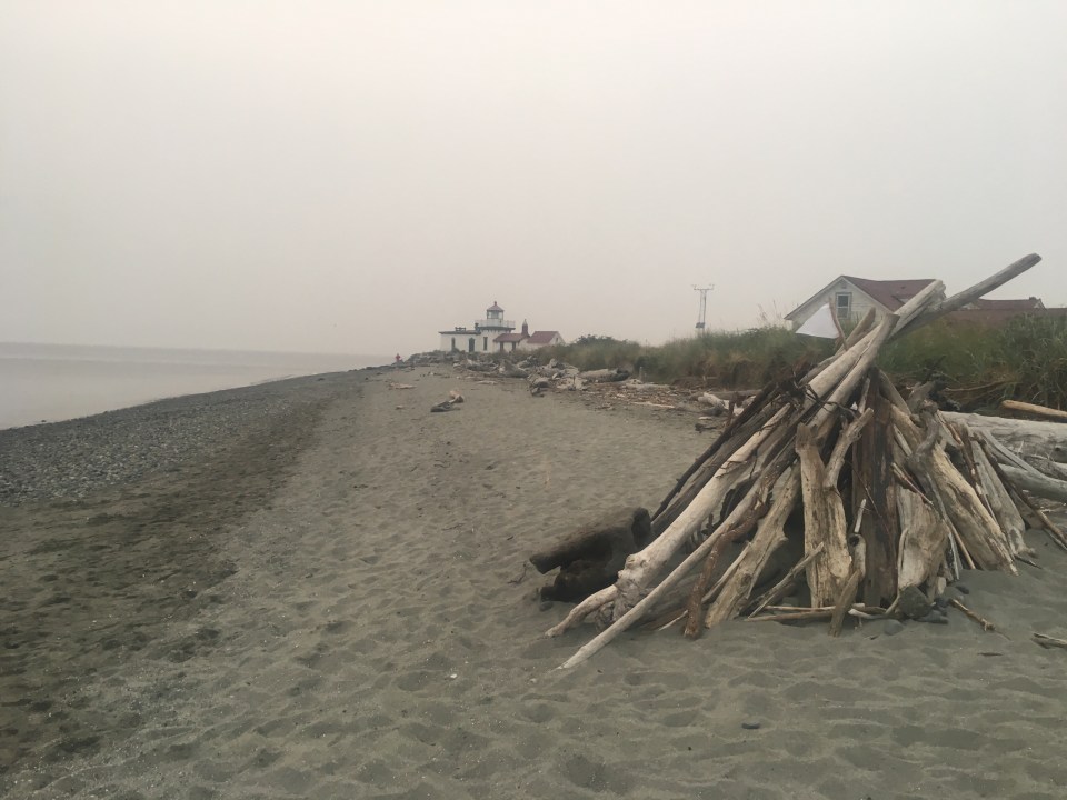
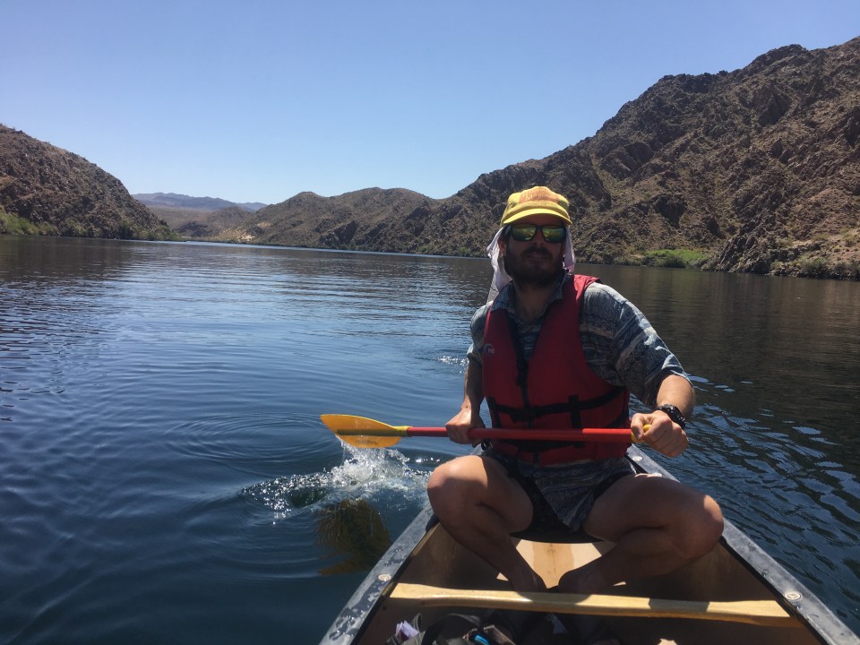
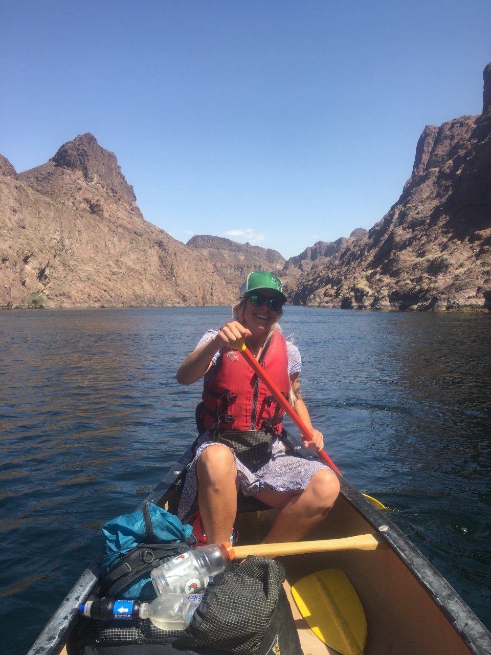
Once we reached land in Sidney we quickly went through customs then started making our way towards Port Renfrew on the southwest corner of the island. We found a parking spot at the Botanical Beach trailhead and tomorrow morning we’ll start here and hike the Juan de Fuca trail along the coast.
Aug 22, Chin Beach, JDF Trail
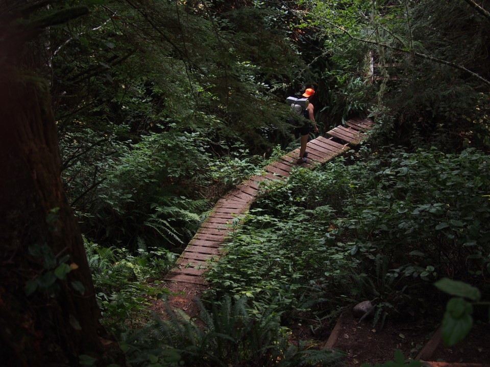
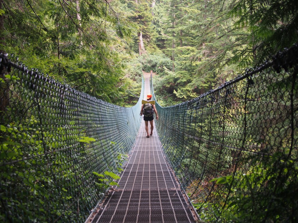
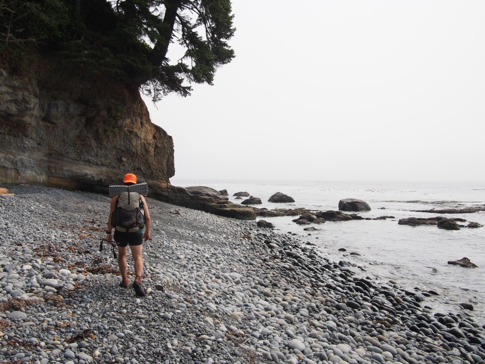
The Juan de Fuca trail stretches 47 kilometers across a section of Vancouver Island’s SW Coast. Since being in Canada half a day I’ve quickly converted to the metric system. You should too.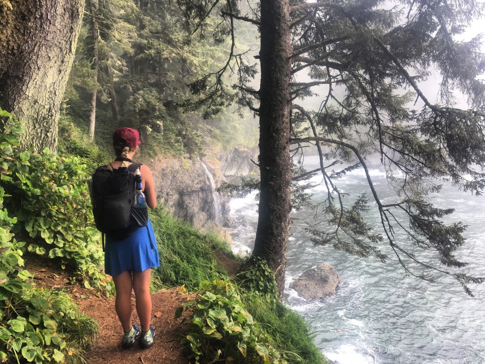
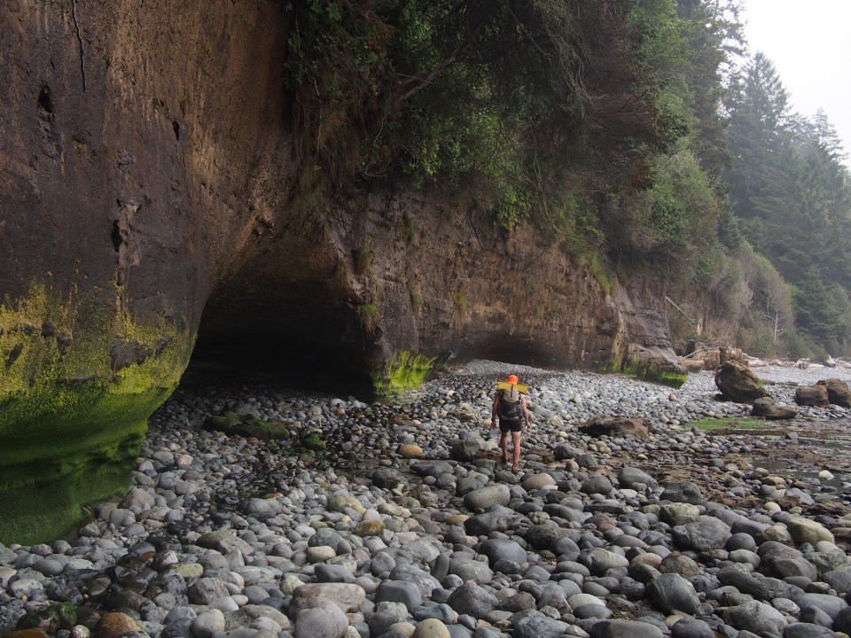
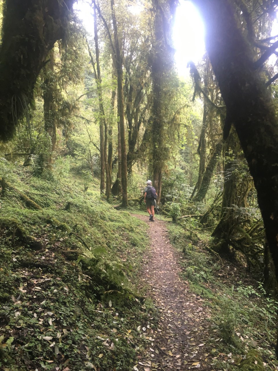
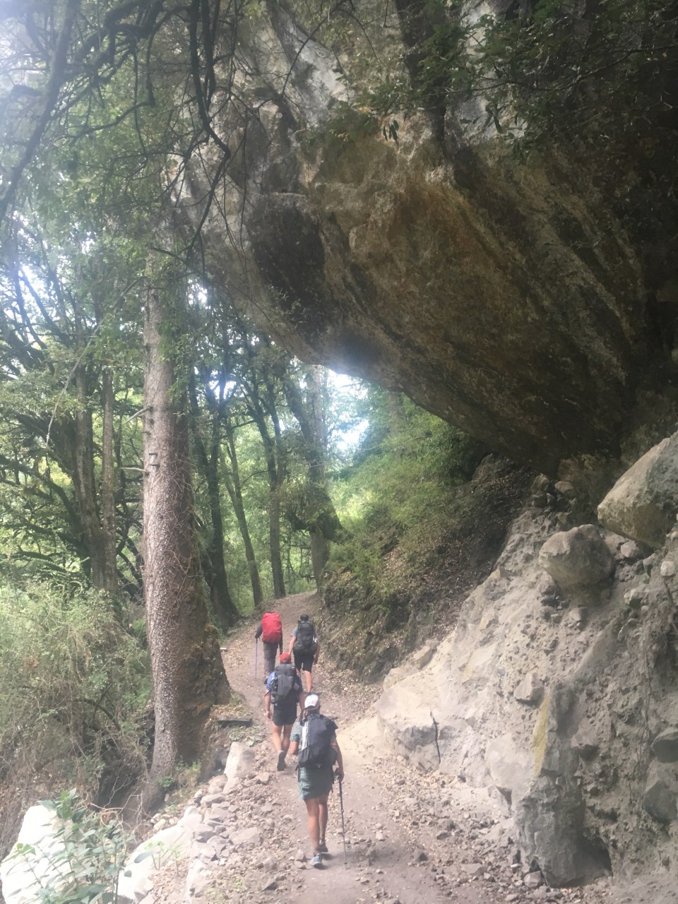
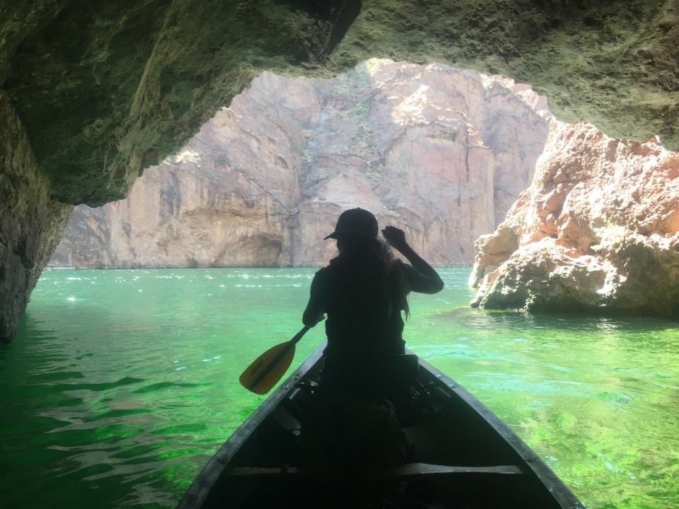
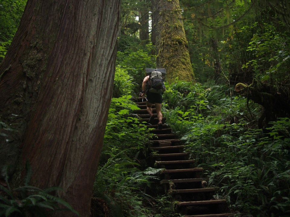 We started walking eastbound from the Botanical Beach parking lot this morning, mostly against the flow of hiking traffic. It’s been really nice. For the most part we’ve been in an old growth rain forest that sits right along the coast. We’re walking through lush forest with some massive trees and the trail is loaded with lots of infrastructure. When I say infrastructure I’m talking about staircases built into the side of the trail, or planks on the ground so you won’t step in mud, or bridges built out of old fallen down trees. I like that sort of stuff. Every once in awhile we’ll have a view of the ocean or pop out onto a beach and walk along that for a bit. Some sections you need to have a tidal chart in order to safely get around the headlands, luckily for us we’ve yet to get jammed up with high tides. I’ll say this about this place, it’s definitely more crowded than I expected. When we got to Sombrio Beach there were all kinds of people walking around, probably because there’s a road out that way but I was surprised. Still beautiful though and I’ve been digging it.
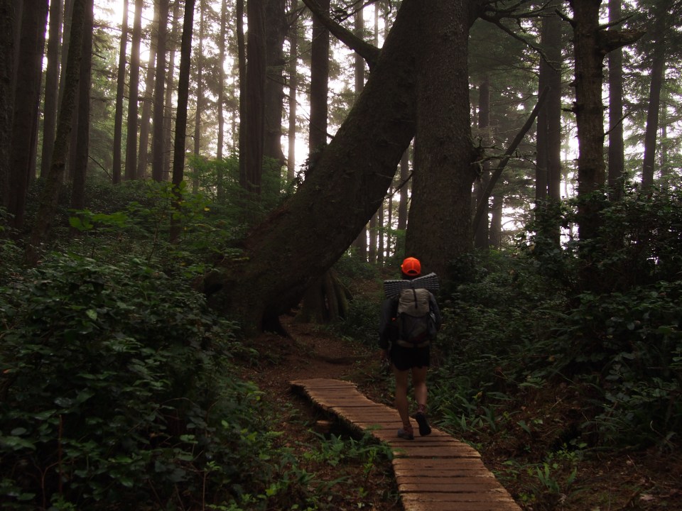
Since there’s only certain places you’re allowed to camp, when we got to Chin Beach around 5:30 after only 26 Kilometers we called it a night. Otherwise it’s about 12K more to the next camping.


Aug 23, Tofino, BC
The first 10K or so of the trail this morning, from Chin Beach to Bear Beach, was a bit difficult. Lots of ups and downs, a little muddy, and some roots and stuff. It wasn’t quite as tough as I expected though, one older guy compared it to childbirth(that didn’t make much sense unless he was talking about somebody else. Or maybe he was talking about when he was born, which seems like it would be difficult to remember). Anyway once we got to Bear Beach we chilled out for a bit, saw a bunch of seals and a baby sea otter. The rest of the trail was rather mellow and we reached the China Beach Trailhead in the early afternoon. We put our thumbs out and after about 15-20 minutes Mariah, a Port Renfrew local, drove us about a half hour back to our car at Botanical Beach.

Sara and I started making our way North on the Island towards Tofino and after a couple hours of driving we saw 2 girls with backpacks hitchhiking. We picked up Brittany and Chaya who were also on their way to Tofino. These two were good company and they told us about the hostel style campground they were headed to. Since the Tofino area didn’t have much for free camping, plus it was late, we ponied up the short money and got a parking spot at Poole’s Land for the night. It was more of a hippie commune than campground and definitely not for everyone but it was cool and an interesting place to experience.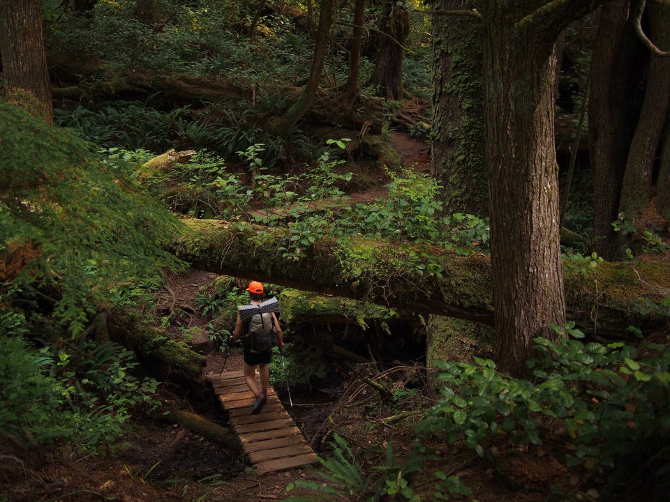

Aug 24 Tofino, BC
Tofino, along with it’s neighboring city Ucluelet, is a surfing Mecca halfway up the west coast of Victoria Island. There’s other cool stuff to do there and not being much of a surfer I wanted to rent a sea kayak for a few nights and go camp out on an island(I’m not much of a kayaker either). When we started looking into renting kayaks we quickly realized we needed either a guided tour or knowledge of the local area, navigational charts, a 2 way radio, permits to camp in the Pacific Rim National Park reserve, a credit report, pass a background check, a clean driving record plus they were sold out. Maybe you didn’t need all that stuff but renting a kayak was no picnic.
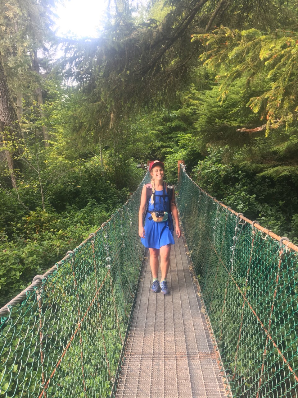
So we went for a nice run on the Wild Pacific Trail in Ucluelet to come up with a plan. This trail was great for running, it was hilly with good footing, along a rocky coastline and it was home to some giant cedar trees. Supposedly we were in wolf/bear/cougar territory and although I didn’t see any of those predators I did see a massive bald eagle perched in a tree stalking some salmon or something.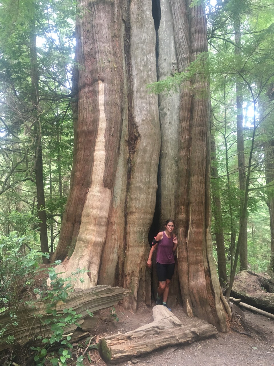
After our run we checked out Ucluelet and looked into renting surfboards. No problem! Way easier than getting our hands on a kayak. We went to the Wya Point surf shop and for a few bucks we each had a wetsuit and a couple of boards strapped to the roof of the Outback with the promise of returning them tomorrow afternoon. Sara and I drove up the road about 10 minutes to Wickanannish Beach and were in the water in minutes. So much fun! Not saying I’m Kelly Slater or anything but I did get up on the very first wave, QB was totally impressed. All afternoon there were big Canadian waves and really not all that many surfers in the water.
On the recommendation of my friend George we went to Tacofino for burritos afterwards and it may have been the best burrito of my life. I was wicked hungry but still, I think it was the greatest of all time. Sara was also a gigantic fan. If you’re ever in Tofino, BC and find yourself with a hankering for some Mexican food, the Tacofino food truck will not disappoint. 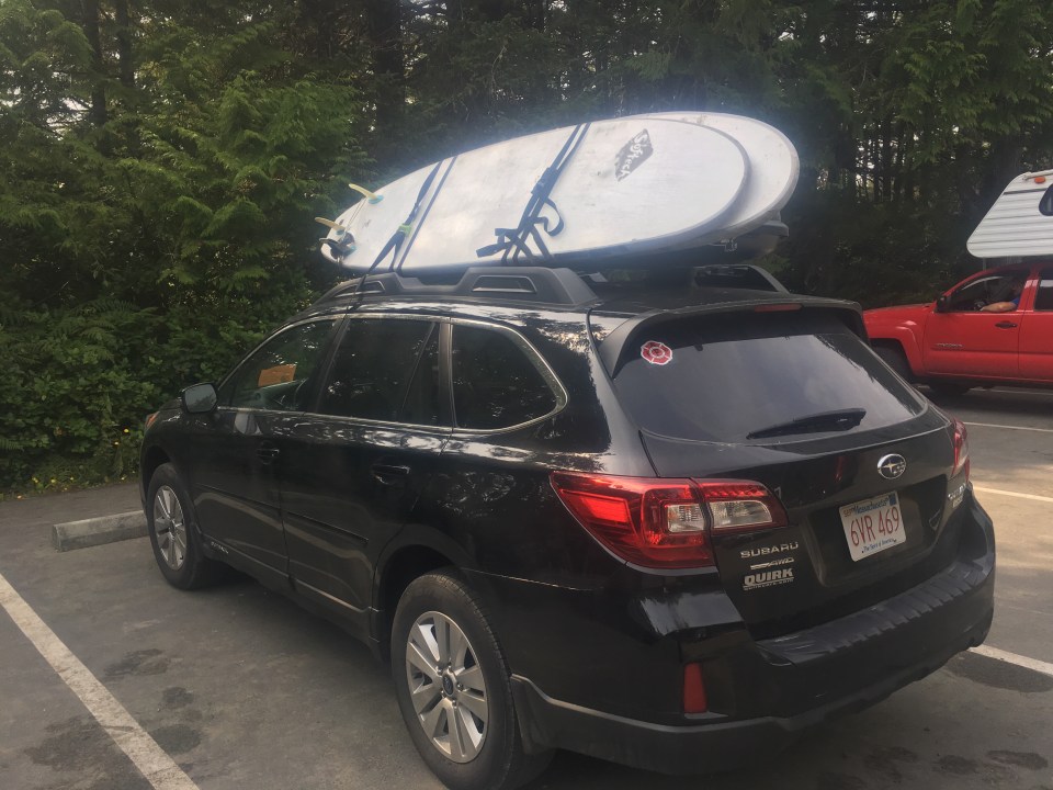

Aug 25 Comox, BC
Surf’s up bro! Just kidding, but seriously what an awesome day! It was raining on the car when we first woke up and the towels and wetsuits that we draped over the top were now soaked instead of dry. Oh well! Sara and I headed back to Wick Beach but there was nobody in the lot and when we walked out to the beach the waves looked way smaller than yesterday so we drove up the road a bit to Cox Bay and found some big time waves. Neither of us really know what we’re doing at all but after a while we were both getting up on the boards just about every other wave.
Our friend Ash and her boyfriend Zach were up this way enjoying a holiday of their own so we got in touch with them and met for lunch in town. I guess we just missed them on the water yesterday, if it wasn’t for this damn international cell service we could have all been catching some gnarly waves together (for the record Sara hates it when I talk like Spicoli when we’re surfing). After lunch those two were heading south and Sara and I had a few more hours to splash around with our new found surfing skills before heading east.
Tonight we drove east across the island on the wild and wooly rt 4 and eventually got to Comox, BC. There’s not really logging roads or pull offs over this way so we found a sweet little seaside campground at Kin Beach Provincial Park along the Straight of Georgia.
 for more pictures find me on insta @endlesspsummer and Sara @sarahikes
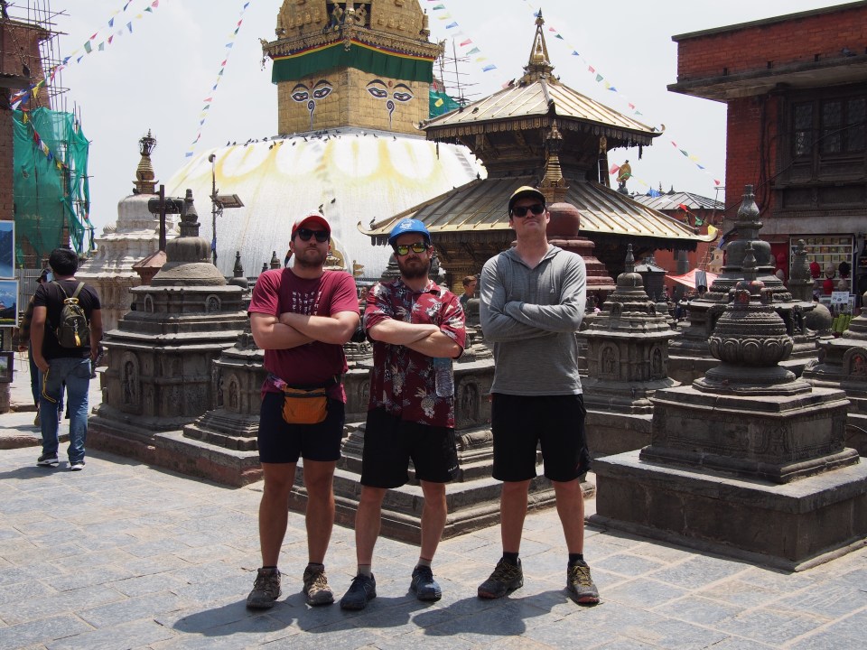
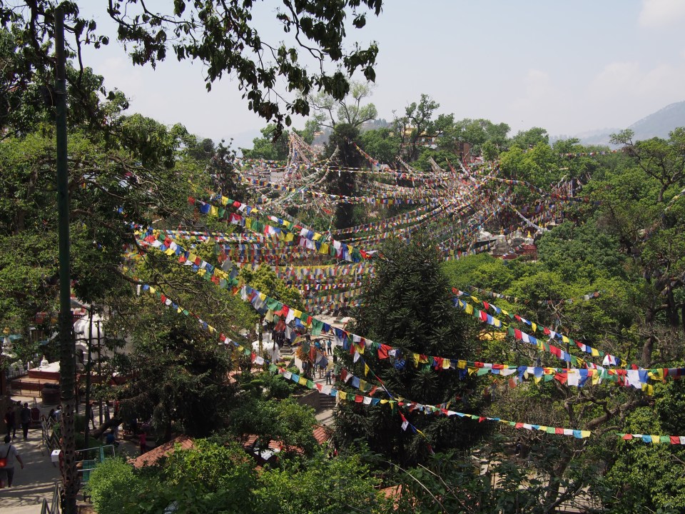
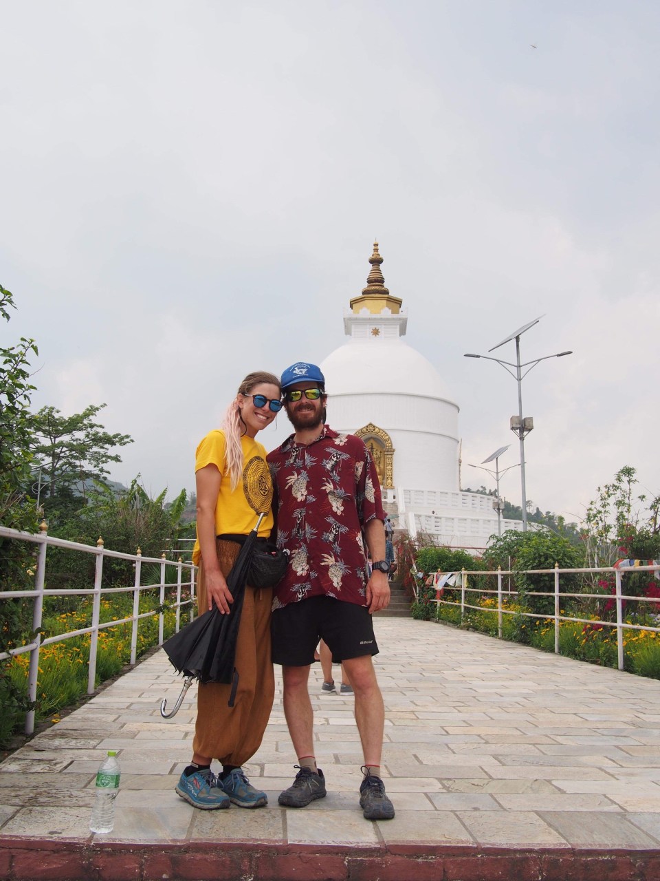 World Peace Pagoda, Pokhara
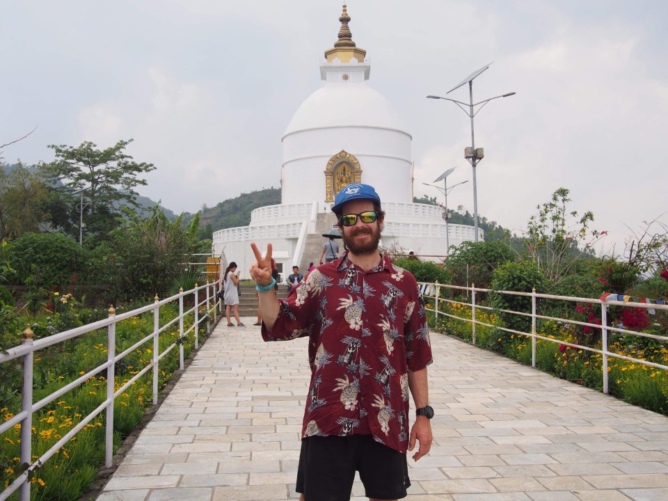

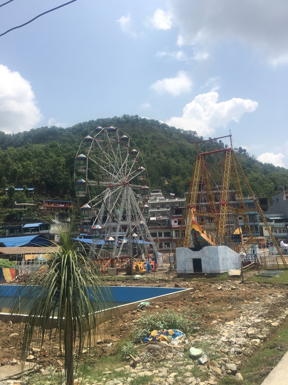
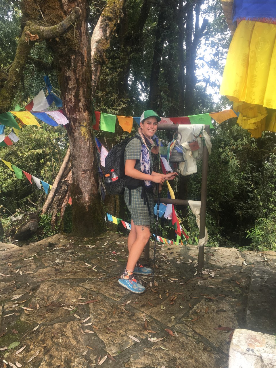


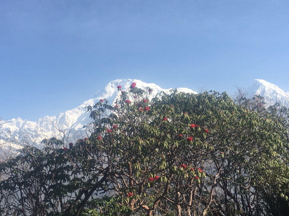
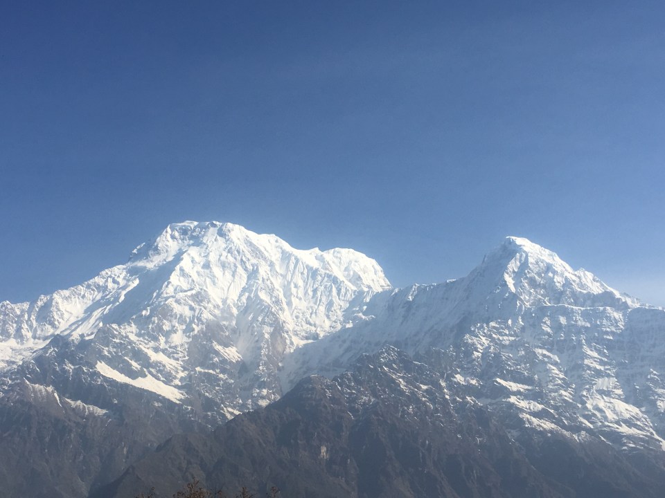


 Sweet $3 view!
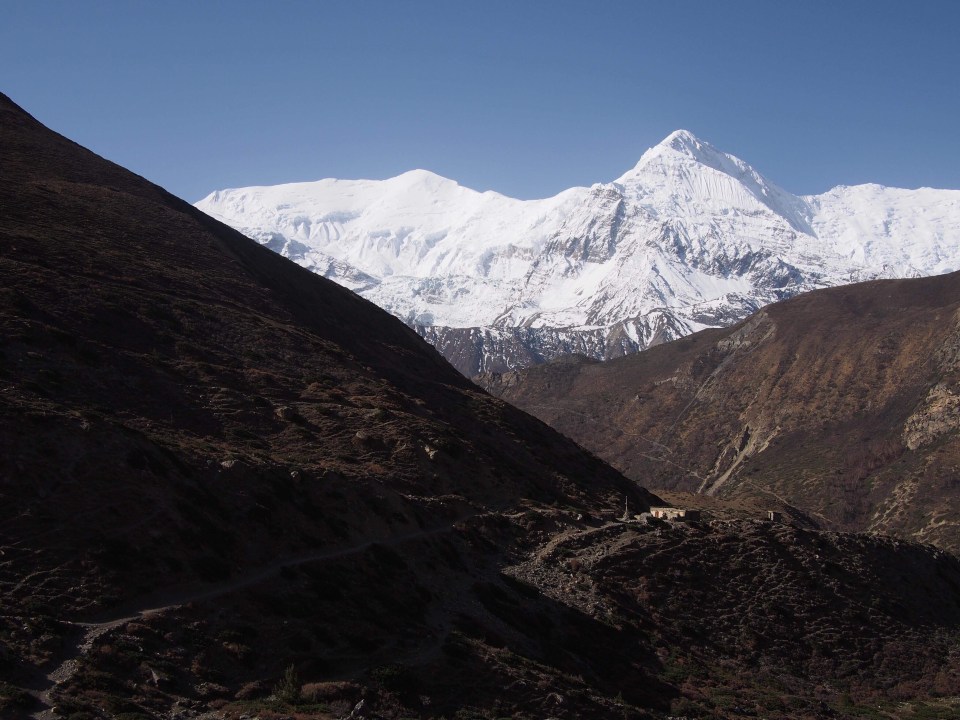

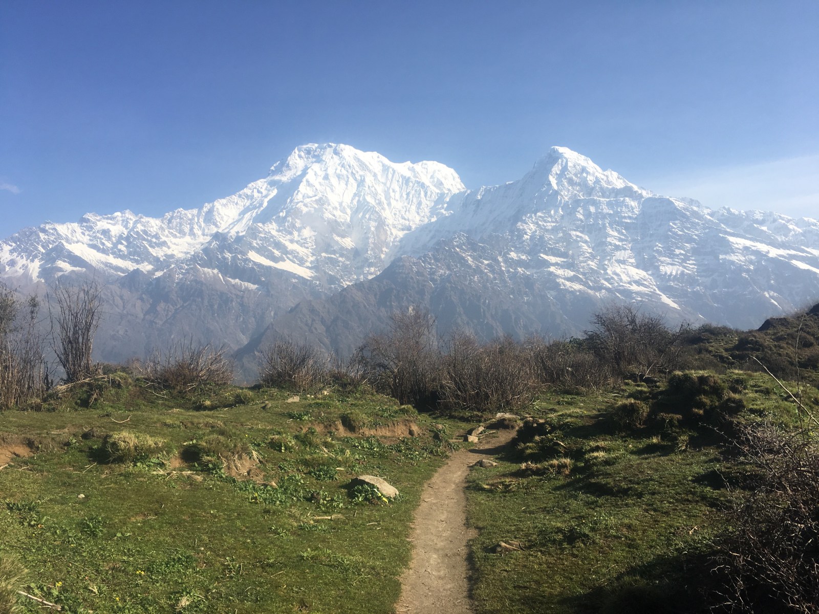
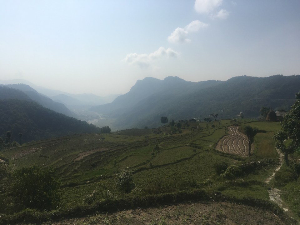
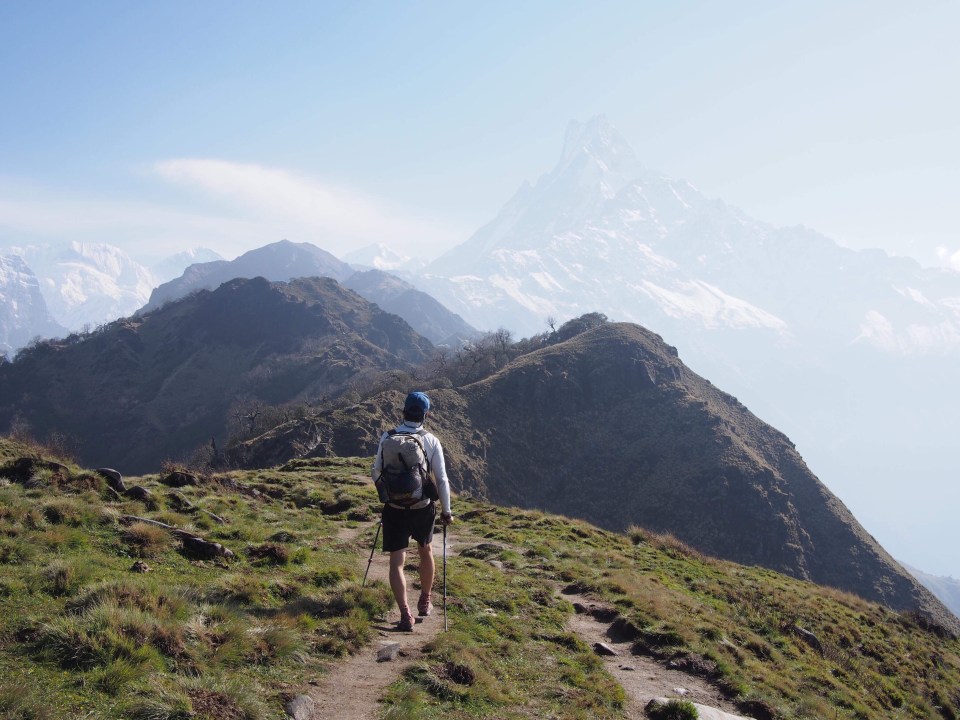
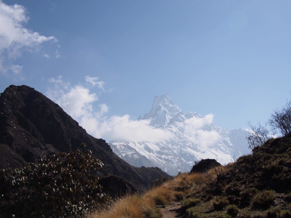
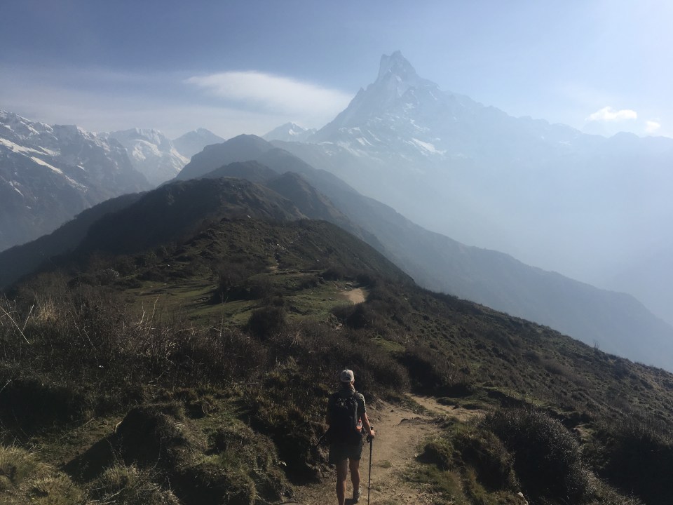
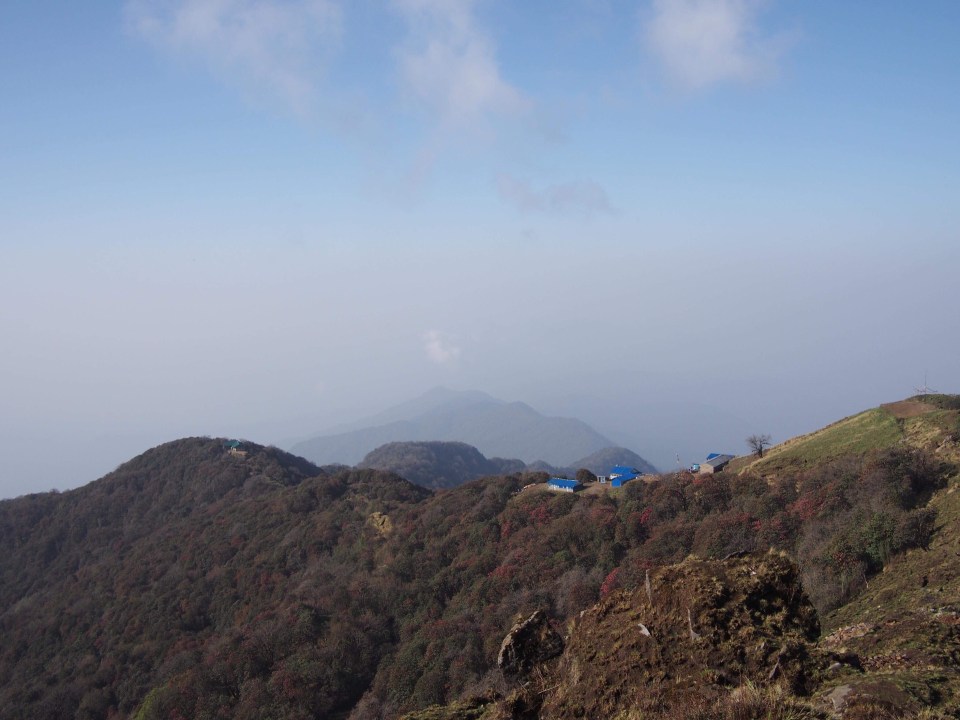
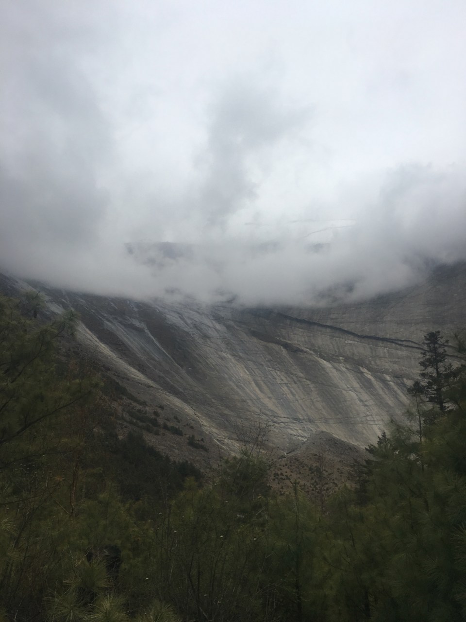
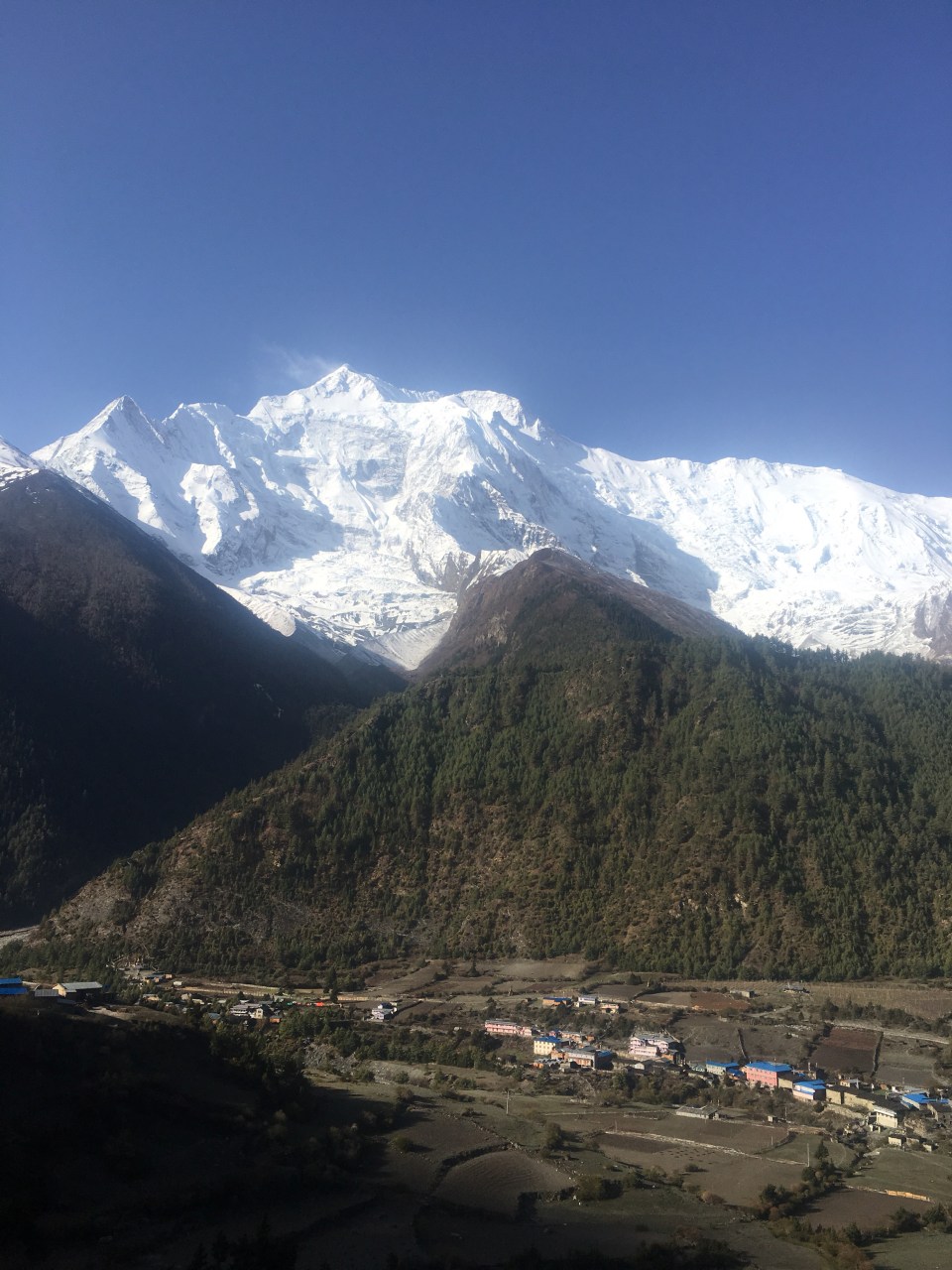
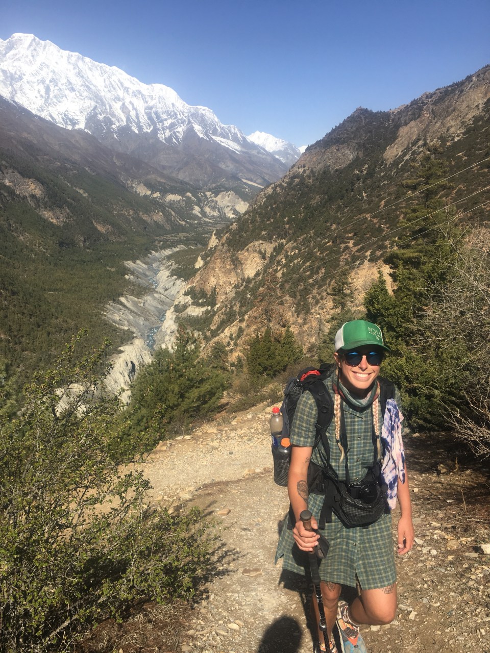
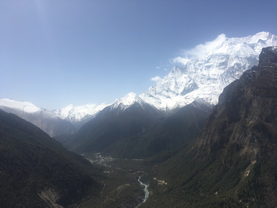
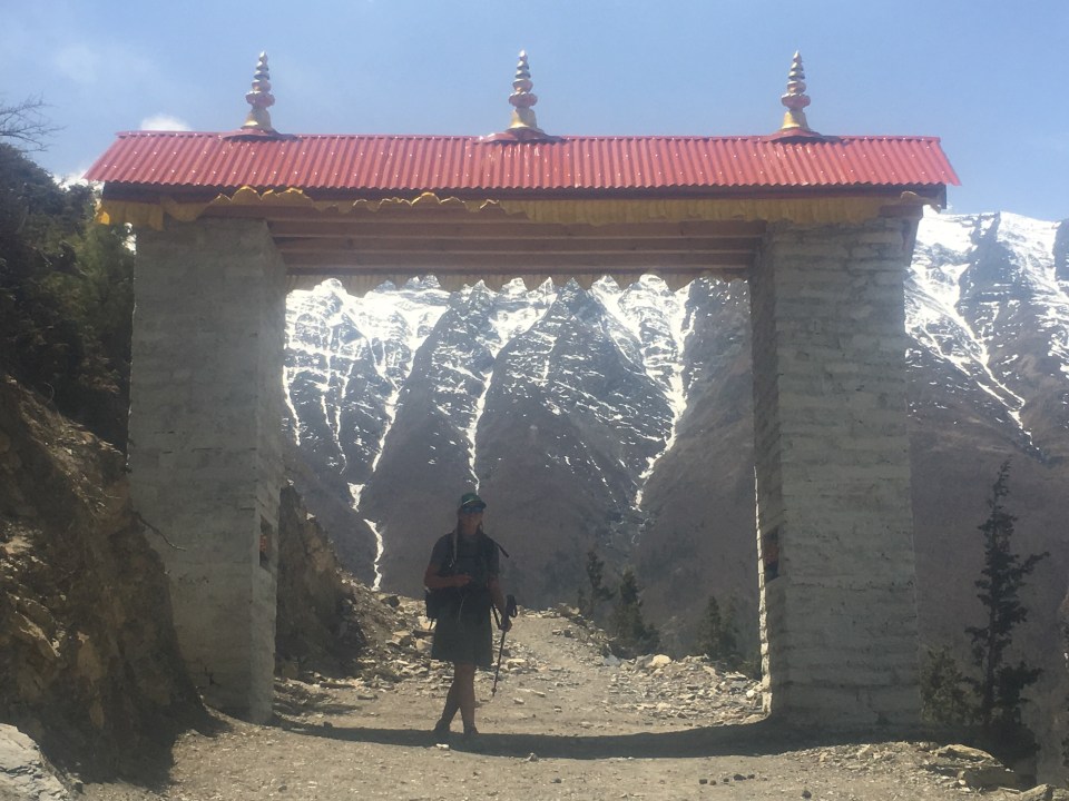
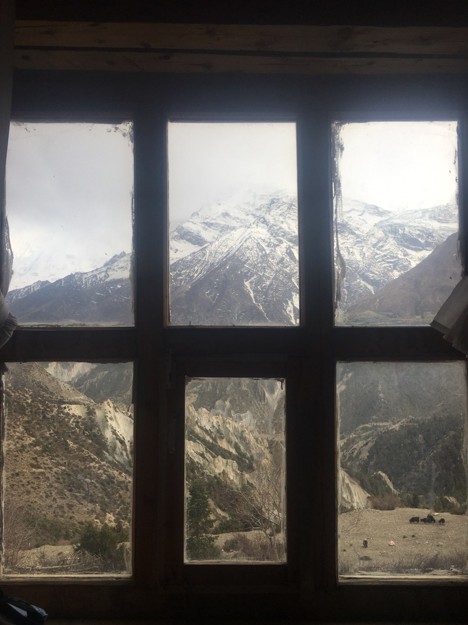
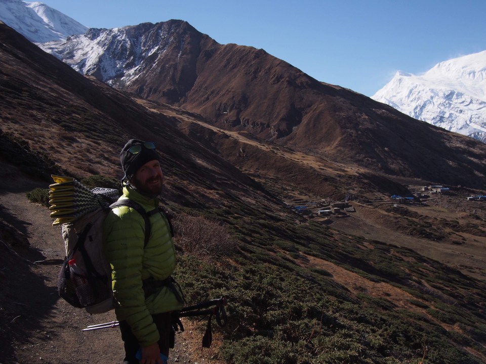
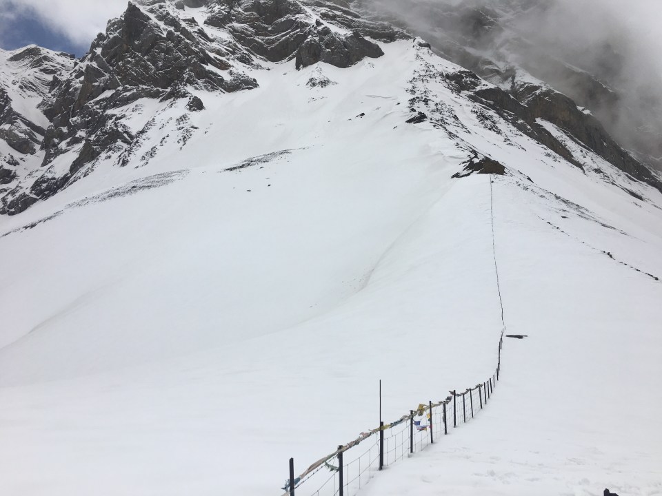
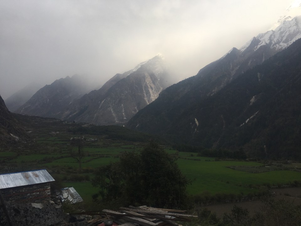
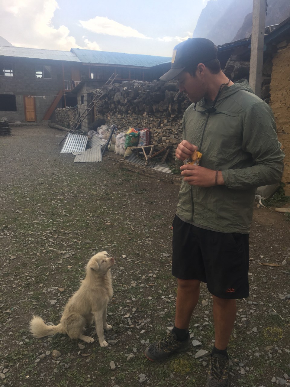
 Even though we only walked about 4 hours today the hiking was pretty rad. We walked higher and higher through a valley all morning and had views of some incredible mountains ahead of us and behind us. At one point along the side of the trail there was a dead goat or a blue sheep carcass and we watched as about a dozen Himalayan Vultures(not sure what the real name is for these birds but they’re massive) fought and picked over the dead meat. It was quite a sight. 3rd coolest thing I’ve seen in 2 days: avalanche, a dog sliding off a roof that a girl caught that we saw in Manang, and these vulture fights.
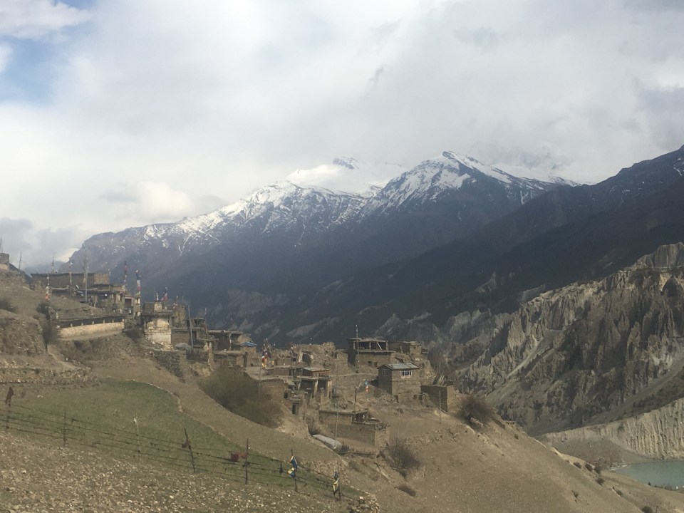
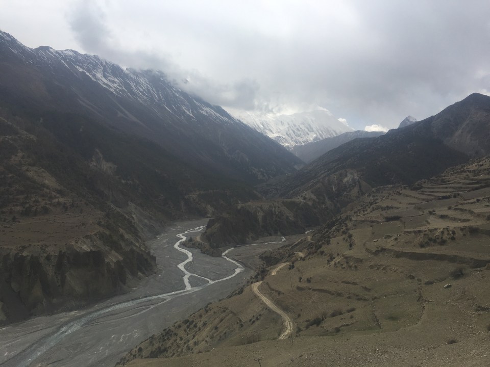


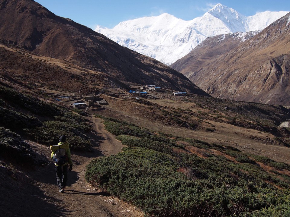
 In just a few hours of walking quickly downhill we were back in Manang, the town where the trail meets the road and vice versa. We walked another couple hours and were just getting through the town of Humde when a Jeep pulled over with a deal for us: 8,000 rupees for the 8 hour ride to Besi Sahar. Deal! I’m only in Nepal for so long and I don’t need to see the same things twice.

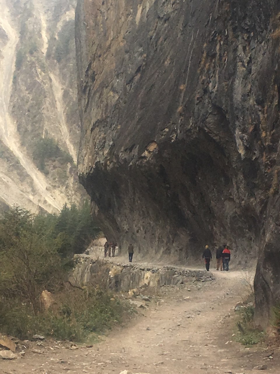
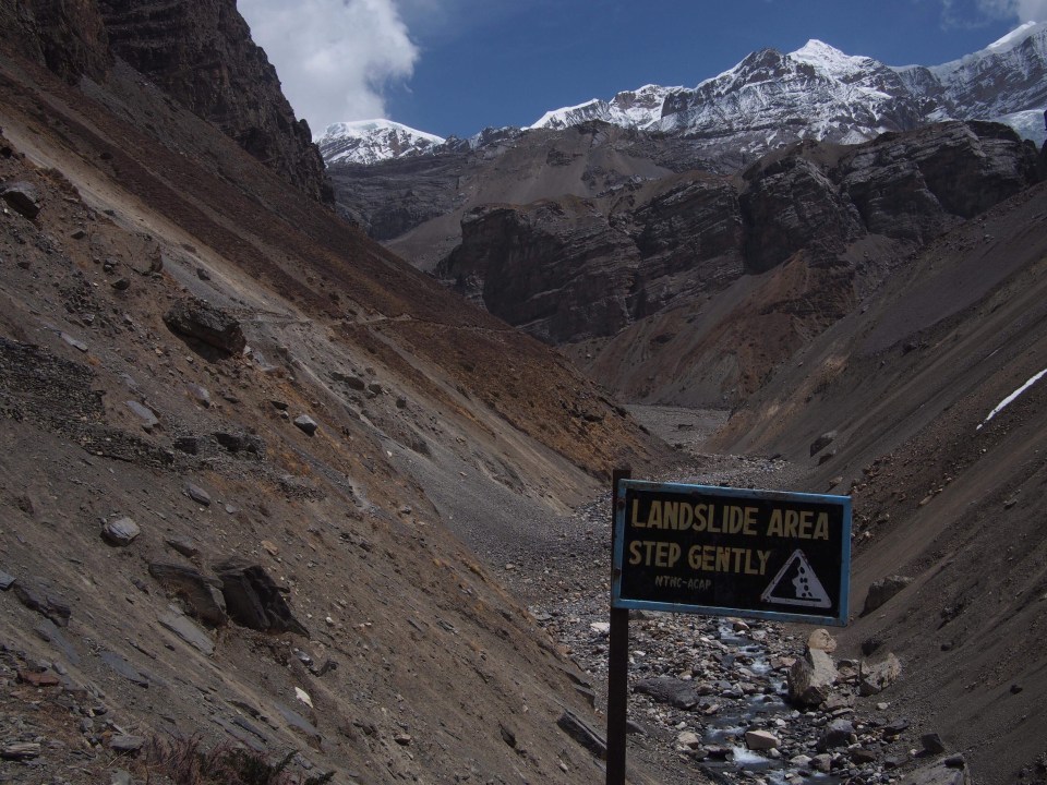
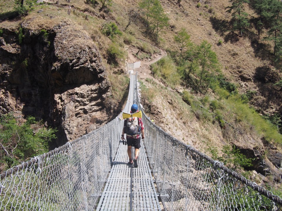
 After we walked through Chhokang Paro the trail dropped steeply for awhile and we had to redo the dicey spot where the trail got real narrow and the footing was soft due to a previous landslide. I usually don’t like doing out and back style hikes but since I felt like death the other day it was nice to re-walk the same trail and I was able to enjoy it more. Same goes for the place we had lunch today in Chumling; 2 days ago I was throwing up in their bathroom and today I wolfed down a plate of fried noodles.
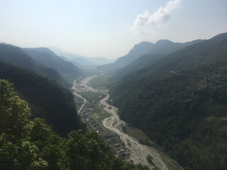
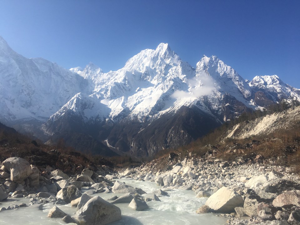
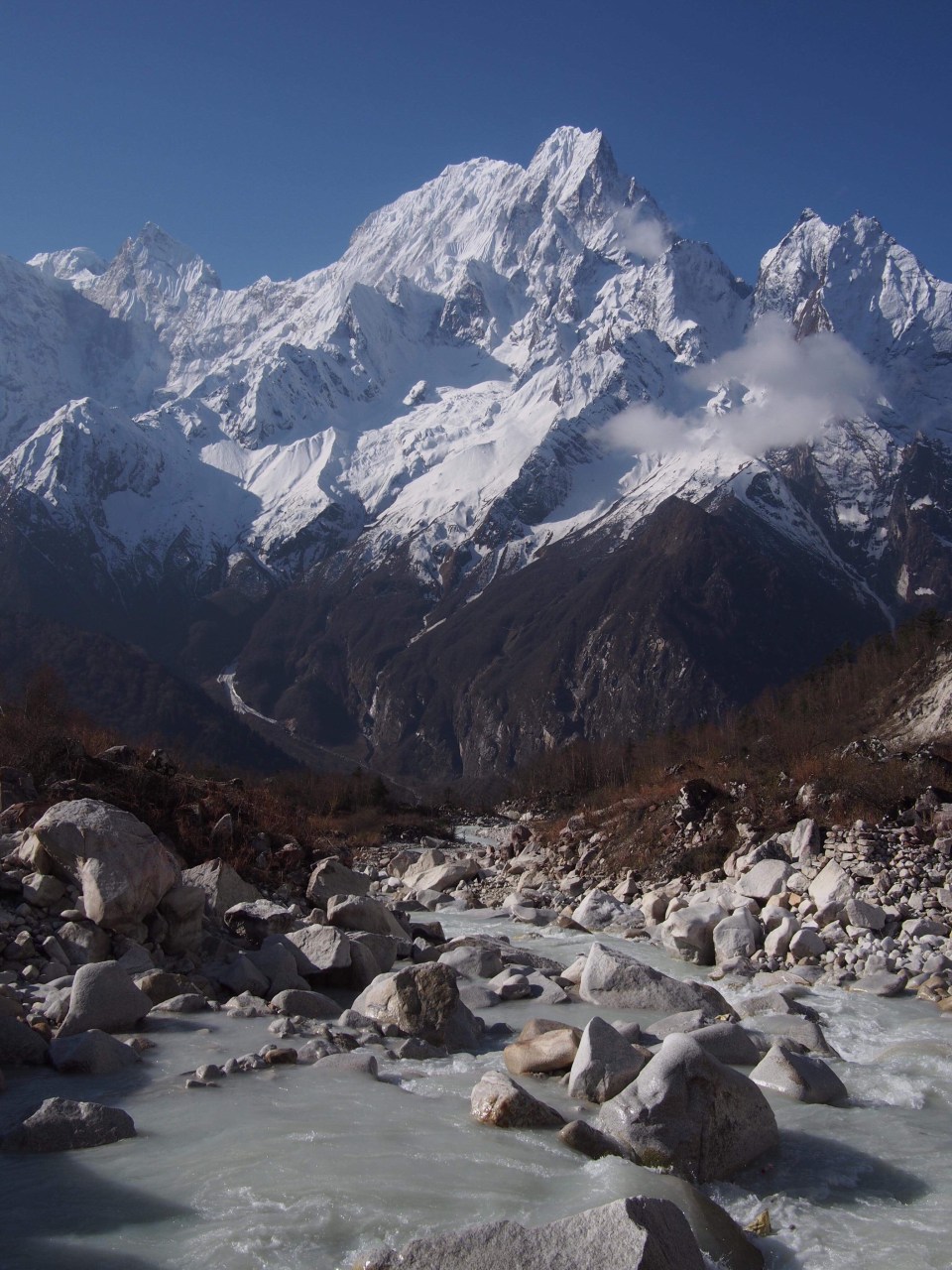
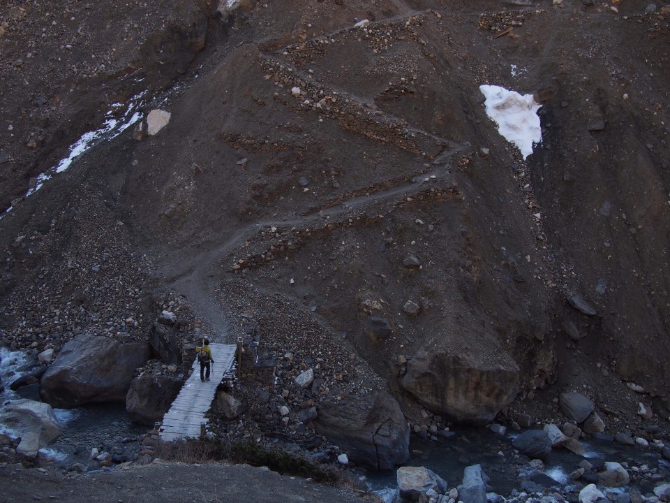
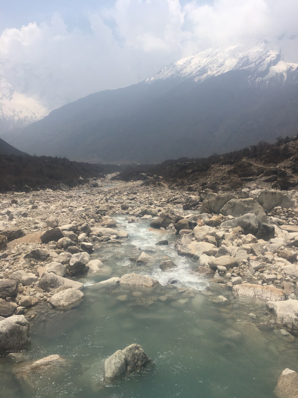
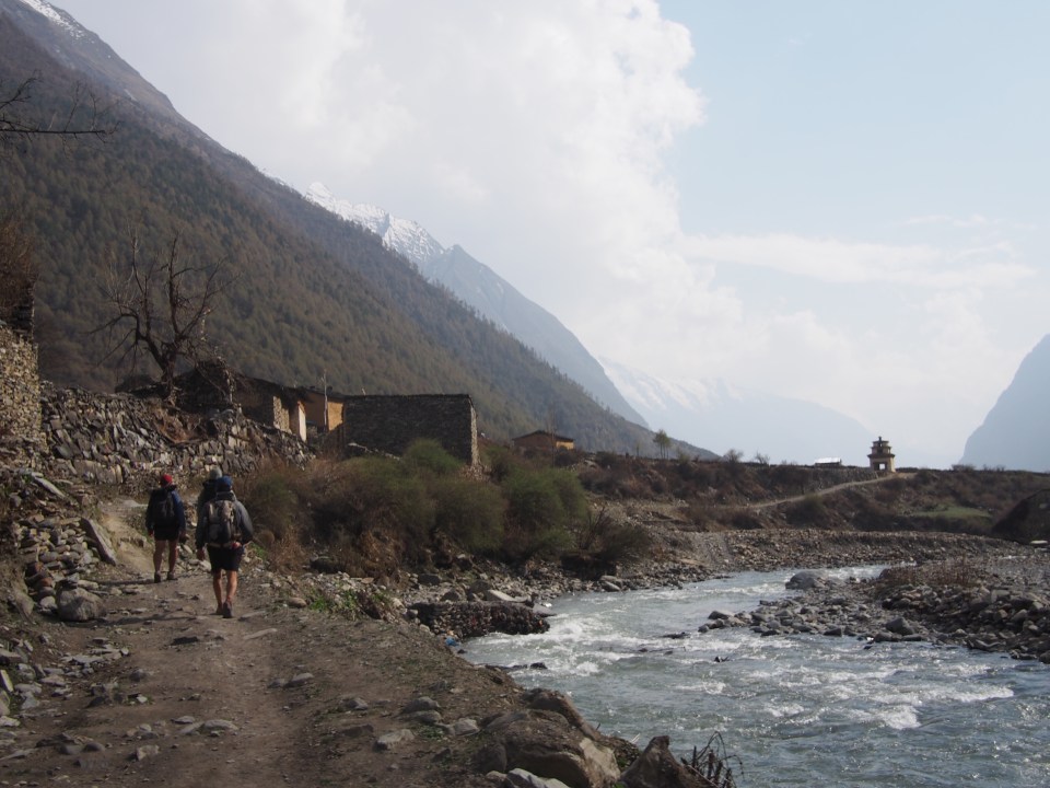
 From lunch we walked a few hours downhill to Lokpa and then a couple more to where we rejoined the Manaslu Circuit and the confluence with the Buddhi Gandaki river. We all went for an icy cold refreshing bath in a little tributary to the big river. It was so nice! I love cold water on a hot day. We returned to the circuit and everything was new again.

 the Birthday Girl
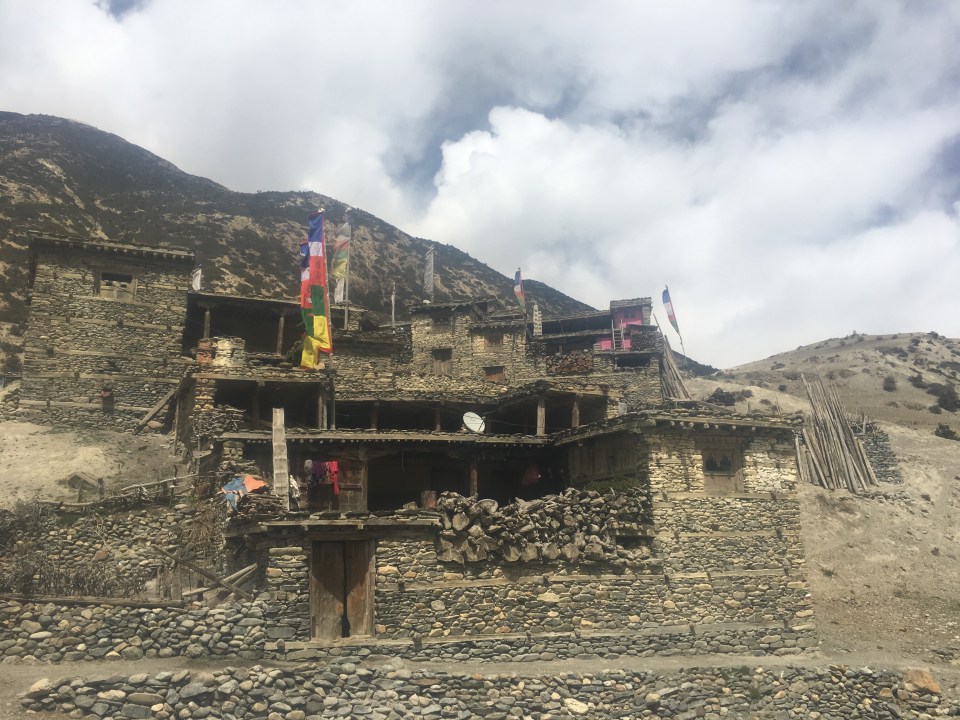
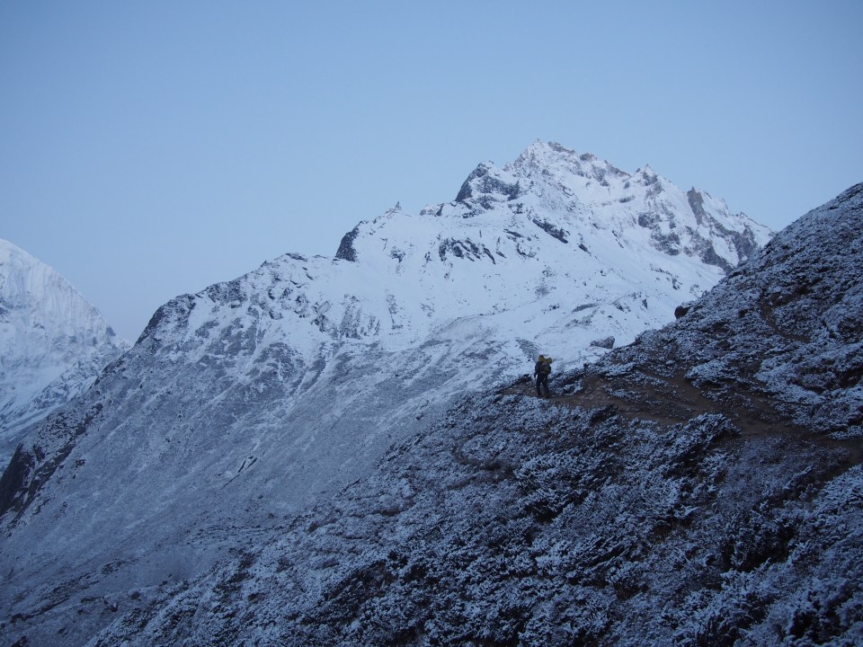
 After Namrung, Gopal suggested we hike for a few more hours and of course we were all in so we crushed the rest of the day with steep climbs all the way to the village of Lho. People are always asking where we are coming from, it’s like the main topic of conversation out here, and one local villager said to Mac, “Even Nepali people don’t walk from Pewa to Lho in one day.” I guess we really are crushing. Lho is almost 5000 feet higher than where we slept last night.
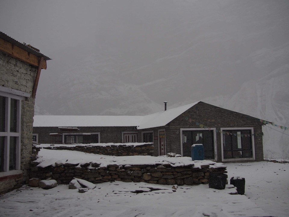
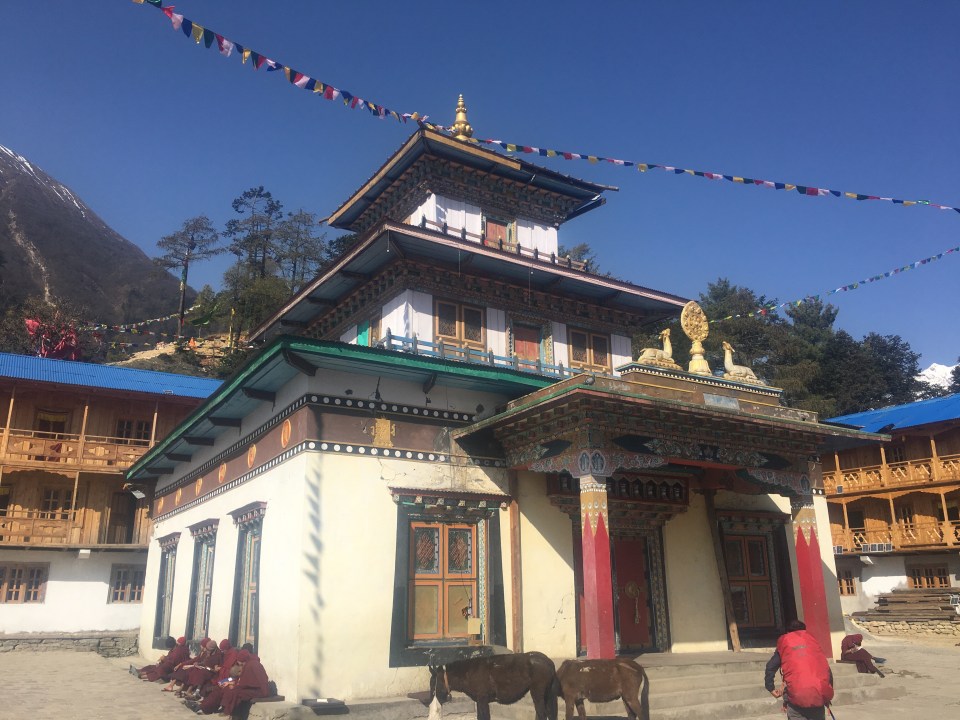
  The lodge here is bigger than usual, has a wood stove to keep the dining room warm, a sit down(western)toilet, and some really good food. I got Swiss Rosti which is some kind of delicious fried potato and garlic pancake with eggs and cheese on top, my favorite dish of the whole trip. We also were able to get WiFi cards and had a little bit of service for the first time in a week. I mean a real little bit. Everybody had just enough service to get a message back and forth to their folks.
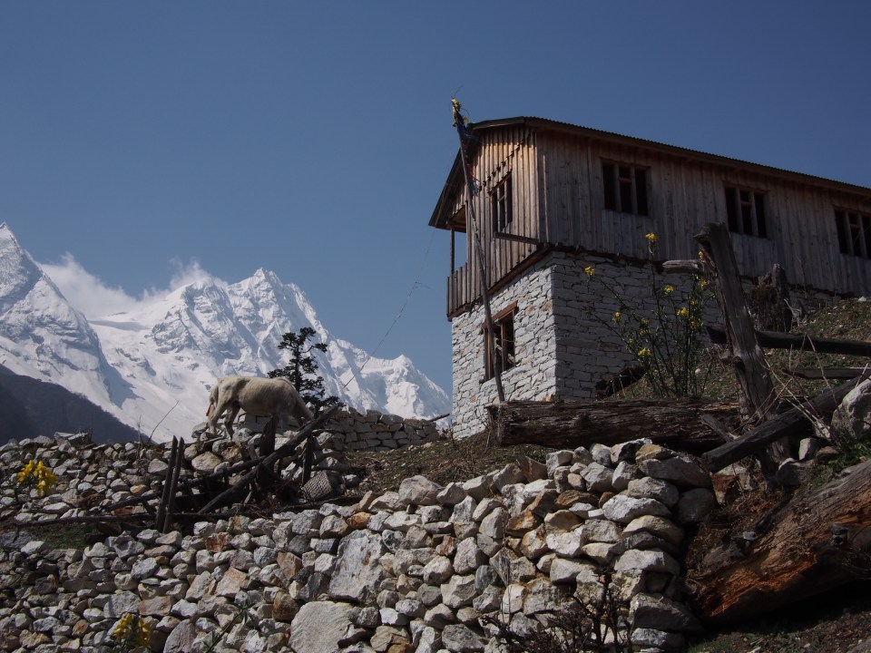

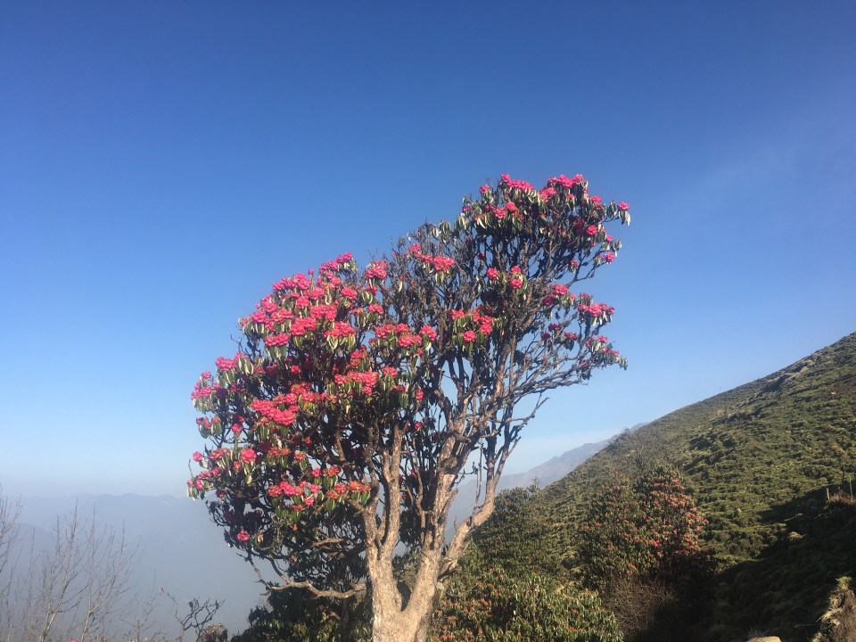
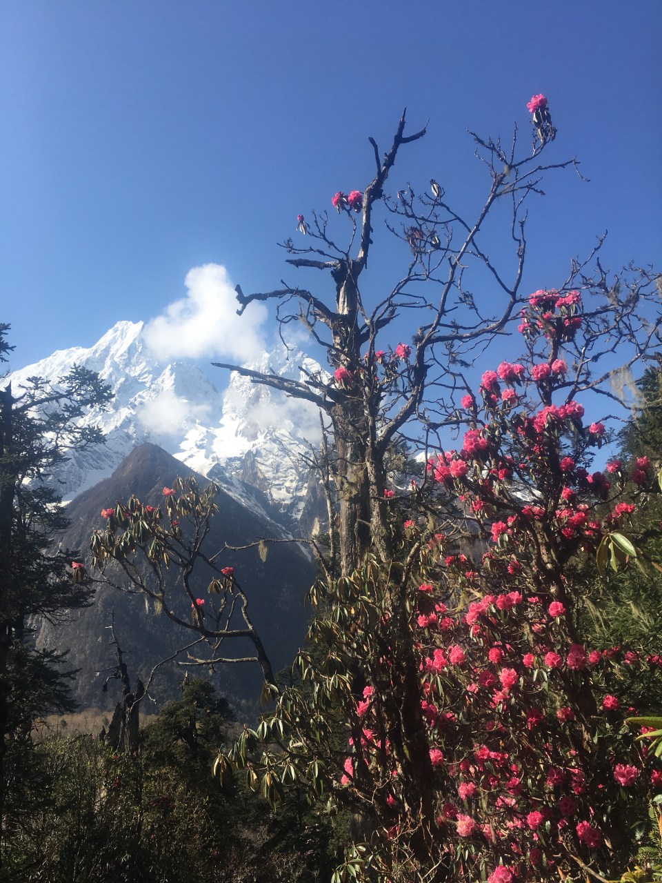
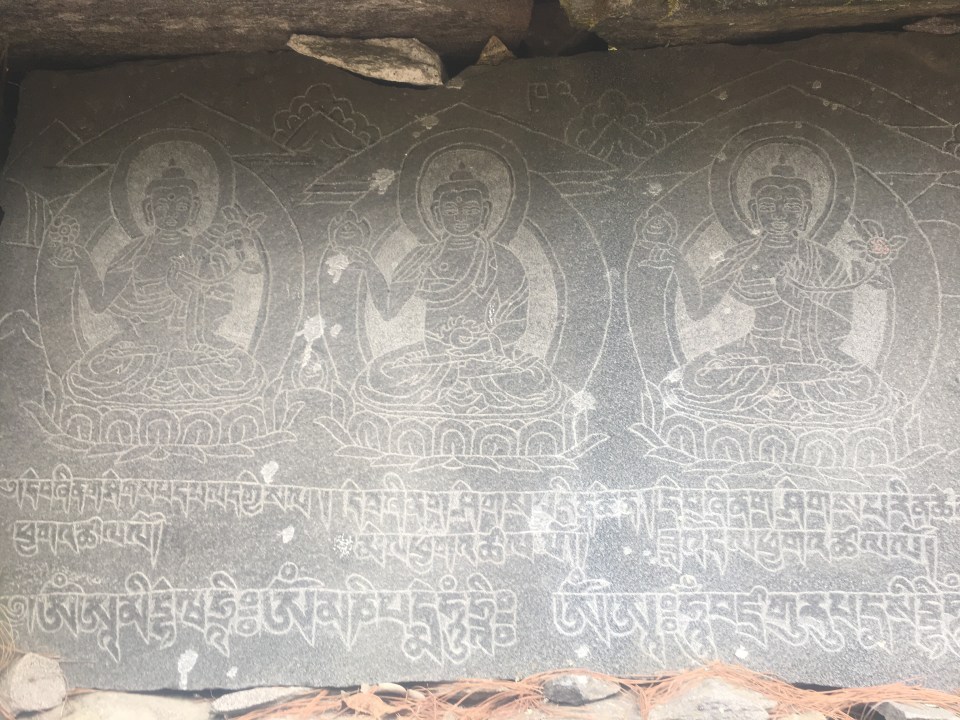
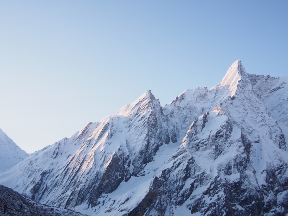
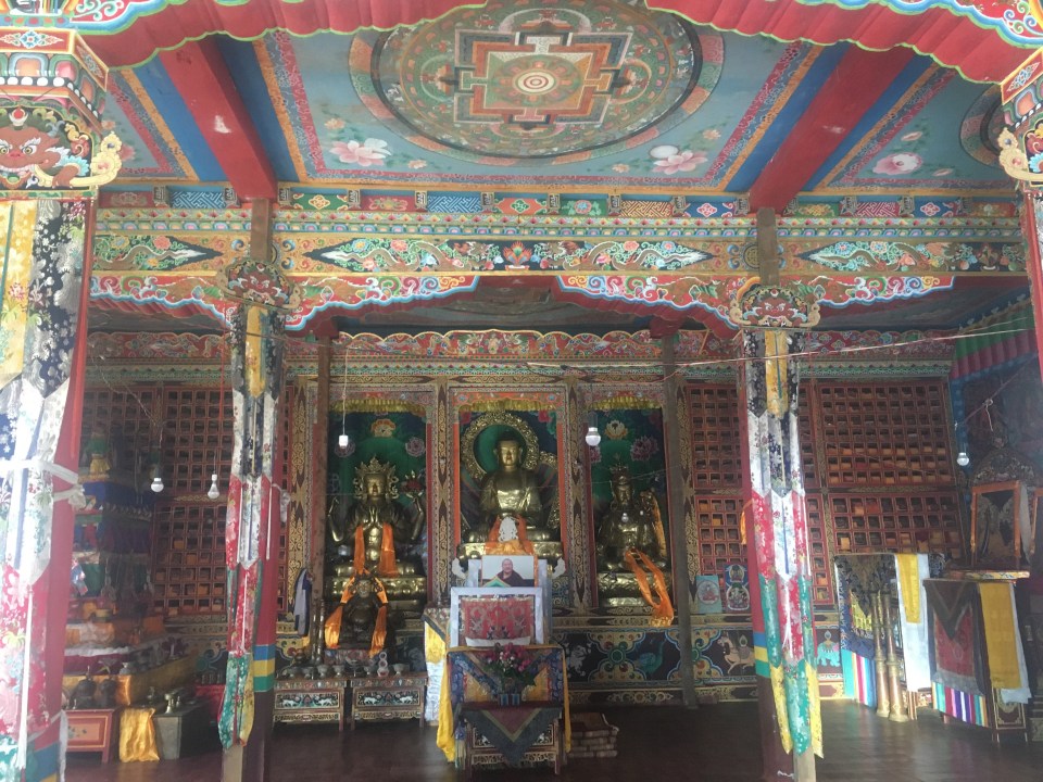 After we ate breakfast we quickly climbed about 500 feet to Ribung Gompa and had ourselves a little look around. This monastery was bustling with monks, I think there was a school there and they were all sitting outside studying. From the monastery we walked through lots of pink and red blooming rhododendrons and then the trail climbed steeply through a forest until we got to the town of Shyla. Mountains in every direction.
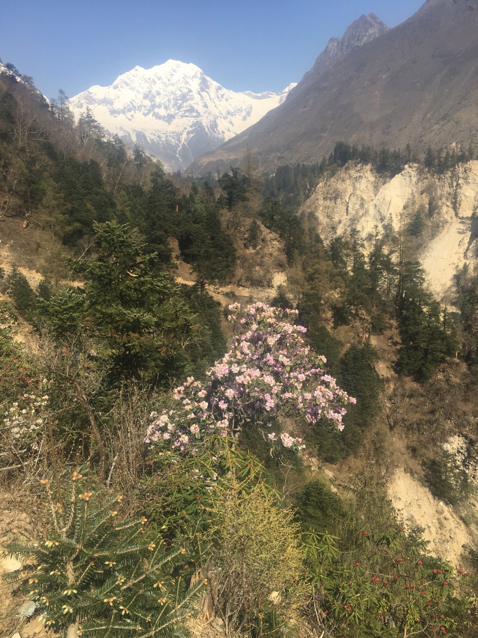
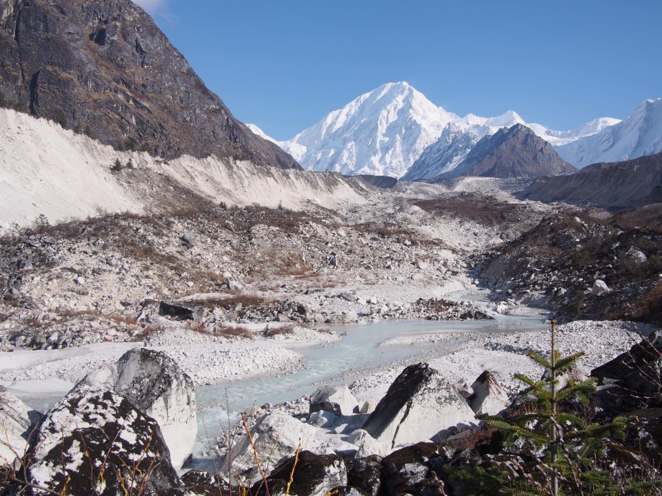
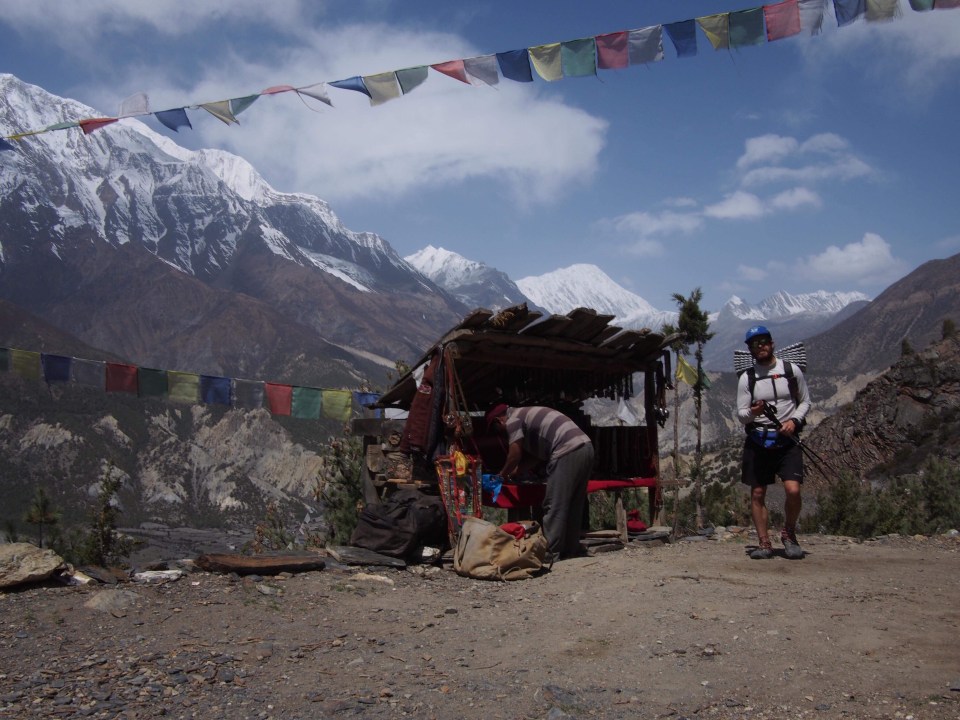
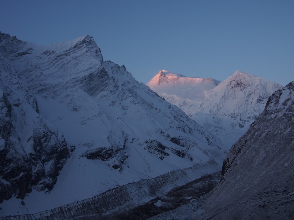
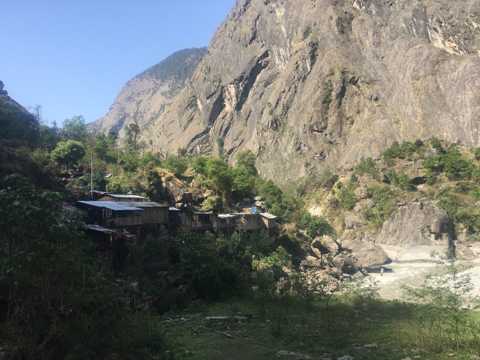
 Another hour of walking and we were in Samagon, one of the largest towns we’ve been in. I thought the villages would get smaller as we got higher but I guess since we are getting closer to the Tibetan border the villages draw people from Tibet. From Samagon the trail was really flat for a couple hours as we walked through a huge valley until we got to Samdo.
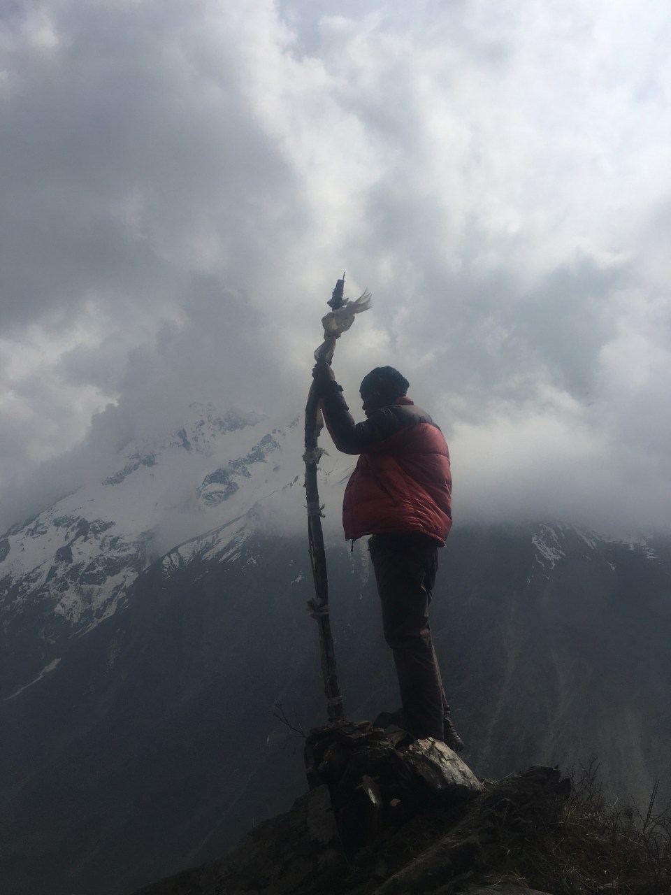

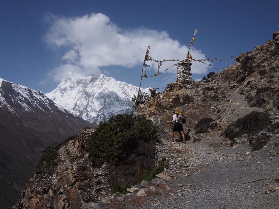
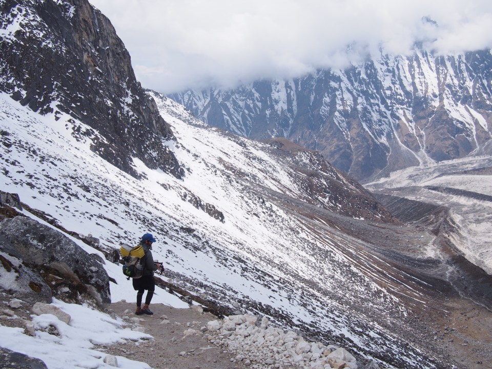
 Moist rebounded nicely from feeling lousy yesterday and joined us for the first couple thousand feet. He turned back at 14,700 and the rest of us continued. Gopal, Mac, QB and myself got to the border after about 4 hours.


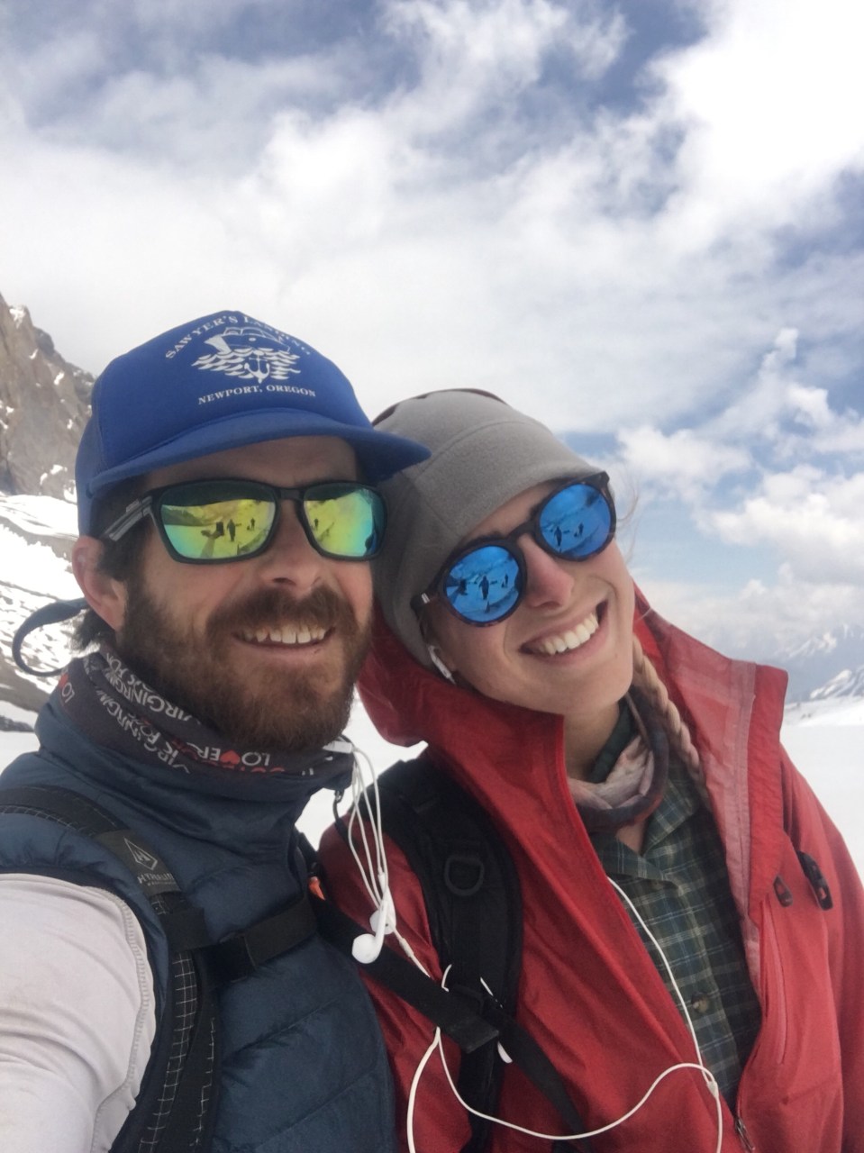

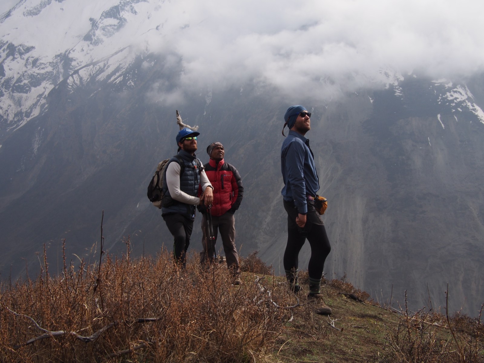
 Mac, Me, Moist
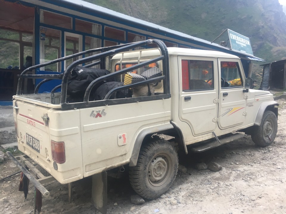
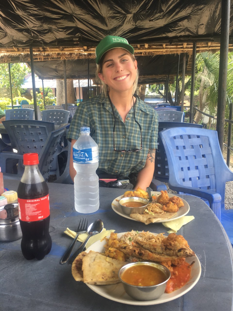
 this should get us there no problem
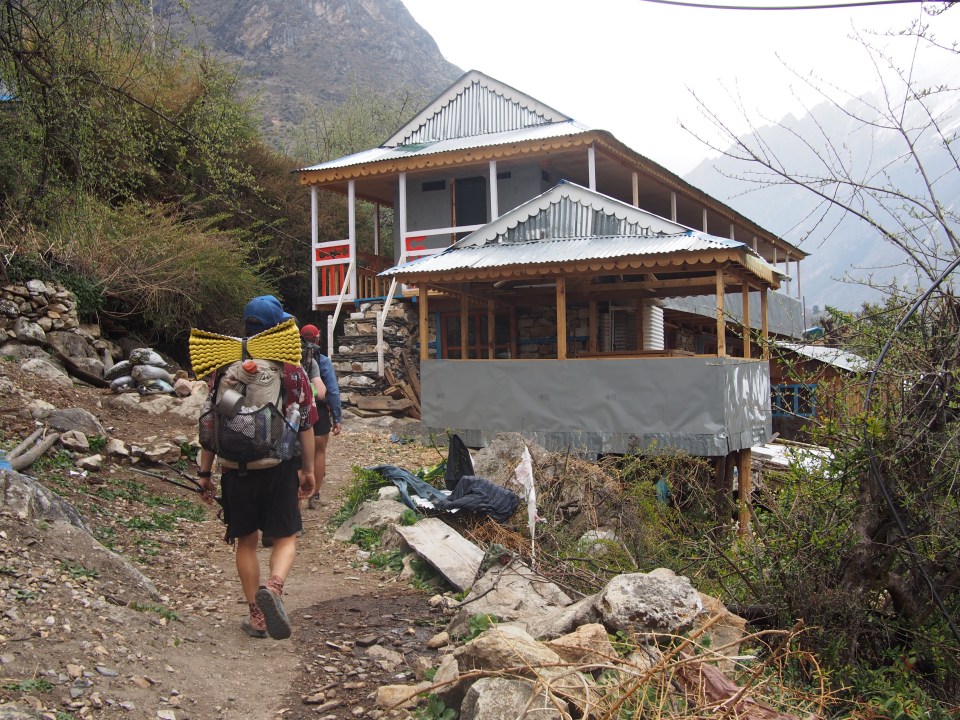


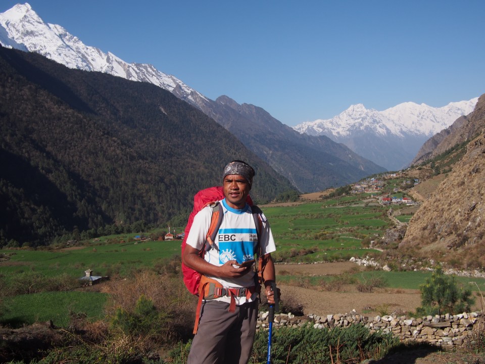
 our fearless leader, Mountain Tiger
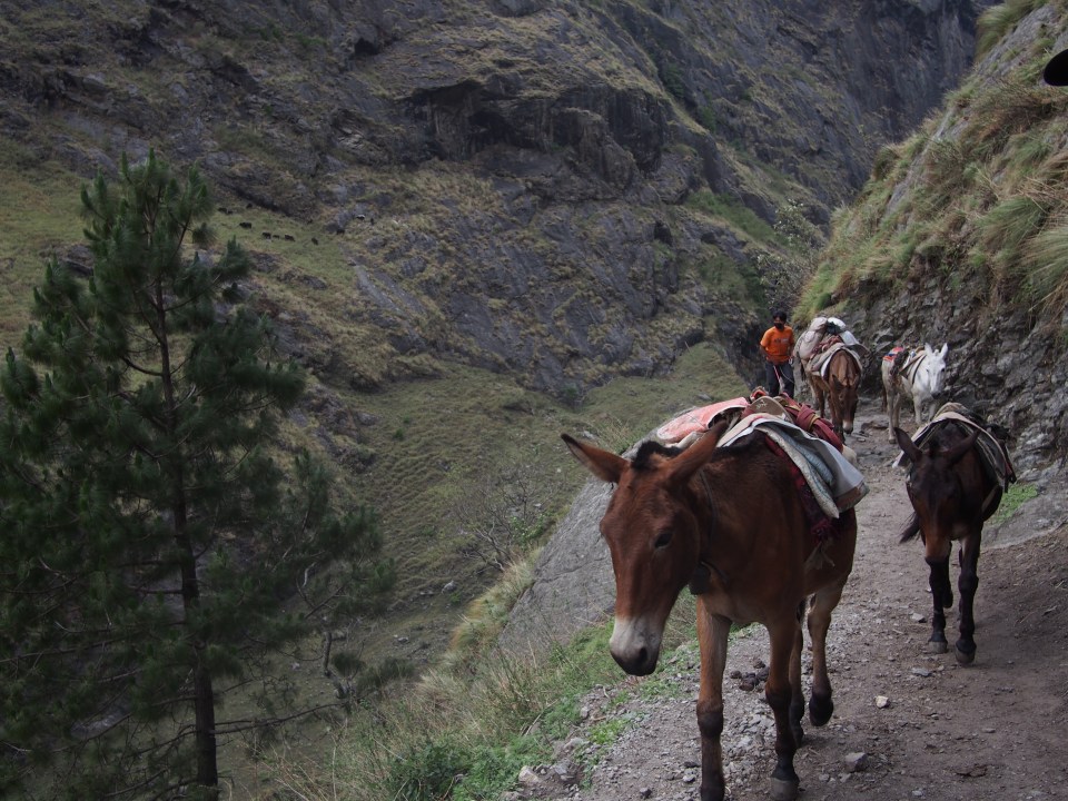
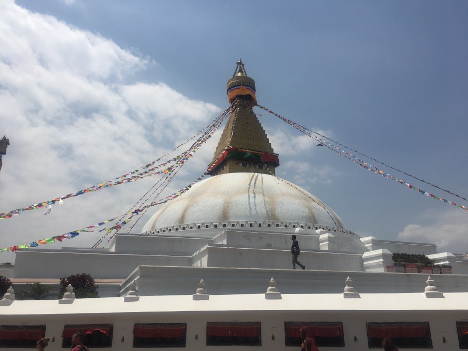
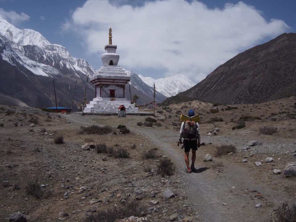
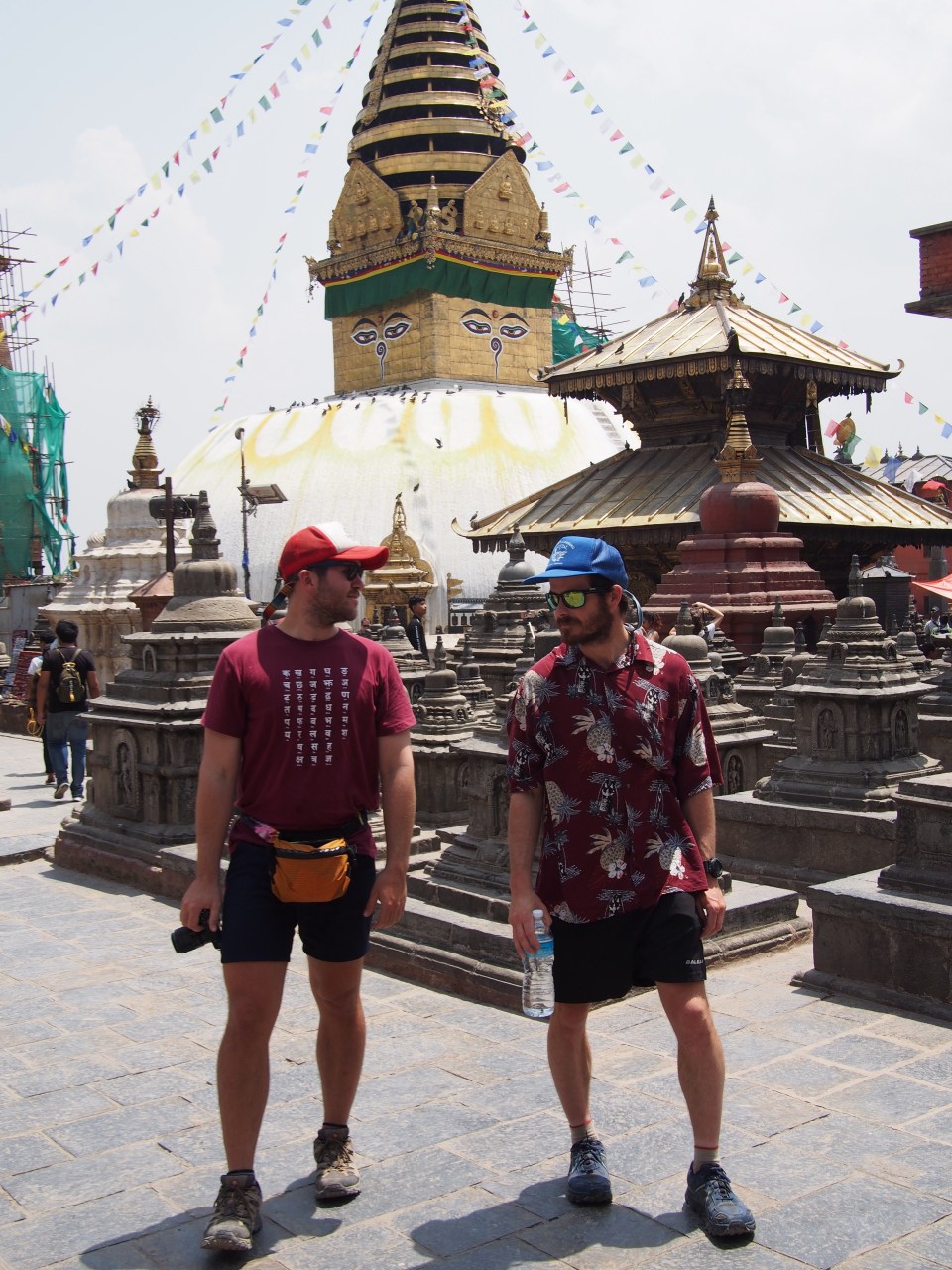
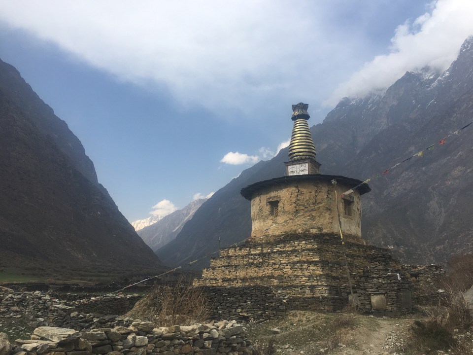
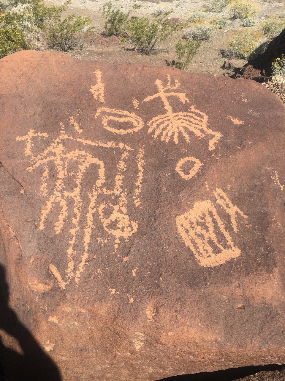
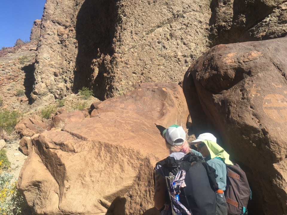
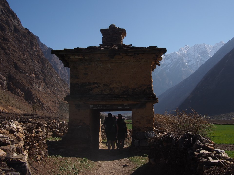 Stupa
Stupa


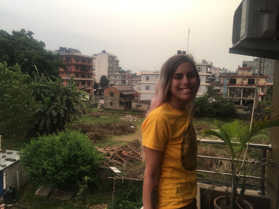
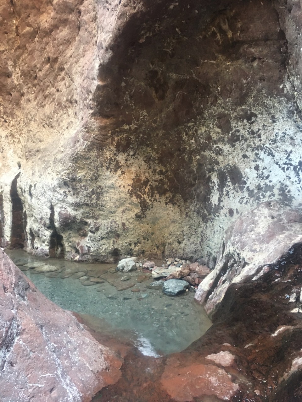
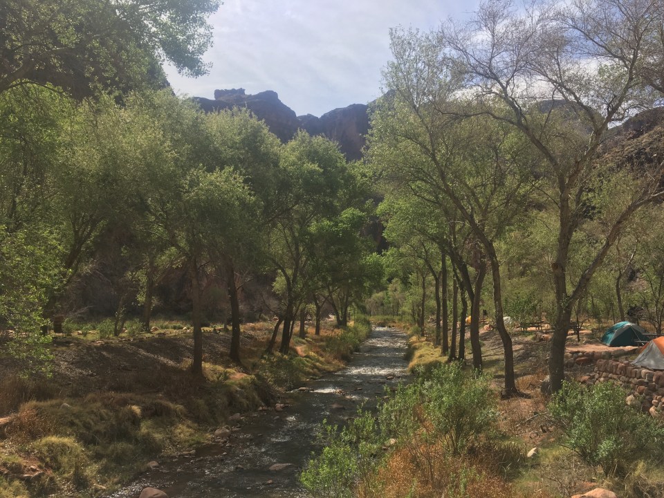
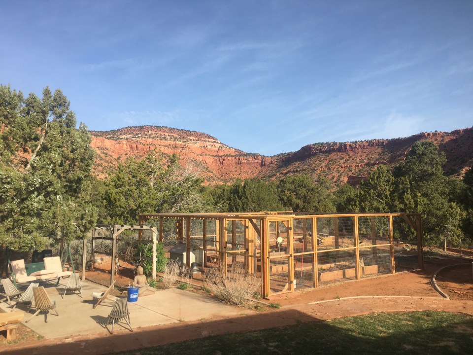 Lynn and Richard’s yard AKA Chateau Relaxo
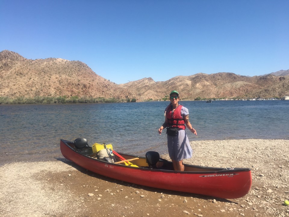


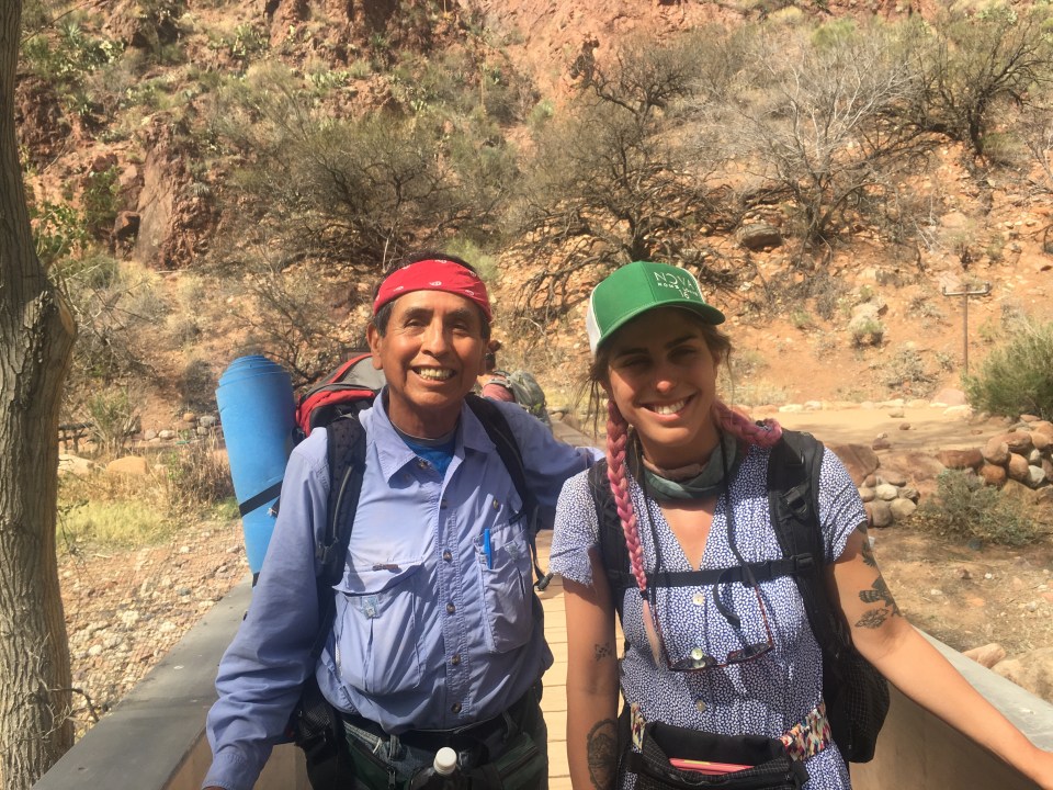
 our guide Mike
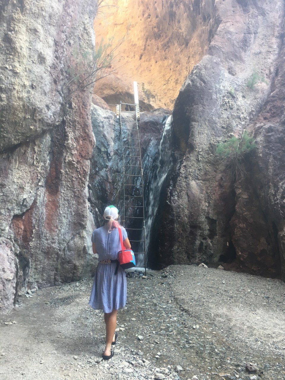
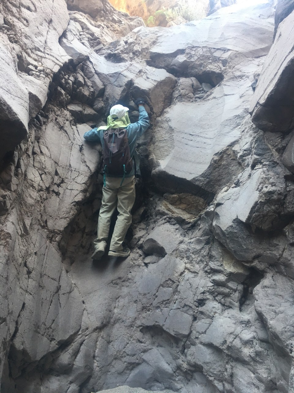
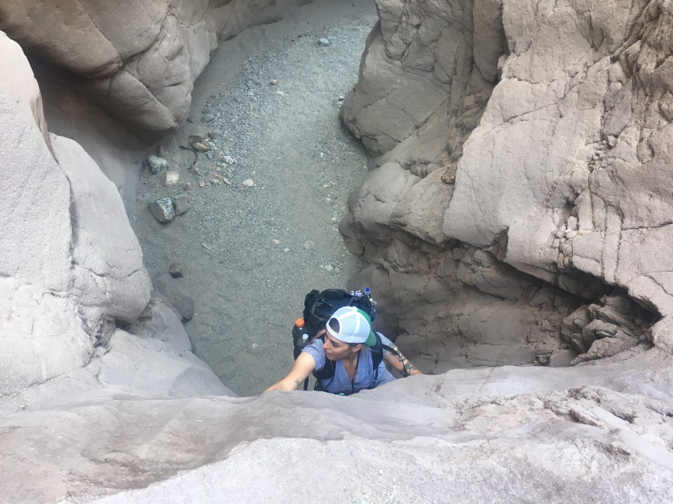 Spiderwoman!

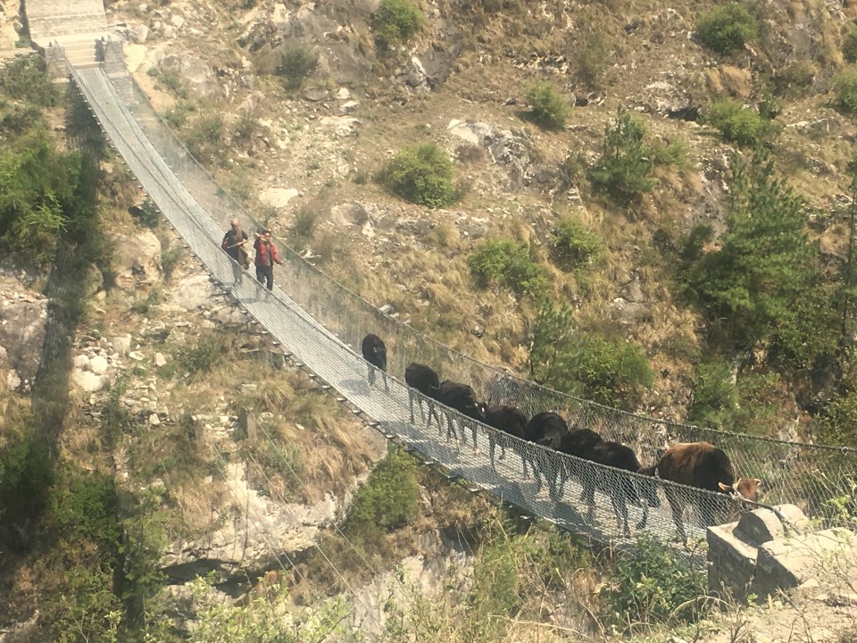
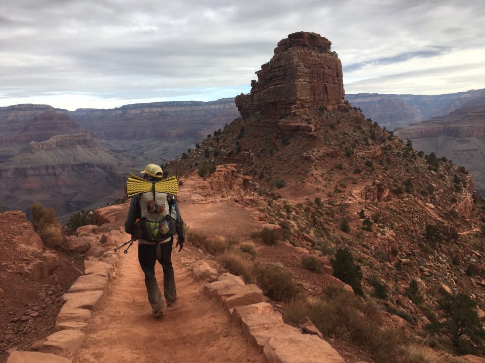
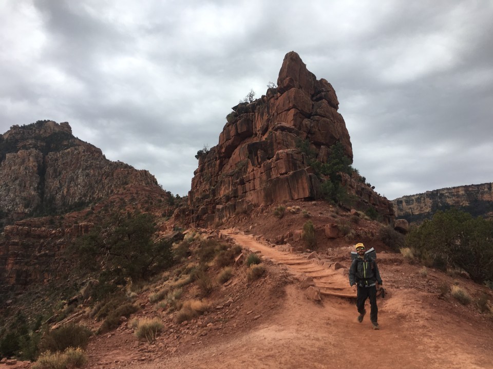
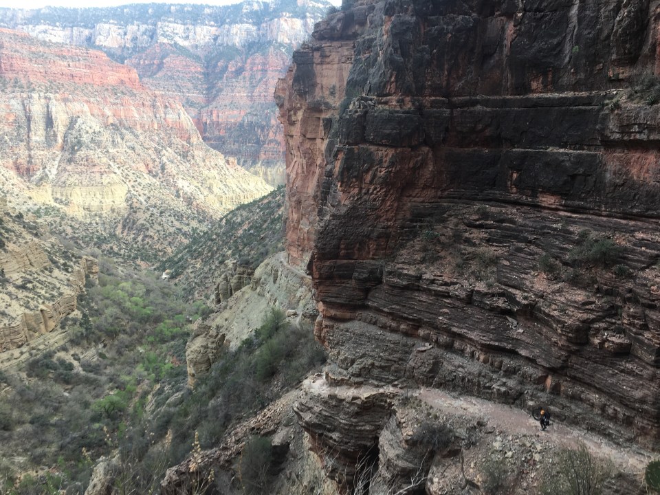
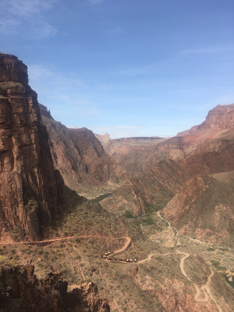 mule train
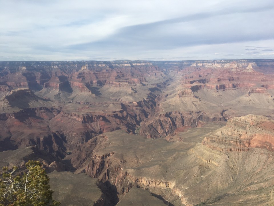
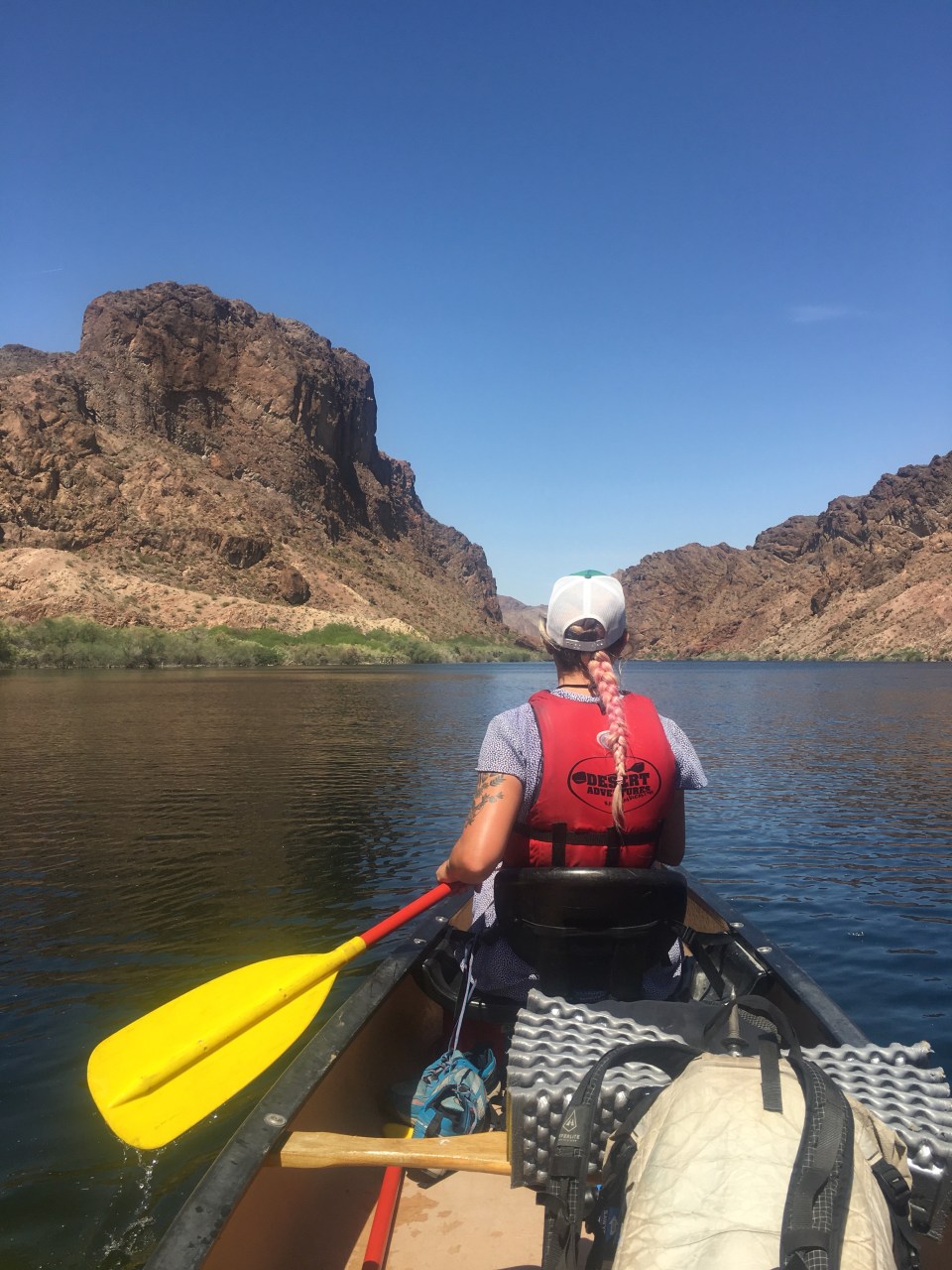
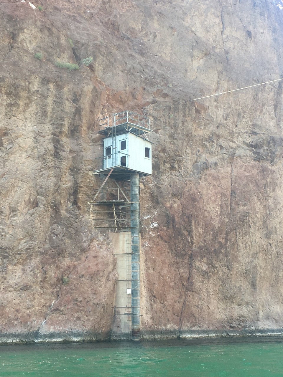
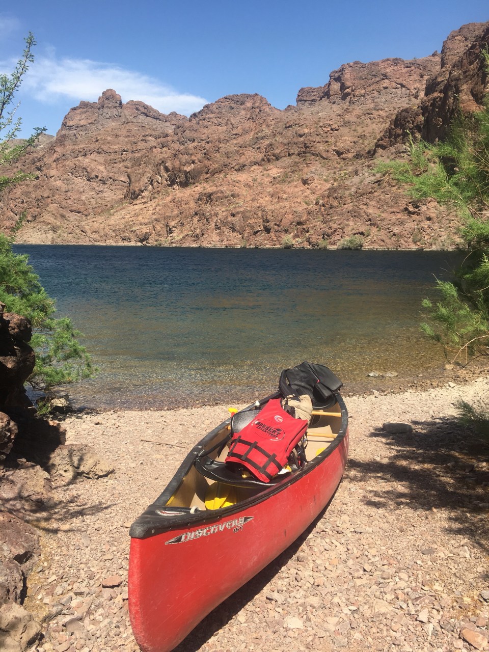
 this guy Tach told us he’s hiked down to the river and back 113 times plus a bunch of other stats about himself


 Richard and Lynn’s backyard


 Blurry bobcat