Breckinridge, CO
Day 57 6/25 10 miles
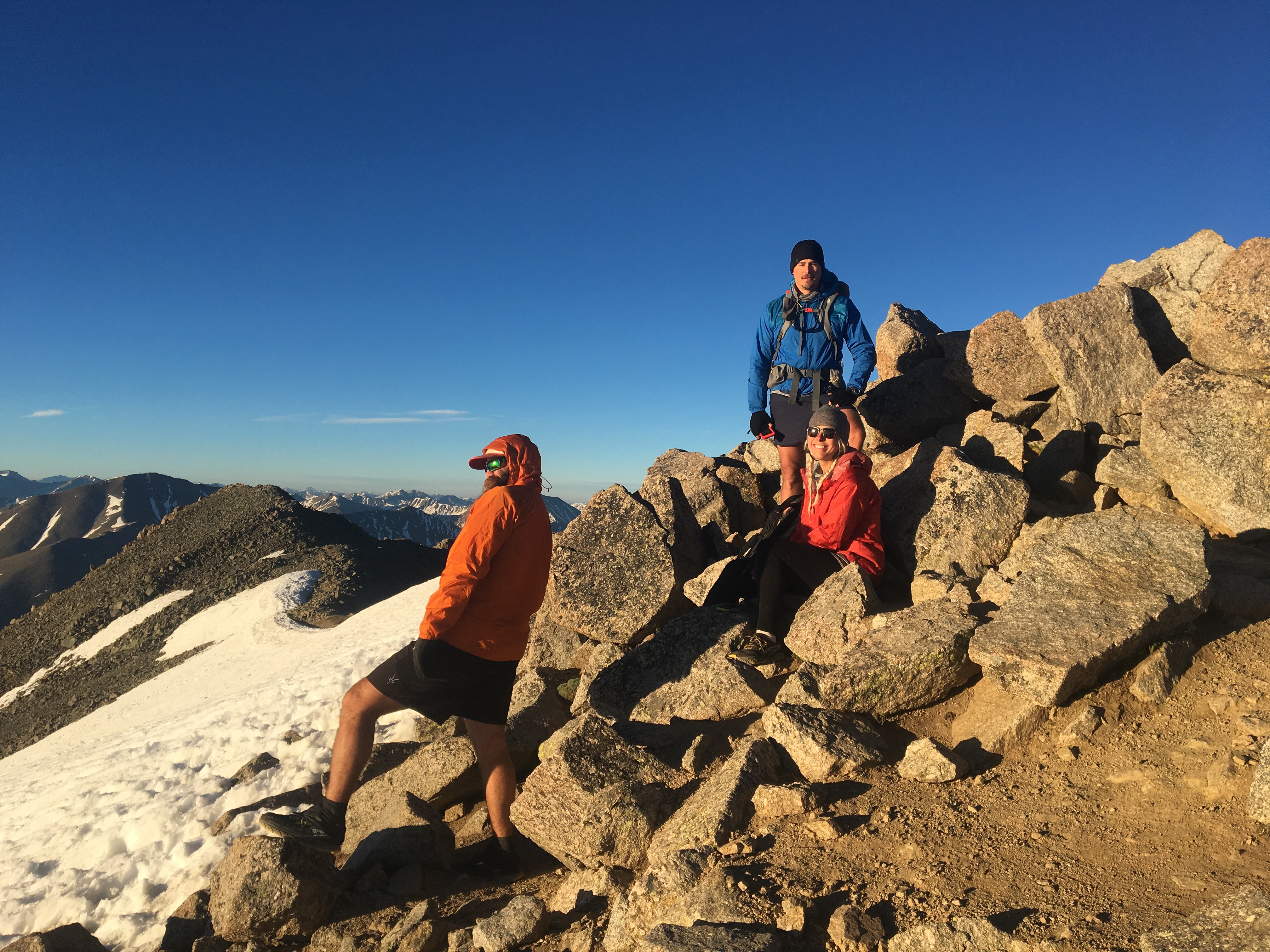
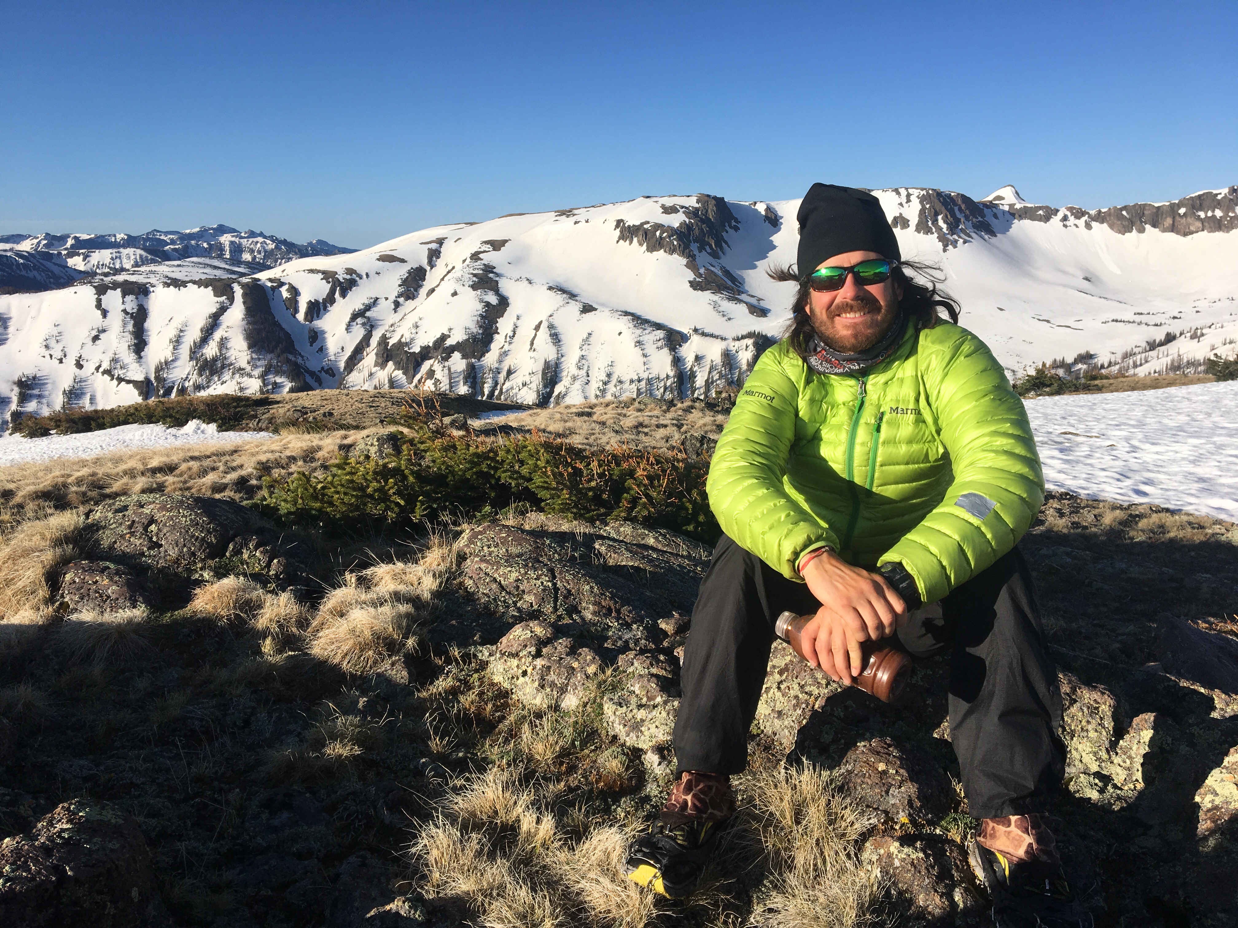
Last night Cheese and Jabba drove down from Denver and met me and Queen B in Leadville. We ate tons of Chinese food before leaving town then headed towards the south trailhead of Mt Elbert to camp. We started on the trail going up Elbert at 7:30 and made a beeline for the summit. The 4 of us are all in good shape and pretty much crushed it straight to the top. When we reached the summit we had a spectacular and unexpected encounter. In February Queen B, Prickly Pear and I met up in the Adirondacks to snowshoe up Mt. Marcy. There we met SoyBoy(AT late 90’s) and he was just beginning his quest to ski the high point of each state. Since then we haven’t had any communication and didn’t connect on social media. I don’t even remember if we told him we’d be hiking the CDT. Anyway QB and I had taken the day off from the trail today to climb the high point of CO and of all people SoyBoy was at the summit just putting his skis on when we got up there. I couldn’t believe it, I recognized him right away and he remembered us too. QB and I had even mentioned him earlier in the day because someone told us they saw a guy carrying skis but neither of us thought it would be him. He had flown in from Maryland just the other day to climb and ski Mt. Elbert for his 5th high point. Unusual coincidences seem to happen to me quite often but this one is kind of mind blowing, I can’t even fathom what the chances are of this encounter. If you want to follow SoyBoy on his journey check out his insta @skithehighpoints. After he skied down the 4 of us spent about 45 minutes on the summit with a ton of other hikers on an absolutely beautiful day. The descent went smoothly and we went into Leadville and pounded pizzas and subs. QB and I had originally planned to get back on trail today but a little nudge to hike Colorado’s second highest peak, Mt Massive, got us going in a different direction. Cheese drove the 4 of us out to the trailhead and we then walked a mile or so to camp with plans of a sunrise summit of Massive. At the trailhead though we got quite a show. The road there goes right through the parking lot and then through a river. Not a little creek, a legit river. As we were packing our stuff for the hike, some nitwit comes bombing towards the river in his old Ford Explorer and we all went running right after him because this was obviously a recipe for disaster. And it was. He was safe and unharmed and everything but the truck was dead in the water and probably won’t be passing inspection anytime soon. 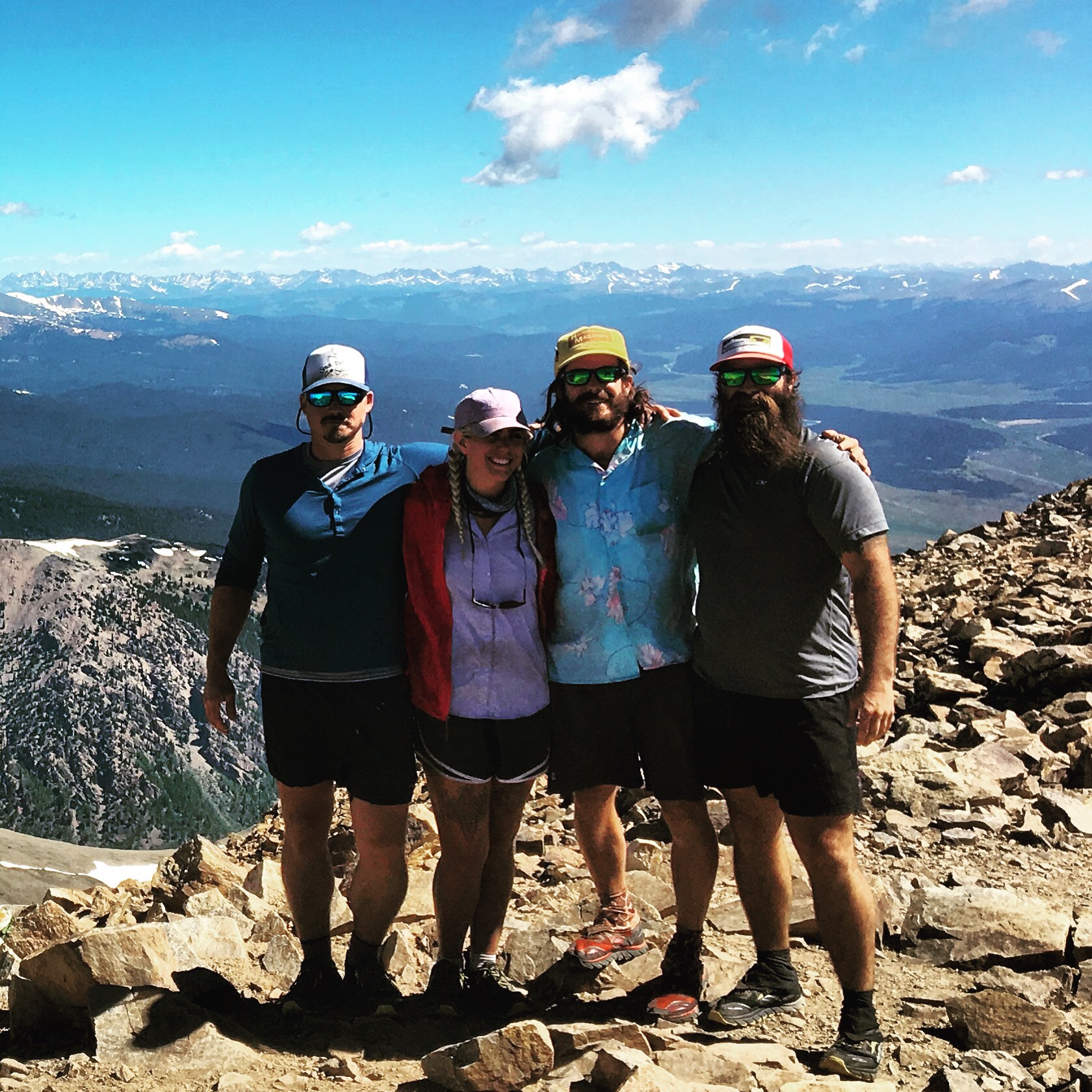 Cheese, QB, me, Jabba
 QB, SoyBoy, and me
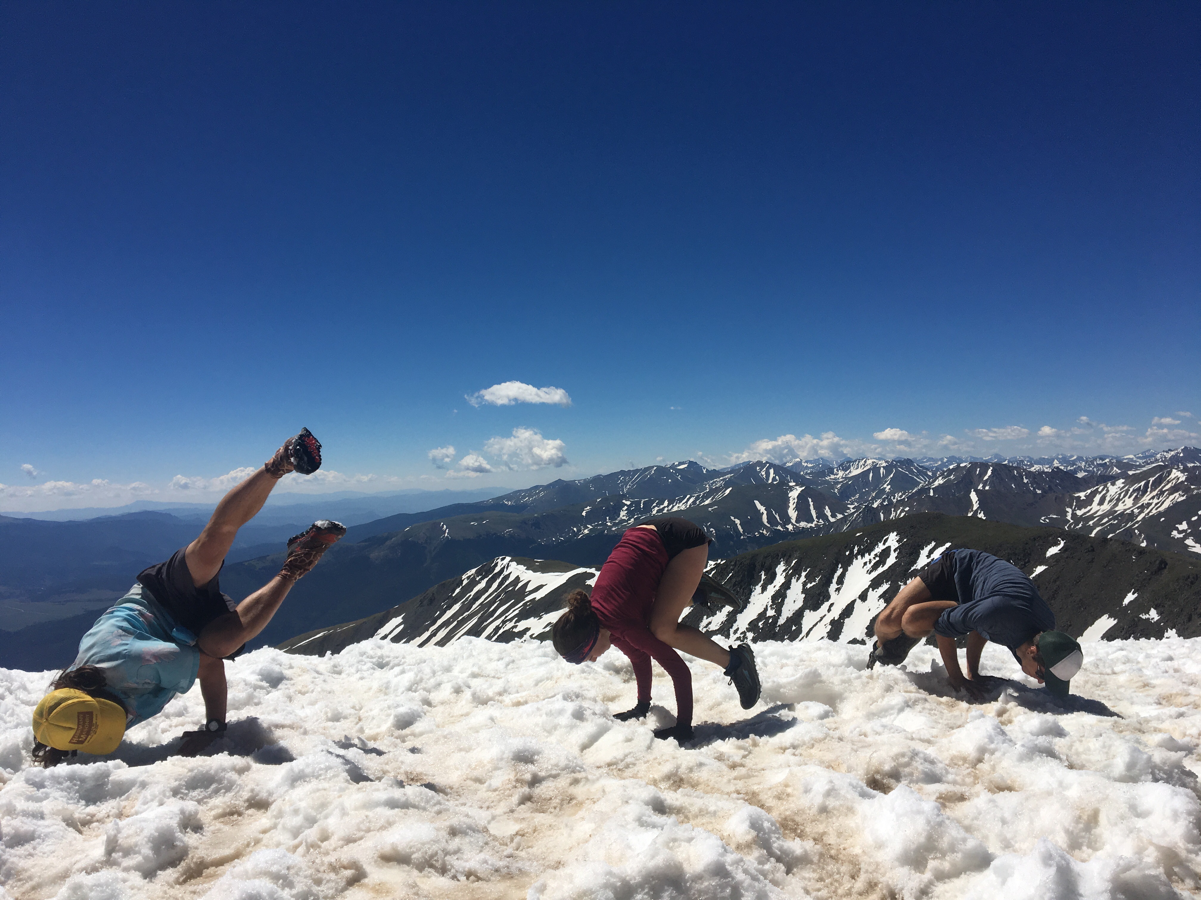 pose down on the summit with Lotus and Hermes, a couple former PCT thru hikers on a summer long road trip
 Been there dude, sorry we didn’t have the means to pull you out
Day 58 6/26 14 miles
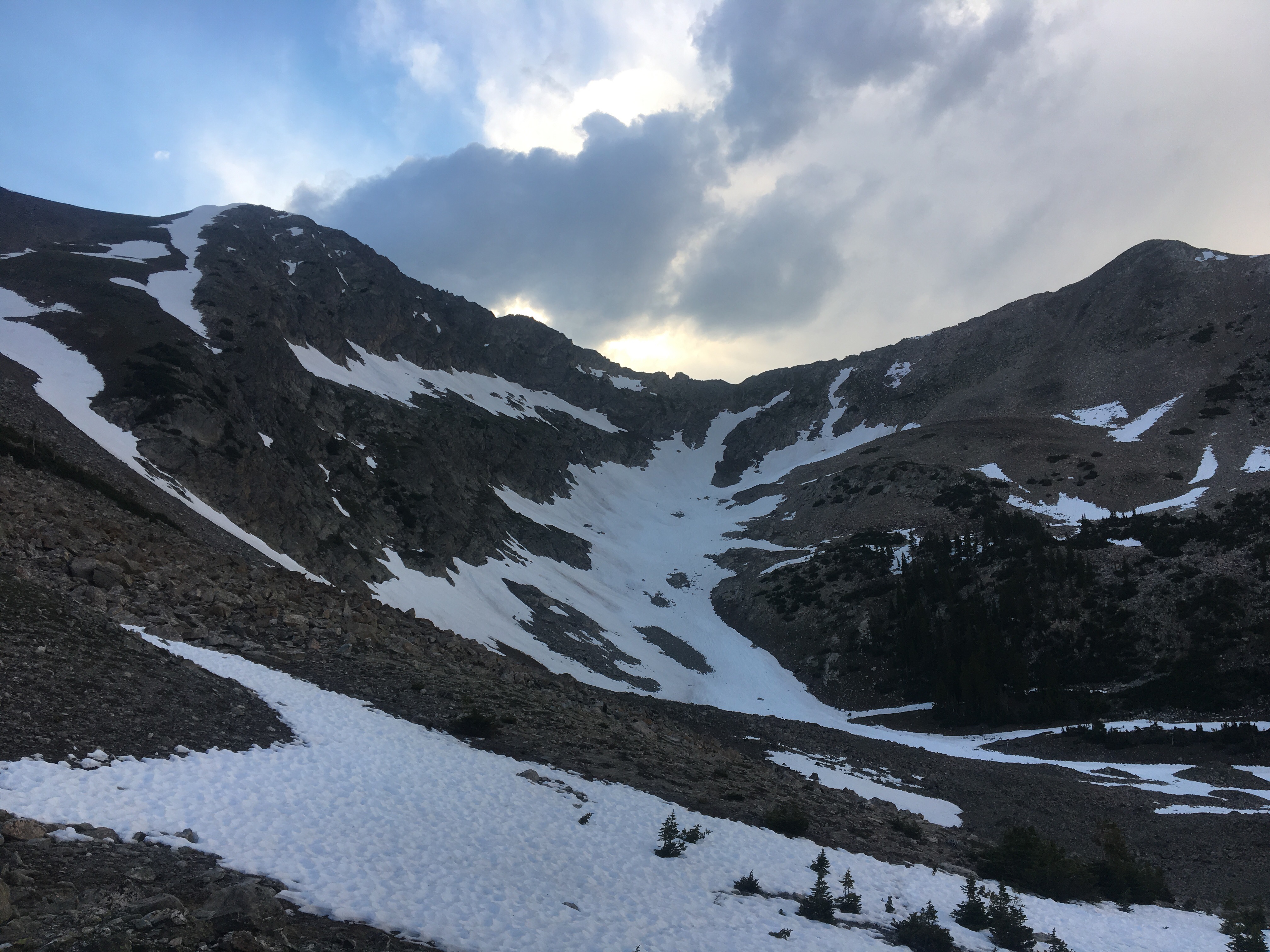
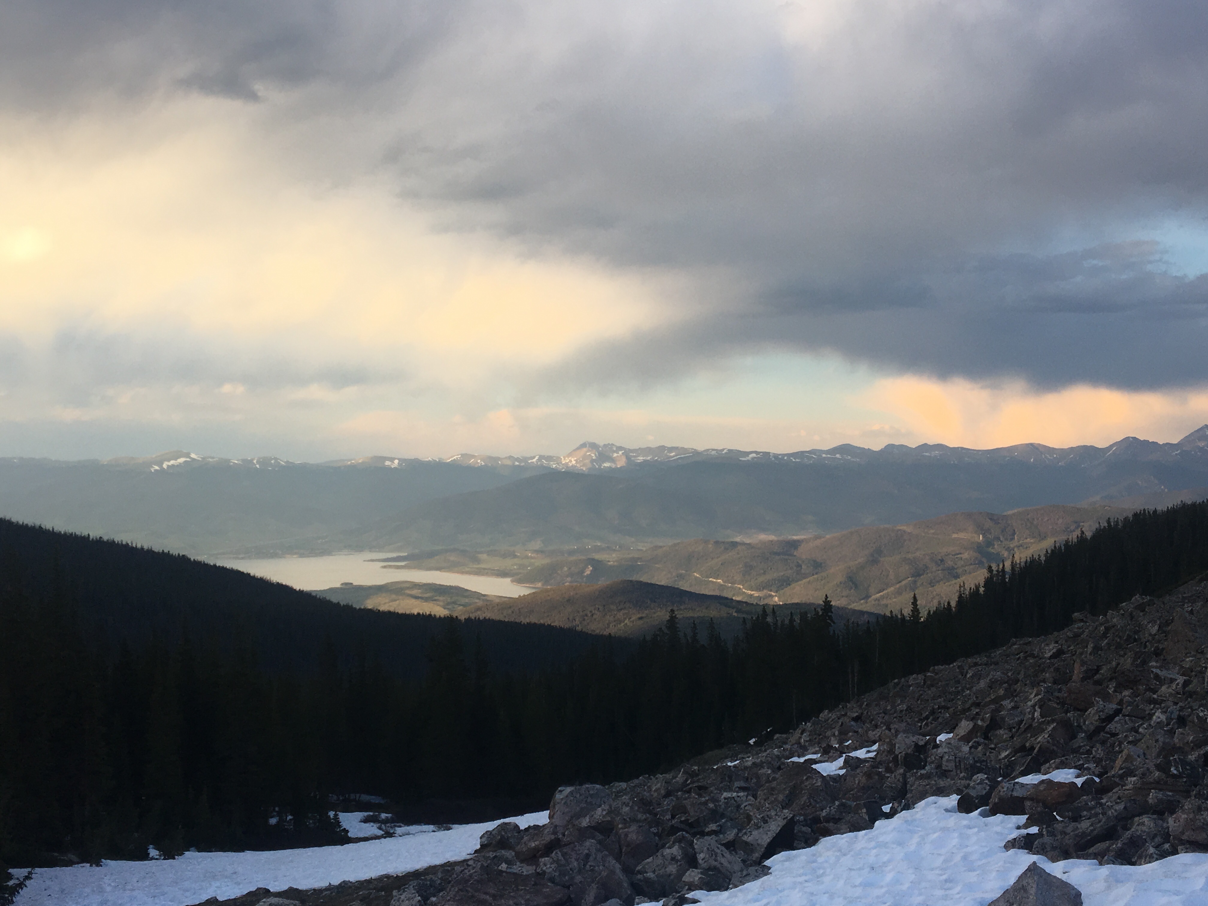
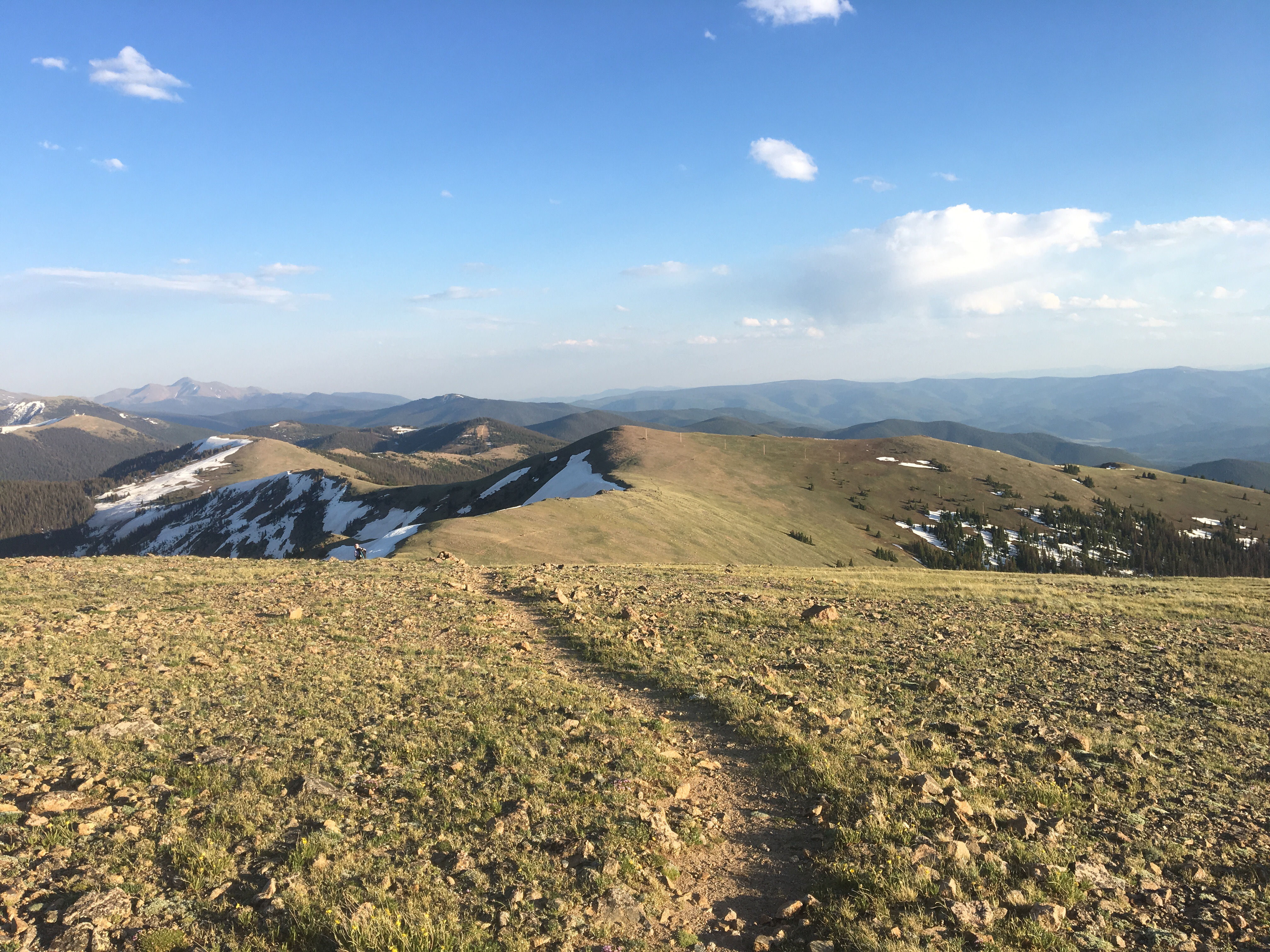
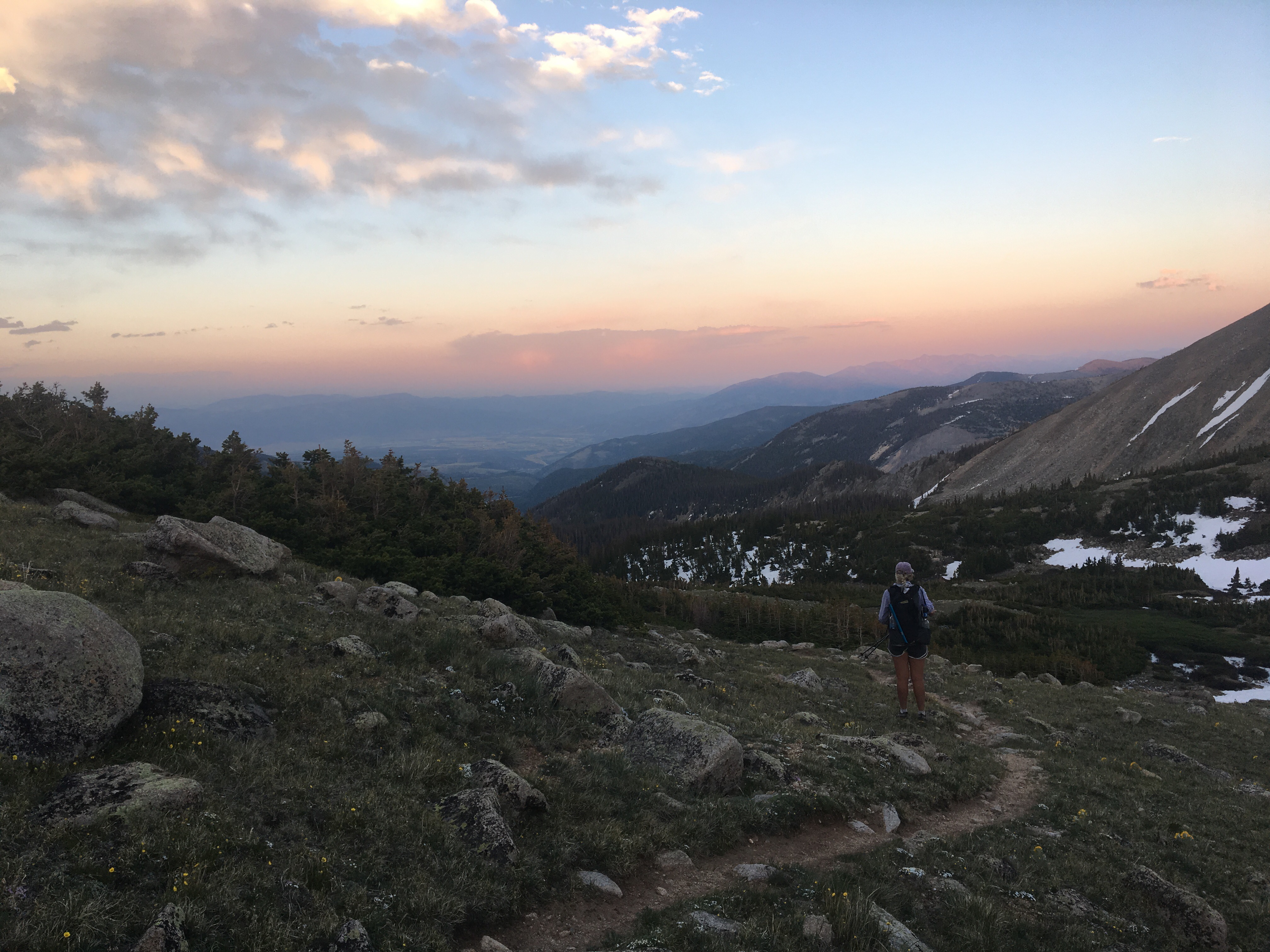
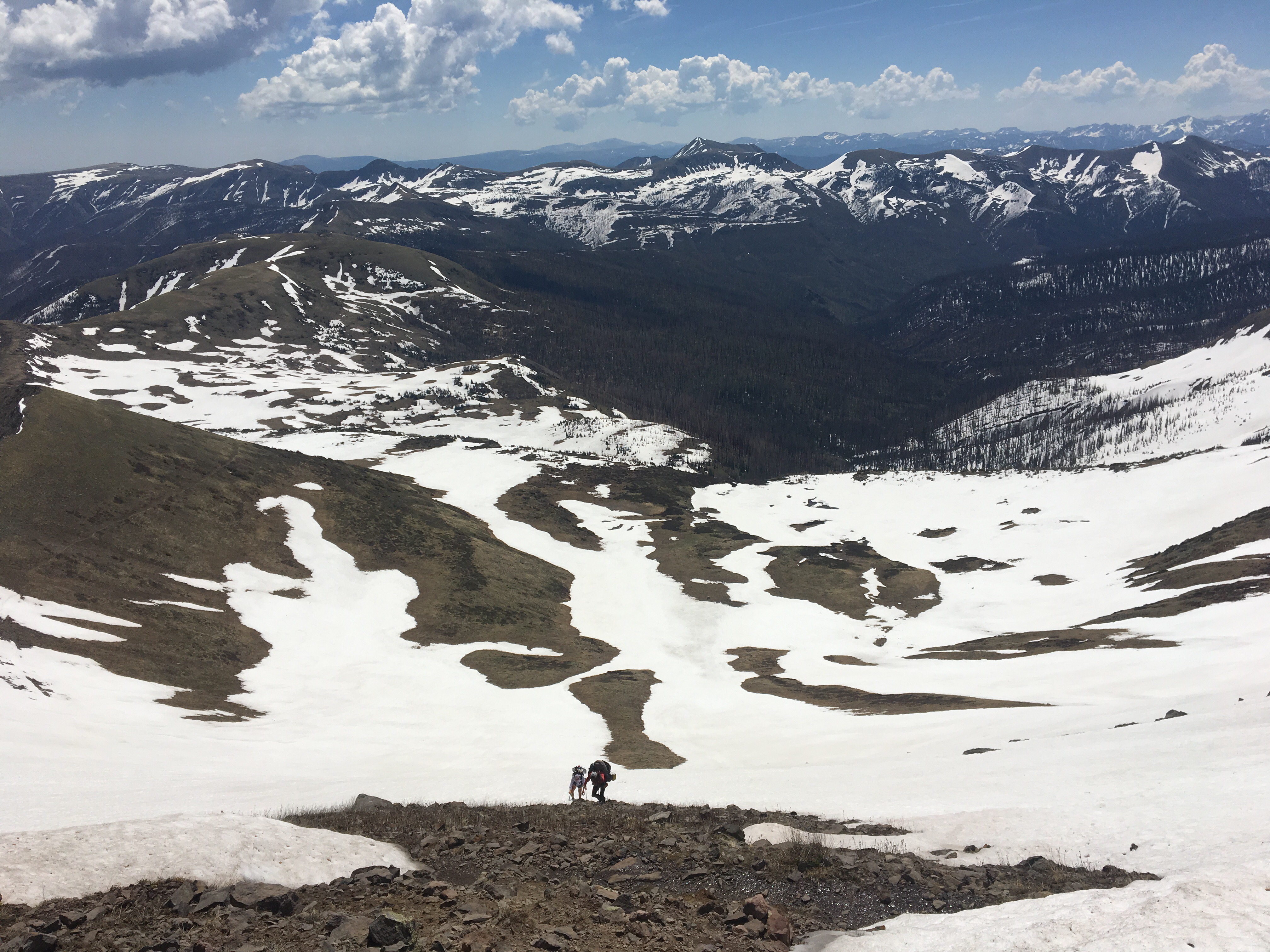
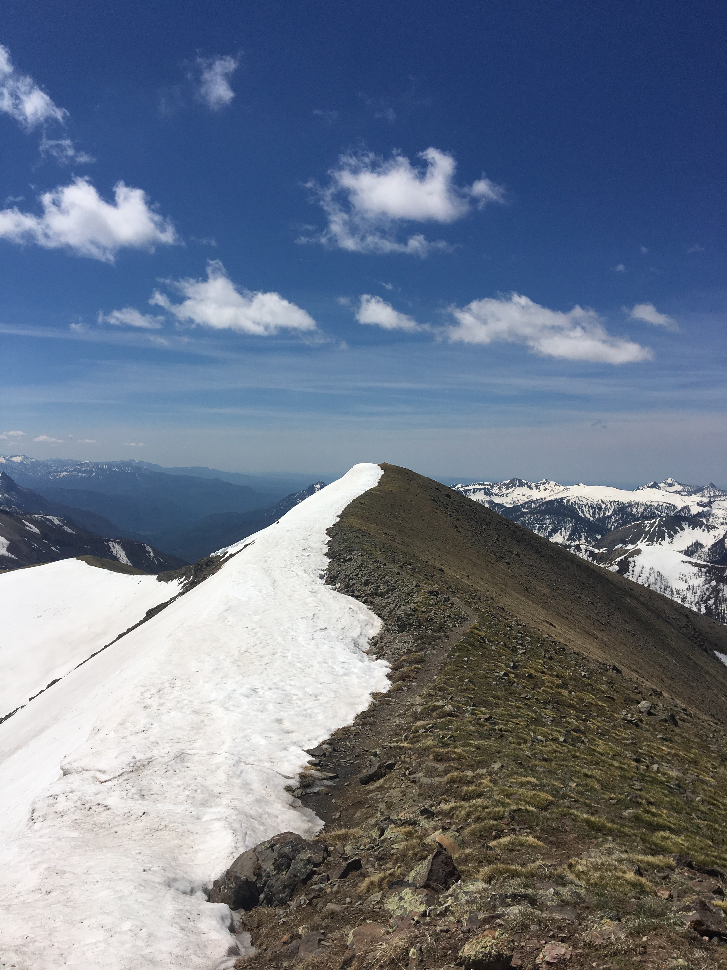
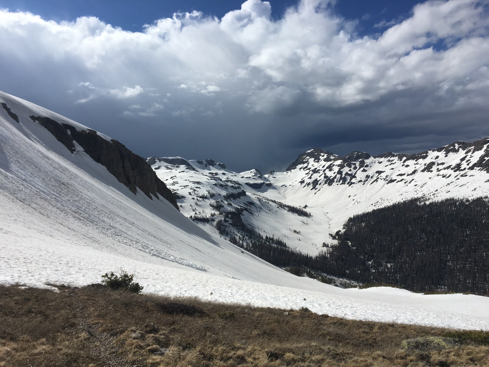
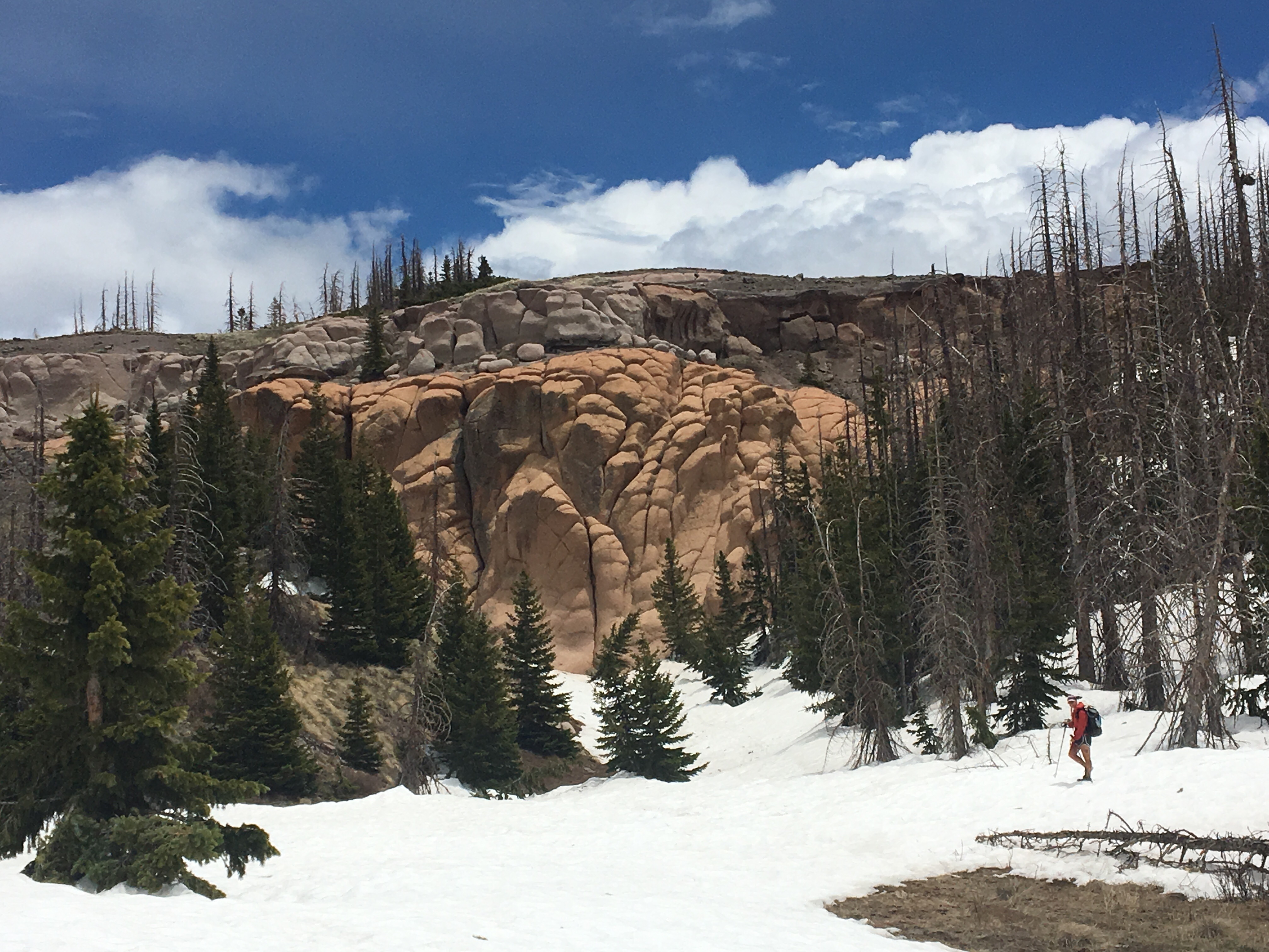
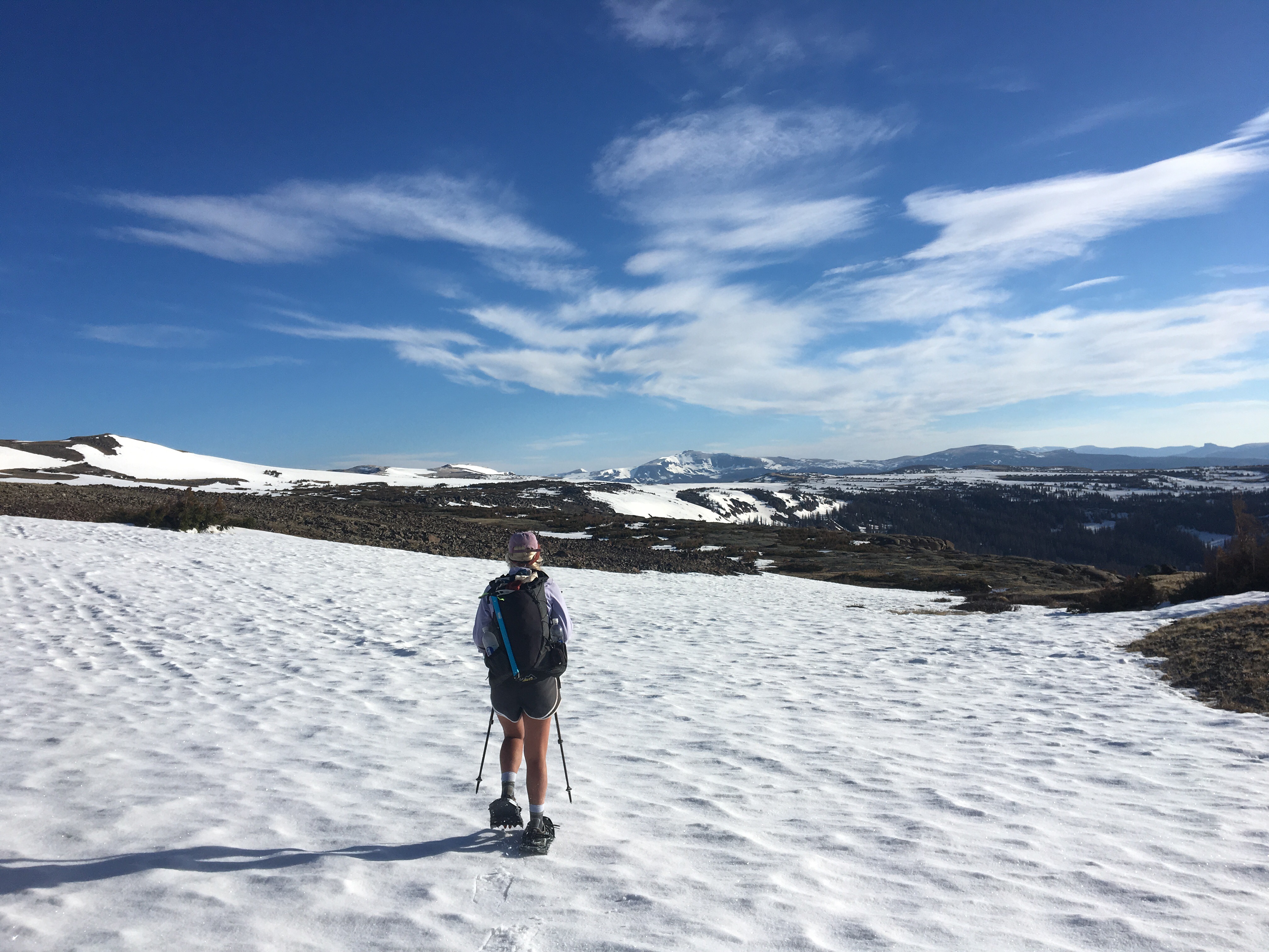
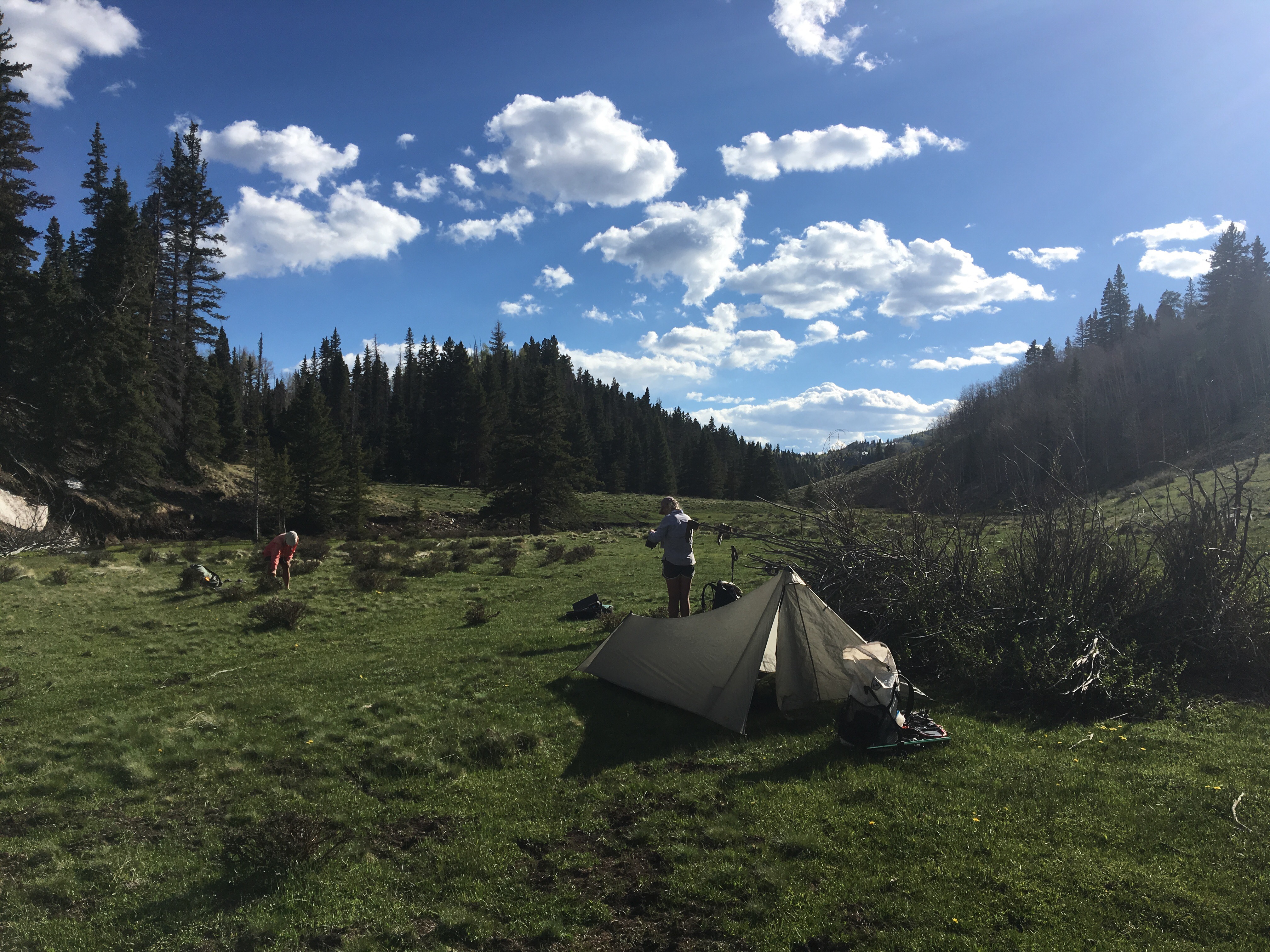
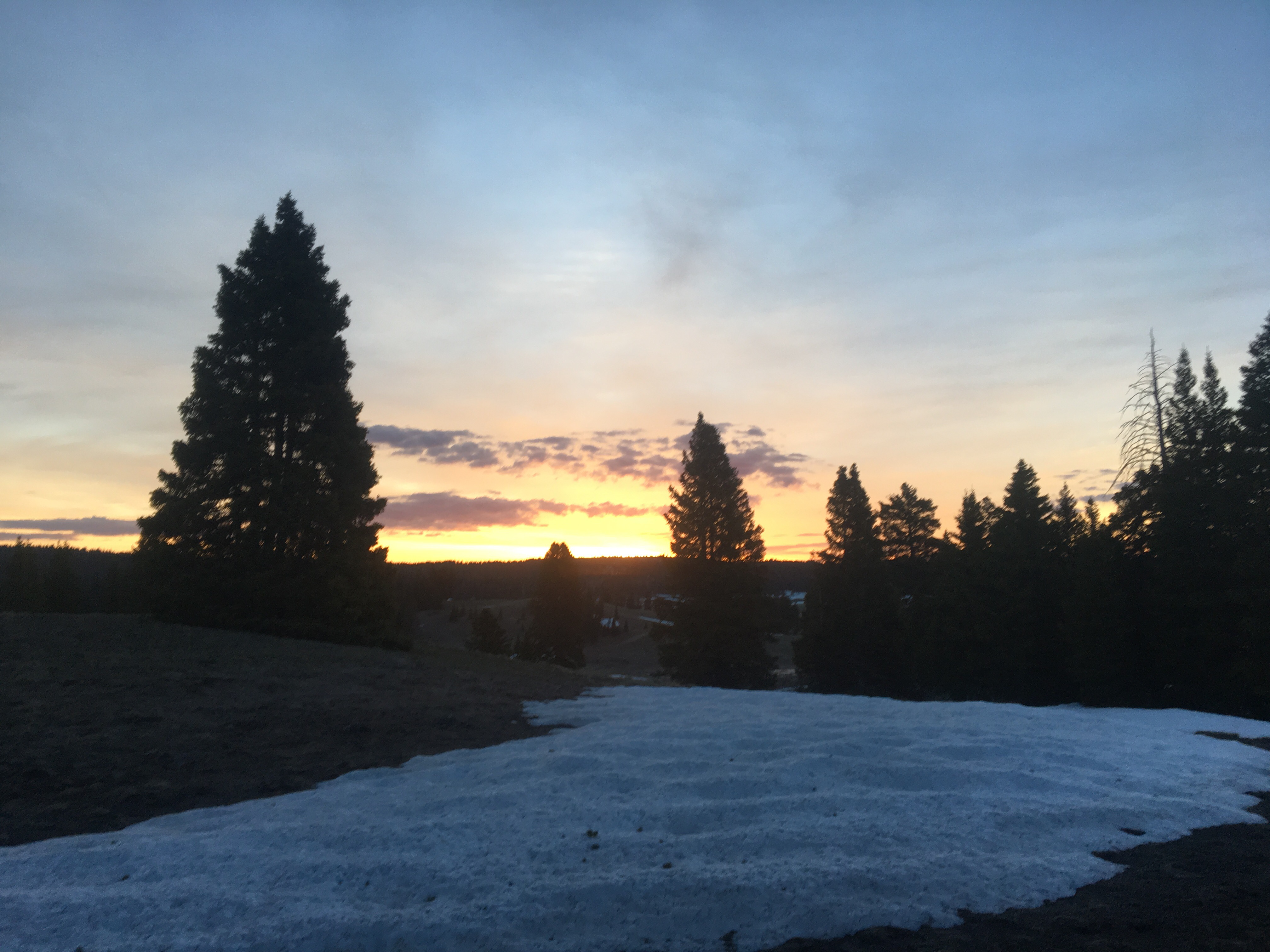
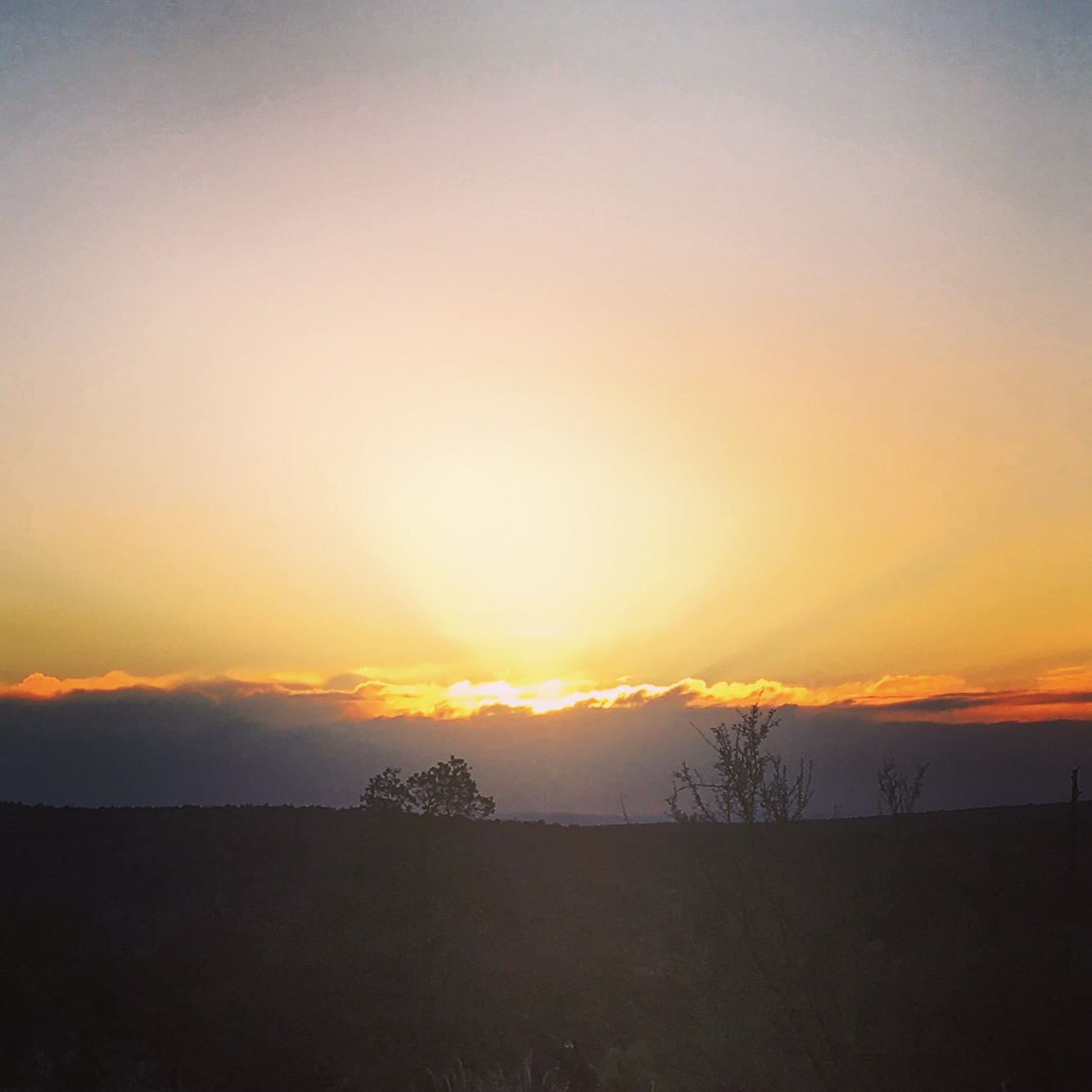
Cheese, Jabba, Queen B and I were all camped at the end of a gulch at the bottom of a steep trail to the top of Mt Massive. The plan was to wake up at 3 and start hiking shortly thereafter in order to be on top for the 5:40 am sunrise. I couldn’t sleep a wink. I’ve dealt with insomnia my whole life, especially when I have to get up early for something exciting, but I usually sleep pretty well on trail. No big deal, I’d sleep later. At 3am we all began stirring and by 3:20 we started up the steep trail to the top. For awhile it was mostly rocky switchbacks but eventually we lost the trail across a snowfield(even with headlamps) and just continued up to the ridge scrambling carefully on snow and loose rock. There wasn’t much time to screw around so we barely stopped until we got to a spur up on the ridge just minutes before the sun came up. There were incredible views in all directions; huge snow capped mountains and a blanket of undercast clouds most likely full of Care Bears. We carried on along the ridge until we got to the summit and hung out there for about an hour. Nobody else decided to make it up for sunrise so it was just the 4 of us on top of the lower 48’s 3rd highest peak. The descent was much easier than I anticipated because we were able to pick up the trail in the light and sooner than later we were back at Cheese’s truck driving to town. Queen B and I got dropped off in Twin Lakes and after eating some cheeseburgers got back on trail where we had left off a couple days before. I needed a nap in the worst way so soon after getting back into the woods I found a spot and crashed out for awhile. Around 5:30 I started making moves and picked up about a half dozen miles before crashing out again for the night. 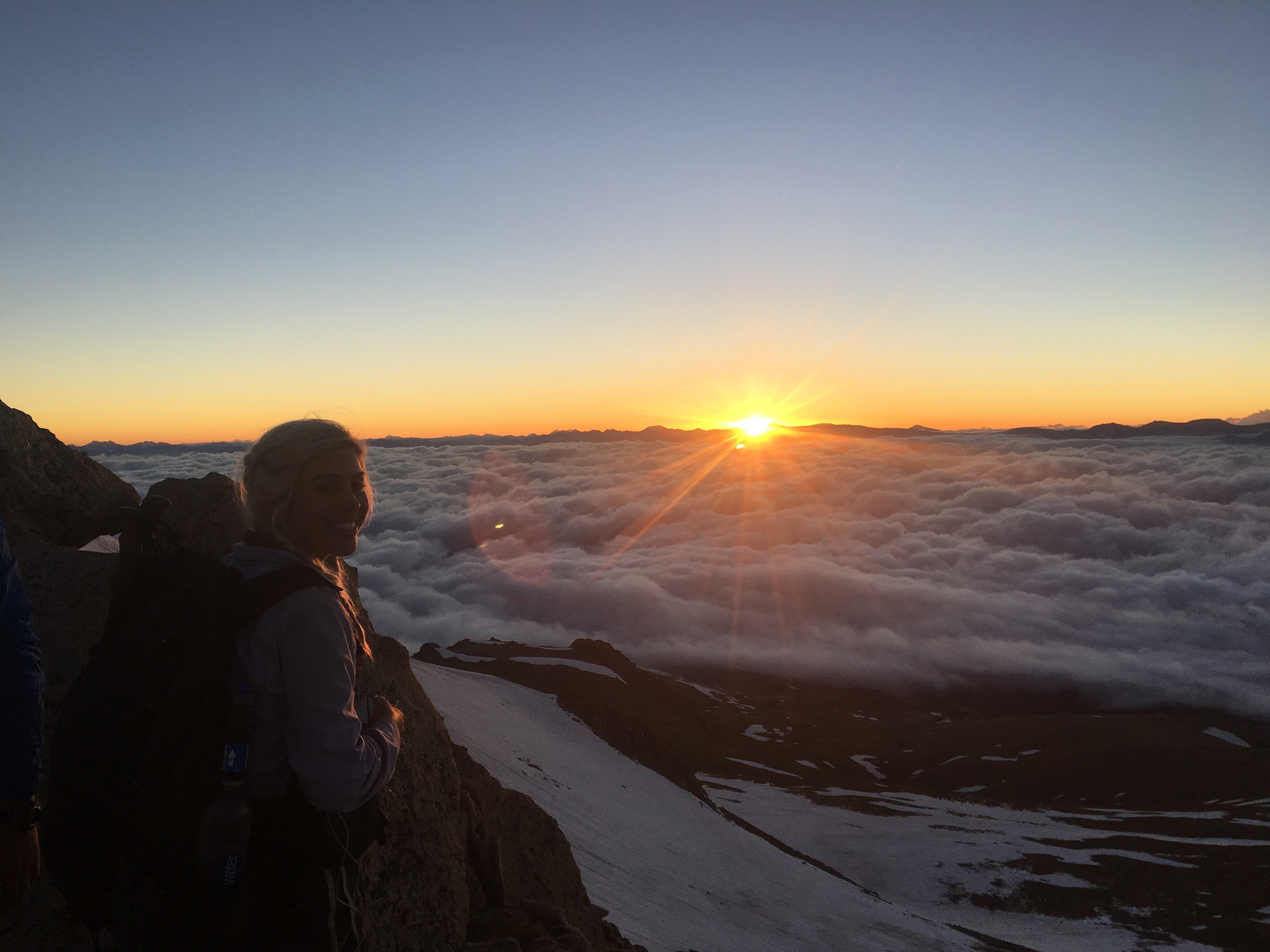 QB watching the sun come up
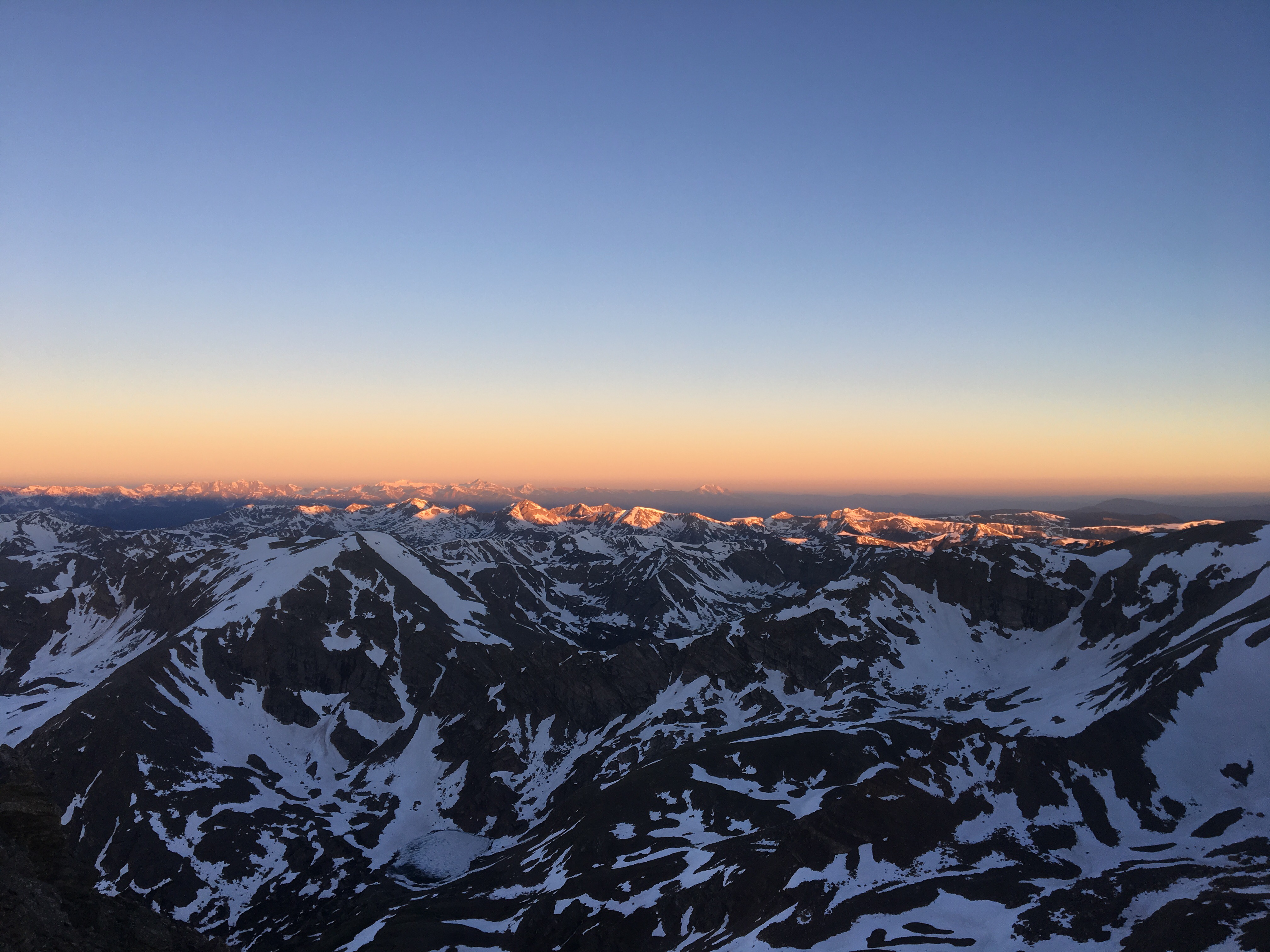

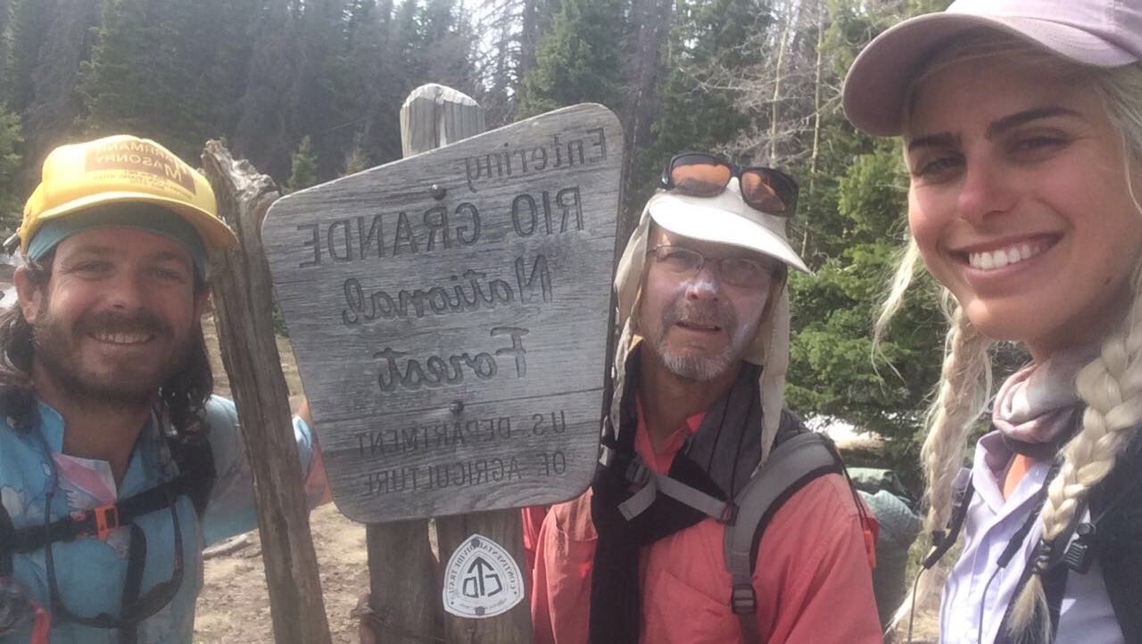
 Pretty solid crew to climb up Colorado’s 2 tallest peaks with
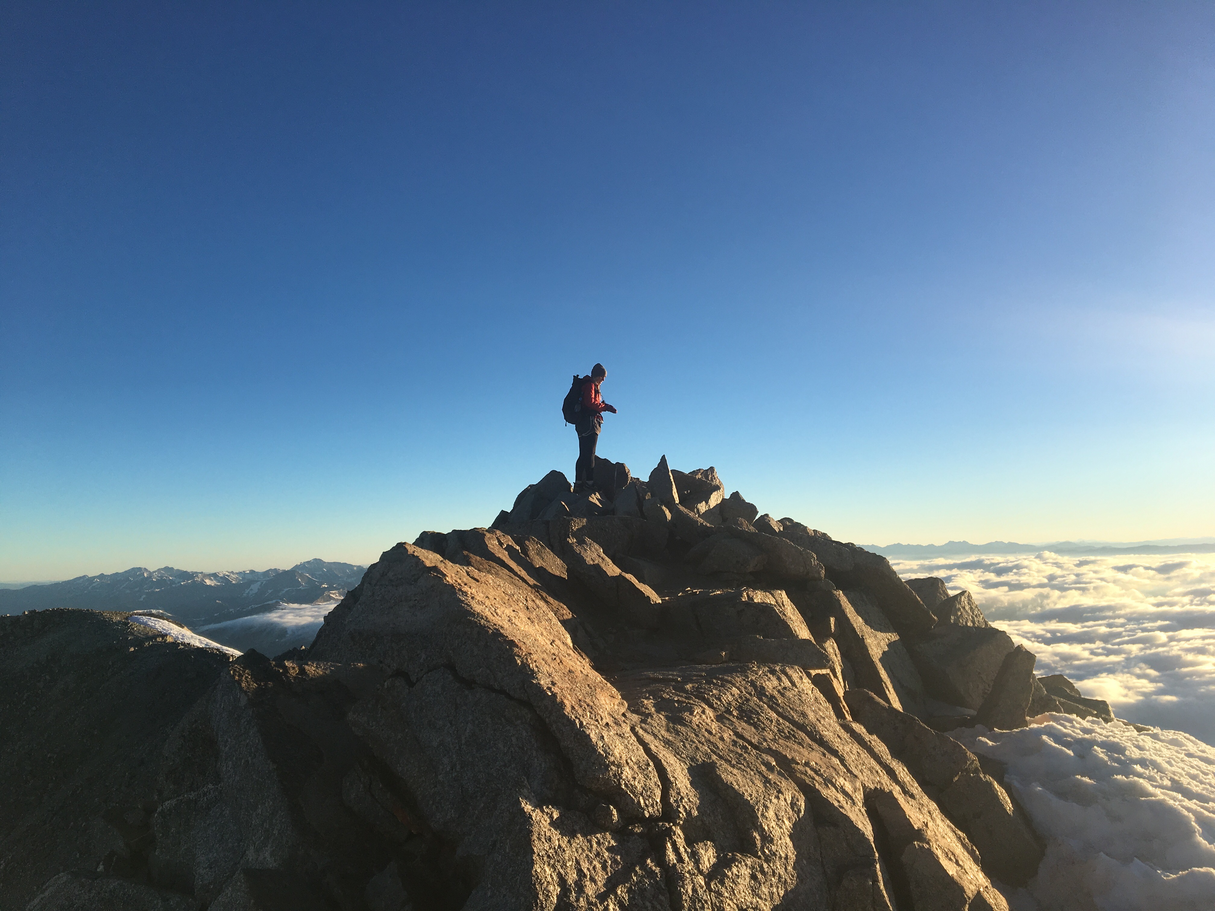
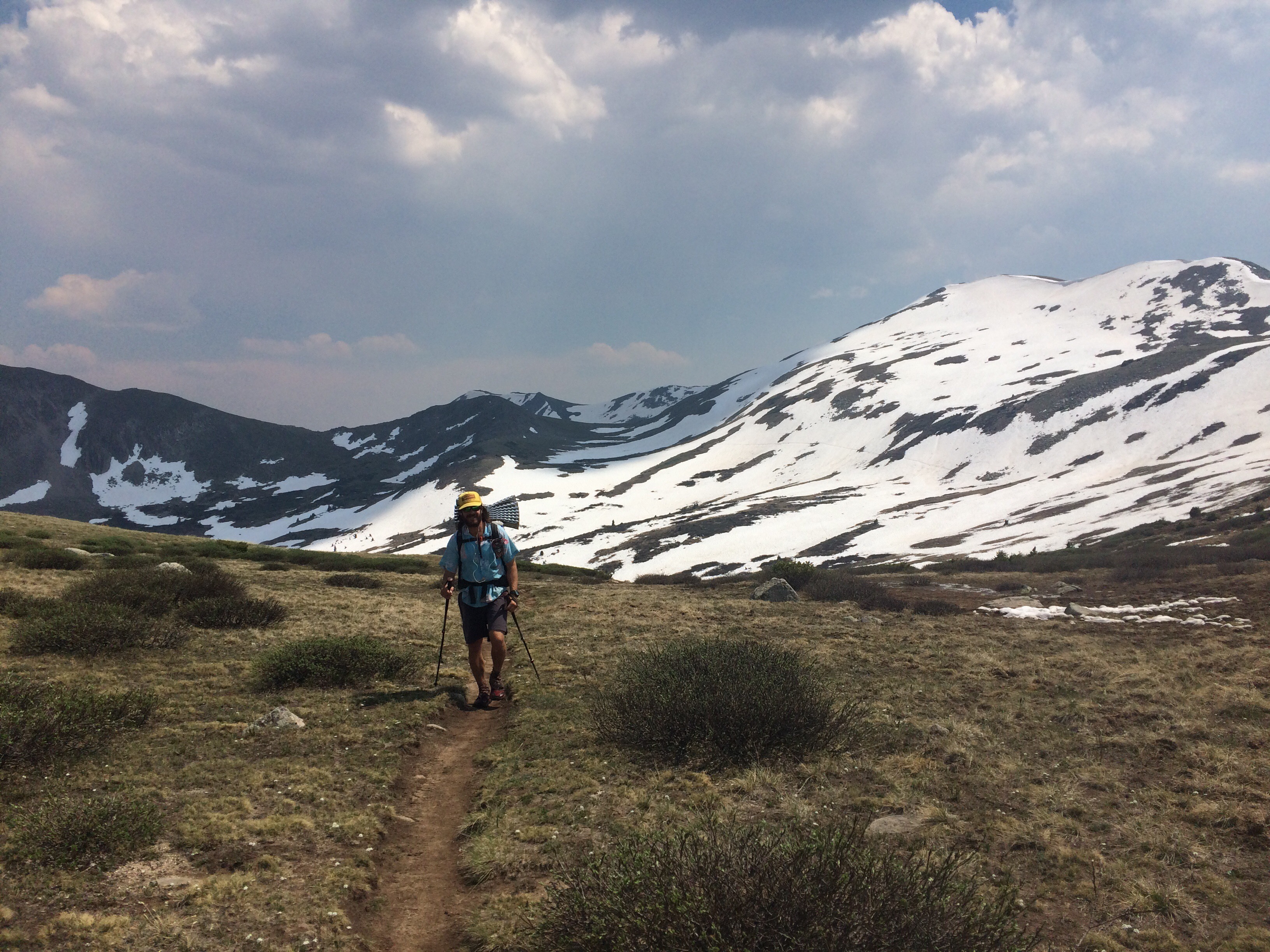
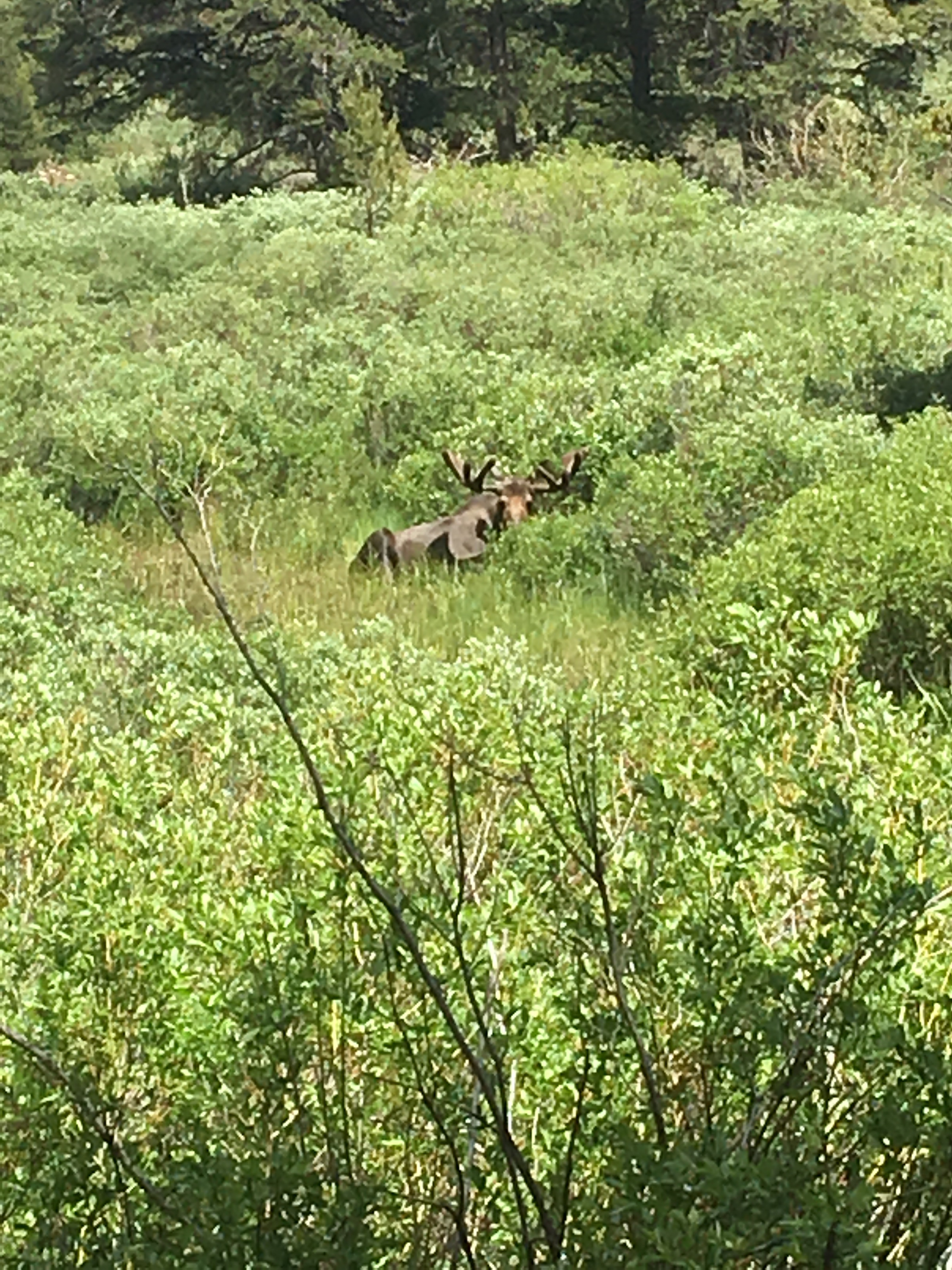
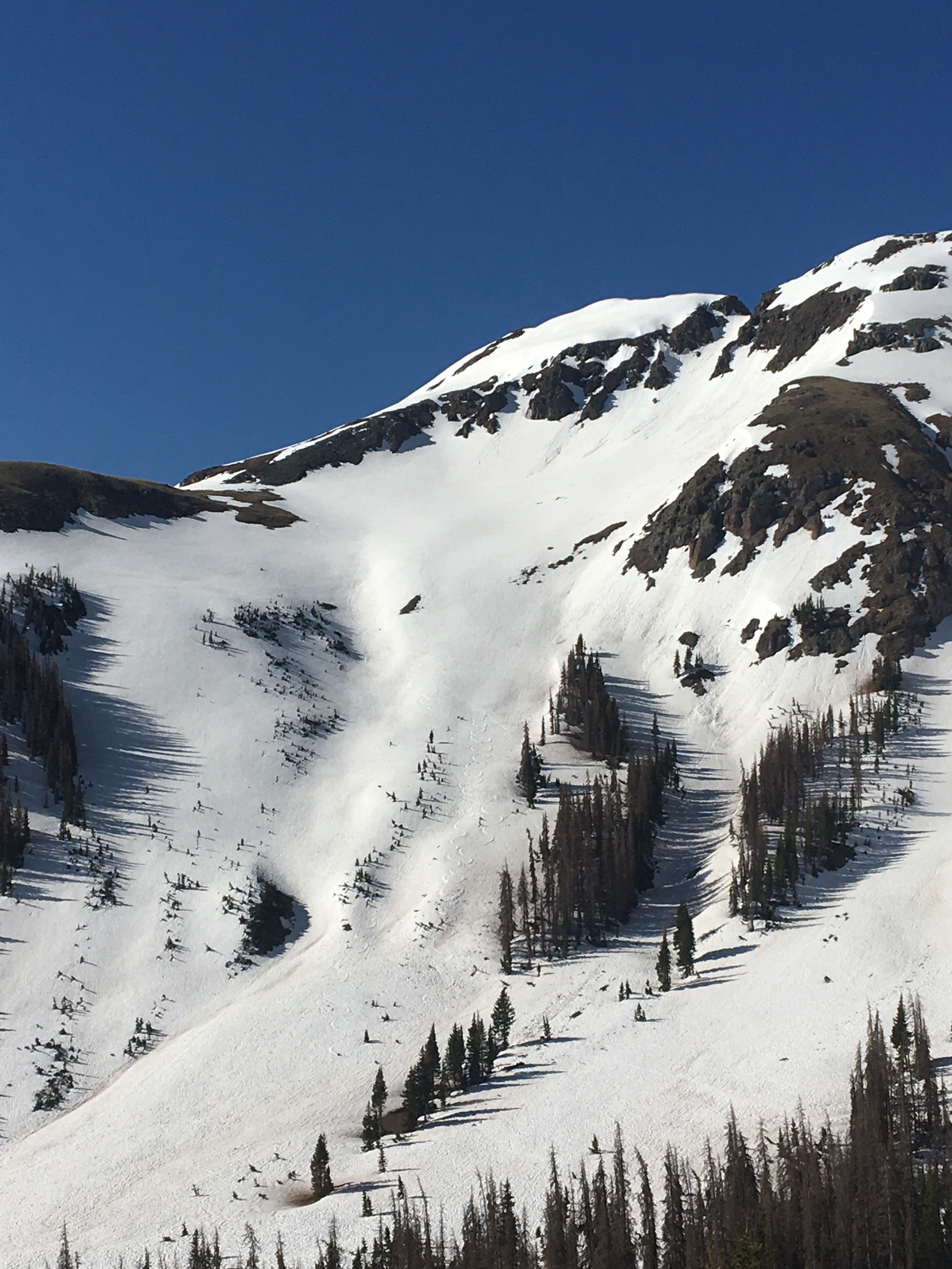
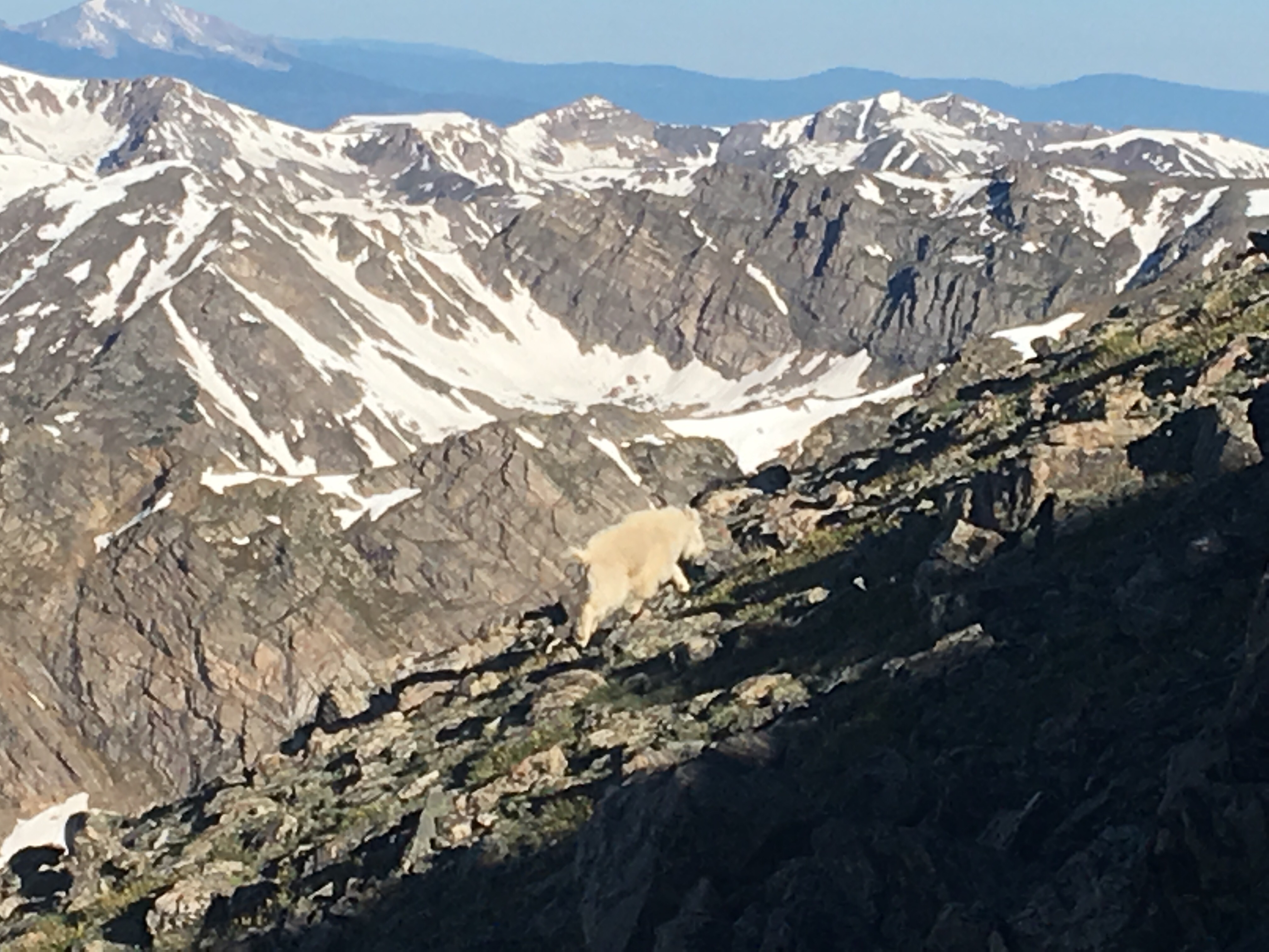 mountain beast
Day 59 6/27 31 miles
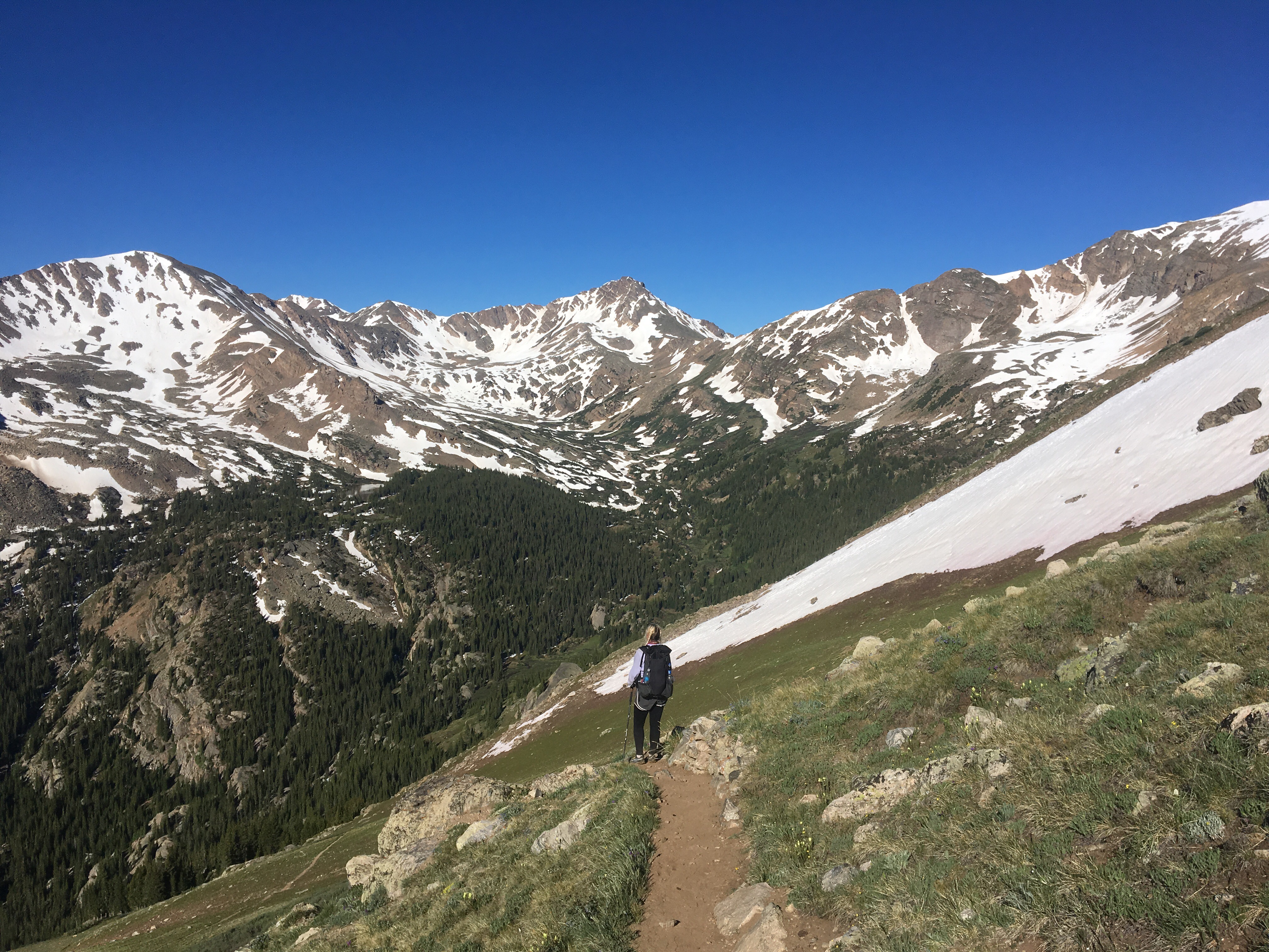
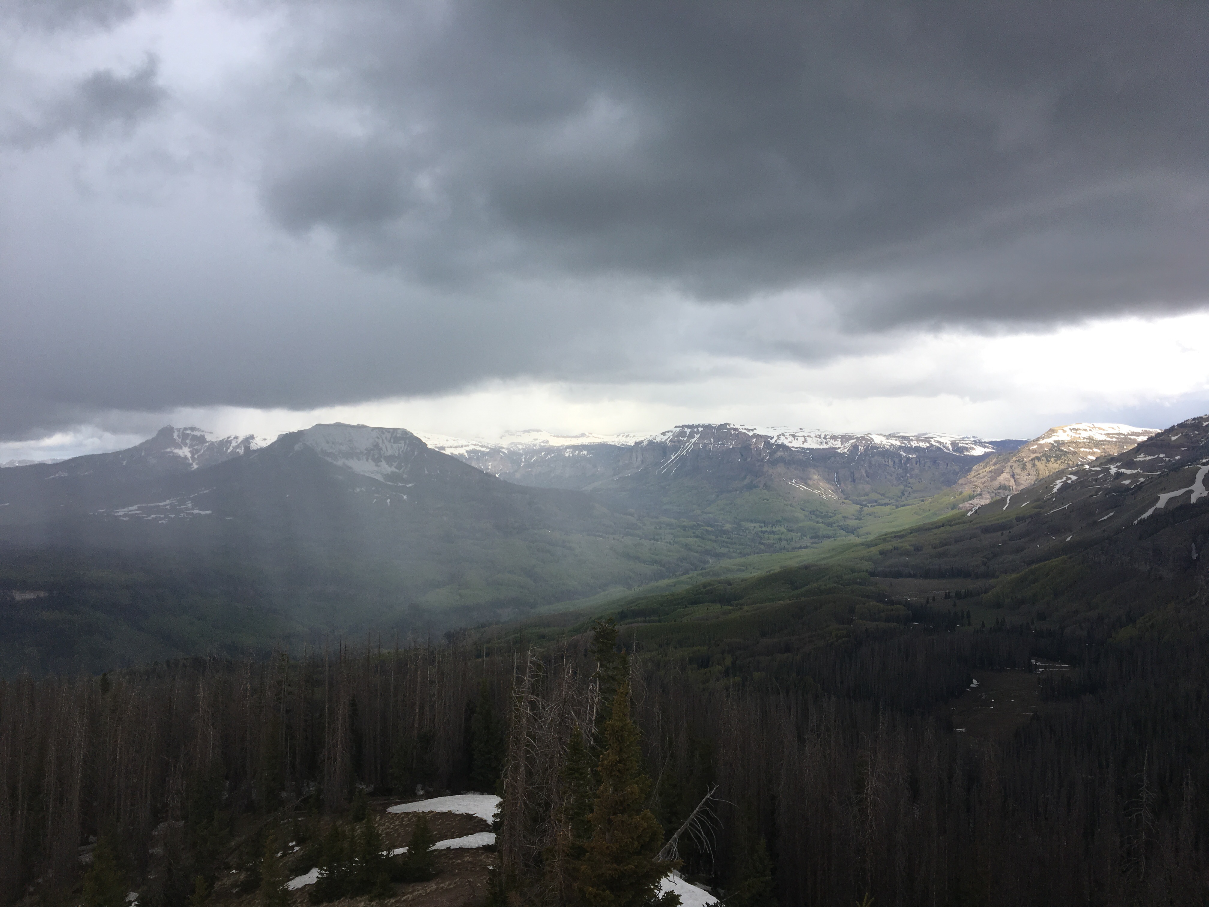
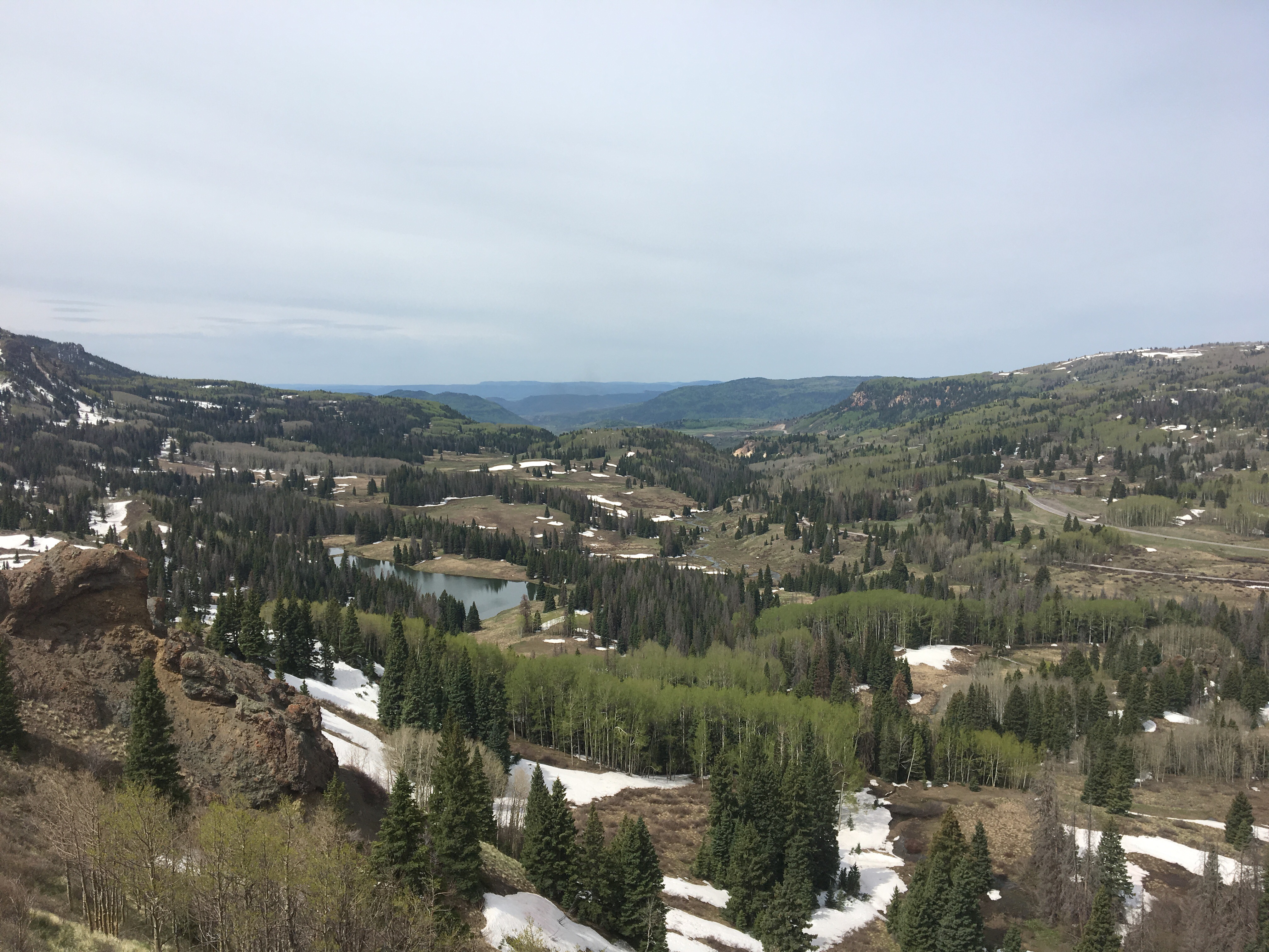
Today was rather productive. Nothing too spectacular happened but it just felt like a really solid day of hiking after a full night sleep. For most of the morning the trail cut through a forest with a few good climbs and drops. There was the rare trail magic at the Timberline trailhead parking lot and it was totally appreciated and unexpected. Somebody named Steve left a cooler full of ice cold cokes and gatorades and m&m’s and stuff. Thanks Steve! While we were sipping on these sodas we met Ryder who was camping nearby with her kids. She thru hiked the AT 25 years ago when she was 20 and is considering hiking a long trail again. I really enjoy talking with former thru hikers. They’re the real deal, I can’t imagine doing this without a smart phone. Shortly after lunch the trail passed an alpine lake and I couldn’t resist jumping in for a refreshing dip. The rest of the day the trail went up and down through forests but every once in awhile it opened up and there were huge mountainous views right before my eyes. It was a good day for crushing miles. In the evening we found a campsite beside a meadow with howling coyotes and called it a night.  Nothing beats the real thing!
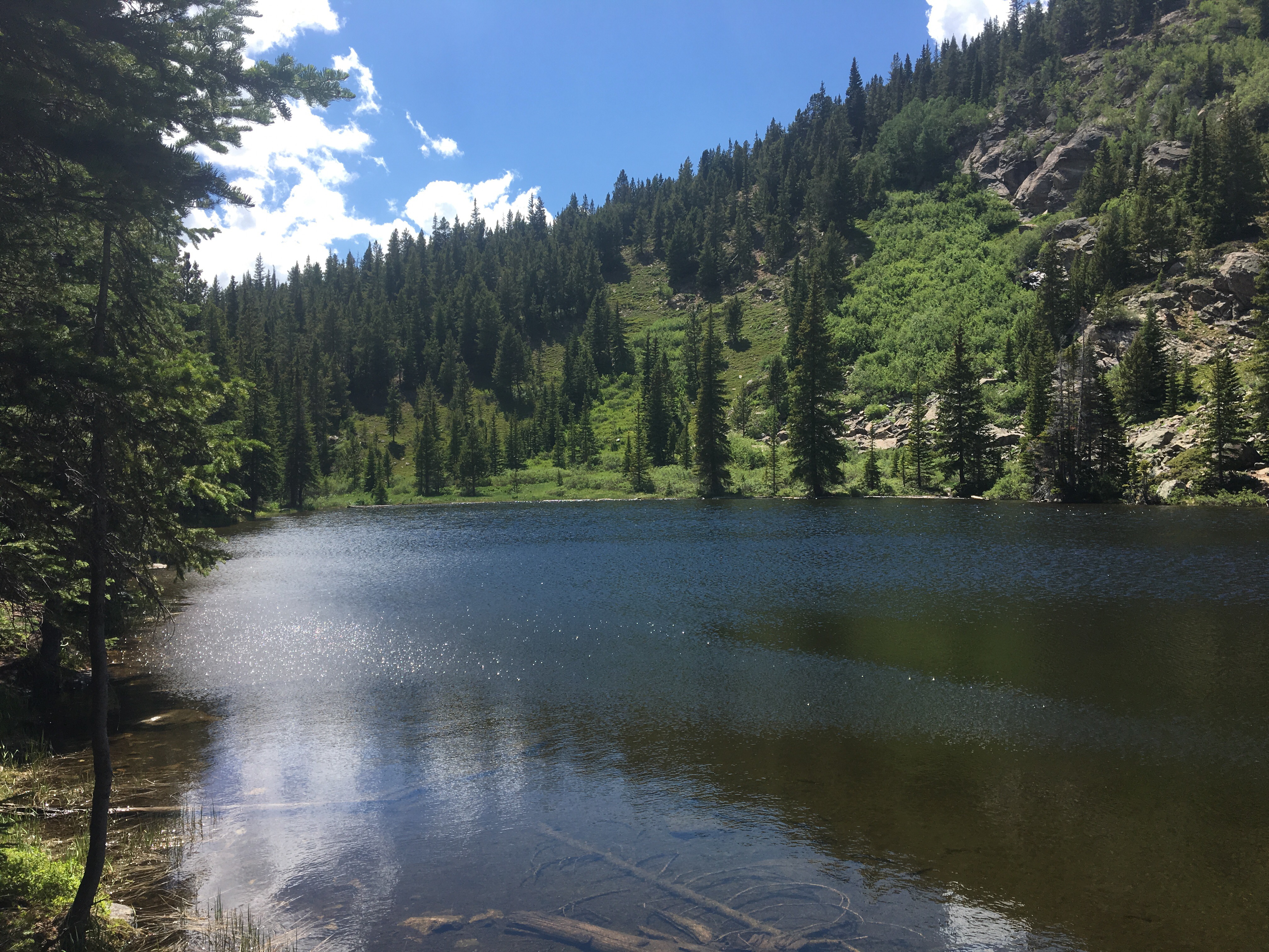 colder than it looks
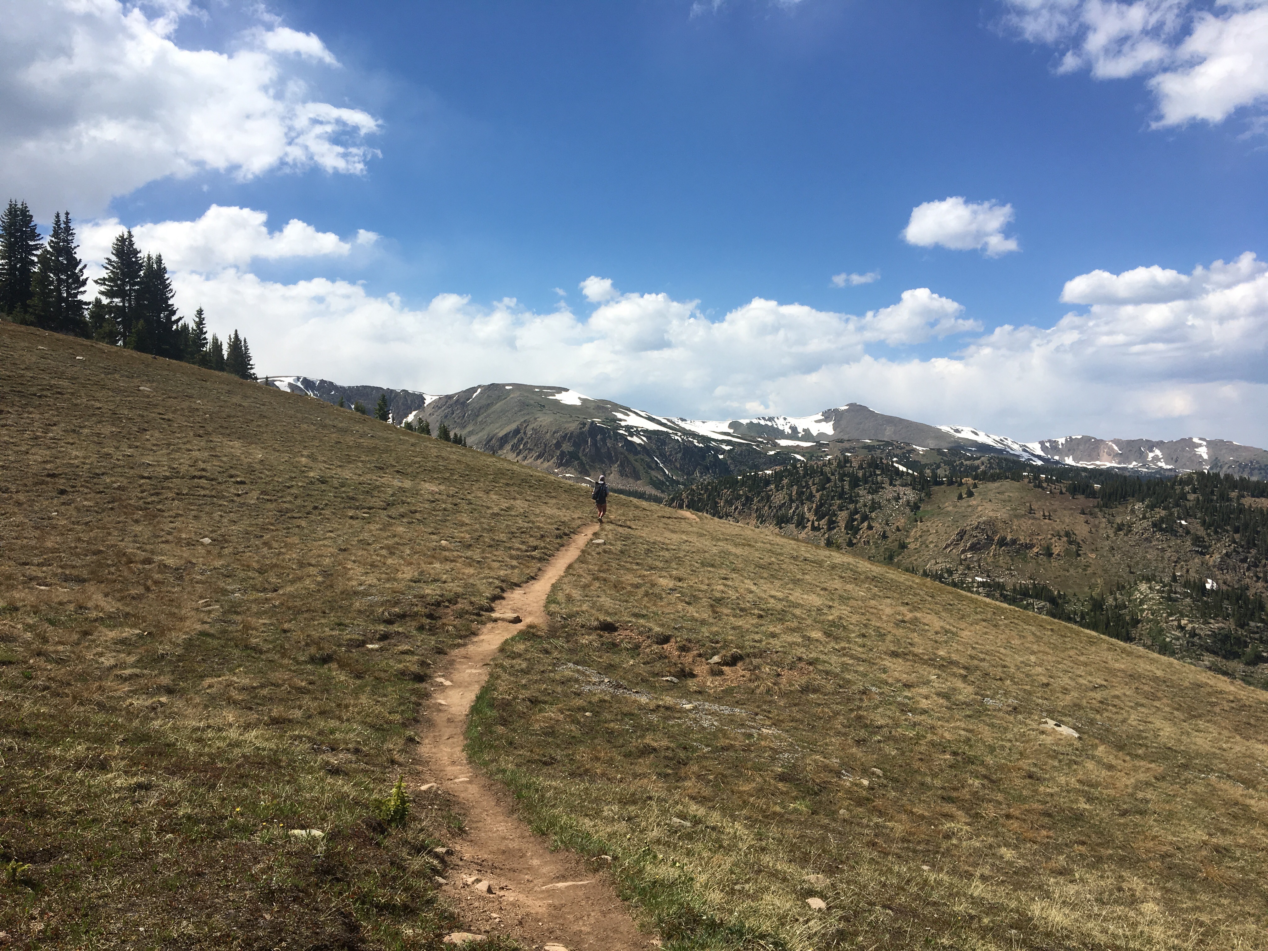
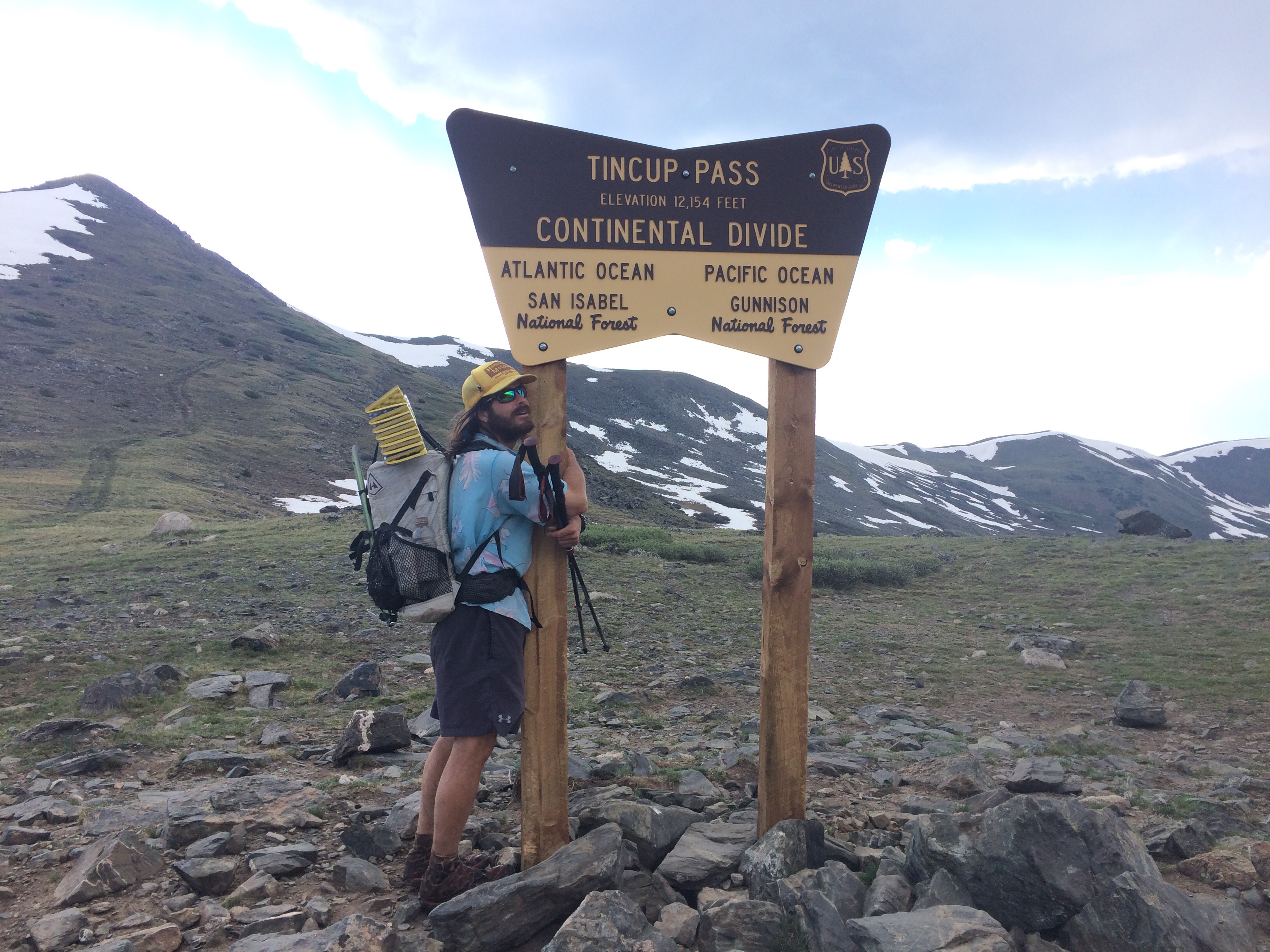
Day 60 6/28 29 miles
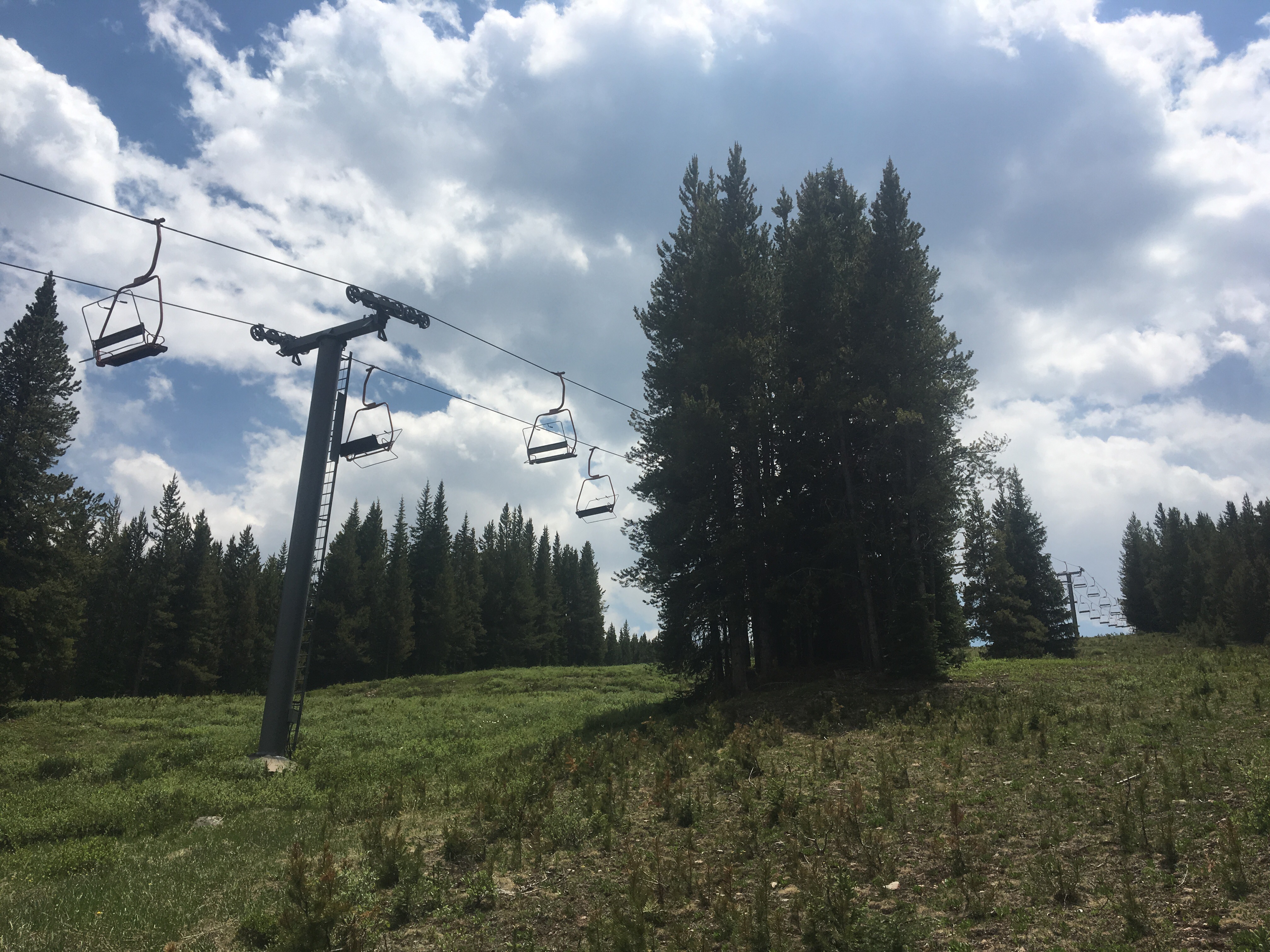
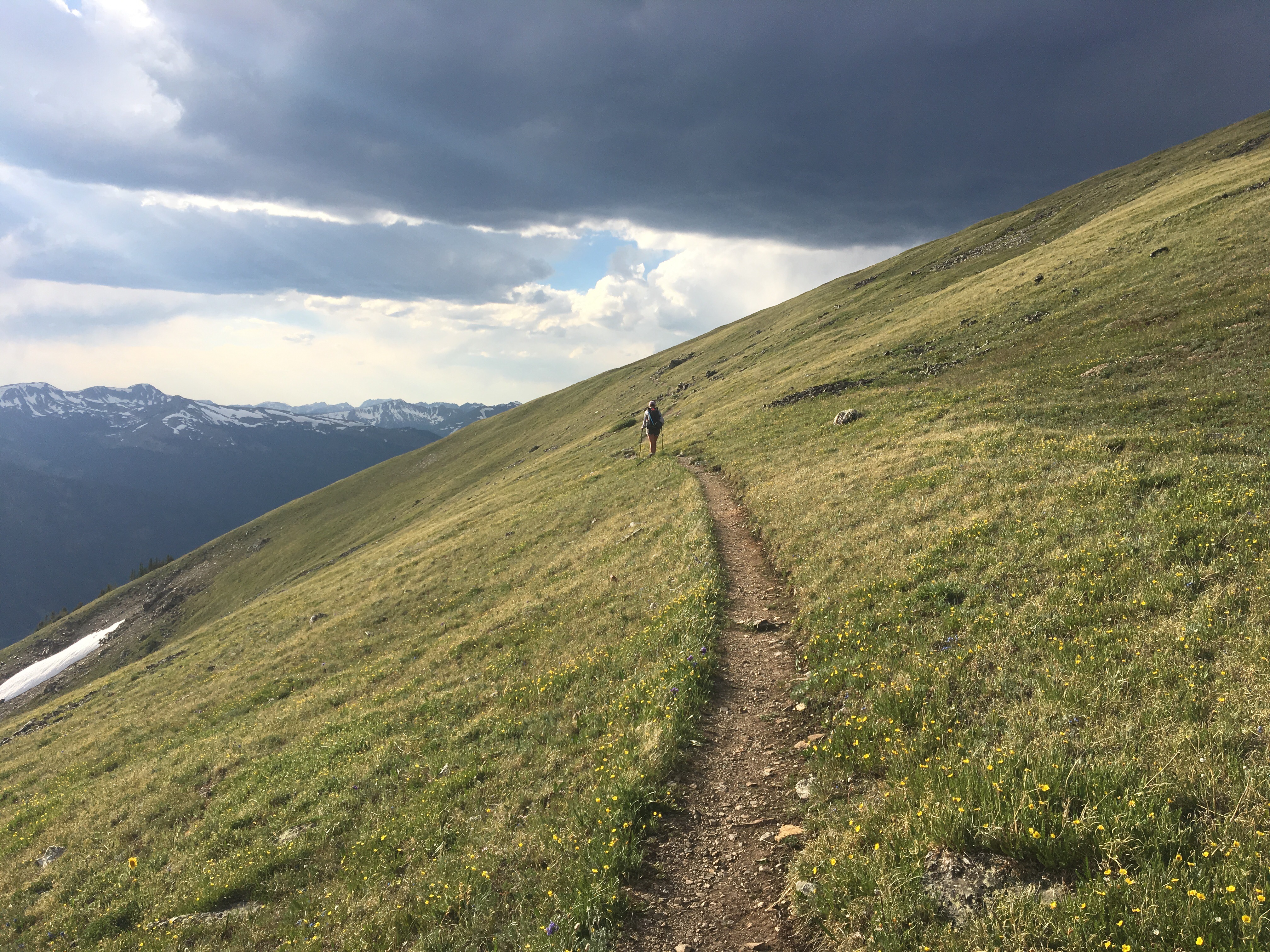
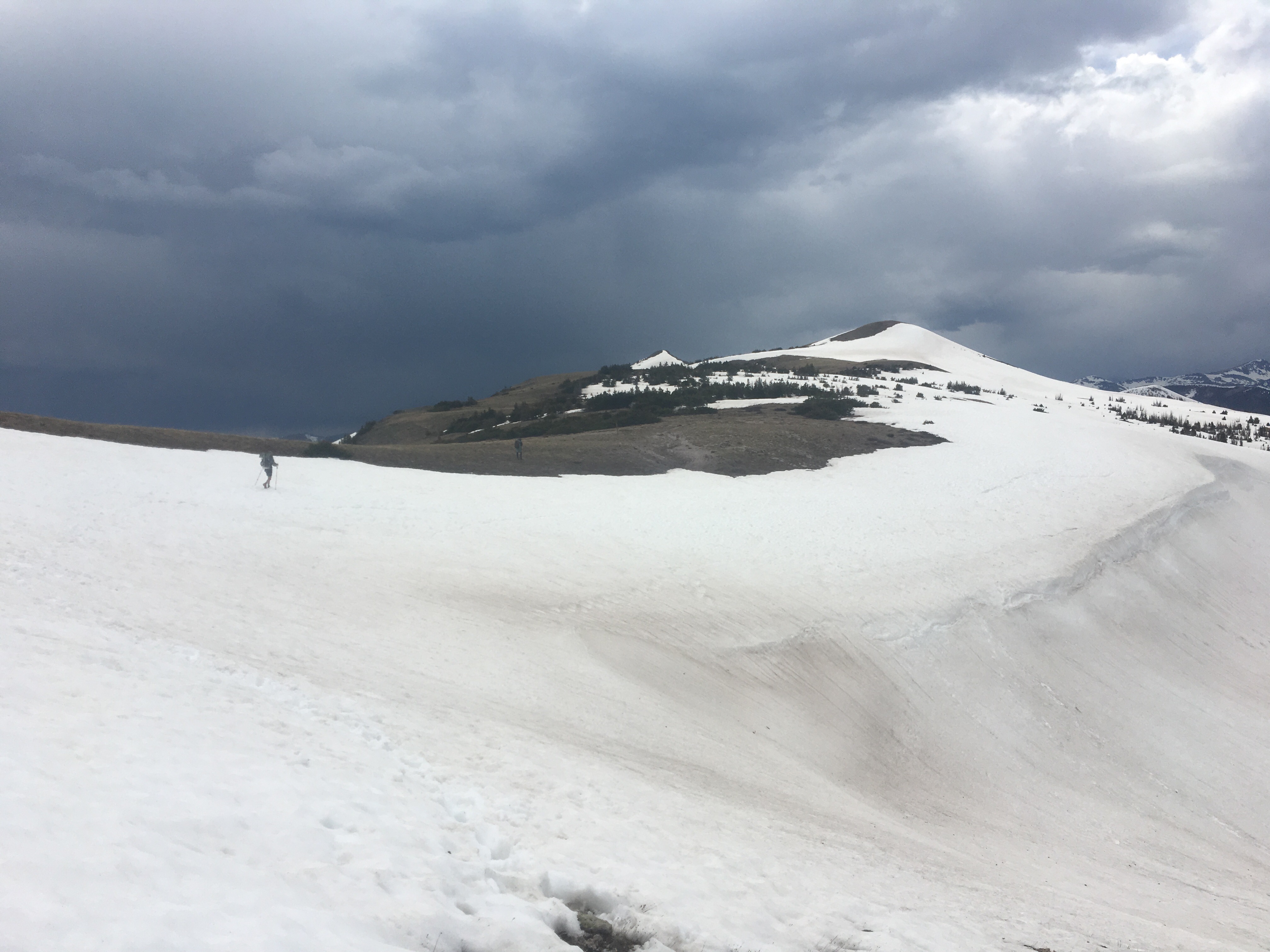
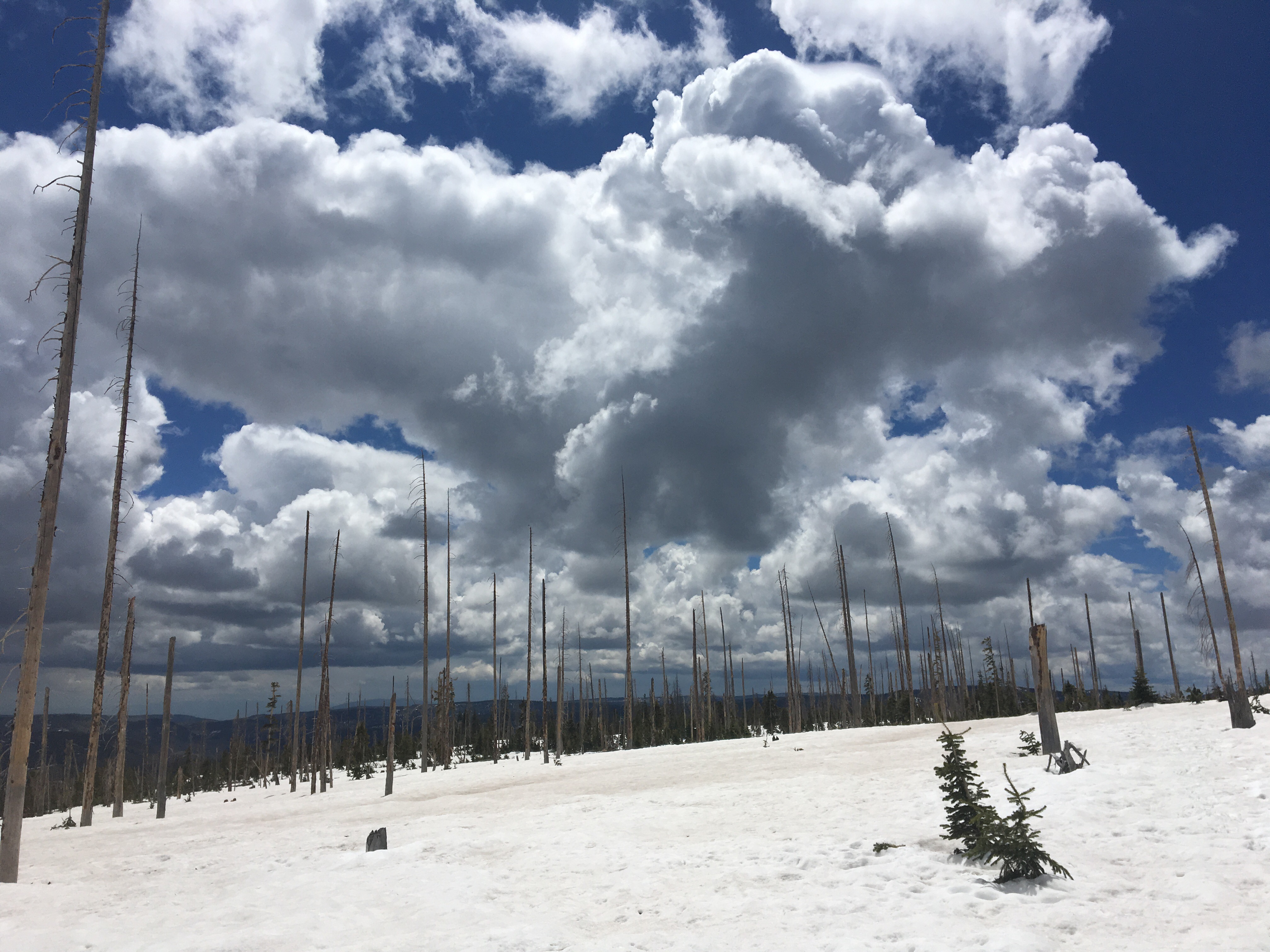
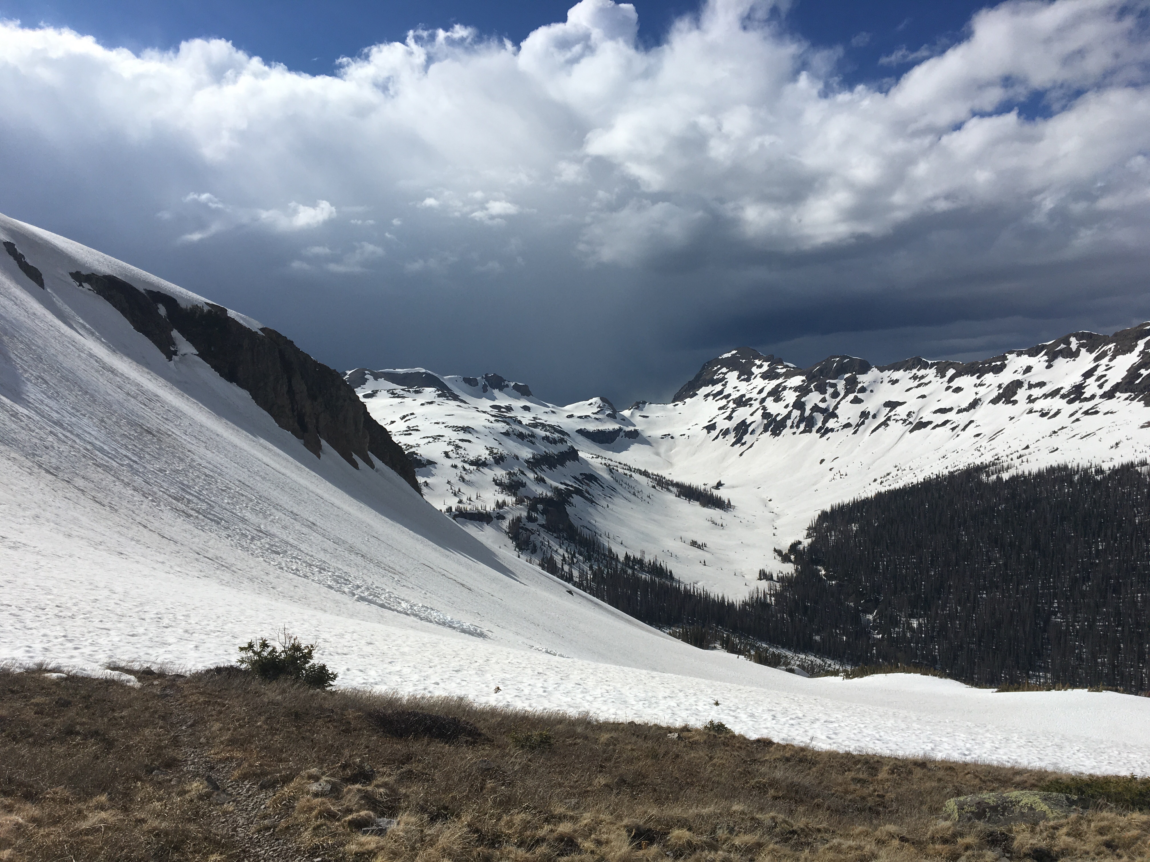
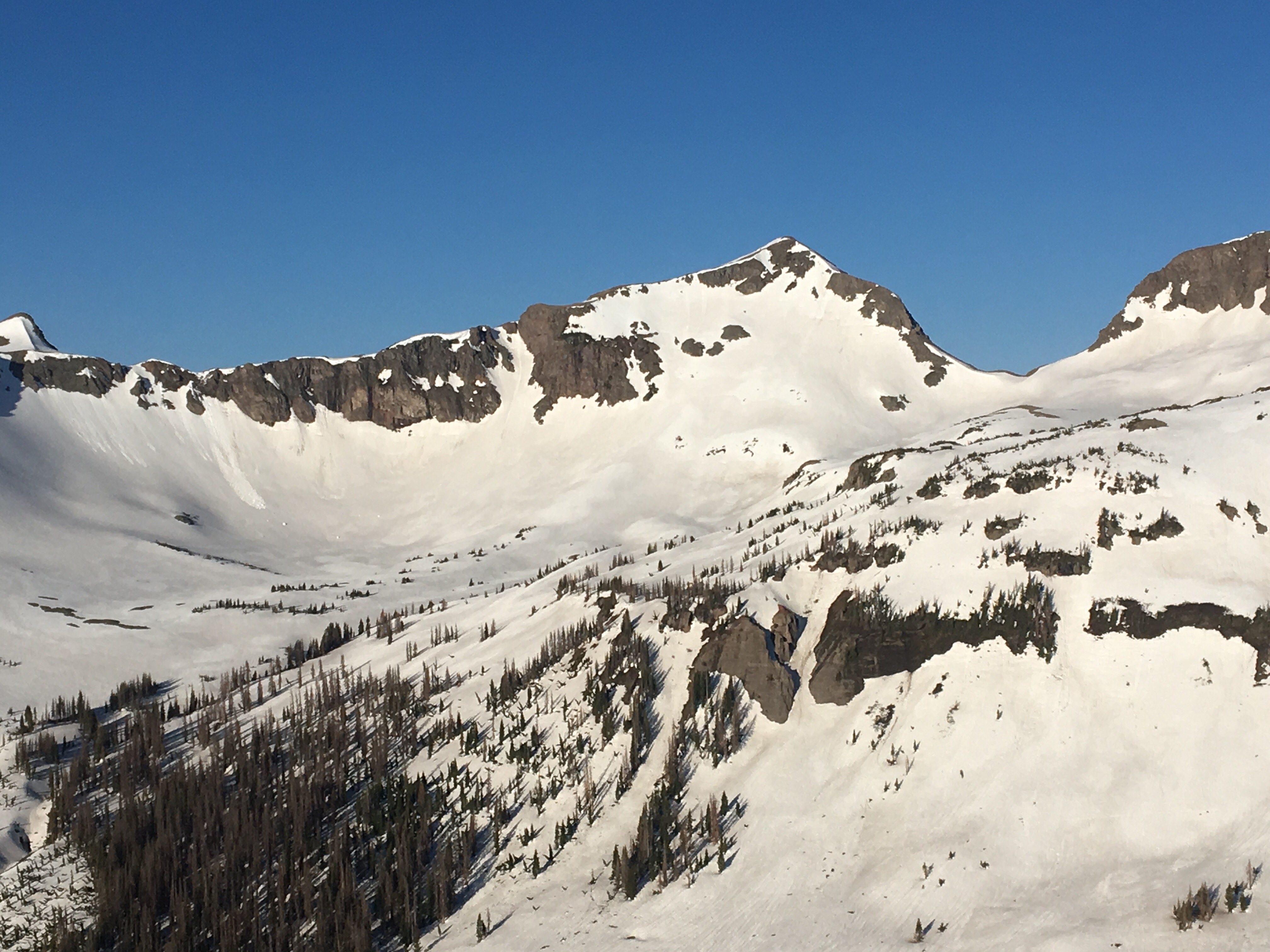
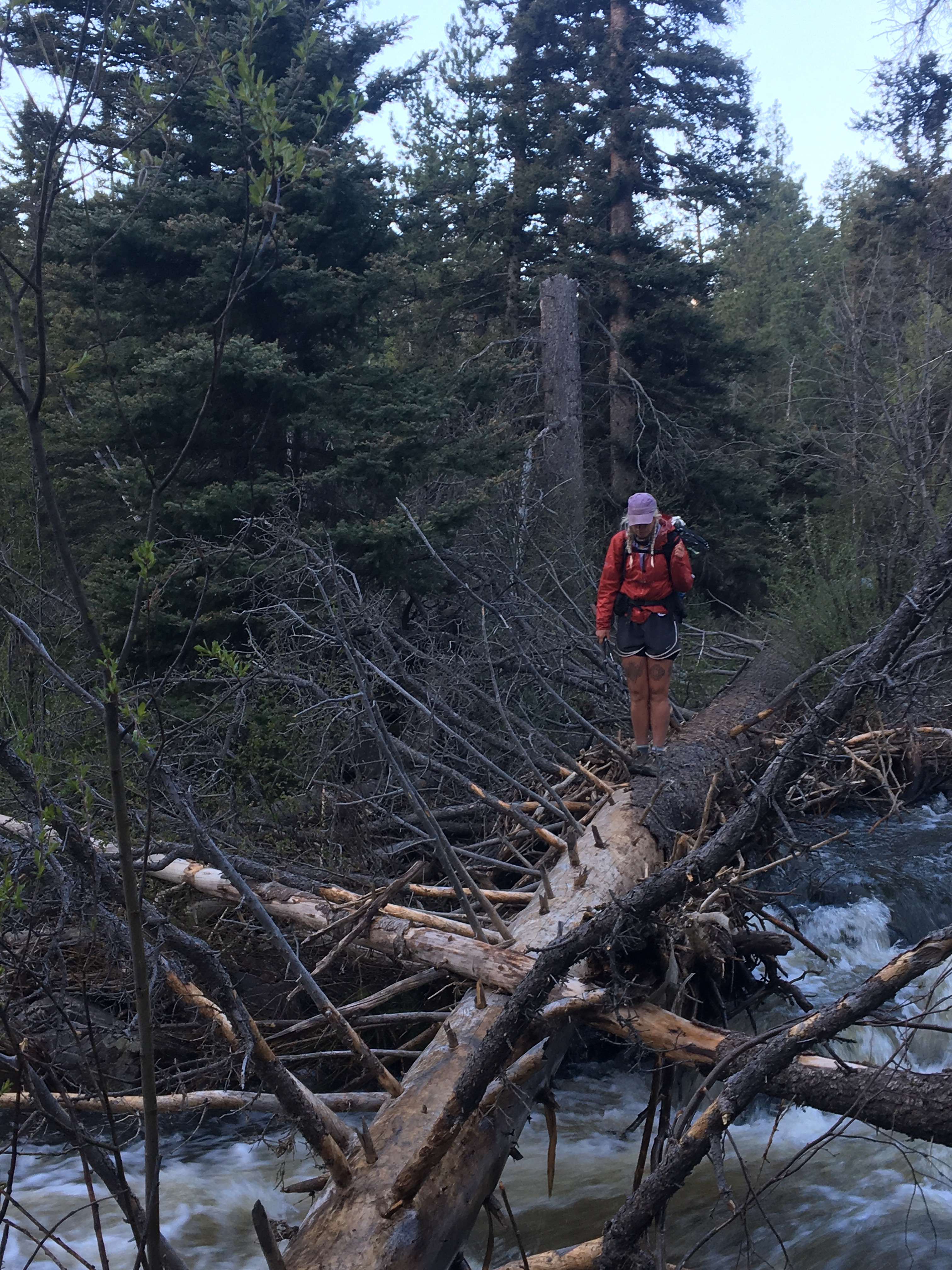
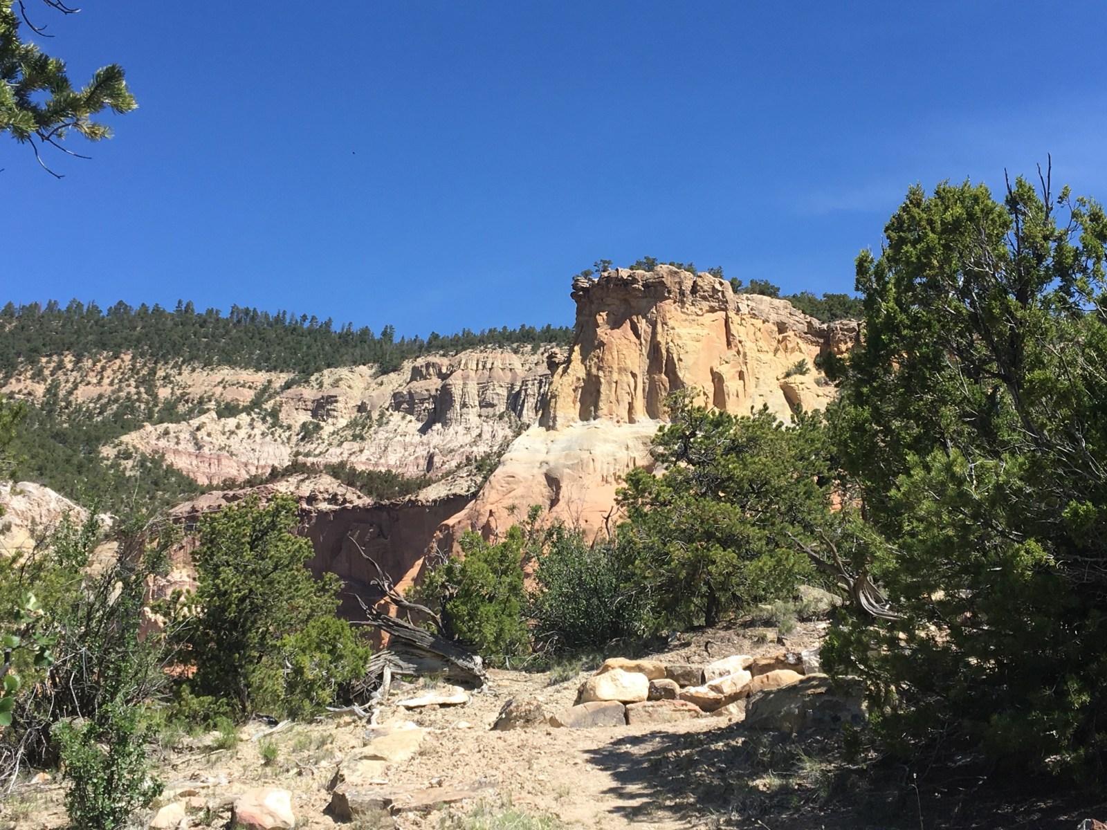
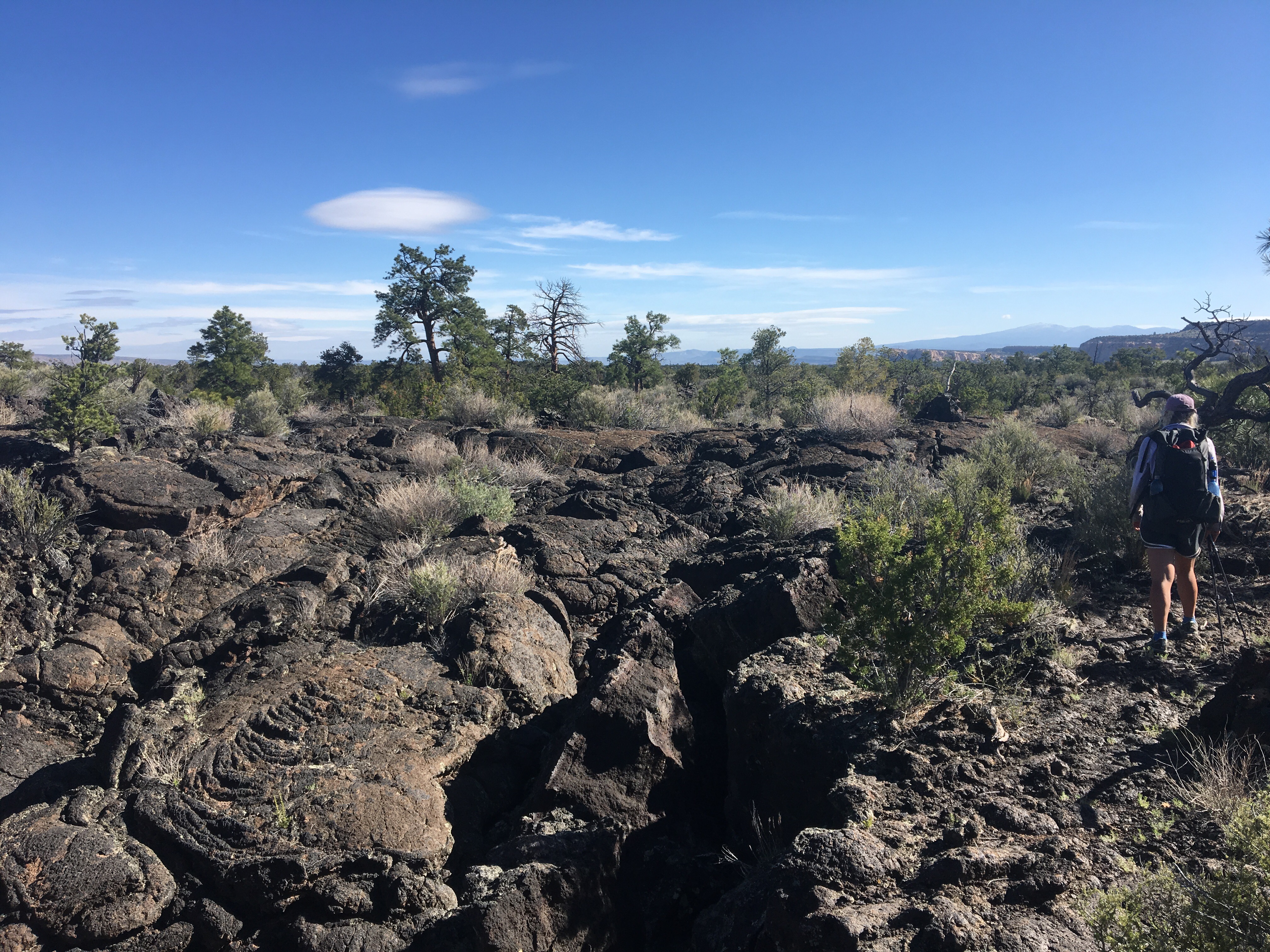
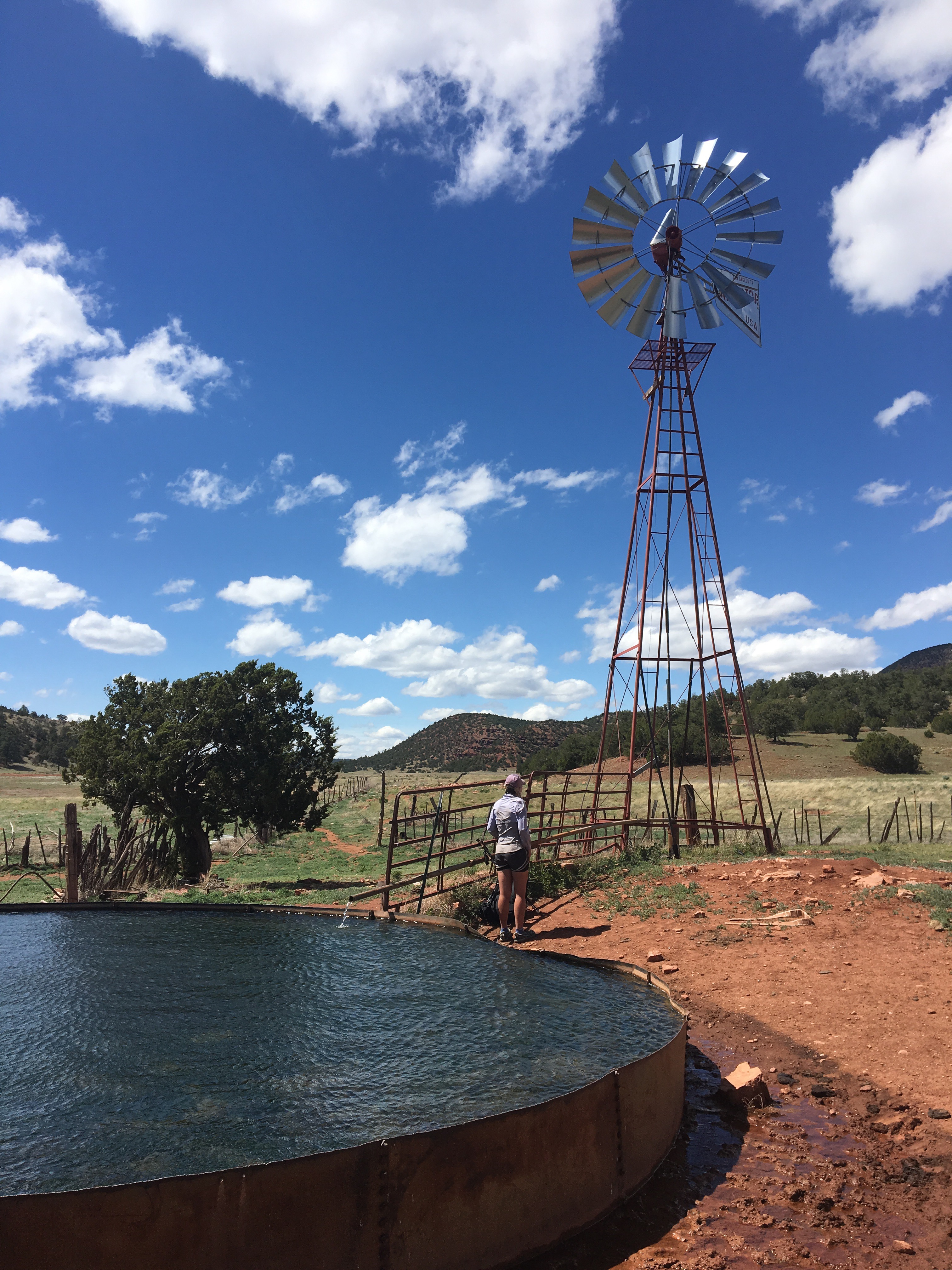
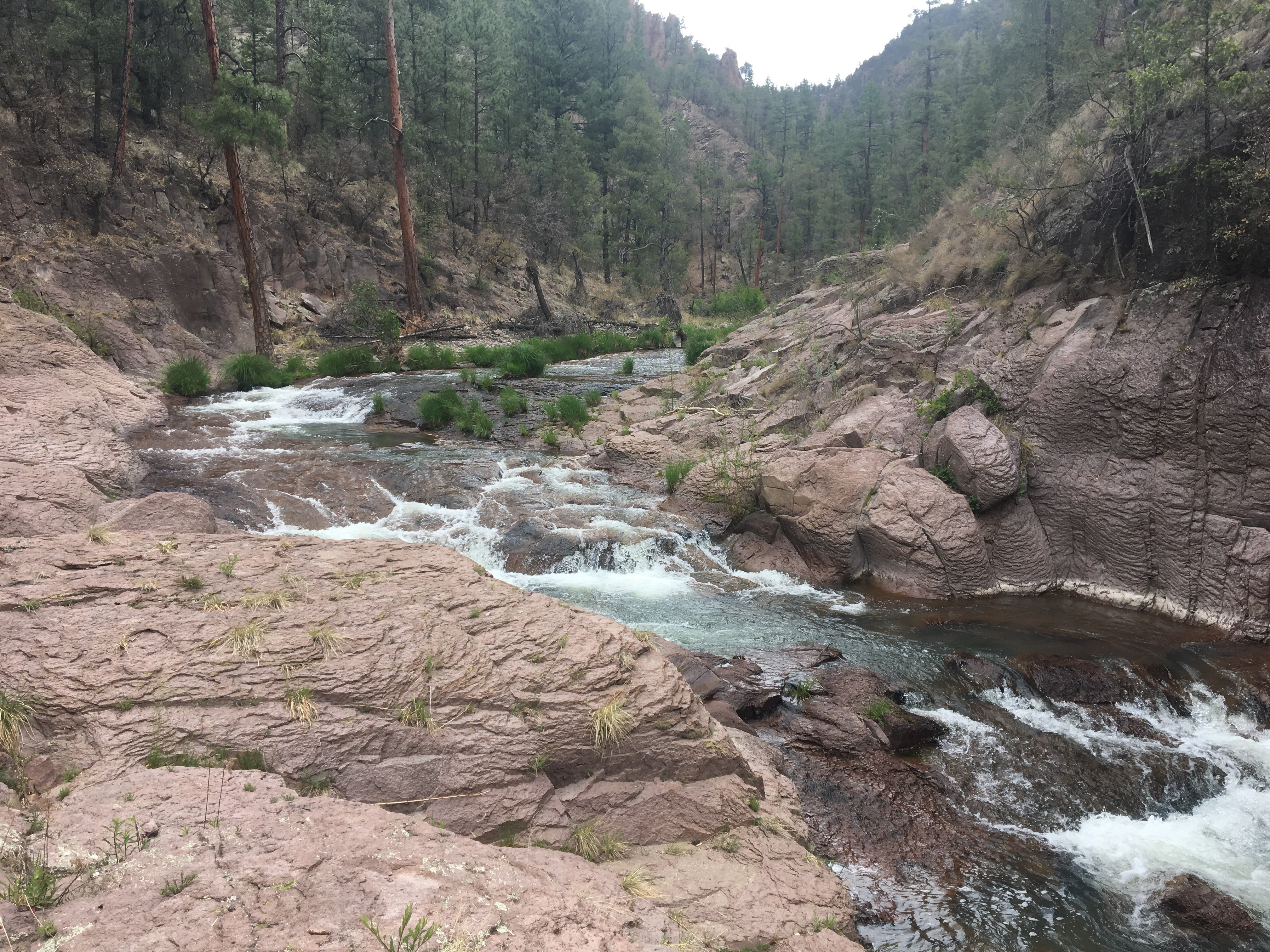
Once we got going this morning we proceeded to crush the trail all day. It was no picnic. Early on we passed the creepiest set of abandoned bunkers or cells or something with strange graffiti all over them, and then somebody came by and cleverly corrected the graffiti. Probably good shelter in a storm but I guarantee they’re haunted. I really wish I knew what they were used for, I could probably just google it. After the bunkers we passed this waterfall that I showered in last year but the flow rate was a little heavy today. We then blasted up the beefy Kokomo Pass, followed a ridge over to Searle Pass and dropped down to Copper Mountain Resort where we grabbed some cheeseburgers for a late lunch. I skied here in January and it was cool to walk across the ski trails and under the lifts. The waiter said we must be pretty hungry since we looked like we’d been living in the woods for a week. Thanks buddy! More like 2 months so I guess that’s a compliment. After lunch we had another heavy duty climb as we walked for miles up to the top of 10 Mile Range. We dropped over the top of the range, where Breckinridge Ski area is, and walked a few snowy and scenic miles before finding a place to camp. 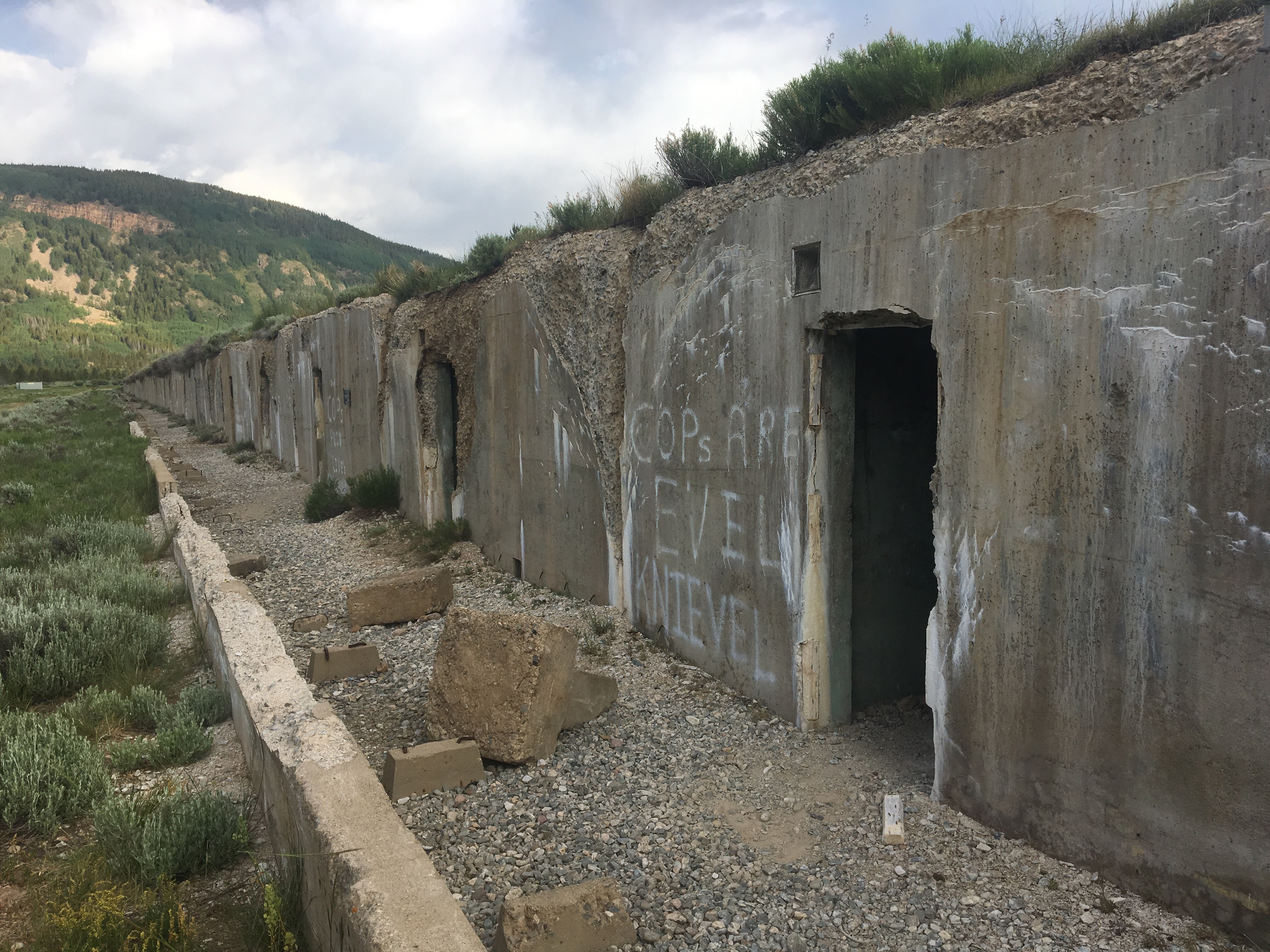 Cops are Evel Knievel?
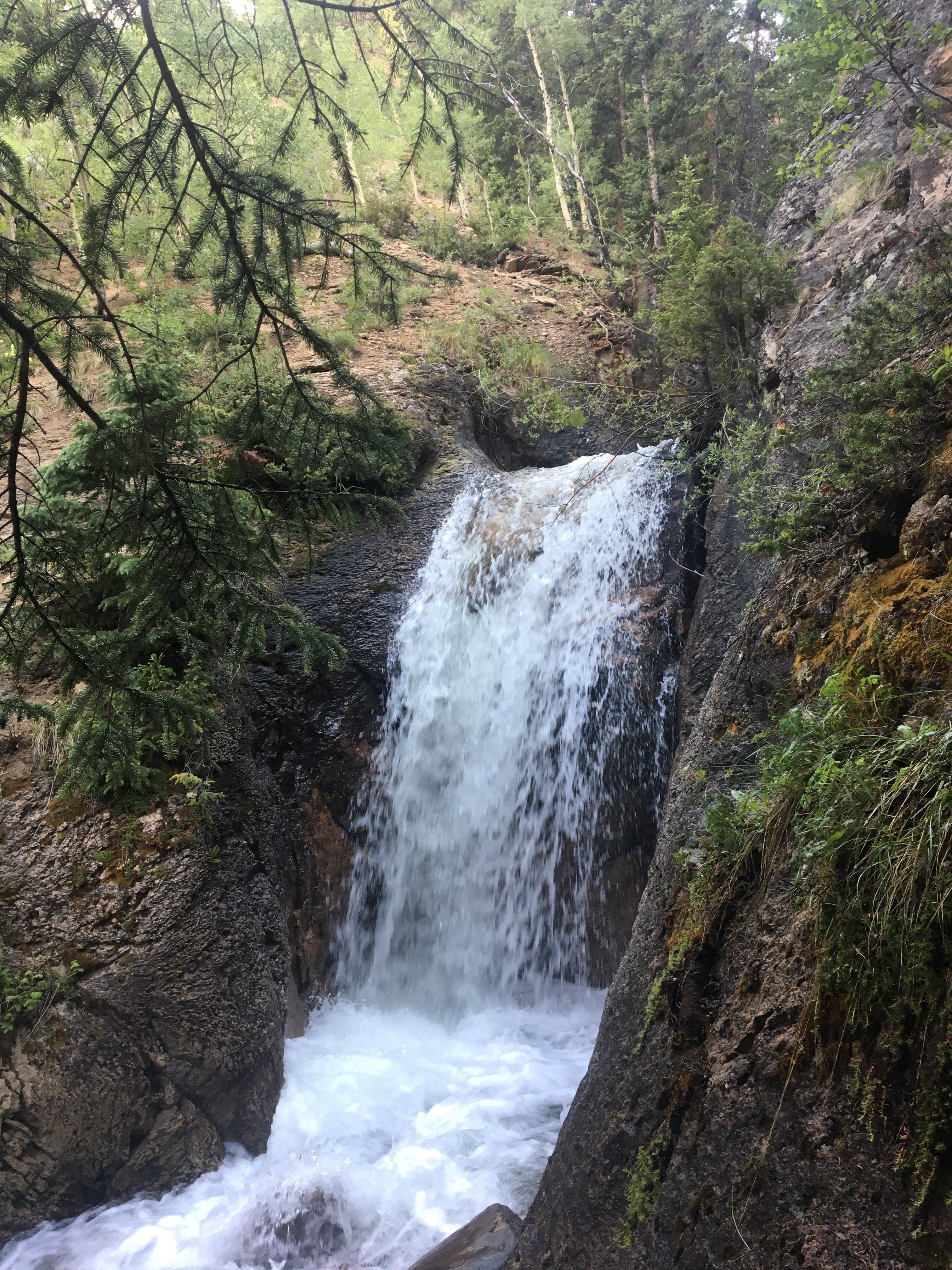 showered here last year
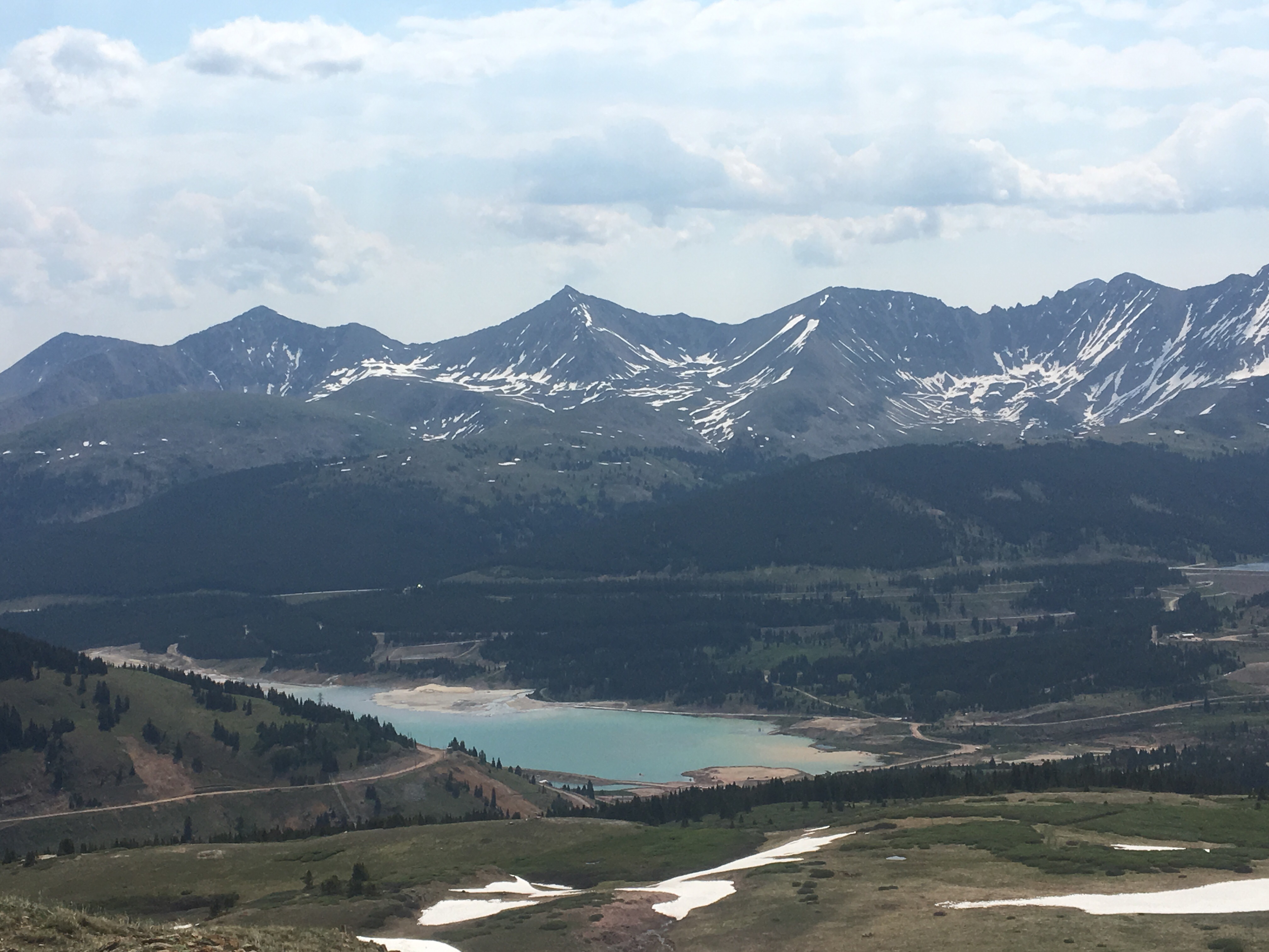

Day 61 6/29 6 miles so far
I’m sitting in front of the supermarket in Breckinridge right now figuring out my resupply for the next few days and hoping to get back on trail in a few hours. Today has gone pretty well so far. We walked a nice easy 6 miles and caught the free bus into town. We met Drew at the bus stop, a boatbuilder and carpenter, who moved out here to climb mountains and snowboard down them. He offered to let us take showers at his house and that sounded pretty good after 5 or 6 days without one. Crushed breakfast after the shower and now taking care of some errands while in town. I’ll fill you in on the rest of the day in my next post. Feel free to follow me on Insta for more pictures and maybe even a video @endlesspsummer
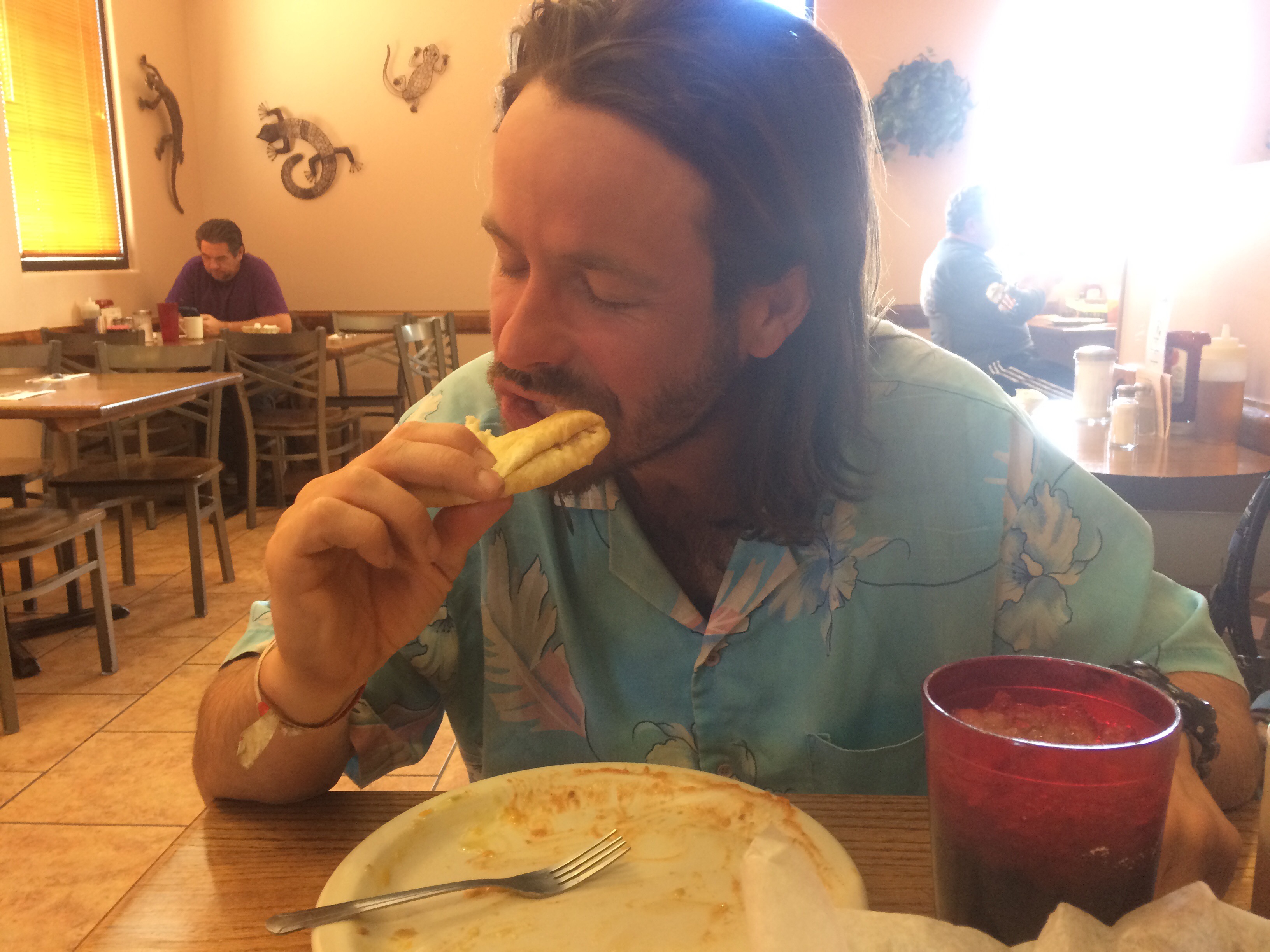
This lady just looked at me and then I overheard her say to her man, “This place has a lot of homeless.”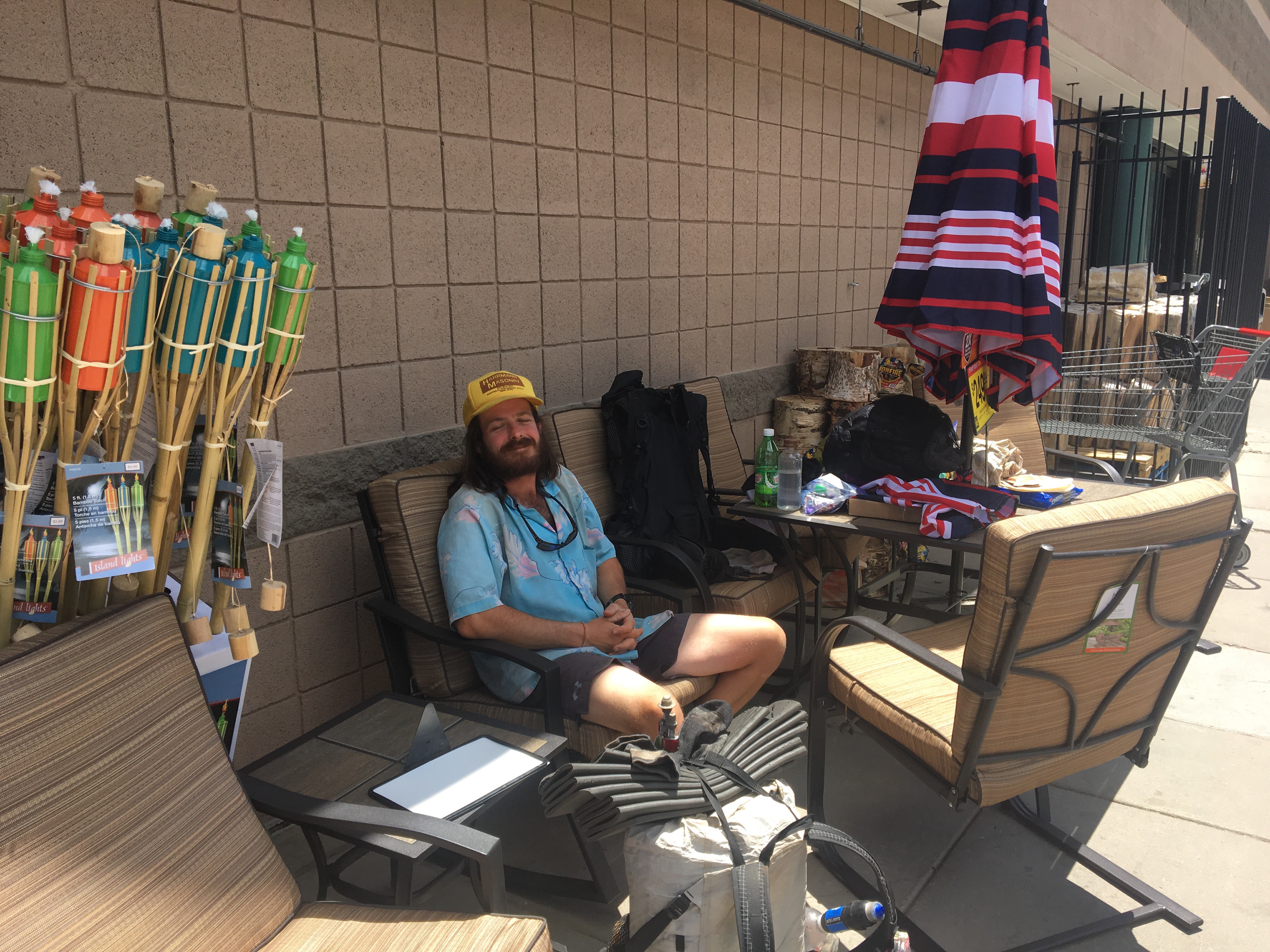
-Endless
PS All My Love!!!


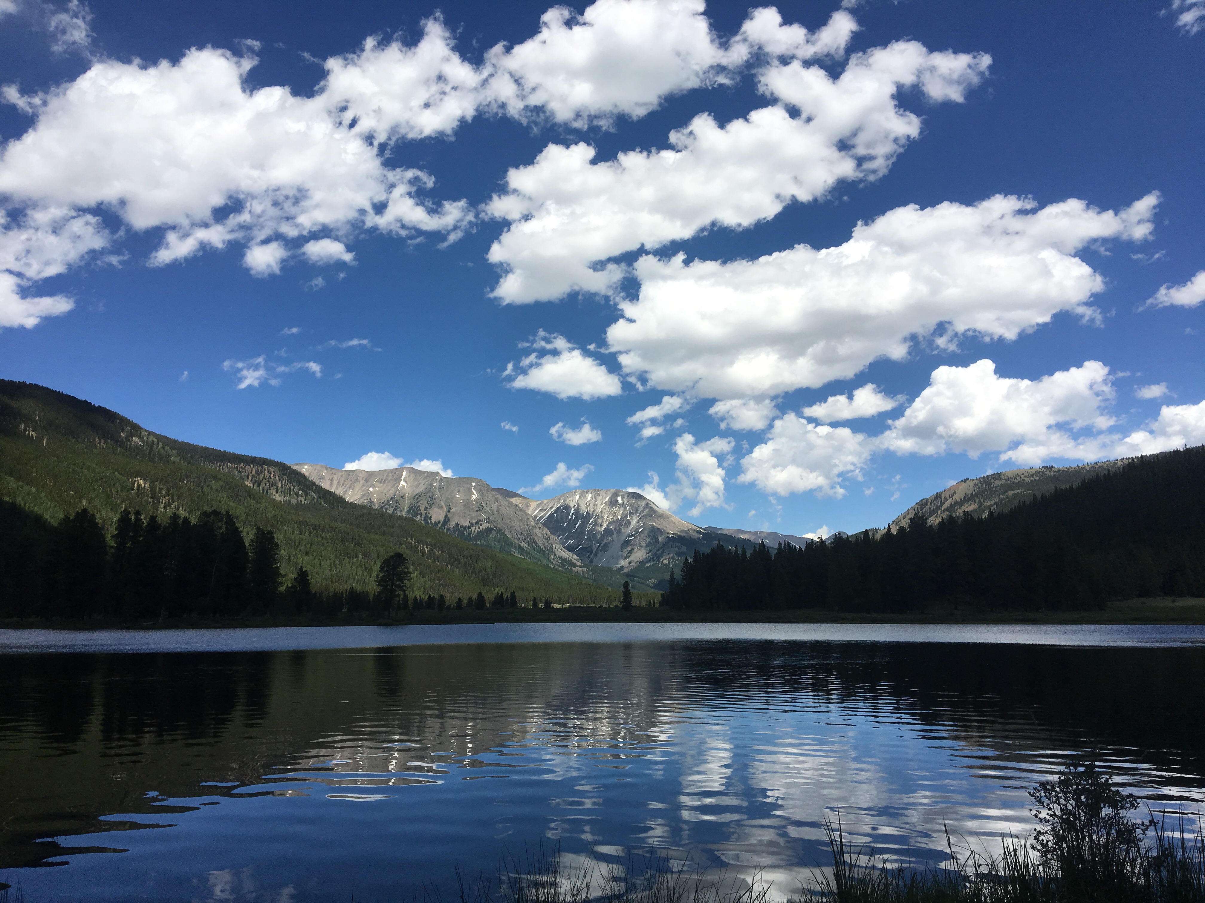
 Salida, CO


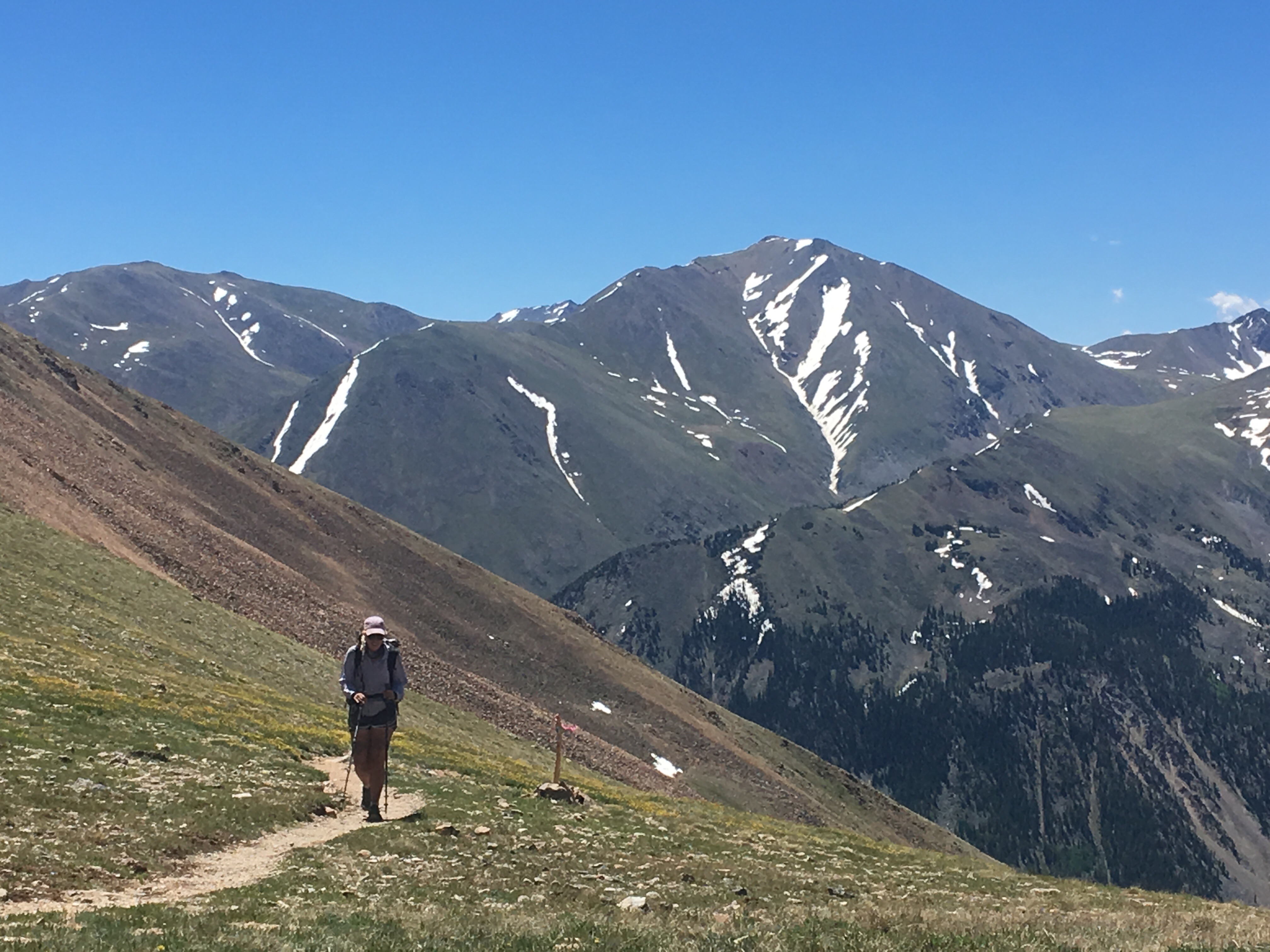

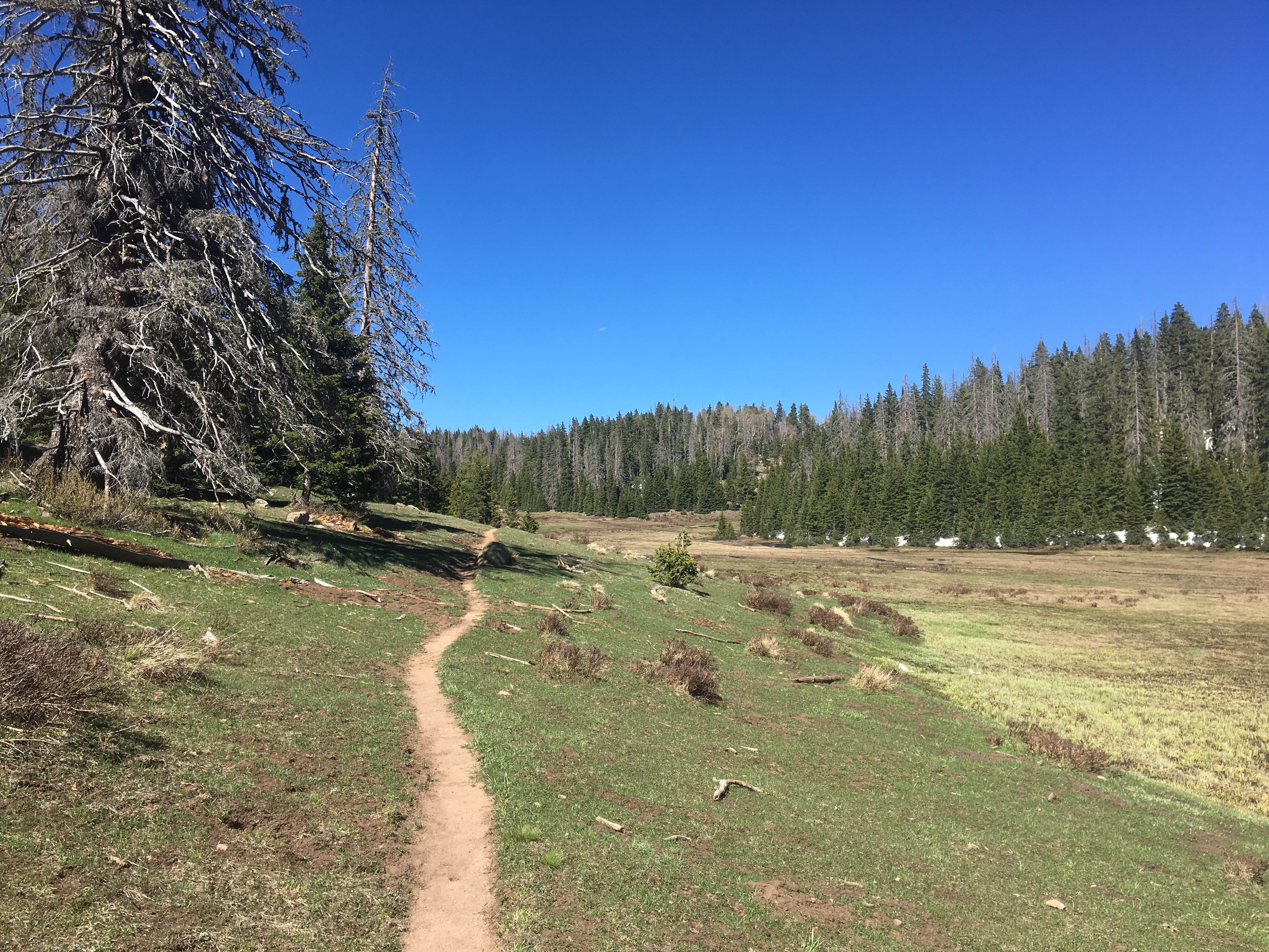
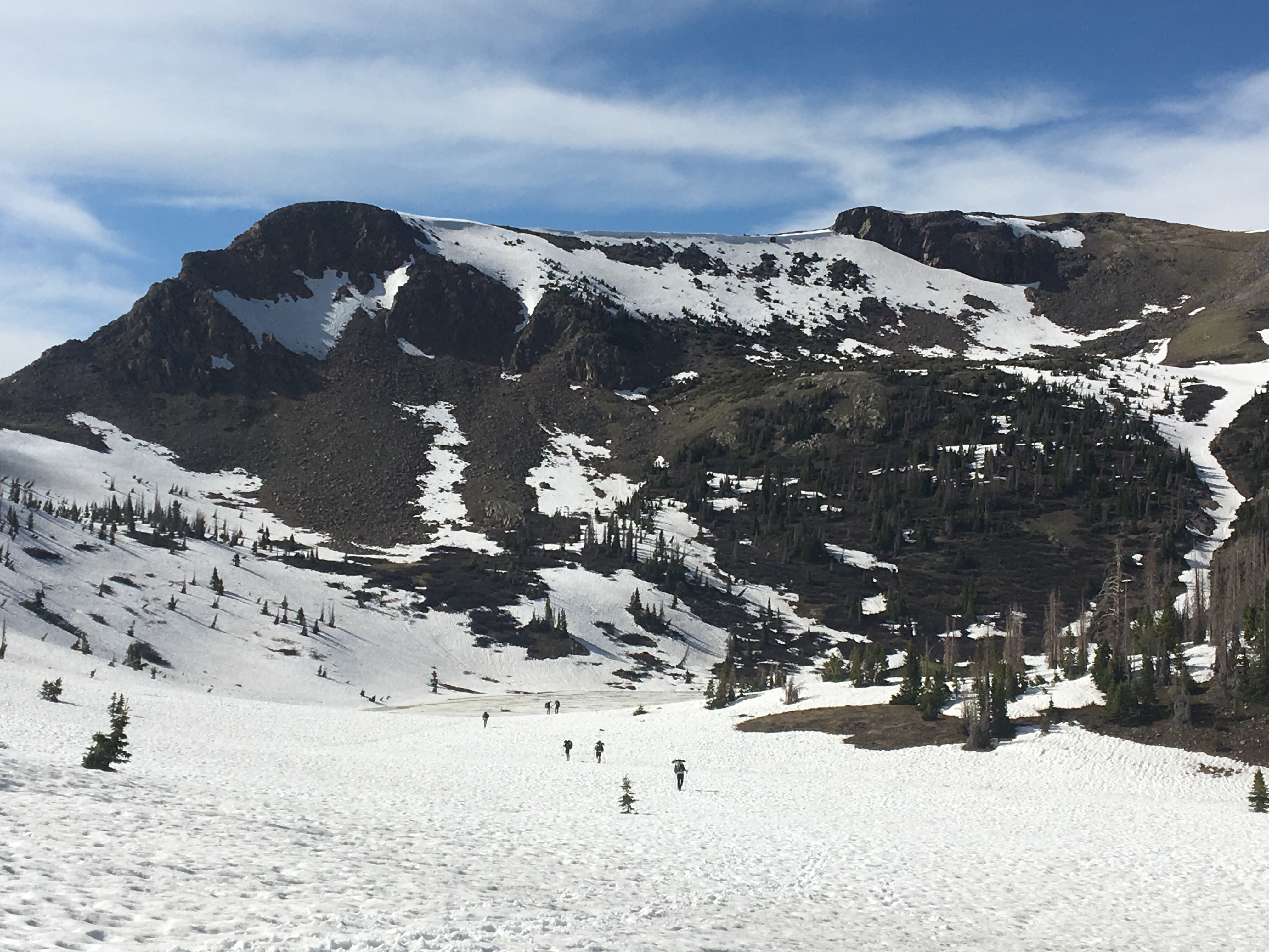 So many hikers on trail
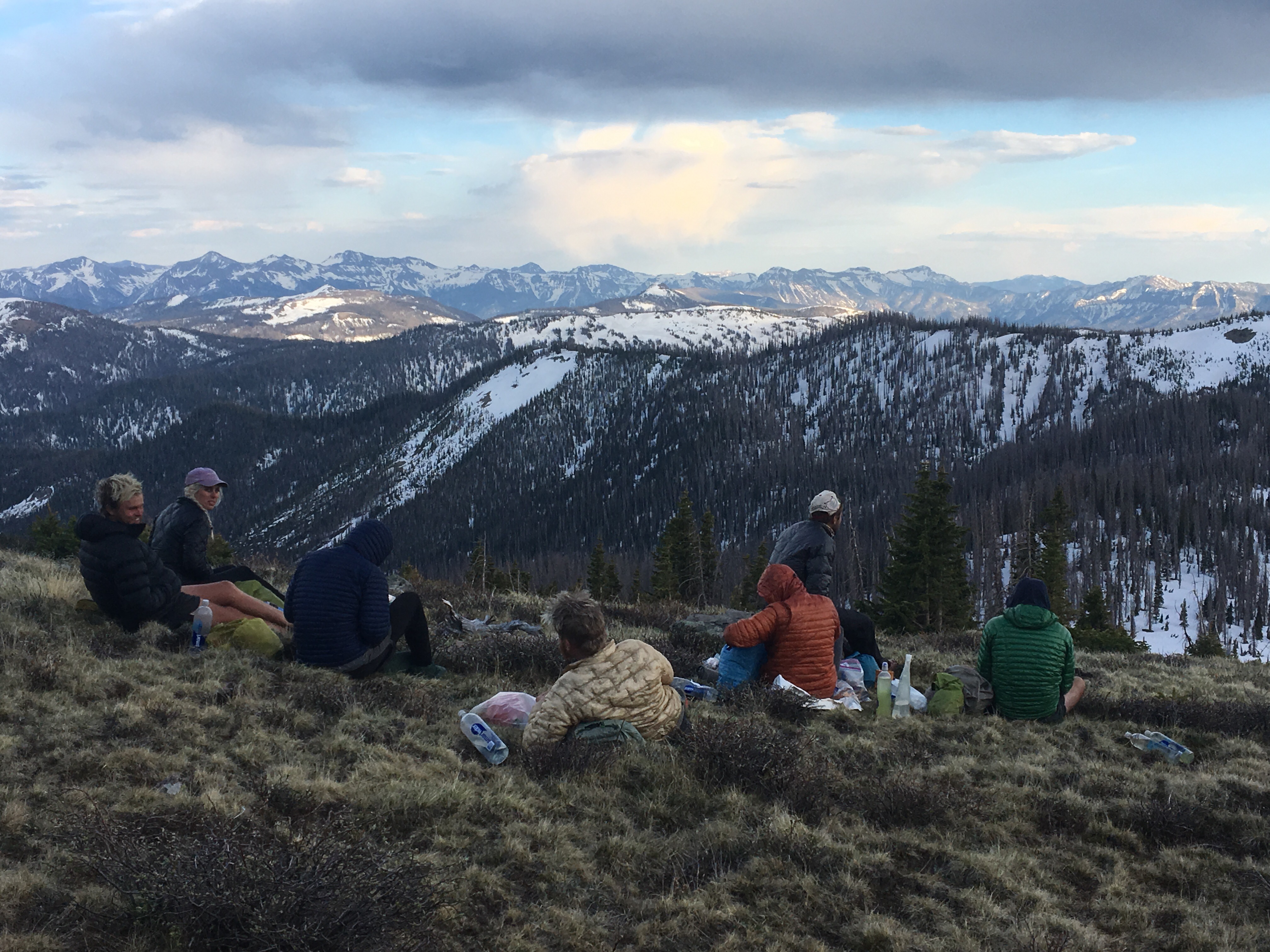

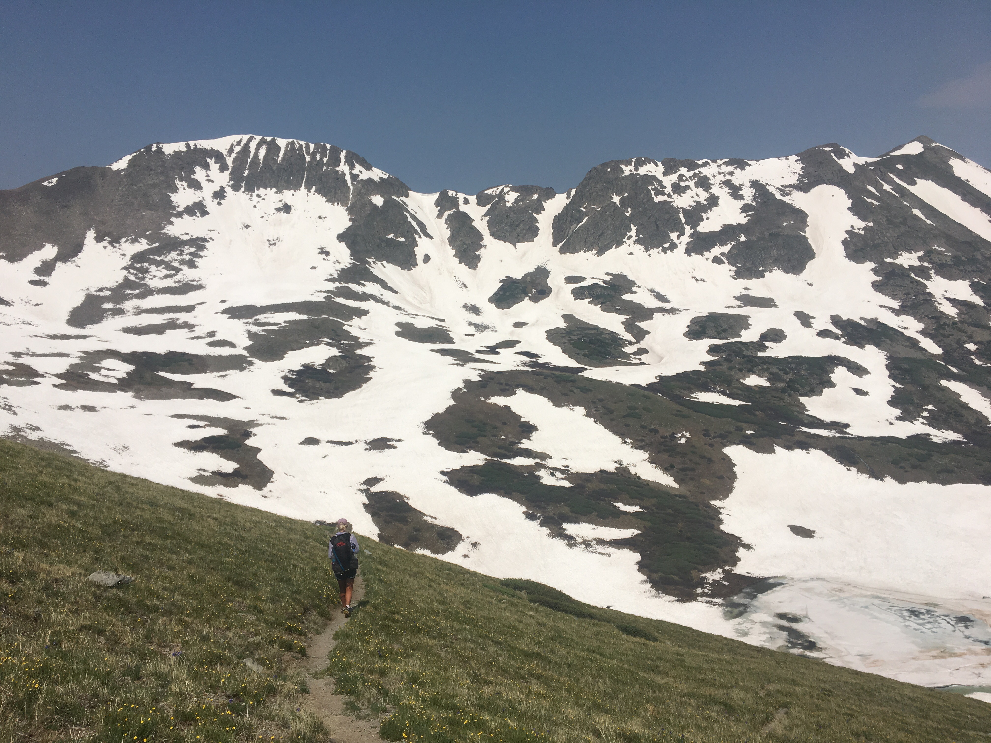
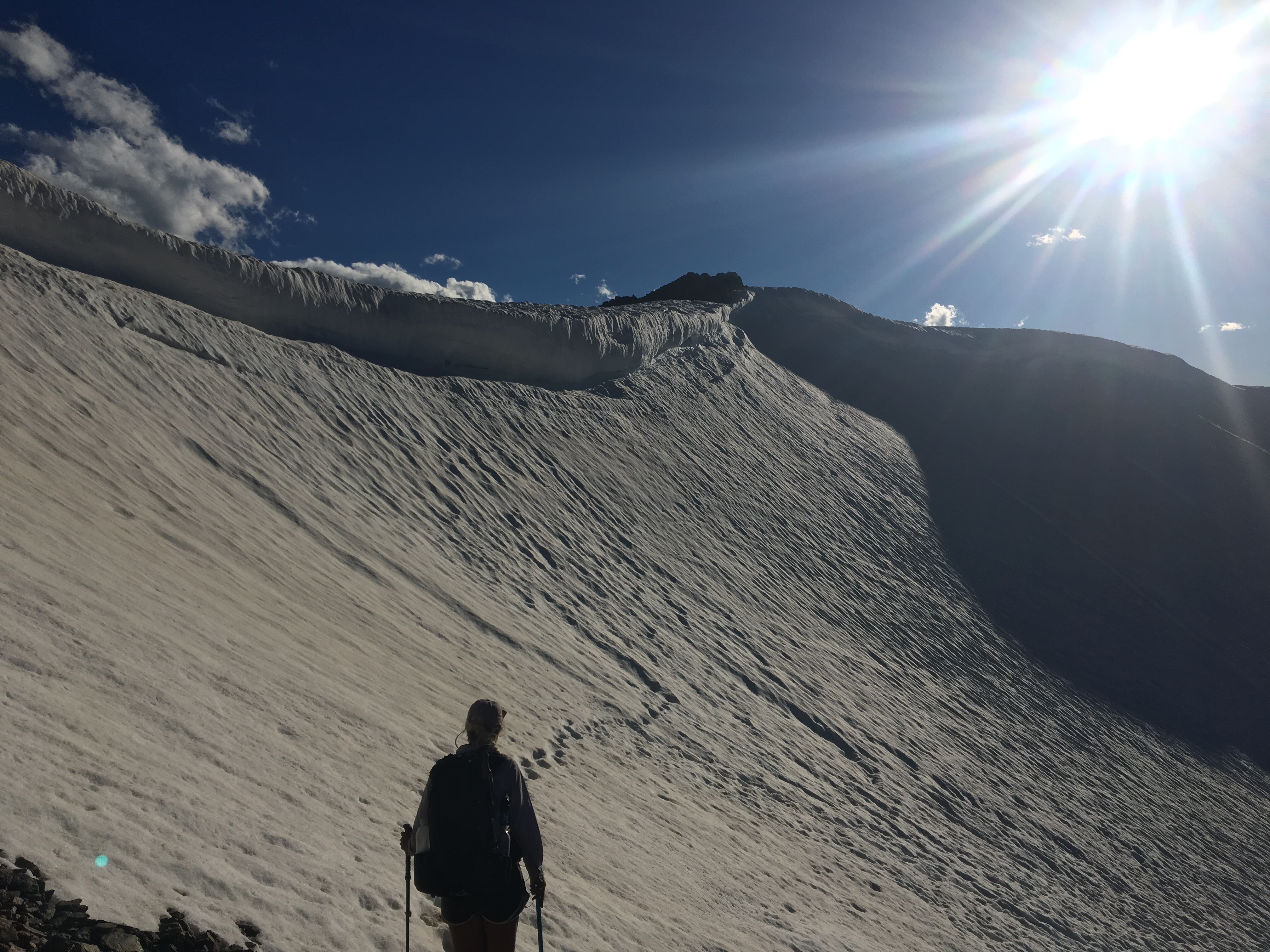
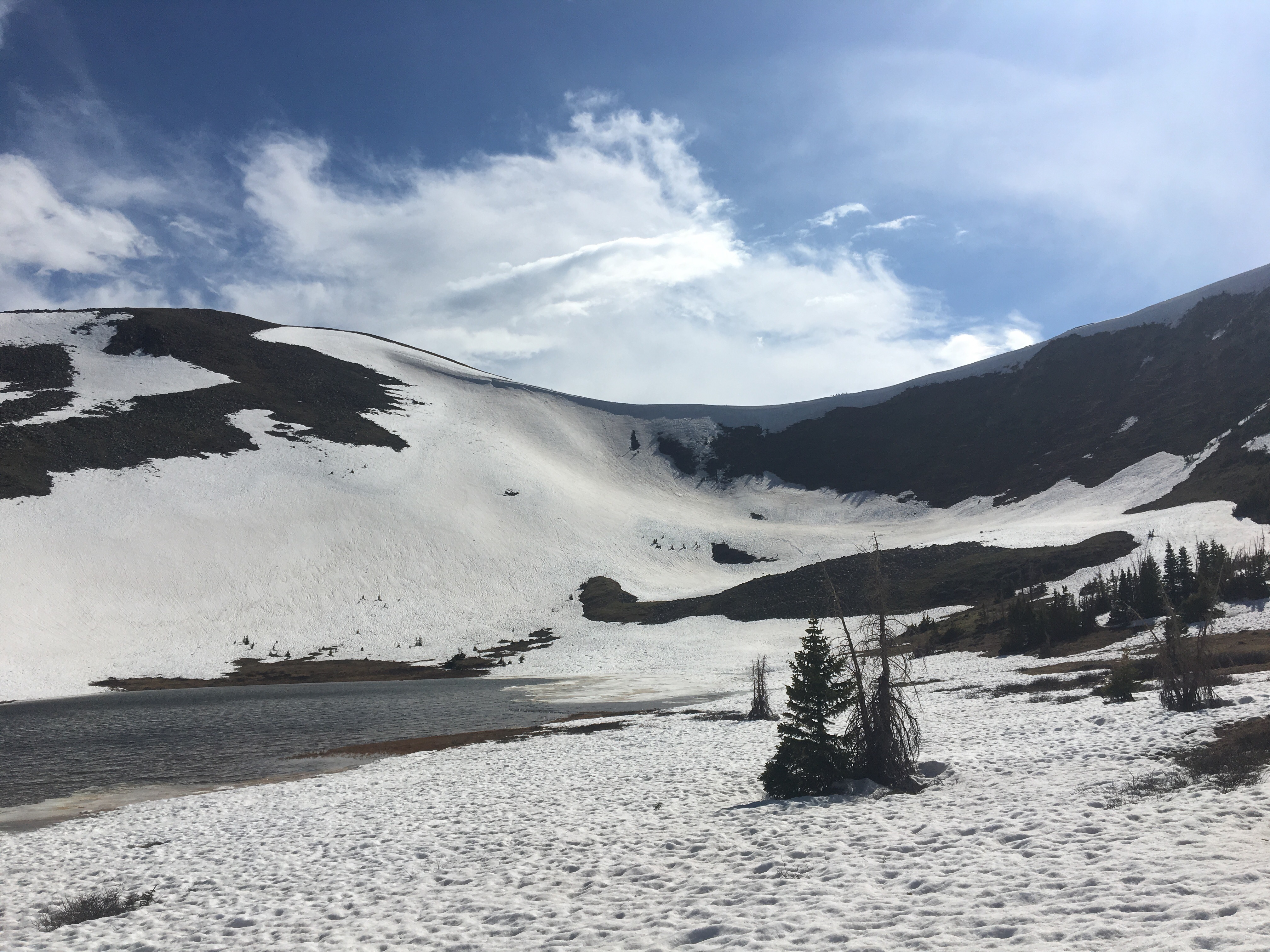
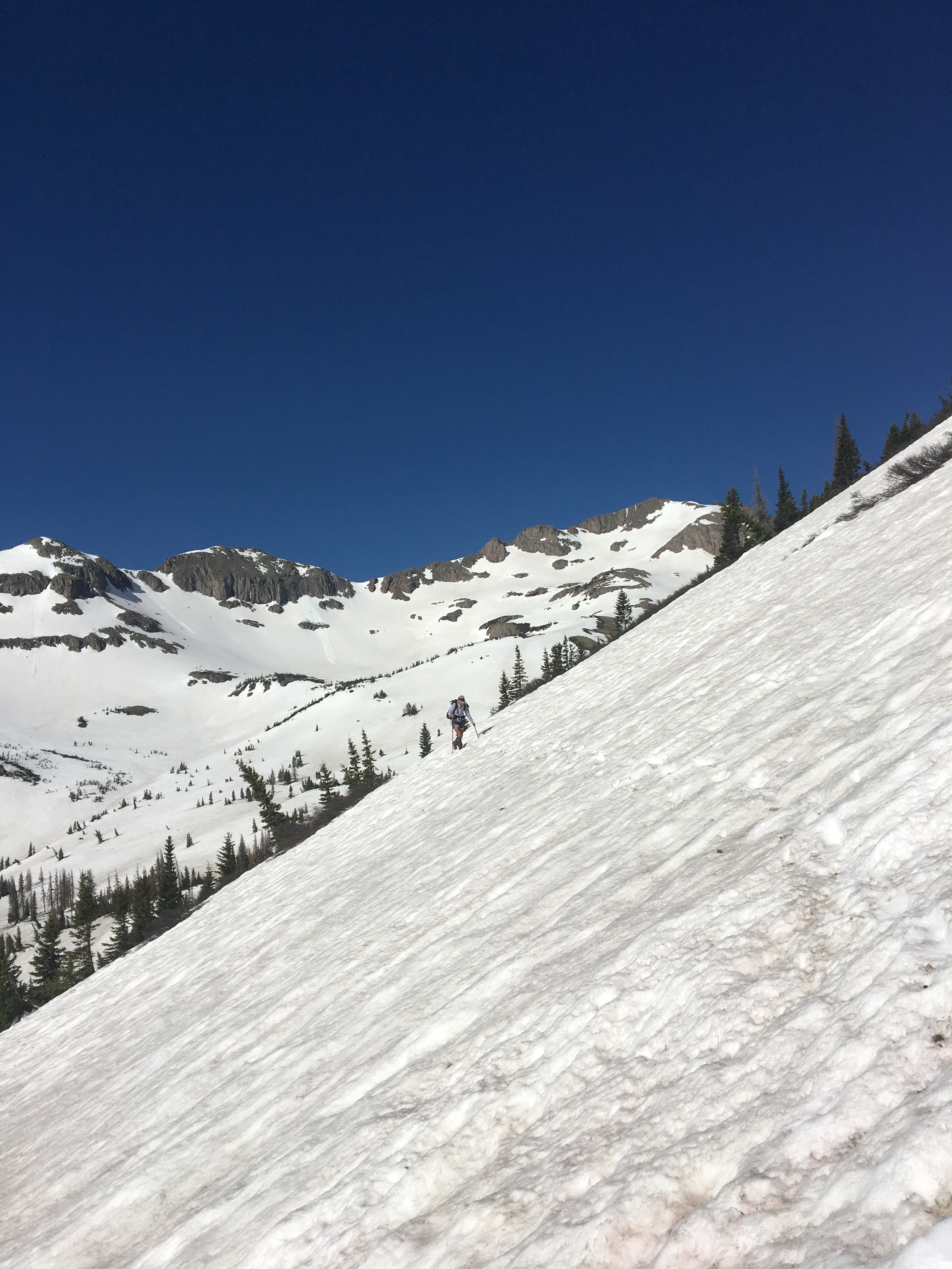
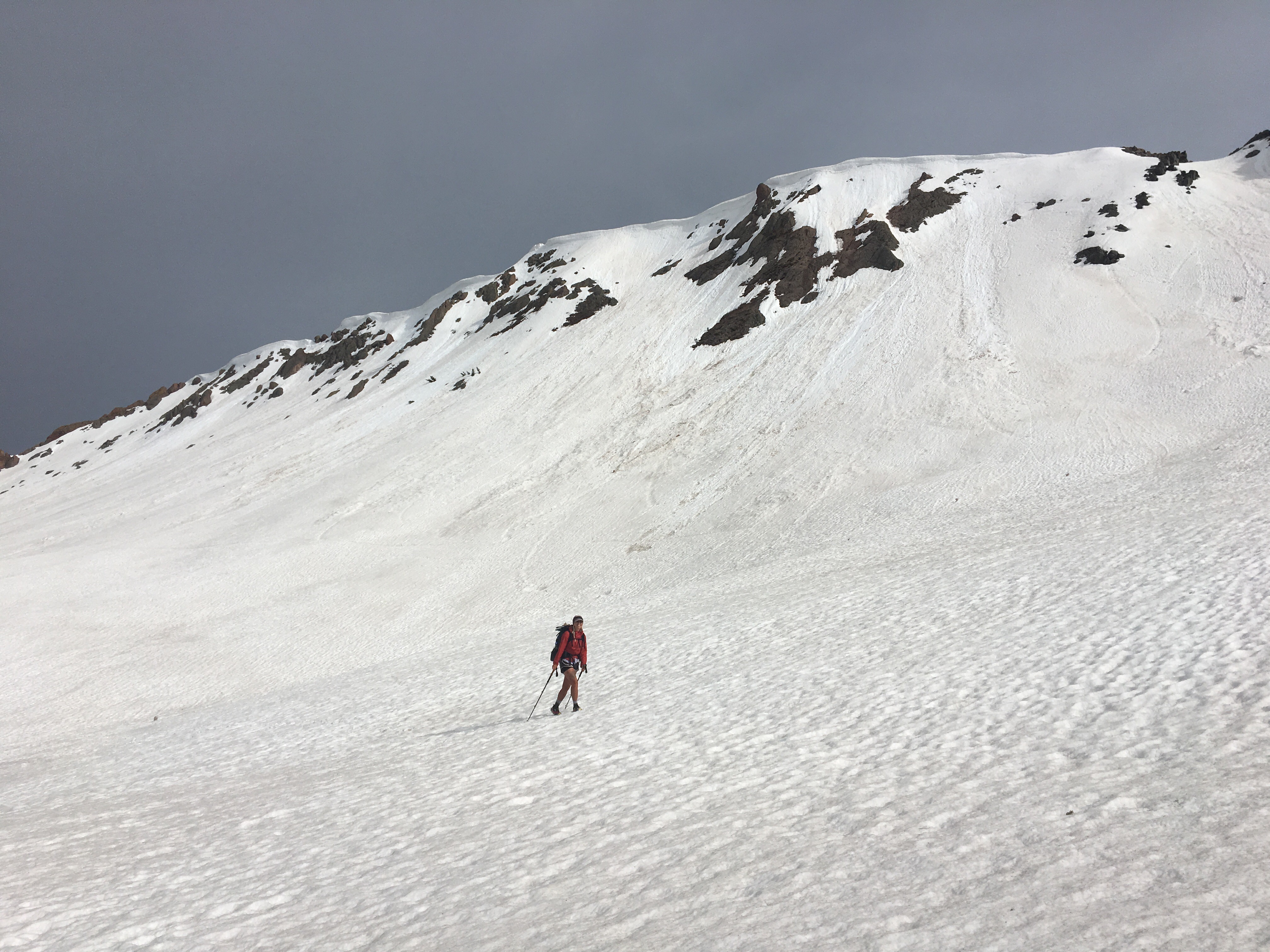 QB walking across a gigantic bowl
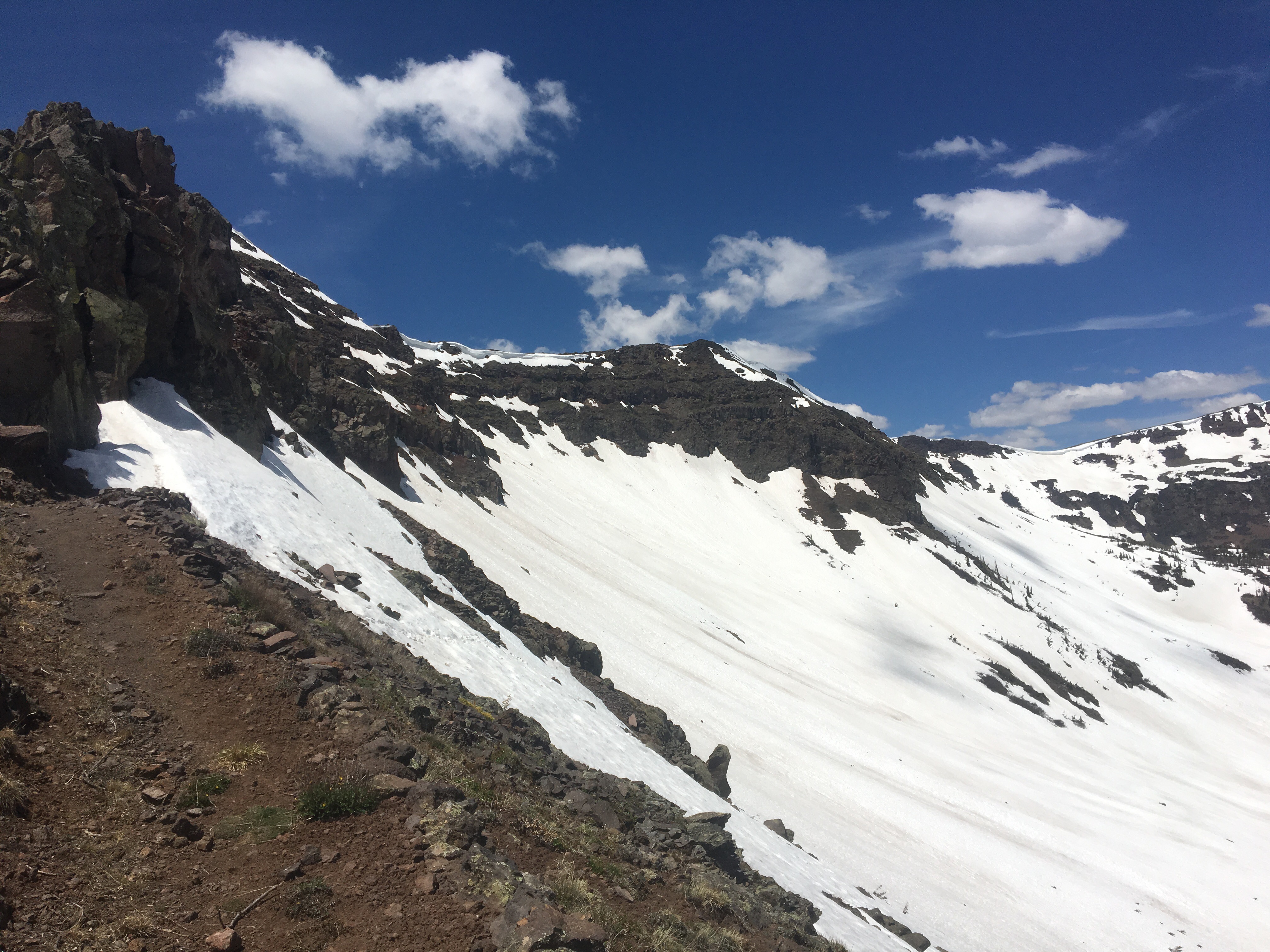


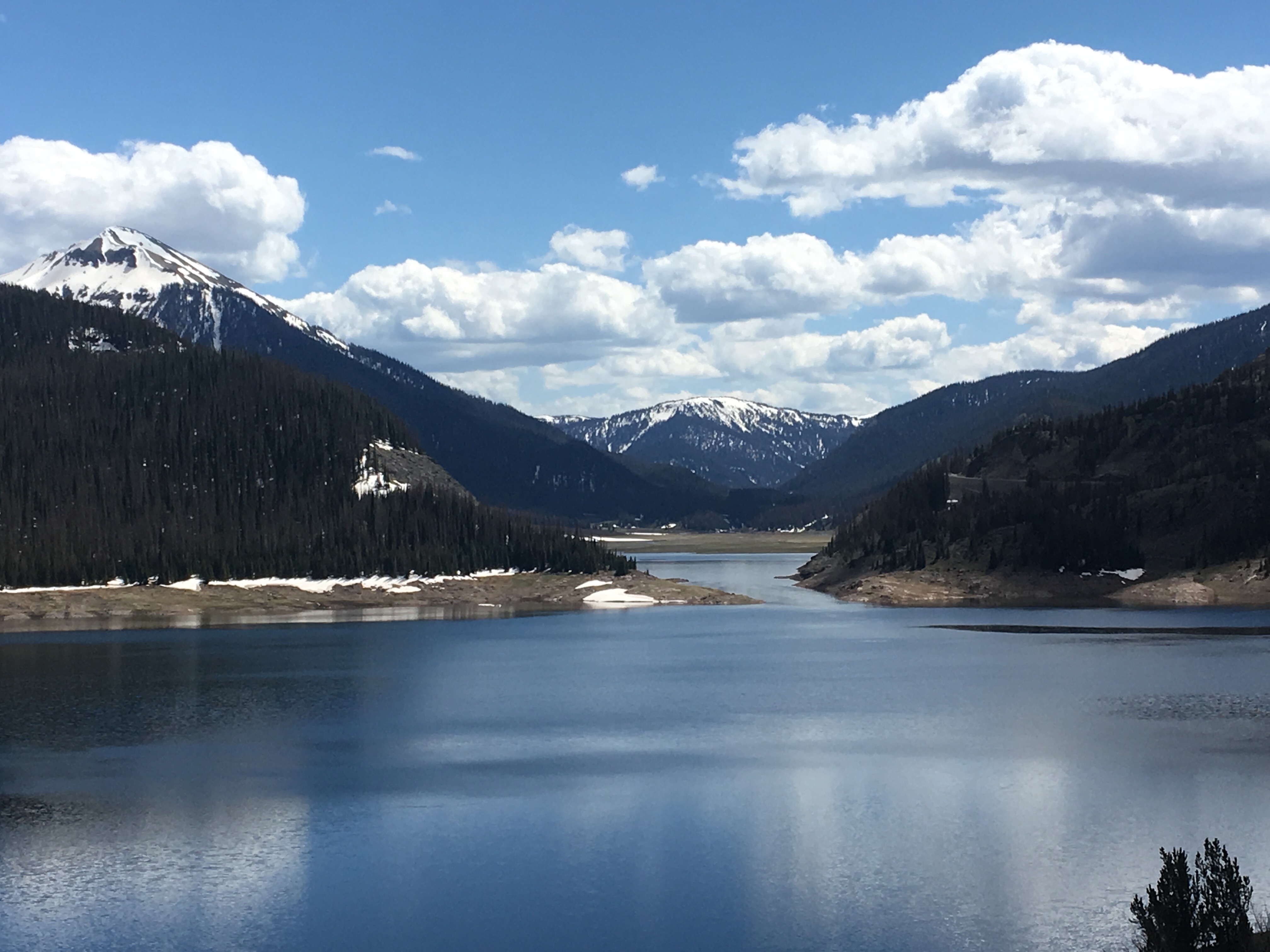
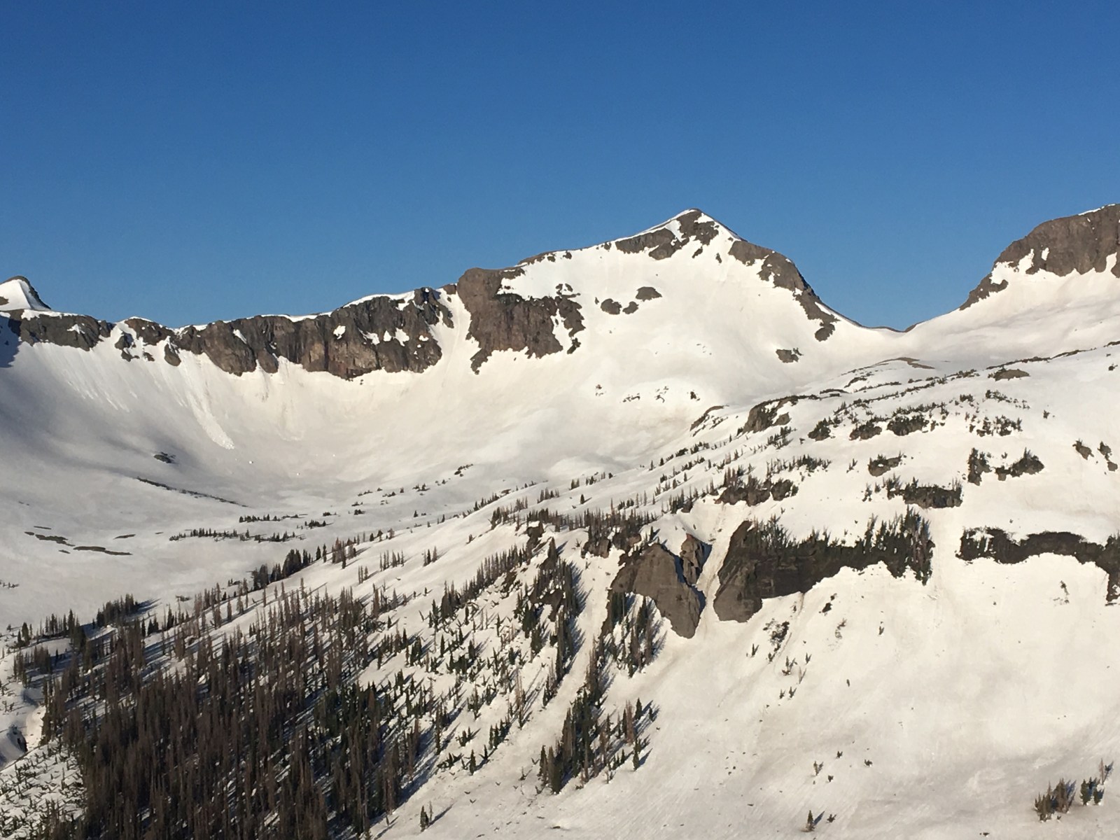
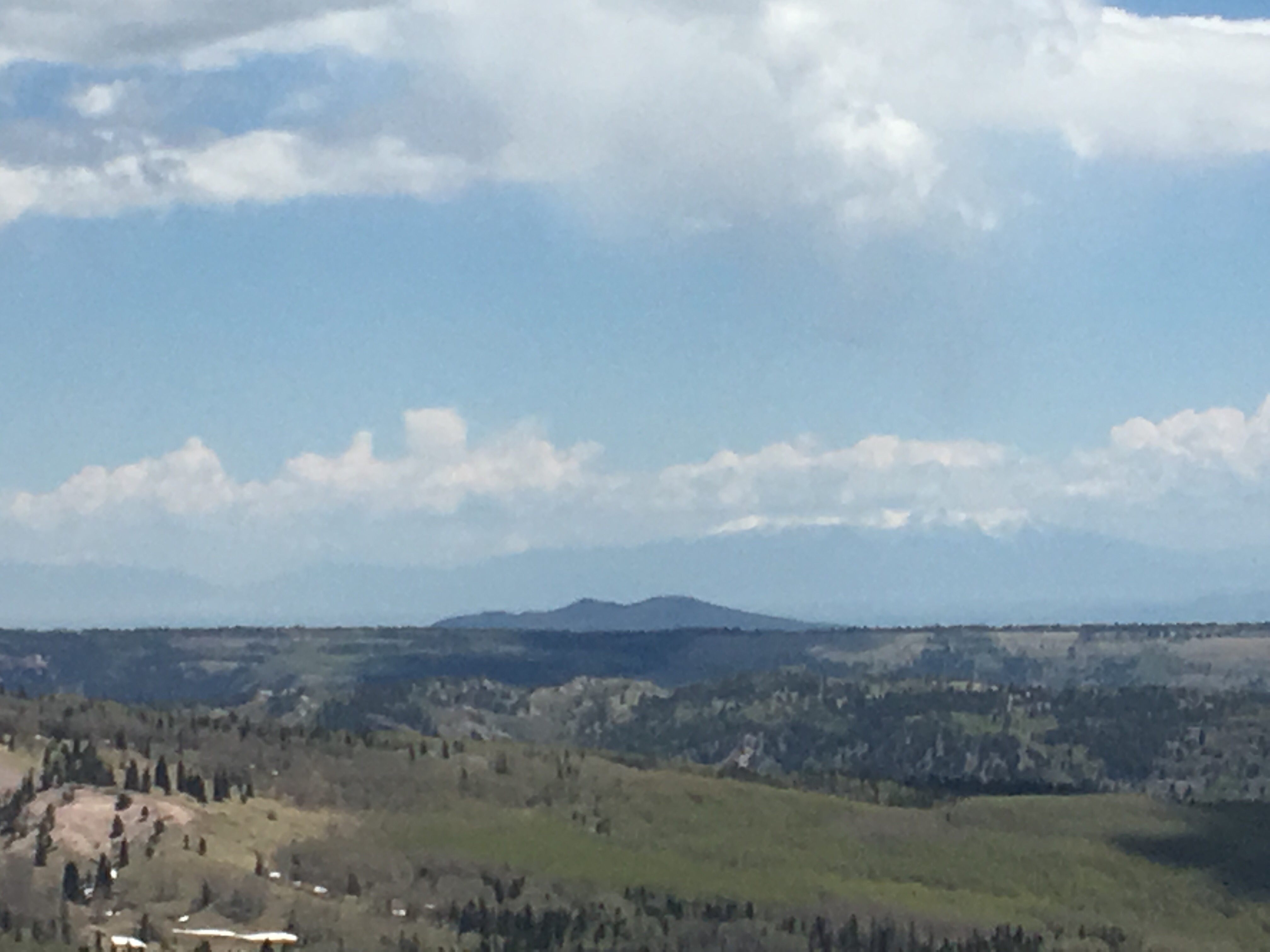
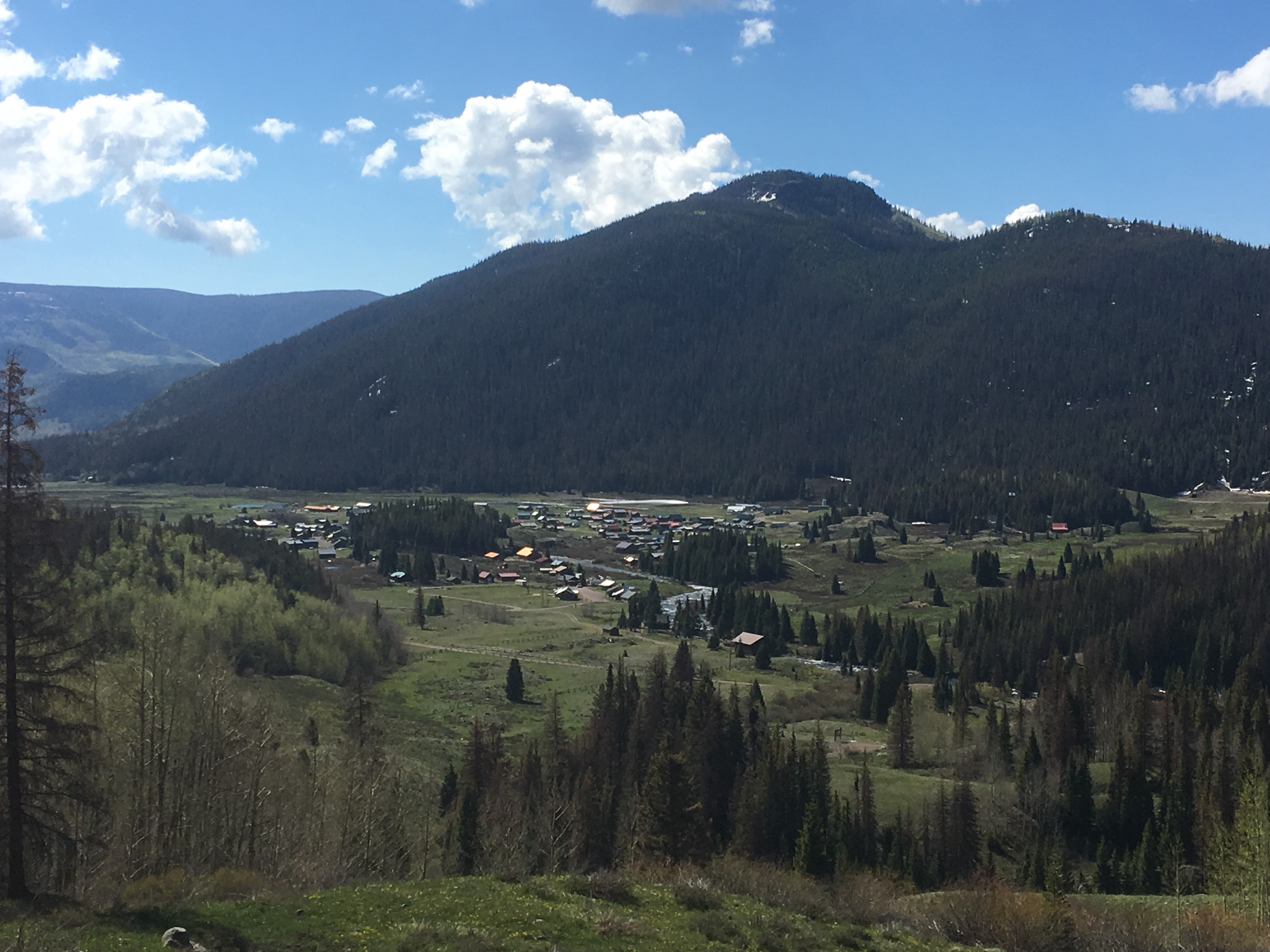 Looking down at Platoro


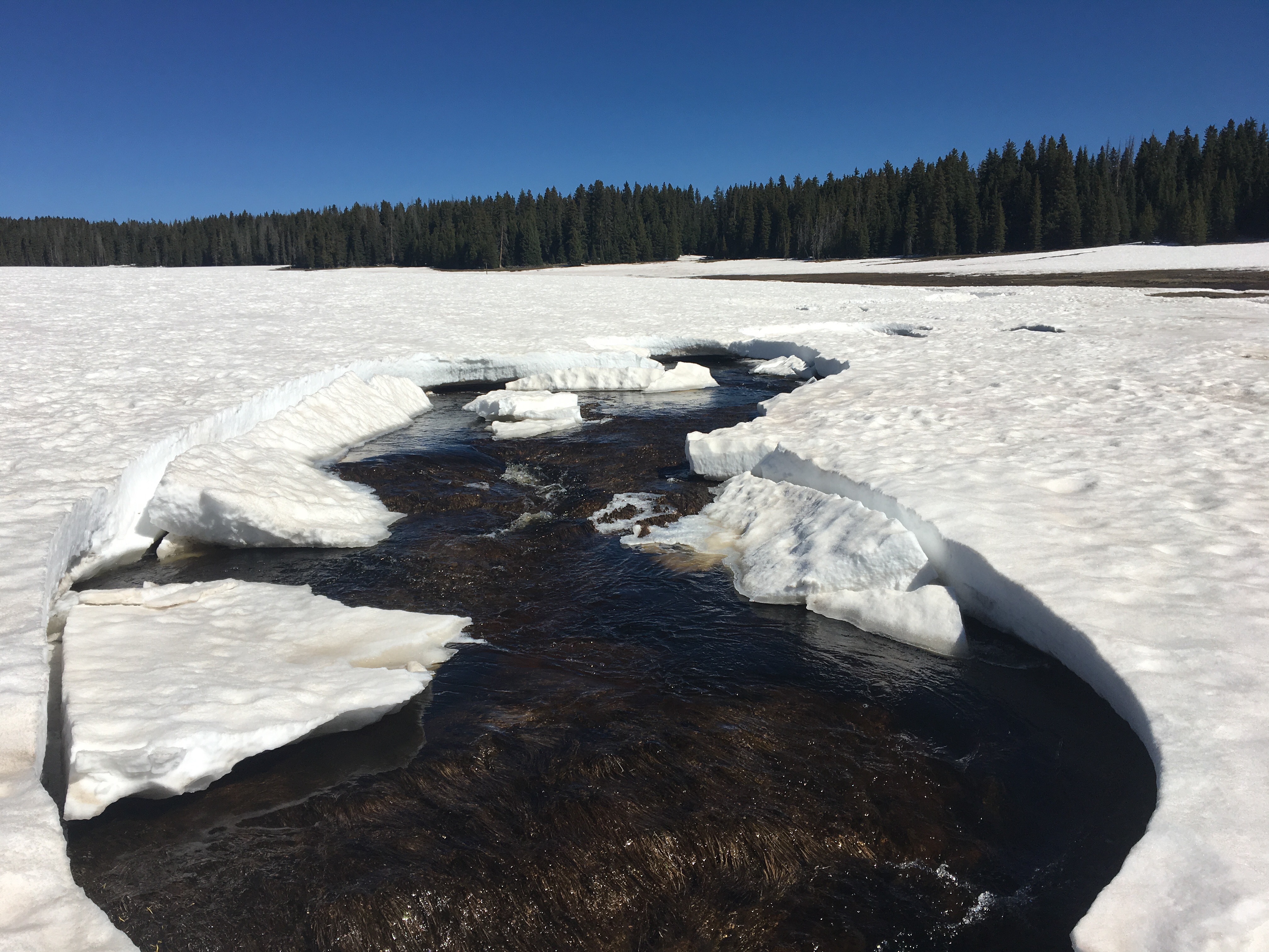
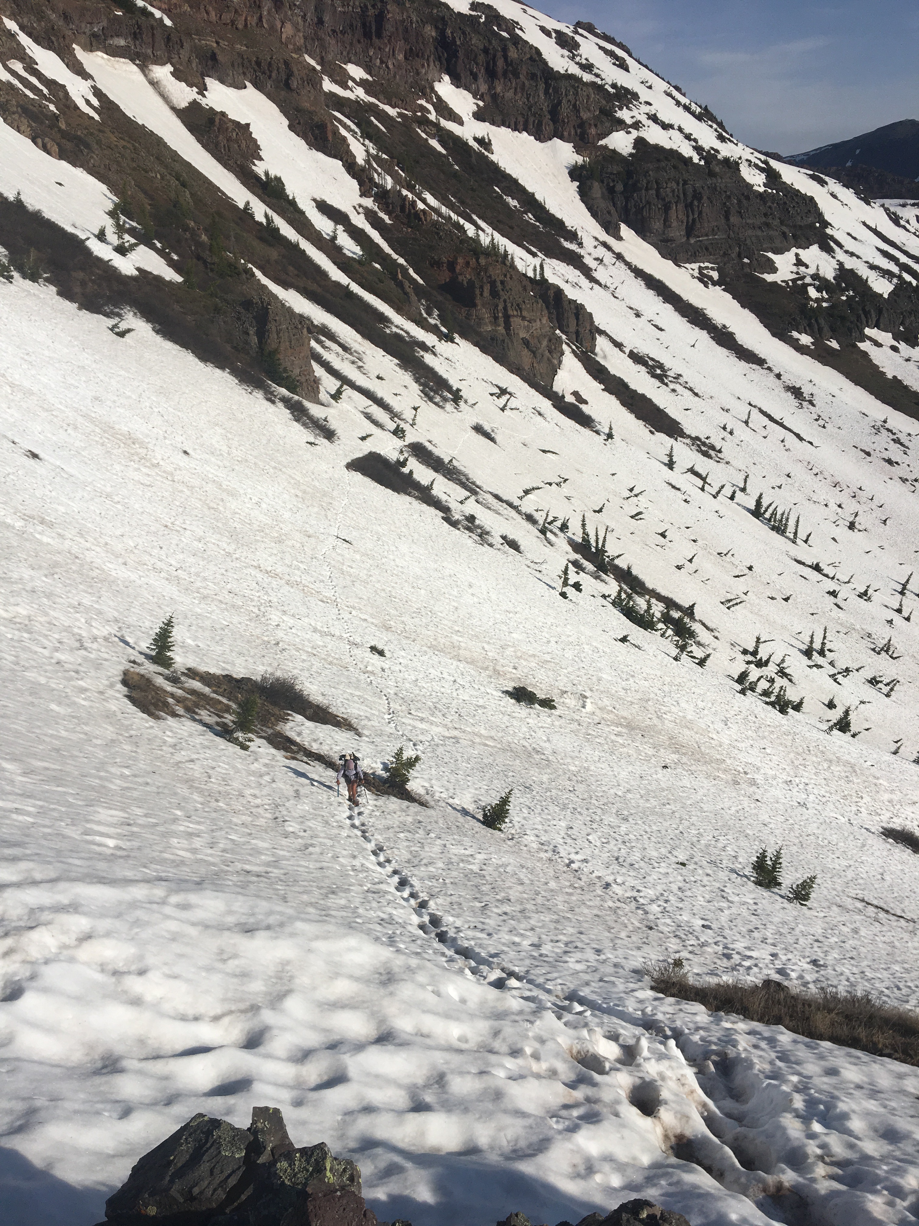
 Queen B carefully mapping out her steps across the mighty Vallecitos


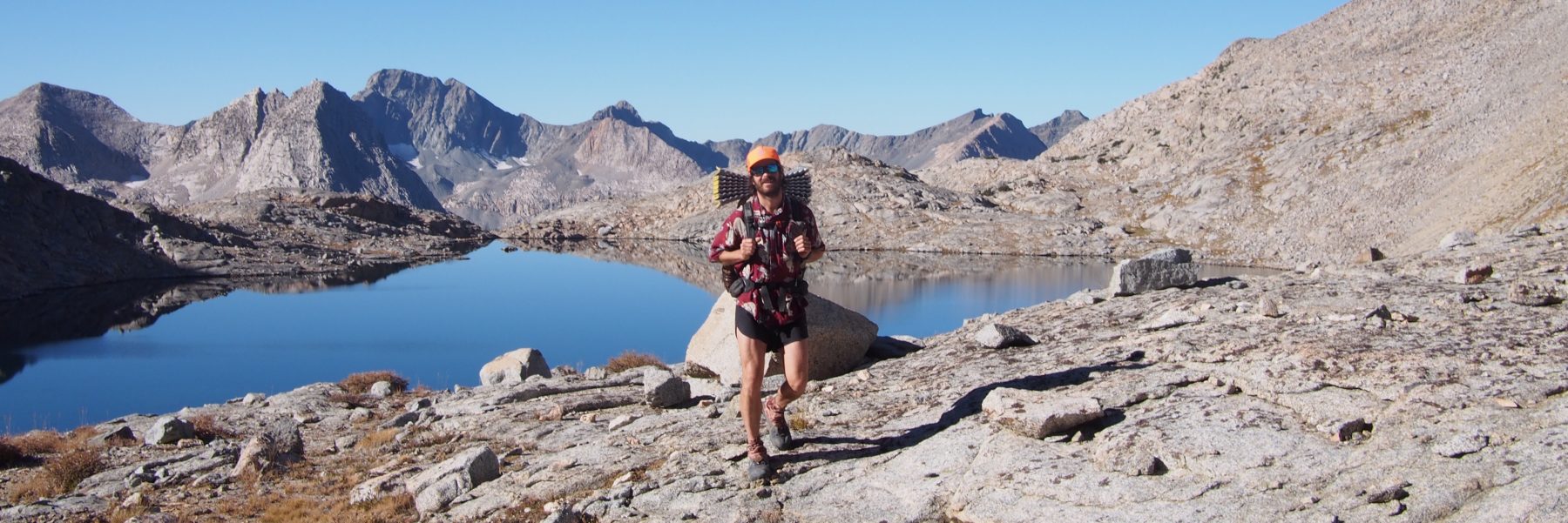
 Speed cruising through a snowfield
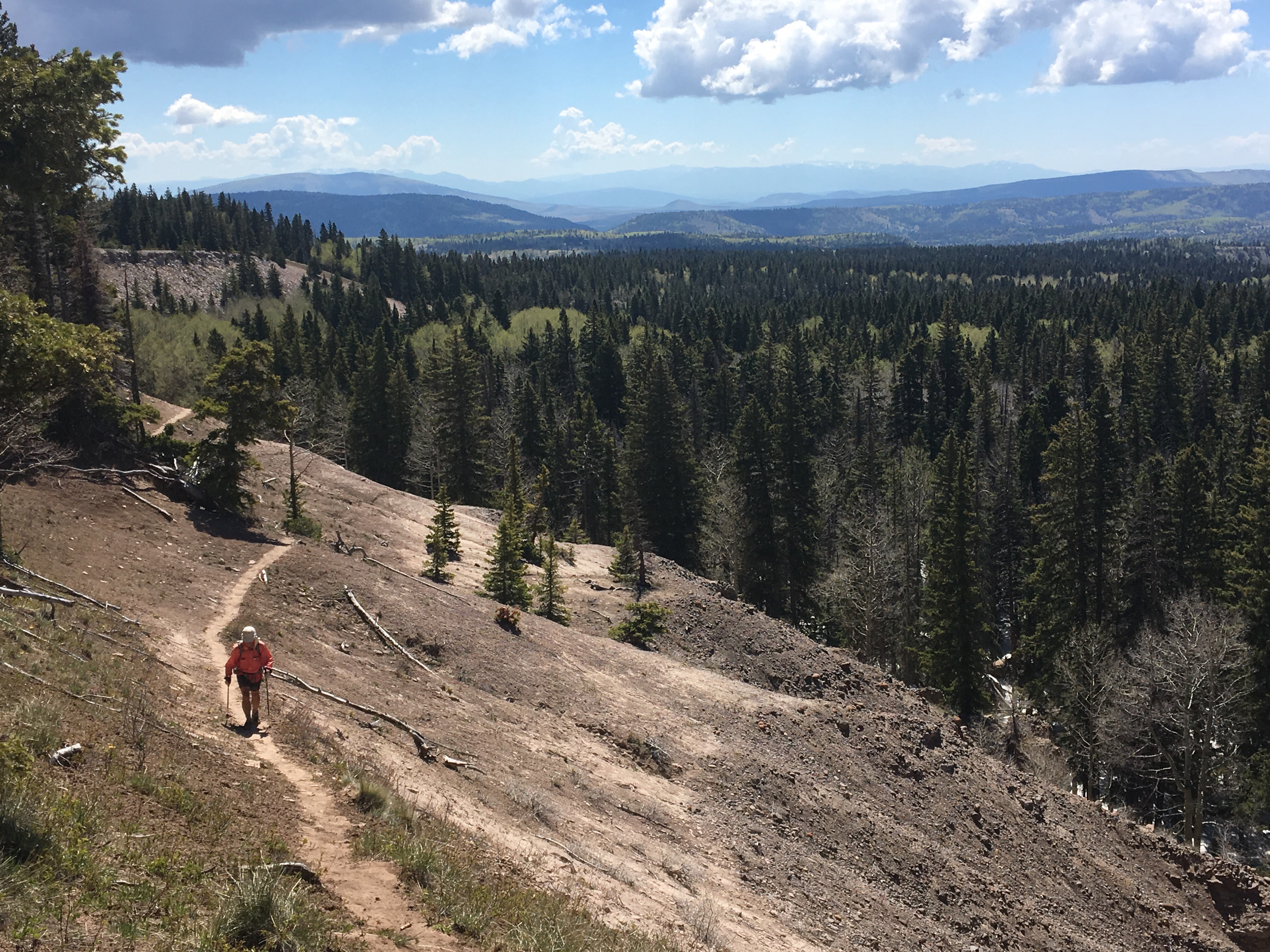

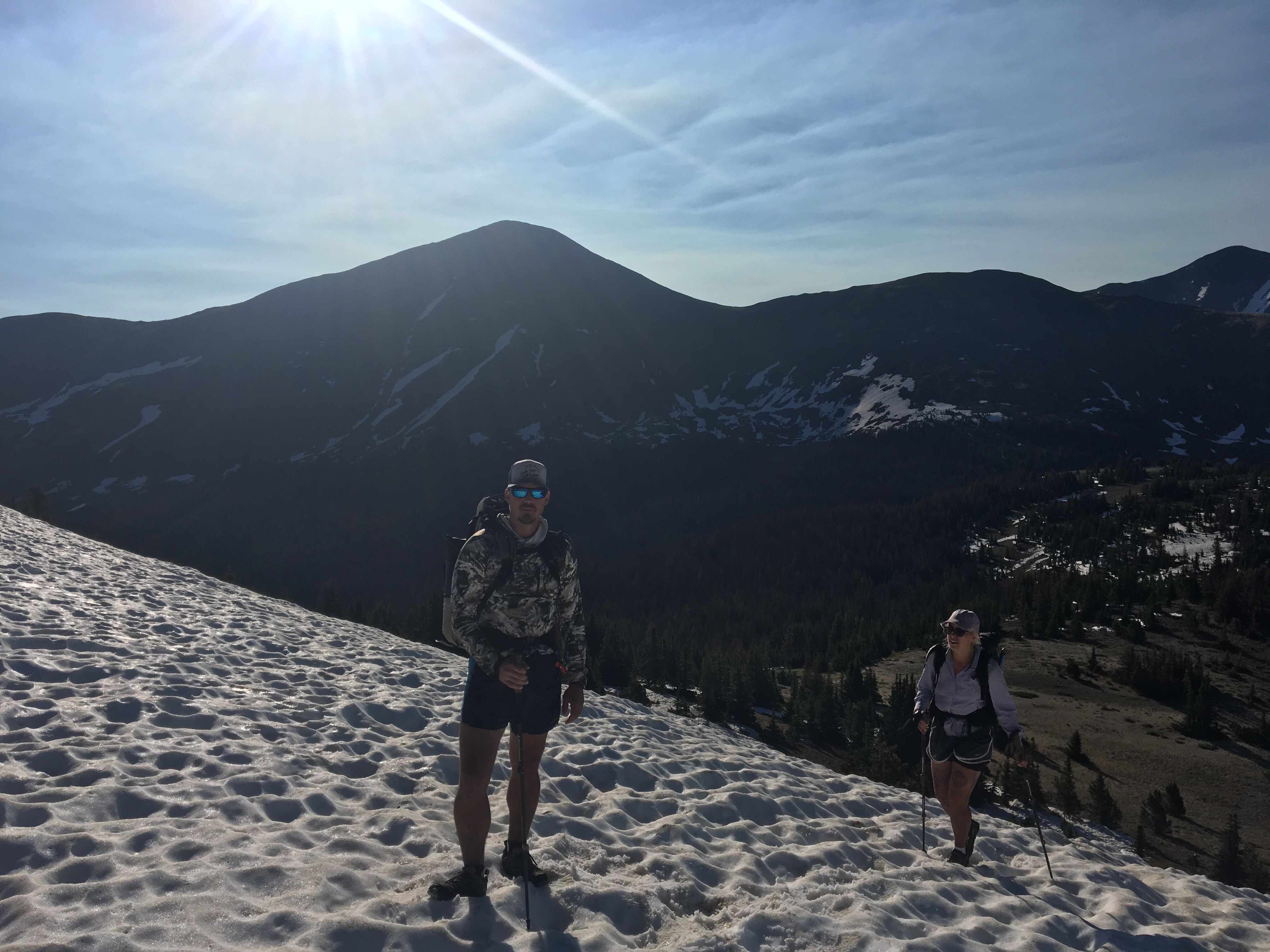
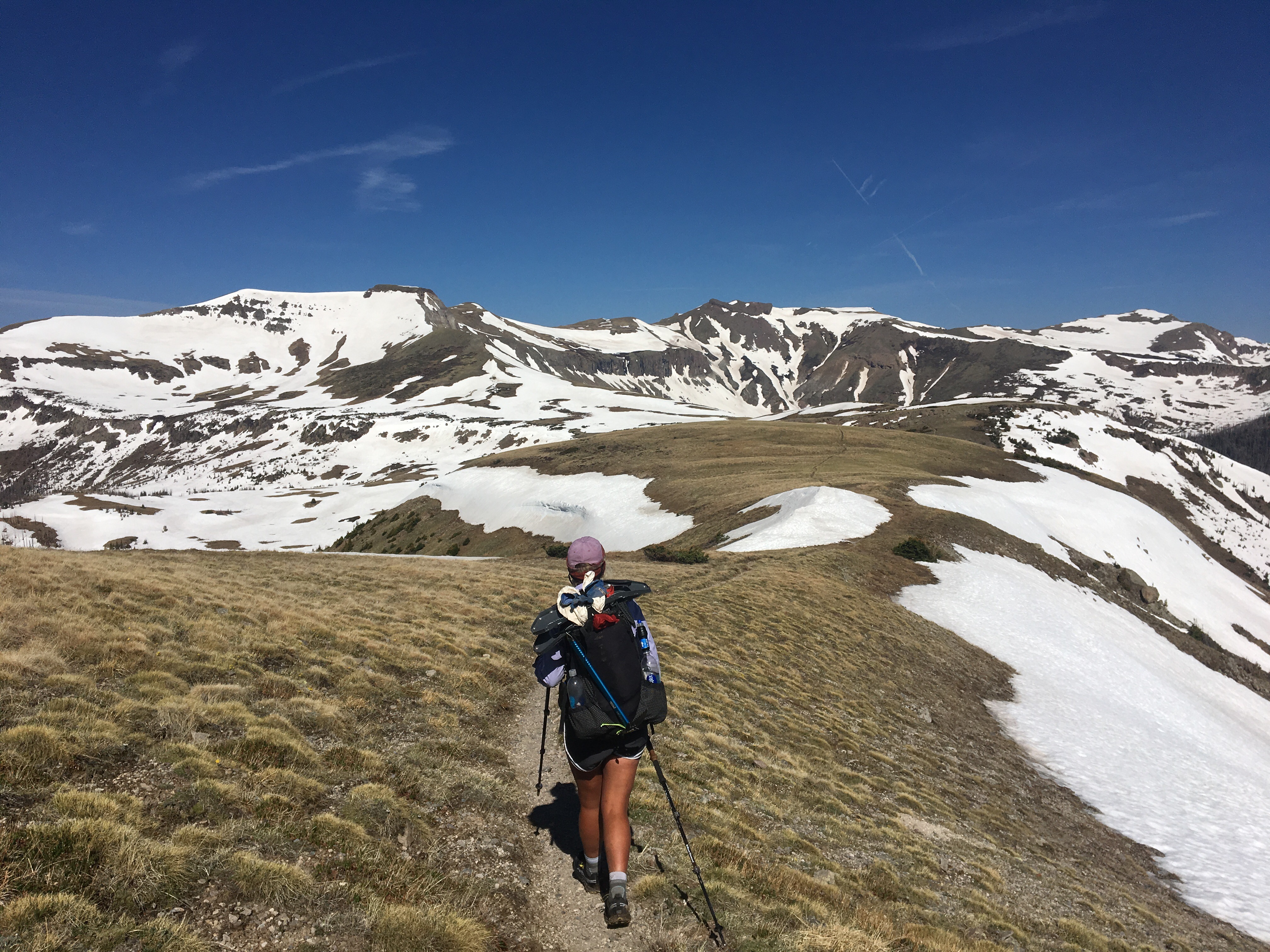
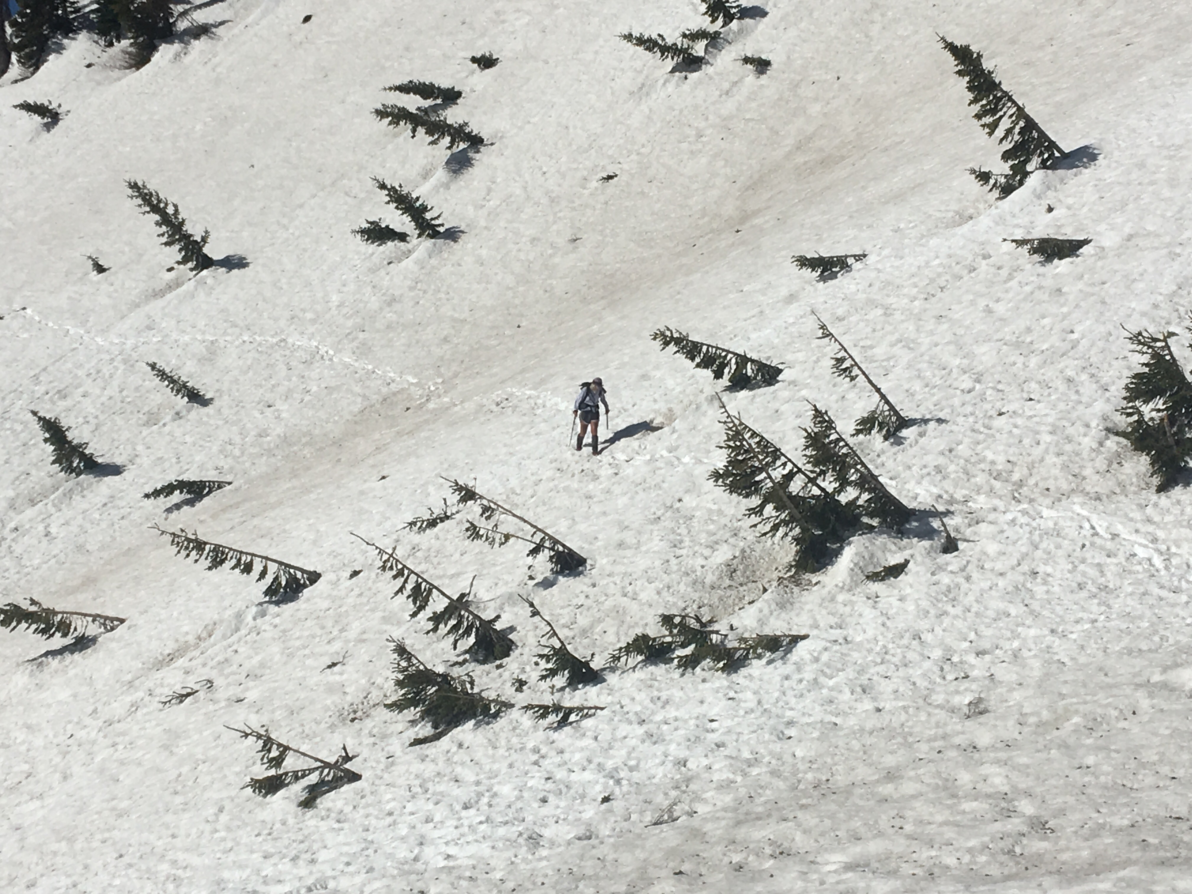
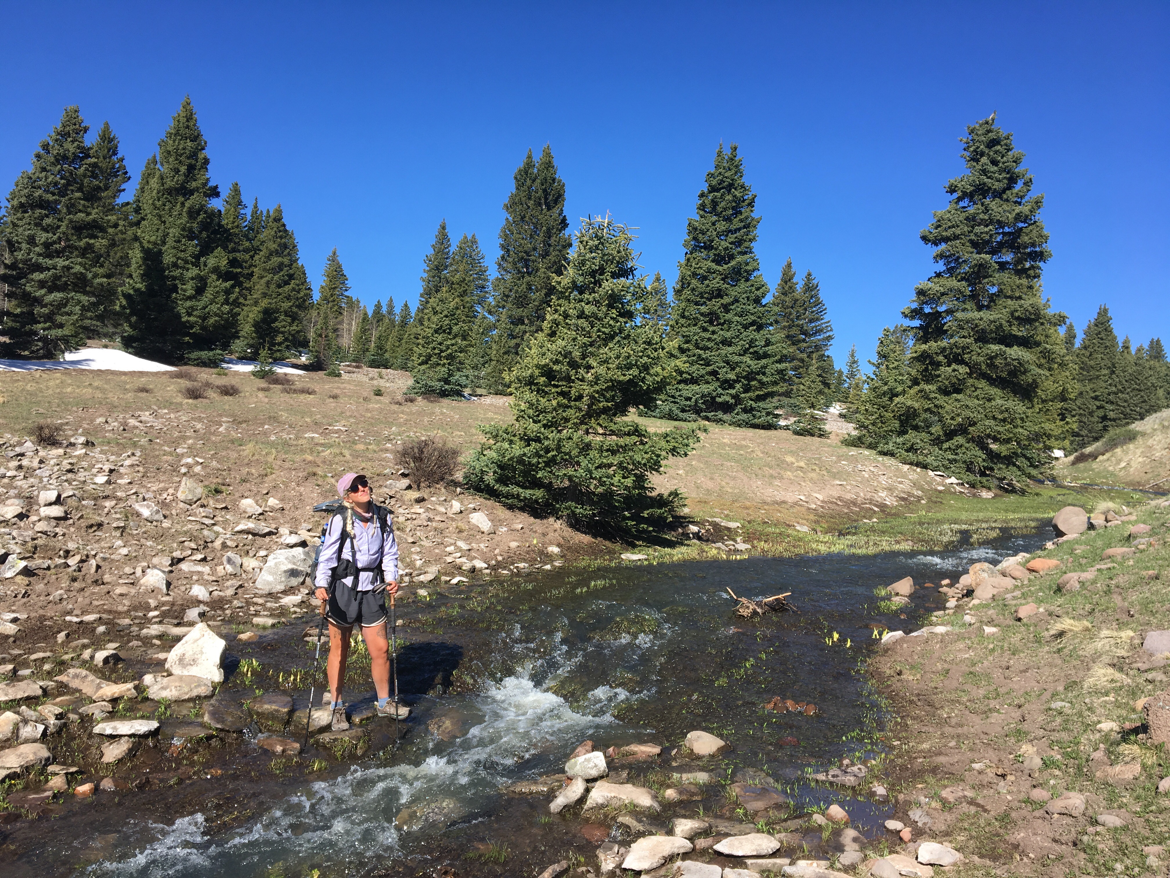
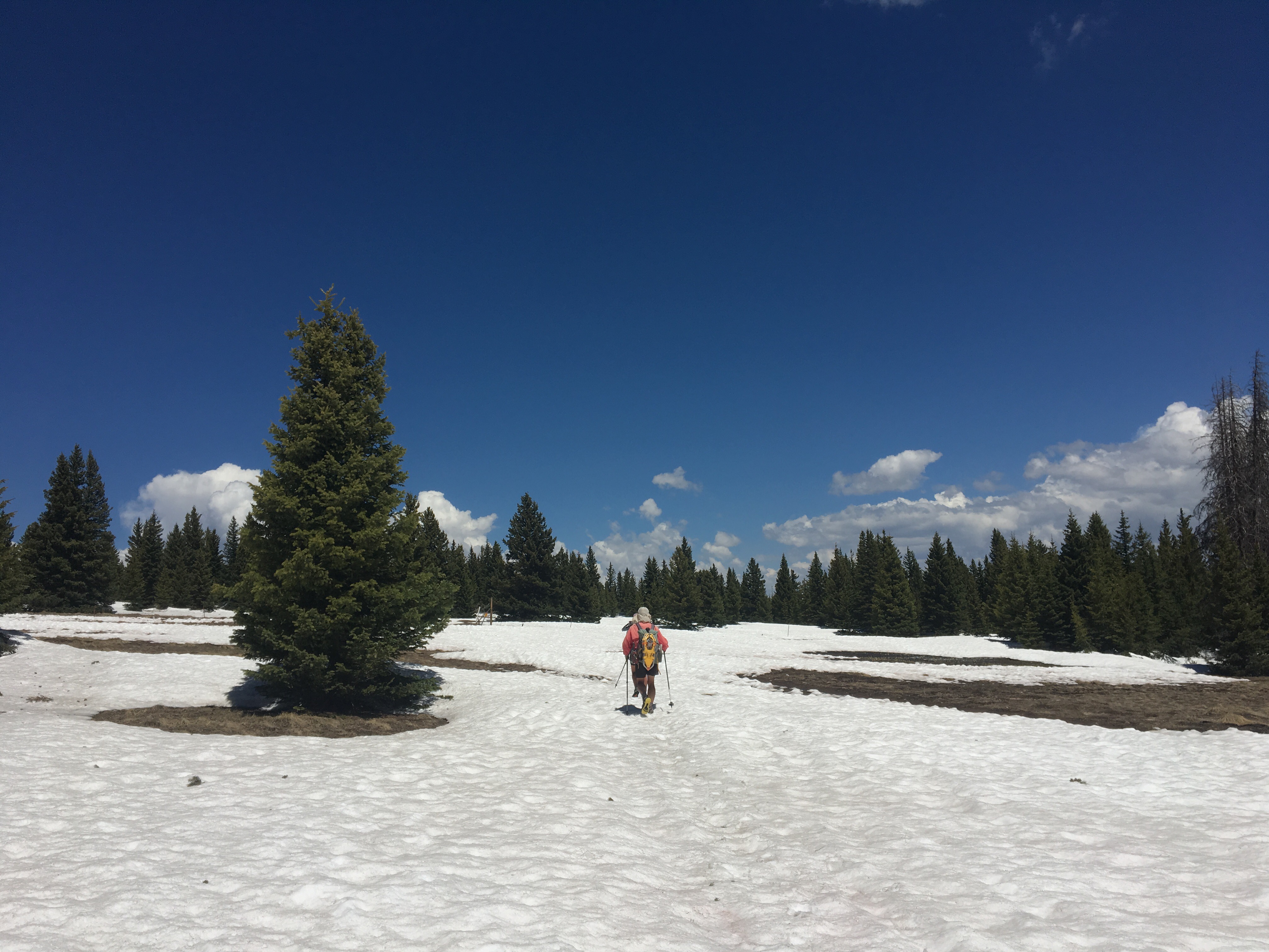
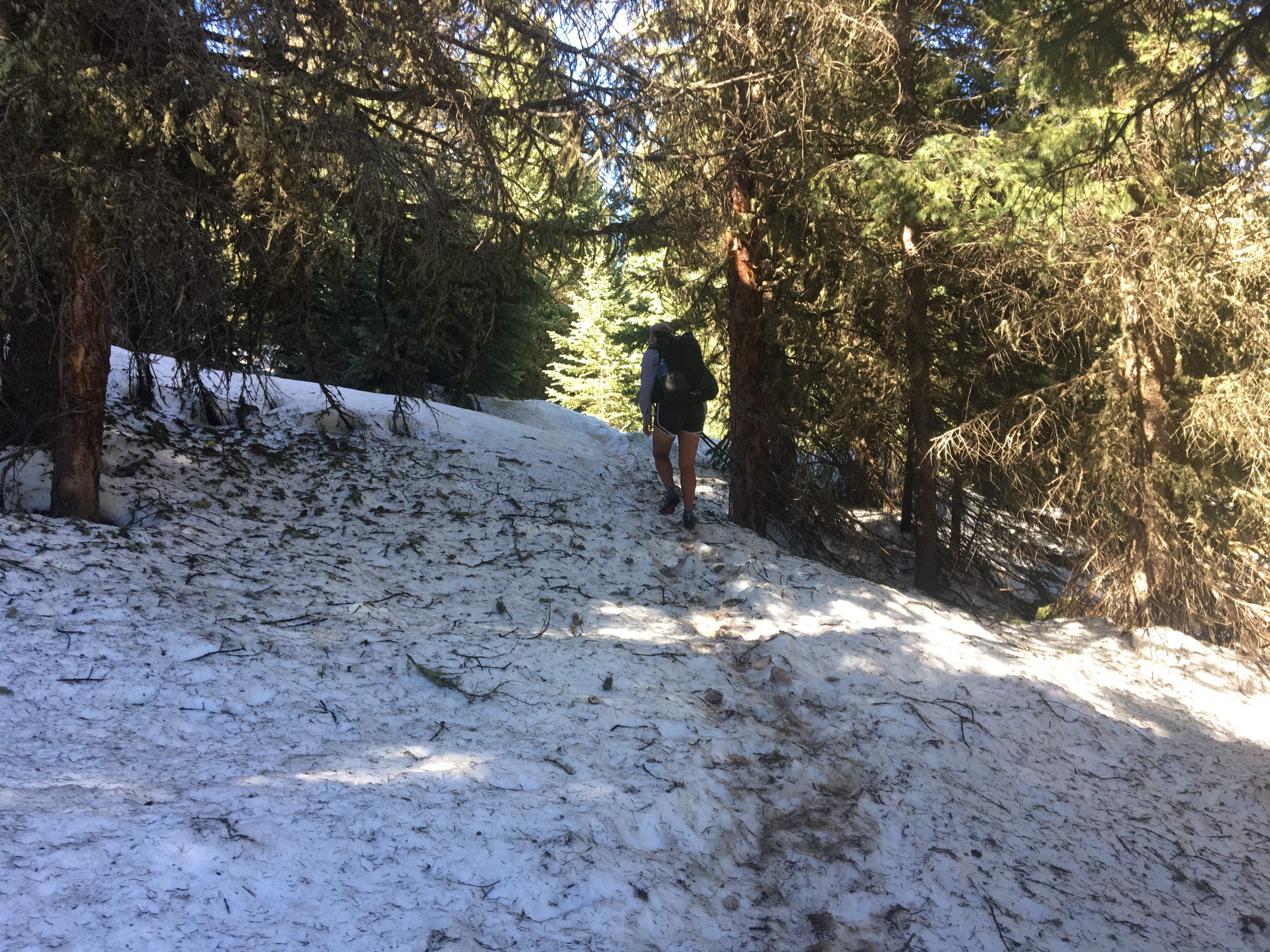 QB practicing walking in the snow


