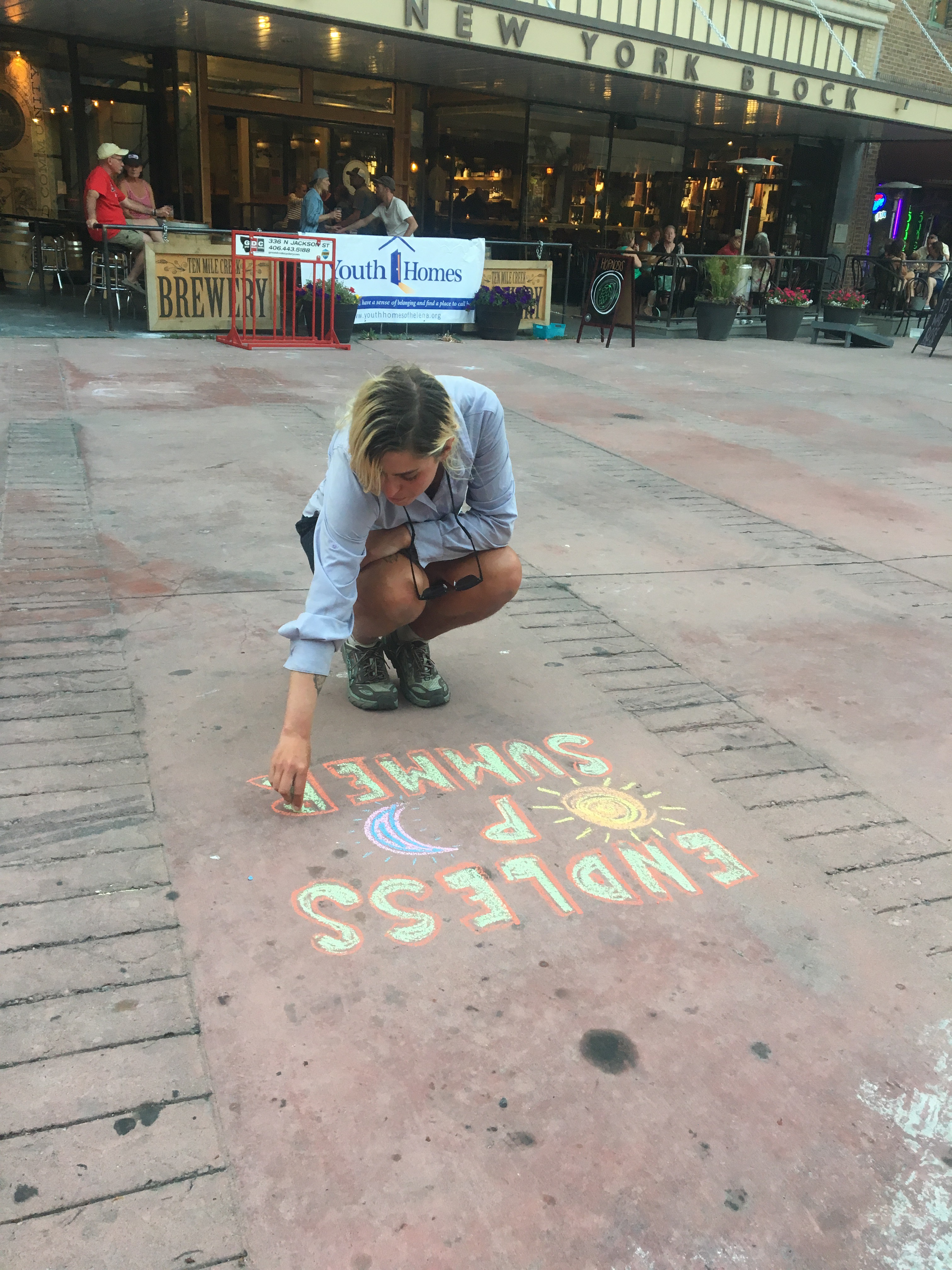
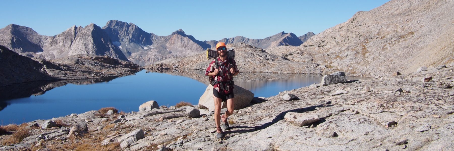
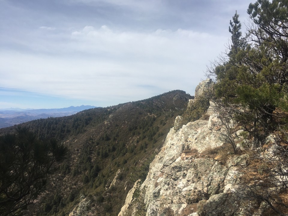
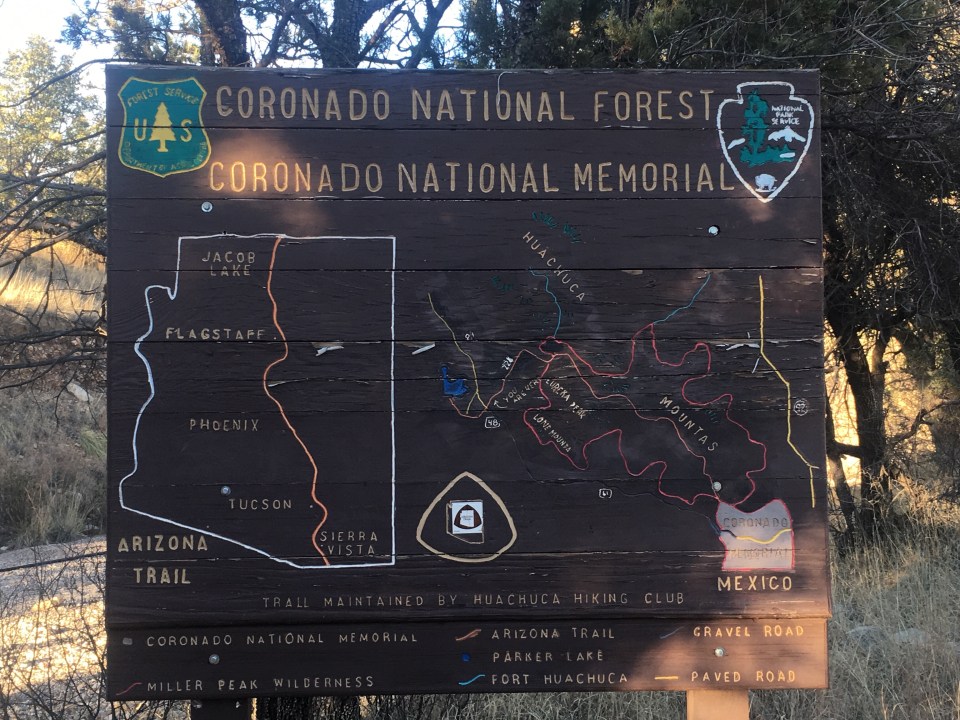
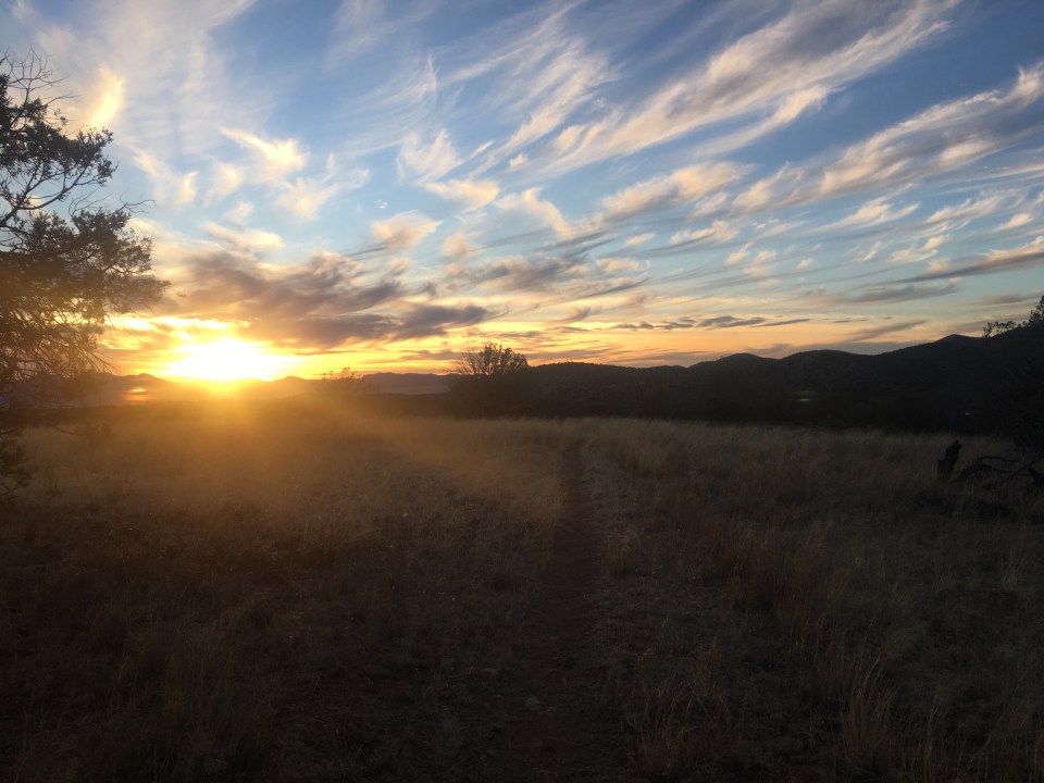
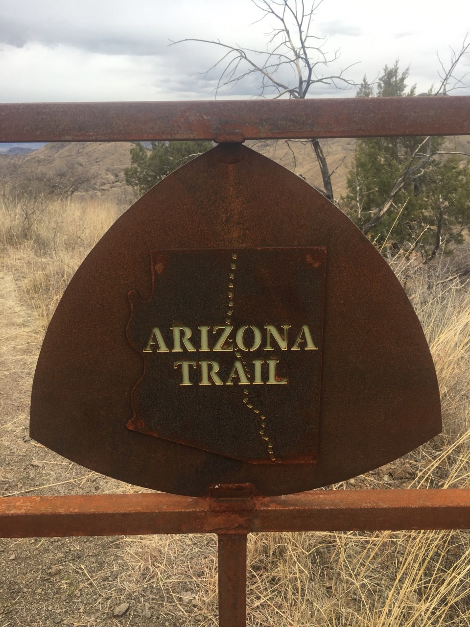
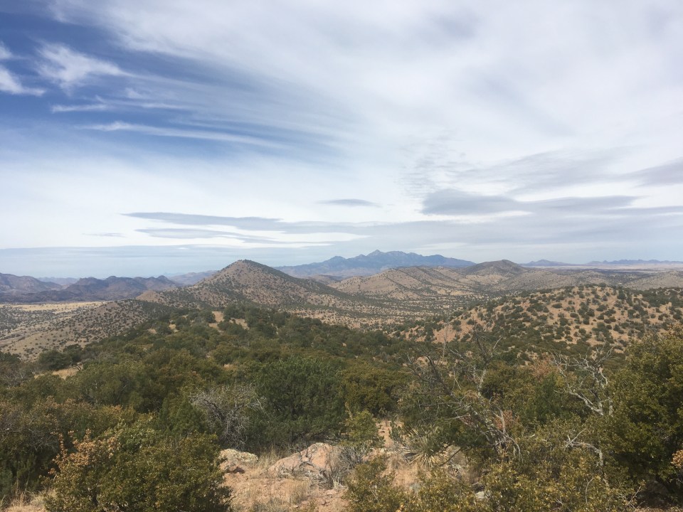
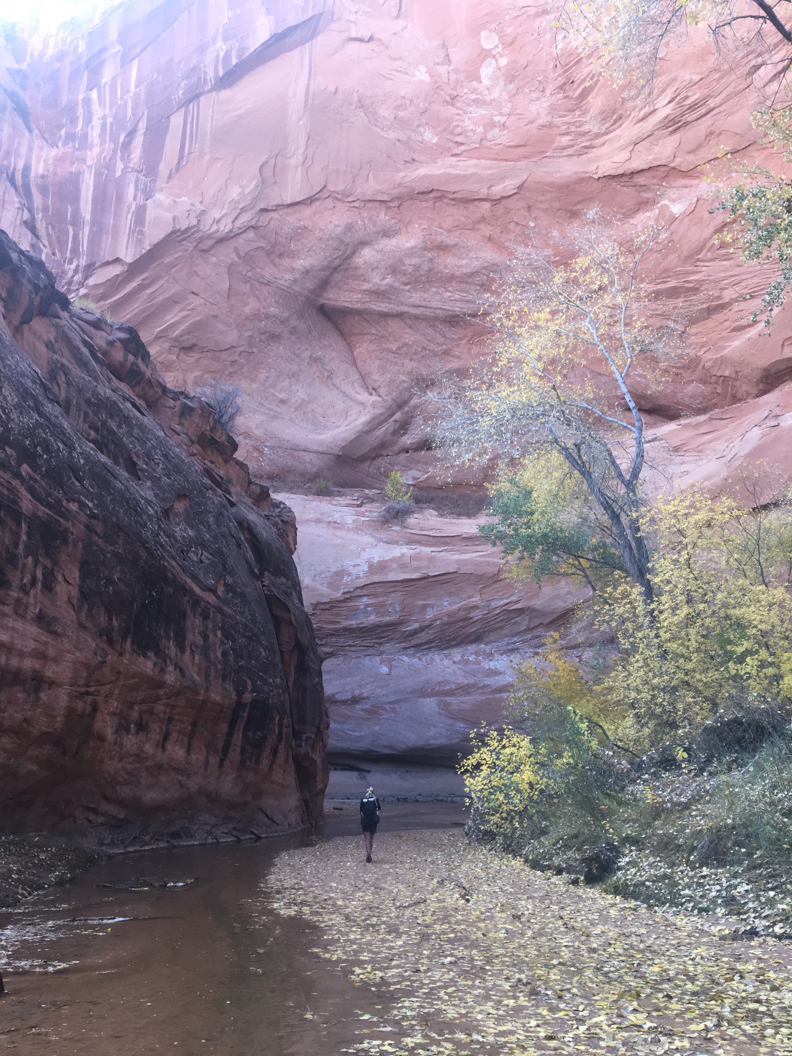
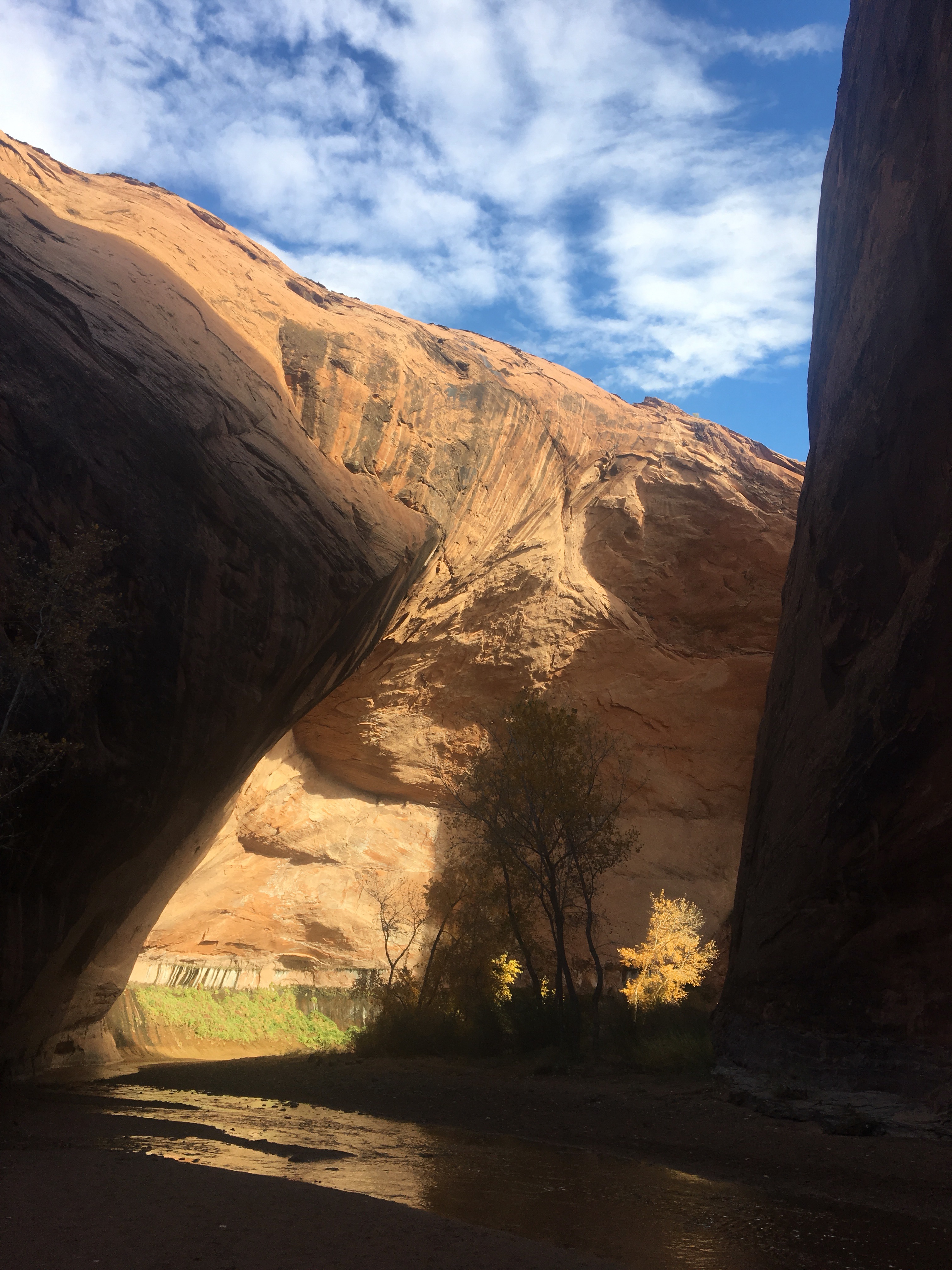
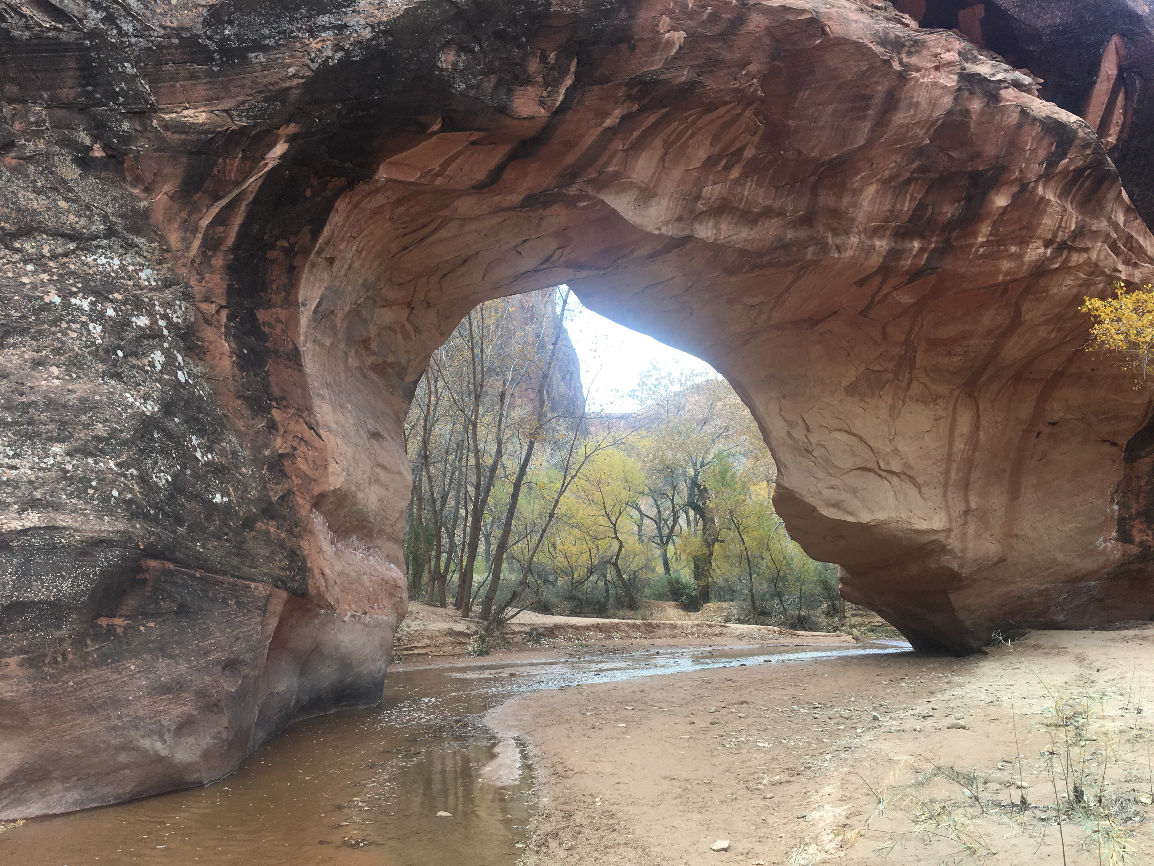
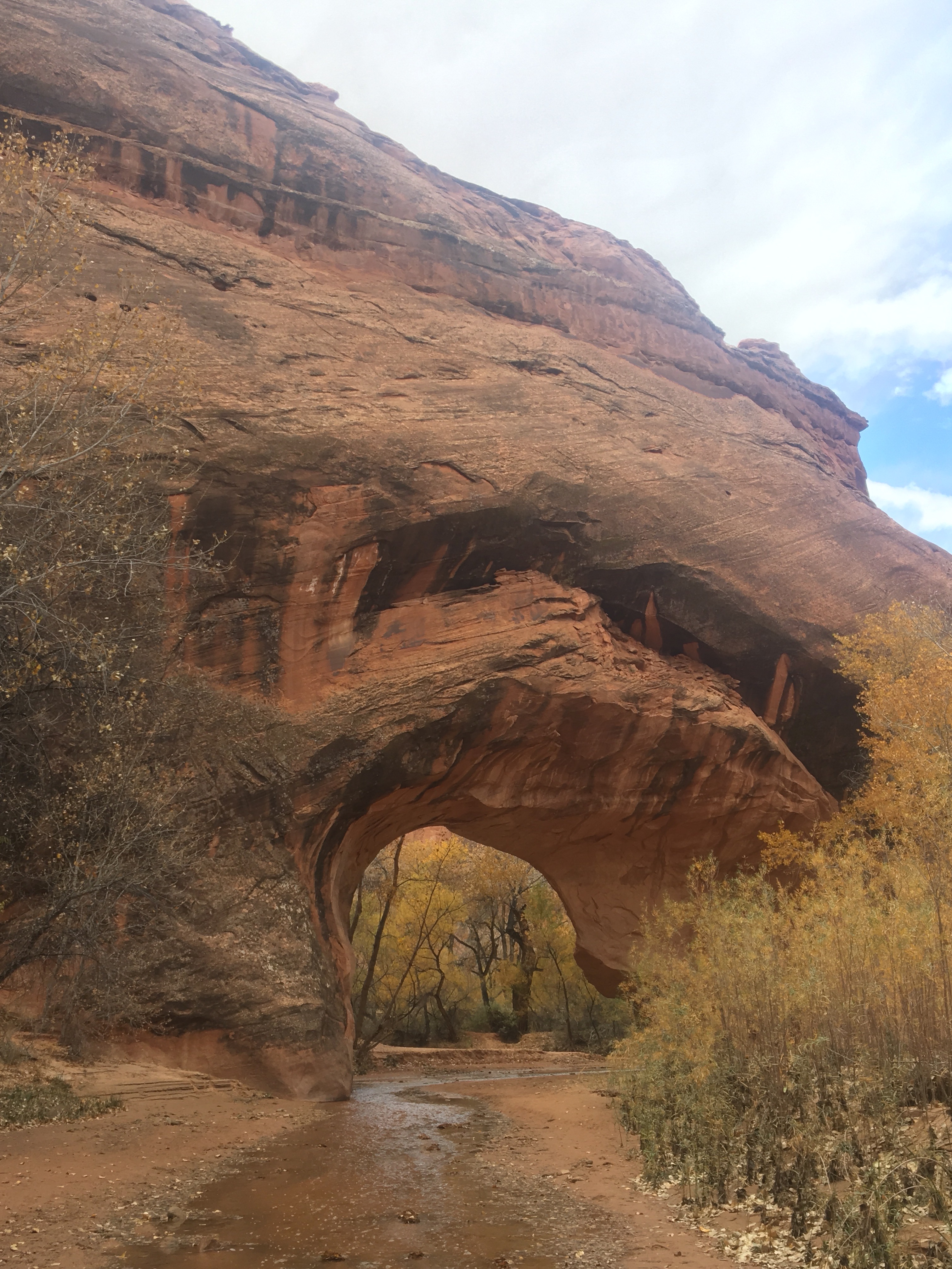
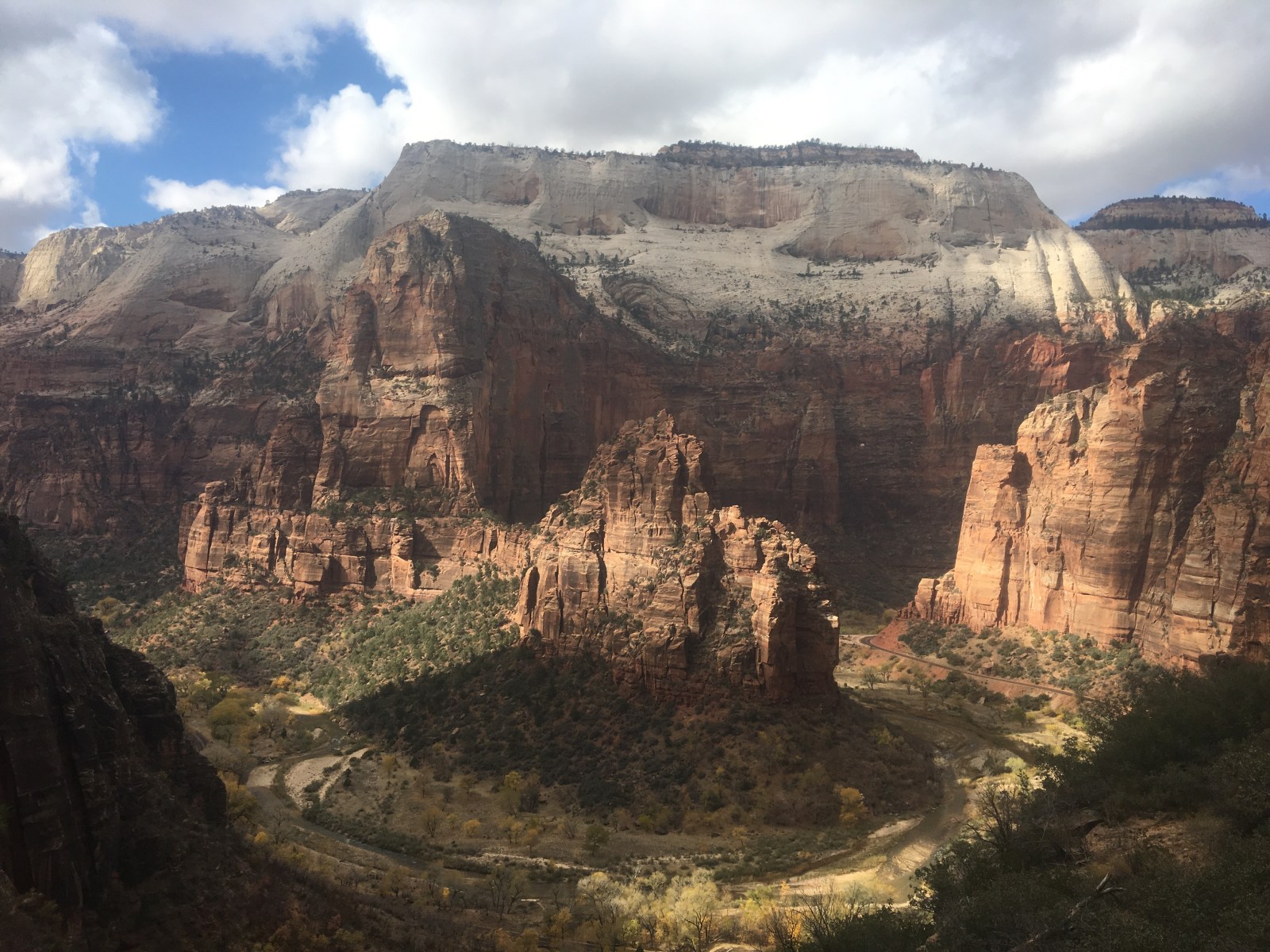
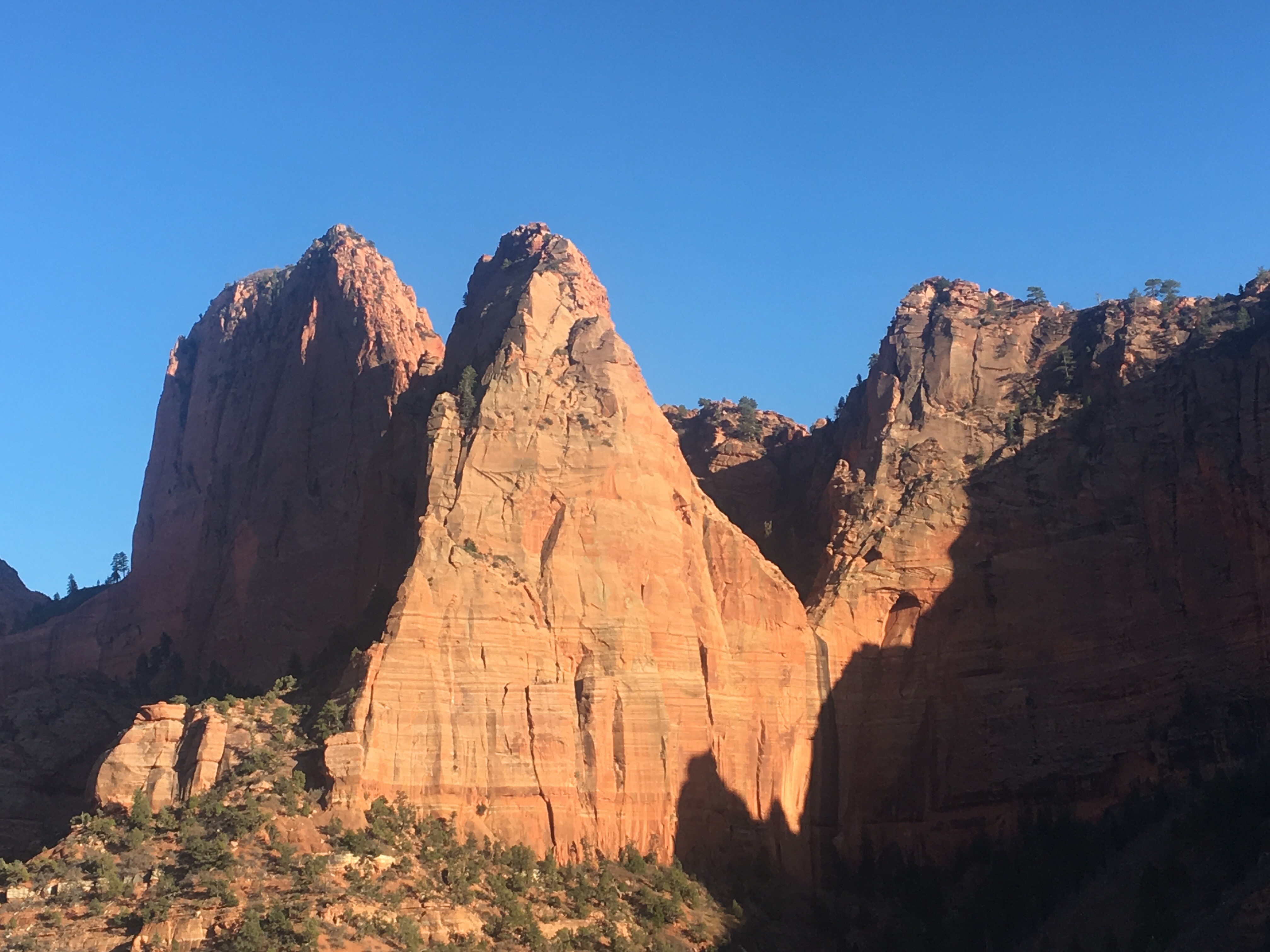
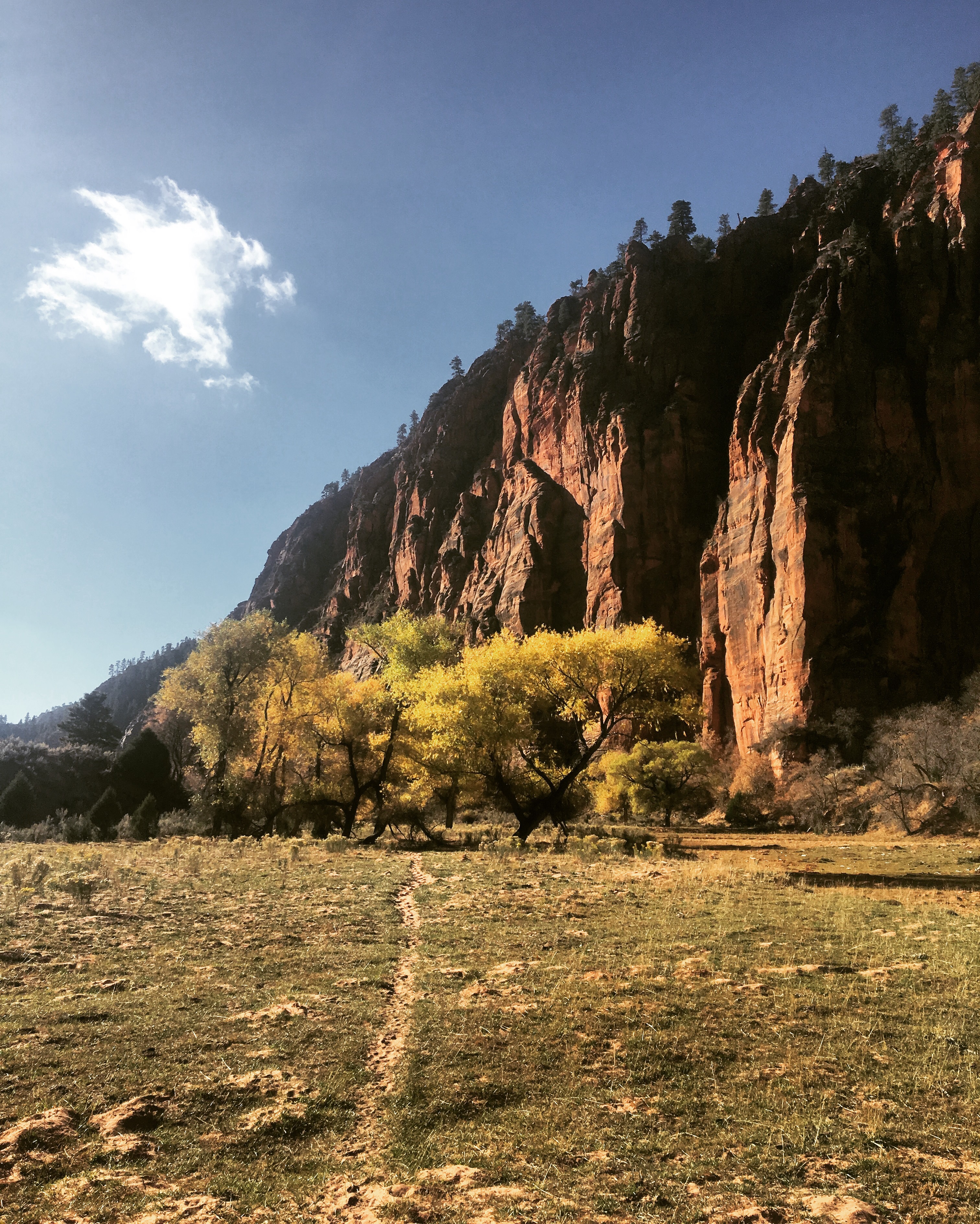
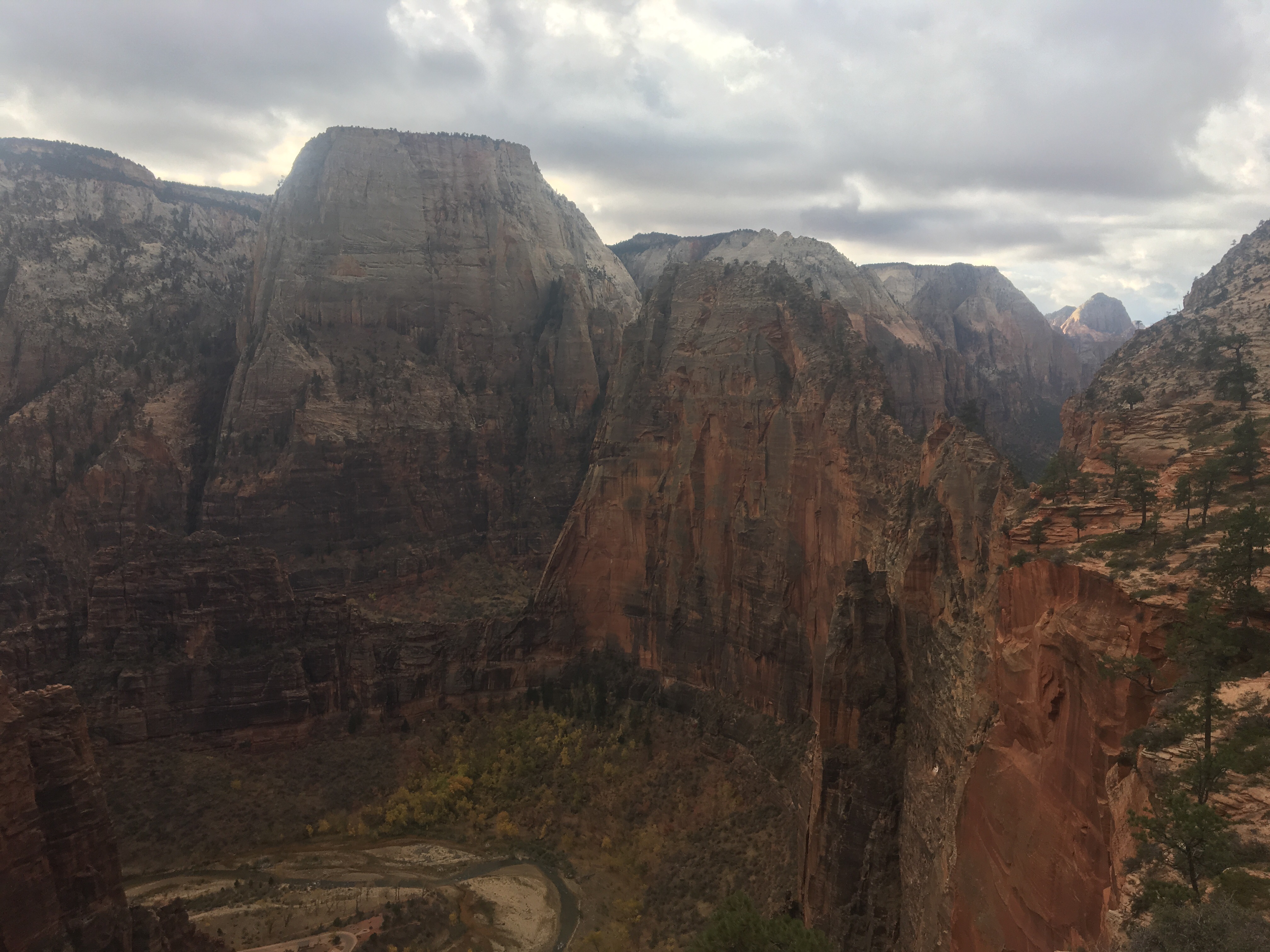
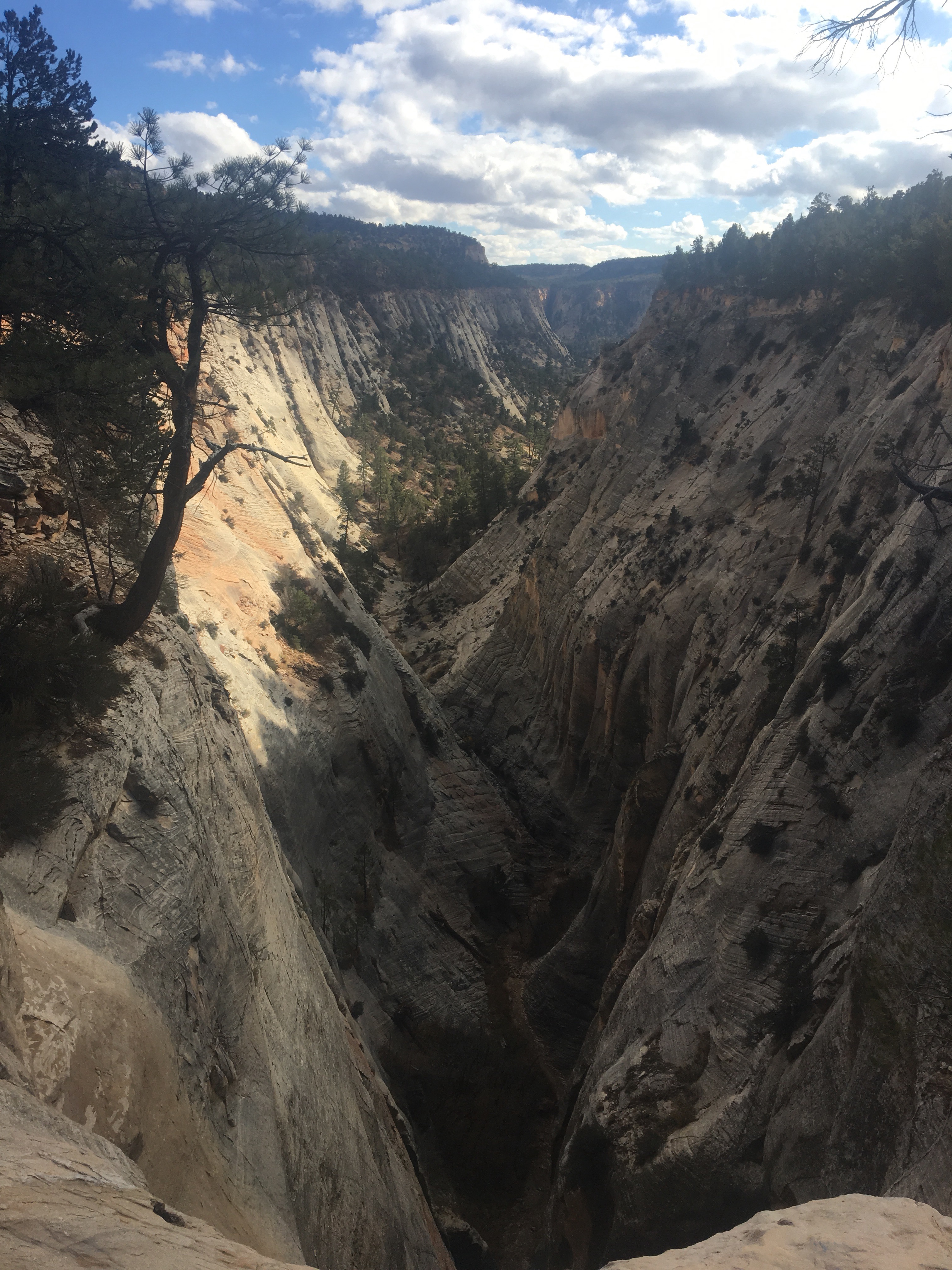
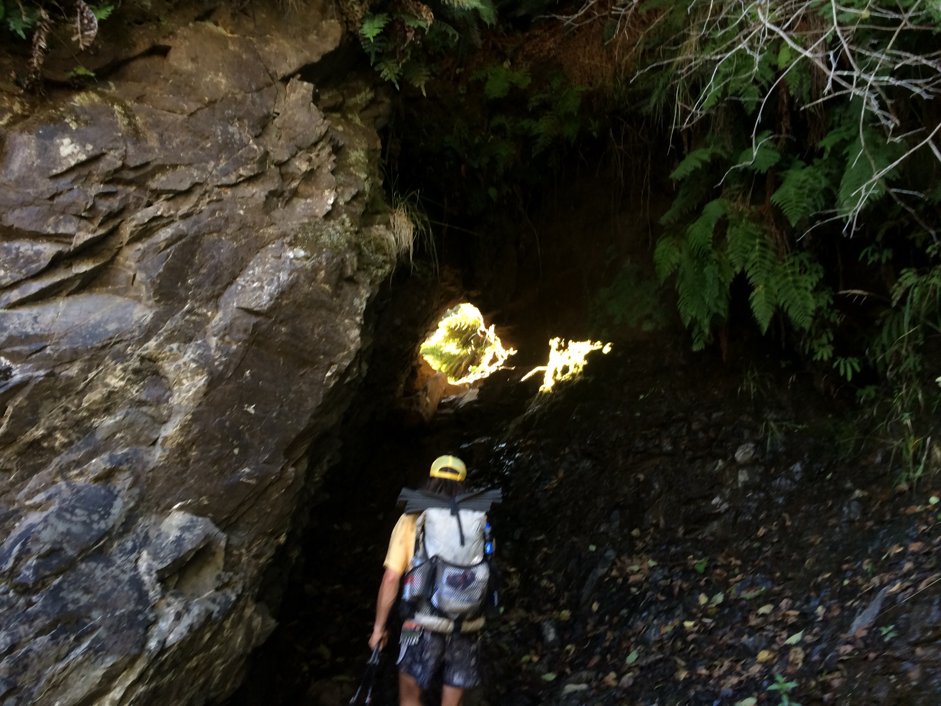
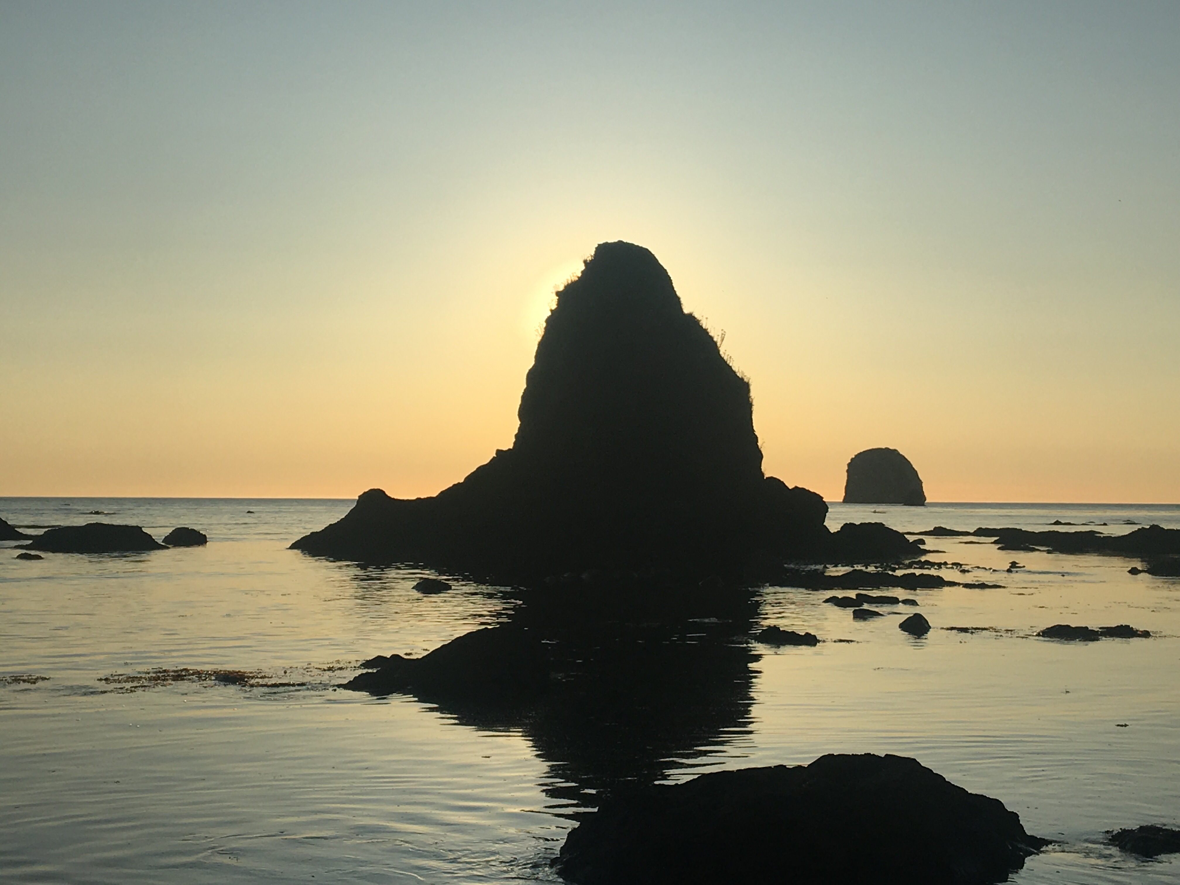
I’m on the brink of a bit of an adventure. Starting in a couple days I plan on hiking north on the Arizona Trail for the next month or so. The Arizona Trail or the AZT is a national scenic trail that stretches 800 miles from the Mexican border to the Utah border. Right now I’m on a train from Boston to NY where I’ll stay with Queen B and then tomorrow the 2 of us will fly to Tucson. We’ll spend a night in Tucson before a trail angel gives us a ride to the border on Friday.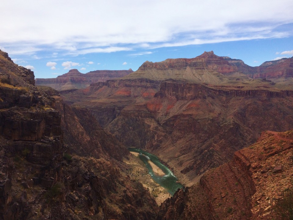 Grand Canyon, Arizona 11/17
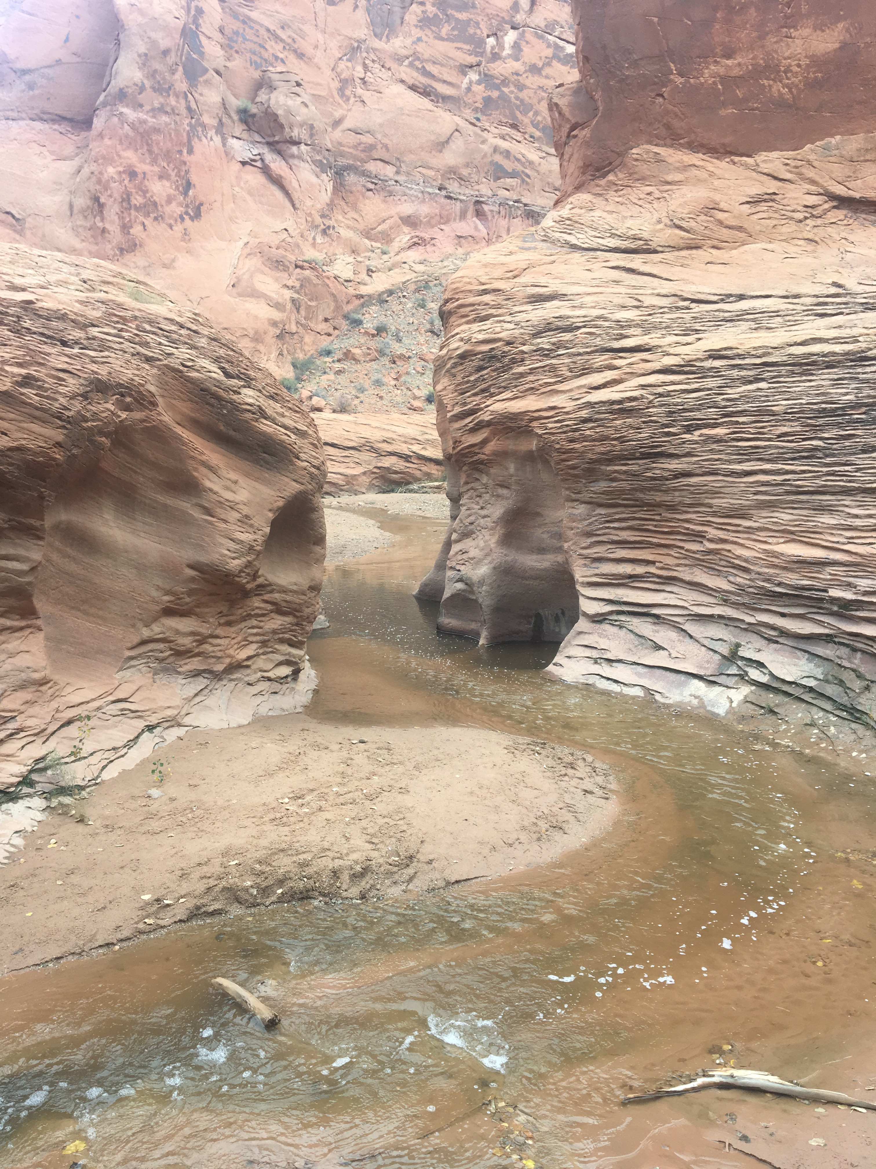
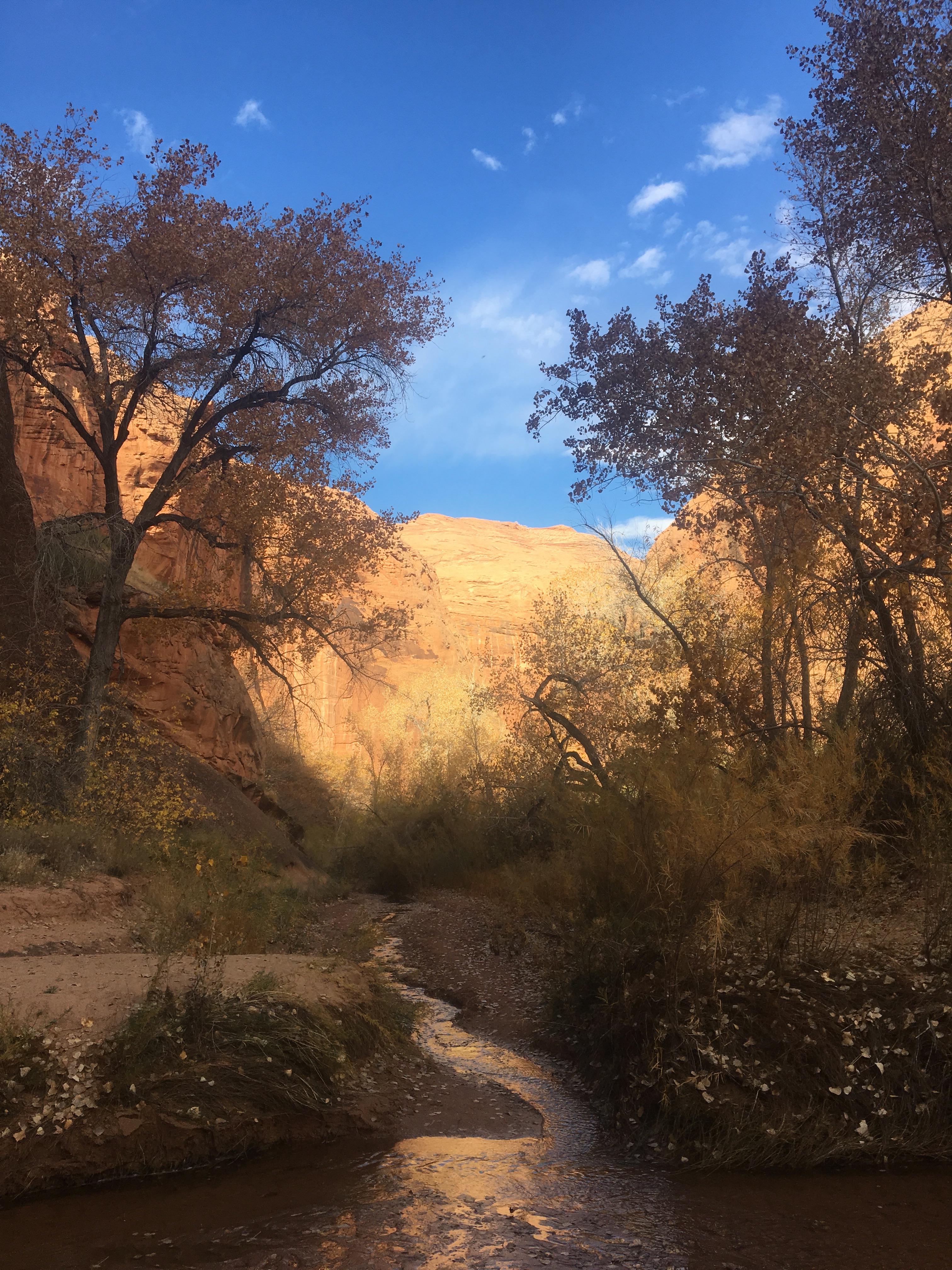
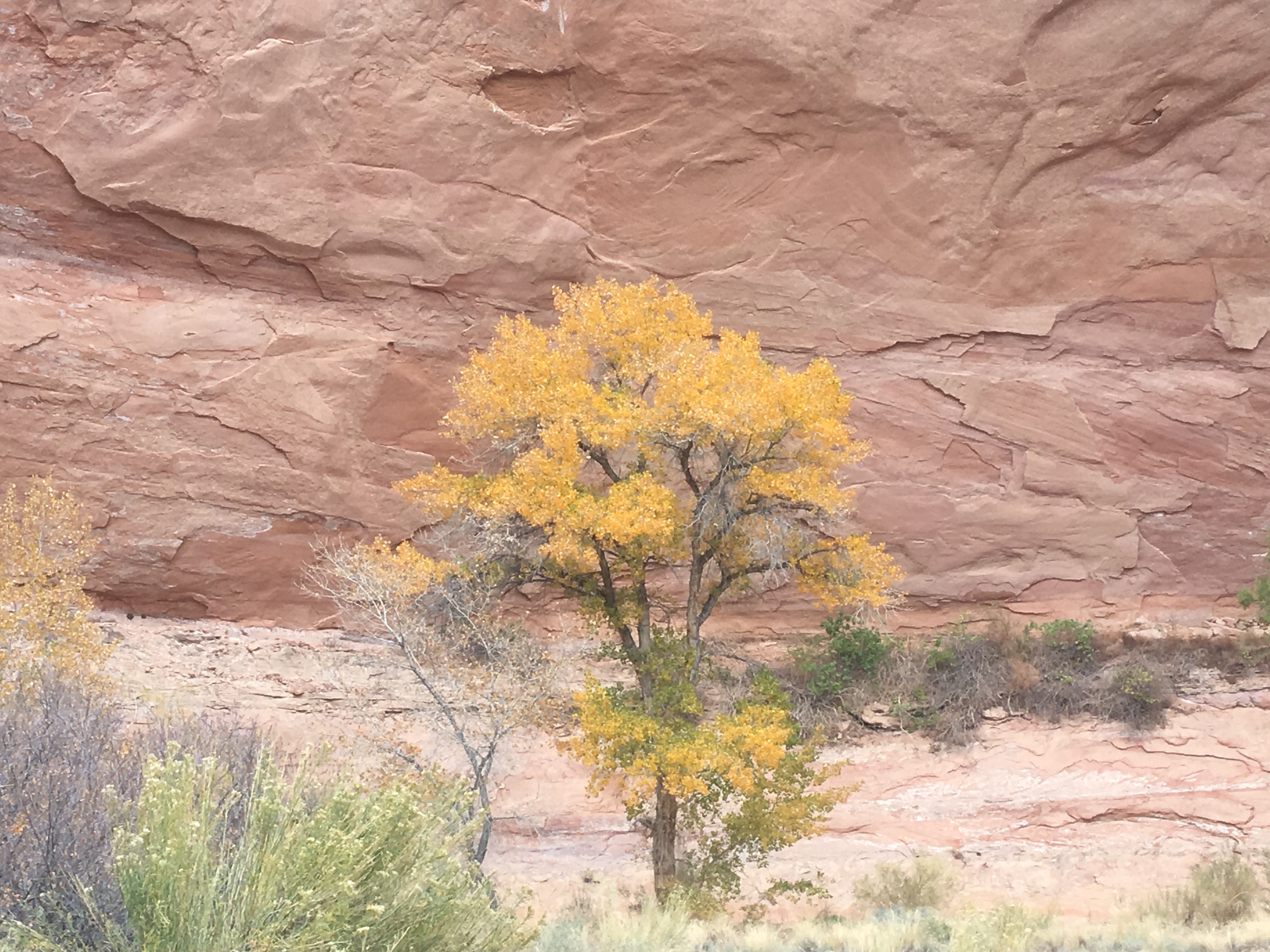
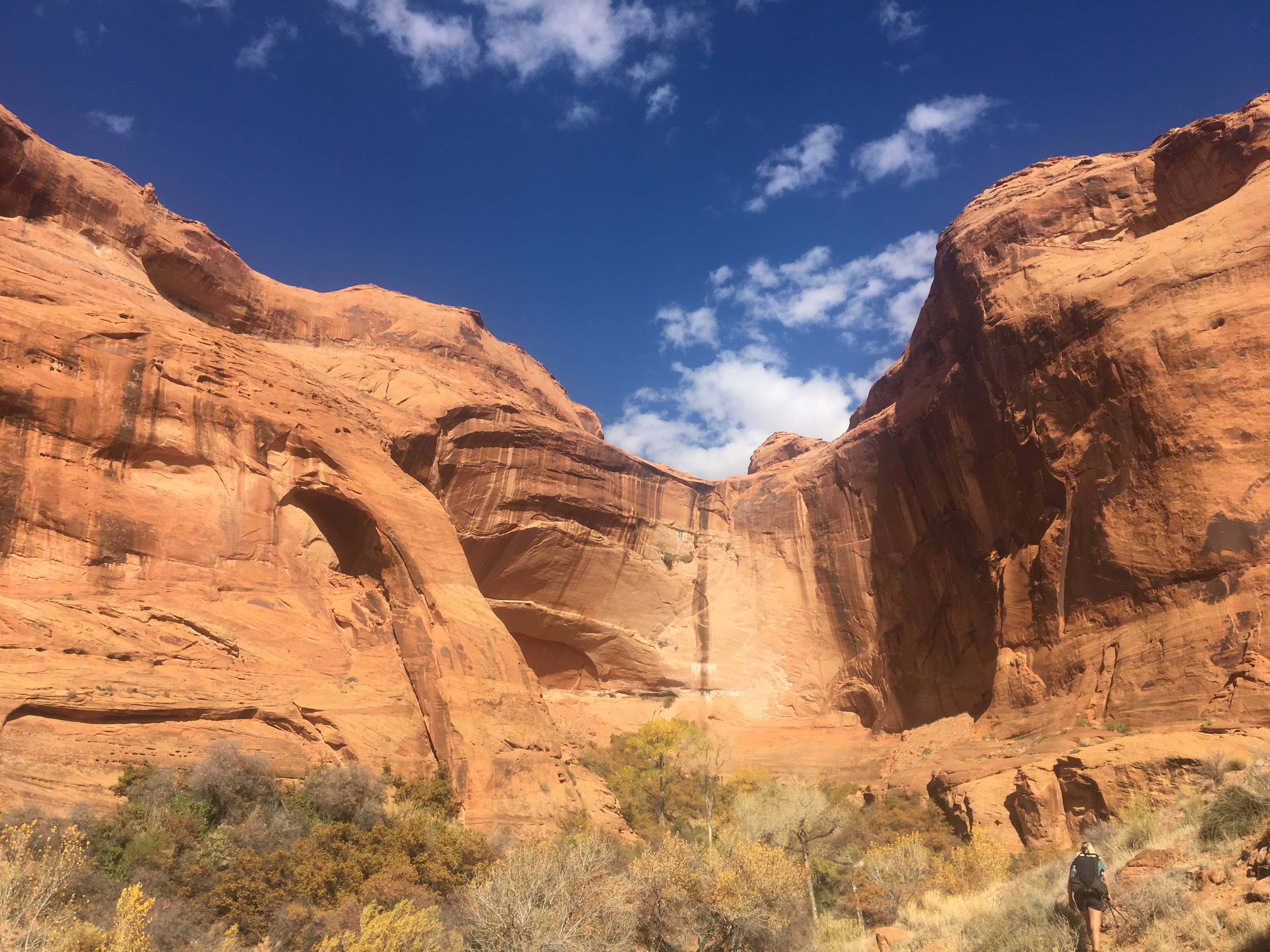
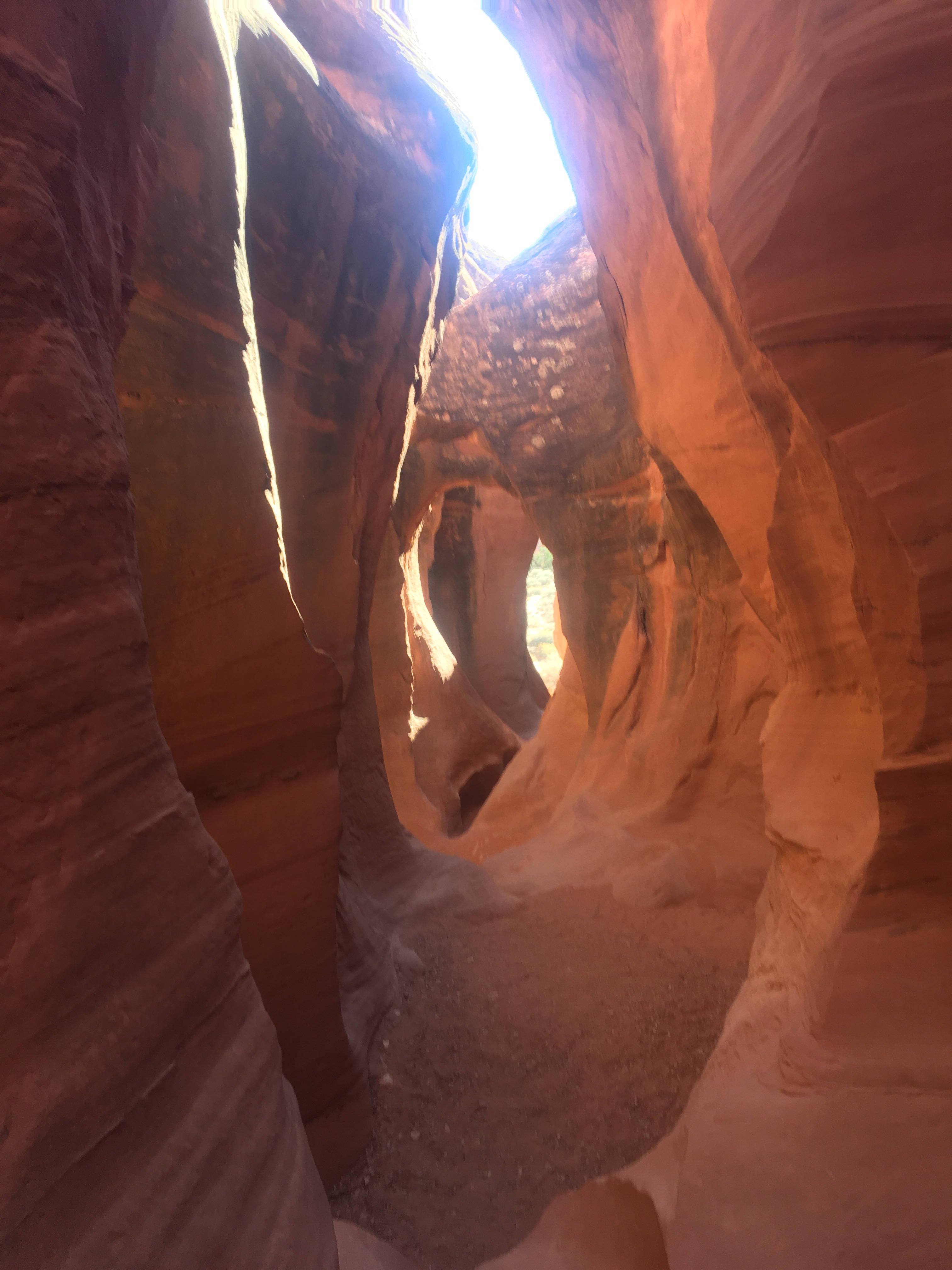
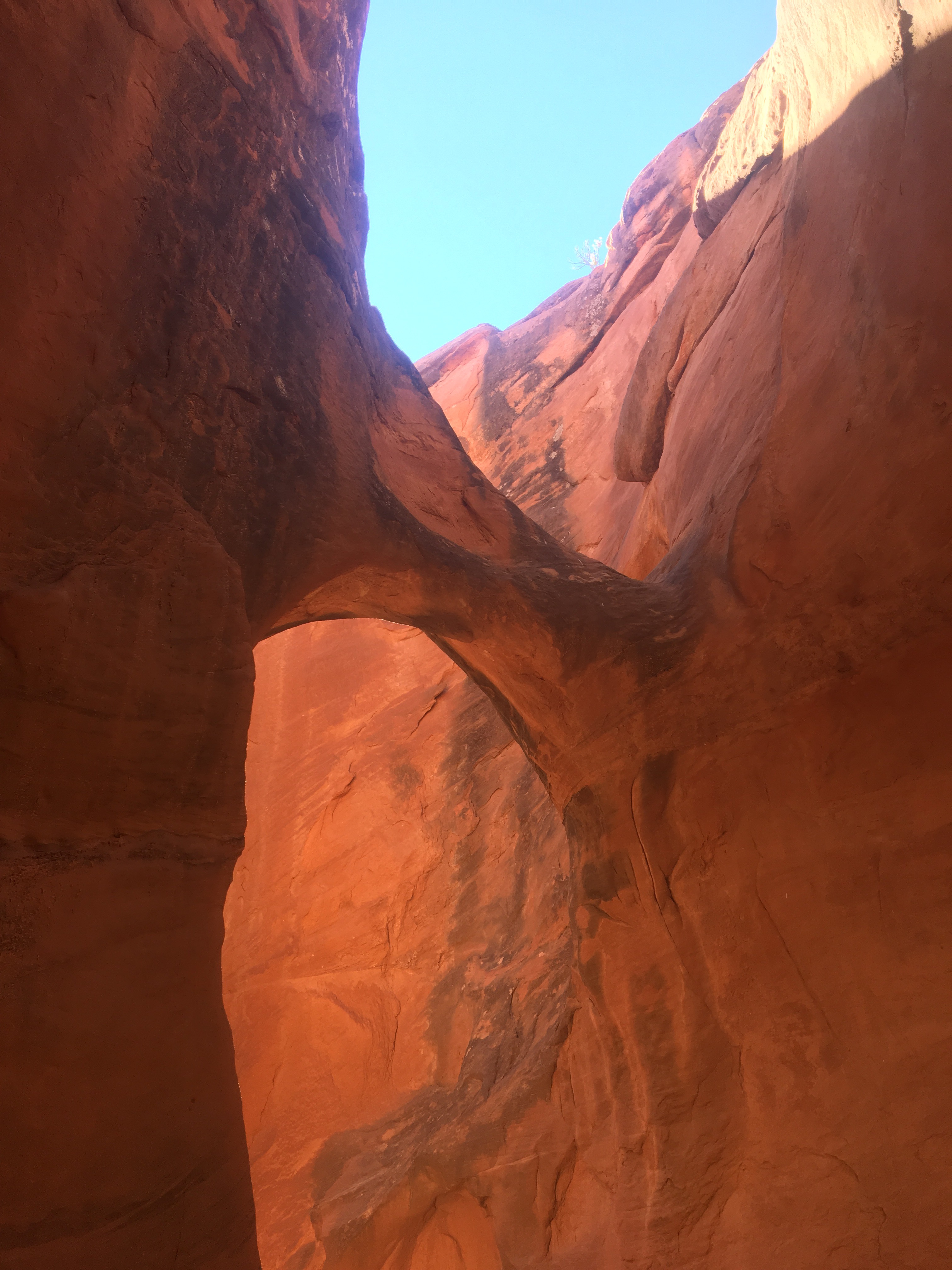
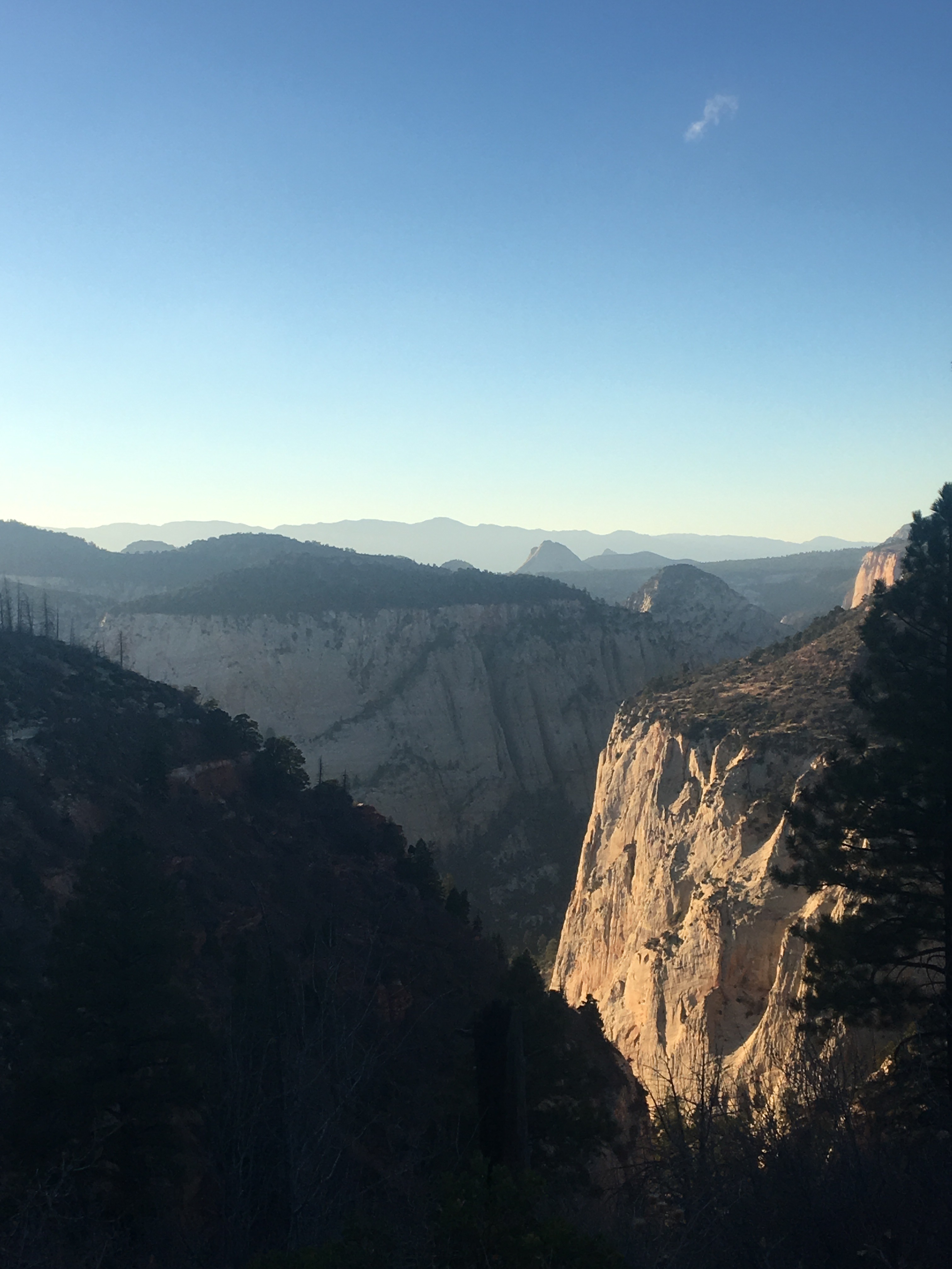
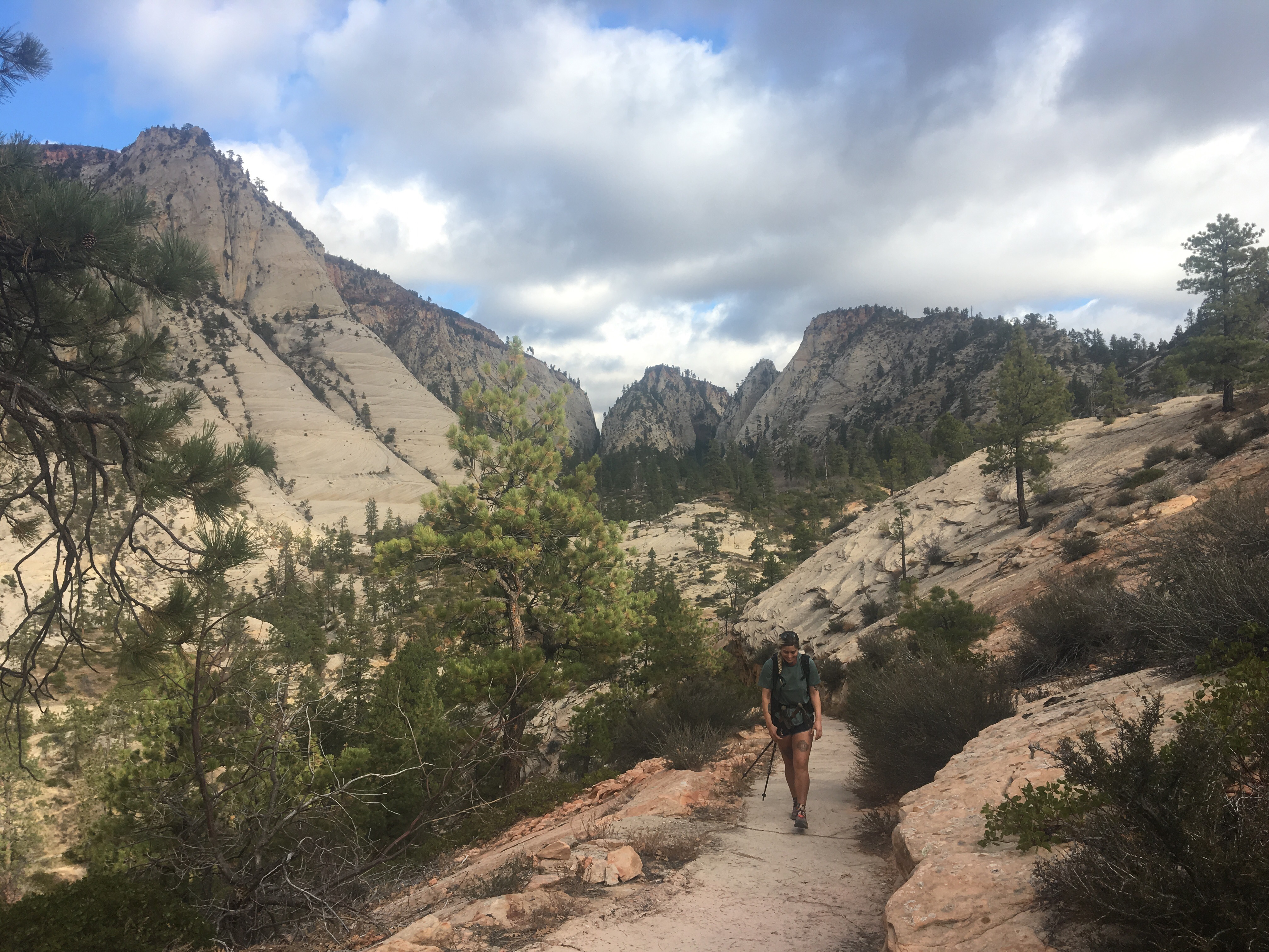
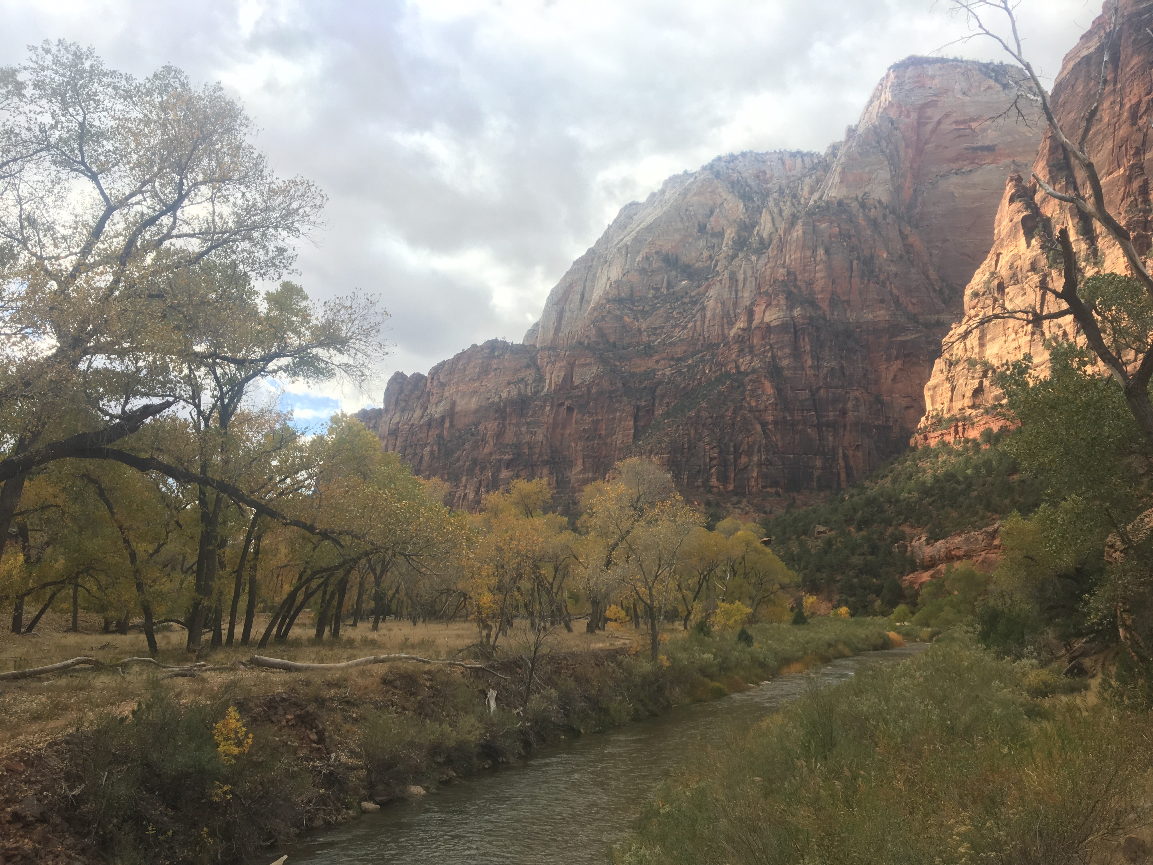
Our plan is to get as much(hopefully all) of the trail done as possible by mid April. We have a flight from NY to Kathmandu on April 16th so we’d like to somehow get to Vegas by the 13th or 14th and then secure a flight back to NY from there. Originally I was supposed to take a bus today but because of a nor’easter in the Northeast of all places, all of the buses were cancelled and I had to get a last minute train. Hopefully nobody gets murdered on this thing because they’d probably ask me to solve it since I watched half of ‘Murder on the Orient Express’ last night and obviously am the most qualified.
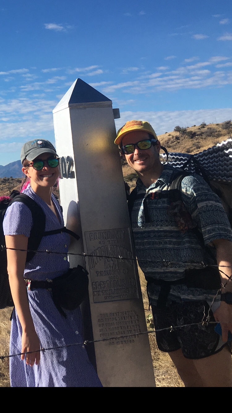
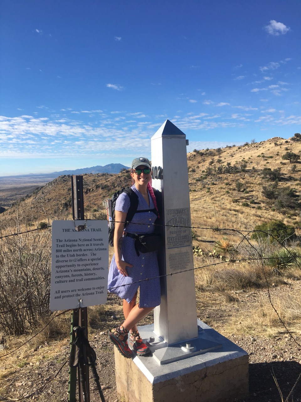
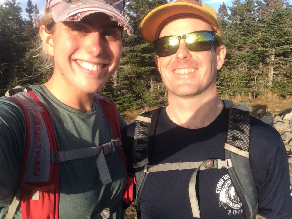
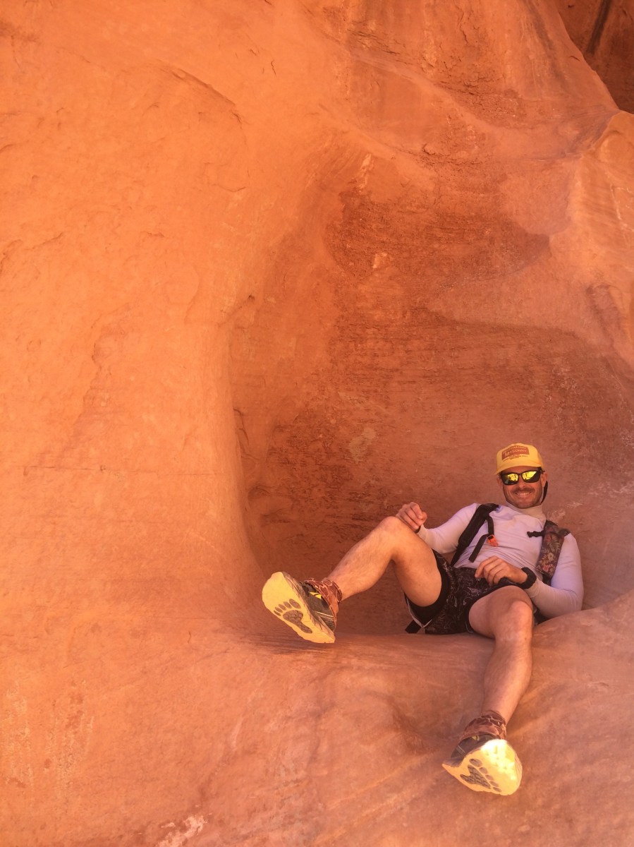
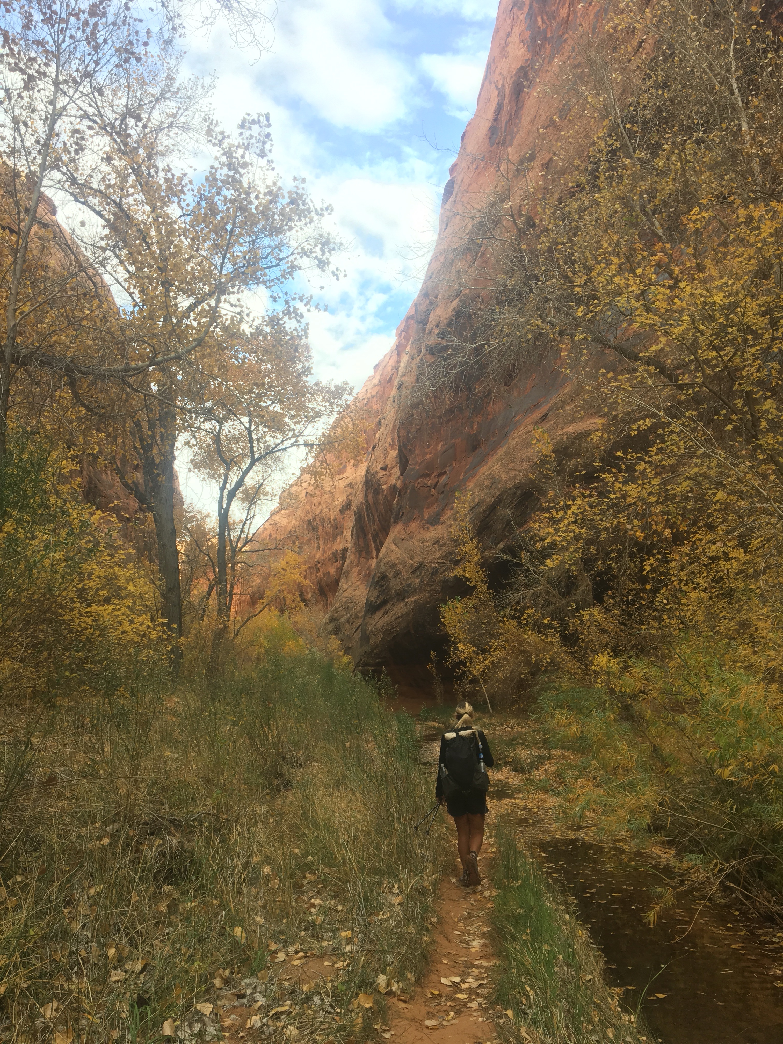
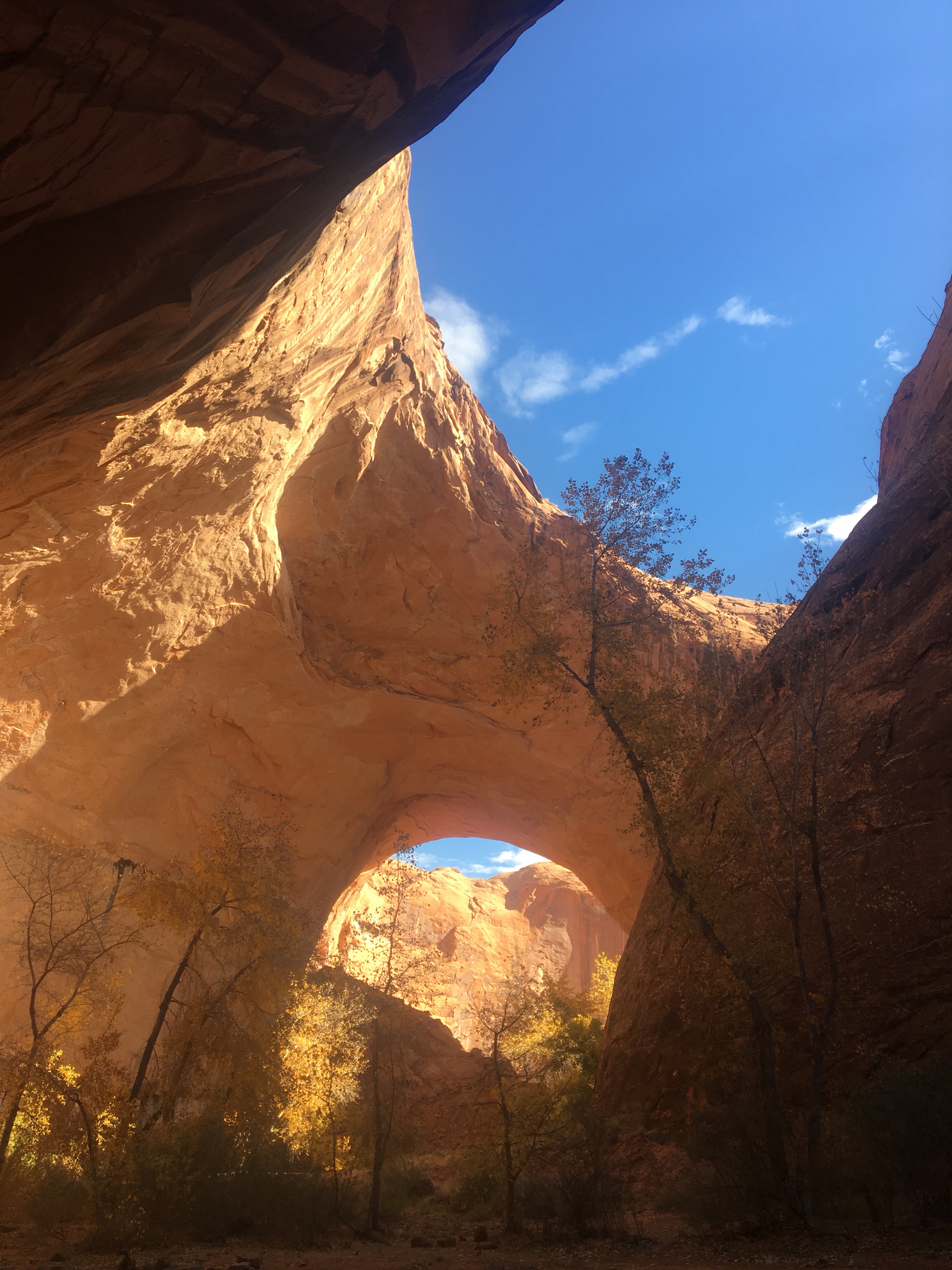
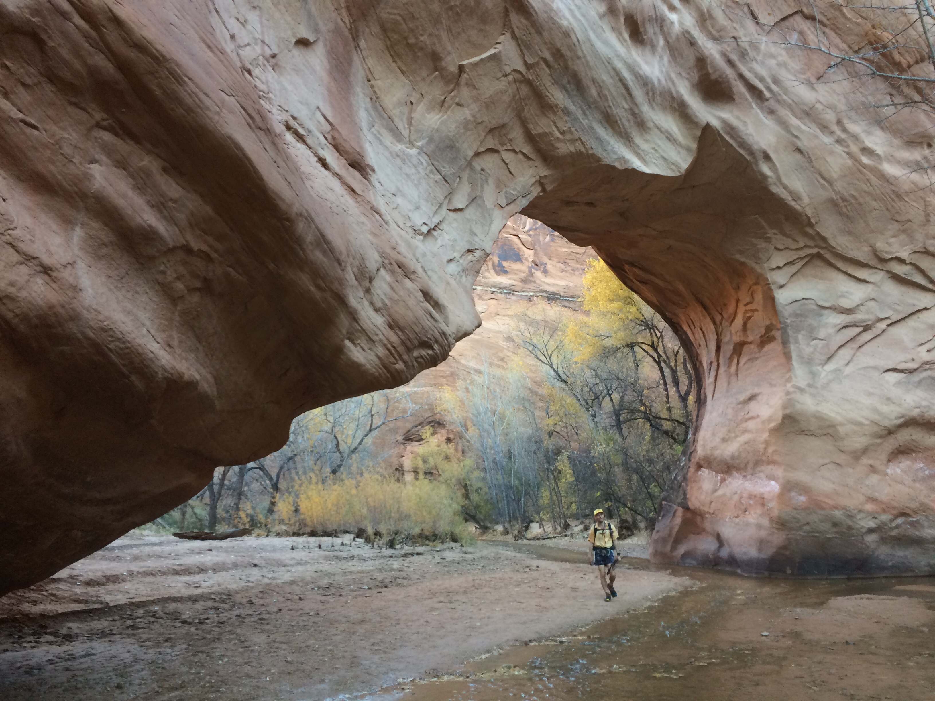
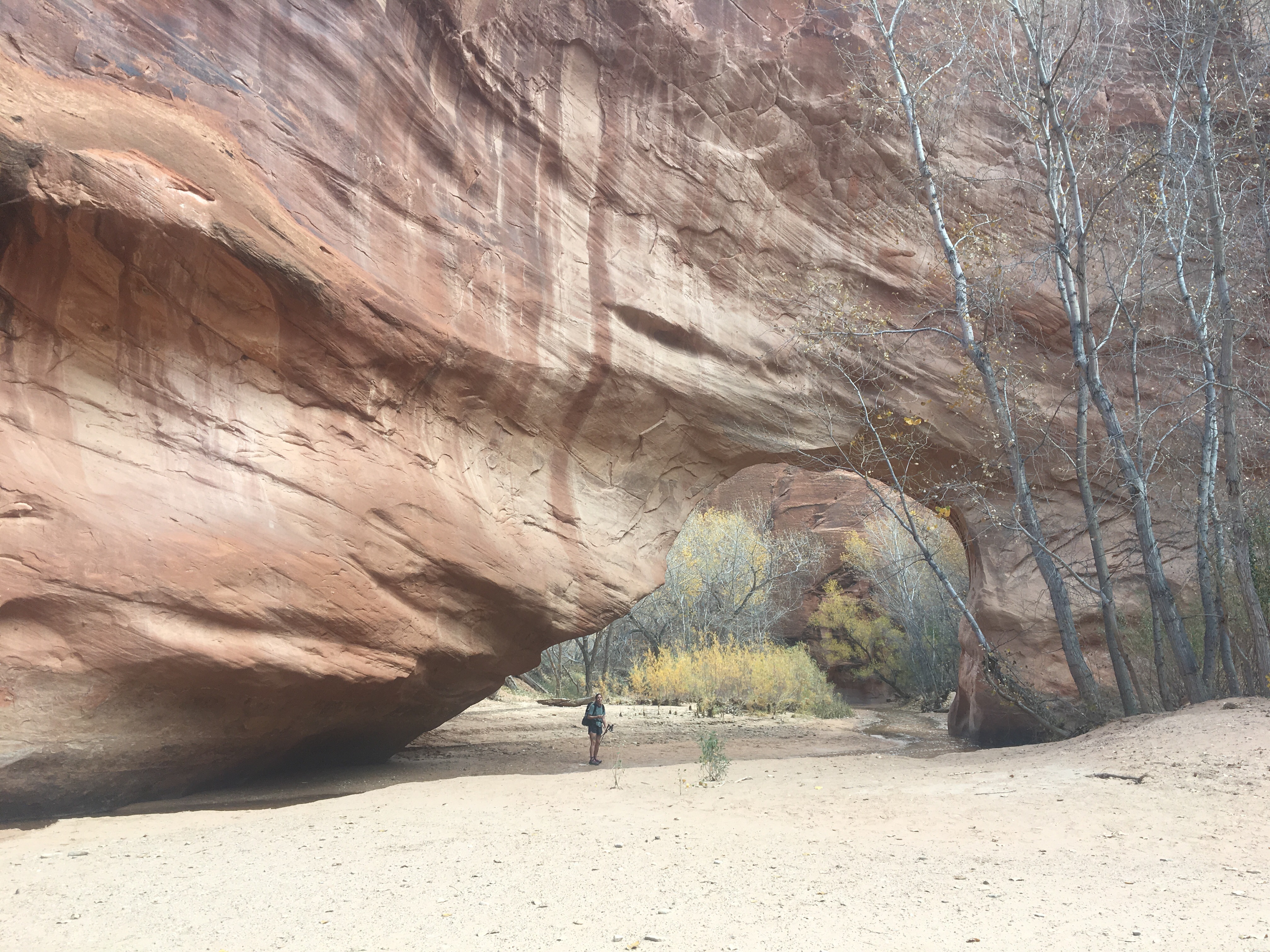
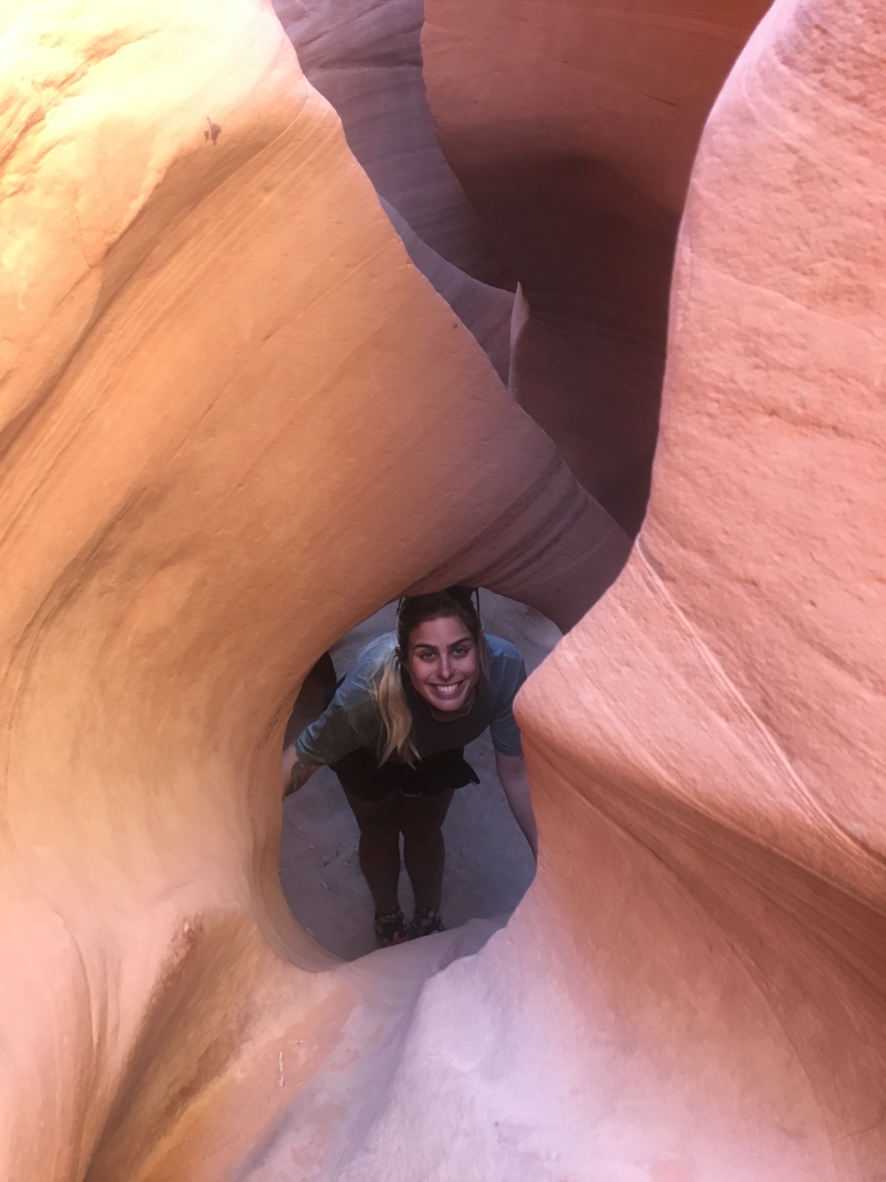
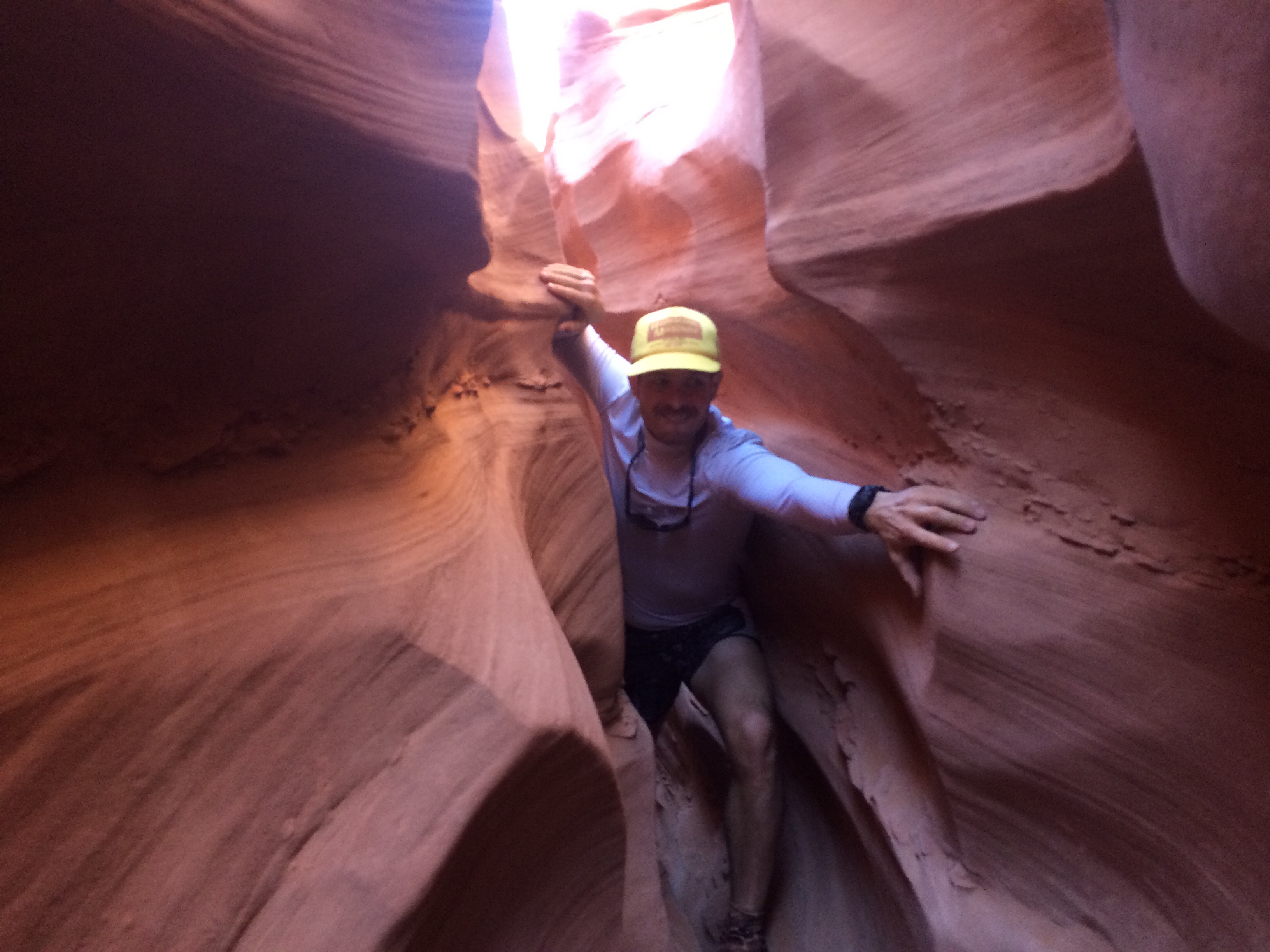
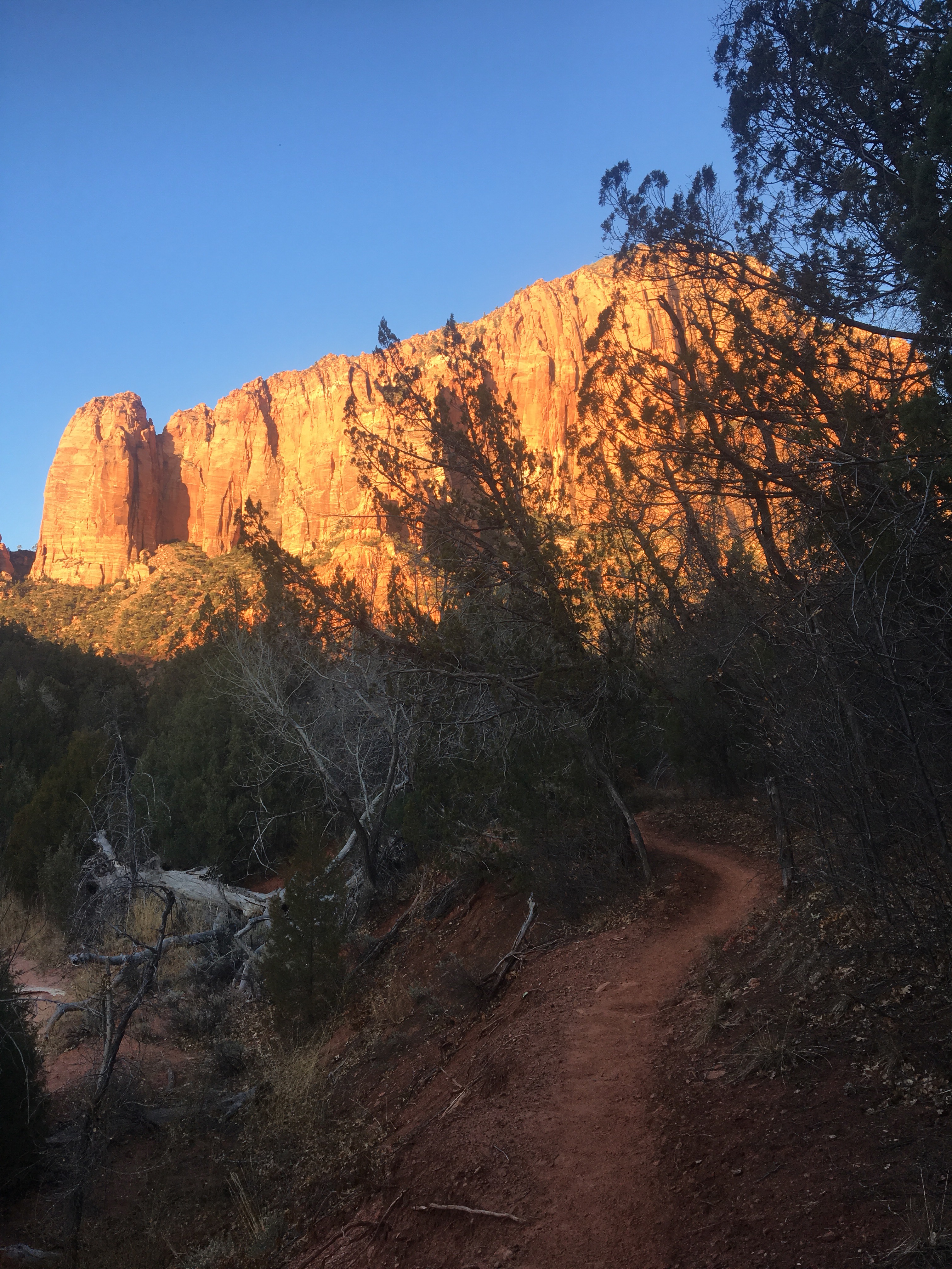
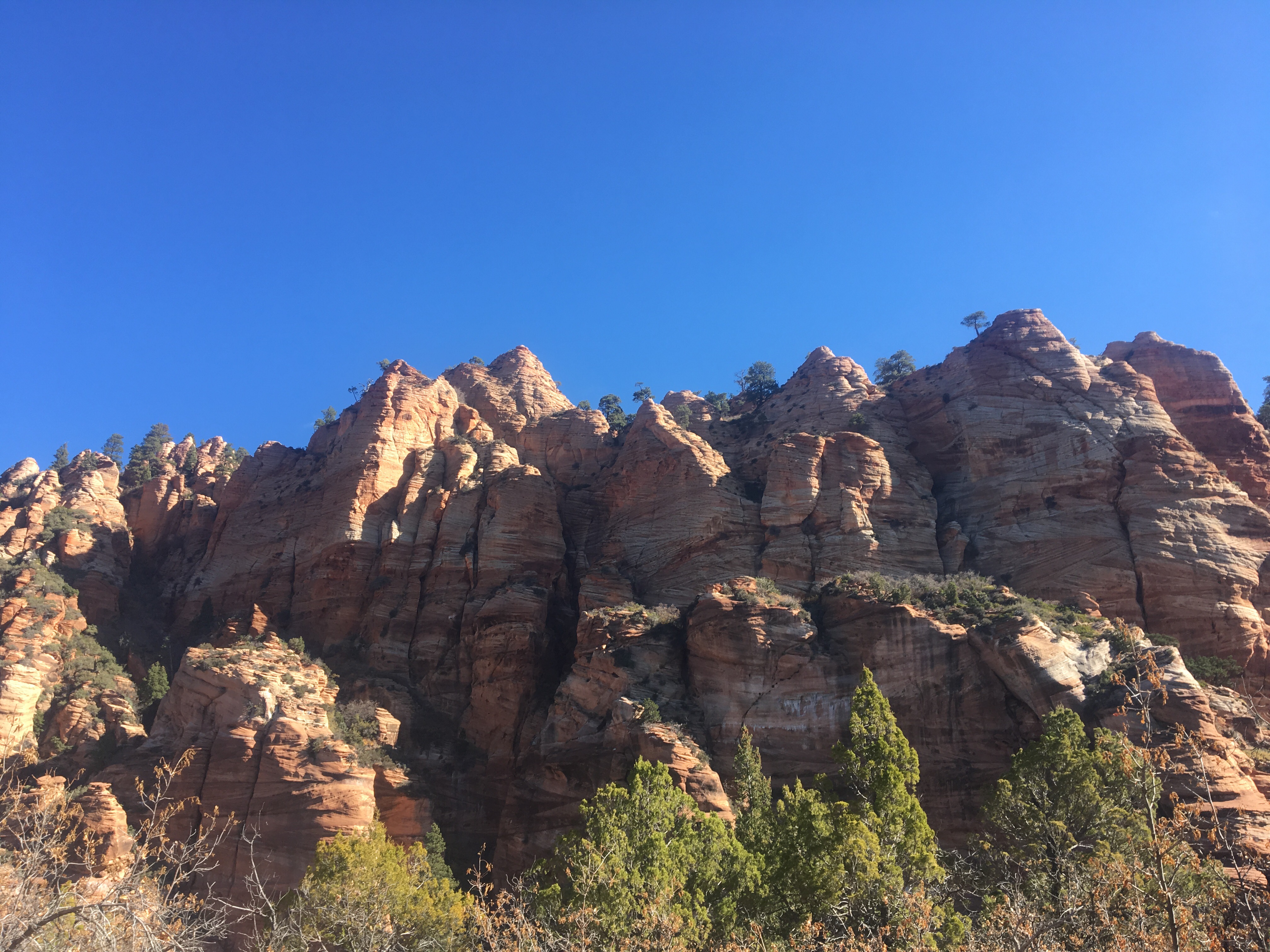
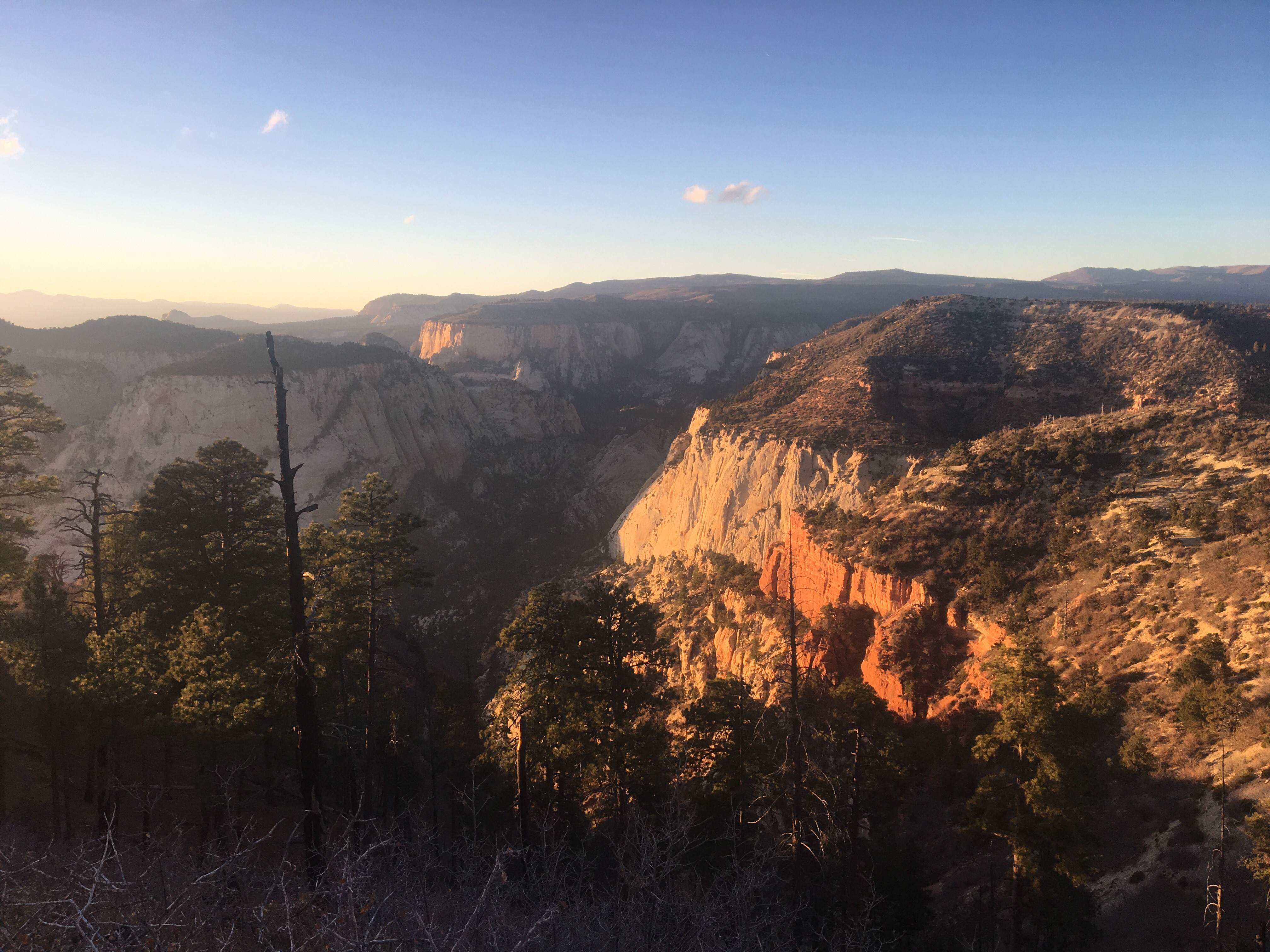
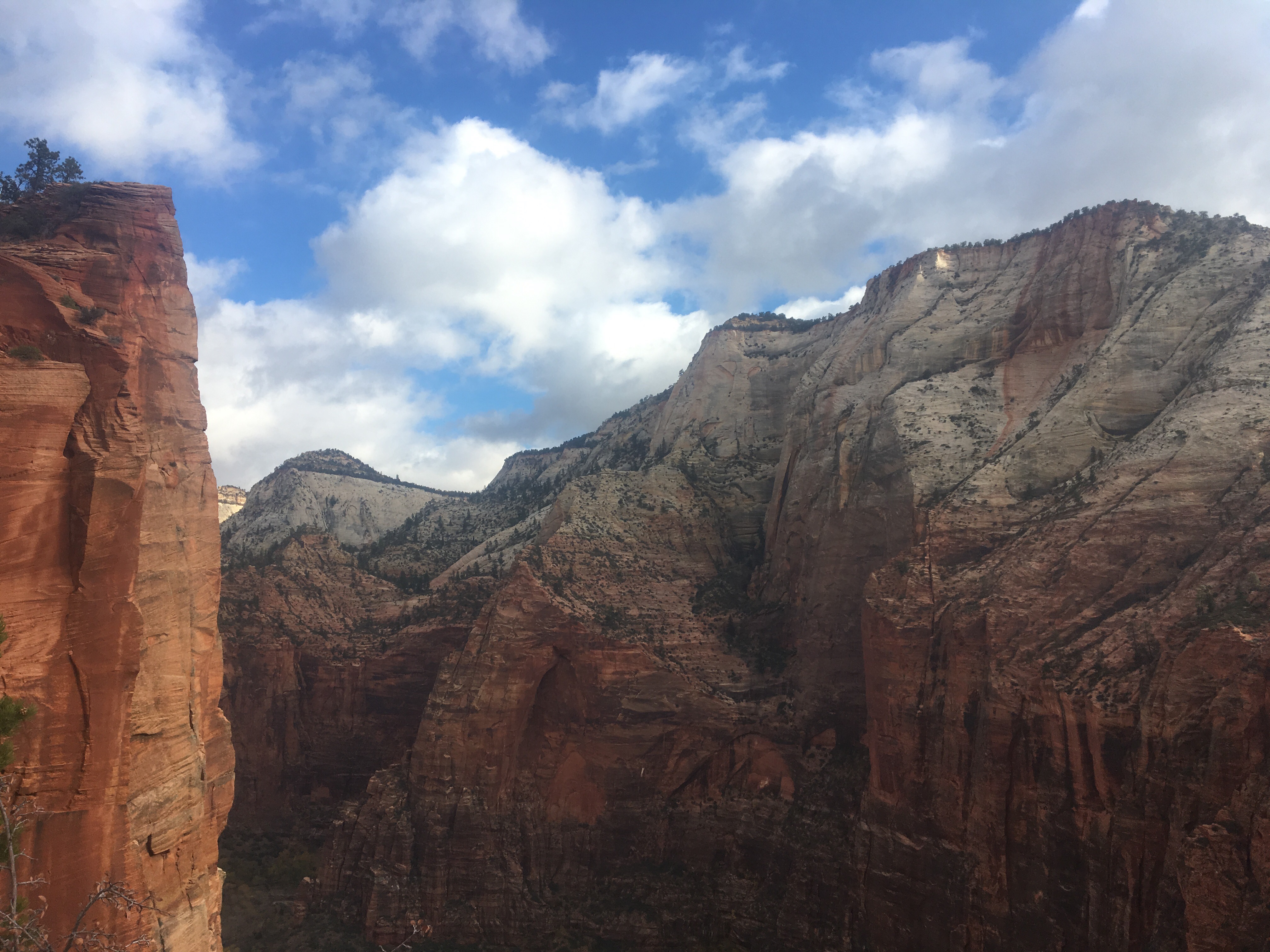
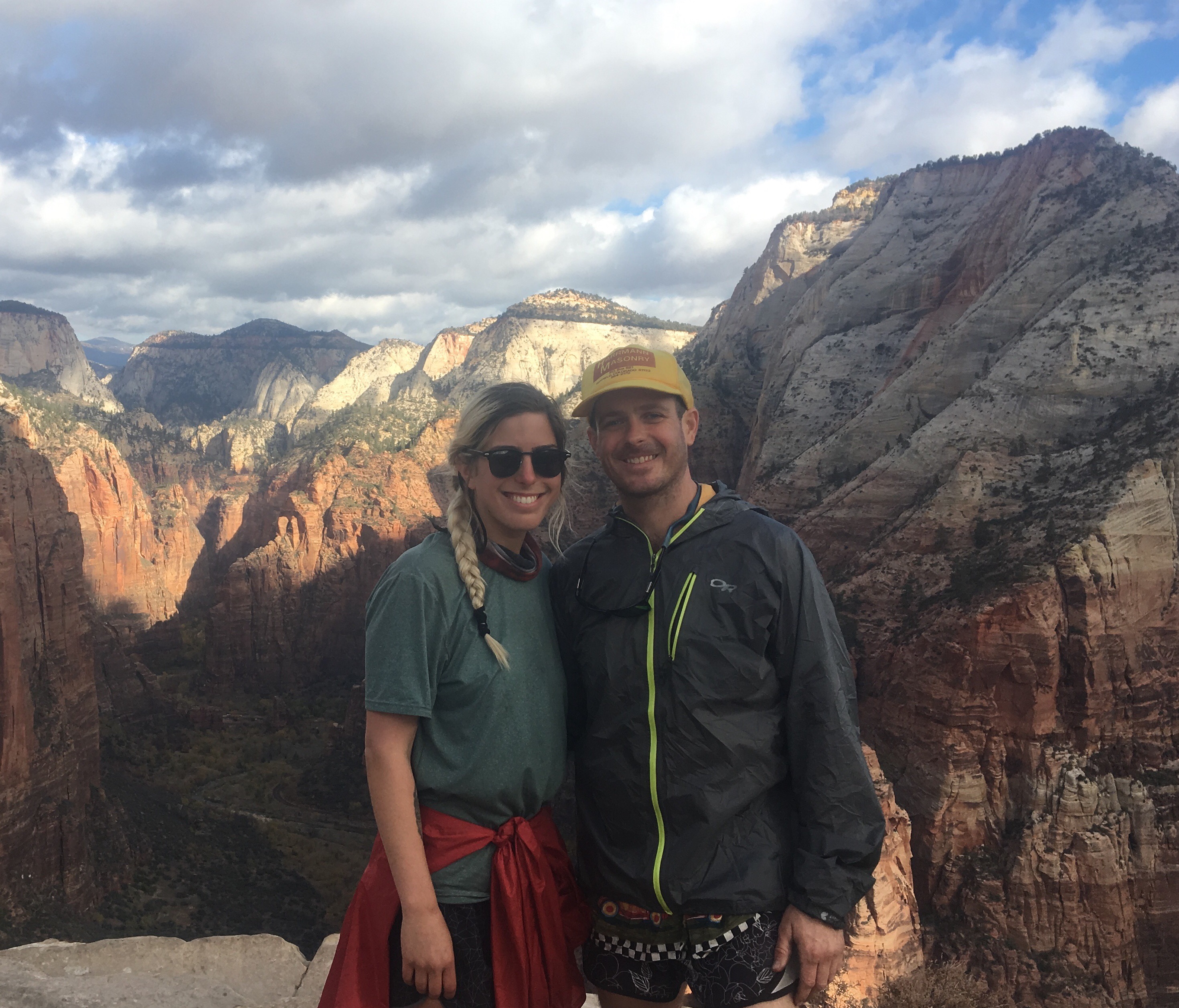
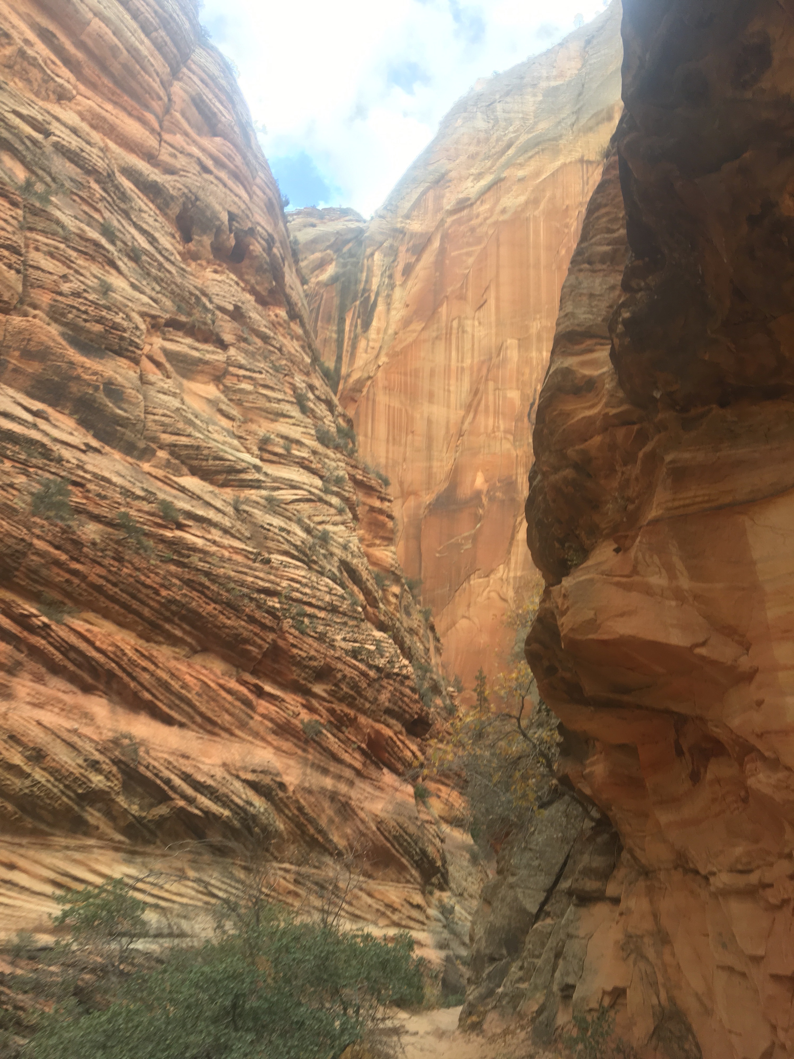
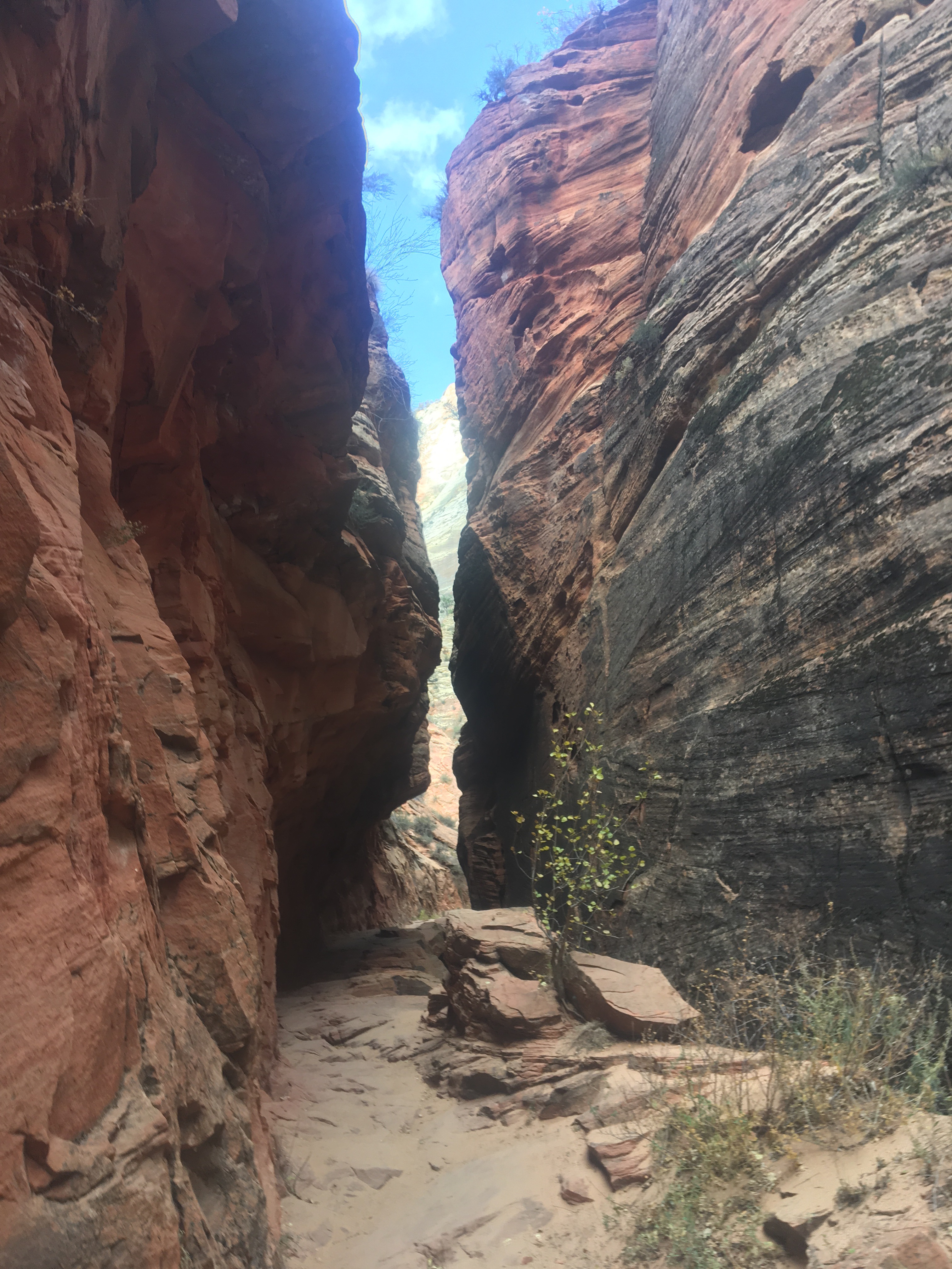
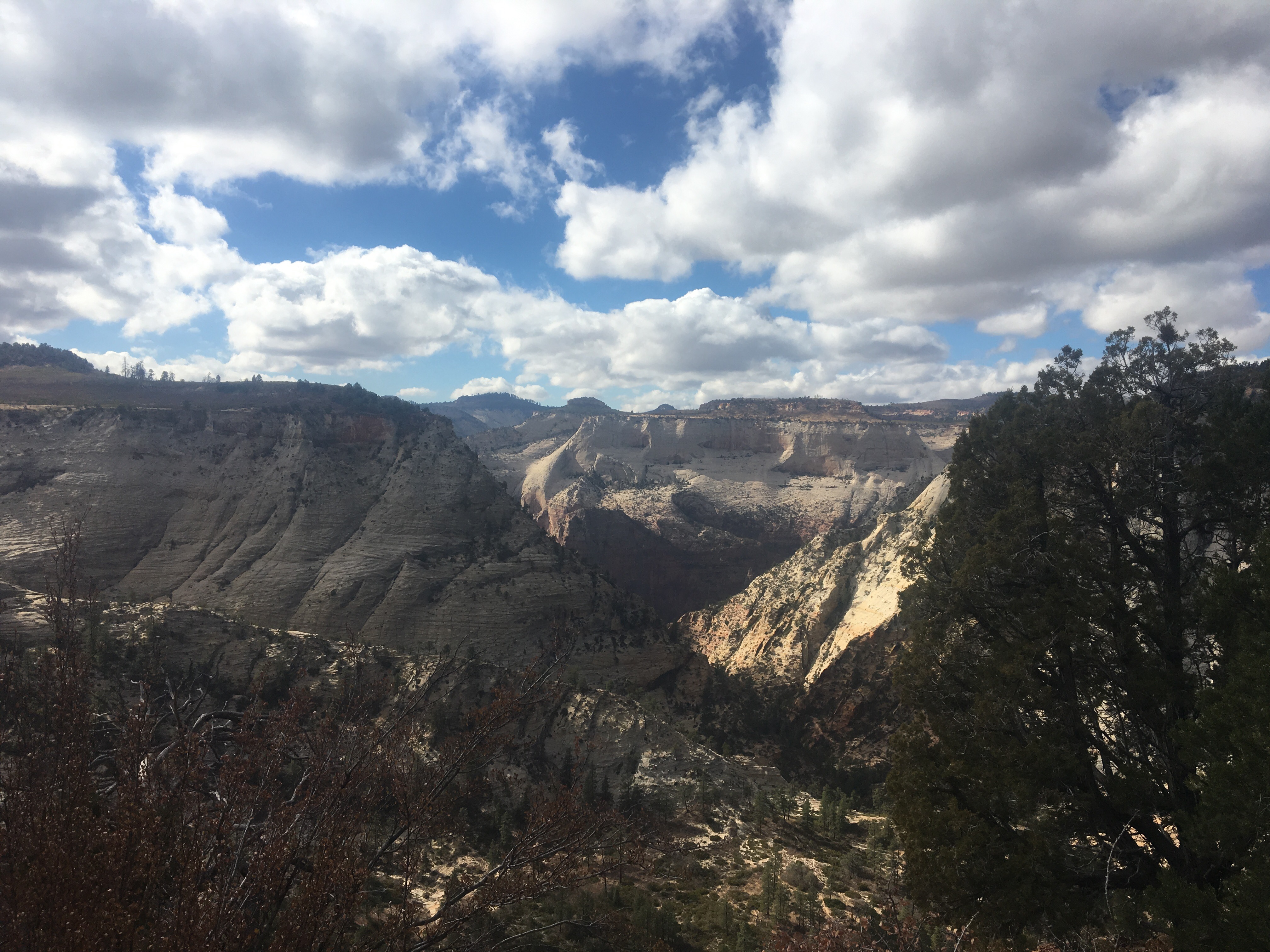
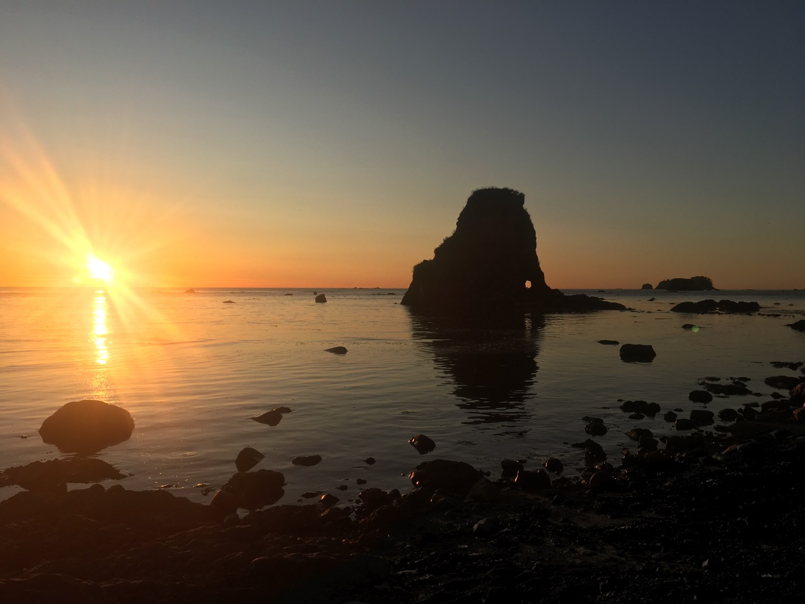
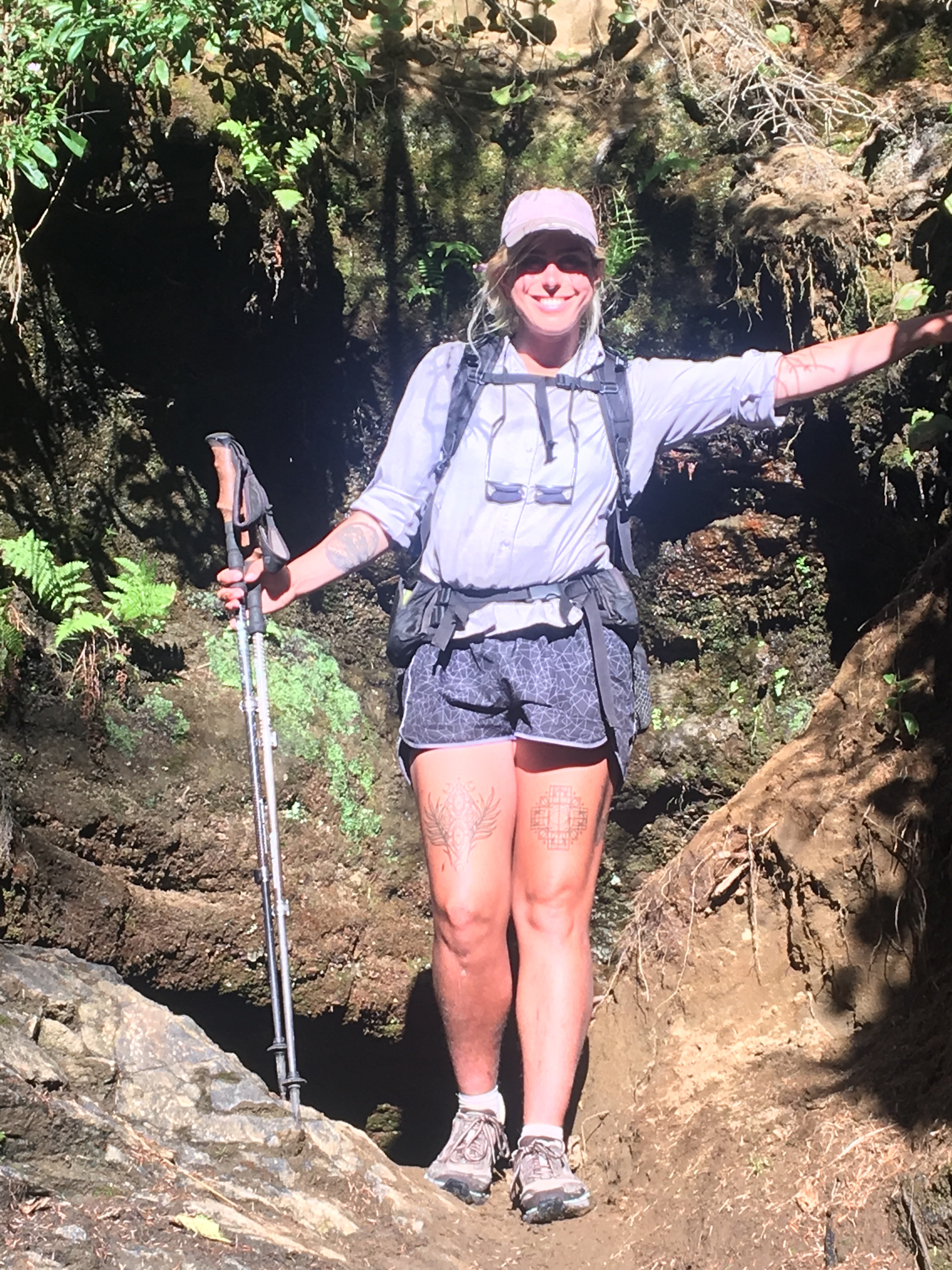
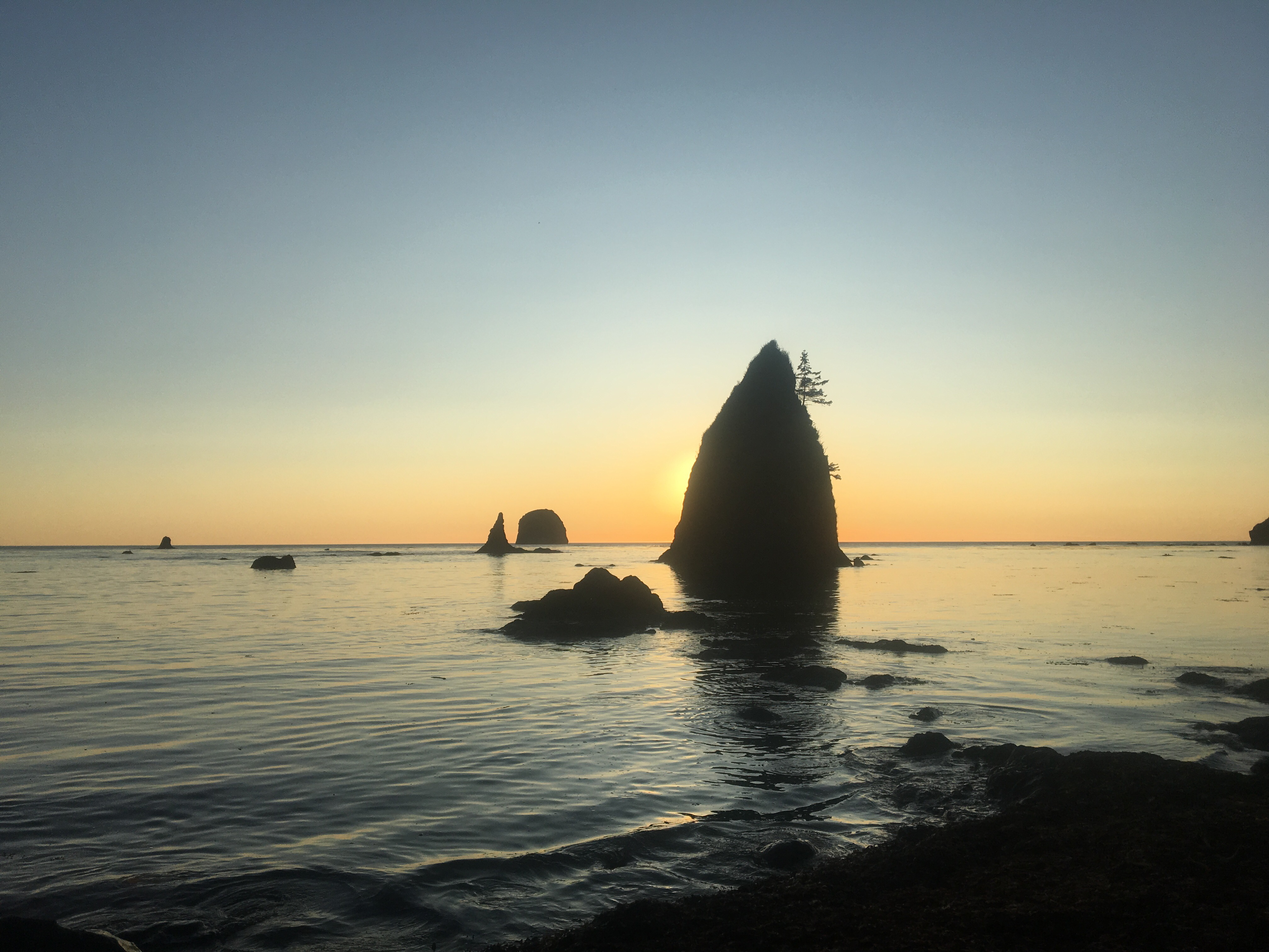
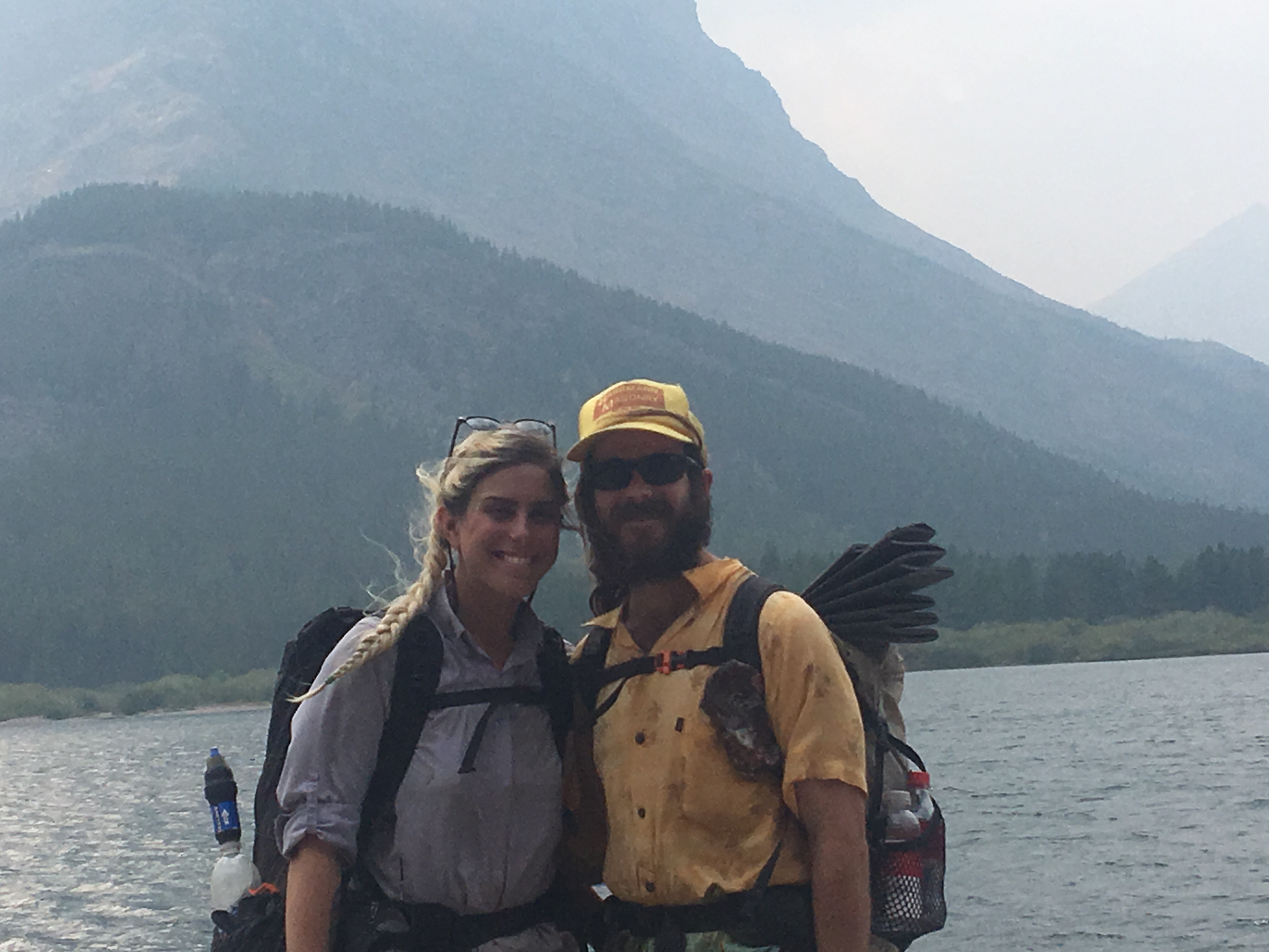
Anyway I’m a fan of the state of Arizona and what better way to see it than walking through it? I put together a gear list because people always ask me about gear. I’m by no means an expert on this stuff but I’ve got a pretty firm grasp on it, just don’t expect exact weights and prices and stuff like that. Or even the correct names.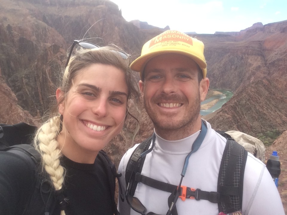 QB and me in the Grand Canyon 11/17
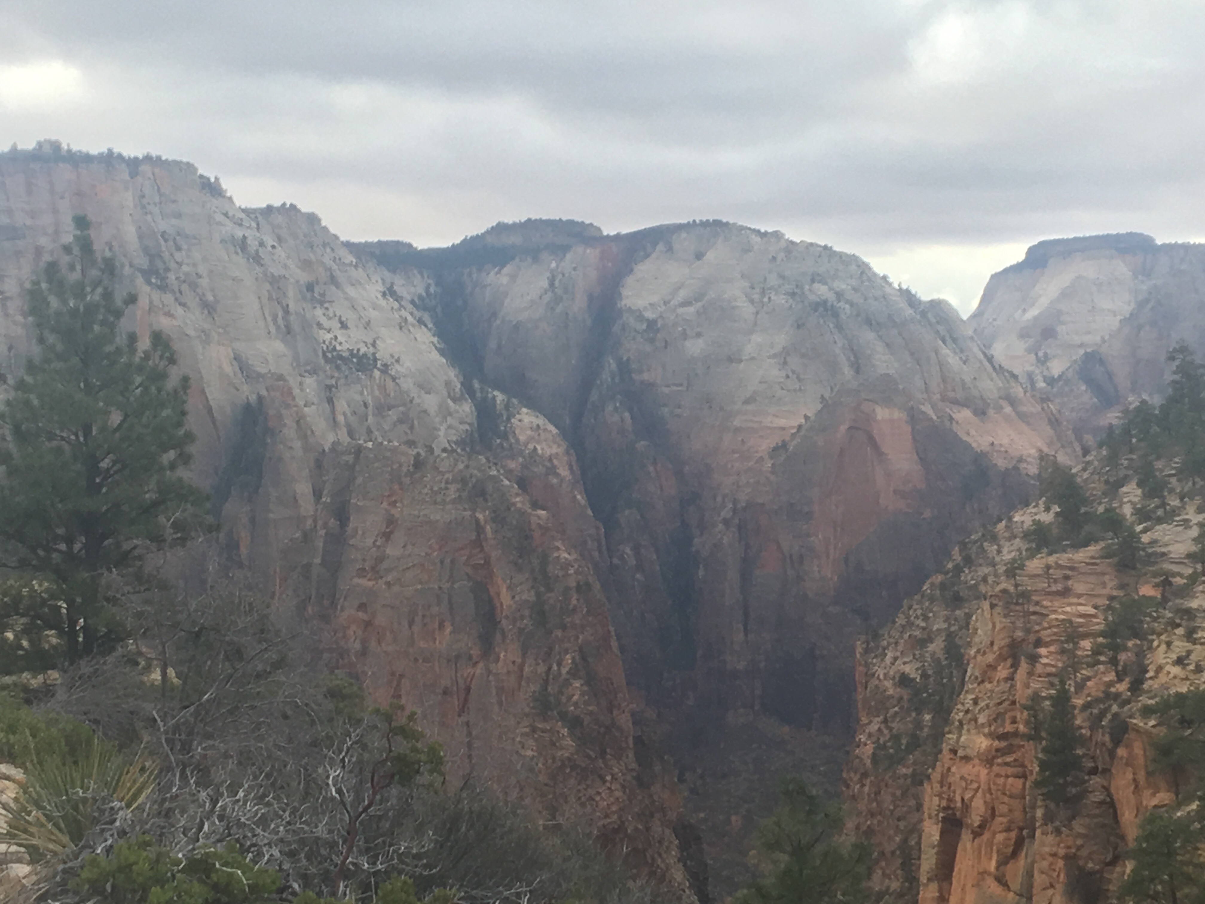
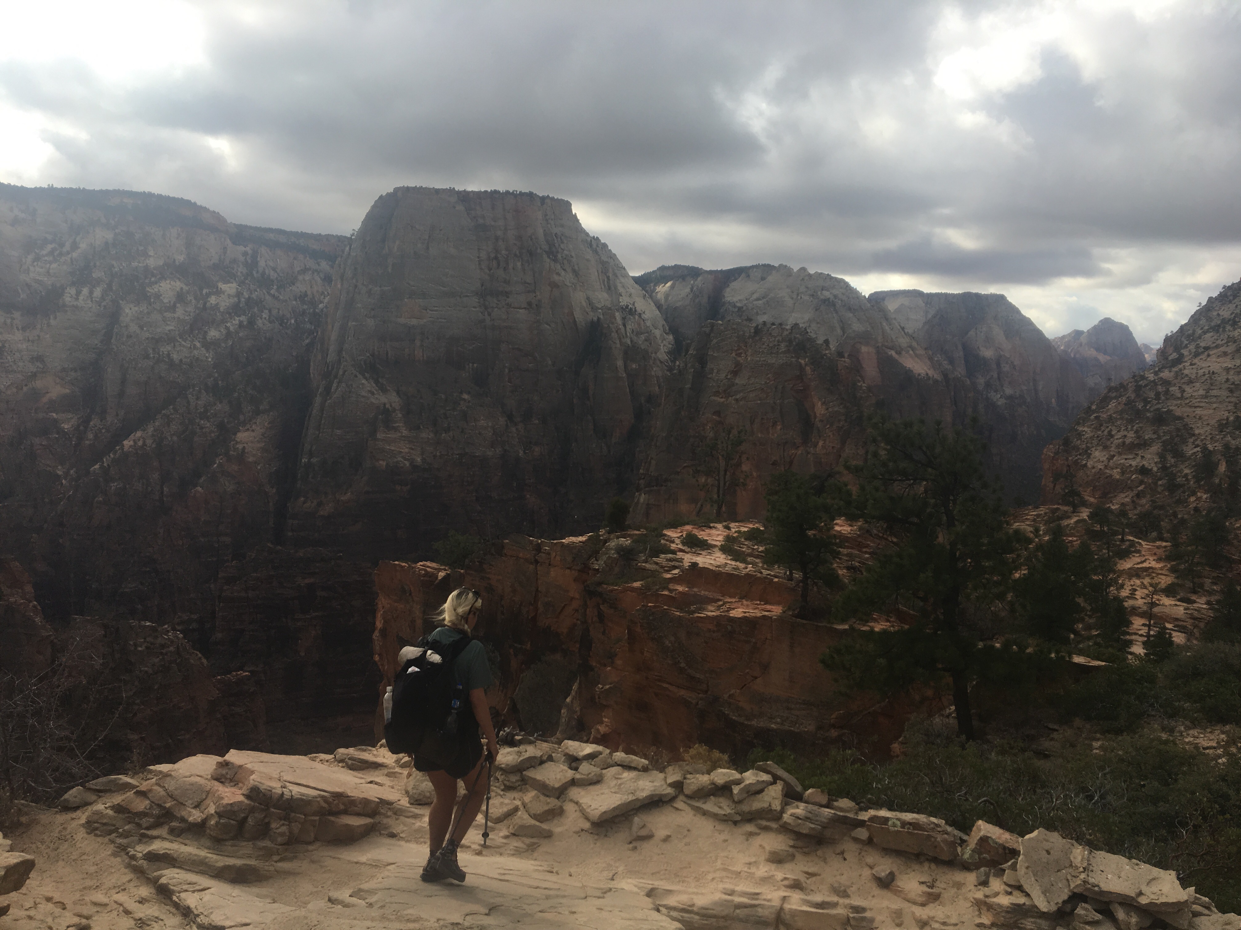
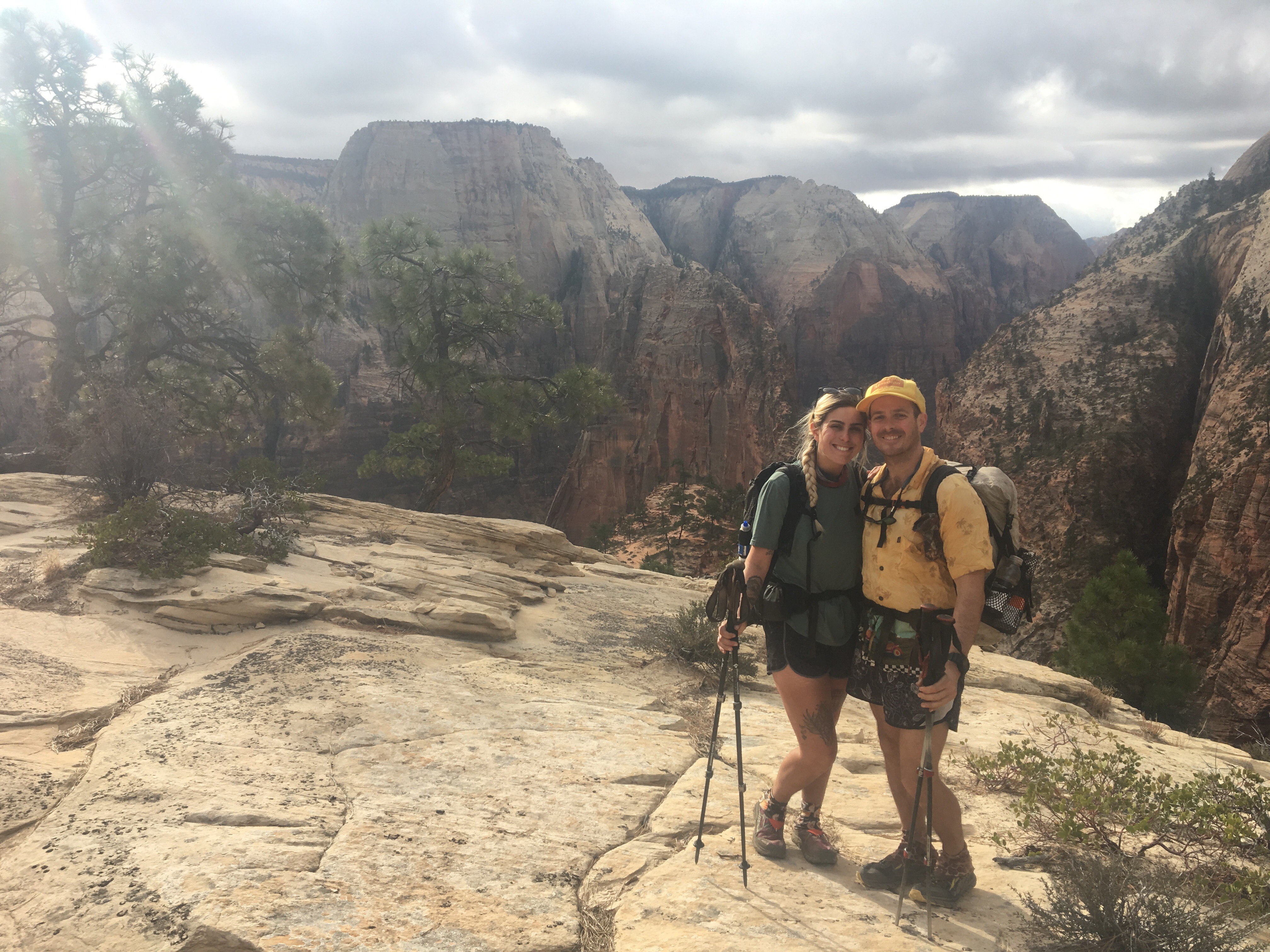
I’ll start with clothing, from my head to my feet.
Baseball hat: a couple years ago I picked up a yellow mesh and foam SnapBack at a Durango thrift store for a buck. It says ‘Harriman Masonry’ on it and often times people ask me if I’m a mason, which I’m not.
Buff: I carry a “Virginia is for Outdoor Lovers” buff with me that I got for giving an interview to a Virginia tourism company while hiking the AT. I use it to cover my face in cold weather or to cover my neck from the sun or in addition to my baseball hat to cover my ears if it’s cold and sunny. It’s versatile and light.
Winter hat: I always bring a lightweight thin winter hat. If it’s real cold I add my buff to it.
Gloves: high visibility fleece lined waterproof bright green gloves.
Sunglasses: Suncloud glasses with the wicked important Croakies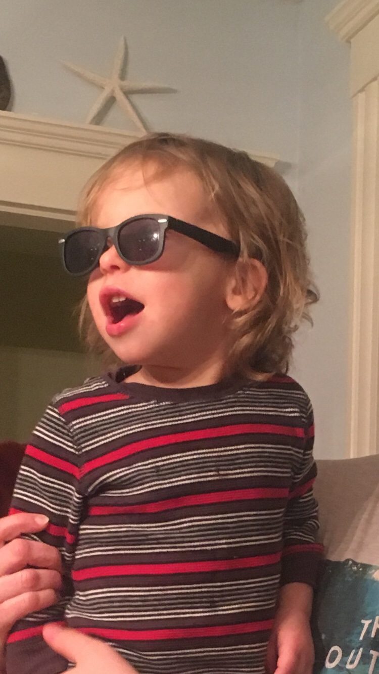 my nephew Will doing his best Uncle Endless impersonation
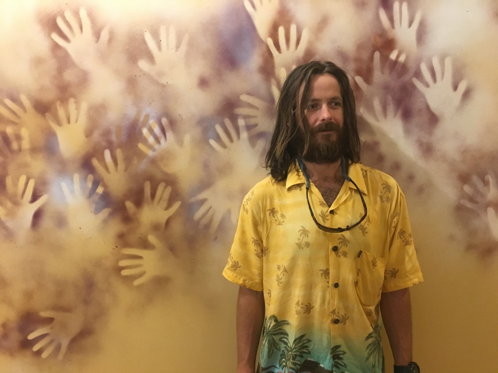
Hiking shirt: I picked up a super fancy short sleeve button down rayon shirt from Salvation Army for a couple dollars. The Aztec design is really cool, these will surely be all the rage soon.
Long sleeve hiking shirt: I carry a long sleeve nylon/spandex base layer shirt to keep me warm on cold days or to keep the sun off me in blazing heat. Color white, plus lots of stains. I got it at Marshall’s about 10 years ago probably in the $5-10 range. I don’t know what brand it is but it used to have the number ‘8’ on it.
Down jacket: Marmot Down Jacket, bright green highly visible down jacket. I think I linked the right one. Roughly 10 oz.
Rain jacket: Outdoor Research Helium II. On my short list for favorite piece of gear.
Shorts: I picked up a pretty skimpy pair of running shorts at a Wal-Mart in Steamboat last year. I think they’re unisex but for some reason they were in the ladies section. Short shorts are better for a longer stride and showing a little more leg never hurts while hitchhiking.
Rain pants: Patagonia Houdini pants. QB talked me into buying these last year. I’m not too crazy about them, they’re wicked light but feel like they’re made out of tissue paper. I got a decent sized tear in them last year and now have a nice silver duct tape stripe on my butt. These are wind pants, not rain pants so they won’t keep you dry in anything heavier than light rain, but they’ll keep me a little warmer.
Underwear: Under Armour, one pair.
Socks: Darn Tough Socks. Comfortable and cozy. One time I got away with one pair for a few weeks on the AT but 1 pair of socks is a little reckless.
Gaiters: Dirty Girl gaiters. I went with the giraffe print last year to make me look taller and I’ll be reusing these after QB does a quick sewing repair.
Sneakers: Altra Lone Peak 3.5’s. I love these shoes. I wore the 2.5’s in ’16 and the 3.0’s in ’17. I think the 3.5’s are the best ones yet. Hoping to hike the whole AZT in one pair.
Backpack: Hyperlite Windrider 2400. I’m a big fan of this pack. I loved it on the CDT and the company was very easy to deal with; repairing small tears in the mesh and getting it back to me in a timely fashion. I believe in products made in Maine.
Sleeping bag: Enlightened Equipment 20 degree down quilt. I’m not in love with this thing, but I also didn’t upgrade it in the off season after using it last year. I don’t think it’s anything to do with the product I just don’t like the quilt style, I prefer a cocoon style sleeping bag. Kind of kicking myself for not getting a new fart sack.
Sleeping bag liner: Sea to Summit fleece liner. I hiked over a thousand miles with just this liner on the AT but in colder weather I use it to supplement the quilt. I realize the extra weight of carrying a liner cancels out getting a lightweight quilt.
Sleeping pad: Therm-A-Rest Z Lite silver and gray sleeping pad. I’ve had one in the past and liked it although last year I tried a ridiculously thin 5 oz Mammut pad that just didn’t cut it.
Tent: After 3 seasons with the Tarp Tent ProTrail and a piece of Tyvek for a groundsheet, I’m going with a Big Agnes Copper Spur 2 Platinum. This is a major change. QB and I will be splitting the weight of the tent, poles, and groundsheet so it will not only save weight but will be free standing and luxurious. This tent was highly recommended by my friend Mac, check out his blog and gear reviews here.
Cooking: Except for the first 3 days on the PCT in ’15, I’ve spent my entire thru-hiking career stoveless. This is about to change. QB and I are sharing a stove for the AZT. One of us will be carrying a MSR Pocket Rocket and the other one will be carrying a small fuel canister. We’ll each be carrying our own titanium pots. How I came to have my spoon is a long story but I’ll give you the abridged version: I’ve been carrying the same copper lightweight table spoon since Julian, CA on the PCT. Because of its shape it’s not the most practical but it’s got sentimental value and I’ve been carrying it for almost 9,000 miles, more than any other piece of gear.
Food bag: Granite Gear ultra light zip sack 16L.
Water: I use a Sawyer Squeeze filter, heavier than the Sawyer Mini but much more efficient, I’ll also carry a couple of Smart Water liter bottles and probably a 20 oz Gatorade bottle to make my instant coffee in. 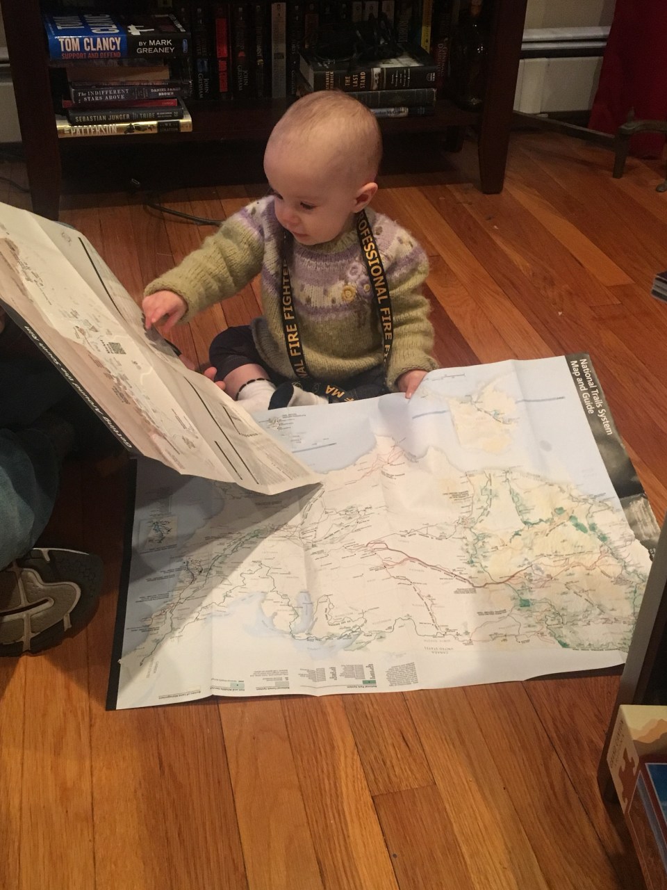 My niece Sawyer helping me navigate
Electronics: iPhone 6 with Lifeproof case. Anker portable charger, iPod Nano, charging cord for the phone and iPod and a micro USB cord for the charger plus a dual port to plug into the wall. And regular apple headphones.
Shit kit: Deuce of Spades trowel, little bit of toilet paper, smallest refillable bottle of hand sanitizer I could find, and a series of zip lock bags to keep clean stuff clean and dirty stuff dirty.
Toiletries: Tiny toothbrush, just the end of a regular toothbrush that I sawed off to a one inch handle. Miniature toothpaste.
Medicine: Ibuprofen to take as needed, Benadryl, immodium(after a wild day in Montana last year, I will always carry this wonder drug), multivitamins, and eye drops. I also have been carrying an Epipen after I had a pretty severe allergic reaction to something in Pennsylvania on the AT.
Trekking poles: Black Diamond brand that I’ve used for a couple thru hikes and have tapped on the ground with millions of times
Miscellaneous: Small container of Vaseline to prevent chafing, superglue, sunscreen in a pill container for easy refill, my passport and a small notebook for a journal plus a pen (I know I could keep a journal on my phone but call me old fashioned I guess). I keep my ID, credit card, ATM card and a little bit of cash in a hair elastic wallet that I now use full time.
I sure hope I didn’t forget anything. Last year my base weight was right around 10 lbs. this year I think it will be slightly higher but I’m not too worried, I don’t think I’ll weigh it but if I do I just might have to revise this. Make sure you subscribe to this blog or at least stay tuned for updates and follow me @endlesspsummer on Instagram for more pictures.
-Endless


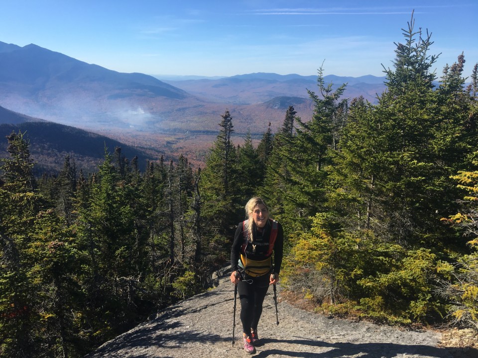
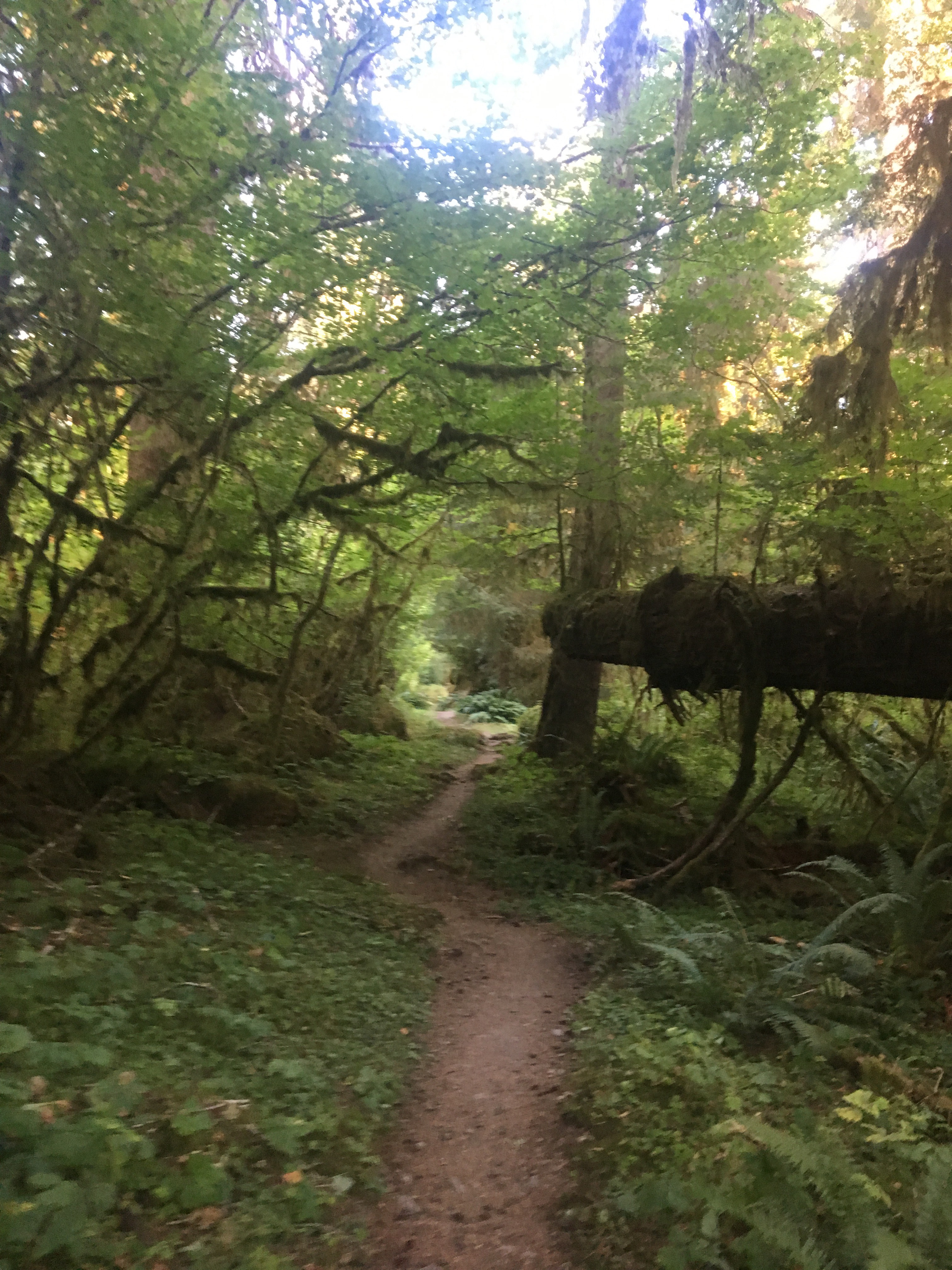
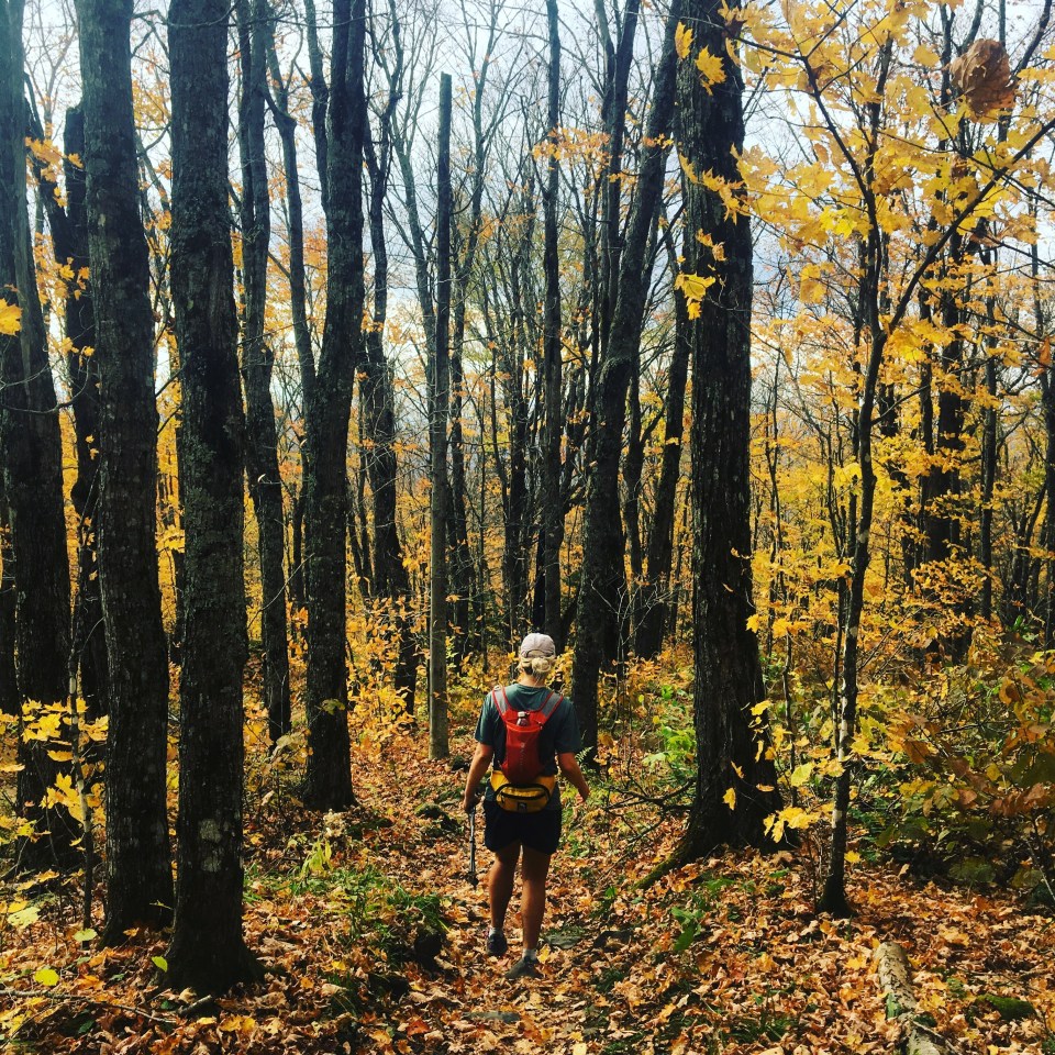 leaf peeping
 with a fresh shave and haircut I was feeling pretty aerodynamic
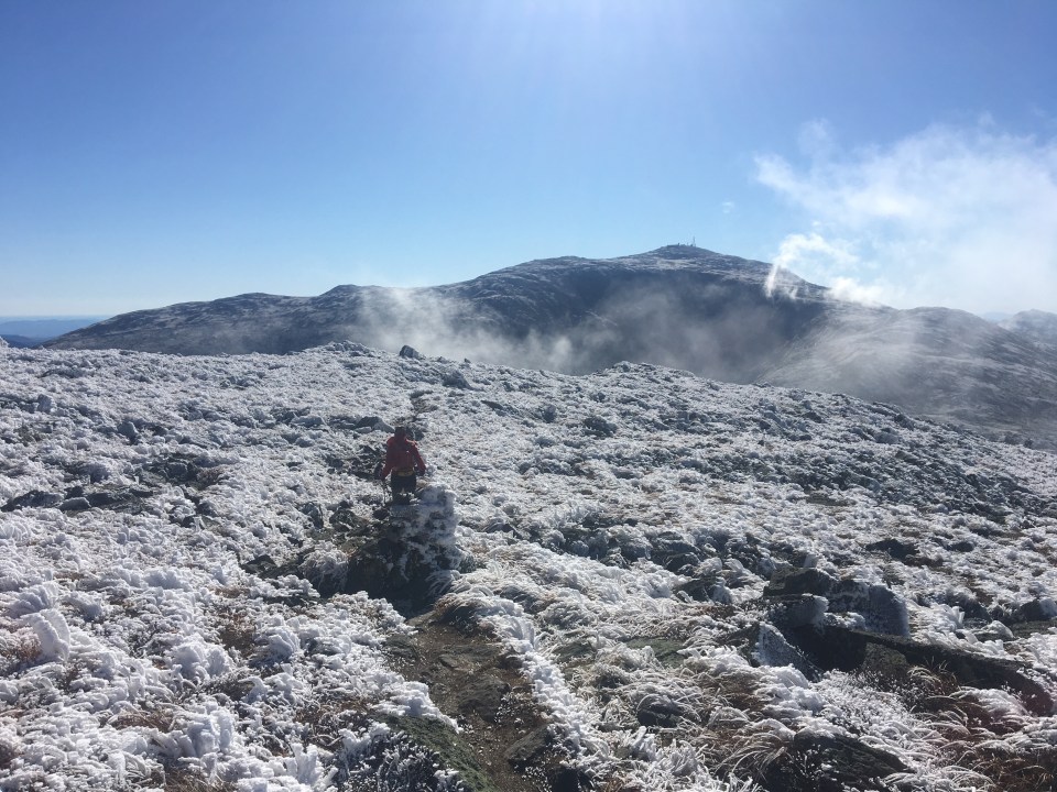
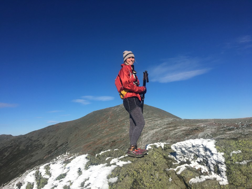
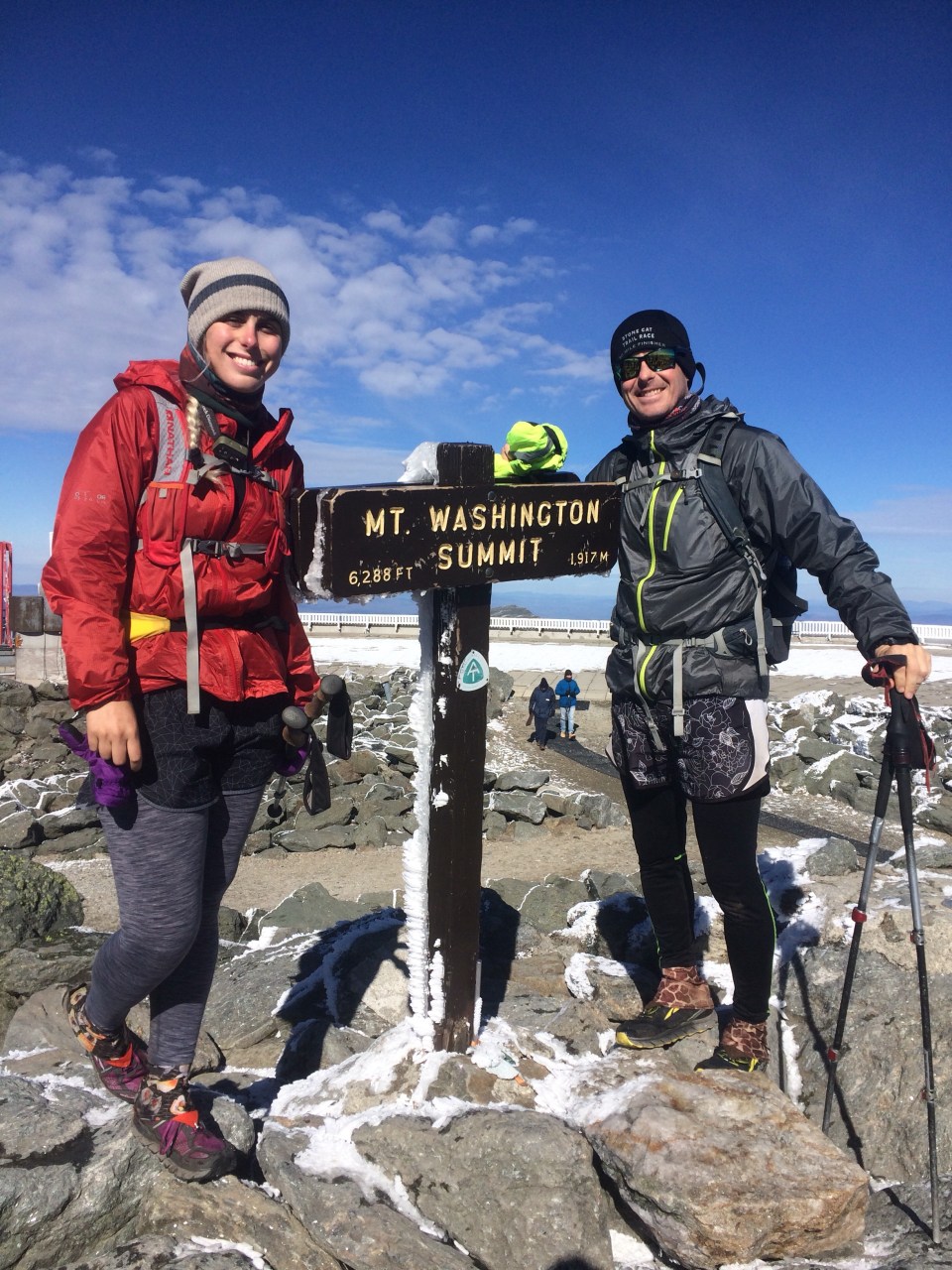
 on top of Madison
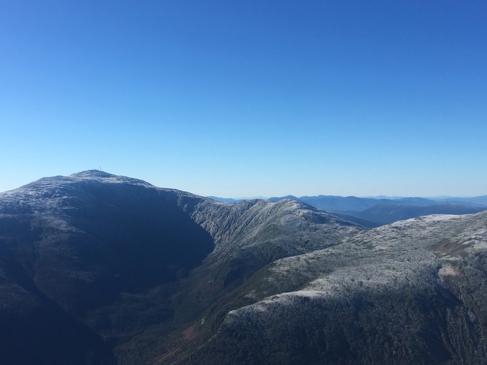 walking towards Washington
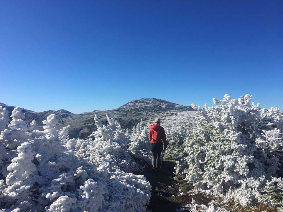


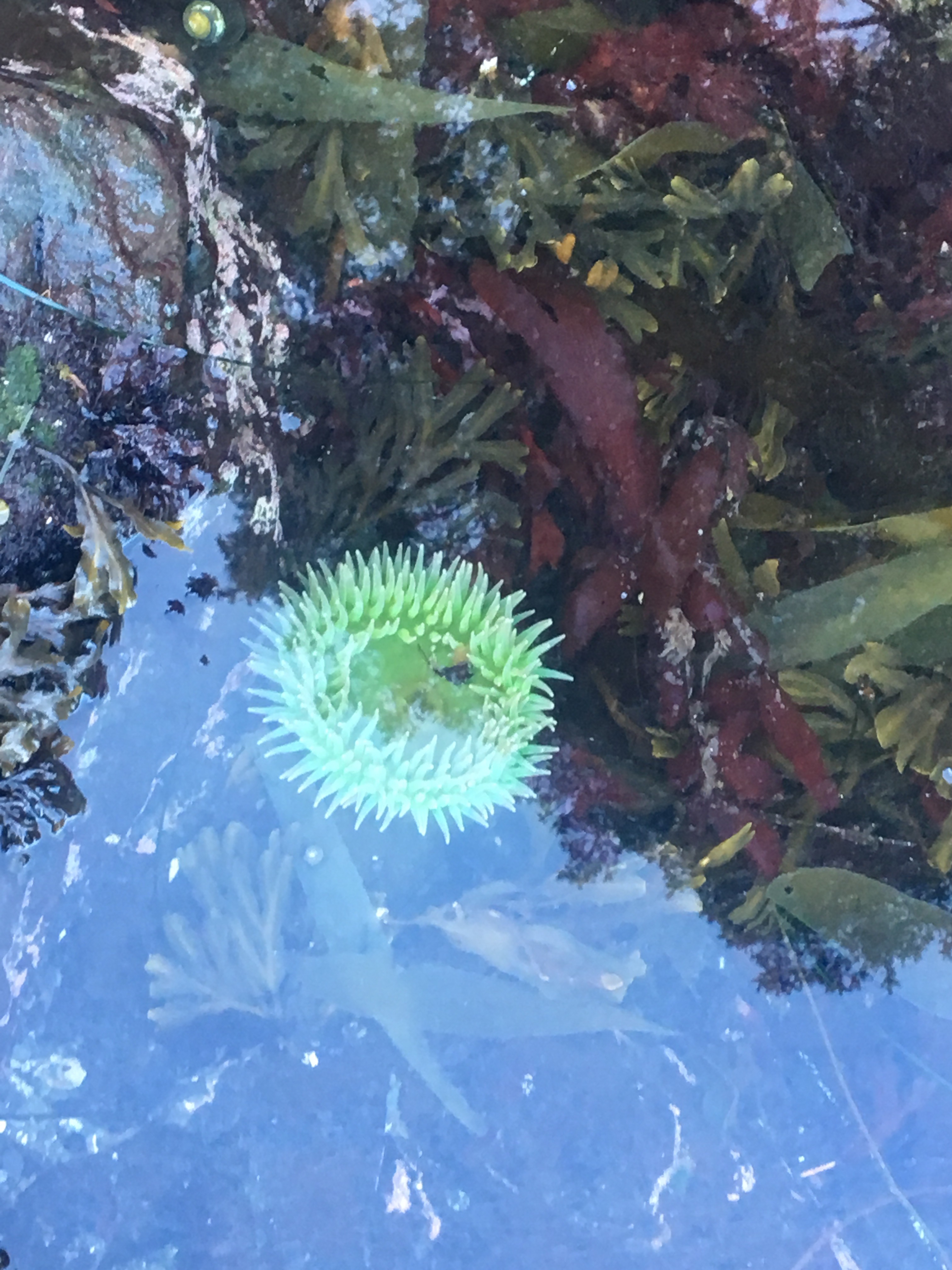

 like 12 blackberries


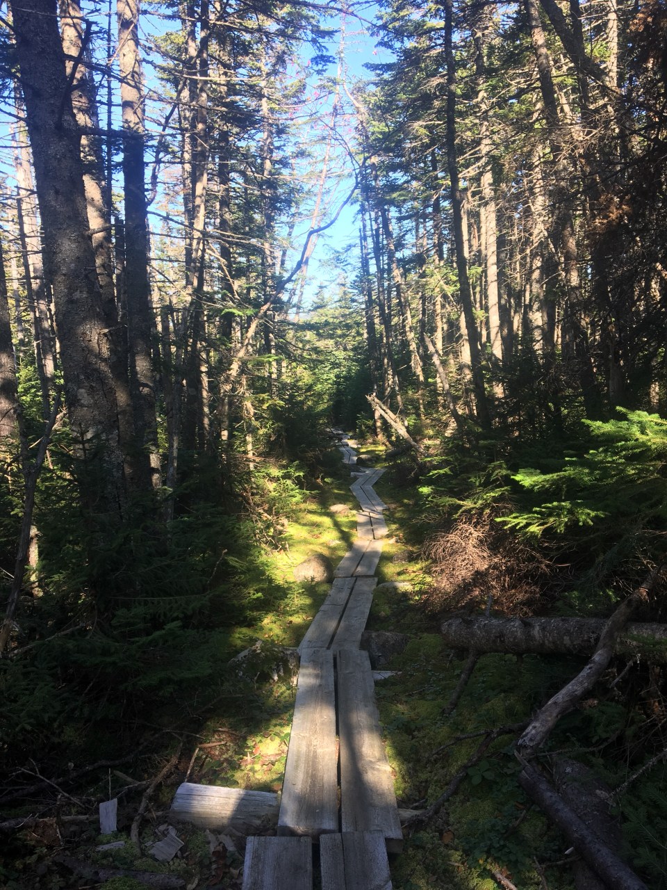
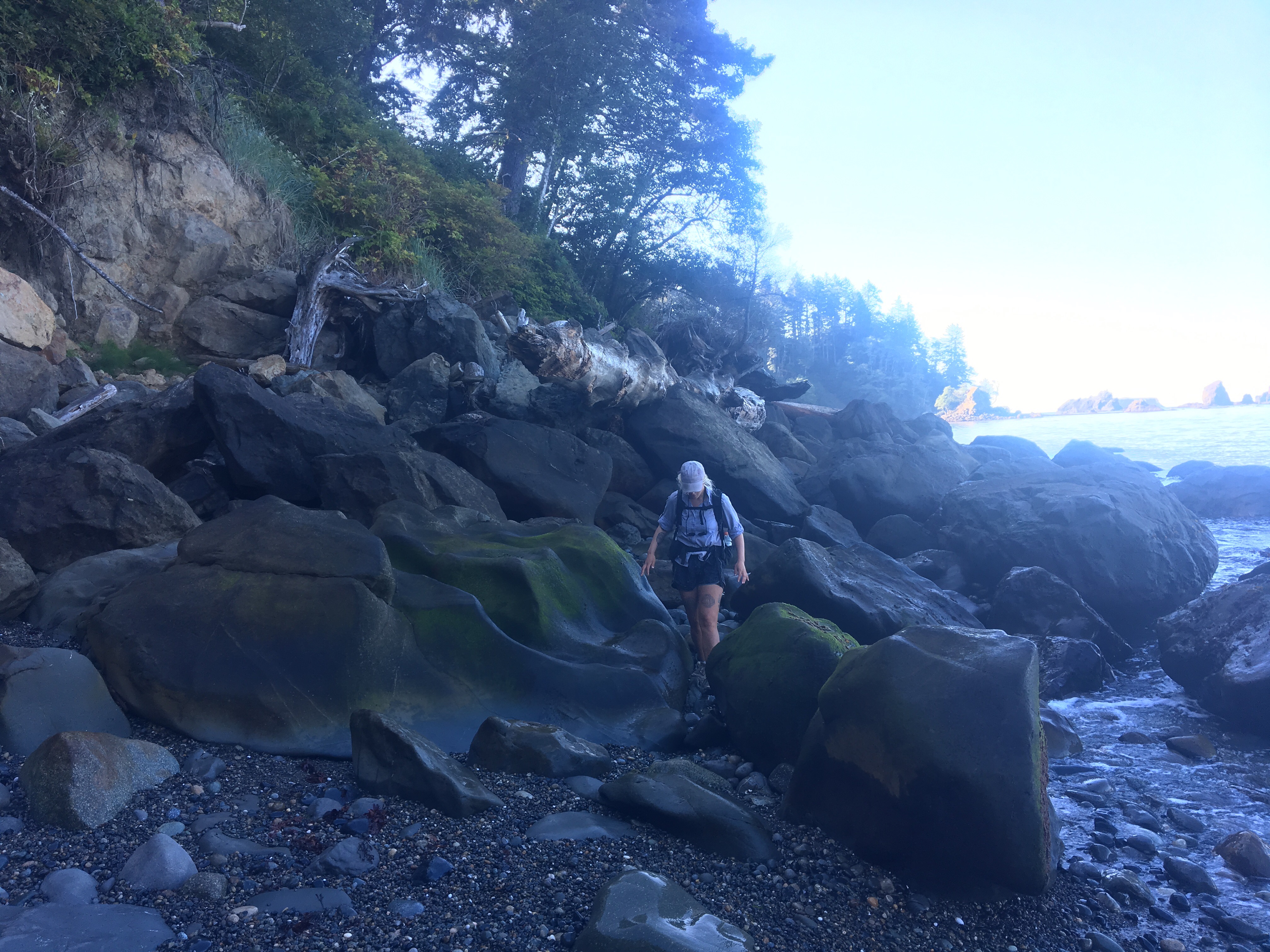
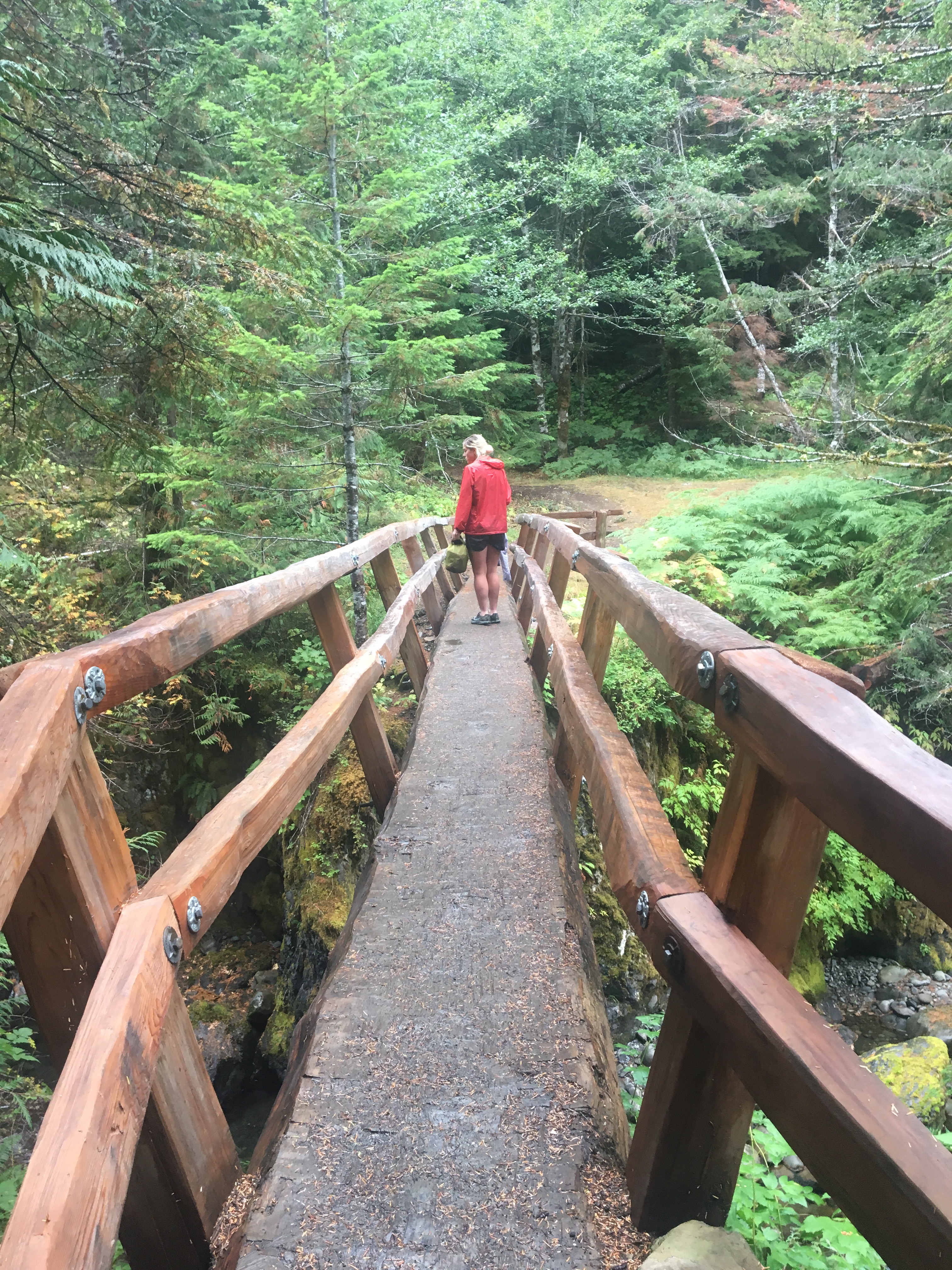
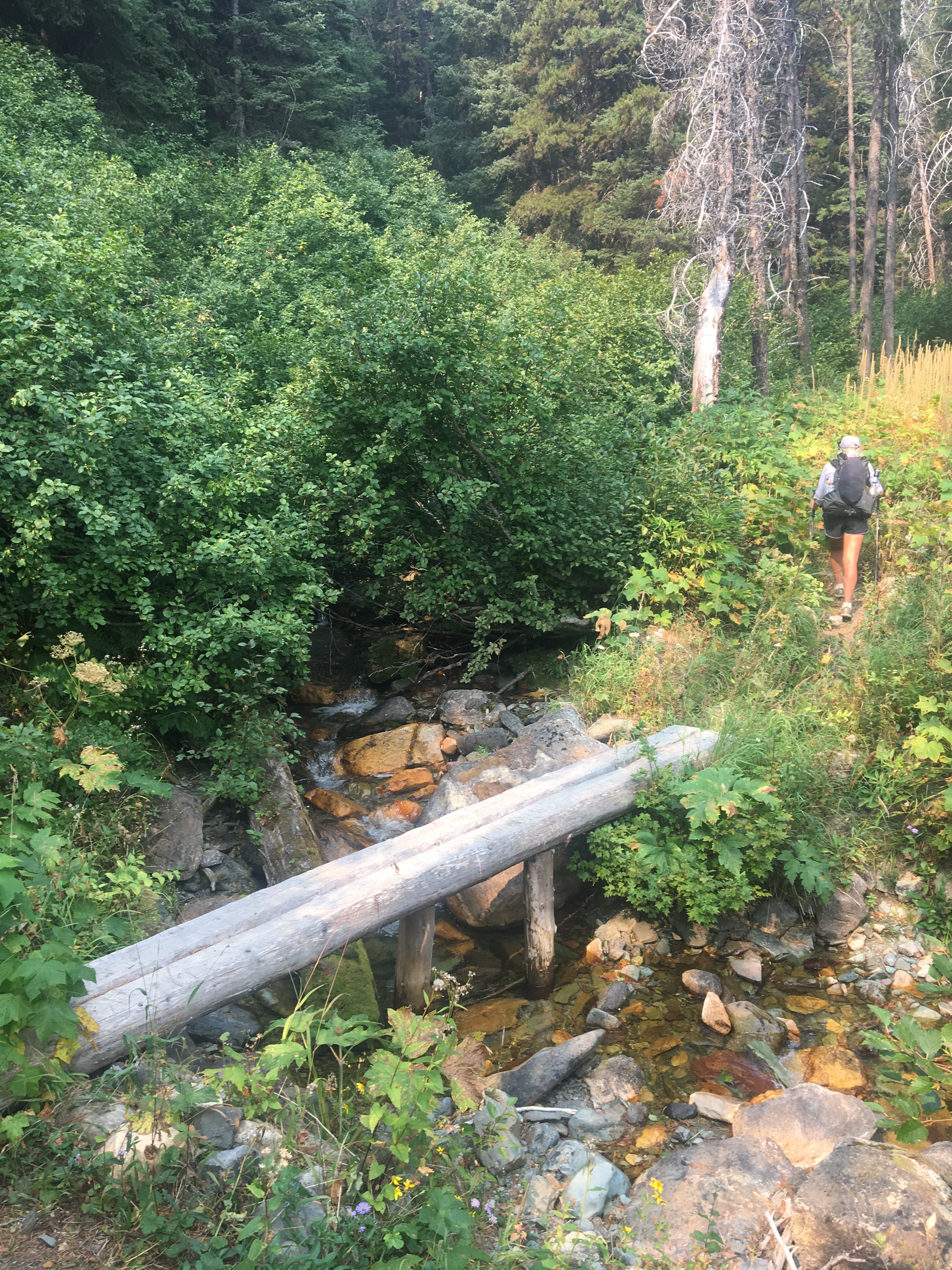
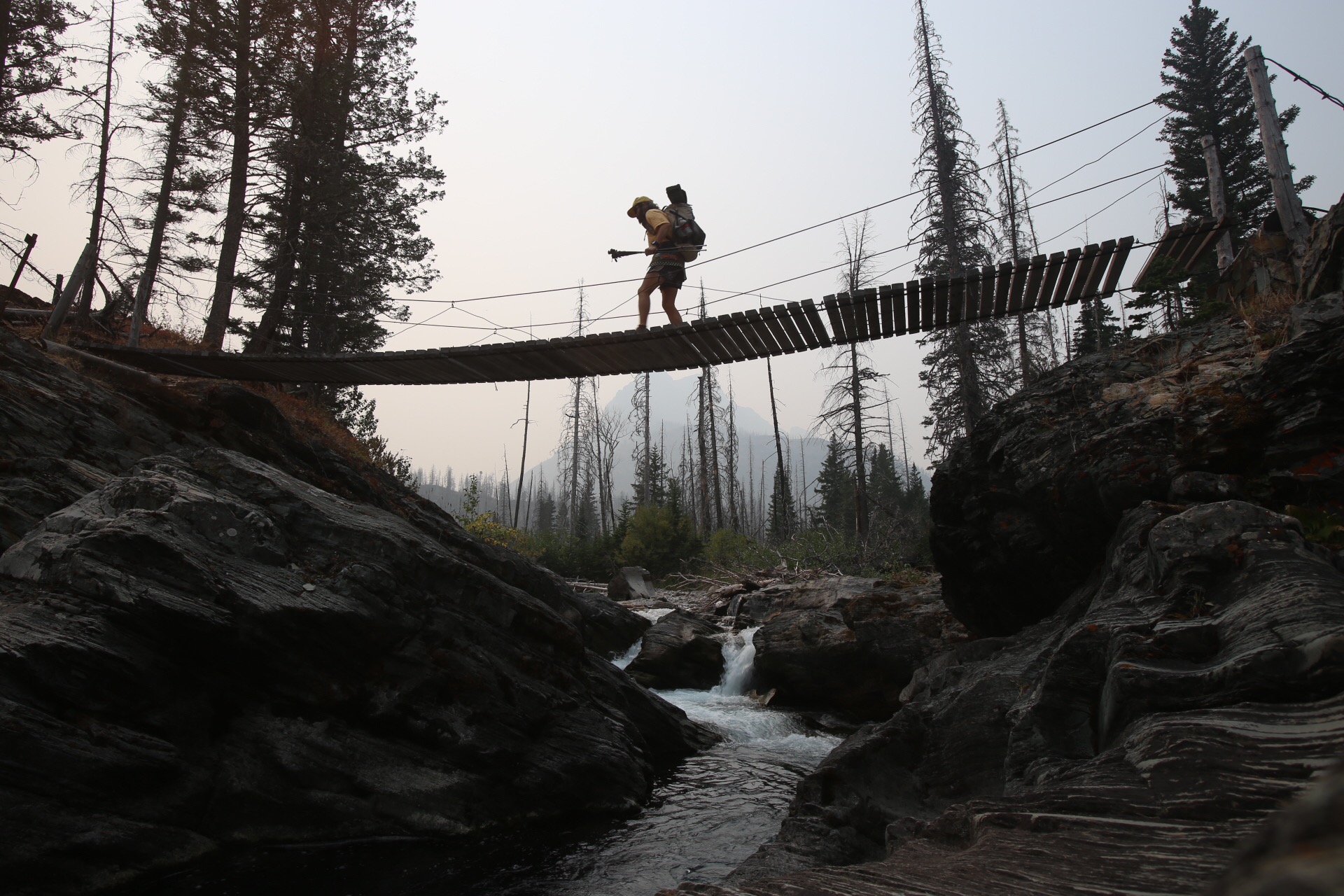
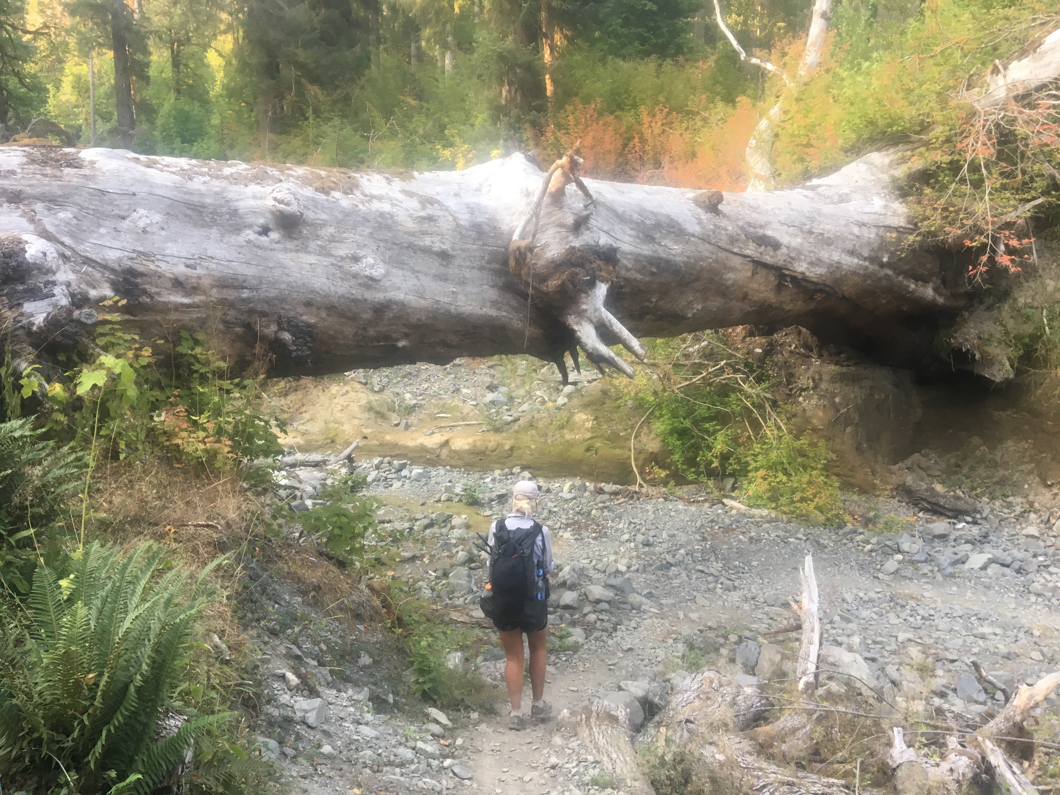 this tree fell down and became a bridge


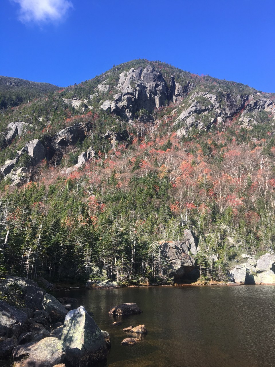
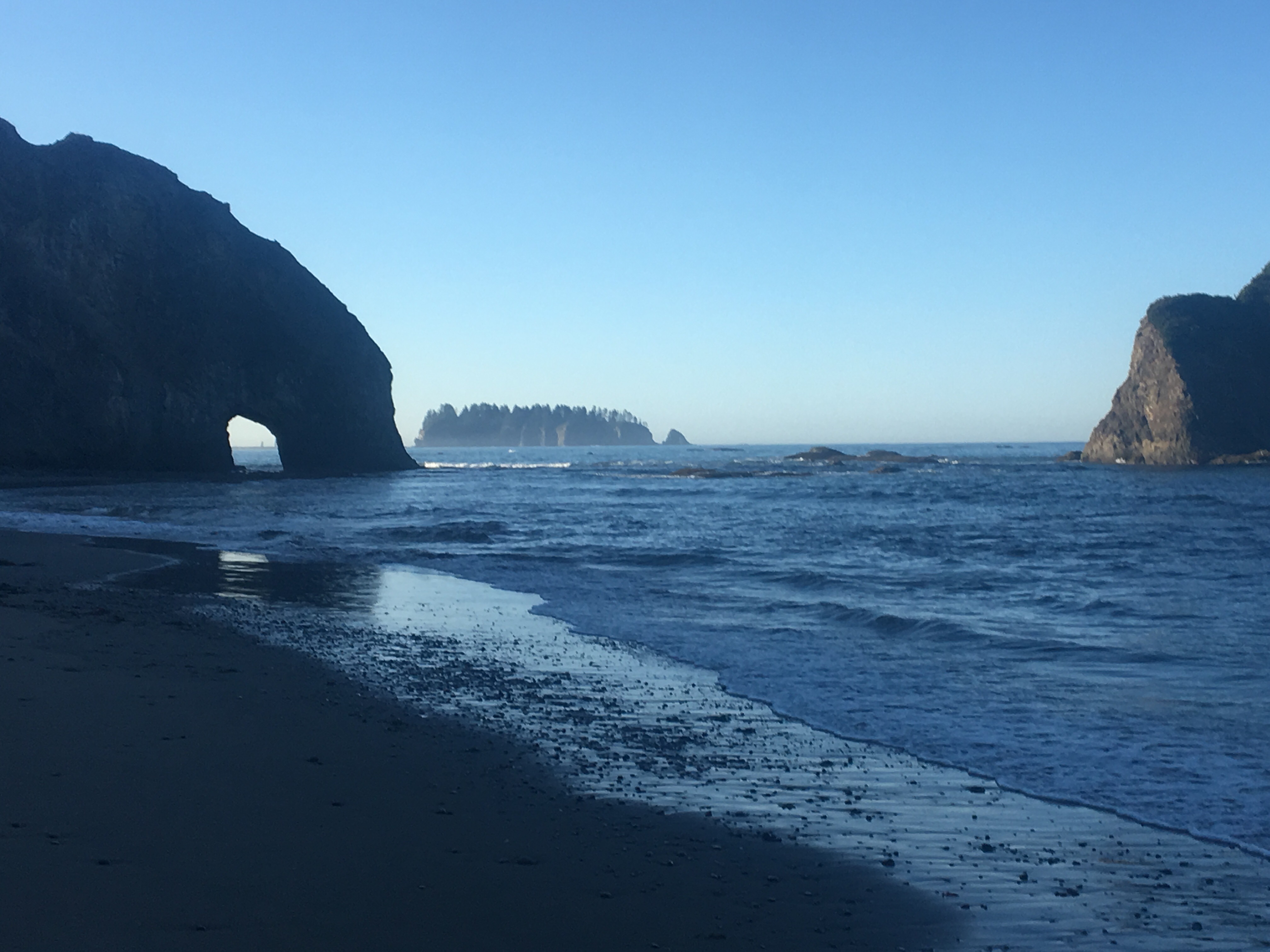
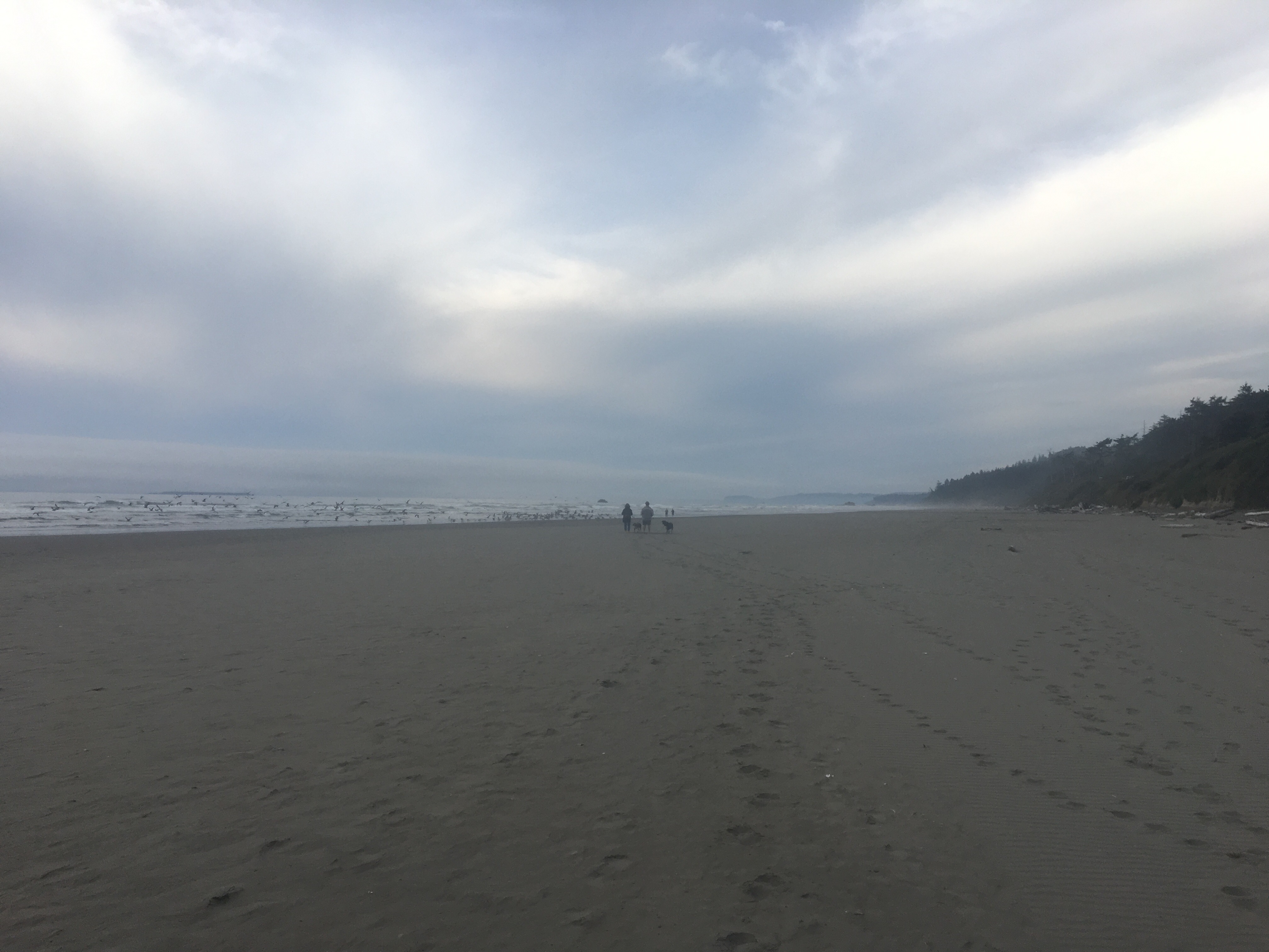
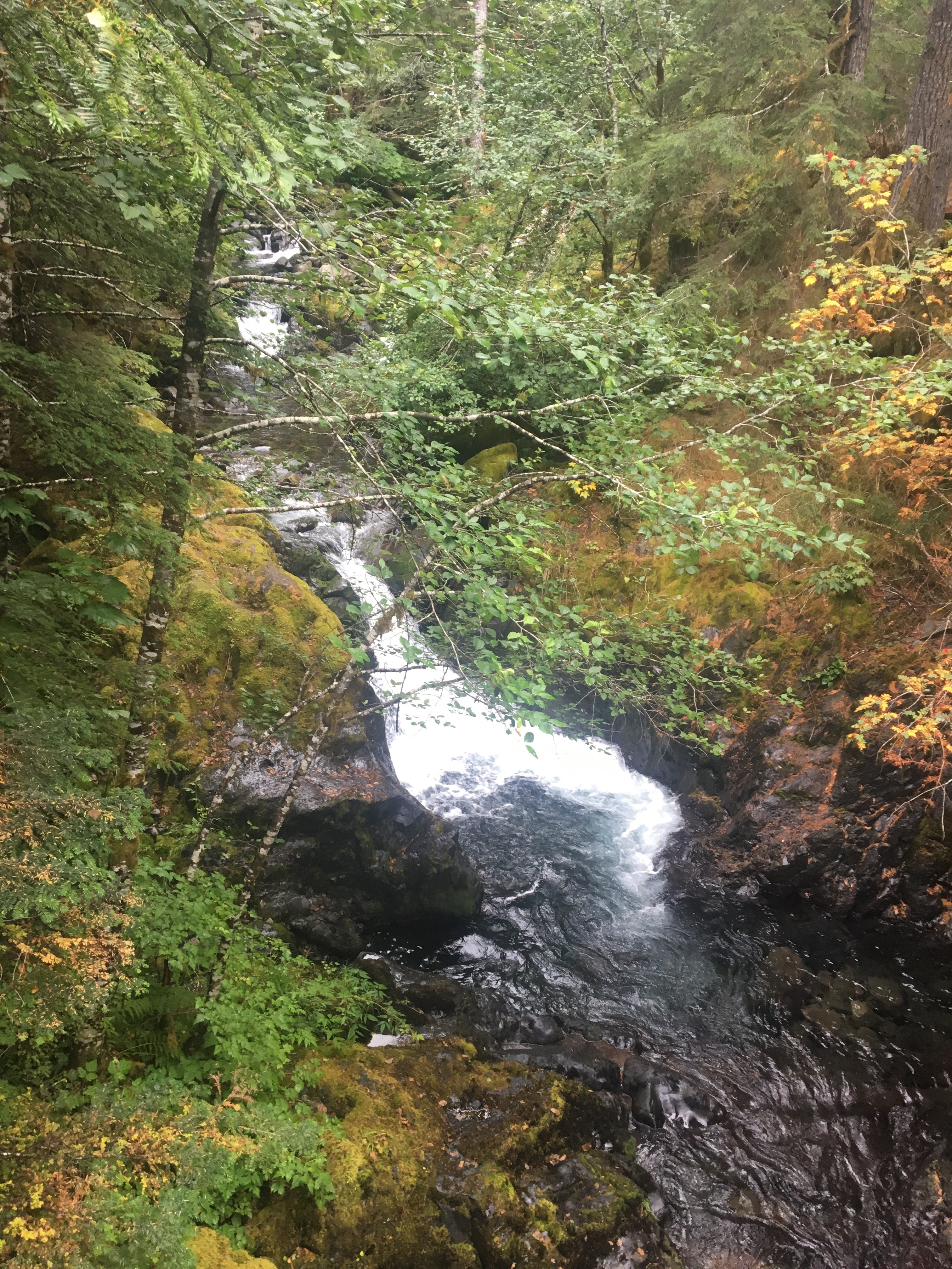
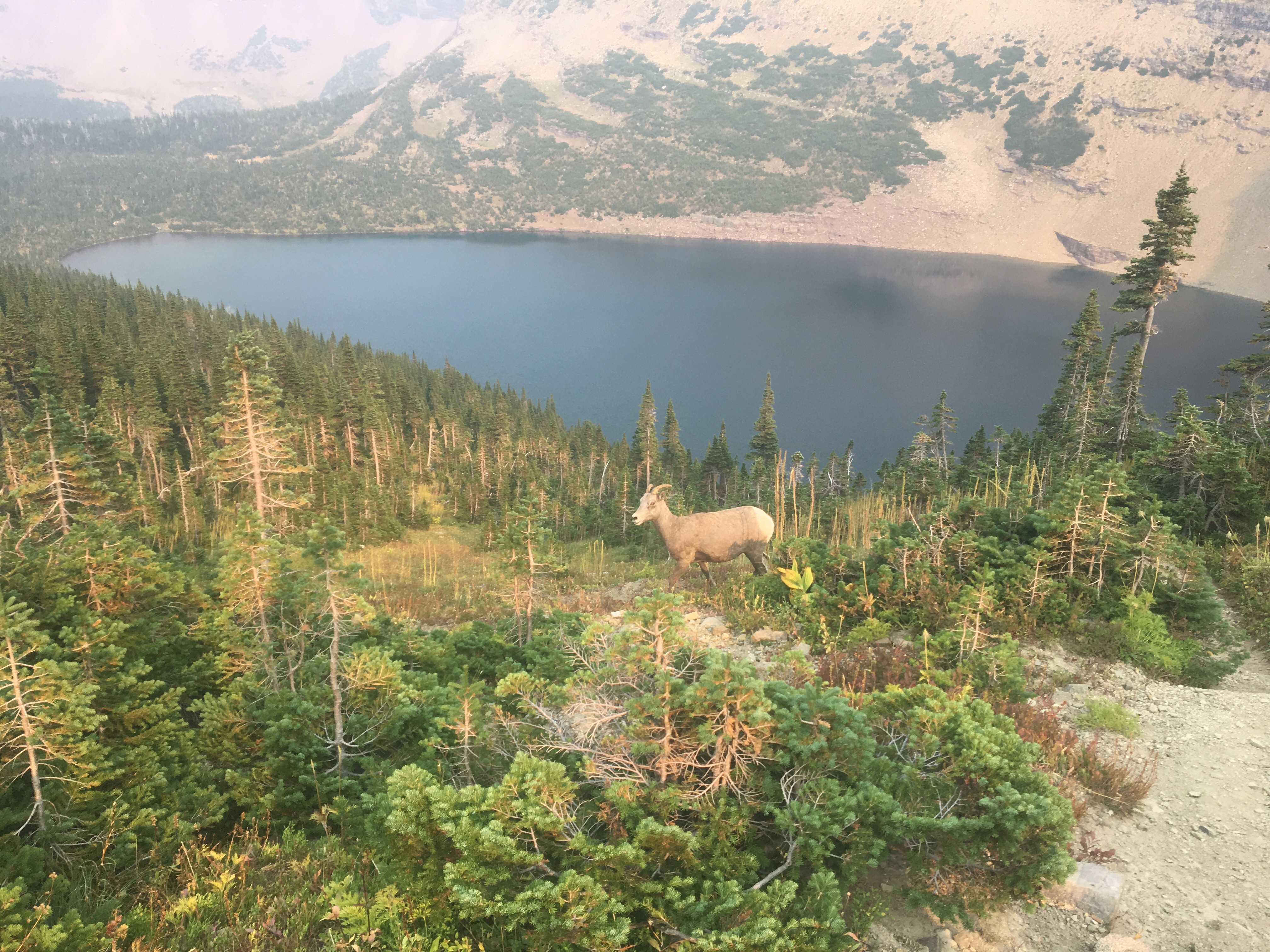
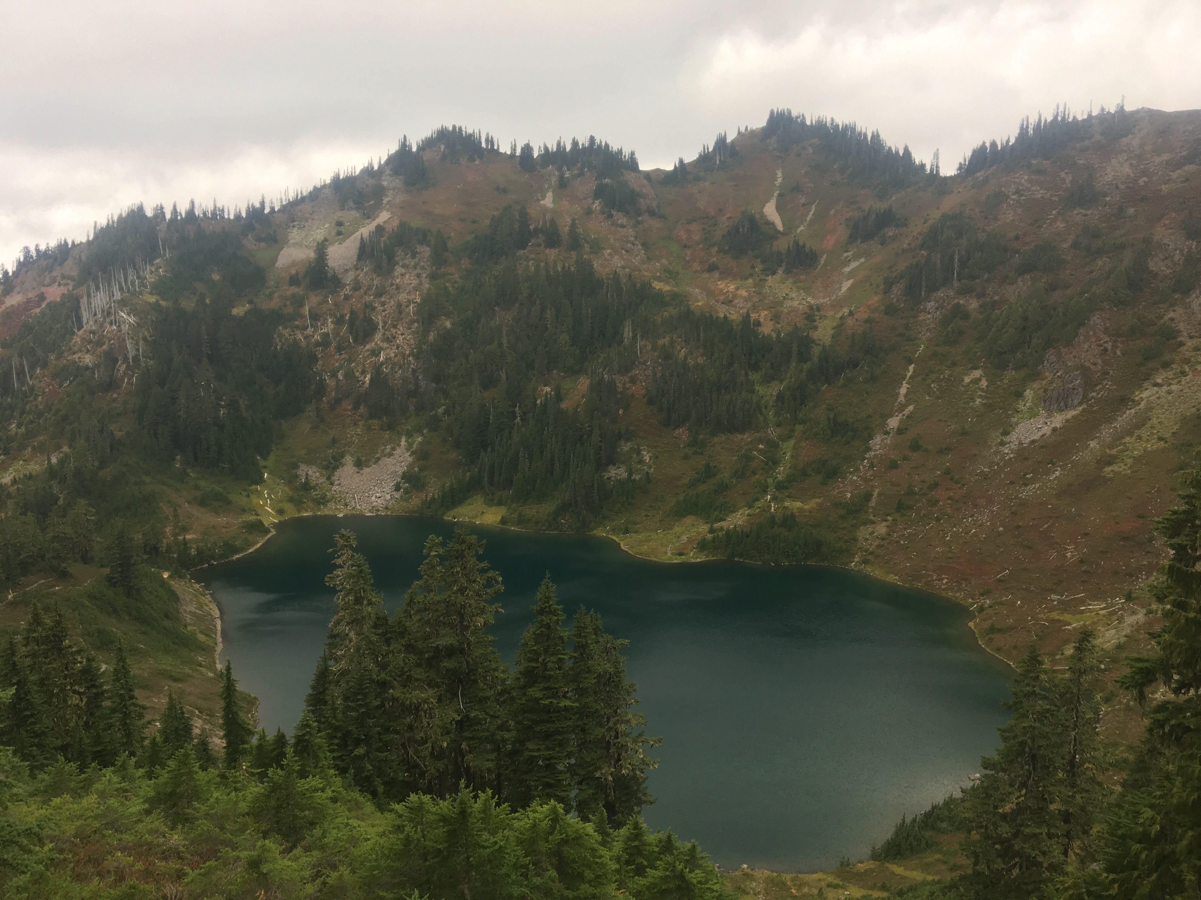 Hoh Lake
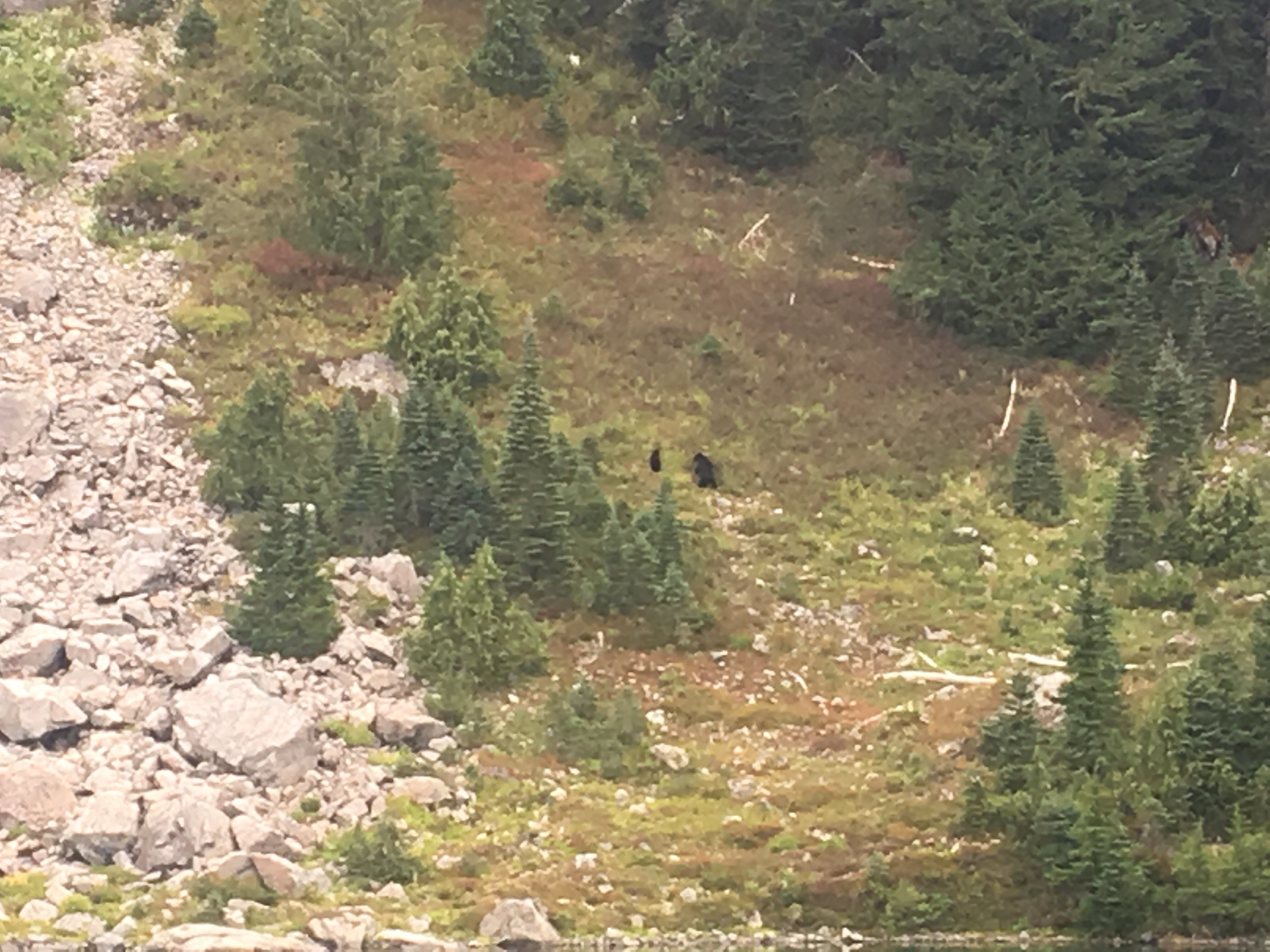

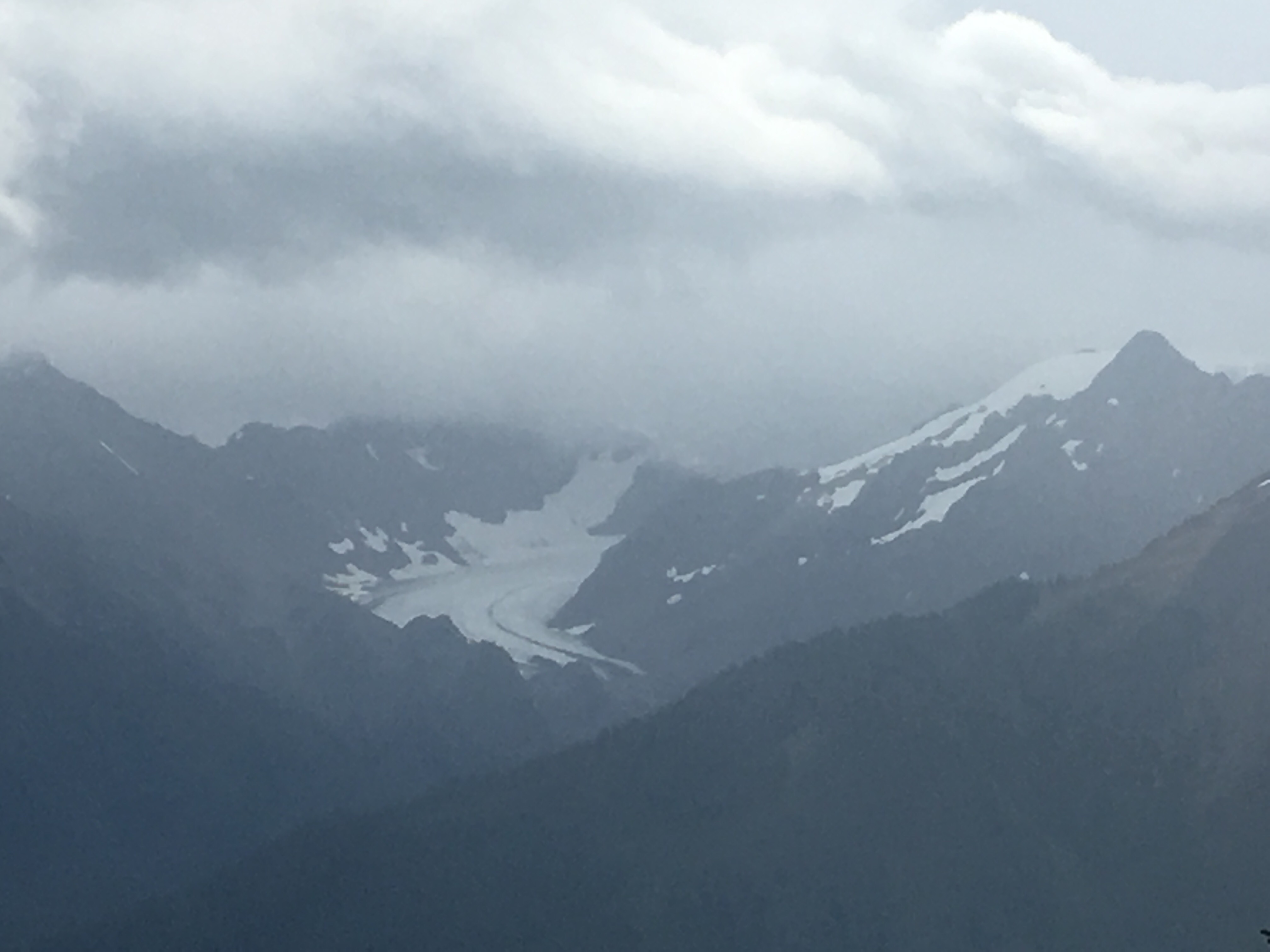


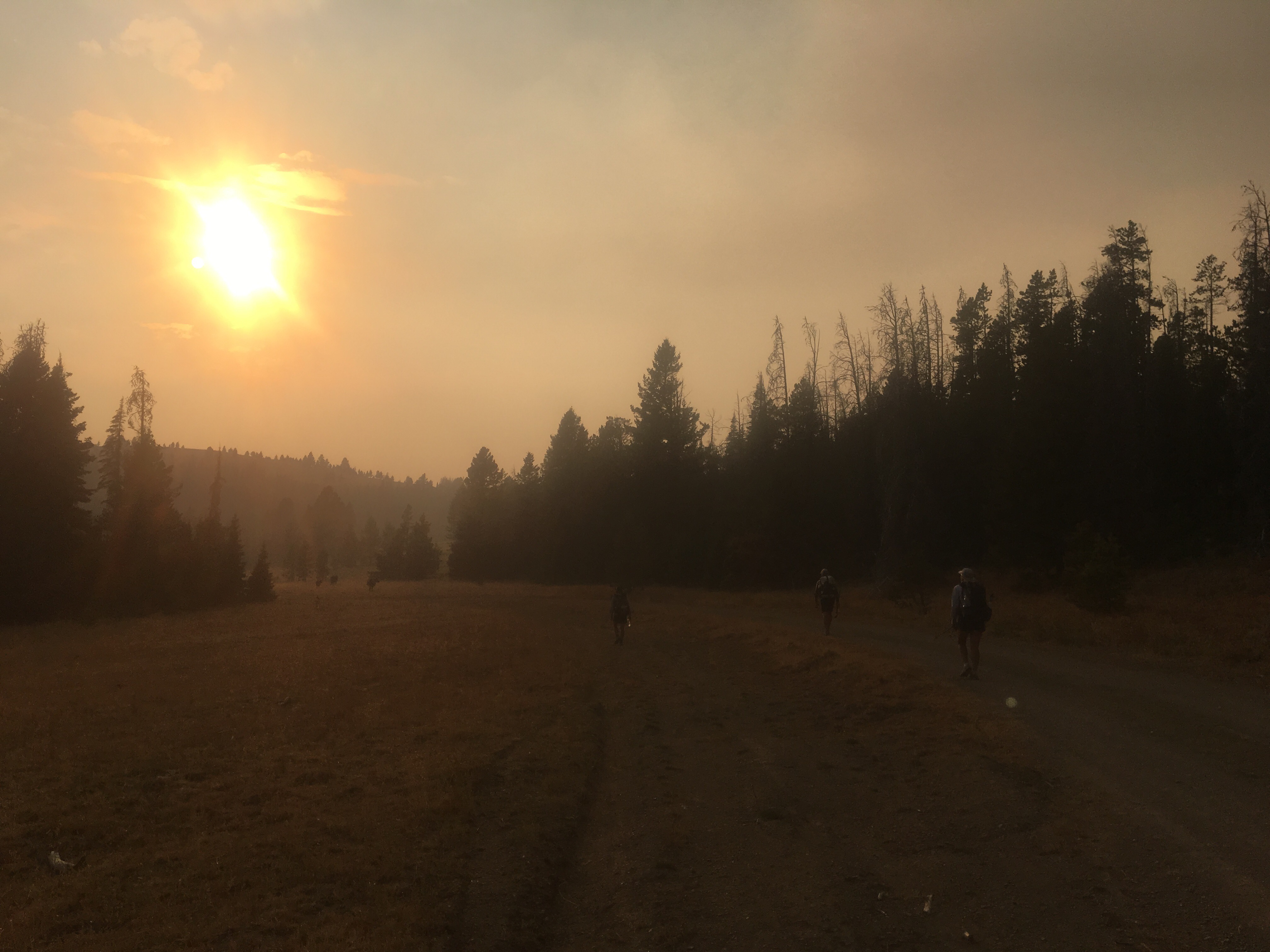
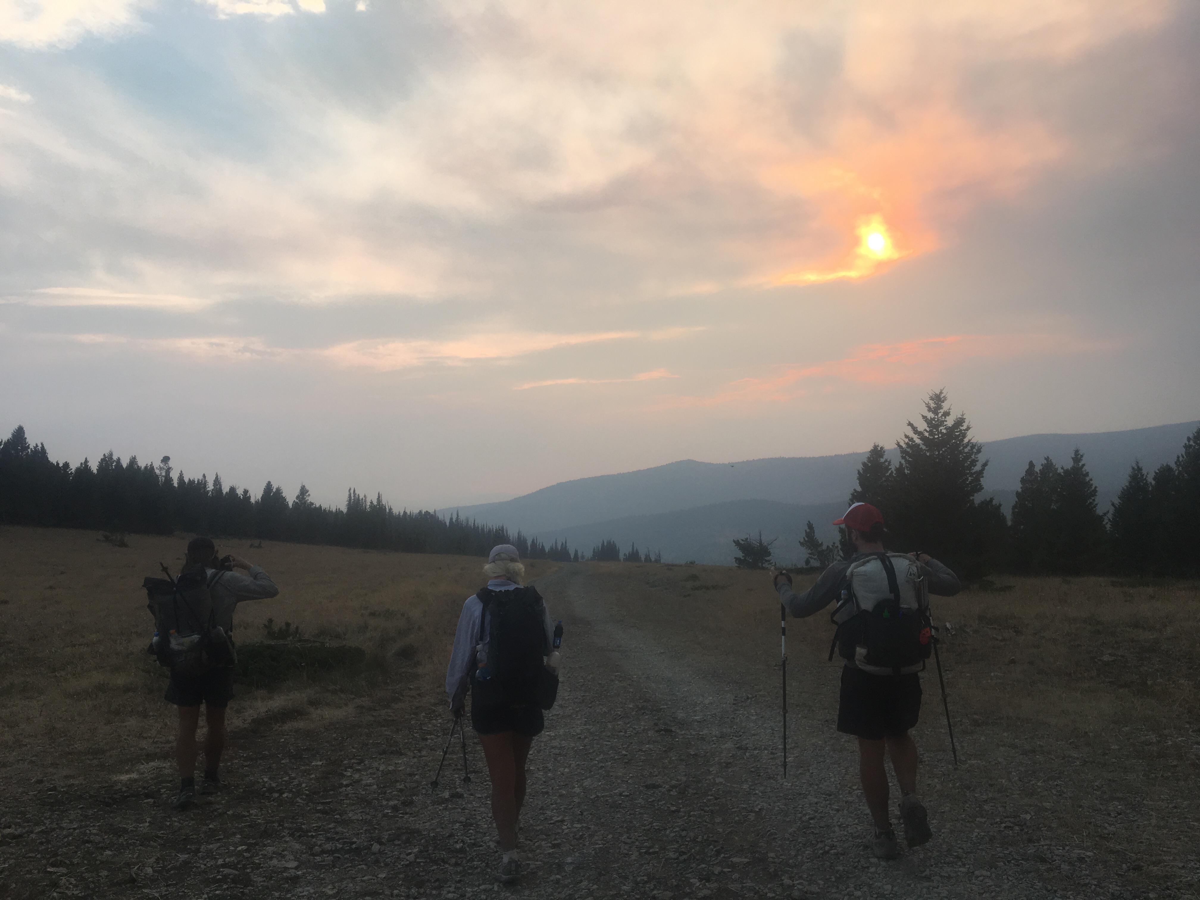
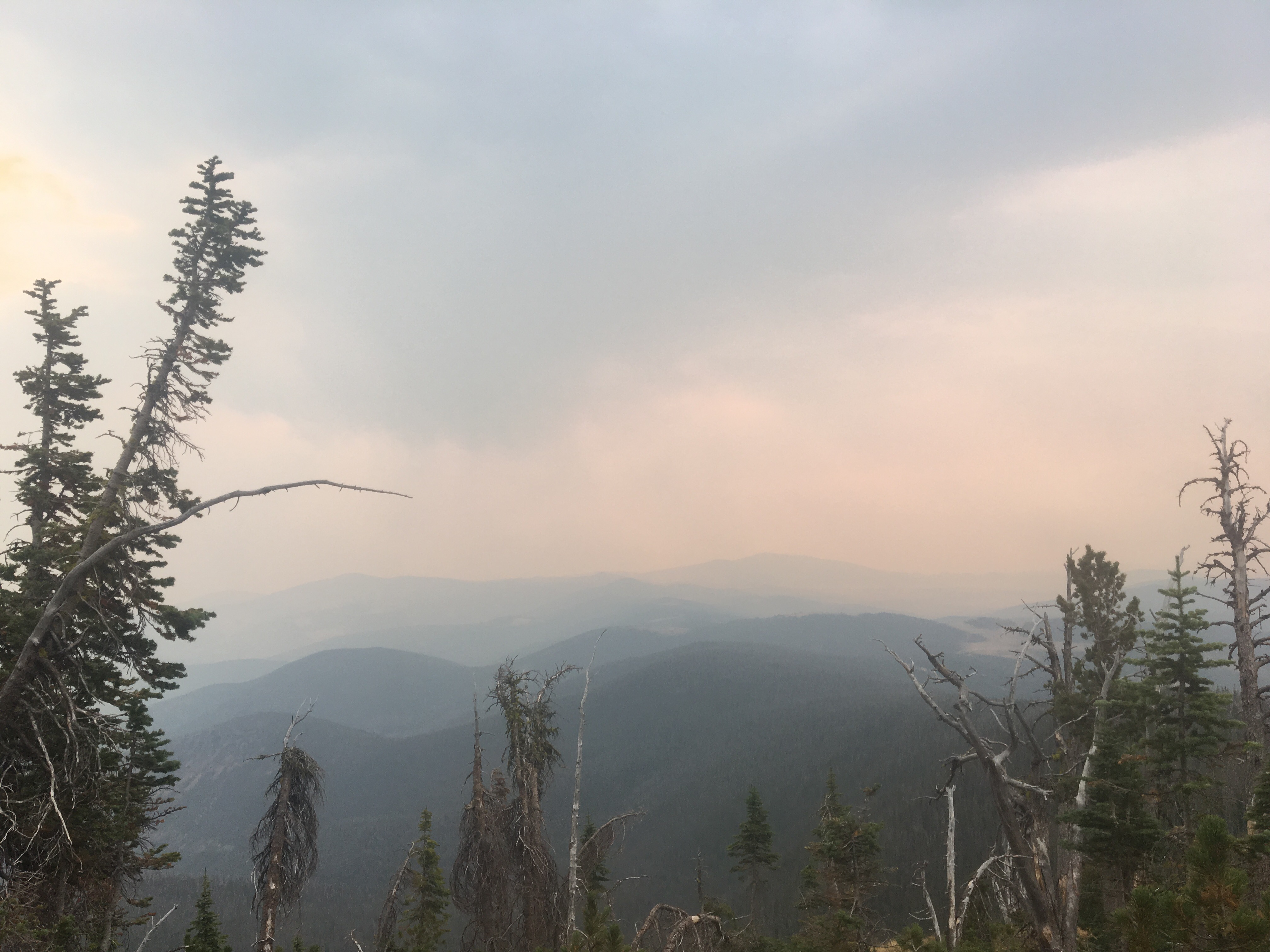
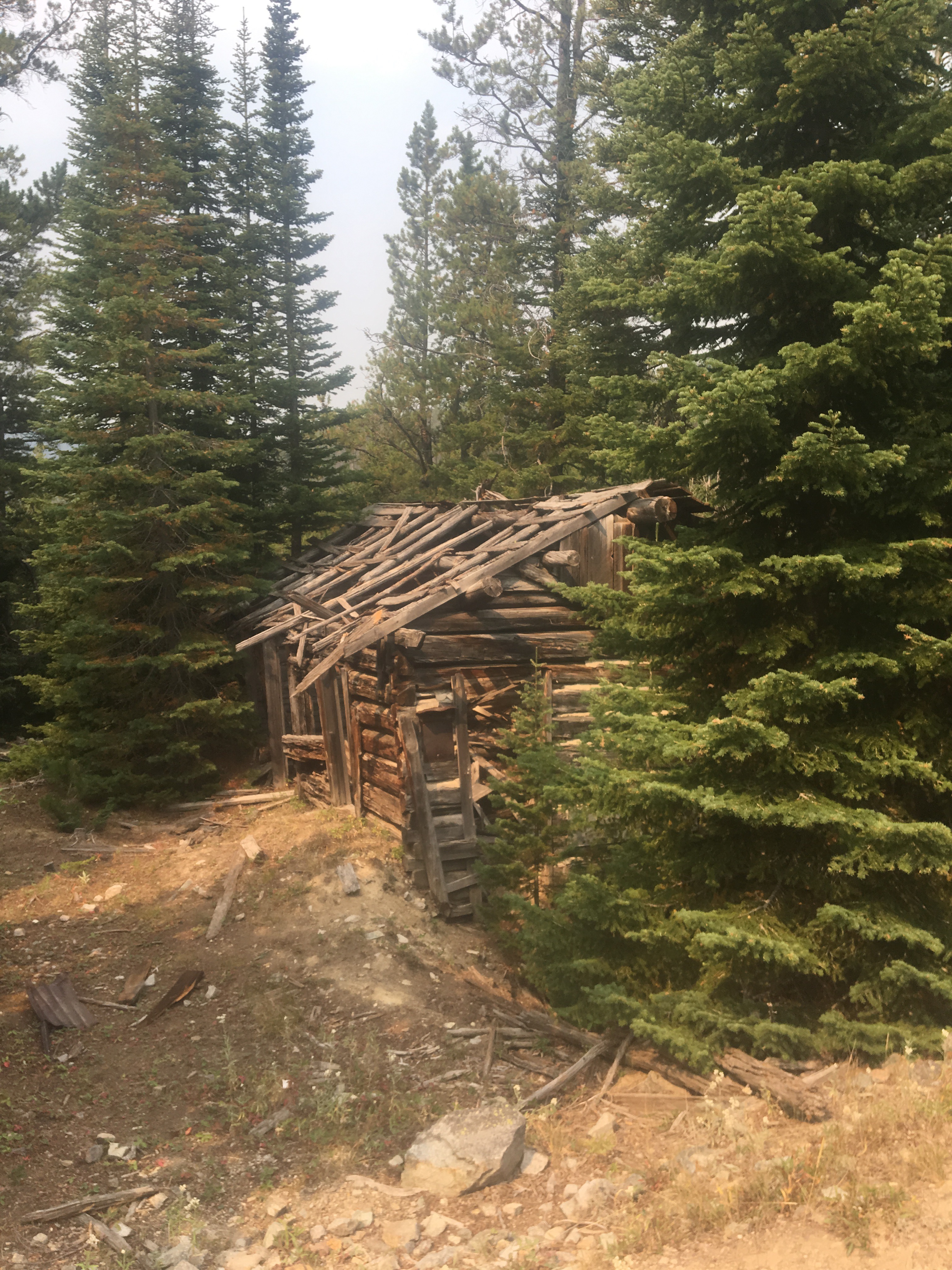
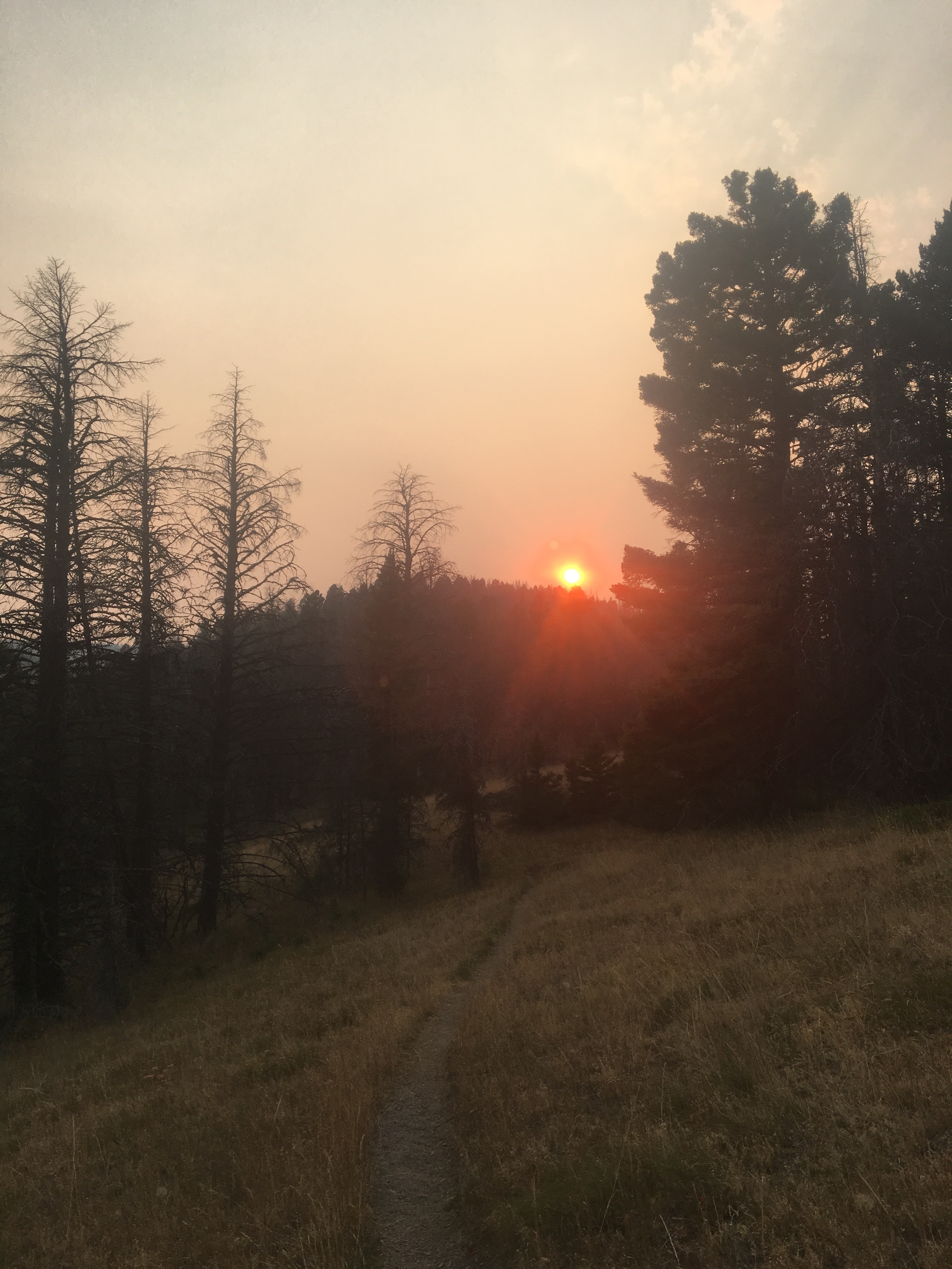
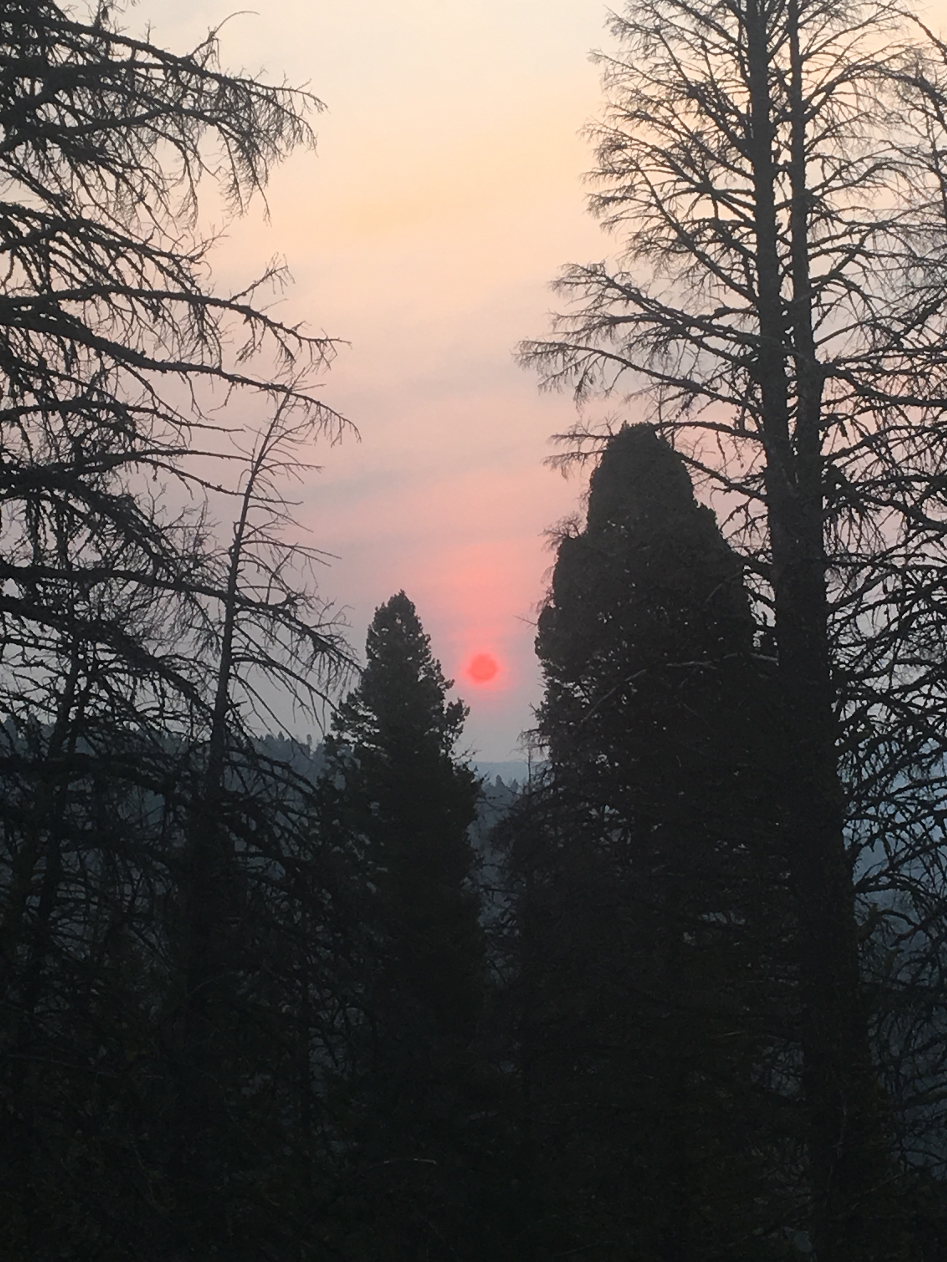
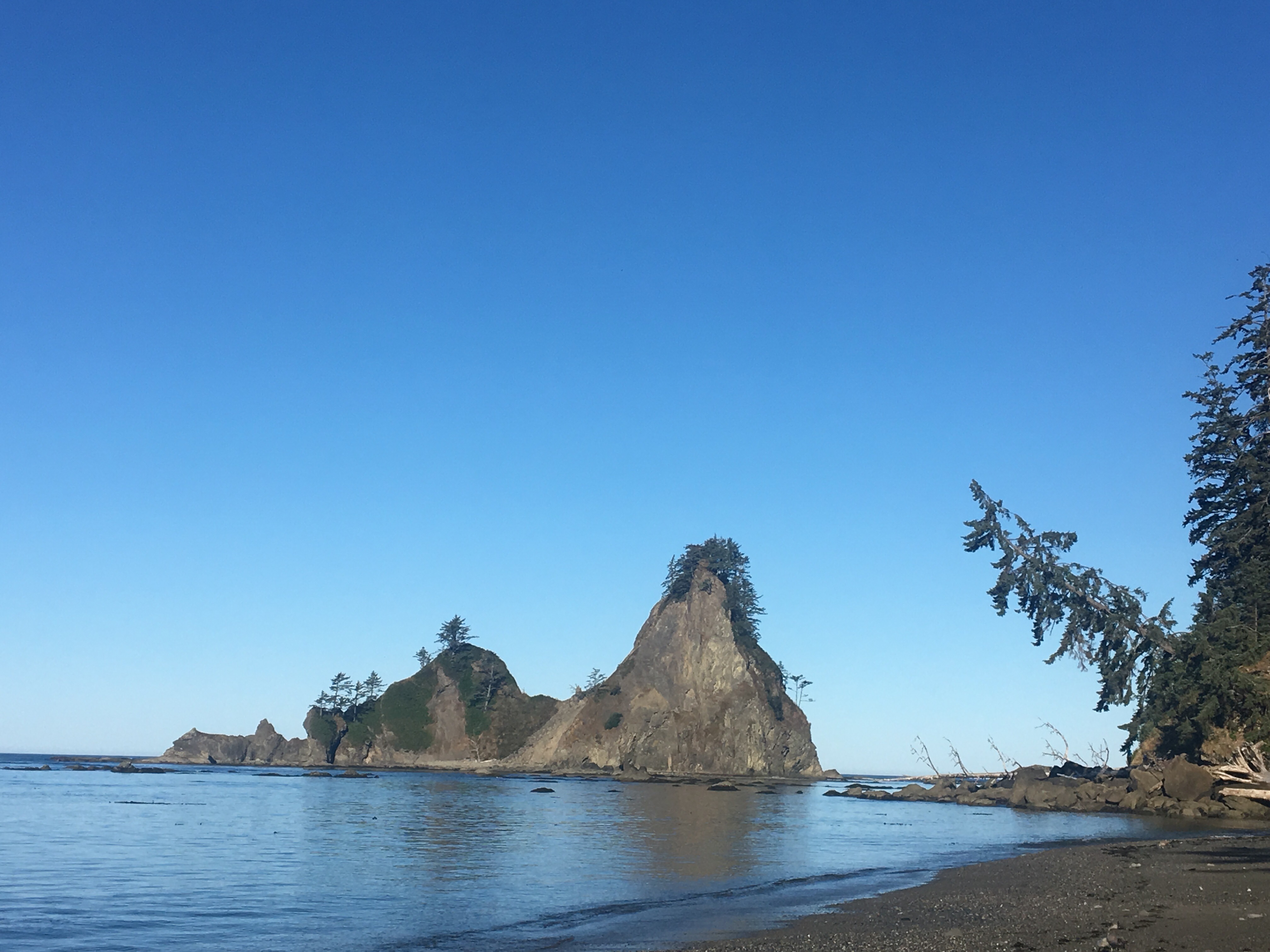
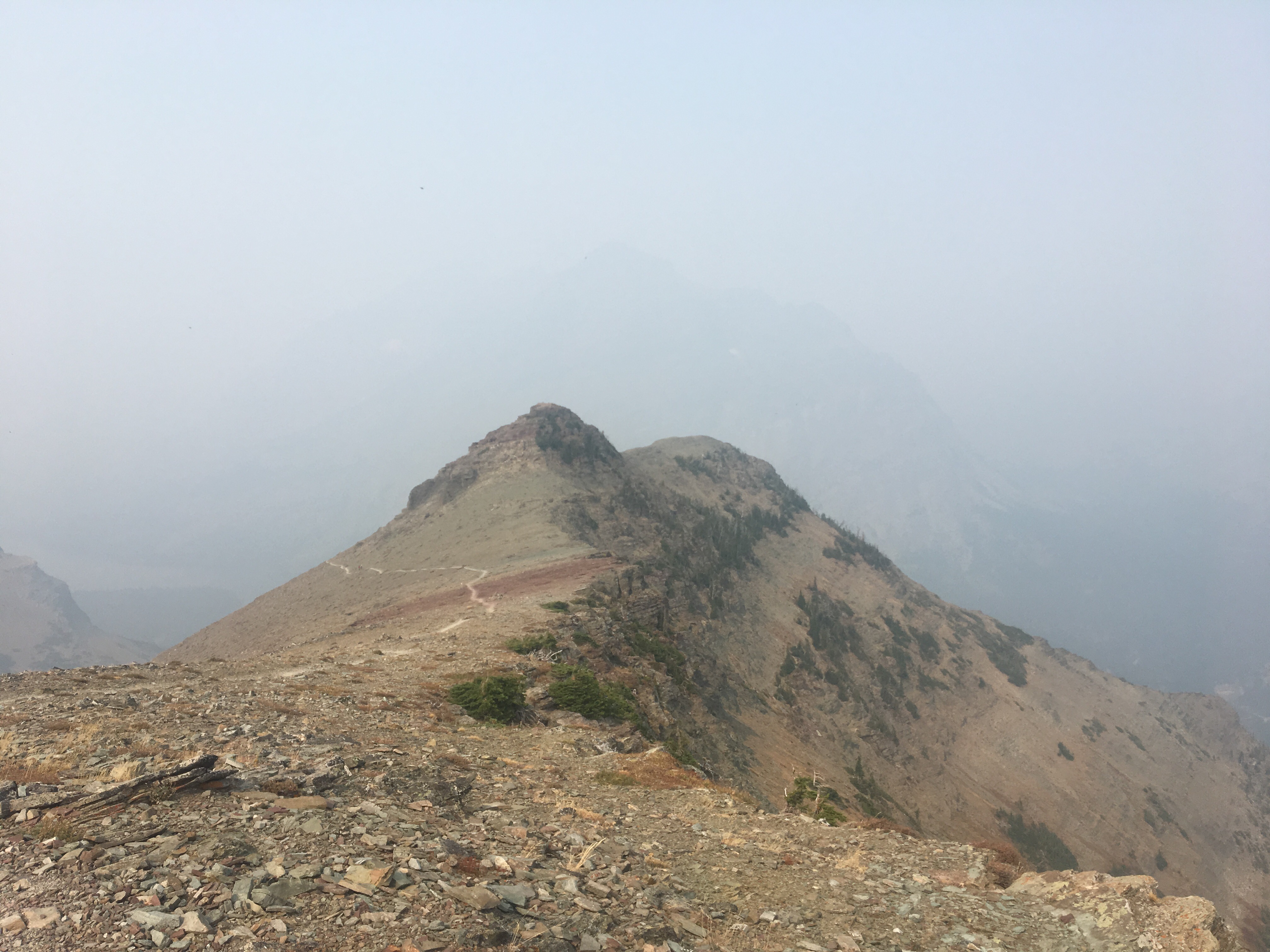
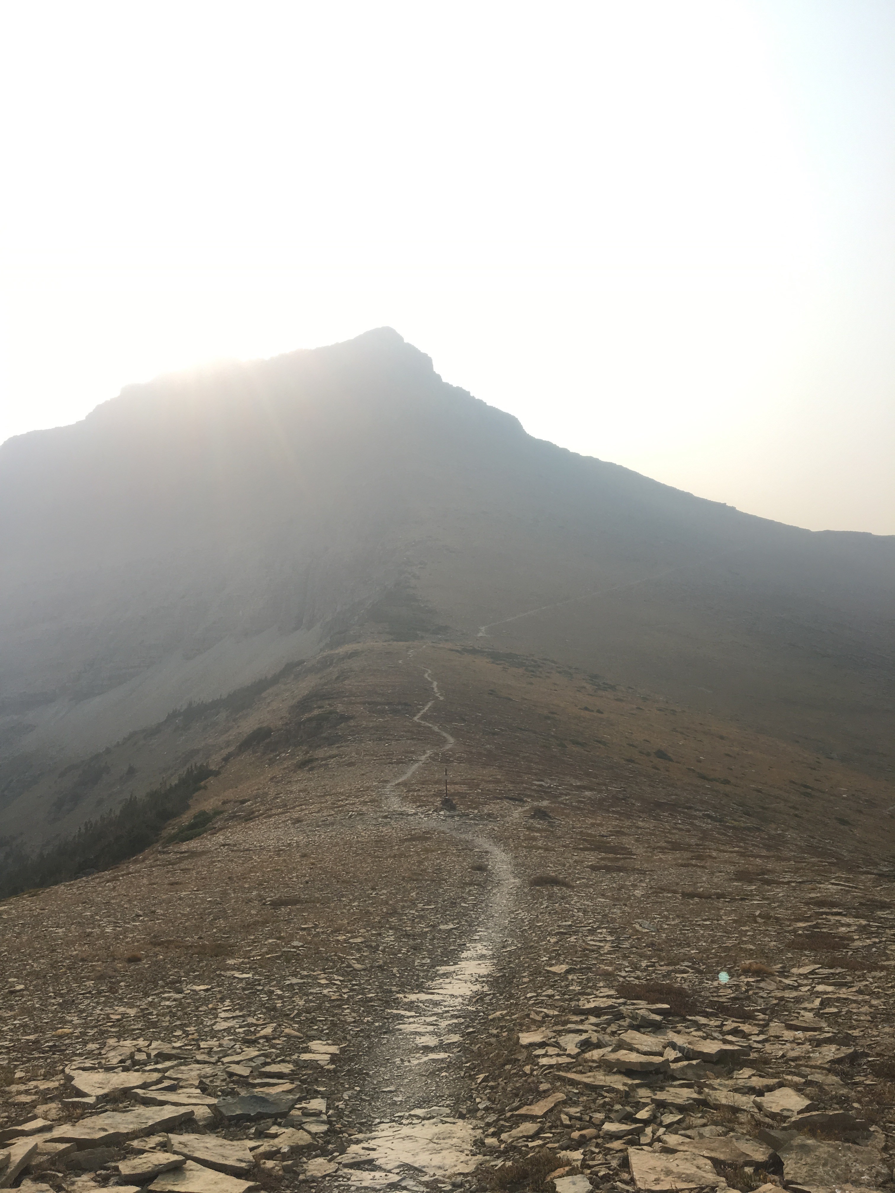
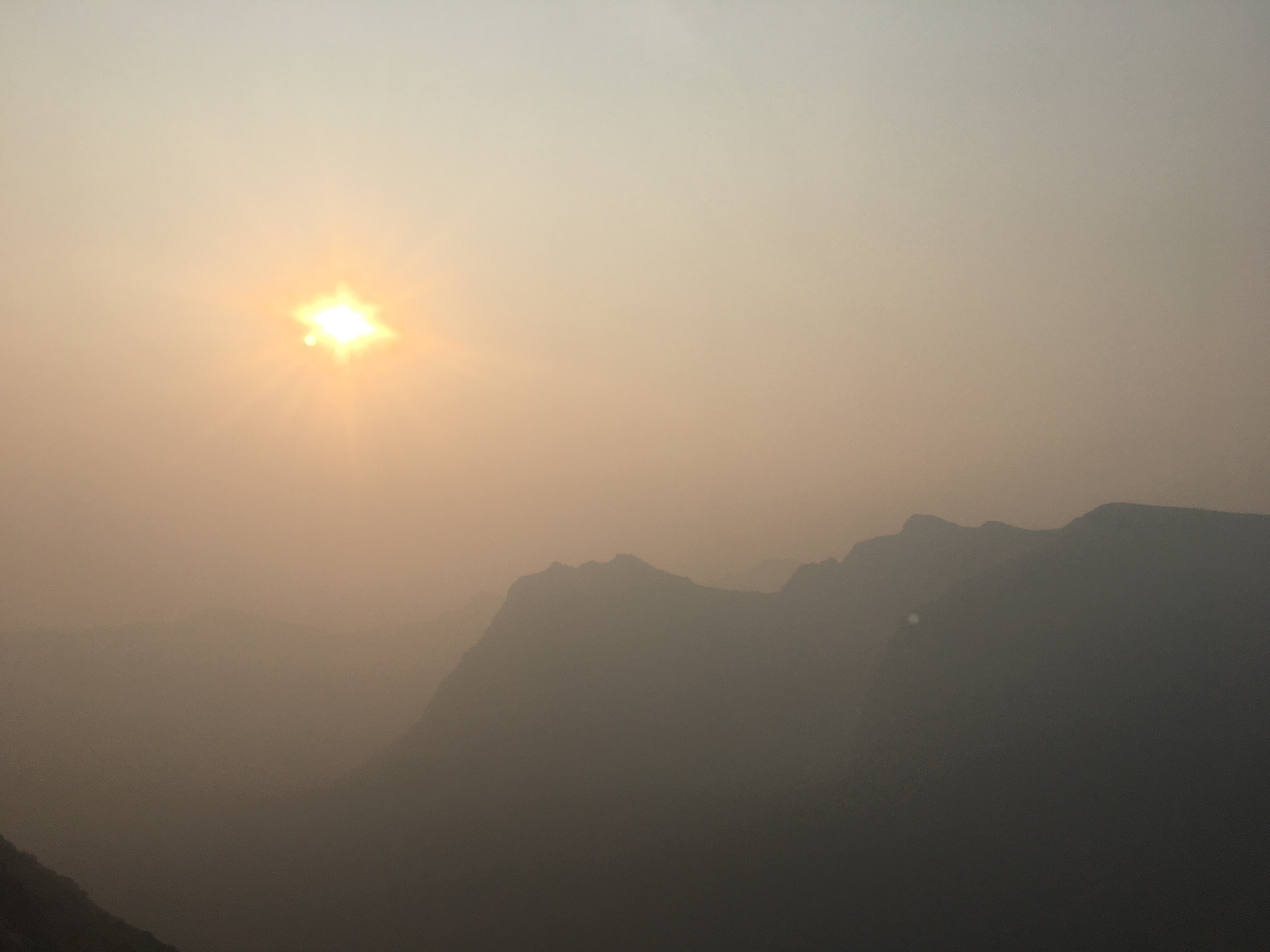
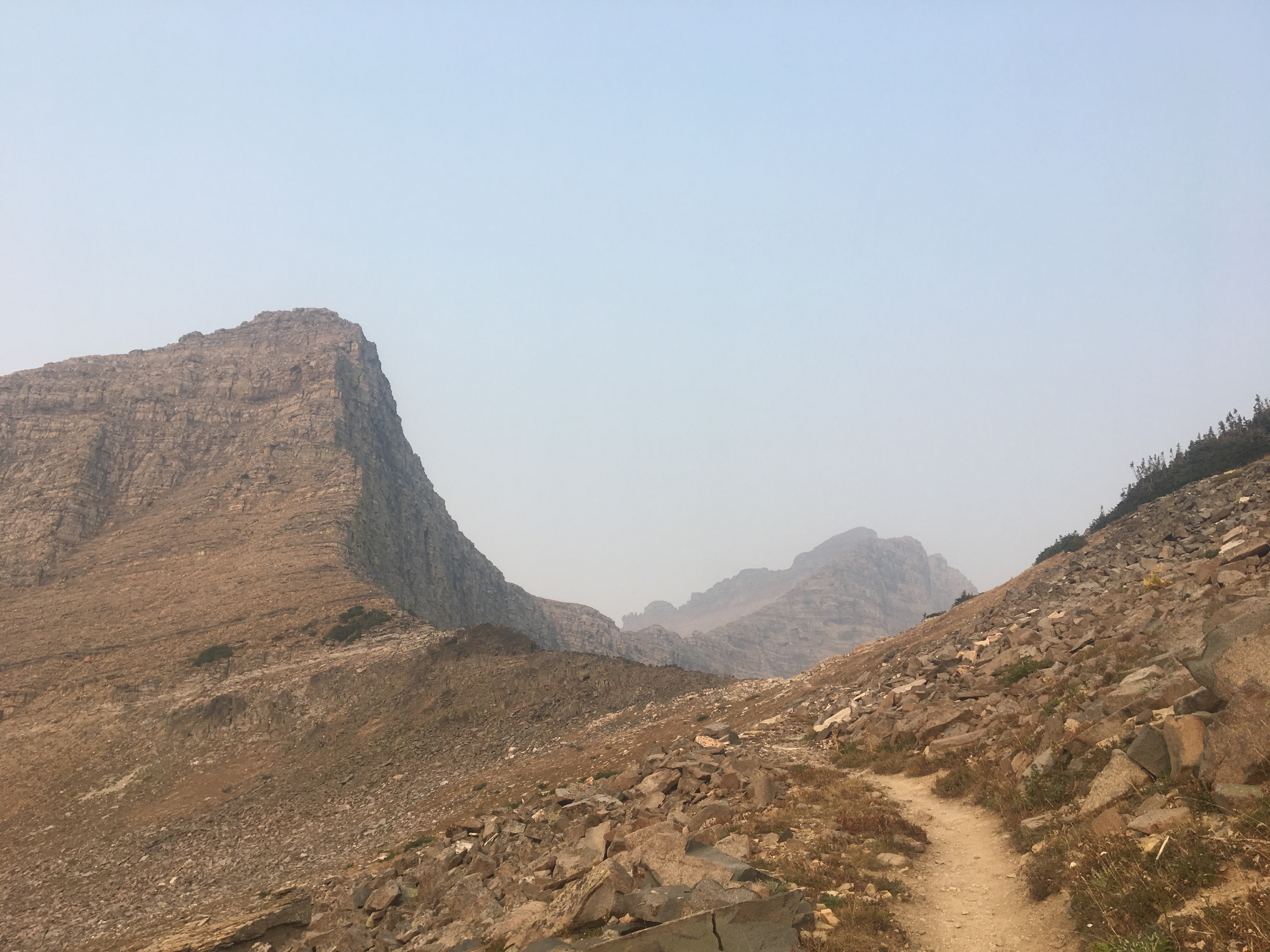
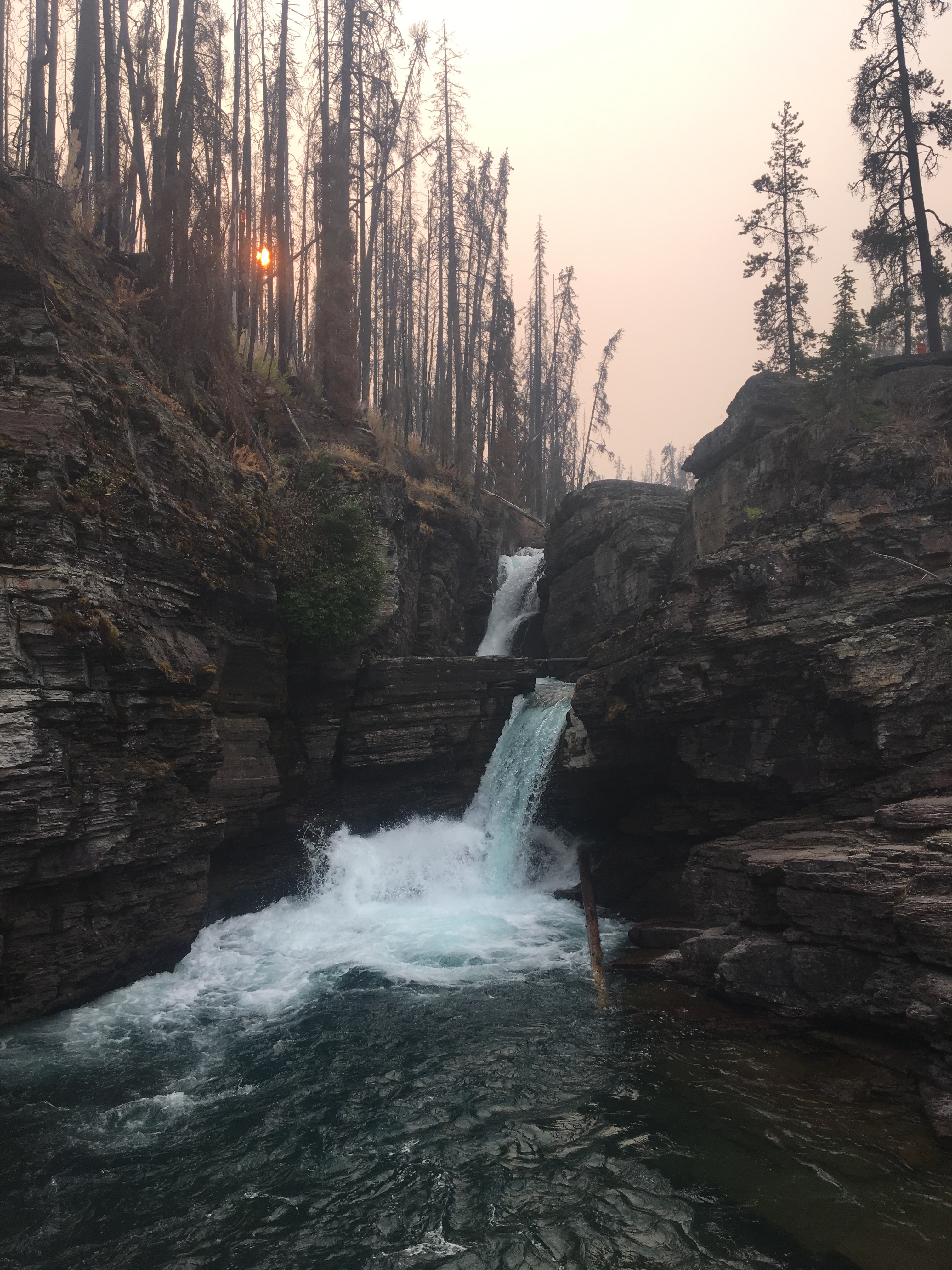
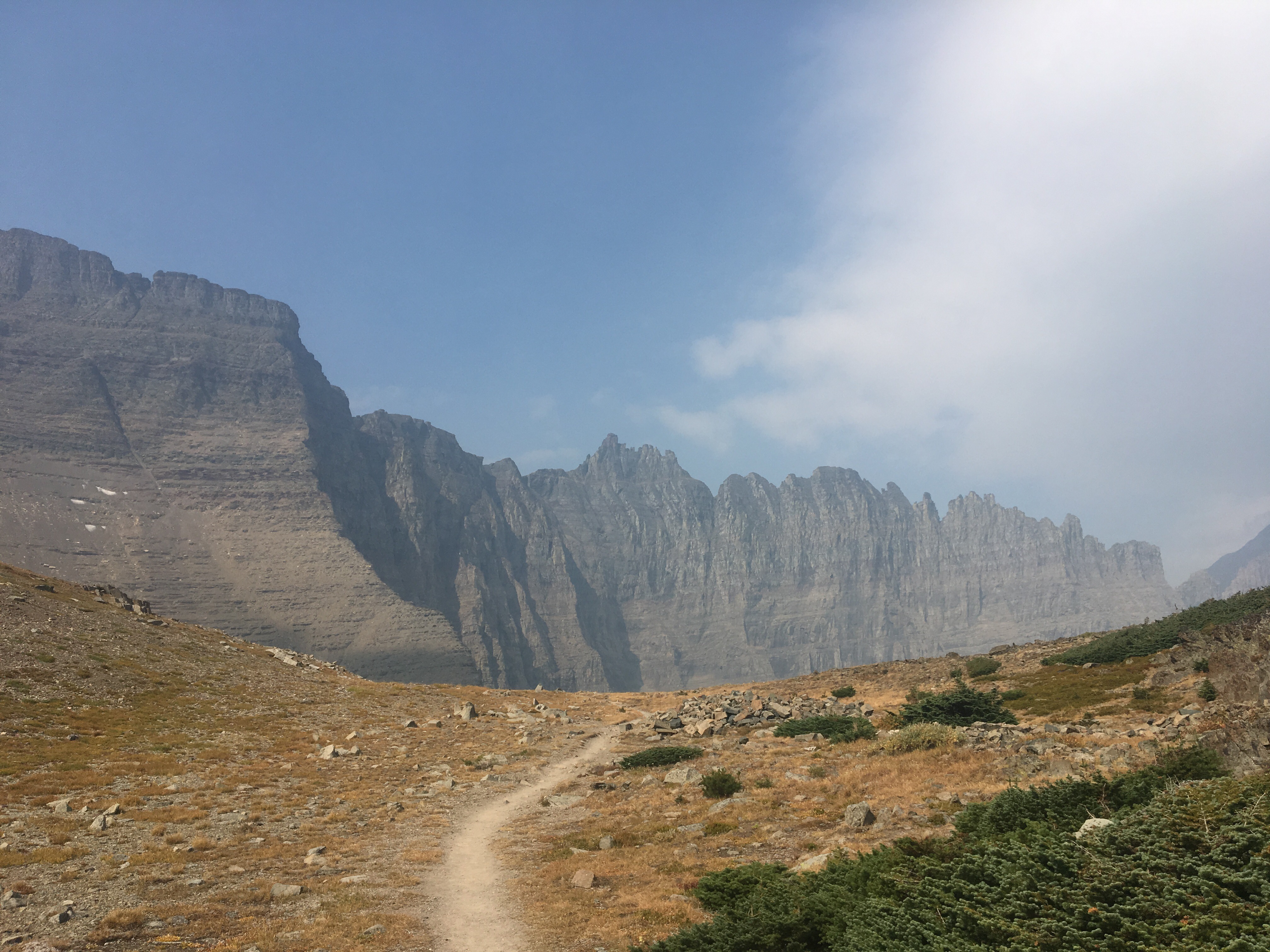
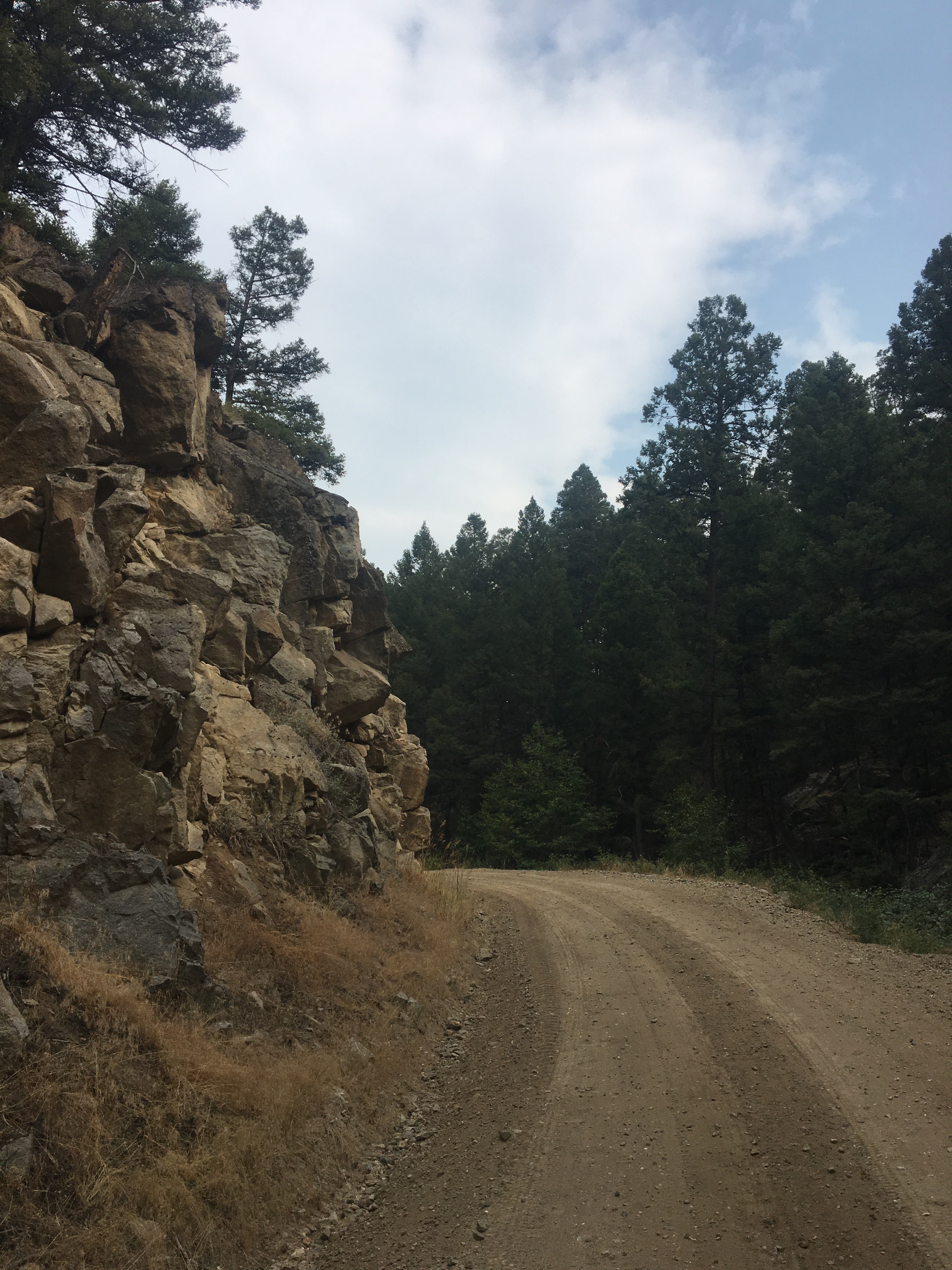
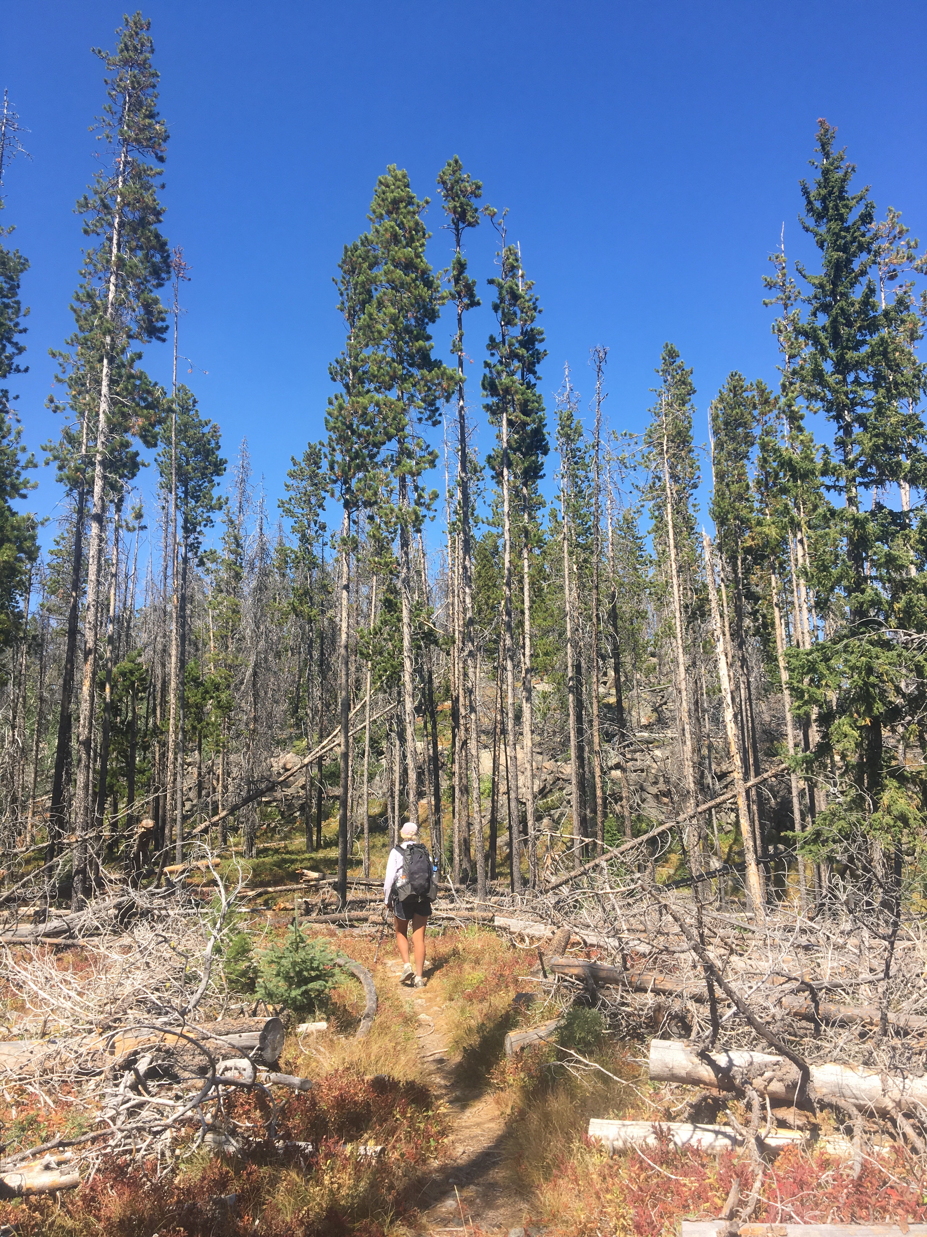
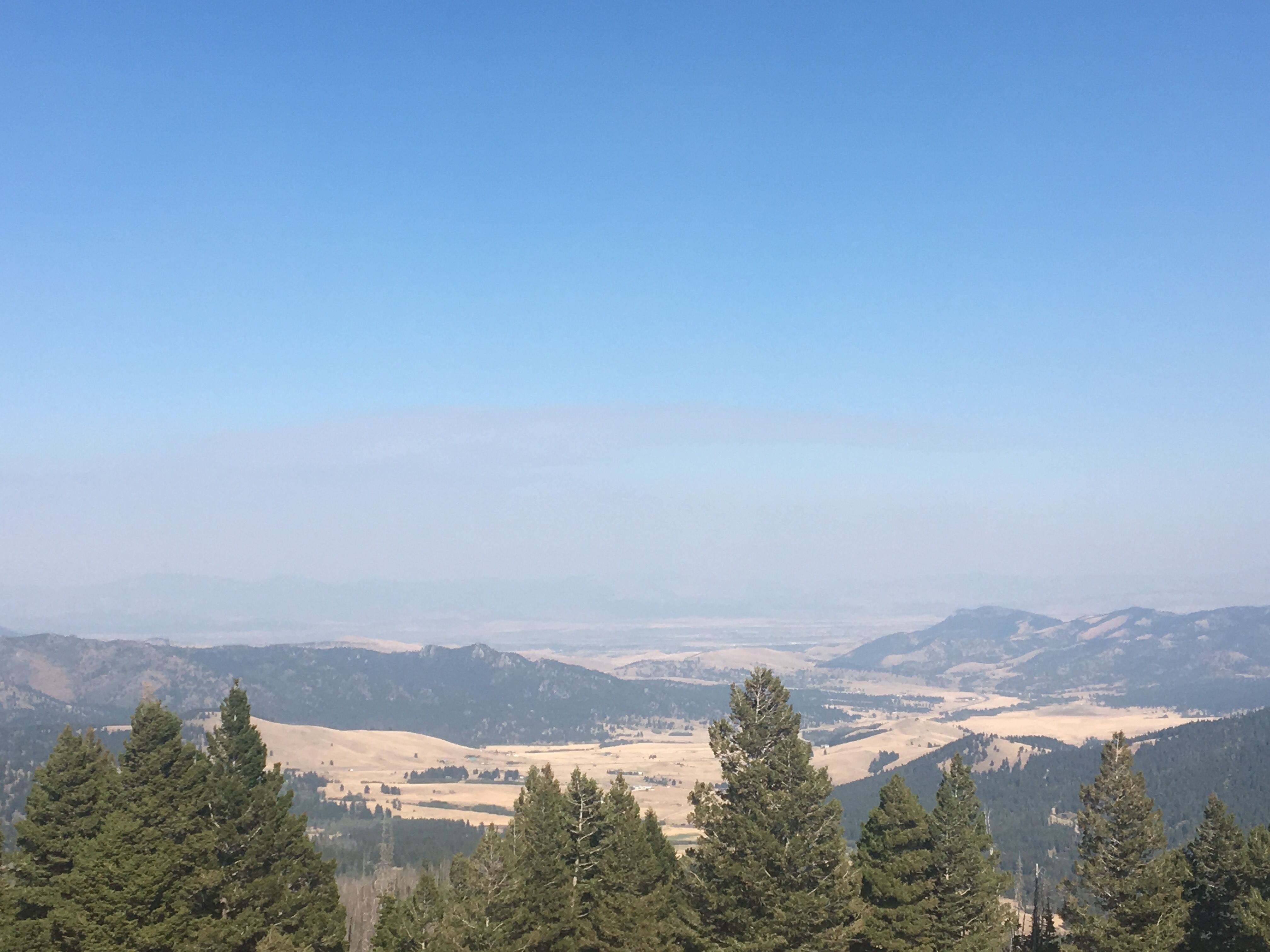
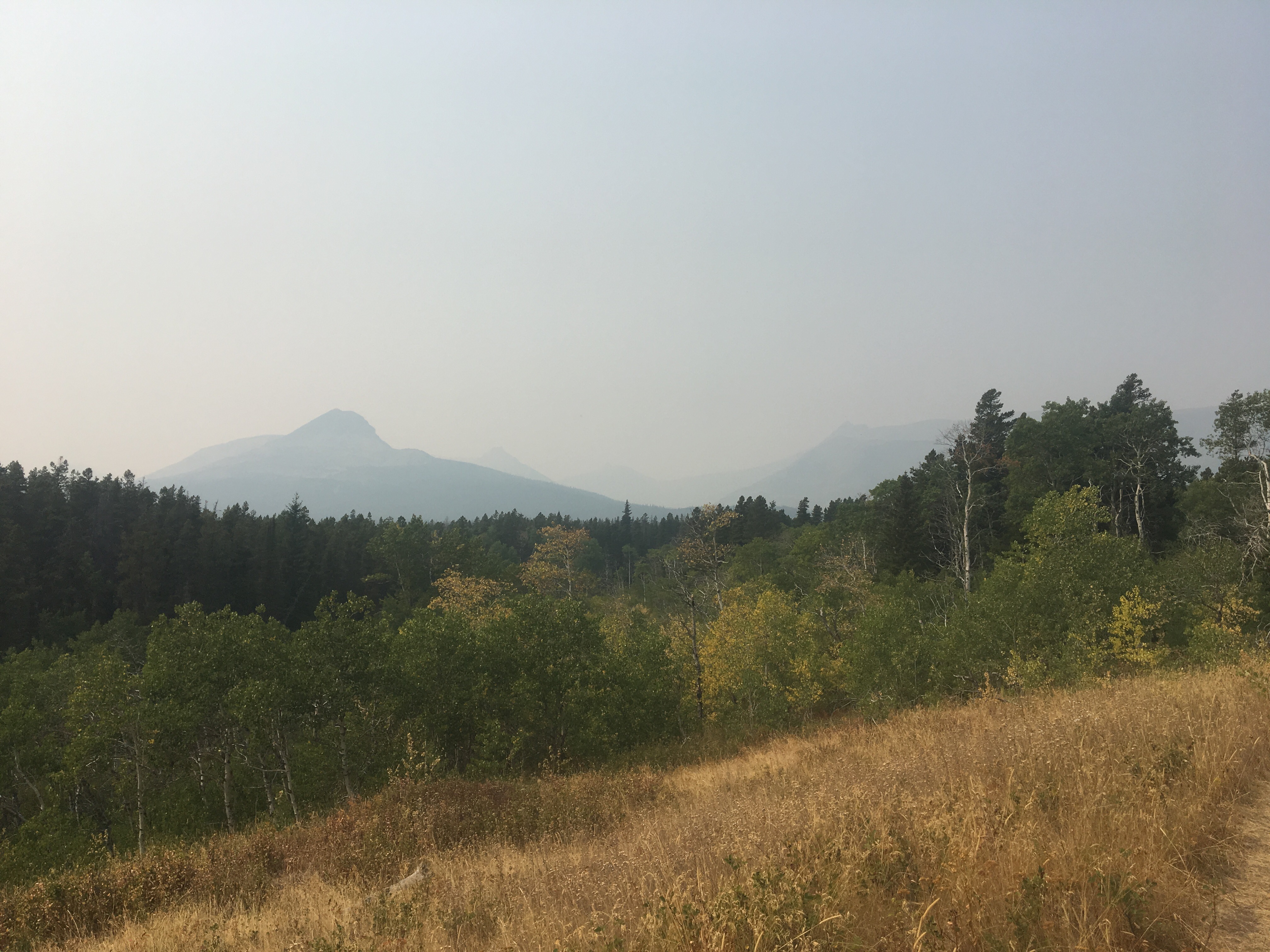 Smoky!
 Ran into Recalculating in town and he’s become quite feral since I first met him in New Mexico, his shoes look like they got struck by lightning
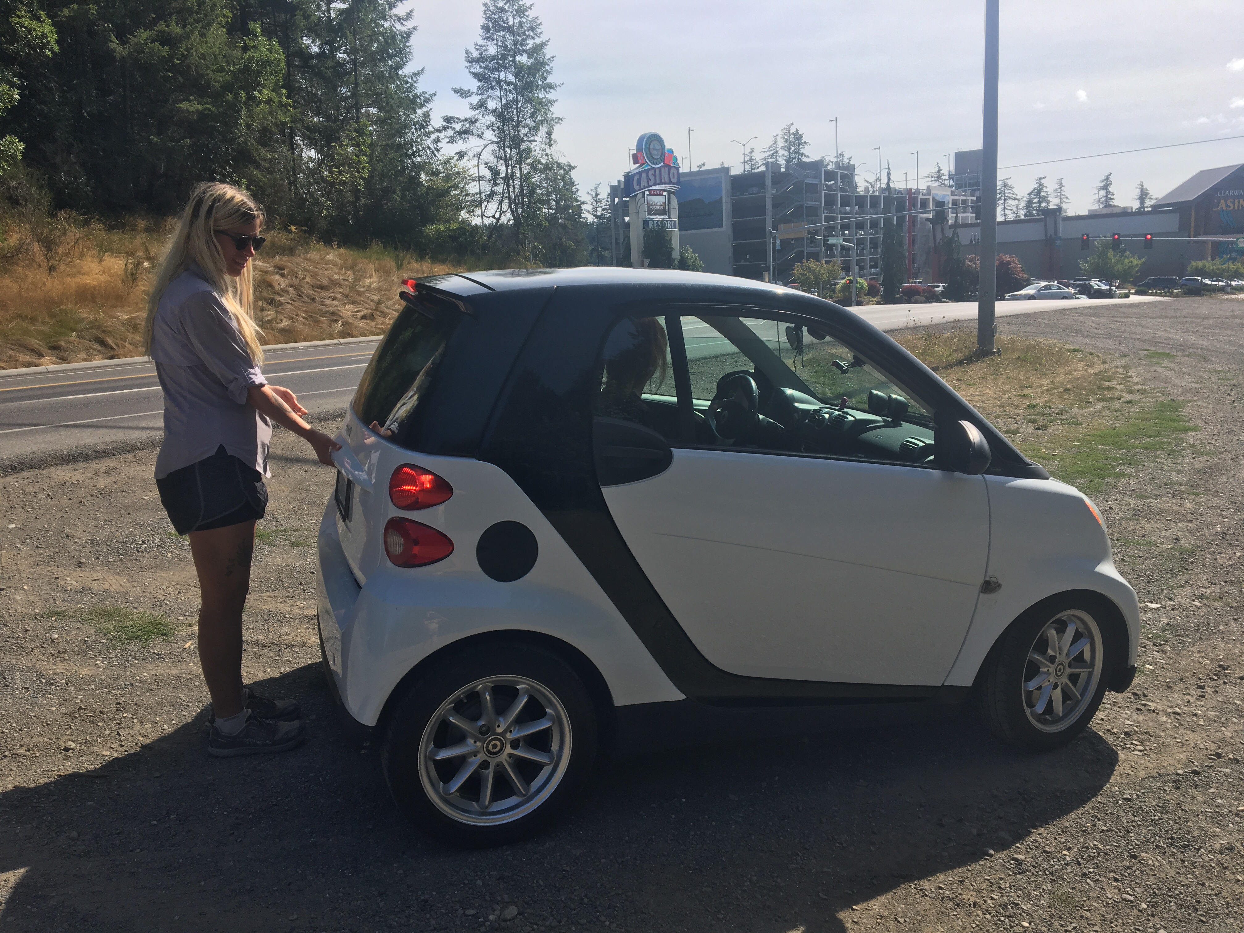
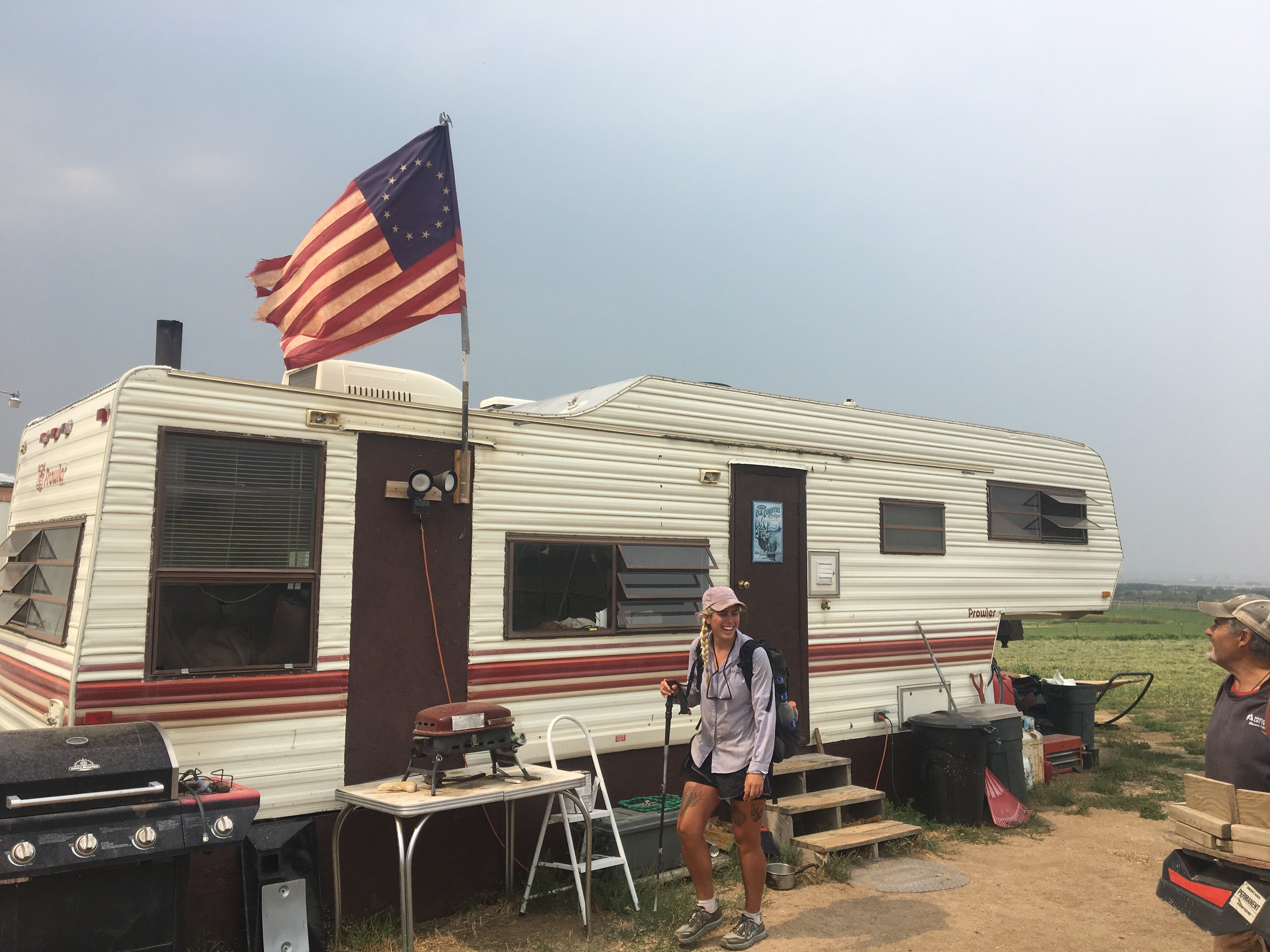
  This license plate has my name on it
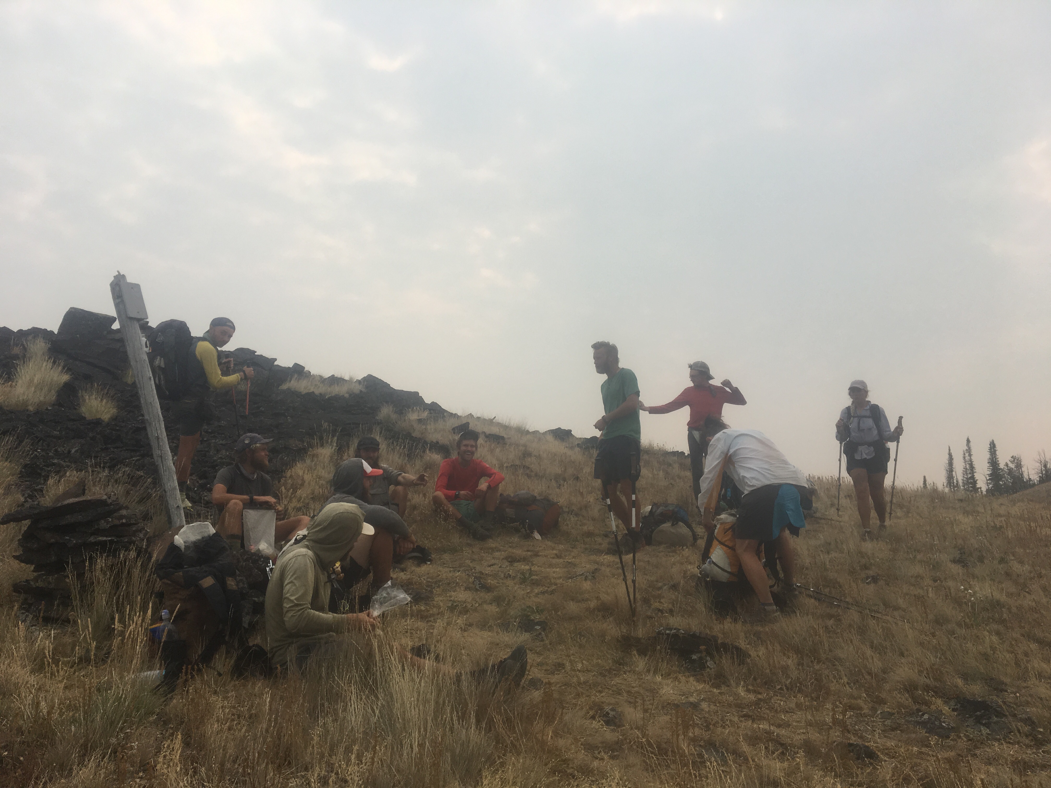
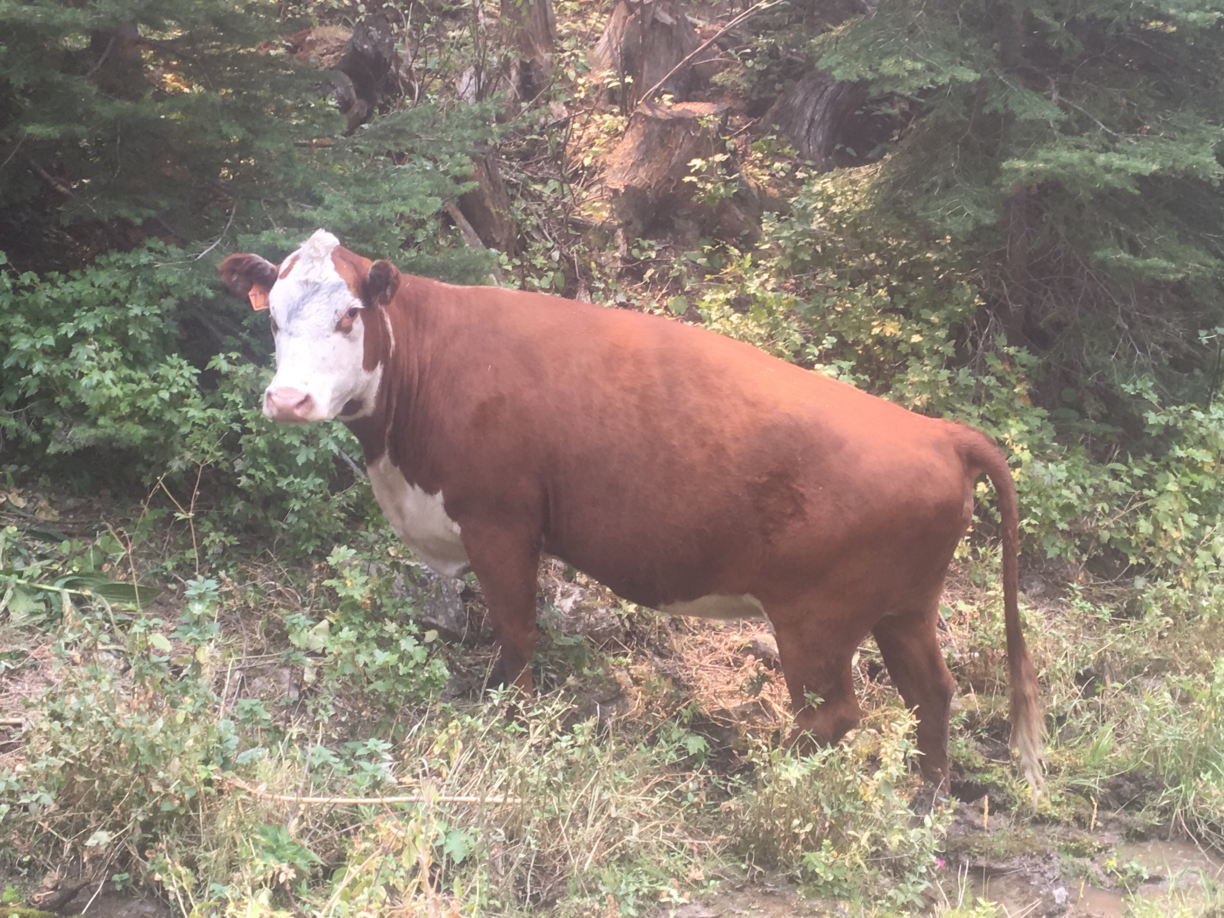
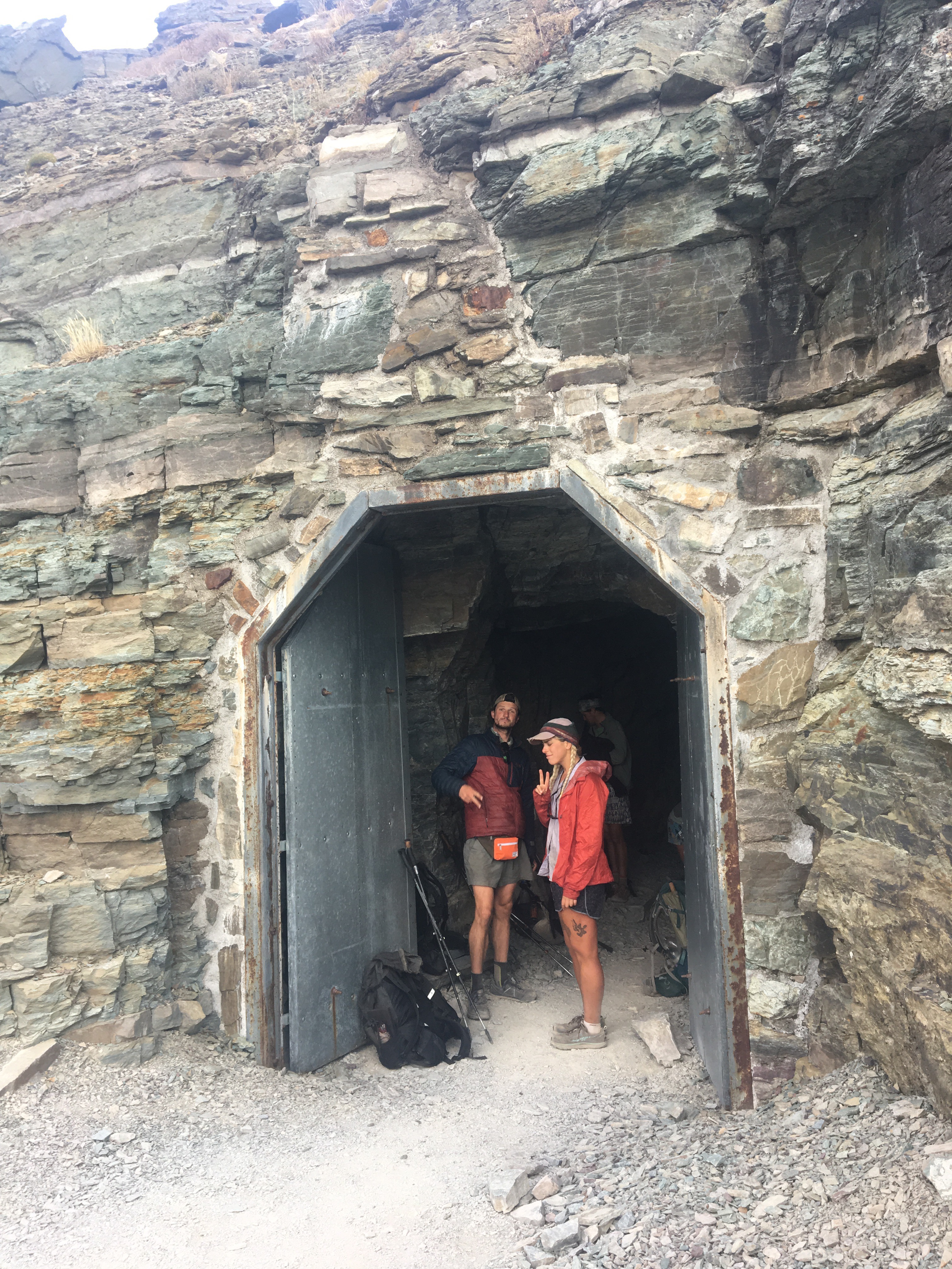
 A couple of bros just chilling out
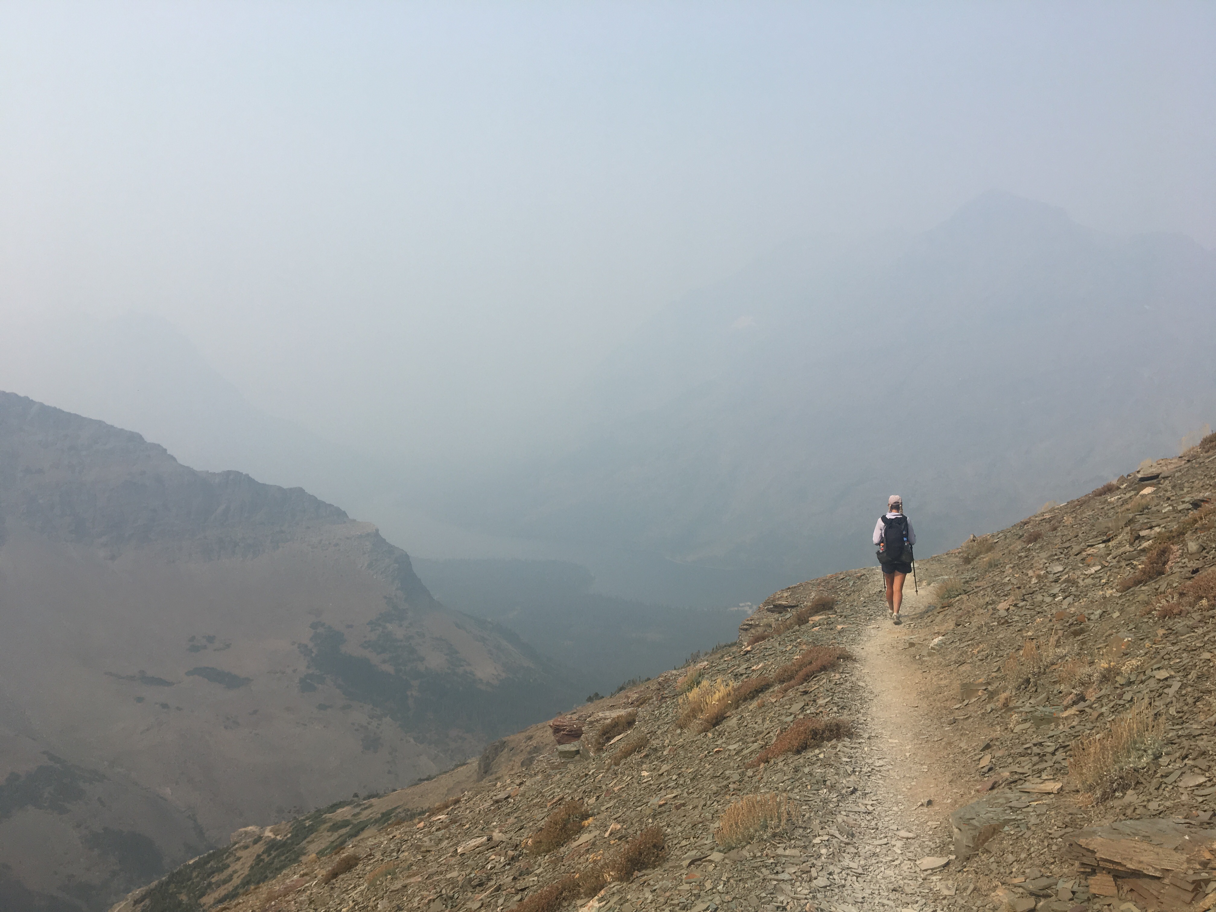
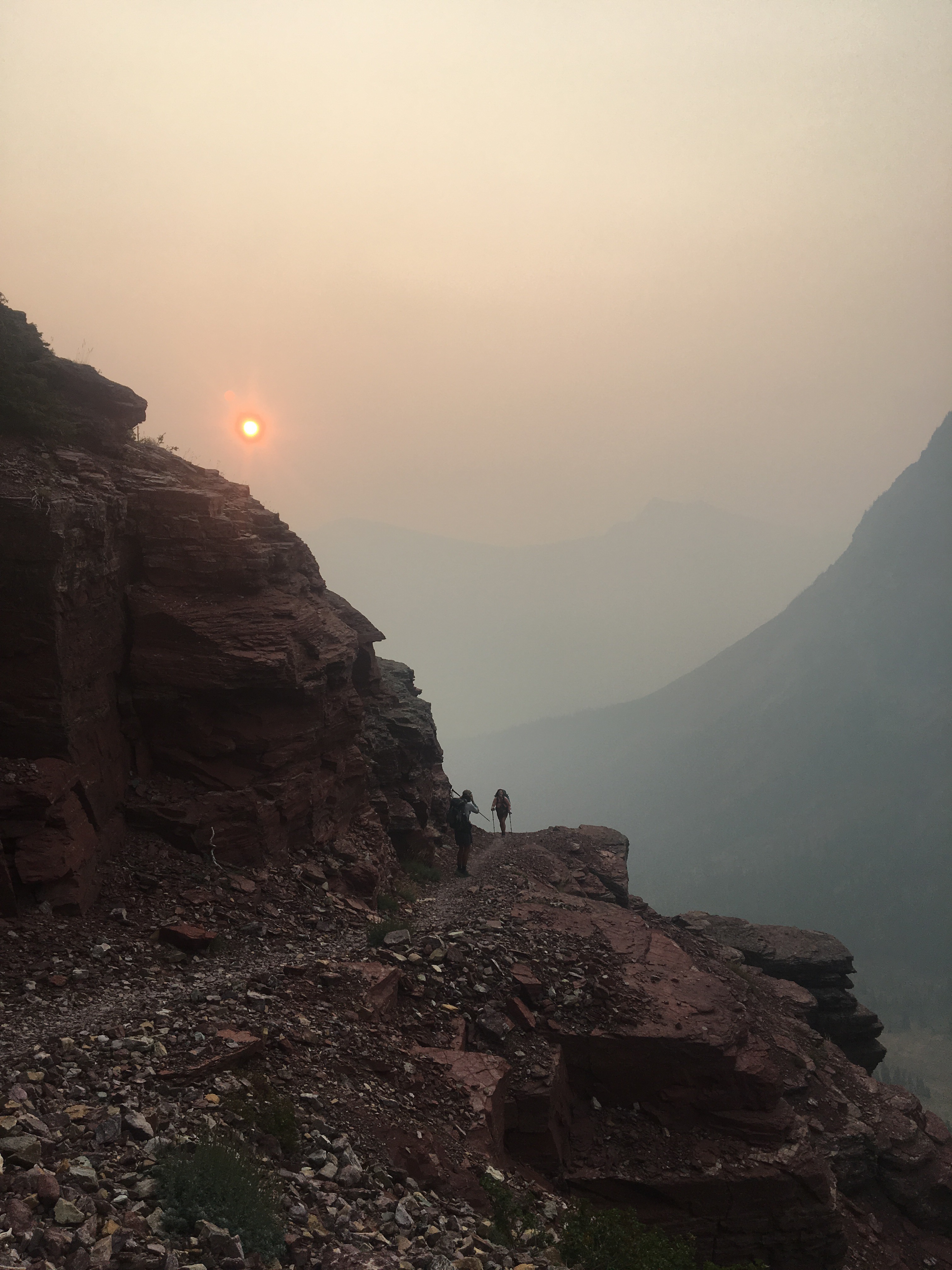


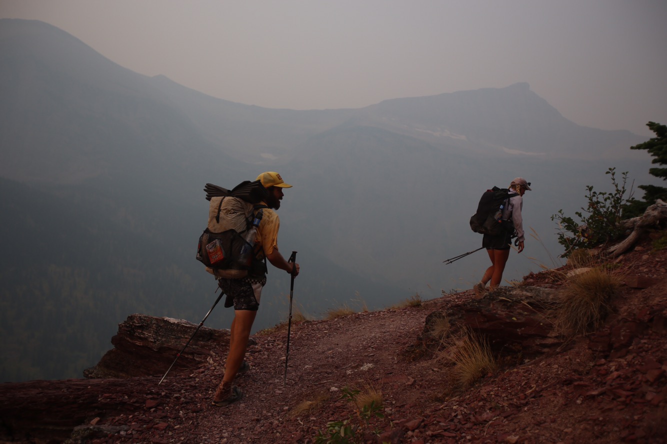
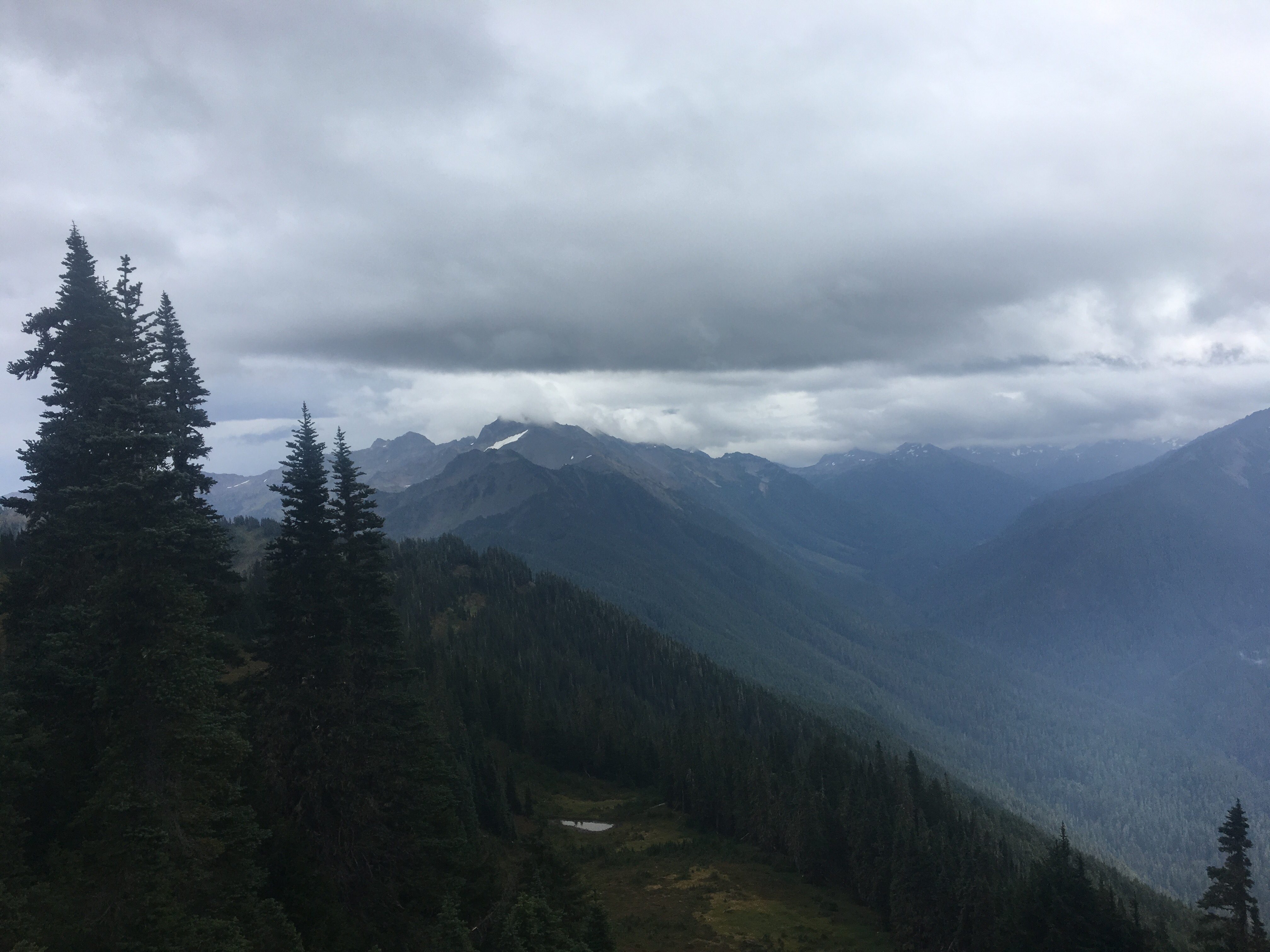
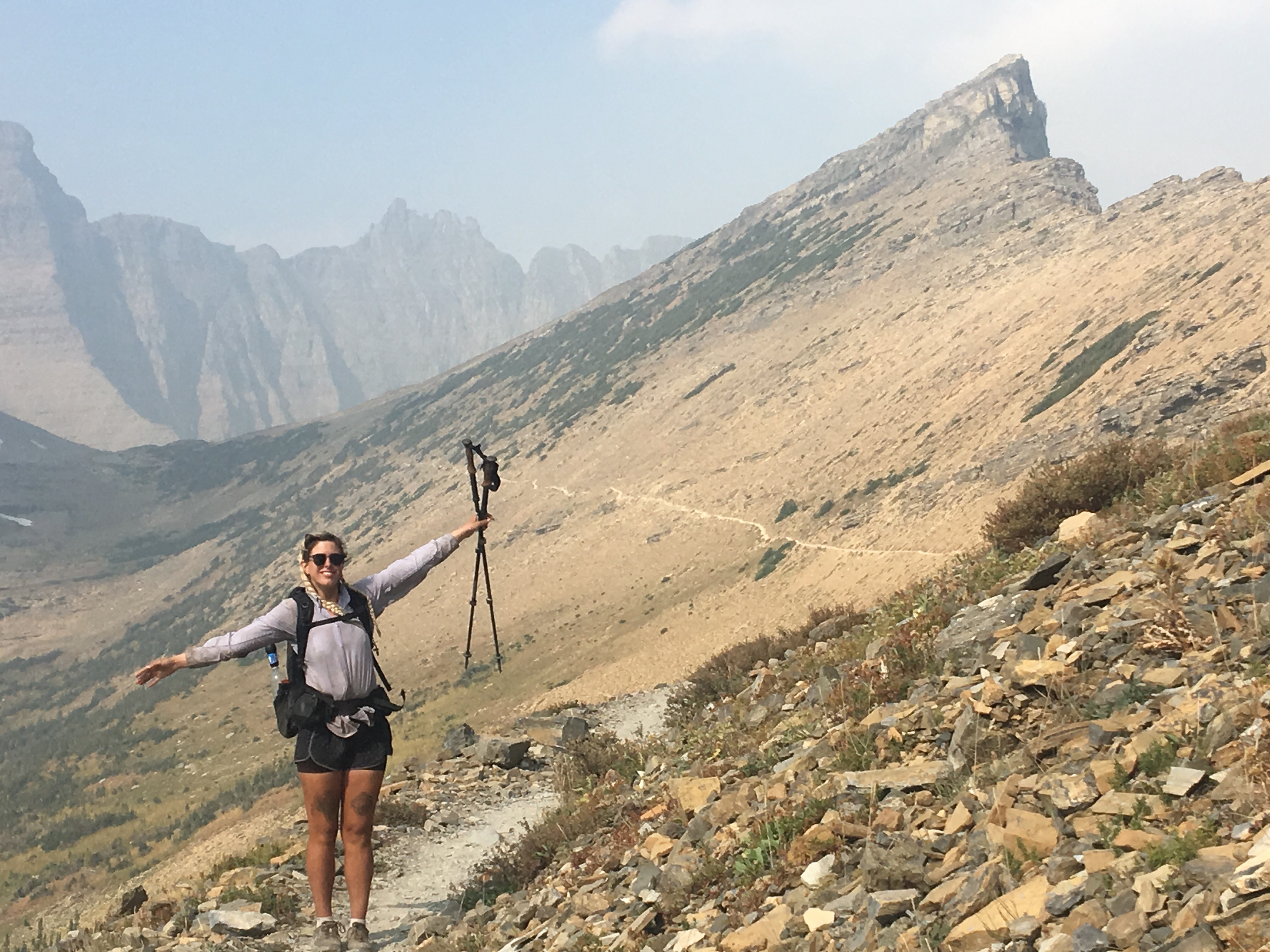
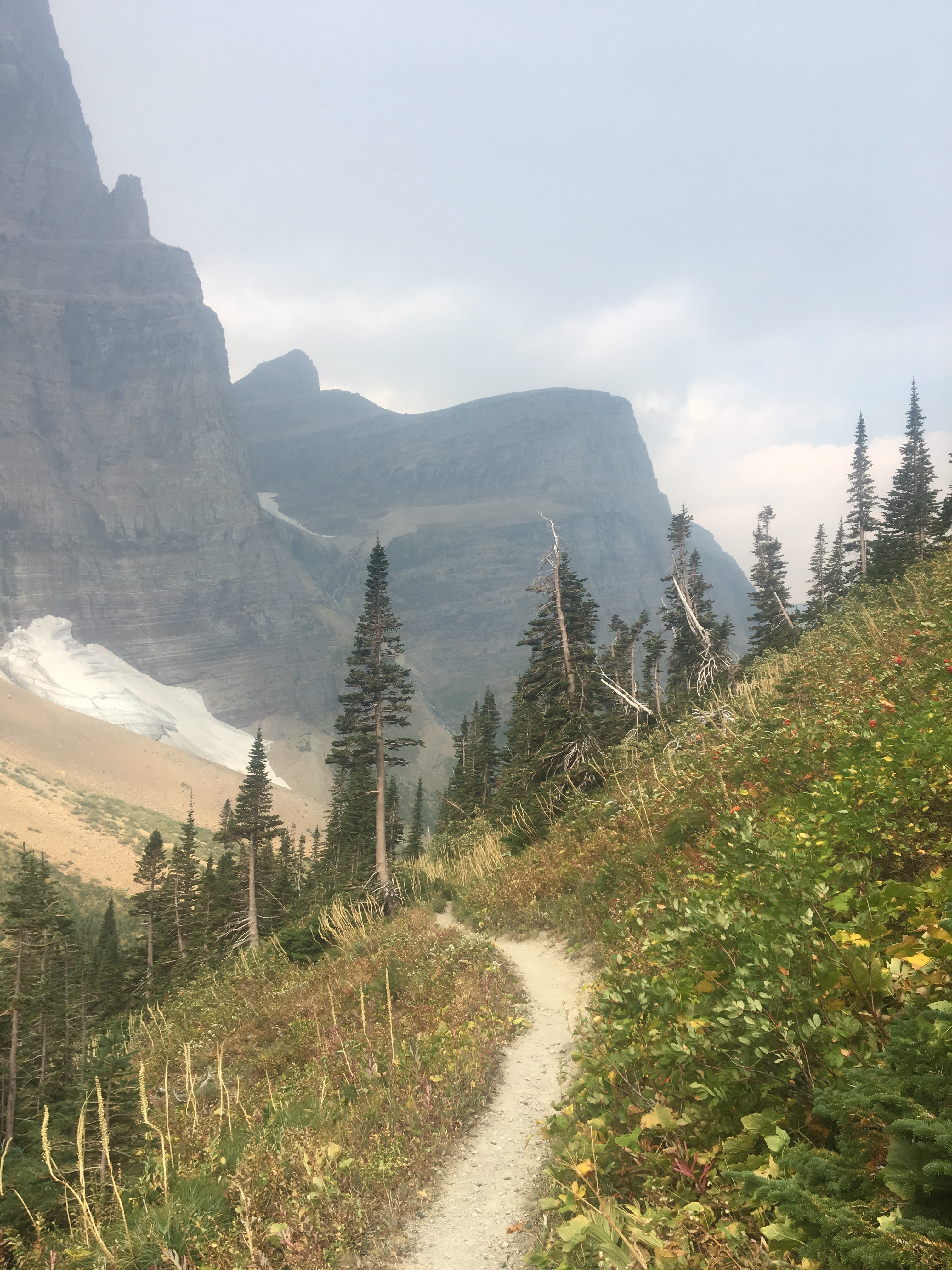
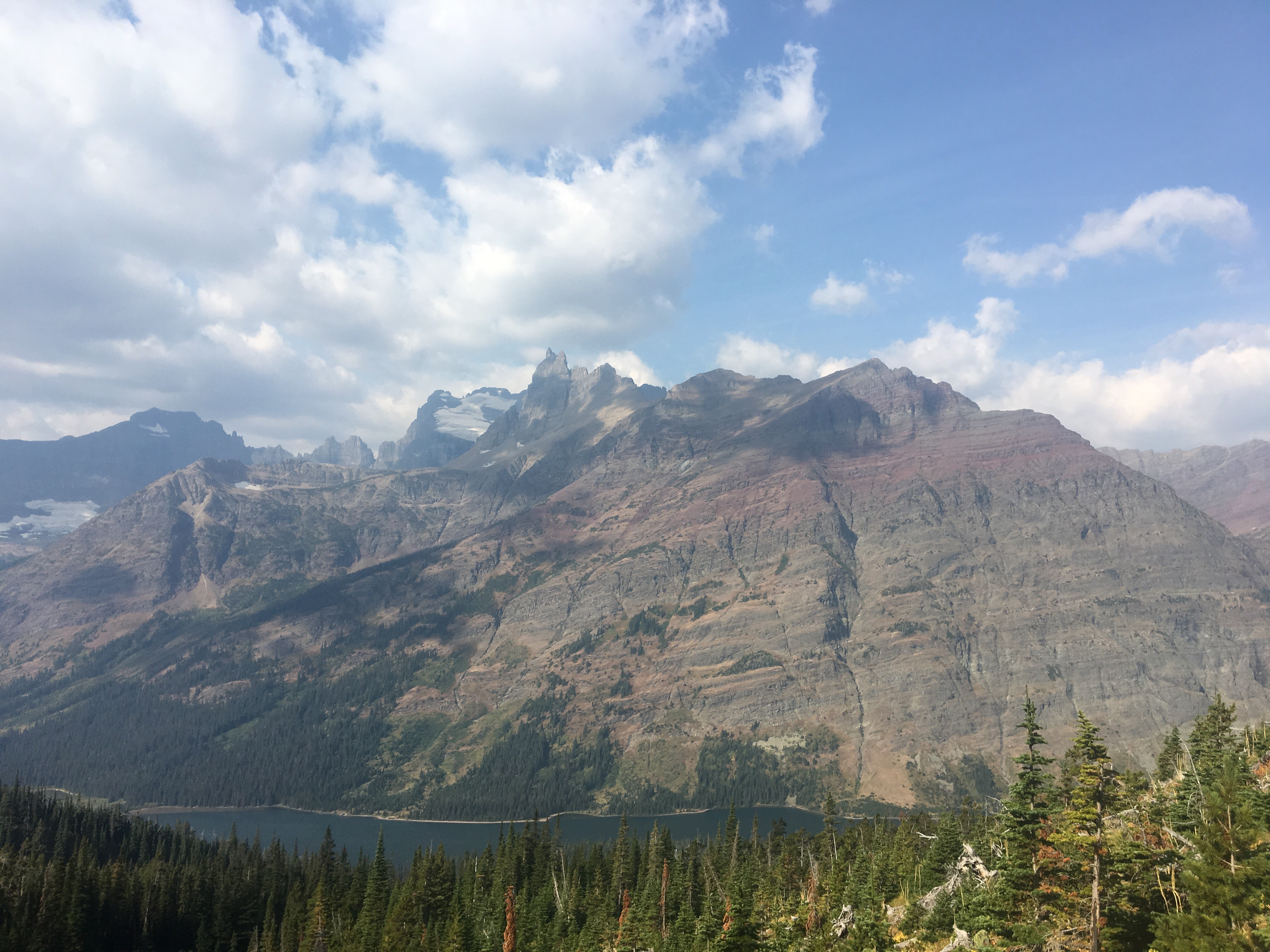
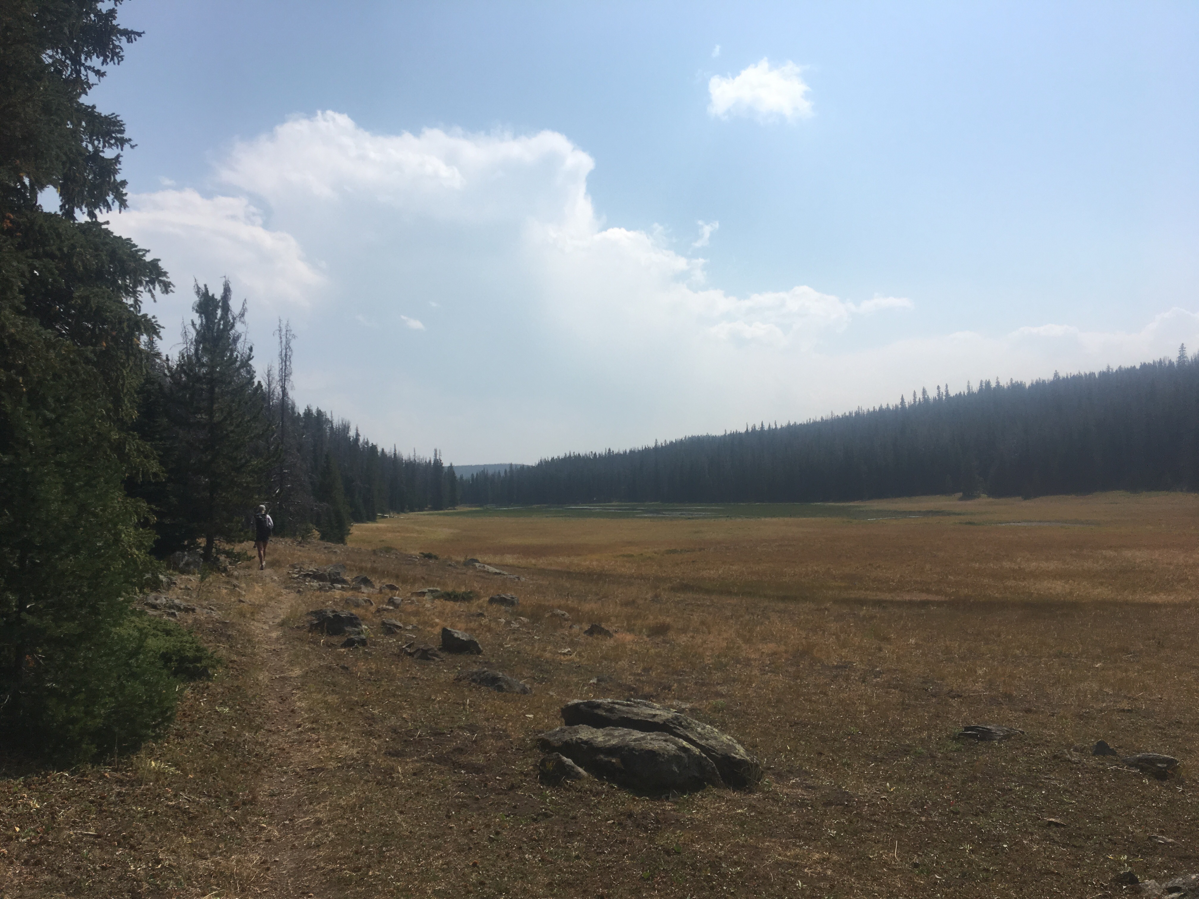
 Triple Divide Pass
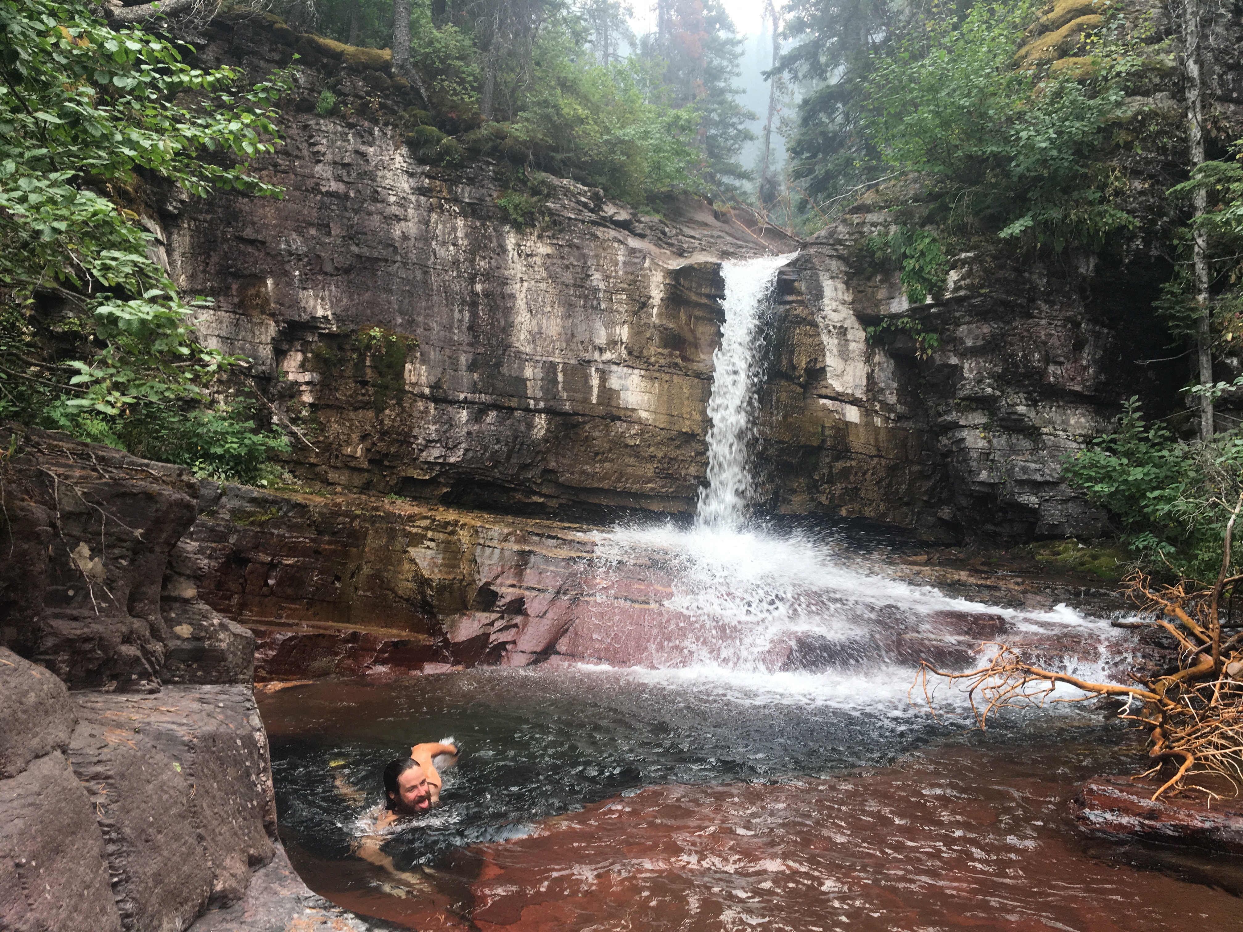
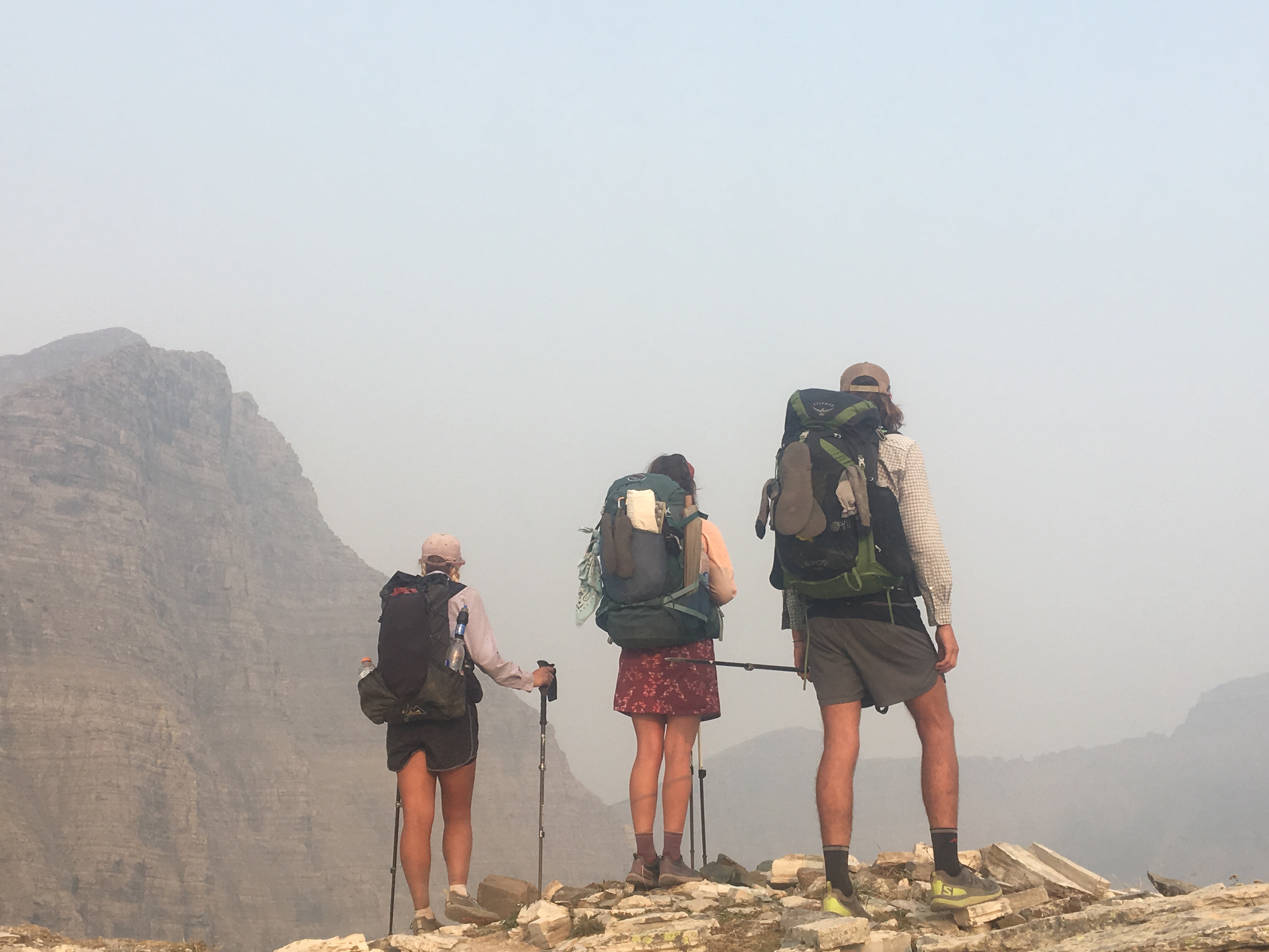
 Queen B. Macklemore
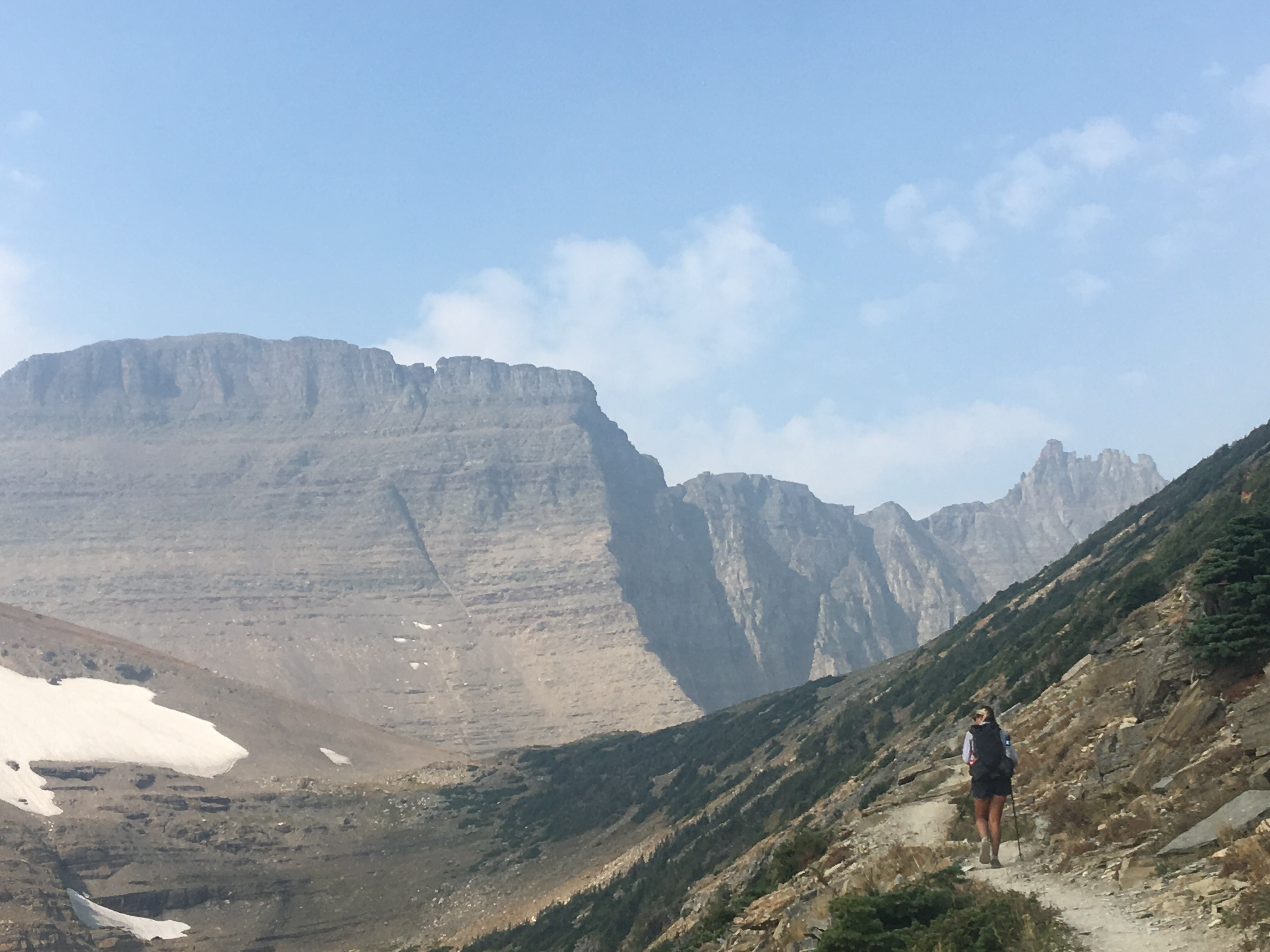

 Breaking camp on our last morning
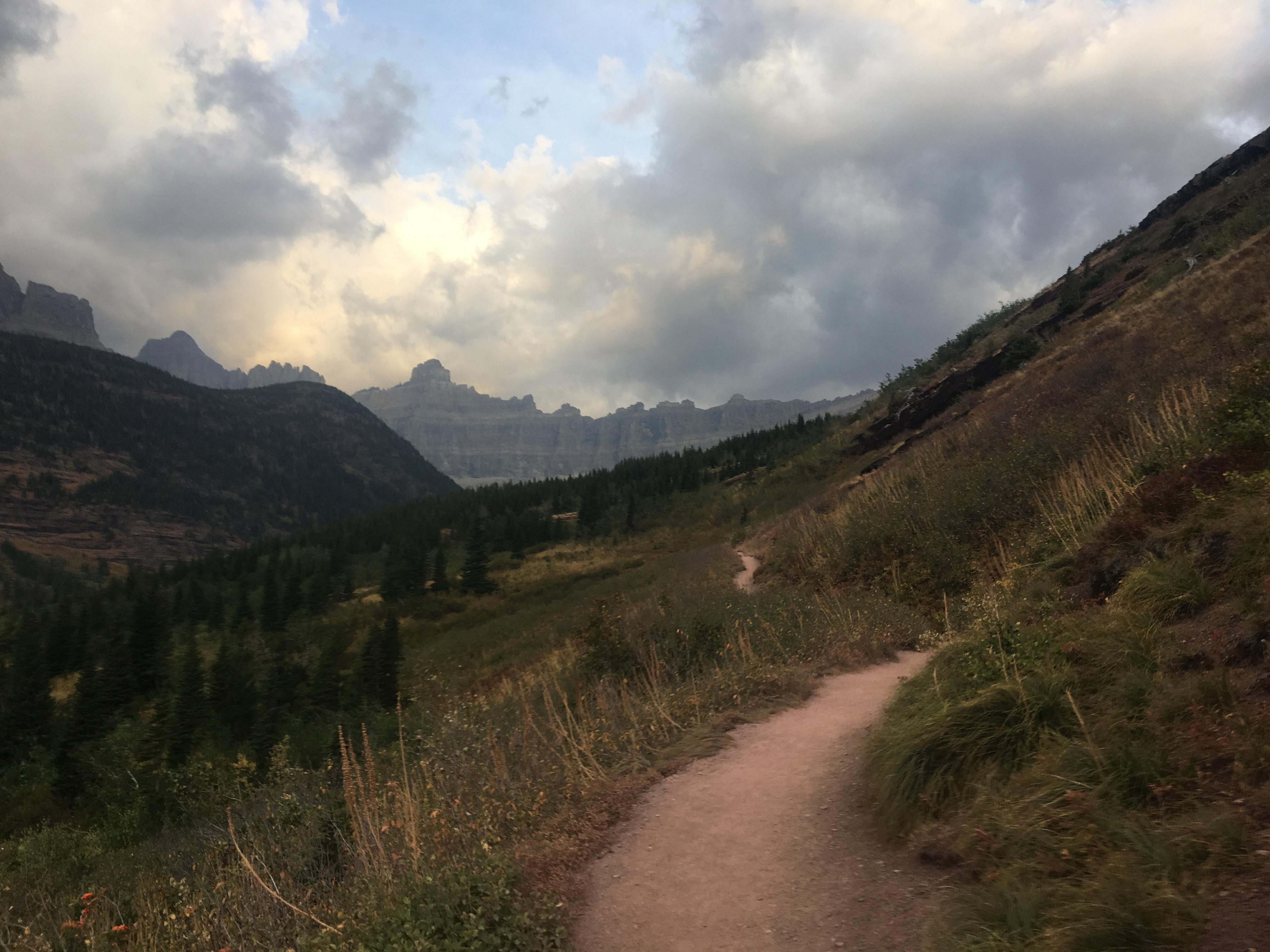


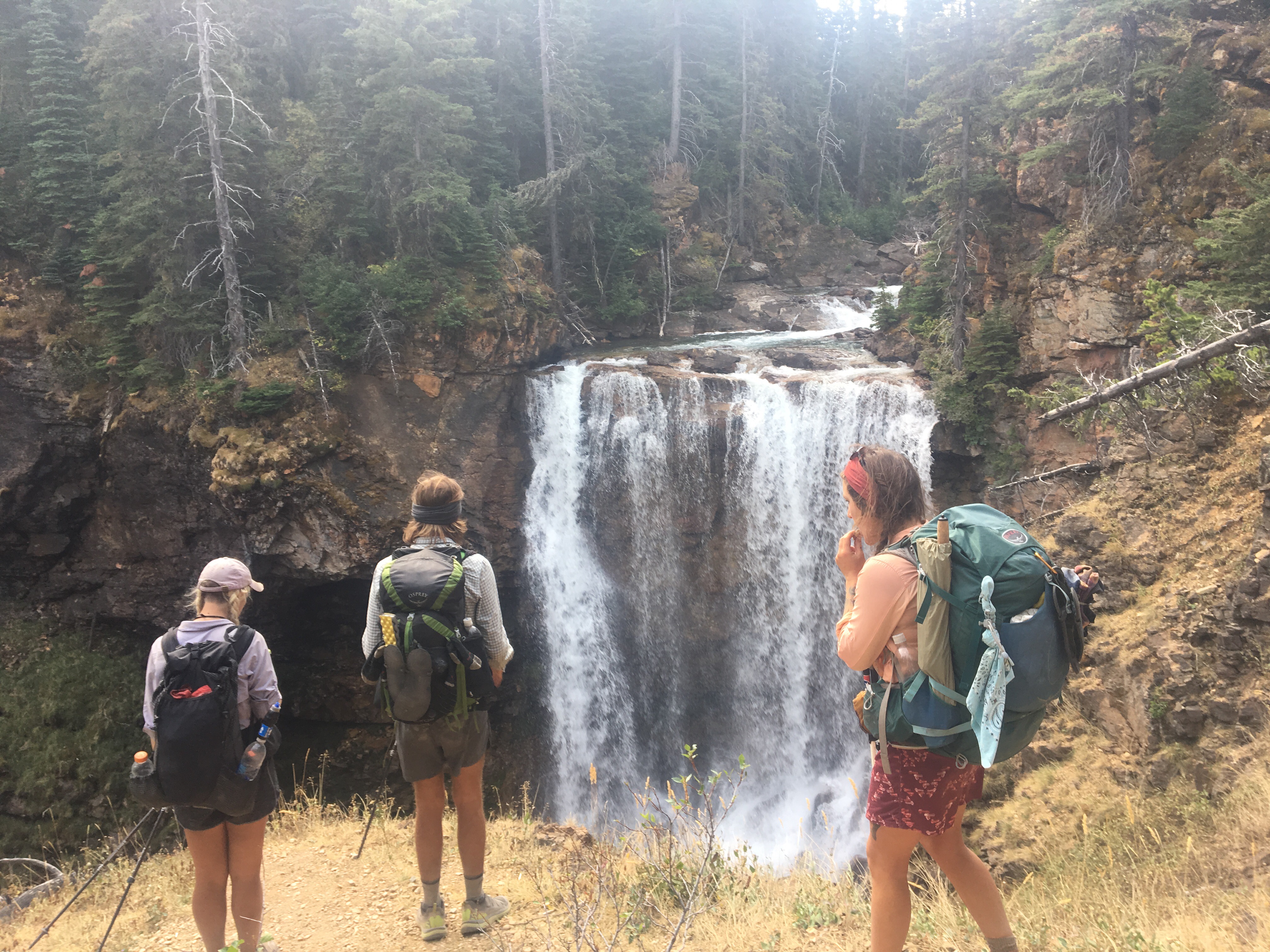
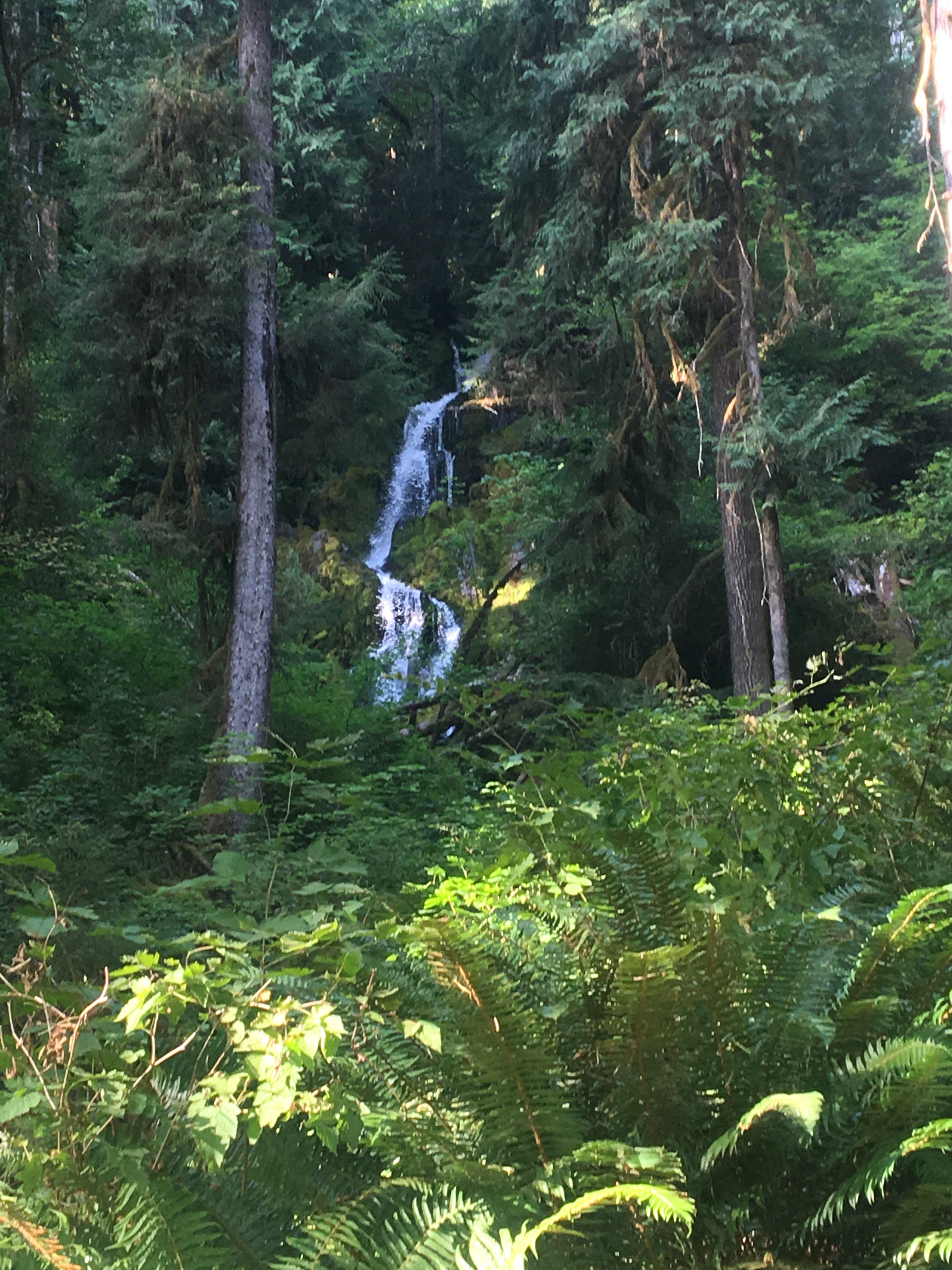
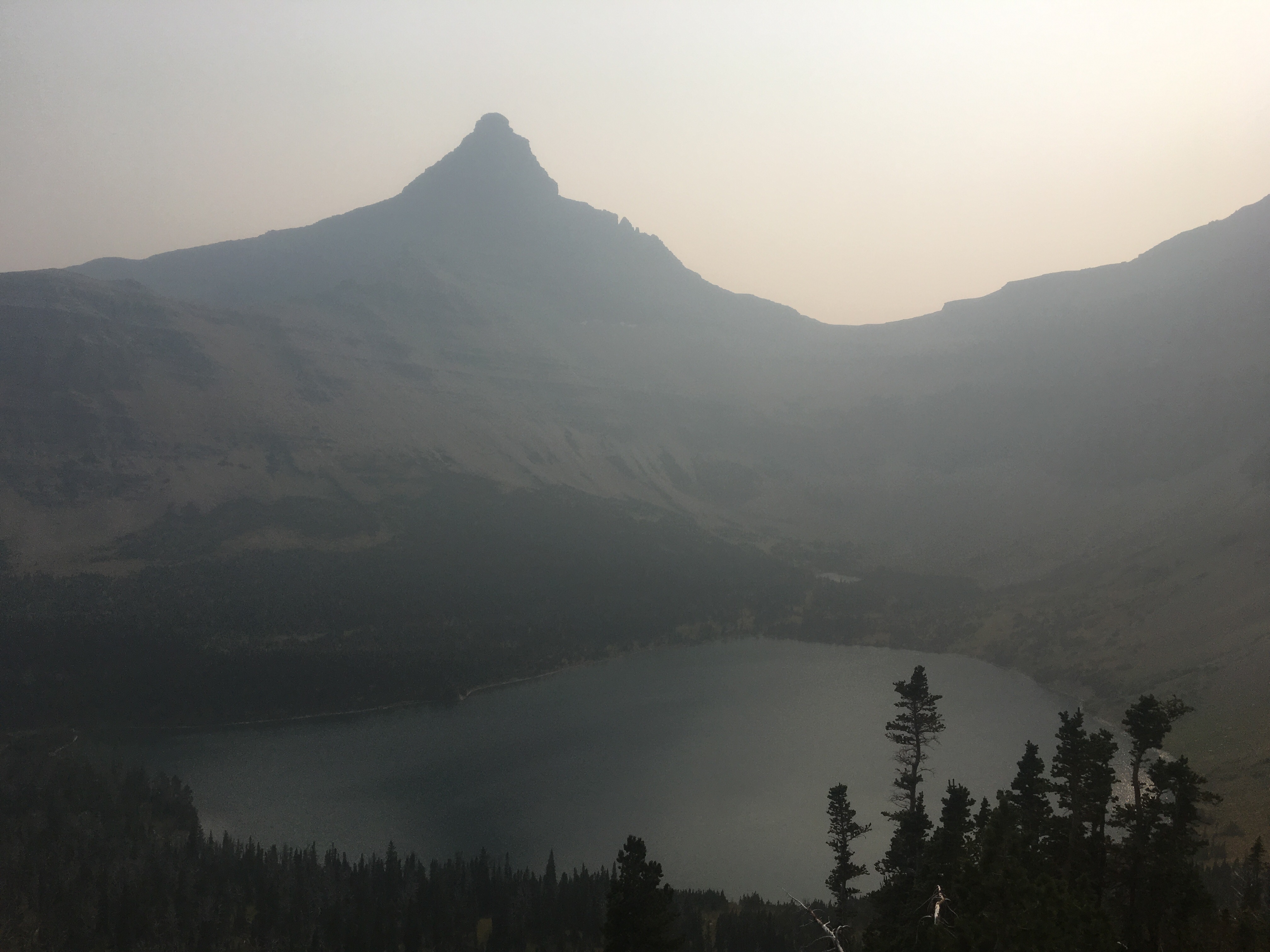
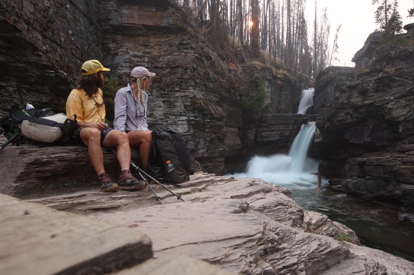
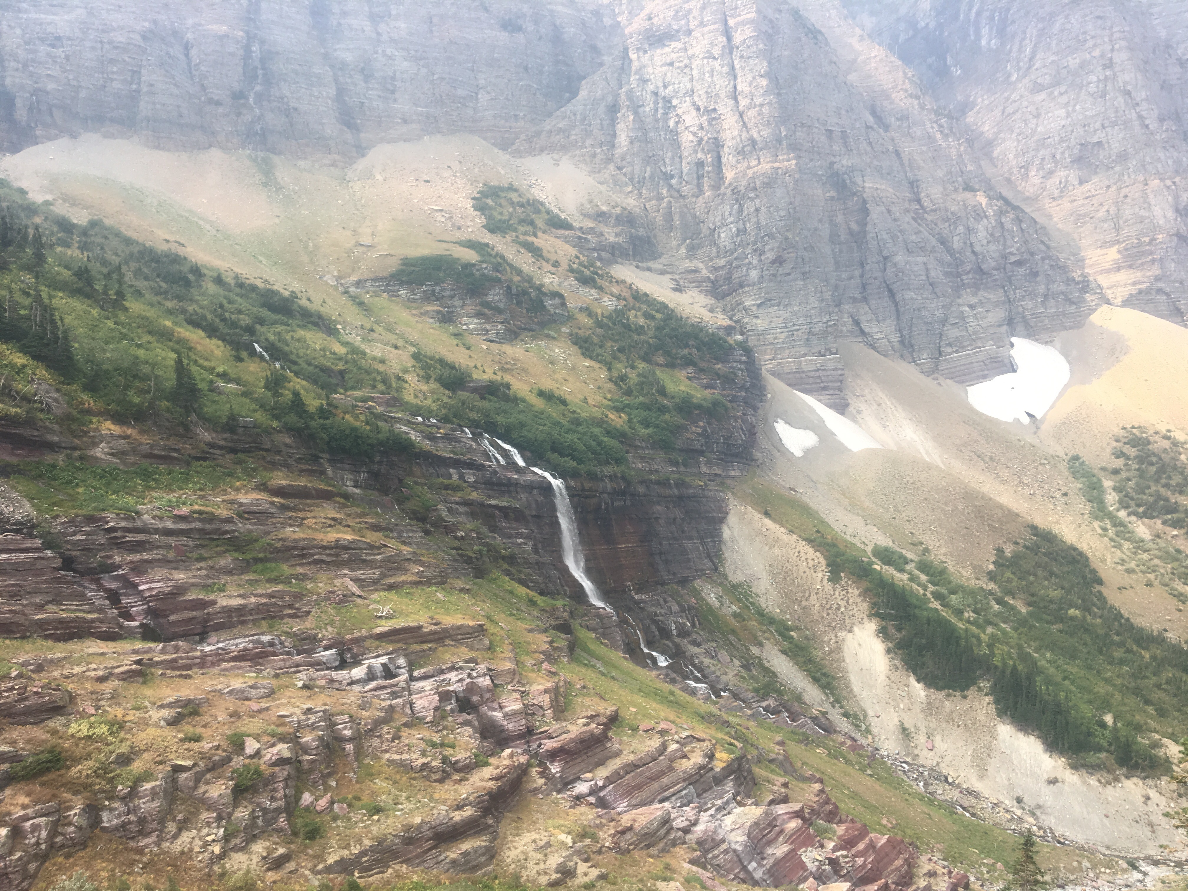
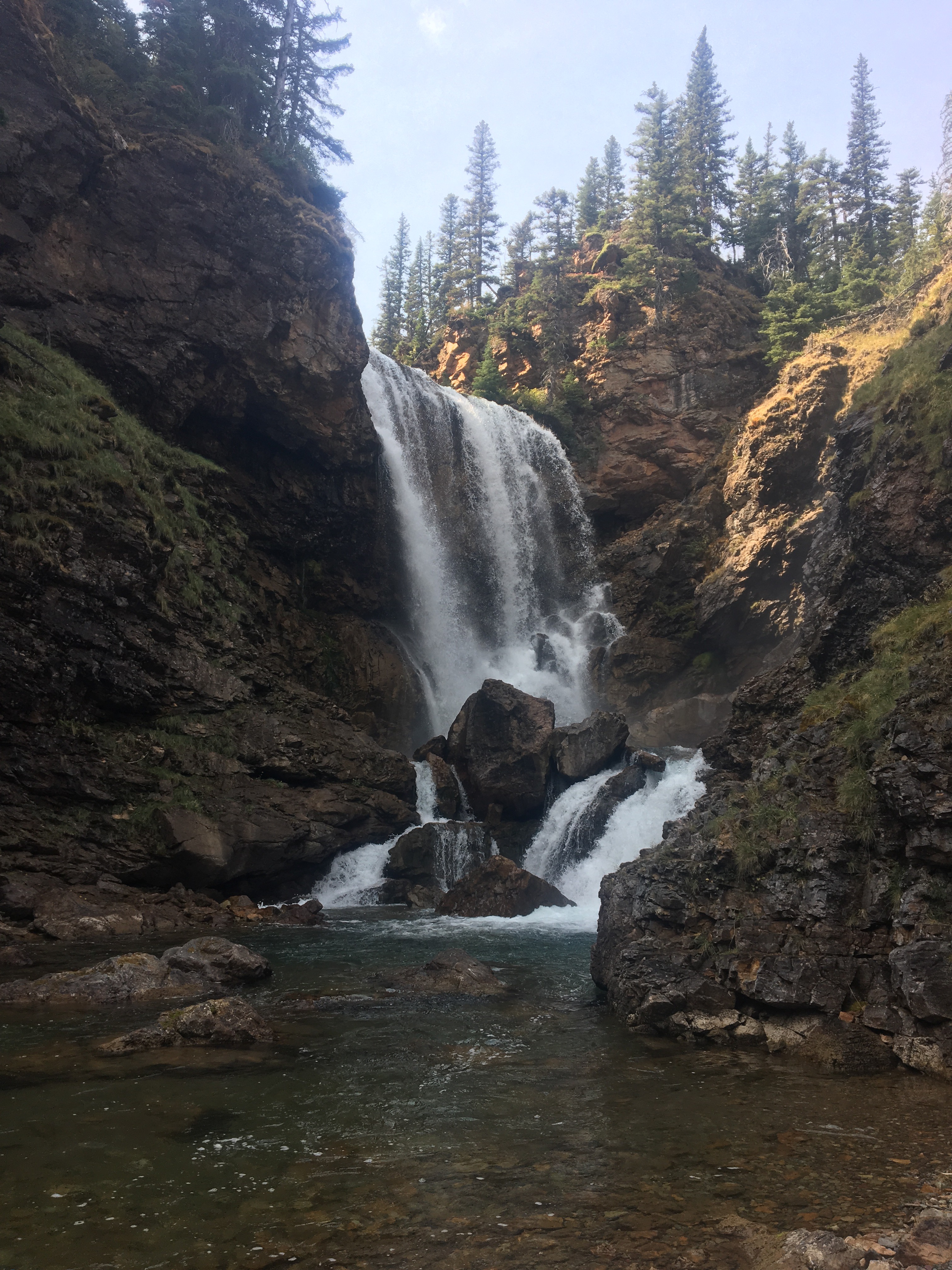 Dawn Mist Falls


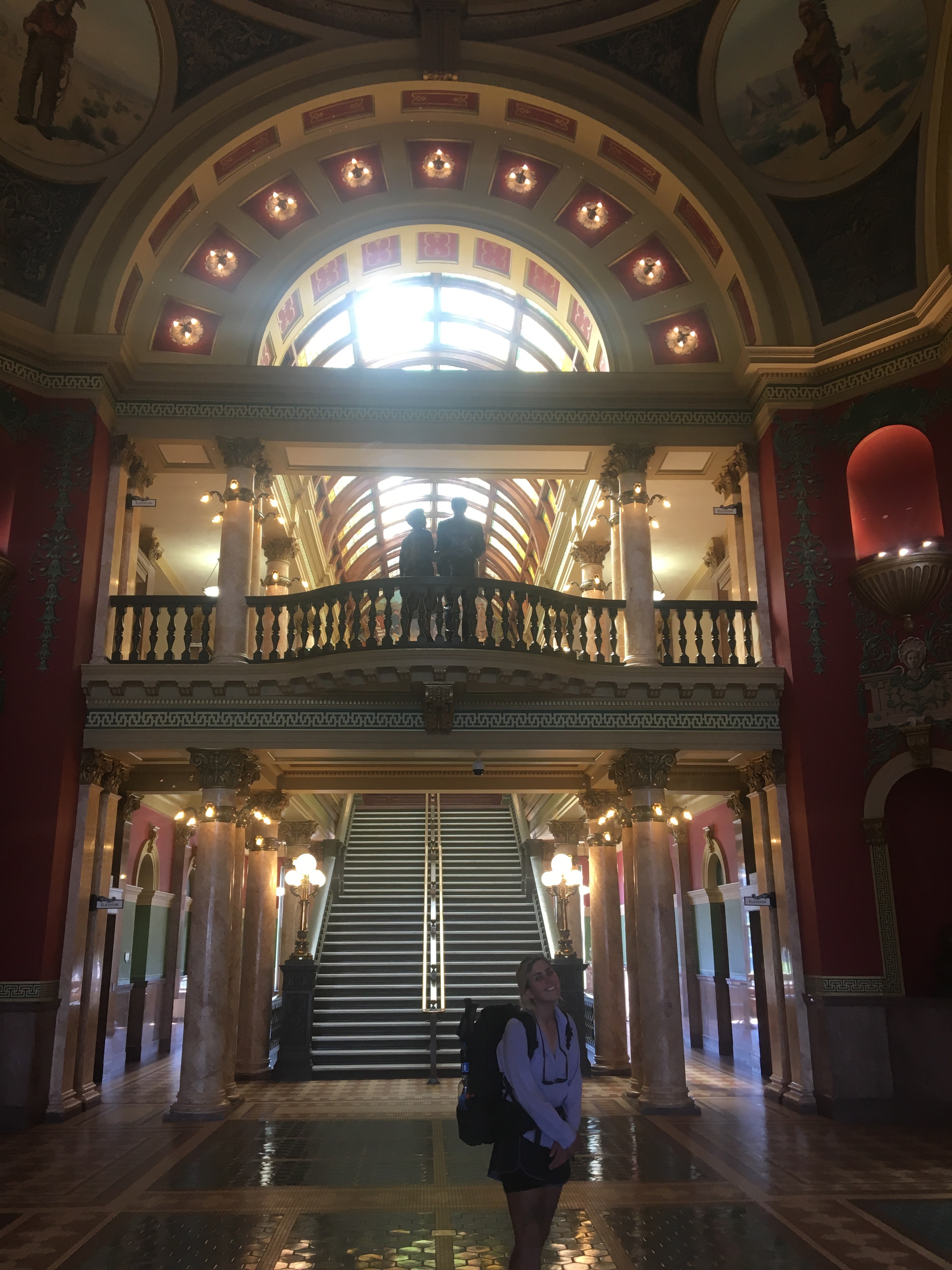
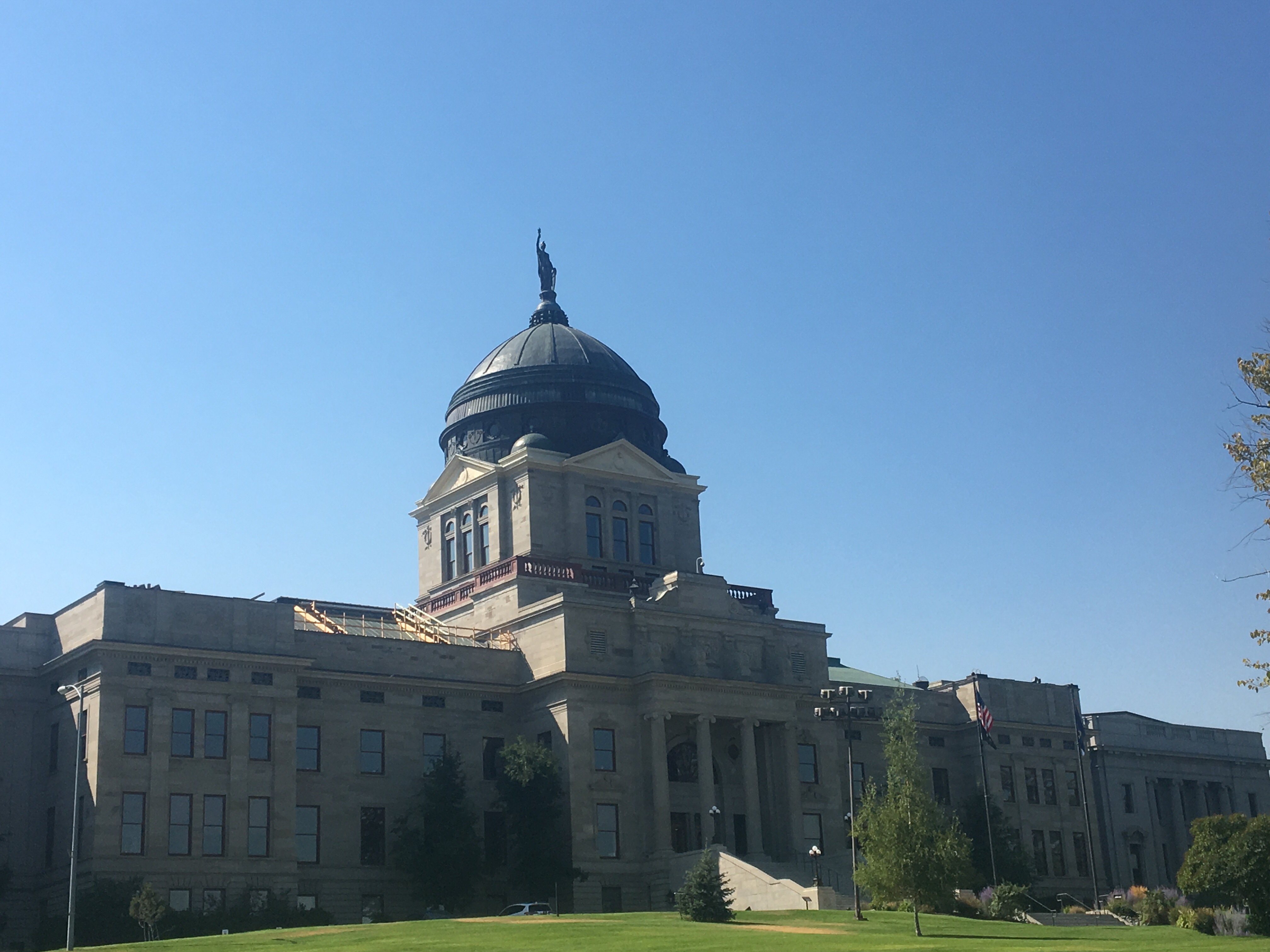 the State House