
Day 14…..26.2 miles…..AZT mile 327.3
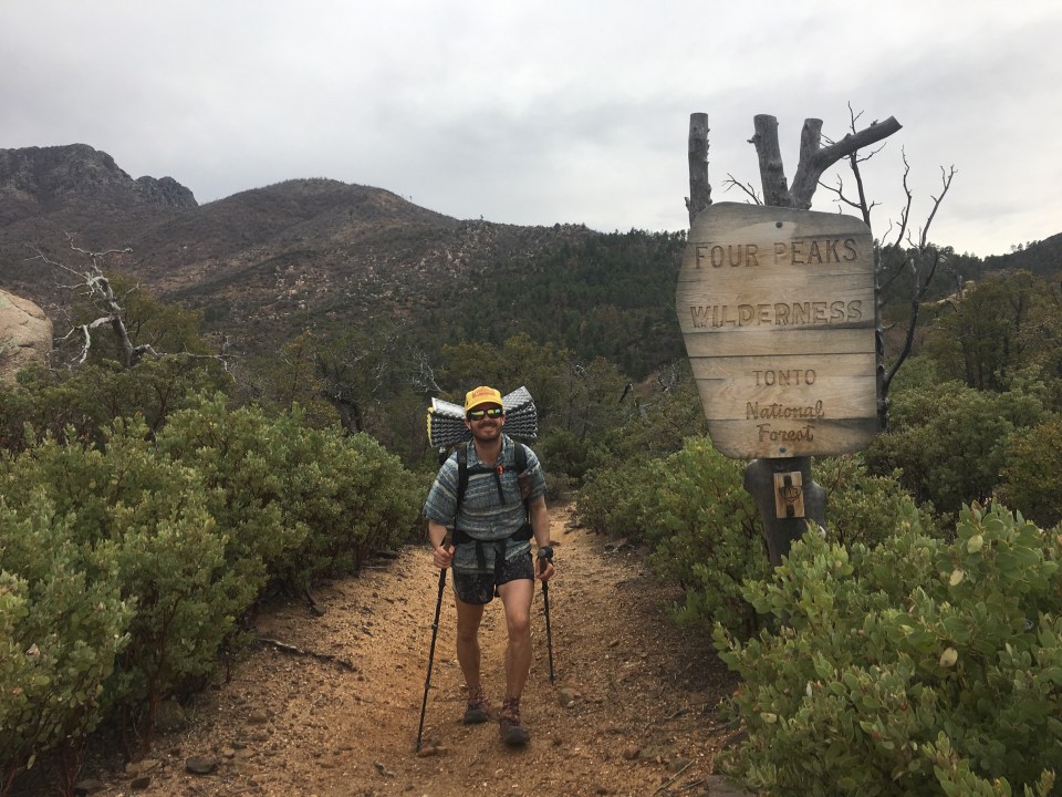
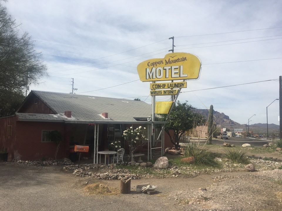
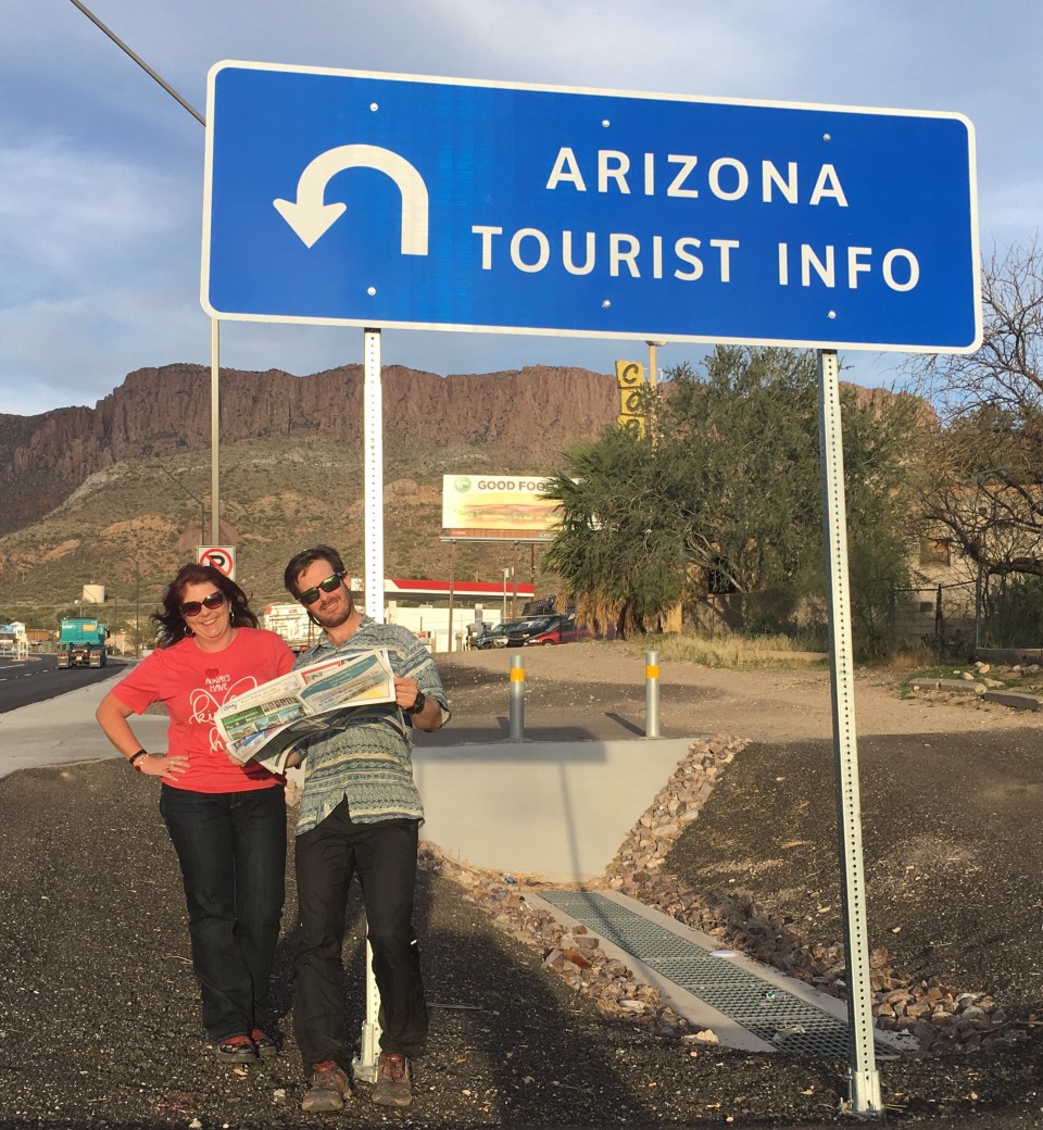
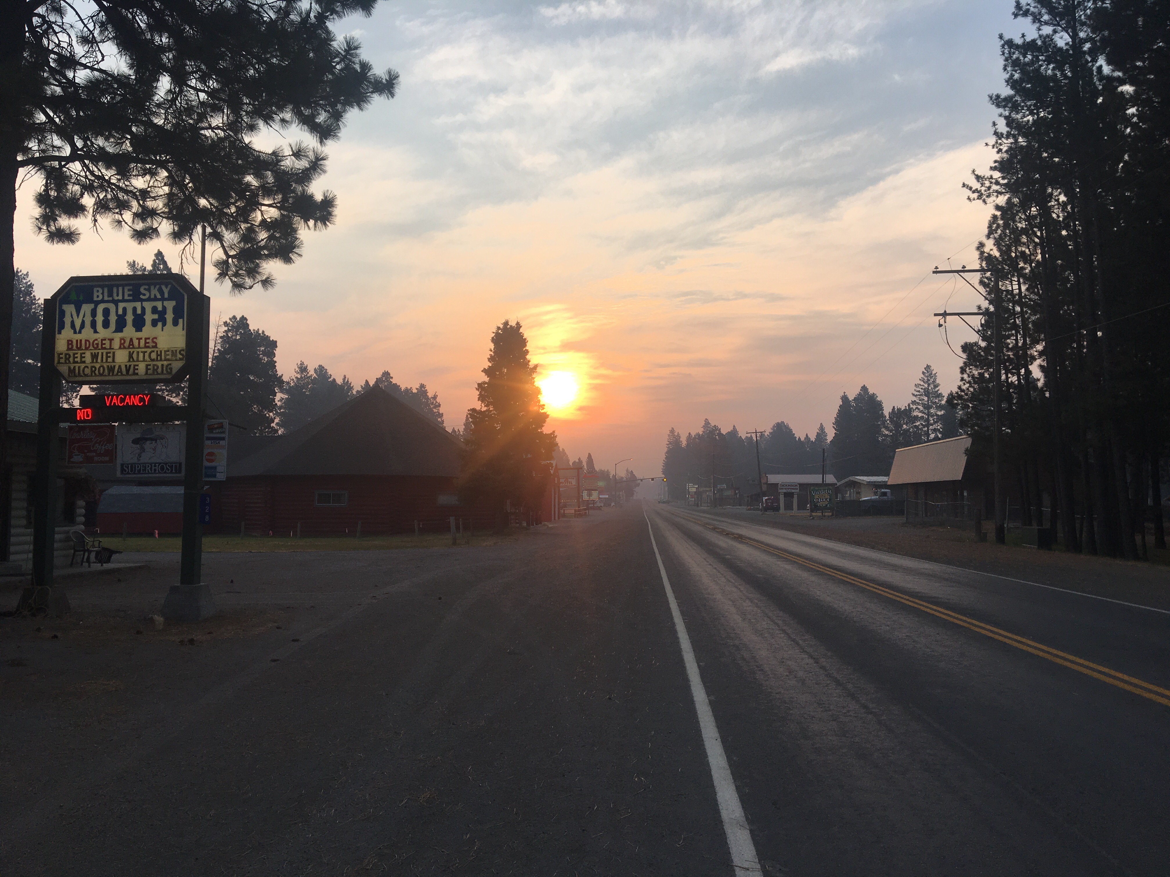
Fueled up with a fresh grapefruit and some jerky that Ron and Diane gave us, QB and I walked about a mile from the motel in Superior to a gas station where I got the rest of my breakfast; a coke and a microwaveable beef and bean burrito. From the gas station we put our thumbs out and got picked up in a couple of minutes by another guy named John in another pickup. John drove us the 5 or 6 miles back to the AZT and said he wrote a novel about the next section of trail called ‘The Search’ by John Henderson(his full name). I’ll look it up and maybe read it, unless it’s a horror story involving hitchhikers.
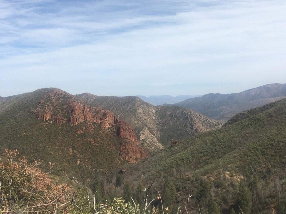
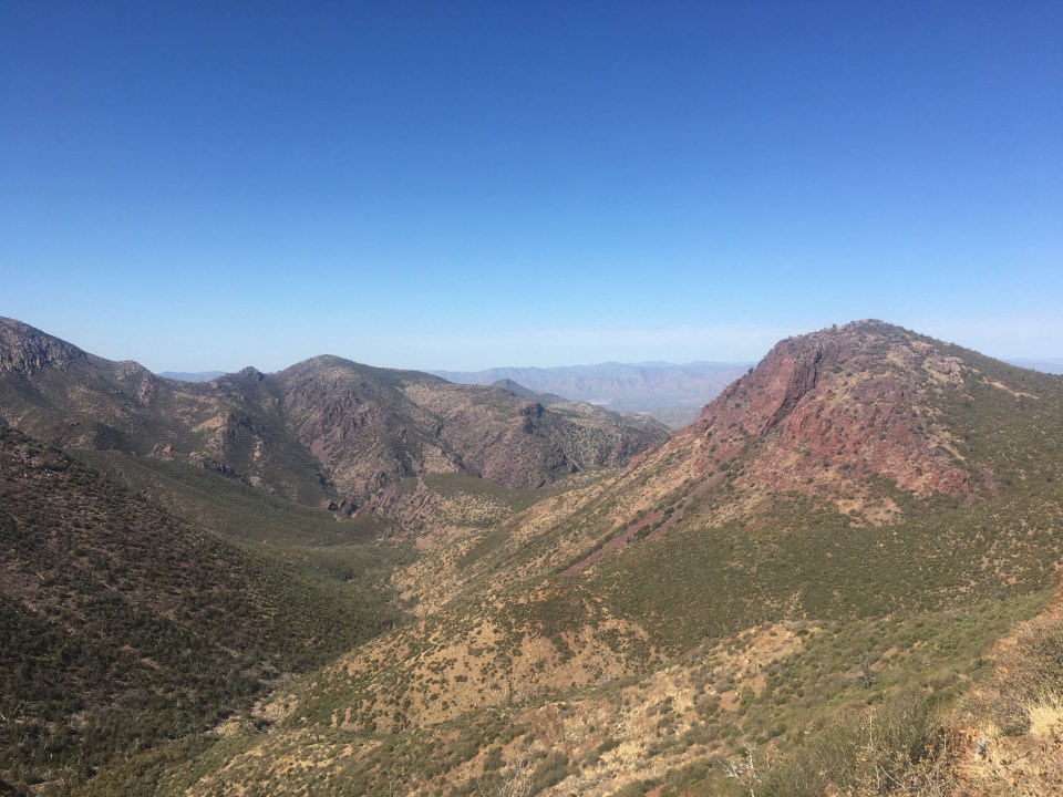
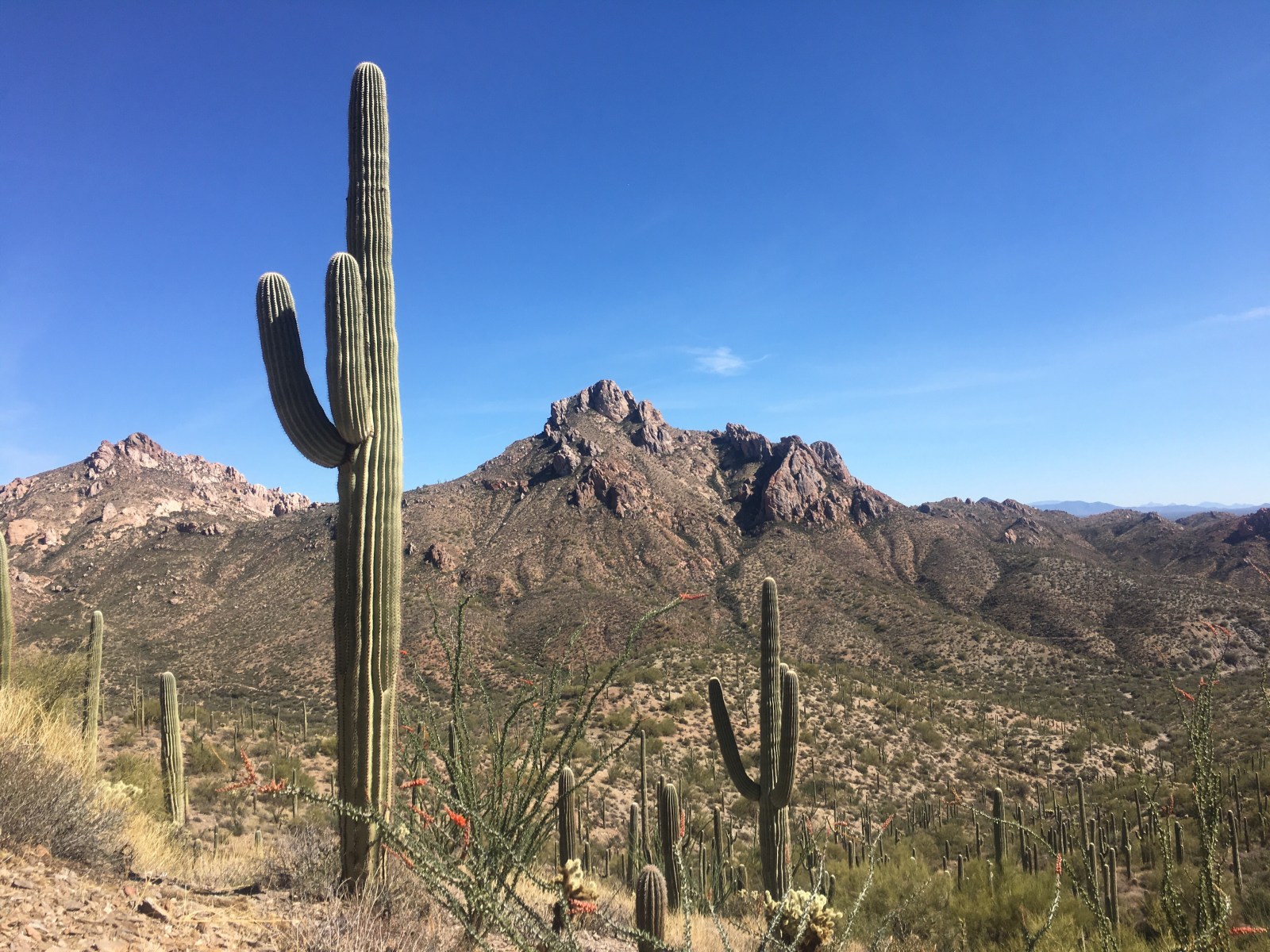
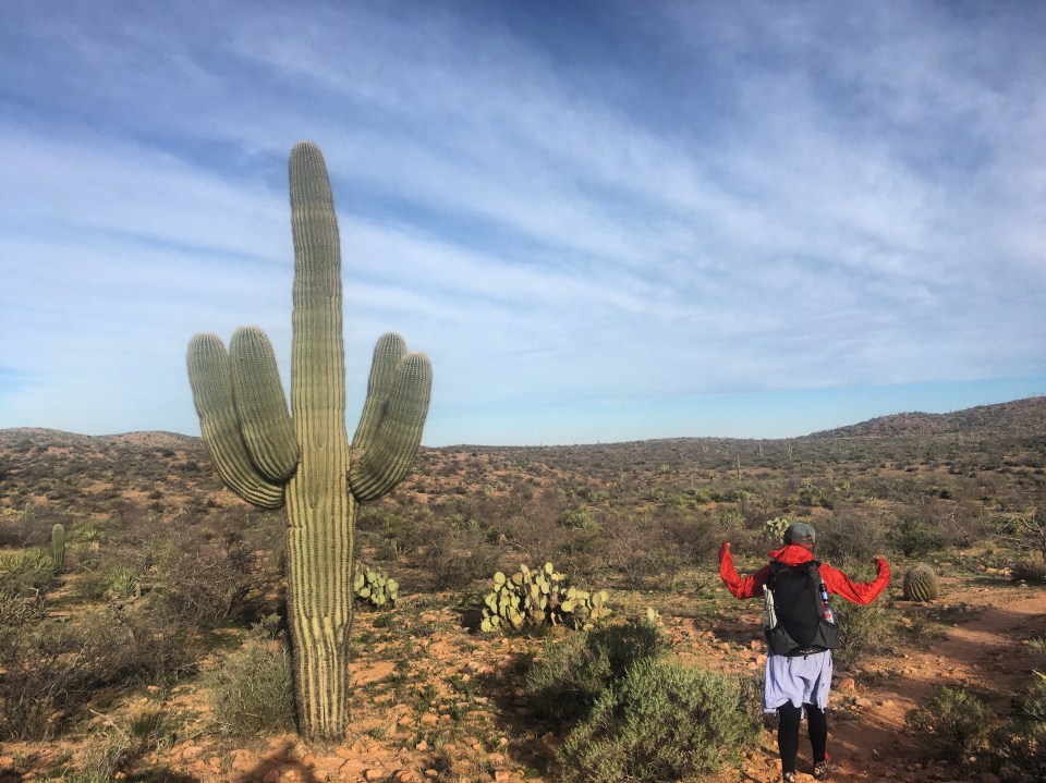
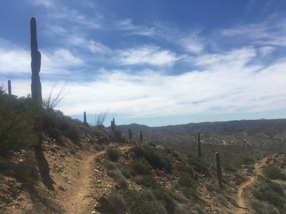
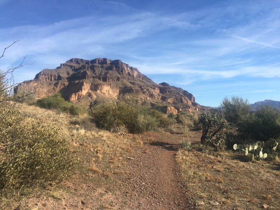
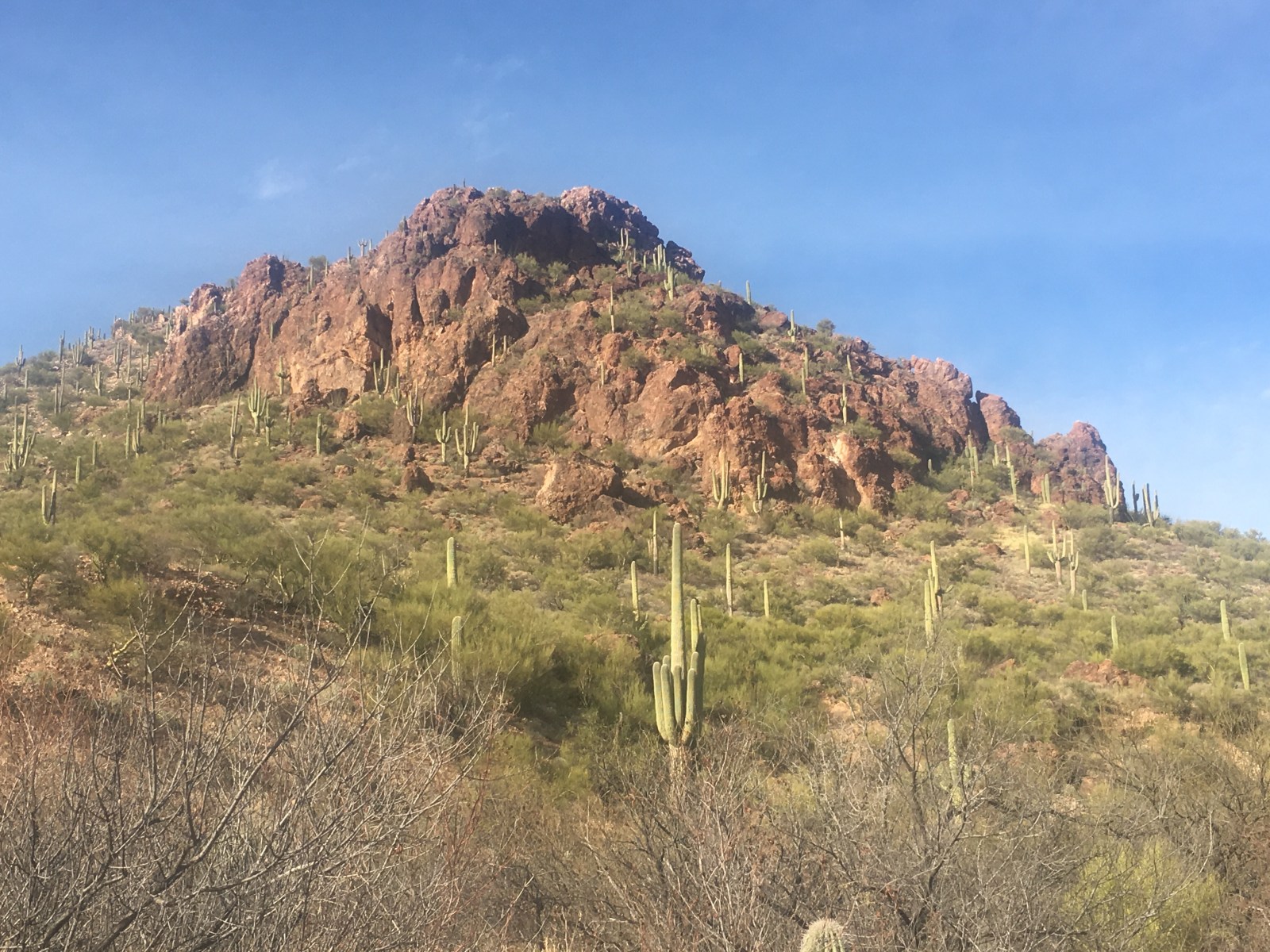
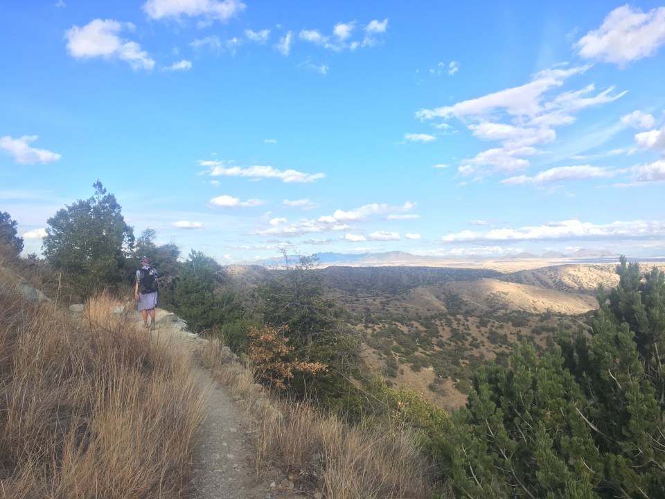
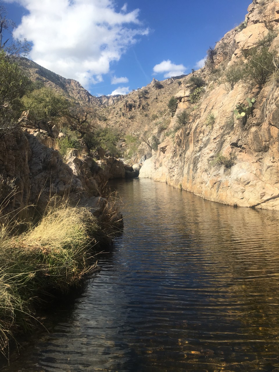
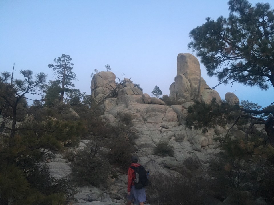
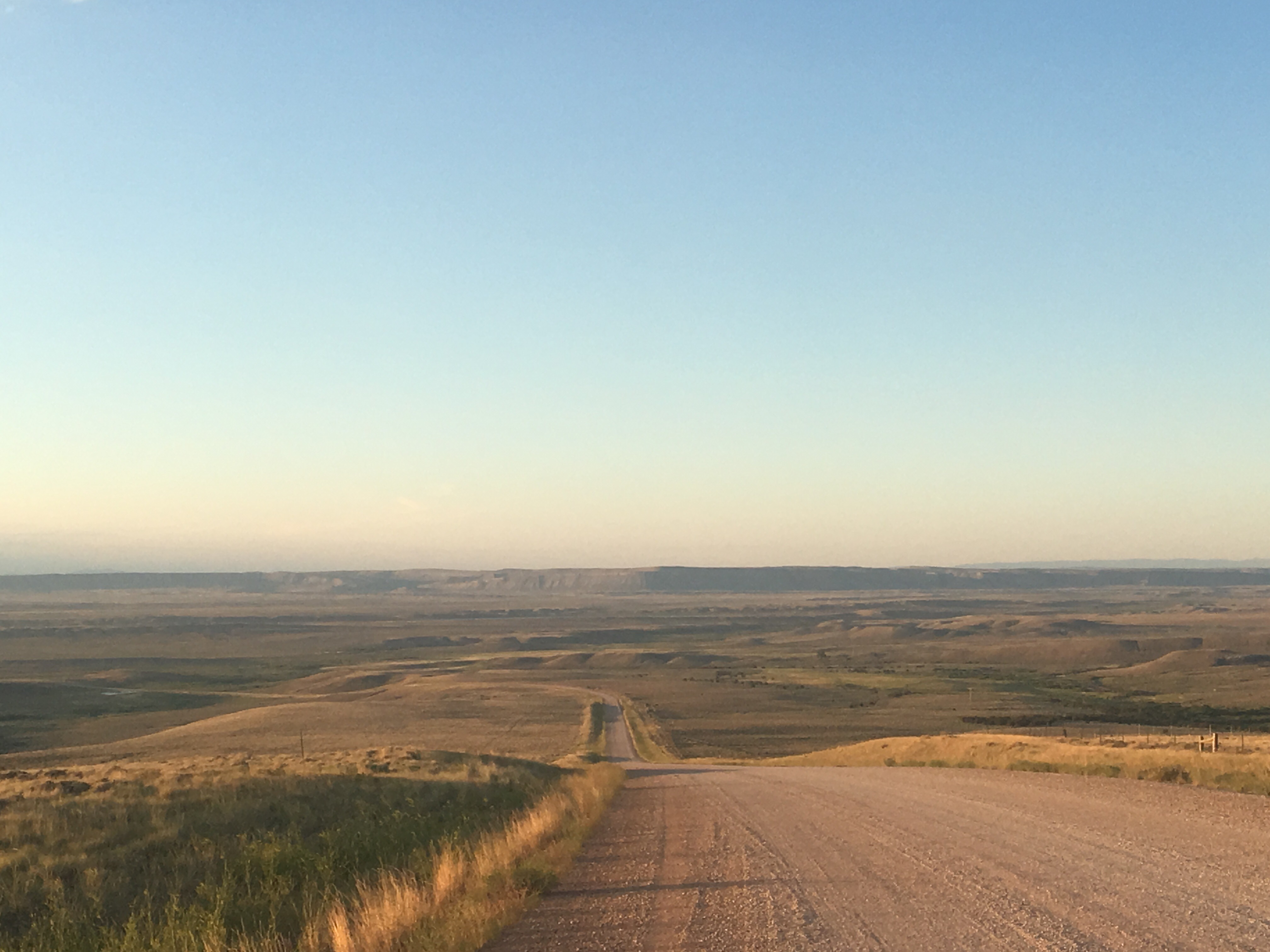
Back on trail we cruised through about 10 miles of open range desert with a lot of cows under a hot sun. We had a beefy climb for a few miles and the clouds came out to block out the sun which was nice. Once we were up a few thousand feet higher we were out of the saguaros and getting ourselves into a pine forest. We crossed into the Superstition Wilderness, had another serious climb, then had some really nice miles through the forest along Reavis Creek. It was an uneventful day but definitely not unenjoyable, the weather was nice and the trail was pleasant.


Day 15…..23.7 miles…..AZT mile 351
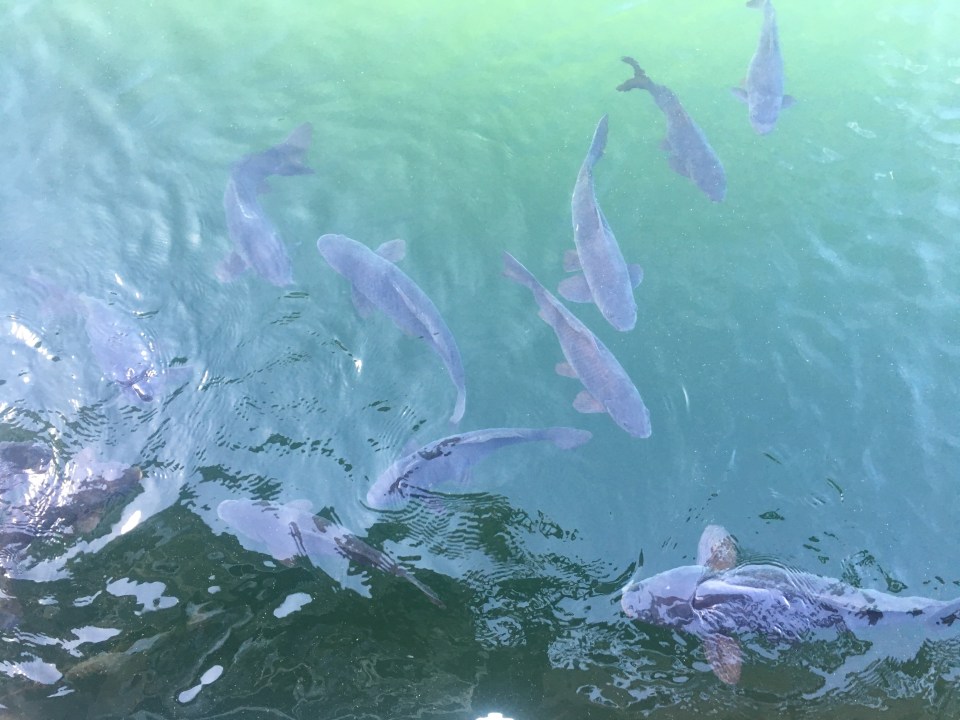
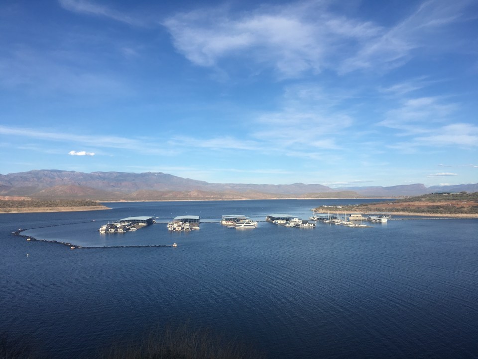
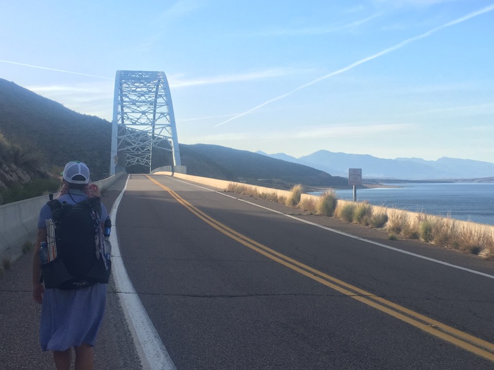
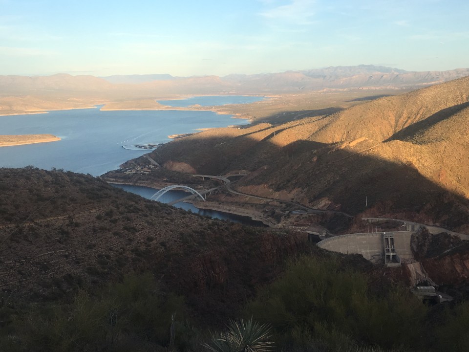
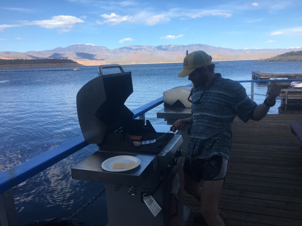
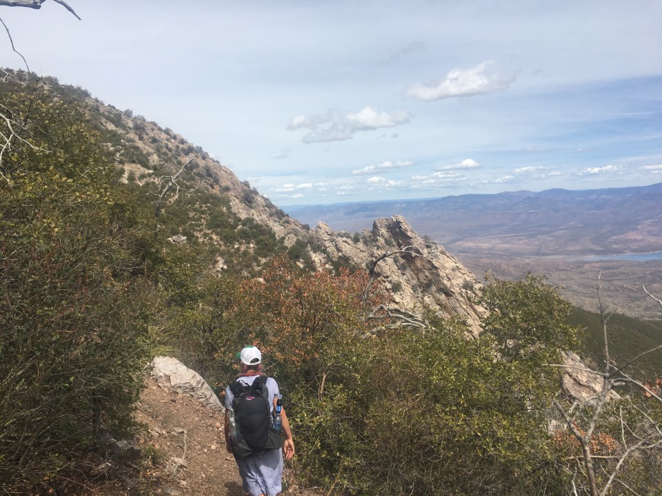
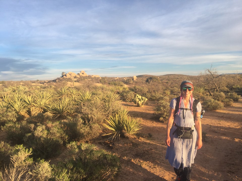
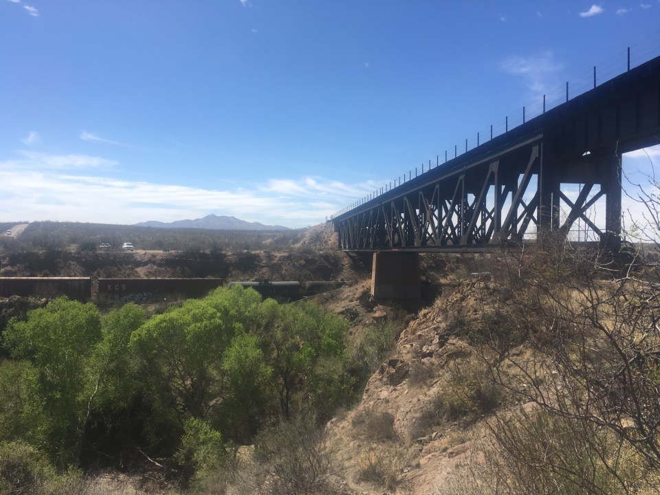
Today was tough. From our campsite the trail descended steeply for awhile and then rose steeply after that. It seemed to do this repeatedly all morning. The trail was narrow, steep, and full of loose rock with cholla, yucca, and prickly pear cactus attacking my legs from both sides. We each took a little spill and I had countless close calls. For the first time of the hike I was thinking that this trail kind of sucks right now. Later on in the day it didn’t get much better, we walked down a steep rocky wash and then descended steep dirt roads full of slippery loose rock. With a slow pace we were making minimal progress but eventually we got to Roosevelt Lake where we had mailed ourselves resupply boxes. We picked up our boxes at the marina and they had a little bar there where we could grill our own burgers so that was nice. While grilling burgers I saw the biggest carp ever looking over the side of the dock(check below for a picture). Leaving the marina we had 4 days of food and as much water as we could carry so our packs were about as heavy as they get. We walked along the road for a little while going over a suspension bridge with a view of the Roosevelt dam before rejoining the trail. The trail rose steeply from the road but the weather was nice and we had incredible views of the lake and enjoyed a nice climb. We met a section hiker, Ross, and walked with him for a couple miles then found a pretty sweet spot to camp for the night. Today was tough, for the most part the trail has been really awesome and I imagine it will be again tomorrow. 

Day 16…..29.5 miles…..AZT mile 380.5
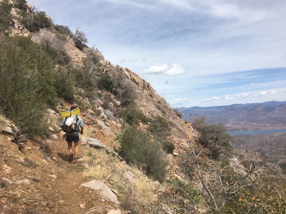
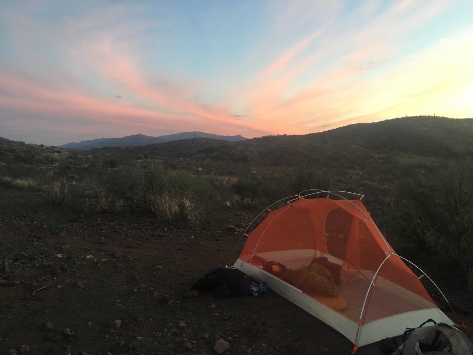
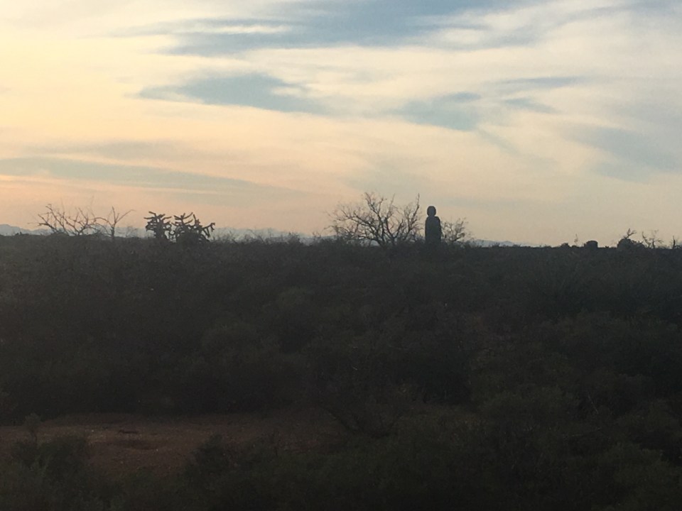
I felt powerful today. We started the day with a series of big climbs into the Four Peaks Wilderness. Once we were up a few thousand feet we contoured around the big beefy Four Peaks while walking into a serious headwind. I saw a few bighorn sheep up in a ravine jumping from rock to rock, it was pretty amazing, they were jumping like 10-15 feet from one rock to another, landing gracefully, changing direction and jumping to another rock. One misstep meant sudden death. There were no missteps(check out the video below). Halfway through our day we got to a little spring and realized we had about 15 miles to our next water source and 5 hours until the sun goes down. It’s not that I can’t walk in the dark, I just like to end my day at sunset. The trail turned into a dirt forest road up on a ridge for awhile so the miles were easy but every so often some four wheeling enthusiast in a Jeep or a side by side would come bombing by. At a crisp 3 miles per hour all afternoon and evening we got to this little spring right at sunset and set up for the night. 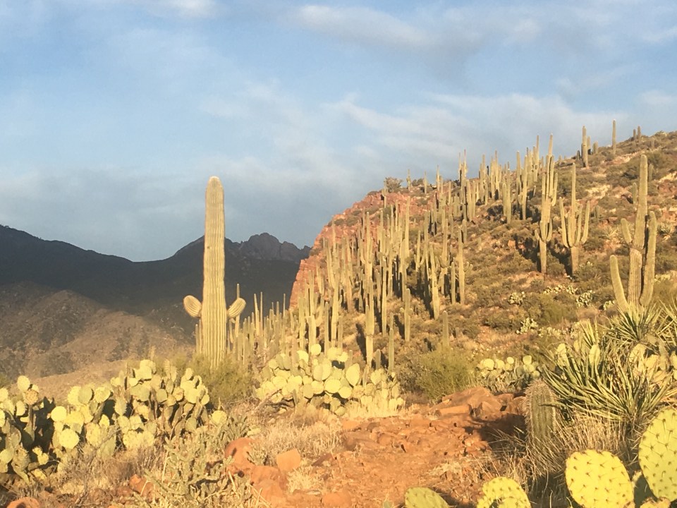

Day 17…..26.8 miles…..AZT mile 407.3
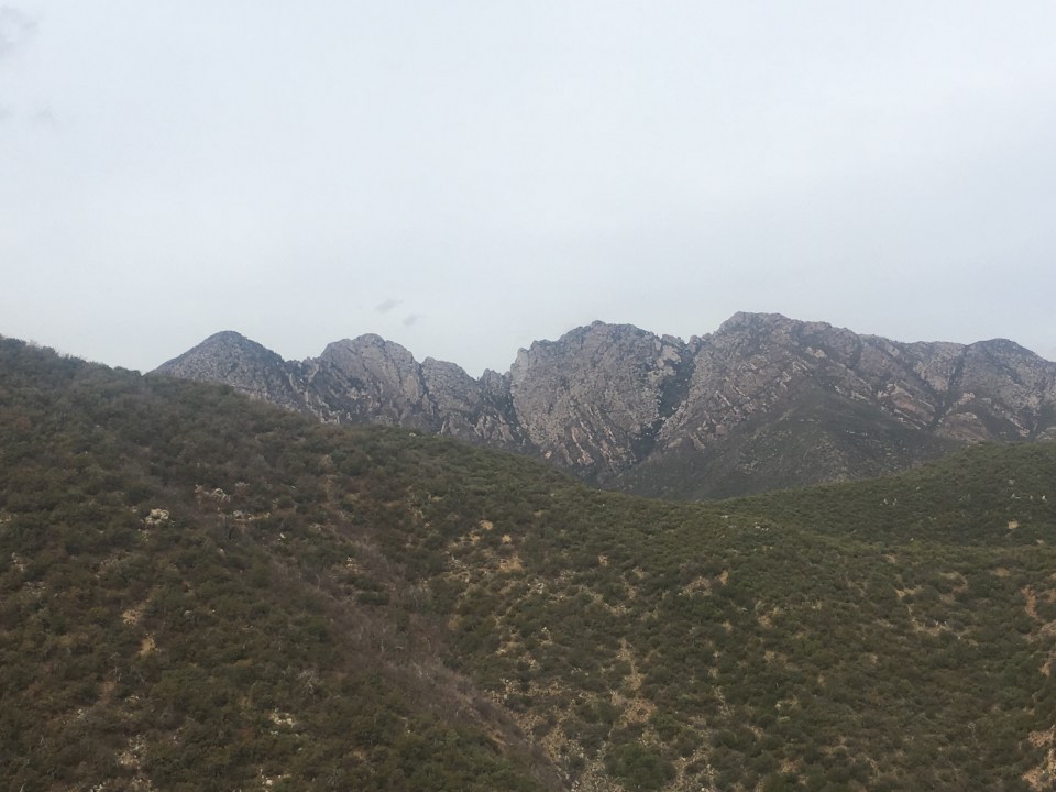
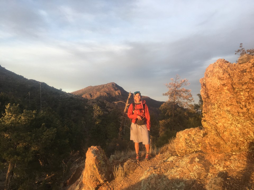
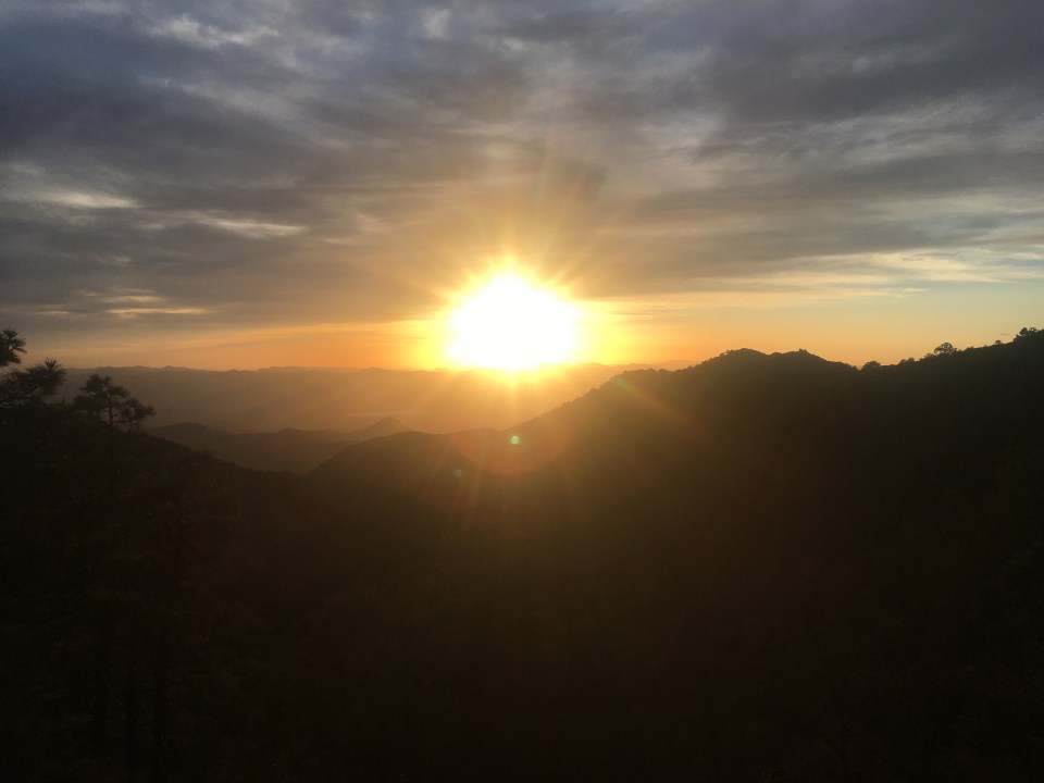
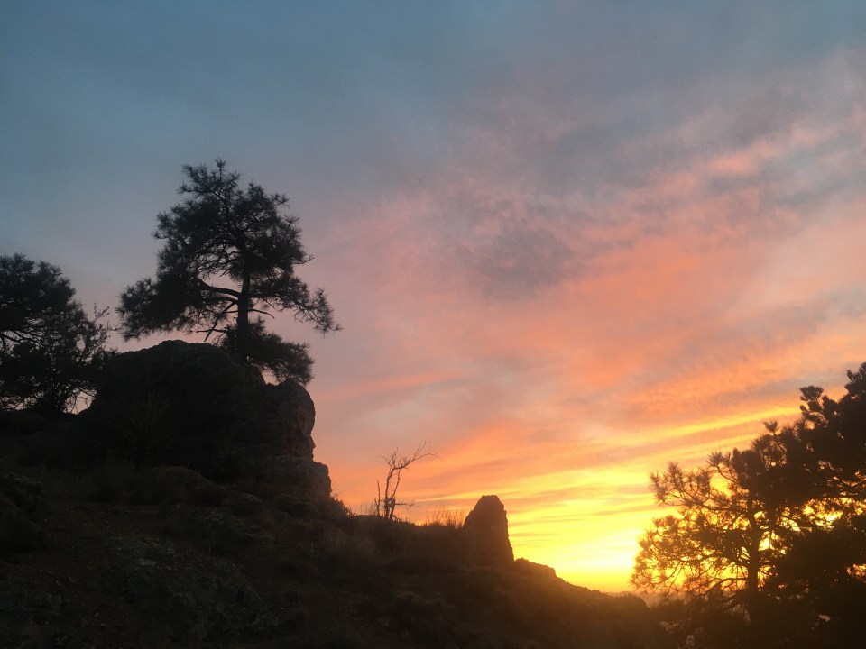
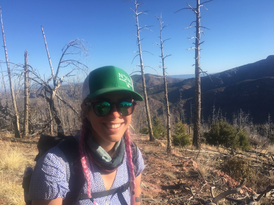
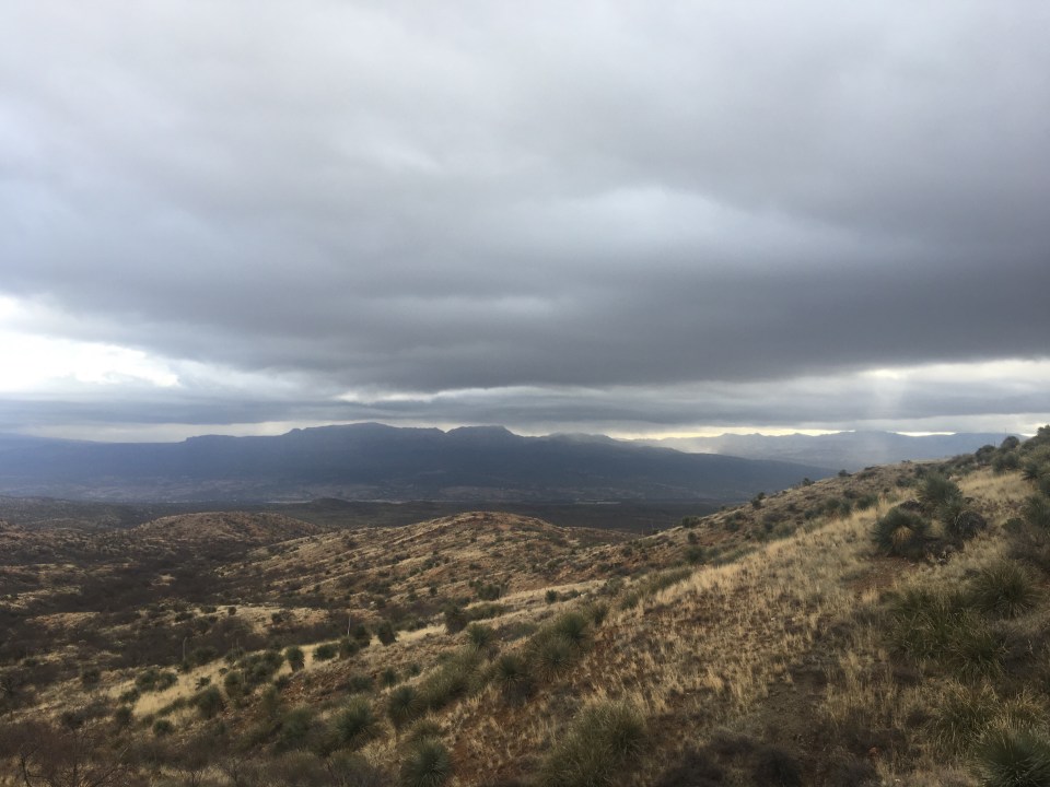
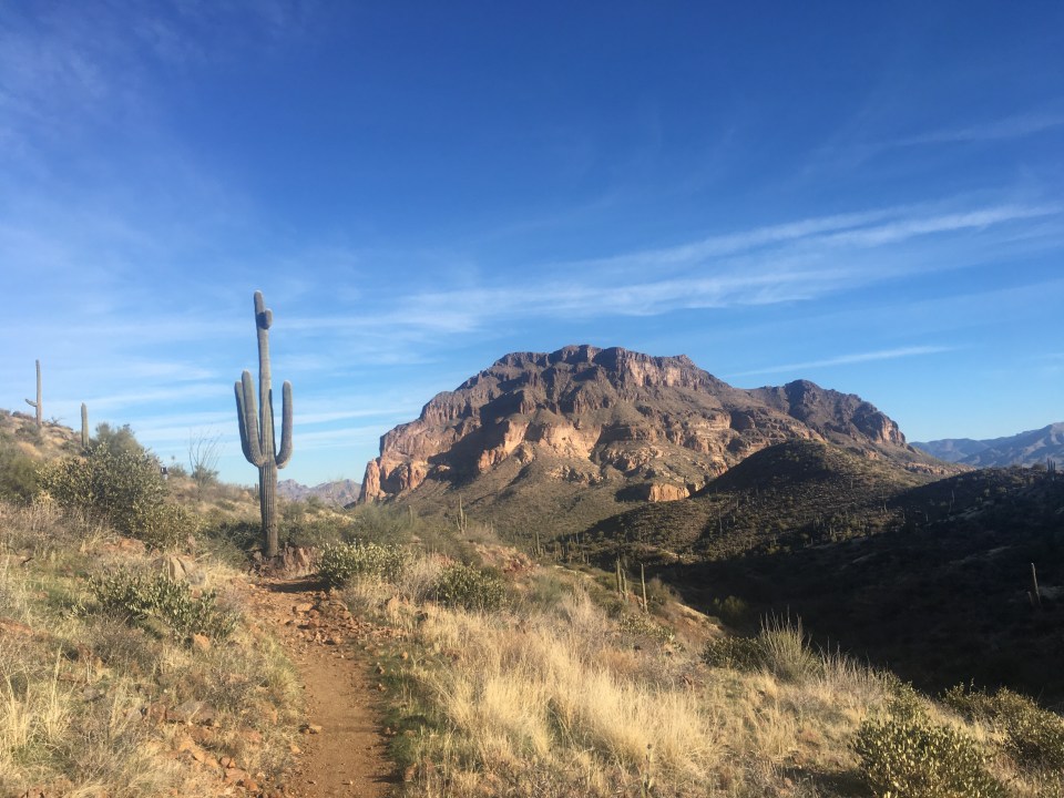
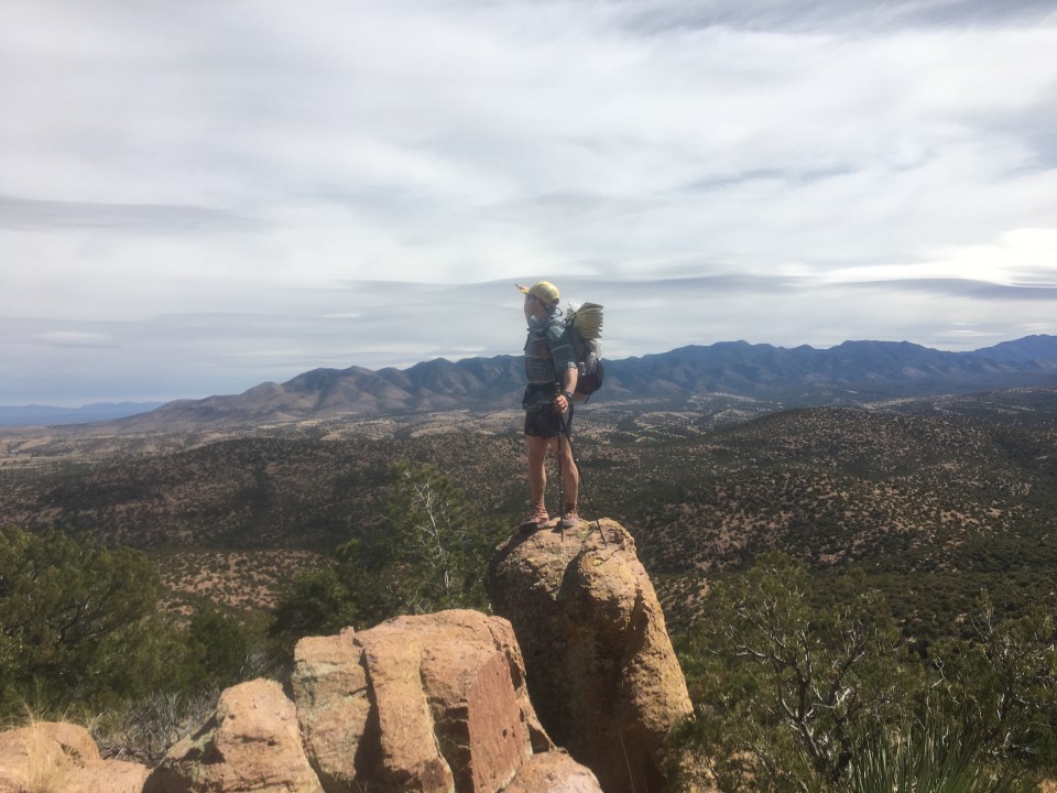
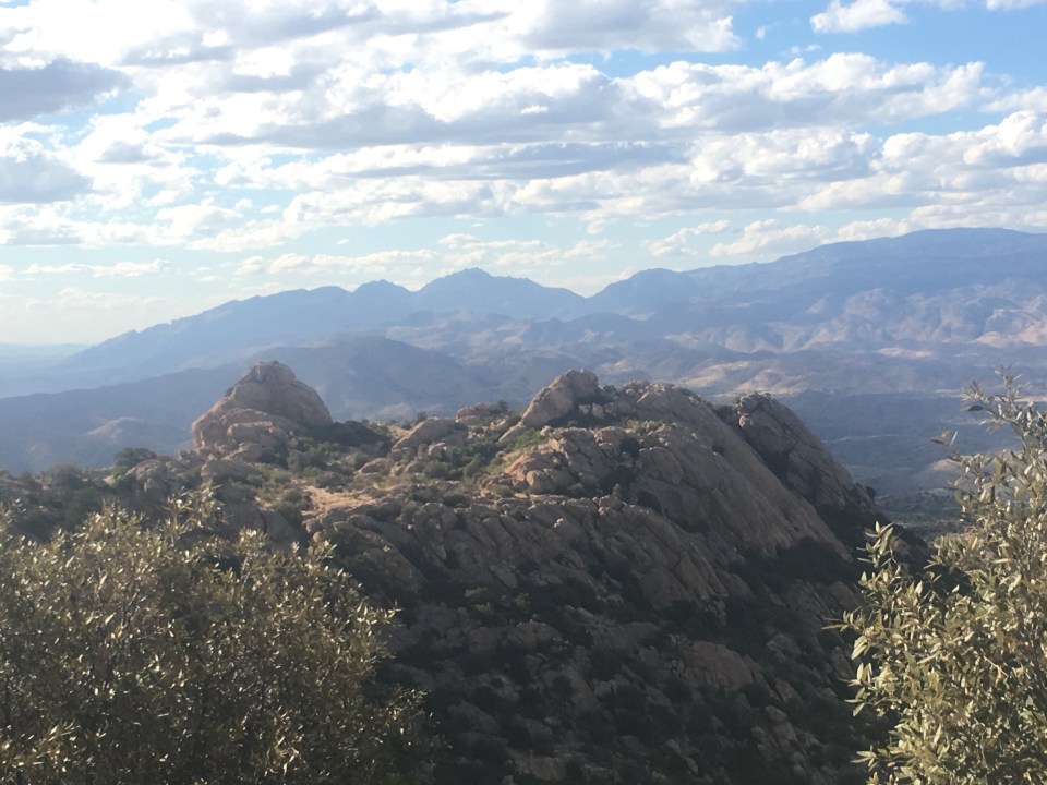
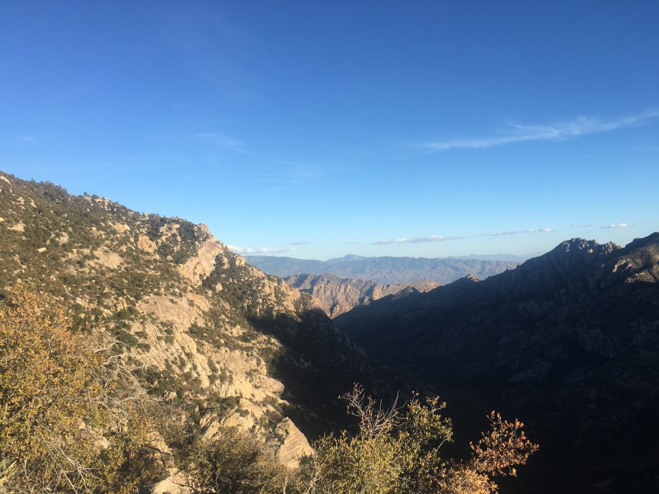
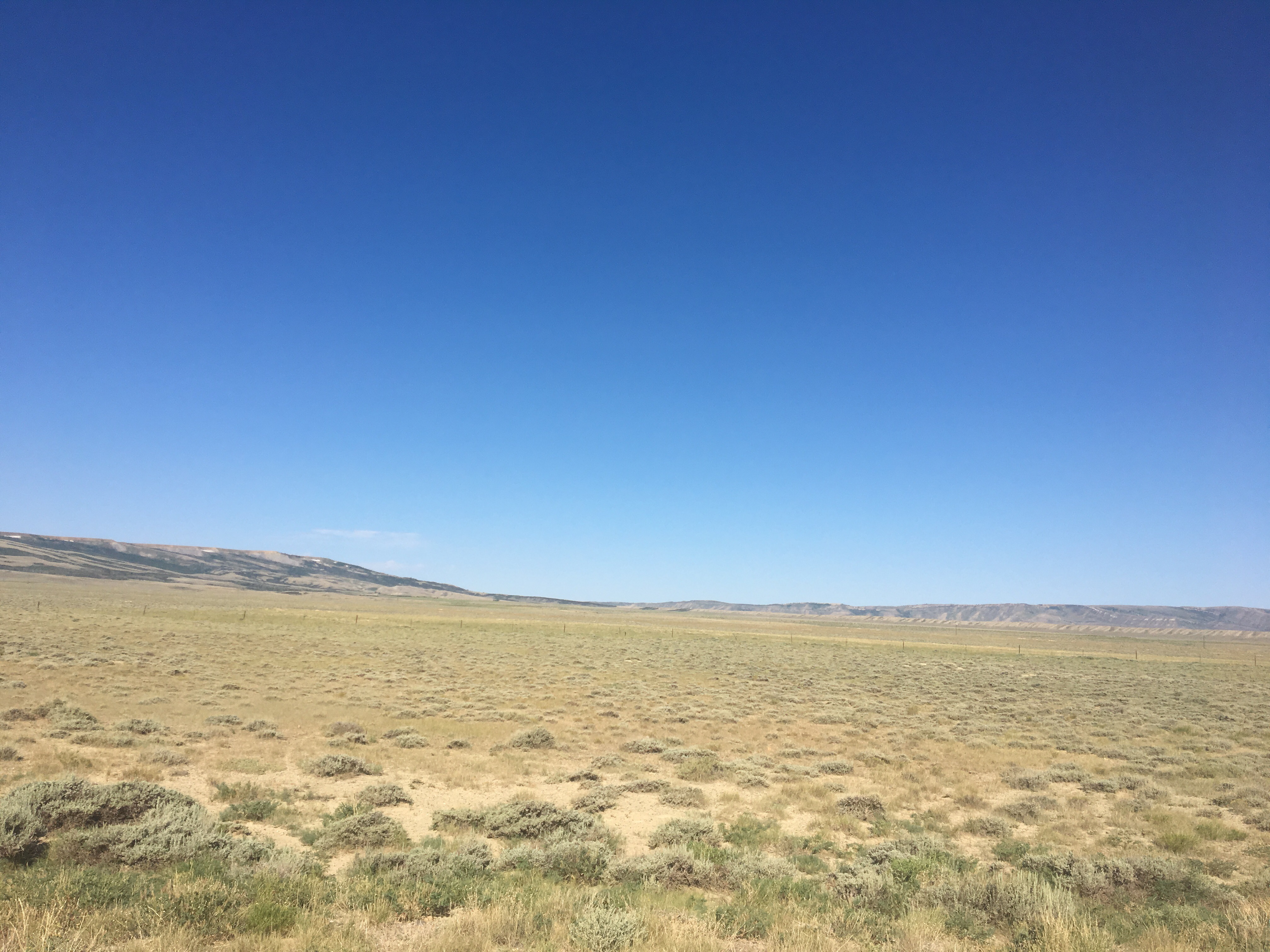
An owl hooting woke me up this morning, I didn’t see that loudmouth anywhere but I know he was close by. About twelve minutes later I was packed up and walking down the trail. The first dozen or so miles were up and down over rolling hills through open range desert(when I say ‘open range’ I usually mean just a big wide open area with cows around). We then passed under a highway, rt 287 I think, and a few miles later walked through a big canyon where I saw two ring tailed cats chasing each other. I would describe a ring tailed cat as a cross between a raccoon and a squirrel and it happens to be the official state mammal of Arizona. The trail climbed for much of the second half of the day and eventually we were back up high contouring along the mountains. This evening we crossed into Mazatzal Wilderness. If you’re reading this at home all these different Wilderness names must get confusing. It’s confusing for me too, I usually don’t know where I am until I see a sign but other people always seem to know the names of these different Wilderness areas. People will say things to us like, “are you excited about the Mazatzals?” or “the Catalinas sure are nice this time of year” or “when do you think you’ll be in the Superstitions?” Since I never really know what they’re talking about I usually just say something like, “Oh yeah that will be cool!” or “yeah I’m really looking forward to getting up there.” The truth is I didn’t do too much research on this trail and neither did Queen B. Finding ourselves in all these different mountains and wilderness areas has been a mostly unexpected treat. I know that up ahead is Flagstaff, The Grand Canyon, and Utah and that’s pretty much all I knew going into this trail. That being said ‘the Mazatzals’ are awesome. We climbed up onto Mazatzal Ridge and found an excellent little tent site tucked into some pines with an incredible vantage point to watch the sunset. If you ever hike the AZT, try to camp at mile 407.3 and watch the sunset. Oh yeah we passed the halfway point today so that was cool. 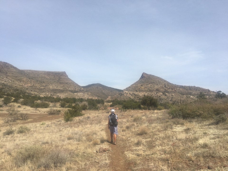


Day 18…..27.2 miles…..AZT mile 434.5
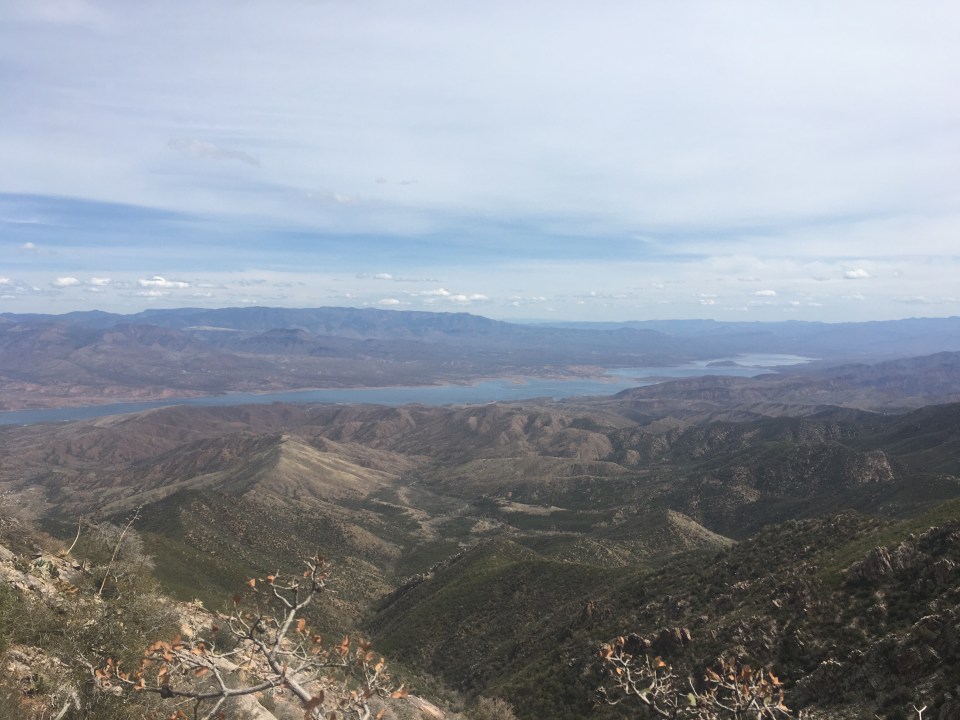
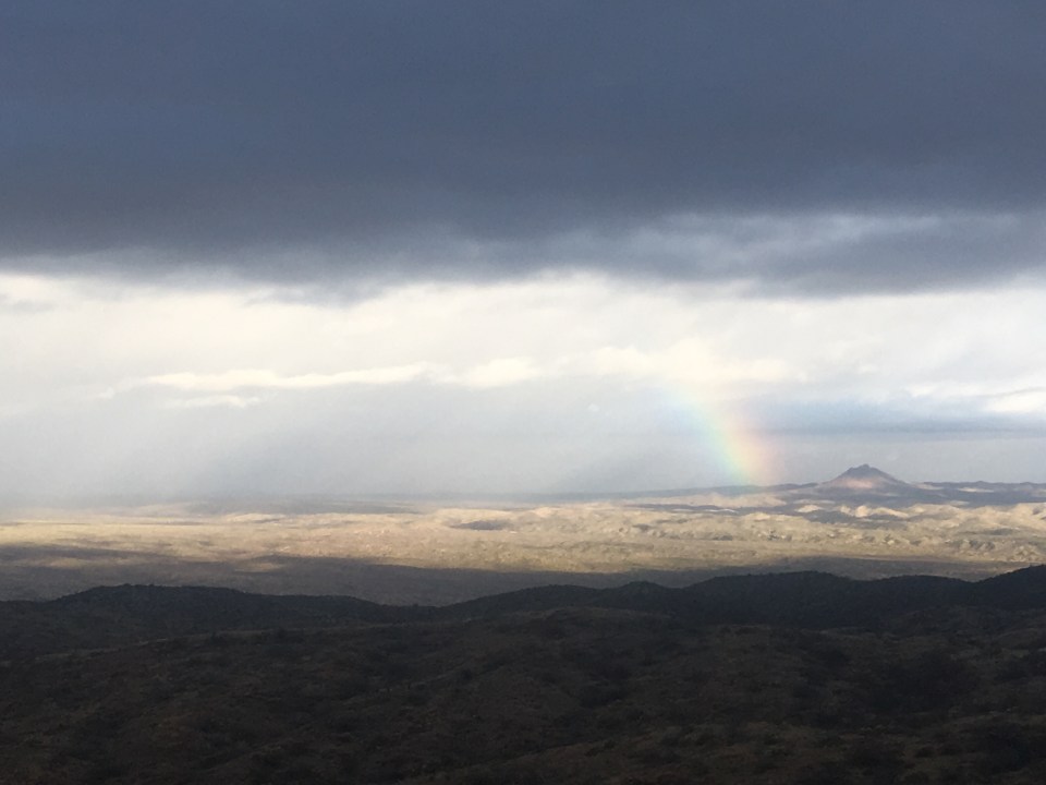
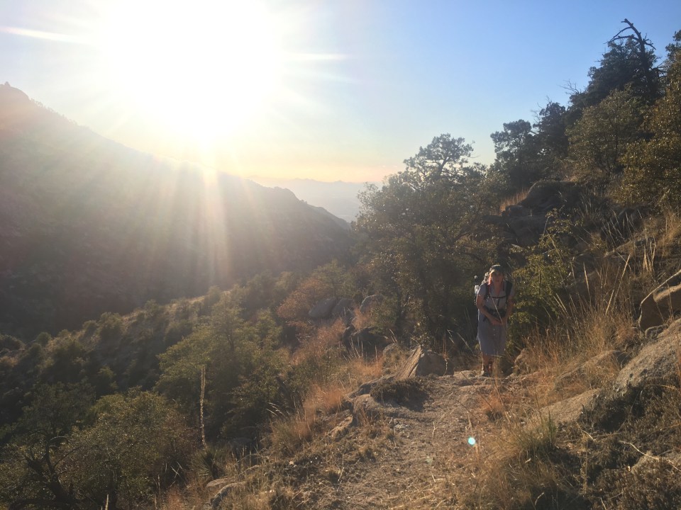
Besides each other, QB and I didn’t see another human being all day. I know the world didn’t end because I saw airplanes but I still think it’s pretty crazy. We’re relatively close to Phoenix, a major metropolitan area with millions of people, yet we walked for 27+ miles in the desert and the forest and didn’t see one other person. Anyway today was tough. This morning we walked along the Mazatzal Divide Trail and half the time it was around 70 degrees and then the mountains would block out the sun and the temperature would drop to something like 40 degrees(all estimates of course). No big deal, it was neither too hot or too cold I just couldn’t find a happy medium. And the trail was rocky too. Loose grapefruit size rocks all day that I kept tripping over. Maybe that’s why nobody else was walking out here. It was very scenic though, whenever I looked up from the rocks I was tripping over I could see forever and there were rocky mountains all over the place. This evening as we were walking out the last few minutes of sunlight the campsite selections were getting slim. We found a spot that’s flat and soft but it might be just a little bit in the middle of the trail. Nobody will mind though. 

Day 19…..26.1 miles…..AZT mile 460.6
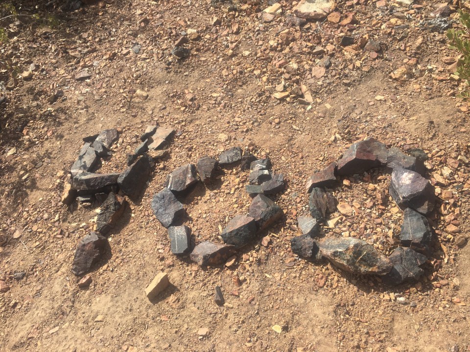
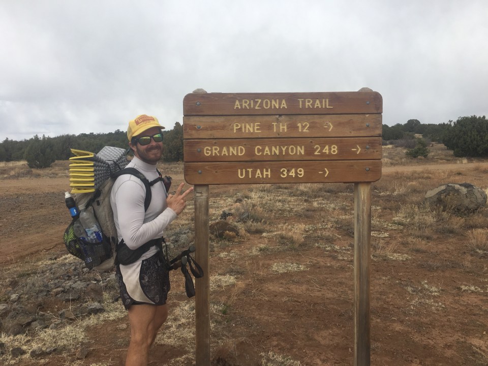
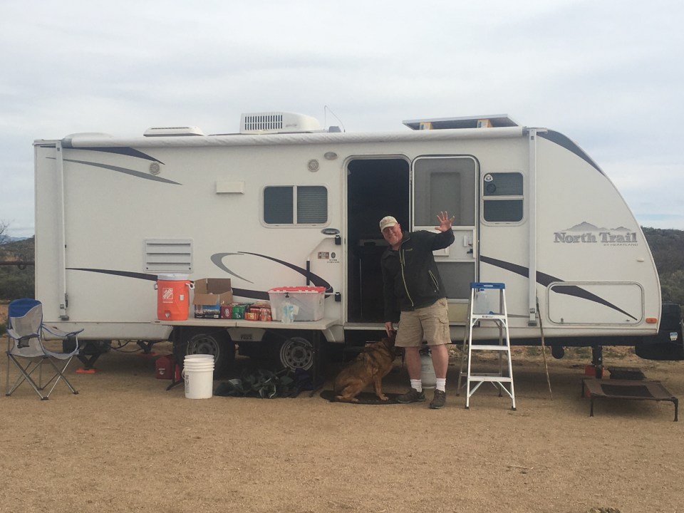
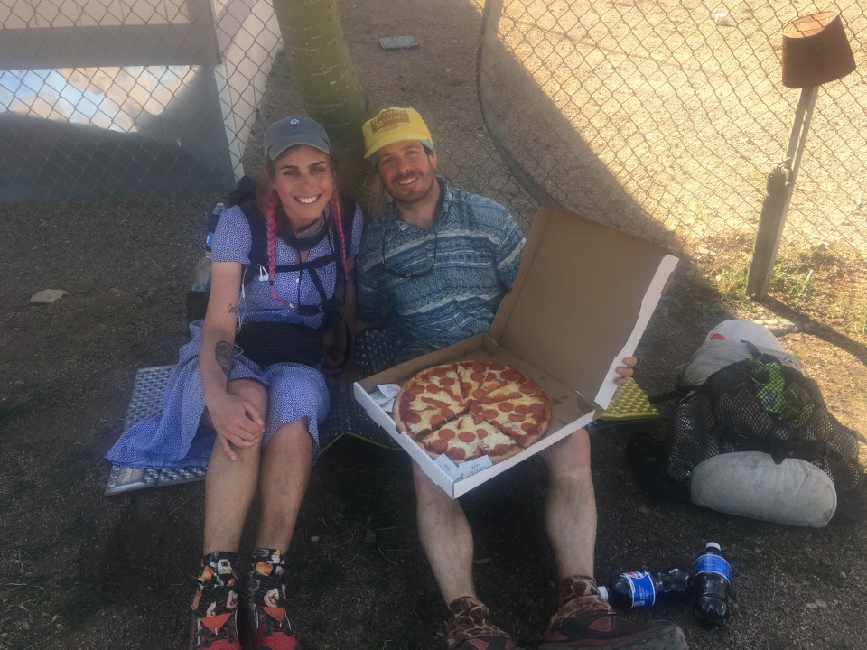
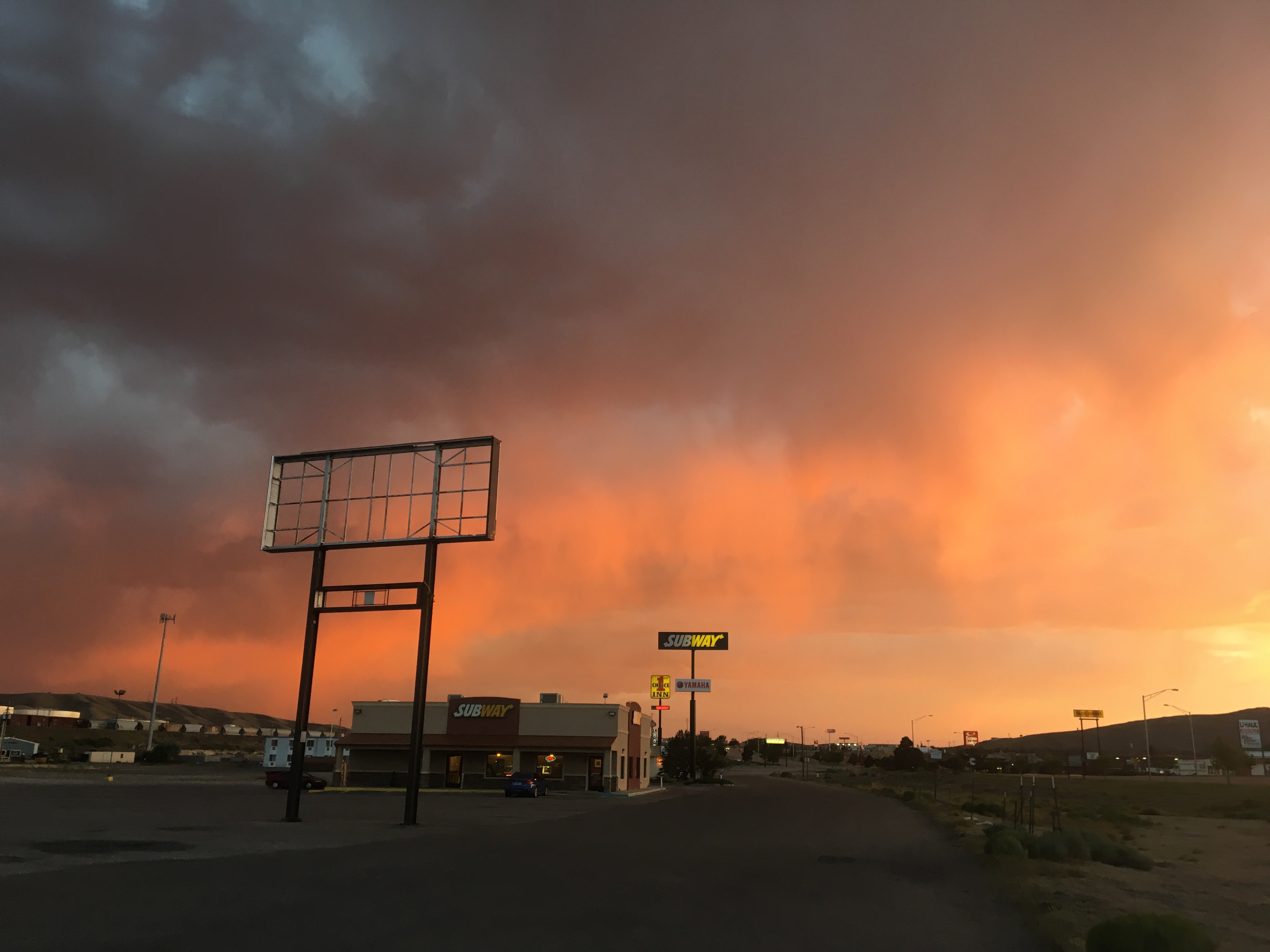
Town day! Although hiking today was a bit of a slog, knowing that a cheeseburger and a hot shower wait for me at the end of the day will always make me hustle. This last section, 160 miles from Superior to Pine, was particularly difficult and getting into town tonight felt very well deserved. I’ve heard a handful of times about hiking the Arizona Trail that the first half, Mexico to Pine, is super difficult and then the trail gets pretty easy once it gets up onto the Mogollon Rim all the way until Utah. We’ll see if this proves to be true but I will attest to the fact that the first 460 miles were relatively difficult hiking. Not all the time, but some of the days were rather tough.
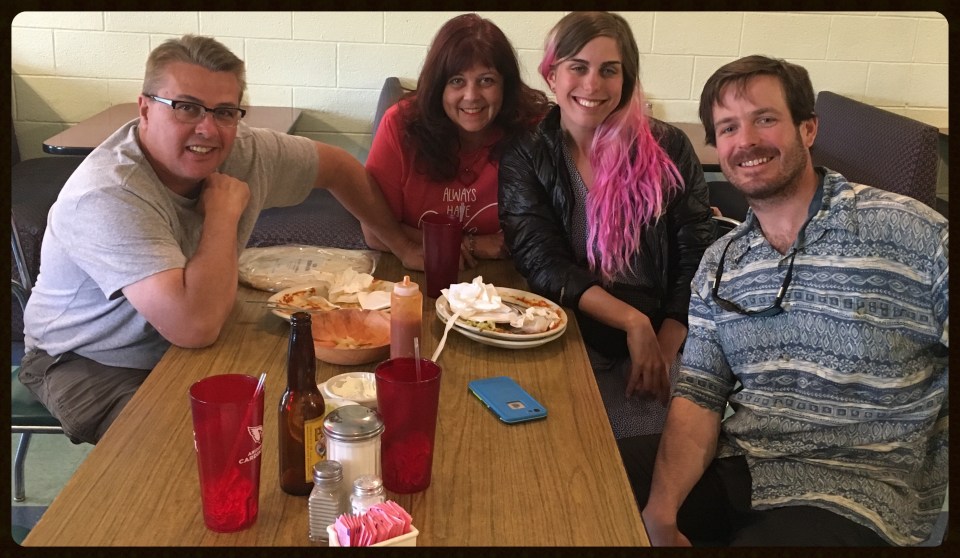
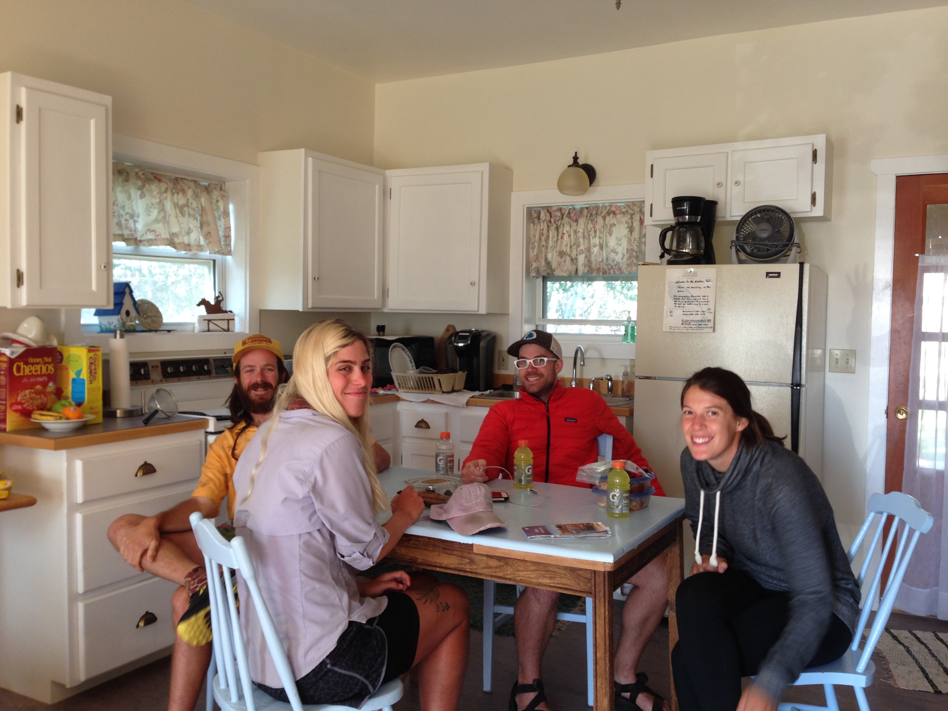
This evening we got to the cozy little vacation town of Pine and I love it already. We stopped at THAT Brewery and Pub(THAT’s how they spell it) on the edge of town to quickly stuff our faces. A few days ago, actually 75 trail miles ago, we ran into a trail runner, Ed, who gave us his info and told us to get in touch if we need anything in Pine. The very first people we see in the brewery are his wife, daughter, and son in law who recognized QB’s pink braids and told us who they were. Ed’s daughter ‘No Bad Days’ and son in law ‘Waldo’ are thru hikers themselves and although we never met them, they were also on the Colorado Trail in ‘16, the same year as us. Small world I guess. Ed’s family was super nice and offered to help us with anything we need while in town.
After eating burgers and a bunch of elk meat covered nachos we got set up in the 1 room cabin behind the restaurant that the Brewery rents out. Absolutely perfect! I just took one of the best showers of my life, at least top ten, and am about to crash out in a bed for the first time in a week. 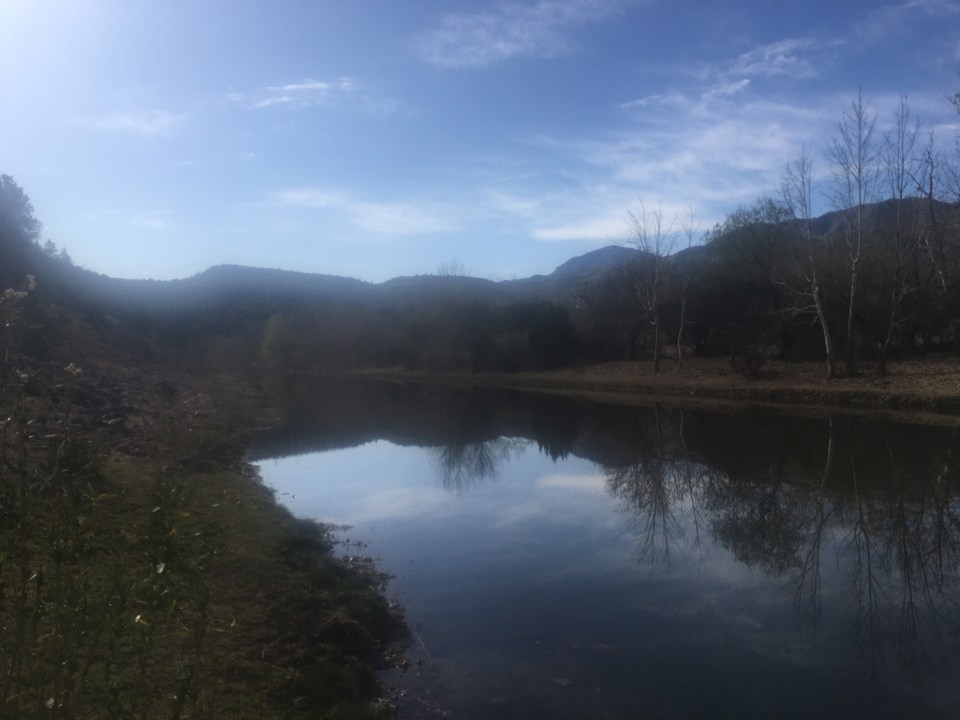
 for more pictures follow me on insta @endlesspsummer and for more stories subscribe to this blog


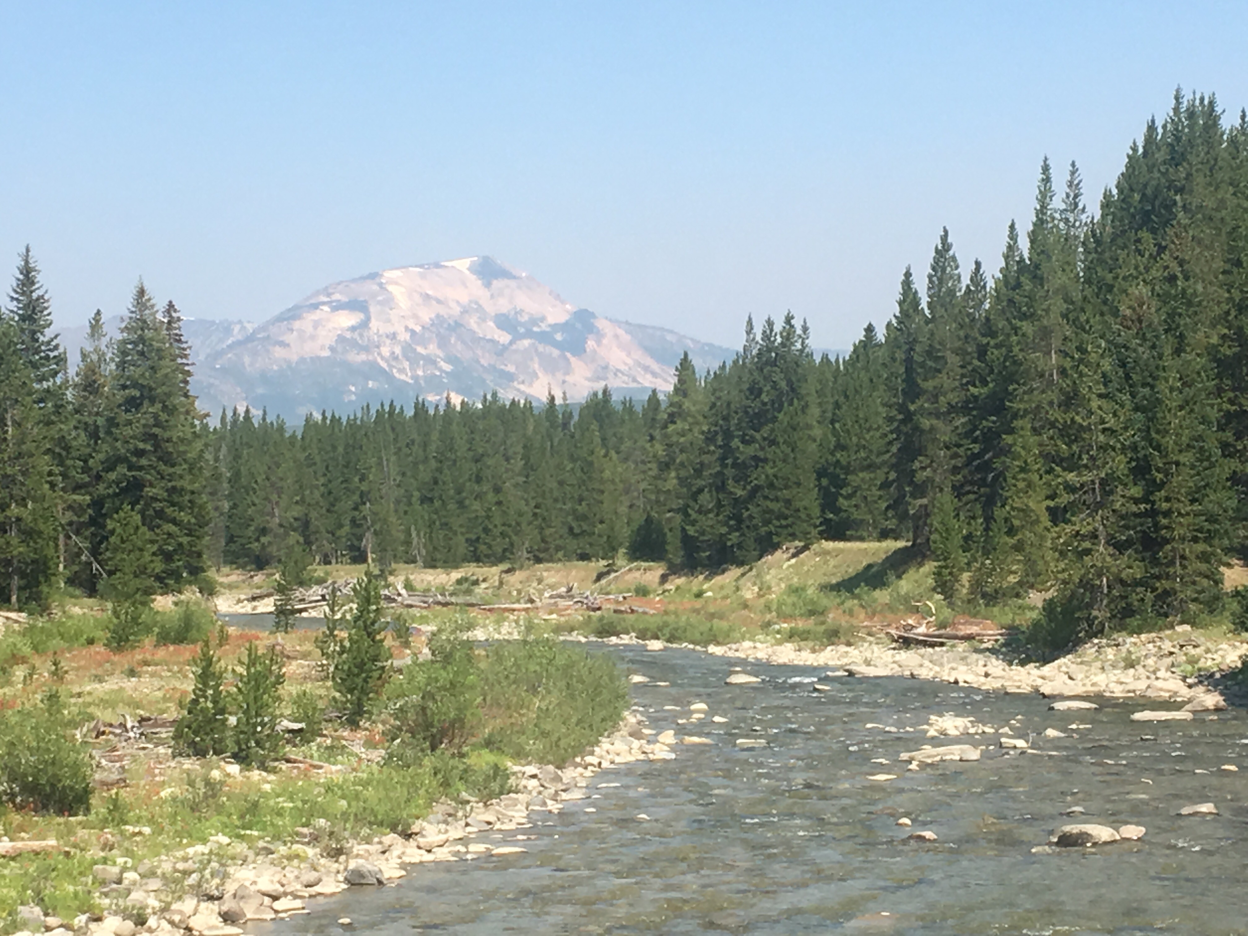
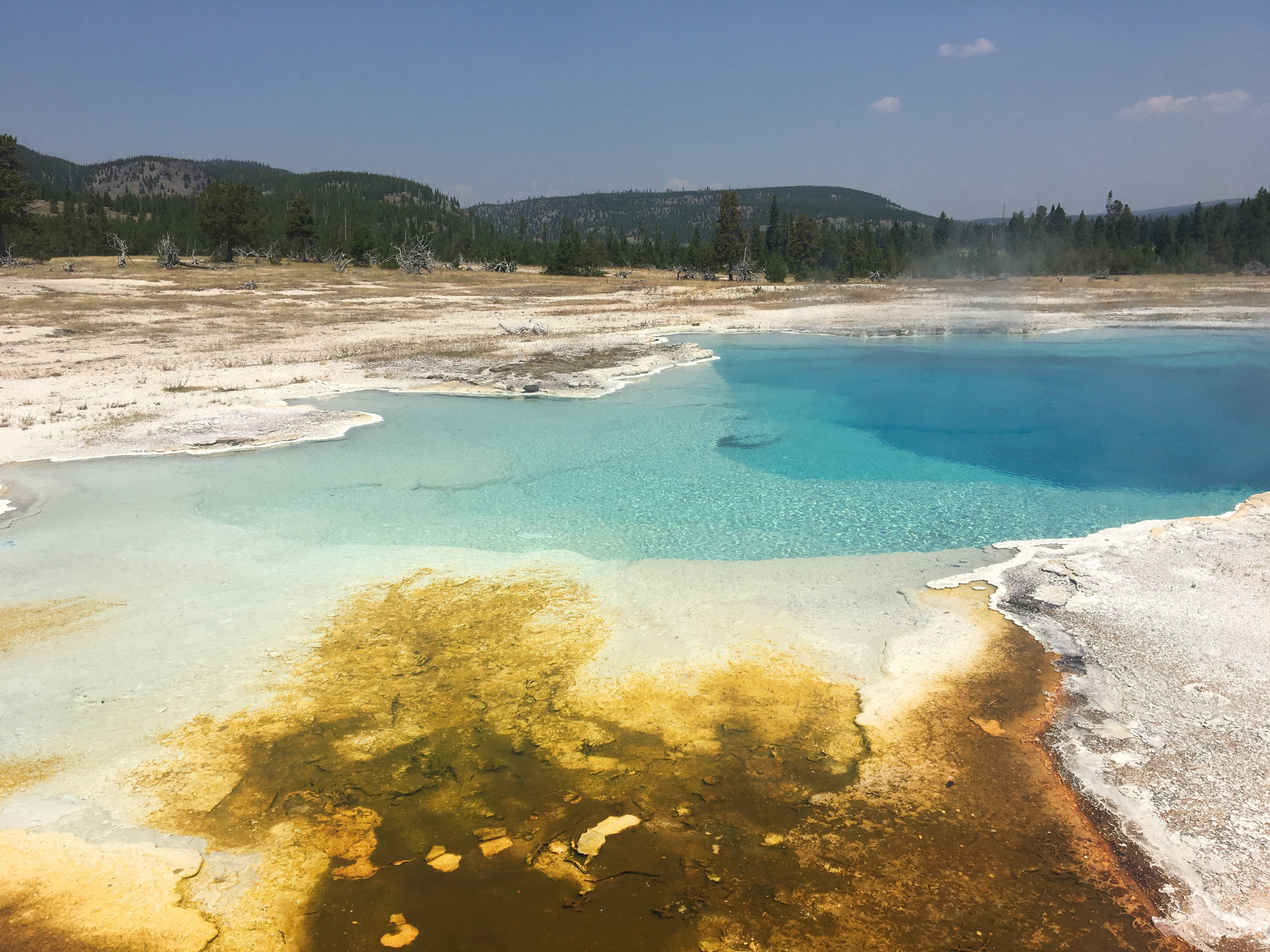
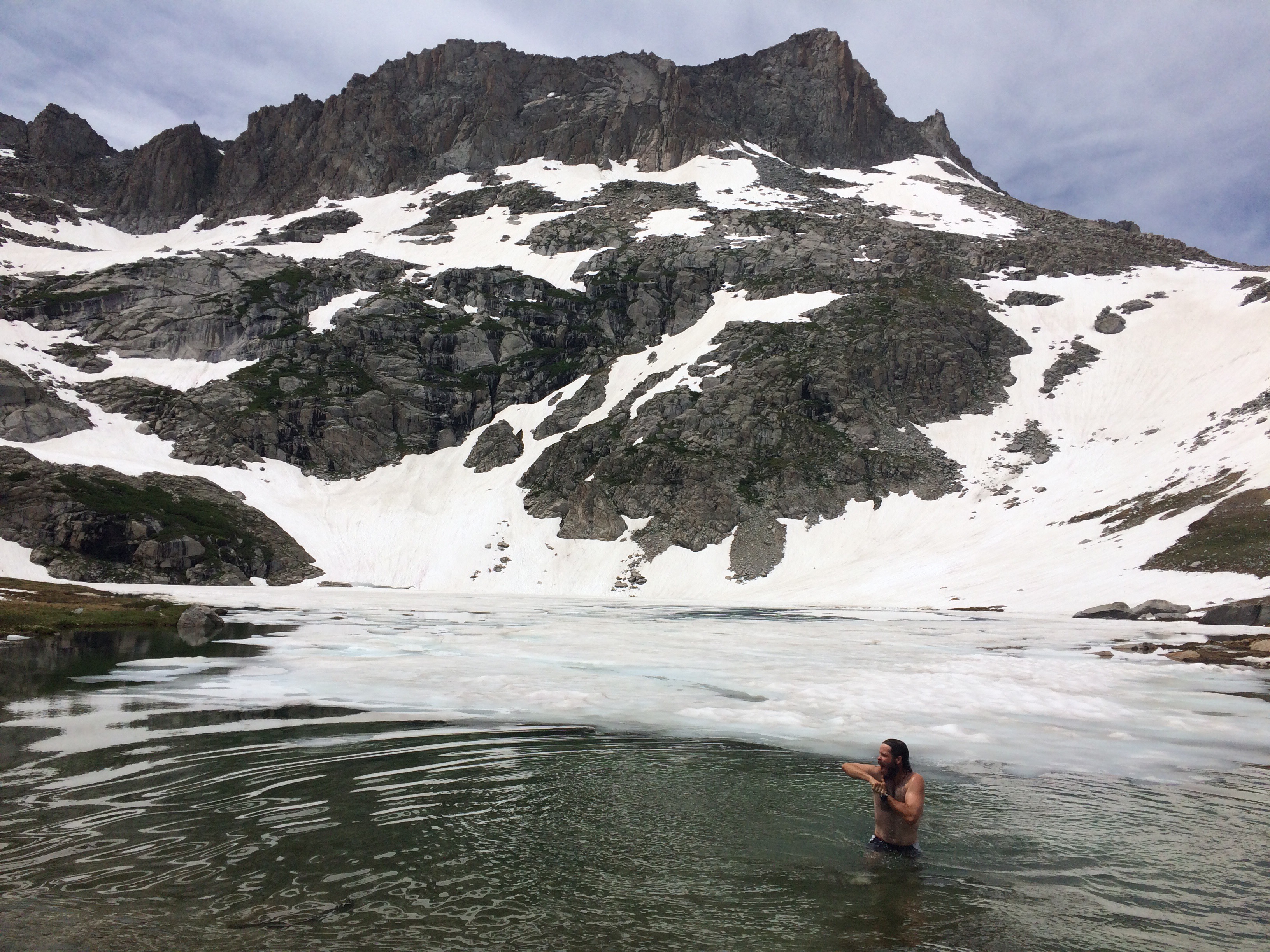
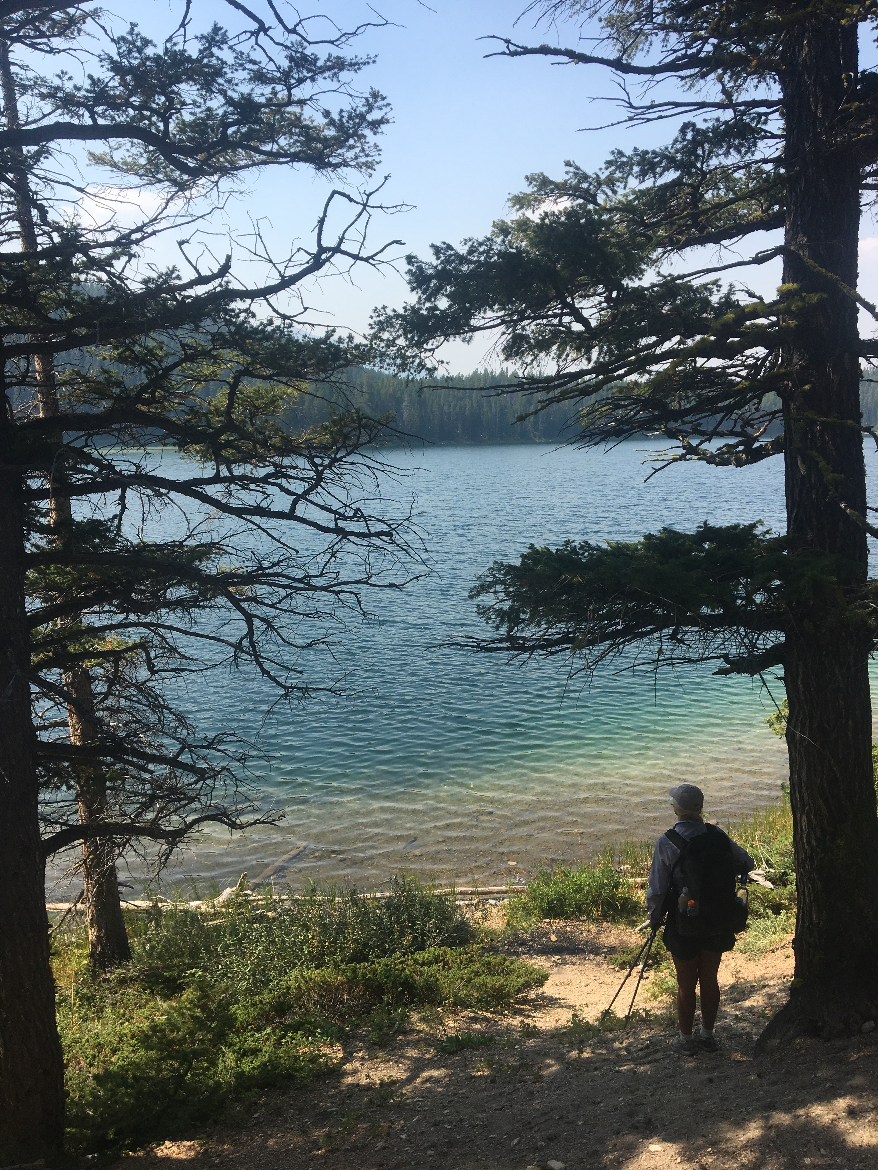 swam in beautiful Heart Lake
  skies are clear for awhile back on trail


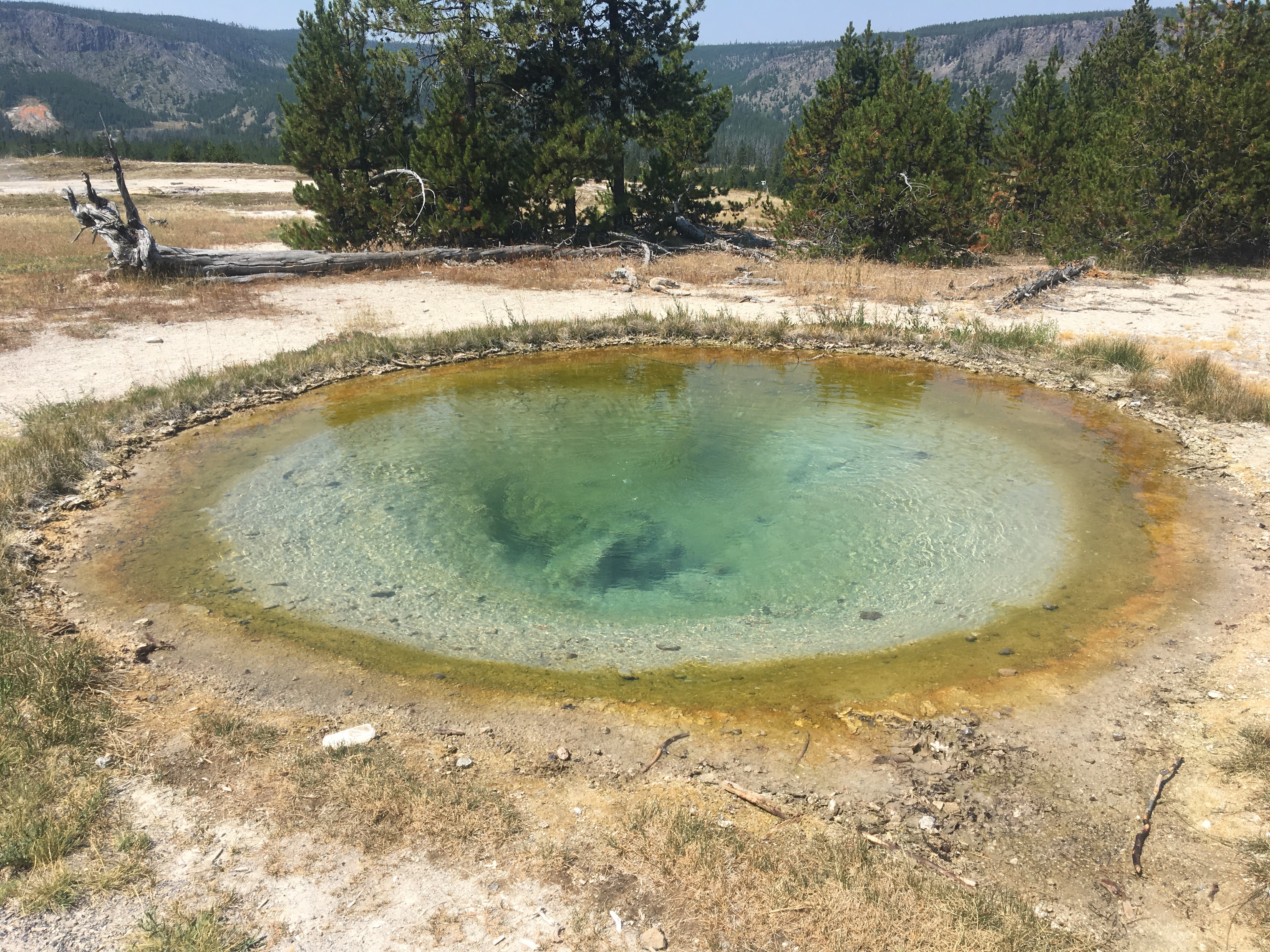
 Appa examining a swimming hole
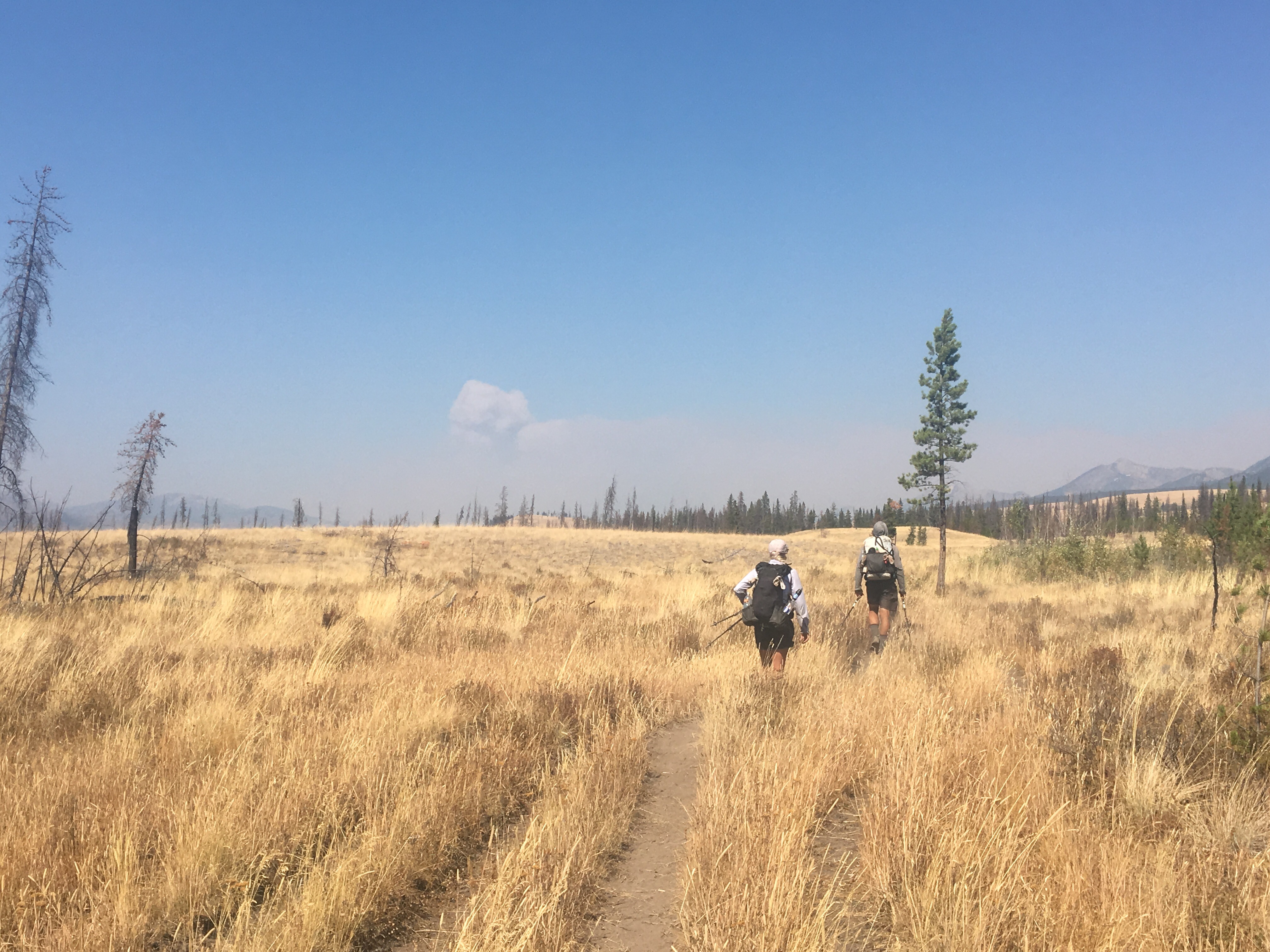

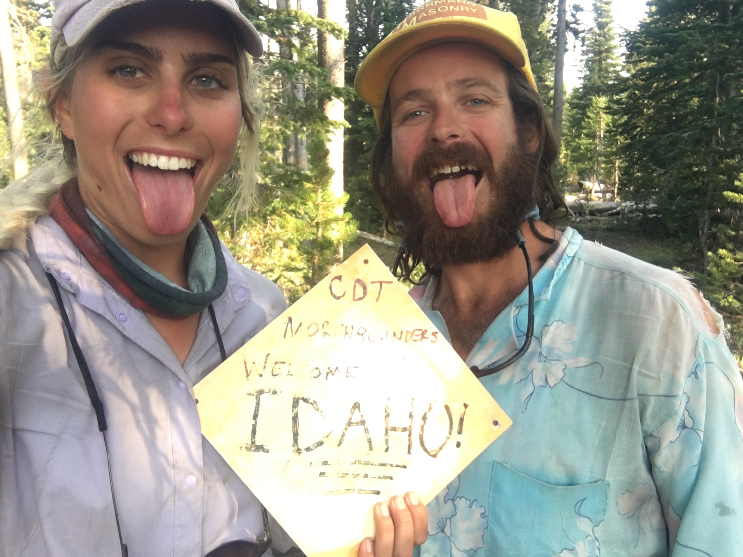
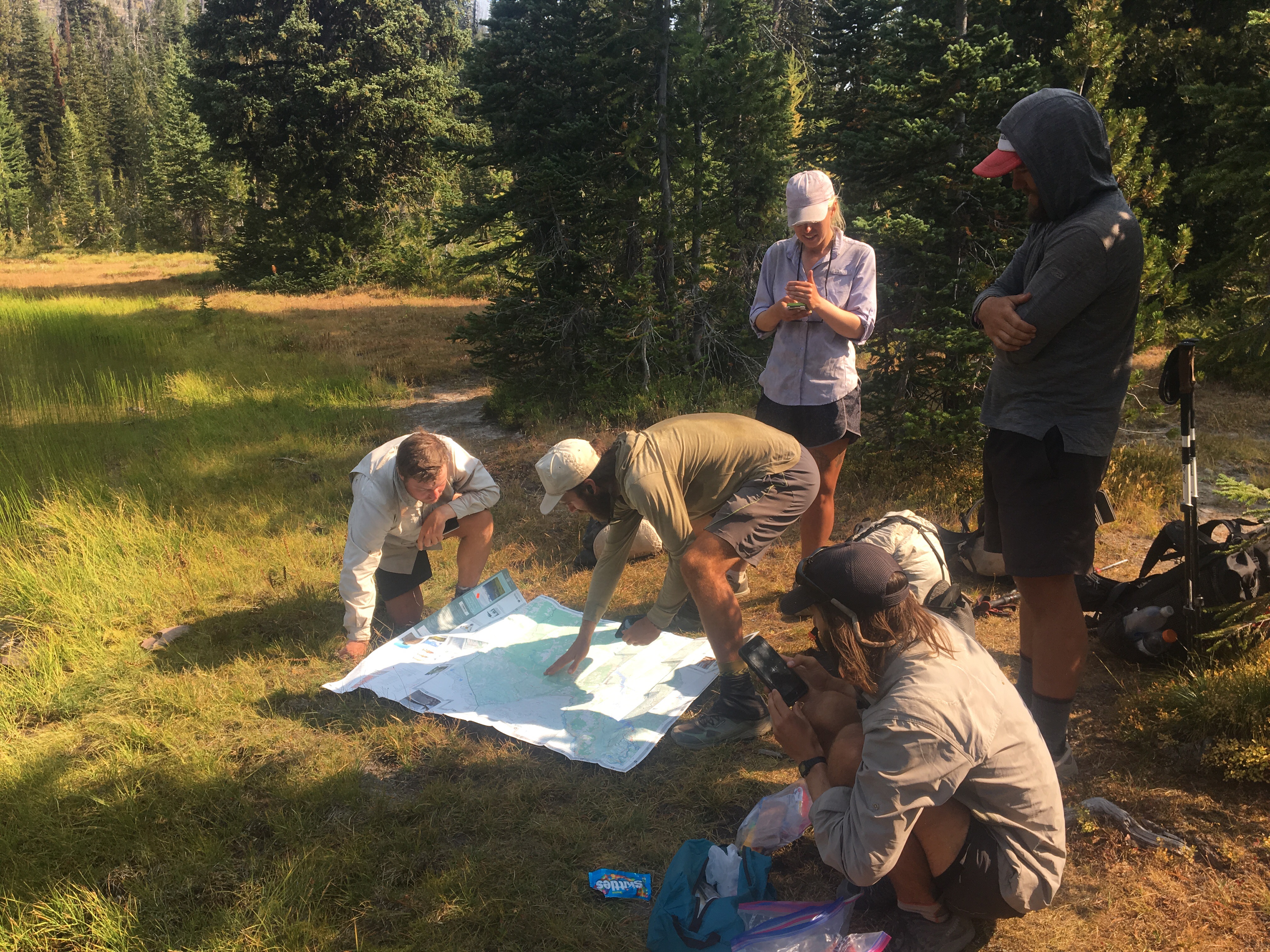 Ran into Griggs and got some awesome news, figuring out the reroute north

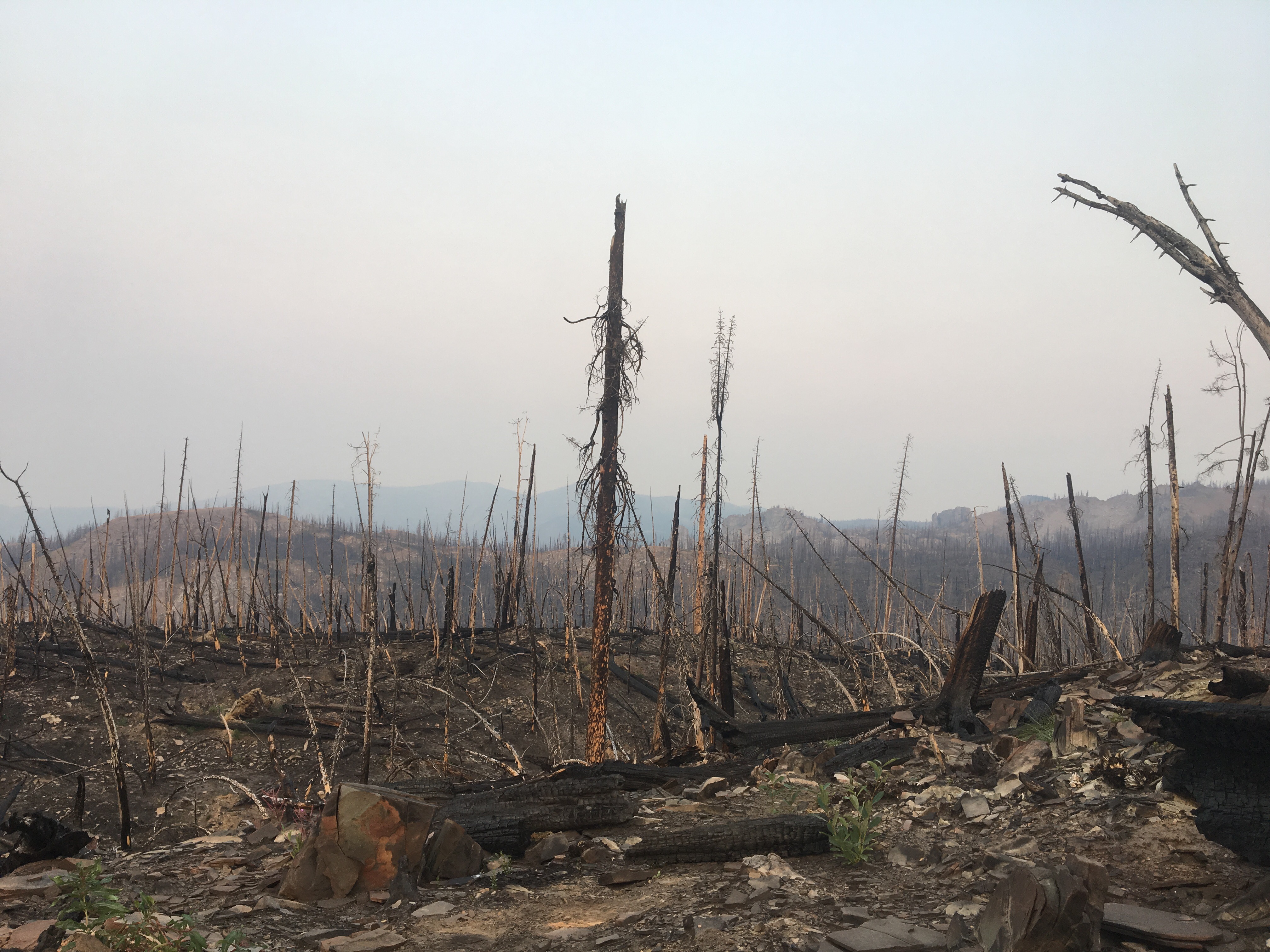

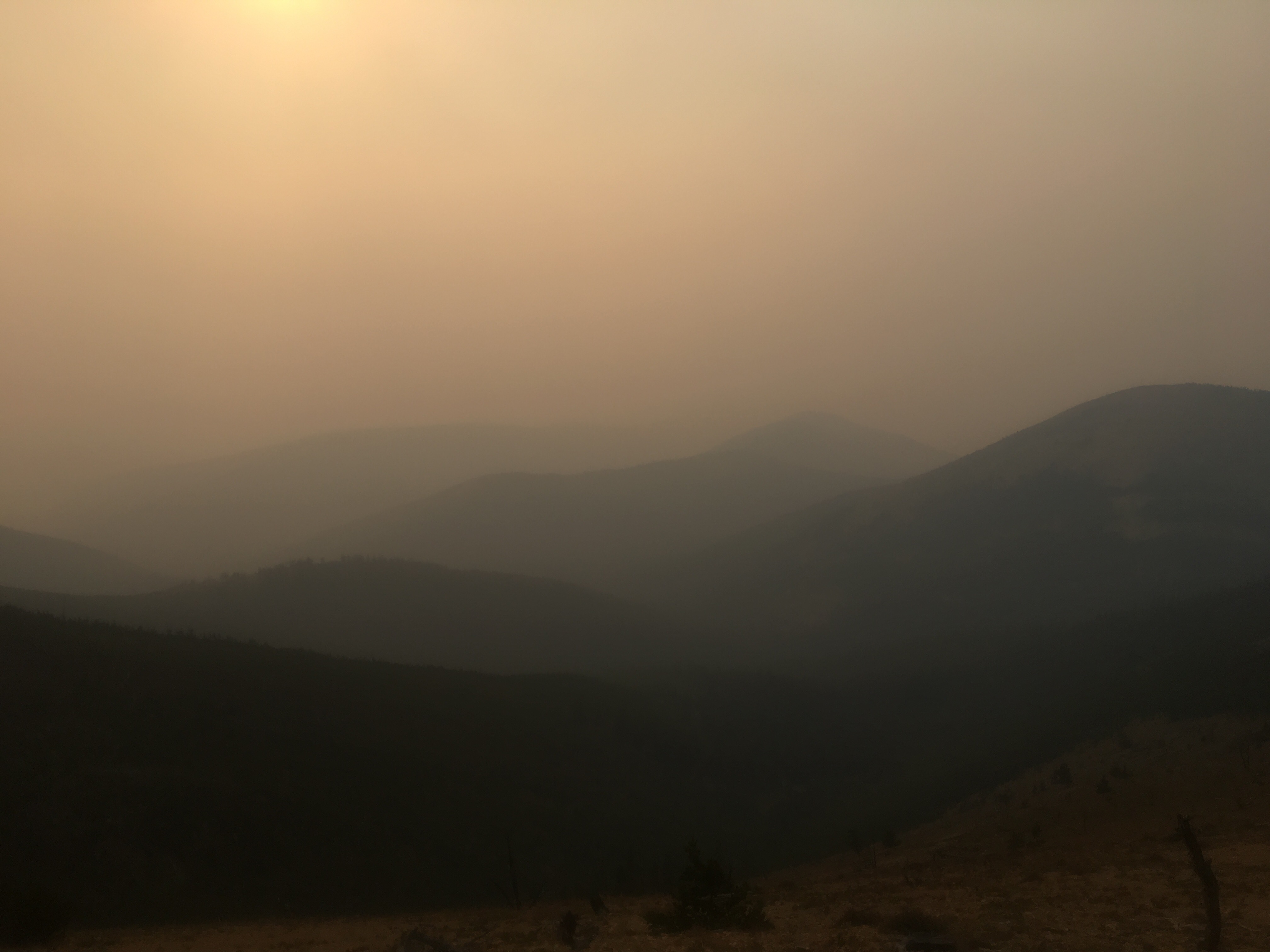
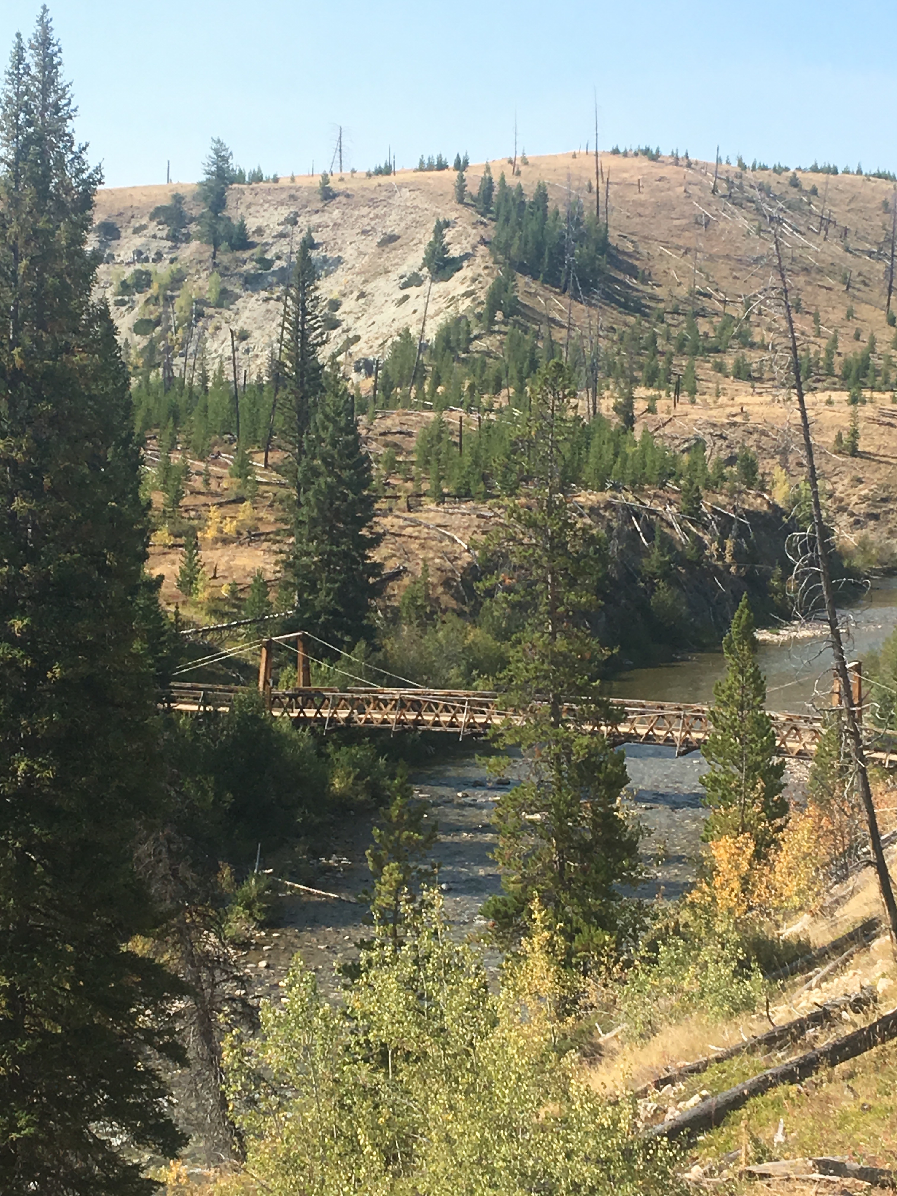
 Drove by the smoky Lolo fire
 Cat and Den
  Me, B, BK, and the Pear

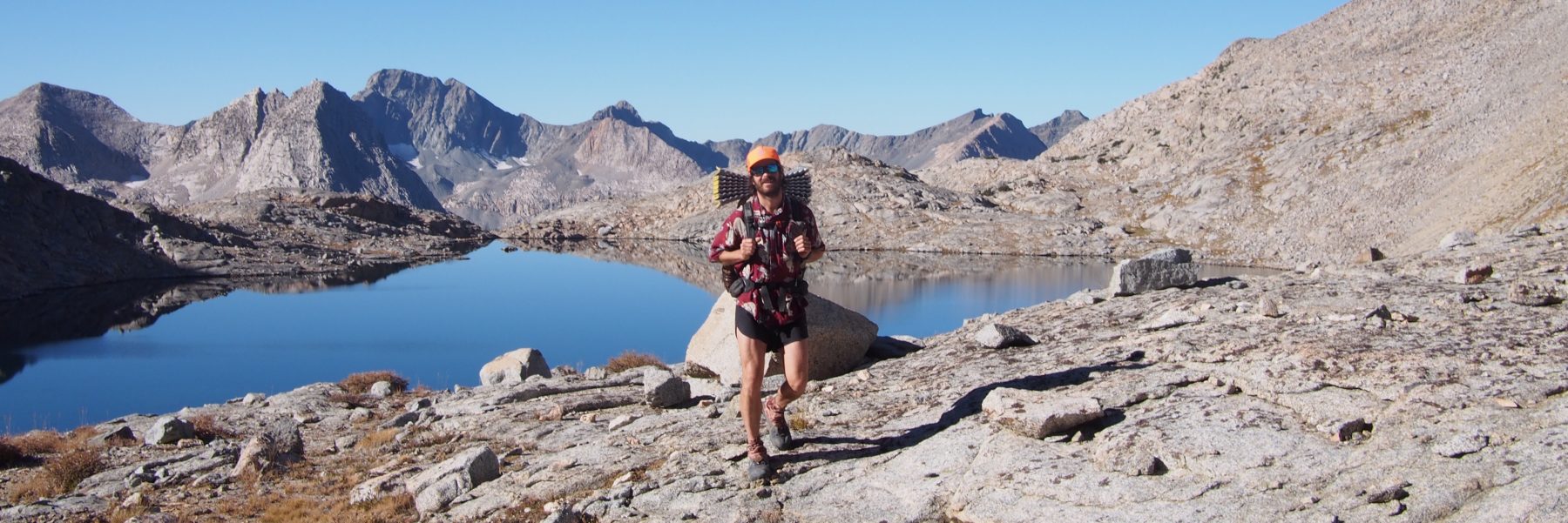
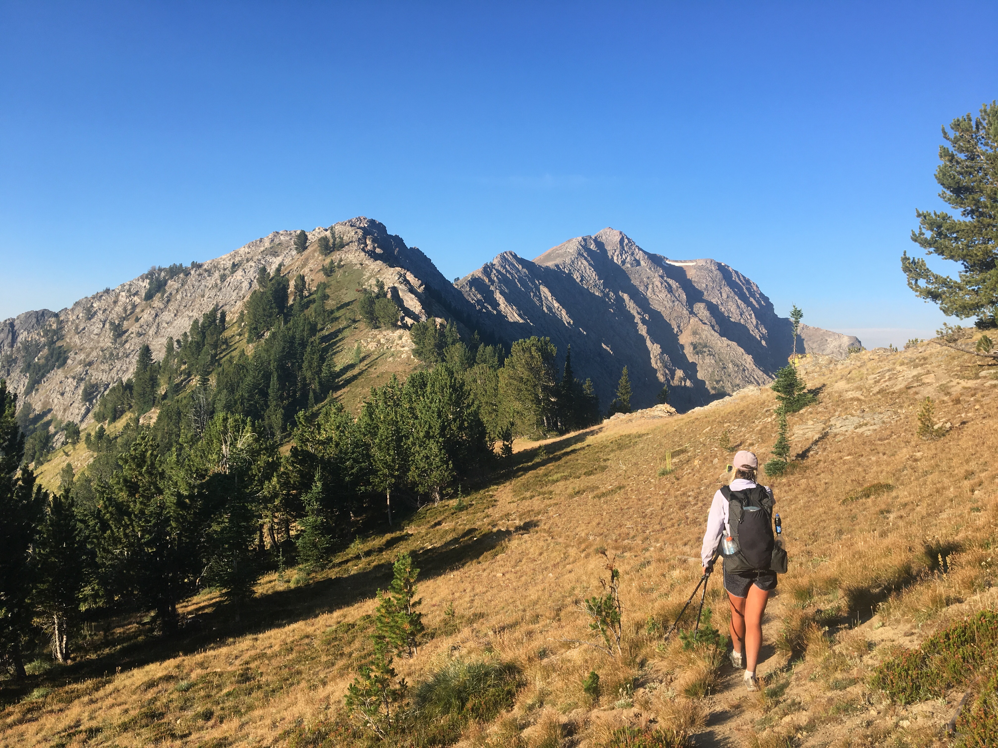
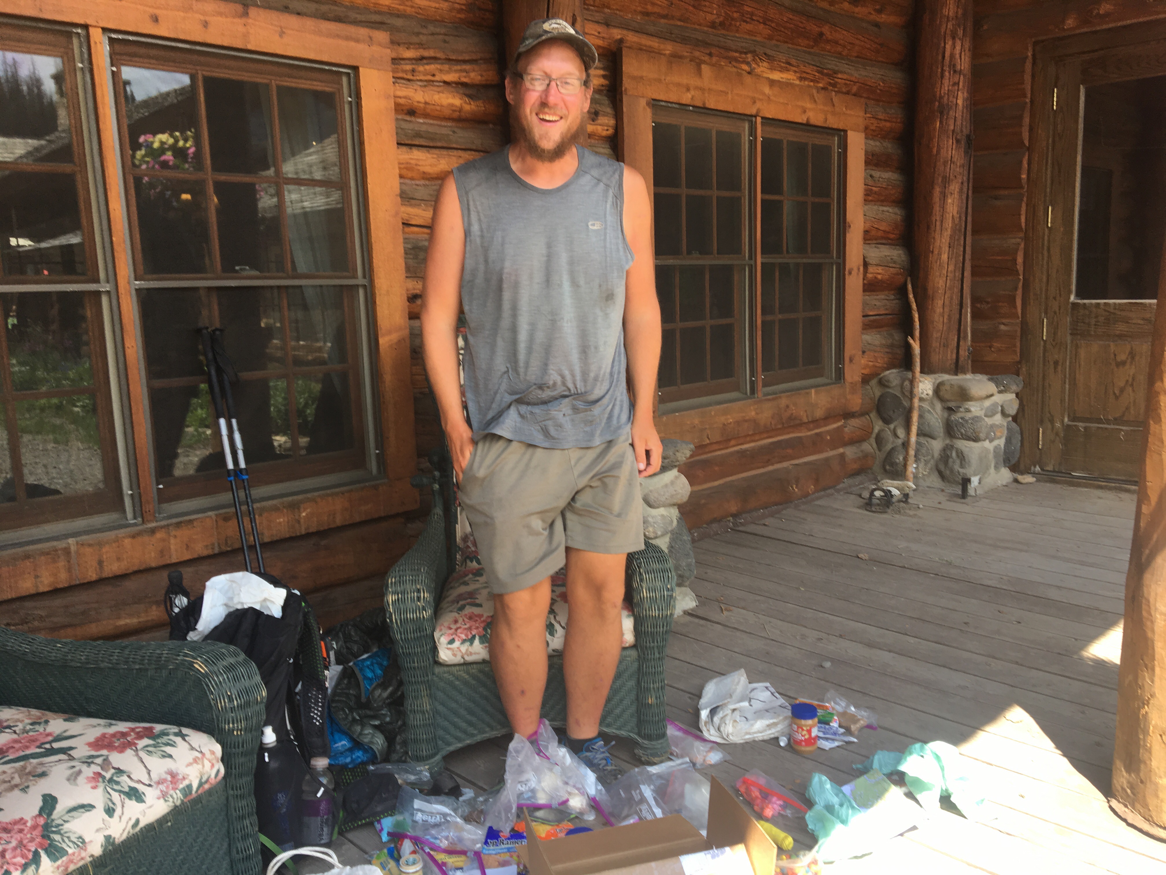
 There’s only a few times in life when the universe comes together and you’re allowed to look this cool
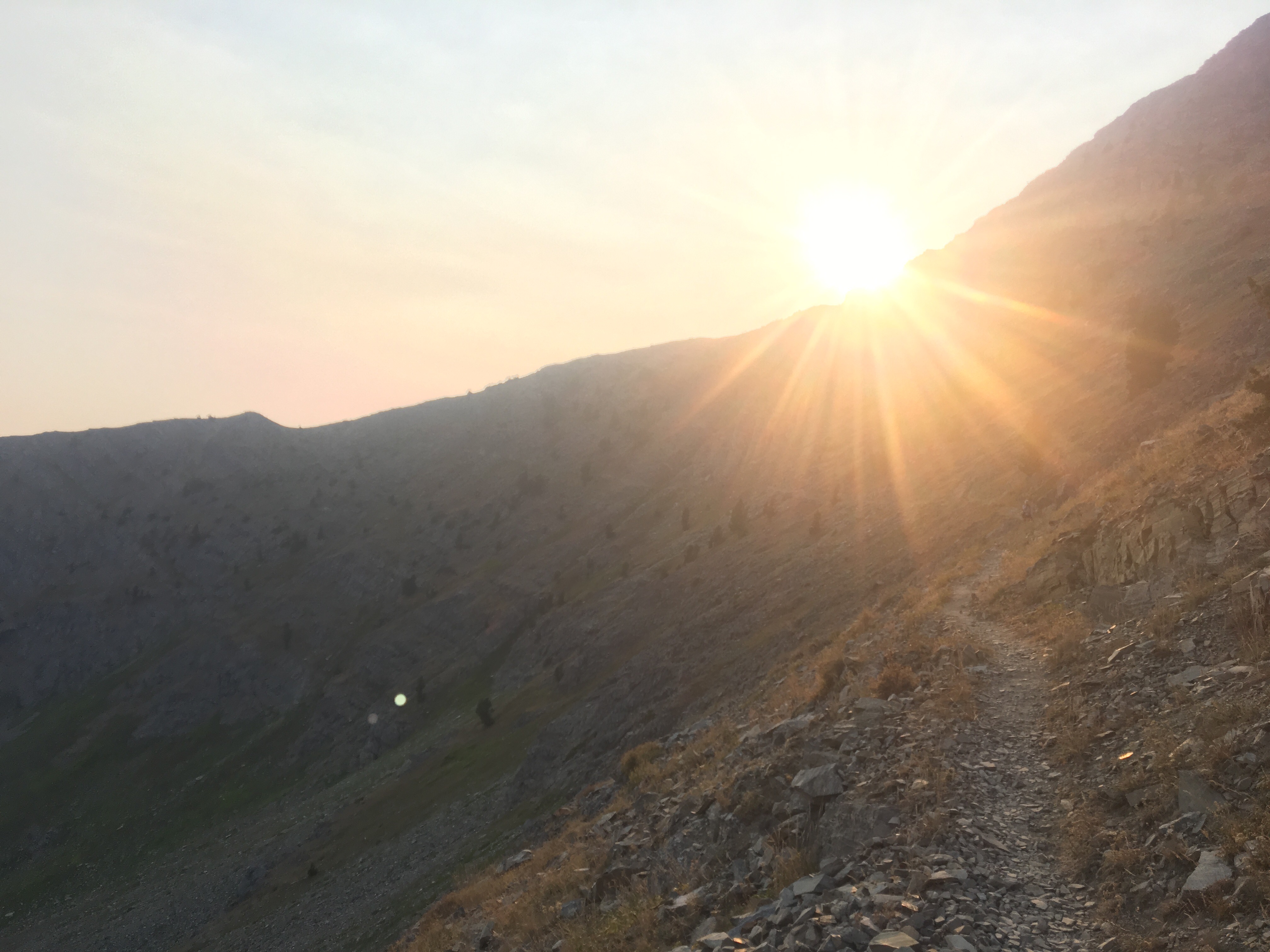
 Up over Rainbow Pass first thing this morning
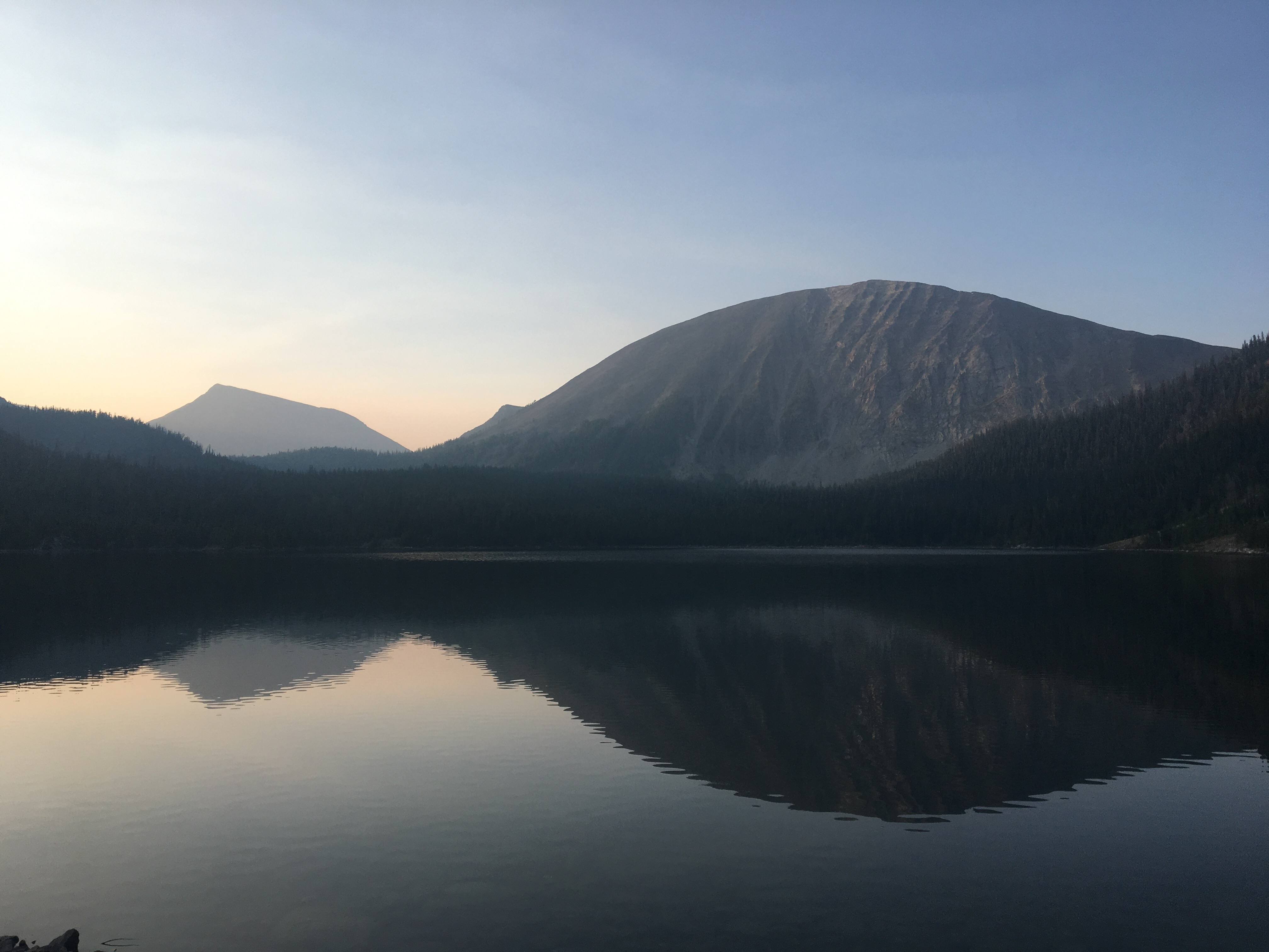
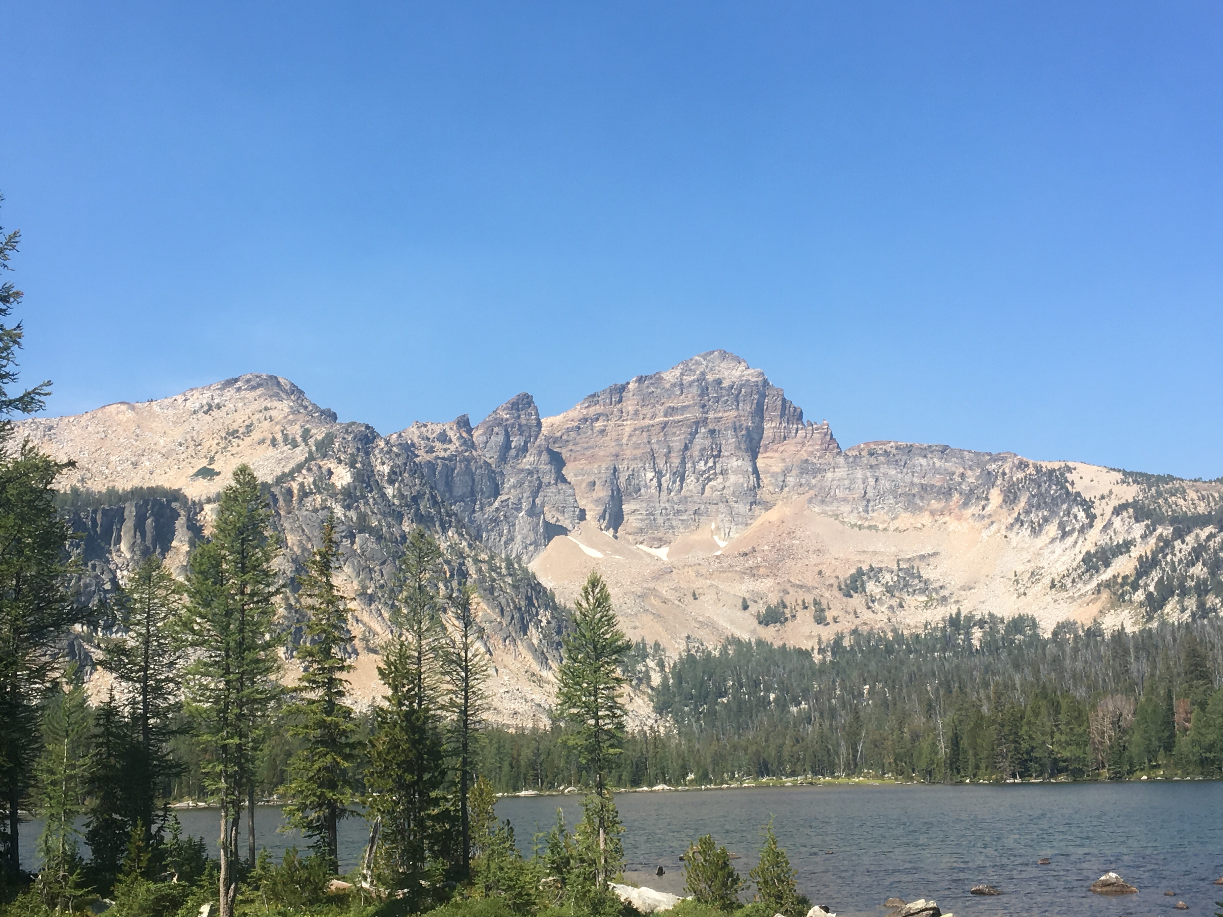 Warren Lake
  Icy cold water with a view
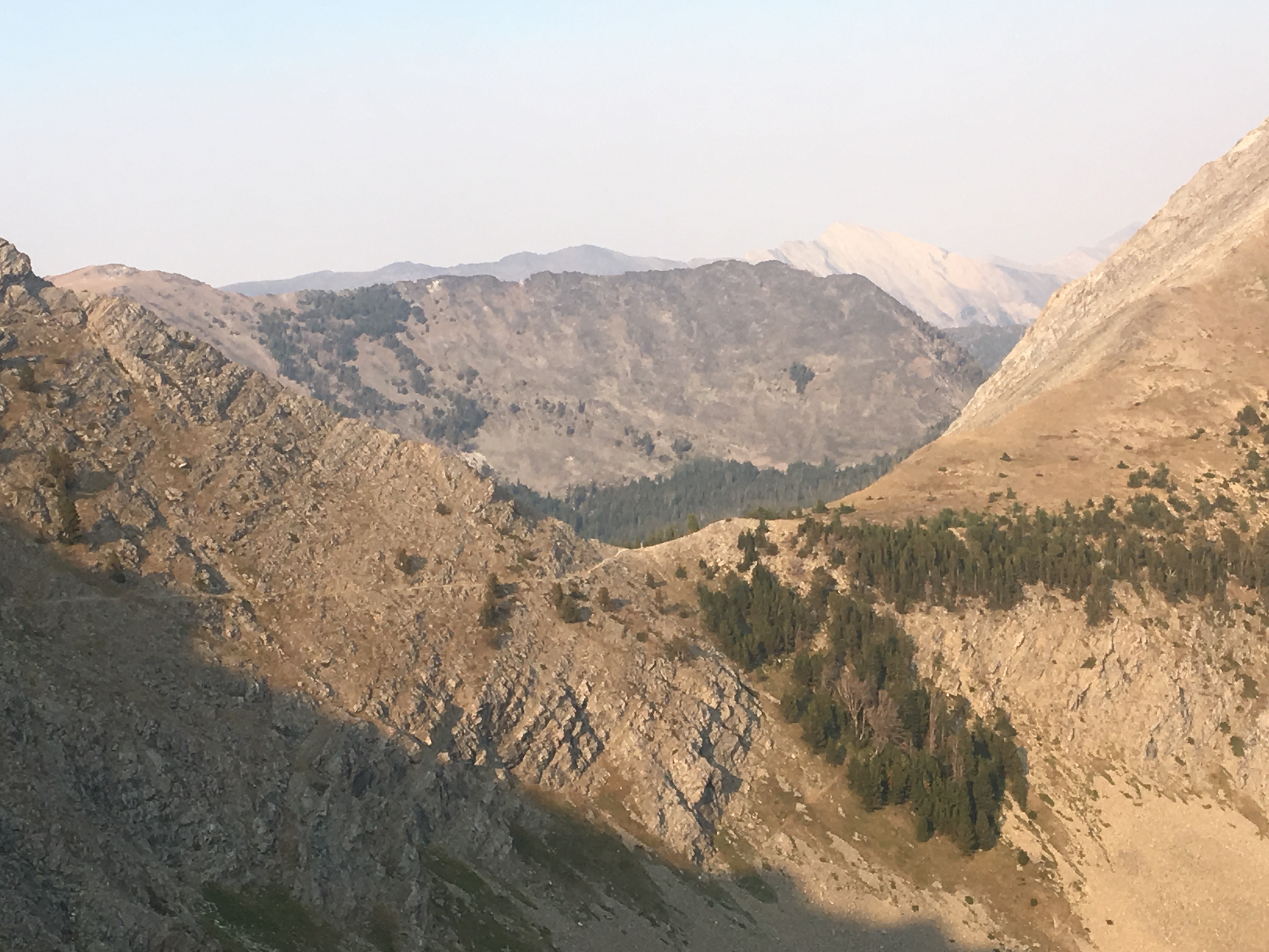
  Looking out from Raimbow Mountain
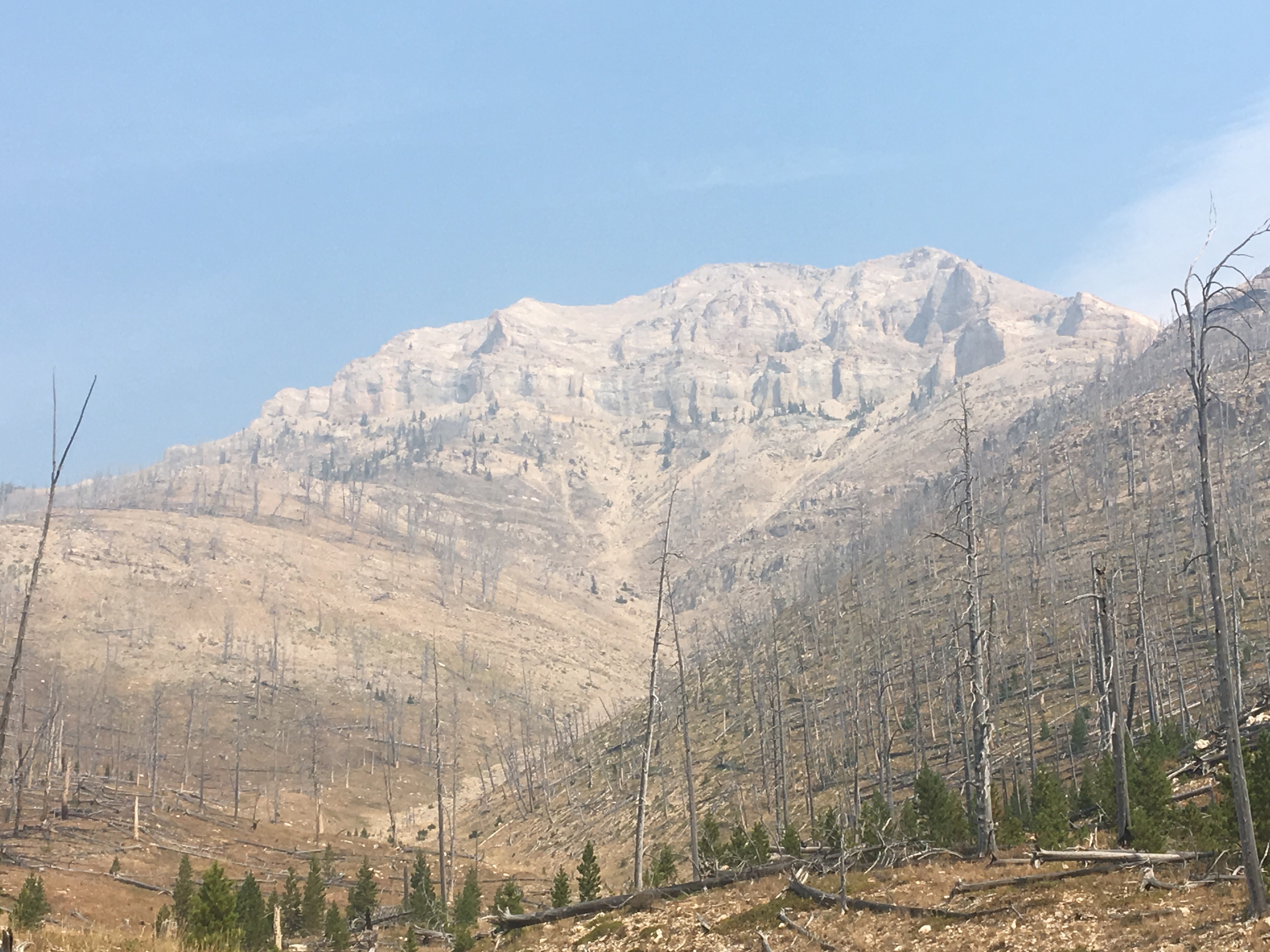
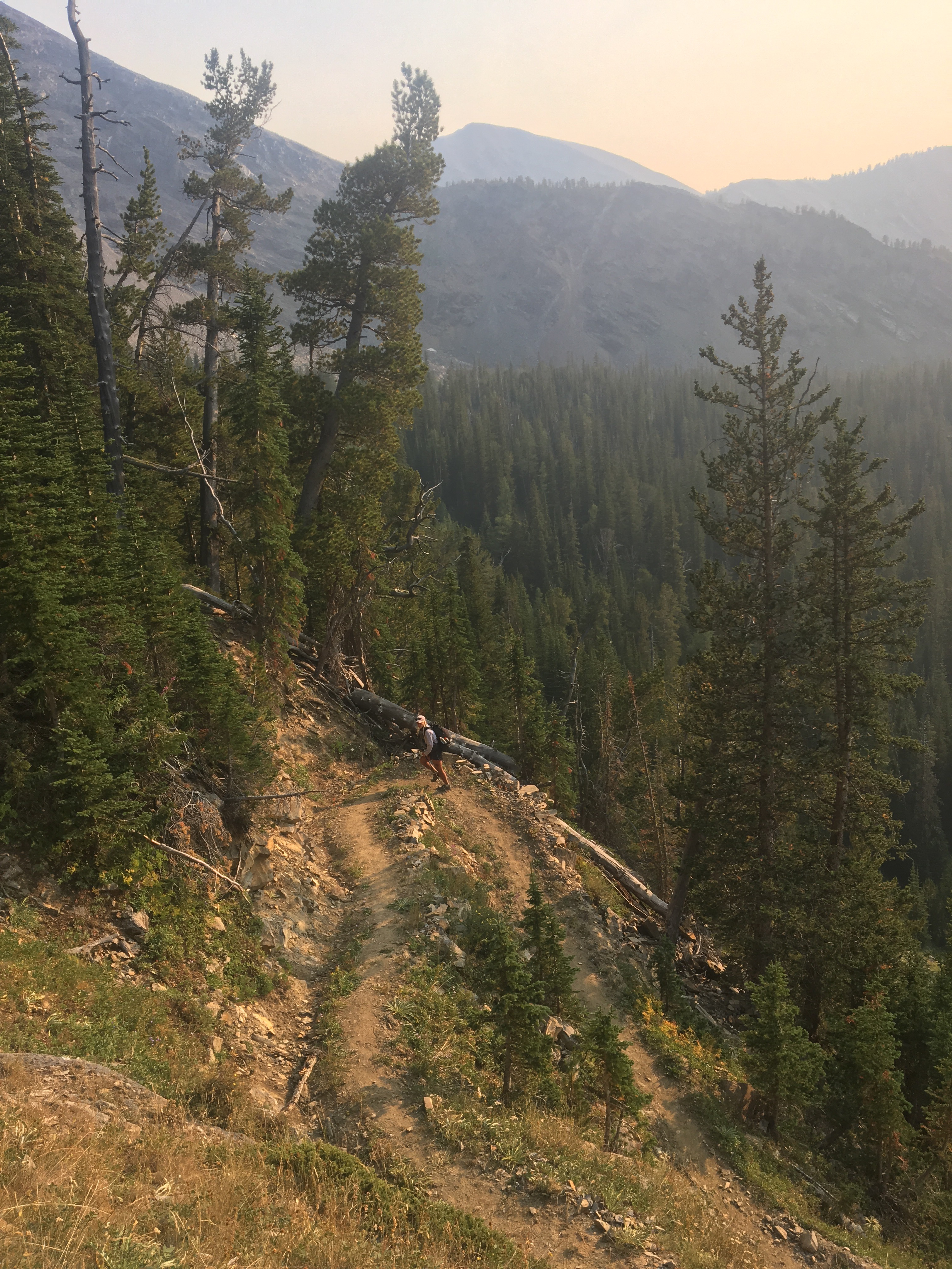 The trail work in this section of Montana has been impeccable. Hats off to the Montana Conservation Corps
 Storm Lake Pass
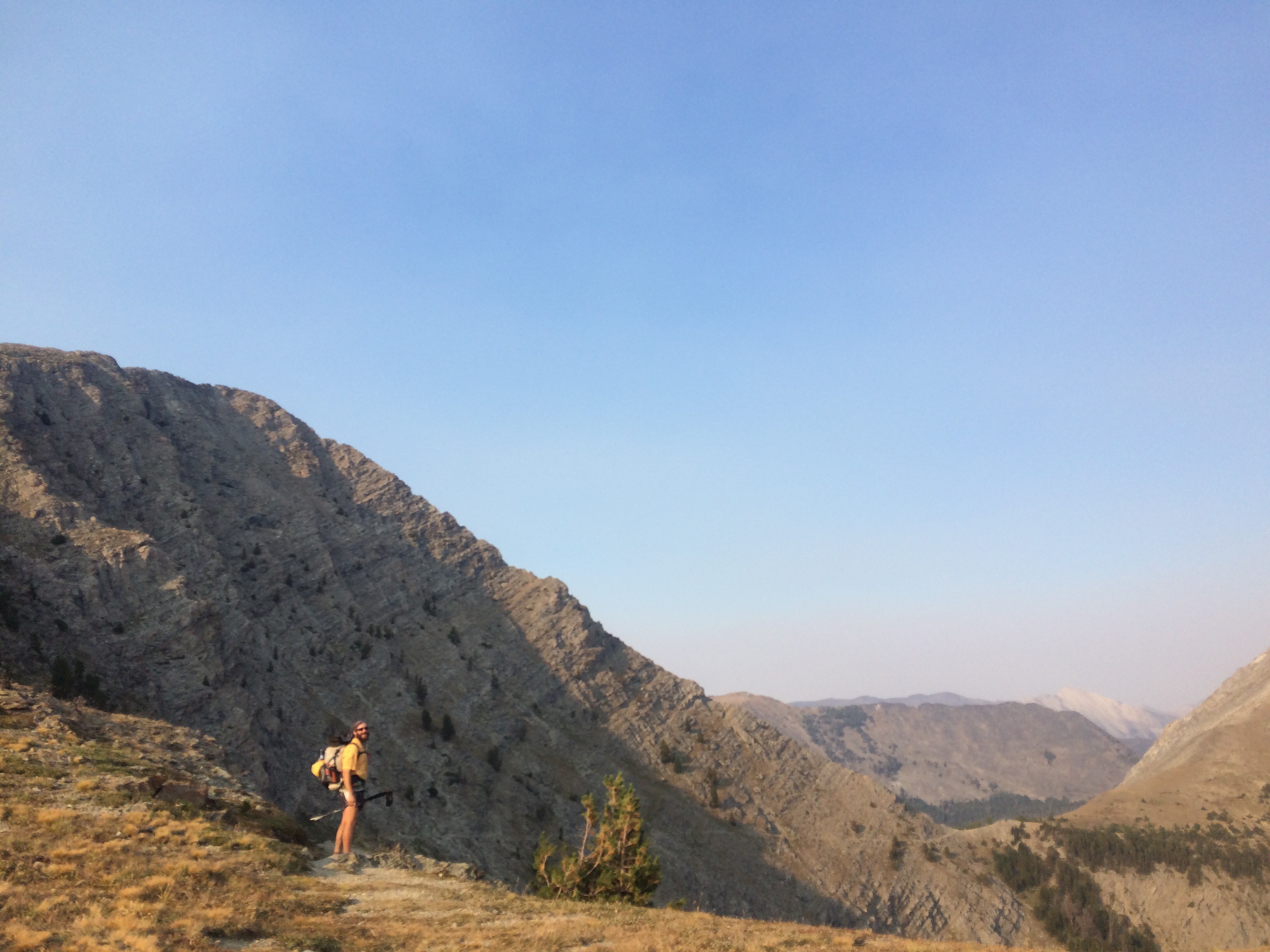


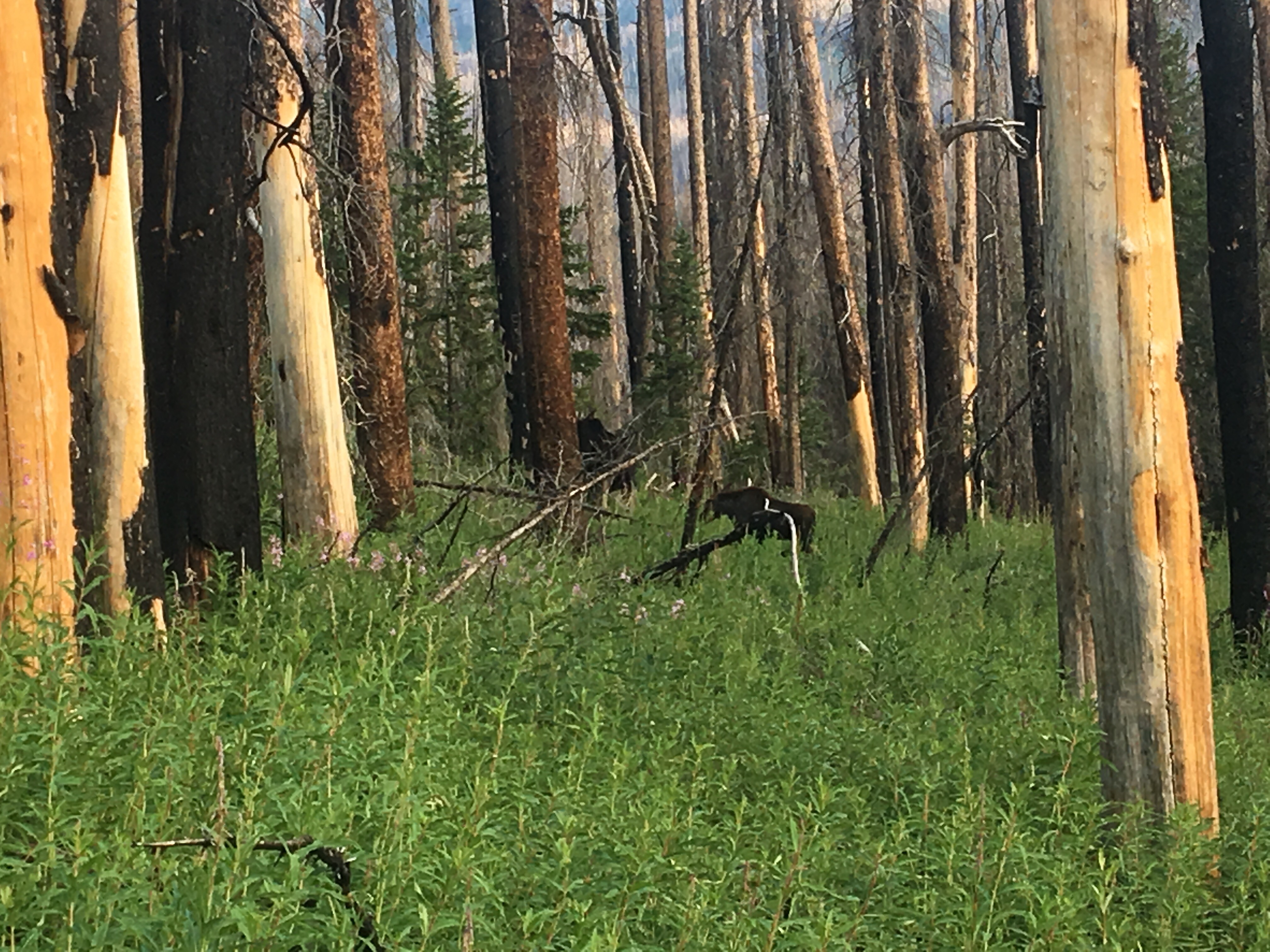 Moose!
 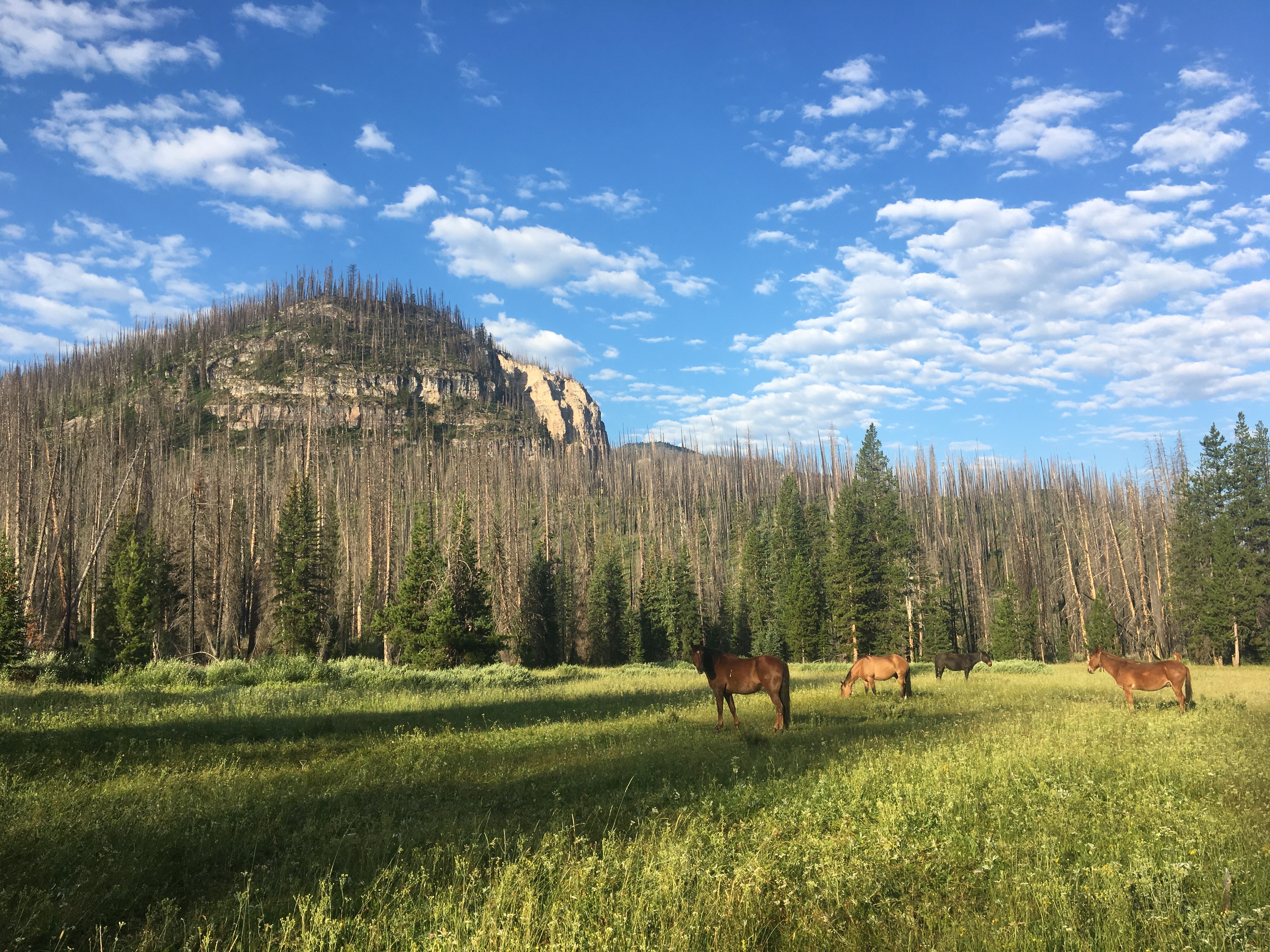 Boring horses
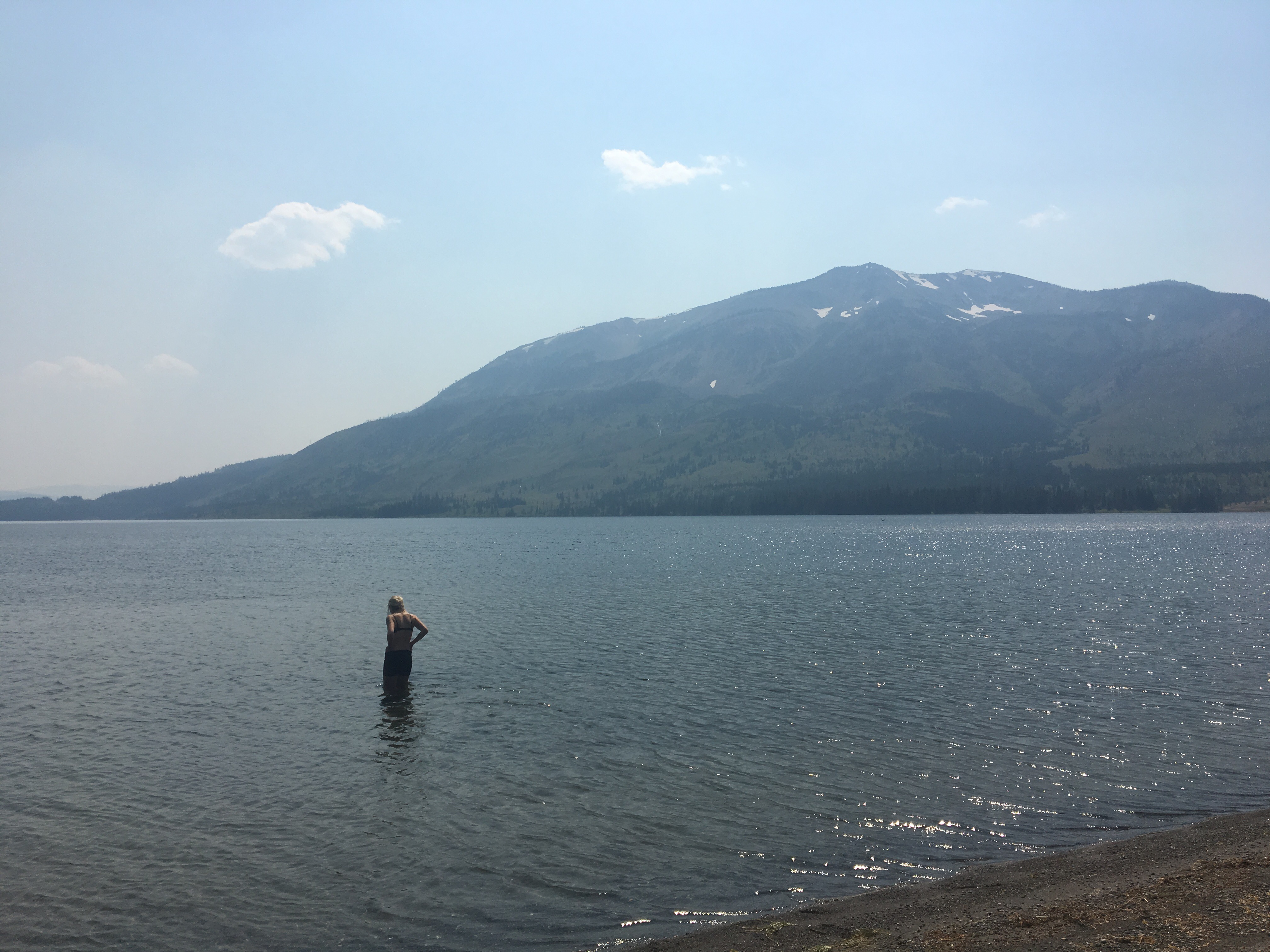 QB bathing in Heart Lake


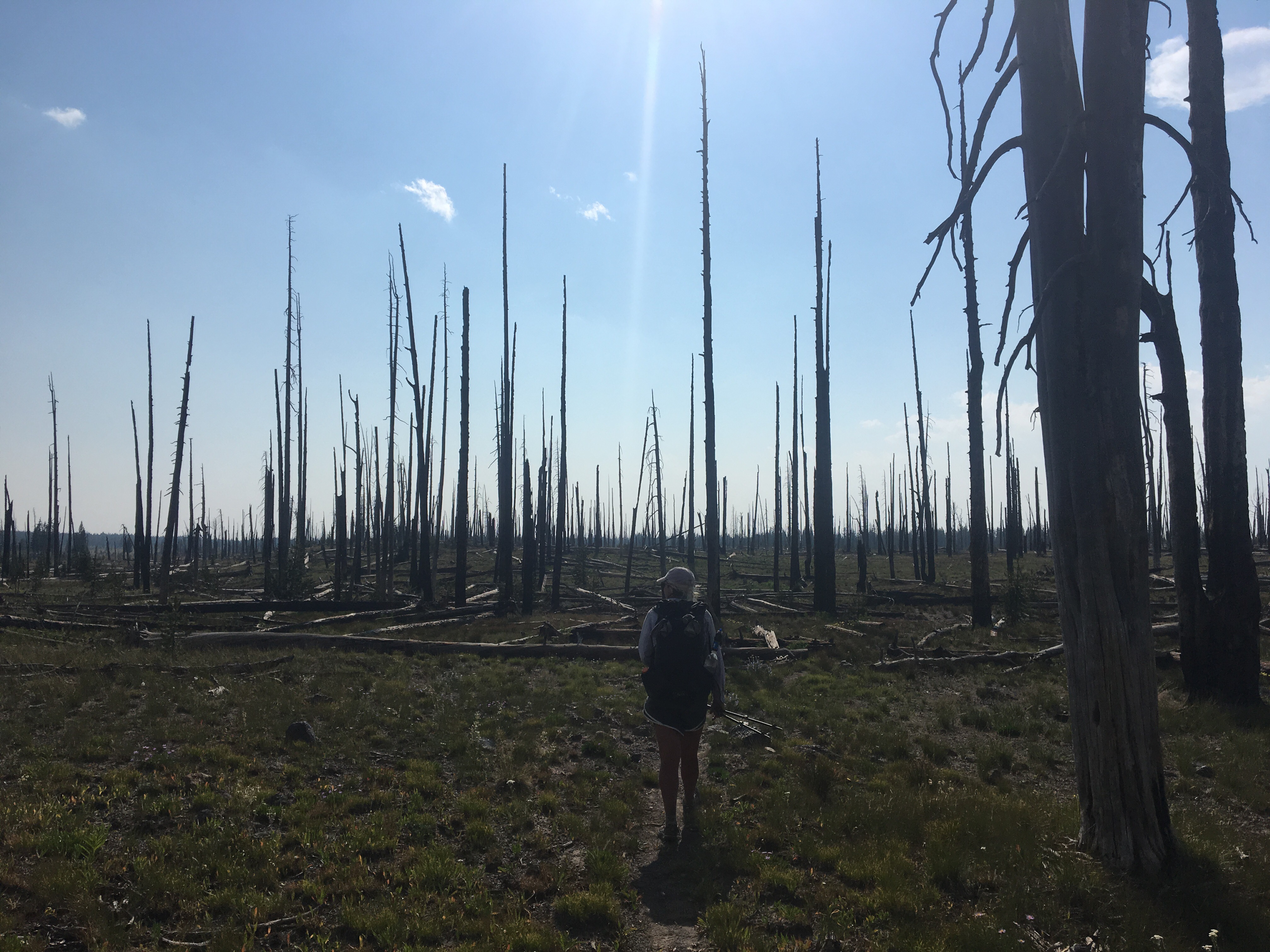


 We just walked out of the desert yesterday


 in full mosquito protection

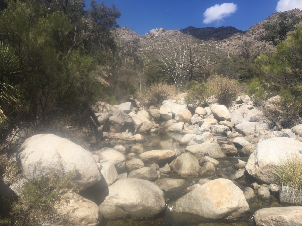
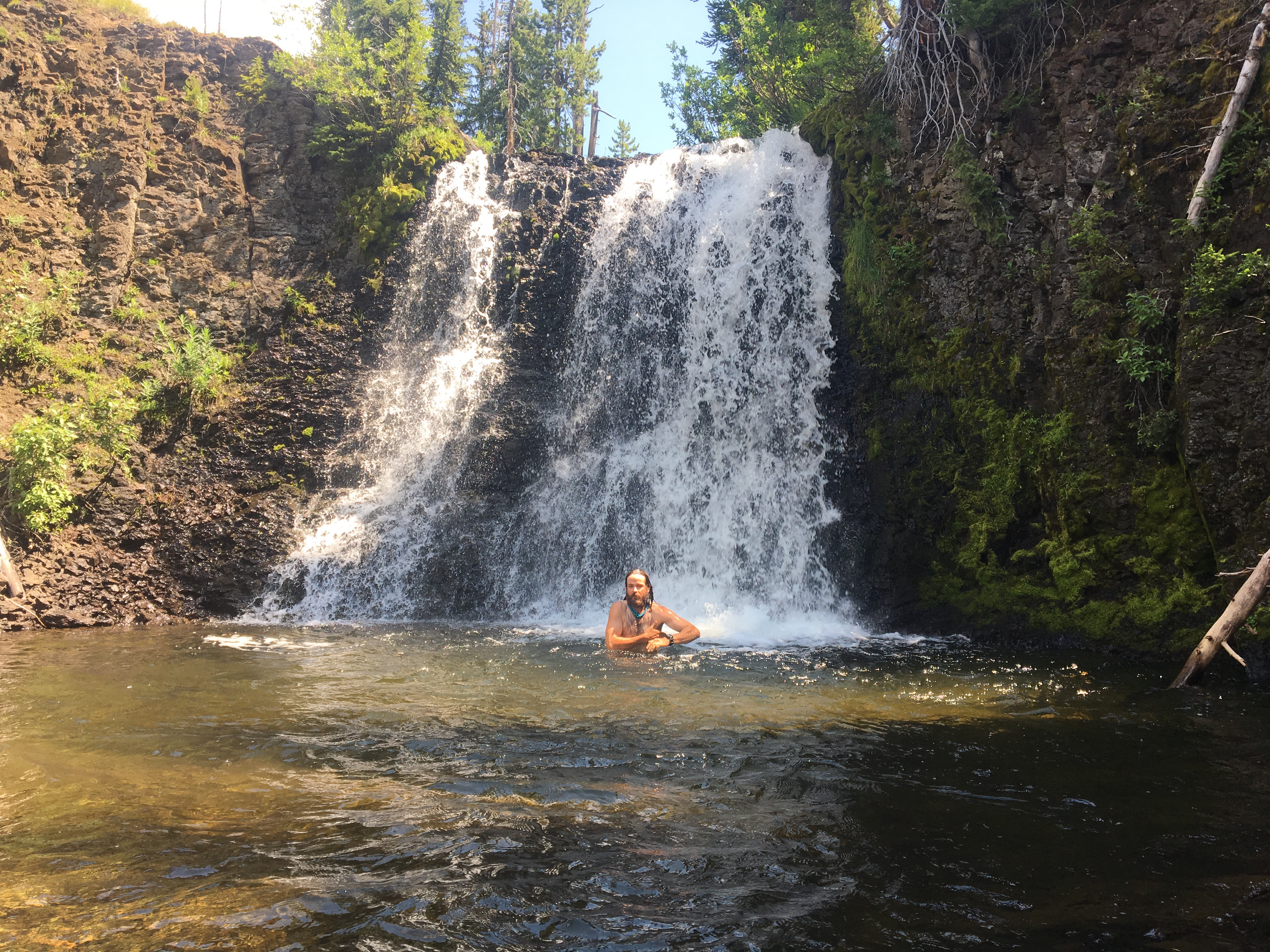
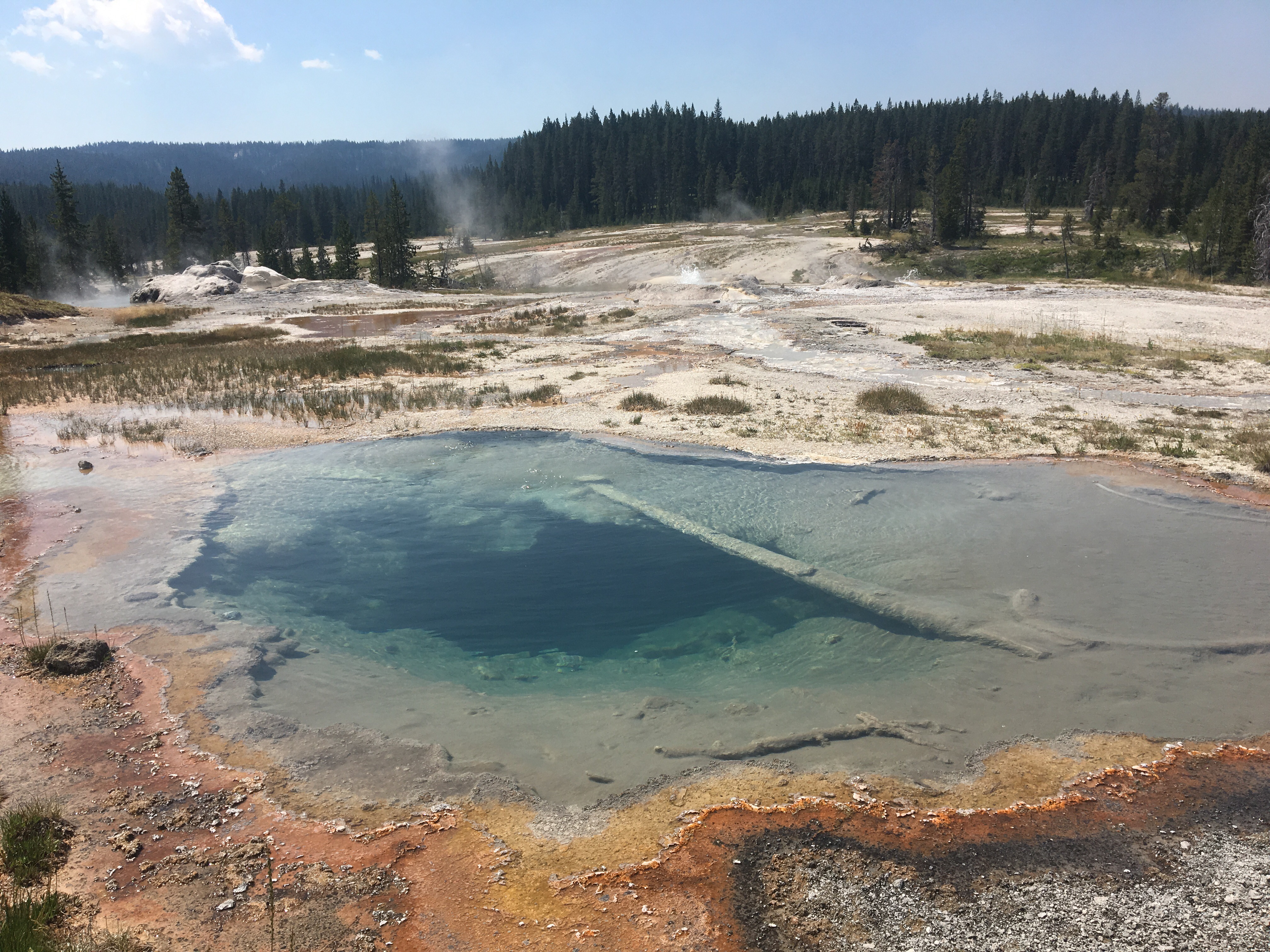
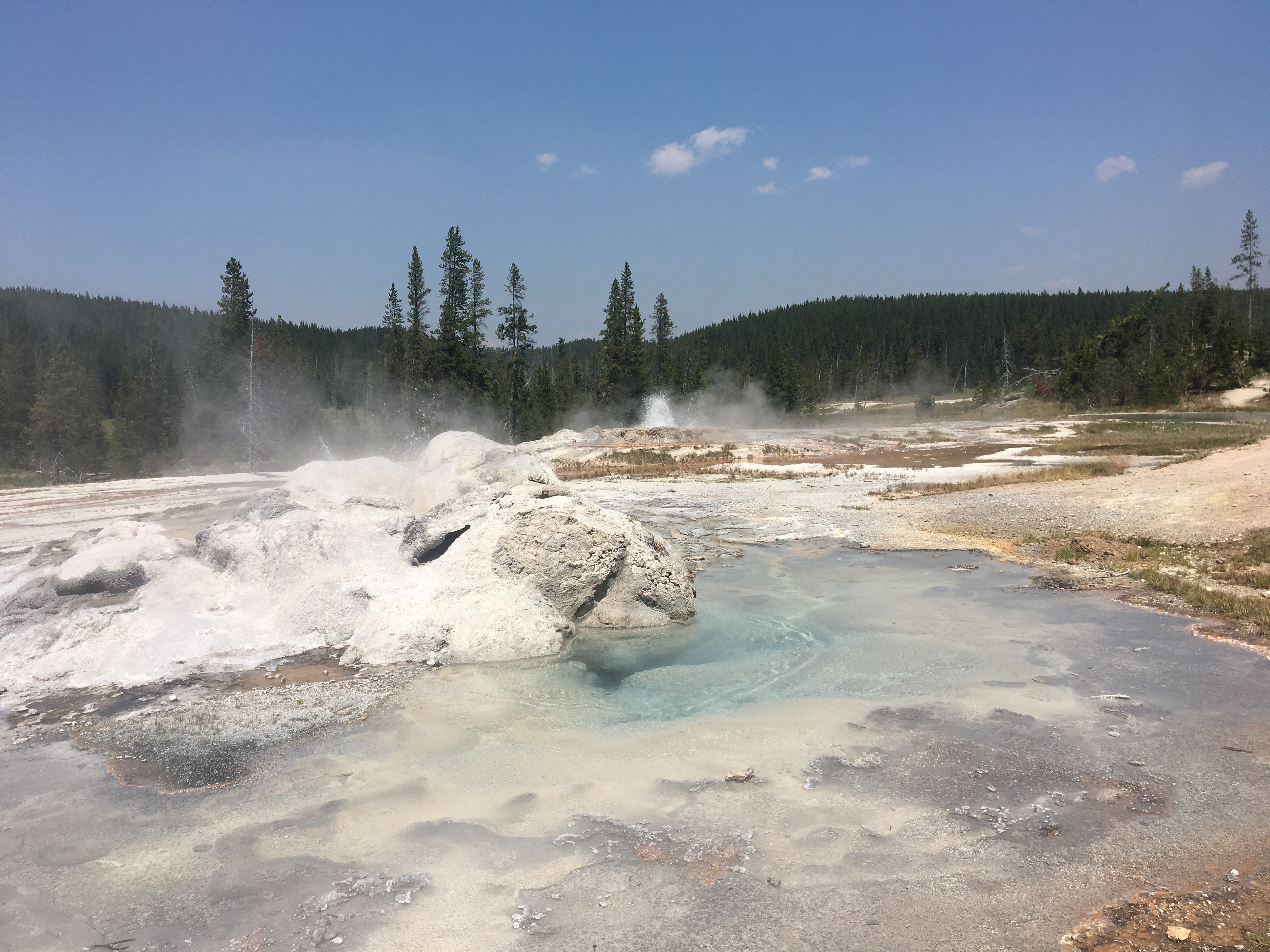
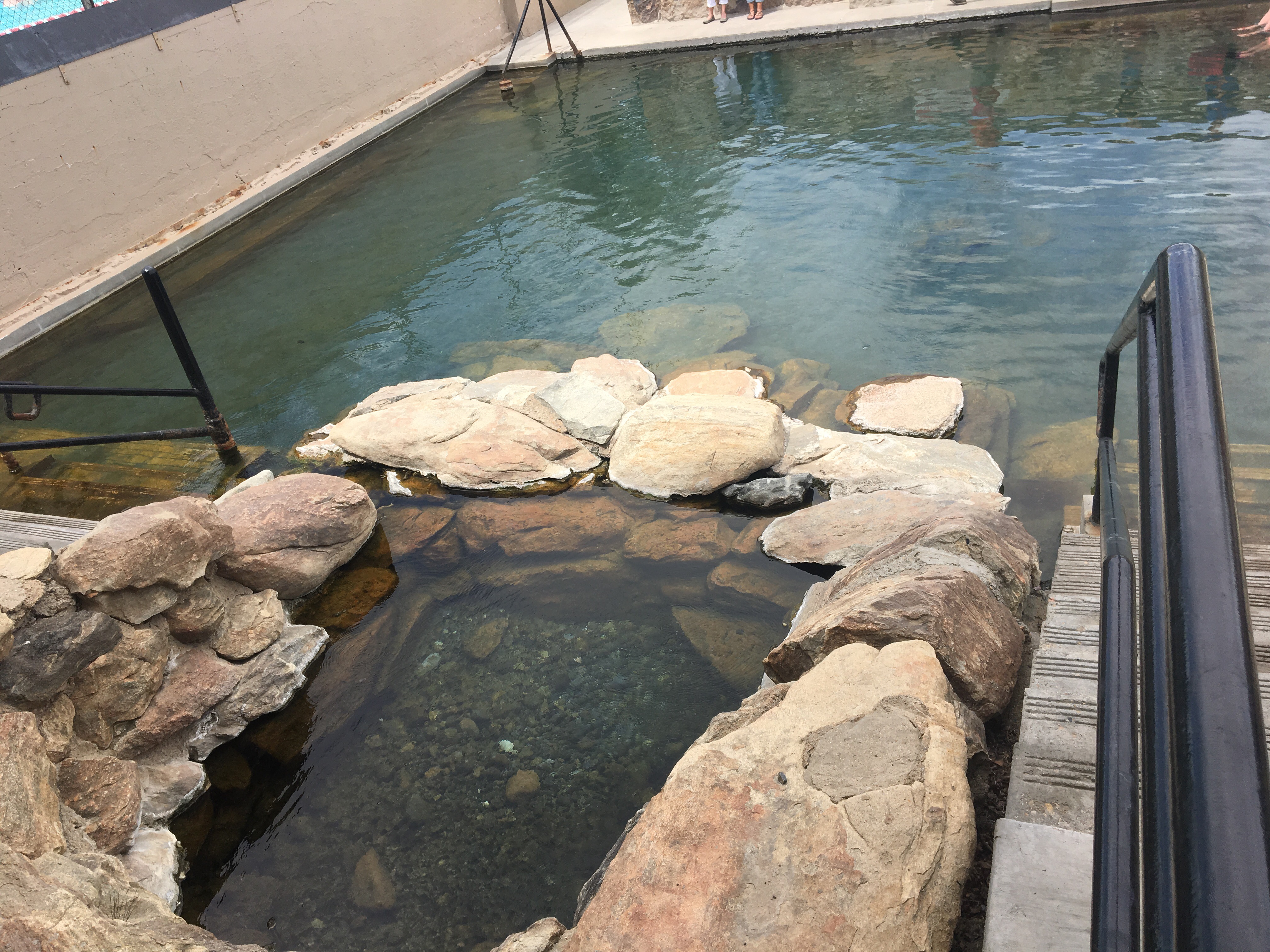 Hobo Hot Springs

