
9/8/20…..20 miles…..Overland Lake
The Ruby Crest Trail follows along the top of central Nevada’s Ruby Mountains for 31 or so miles. We’re hiking from north to south and then again from south to north. Starting at Lamoille Canyon we’ll walk to the southern edge of the Ruby Mountain Wilderness which is about 6 miles north of Harrison Pass trailhead. Those 6 miles are a double track jeep road and Sara and I don’t feel like doing that twice. In a covid free world I’d probably hike one way between the two trailheads then hitch back to the car. These mountains spring up out of the desert in central Nevada creating a sky island of granite peaks and alpine lakes among a rather flat expanse of dry open desert. I’d first heard of this trail from a shelter caretaker on the AT in ‘16, I put it on my to do list then figured I’d get to it one of these times I’m driving across Nevada. The time is now. 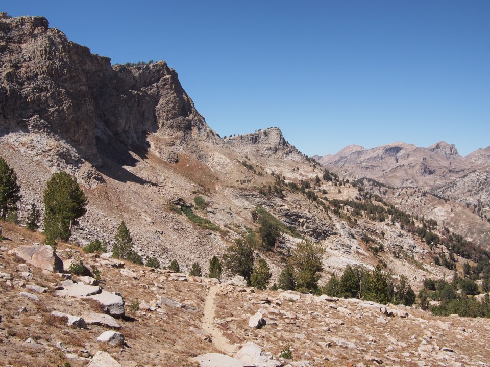
Yesterday Sara and I left Sacramento and drove east all day on I-80 to Elko, NV where we spent the night. Elko is an interstate, casino, desert town that has a big anti-drug billboard that reads, “Don‘t meth up our town.” This morning we drove south for less than an hour and could see the Rubies from a distance rising way up above the desert. Soon they were all around us. While following Lamoille Canyon Road to the end, we were cut off by a coyote which is always a good sign. When we got to the trailhead my cars thermometer read 30 degrees. Yesterday it was in high 90’s. A day before that us 112 in Sac. Be careful what you wish for I guess. 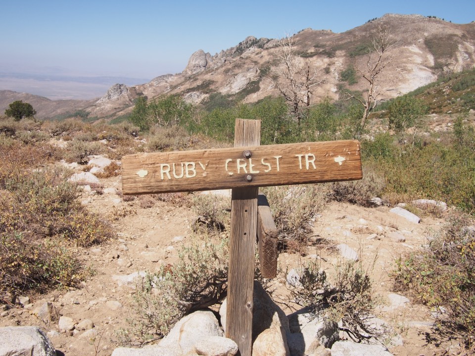
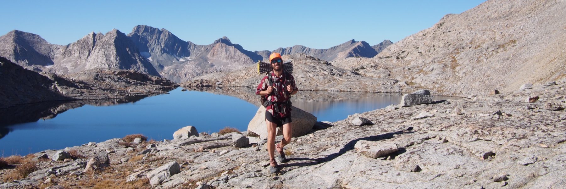
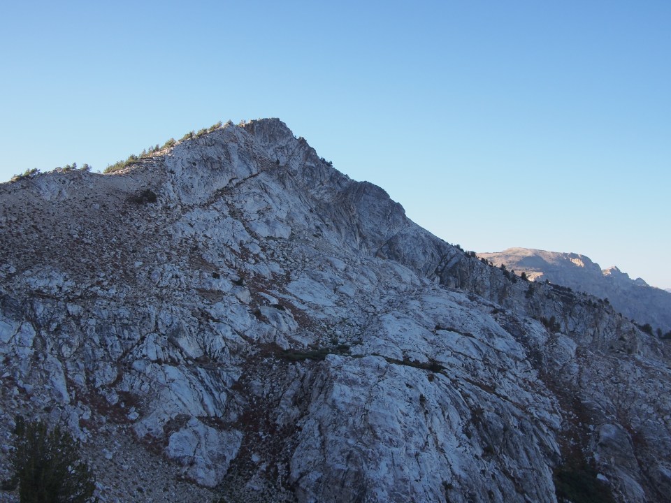
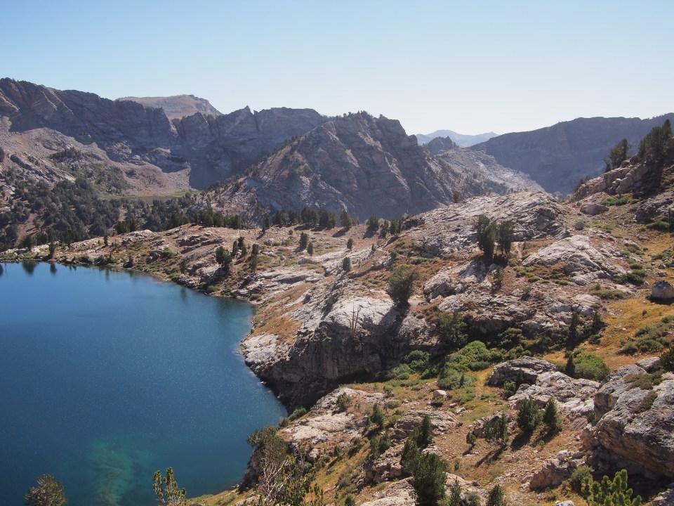
The Ruby Crest Trail begins at the trailhead at the end of the road and the first few miles we climbed steadily up past a few beautiful lakes to Liberty Pass. The views really were remarkable. This place is easy on the eyes. We walked up and down through a lakes basin for a half a dozen miles along with a bunch of hawks and other hunting birds before finding ourselves on a ridge walk for awhile. We topped out for the day on Wines Peak which I believe is the high point of the trail around 10,800 feet. There were a few hikers out there and one of them, Camel, was hiking the Hot Springs Trail which starts on the Canadian Border(I think) and goes to Santa Barbara specializing in hot springs. The trail itself was very nice all day and besides being a little chilly it was sunny and clear out. In the evening we found a cozy campsite next to scenic Overland Lake and quickly set up the tent and warmed up. 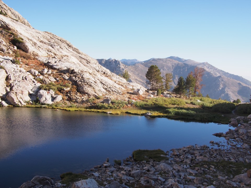
9/9/20…..23 miles…..Overland Lake
We should have left the tent set up and maybe left our sleeping bags in it. Just didn’t think it through and didn’t realize we’d be camping in the same spot again. This morning we zigzagged up above Overland Lake to a smaller tarn and then zigzagged some more to a steep pass which we think is Overland Lake Pass. From here we switchbacked way down a couple thousand feet and suddenly were in cow country. We crossed a couple different forks of Smith Creek where water was flowing then kind of went up and down while contouring on the side of mountains. When we reached the edge of the wilderness and beginning of the double track we figured we really don’t need to out and back 6 miles of atv trail. We turned and doubled back to our spot by the lake. Some say that every trail is actually 2 trails, a trail in each direction. You could say that. 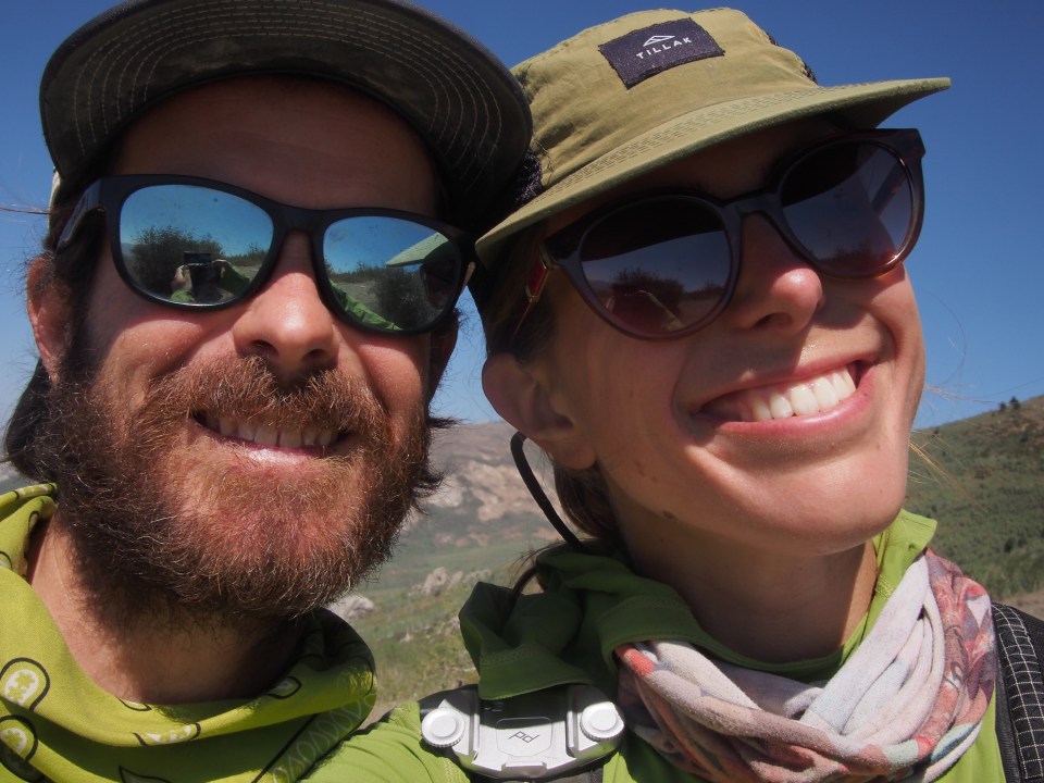

From the top of Overland Lake Pass the scenery gradually got less dramatic heading south. If I was recommending this trail to someone(which I would) I’d say start at Harrison Pass and walk north but just go one way. That way the trail keeps getting better and better. 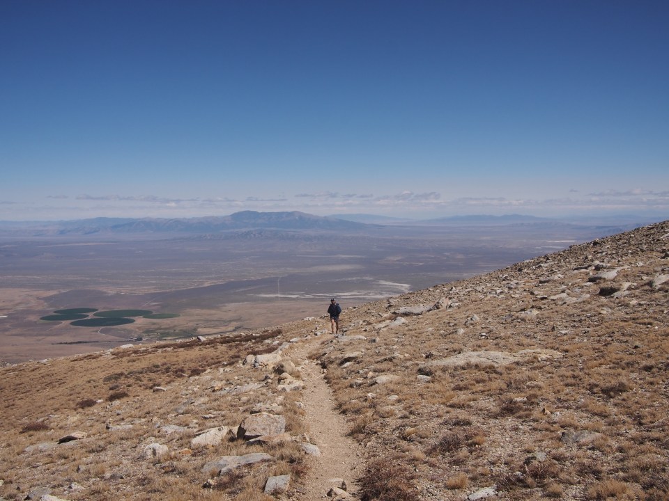
9/10/20…..20 miles…..car
To read about today’s hiking just go back to day 1 and read it in reverse. Just kidding. The weather today was the best of the 3, nice and warm, sunny, no wind, and clear blue skies. I got in my only swim of the trail in Liberty Lake shortly before finishing. 

To prospective hikers or to my future self if I was to hike this trail again I have a couple little nuggets of advice. This is what I would do: first of all I’d prefer to hike it just one way and I’d go south to north as it gets better as you go, if a yo-yo was my only option I think I’d go from the north to Overland Lake Pass and turn around. Also take note that there’s no water for roughly 12 miles between Favre Lake and a series of springs a couple miles south of Overland Lake. Other than that, enjoy! This place is a gem like the name implies. 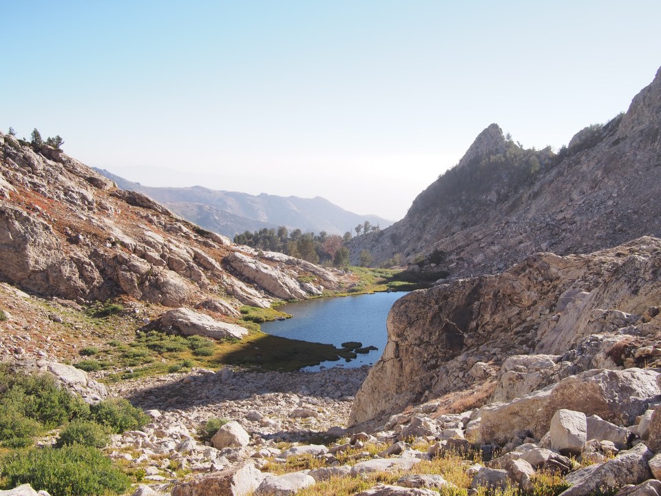
 Feel free to follow this blog or find us on insta for more pictures: @endlesspsummer and @sarahikes
Feel free to follow this blog or find us on insta for more pictures: @endlesspsummer and @sarahikesThese are pretty much all Sara’s pics, I dropped my phone in Lynn Harbor shortly after our trip. Unintentionally of course, and although I recovered it I lost tons of the best pictures you’ll never see.
