Day 33 6/1/17 16 miles
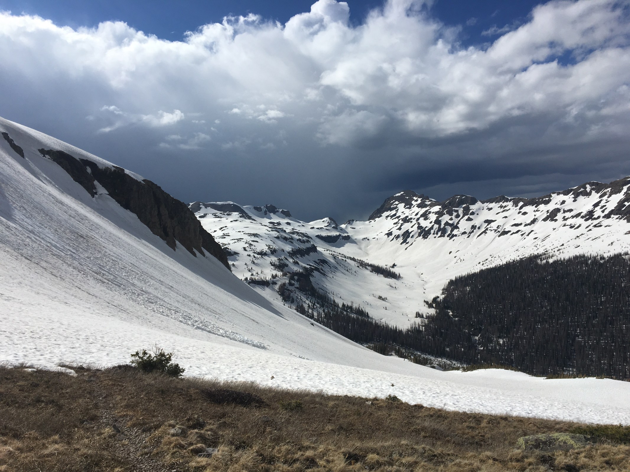
We stayed last night in Chama and this morning parted ways with Speed. He’s already hiked this section of Colorado and is heading home to Denver before he gets back on the trail later this summer. I learned more from Speed in the last couple hundred miles about the outdoors than Queen B and I will learn from each other the rest of the trail. Thanks for coming out Speed, see you in Denver. After eating the most delicious breakfast burrito of my life from the Boxcar restaurant in Chama, Queen B and I got a ride from Cecil back up to the trail-the first car that drove by. Shortly after we got back on trail we realized; it’s on now. The San Juans are no joke. We quickly climbed up to a ridge and walked through lots and lots of snow. All around us on the ridge were threatening thunderheads but luckily we made it through unscathed. Today we got up over 12,000 feet and that’s already higher than any part of the trail in New Mexico. I wore my microspikes for most of the day and for the first time I broke out my ice ax and carried it in my hand. Before today I had my snowshoes and ice ax strapped to my back but finally ended up using all my weapons. For the most part the snow was crispy and we could stay on top of it but in the afternoon it turned into a mashed potato consistency and I was postholing every other step, for this I wore my snowshoes. We dropped down between two ridges and found a rather stellar campsite near a frozen snow covered lake. There were hardly any patches of earth showing anywhere but we ended finding a really nice cozy flat section of ground to sleep for the night. Hoping to stay relatively warm.
On a side note; yesterday in Chama I saw a a dog riding on top of a pickup truck. This was a big f350 or something going about 40 pulling a big work trailer. The dog looked like a full size yellow lab standing up facing forward like a statue. I couldn’t believe my eyes. It was so weird. 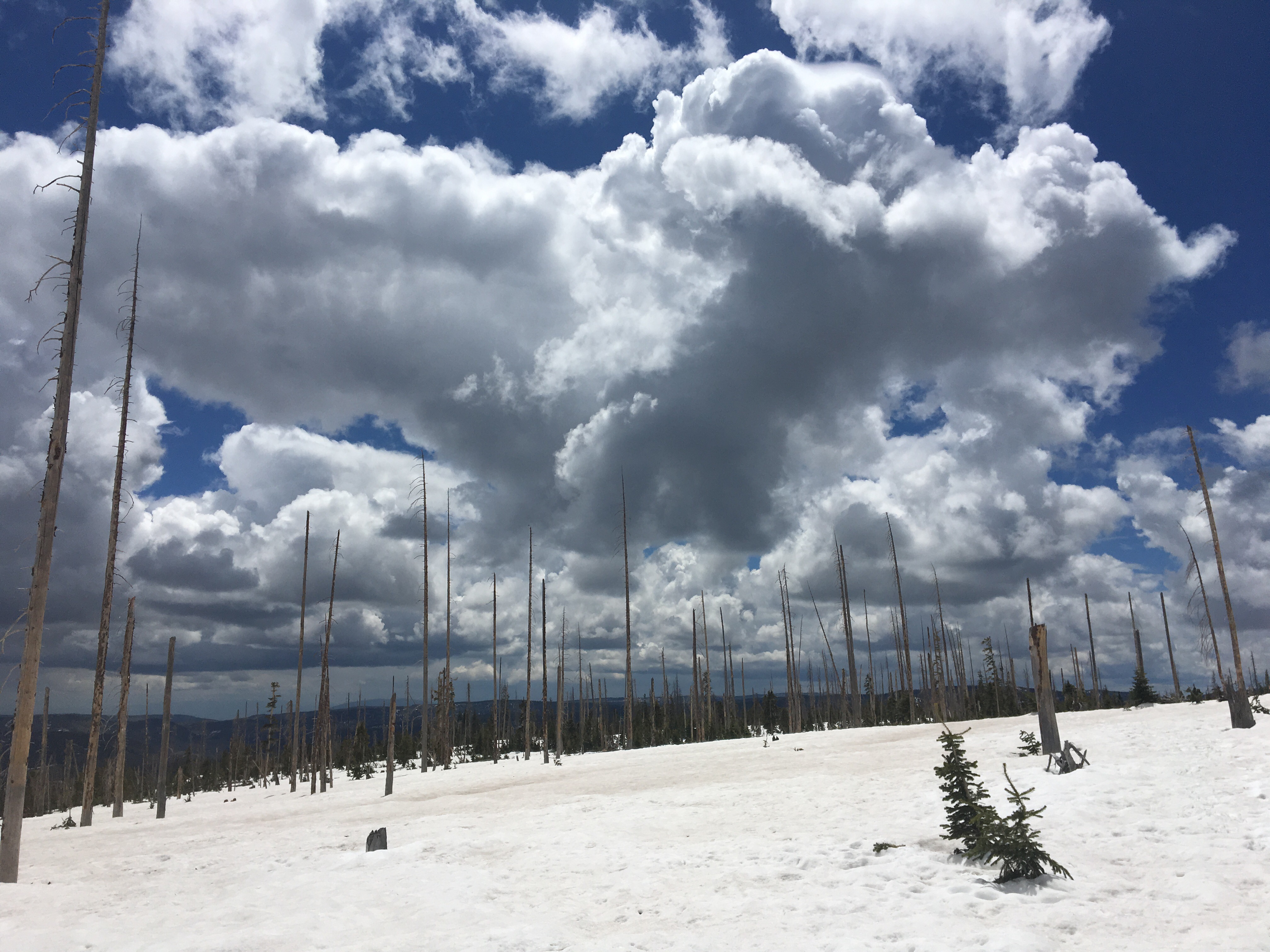

Day 34 6/2 17 miles
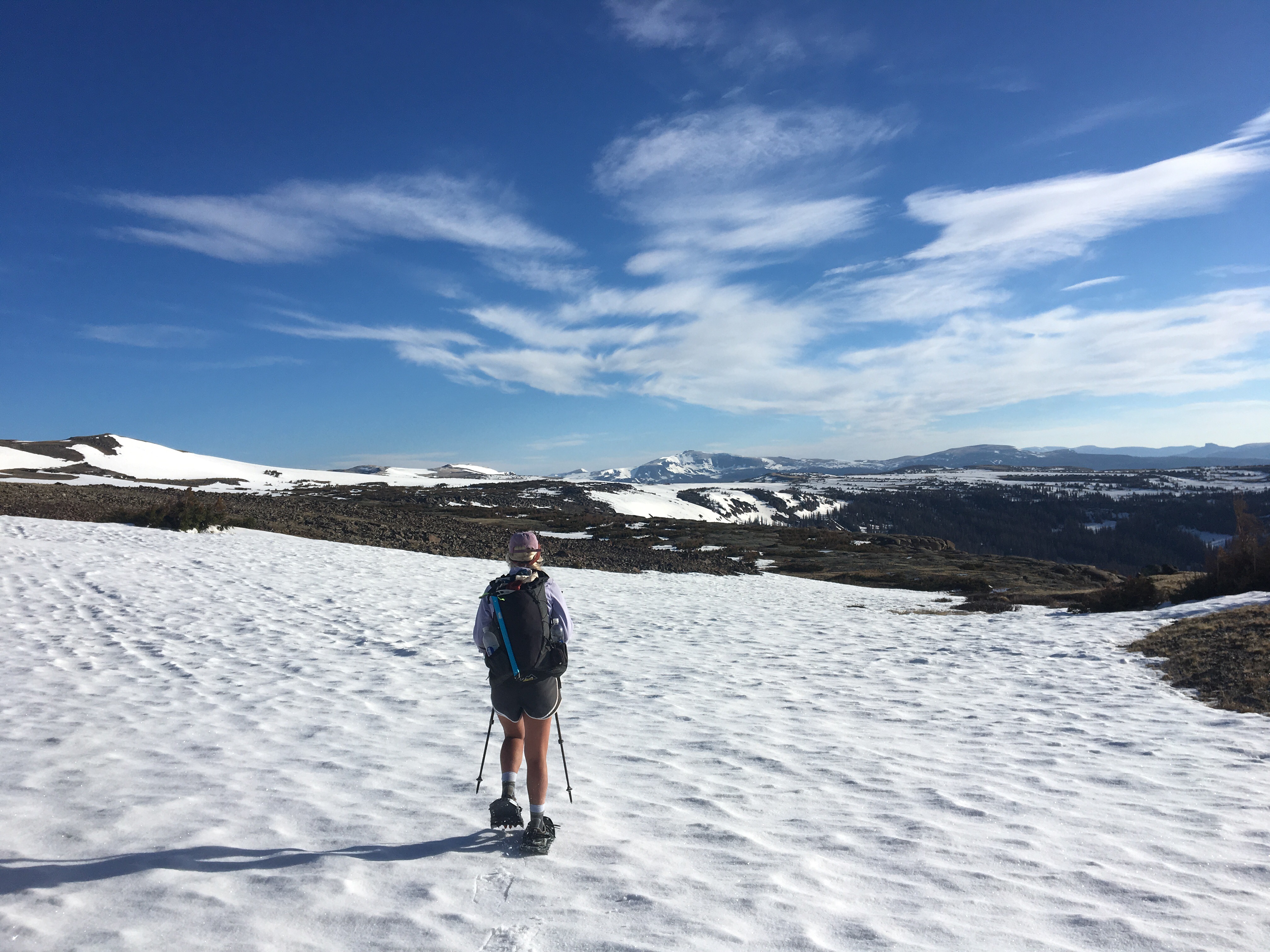
Not all 17 mile days are created equal. Gave it hell today but it wasn’t easy, lots of snow travel made the trail very slow going. We got an early start on the day, in order to try to move quickly over the crispy snow in our microspikes. I put on my cold wet socks and shoes and pretty much every other article of clothing I was carrying, Queen B decided to face the day in running shorts and a long sleeve shirt. She believes in the philosophy, “Be bold, start cold.” Most of the day we spent snowshoeing, which is fun but super slow. After a few hours my feet felt like blocks of ice, then I remembered I had a couple empty plastic tortilla bags I was carrying for this very reason. I put the bags over my socks and it provided another layer, warming my feet up to a comfortable temperature. I swear I learned this trick from a Beastie Boys song. All day we had wide open, incredible, snowy, mountain views. We switched back to spikes in the afternoon and crossed a rather sketchy mountain pass up over 12,000 feet. There were t-storms in the distance but we only got about a half hours worth of rain and were rewarded with a rainbow. Around 6:30 we found a spot to camp in a valley after the pass and below another one. Had we continued until dark we’d have been up high on a ridge with the thunderstorms with little chance of finding decent camping for miles. That’s just bad thru hiking. Today was tough, one of the harder, more memorable, and slow moving days of my hiking career, but it was still awesome. 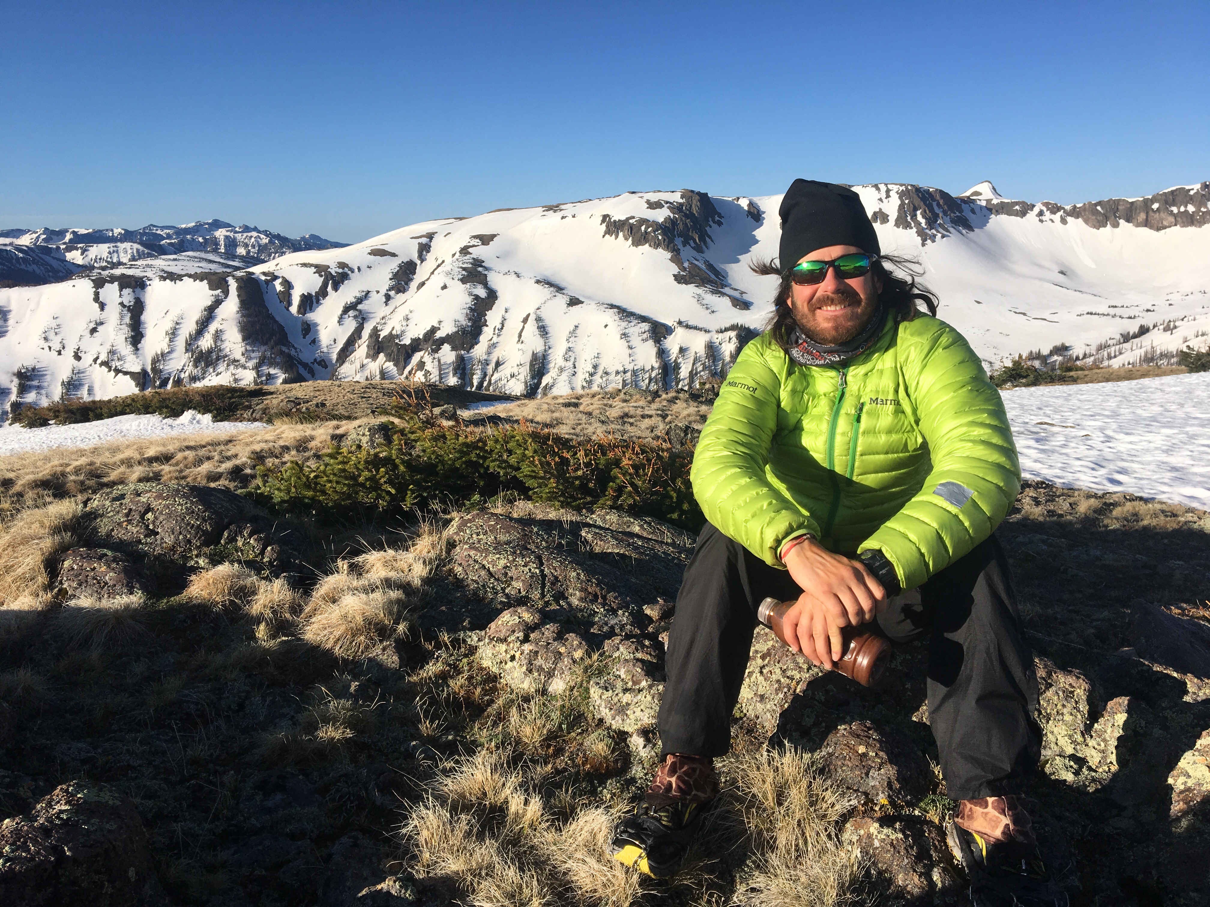
Day 35 6/3 17 miles estimated
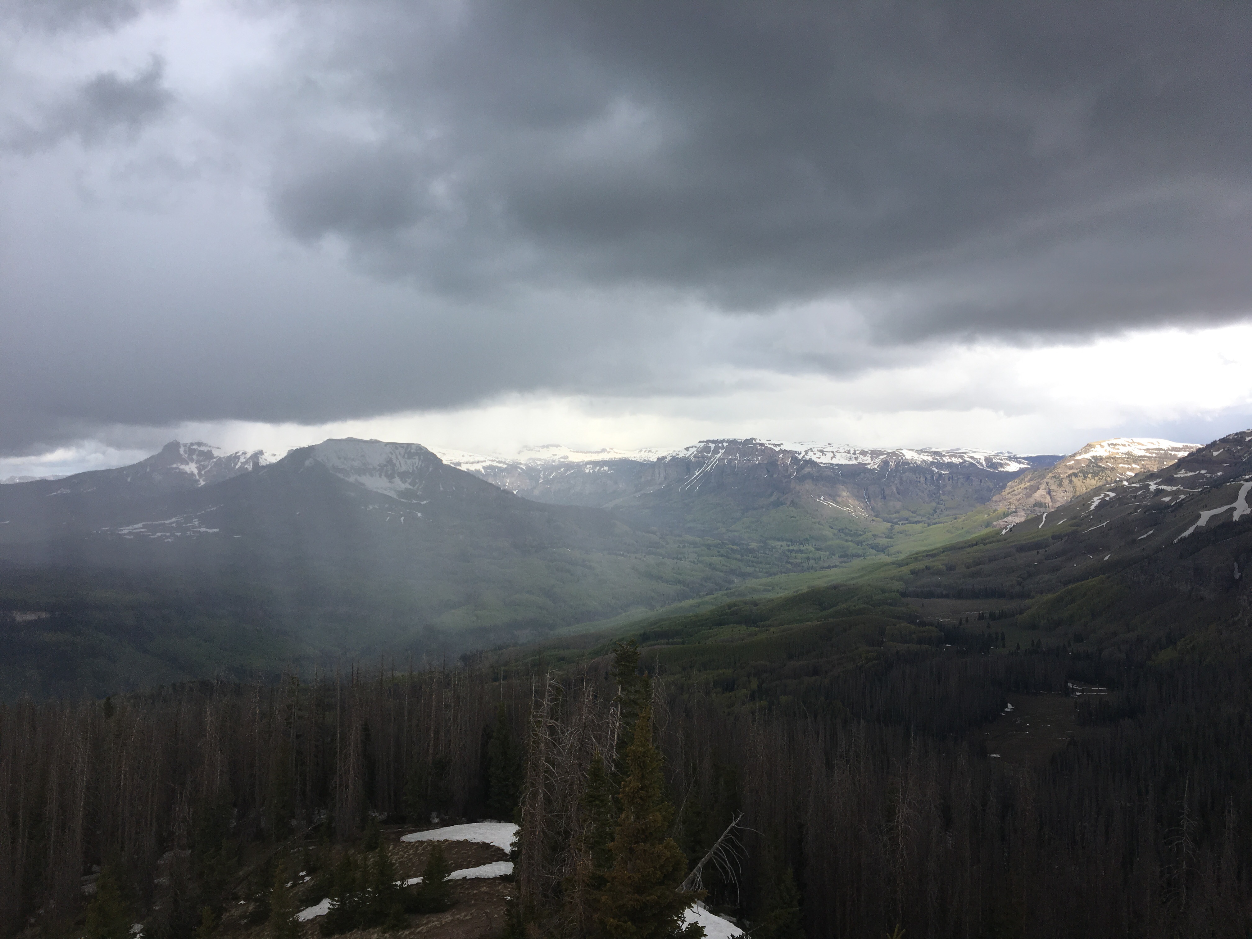
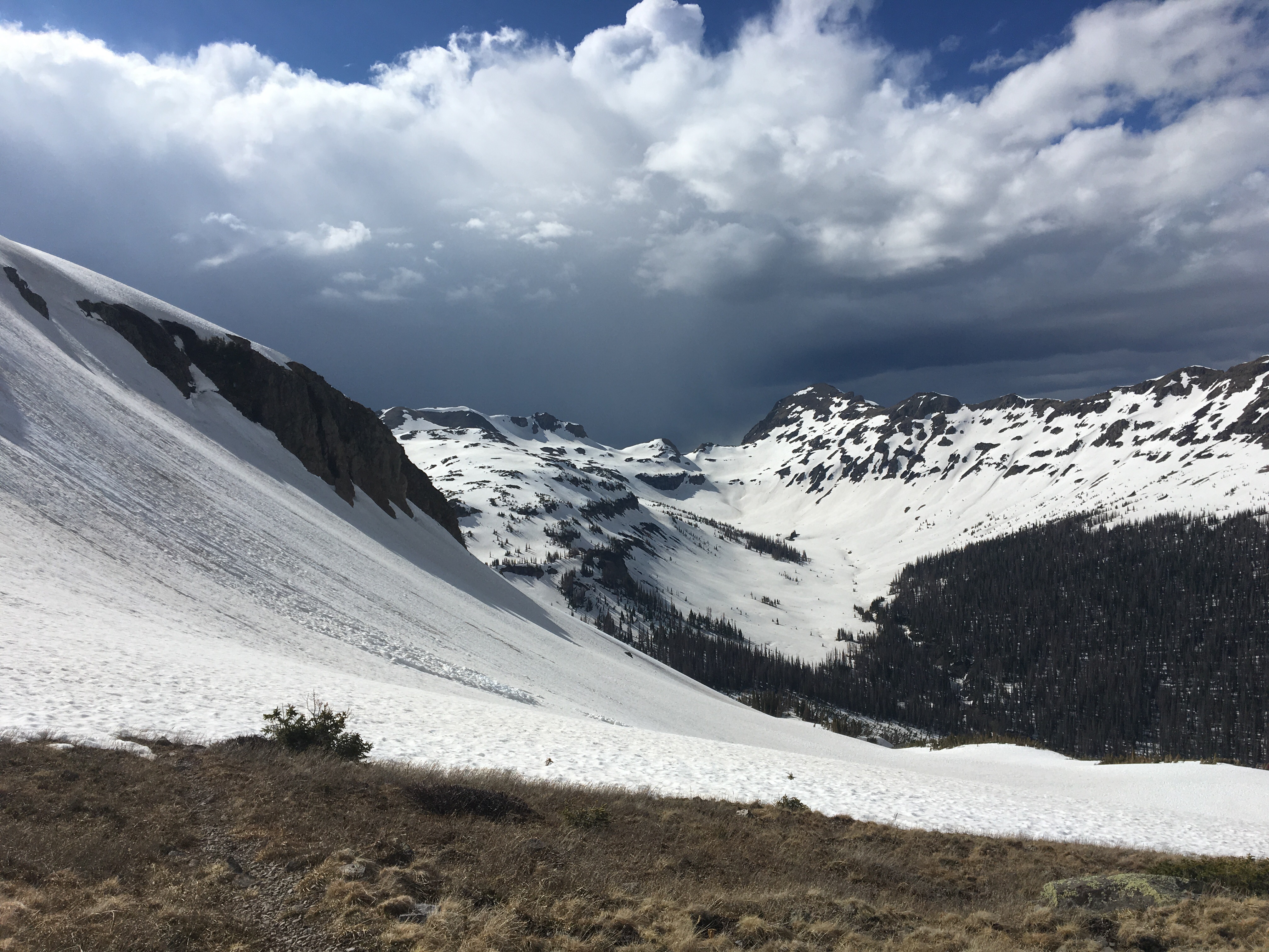
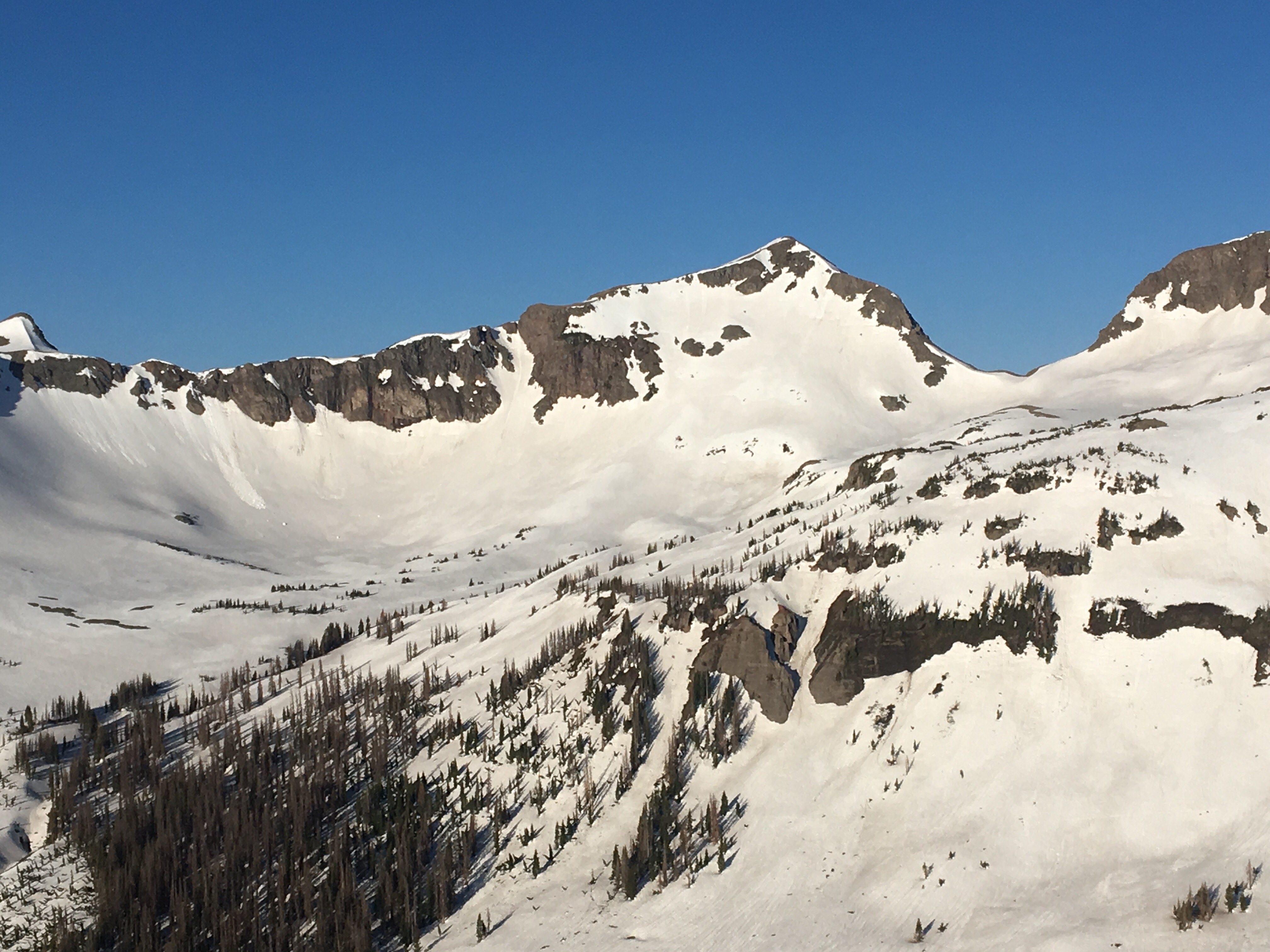
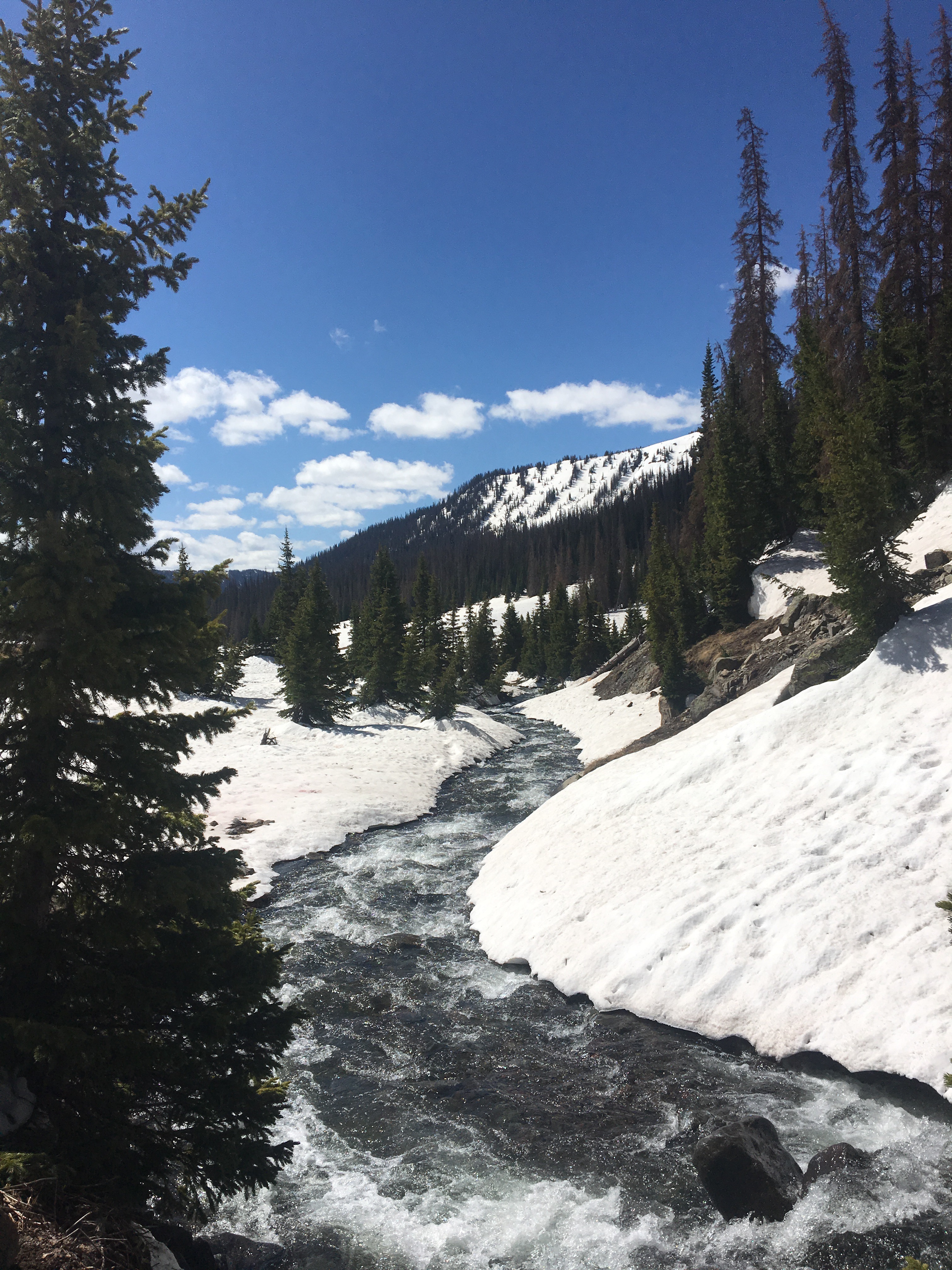
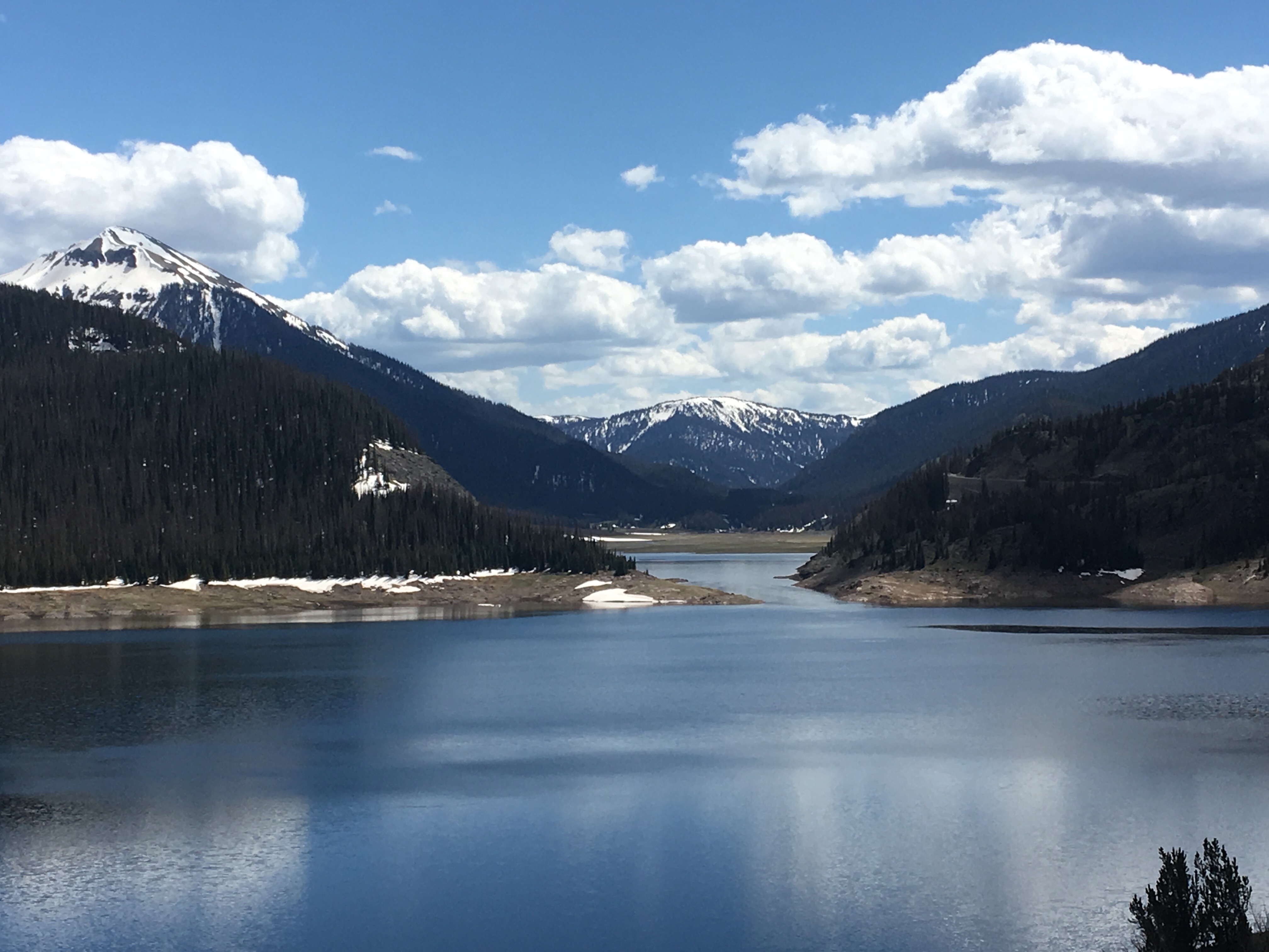
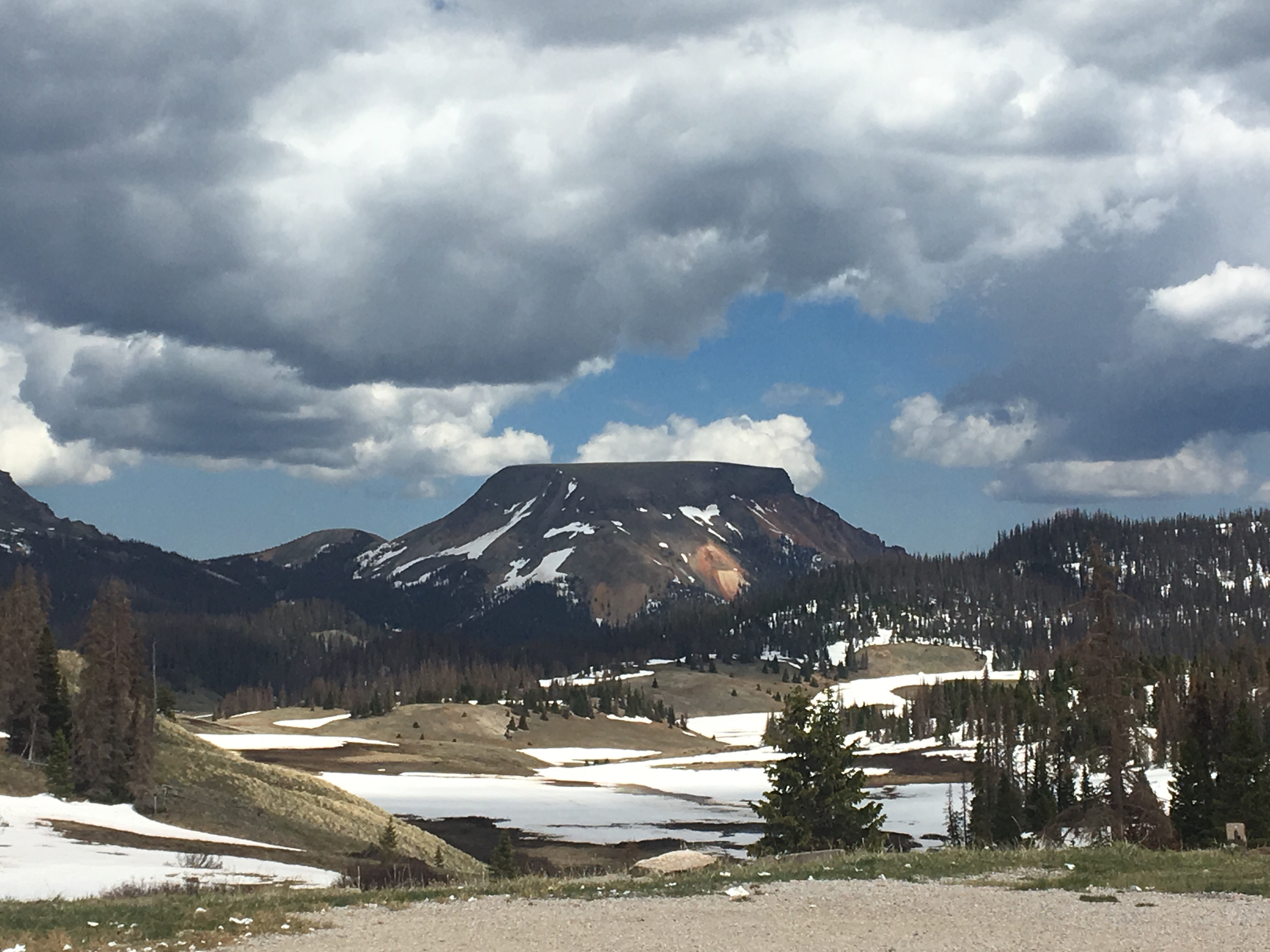
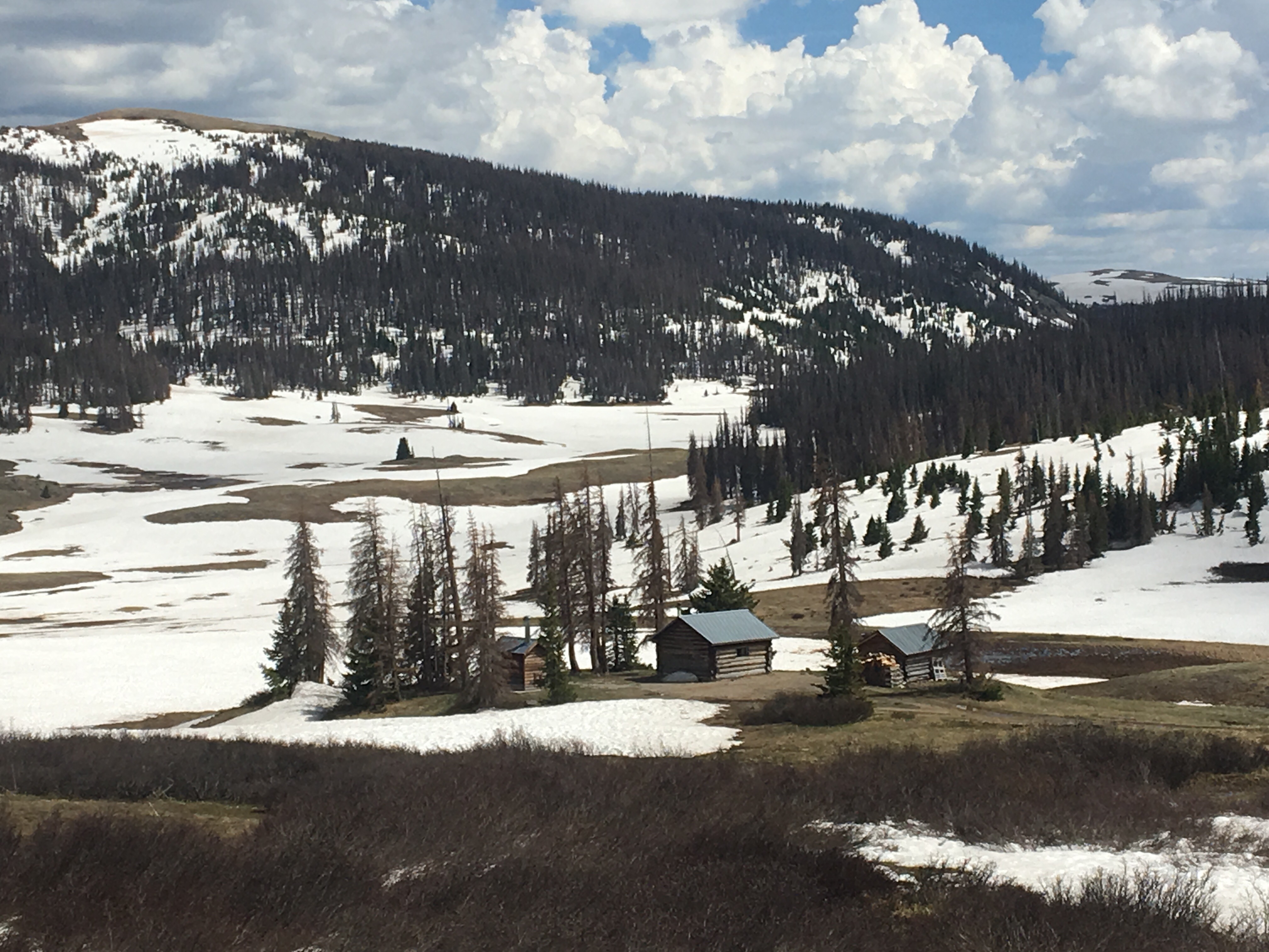
I woke up pretty cold but warmed up quickly as I climbed the first mountain pass while the snow was still pretty crunchy. We continued along a ridge for awhile and then slowly dropped down a very steep slope. This was like walking down White Heat if White Heat was steeper and a lot longer(all you Sunday River skiers will get the reference). There actually had been at least a pair of skiers there previously and had carved some nice figure 8’s into the side of the mountain. We climbed again and then contoured along a mountain for awhile. As the sun rose in the sky the snow became slushy and slippery. This went on for awhile, at around 9:30 we only had about 3.5 miles for the day. At this rate we were only looking at about a 13-14 mile day and it would take at least an extra day and a half to get to town. I had started to ration food yesterday when I realized how long it was taking us. On this steep stuff, every step has to be precise and takes total concentration. Besides being physically demanding, it’s mentally exhausting. With all that being said we realized it would be borderline reckless to carry on and we should start considering alternatives. There was a valley way below us with a river and looking at our maps we saw that it eventually led out to the tiny town of Platoro, CO. From Platoro we can pick up another trail that will lead us to the Creede route through the San Juans if that’s what we choose to do. Once we got down to this river, we followed it for awhile and eventually it converged with two other forks and they all drained into the Platoro Resevoir. Finally we got down to this tiny town that has an old rustic lodge, cafe, and minimal amount of food for sale but enough for a minor resupply. They’ve also got airstream trailers for rent so that’s where I’ll be calling it a night. 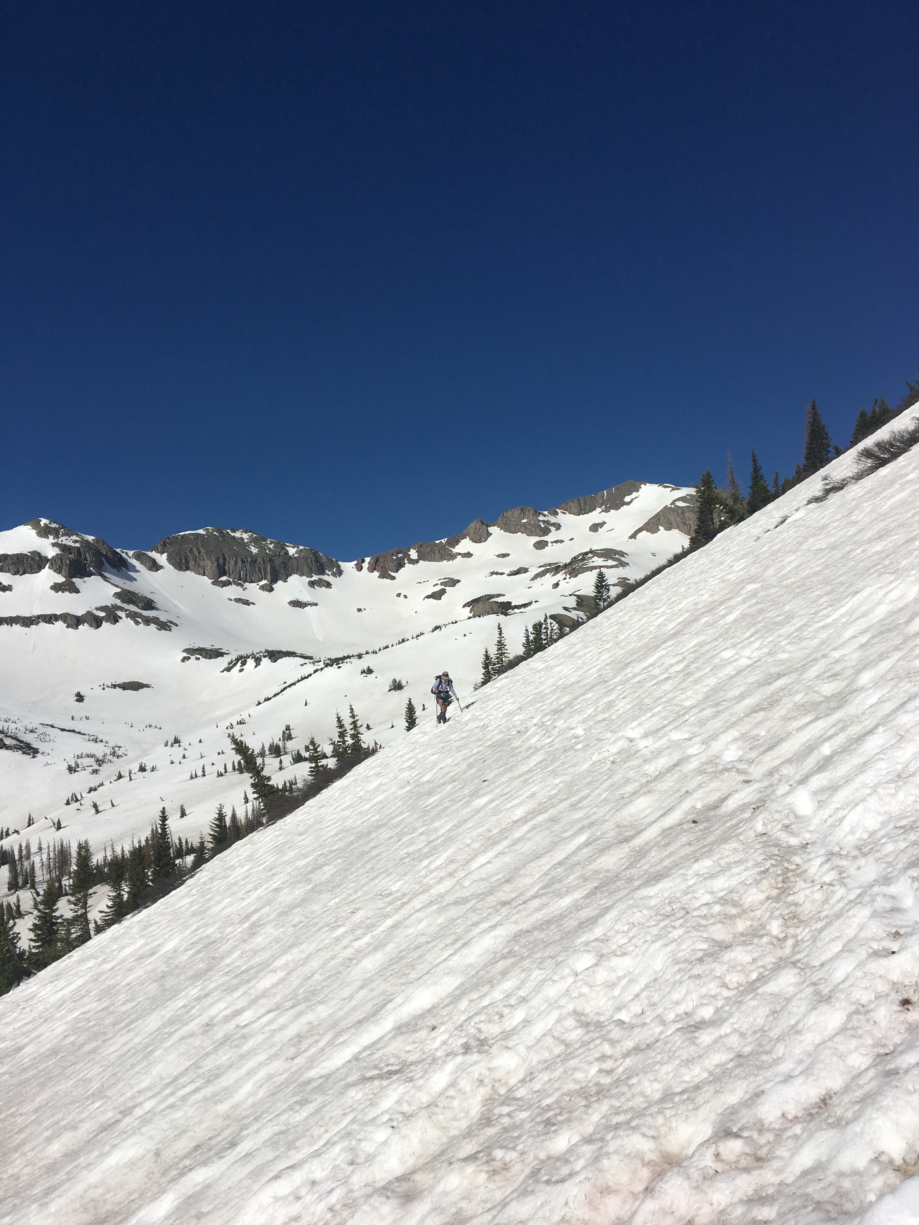
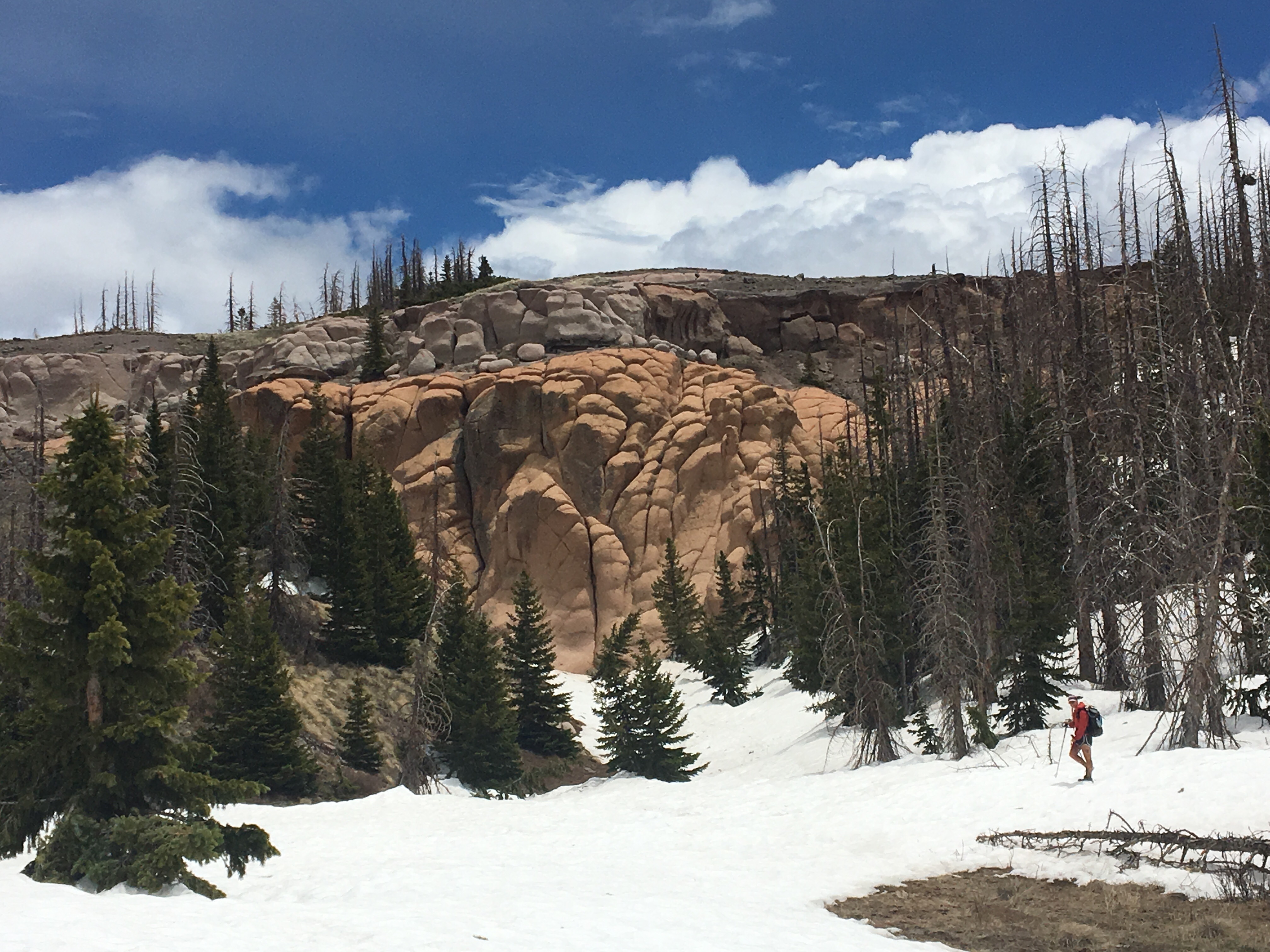
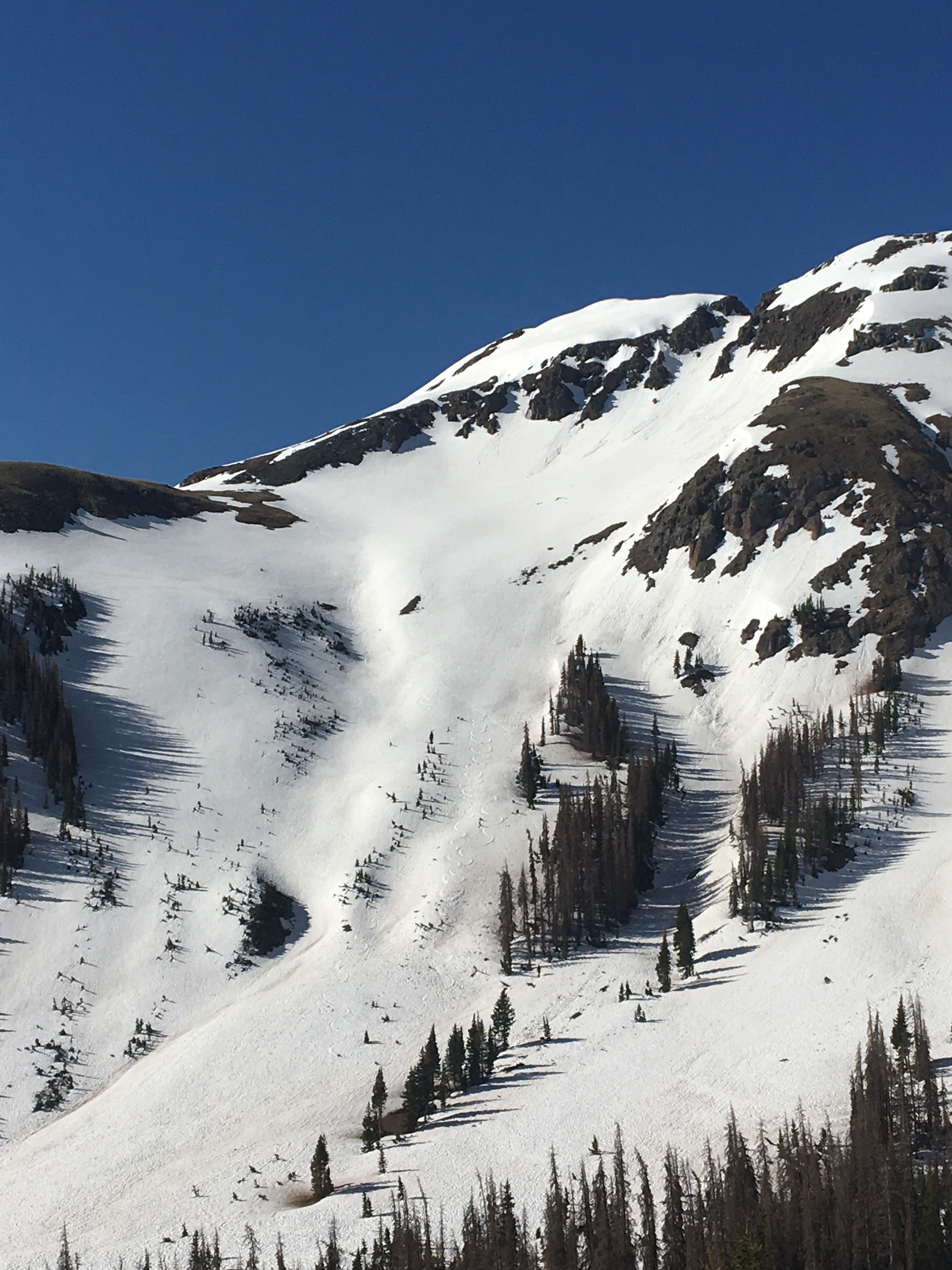 Look closely and you can see the figure 8’s
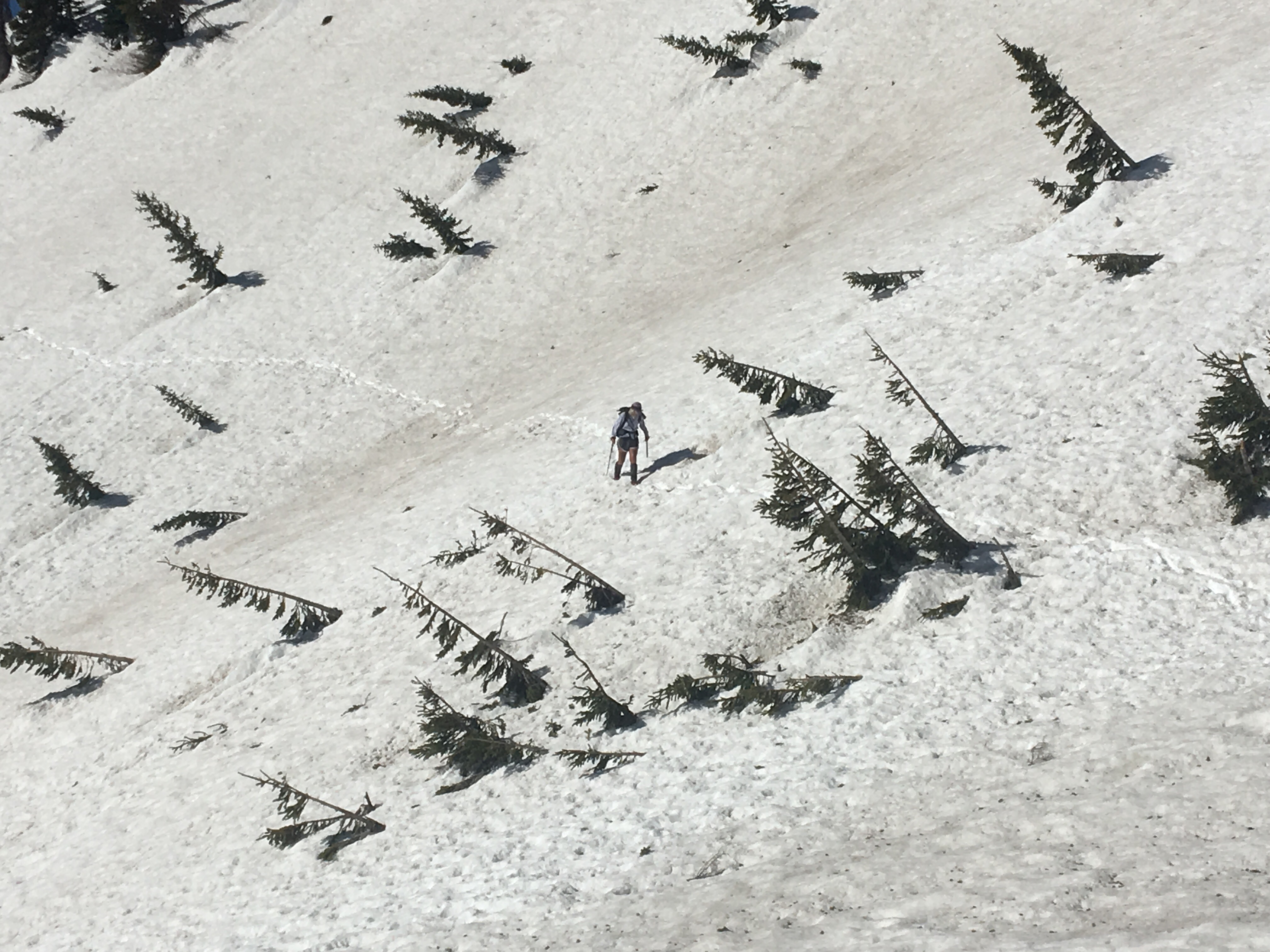
Day 36 6/4 26 miles
Platoro was quite the little town, look it up on a map or on Wikipedia or something. There really isn’t too much there but it’s cool. It used to be a mining town but now there’s just a couple of restaurants and lodges that rent out little cabins or Airstreams to hikers, bikers and travelers. We met the two guys that spent the first winter in town in the last 40 years or something crazy. Ernie and Paul, they own Platoro Valley Lodge and Cabins. Next time I’m in town I’ll stay there, seemed like a much better deal, they look out for the hikers and it’s the only place in town with even a hint of wifi. This morning we pigged out at the Golden Nugget Cafe for breakfast and then started walking a long dirt road up to Elwood Pass. For a few miles there was a fair amount of snow on the ground until we got over the Pass and descended for the rest of the day. It was a pleasant road walk and nice to stretch the legs after a lot of difficult hiking lately. In the evening we found a nice campsite in the woods next to the road and around 60 degrees should’ve done comfortable sleeping. 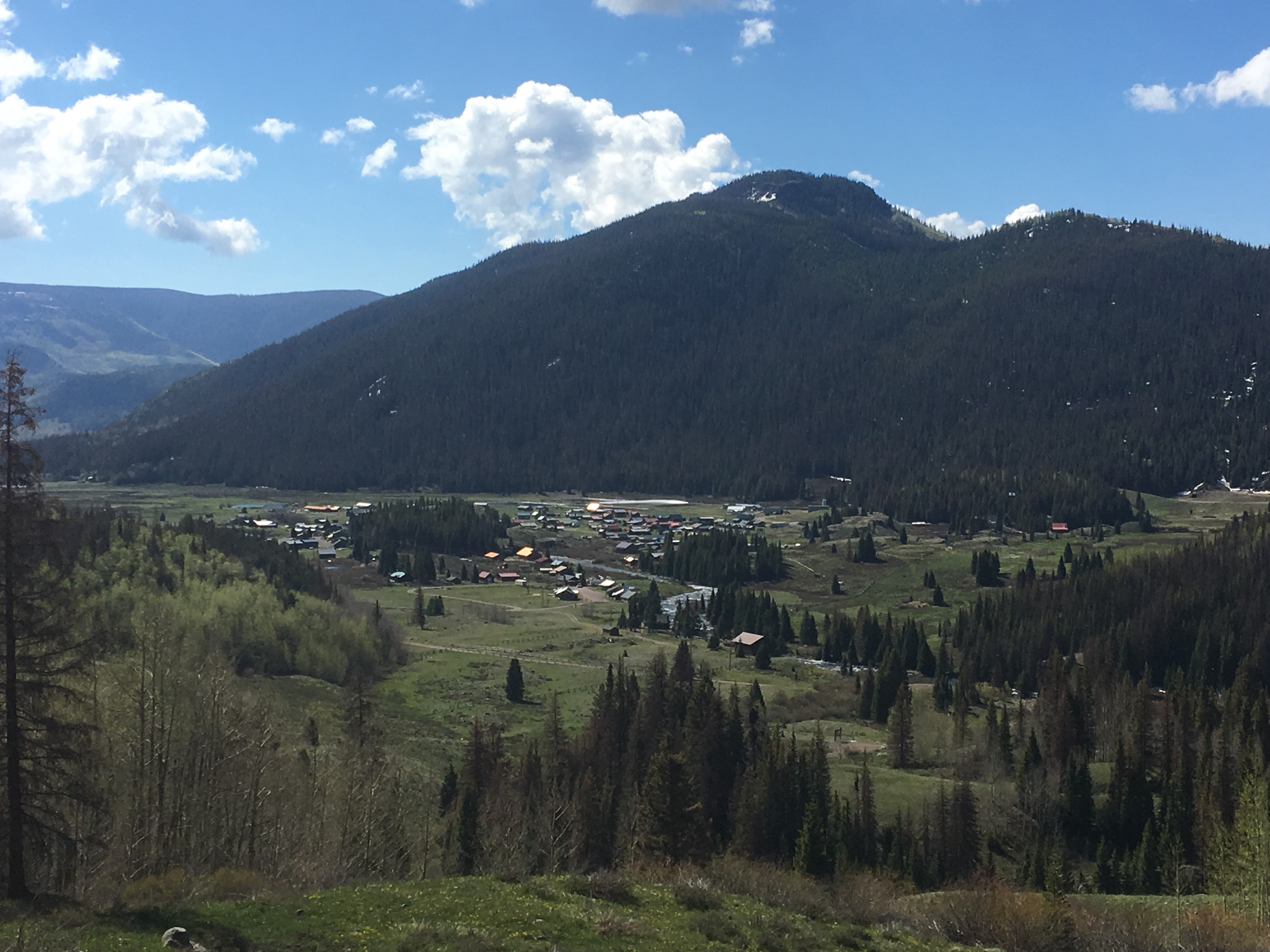 Looking down at Platoro
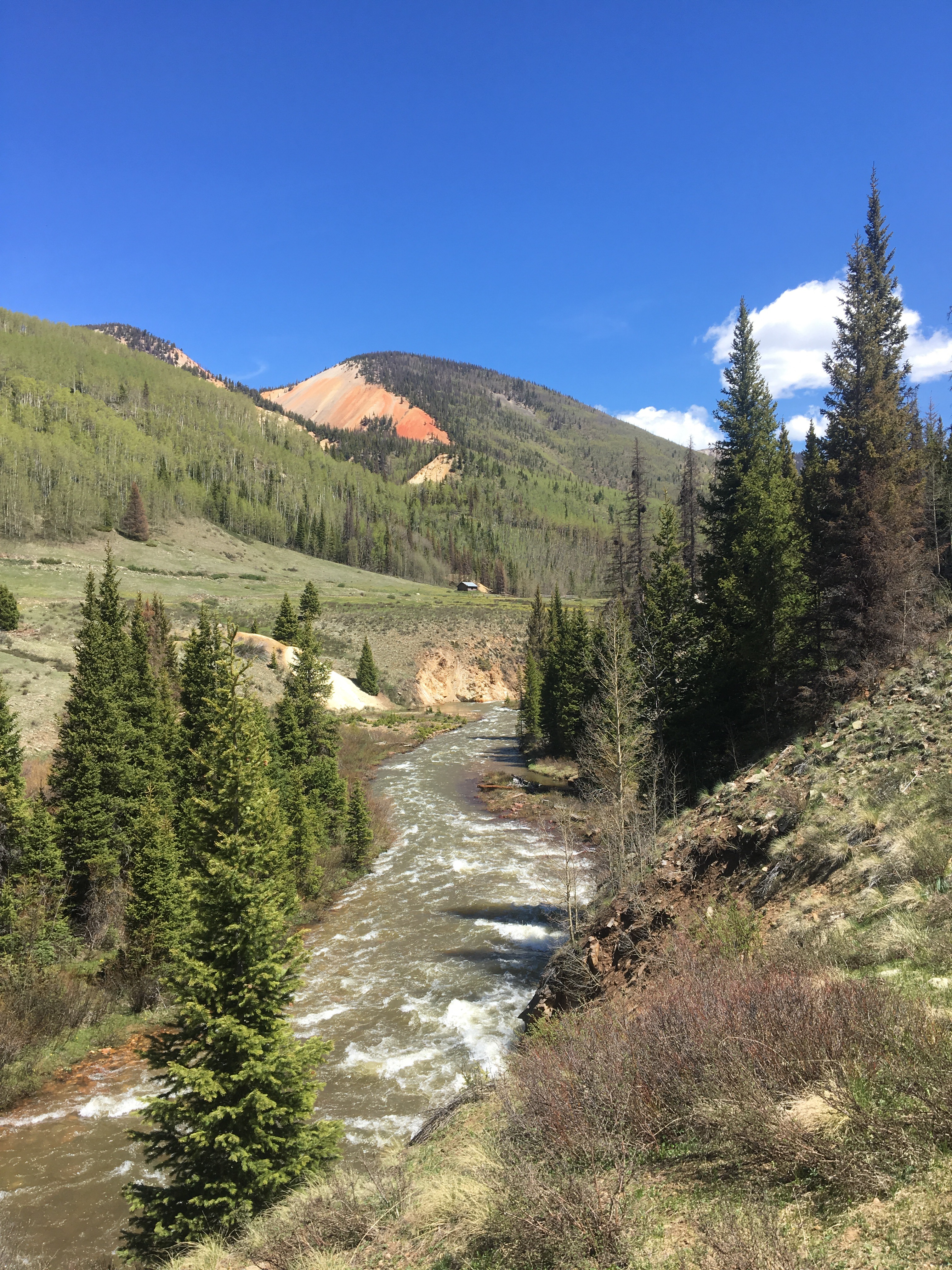
Day 37 6/5 14 miles
This morning we walked about a half dozen miles of dirt road before getting to a highway and walking about 8 to South Fork, CO. From South Fork, QB and I hitched over to Pagosa Springs and met up with our friend Lost’N’Found. It was a great day, ate tons of town food, came up with a plan for the next section and bought tons of food for it. I feel like I was light on food for the last section so I probably over did it this time. Better off with more food though, but it sure is heavy. Lost drove us around all day and is putting us up for the evening. We spent the night relaxing in some hot springs here, place is awesome. Tomorrow morning the plan is to hitch up to Wolf Creek Pass, get back on trail there and try to take the high route on to Silverton. Things could change though, stay tuned. And follow me on insta if you want to see more pictures @endlesspsummer 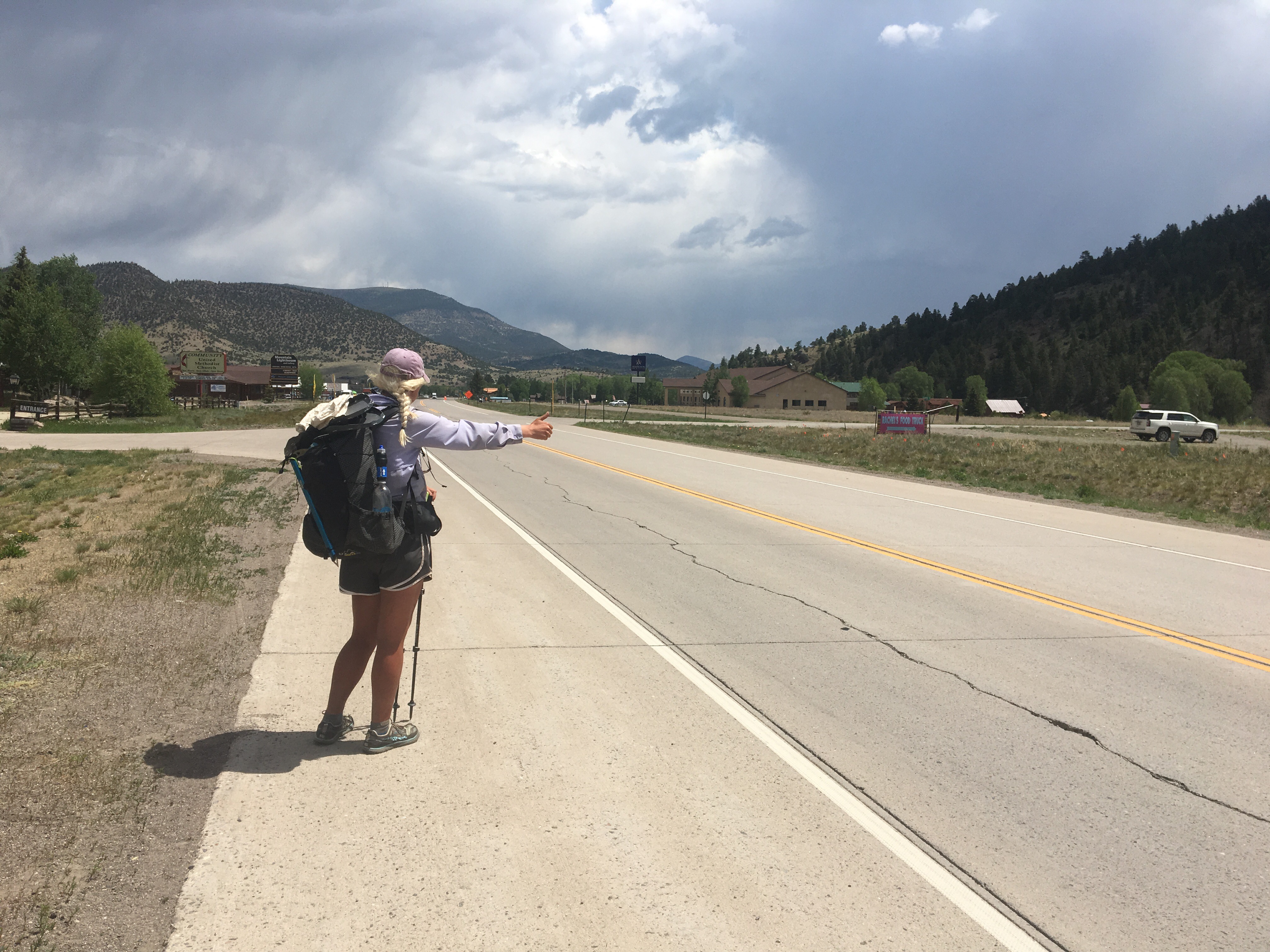

I went to a geology field camp just east of Gunnison way back in 1977 and your photos are really great. Colorado is so gorgeous!
LikeLiked by 1 person
Glad you like the pics, and thanks for reading!
LikeLike